
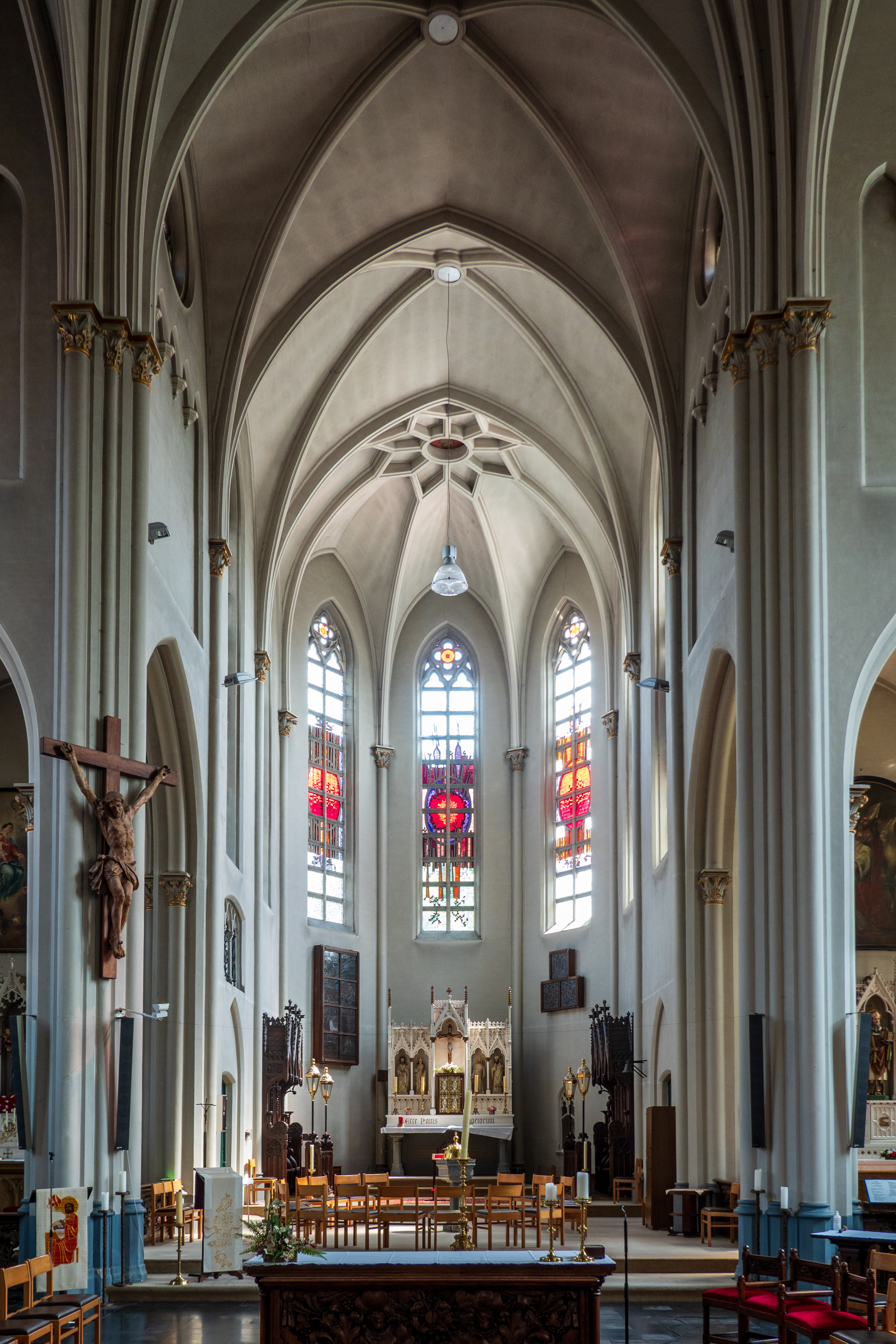
Ypres can be pronounced at least three ways, and spelled at least four ways, in Flemish, French, and Cockney. After the horrific losses in the Great War, the British and the Commonwealth own the town, and so we went with the Cockney pronunciation – “Wipers.” Back in the day, it was probably preceded by at least one unprintable epithet. We went to Ypres to visit the historic sites.
En route to Ypres from Bruges, we stopped at a most interesting Aire in the parking lot of an ice-cream factory/restaurant. Ice cream AND a restaurant AND free camping ? A triple threat! (https://smart-ijs.be) Shows up as a “farm” stay on Park4Night! We enjoyed an ice cream on the day we arrived.

The next day, we cycled into the nearby towns of Wingene and Egem.

The Egem church is not on any tourist route, but it is, in fact, very pretty. After visiting the church, we decided to skip the sandwiches we had bought for lunch and wandered over to a food truck. The local butcher was having work done on his shop, and was selling from his truck. We found bitterballen (https://en.wikipedia.org/wiki/Bitterballen), a favorite, and then Fred decided to have a hamburger and of course a few Belgian fries. Great fun! (The sandwich did get eaten the next day – nothing goes to waste!)
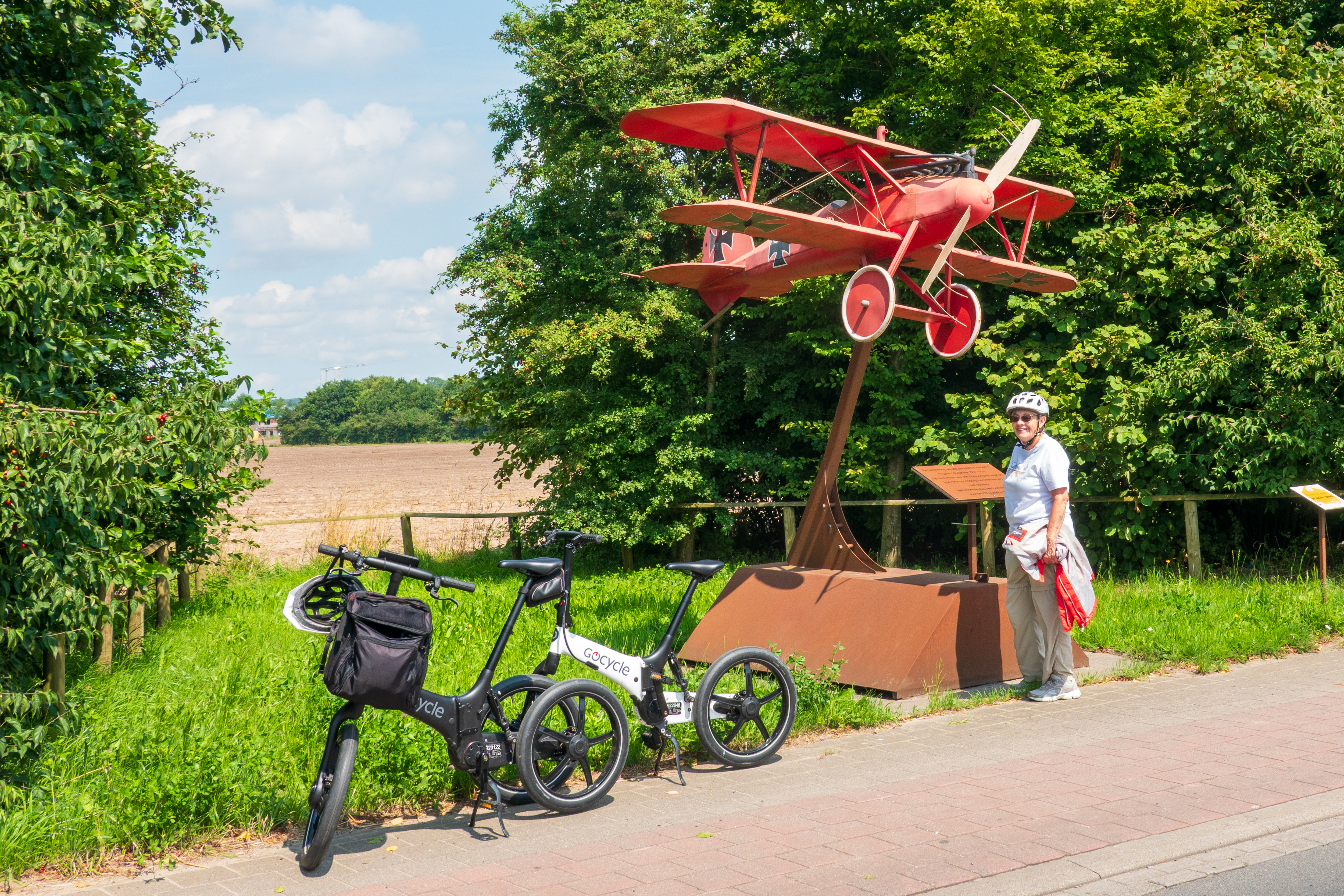
On the ride home, we stopped at a small monument at the site of a Great War German airfield.
Arriving back at the ice cream factory, we went to the restaurant for a really pleasant outdoor meal. It is always fun to eat out when we do not have to move the truck or head out on bicycles.
Ypres simply drips history and we learned a lot. Fred had a boss who was deeply into the Western Front association, but we have always concentrated on the Second World war. This was new territory for us, literally and historically. (https://en.wikipedia.org/wiki/Ypres_Salient) This map gives an idea. The Germans held to the right, the Allies to the left. And thousands upon thousands still lie in the beautiful fields all around.

We camped in an urban campground, in easy walking distance of the downtown. (https://urban-gardens.be/en/ypres/) We wandered along the river, into the pretty town center. Ypres was essentially flattened in the Great War but has been reconstructed in the original style. We bravely resisted the siren call of the chocolate stores, but stopped for more ice cream. After the cold and soggy start to our trip, it had turned sunny and warm – just lovely.

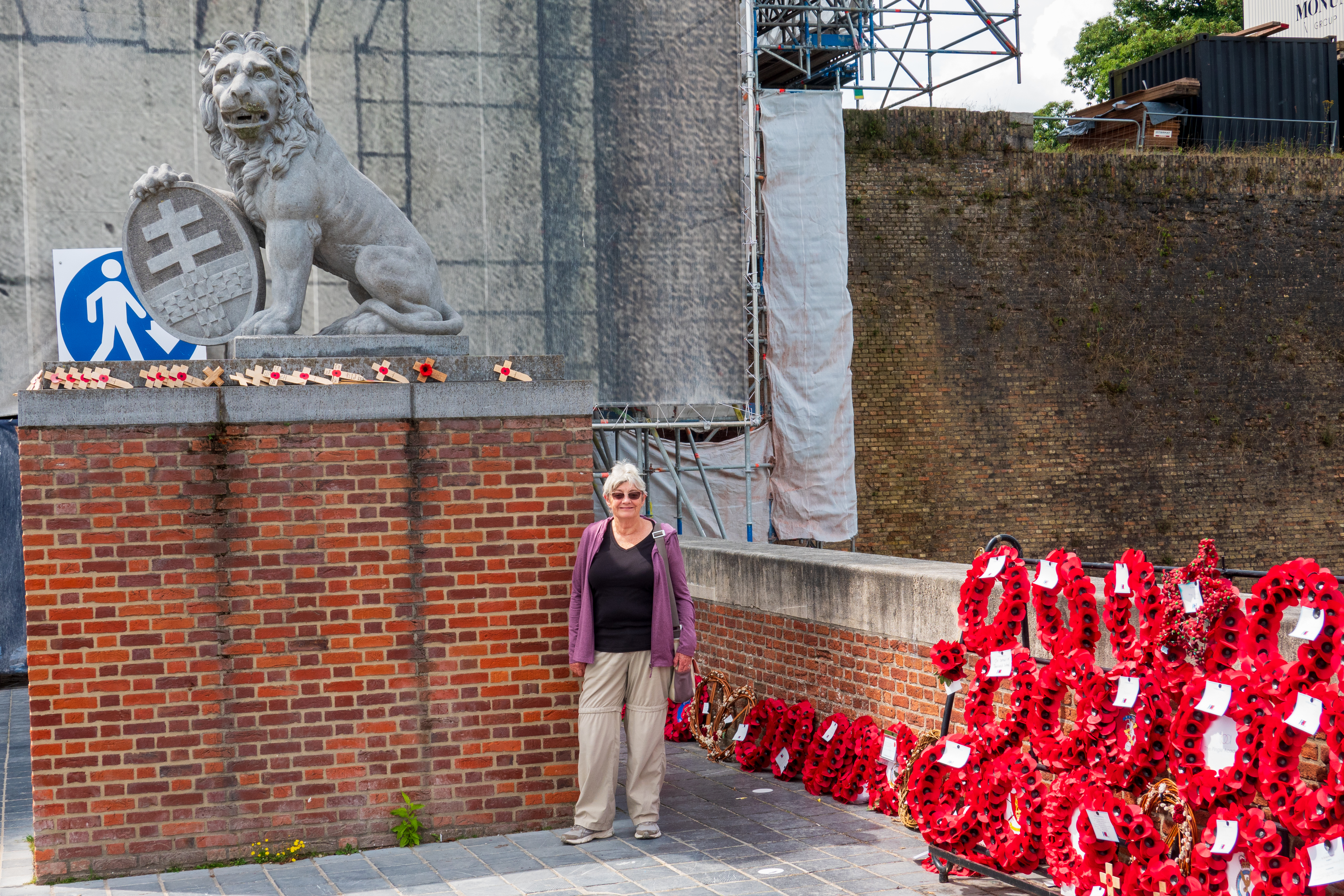
This photo is a map you can still use today. The Menin Gate is at the top center with Hellfire Corner beyond, out of the picture. Our campground was off to the top right. You can see the ruins of the towers in the central square. The Flanders Fields Museum (https://www.inflandersfields.be/en) is in the building at the center bottom. The Flanders Fields Museum is large and intense – it even has a section dedicated to all of the colonial troops, French and Commonwealth, who came to fight. There is a lion of India up in the memorial gardens on the city wall.


We attended the Last Post ceremony at the Menin Gate War Memorial. This takes place at 8:00 PM each evening. The Last Post is the British equivalent of Taps. The Belgian police have performed the ceremony every night since 1928, stopping only during the German occupation in World War Two. (https://www.cwgc.org/our-work/blog/the-history-of-the-last-post/) Our European brothers and sisters have never forgotten the Anglo-American sacrifices in the wars. The Menin Gate is currently under reconstruction but the Last Post on three bugles is still poignant – listen to the video below.


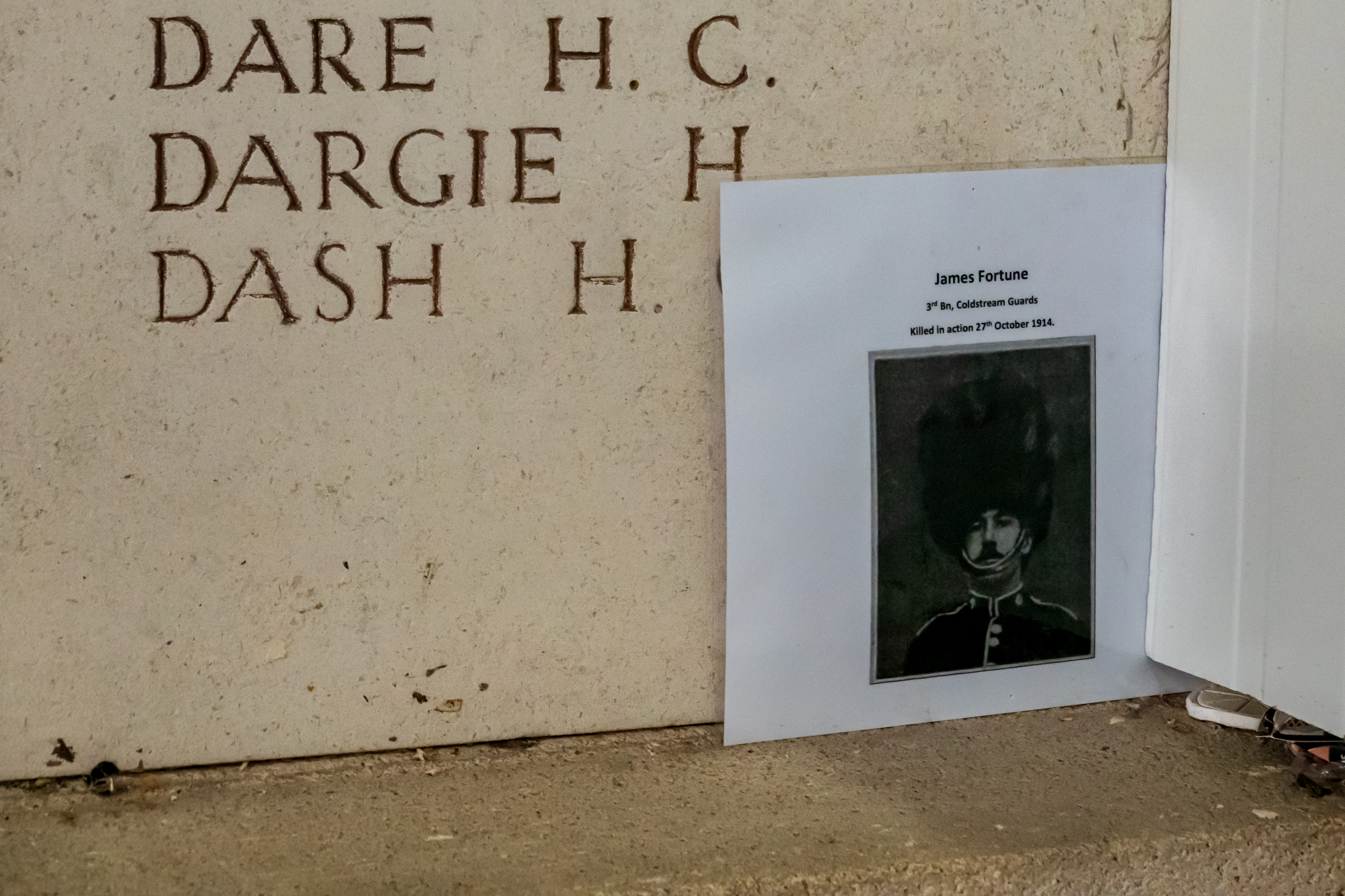
Then we took our bikes and set out to visit sites outside the city. Cultural difference – the United States makes an extreme effort to repatriate or at least consolidate remains. After the Great War, most of the bodies were buried in dozens of cemeteries scattered all around. Far too many for us to visit all, but each was remarkably well tended. (Some even had the odd German body as well.)

At a hotel, just out of town, you can still visit the remains of trenches and bunkers. One bunker was built by the British and then captured by the Germans, who promptly built a wall in front of it, as the entrance now faced the wrong way!


Just to the east and south of Ypres is Hill 60, the site of some insane fighting over the course of the entire war. (https://en.wikipedia.org/wiki/Hill_60_(Ypres)) With the help of a bunch of maps, we set out to visit. Our first stop was the Canadian memorial atop what is left of Hill 60.


Sadly, the museum in the Sanctuary Woods was closed, but once atop Hill 60 it was easy to see why it was so important; you could see all the way back to Ypres. The other side of the railway line was the Caterpillar, where you can still see traces of a mine crater. When all of the mines were fired, some 990,000 pounds of explosives went off. German casualties were estimated at 10,000 dead. Said to be the largest non-nuclear explosion, loudest man-made noise (heard in London), and any number of other grisly superlatives. Ominously, one of the mines only exploded in 1955, when struck by lightning and one is said to be completely lost. And, it gets worse – this area saw many successful (??) gas attacks.
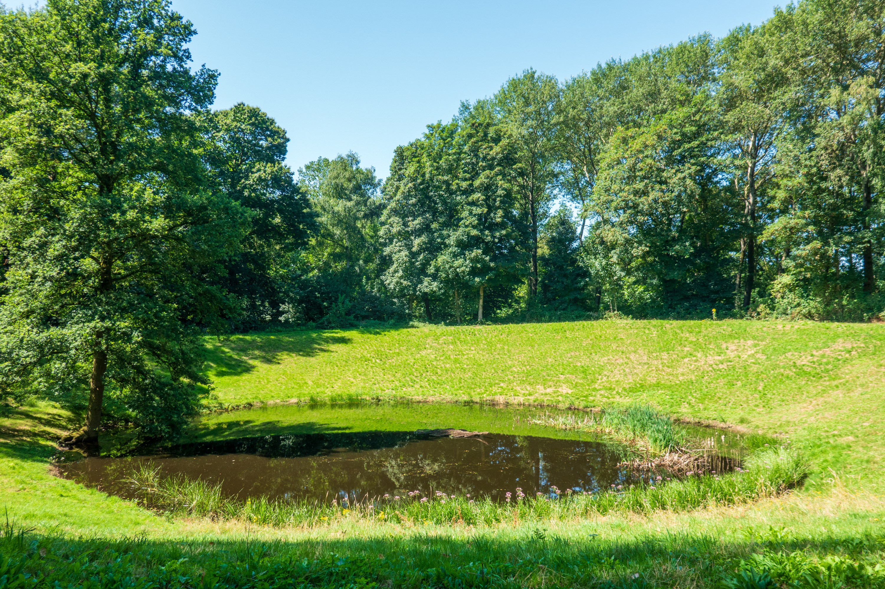
It is hard to believe that during the Great War there we absolutely no trees left standing for miles around. Today much of the area is preserved and the woods are full of the detritus of war and monuments to brave men and the stupidity of war.


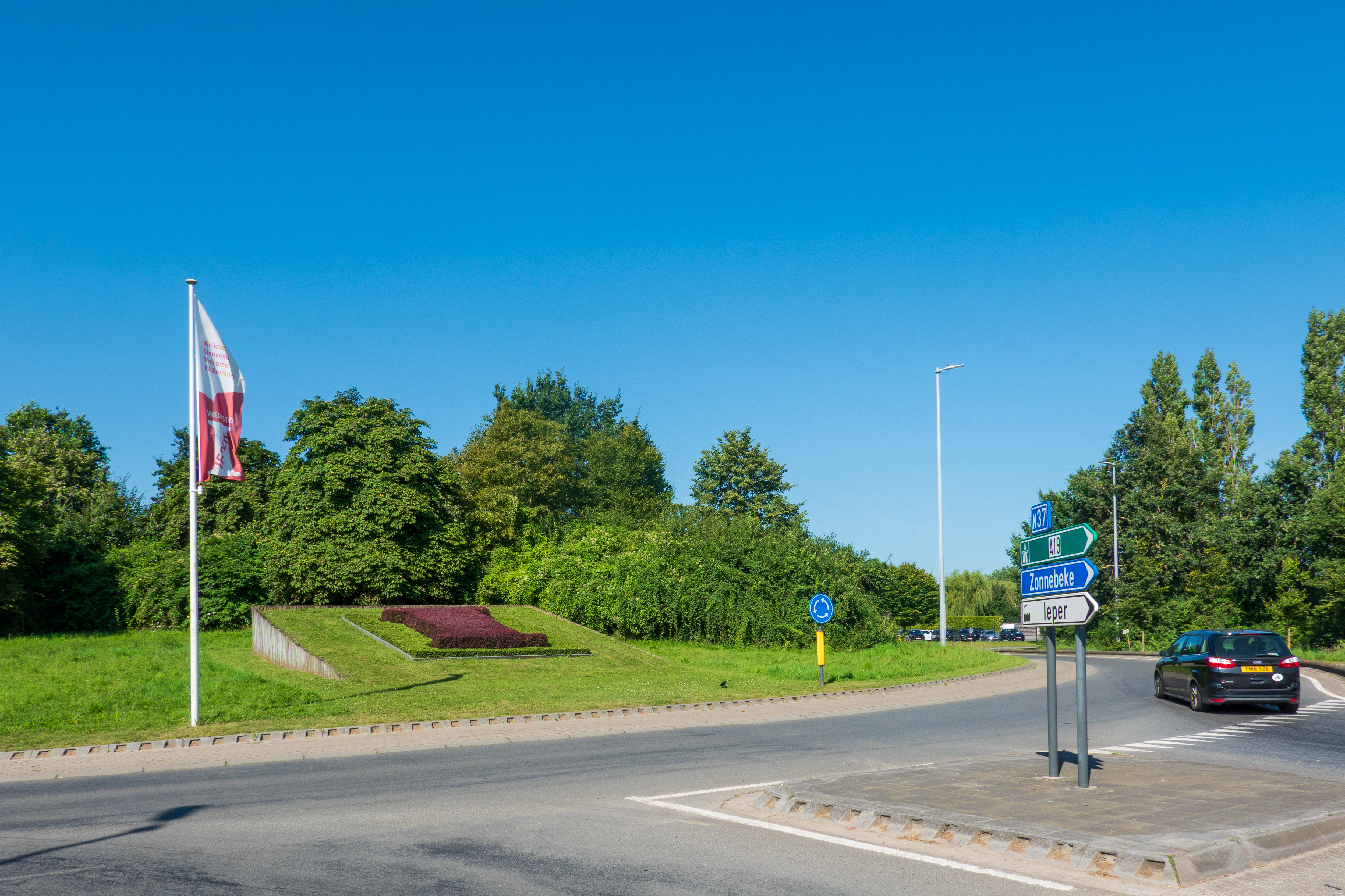
It was a great, if sobering ride, so we enjoyed this quixotic roundabout.

It was time to pack up and head for the Channel.
