Monthly Archives: August 2019

Idaho and Homewards!

Important new photo news. Through the magic of the new editor from WordPress, you can see the full size images simply by clicking on the image in the blog. Cool!

We had been notified that our new refrigerator was en route to the Turners in Nevada so we did rather shorten our planned time in southern Idaho.  It was time to get our new refrigerator installed and we had an invitation to attend a steak fry at the local Volunteer Fire Department in Wellington, NV.  How could we say “no”?

We had previously visited and admired the north of Idaho and its incredible scenery but as we entered Idaho from southwestern Montana we found the scenery totally different.

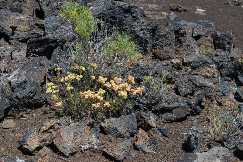
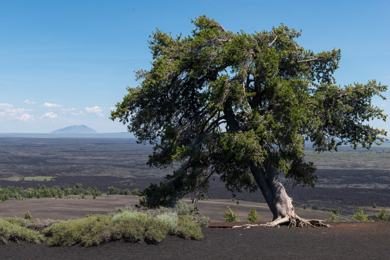
Our first stop was the Craters of the Moon National Monument and its totally lunar looking landscape.  We had heard that the campground filled up each day despite its bleakness and we made a point of getting there in time to get a space, before we set out on foot for the visitor center to orient ourselves. 

Not a lot of shade at noon.

Bleak, but the flowers were sprouting through.

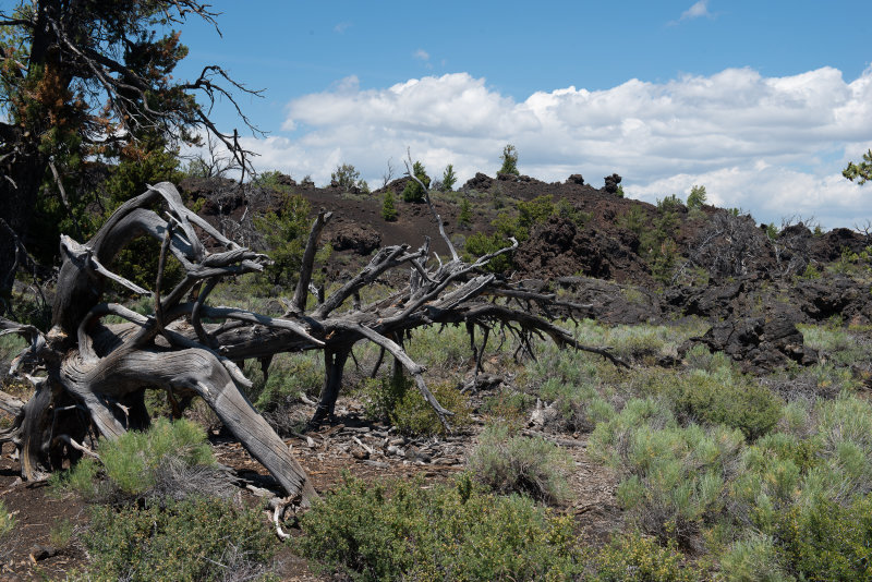
It was just as well that we walked from the campground as the parking was impossible for bigger vehicles.  Regular cars had taken all the RV spots.  (GRRRR!) After the usual movie, which we always enjoy, we set out to drive the loop with its various scenic view points.  We climbed the Inferno Cone, a large cinder cone.

It was almost like being at sea or in the air – there was nothing to give any perspective.
Top of the Inferno.
Beautiful, sparkling stone on the trail.
Looking down at the parking lot.
Ice! Down at the bottom of the vent. Amazing.
Panorama from the top of Inferno cone.

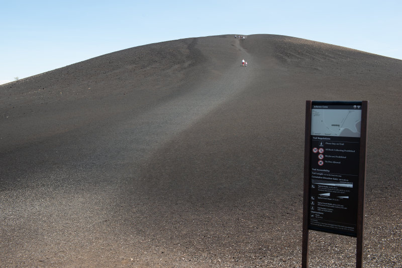
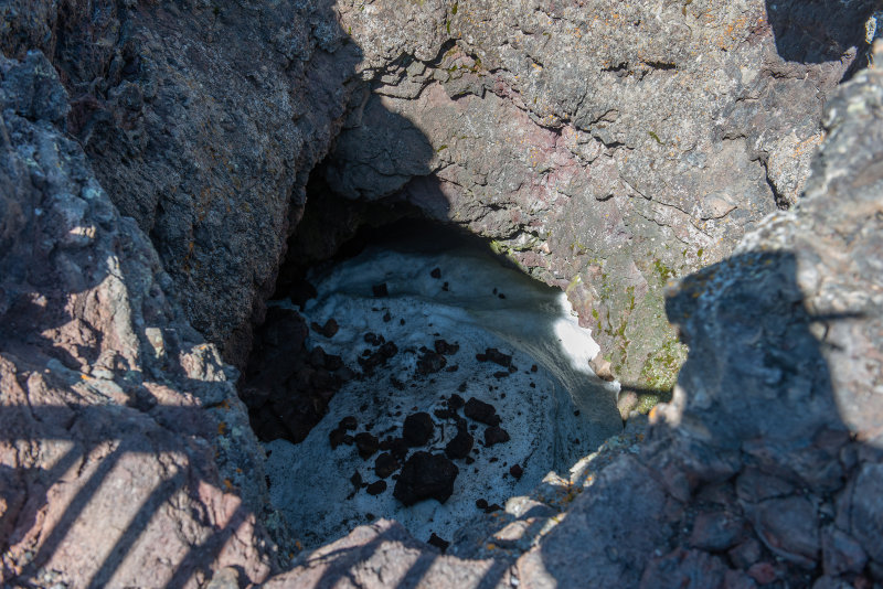
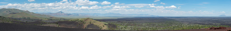
When you get to the top you keep expecting to find a crater – but there is none. The cinder cone was built up of cinders blown in from three little vents to the west. One of which now has ice in it. (See image, above.)

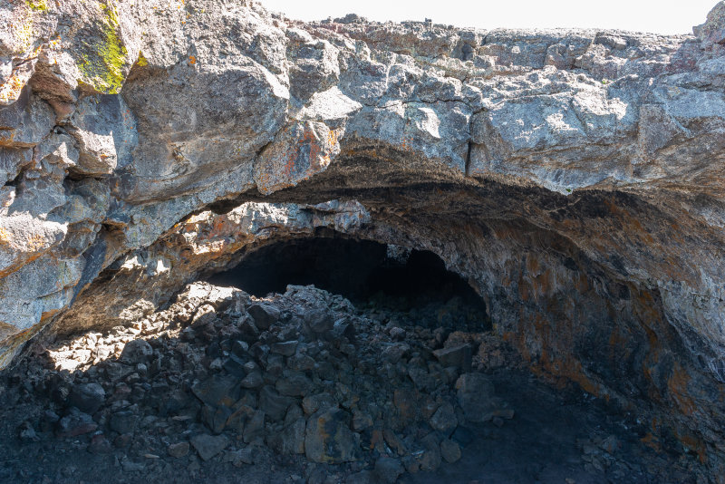
We hiked out to view the bigger lava tubes at Indian Tunnel, but did not enter any as we did not have a permit. 

Hmmm. Child sacrifice?
Hard to capture the size.

We continued south and decided we needed to visit at least one real waterfall before leaving the mountains, so we set off for the Soshone Falls near Twin Falls, Idaho.  On line research produced horror stories from drivers of long RV’s about the dangers of the narrow winding road to access the falls.  We had no problems, especially after driving in the Andes, and really enjoyed our visit.  The falls are controlled as needed for irrigation and other uses and can be quite dry, but they were flowing splendidly during our visit.

Falls
View downriver.
One of the few European campers that we saw this trip.
Denise at falls.

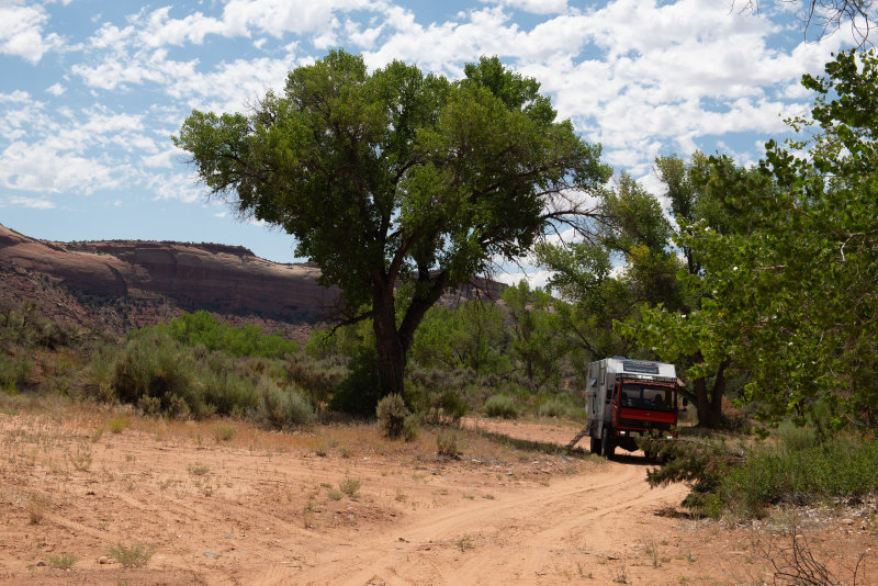
We then set off for Nevada as temperatures climbed.  We began looking for campgrounds that advertised shade and bringing the Blue Cat up front into the air-conditioned cab during the afternoon as the camper was just too hot for him.

Safely back in Nevada, the fridge installation was an interesting experience, as yet again, the skylight had to be removed for access. We used a neighbor’s hoist to remove the old fridge and install the new one. The Blue Cat was distraught when his camper left to go next door without him!  He ended up underneath Robinson Fuso, the Turners old camper, which he obviously felt was familiar territory! He came running when the 917 returned.

After another enjoyable stay, including the aforementioned steak dinner, we headed east on Route 50, again, this time on our way home.  We planned a leisurely wander, not a mad dash, and began with a visit to the Berlin-Ichthyosaur State Historic Park.  The wonderful book “Traveling America’s Loneliest Road” (https://www.amazon.com/Traveling-Americas-Loneliest-Road-Geologic/dp/1888035056) is full of intriguing side trips from Route 50 and this time we actually had the time to take some.

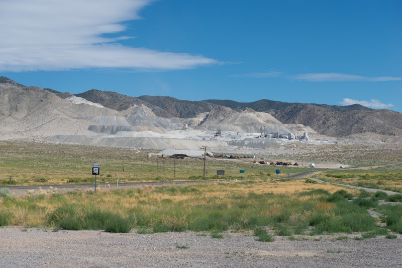
We turned down a side road until we came to a magnesia mining complex at Gabbs, Nevada. (https://www.premiermagnesia.com/)

Premier Magnesia Mine. Click for full size: https://pbase.com/diplostrat/image/169635497

From there we wound our way over the mountains and across the valley to the Berlin-Ichthyosaur park. (http://parks.nv.gov/parks/berlin-ichthyosaur)

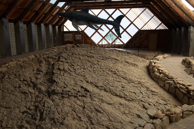
Denise really enjoyed seeing the ichthyosaur fossils on display.  The shelter had been built over where the bones had been discovered and showed them in the ground, as found, and not rearranged to make a complete skeleton. Over 40 skeletons had been discovered there but many were not in good condition or were incomplete.   

Denise and the one that got away.
You really have to look to see the fossils.
Inside the shelter.
Denise with fossils outside. A cover was planned, but never built. If you don’t know what to look for, you will never notice them.

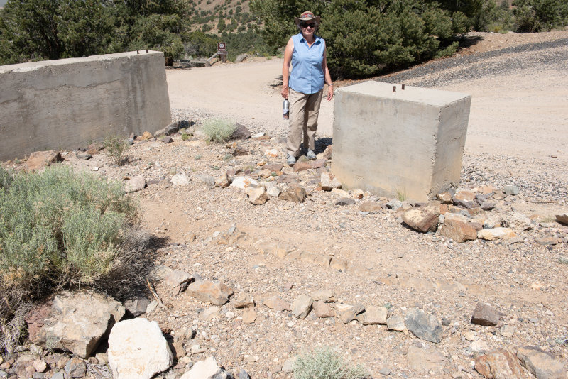
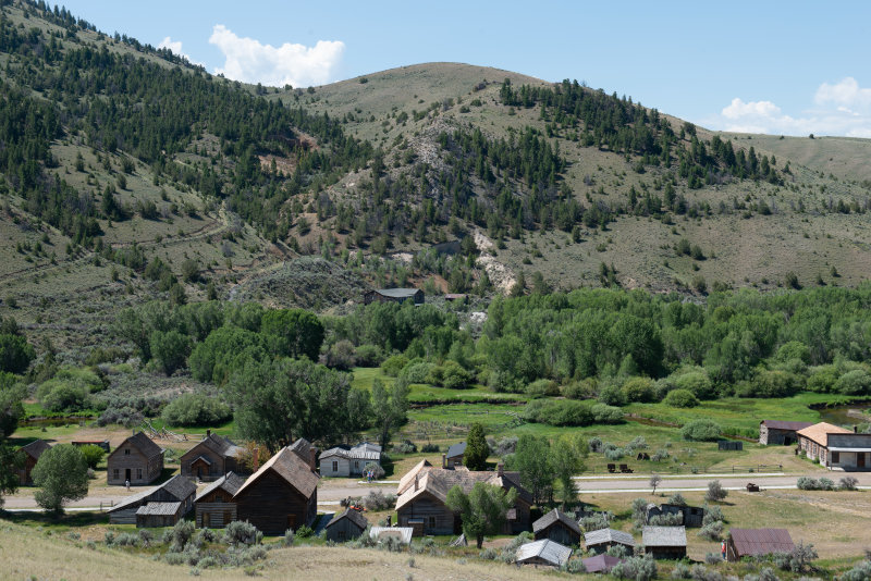
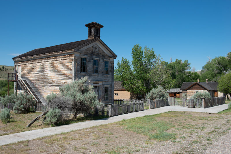
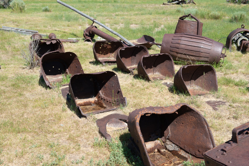
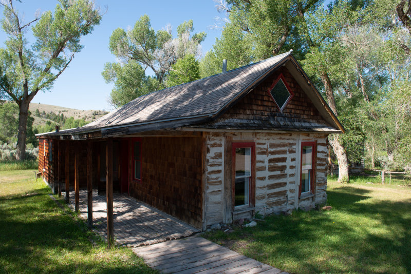
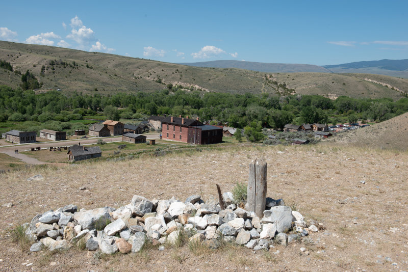
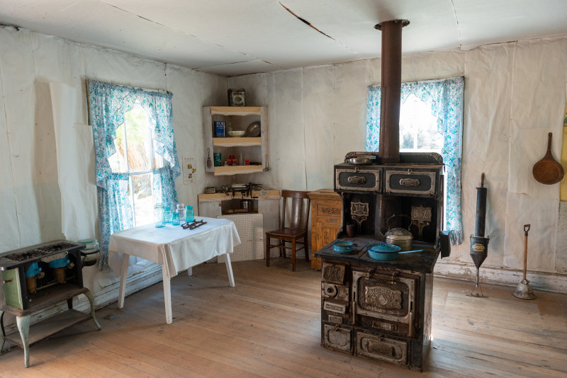
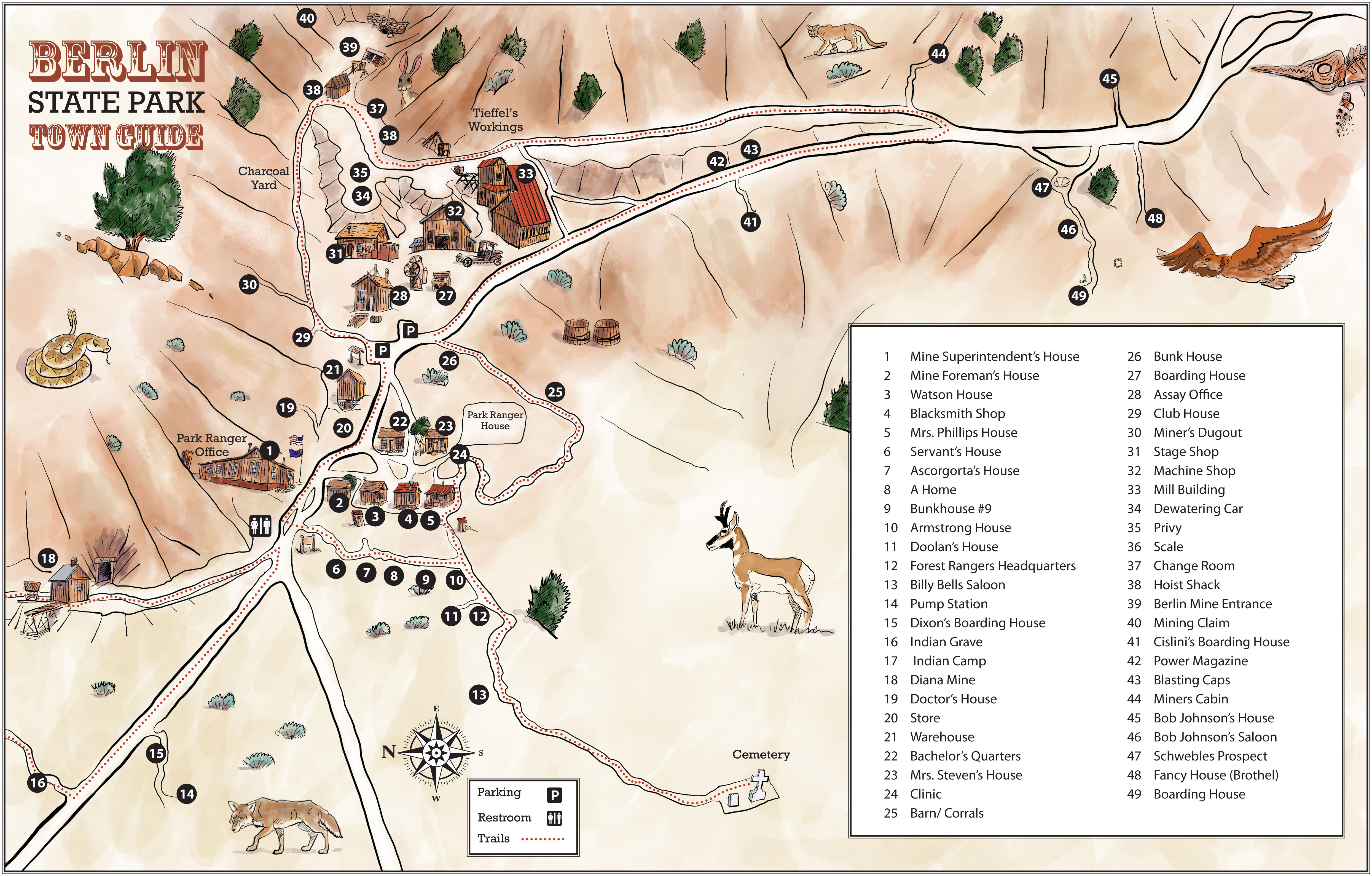
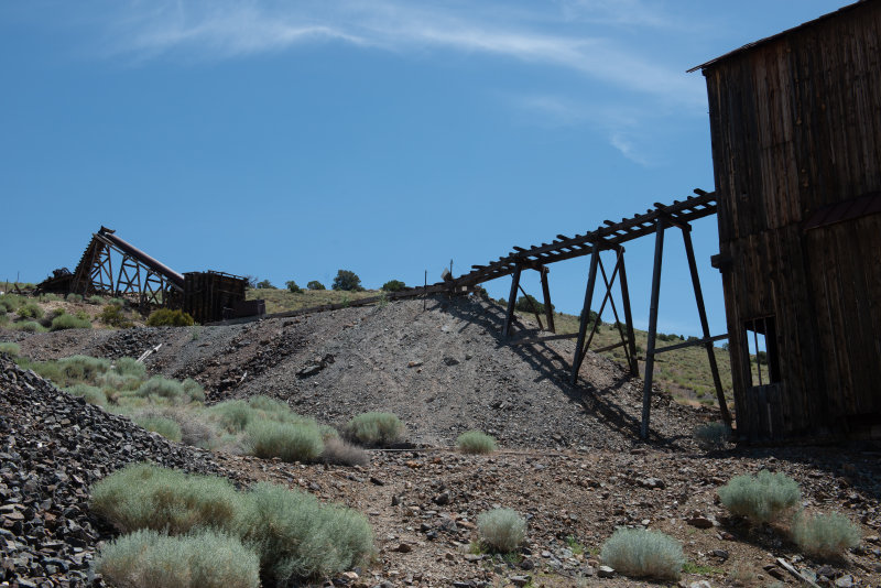
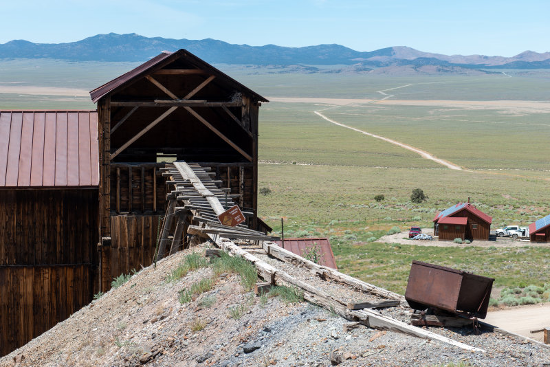
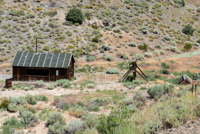
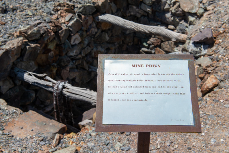
The site of the Berlin Mine ghost town is fascinating.

Lots of cool stuff to see.
Ore crusher.
Secondary ore chute leading to the main mill.
Inside the Mill.
We came across the mountains in the background and the valley in the foreground to reach Berlin.
The huge mill ore mill dominates the scene.
The main entrance to the mine was not very impressive, just an angled shed.
Tires are a bit flat.
We were grateful for the facilities in the 917.
Artistic massive beams.

We then headed to Ely for the required Chinese meal. May not meet purist standards, but we enjoyed it, as usual. We took on diesel and were starting to head out of town when we saw a sign for the Success Loop, a 30 mile off road loop which begins after the Cave Lake State Park near Ely and ends five miles north of the town of McGill on Route 93.  Hmmmm. Sounds like our kind of road!

The views were spectacular, especially as we approached the Success Summit, with the Schell Creek Range in the background. 

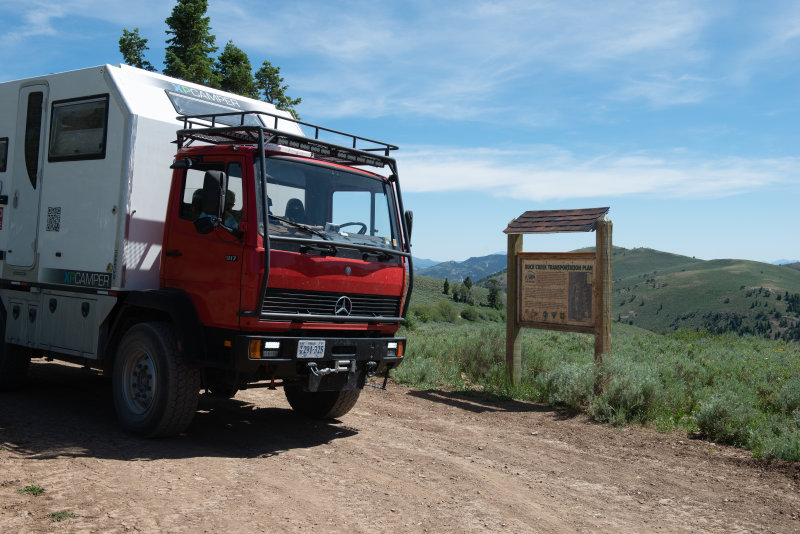
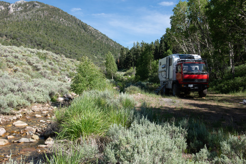
After passing a flock of sheep with their shepherd, we camped in the mountains, off of one of the side trails. The night was delightfully cool as we were at about 8,000 feet. 

The Blue Cat getting back to his wild roots and sampling a mountain stream!

We had now spent two months at between five and ten thousand feet and really noticed the heat as we dropped below that to return home.

The next morning, we dropped back into Ely for a cappuccino at the combination coffee and flower shop, then got back on Route 50 to take the Osceola trail and enjoy lunch at the top of the pass. A future camping site!

Hard to show the steepness in a photo.
That is US 50 down on the valley floor.
Wonderful future campsite, just over the pass from the Great Basin National Park.
Spectacular mountain after the Great Basin National Park.

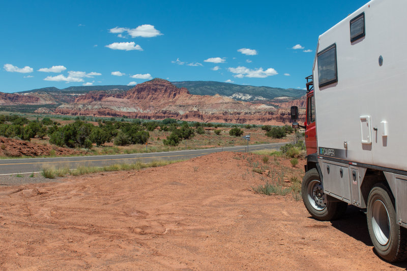
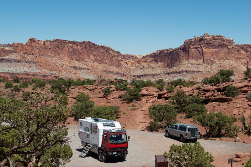
We flew past the Capitol Reef, but this time did not go up to the “Temples.”

Nearing the Capitol Reef.
From the Goosenecks towards the hills.
The “Goosenecks” at Capitol Reef.

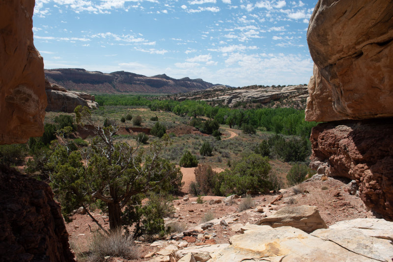
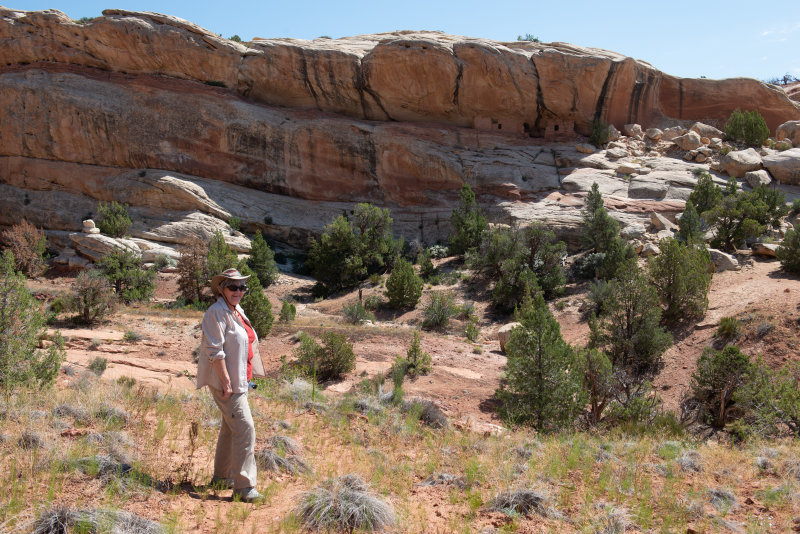
Denise wanted to see some ruins so we were planning to go to Cortez to the Hovenweep National Monument but after a night spent in the Natural Bridge National Park campsite, we got sidetracked by some ruins in Mule Canyon.  We were looking for a ruin known as the “House on Fire.” In actual fact, despite extensive internet research, we were not able to find them.  We finally followed one set of directions and hiked to find a couple of houses on a ledge with spectacular views but gave up on the rest! 

Not on “fire” perhaps, but spectacular.
We were getting quite good at finding water courses.
Denise admires the view.
The trails were narrow, but it was the trees that kept the 917 out.
And another view. Can you find the tiny building on the ledge?
Lunch in the shade.

With temperatures near 100F, we decided to leave Hovenweep for a future visit and continued east and stayed in Durango, at the campsite astride the Silverton railway line. Always fun to see the trains. (http://www.unitedcampgrounddurango.com/)

Fred was thrilled to drive the Wolf Creek Pass over the Rockies (he likes the song) and as usual the scenery was spectacular, though a lot less snowy than our previous crossing at the Monarch Pass. 

Me an’ Earl was haulin’ chickens, on a flatbed out of Wiggins, and we’d spent all night on the uphill side of thirty-seven miles of hell called Wolf Creek Pass. Which is up on the Great Divide.

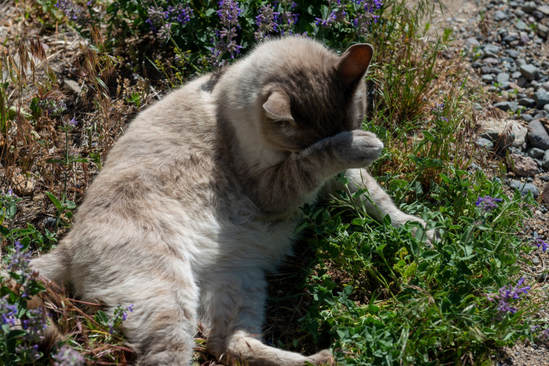
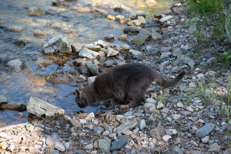
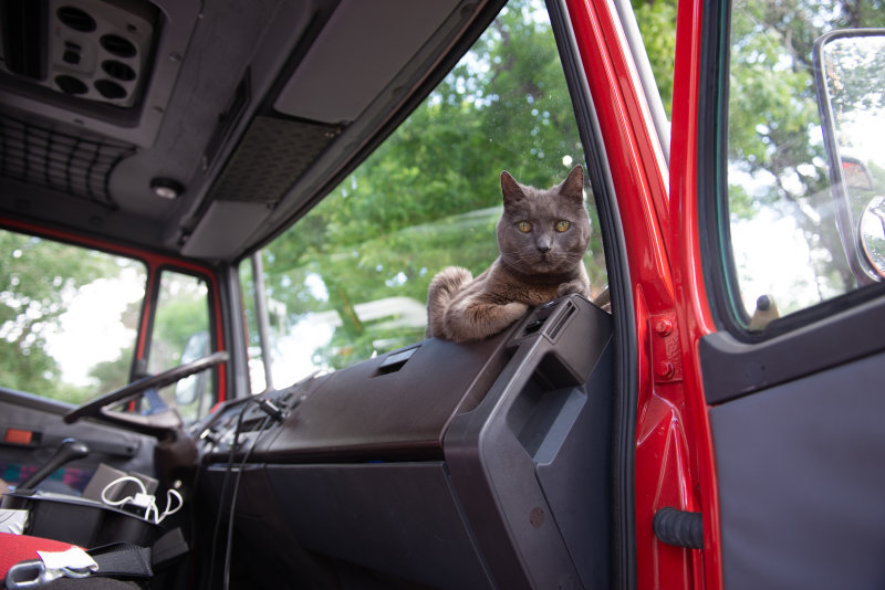
No chickens, just a cat.

We made a quick trip to Taos, New Mexico, hoping for Indian Fry Bread, but in vain.  However we did a little shopping and enjoyed some New Mexican food for lunch.  (http://taoseno.com/) Who knew that the gentleman running a jewelry store on the corner of the main tourist square would be a Palestinian from Jerusalem? Sadly, or fortunately, perhaps, we were not in the market for jewelry.

Sopaipillas may not be Navajo Fry Bread, but they are good.

We later discovered that friends from our days in Cuba are living in Santa Fe, and had we known, we would have kept going for a visit.  Next trip!

We camped at Raton Pass which Fred found interesting, especially as they were having visits from bears and were refusing to accept tent campers.  Blue was kept on his leash when outside!

The look you give when they tell you that you will have to stay on your leash.

The Appalachians were much less spectacular than the Rockies but we enjoyed our journey home through them.  It is good to be home again!

And On to Montana

Our first stop in Montana was at the site of the Battle of the Little Bighorn, where Custer was defeated by Indians from the Lakota Sioux, Cheyenne, and other tribes.  We, of course, arrived at Saturday noon along with lots of other people but we were able to find a parking space tucked in with the other RV’s. So we had lunch and then set out to walk to the Memorial at the site of Custer’s final stand. 

We also walked to the Indian Memorial, a modern and moving site with comments from all the different tribes and a spectacular sculpture. It is hard to imagine a more evocative image.

It was interesting to see the white remembrance stones dotted around the hillsides.  These represented the Cavalry dead.  Interesting information, more than half of the 7th Cavalry troops were foreign born, representing about thirty nations.

The Indian dead were represented by brown remembrance stones. There are not many of these as the victorious Sioux and others removed their dead and wounded from the field immediately. We drove from the site of the final stand to the Reno/Benteen defensive site and dutifully read all the signs along the road.

Note: From this point we are using a new image hosting system. If there is a link below an image you may click it to see the image in a range of different sizes.

The paintings, which matched the actual landscape, made it very easy to imagine the scene. The effect was all the more dramatic as we were there on June 29 and the battle took place on June 25, so even the yellow flowers are correct.
https://pbase.com/diplostrat/image/169600293

Books have been written about the battle, but Fred would opine that Custer was not quite the vainglorious idiot as portrayed in modern movies. That said, he made a huge mistake and it cost him his life and half of his command. He was worried that the Sioux would try to escape – he didn’t realize that they had the strength to actually attack.

His deputies took casualties, but, after getting caught in the open against superior forces, they actually managed to do it by the book and retreated to high ground where they held off repeated attacks for over a day. In the zeal to portray Custer as a hero, back in the day, Reno had his career ended. Read the Wikipedia here: https://en.wikipedia.org/wiki/Battle_of_the_Little_Bighorn#Controversies

Our next stop was Great Falls where we discovered and stayed in an amazing KOA campsite.  The incredible landscaping made this the Taj Mahal of KOA’s. We had a pleasant shady spot and enjoyed a campground fireworks display in honor of Canada Day!  Adding in free pancakes for breakfast and a great ice-cream bar, we decided to stay a second night as the day’s adventures had lasted longer than expected!  Though fireworks were lacking the second night! https://koa.com/campgrounds/great-falls/

Our first visit in Great Falls was to the Lewis and Clark Interpretive Center and we enjoyed it very much.  The Interpretive Center is located on the Missouri River and there is a delightful river walk and some pioneer activities taking place there.  We walked down along the River Walk to see the Giant Spring, one of the largest springs that Lewis and Clark documented on their trip. The whole complex is well worth a visit.  (https://www.visitmt.com/listings/general/museum/lewis-and-clark-national-historic-trail-interpretive-center.html) Inside the center, the displays follow the rivers taken by the group and their timeline, so we progressed through their journey, learning of their successes and challenges.  And, of course, there was a film, this time by Ken Burns, which was well worth watching.  Because of waterfalls they actually had to portage their canoes 18 miles around five large waterfalls, so it was easy to look at the area and imagine their problems. 

Our other visit in Great Falls was to the Malstrom Air Force Base to visit the Museum there.  (https://www.malmstrom.af.mil/About-Us/Malmstrom-Museum/) Once we were cleared to visit by the Visitor Center, we made our way to the museum passing by a selection of planes on display.  The museum itself was fascinating.  It explained the mission of the base which was to maintain and keep in constant readiness a number of Minuteman missiles.  Two excellent films explained how this was achieved.  There were also examples of various pieces of missile and control consoles.  The Museum Director was an enthusiastic source of lots of information. And we learned that we had actually seen the relocation of a missile on previous day’s drive towards Great Falls; we had thought it was simply the National Guard. Interesting aside, the museum had a map of the route that Lewis and Clarke took across what is now the air base. (Sorry, no pictures taken on base.)

While everybody knows about the mighty Mississippi River and can probably even remember how to spell it, the Missouri is a bit overlooked. Pity, because it is a huge river, a major tributary of the Mississippi, and, of course, the focus of Jefferson’s dreams of a river route to the Pacific Ocean. As lamented previously, the Lewis and Clarke Expedition is too little taught in US schools. We have joyed retracing the routes in this and previous trips – freely admitting, that we started doing this after stumbling over Lewis and Clarke sites in our own, total ignorance. Upriver from Great Falls, the Missouri passes through an impressive valley, dubbed the “Gates of the Mountains” by Clarke. So naturally, we had to pay a visit. It was pouring rain when we arrived and boarded the boat, but over the course of the visit, the sun came out and, by the time we finished, the boat was in full sunlight.

The tour actually starts upriver, goes downriver, and then returns. But Clarke was coming from the portage at Great Falls, so his first view was of the “Gates” themselves.

The “Gate” as seen looking upriver.
https://pbase.com/diplostrat/image/169600305

From Great Falls we moved on to Deer Lodge.  July 4 was approaching and we decided we wanted to be in a small town to see a celebration.  Denise also wanted to visit the National Park Service Grant-Kohrs Ranch Historical Site in Deer Lodge.  (https://www.nps.gov/grko/index.htm) This site preserves the ranch, founded by Johnny Grant and then bought by Conrad Kohrs, one of the great cattle barons of the 1800’s.  The ranch originally grew when Grant, who spoke only French and a number of Indian languages, had the brilliant idea of exchanging worn out, stressed cattle from the wagon trains for his well fed, thriving animals.  He exchanged one of his for two of the others.  Needless to say, his herds grew as he fattened up the new cattle and then traded them for even more cattle.

The first view of the house is a simple frame building.
But walk around back and it is a huge edifice.

Conrad Kohrs was a German immigrant and we were fascinated by his very decorated Victorian house, not at all what we expected from a frontier home.  It could have been a historical site in Boston or New York. Sadly, such is the fear of people not being able to shut off their flashes, that no photography is allowed inside the house.

The ranch is still functioning and gives wonderful insights into the history of and current methods of ranching, explaining how the bad winter of 1868 changed cattle ranching.  The tremendous loss of animals after a summer drought and vicious winter, led to the realization that winter feed was needed to maintain the herds.

We enjoyed cowboy coffee from the chuck wagon and we chatted to a guitarist/luthier (!) from Pennsylvania who was singing original cowboy songs. 

Coffee fix at the chuck wagon.
Memories of how we used to cook when camping in Botswana.
Like many National Park Service sites, the ranch featured active displays, like the blacksmith’s shop.
https://pbase.com/diplostrat/image/169600296
The ranch extended all the way to the mountains – simply huge.
https://pbase.com/diplostrat/image/169600299
Official National Park Service cat – bored with tourists.
https://pbase.com/diplostrat/image/169600300

It was very pleasant visit.

The July 4 celebration in town took place inside the Old Prison compound and took the form of a pig roast and pot luck.  We were somewhat amazed that a town could be small enough to hold a pot luck that everyone could attend!  We dutifully stopped at the supermarket in town and purchased makings for a pasta salad for our pot luck contribution.  As we are still using the ARB electric cooler, we were unable to refrigerate anything large.  Armed with the salad and insect repellent against the vicious mosquitoes, we set off for the celebration.  It was fun, there was live music for the first part and then we ate dinner. 

No, they didn’t play Folsom Prison Blues!
With the second set, folks were dancing.
Enough for the whole town. Literally.

The pig was excellent!  By this point we were cold,  so we retired to the camper for a coffee and some warmth before returning for the fireworks.  When it is still light at 10.15 PM, showing fireworks gets very late!  But the firework display was fantastic.  It lasted about 20 minutes and was even more amazing as it was one of at least four displays, all at the same time.

As we had received notification that our new fridge was being delivered, we began heading south back to Nevada.  We did make a couple of stops en route.  The first was to Bannack State Park.  We had originally stopped at Nevada City, hoping to ride the Alder Gulch narrow gauge railway to Virginia City.  We discovered it was not running on the day we arrived and Nevada City, a rebuilt town, looked rather like a tourist trap.  So the authentic ghost town at Bannack State Park looked more like something we would enjoy, plus there was a campsite there.  (http://bannack.org) So, off we went. 

The campsite was lovely and we ended up staying two nights.  We walked over to the “town” and had a most interesting and enjoyable visit.  We purchased the information and self guided tour book for $2.00 which proved to be most worthwhile.  It contained lots of information about life in the mining town and how hard it was.

Looking over the town towards the river and the hillside where most of the gold was found. Most of the gold was placer gold, dredged out of the river.

https://pbase.com/diplostrat/image/169604544
School/Masonic Lodge
https://pbase.com/diplostrat/image/169604537
Mining gear – dredge buckets, torpedo hoist buckets, and hydraulic cannons/nozzles.
https://pbase.com/diplostrat/image/169604541
One of the first houses built, expanded and used well into the twentieth century.
https://pbase.com/diplostrat/image/169604535
Beautiful stairway from hotel lobby.
https://pbase.com/diplostrat/image/169604545
Grave above the town. Mining took its toll.
https://pbase.com/diplostrat/image/169604543
Some of the houses looked as if people had just stepped out for a moment.
https://pbase.com/diplostrat/image/169604536

And then we headed for Idaho.