Monthly Archives: June 2015

Tiger Rally and Rolling Home

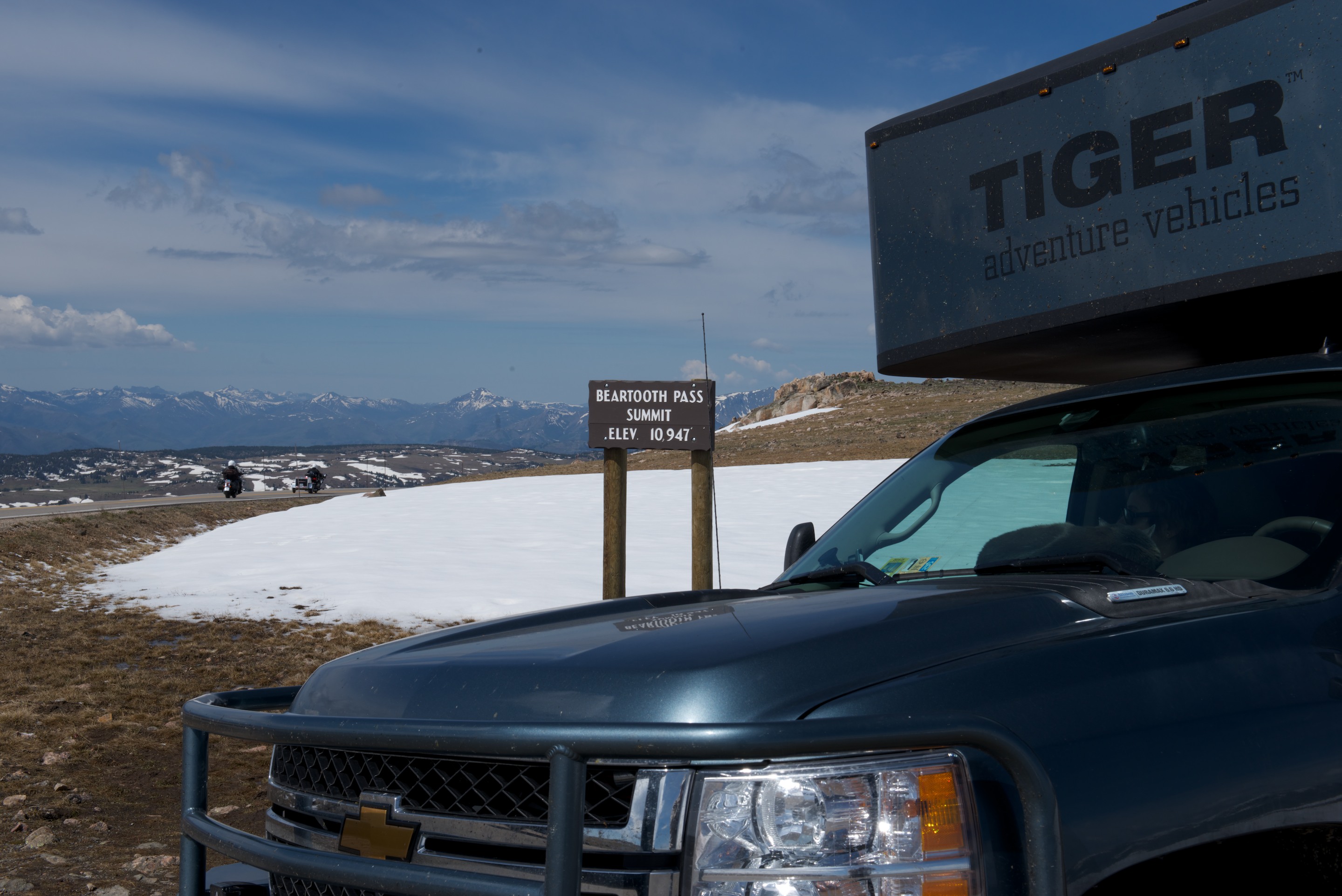
And on to the Tiger Rally.  We had very much enjoyed our visit to Tiger Rally 2014 but had not expected to be able to attend 2015.  But this year, the rally was held later in June and we found ourselves in the area and thinking of starting the trek back east.  So, it made sense to stop off and visit with Tiger owning friends.  We did arrive a little late and drove in to the Camp Hale Group area on Friday night about 7.30 P.M. just as everyone was enjoying the campfire and meeting circle.  We found a spot to camp, inhaled some dinner and joined in, just in time to introduce ourselves.

Rally 2015

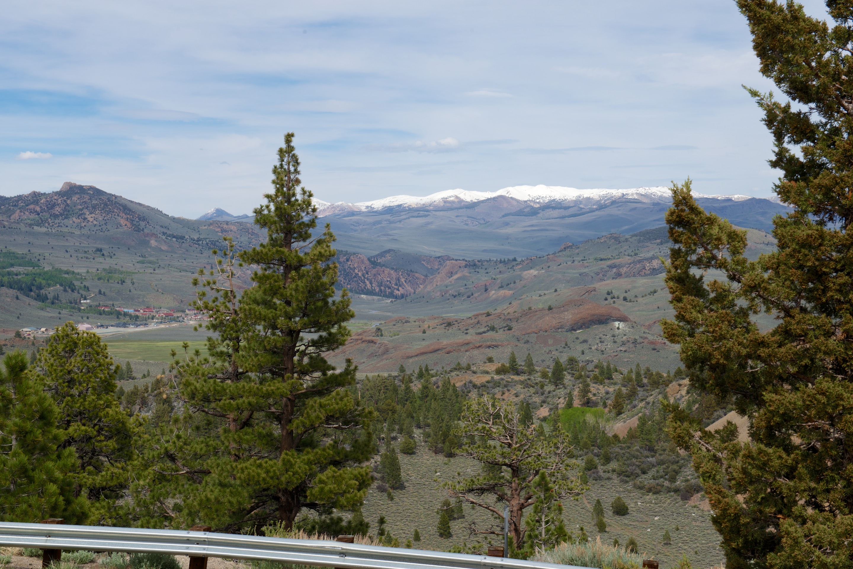
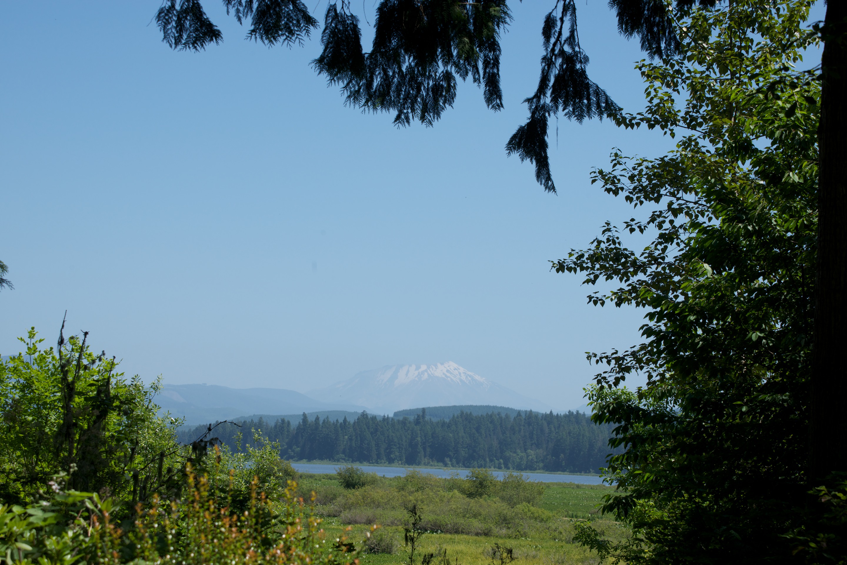
The campsite was at 10,500 feet and was very pleasant with lovely views all around.

Rally 2015 (1)

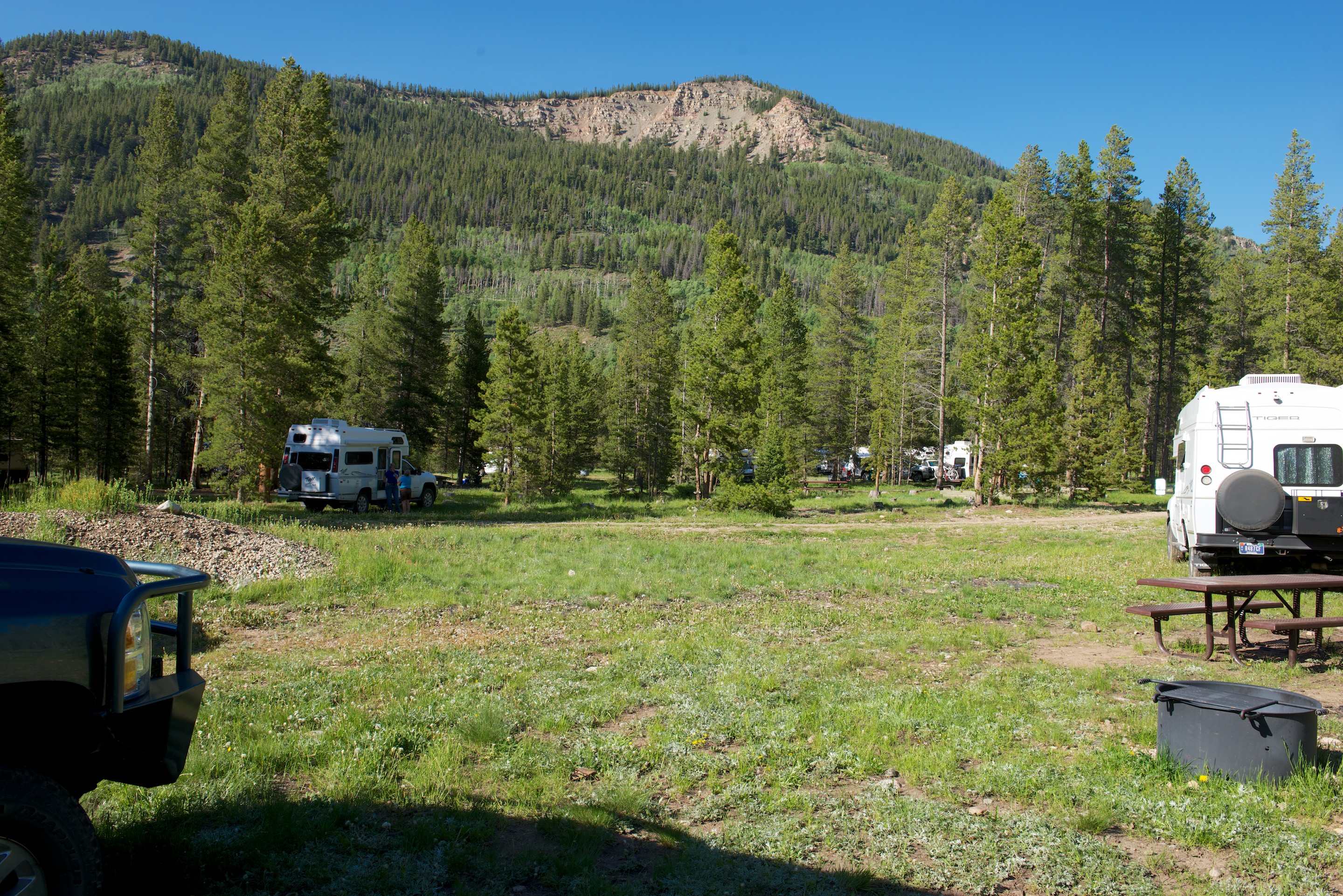
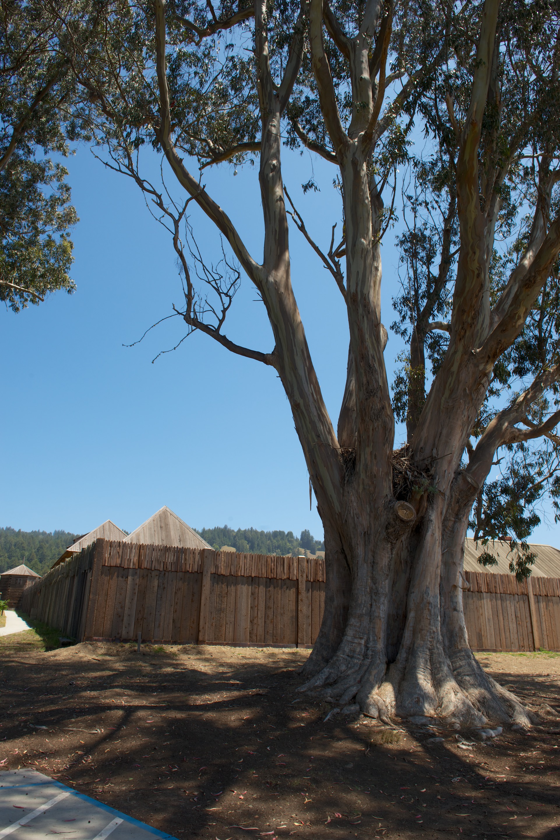
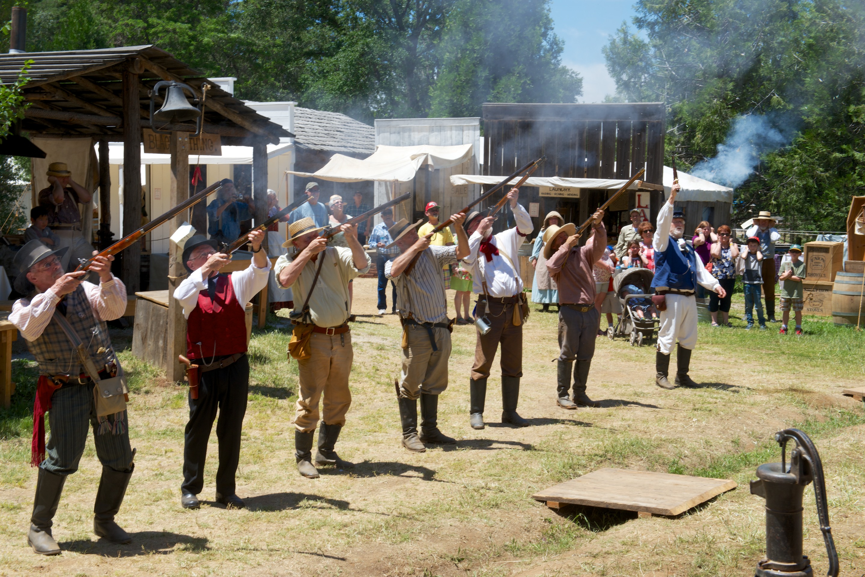
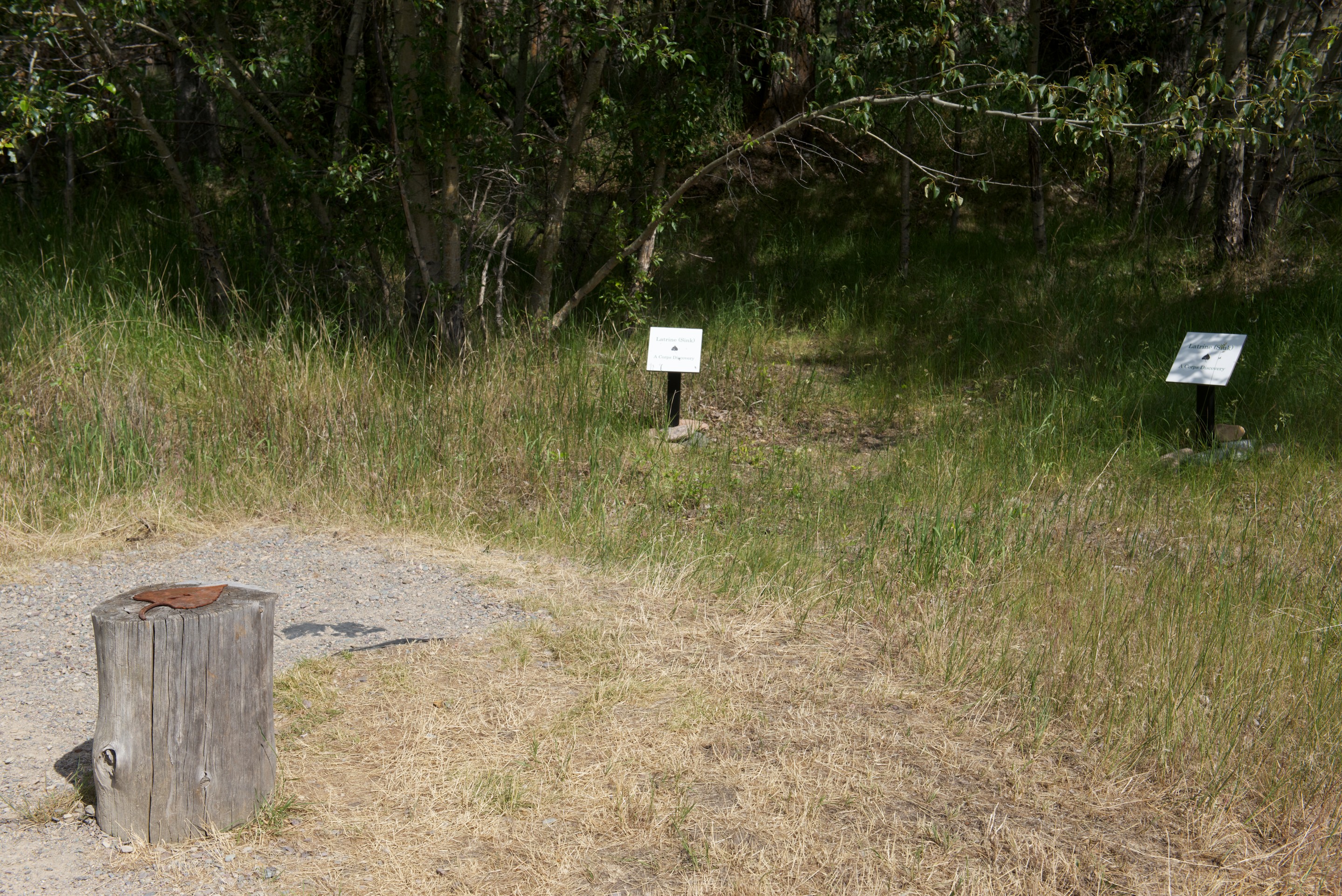
It was an old army base, used for training the 10th Mountain Division during World War II, so not a good spot to pick up odd metal objects! We did not take many photos, but, courtesy of Tiger owner “knine” here is a nice photo montage: Tiger Rally 2015

A steady stream of people came to see Ndeke Luka during the “Visiting Hours” and we, in turn,  enjoyed seeing a new 2015 Bengal amongst others. Many owners of older Tigers are interested in some of the special systems on Ndeke Luka and so Fred participated in group discussions of camper electrical systems and cell phone boosters. More improbably, he gave a demonstration of how to dump a composting toilet. This was a bit of a riot, drawing quite a crowd of interested, if initially distant, people. Once people realized that they were not going to be gassed, they crowded around and into the camper. (The composting toilet in Ndeke Luka is sold by http://natureshead.net ) Note to “normal” people; there are certain subjects that are of huge importance to people with campers.

We stopped in Leadville after the rally to have some coffee, find a dump site and buy diesel.  The coffee came from the City on a Hill Coffee Shop (http://www.cityonahillcoffee.com), an excellent spot we discovered last year, the dump site and also water from the city, and the diesel from a station down the street. We had enjoyed our stay in Leadville last year and were reminded again this year that it is a very pleasant place, if a little bit high at 10,200 feet.  But one gets used to it and it reminded us of our years in La Paz, Bolivia at even higher altitudes.  We  kept  bumping into Tony and Tracey. (https://gohomer123.wordpress.com/author/gohomer123/) First we found them in the coffee shop, and then they joined us as we ate lunch on the main street (decent food but slow service). They are some of our favorite Tiger owners as so many of the good ideas in our Tiger were lifted from theirs! (And they like bicycles.)

We were heading to Louisville, CO (just north of Boulder) to visit more friends from Monrovia, Liberia so we headed out about 2.00 P.M. and headed north. Louisville, and Boulder, turned out to be lovely towns with lots of character, wonderful restaurants and all too attractive gift shops. We were taken out of town to a wonderful restaurant for a great breakfast at the Chautauqua Community House (https://www.chautauqua.com), a wonderful mountain retreat, full of flowers.  We followed this with a memorable dinner at the Boulder Dushanbe Teahouse, part of the same group and a restaurant with such a wild pedigree that you simply must read the following link:  http://www.boulderteahouse.com

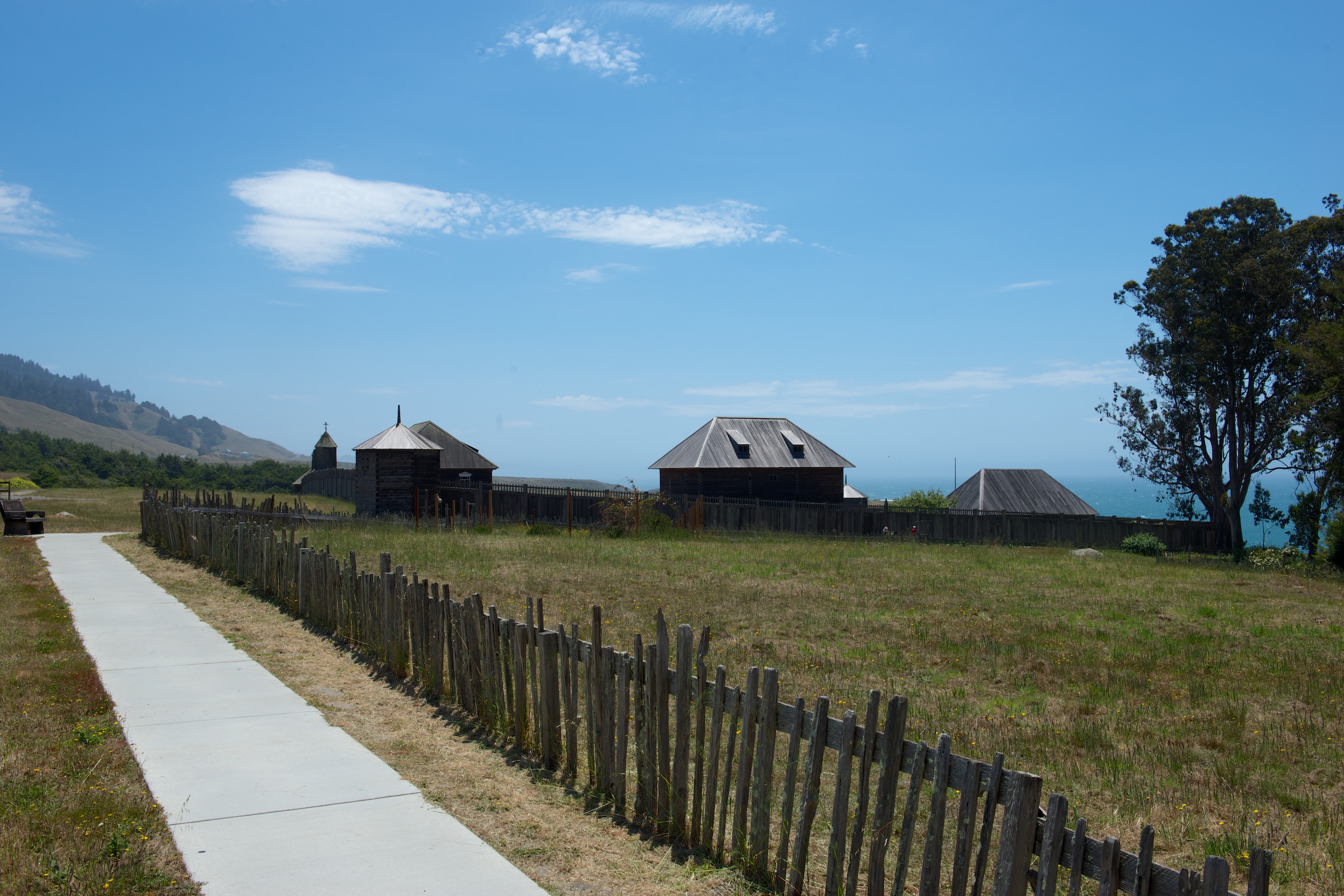
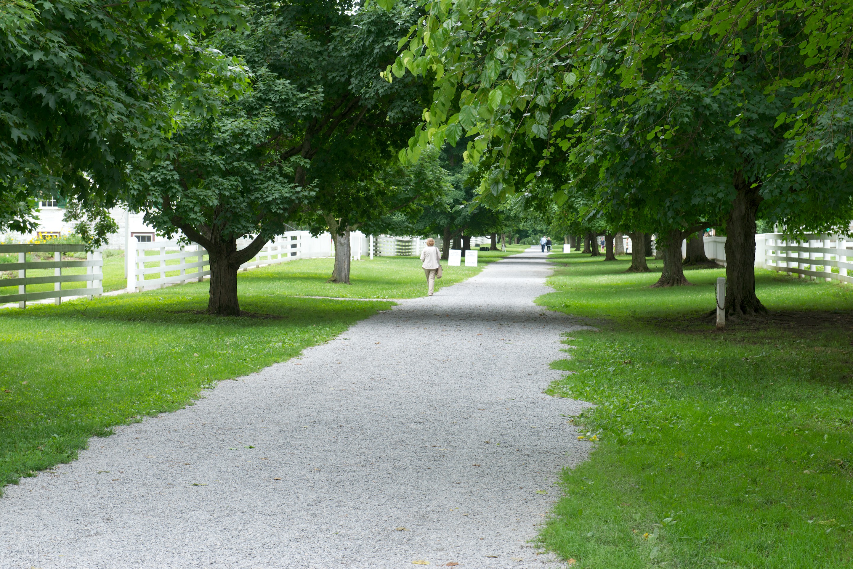
From Colorado, we worked our way east to Kentucky, stopping off at the Shaker Village of Pleasant Hill. (http://shakervillageky.org) Another real gem; think of a smaller Williamsburg or Olde Sturbridge Village. A few hours in Pleasant Hill will have you researching the history of the “Shaker” movement and the role of Kentucky in the American Civil War.

Until very recently, U.S. Highway 68 ran right through the center of the village.

_ND84614

The Shakers lived communally in “family” farms. This beautifully constructed building was home to the Center Family. The entire village reminds one of nothing so much as a New England prep school.

_ND84615

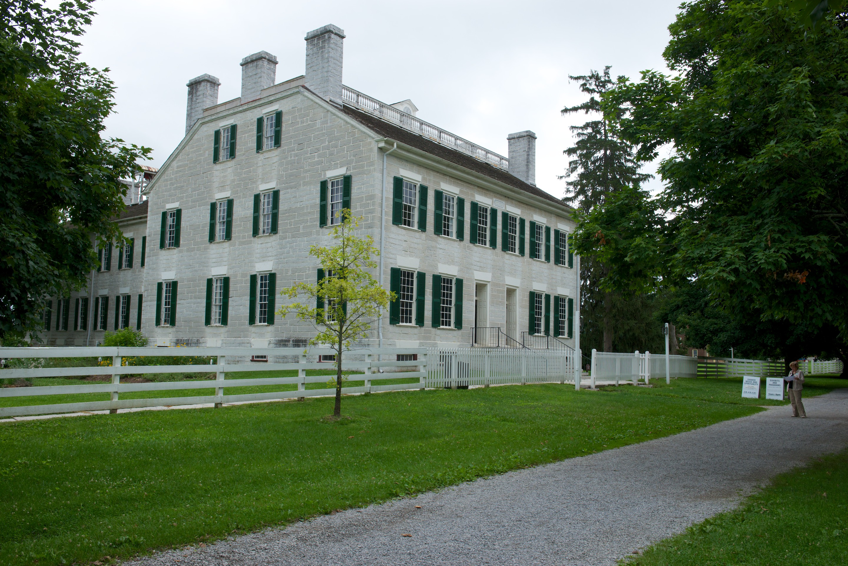
Shaker architecture is noted for clean lines and symmetry.

_ND84624

Note the natural light from a skylight.

_ND84626

_ND84620

While many utopian groups, like the Amish celebrate simplicity and “no tech”, the Shakers celebrated simplicity and high tech. The fare may have been simple, but the oven was state of the art.

_ND84616

Peasant Hill also had running water from a “water house” to which water was pumped before being gravity fed to other buildings.

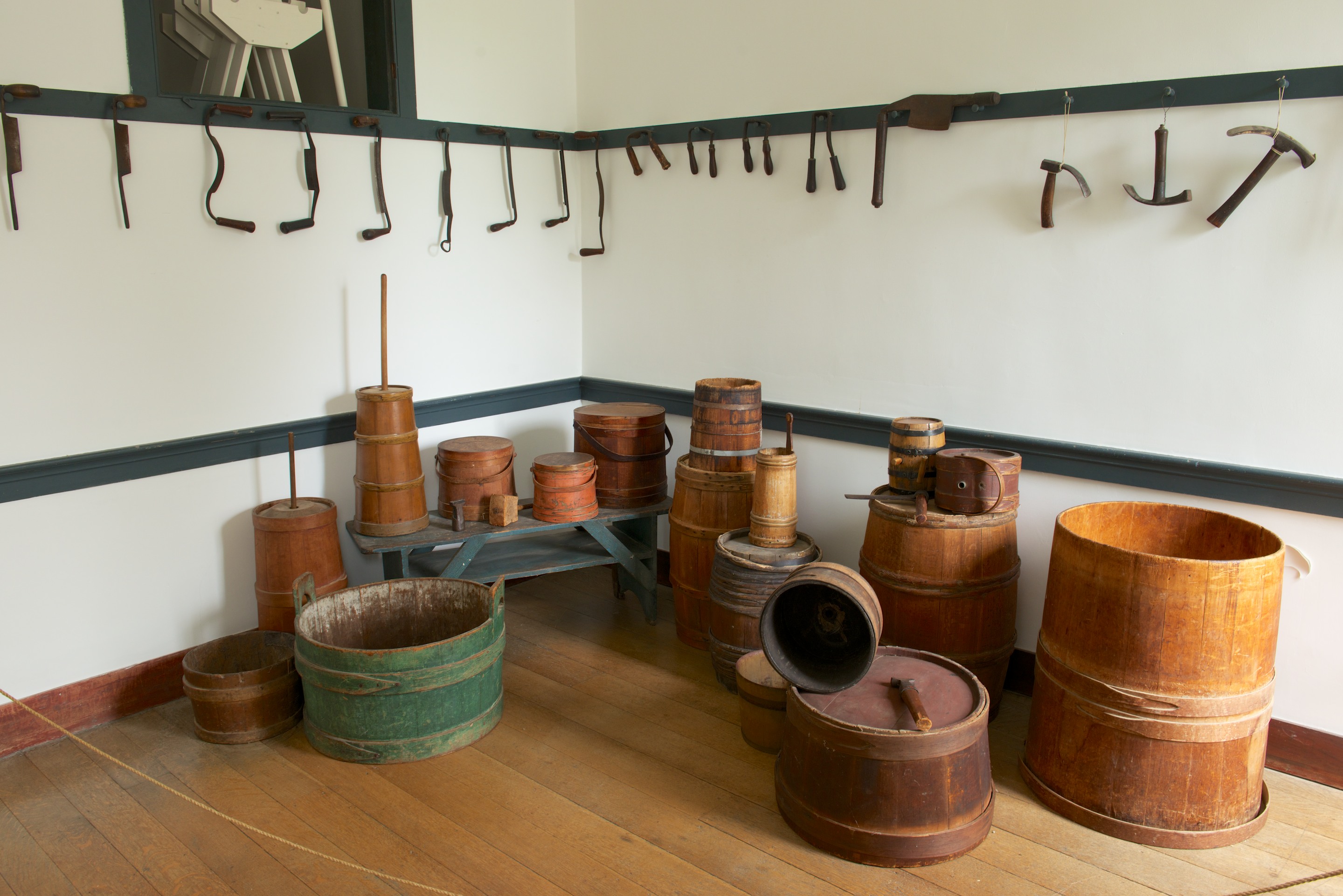
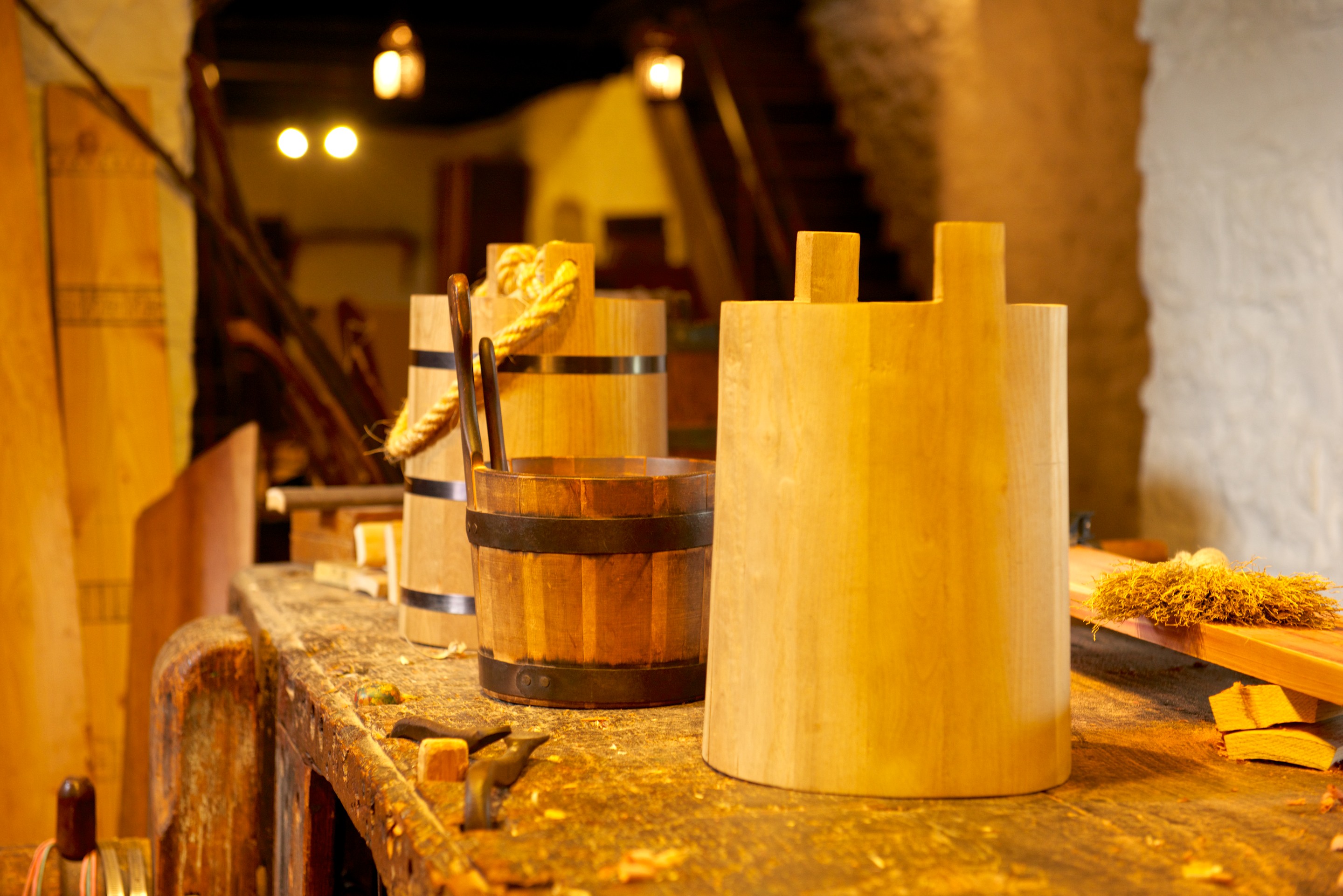
The shakers were also masters of various crafts, such a coopering or barrel making.

_ND84621   _ND84628

Shaker prayer services were nothing if not “athletic”, hence the name. Couple this with the need to place the men on one side and the women on the other and you end up with an enormous, open room. (As sexual equality was a major tenet, note that both sides need to be equal.) Now look for the columns to hold up the two additional stories above. They are hard to see as there aren’t any. The entire building is internally reinforced from the trusses in the attic, simply amazing engineering and construction, none of which is noticeable until you visit the attic._ND84631

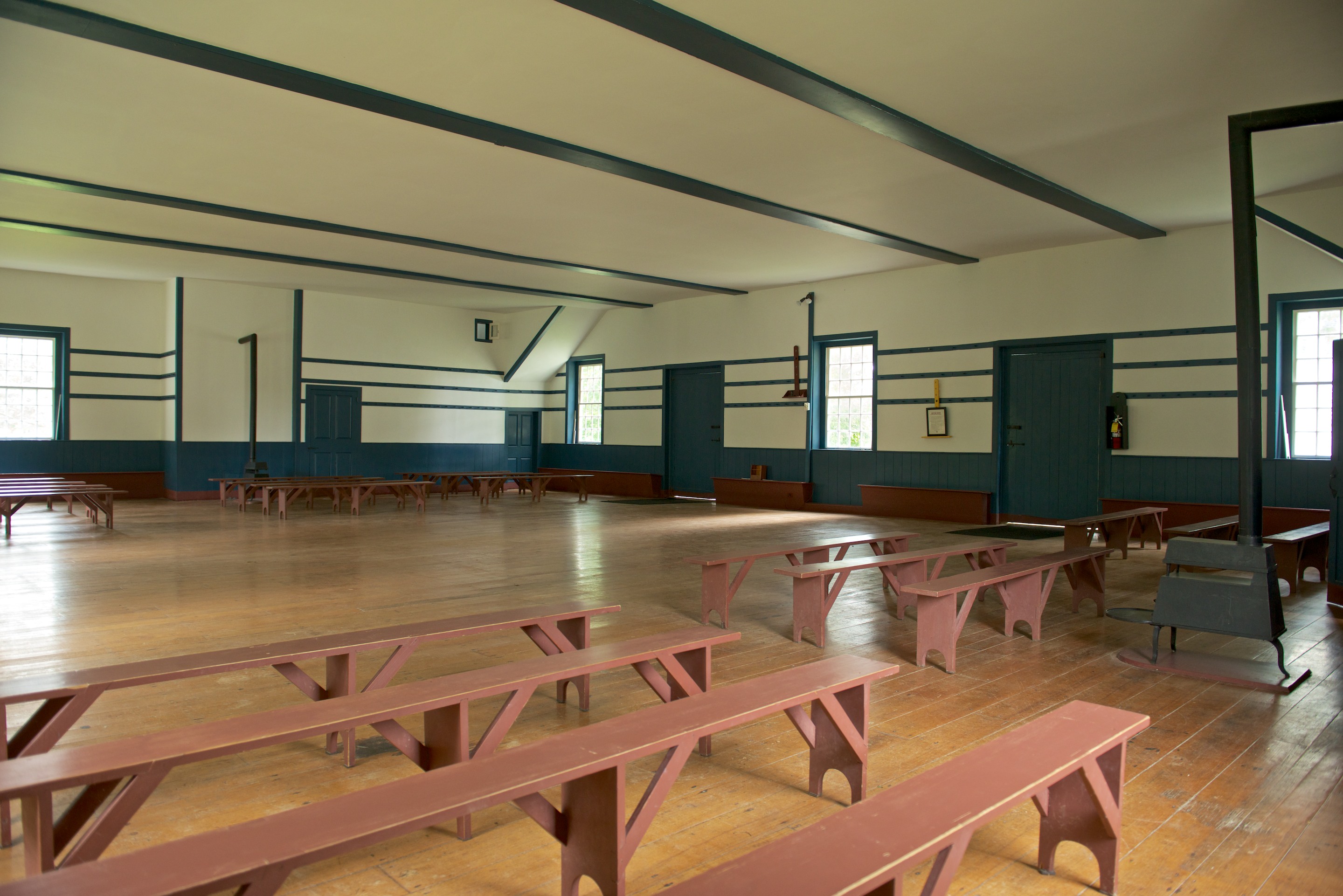
Shaker theology is a bit interesting; the group was almost matriarchal and, since all members were expected to be celibate, depended on conversion and the adoption of orphans to keep up the numbers. Shakers were also opposed to slavery and slave owning converts freed their slaves, many of whom converted themselves, to the annoyance of slave holding families in the south. That said, many Confederate generals prohibited their troops from raiding Pleasant Hill or enslaving the free blacks who lived there. (In contrast to the Army of Northern Virginia in Pennsylvania.) Similarly, President Lincoln granted Shakers the first conscientious objector status in U.S. history.

And thus we come to the end of another wonderful trip.  Each time we visit west of the Mississippi we are more enamored, but for the moment we remain fully rooted on the east coast.  But there is lots to see and do out west and we shall be back!

On to Yellowstone

Still on the move, we headed to Idaho to visit some friends from our time in Monrovia, Liberia, rather a number of years ago.  They live just north of Coeur d’Alene and we had a wonderful time catching up, plus seeing enough of the area to know we have to go back!  They were also kind enough to lend us a washing machine and dryer!  Most important! Off again, we were flagged down as we bought some coffee for the road, by people wanting to see the Tiger.  This is really not a vehicle for the introvert!  We end up giving so many camper tours and handing out Tiger Adventure Vehicles cards.  So, a little later than expected, we headed off to visit the Wolf Education and Research Center near Winchester, Idaho.

This Center teaches about wolves in their natural habitat and is trying to enhance the public’s awareness of wolves, as a threatened species and how they interact with their environment.  Not an easy topic.  At the moment, they have two females in a two acre enclosure and a wounded male, who is not on show. We booked a guided tour for 7 P.M. that evening, and went off to find a campsite in the Lake Winchester State Park, ate a snack and returned for our visit, which included a brief introduction, some explanation of various exhibits in the center and then a visit to a spot by the fence where we would (hopefully) see one or both of the wolves. We walked the short distance to said spot and did indeed see the one wolf, who is curious and who regularly checks on visitors.  We saw her a number of times as she walked by to check us out.  She unfortunately did not stay very long on any of her visits. We did not get any photos as she was behind a fence and it was very dark.  But it was fascinating to see her come by and then disappear into the bushes.  Just as we were preparing to leave, after the tour, the other wolf started howling and continued for about 20 minutes.  A wolf had died a couple of weeks before and the howl started as a sad howl, probably mourning the dead wolf, and finishing in a warning, barking howl as dogs answered and the wolf obviously felt threatened by their presence.  It was the most eerie sound we have ever heard;  the male and the other female both answered the howl.  It was amazing.  The non profit group is currently deciding whether to take in more wolves or to move locations to another state to continue their work there.

More wonderful scenery lead us across the Bitterroot Range, on Route 12, along the Clearwater River which becomes the Lorchsa River.  A stop at Traveller’s Rest State Park taught us all about the Lewis and Clark expedition and about the study of the only confirmed (to date) campsite of that expedition which is in the state park. The archaeological process by which they confirmed the exact location of the camp is fascinating, involving the  rereading of old accounts, and the examination of old military camp layouts. Working from the estimated position of the sleeping spaces (they had, by that time, long lost their tents), archaeologists calculated the location of the  “sinks” or latrines and began excavating. Immediately they found, as expected, traces of mercury. Why mercury? It is known that the doctor who consulted with Lewis before the trip prescribed potent laxative pills (known colloquially as “Thunderbolts” for their explosive action) as the standard remedy for most ills. Lewis was persuaded and took a large supply which was administered to the troops as required. One of the key ingredients was mercury. The museum was most interesting with a display of items found there, plus lots of explanations about the routes taken by the expedition.  We walked the loop in the park to see the actual camp site.  There is not much to see, but as the wife of the historian Stephan Ambrose commented, “walking in the steps of Lewis and Clark makes your feet tingle.” The camp was here:_ND84444 And the “sinks” were here:_ND84447 The whole area of Traveler’s Rest is very pretty._ND84448  That night we camped in the Beaverhill State Park in a pleasant, if expensive, site and continued on the next day towards the Beartooth Pass leading into the northeastern entrance to Yellowstone National Park.  Fred was fascinated by the remains of the huge copper mines at Butte, Montana, previously worked by the Anaconda Copper Mine Company. We liked the look of the town of Red Lodge which is obviously a ski area town full of bistros and coffee shops but looked like a pleasant spot.  We spent the night and purchased diesel there before tackling the pass itself.  And what a pass, it was spectacular! We climbed to 10,700 feet passing from pine forests to alpine tundra meadows, from snow basins to jagged peaks, from frozen alpine lakes to vast vistas.  Needless to say, we have lots of photos! _ND84454 _ND84459 _ND84465 _ND84471 _ND84475 We stopped for slightly uninspiring lunch in a cafe in Cooke City. We were tired of our own food and, amazingly, the wait and kitchen staff were all Ghanian. We then headed into the Park.  The Lamar Valley is supposed to be one of the best places to view the Yellowstone wildlife and as Denise was anxious to see bison, we kept our eyes open.  And we were rewarded by a number of herds of bison, most in the distance.  One bison  did walk across the road in front of us, which was fun. _ND84491 _ND84494 We also caught sight of a couple of elk and some pronghorn deer.  We were heading to the Eastern exit to camp when we stopped at the Sulphur Cauldron to view the steam and bubbles coming out of the earth (and even out of the car park at one point!). _ND84495 We then walked over to see the Mud Volcano, the Dragon’s Mouth spring and cave and various other cauldrons.  Fred especially marveled at the Dragon’s Mouth, where the gases exploded and caused the water inside the cave to rush out making a roaring noise. _ND84502 Climbing the hill we saw this bison at the edge of a pool of roiling (not boiling) water. He was so still that, at first, we wondered if he was some form of statue._ND84508 The smell of sulphur is strong and can be unpleasant.  At least, Denise thought so!  Fred was fighting a headache and it was getting late by now as we had been quite fascinated by what we saw.  So when we saw that the RV park at Fishing Bridge still had space, we bit the bullet, took a space in what is essentially a parking lot with hook ups, paid over lots of dollars and had a place to spend the night though we had to fight the mosquitoes for it!  We were up at 5.30 A.M. and off by 7.45 A.M.  We wanted to see “Old Faithful”, the most famous geyser of Yellowstone, and, if possible, with only a couple of hundred other people rather than a couple of thousand.  It was about an hour’s drive and we were thrilled to have an elk cross the road in front of us.  Again no photo as it was not a safe place to stop.  We headed for the parking lot and had our choice of spaces so we took one in the shade and headed in the direction of the people streaming out of the parking area.  We stopped at the Visitor Center and acquired a guide to the area, as well as browsing the books and offerings in the shop.  We started a ranger guided walk at 9.30 but it was a rather unwieldy group so we moved on and found a good spot to view “Old Faithful” from the back of the Old Faithful Geyser Loop.  The geyser performed, on schedule, hurling water about 150 feet high. _ND84524 _ND84521 We then set out to wander the Geyser Hill Loop which passed by various other geysers most of which are unpredictable from an eruption point of view.  We did, however, see Bee Hive, which erupts twice a day though on an irregular schedule, begin its pre-eruption characteristic, so we kept an eye on it and were indeed rewarded with an amazing eruption with the narrow cone projecting water more than 175 feet high.  And we were much closer to it than we had been to Old Faithful.  In fact, we had to change our viewing spot so as not to get soaked.  Needless to say, we do have photos of both eruptions! _ND84571 _ND84547 _ND84565 The rest of of geyser hill offered wonderful views of geysers of many different geysers._ND84538 _ND84544 _ND84541 The Ranger on our tour had mentioned the good ice-cream at the Old Faithful Inn, so we headed in that direction to boost our blood sugar levels after all this excitement.  We sat on the fence and watched Old Faithful erupt again as we enjoyed the excellent ice cream and then headed for the car pack.  This had degenerated into a mob scene with cars going in all directions hunting for a space.  The hordes were arriving, and bus after bus was pulling in; so we were delighted to leave our space for someone else and head south out of the park and into the Grand Teton National Park via another scenic route (of course!). _ND84573 We did not stop in the Grand Teton park, just drove through it on the main road.  We were stunned however to see a huge herd of bison, some of whom were very close to the road so we did stop for a half hour or more and lots of photo taking while we watched them.  Bearing recent injuries to tourists in mind, we did not approach too closely but used a telephoto lens with excellent results.  The views in Grand Teton are unbelievable as the craggy, snow covered peaks just rise up with no foothills.  Quite amazing and very beautiful. _ND84577 How tourists get hurt._ND84590 _ND84588 _ND84585 _ND84584 _ND84581 We continued south looking for a campsite and stopped at the Warren Bridge campsite, a BLM recreation area, south of Jackson Hole.  It looked very bleak as we arrived with barely a tree in sight, but we enjoyed our time there.  _ND84601 
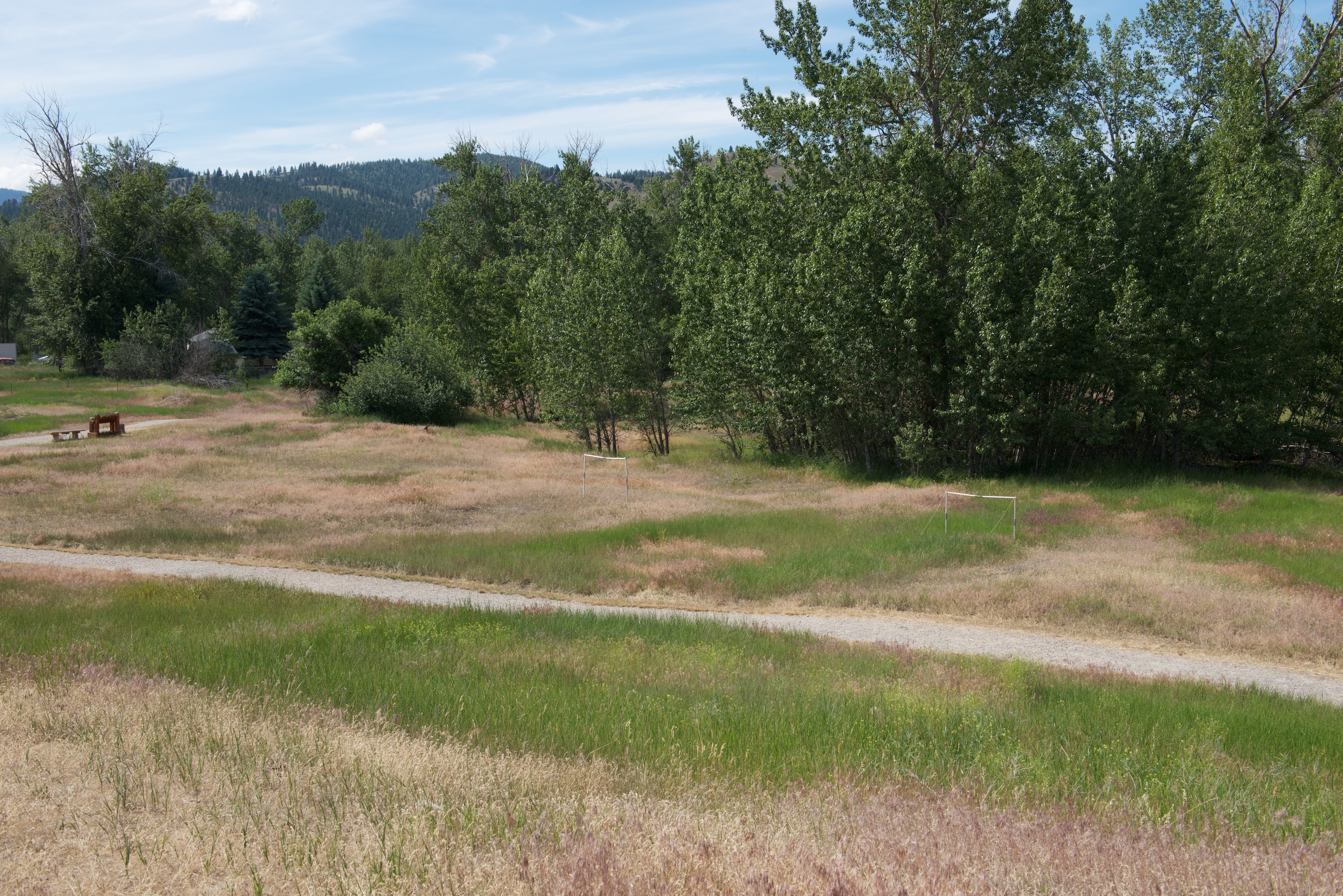
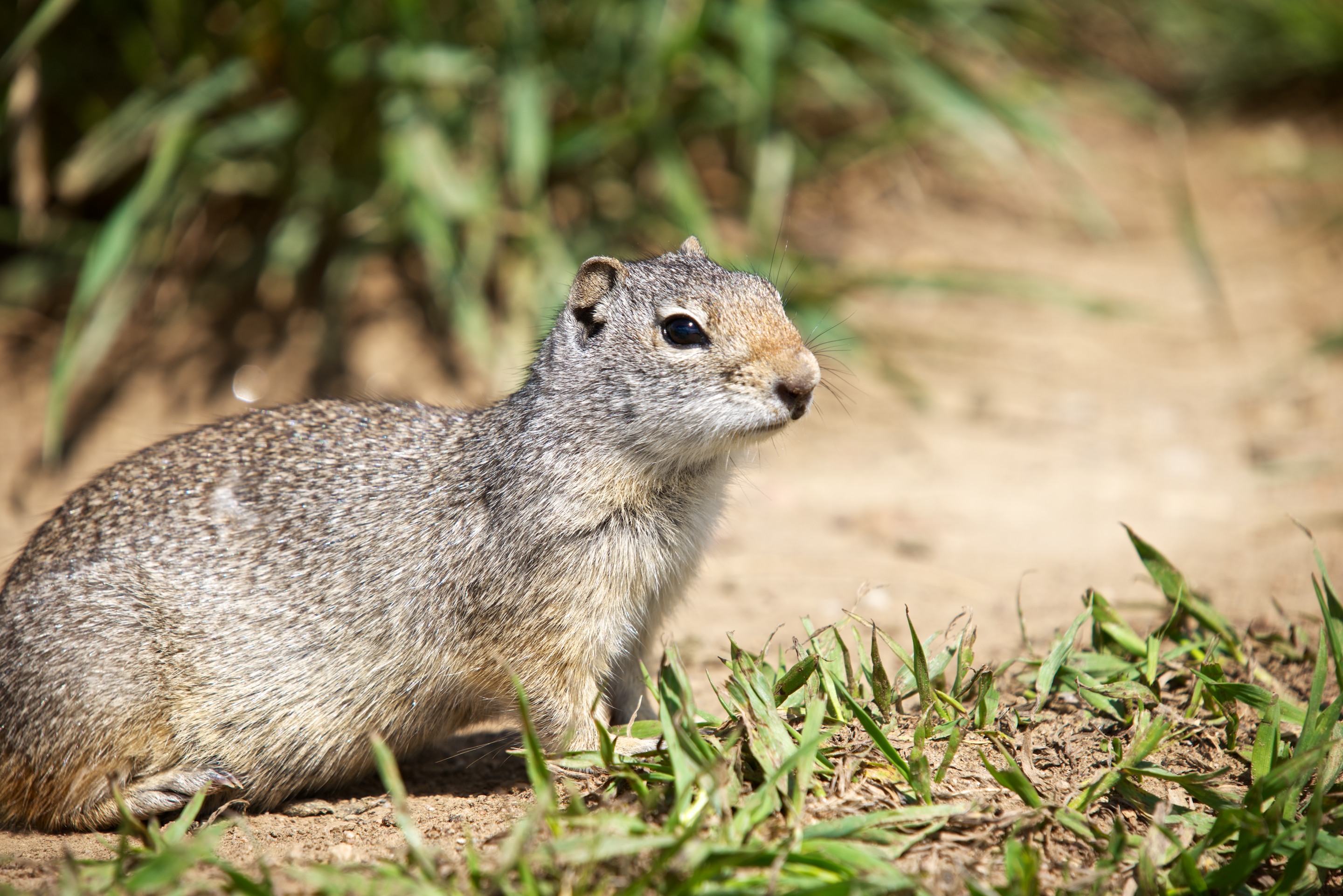
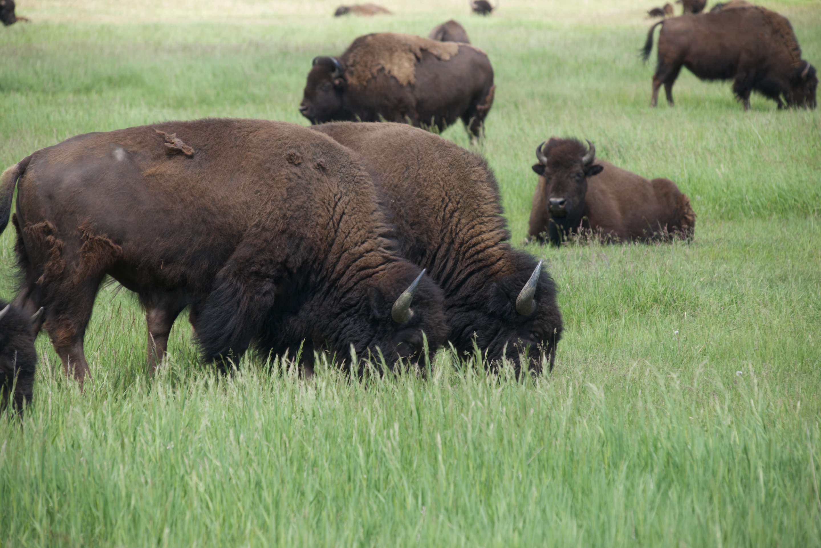
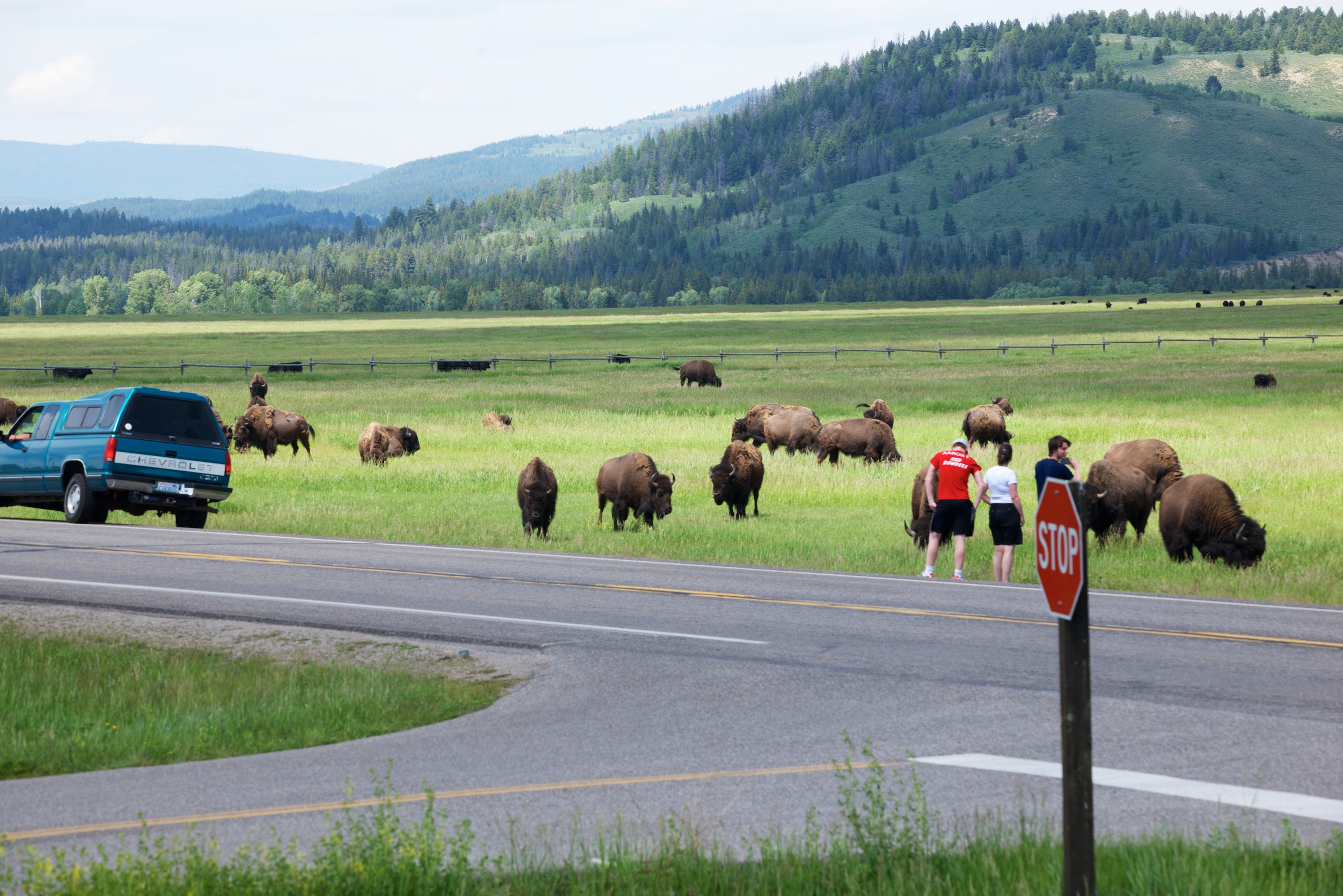
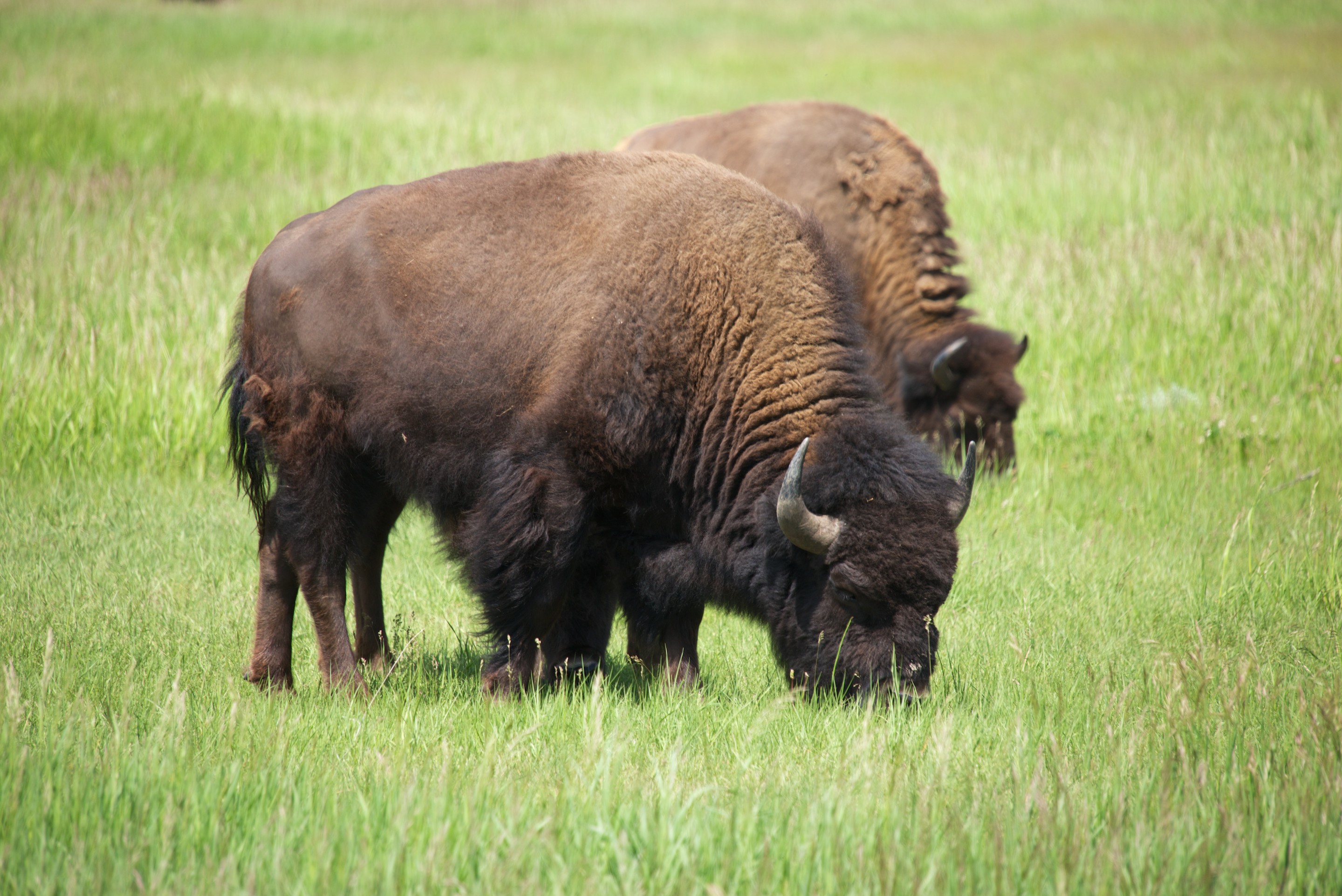
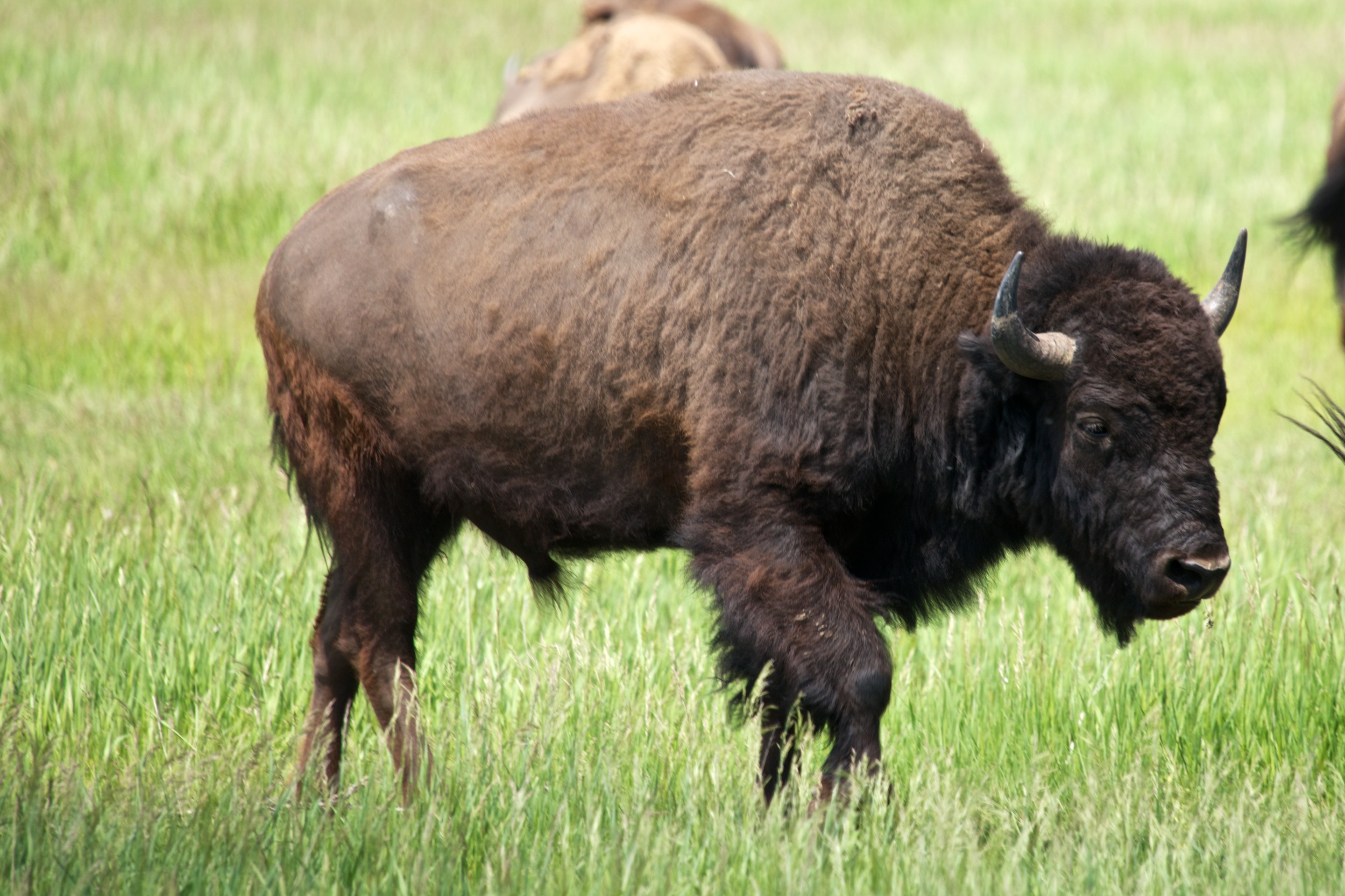
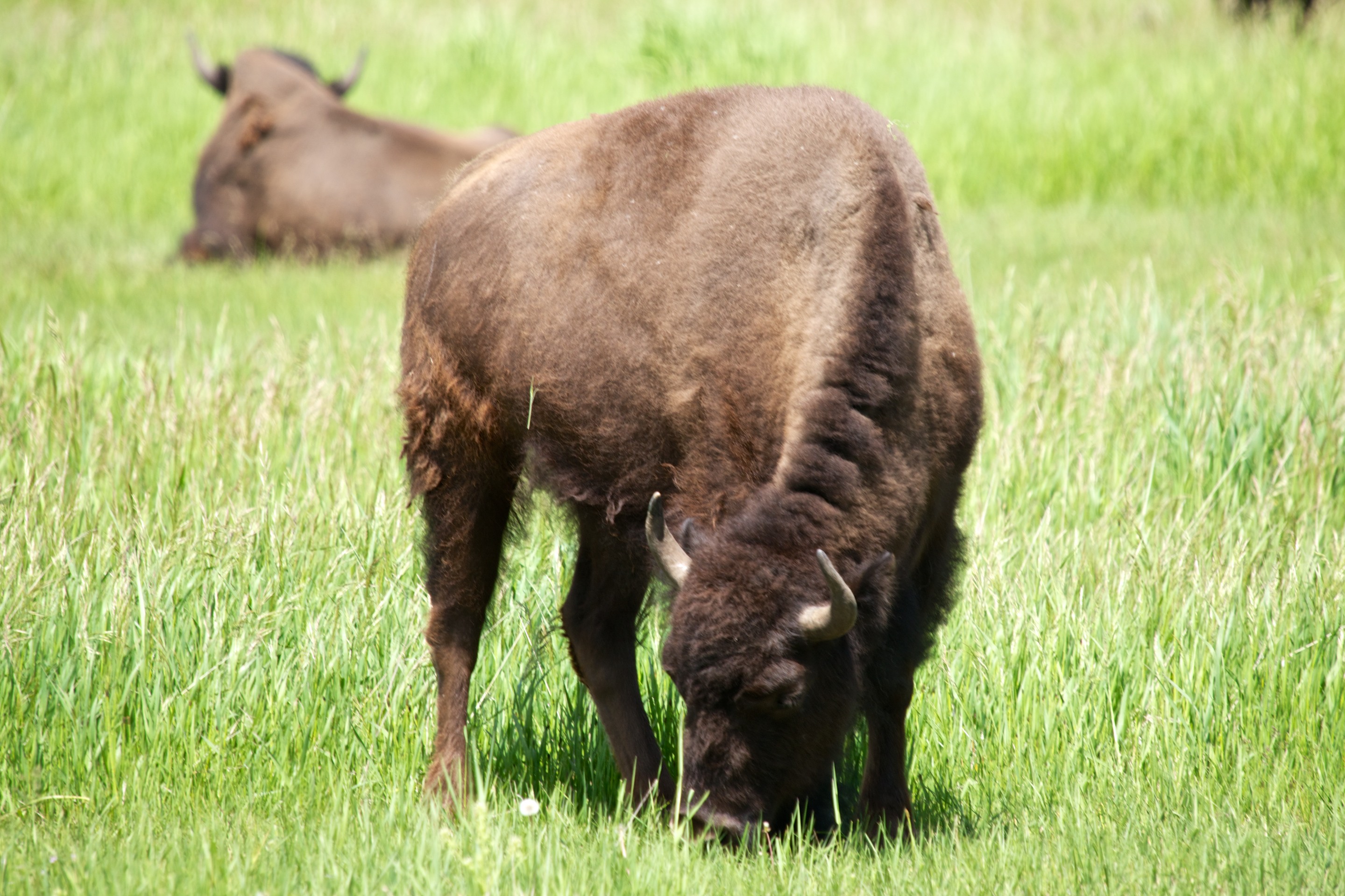
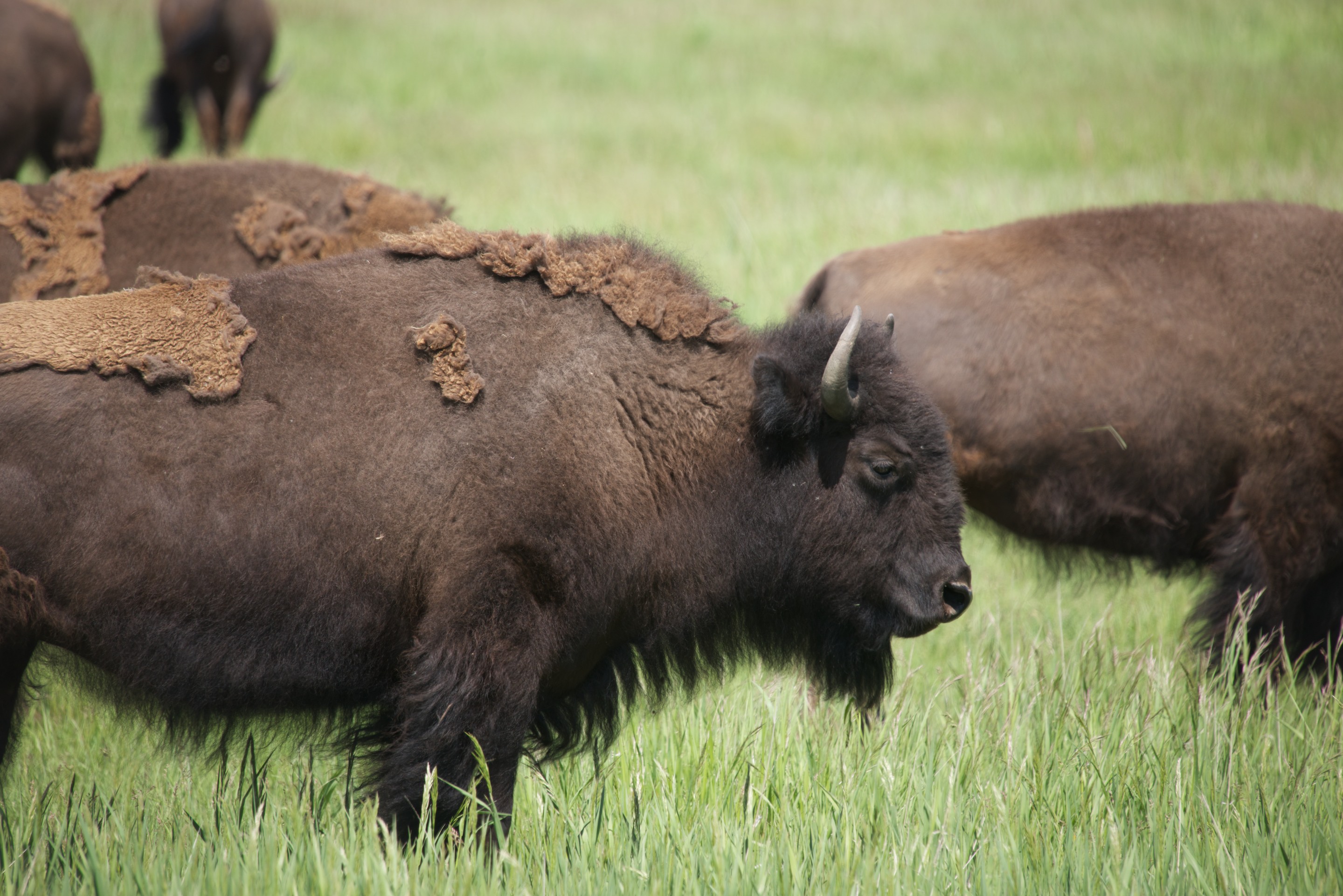
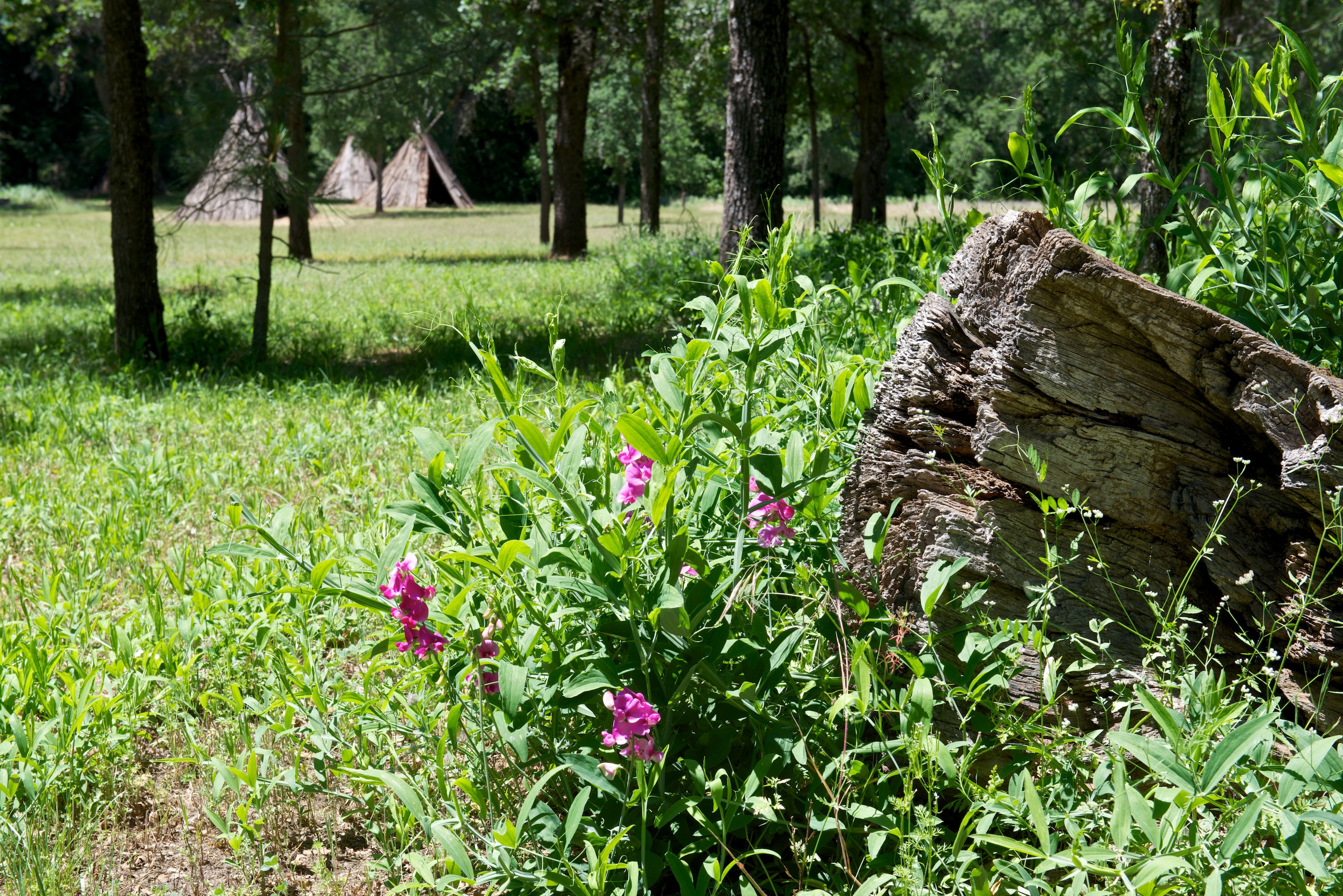
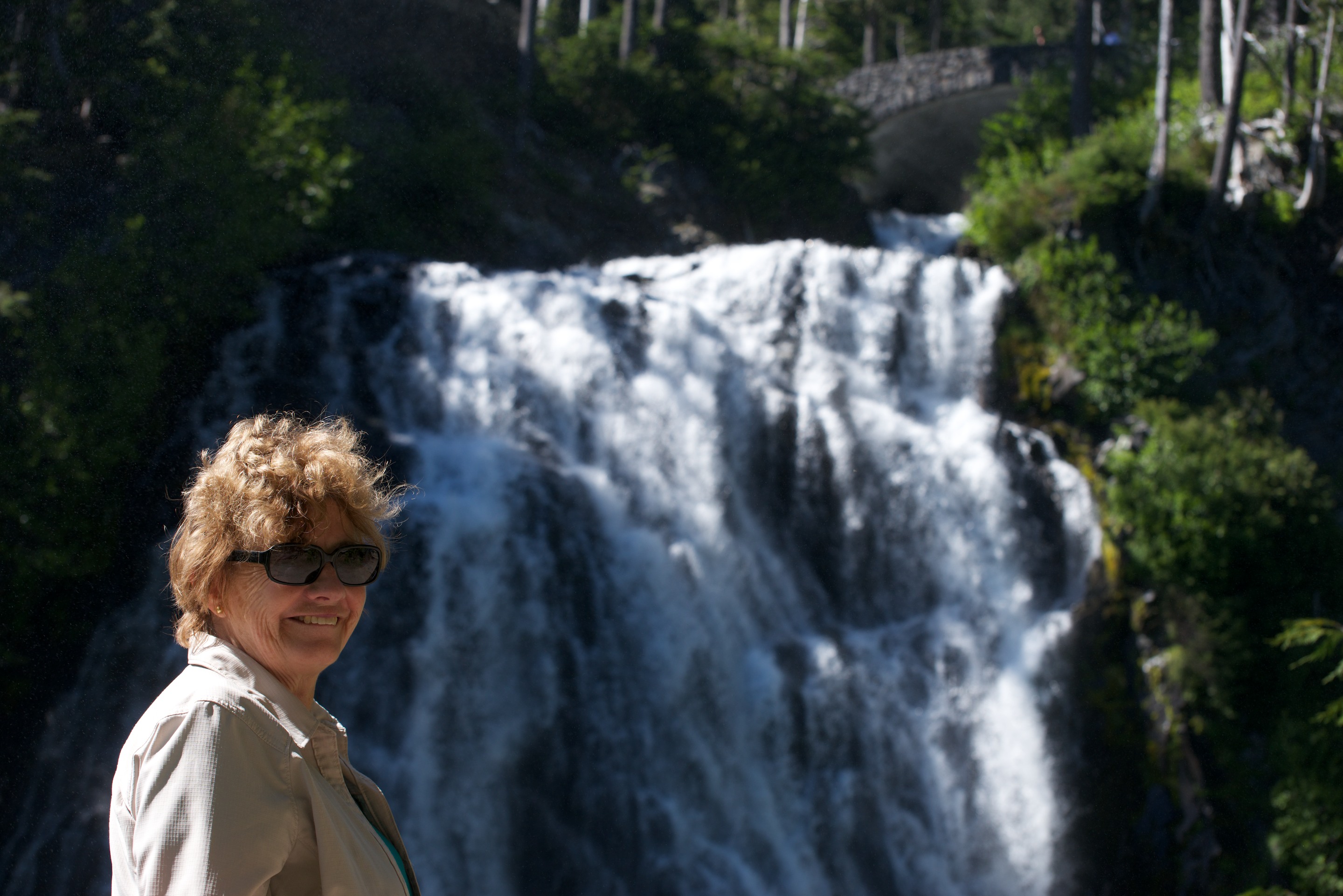
The hosts were charming, the pronghorn deer wandered by and the ground squirrels were cute!_ND84606 Our next stop was to be the Tiger Owners Rally, near Leadville so we had a long day’s drive ahead of us.

Volcanic Violence

We then started a series of visits to sites of great violence, volcanic violence, that is, beginning with Crater Lake.  We were still early in the season and part of the East Rim was closed as it was still under snow and we were too early for any boat rides on the lake or tours of the rim road, as June 26 is the start up date for those.  But after educating ourselves at the Visitor Center, we began visiting the various viewpoints, walking along the rim.  It is a most beautiful and awe inspiring sight and the color of the lake is a deep blue. We were interested to see a considerable amount of algae bloom in one section of the lake, presumably due to the light snowfall of the winter.  A mere 16 feet instead of the more usual 45 feet!

_ND84352As most know, Crater Lake is a caldera left after the explosion of Mount Mazama, just over 7,000 years ago. Interestingly enough, the traditions of the native Americans who live in the area are very accurate in describing the eruption. Native American artifacts, found under the Mazama ash, confirm that they were living in the area prior to the eruption. The Mazama eruption is unusual in that subsequent eruptions sealed the bottom of the crater and thus trapped the rain and snow melt water. There are no rivers that flow either in or out of the lake and thus the water is of extreme purity. There are, of course, many such caldera in the United States, Mount Saint Helens being one of the most recent and Yellowstone being the largest. Fred first discovered a volcanic caldera at Gunung Bromo in east Java and has been fascinated by them ever since. (https://en.wikipedia.org/wiki/Mount_Bromo) A visit to Crater Lake was a lifetime dream. We drove the West Rim road and then left, heading north to Bend, Oregon, where we had a great pizza for dinner!

_ND84354

Ants chewing their way through a stump. (Click twice to expand.)_ND84360

Wizard Island is a cinder cone that grew up through the lake._ND84366_ND84357

While near Bend we visited the High Desert Museum, a fascinating spot with historical displays and some native animals (most of whom had been wounded or were unable to be released for some reason).  (http://www.highdesertmuseum.org) The exhibit on the Oregon Trail was fascinating with a wide selection of photos and clothing as well as artifacts.  The Indian exhibit was interesting but we most enjoyed the river otters.  We had not seen river otters since we lived in Coral Springs and it was such fun to see them swimming and racing around.  Fred also liked the raccoon and the bobcat.

Heading back across the Cascade Mountains we drove through beautiful slopes of pine trees.  The scenery in this part of the United States is amazing; it keeps getting better and better.  But the temperature kept rising and it was getting hotter and hotter.  Passing a Ranger Station, it read 98F!  We decided that a night of air conditioning was in order, so we stopped at an RV Park on the Mackenzie River.  It was not an evening for a primitive site; Denise demanded her air conditioning!   It proved to be a delightful spot and we were given a site right on the river, which was quite loud at that point due to rapids, and under shade trees.  We spent a delightful evening watching rafters shoot by and then slept well in our cool Tiger.

Tiger Adventure Vehicles source their solar equipment from a company named AM Solar, in Springfield, Oregon. We took advantage of the opportunity to stop in and see their facility and to look at their new line of Lithium batteries. We nearly missed the shop as their sign is tiny, but the grounds are a glorious garden overlooking a stream. Fred had a great conversation with one the the technicians and admired the mockup of their new batteries. There are many tempting advantages to Lithium batteries, but the existing batteries on Ndeke Luka work so well and have the advantage of being fully paid for. Also, the demand for AM Solar’s new Lithium batteries is so great that they are backlogged several months on installations. There may be other companies in the business that can be trusted to sell you good solar equipment and more importantly, instal it correctly, but AM Solar is the one we always recommend. (http://amsolar.com)

We camped at the Kramer winery, another Harvest Host member, not too far from Portland, Oregon. (http://www.kramervineyards.com) We had a wonderful evening chatting with staff and a couple of intrepid bicyclists who had found their way up the hill, and getting to know Cosmo, the black lab cross, who lives there.  Ignoring Cosmo, Norlina Bleu enjoyed a wild, off leash ramble and went to bed a happy cat. Another beautiful spot to enjoy and of course, we purchased some more, OK, a lot more, wine!

_ND84374

Following our violence theme, we headed next to Mt. St. Helens;  after learning about the actual event and reading some of the poignant stories, we headed up the mountain itself through the blast area to the Johnson Observatory where we took photo after photo and climbed a short trail to get the best views.

First view of the mountain in the distance._ND84385

As you get closer, the mountain gets bigger and appears to be surrounded by forests._ND84394


Get closer still, and you notice the vast areas that are still denuded of trees, thirty years later. The new crater is also clearer._ND84396


There were riots of wild flowers everywhere._ND84401 _ND84407

And lots of destroyed trees._ND84409 _ND84412

A telephoto lens provides a view into the crater, where the central lava dome is now over 1,000 feet tall; awaiting the next blast._ND84411

The mountain and the blast area are both amazing, both made a great impression on us. The Johnson Observatory is named for David A. Johnson, who was on the ridge reporting by radio when the volcano erupted. He was never found. (https://en.wikipedia.org/wiki/David_A._Johnston) Fred, who has enjoyed visiting volcanoes for many years, found the visit especially moving and fascinating.

And on to Mount Ranier, Denise’s choice.  (Fred was struck by the fact that, at the Mount Saint Helen’s Visitor Center they noted that Mount Ranier is projected to be the next Cascades volcano to erupt.) We are still enjoying cool, cloudless days with bright sunshine and deep blue skies and we could see the volcano from afar.  We stopped in Morton on the way, for some needed items (fuses, a new sewer hose and a multimeter, the latter being Fred’s birthday gift to himself) and enjoyed a coffee and goodie at a great coffee shop.   The owner of the NAPA auto parts store had to come and inspect the Tiger of course! A quick note on customer service. We had stopped at a Camping World store (where we get a discount) to buy a new sewer hose, but left without buying a thing as we could not get anyone other than the receptionist to spare us the time to explain the different hoses and mounts. The NAPA store may have be a bit more expensive but they got the sale as the owner was so helpful and welcoming. (http://www.whitepages.com/business/eds-morton-auto-parts-napa-morton-wa)

There was some delay on the road due to roadworks, but we made it up to the Visitor Center and found a place to park, not always easy!_ND84419

We decided to treat ourselves to lunch in the Lodge, a most attractive log building. Sadly though, we found the food good but not wonderful.  We then walked the trail to the view points for the glacier.  Denise enjoyed the wildflowers, especially the alpine lilies that carpeted the meadows like snow.  In fact, the flowers have been beautiful on this trip, from the mountain meadows to the gardens in California and Oregon, and even fields of blue along the highways in Montana and Wyoming.

_ND84421

The views over the glacier were well worth the walk and Fred managed to photograph skiers taking advantage of the snow, way up on the glaciers. (Click twice to expand; those tiny dots in the first picture are skiers. Really.)_ND84430_ND84428

We stopped at the Narada waterfall on the way out and climbed the path down to the base.  It was quite spectacular with snow melt.  _ND84435

_ND84432

A last view of the mountain as we left the park._ND84437

We then took the Steven Canyon Road through the park to the eastern side where we were able to camp in the National Park Service Campground, deep in the woods. Fred noted that the campground had a big warning panel entitled “Safety Precautions for Camping on a Volcano”. Who knew that camping could be so exciting?

As we continued down the road we came to an incredible set of palisades, an ancient lava flow._ND84438

The scenic turnout featured several “hosts.”_ND84440

Climbing away from Yakima we had one last view of Mount Ranier on the horizon, as we headed towards Coeur d’Alene, Idaho._ND84443
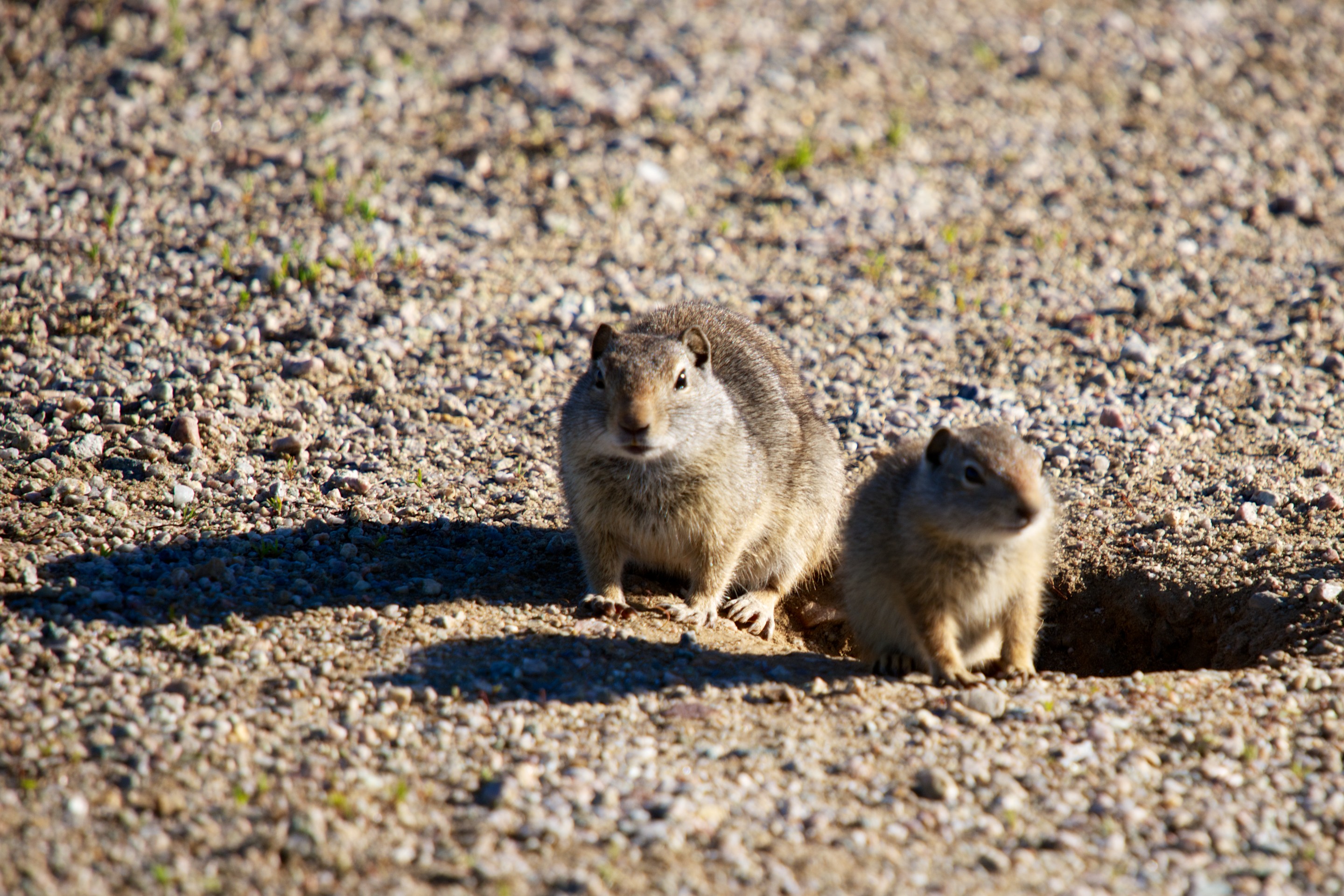
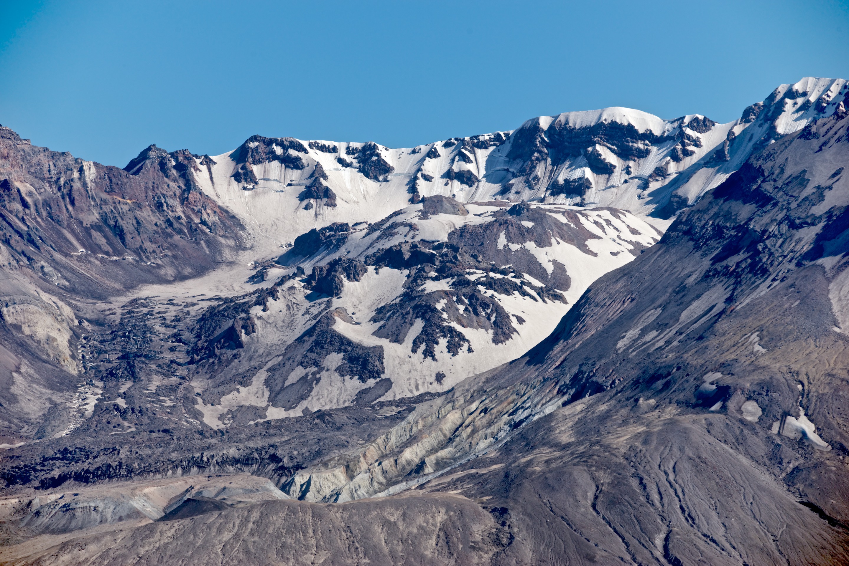
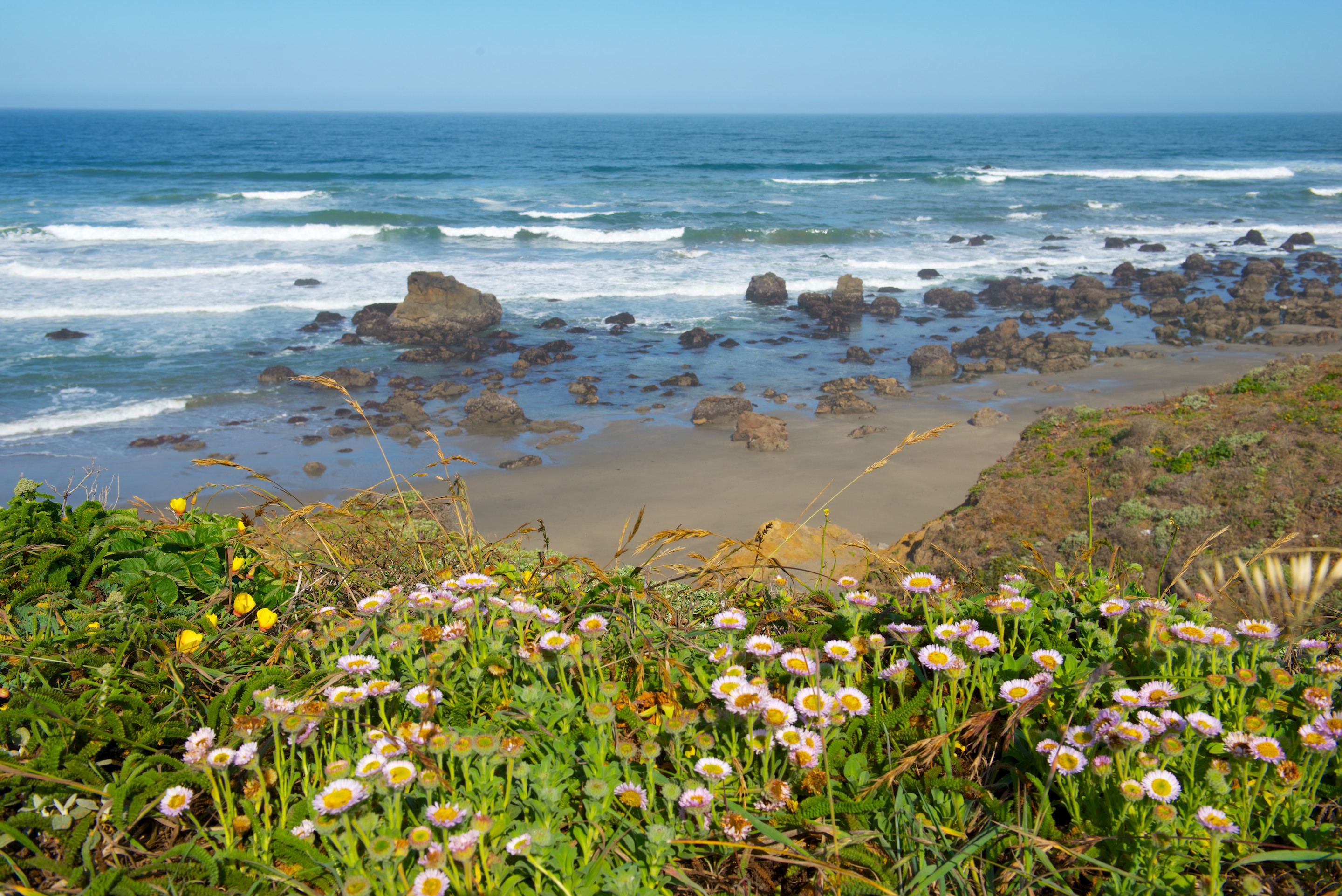
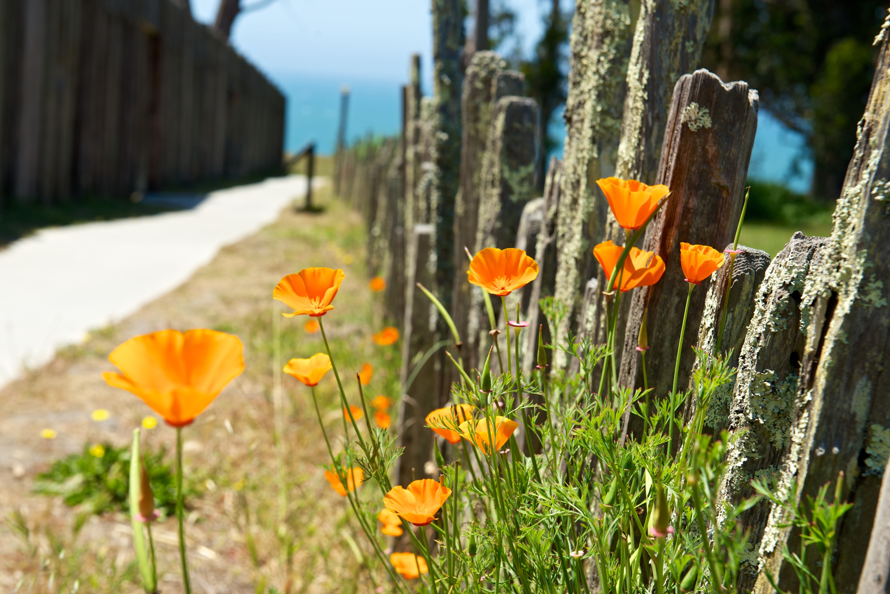
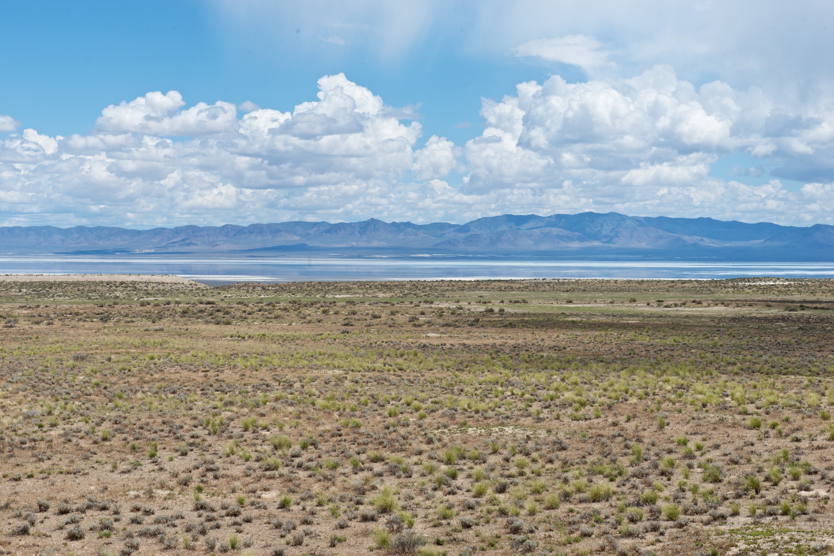
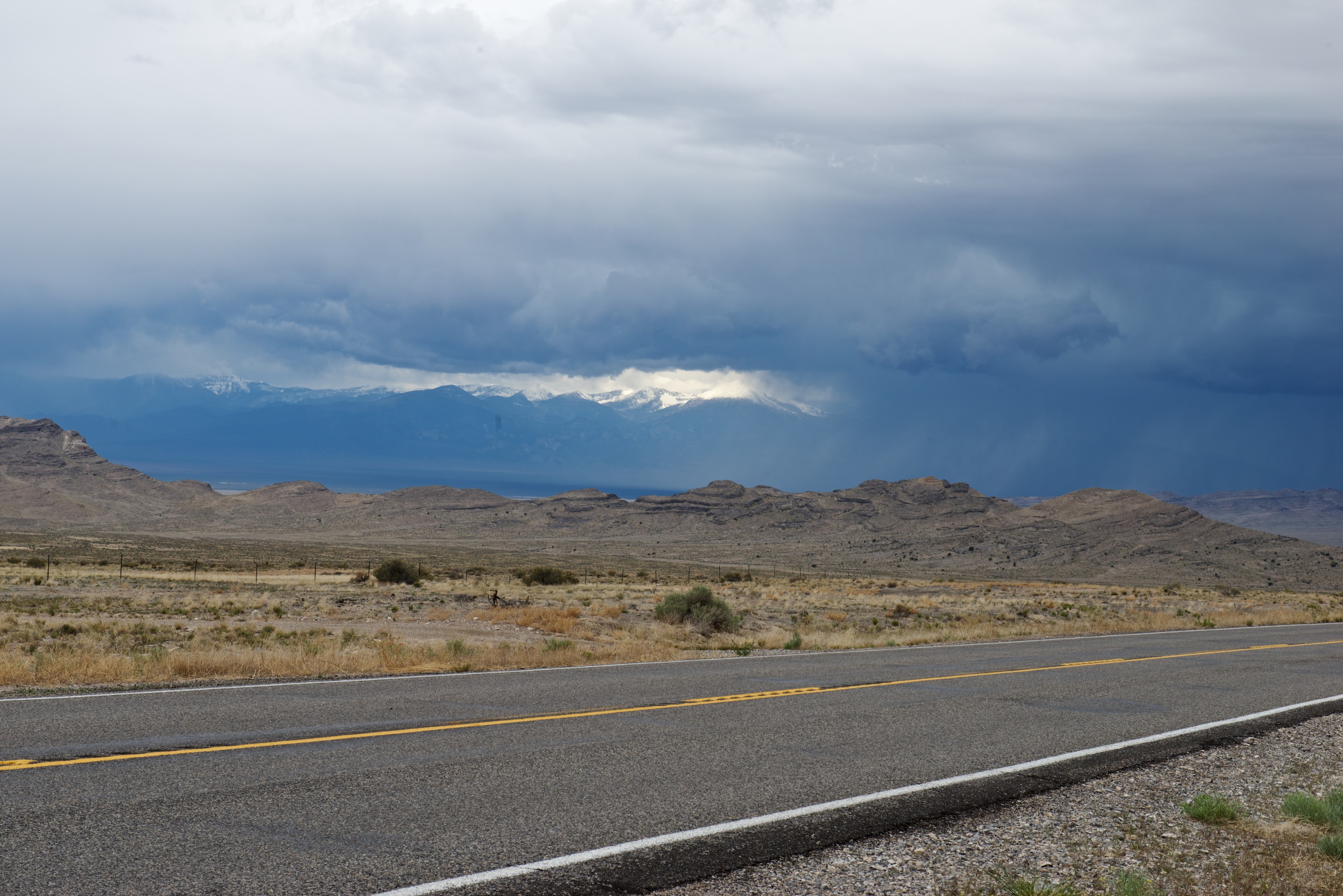
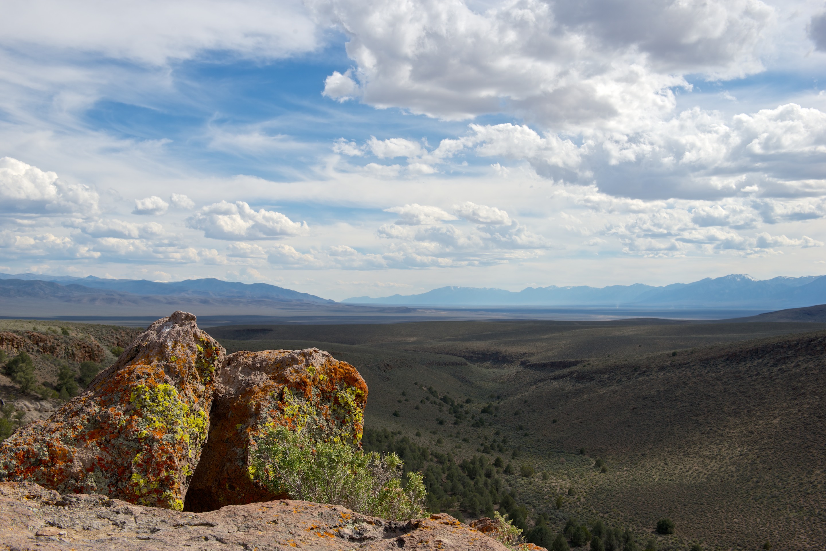
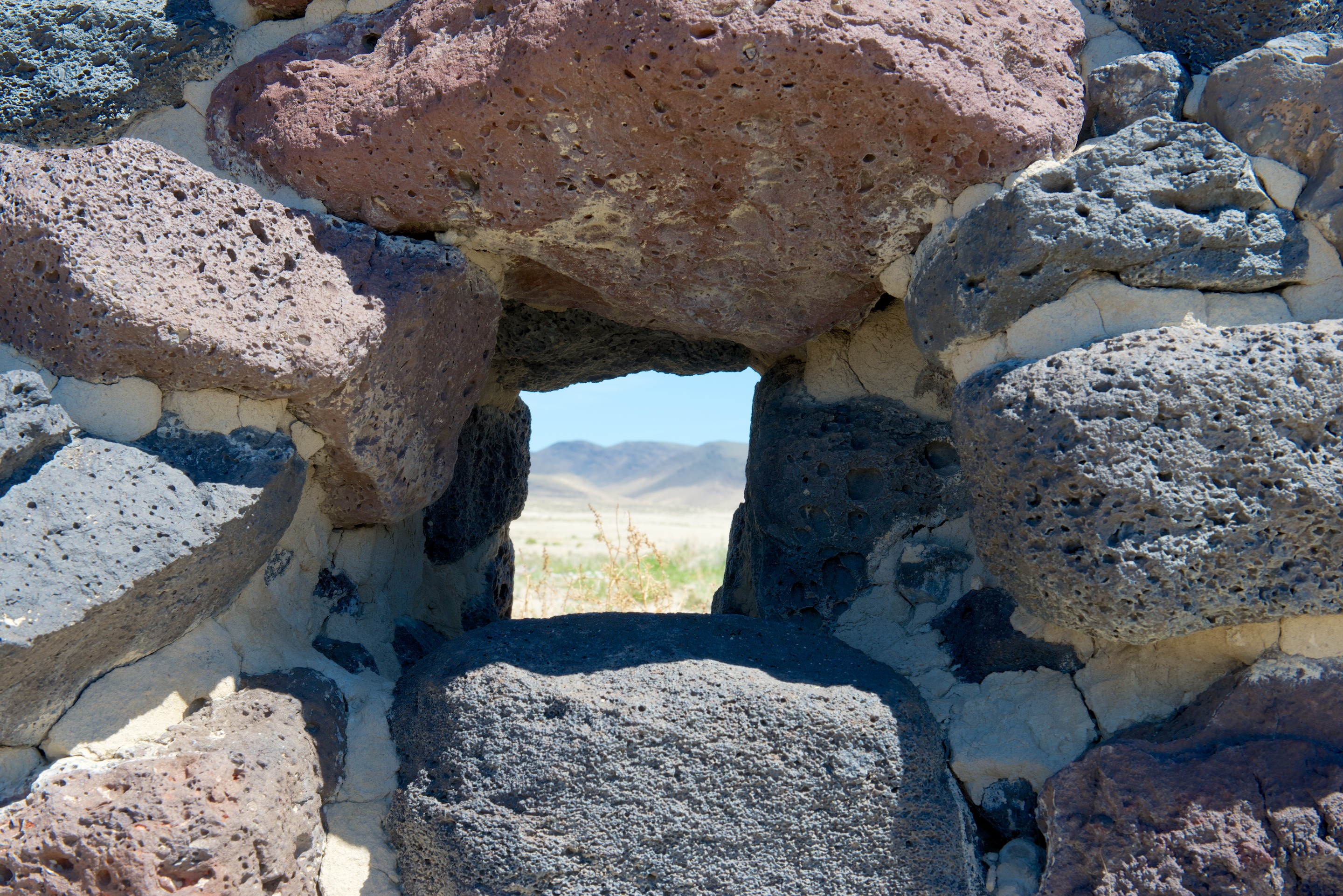
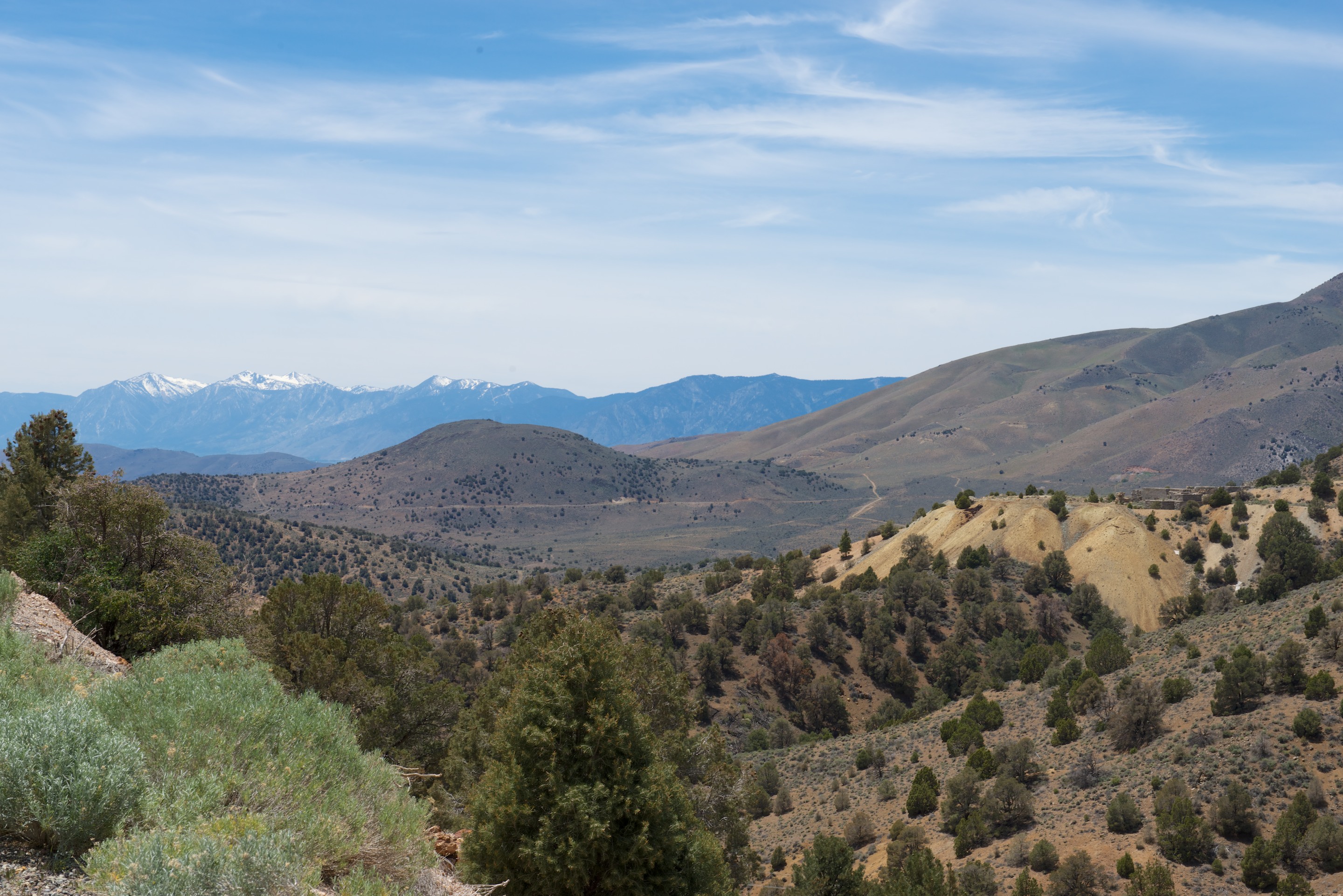
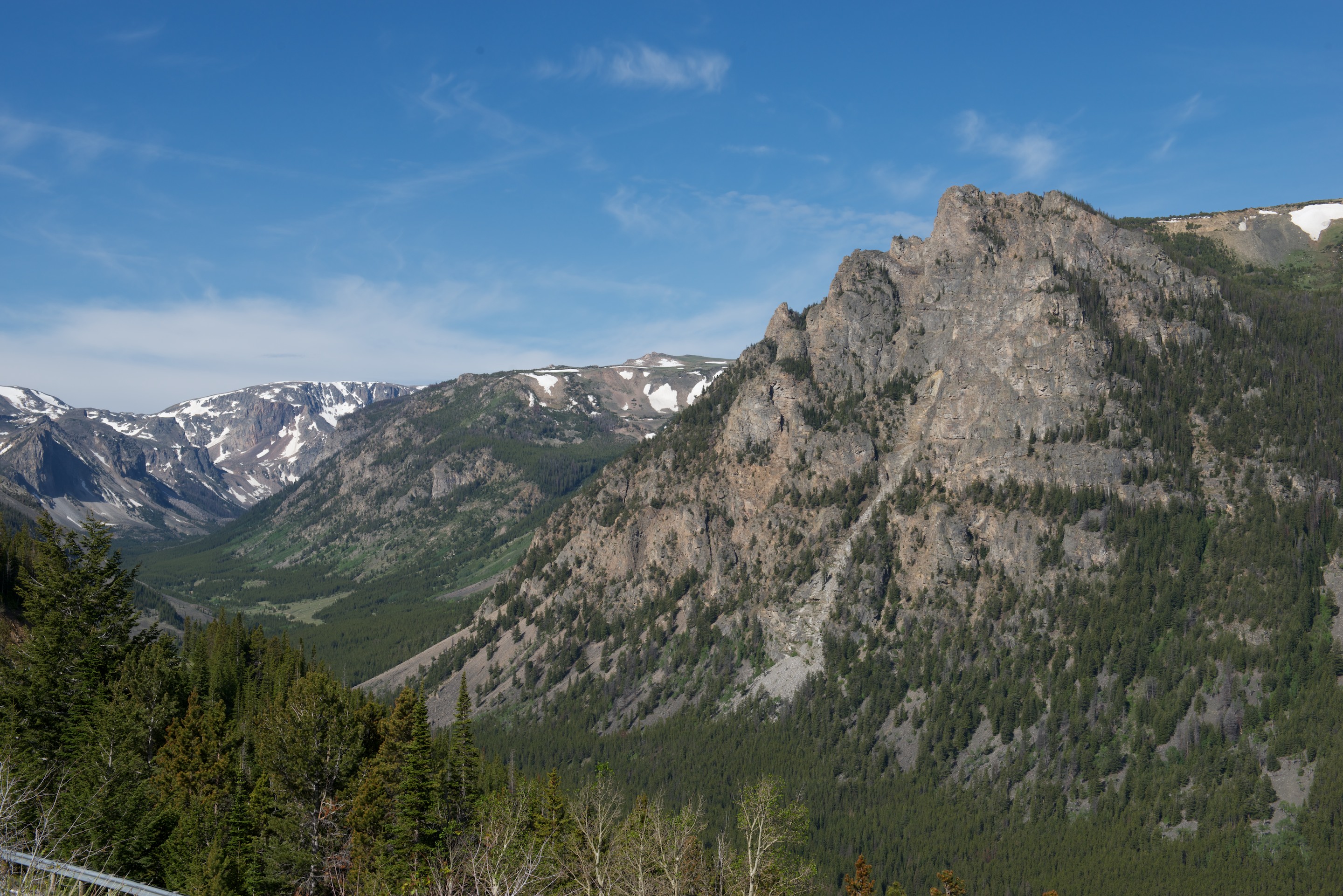
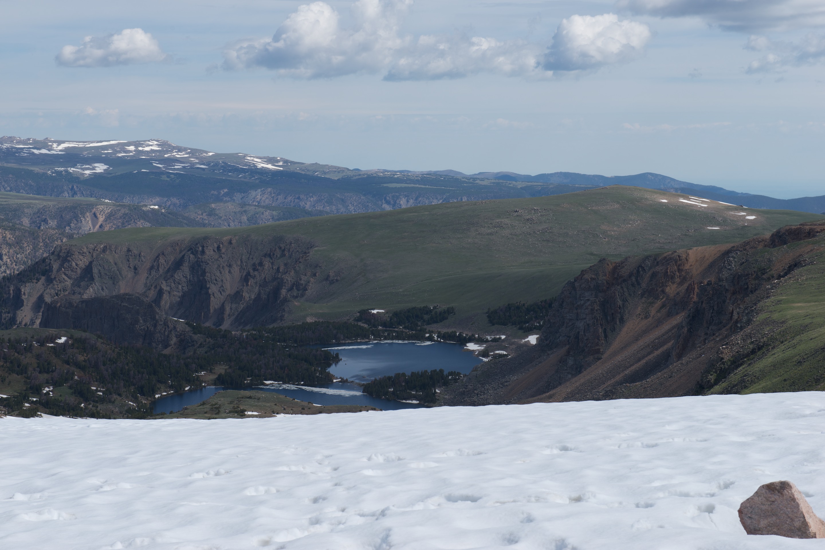
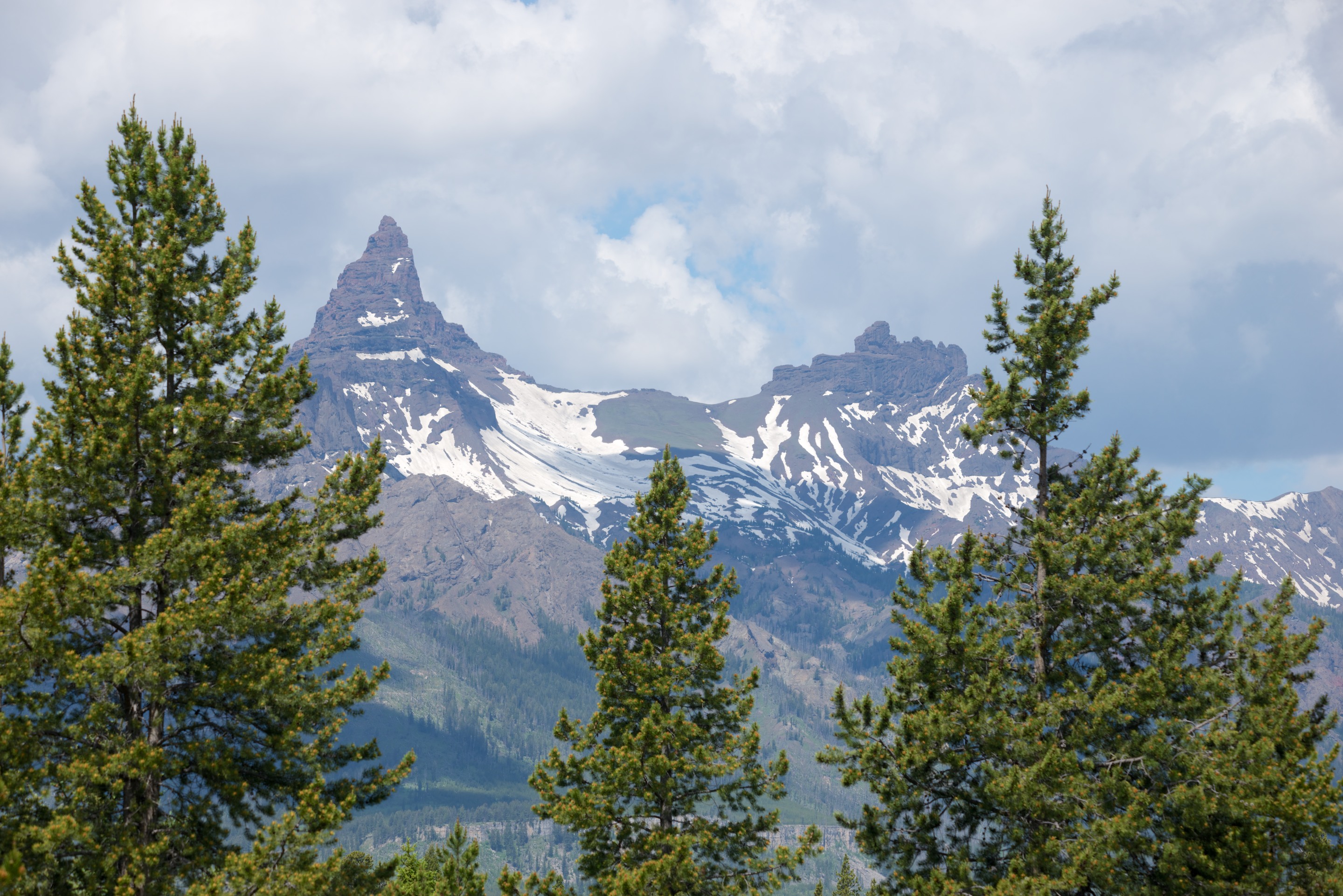
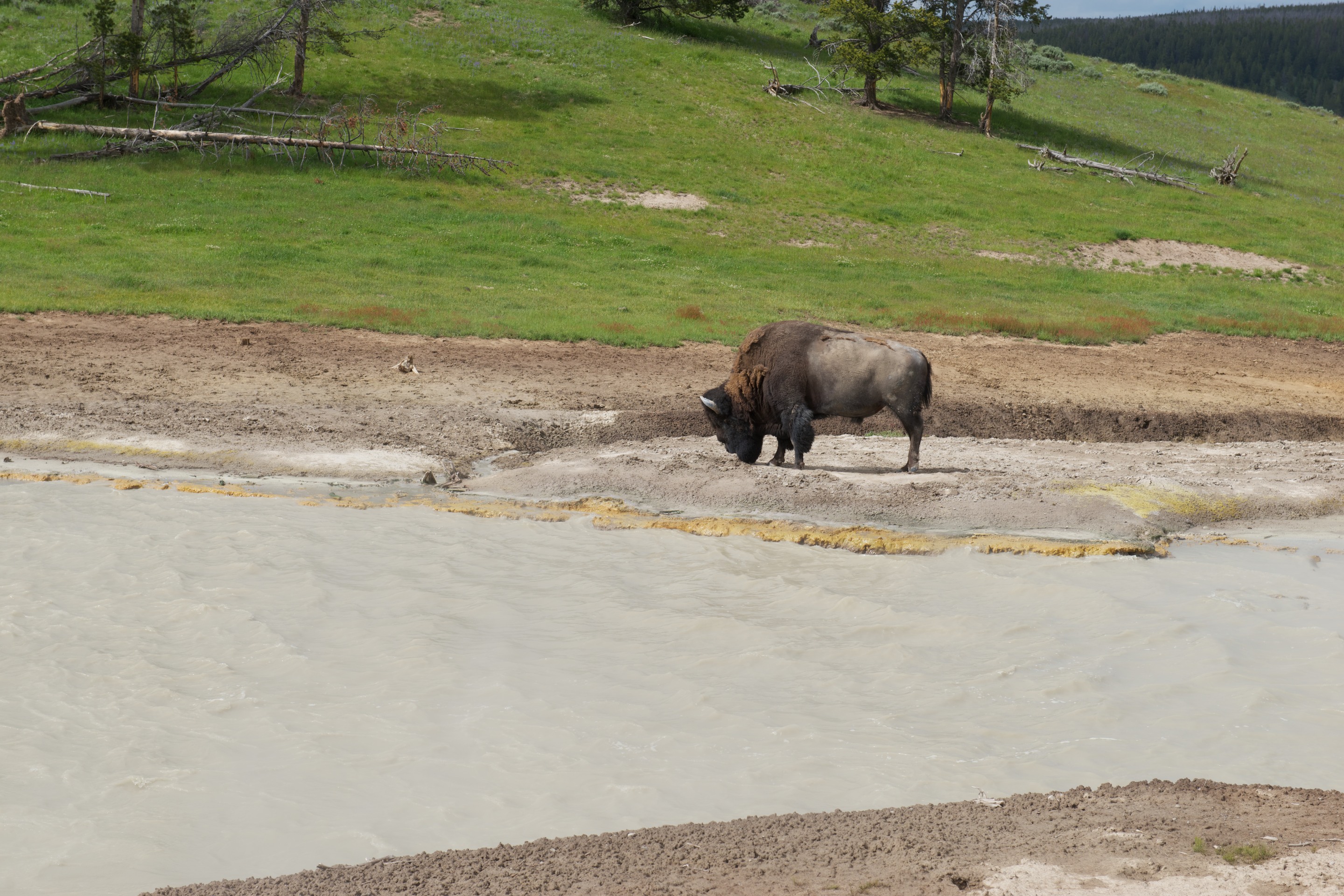
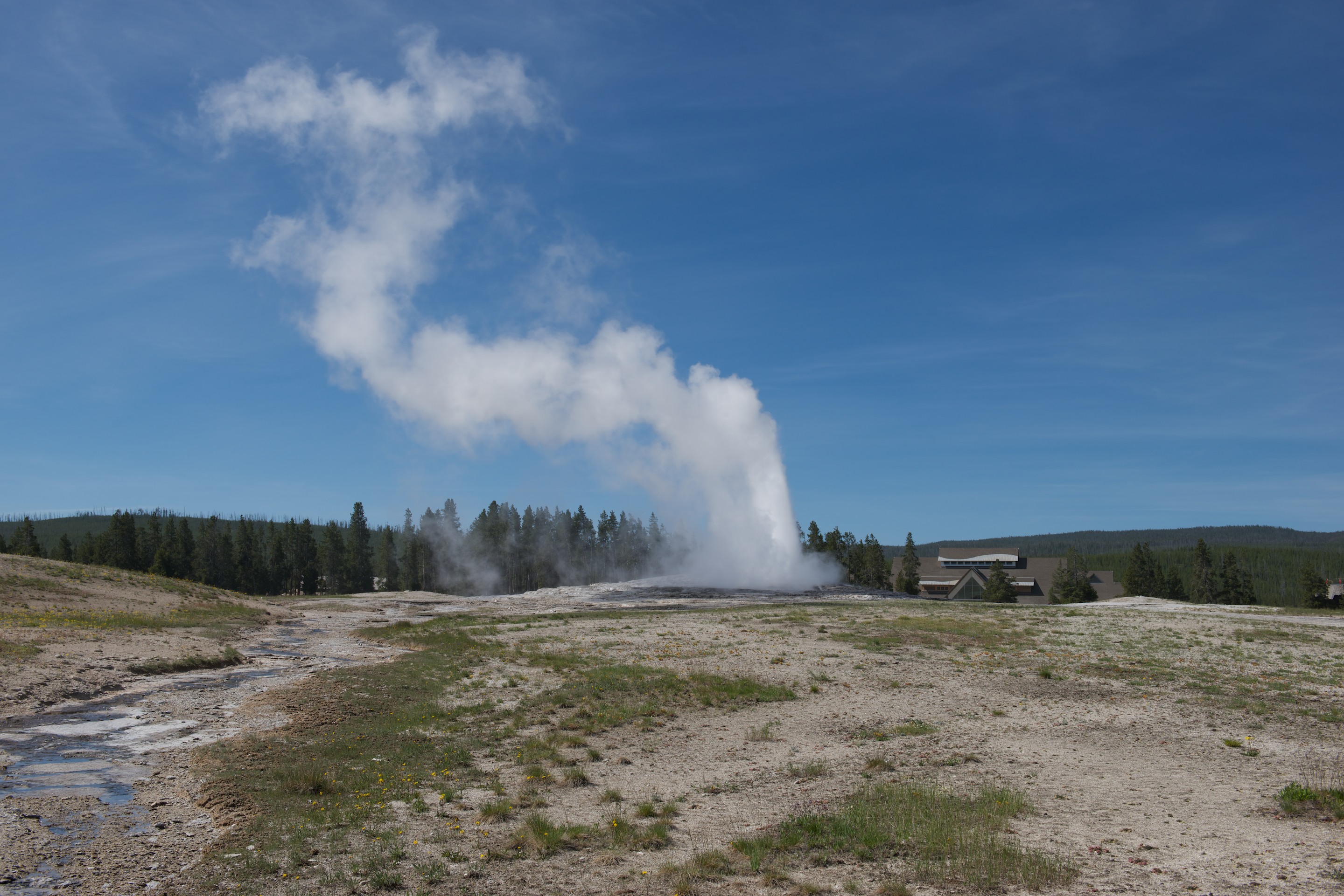
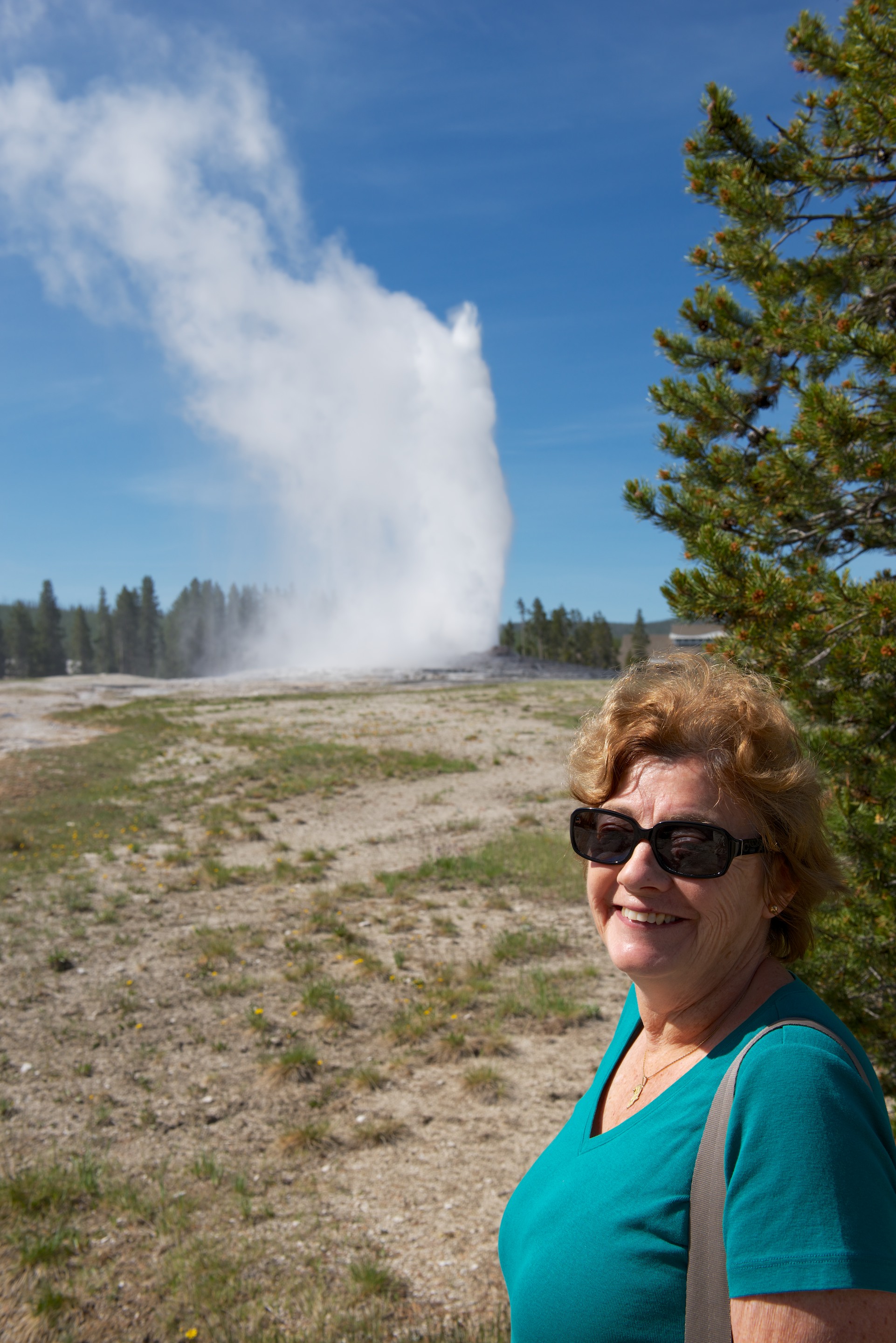
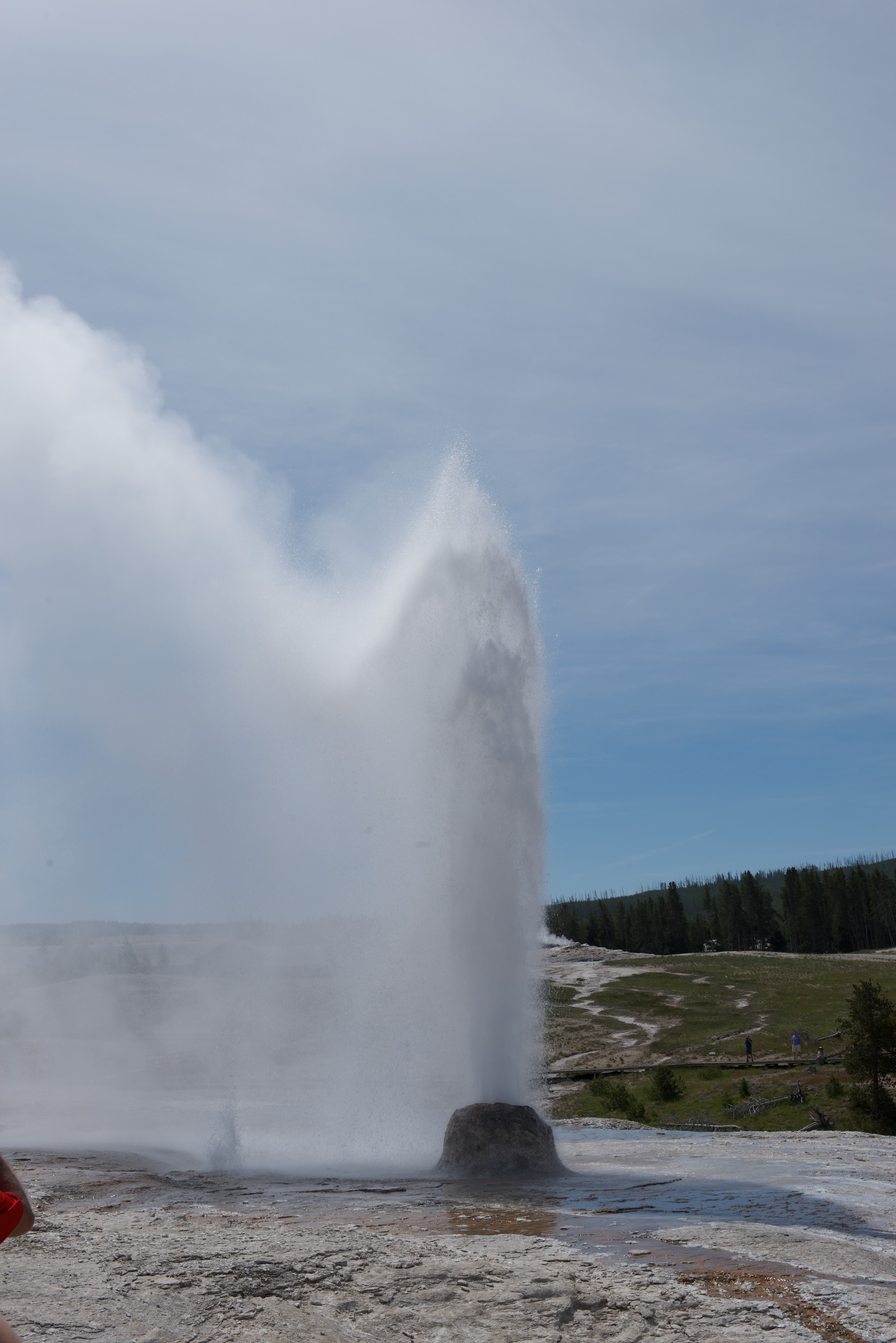
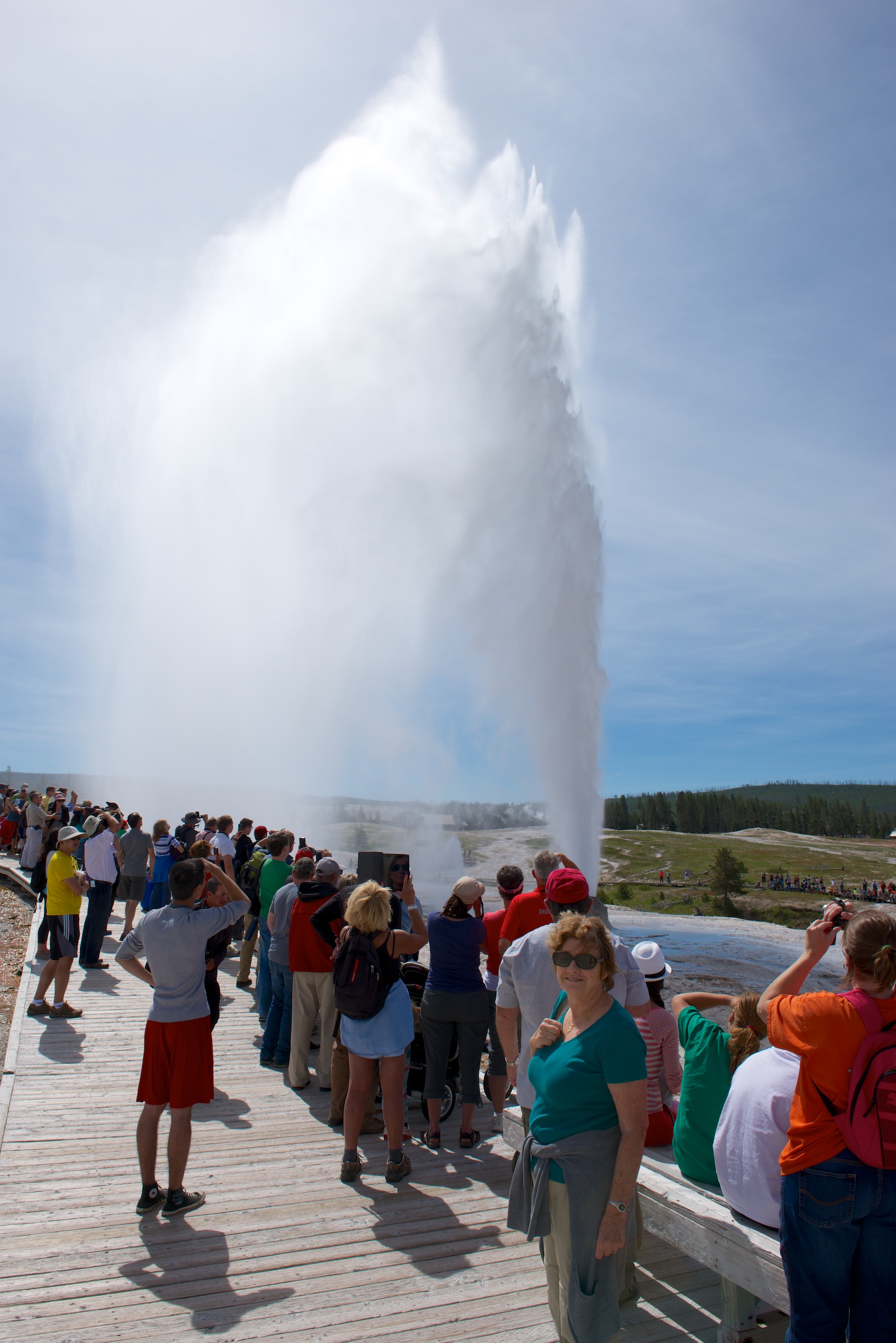
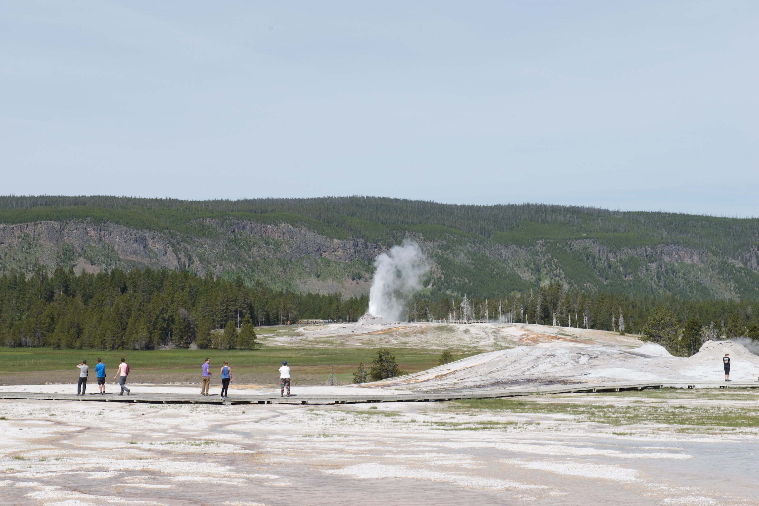
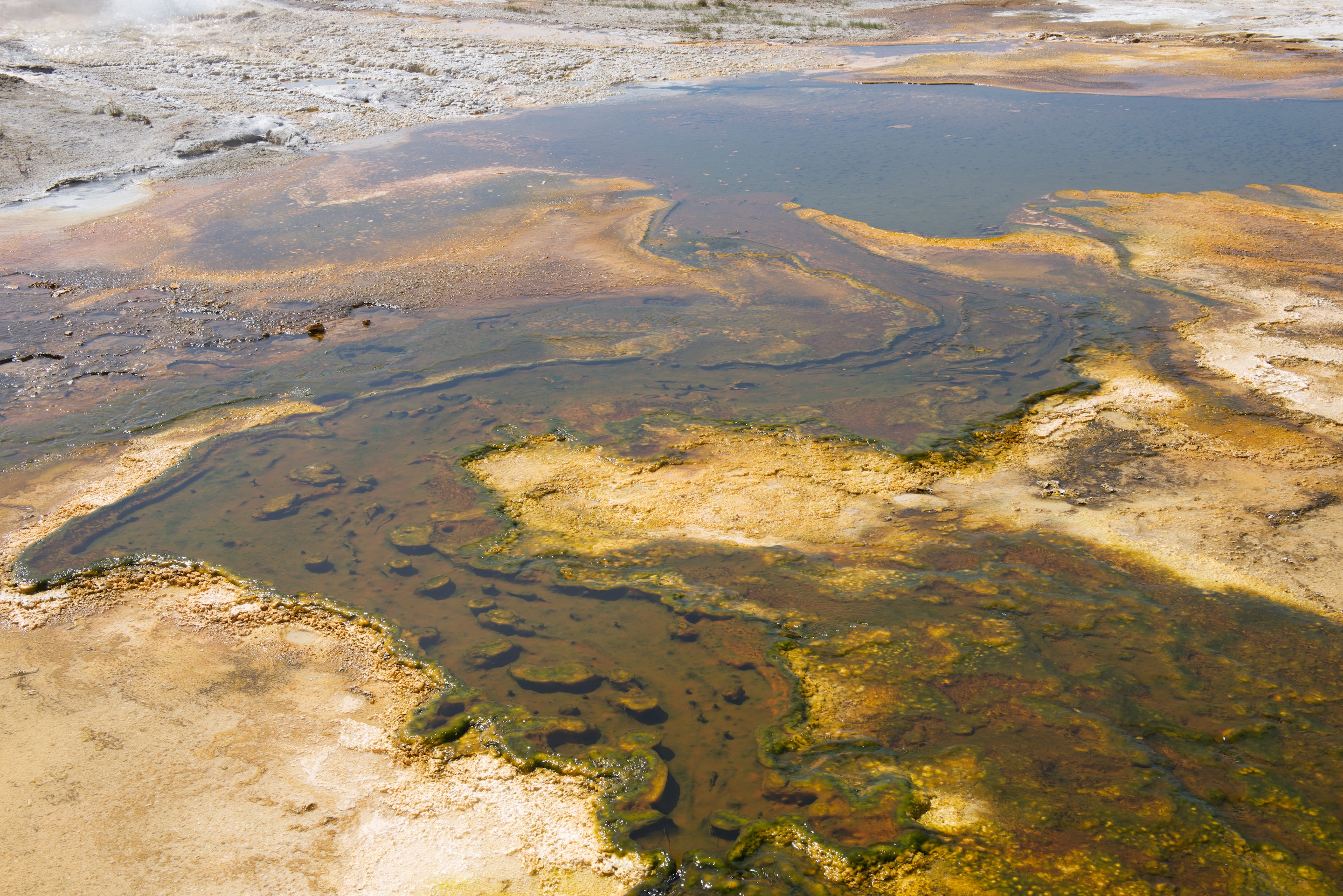
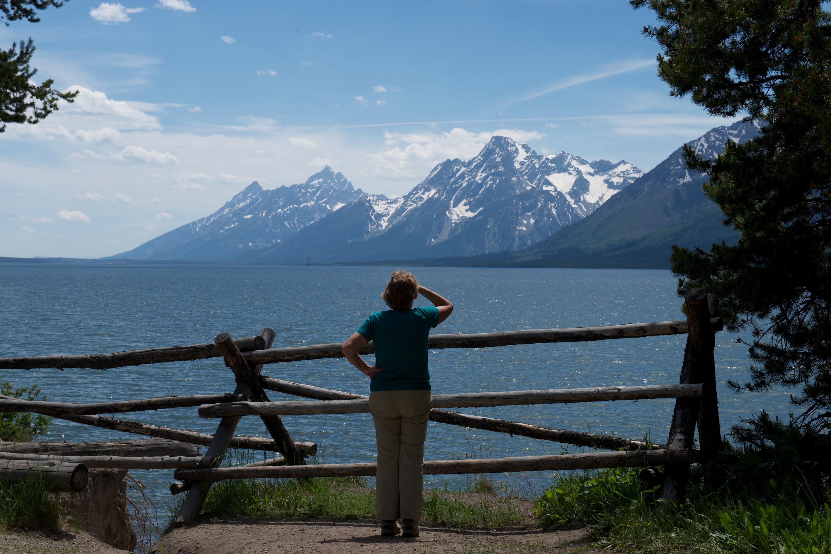
They certainly turn the scenery on here.  Arlington is going to look positively staid after all this!

Pacific Coast Road

The Pacific Coast Road was one of our goals so we set out on Route 1 north of San Francisco.  We did not visit San Francisco on this trip as we had previously stayed there for several days two years ago, before taking the train back to Washington DC.

We had a gloomy first afternoon when we walked over the dunes for our first view of a grey and very windy Pacific Ocean at Bodega Bay. Thereafter, however, we had days of glorious sunshine with which to view rock arches and rocky promontories and a beautiful blue ocean. Working our way up the coast, we stopped in the little town of Jenner at the Jenner Inn for coffee and found the most amazing fruit muffins.  After voraciously consuming one, we had to buy a second!  We also admired the seals (from a distance) basking on the sandy mouth of the river.  It is a popular breeding ground and has been somewhat blocked off to provide the seals with some privacy from walkers.

_ND84331 _ND84327 _ND84334 _ND84344


The Blue Cat was a bit less impressed by the scenery, but he did like toasting in his window, with his tail casually blowing out the window. (This is known as Cat-Under-Glass.)

_ND84346

We were disappointed by the Fort Ross Historic Park, which was closed.  We were able to walk the grounds and see the buildings on the outside but the Visitor Center and all interior access, event the parking, was closed.  Fred was fascinated by this little known Russian colony which farmed and cut timber along some twenty miles of coast to support Russian colonization in Alaska in the early 1800’s.  (http://www.fortross.org) We shall have to do more research on Wikipedia.

_ND84343 _ND84342 _ND84341 _ND84340 _ND84338

We then headed to our next Harvest Host winery, Handleys Wine Cellar.  (http://www.handleycellars.com) An older winery, we liked several of their wines and made our purchases in exchange for a night on the hillside with views of vineyards stretching in all directions.  The winery was on Route 128 which meandered through a redwood forest, and driving there gave us our first views of the coastal giant redwoods, and proved a delightful shady drive.  We completed our tree education by taking the Avenue of the Giants, through the Humboldt National Park, with its stands of giant redwoods.  These are taller than the Giant Sequoia of the Sierra Nevada, though do not live as long.  To be quite honest, tall is relative, especially when the trees as so tall you cannot see the top even staring up!  We continued  heading north and stopped for the evening at the Prairie Creek Redlands State Park, where we had the fortune to take the last space at the Elk campground.  Fred saw elk in the distance but Denise did not.  She has hopes of seeing some as we continue our travels north.

Still heading north, we crossed into Oregon heading for Crater Lake.  Fred had a yearn for ice-cream and we stopped at an amazing ice-cream stand, Phil’s Frosty in Shady Grove, OR.  Fred ordered a small sundae which turned out to be huge!  (http://www.yelp.com/biz/phils-frosty-shady-cove) Denise contented herself with a small cone!  As it was Saturday evening, we started checking for a campsites and found the last site in a small primitive campsite.  It was cool and pleasant if a little noisy.  The temperatures were slowly climbing and being shaded was becoming important!

There’s Gold in them thar hills …

Having been warned that we might be asked to surrender previously purchased fruits at the California state line, Denise dutifully made applesauce from our eating apples and as a result we successfully crossed into California without fuss.  We had no plants to declare, no firewood, and not much of anything else.  We had decided to spend a little time in Gold Country or Eldorado County, home of much gold rush history and full of quiet backroads, so we headed towards the Sonora Pass.

We started out by taking Route 108 across the Sierra Nevada. The views were spectacular and it was a most pleasant drive albeit with 26% grades! If you zoom in and look to the left of the image, you can see the Marine Corps mountain warfare center._ND84271

As the road was sporty it was packed with motorcycles and expensive sports cars,  Lamborghinis and Maseratis for example, were seen within a few minutes of each other.  We stopped counting Porsches!   We looked at several Forestry campsites which were unpleasantly full and were just beginning to despair when we stopped at Boulder Flats.  Almost empty when we arrived, we ended up as the only campers overnighting; a private campsite with a number of boulders and enormous trees.

_ND84277

The next morning our first stop was at the Columbia State Historic Park, near Sonora.  An authentic gold rush town, it was greatly reduced in population after the rush ended but never actually became a ghost town.  Thus it was a prime candidate for renovation and life as a state historic park.  (http://www.parks.ca.gov/?page_id=5520 The usual variety of mid eighteenth century buildings were filled with a wide range of authentic items for view and less authentic ones for sale.  There were lots of costumed interpreters and in fact one of the choice views of the day was a costumed interpreter using the ATM on the side of “ye olde banke”.  We had a great time riding the stagecoach and indeed got held up by a masked bandit!  But it was most interesting to ride behind the four horses as they pulled the coach up and down grades.  It felt very authentic.  We enjoyed a long chat with the driver, while waiting for the next ride to begin.  Purely by chance, we were there during the “Diggins” weekend, a weekend when the tent camp which had existed outside town during the gold rush, is recreated.  We paid our entry fee and wandered through, admiring the men practicing their rifle fire, others prospecting with pickaxes and still more sluicing to find gold.  All the other services, dentists, lawyers and doctors for example, each had their tent.  It was our first day in the eighties since leaving Florida so we retired to an air conditioned restaurant in the historic town for lunch.

_ND84281 _ND84287 _ND84290 _ND84291 _ND84292 _ND84296 _ND84298

Our next stop was the Calaveras Big Tree Park, so Denise could do her tree hugging.  Home to two groves of giant sequoia, we walked the trail to one grove, admiring the huge trees and sad to see the damage caused by tourism during the 1880’s when the trees were first discovered and promoted.  Two large trees are dead or dying because of losing bark or being hollowed out.  We spent the night in the campsite there, surrounded by younger and smaller sequoia and pine, a beautiful spot.

Denise posed on the stump of the “Discovery Tree.” This is the tree that first confirmed the existence of the giant Sequoias, and so, naturally, it was abused and finally felled. The picture gives at least some idea of the size of this mammoth tree._ND84299

It is almost impossible to capture the scale of these tremendous trees. (So Fred gave up trying; you will simply have to visit for yourself.)_ND84307

We paid a visit to the Indian Grinding Rock State Historic Park and enjoyed the museum of Indian life.  There were a few bark houses and the ceremonial round house was being rebuilt.  A short trail around the park did allow for us to stretch our legs.

The site was most unusual, literally thousands of holes worn into the rock._ND84320 _ND84323

Then, as we moved into the winery country, we  decided it was time for a wine tasting.  We quickly learned one basic fact and that is that most wineries are not open on Mondays.  In fact, if you plan to visit the smaller wineries in any of the wine areas, you should plan on going on Friday, Saturday or Sunday.  We researched our Harvest Host listing and found one that looked quite close that was open on a Monday.  So, off we went after putting the address into the GPS.  We drove and we drove down narrow country roads which twisted and turned over hills and down dales (as they say in the UK).  Sometimes the road was so narrow there was no line down the middle and there were appropriate pull off spaces to pass another vehicle.  Practice for UK (especially Devon) country roads!  We did meet the propane gas truck, though fortunately not in the worst part!  The 18 miles probably took us two hours to drive, but we saw some lovely scenery, and finally found our winery, DK Cellars, sitting on top of a mountain with a lovely view.  The owner was there, so we had a great tasting, great discussions, and bought three bottles of wine.  And of course we set ourselves up and spent the night. (http://dkcellars.com)

The Loneliest Road

We have camped at over 8,000 feet for ten days or more and have been rained on, hailed on, and snowed on! So instead of heading further north, we decided the time had come to head west.  California has a drought at the moment, so maybe if we bring only a little rain, they will be happy.  Maybe we shall see the sun also!  So, we set off on the Loneliest Road, US Highway Route 50.  Nevada here we come!

Our road out of the campsite at Cathedral Valley proved to be very rocky in places but we made it without difficulty and found our way to Route 50 and our first stop, the Great Basin National Park.  Crossing the desert, the landscape seemed amazingly green.  Obviously it has been raining here also, in fact, there was some water in Lake Sevier, shown on the map as a dry lake bed.  So we stopped to take a photo!

_ND84146

As we drove west, we watched fascinating thunderstorms developing all around us and we finally drove through one, which helped to remove some of the mud from the truck (remnants of the Hell’s Backbone drive).

_ND84147

After a quick stop at the Visitor Center for camping advice, we found ourselves a lovely spot in one of the more primitive campgrounds at about 7,500 feet, for two nights.  We settled in with one small problem.  The electric steps up to the camper no longer worked.  Fortunately we hauled out our trusty step ladder and got ourselves organized as another thunderstorm hit.  So much for arid desert. And so much for clear, starry skies. (http://www.nps.gov/grba/index.htm)

As it was sunny the next morning, we headed up the Mt. Wheeler Scenic Drive to the trailhead of the Bristlecone Pine Trail, which Denise wanted to hike.  Ndeke Luka is shorter than the 24 foot limit fortunately, although the road was not, in fact, difficult. There were stunning views of the mountain and across the Basin on every curve.  Mt. Wheeler is 13,065 feet and was well snow capped, and, to Denise’s disappointment, the Bristlecone Pine Trail was equally snow covered.  We would have needed snow spikes to feel comfortable in the snow and ice, so we headed back down, stopping to make espresso at one overlook and taking photos as we went.

_ND84154

Our next stop was the Lehman Caverns Visitors Center.  Rangers lead guided tours of the caverns under the mountain and we signed up for the next available 90 minute tour.  (There are also 60 minute tours.)  Having visited Carlsbad Caverns last year, Denise had to have her shoes disinfected, (a minor procedure), and Fred wiped his camera with disinfecting wipes.  Then we set off.  It was a fascinating tour with lots of information provided by a knowledgeable ranger.  We saw the “shield” formations, which are rare, though apparently Luray in Virginia has them!  It was also low key, lacking the enormous scale of Carlsbad. The passageways were narrow and it was hard to avoid touching a formation or hitting one’s head.  It felt very personal and low key and allowed one to get much closer to the flowstone.

Needless to say, it was pouring with rain when we came out. We compensated by bolting to the tiny cafe for a piece of pie and a chat with the ladies who worked there.

Our next stop was Ely, Nevada for some essential camper steps maintenance, in order:

— Auto parts store for a new fuse for the steps. (We now have a lifetime selection.)

— Car wash. ($15 to spray most of Utah off of the truck.)

— Diesel station to top up.

— Coffee (and flower) shop for an espresso. (To restore the soul.)

— And finally, supermarket (the only one for 250 miles) for veggies and a re-grease of the steps and retractable running boards.

With our camper steps fully functional again, we took a wander down Ely’s main street. Like many small western towns, this was a flashback to the 1950’s and the end of the big mining operations in the area. Purely by accident, we stumbled upon a gem of a Chinese restaurant, the “Happy Garden.” Expectations to the contrary, all of the dishes were very fresh and served piping hot. (http://www.yelp.com/biz/happy-garden-ely) Chatting with the owner, we were reminded of the tremendous, but oft underreported, role of the Chinese in the development of the American west, especially the construction of the Central Pacific railroad. All in all Ely was a wonderful stopover.

The rest of our time on the Loneliest Road proved to be interesting!  At times there was quite a lot of traffic so it was not lonely at all.  At other times, it seemed like we were the only people on it.  We camped at the Hickison Petroglyph BLM Recreation Area where we took the trail to see the petroglyphs and enjoyed a lovely free campsite.

_ND84180


Looking west from Hickison Summit. Frémont crossed very near here._ND84184


Historical grafitti? Look closely at the picture. You can just see a “JR” and “1858” inscribed in the stone. Believed to be original._ND84182

We also saw the petroglyphs at Grimes Point Archeological Site, all inscribed on boulders and some dating back multiple thousand years.  All are weathering.  One wonders how long they will be visible. Grimes Point is right next to the Fallon Naval Air Station and there is quite a juxtaposition between ancient petroglyphs and modern jet fighters.

_ND84206 _ND84207 _ND84209

Everyone has heard of the fabled Pony Express, the Butterfield stage coaches, and finally, Wells Fargo and Company. (Remember all of those Westerns from the ’50’s and ’60’s, “Tales of Wells Fargo” and the rest?) We stopped at two sites to view remains of the stations dealing with the Pony Express and the Butterfield Stage at Cold Springs and Sand Springs.

_ND84189

Ruins of Butterfield Stage station and repair facility at Cold Springs. Looking West along US 50._ND84193

The ruins at the Sand Springs site were especially interesting as they were not fenced off and you can see the individual rooms.  Sir Richard Burton, the famous African and Middle Eastern explorer had several uncomplimentary comments about the Sand Springs station. The amazing sounds of the Sand Mountain, a huge dune standing all by itself about a mile away, were inaudible as it was full of ATVs.  (The dune is supposed to sing when vibrations are at the correct level.)

_ND84197_ND84200  _ND84199

Our final visit in Nevada was to Virginia City, known for its gold and silver and as one of the settings for “Bonanza”, the TV show.  Now a major tourist attraction, it still retains a certain amount of charm with wooden sidewalks, original buildings and saloons. At the same time, despite a population of under 700 (down from 28,000 at its peak), Virginia City boasts very impressive and modern looking schools and a public swimming pool. All in all, a fascinating visit, especially when you realize that the town is not a movie set, but was the epicenter of an enormous mining enterprise. All of the mountains for miles around are marked with piles of spoil and there are even mines right on the city streets.


Virginia City is the terminus of a short line, the Virginia and Truckee, opened in 1869 to take the ore down the mountain. (http://www.virginiatruckee.com) It ran 45 trains a day during the boom and the Virginia City sector was closed in the 1930’s. Reopened in 1975 they run tourist trains to Gold Hill, three miles down the track, using diesels, steam engines and 100 year old carriages.

_ND84232

Denise sees the light at the end of the tunnel._ND84251

The train runs to Gold Hill._ND84243

Our train was pulled by a diesel, but the steam engine arrived shortly after our return after pulling a train from Carson City.  N.B. The steam run to or from Carson City is the trip you REALLY want to take. Worth the effort to research the schedule._ND84263 _ND84265

After a great barbecue sandwich for lunch, (http://www.vcjerky.com) we headed for California.

A last view on the road back down to the valley. Everywhere you look there are great views, and huge piles of spoil from the mines._ND84270