(With apologies to the the band, “Chicago.”)
We have never been in a state that made it so difficult to tell the time! Most of Arizona is NOT on Daylight Savings Time, but much of Arizona is on Navajo Reservations and they ARE on Daylight Savings Time. Just to make it more interesting, the Hopi reservations are on Arizona time. But fortunately, we have not been seriously early or late despite the challenges! This is of course, one of the advantages of camping! One morning we left the campsite in Utah, drove four miles down the road back into Arizona and gained an hour and then lost it again on our return to the campsite! Endless opportunities for confusion.
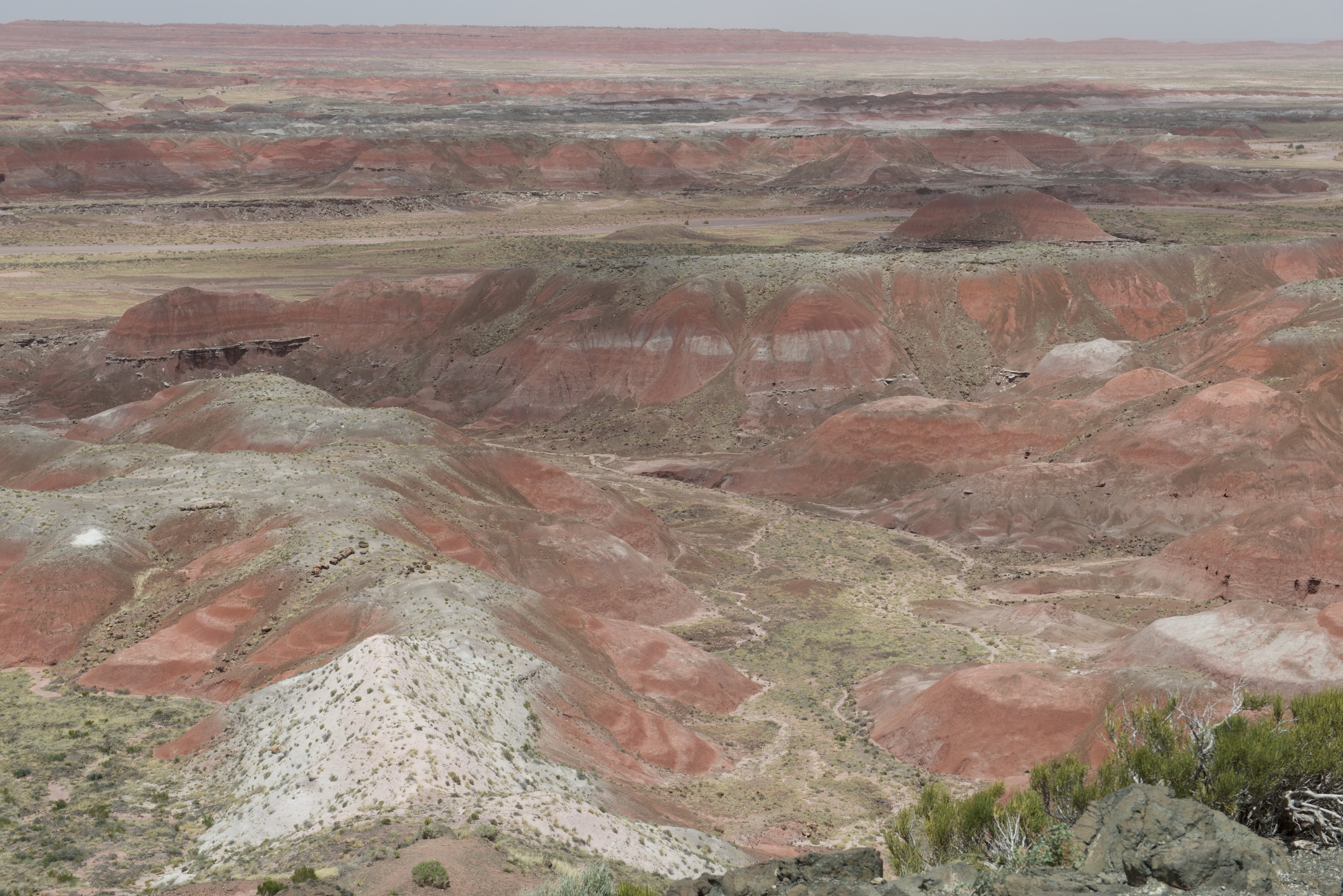
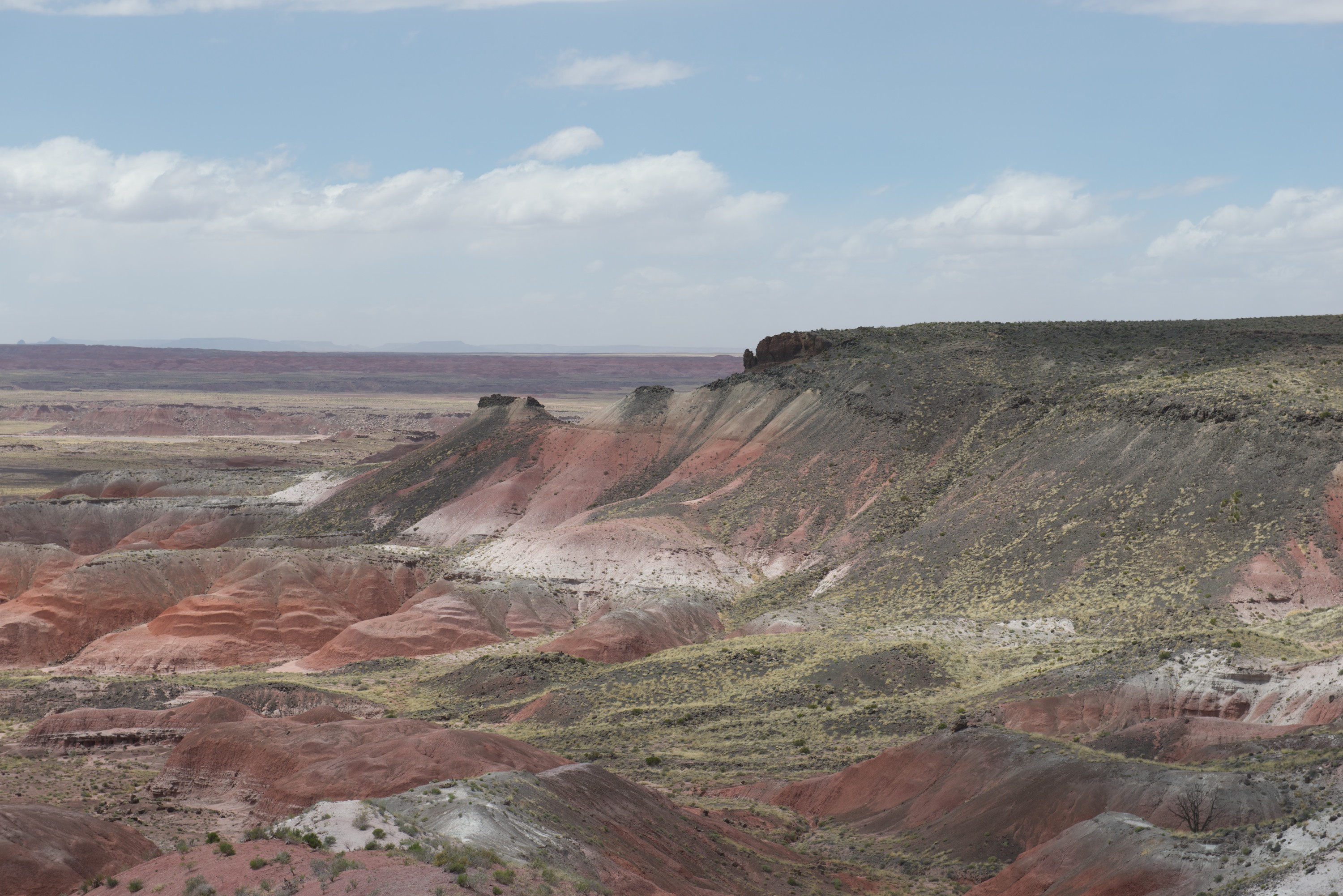
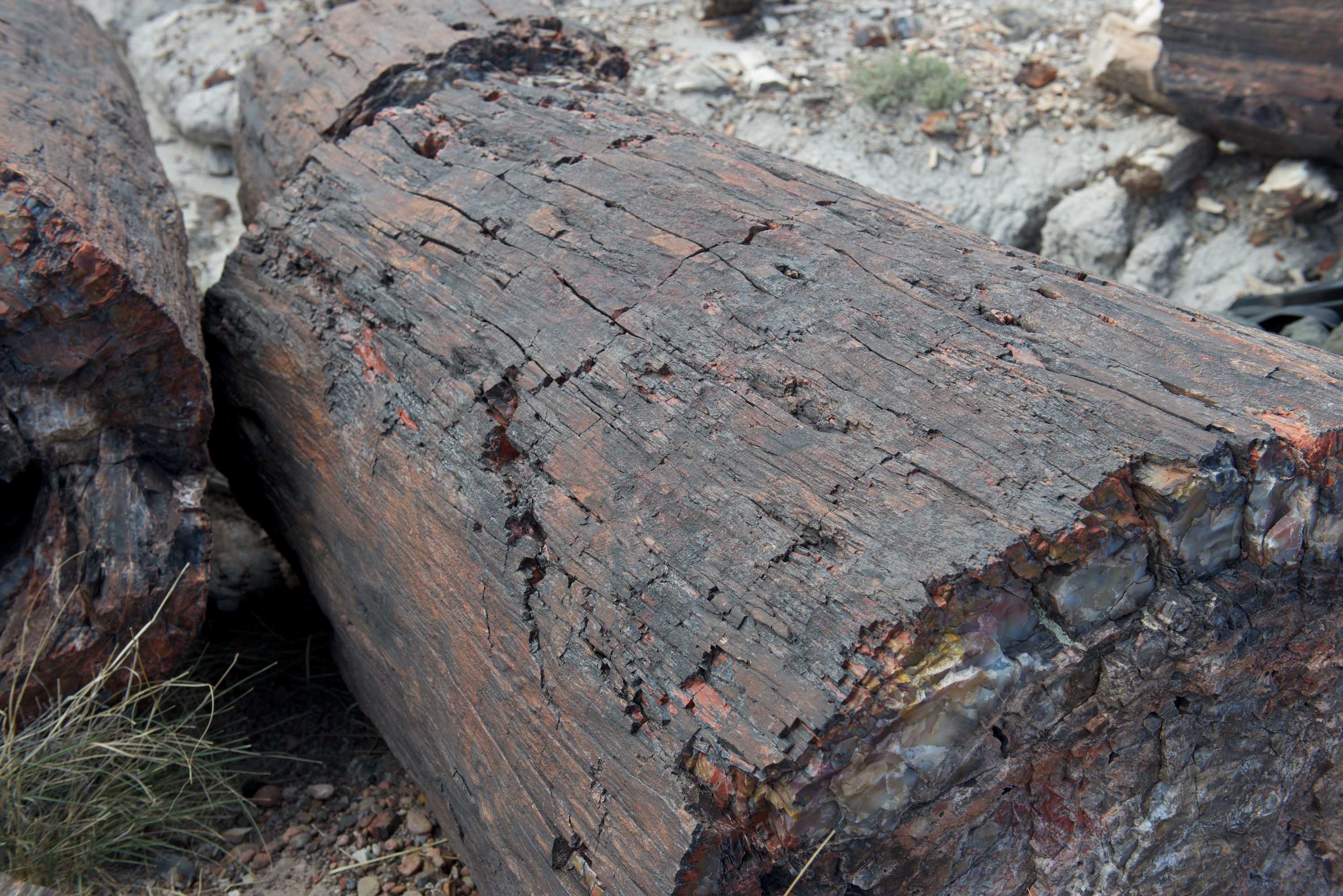
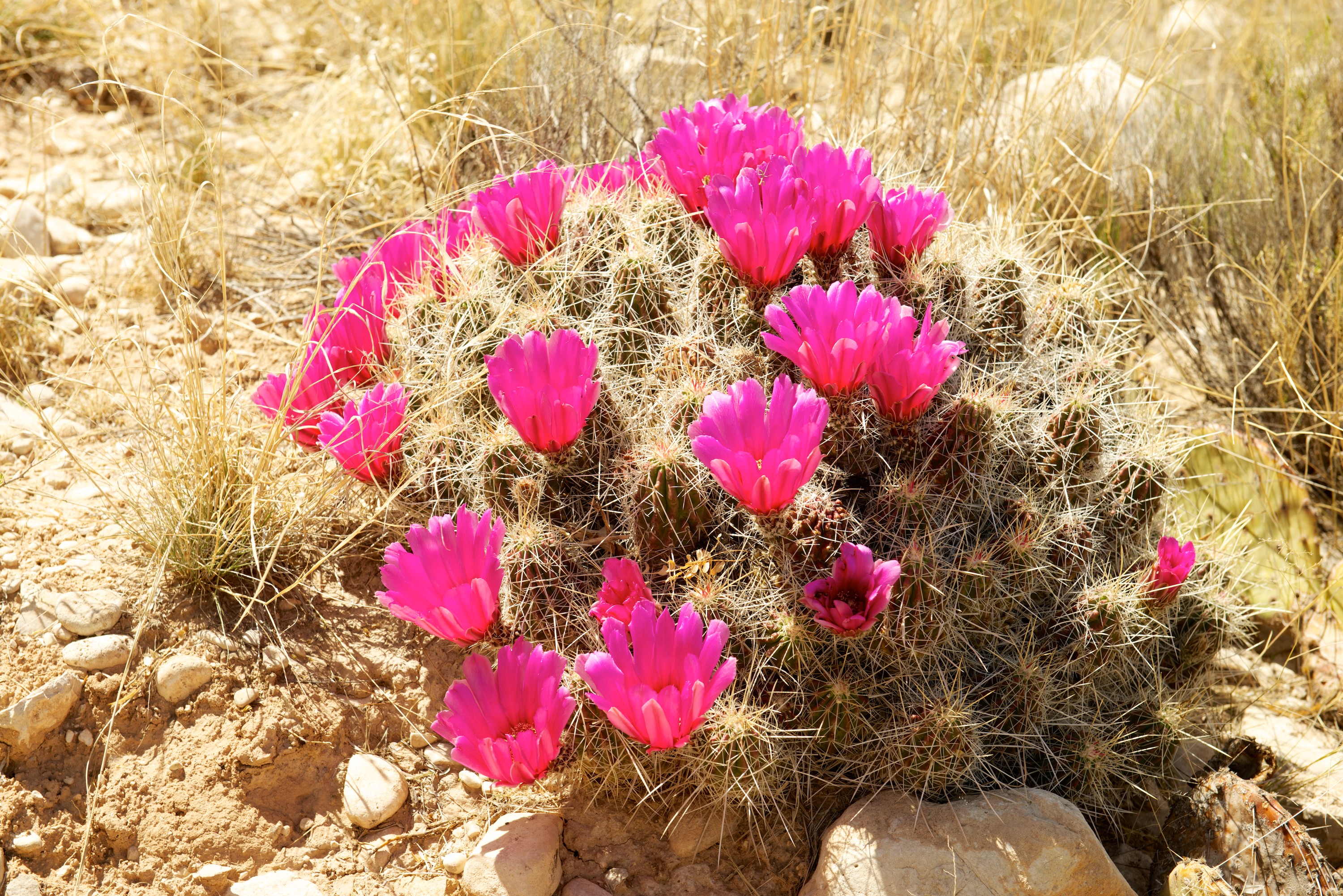
En route to Flagstaff, we made a stop at the Painted Desert and Petrified Desert National Park. The colors of the desert were a bit muted due to the dust, stirred up by the howling gale, which was exceptionally strong that day, close to 50 mph. Talk about blowing a hoolie! We did brave the wind to see some wonderful petrified wood with its incredible colors, but I cannot say it was a pleasant experience.

 Nifty custom built camper on an Iveco “Daily” 4×4. Owned by a charming French couple whom we met again at Sunset Crater.

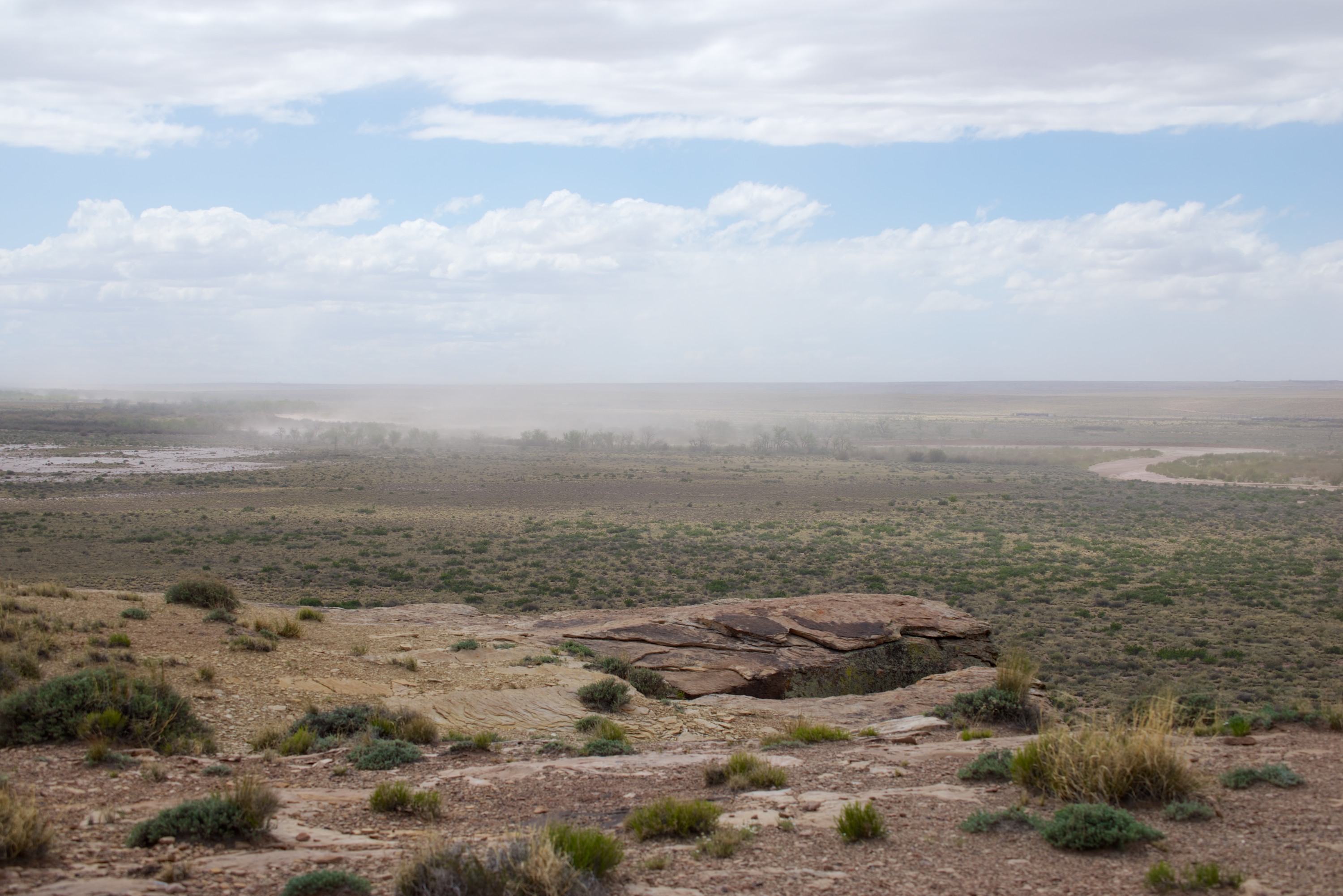
 Dust blowing in the wind.


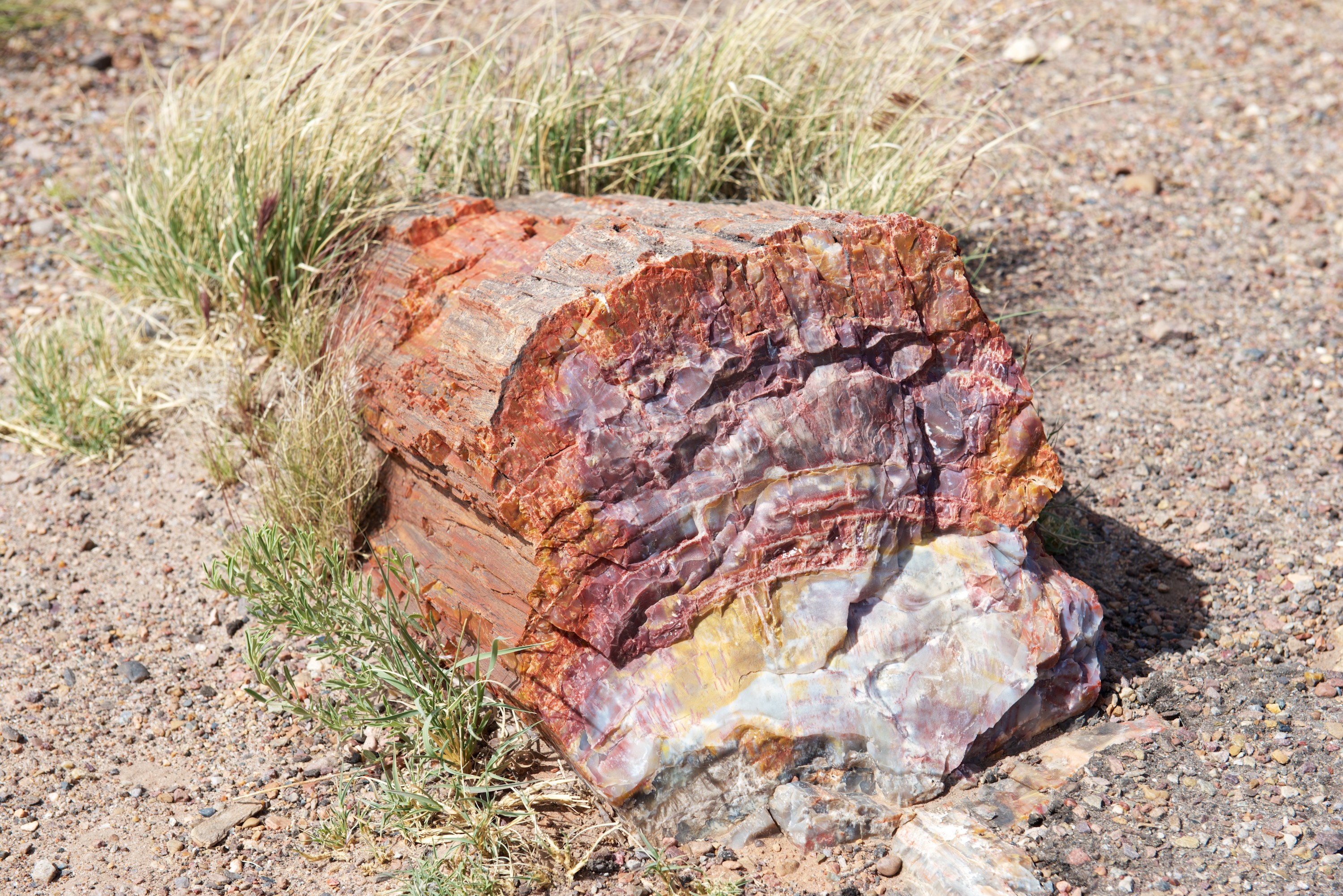
 You can really see the wood on the outside of this log.
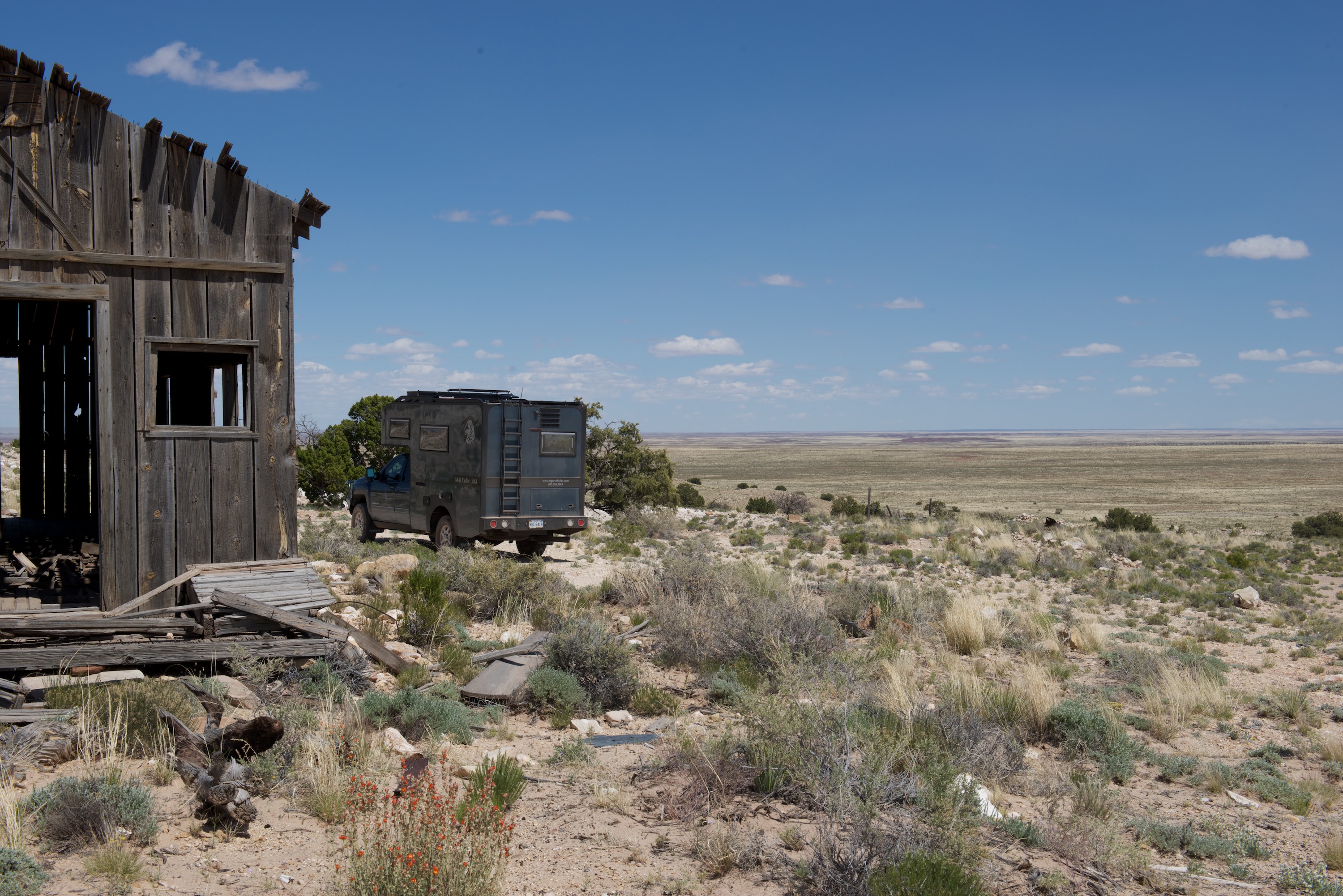
On the last leg of our trip to Flagstaff, we made a little detour, to Meteor Crater. When Fred was a child, he crossed the United States twice by car, and both times drove right by the crater without stopping. This time, he was DETERMINED to see the thing. And from the south side. (Which requires a small scramble over the rocks to an old mine site.)

 Looking north towards the visitor center.
 Looking west towards the San Francisco mountains, over Flagstaff.
Once in Flagstaff, we needed to prepare both ourselves and Ndeke Luka for the Overland Expo, so we headed to the KOA campsite which was in a good location. We found it full of various campers and off road vehicles heading to Overland Expo, including Robinson Fuso and its owners, Jon and Emily Turner, with whom Fred had corresponded but had never met. So, it was fun to have company while we organized laundry and cleaned the Tiger. We went first to a car wash with large bays, then cleaned inside to make Ndeke Luka presentable. We did spend a day in Flagstaff learning both the local history by visiting the Riordan Historic Mansion, built by a local family who owned the lumber mill, and the geological history by visiting the Sunset Crater, a cinder cone just outside town. Flagstaff sits on the slopes of the San Francisco mountains, the remnants of a mega volcano that blew in prehistory and the whole area is a mass of lava and tuff and contains many craters. None are active, for now.
As we travel it is fun to meet and re-meet acquaintances. We met a French couple at Painted Desert and again at the Sunset Crater, where they were staying in the campsite. They too were impressed with the crater.
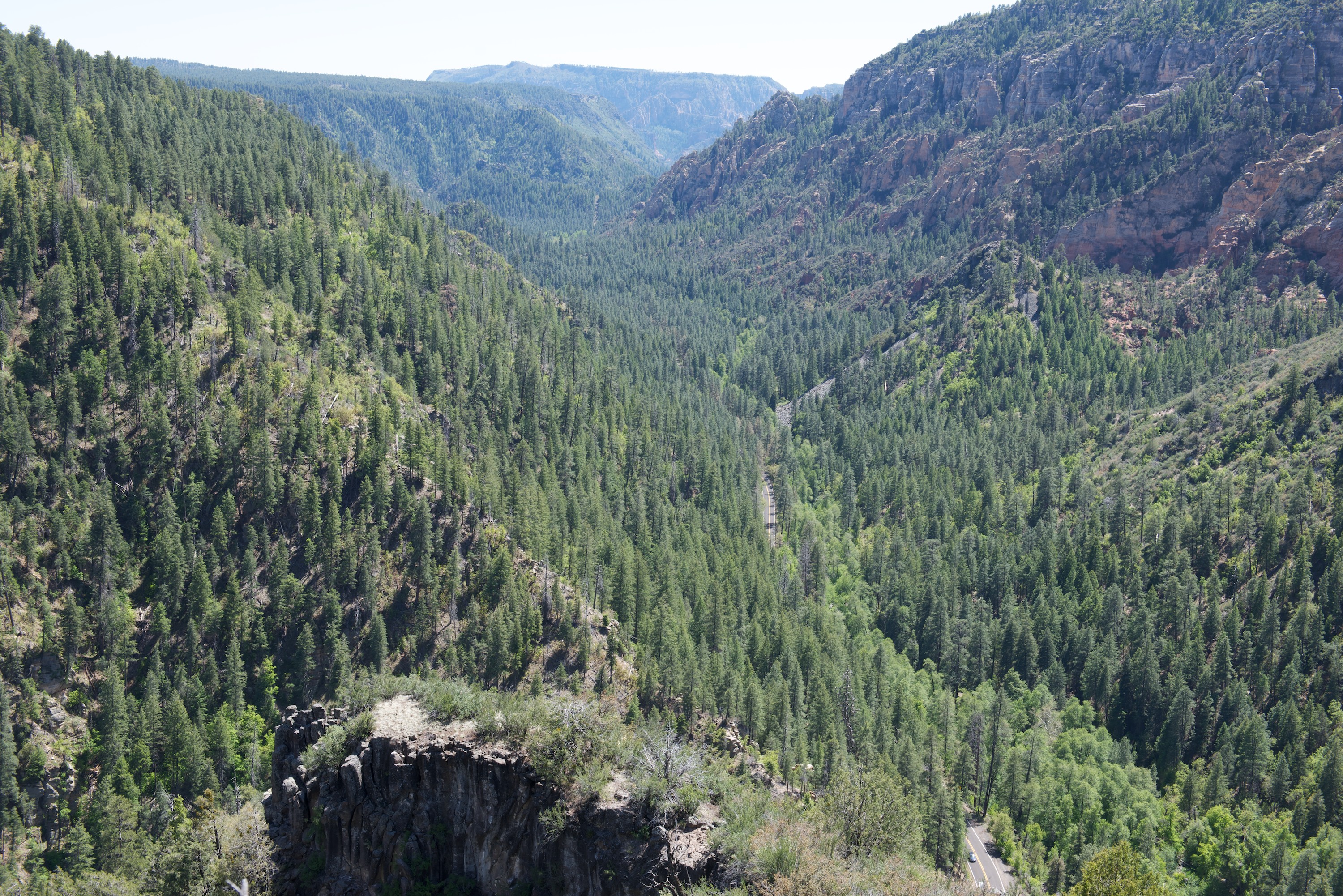
We also made a day trip to Sedona. The town was highly touristy, as we expected, but we did get a great pizza and salad for lunch. The drive up and down the Oak Canyon road was fun and the views from the top were great.


(Right after we left the Flagstaff area, there was a terrible fire in the Oak Canyon area. We saw the smoke from the Grand Canyon.)
With a clean camper and a larder full of food (not to mention the fridge), we set off for Mormon Lake Lodge, site of the Overland Expo. This year’s event was very successful with several thousand attendees. We parked in the Provan Tiger section, along with a Bengal that Mark Guild had brought and a Malayan LT. Fred gave four presentations and was also took part in two roundtables, so Denise was responsible for showing our Malayan HT. Each day produced a steady stream of interested persons, so it was a busy time and quite hard work! However, all the visitors seemed to like the vehicles and were appreciative.
 Tigers, old style and new.

Norlina Bleu, handing out Tiger literature. We had to explain that the cat was NOT included in the price.
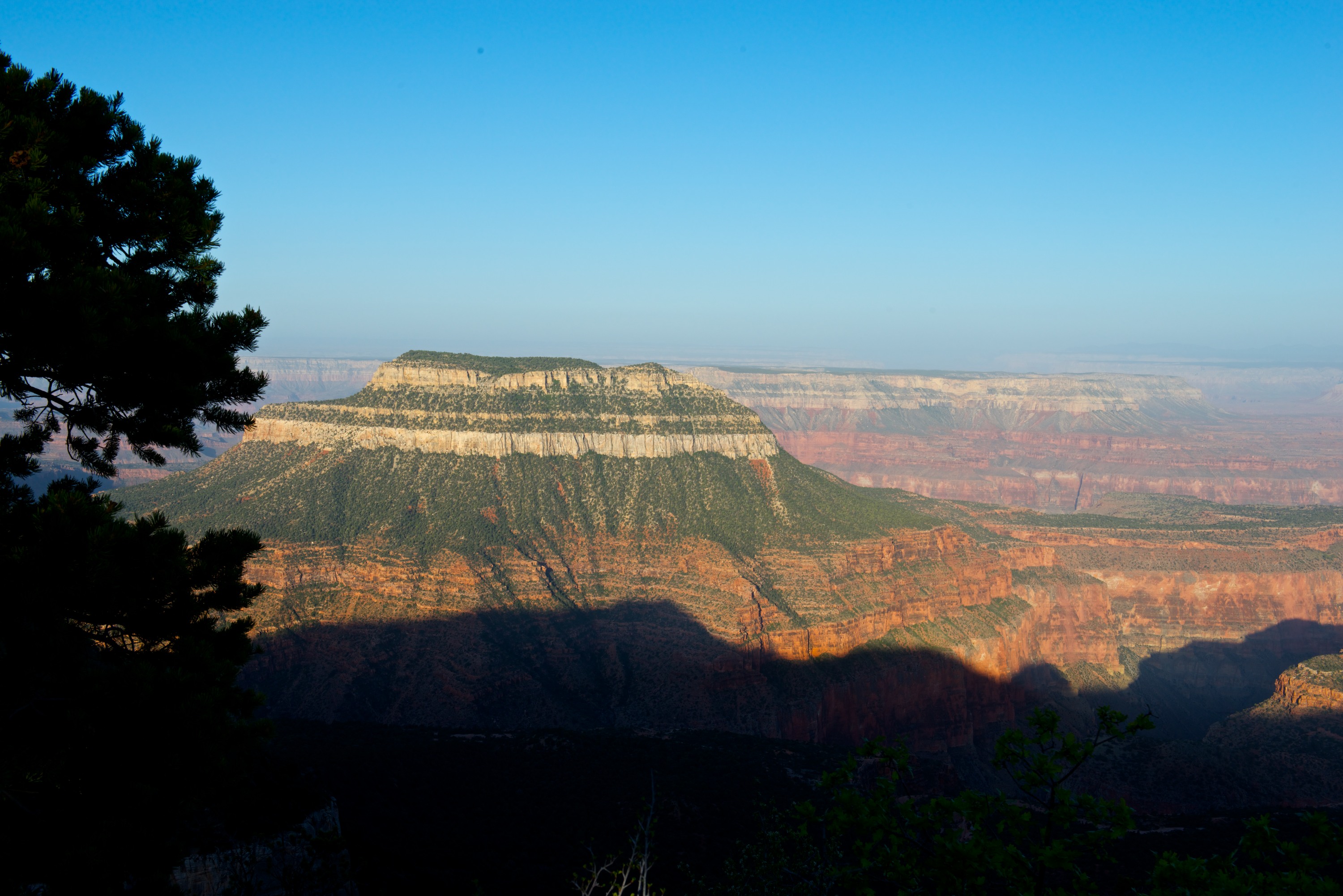
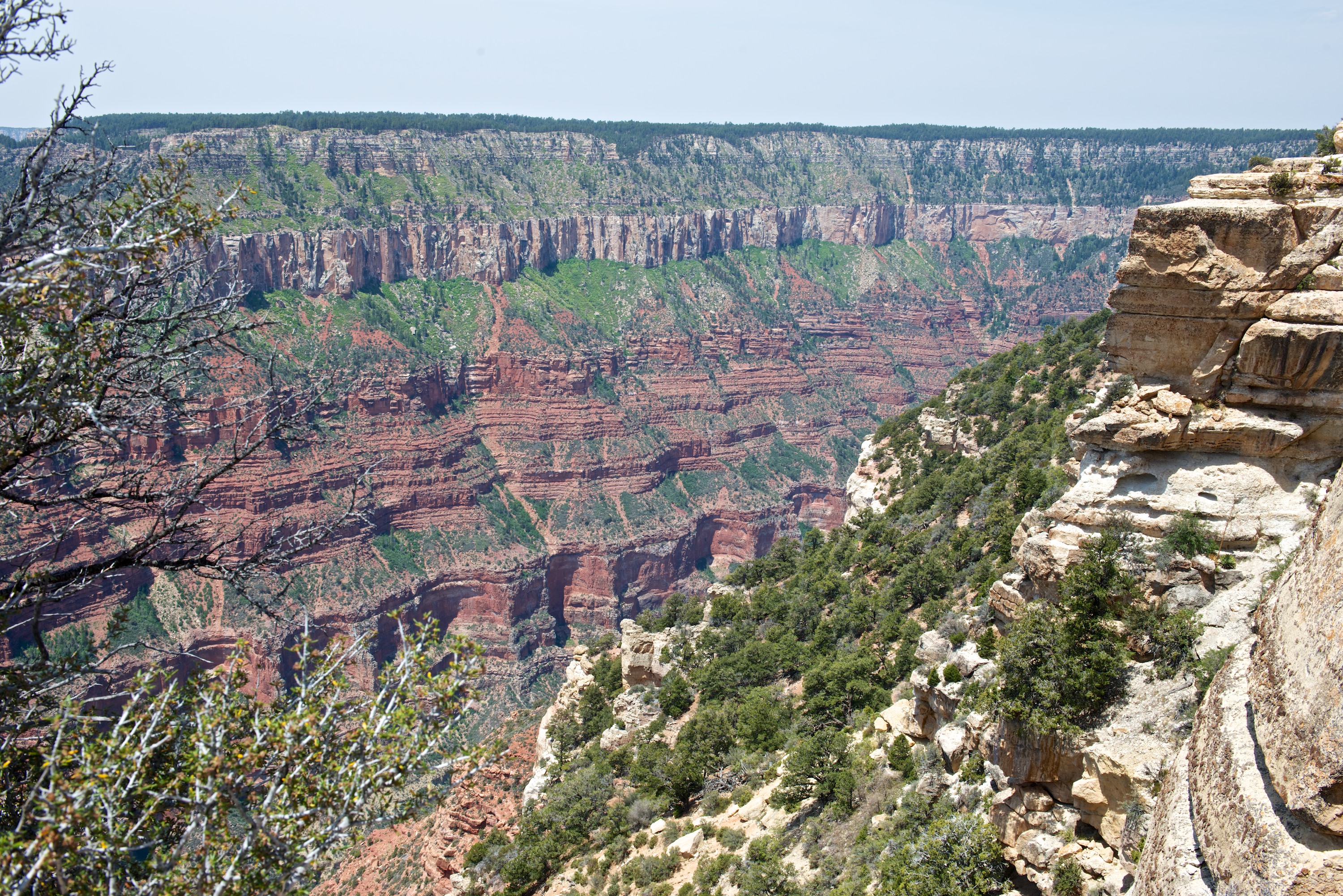
Along with Robinson Fuso (and Jon and Emily) we then headed north to the Grand Canyon. (http://robinsonfuso.com/) We could not get a reservation for the North Rim Campsite, nor Point Sublime, but after a little research, we went into the Kaibab National Forest and camped on two of the Points on the Rainbow Rim Trail, overlooking the Canyon. With chairs placed in full view of the Canyon, it proved very pleasant to sit and enjoy an evening glass of wine. Our first campsite on North Timp Point was great. Our second, at Parissawampitts was a little more challenging but worked after Emily found a wonderful campsite. We enjoyed some great dirt roads, some walking and lots of great company. Denise also thoroughly enjoyed a one hour mule ride along the canyon rim on a greedy mule called Fancy.


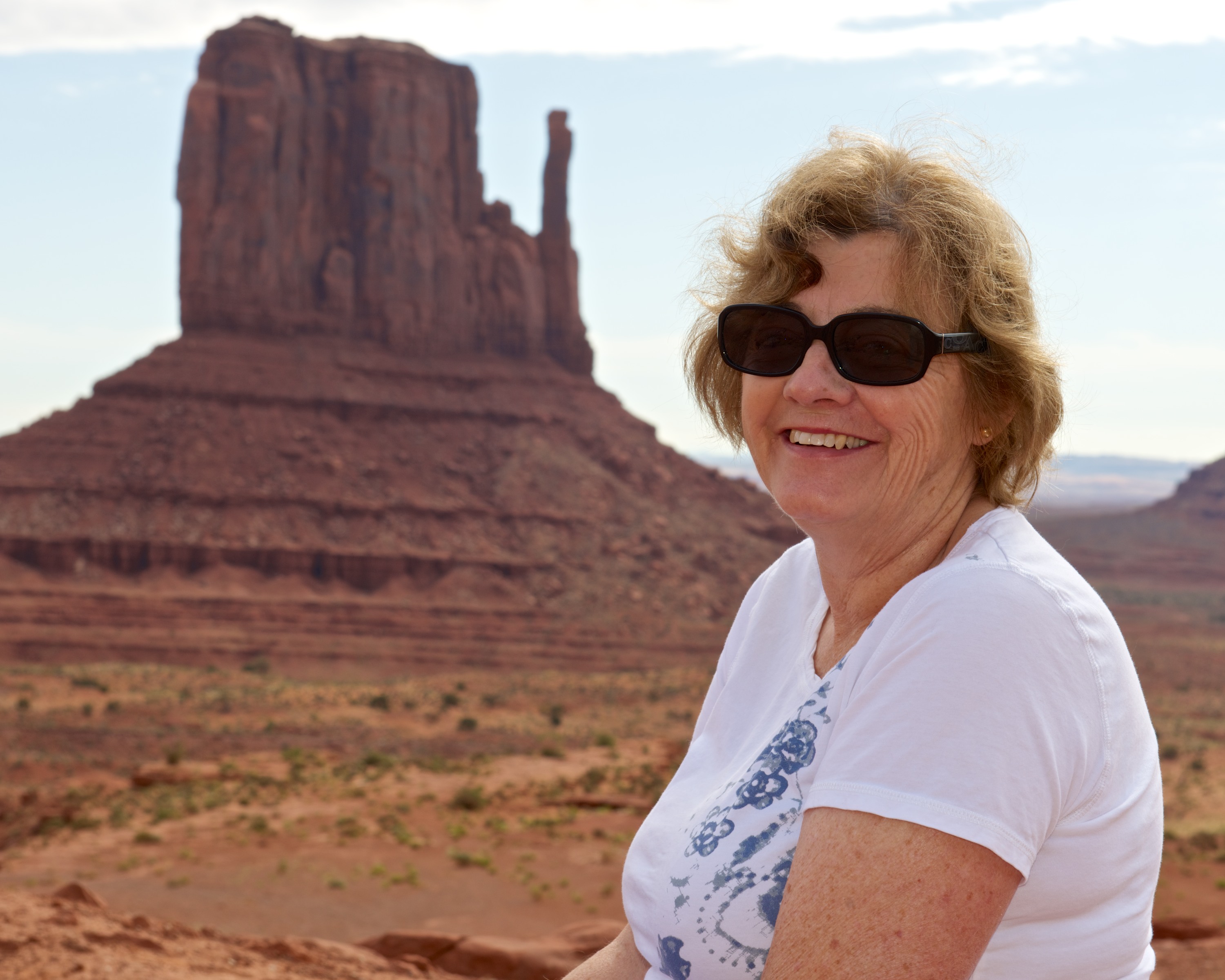
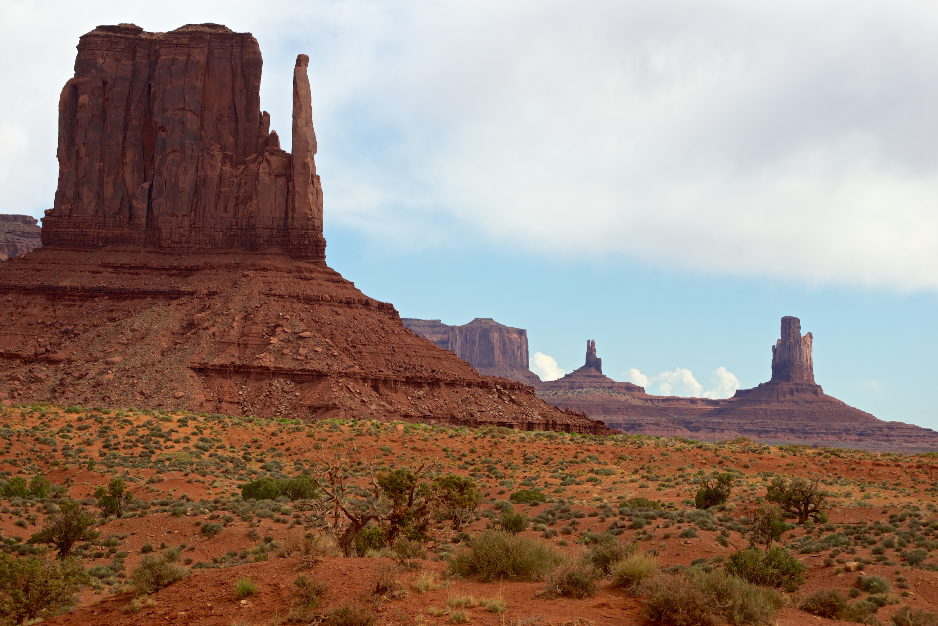
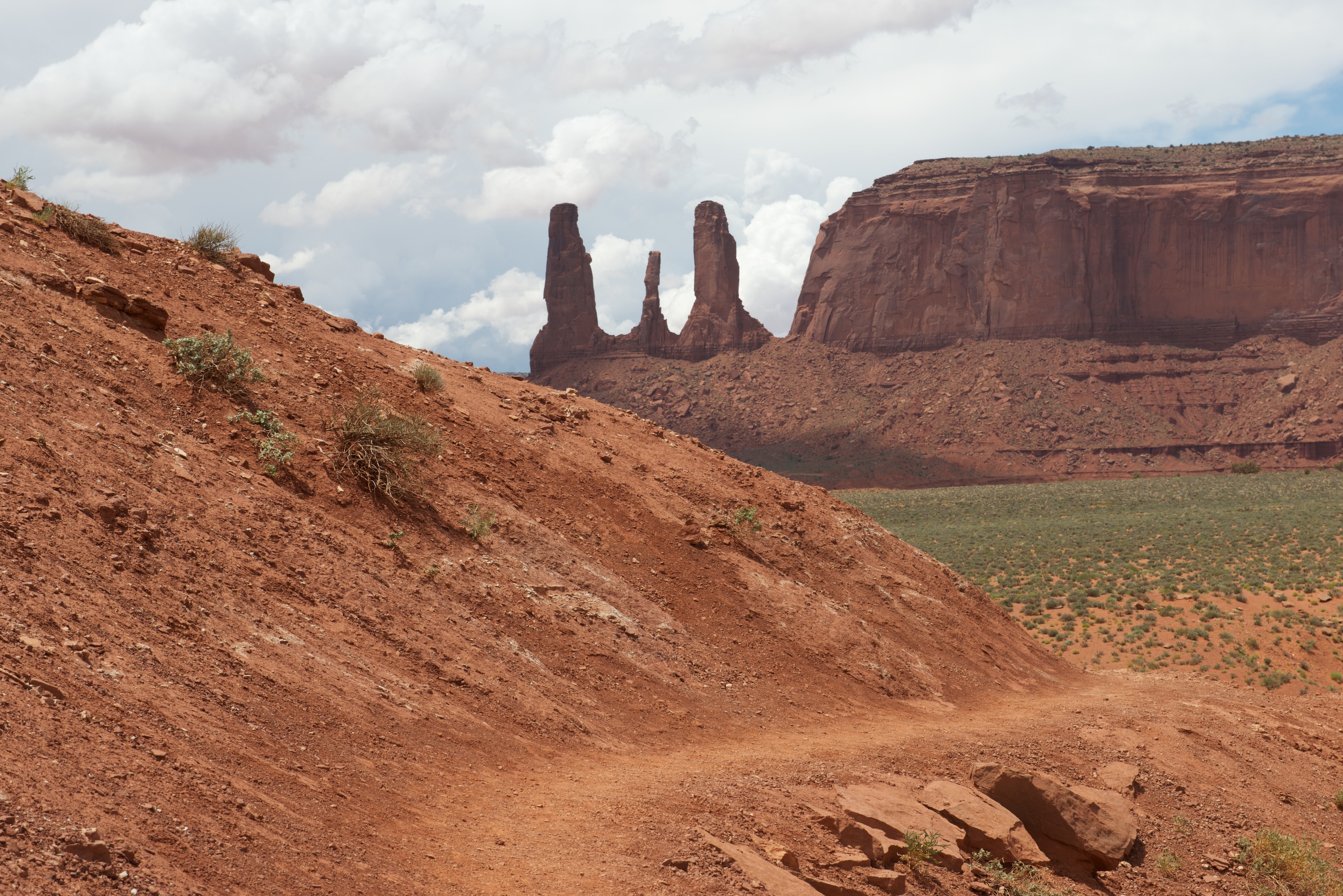
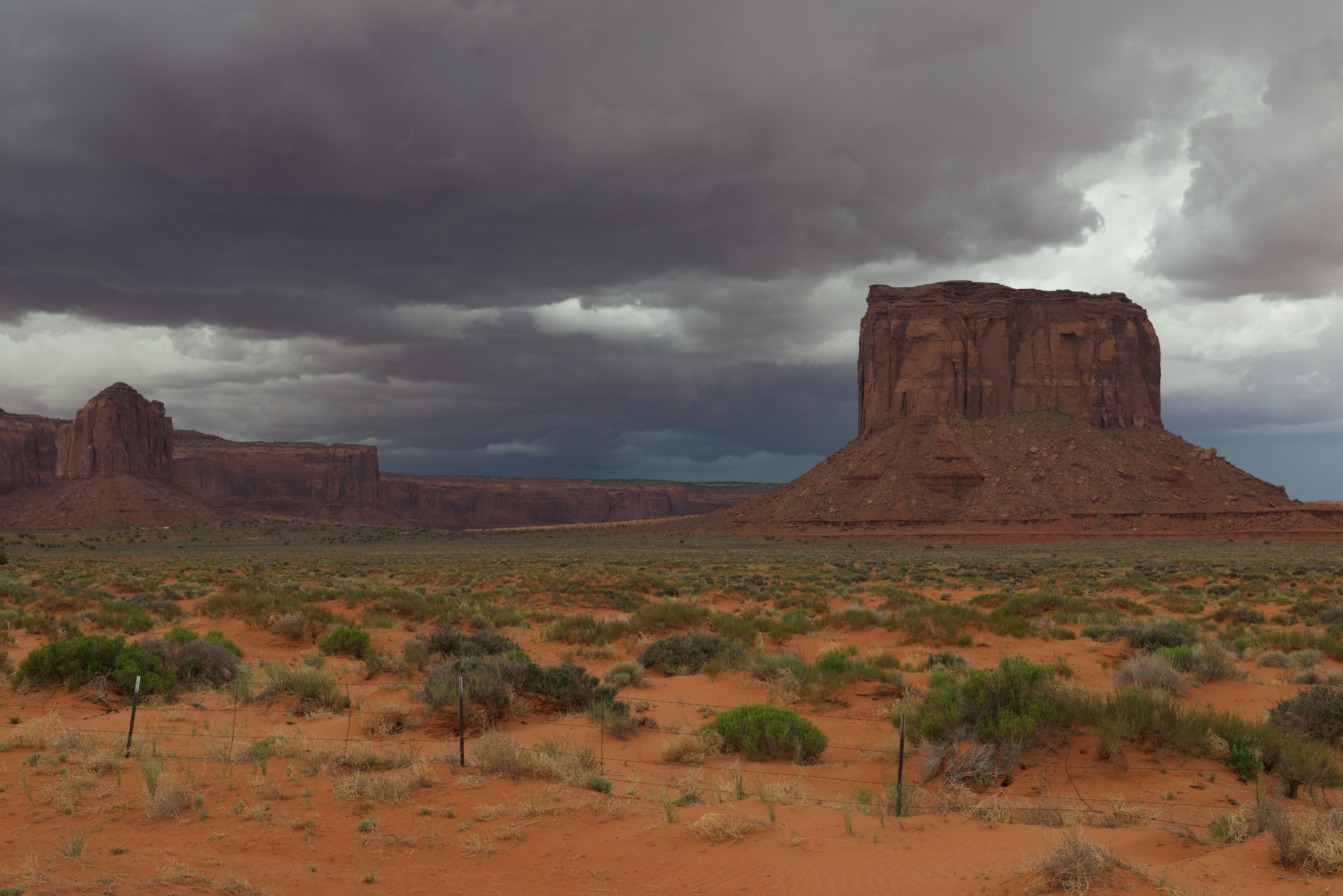
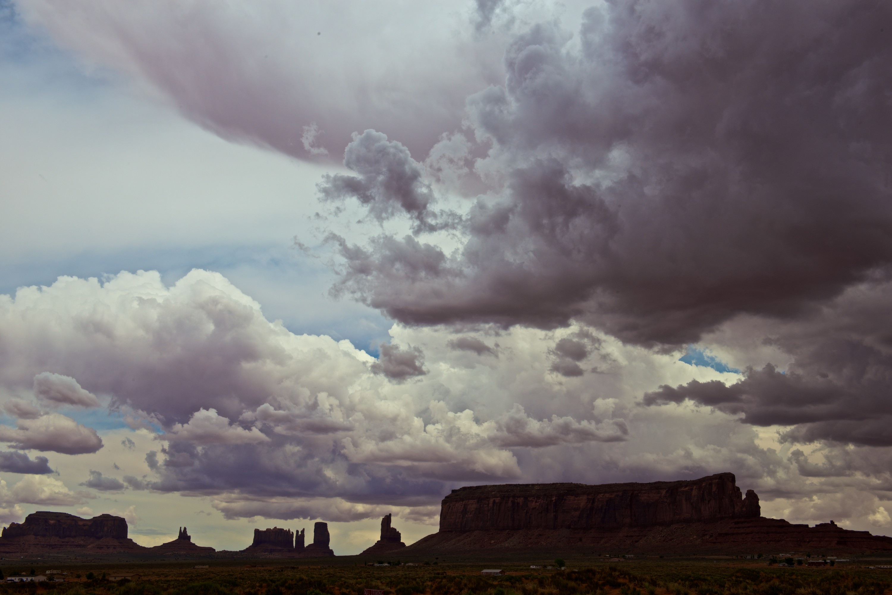
Our last stop, barely in Arizona, was Monument Valley. We set off to drive the circuit road, advertised as being unpaved and rough, for the full 17 miles and were soon exceedingly pleased that the Malayan drives so well off road. The road is indeed rough and reminded us of roads we have known and loved in Africa. Bleu, on the other hand, was not thrilled. He has decided he is not in favor of being an off road cat! He likes to ride on the dashboard when we are on unpaved roads as it bounces less but he keeps changing the settings on the GPS! But the drive was certainly worth it. It took us about 5 hours to make the tour and we loved every minute. The buttes and peaks are spectacular! We had a great day from a photography point of view with lots of amazing clouds as well as plenty of sunshine.

Rain at Monument Valley.


Obligatory portraits at the Mittens.
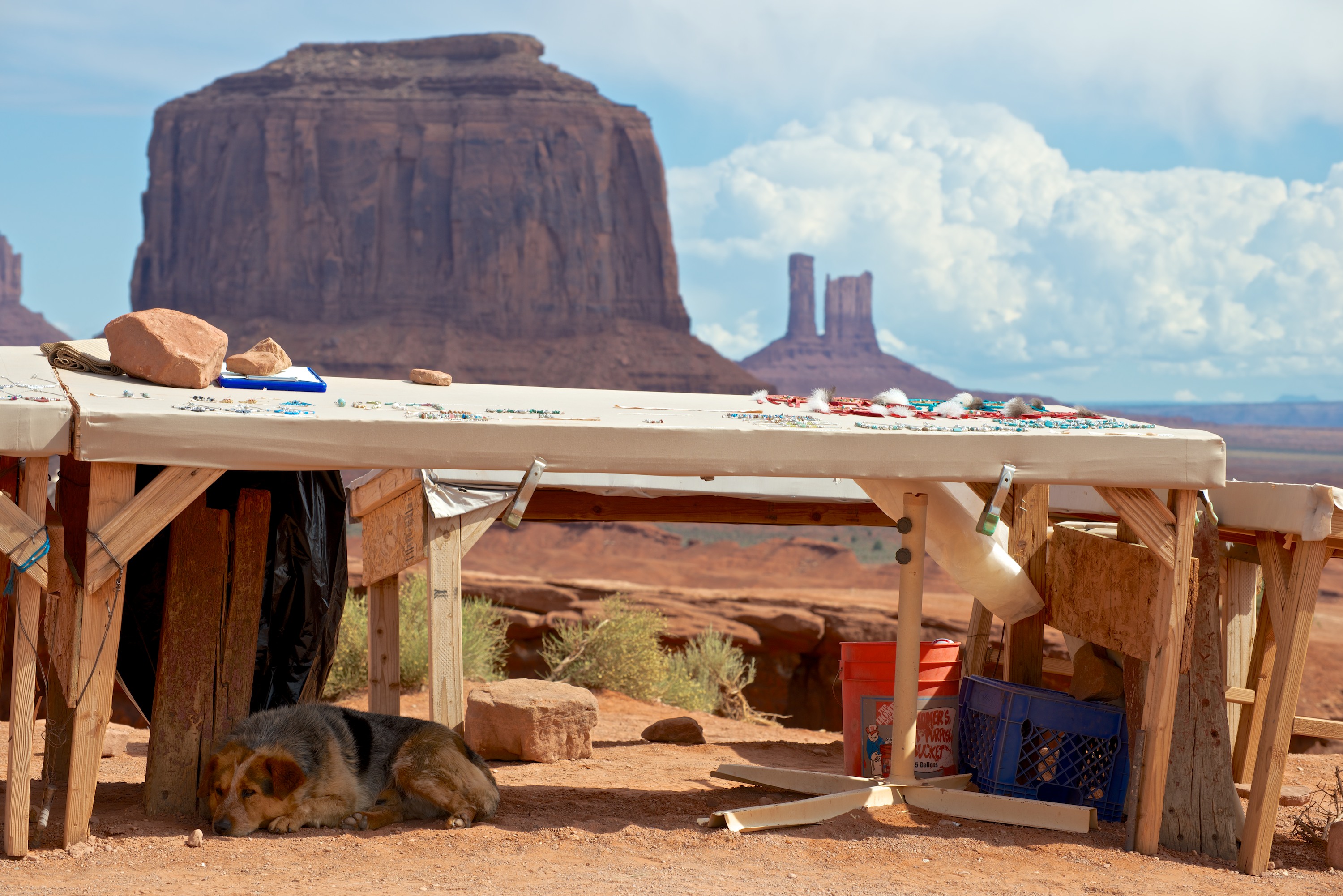
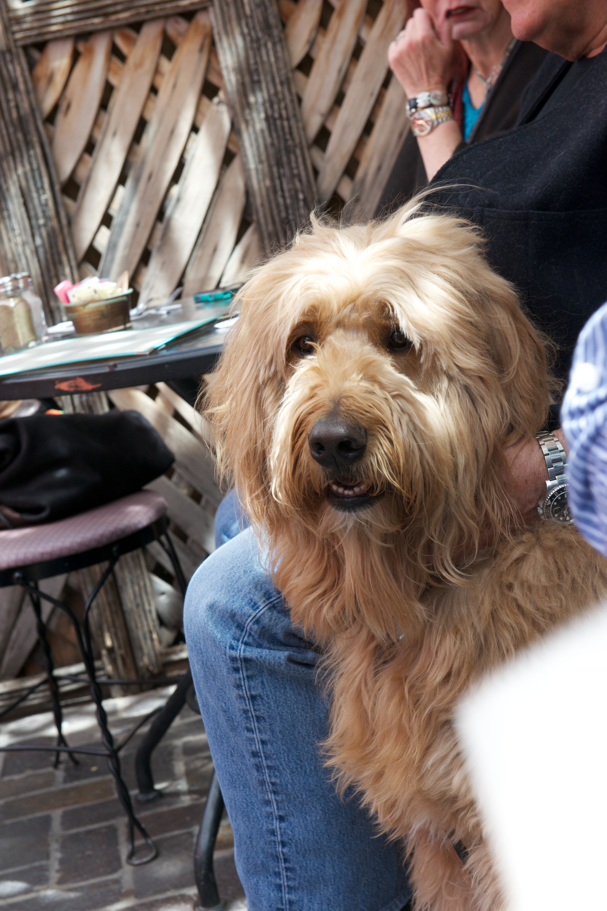
 Dog, selling jewelry.
 Iconic shot, from John Ford’s Point.

 Ndeke Luka, with the dancers and the totem pole.
 You could really make a Western here …


 Tourists, calling it a day.

 Dramatic clouds.
 Battleship Rock
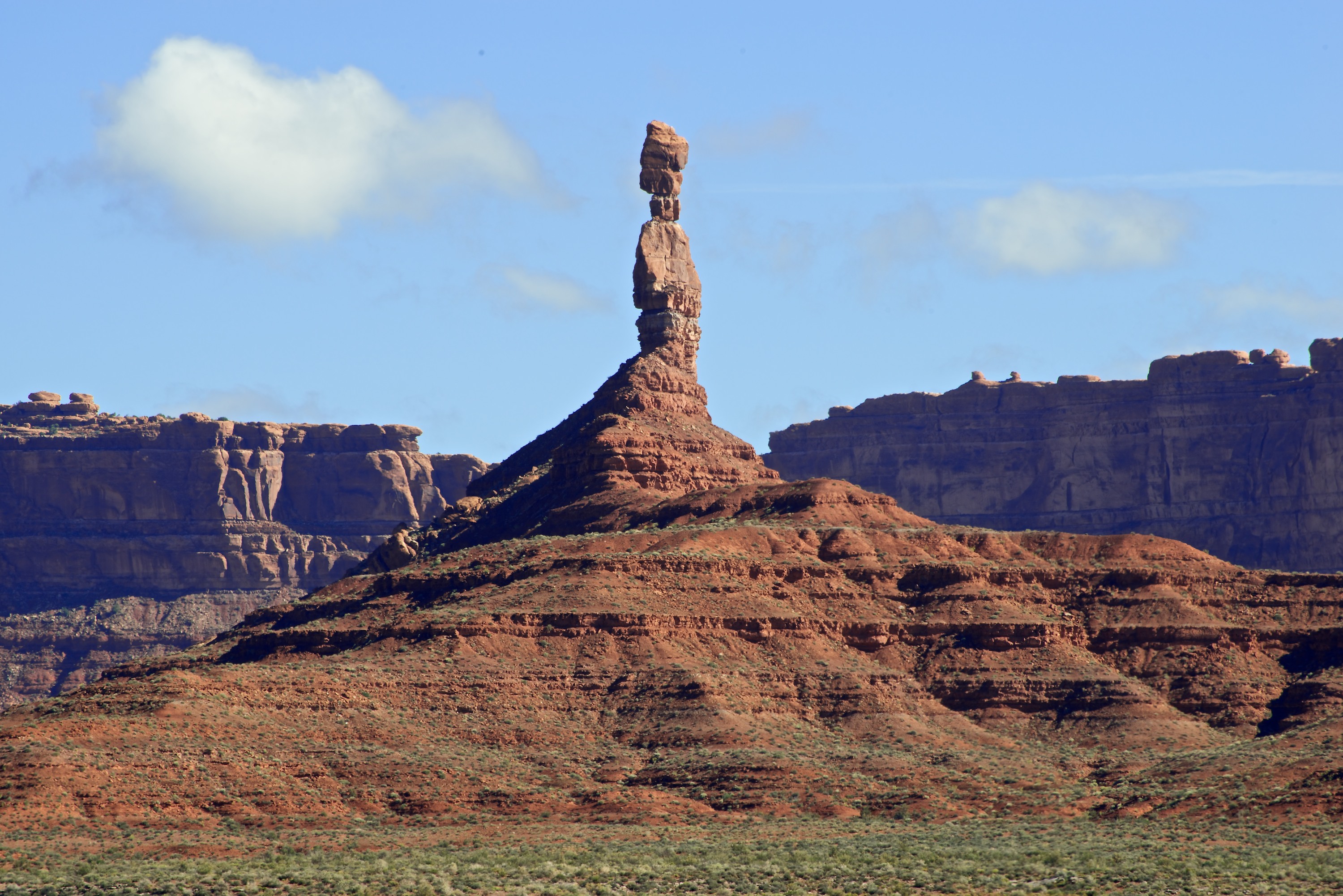 Pretty Balancing Rocks (Several hundred feet high.)
 Sipapu from the overlook. Hard to see the bridge at first, then you see the hole and can see how the water originally went around the pier of rock to the left of the photo.
 Sipapu from 3/4 of the way down. Note the beautiful green trees.