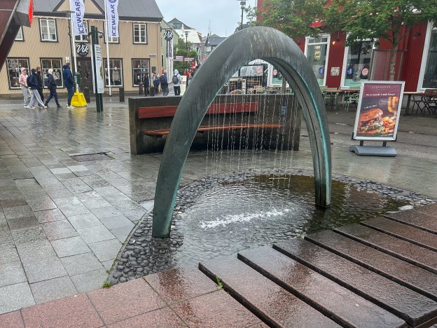
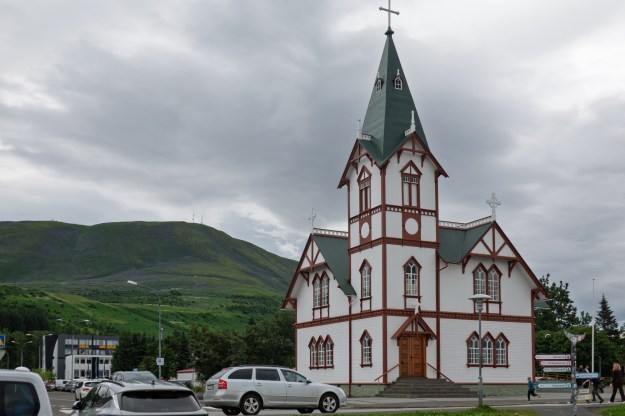
And on to Reykjavik and the end of our cruise. We had planned a couple of extra days in Reykjavik to see Denise’s cousin, Barry, and his wife Thorunn. Our first Icelandic immigration formalities were quickly accomplished. We have, thus far, been spared any of the nightmares that many have reported with the new European Entry System.
First impressions are always interesting. The Vikings’ first impression was that of a “Smokey Bay”, thus they named it Reykjavik. The smoke turned out to be steam from hot springs, and those hot springs are still there today. Descending from a ship, and driving through town, everything struck us as super Scandinavian modern. Modern buildings, multi lane motorways, etc. Dramatic contrast to the small towns and hamlets that we had seen to date.
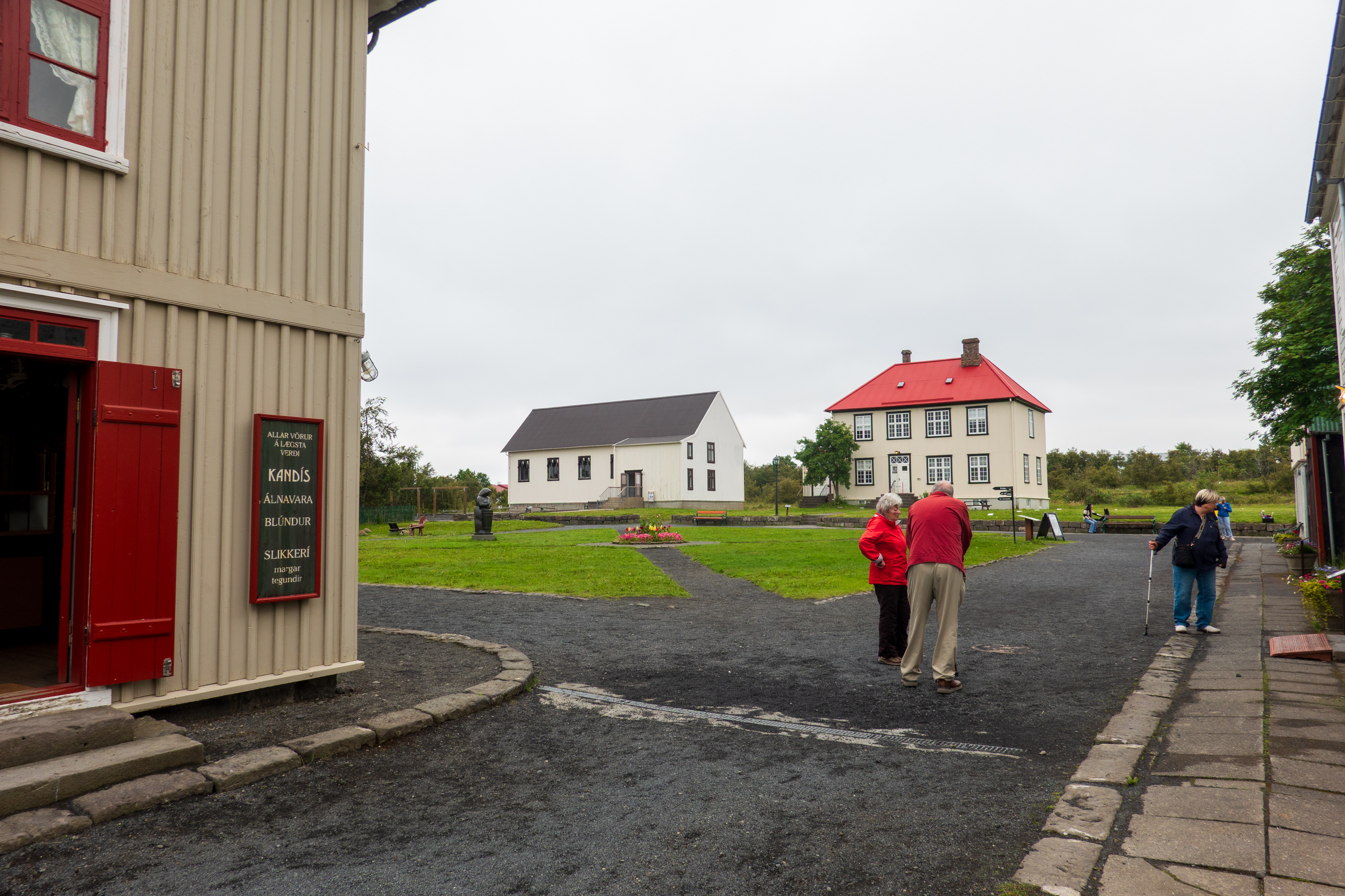
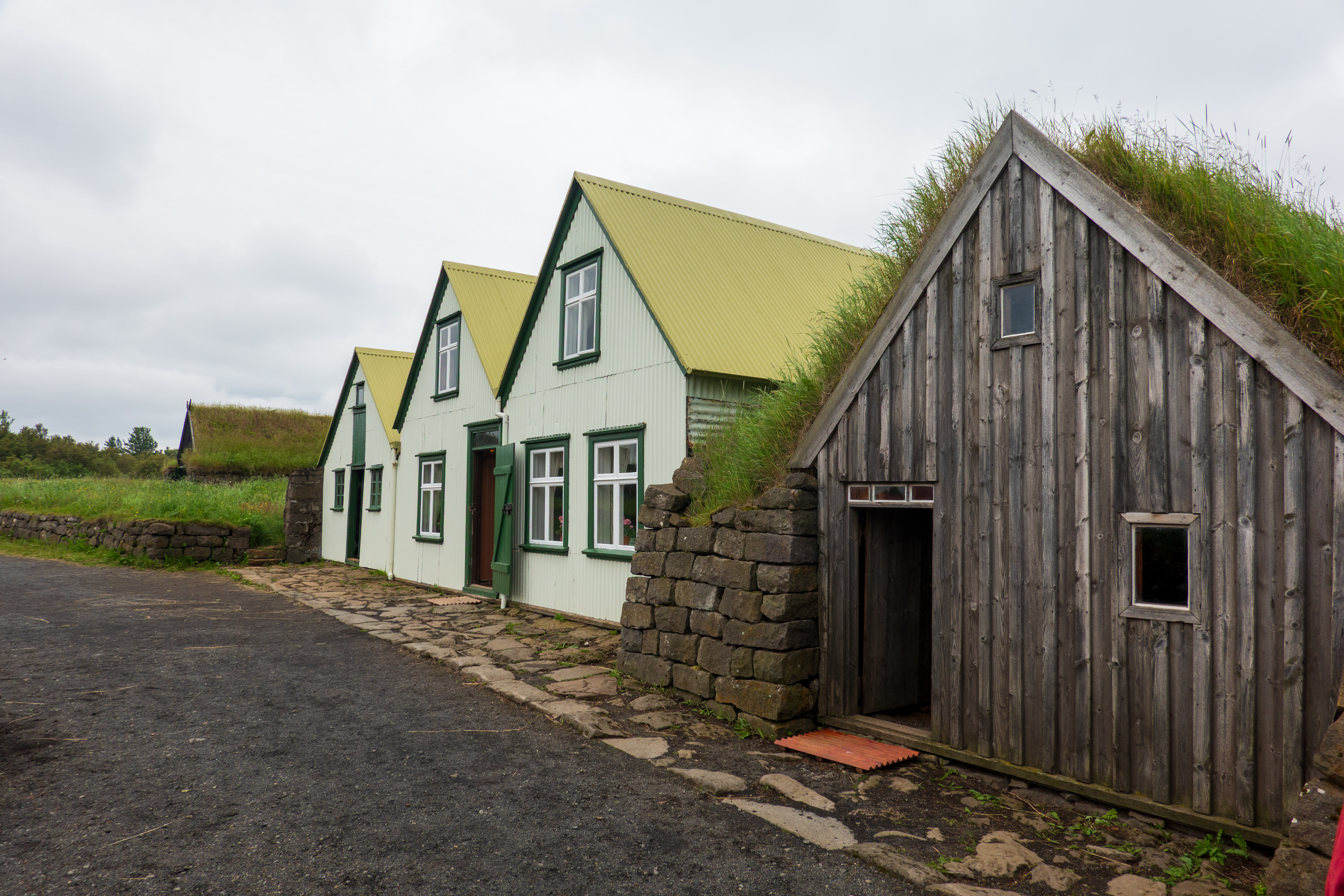
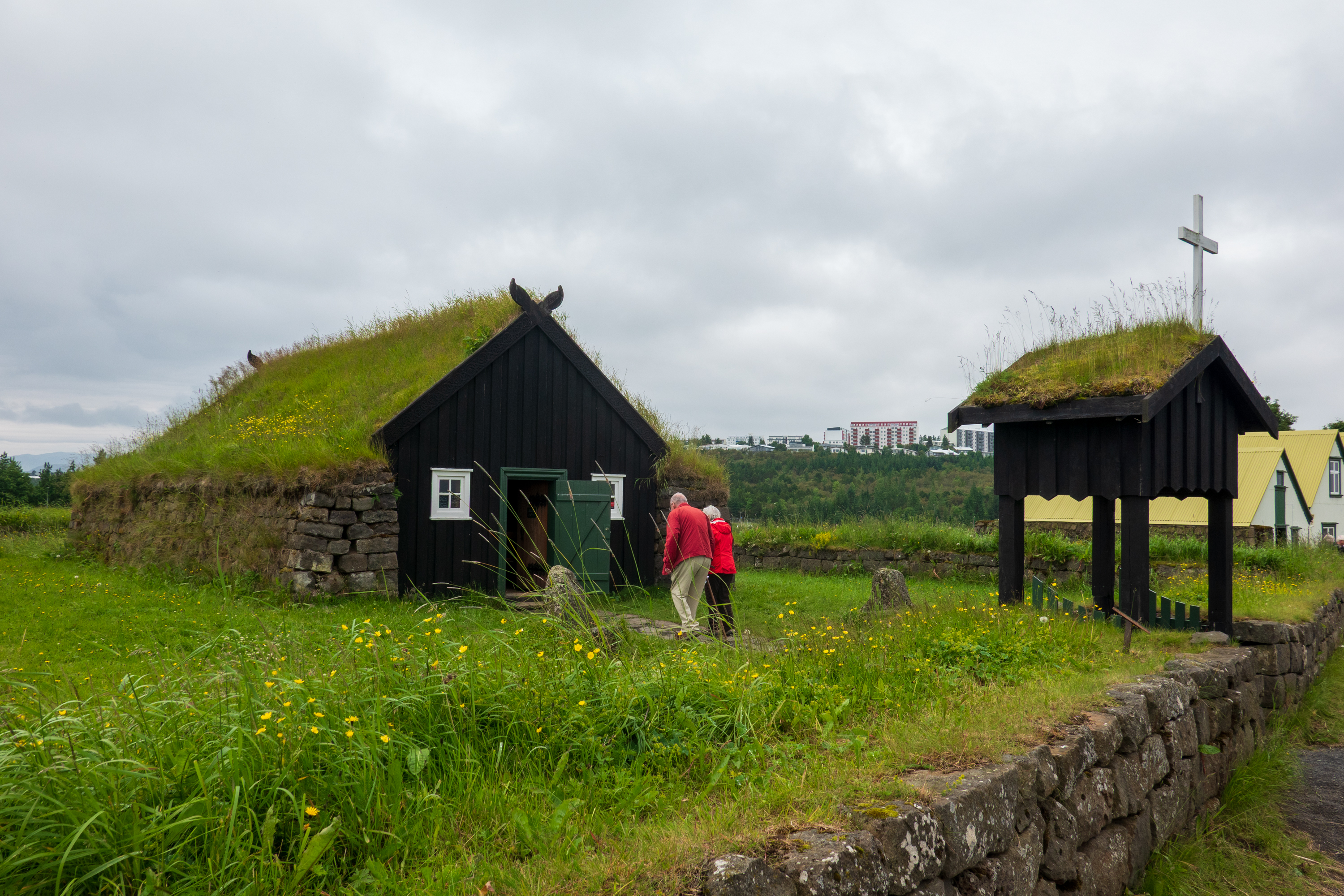
After finding our hotel, and meeting up with Barry and Thorunn, we headed for the Arbaer Open Air Museum, which is about four miles from downtown. (https://borgarsogusafn.is/en/arbaer-open-air-museum) Built on the site of an old farm, It features over 20 relocated historic and turf-roofed buildings that recreate a 19th and 20th century Icelandic village, farm, and town square.
We love these “step back in time” open air museums
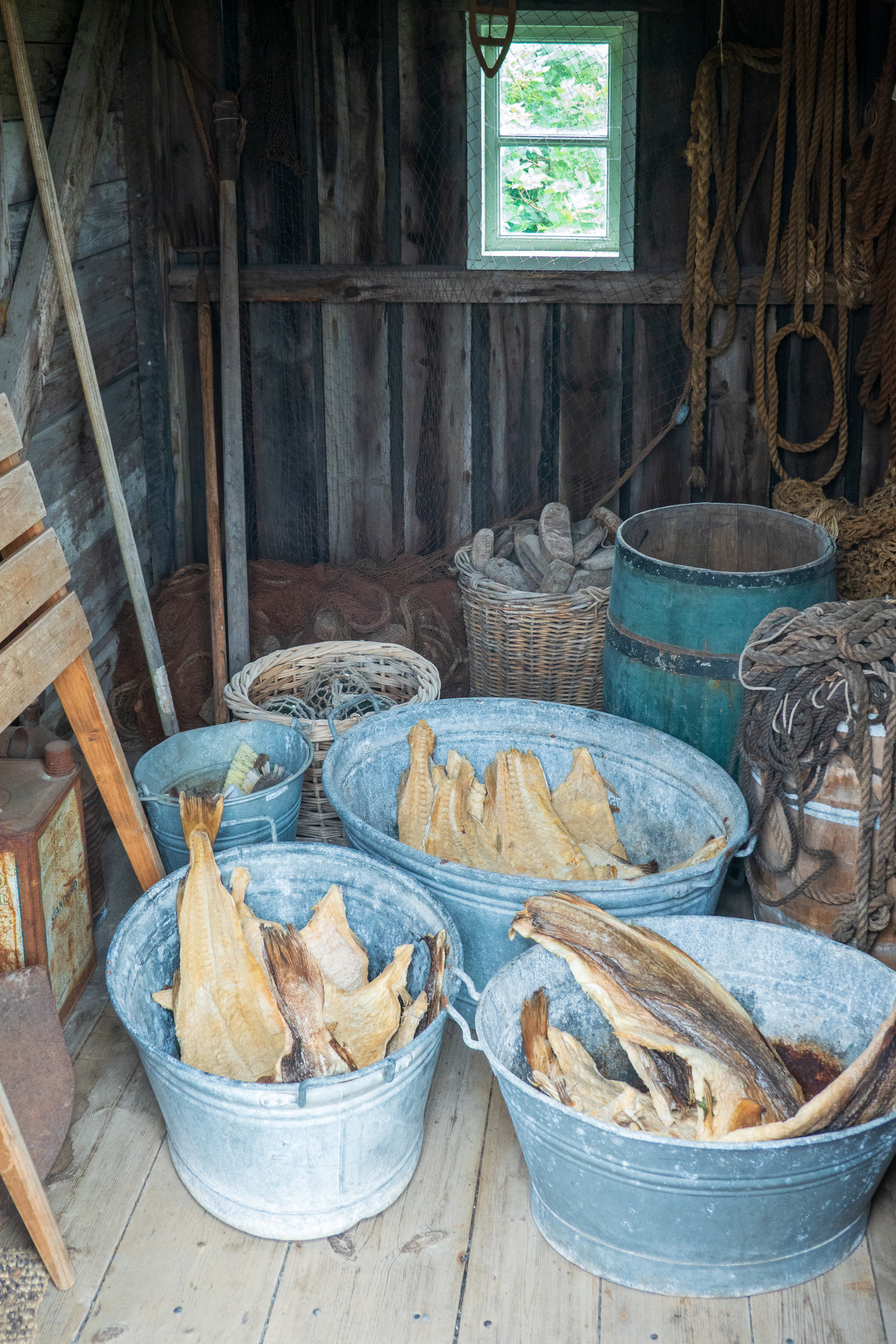
(dried) Fish. It’s what’s for dinner
Interesting historical note. While most of Europe heated homes with a combination of wood and coal, neither was readily available in Iceland. The Vikings cut a lot of trees, sheep reduced regrowth, and a huge eruption in the 1300’s killed off a lot of people and vegetation.
The original farmhouse and barn
So for generations, Icelanders burned peat, driftwood, animal dung, kept animals inside, wore wool, built well insulated houses, took geothermal hot baths, and shivered.
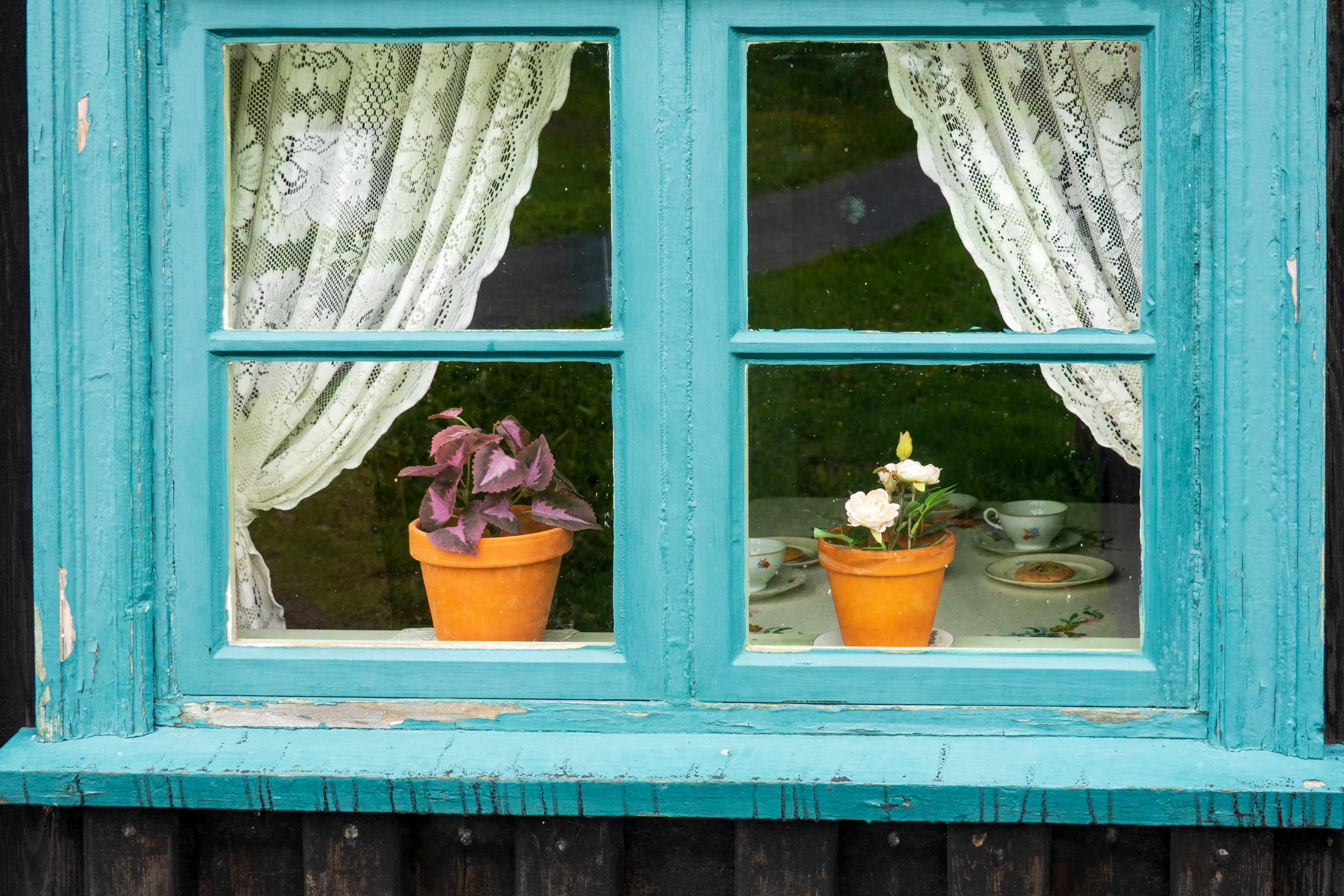
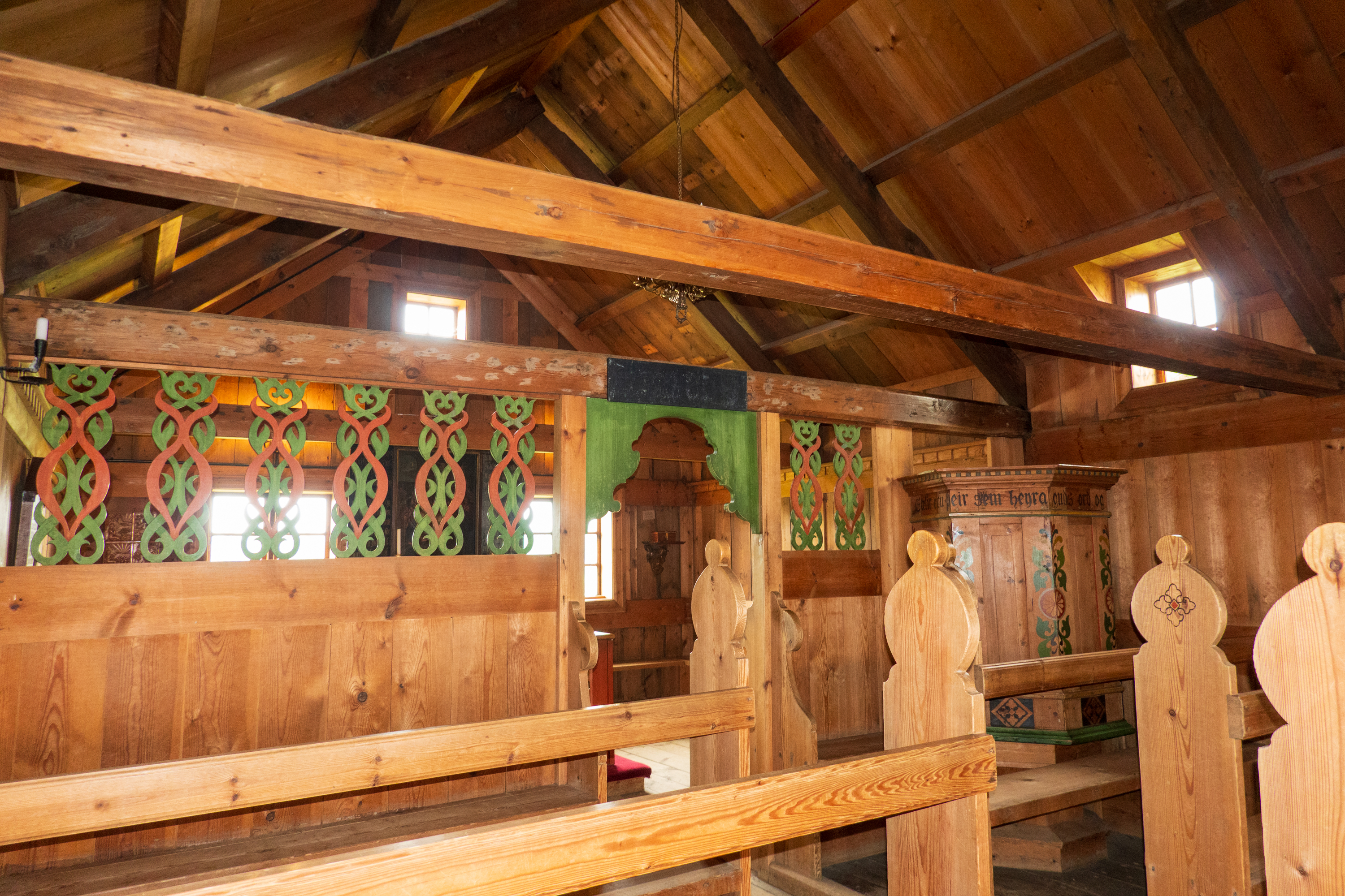
A most fascinating site made all the more special as Barry and Thorunn were married in the little church there.
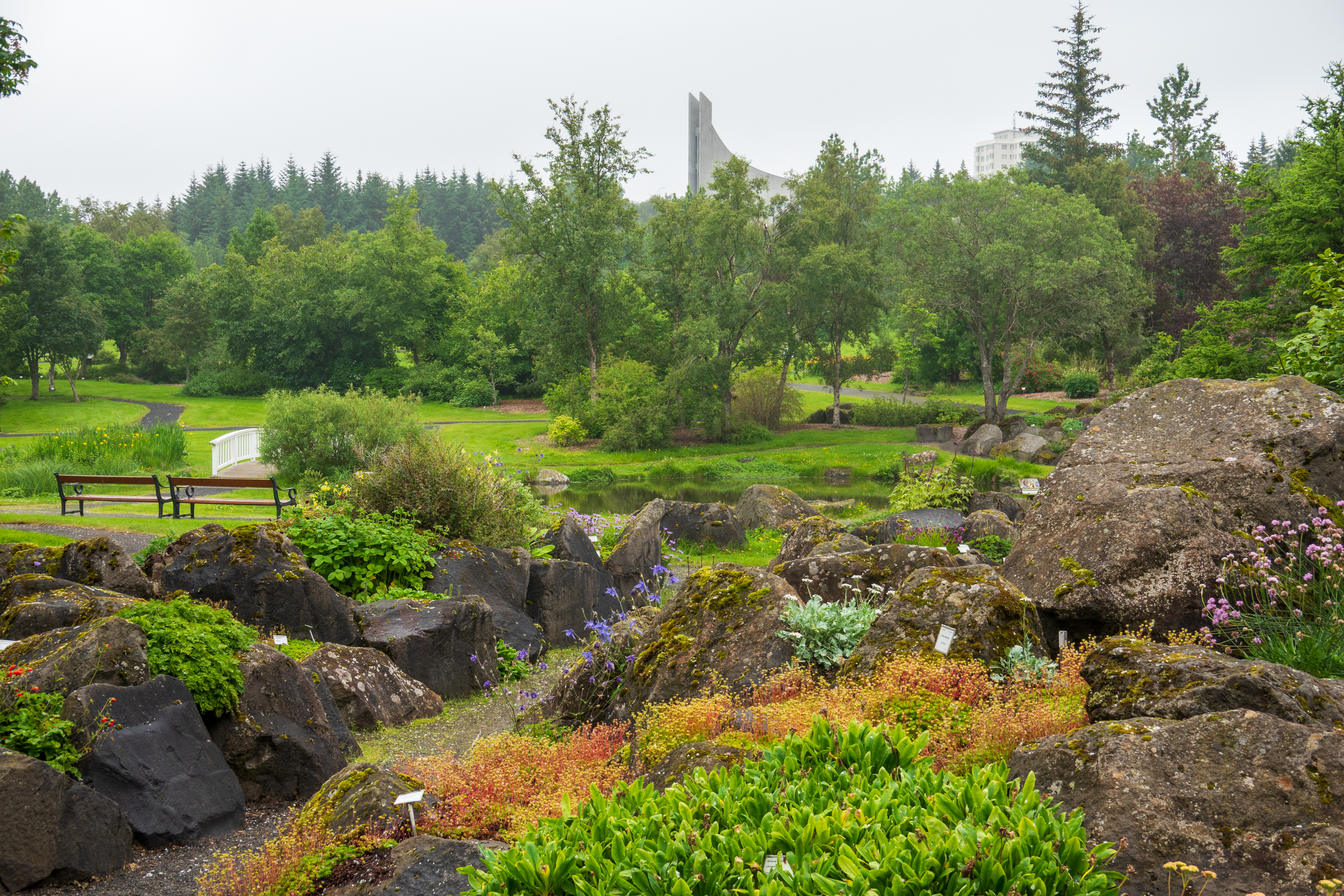
There is a focus on plants that can live in the rocky ground.
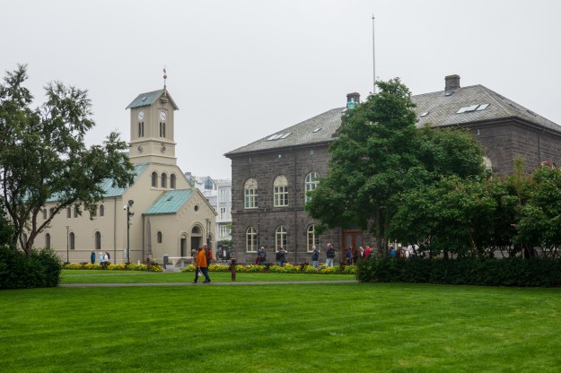
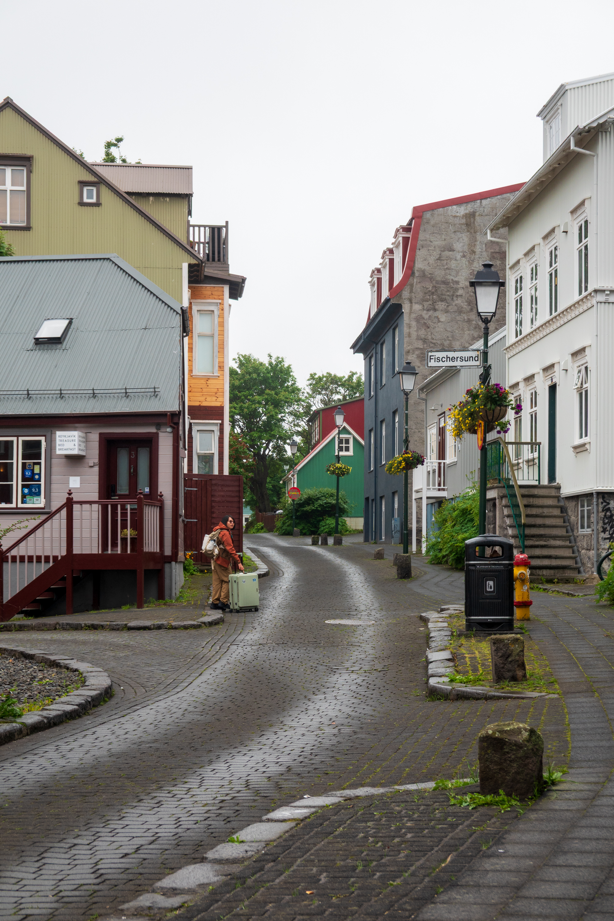
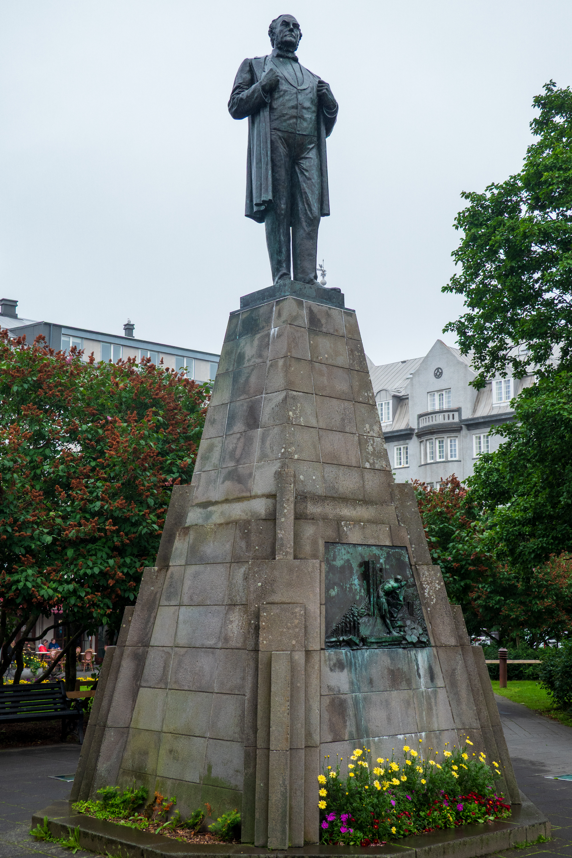
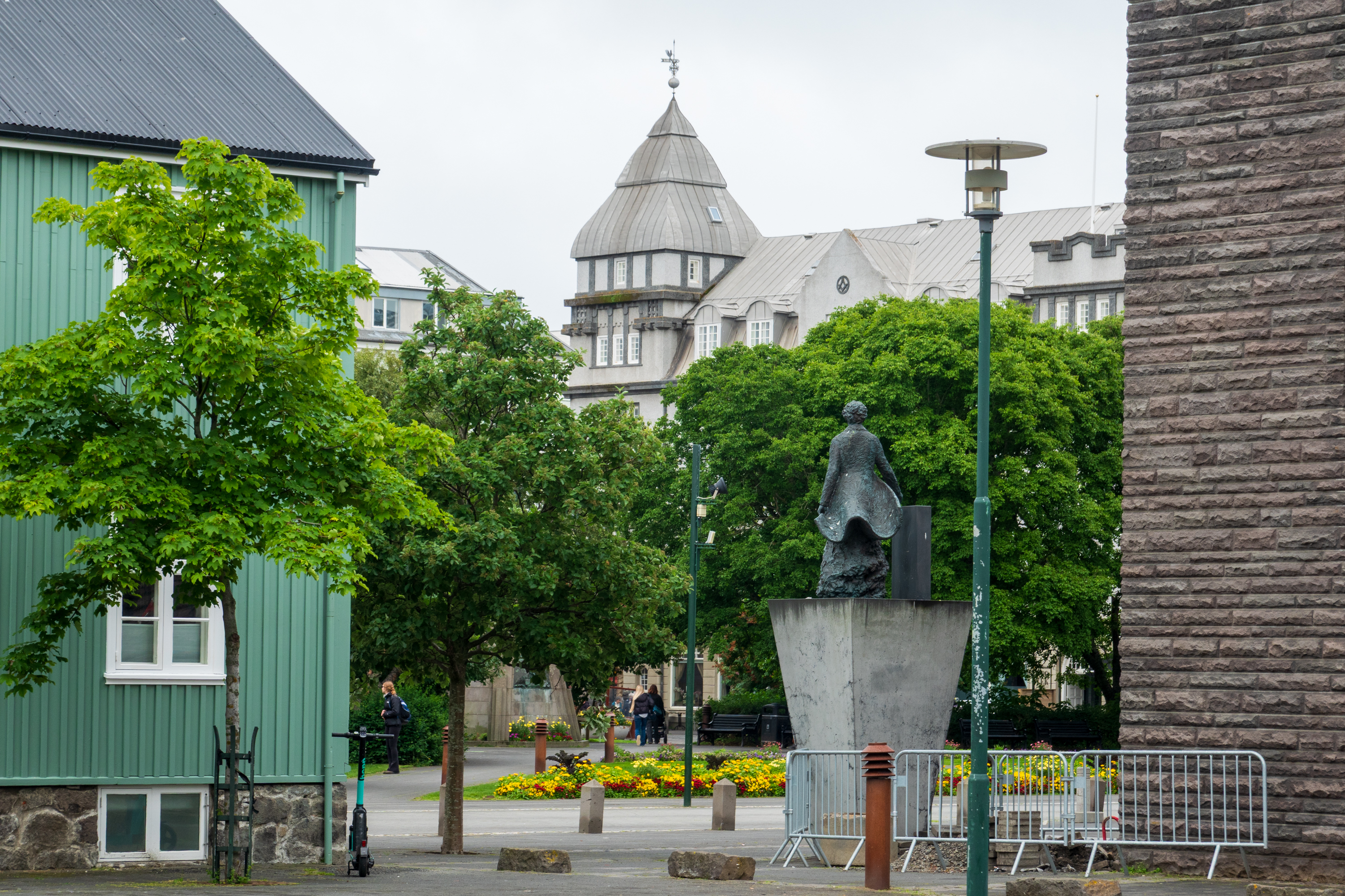
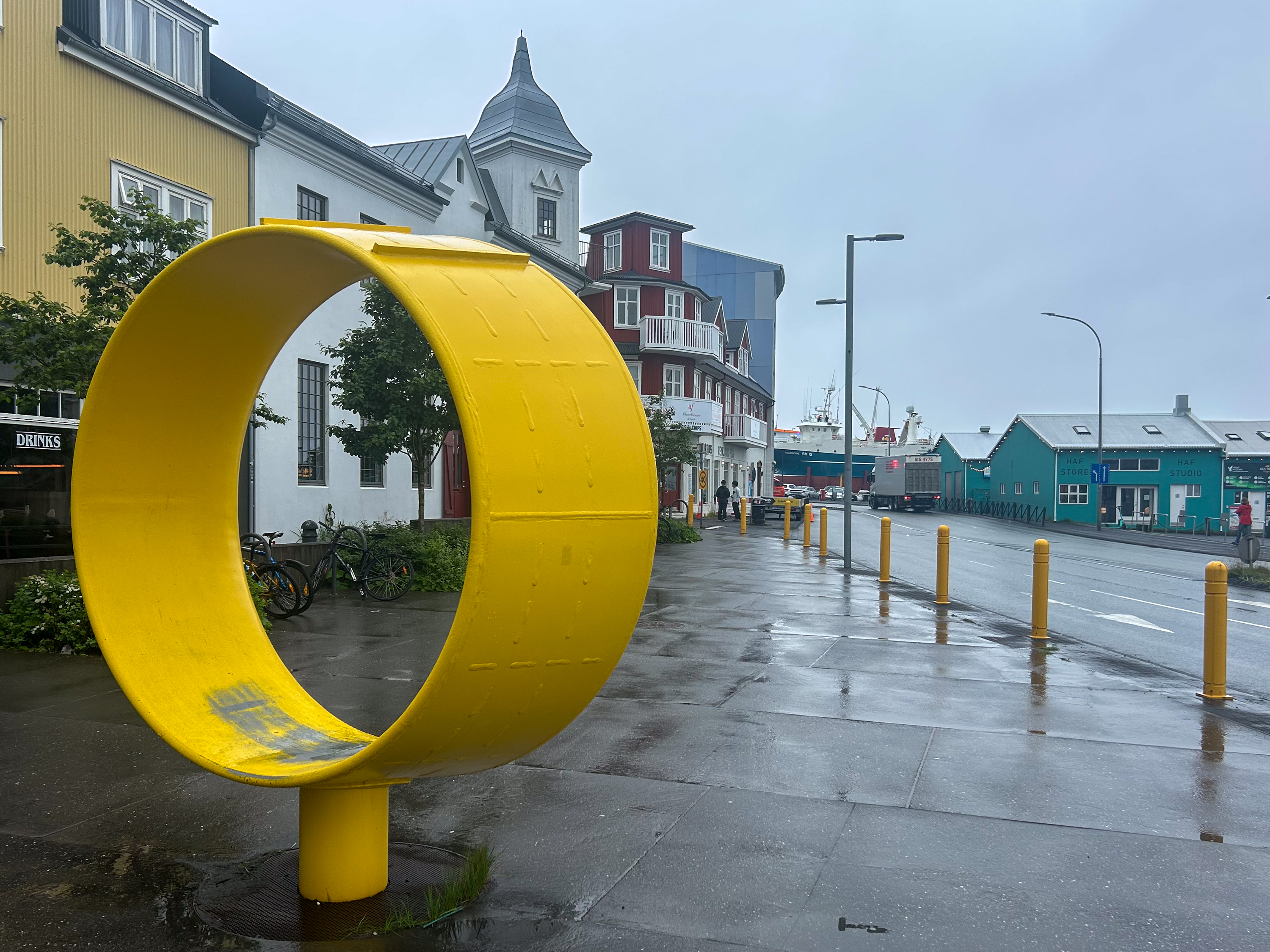
After a lovely lunch at the Cafe Flora in the gardens, we went to discover the downtown. Quaint buildings, some lovely squares and the Parliament House were all interesting.
Unlike the rest of Europe, Iceland has no railways. There have been two, one that ran from 1913 to 1928, to haul stone for the harbor and the parliament, and another in the 2000’s to build a dam for hydro electric power. (https://en.wikipedia.org/wiki/Rail_transport_in_Iceland) Before the widespread availability of electricity, the cost of coal for a railroad would have been high. Now, electric trains might be an option, but the cost of maintaining the road beds over unstable volcanic ground would be high. One reason that most roads in Iceland are simply graded gravel – easier to repair after snow and landslips.
Parliament and Cathedral.
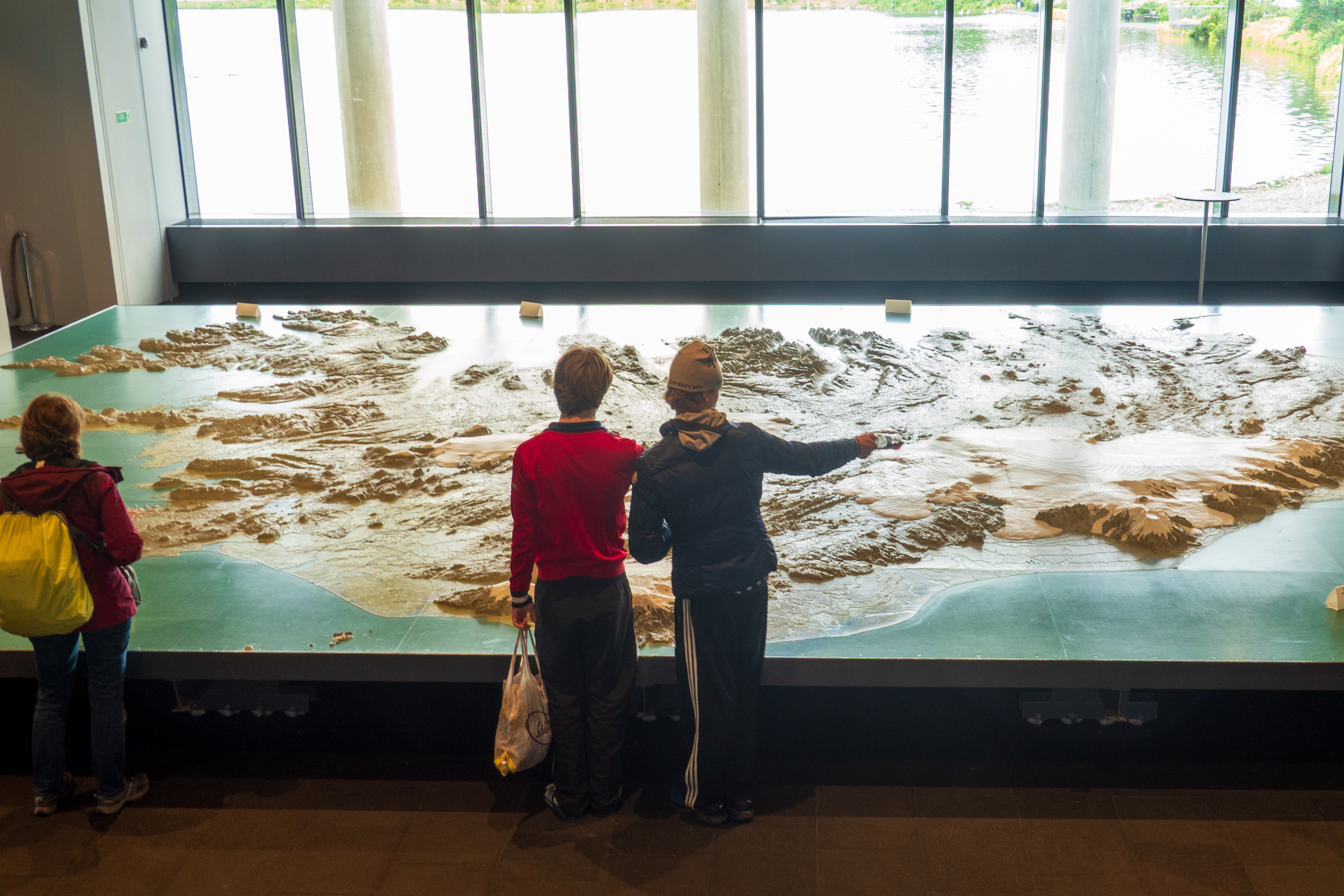
The City Hall also had a wonderful 3D map of Iceland which we examined at length. Fascinating to trace our route around the island.
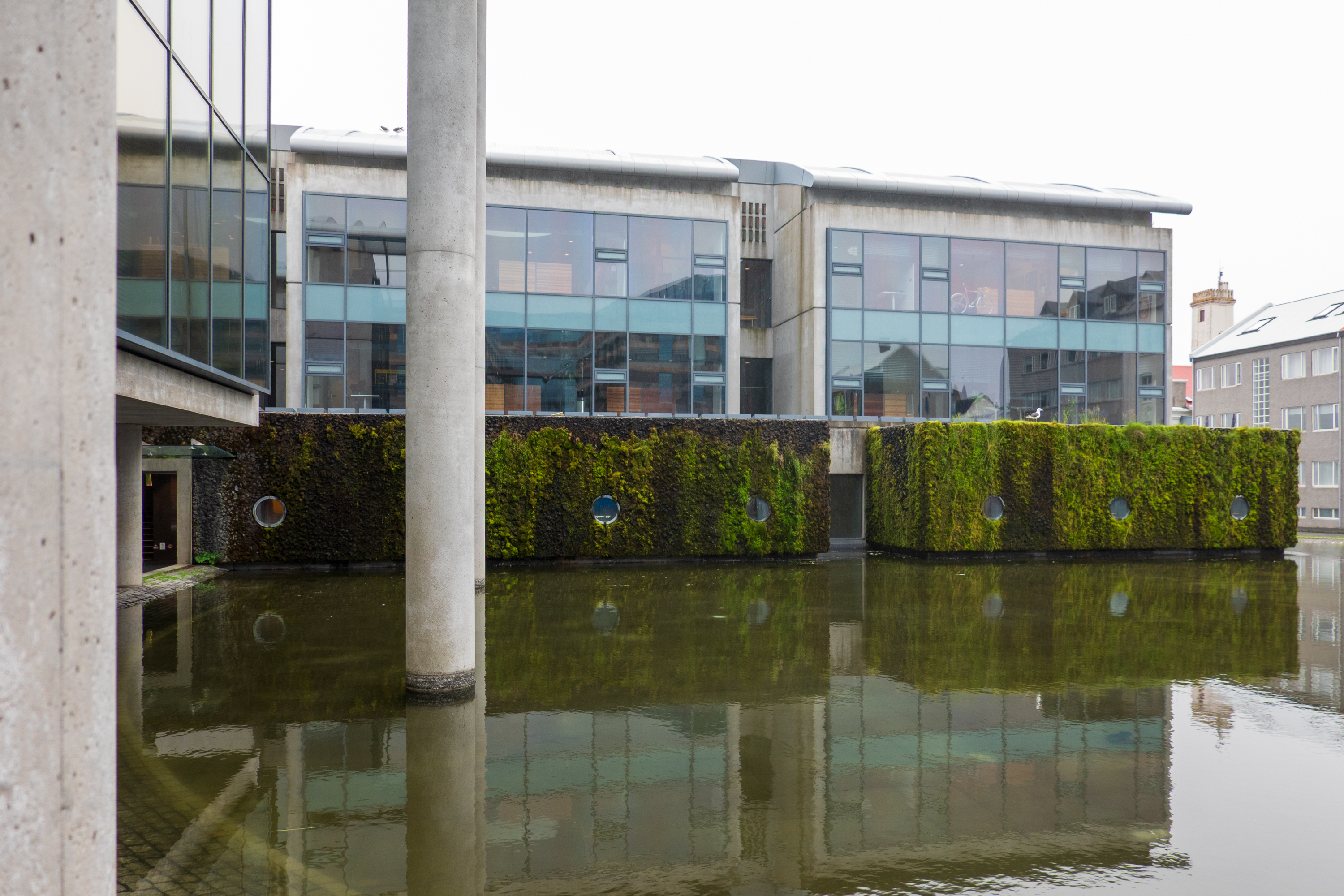
Super modern city hall
All of Iceland in one 3D map
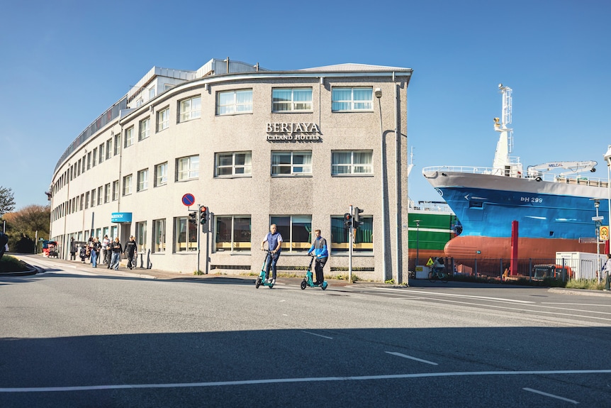
We ended up the day by checking into our room – luggage already delivered. The hotel, now run by a Malaysian company, sits right next to the ship yards.
Wasn’t this sunny during our visit!
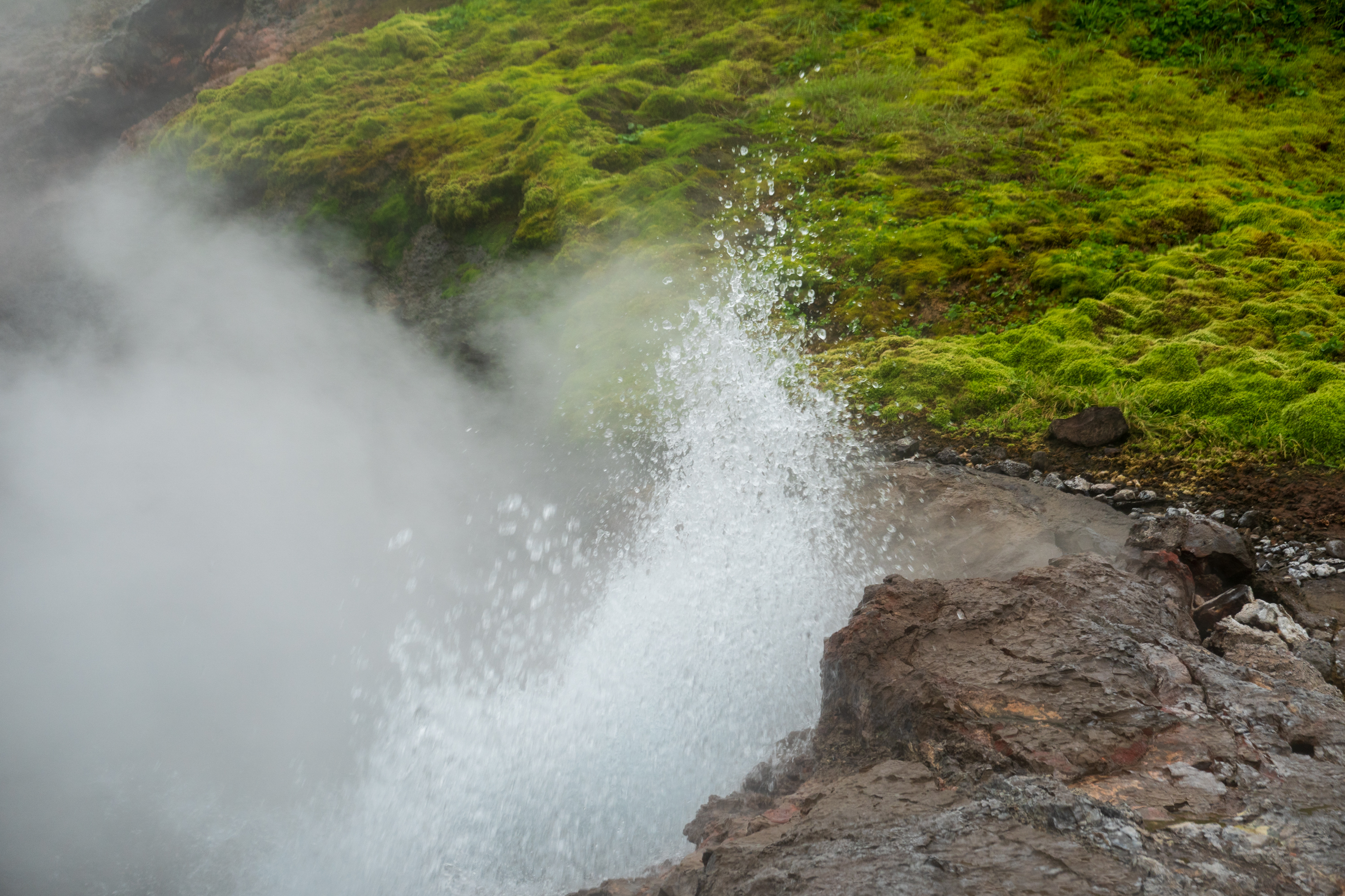
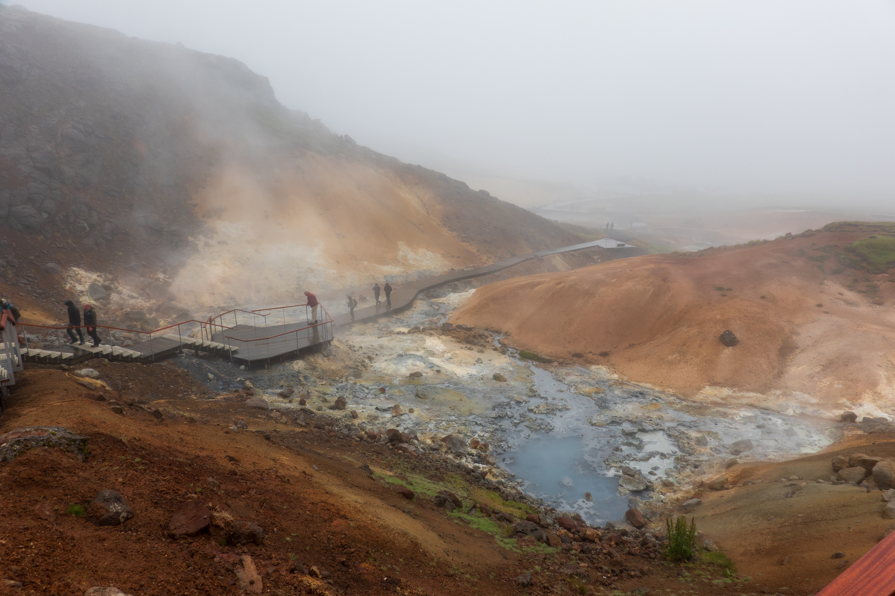
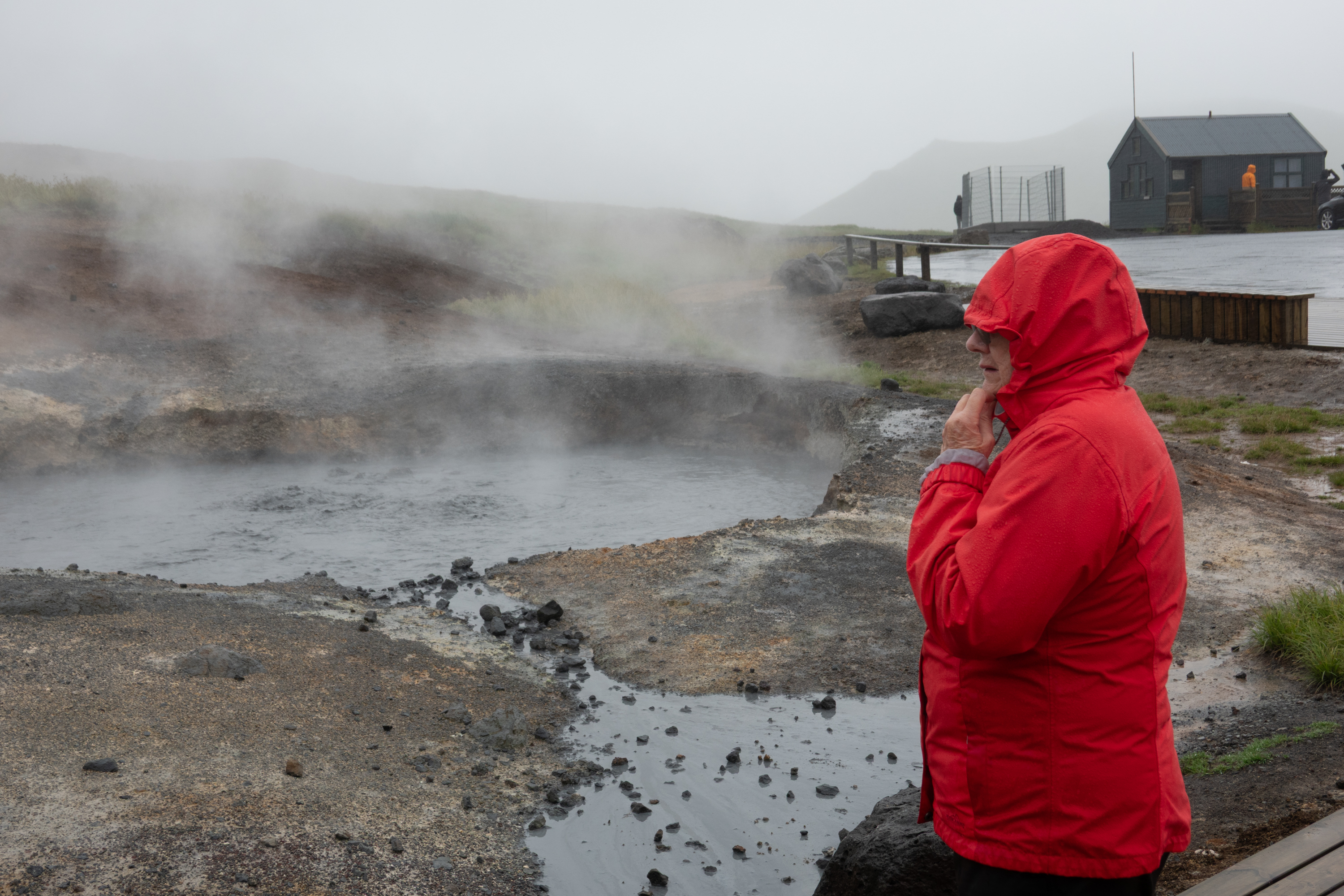
During the next two days, Barry and Thorunn took us to explore the area outside the city. Sadly, the rain continued unabated, so we skipped some of the scenic overlooks. We stopped by a popular hot spring, but did not stay to bathe.
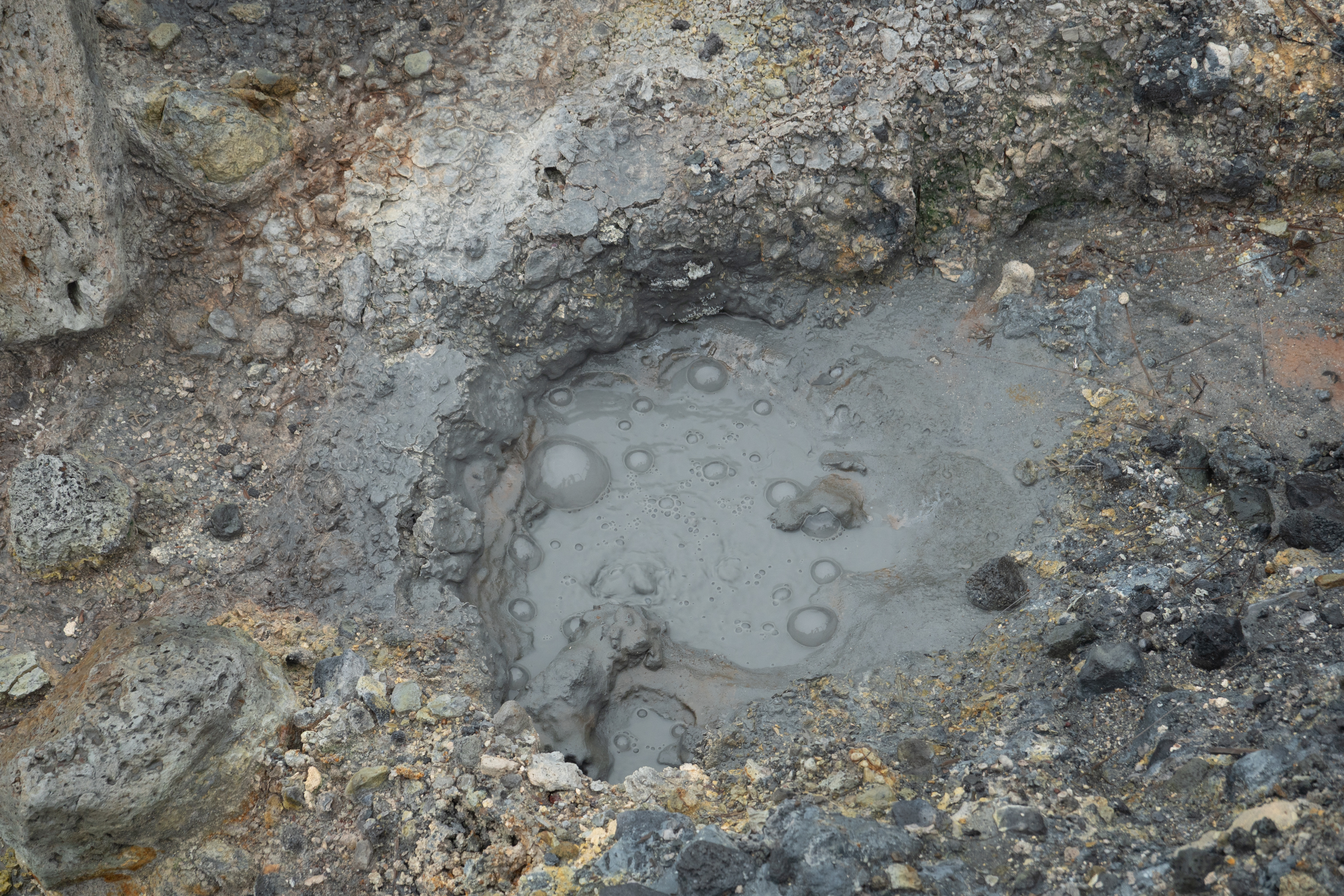
Don’t put your hand in the water!
A bit steamy!
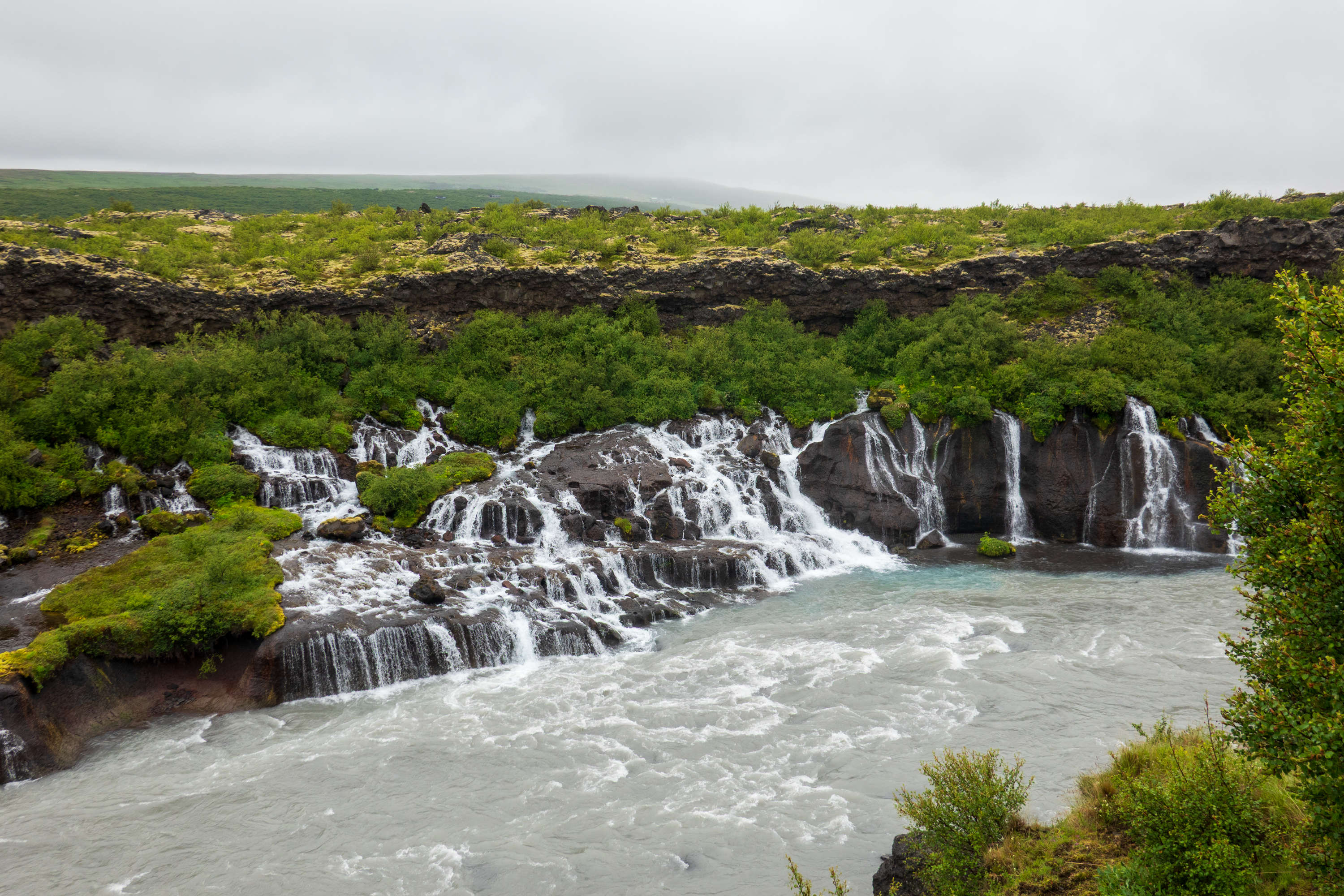
We visited the Reykholt Hraunfossar, an unusual water fall as there is no visible river upstream. It it fed only by water seeping through the lava field.
The waterfall without a a (visible) source. Note the blue, rock flour, or glacier milk.
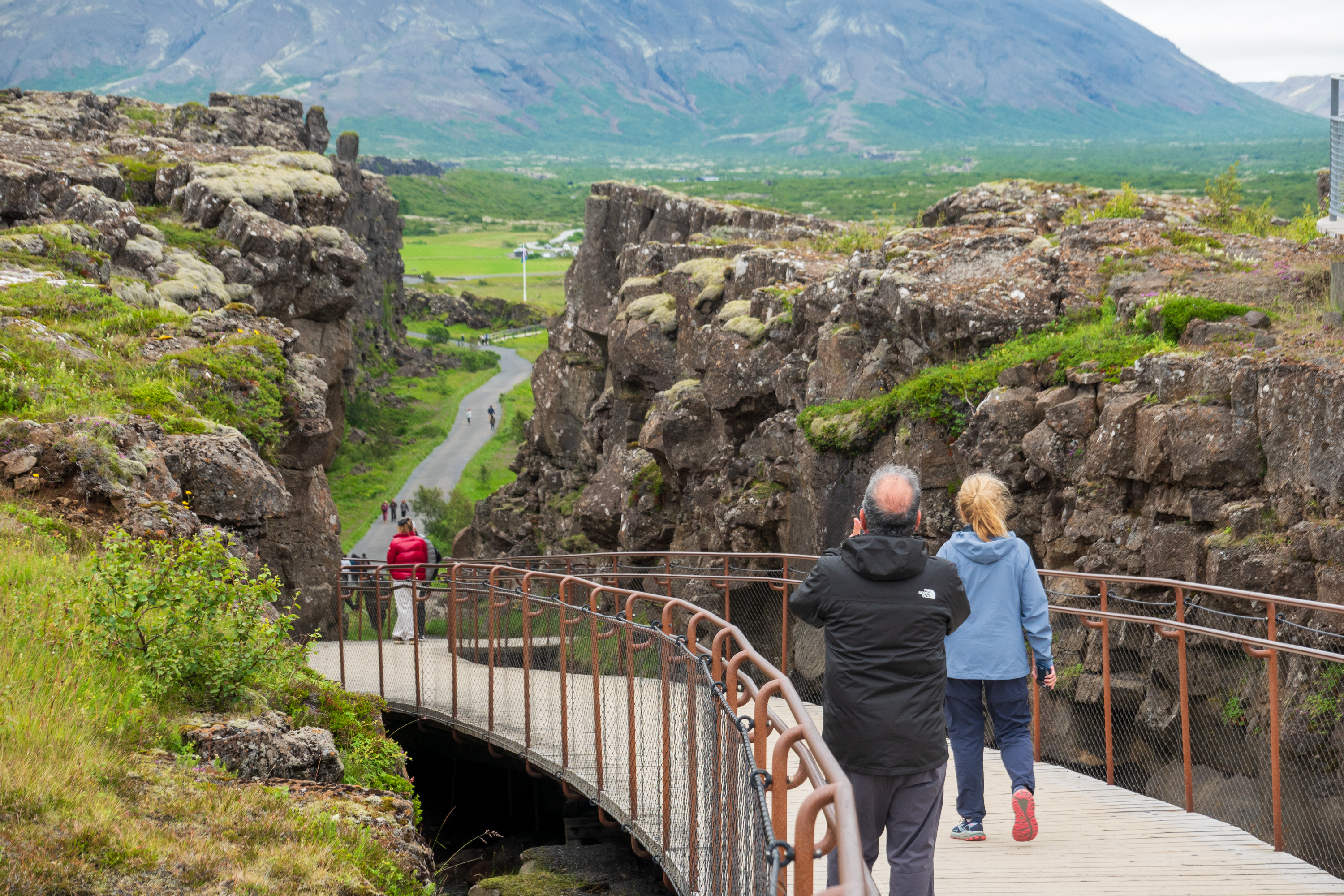
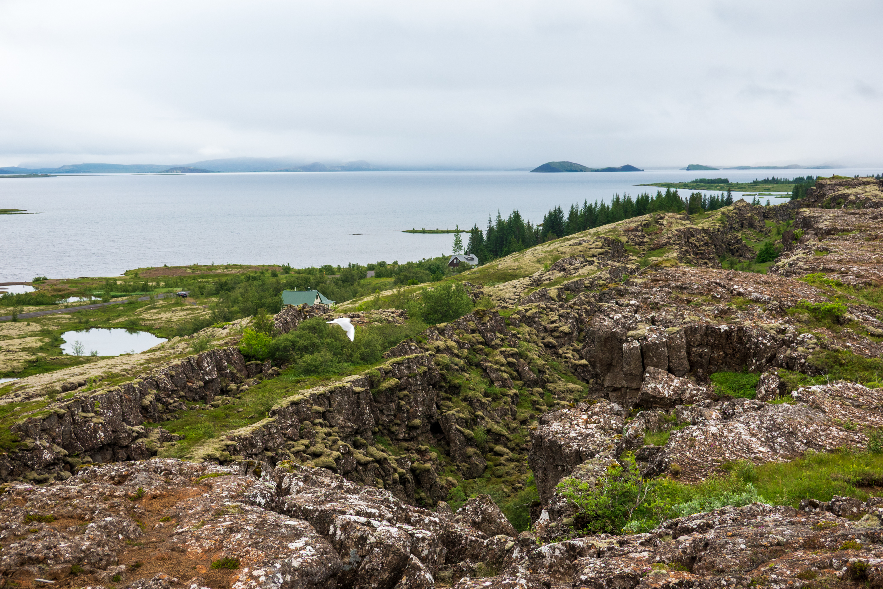
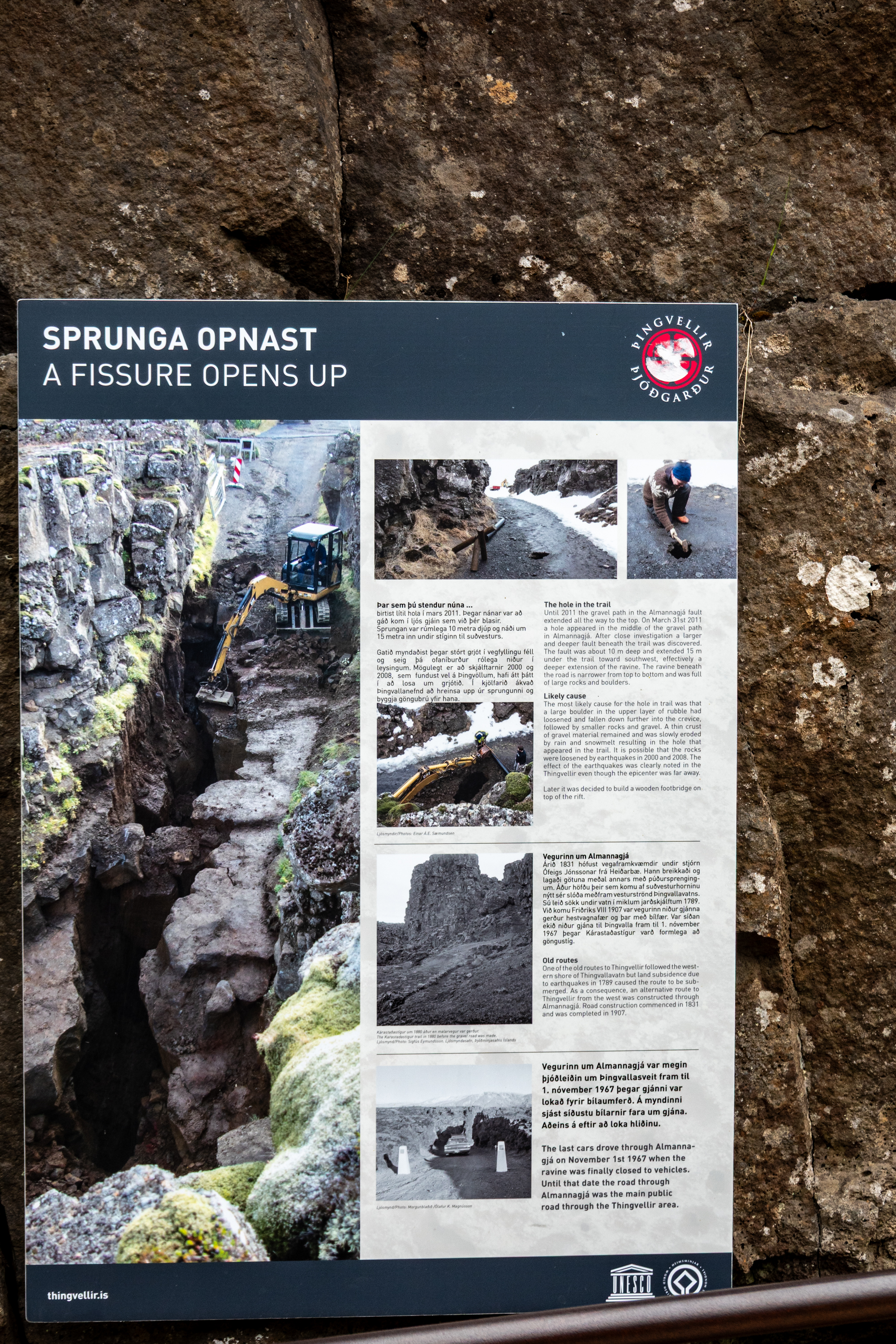
Iceland sits on the North Atlantic Ridge. (https://en.wikipedia.org/wiki/Mid-Atlantic_Ridge) Indeed, it only exists as dry land because, over the millennia, the lava from the volcanos has built an island. And that island is literally split in two. At the Þingvellir National Park you can stand on two tectonic plates at the same time. Þingvellir is also the site of the original Icelandic parliament, dating from about 930.
Looking into the rift, North America left, Europe right.Þingvallavatn, the largest natural lake in Iceland
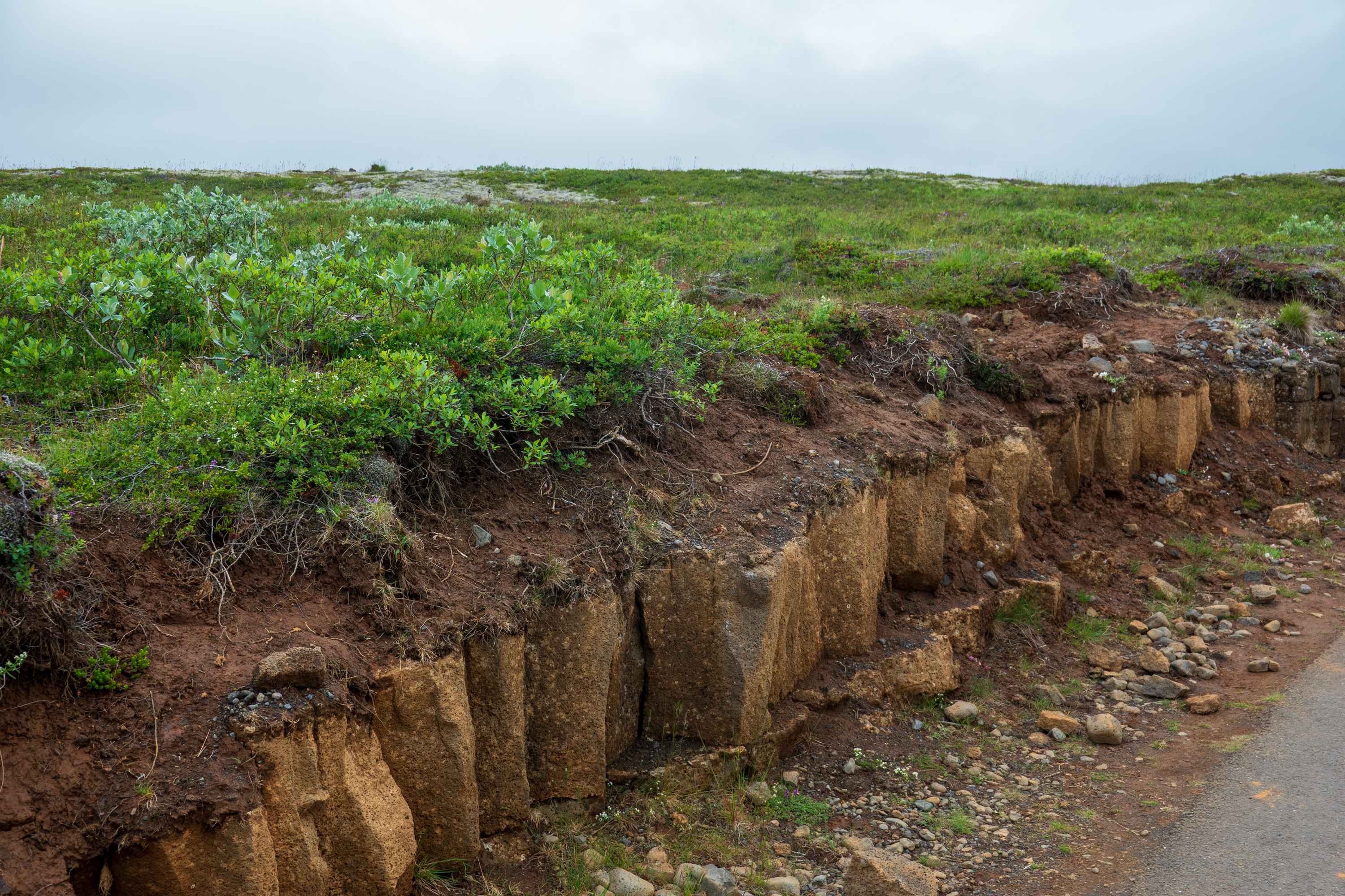
And soil, continuing Fred’s amazement of the lack of actual earth in Iceland.
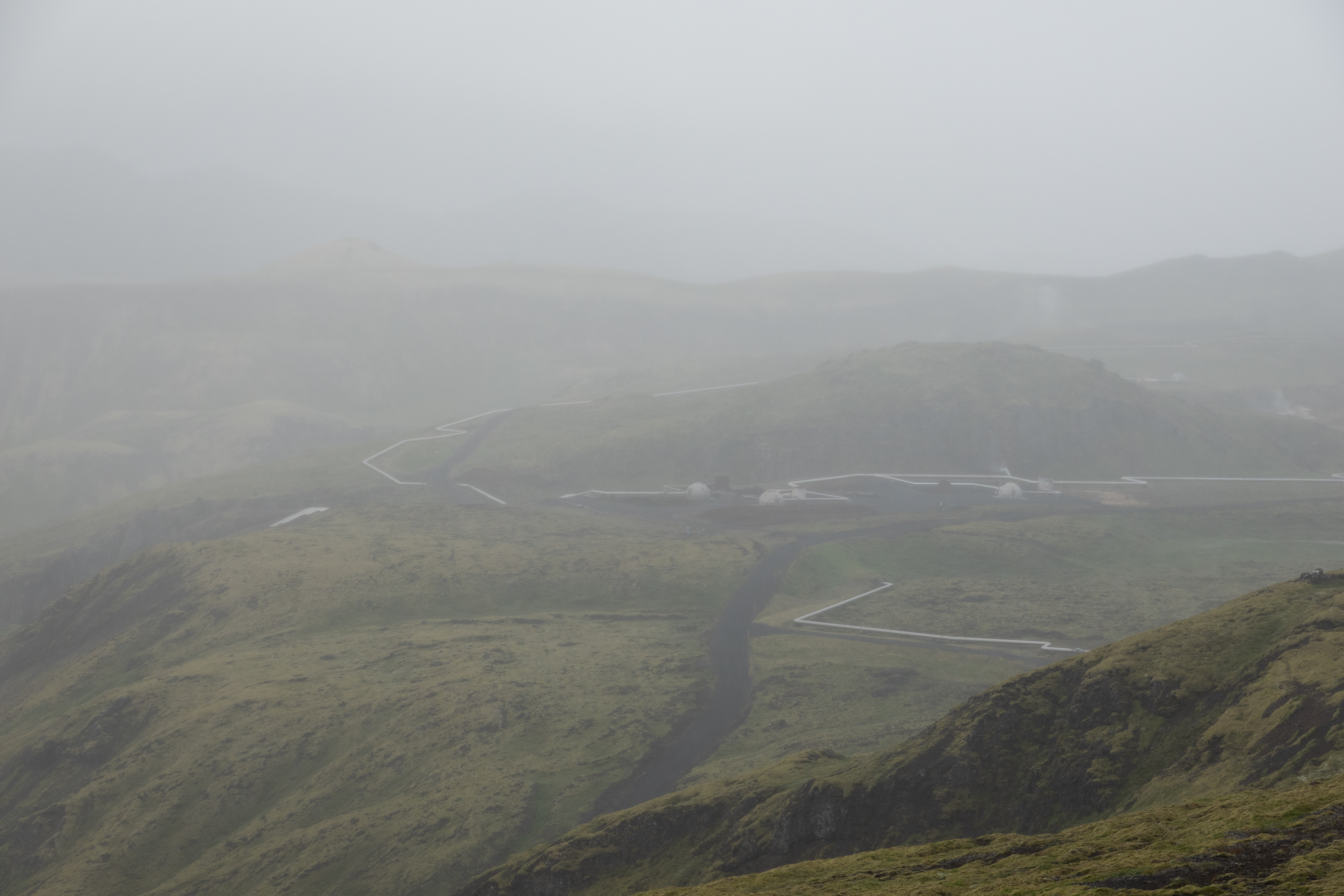
Nesjavallavirkjun is one of the biggest thermo electric plants in Iceland, providing power to Reyjavik. The highly insulated pipes carry volcanic hot water great distances at extreme pressure.
This is supposed to be a scenic overlook!
Deildartunguhver hot spring has the greatest hot (100C) water flow in Europe. Provides domestic hot water to towns up to 60 kilometers away.
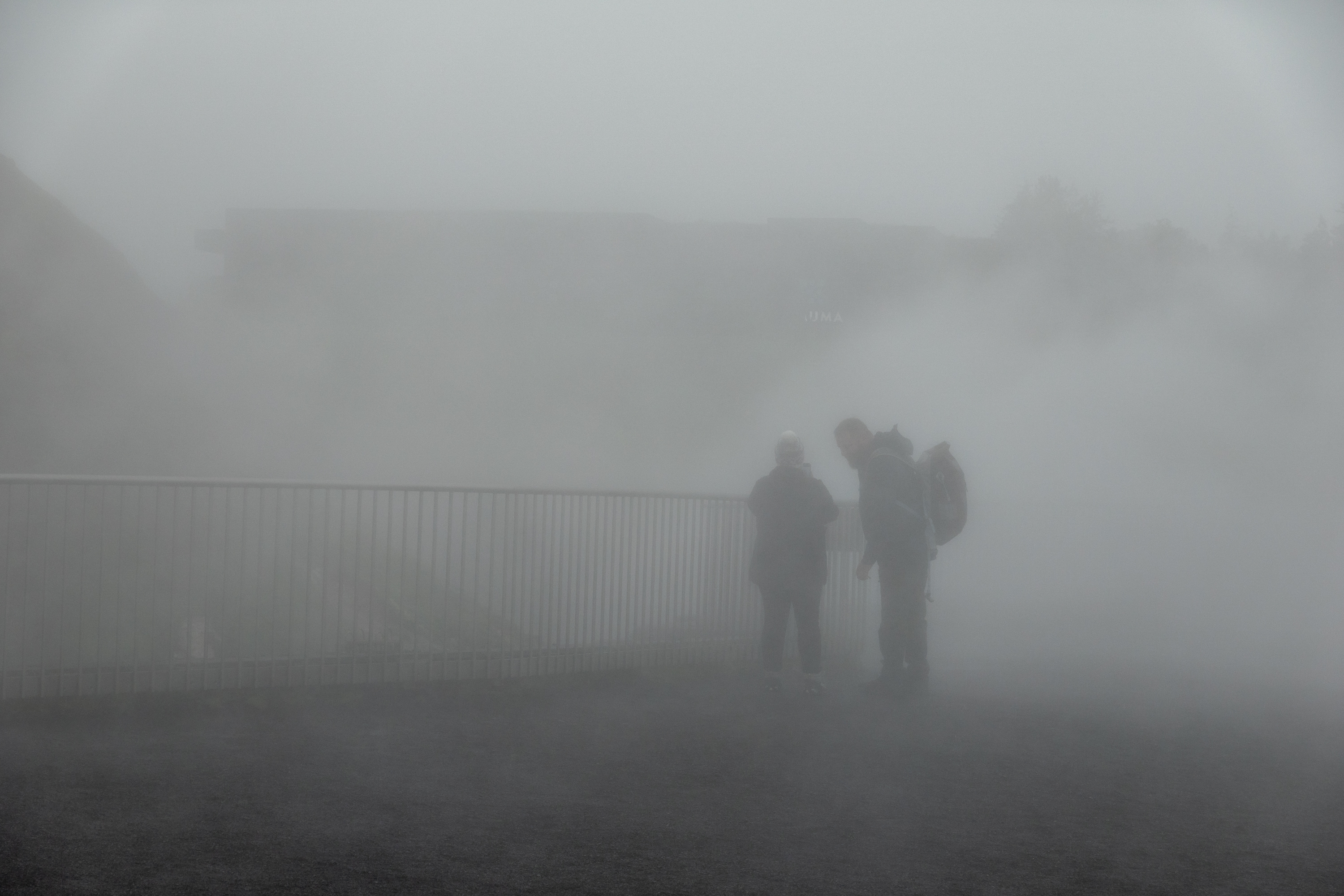
Hard to see very far, but it is a good idea to stay on the walk!
A bit cloudy and miserable!Watch your step!
After three wonderful, if soggy, days, we had an easy flight back home to Washington.
Iceland was not icy but we were very unlucky with our weather. But more of that later.
Isafjordur
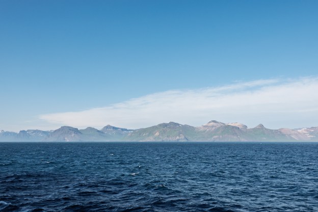
Our first stop was Isafjordur in the Westfjords.
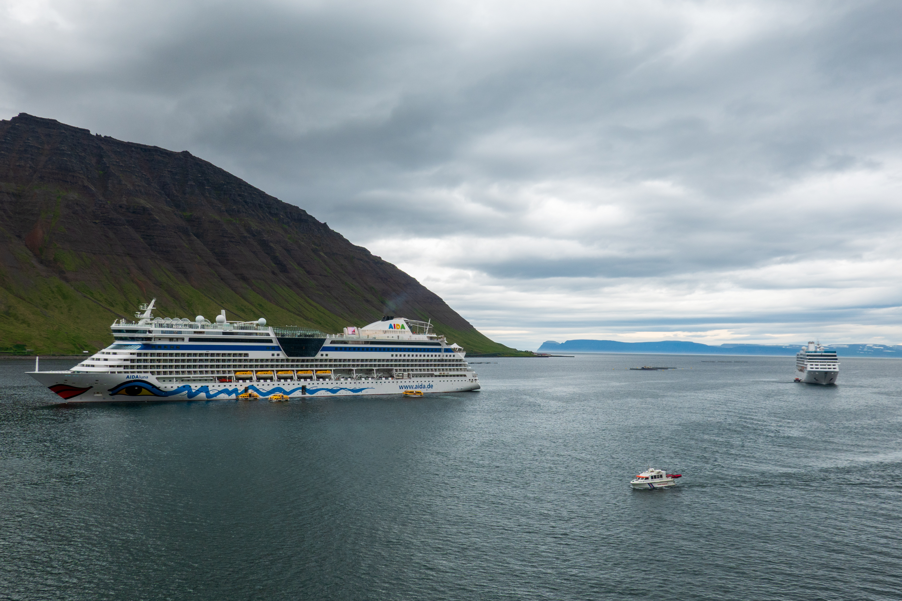
Our first encounter with a cruise ship jam. There were four of us, two tied up and two anchored out. Yes, Iceland is becoming a hot tourist destination!
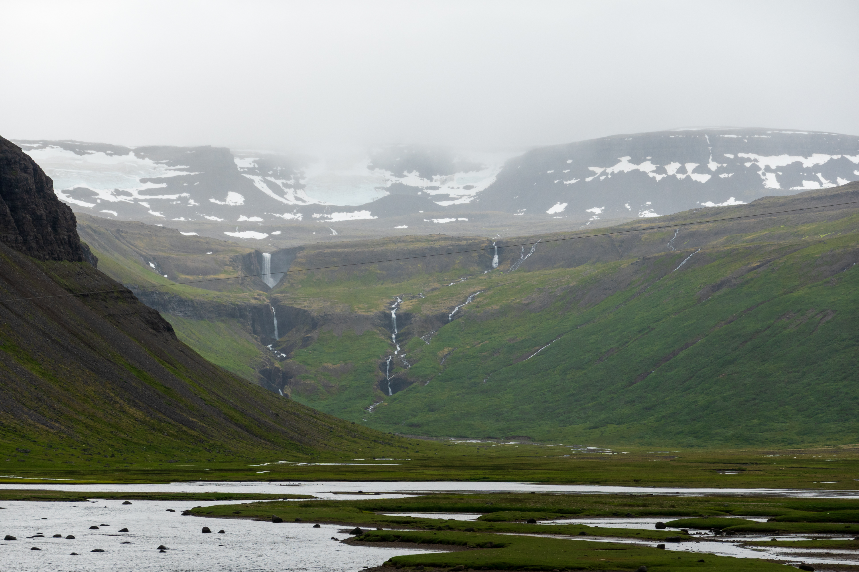
Founded in the 9th century by Vikings, it had been a trading port since the 1600’s. And while it is home to one of the largest fisheries in Iceland, it remains very much a small town. It was also our first exposure to the fjord geography and society. Much in the way that eastern mountain folk in the United States refer to someone as “living in the next holler,” Icelanders talk about someone living “two fjords over.” The steep walls and narrow valleys are said to provoke two, different reactions – some people say they feel protected while others find the geography claustrophobic. Places that are only a mile or two apart across the water or mountain can be hours away by road.
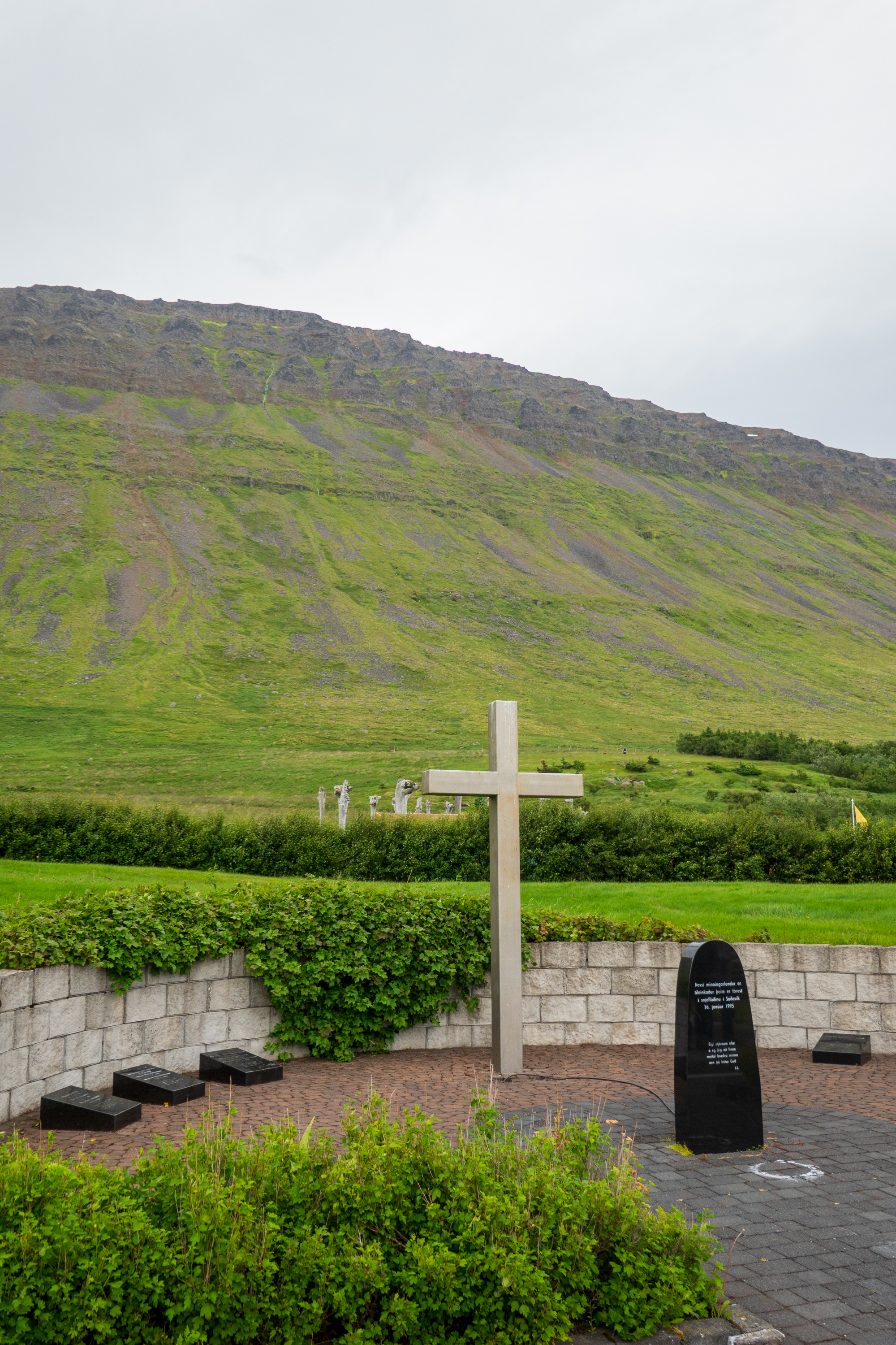
The day was cloudy and misty as we set out to visit Sudavik (Súðavík in Icelandic), the site of a fatal avalanche in 1995, the “Stolen” church, and the arctic fox sanctuary. The avalanche of 1995 swept away most of the houses and killed some fourteen people. Since then the village has been relocated and only “summer” houses are permitted at the old site.
The end of the fjord.
Memorial to the people killed by the avalanche.
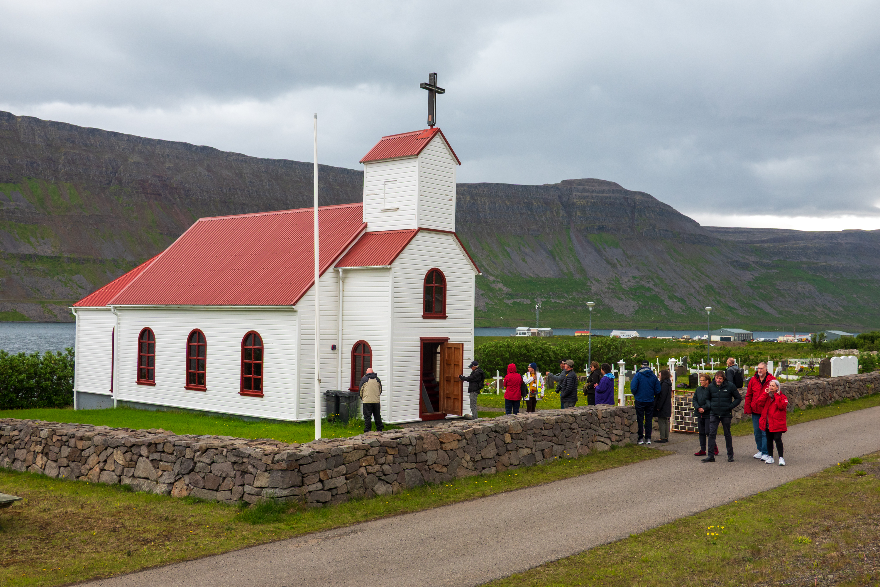
The “Stolen” church (Súðavíkurkirkja – there will be a spelling quiz) was originally built, with very expensive, imported Norwegian timber, in 1899 at a remote fishing village/whaling port. With the decline of fishing and whaling, the site was largely deserted the church fell into disuse. When the Sudavik congregation needed a new sanctuary, the church authorities refused to fund the project and told them to relocate the old building. It was reconsecrated in 1963 and the few remaining inhabitants of the original site claimed it was stolen. We enjoyed a simple concert.
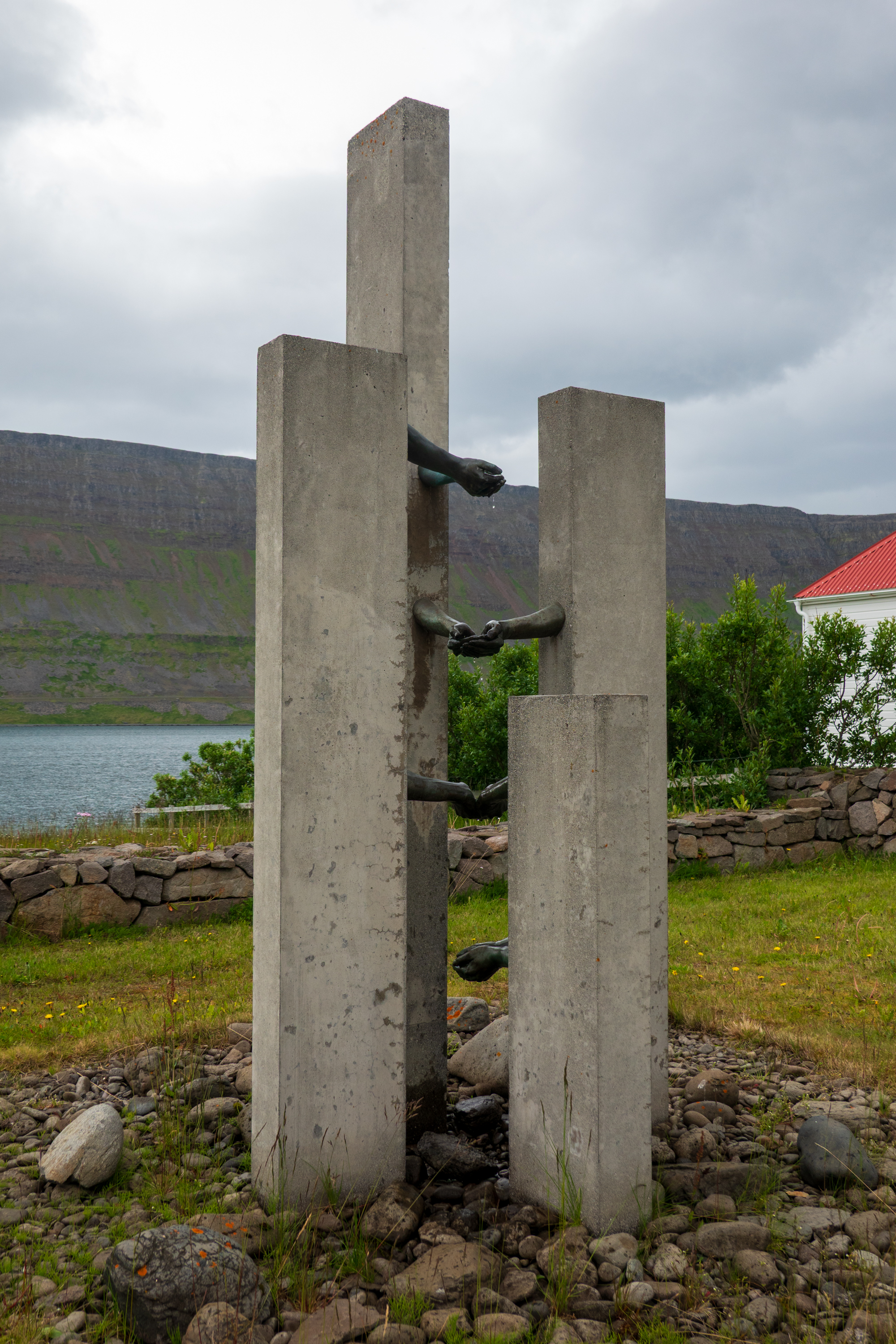
Memorial to lost sailors
The stolen church surrounded by tourists.
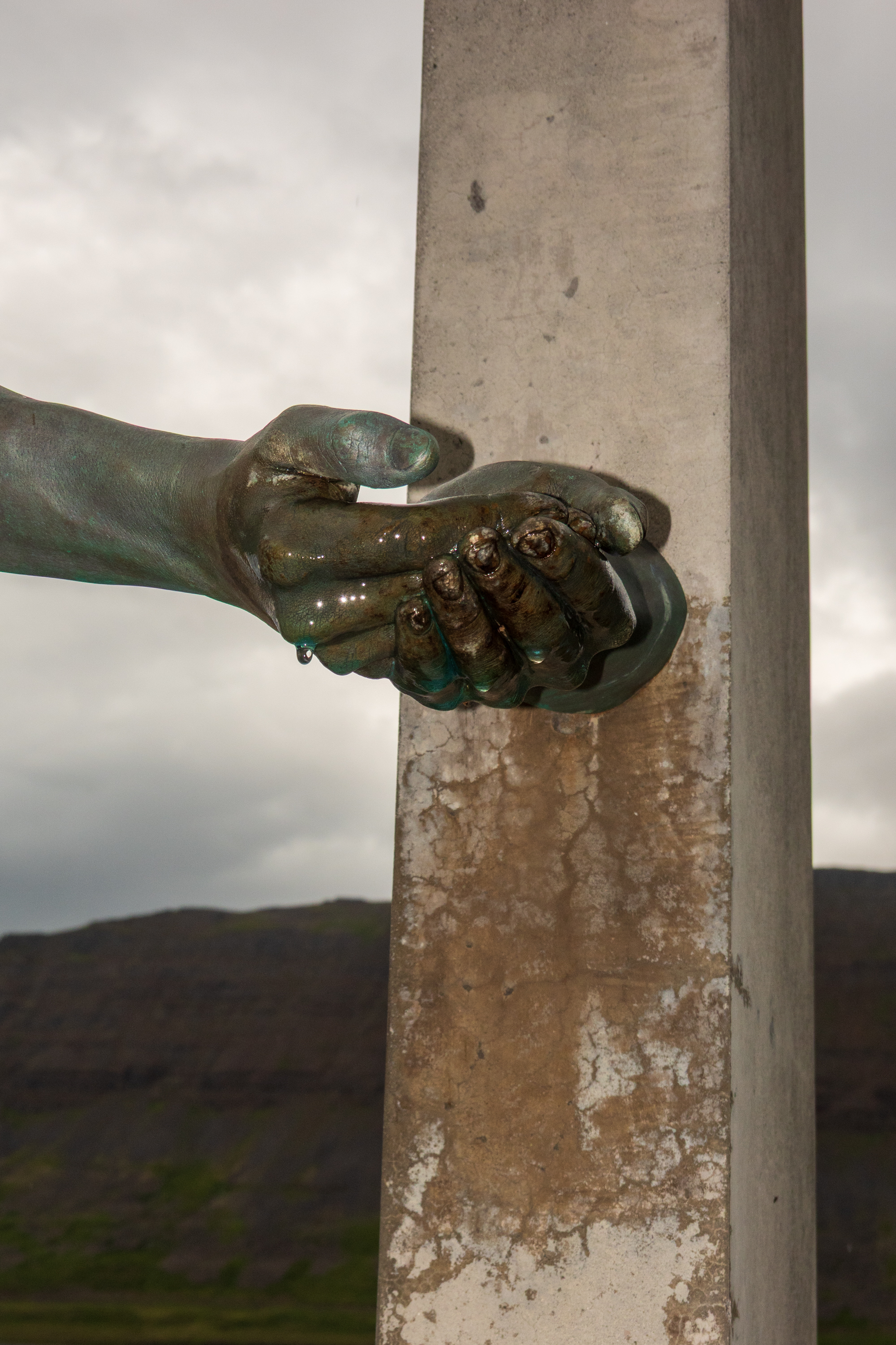
The sailors’ memorial features a fountain of hands.
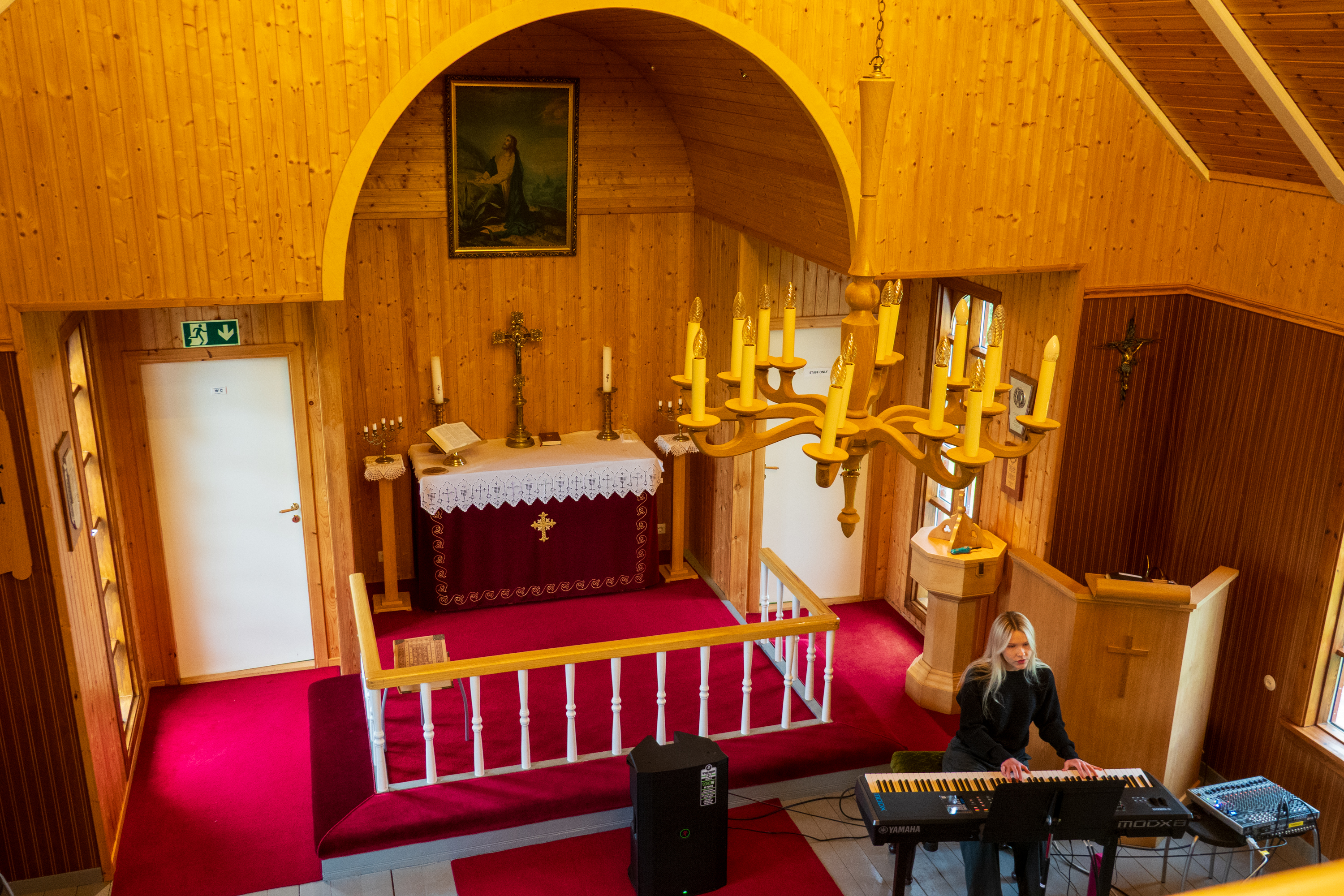
The interior of the church from the choir/bell tower.
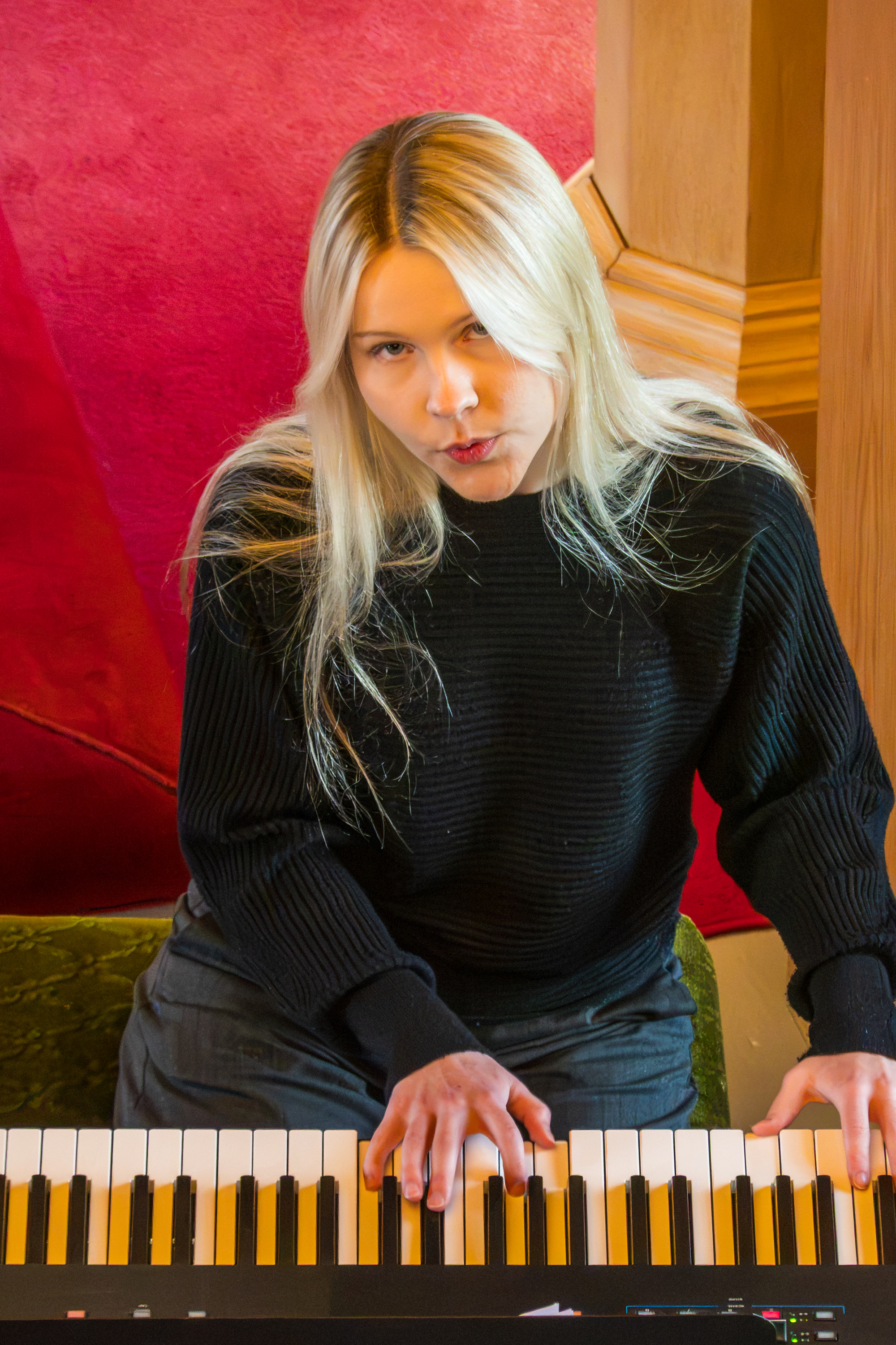
Young lady performed Icelandic songs.
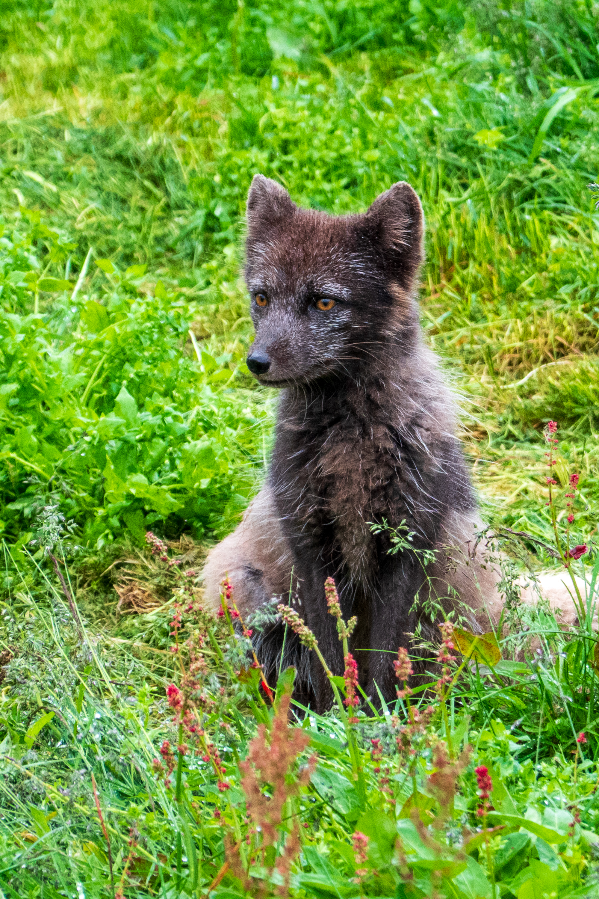
The arctic fox is the only native mammal in Iceland, living on birds, carrion, and, with the arrival of man, the odd sheep, goose, or chicken. These latter activities leading to their being hunted almost to extinction. We visited a small sanctuary where one, found as a cub, is being raised. They are quite small; hard to image them taking on a sheep.
Akureyri
Akureyri, or the capital of the north, was our next stop. Set at the end of the Eyjafjordur at the foot of the mountains, it was founded by Vikings in the ninth century and became a Danish trading post in the 17th century. It really felt like a town, with shops and a church, which still has stained glass windows from Coventry Cathedral which were relocated for safety during World War II.
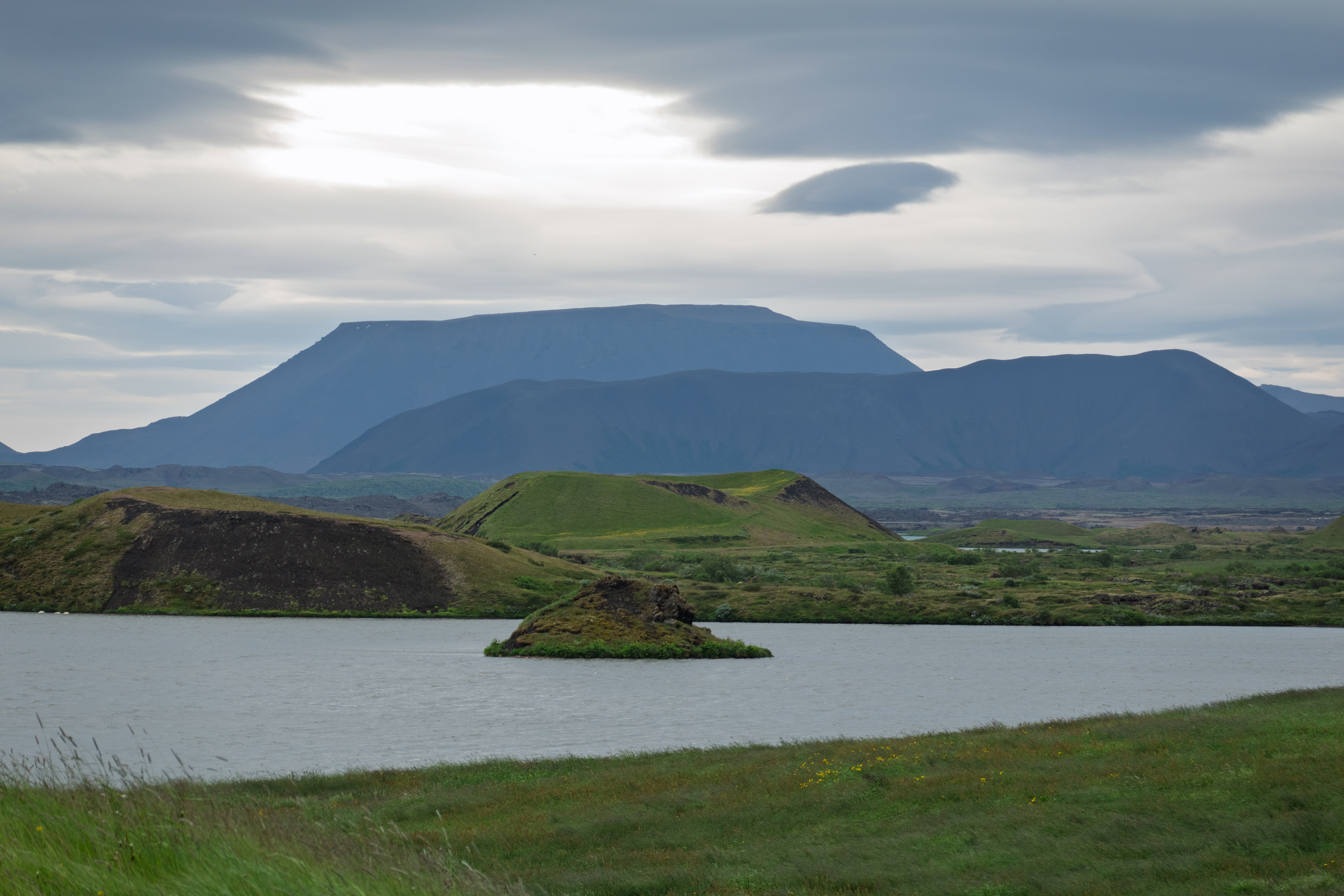
This was our day to see some scenery in the north of the country. We took a full day bus tour and started first at Lake Myvatn where we could see the lake views and the area of pseudo craters at Skutustadagigar. Pseudo craters were formed 2,300 years ago and are not true craters with a magma flow, but the result of hot, flowing lava crossing over wet, waterlogged wetlands. The lava traps the water and the heat turns it to steam. The resulting explosion forms a “fake” crater. Walking paths lead through it all and there is an interesting visitor center, which in addition to geology, discusses birds and, everyone’s favorites, two types of black flies. Hint: One bites.
Craters, lakes, and mountains
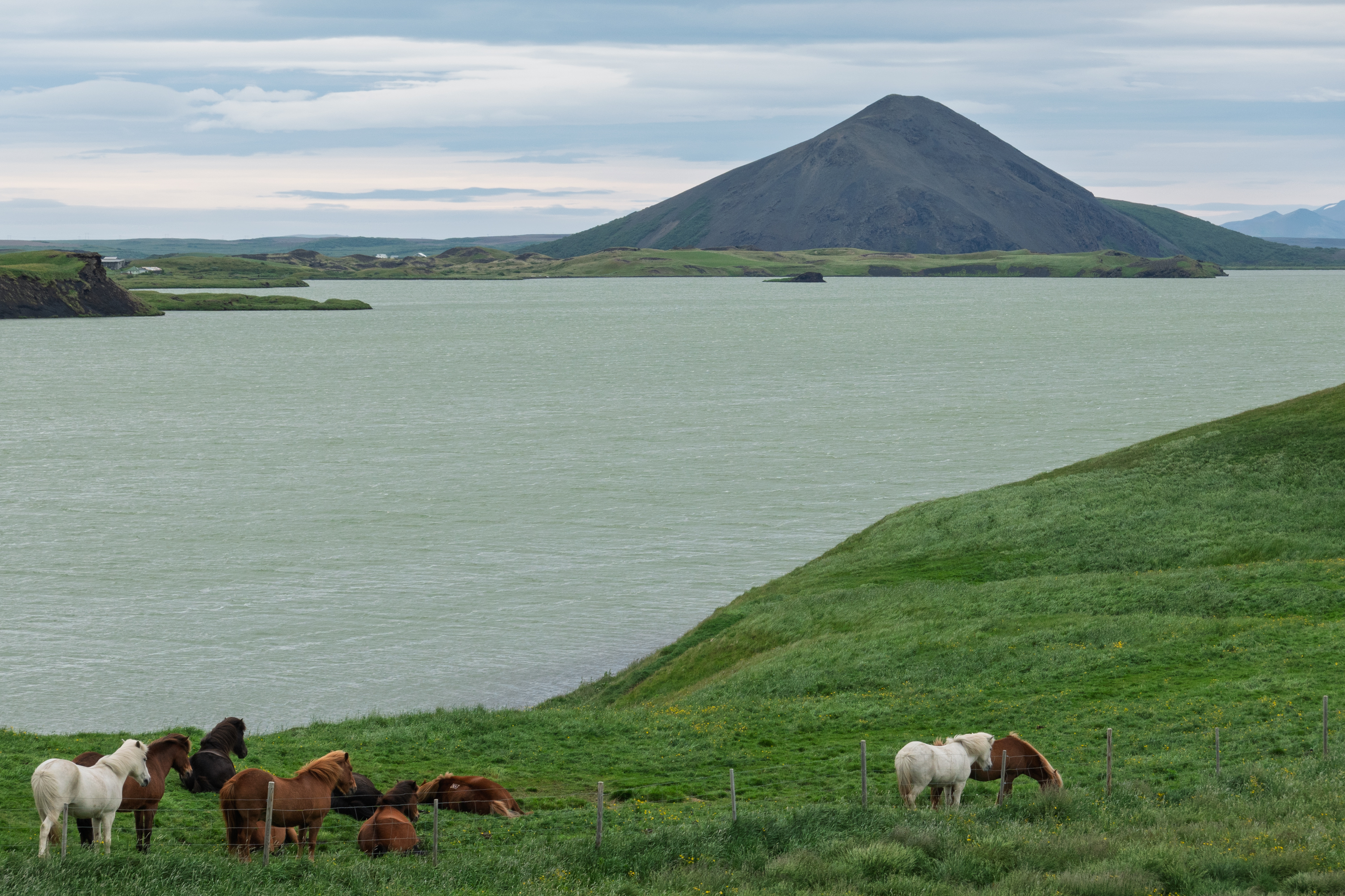
Icelandic horses
This was our first view of the diminutive Icelandic horses. (https://en.wikipedia.org/wiki/Icelandic_horse) The whole area is part of a large river delta and, as such, has more earth and thus more vegetation than other places.
We started by taking the easier trail up to one of the overlooks but then decided to take the second, harder trail to a second overlook for a better view.
Of course, the heavens then opened and we were quite wet when we got back on the bus.
The catwalks made parts easier, but much of it was closed for repairs and, for most of the way, it was just a rocky path.
We stopped for a great lunch of soup and salmon. Fred’s favorite, not! But even he admitted that it was very good.
On the way to Husavik, we stopped at an overlook to admire the river below the falls. Hljóðaklettar, and no, we can’t pronounce it either!
We then moved on to Husavik, an important fishing port and a major tourist center. There are lots of whales in these waters and Husavik is a whale watching boat center. It was almost not raining here, quite a shock!
Tired and soggy, we rode back to the ship.
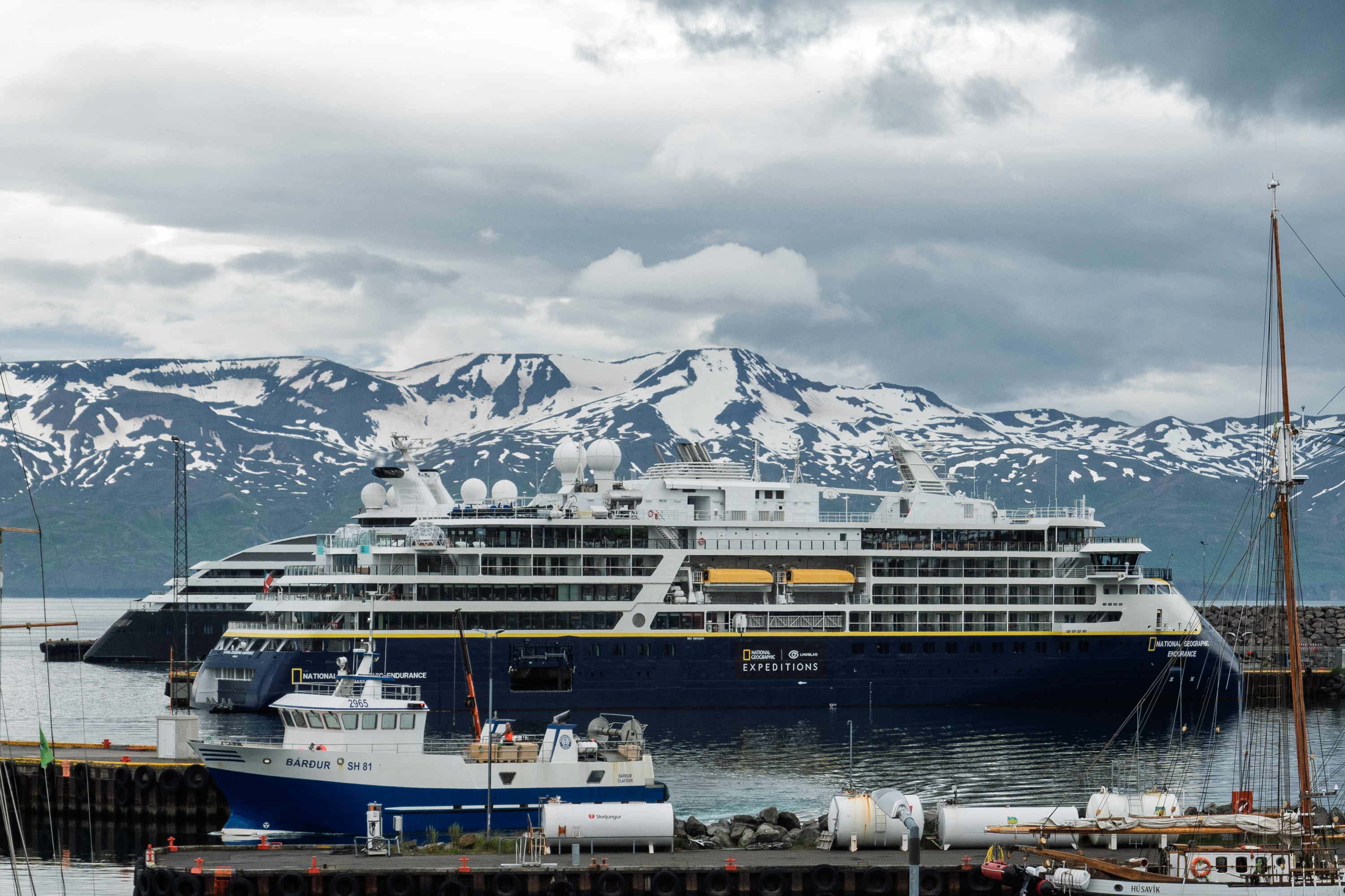
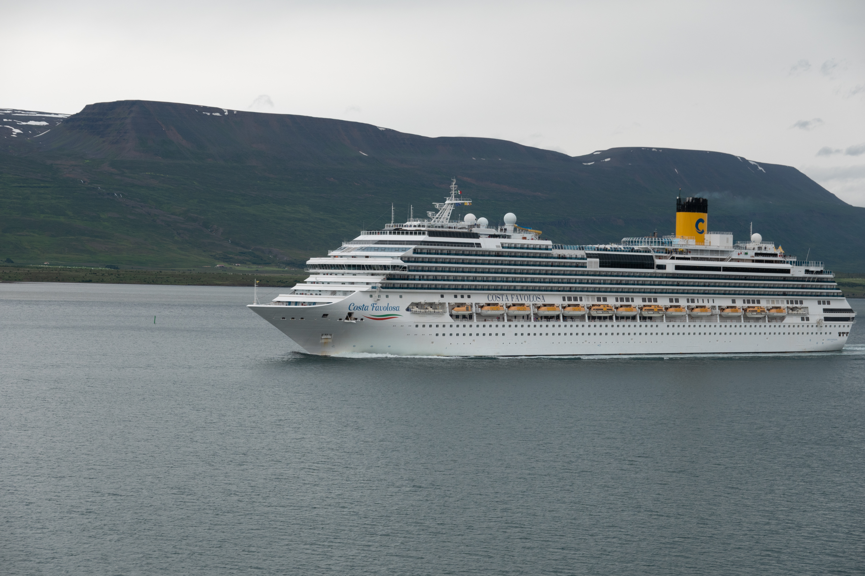
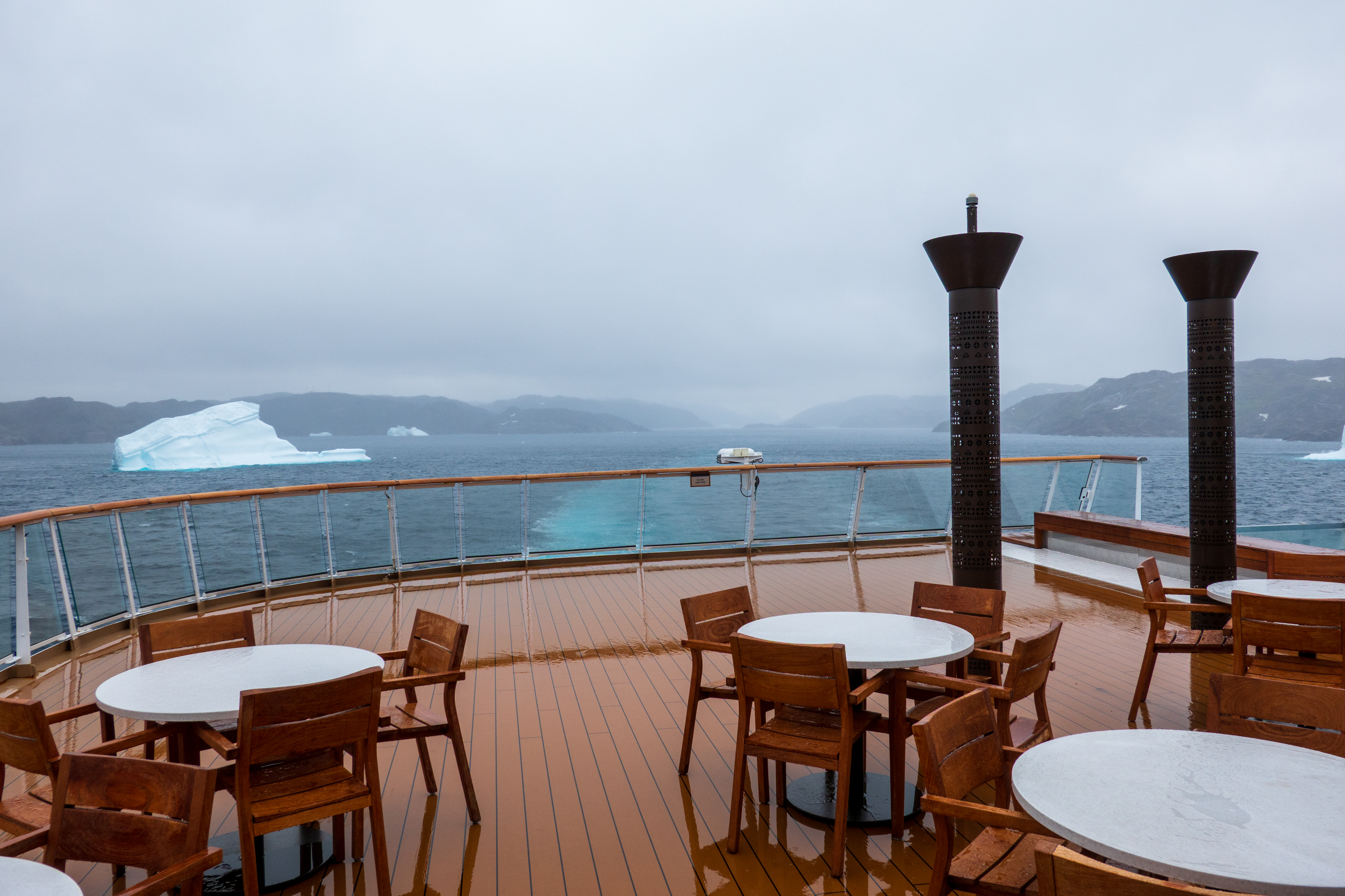
As we sailed away, we noted the two extremes of tourist vessels that we had encountered, the small “expedition” ships and the monster, mass market ships. (Guess 150 to 250 passengers per life boat/tender.)
Husavik
Sailing into Akureyri. We, fortunately, were sailing out!
Seydisfjordur
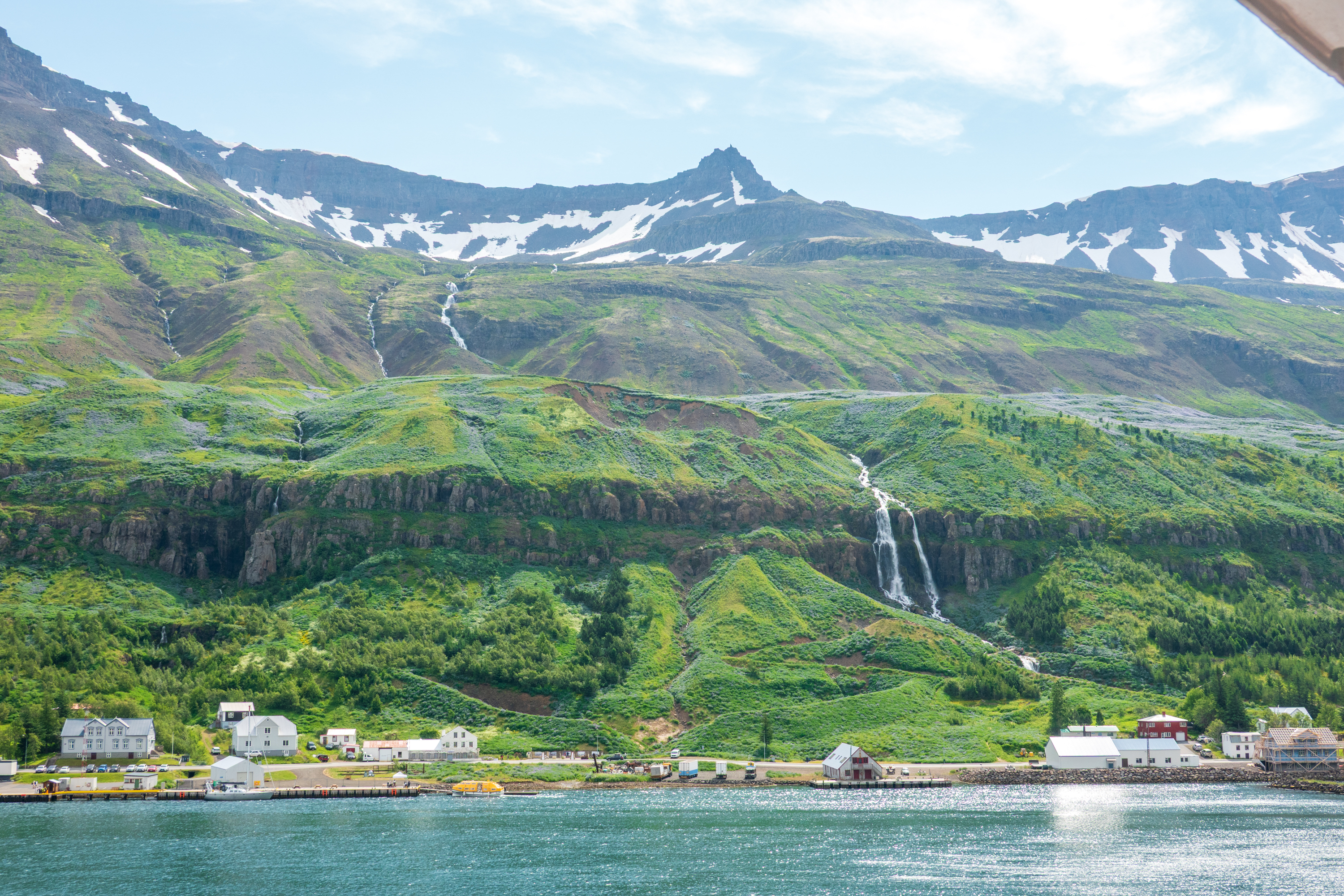
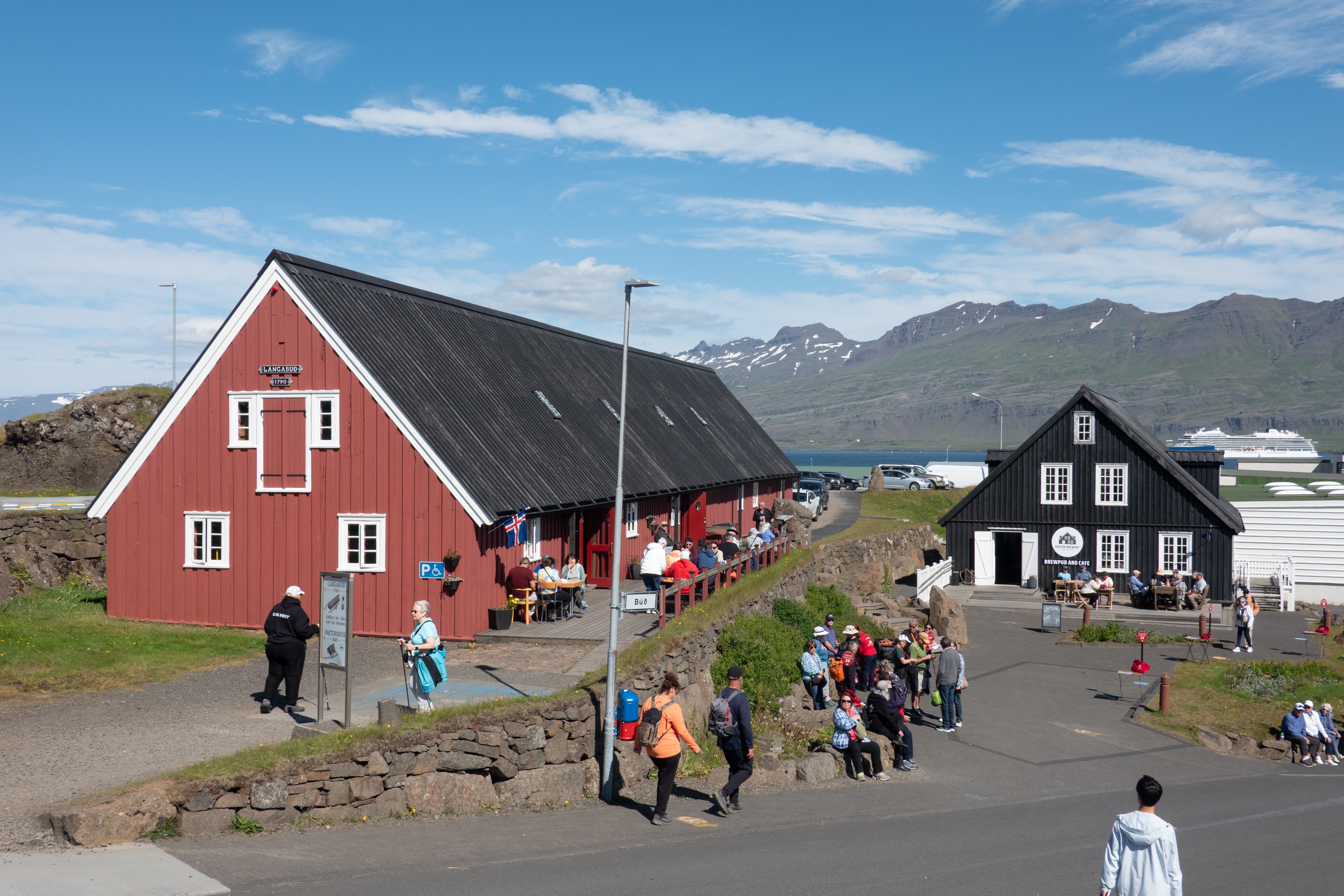
And on to Seydisfjordur on the eastern side of Iceland. To our amazement we actually saw the sun here! And in fact the town broke its heat record during the afternoon, so they thought we were great visitors. The sidewalk cafes, yes, they have them, were heaving – and not just with tourists!
The town was quite small but very vibrant. This is where the ferry from Denmark docks twice a week. Fred was fascinated to see all the campers starting to arrive a the ferry was due the next day. The town was founded, as usual, by Vikings and settled by Norwegian fishermen and merchants in 1848. It had the first telegraph cable linking Iceland to Europe and hosted the world’s first whaling station.
A few old wooden houses and the odd US military Quonset huts remained and were still in use.
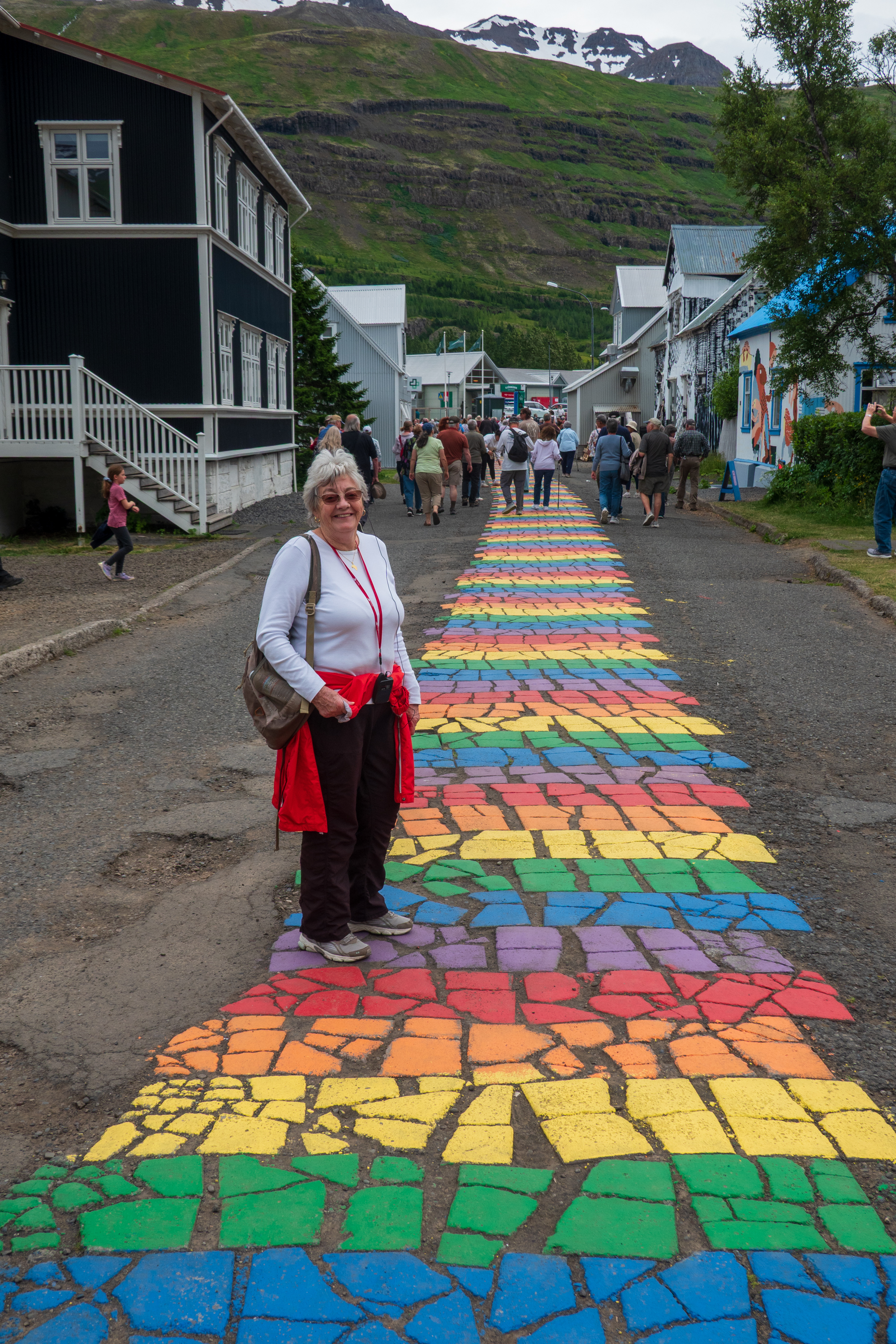
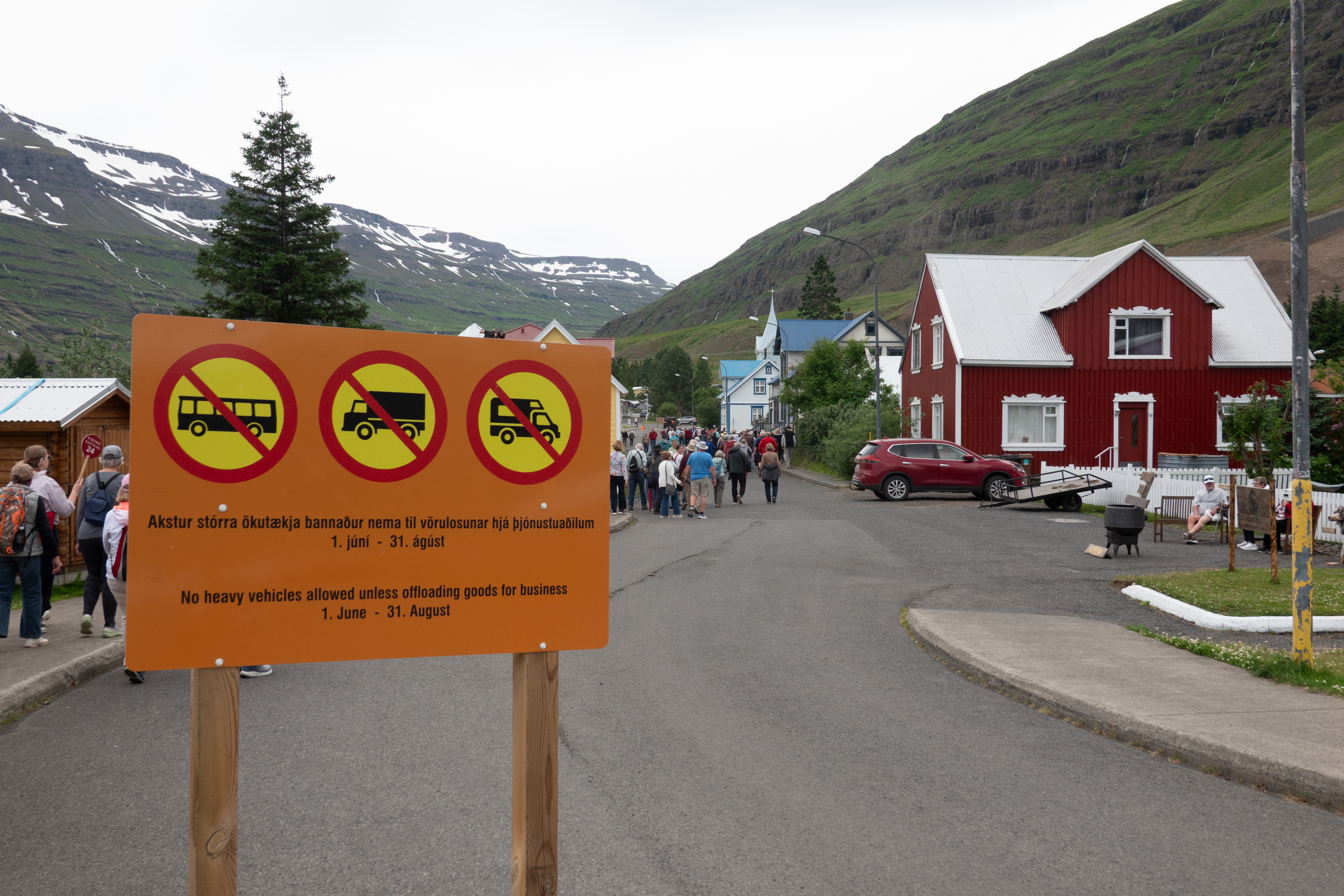
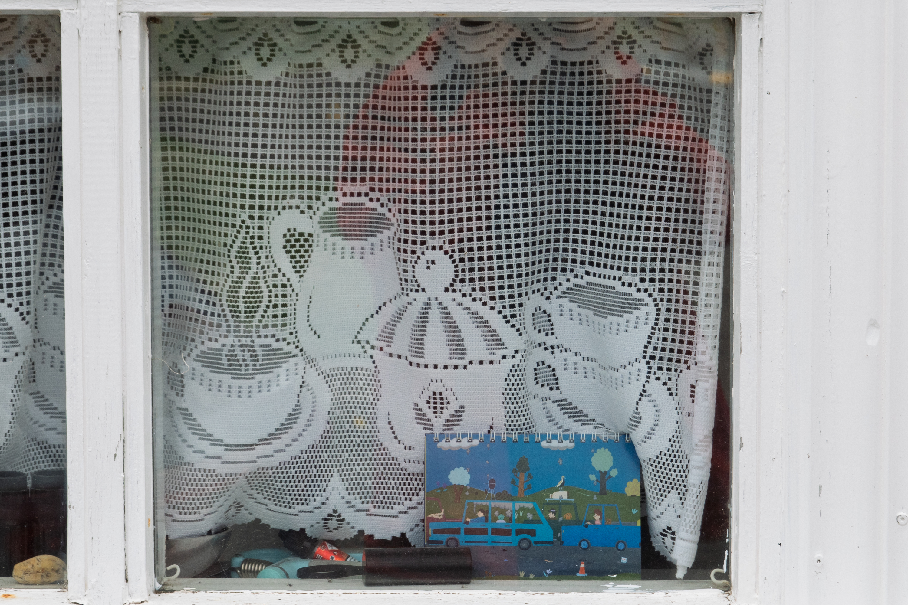
Denise admires the Pride walkNo busses, trucks, or campers allowed.Lace curtains at a cafe.
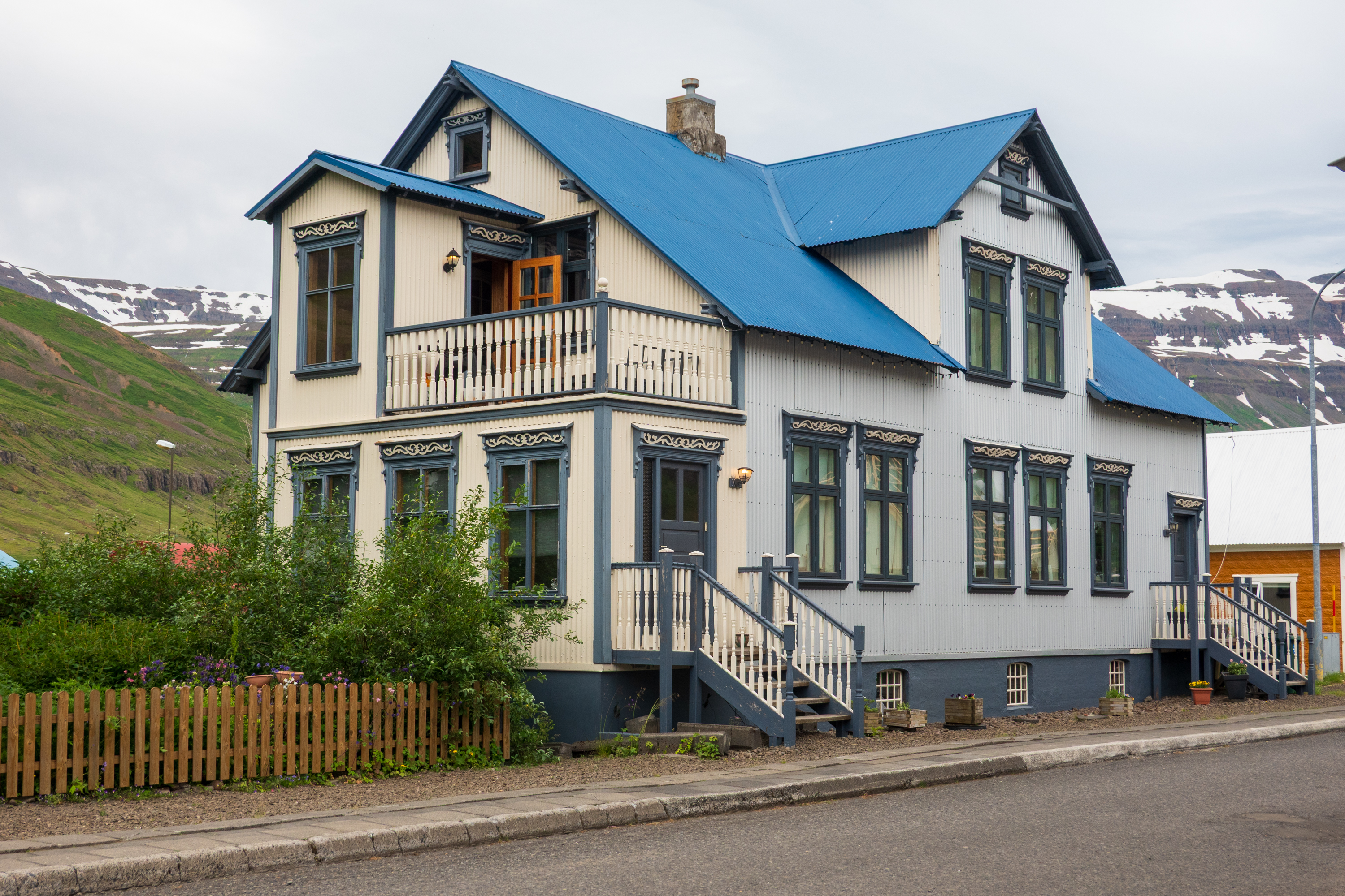
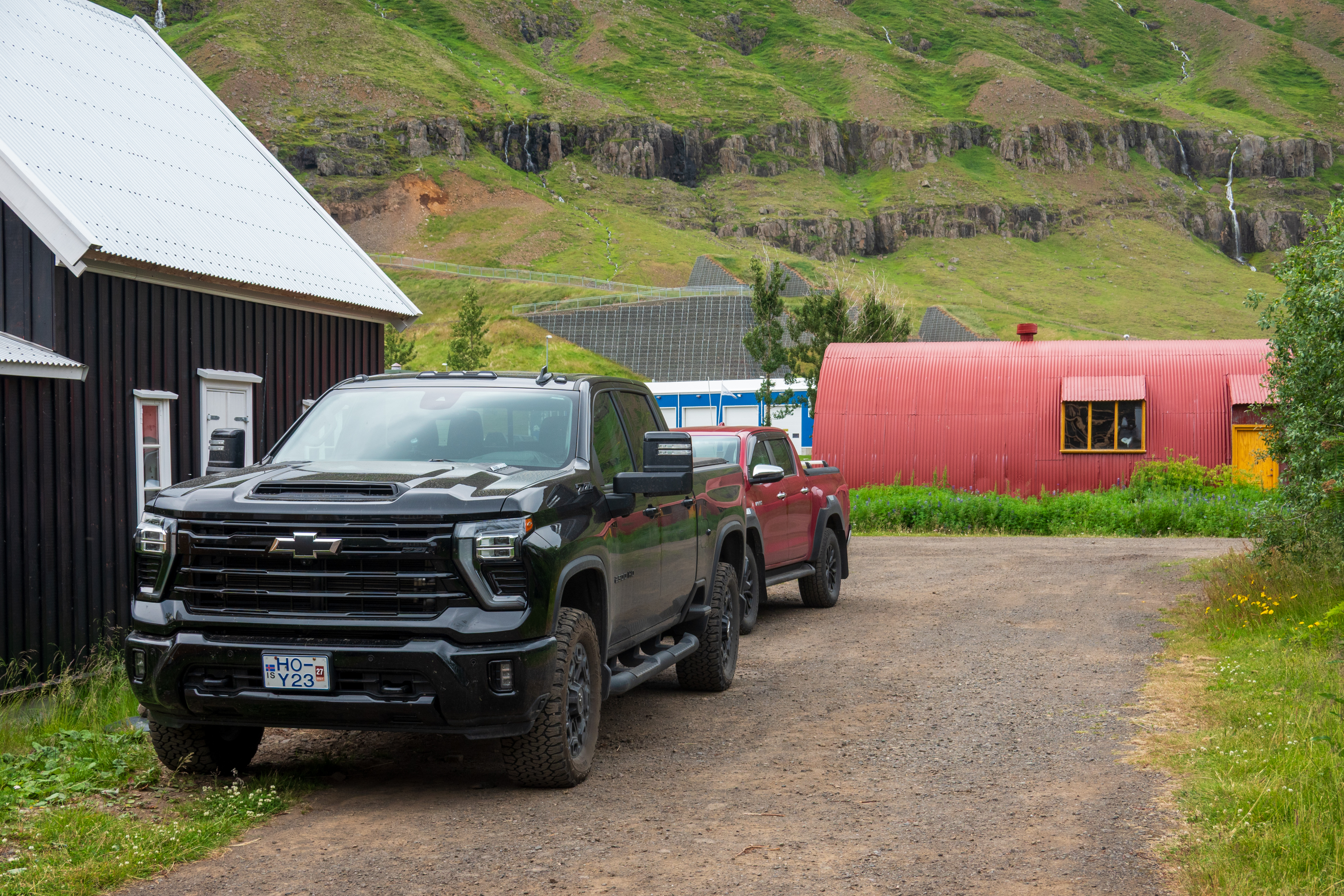
When you remember that all of the timber had to be imported from Denmark, you realize how expensive this house would have been. And why it is preserved – you STILL have to import the wood.‘murican imperialism: a Chevy by the levee and a Quonset hut. Many more US pickup trucks in Iceland than elsewhere in Europe.
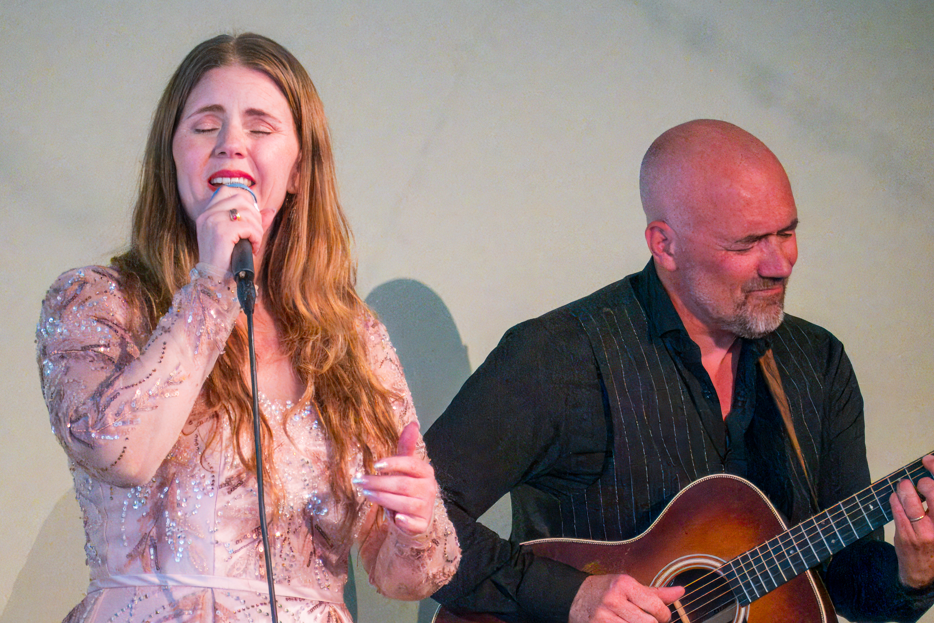
We wandered the town and then enjoyed a short musical performance by a local duo and a selection of local foods was offered.
They were really quite good and the guitarist was delighted to have purchased a nice Martin on a recent trip to Nashville.
Djupivogur
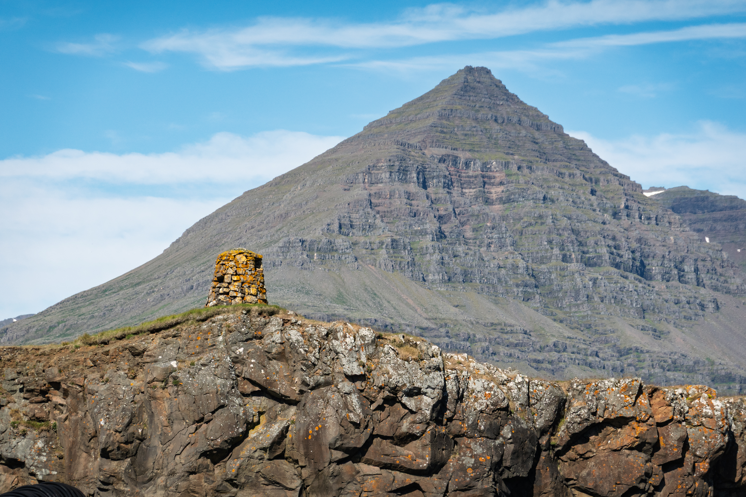
Djupivogur, population 472, our next stop, had been a trading center since the sixteenth century. It sits under the towering Bulandstindur, a mountain famed locally for its ability to grant wishes during the summer solstice. Today it ships a lot of salted cod (bacalao) to Portugal.
Mountain looked very like a tremendous pyramid
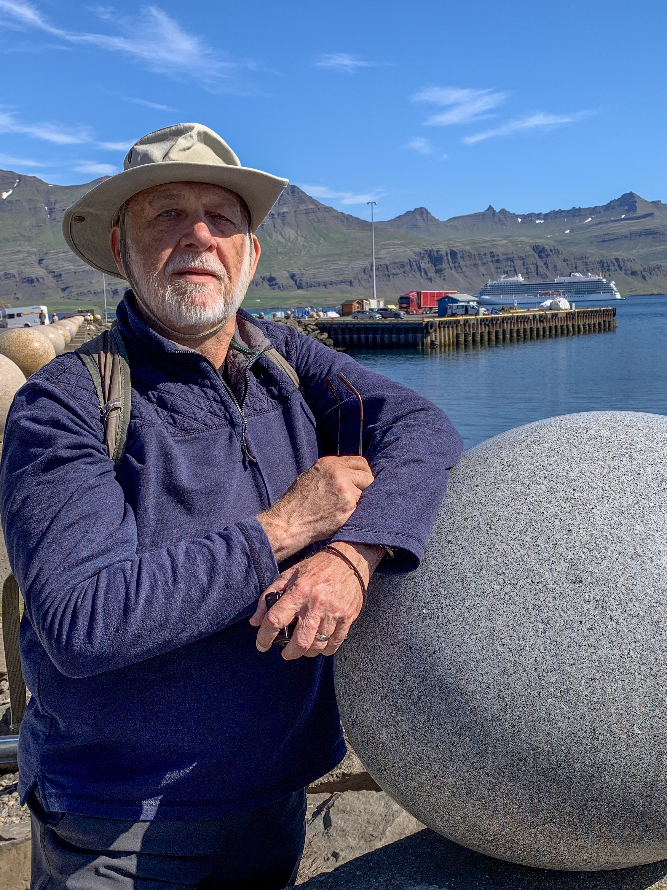
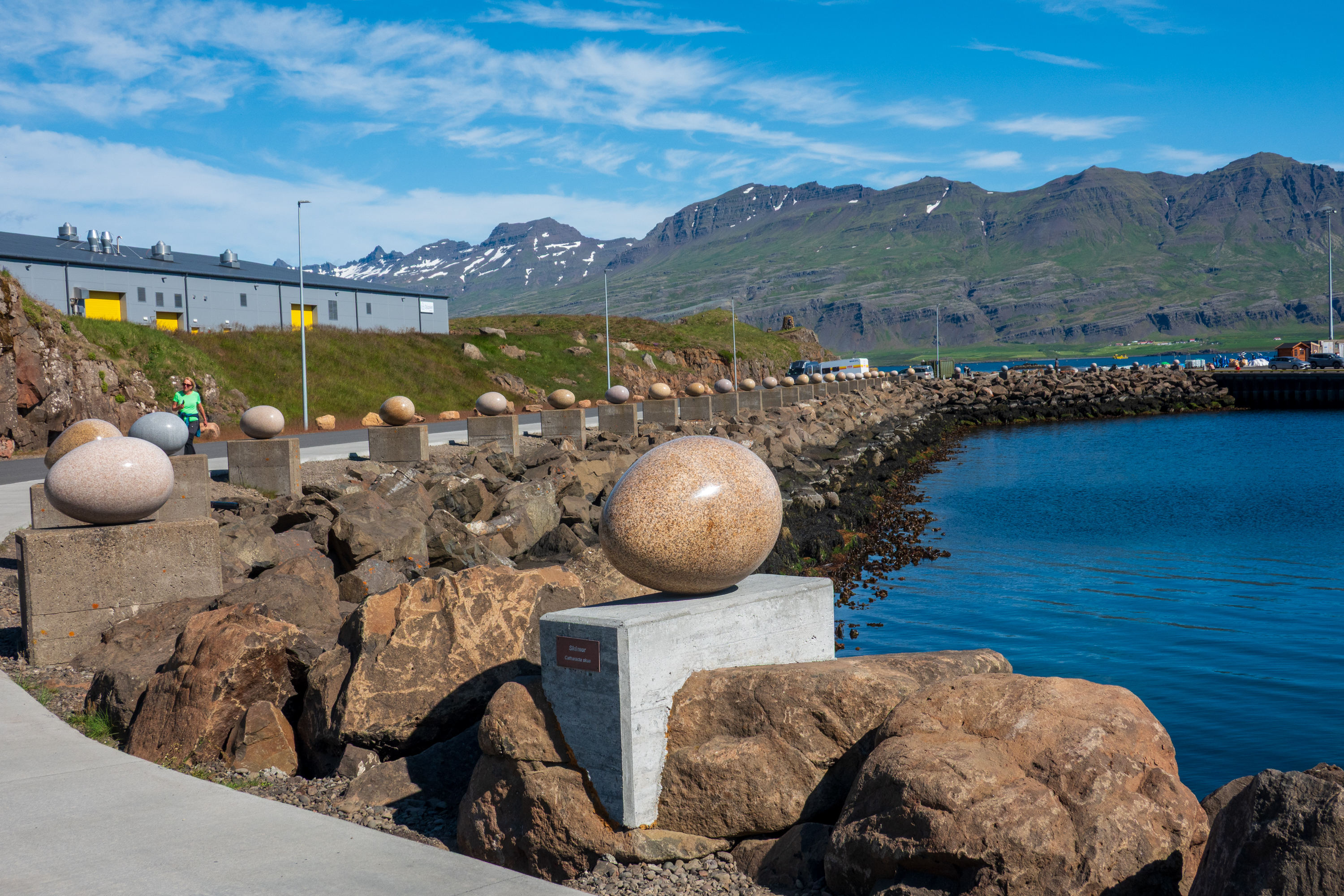
We missed the solstice but our wishes for a dry, sunny day were granted. We walked through town and went to see the Eggs of Merry Bay. An outside artwork by the popular Icelandic visual artist, Sigurður Guðmundsson, called Eggin í Gleðivík. (Eggs at Merry Bay) It consists of 34 huge granite eggs, which represent the eggs of each of the nesting birds in this area, many of which are migrating birds, flying over to Iceland from far away to lay their eggs in Iceland. Amazingly, the granite is from China, where the artist lives for part of each year.
Fred and an egg
A long row of eggs
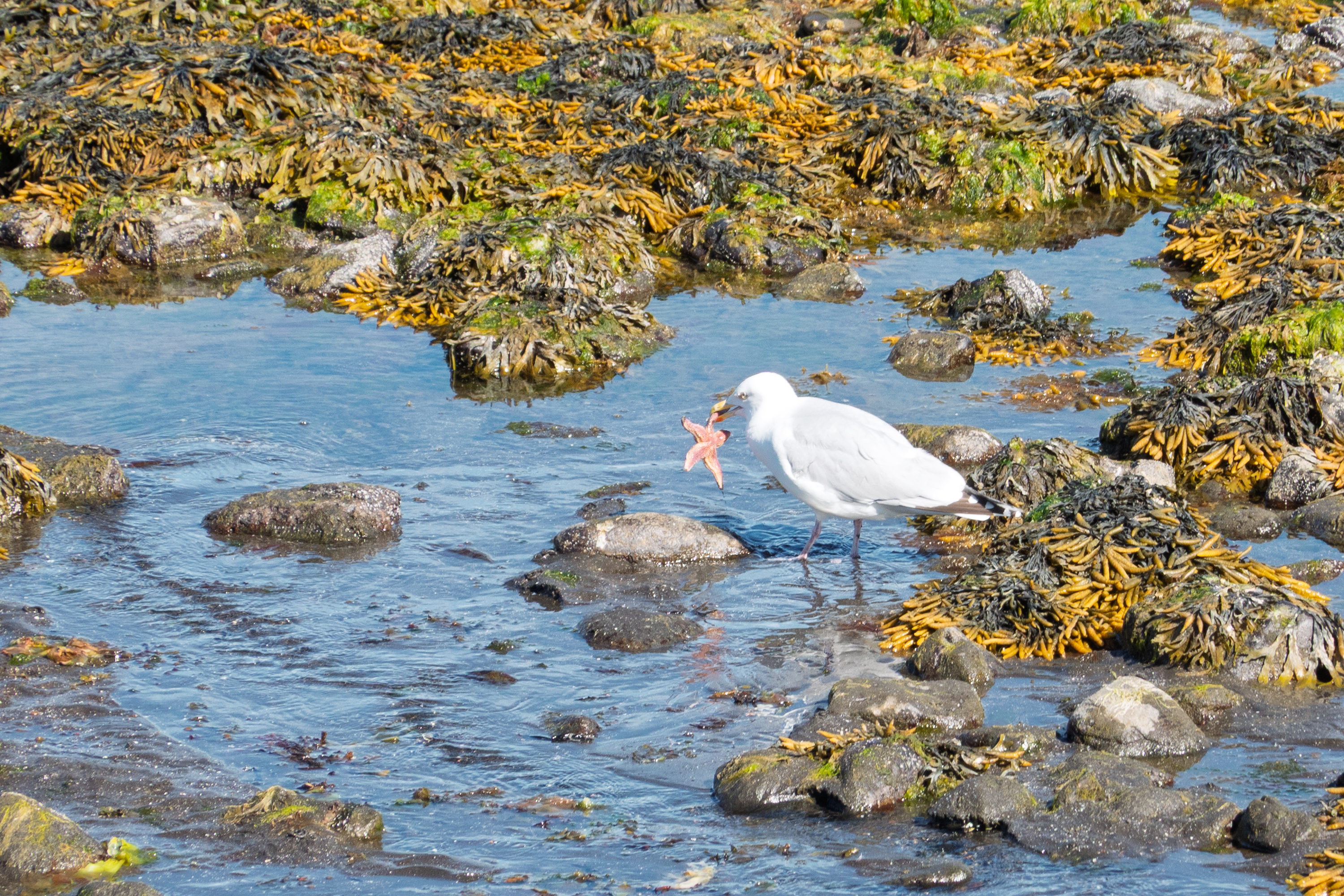
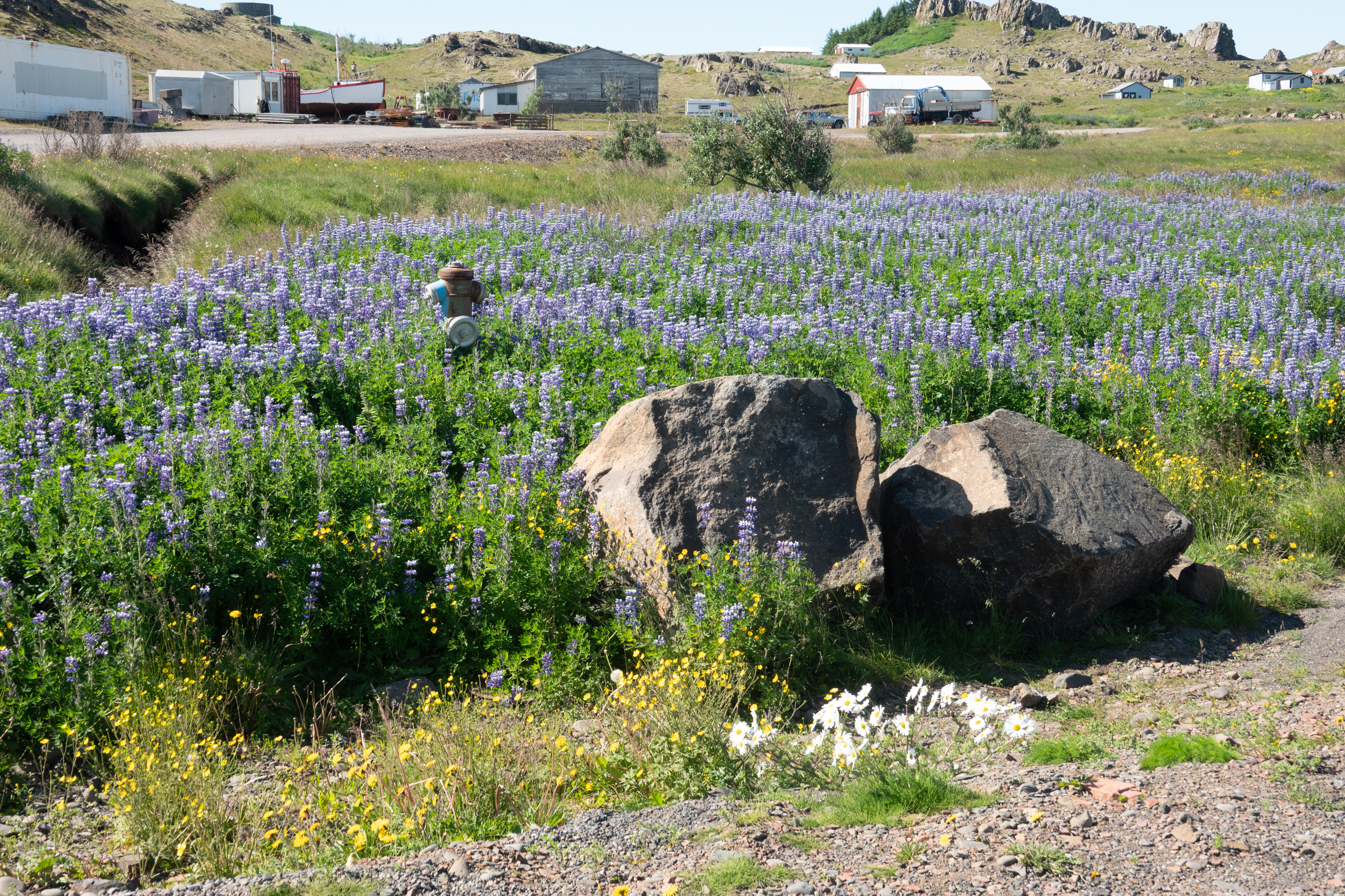
A starfish for lunchIceland’s famous Alaska lupins
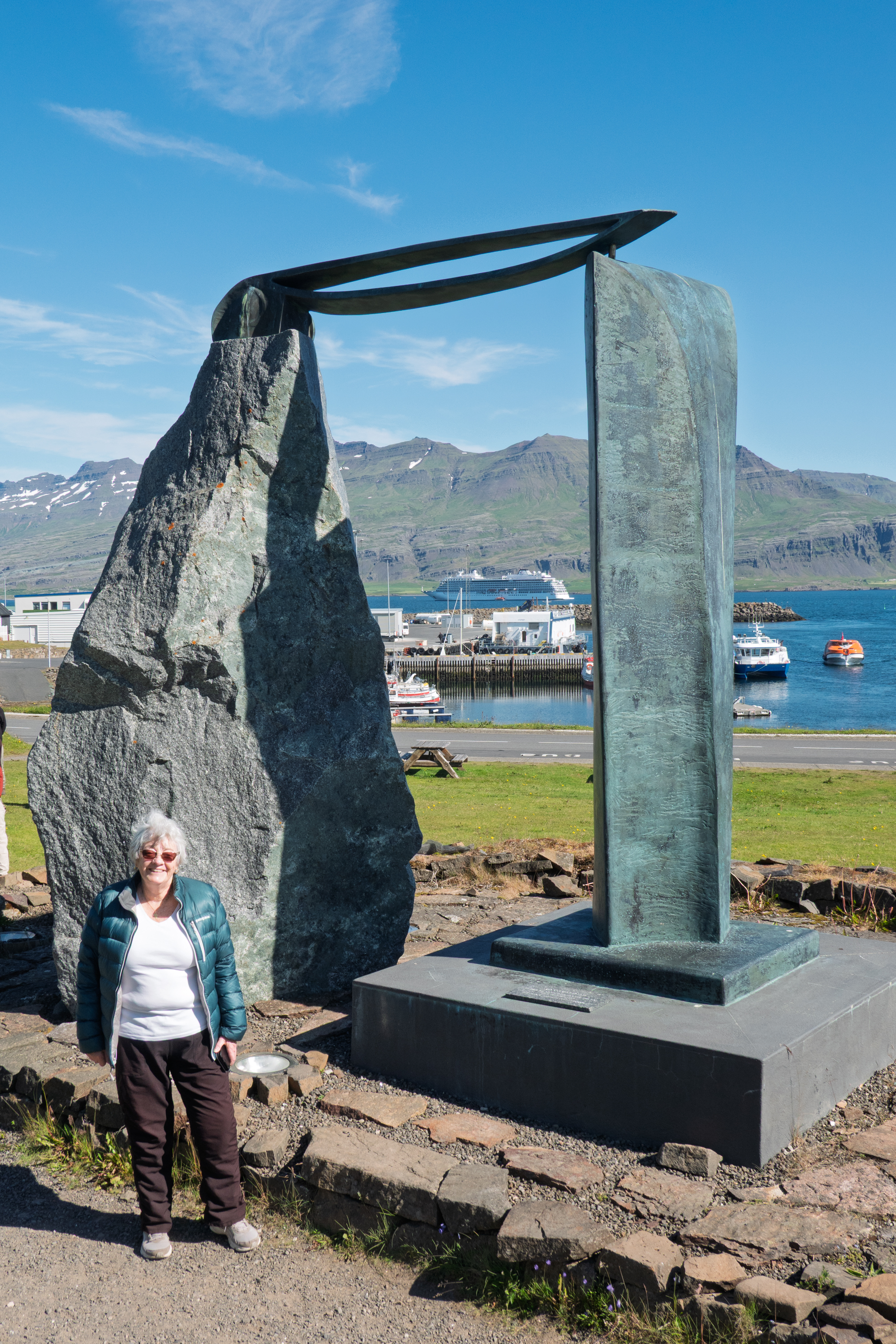
But is it art?
The town is very small and really quite industrial, but, with the sun out at last, it was simply magical. Crowds of people flocking to the tourist shops, cultural center, and hot dog and ice cream stands.
The weather really affects your impressions of a place! Suddenly the little rental summer houses actually looked attractive.
Cultural center/musem, building built by the Danes in 1790
Heimaey
Our final stop on the cruise was the island of Heimaey. It lies off the south coast of Iceland and is 3 km by 12 km long. (https://en.wikipedia.org/wiki/Heimaey)
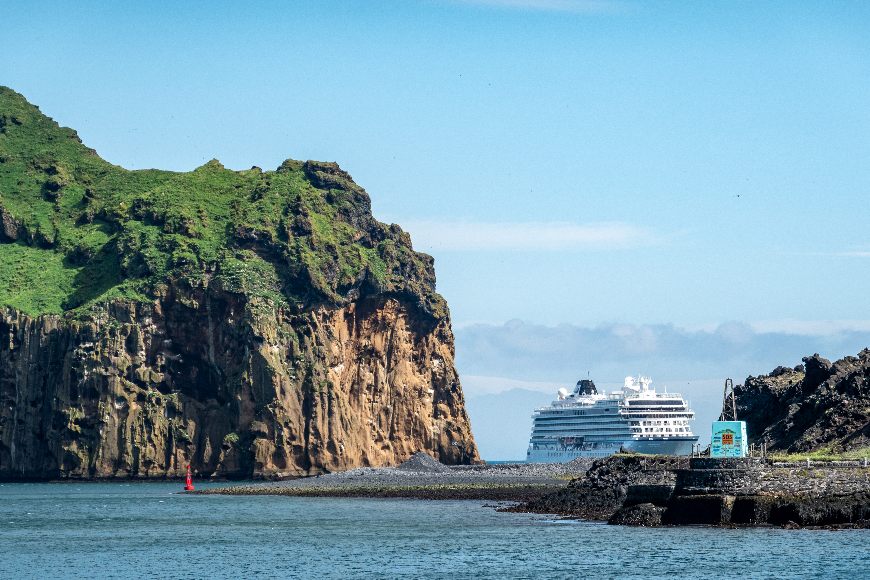
Viking Neptune at the entrance to the harbor. Not anchored, they kept station the whole time we were ashore.
Heimaey is the only inhabited island in Iceland’s Westman Islands, known for its sea cliffs, puffins, and volcanic history. From Viking settlers to the shocking 1627 pirate raid by Barbary pirates, Heimaey has a rich past. (https://en.wikipedia.org/wiki/Turkish_Abductions) As an aside, it is an article of faith among many Euro/American writers that the North African pirates were poor sailors. This is clearly not true.
In 1973, a sudden eruption of the Eldfell volcano reshaped the island and forced a full evacuation. There is a daily ferry to the mainland which runs as much of the year as is possible. Like all of Iceland, fishing is important and in summer, Heimaey’s cliffs become nesting grounds for millions of seabirds, including puffins. There is a sea life rescue organization on Heimaey. We stopped in, but could not see the whales. (https://belugasanctuary.sealifetrust.org/en/)
Click to zoom in!
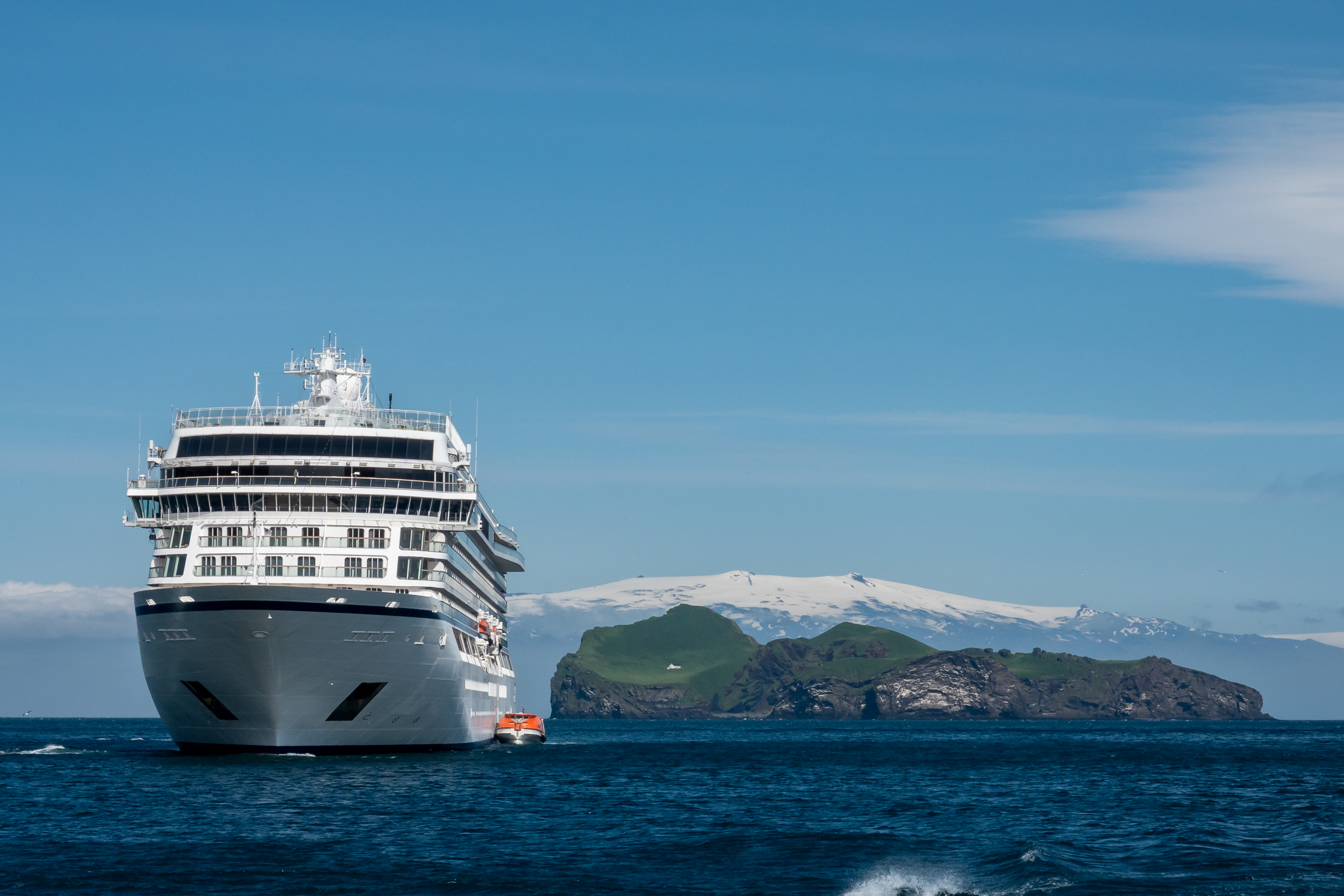
Three neat things in the same photo:
— Notice that both anchors are still aboard. Ship held station all day with engines and thrusters.
— Big island, small house. That is Elliðaey, the island with the loneliest house in the world. It is actually a hunting lodge. Or, if you believe the local wags, a place for men to go drink beer.
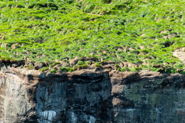
We had picked one of the popular boat tours to see the birds nesting on the cliffs and were lucky to have a wonderfully sunny day. We were disappointed, however, that although we saw thousands of puffins, they were all at a distance up on the cliffs. Our puffin viewing in Northumberland, UK near Holy Isle where we saw puffins up close, had spoiled us!
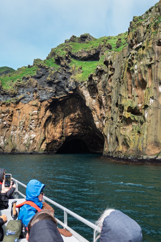
Other than a typical strong wind, the boat ride was enjoyable and we briefly sailed into one of the caves in the cliffs.
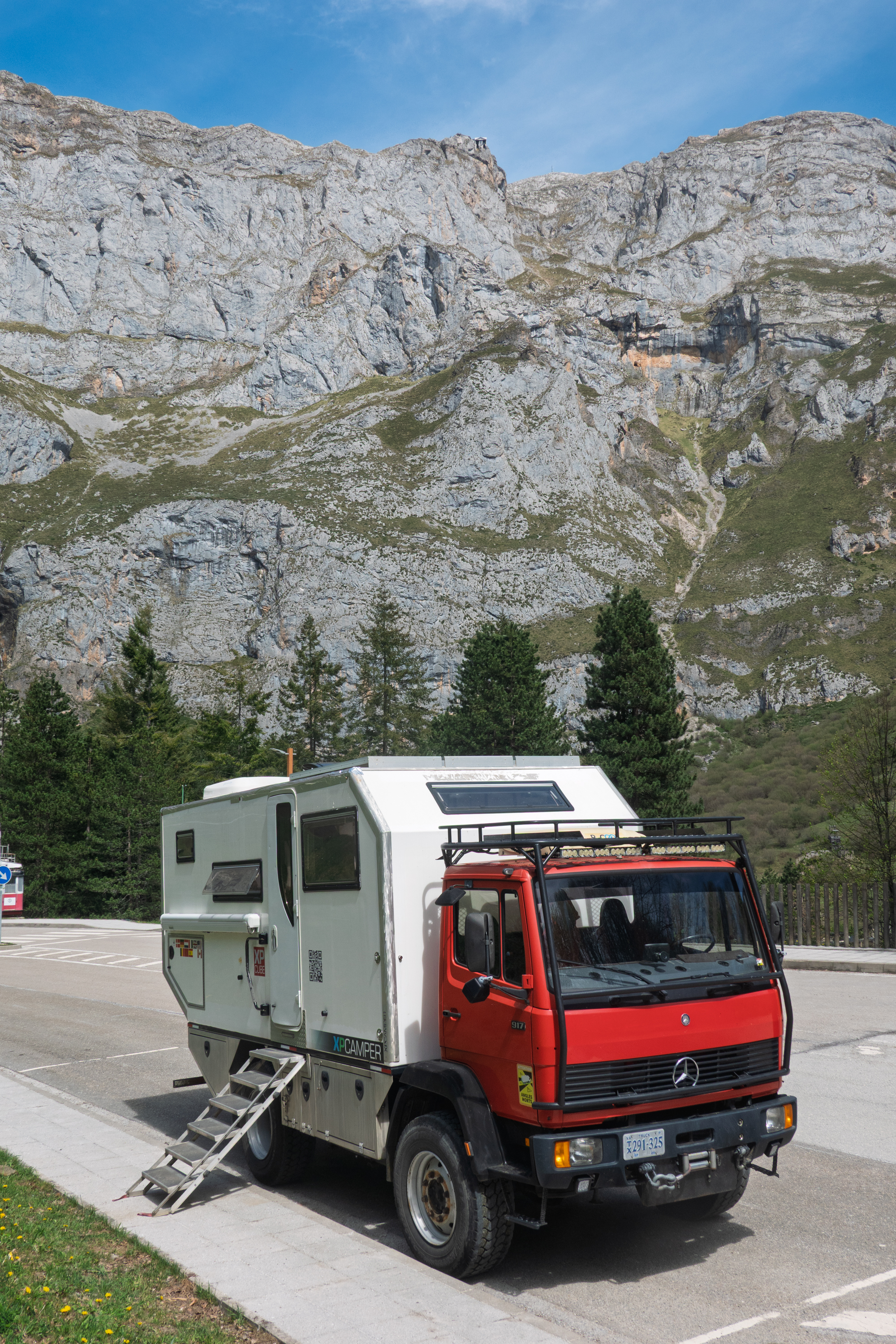
We wanted to visit Iceland, both to see the country and also to catch up with Denise’s cousin and his wife. The (multi) thousand dollar question was whether to take the 917 camper or not. There is a weekly ferry from Denmark to Seydisfjordur on the eastern coast of Iceland. The trip takes two nights and, on the return, there is an obligatory stop in the Faroe Islands for two days. And so, of course, we reviewed the blogs of two friends who made the trip in 2015. (https://archive-travelin-tortuga.com/europe/europe-2015/icelandic-sagas.html and https://www.whiteacorn.com/posts/trip/rtw/150625) All of this would have taken longer than time available this year, so we decided to take a ship, with Viking, which would visit Canada, Greenland and Iceland, and we could take extra time in Reykjavik to meet up with family.
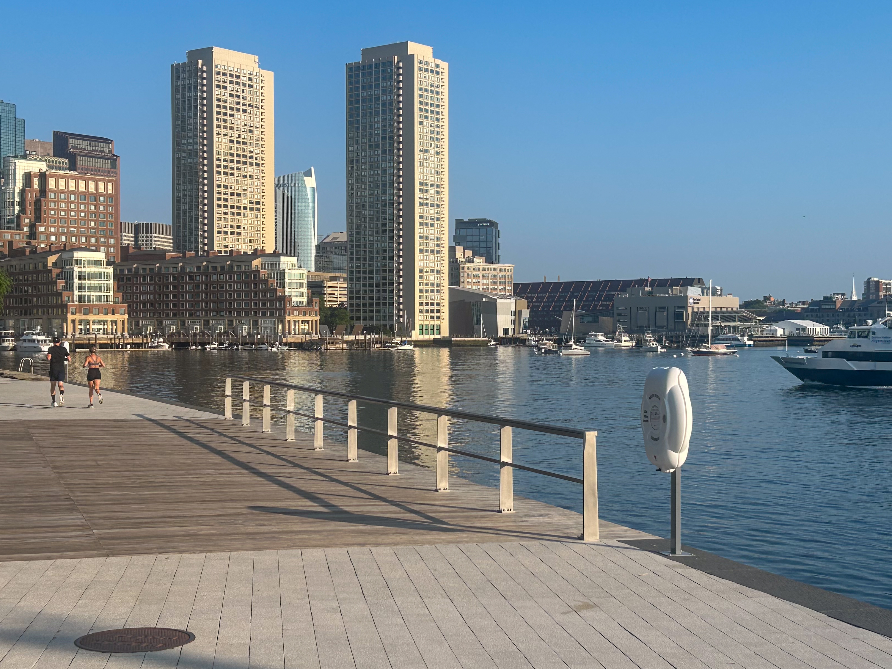
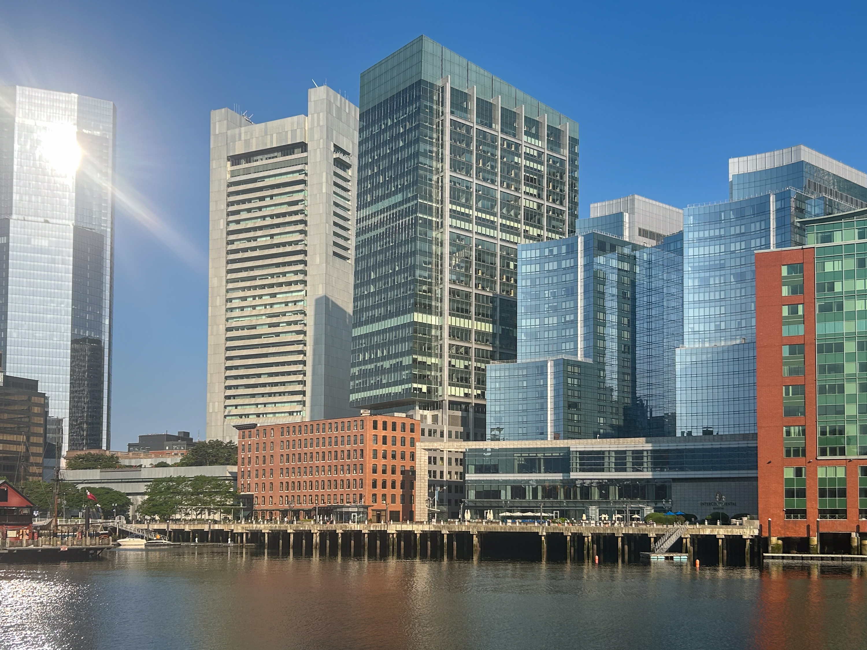
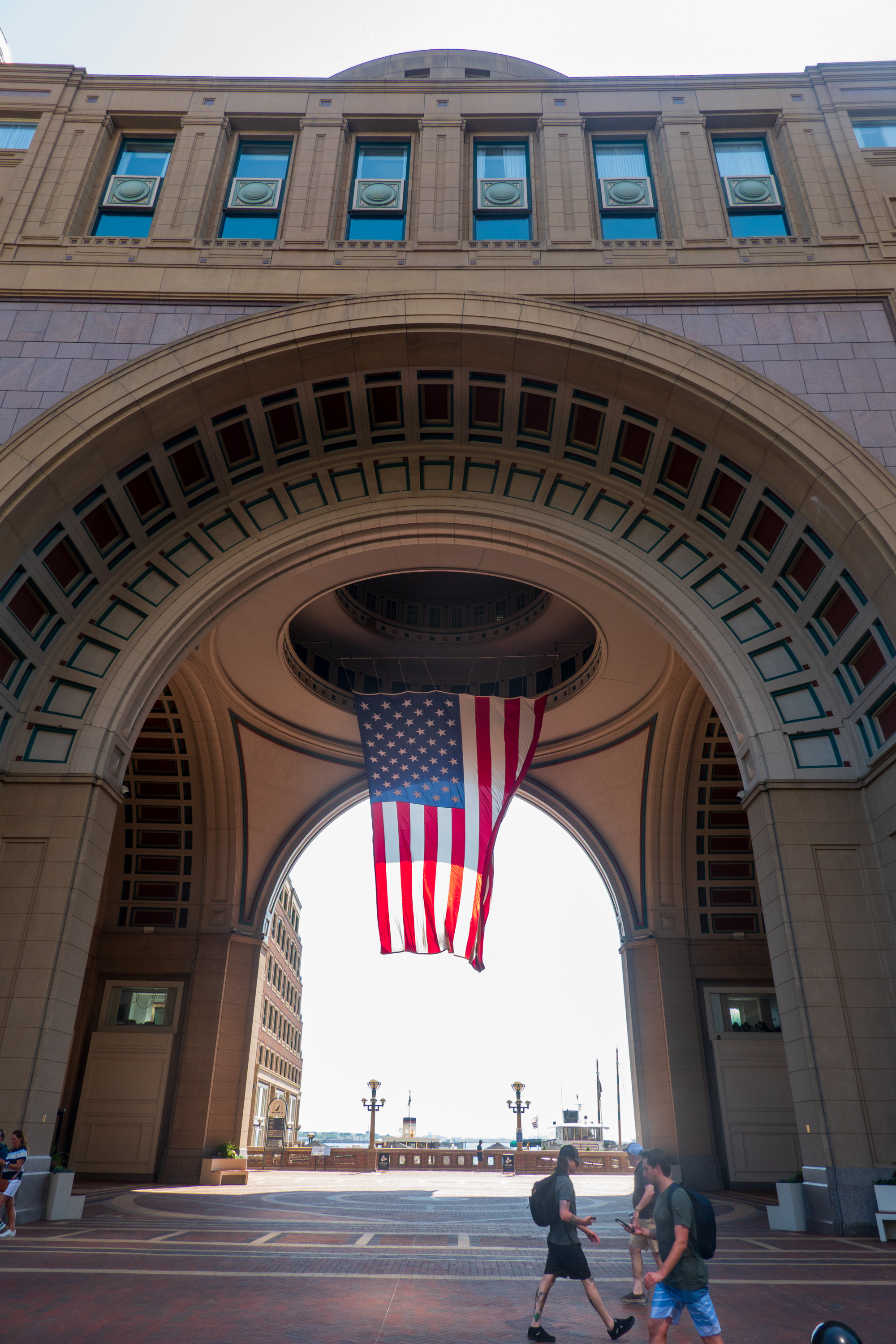
The beginning of the cruise moved from New York to Boston because the Tall Ships were taking all the docking space in New York. This was a celebration of the July 4 holiday. We took advantage of the pre-stay and spent two nights in Boston before joining the ship. The hotel was well placed by the Harbor Walk and we enjoyed early morning strolls along it, viewing the historical information panels along the way and admiring the views of the city a little further away.
View from the Harbor Walk.
Our hotel was the silver building in the center.
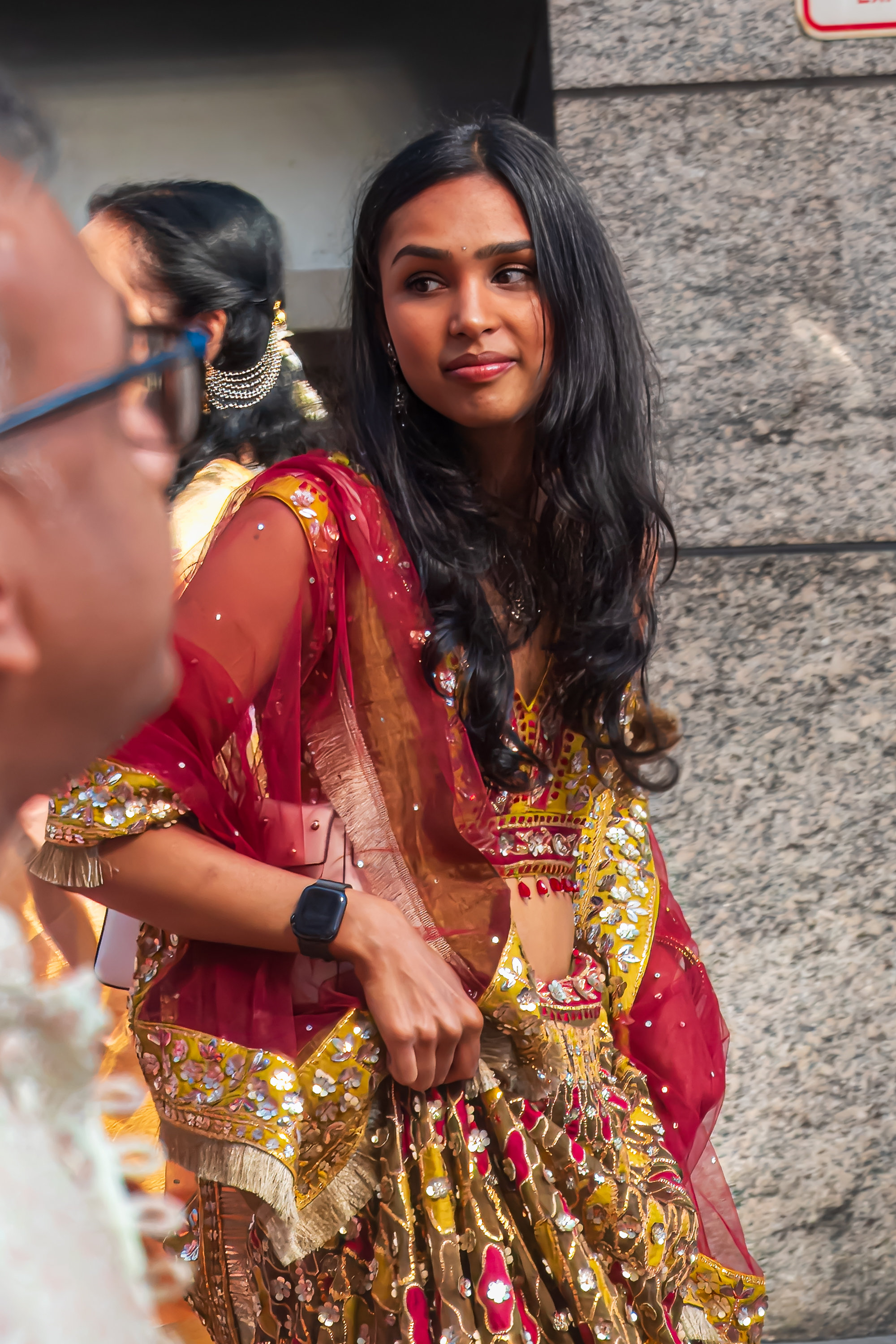
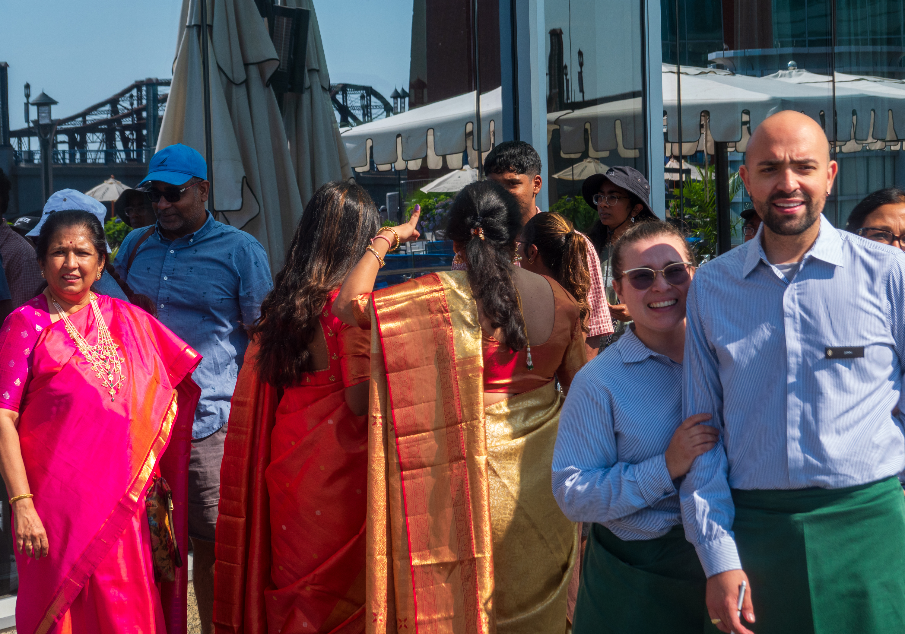
We even got to enjoy being on the sidelines of an Indian style wedding! Lots of color, fun and, of course, drums!
The bride.
Two of the hotel staff came out to join in the procession.
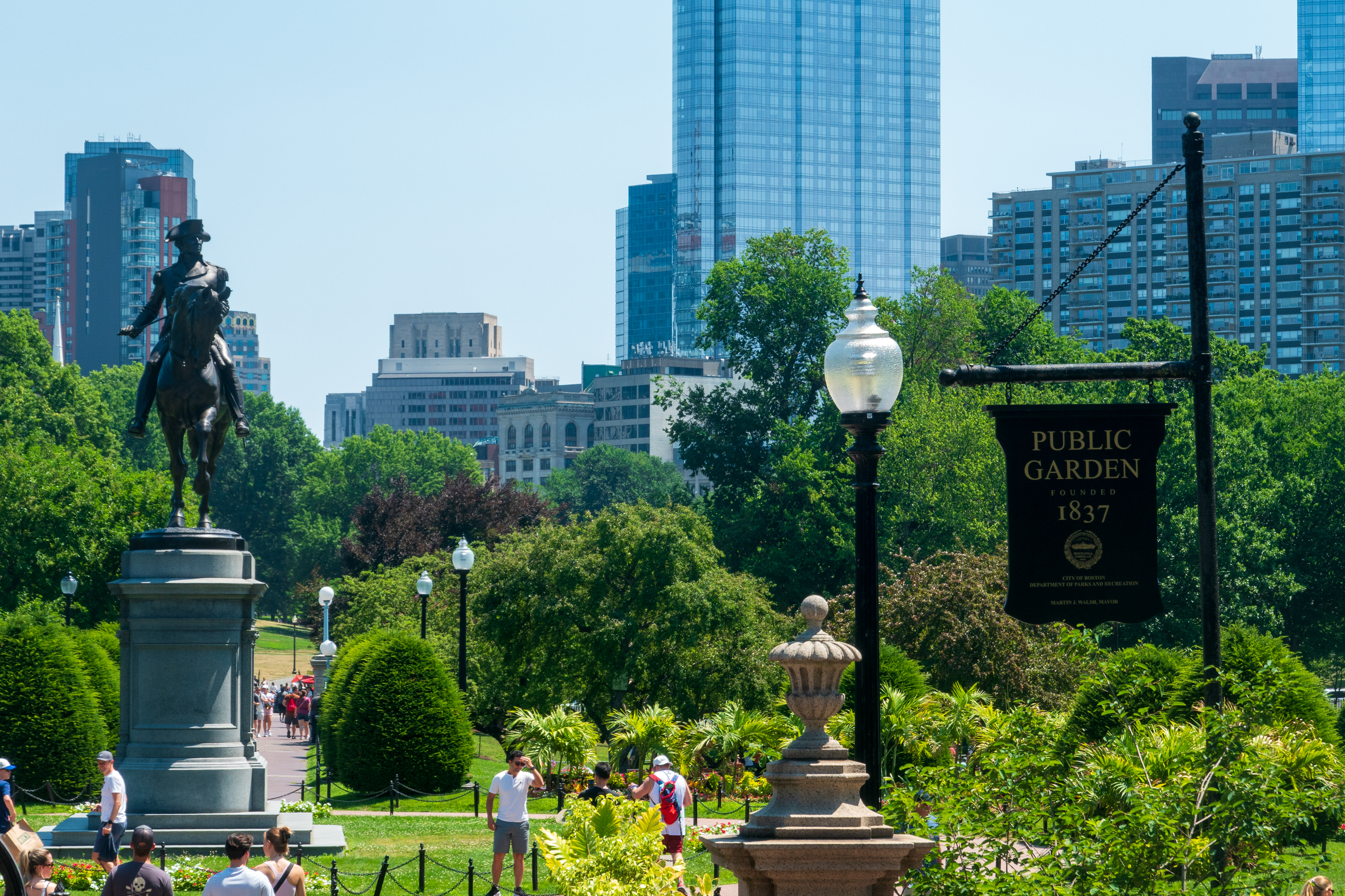
We have been to Boston on several occasions (Fred went to university there) and, as it was very hot, we decided to take a hop on hop off bus to renew our memories.
Boston was gearing up to celebrate the 4th and we felt sorry for the costumed re-enacters who looked very hot indeed!
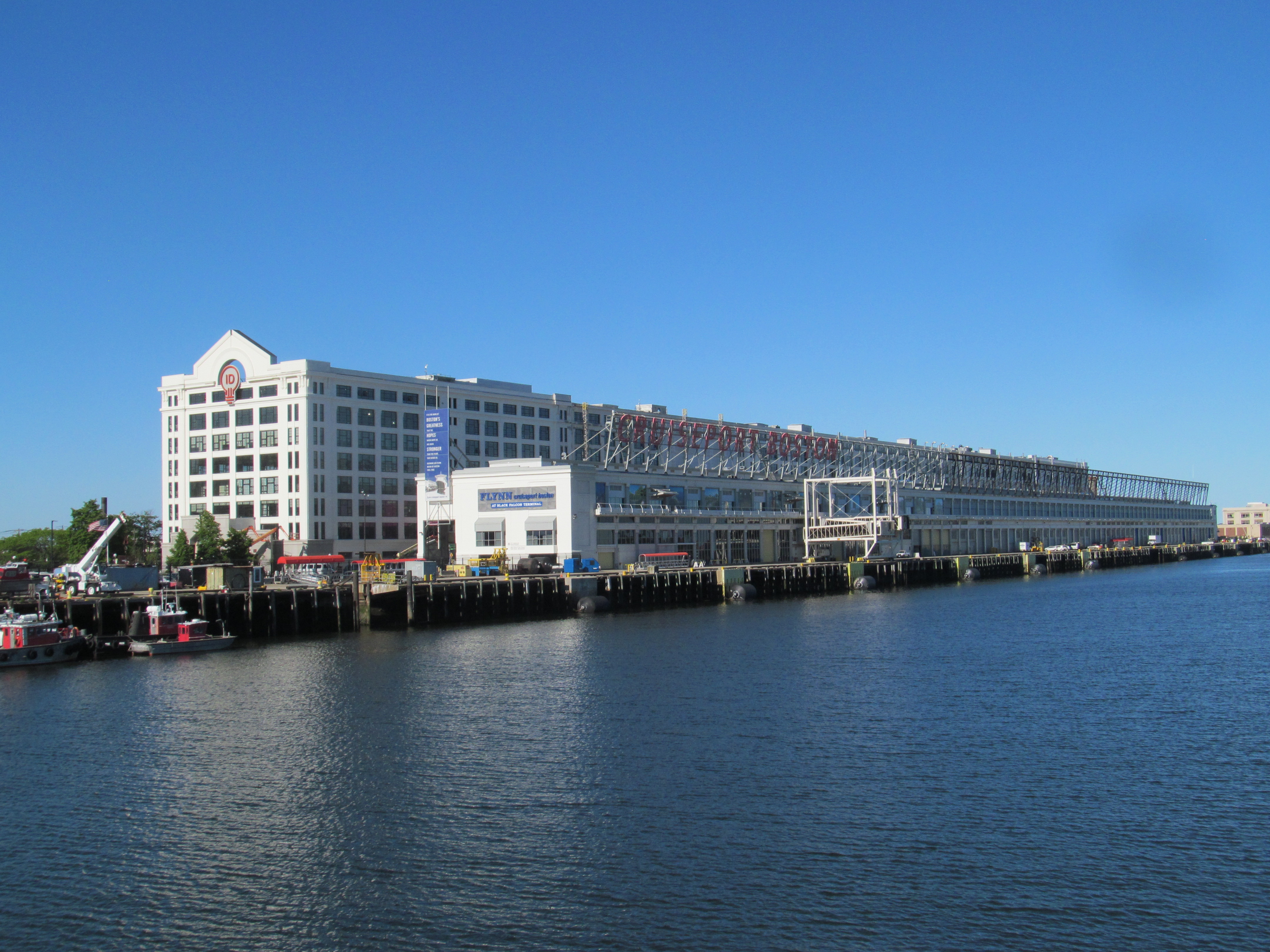
Departure day arrived and we were bussed to an old style pier. Unlike modern cruise ports, which look like airports, this brought back memories of the ’50’s when they simply cleared a space among the crates and dropped a gangway.
The embarkation took a while, it always does, but it did seem a bit disorganized. We managed to sort it all out and went to lunch to find it absolutely jammed and nowhere to sit. We had to sit outside, which was a little warm, but we survived. (First world problem!) And, when we reached our cabin, it looked lovely.
Canada
Our first stop was Halifax, which we had not visited on our previous trip to Nova Scotia.
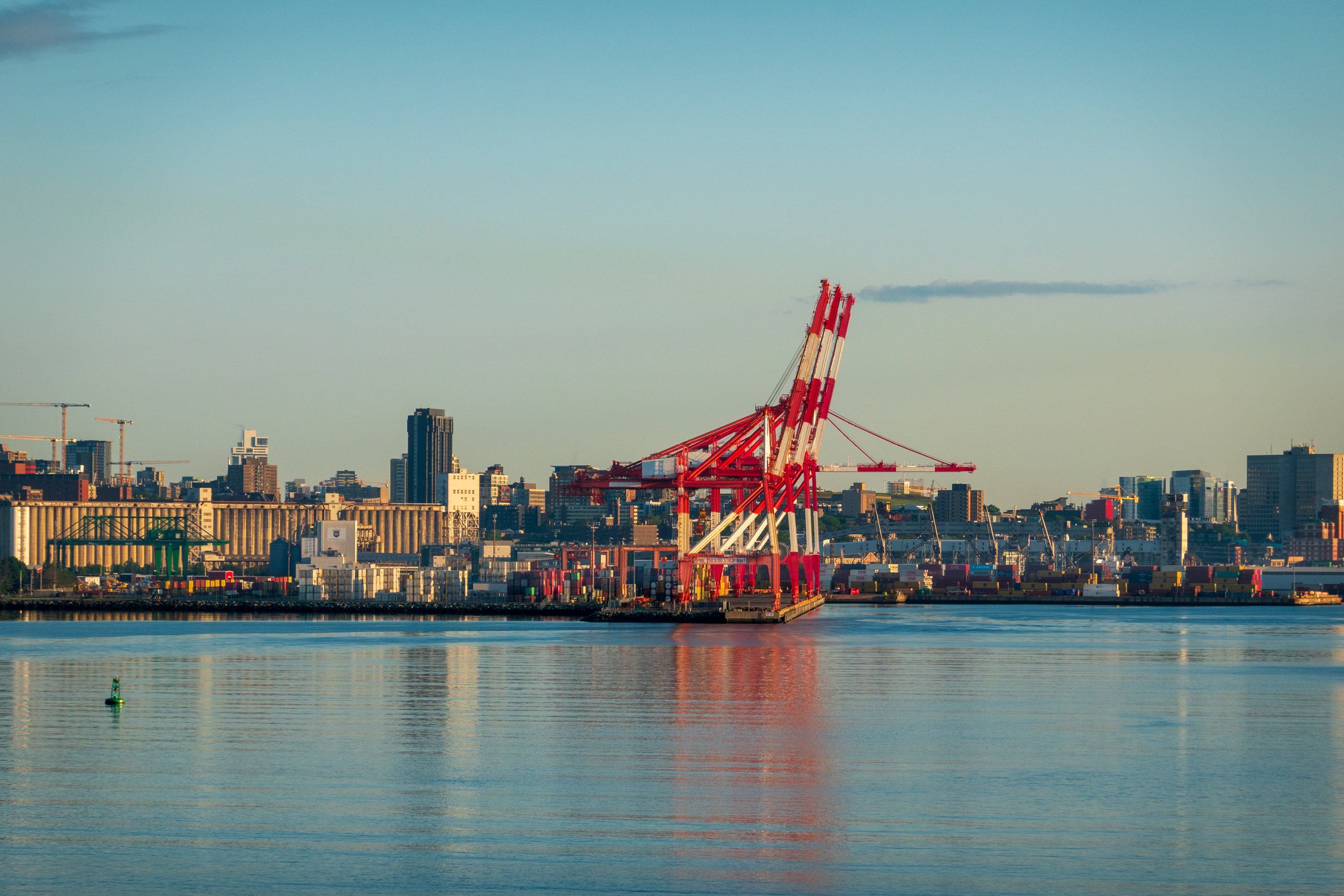
Sailing into Halifax at dawn.
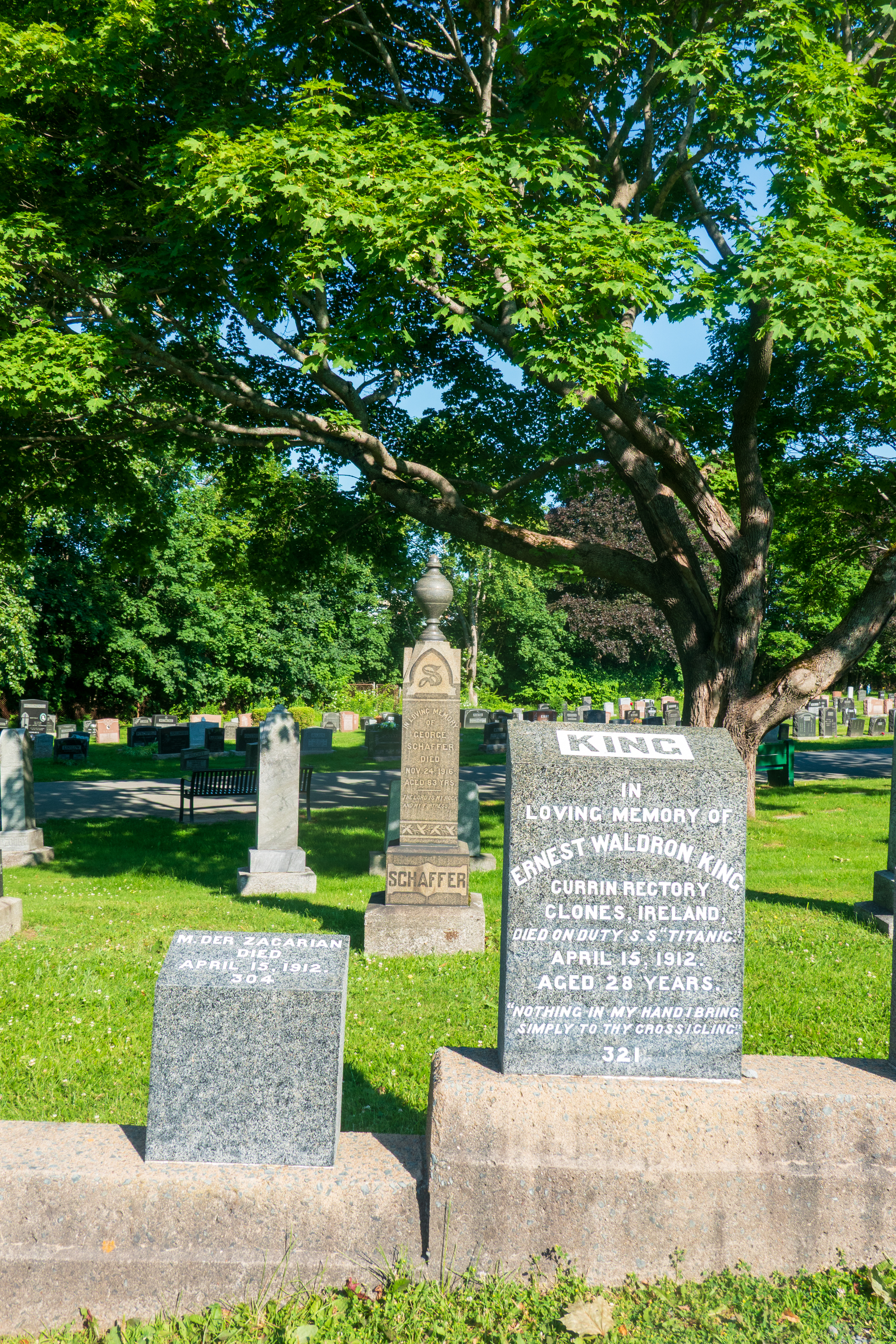
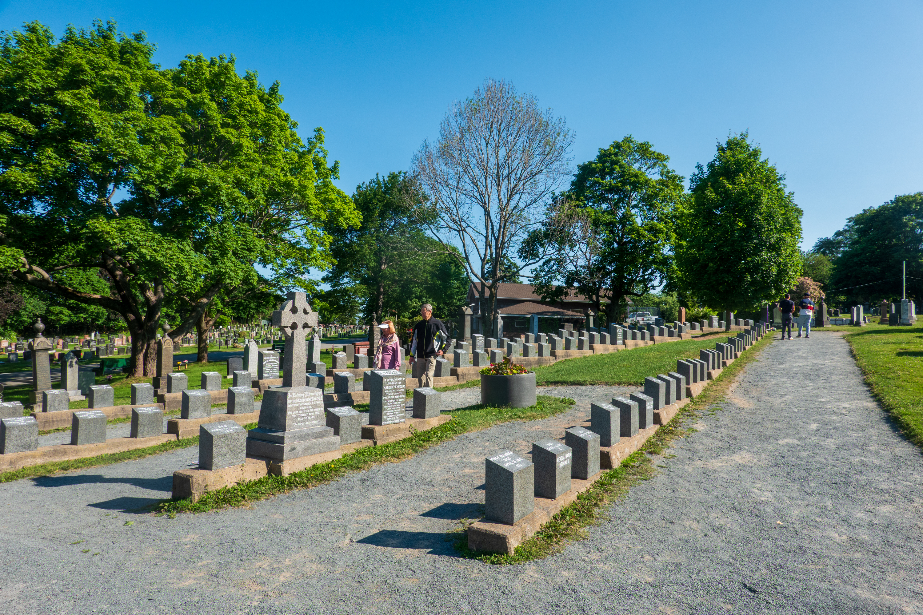
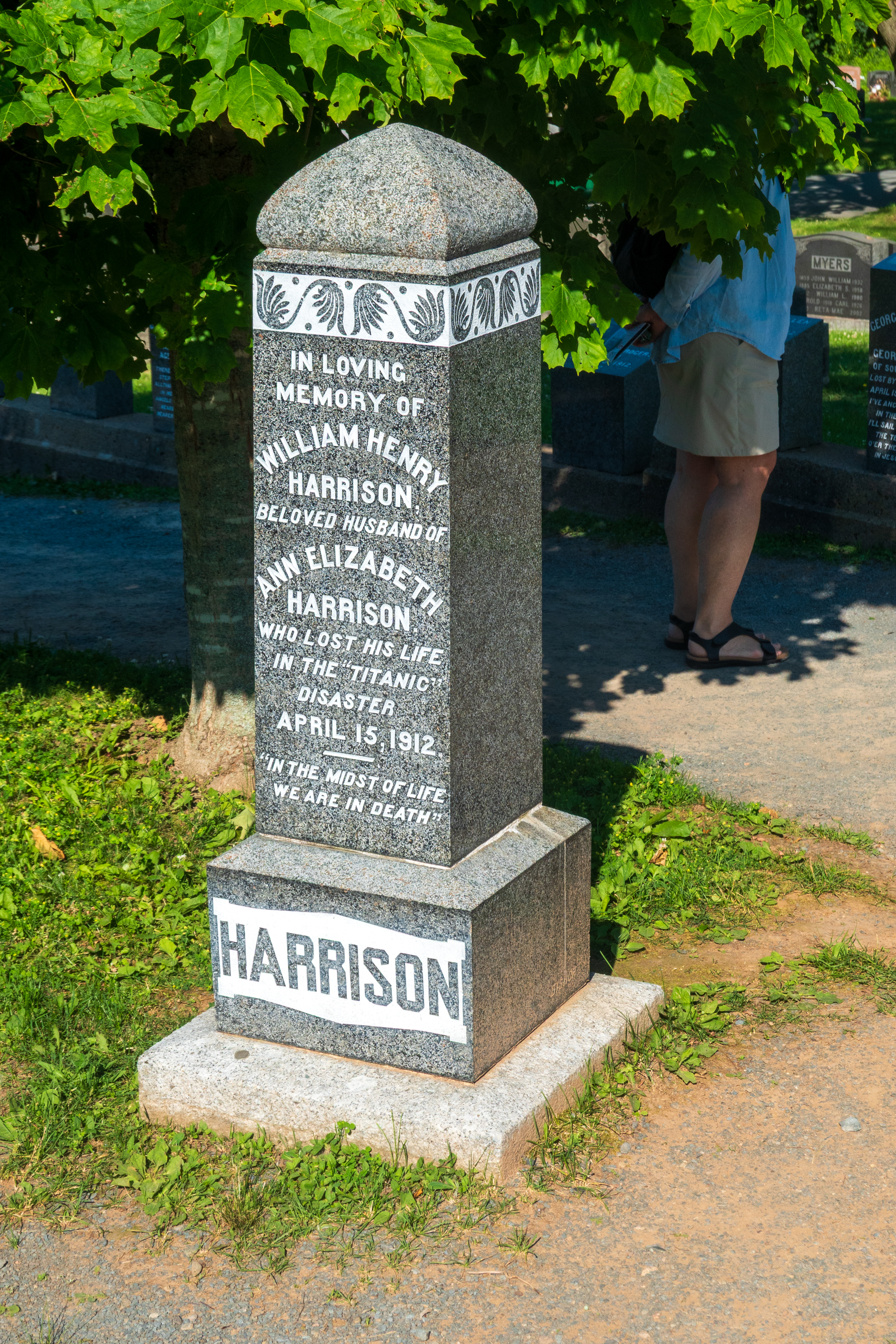
Double decker buses had been provided for our transit needs so we took an early one and started out at the Fairview Lawn Cemetery (https://en.wikipedia.org/wiki/Fairview_Lawn_Cemetery), one of three cemetaries where a number of named and unnamed victims of the Titanic disaster are buried. Halifax is linked to the Titanic disaster as it was the closest major seaport and was the base for many of the recovery efforts.
Most of the graves are in these rows of numbered tombstones.
After wandering the cemetery, we took another bus to the main part of town, before heading down towards the waterfront Boardwalk.
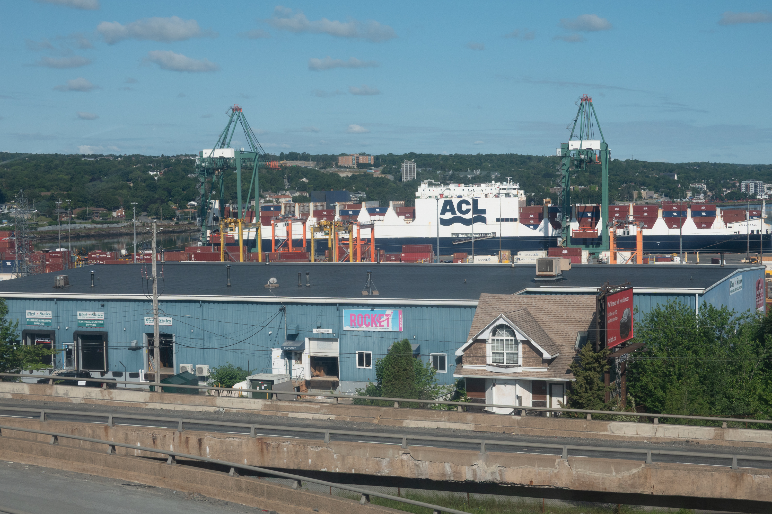
Surprise grab shot – the sister ship to the Con-Ro (Container/RoRo) that carried our truck back from UK. Very few of these hybrids exist. Containers on deck and roll on/roll off below deck.
looking up to Citadel Hill (Fort George)
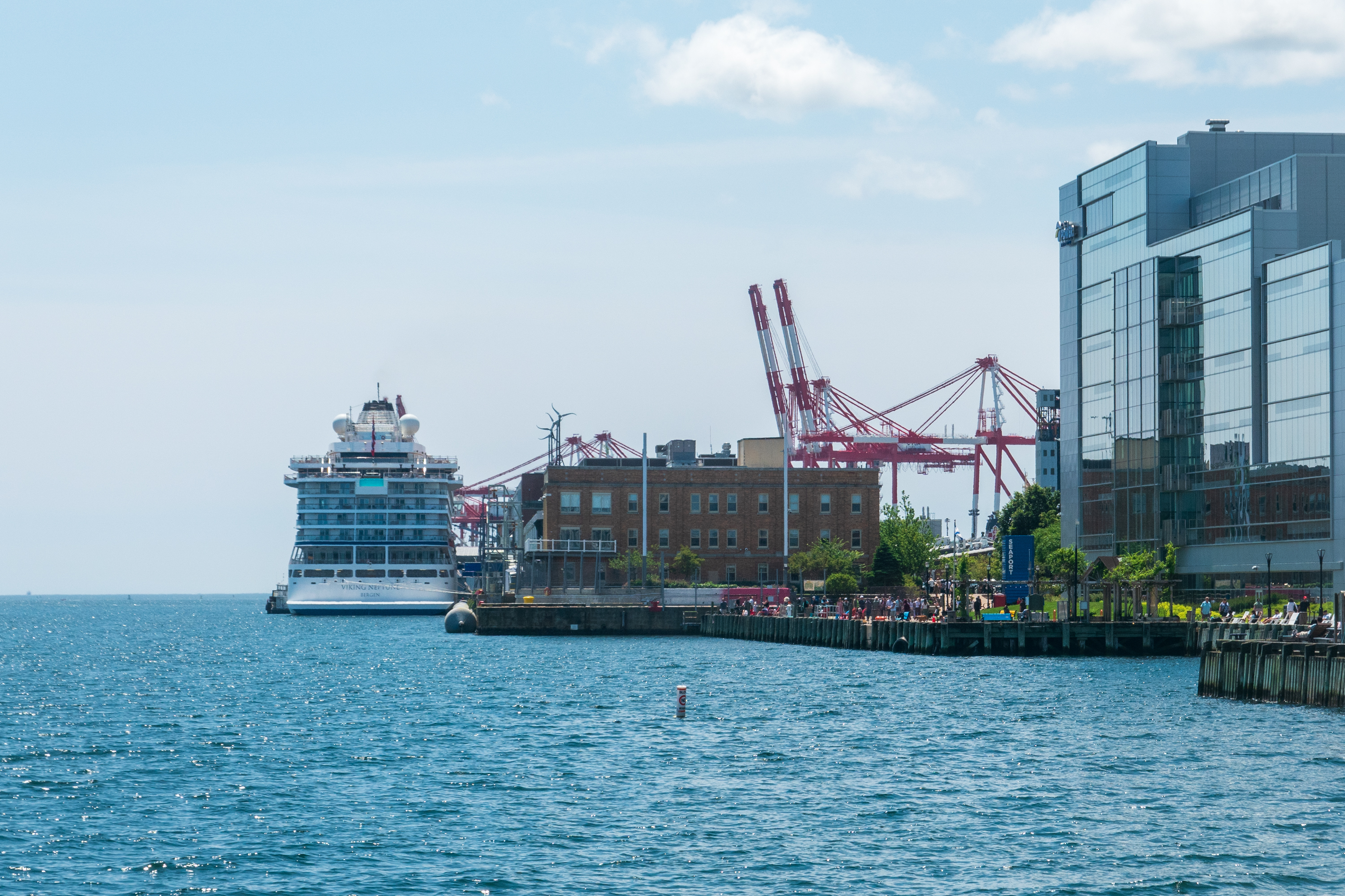
The Viking Neptune, tied up on the Boardwalk.
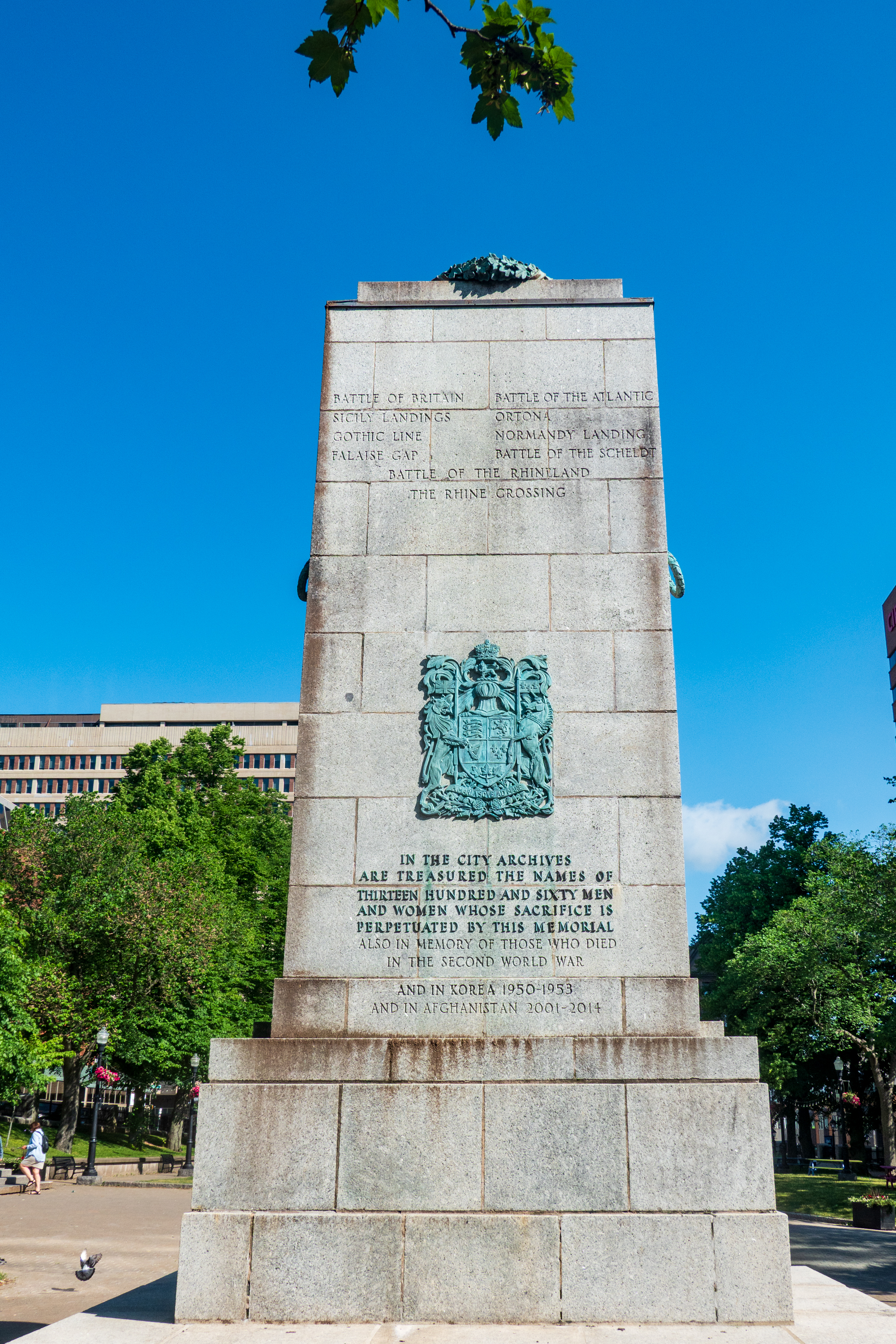
War memorial with too many names in too many additions for too many wars.
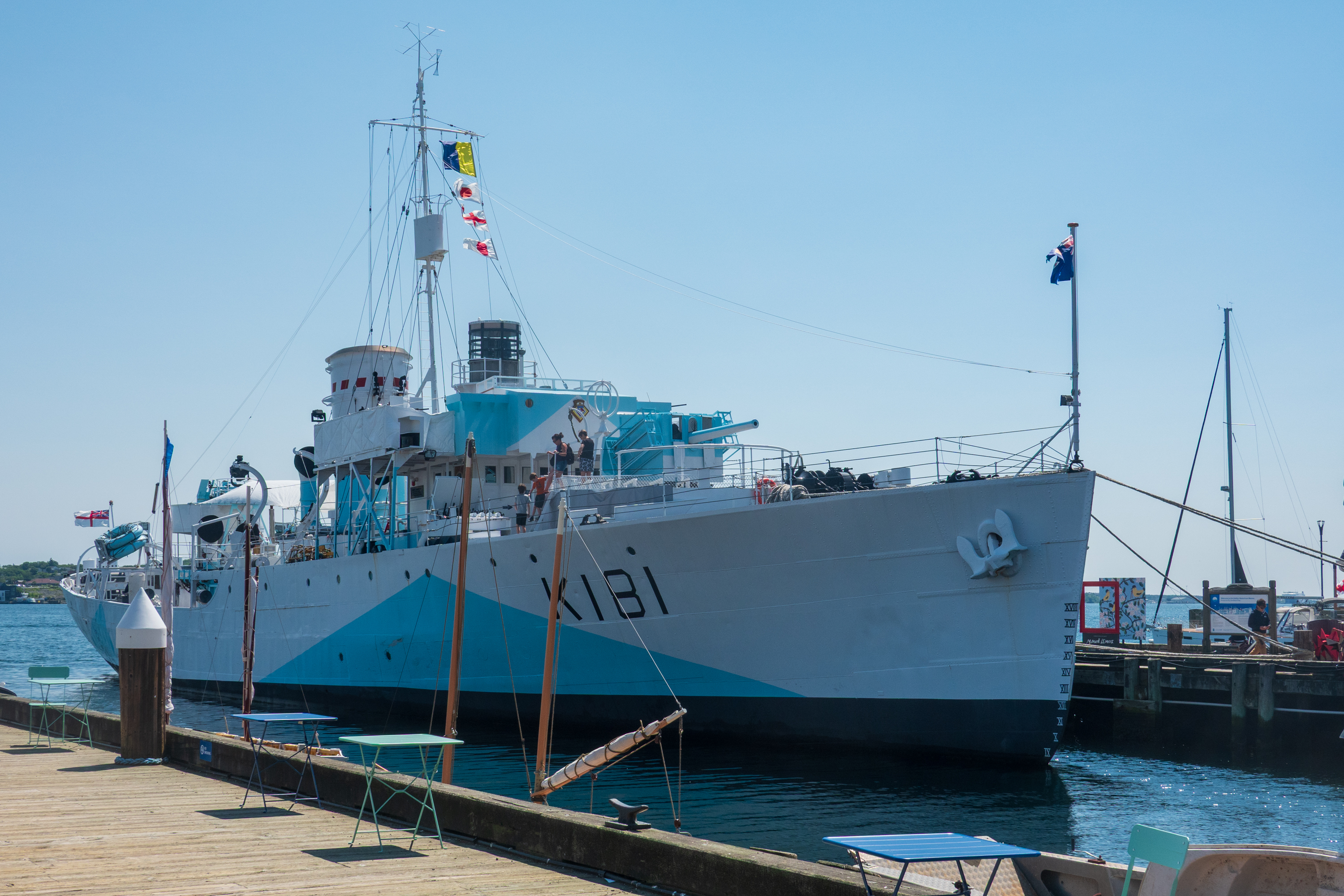
Our goal was the Maritime Museum of the Atlantic, a fascinating museum. (https://maritimemuseum.novascotia.ca) The museum had the obligatory exhibits on the Titanic, of course, but it also covered the less known, in the United States, at least, ammunition ship explosion of December 1917, one of the largest non-nuclear explosions in history. (https://en.wikipedia.org/wiki/Halifax_Explosion)
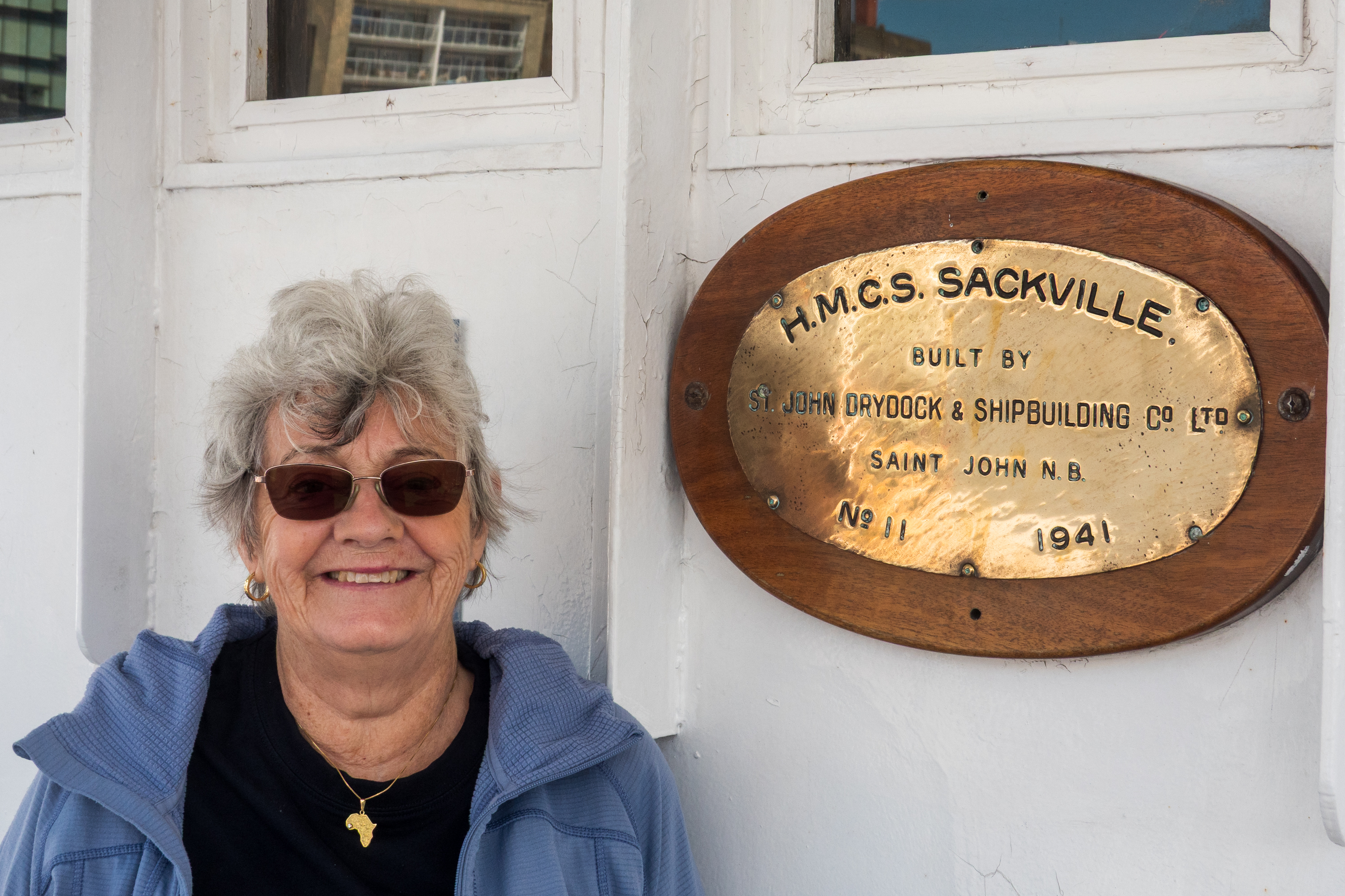
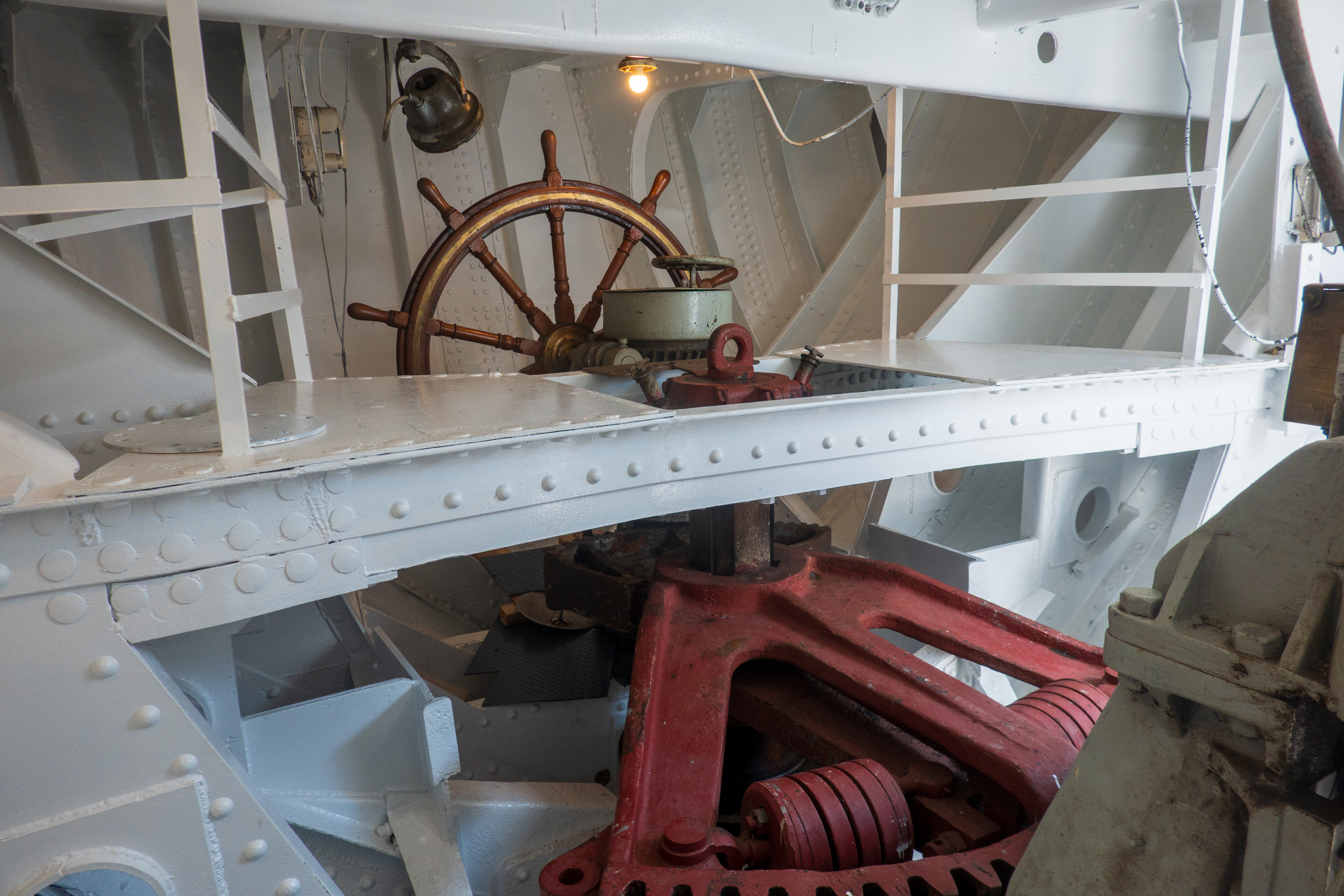
Fred was thrilled – not only is the Sackville a Flower class corvette, but she was the digital model for the Canadian corvette in the movie “Greyhound.”
Fred’s favorite, after steering. Should the linkage to the bridge be damaged, the ship can be steered from down here.
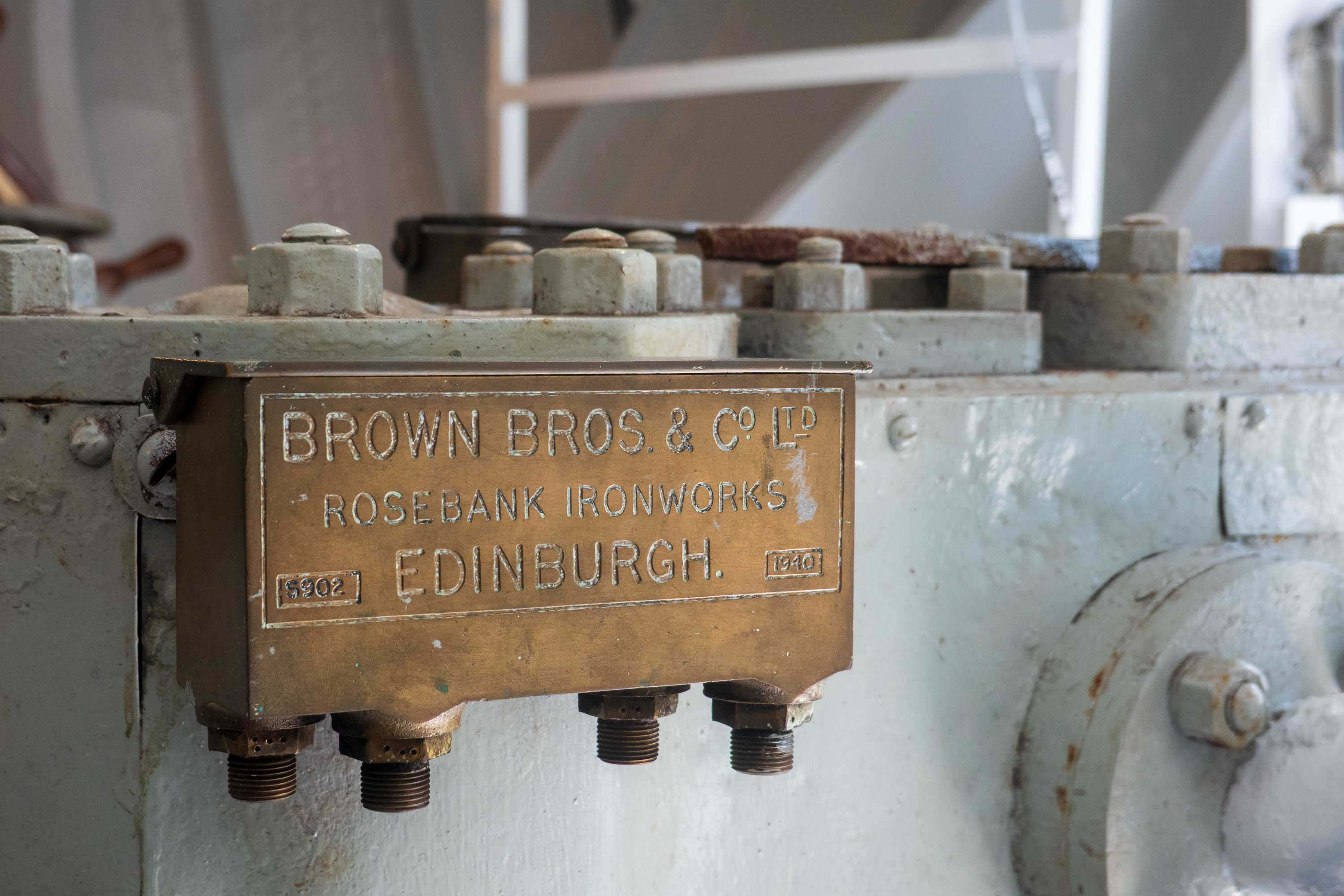
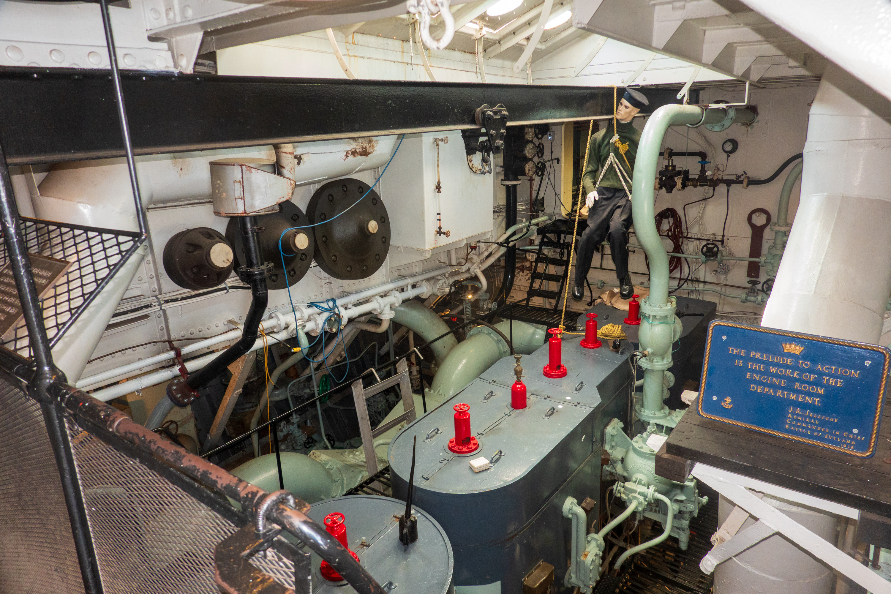
The Flower class had old, triple expansion engines. Cheap and actually rather reliable. The goal was quantity, not quality.
She is of a similar vintage to the oiler on which Fred cruised as a midshipman and her anti-submarine gear was similar to the equipment at Fred’s NROTC unit. (Fans of the history of anti-submarine warfare are welcome to reach out for endless discussions of a subject the most people ignore!)
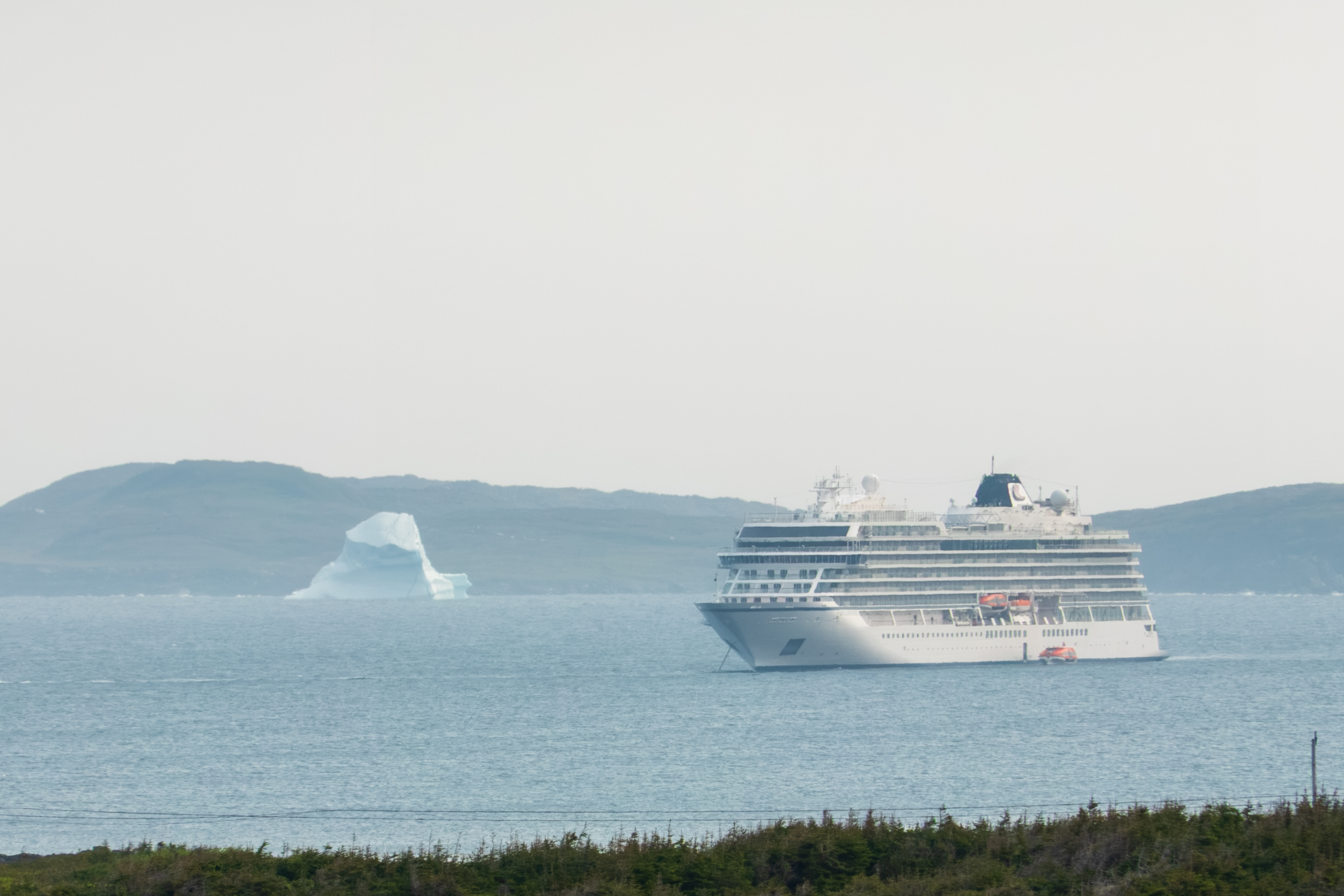
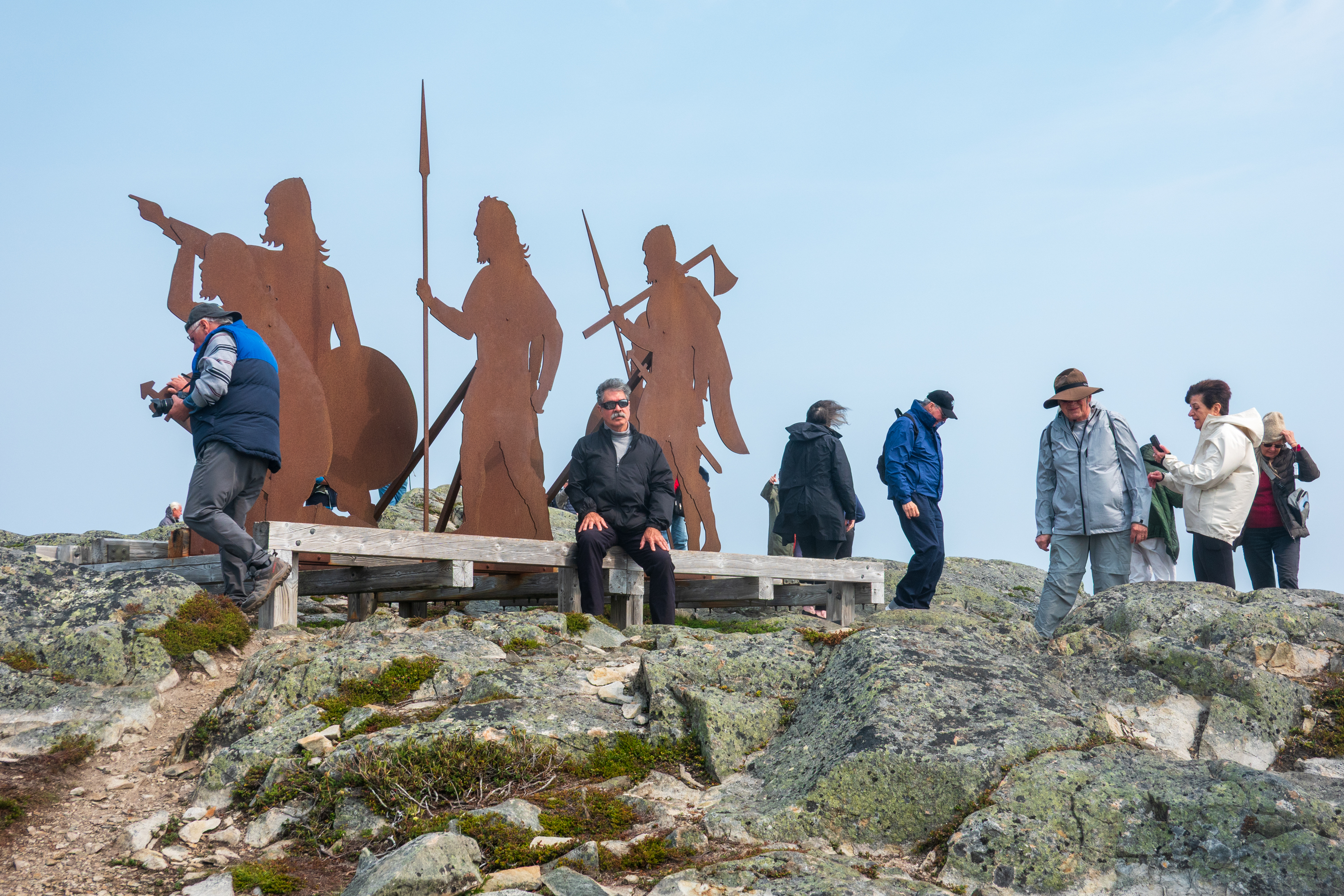
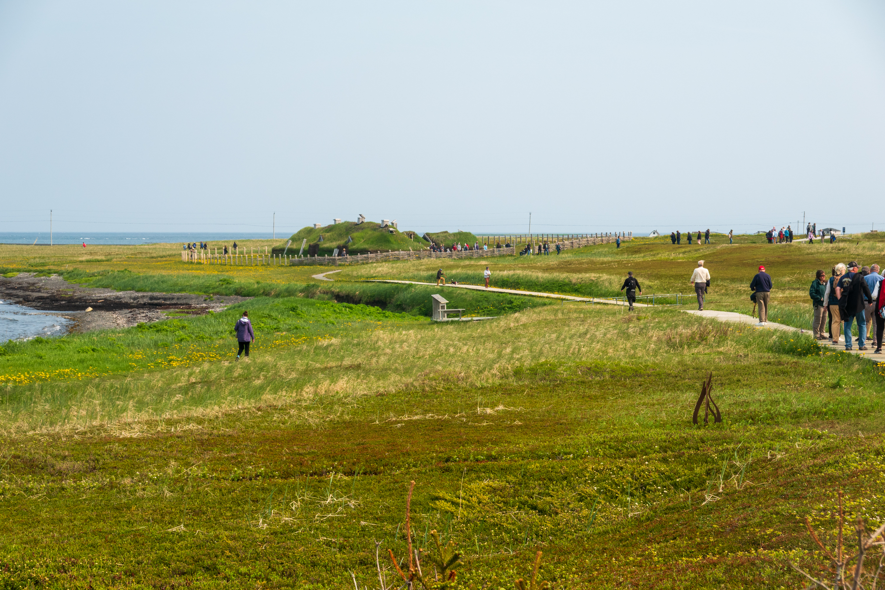
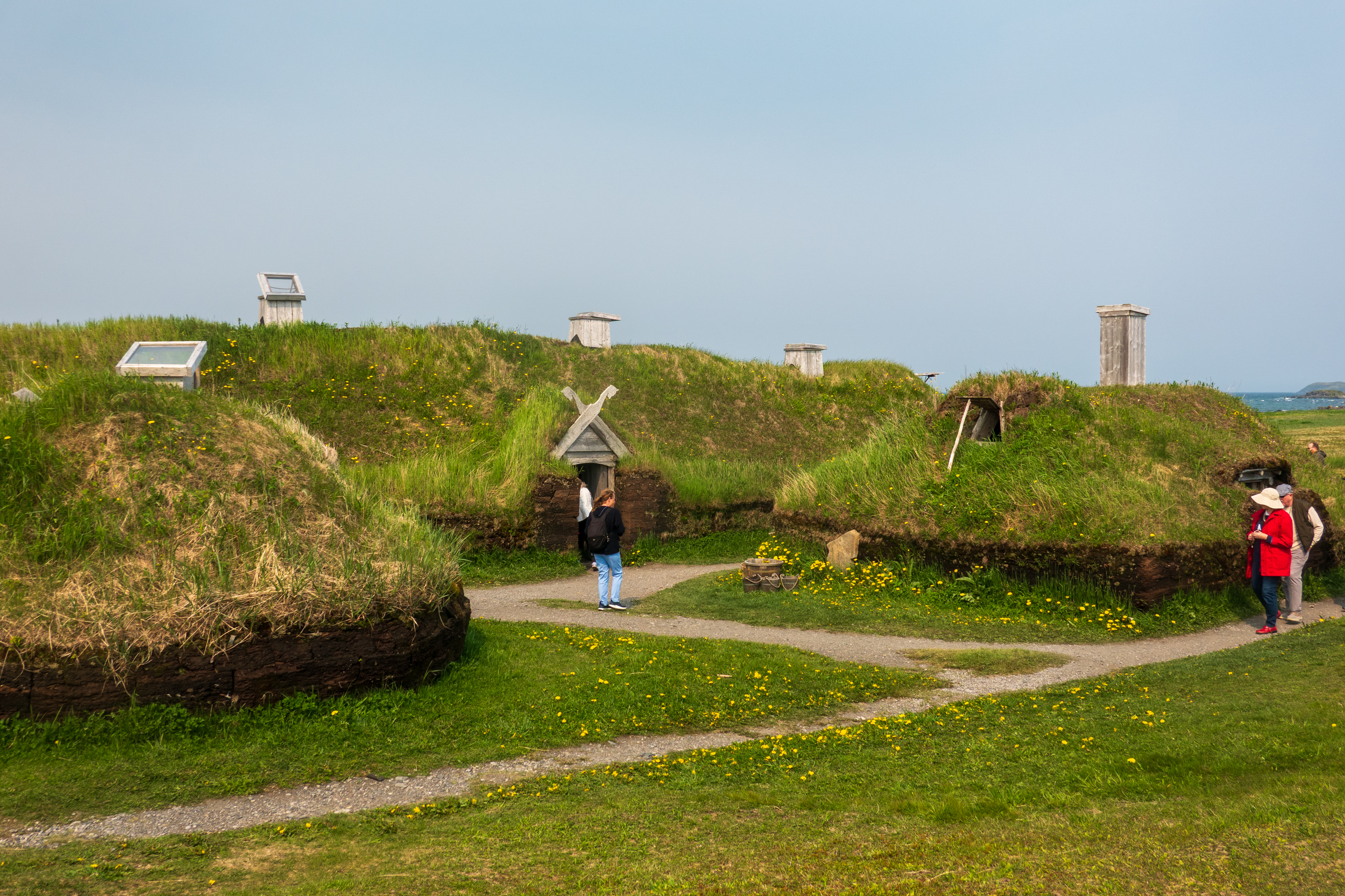
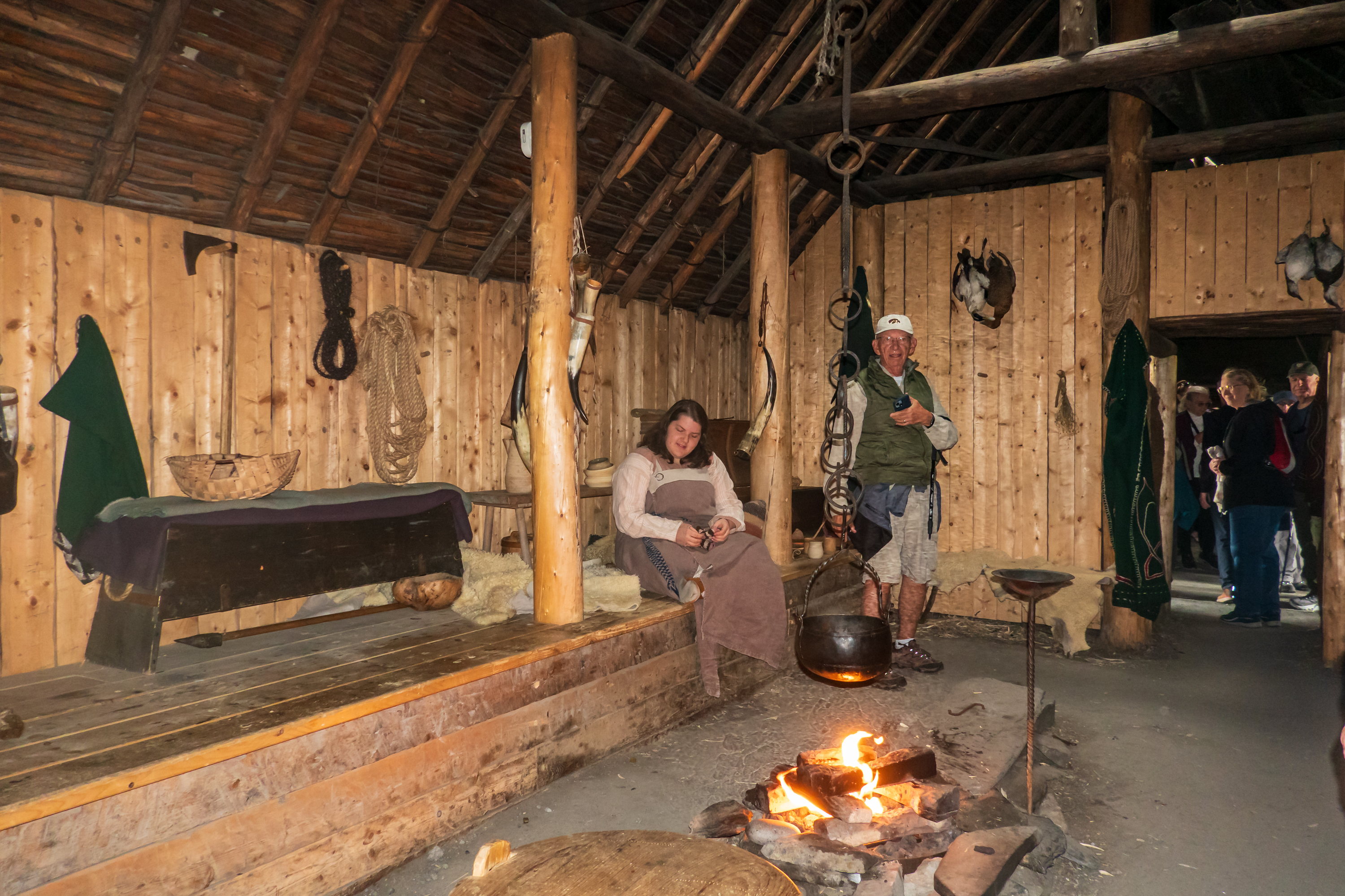
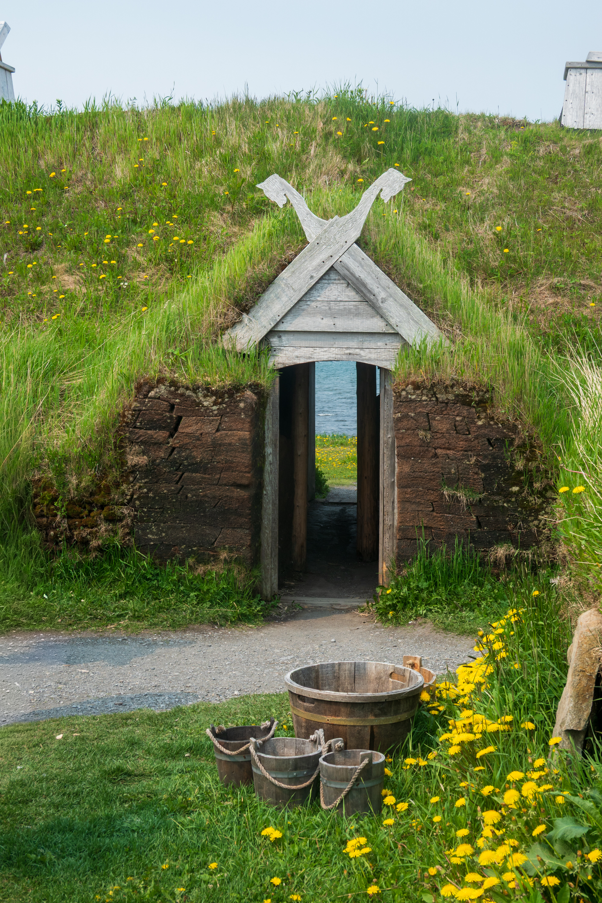
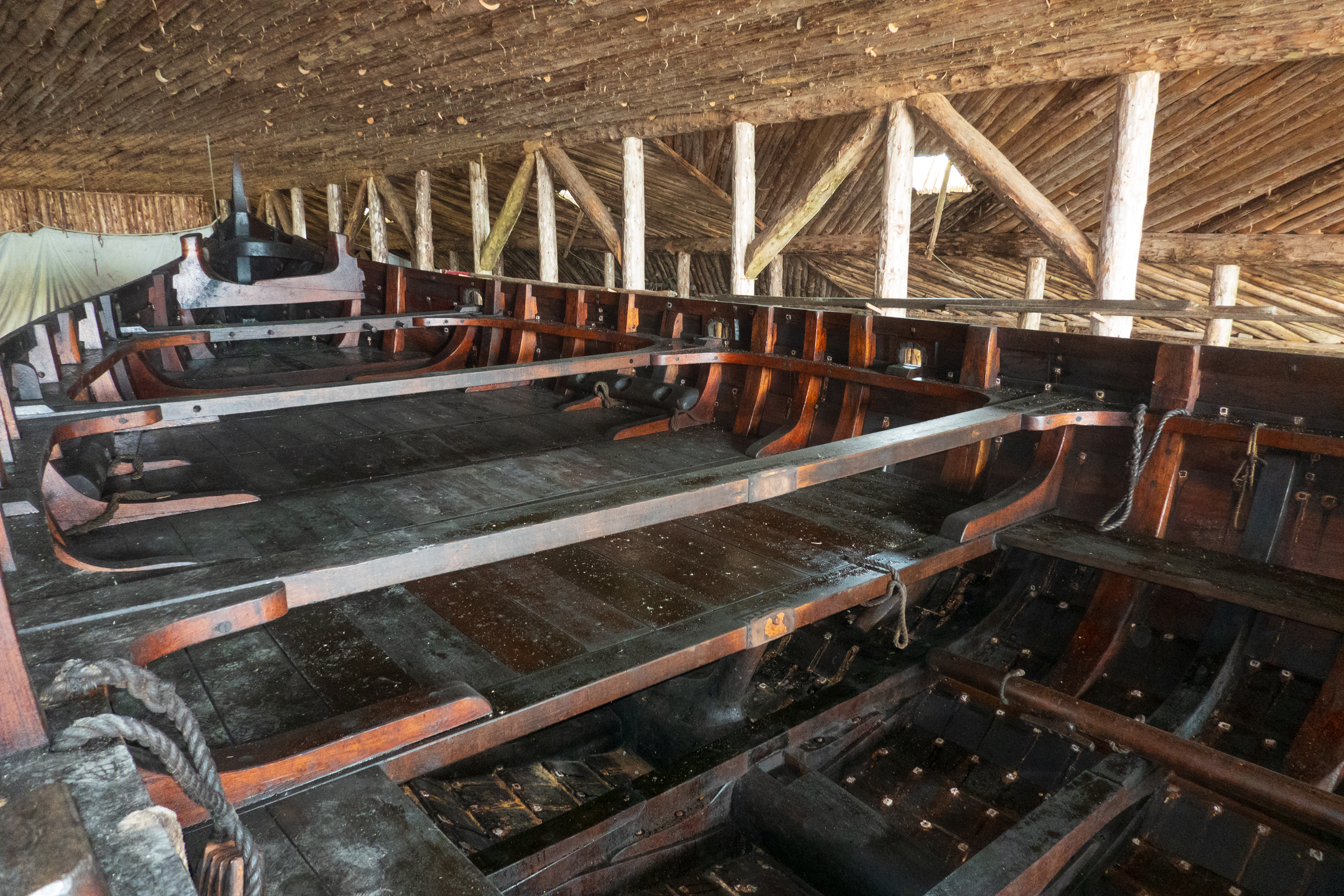
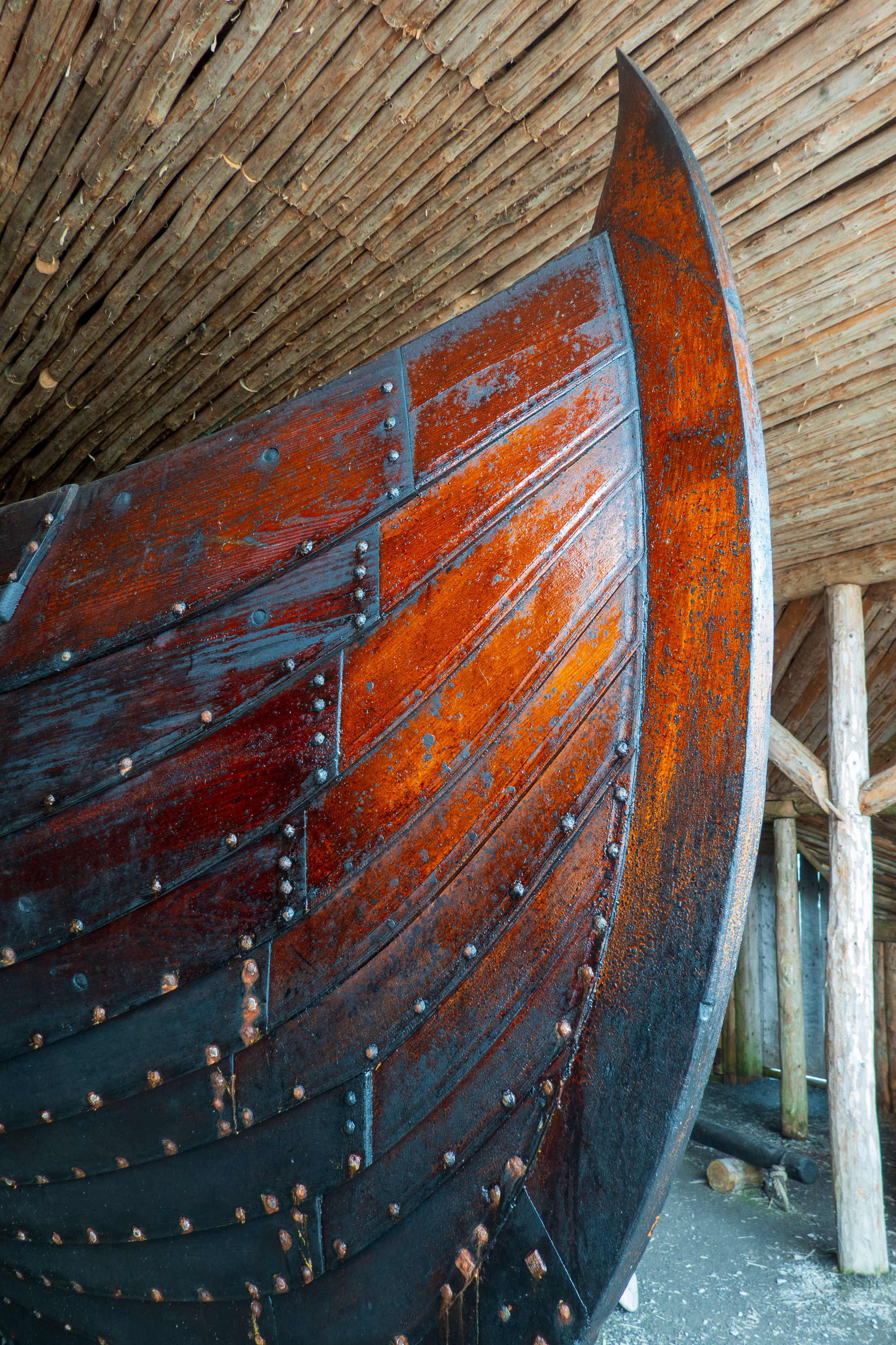
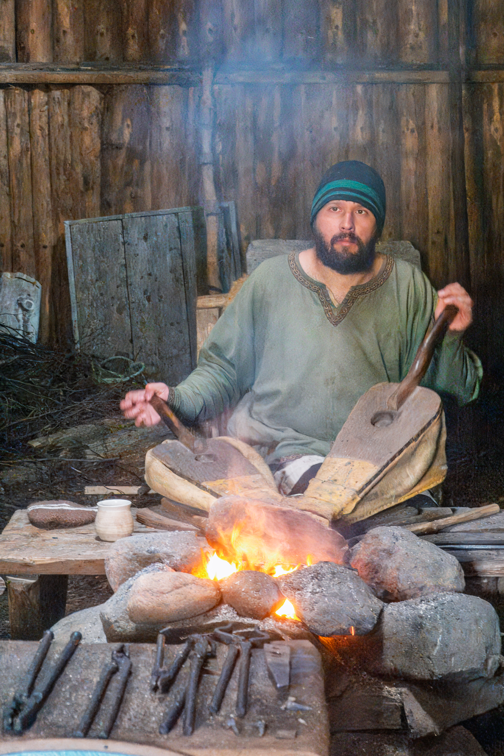
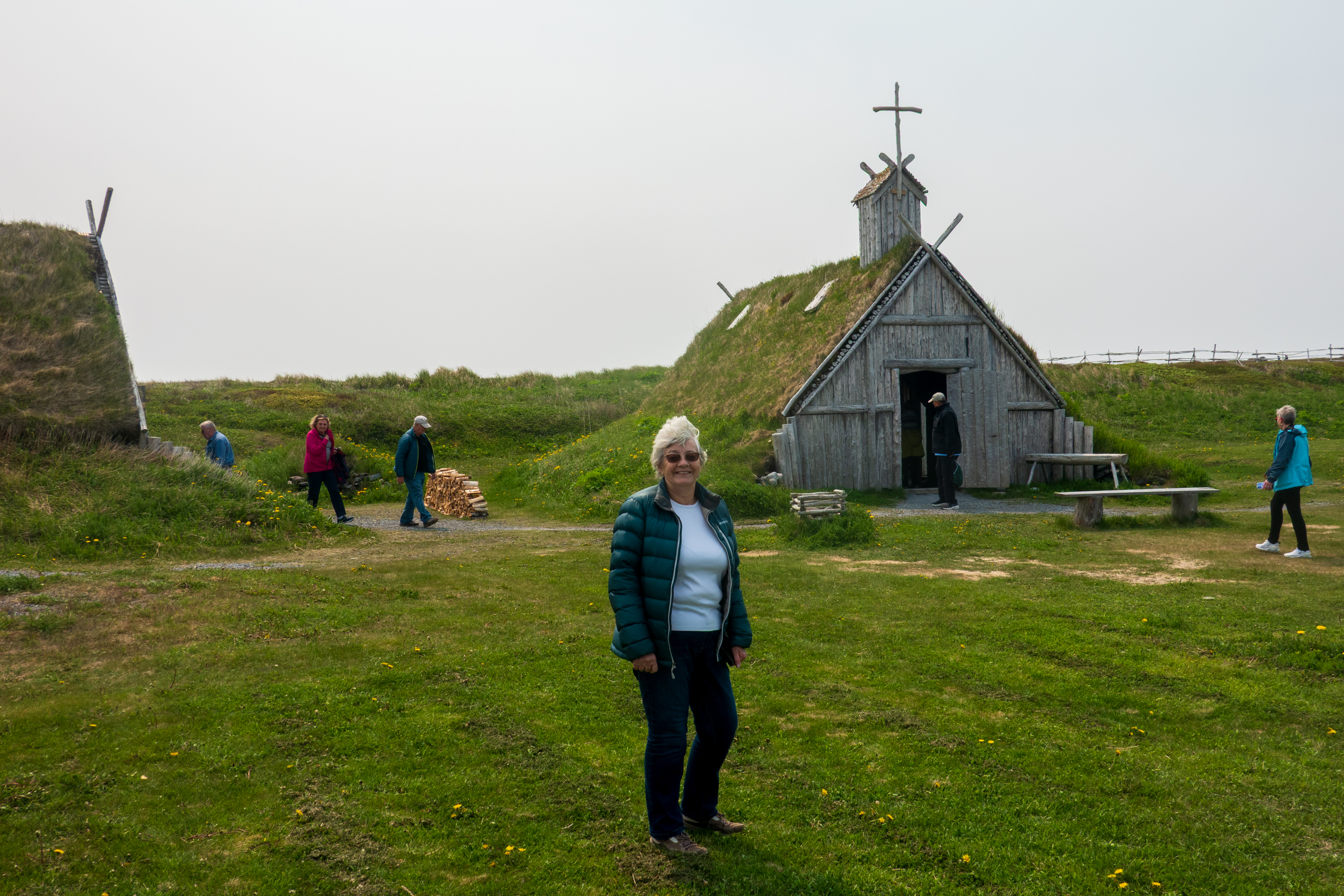
We continued by sailing up the coast of Canada to L’Anse aux Meadows, site of the first Norse settlement in the Americas, by Leif Eriksson about 1001. (https://en.wikipedia.org/wiki/L%27Anse_aux_Meadows) Recent archeological digs have proven that the Vikings did indeed make the crossing from Greenland to the Americas, probably in search of wood. There was little forest left in Iceland and none at all in Greenland. Dwellings have been reconstructed and the Viking way of life explained.
Click on images for slide show.
Consider an interesting idea. If, as believed, all human life began in Ethiopia, and then spread east to Europe and west to China and, across the Bering land bridge, to America, then this may have been the first time that the eastern and western branches of humans re-encountered each other. Today the year around population is under 40.
Greenland
And on to Greenland after a wonderful day on a glass calm sea. Unlike some, we thoroughly enjoy sea days!
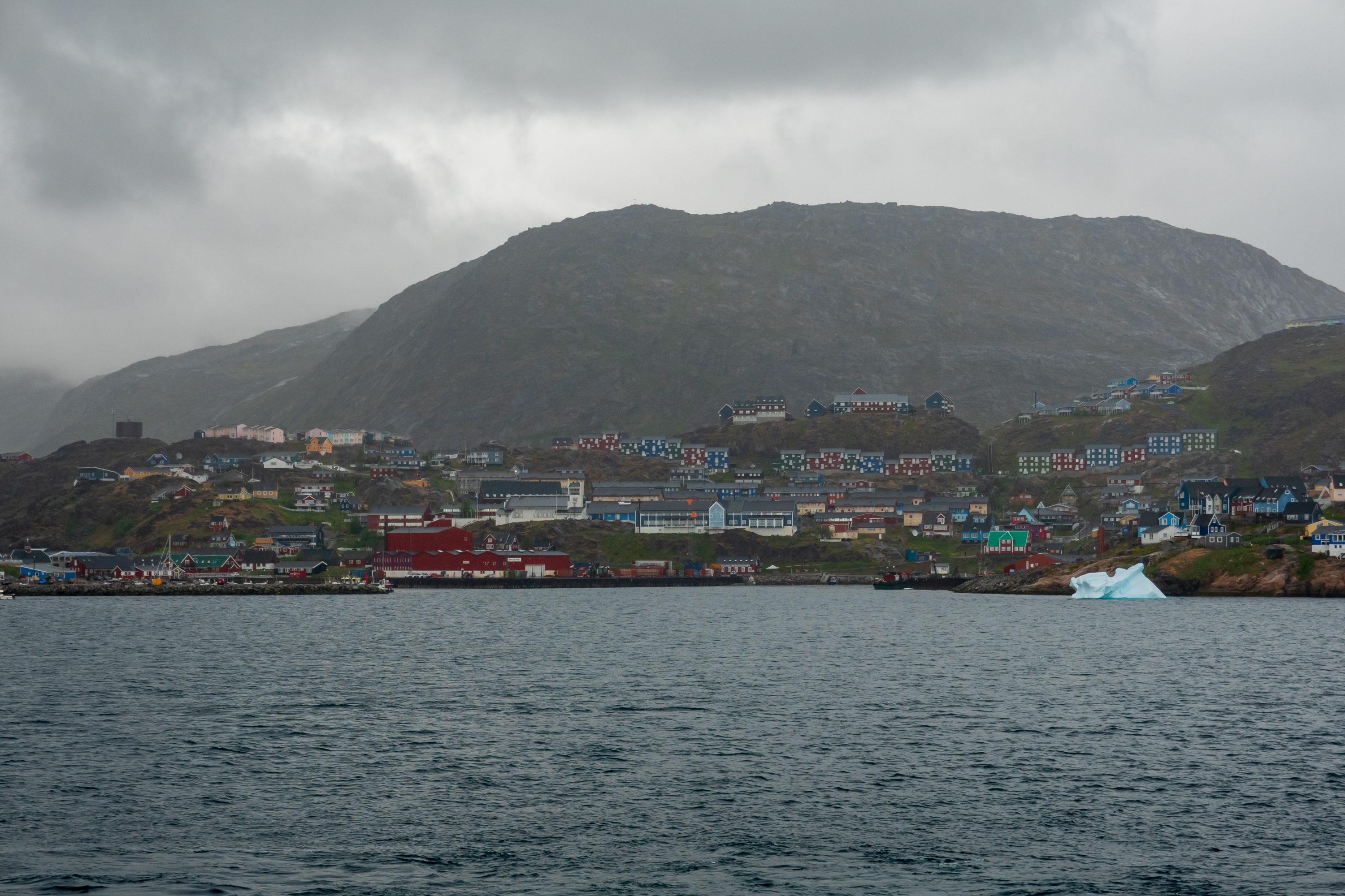
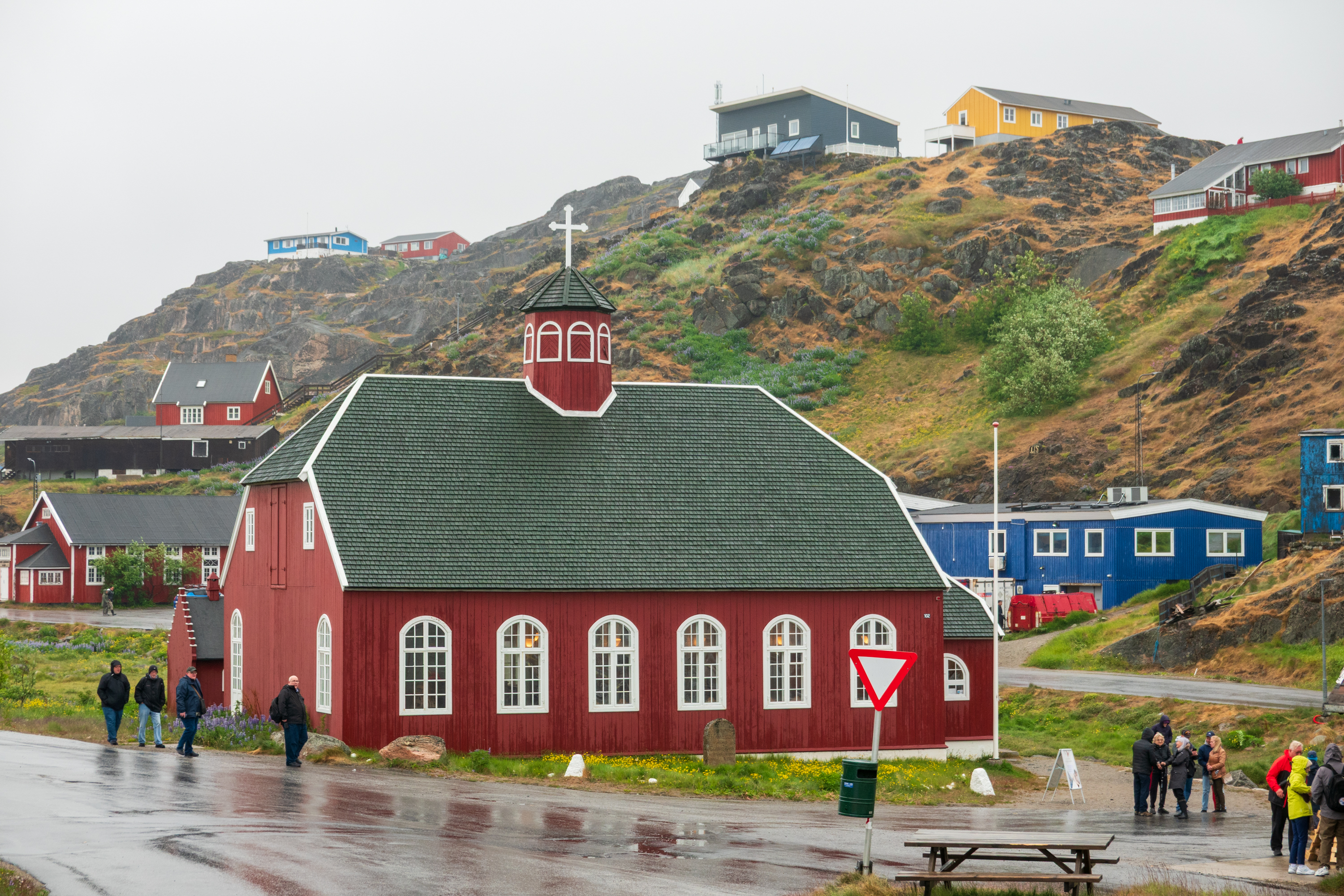
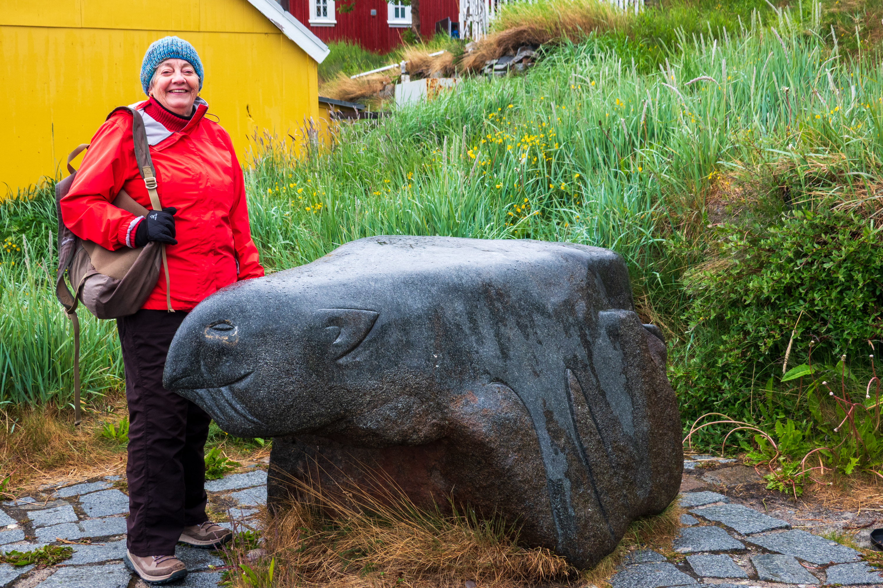
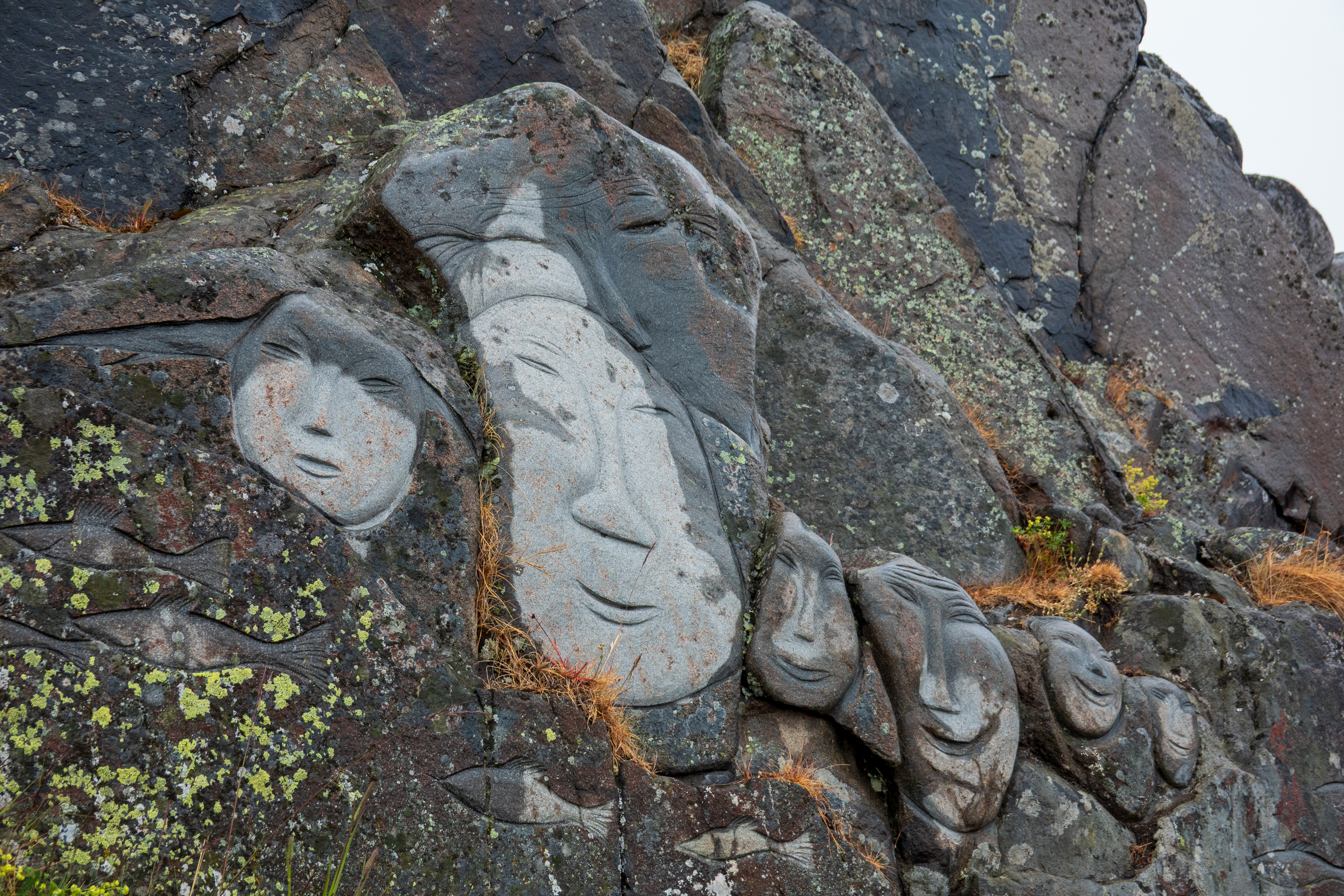
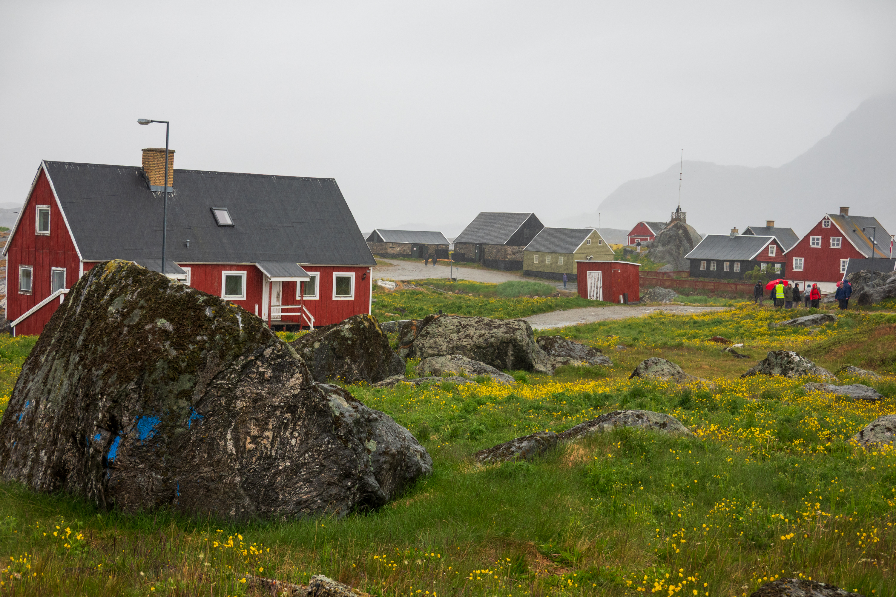
The two towns we visited in Greenland, Qaqortoq and Nanortalik, were both small. Really small. Each had a small museum which provides insights into Viking, Inuit, and Danish history. The houses are all painted bright colors, perhaps as a response to the dark winter and often cloudy summer.
Qaqortoq from the sea.
Most of the current population is Inuit who live from fishing. (https://en.wikipedia.org/wiki/Inuit) The weather was wet and foggy. Despite the weather, there is increasing income from tourism as ships make it easy and comfortable to visit. At least in the summer.
During the Second World War, Greenland was hugely important for air bases for both antisubmarine patrols and emergency landings of aircraft being ferried to England, and harbors for convoys, their escorts, and ice breakers. After the war, the United States maintained several bases in Greenland, now down to one. Greenland is part of the GIUK gap, (Greenland/Iceland/UK) a natural choke point for Russian submarines attempting to enter the Atlantic.
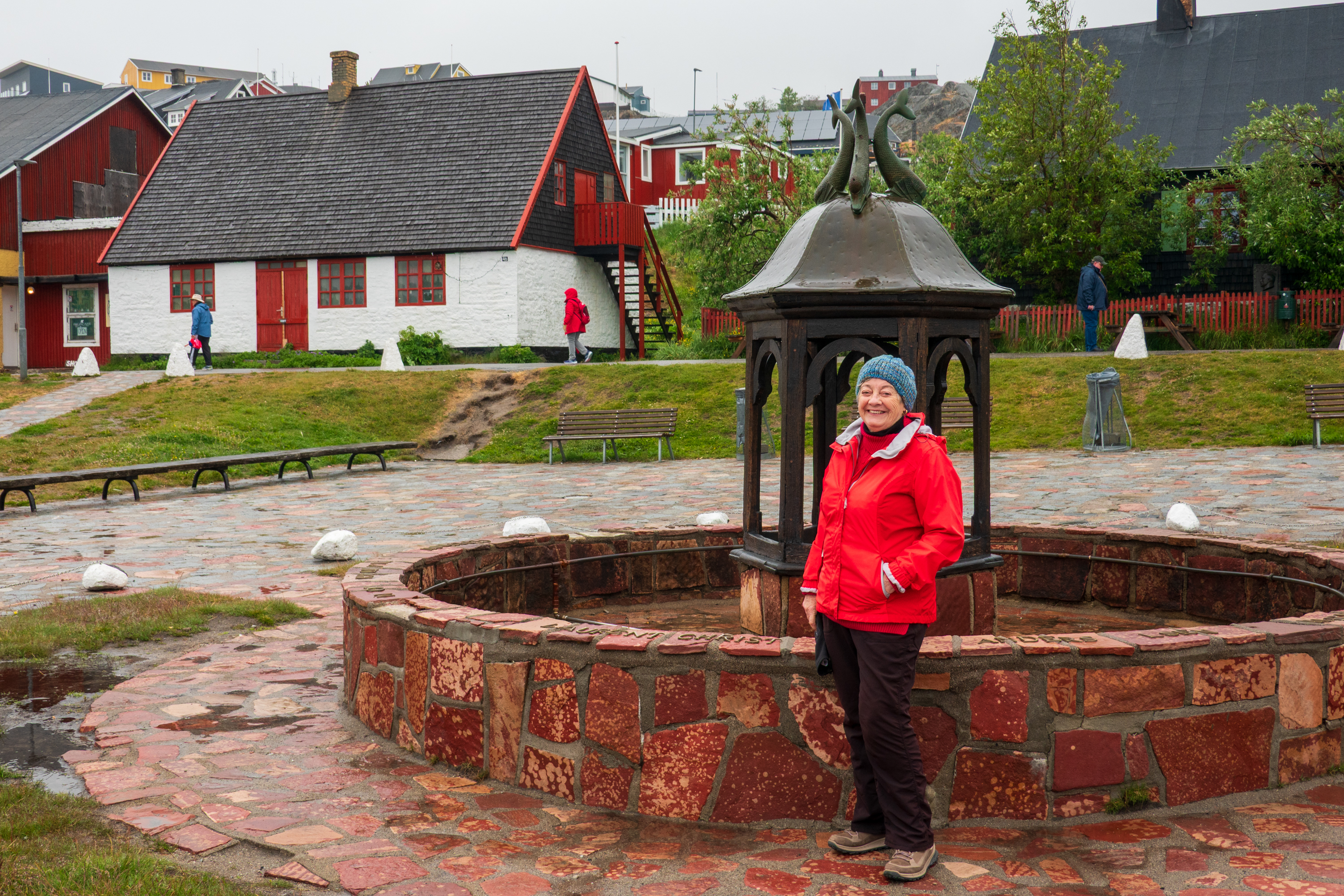
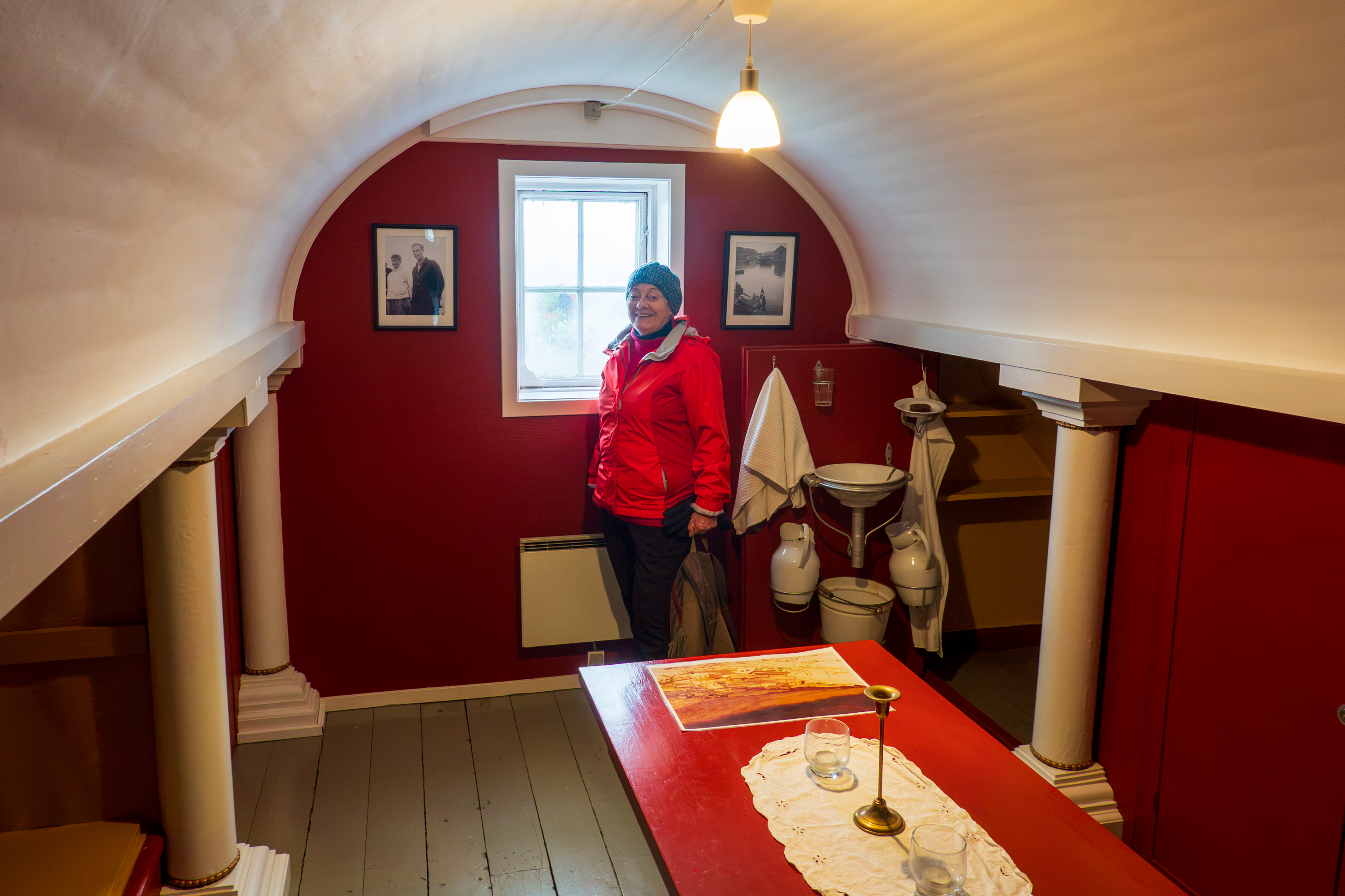
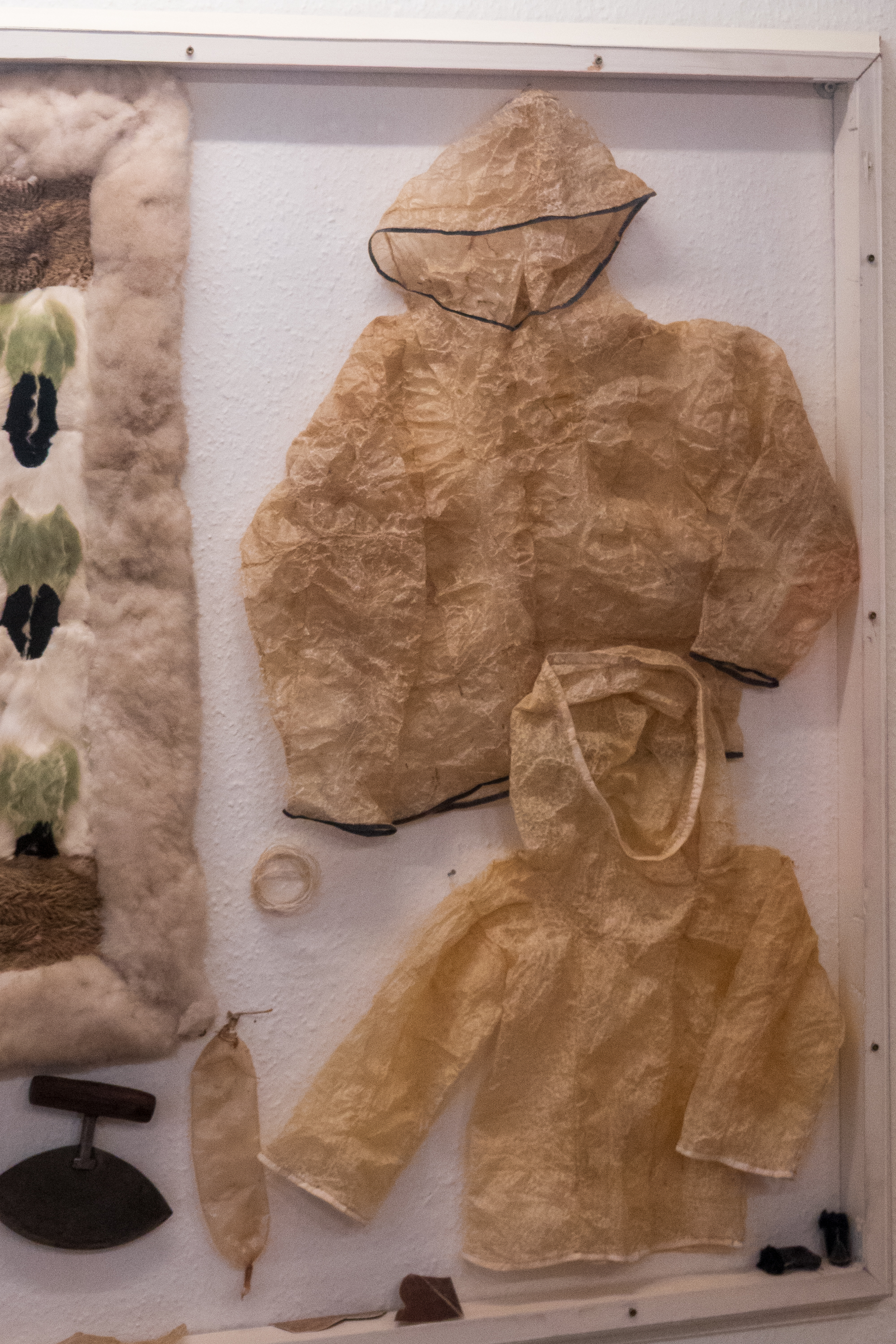
The Qaqortoq Museum, formerly a Royal Greenland Trading Post, dates to 1804 and is the oldest building in all of South Greenland. In the summer of 1933, scouting transatlantic air routes, Charles and Ann Lindbergh spent three weeks in Greenland and one of their stops was the southern town of Julianehaab, now known as Qaqortoq. we visited a reconstruction of a room where the couple stayed.
The Lindberg Room
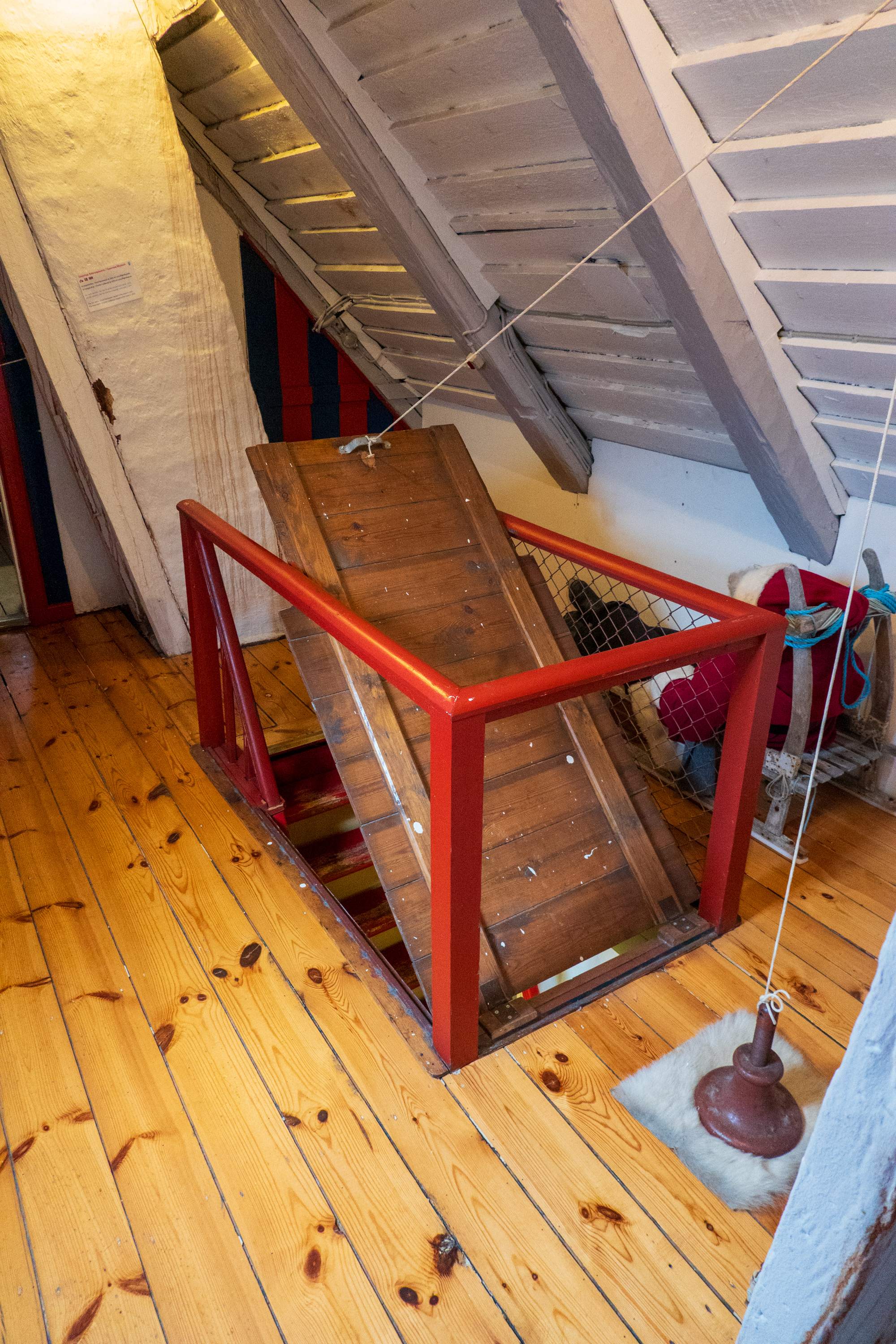
Access up a narrow ladder to this hatch.
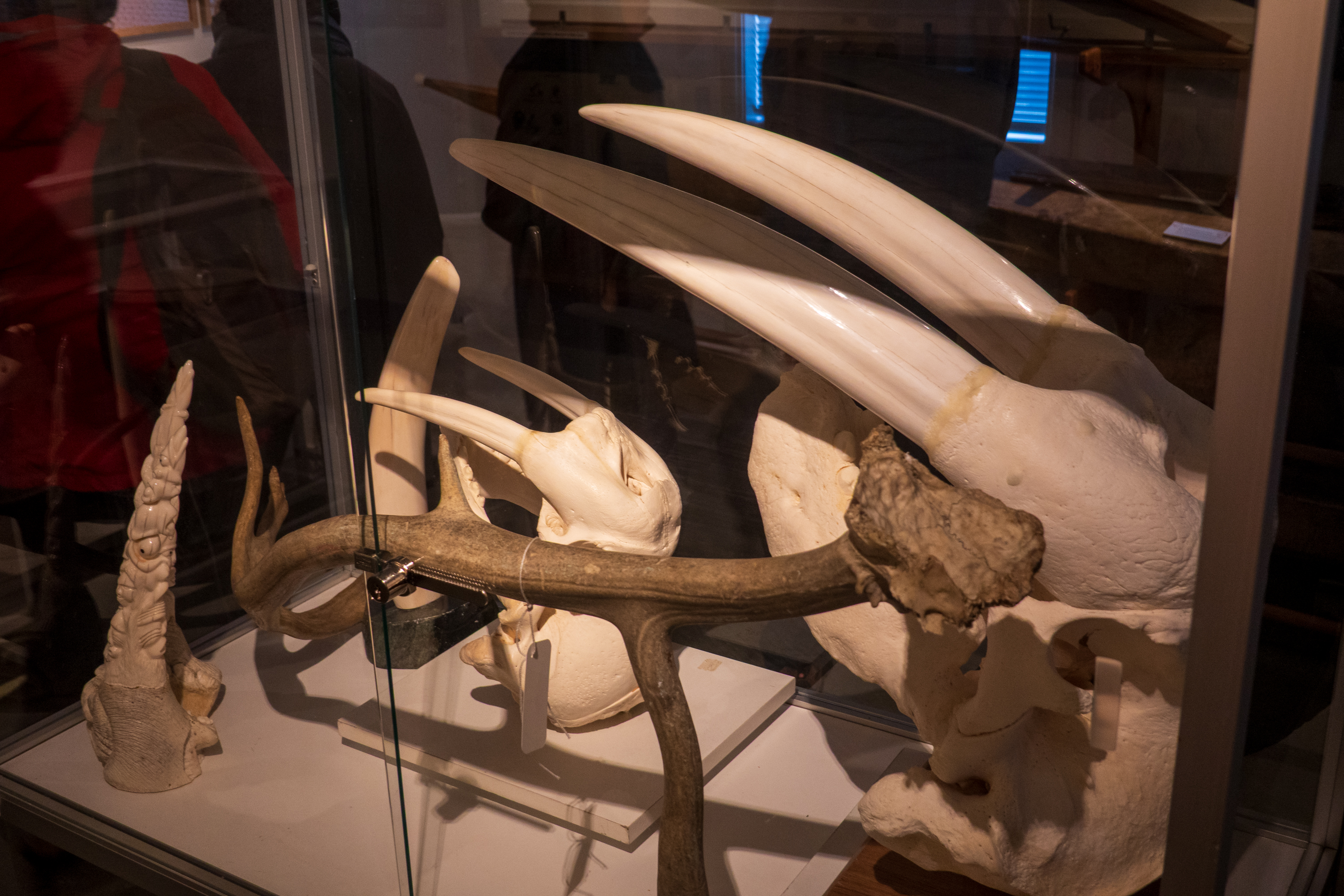
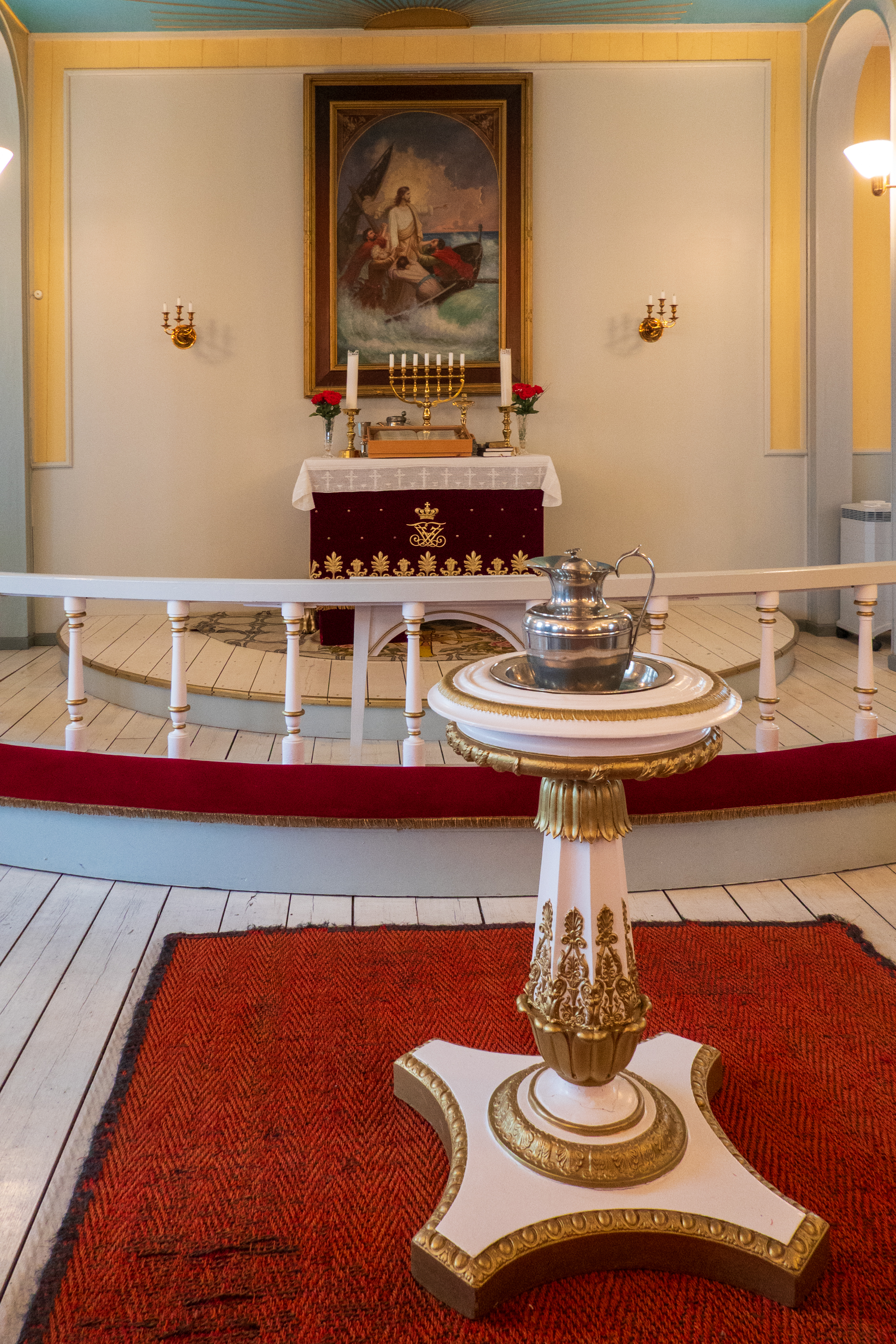
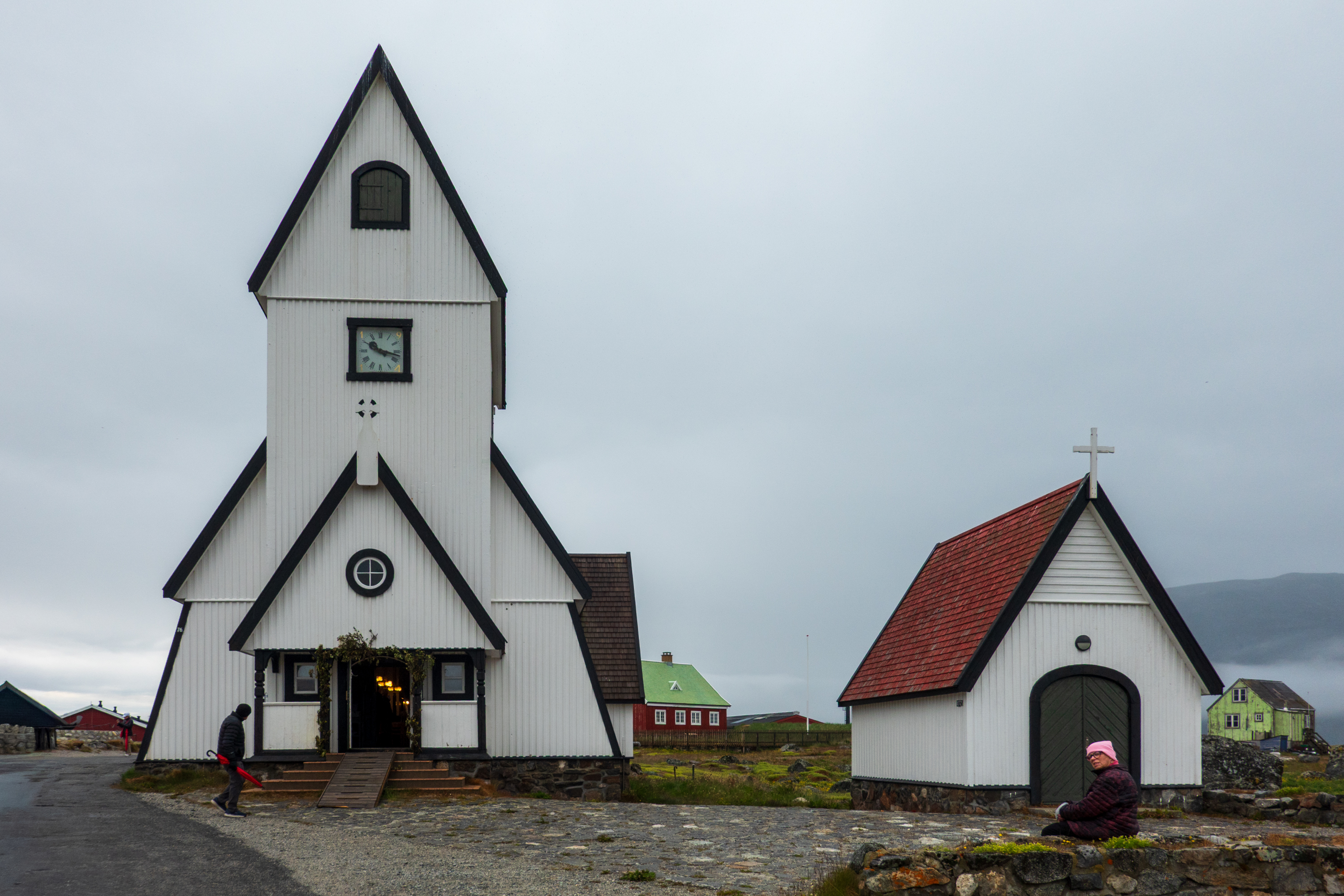
Walrus tusksBaptistry
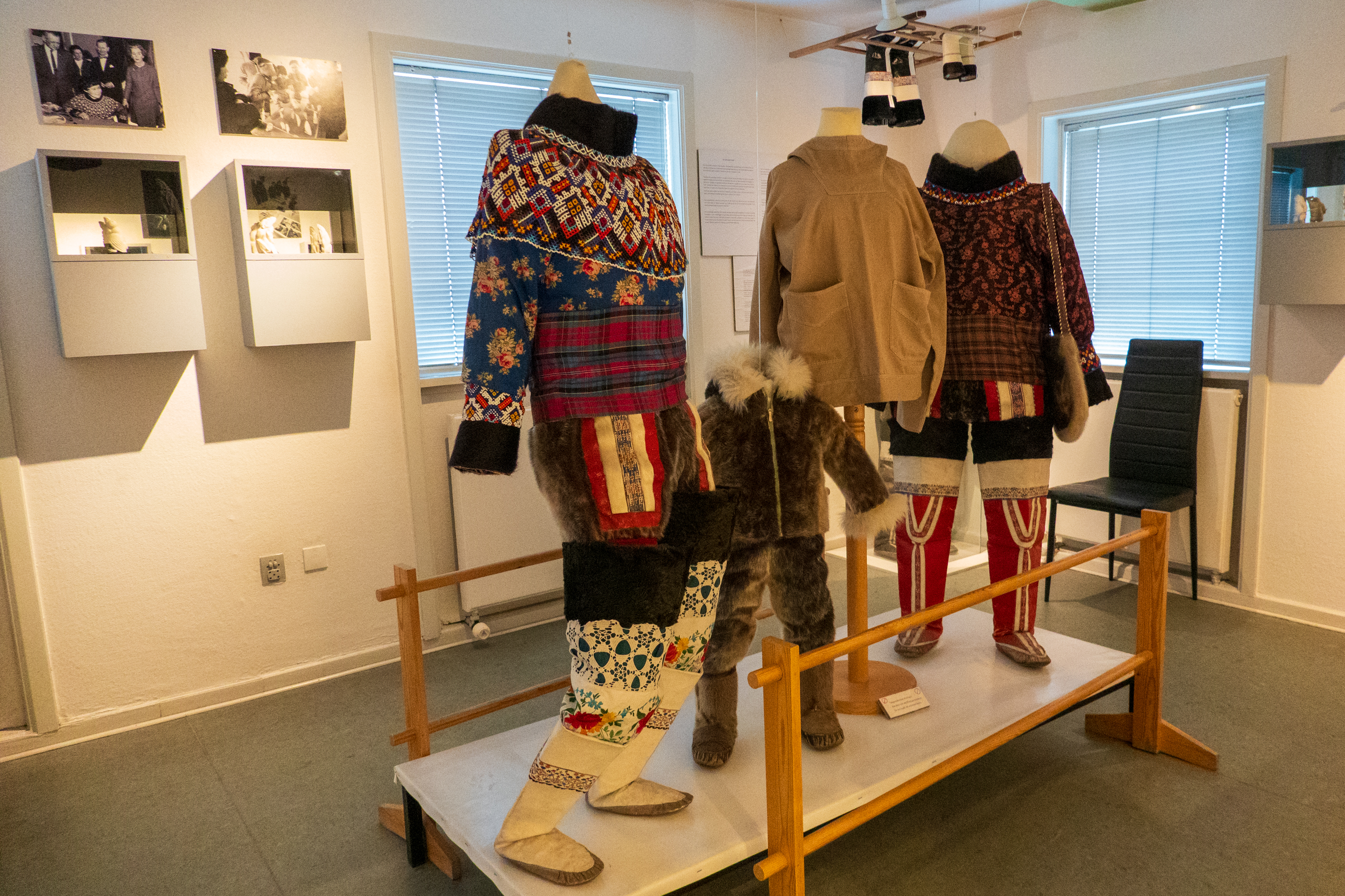
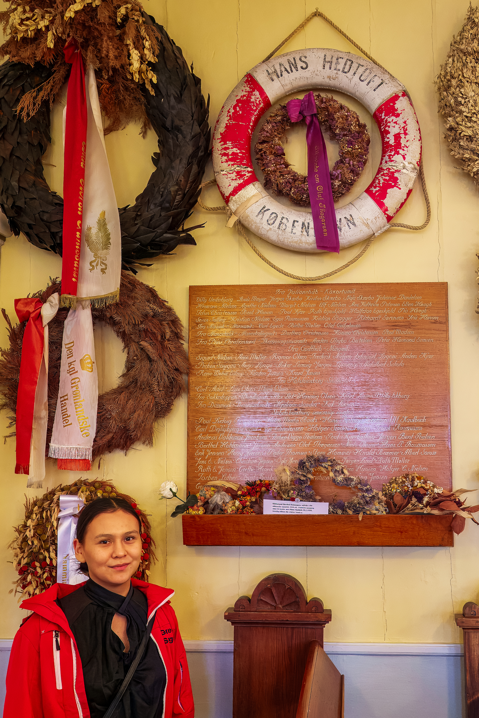
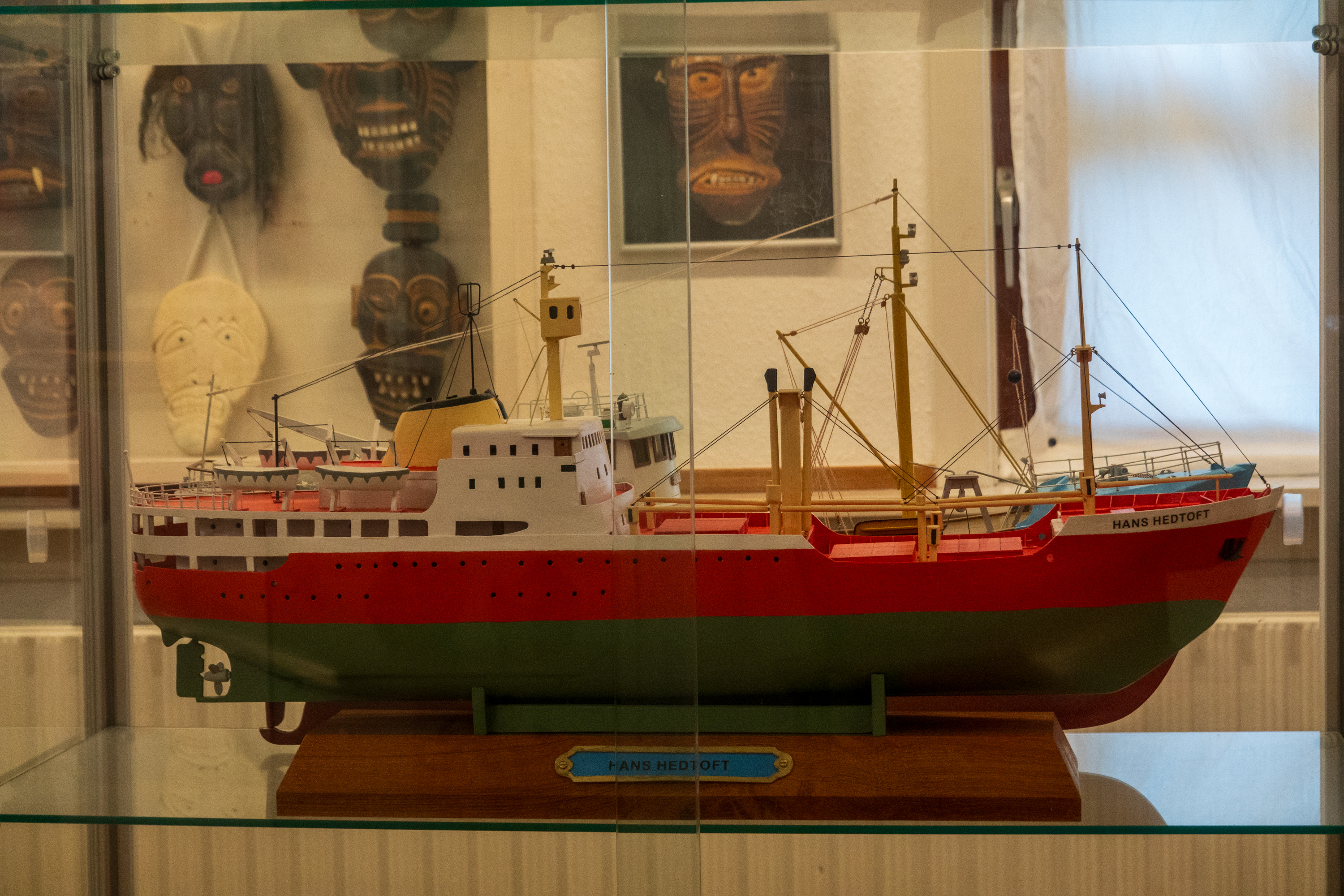
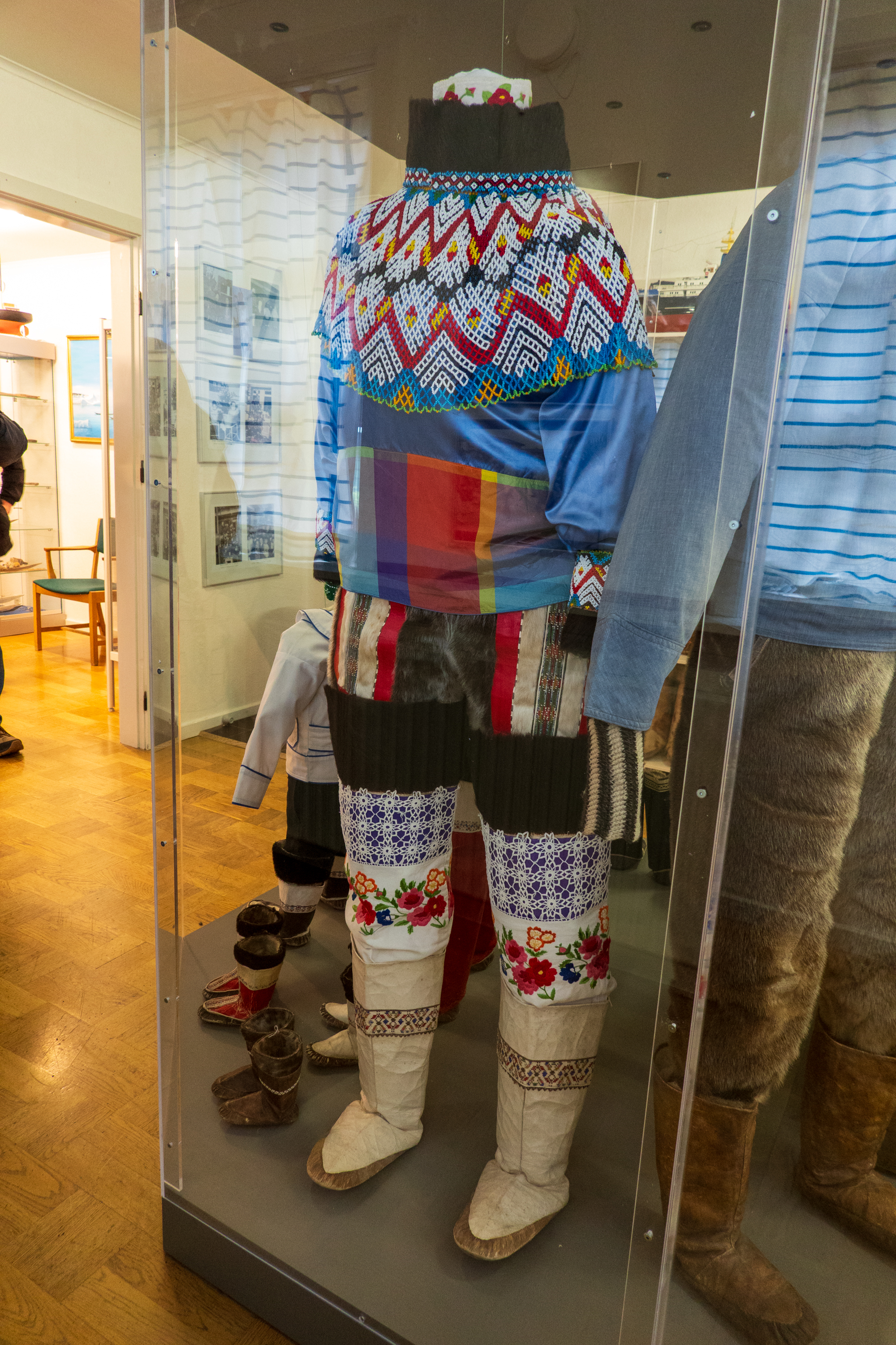
Traditional clothes are warm!Memorial to the lives lost in 1959 when the Hans Hedtoft sank. The life ring is the only thing ever recovered.
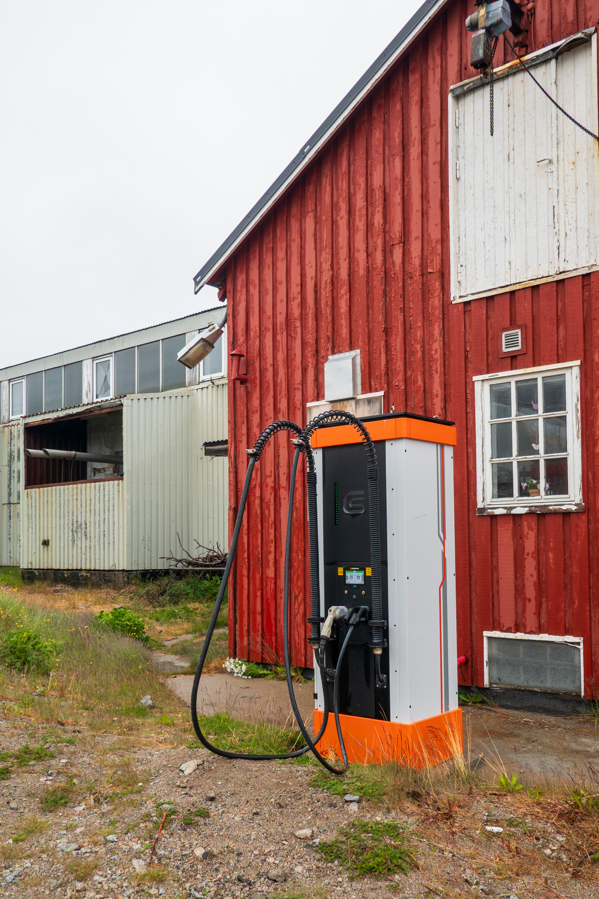
High Speed EV charger. (Everyone knows that EV’s won’t work in cold weather.)
Our next stop was Nanortalik and it was even wetter. In fact we got soaked during our visit! But that did not stop us from exploring the tiny hamlet. The good news was that the infamous Greenland midges did not like the rain any more than we did!
We have been to a lot of places, in many counties, and have always prided ourselves in our adaptability. Here, in Greenland, we had a tremendous feeling that life is REALLY hard and precarious. History records that the Vikings arrived during a warm period and basically abandoned Greenland when the temperatures dropped. We felt a sense of isolation that we never felt in, say, Sahara towns. We were surprised, as we have always considered ourselves very flexible. But Greenland is not on our list of retirement sites.
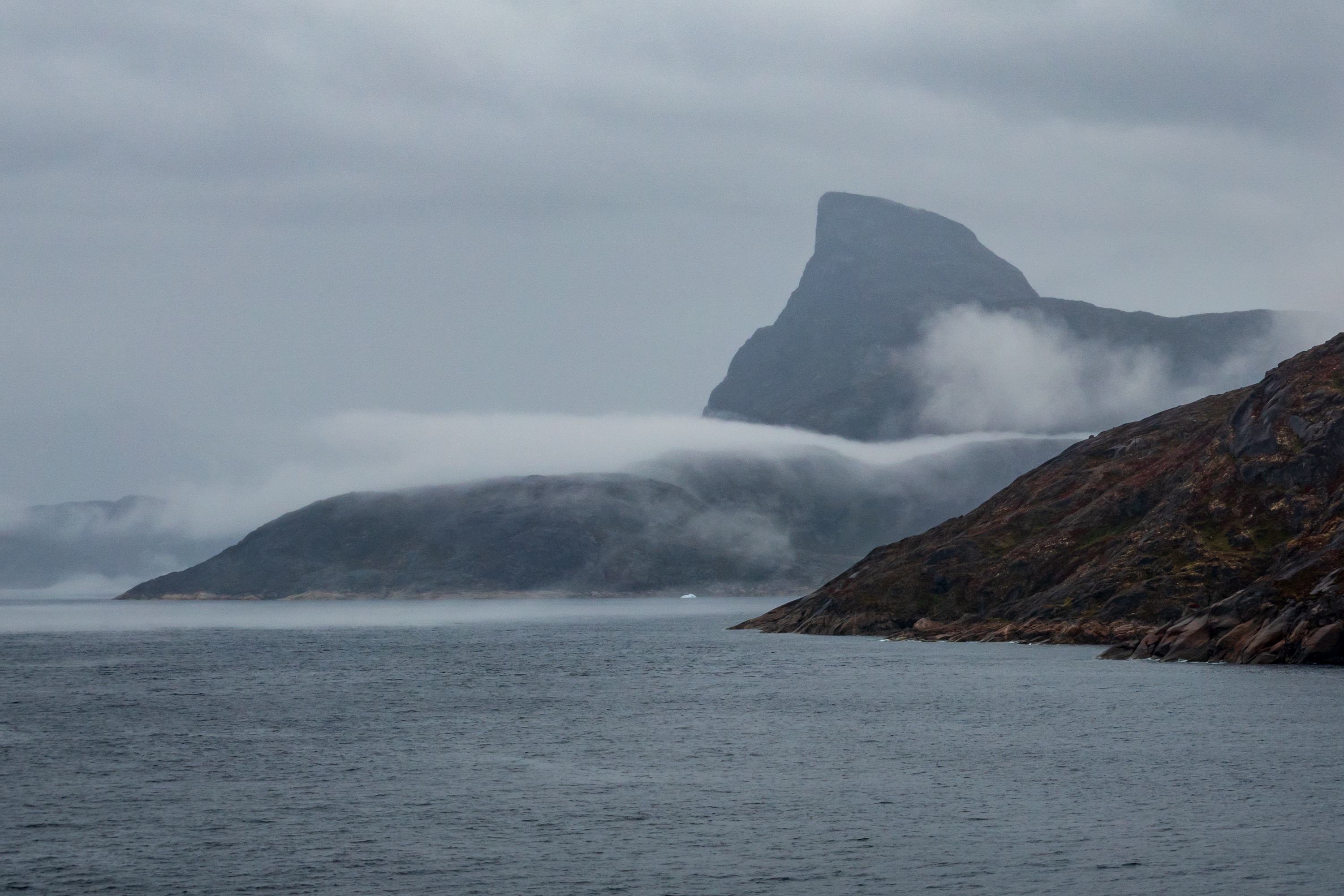
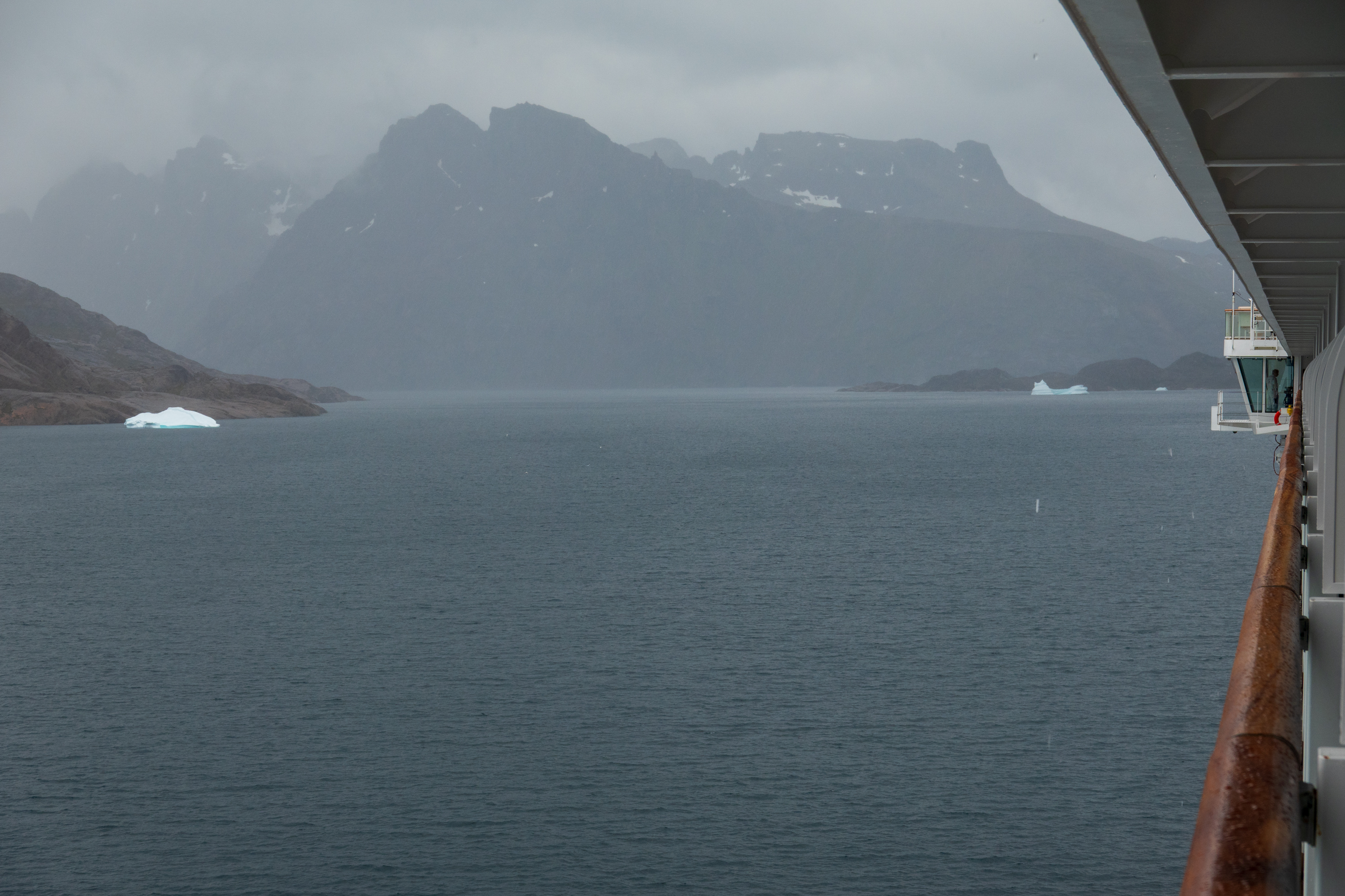
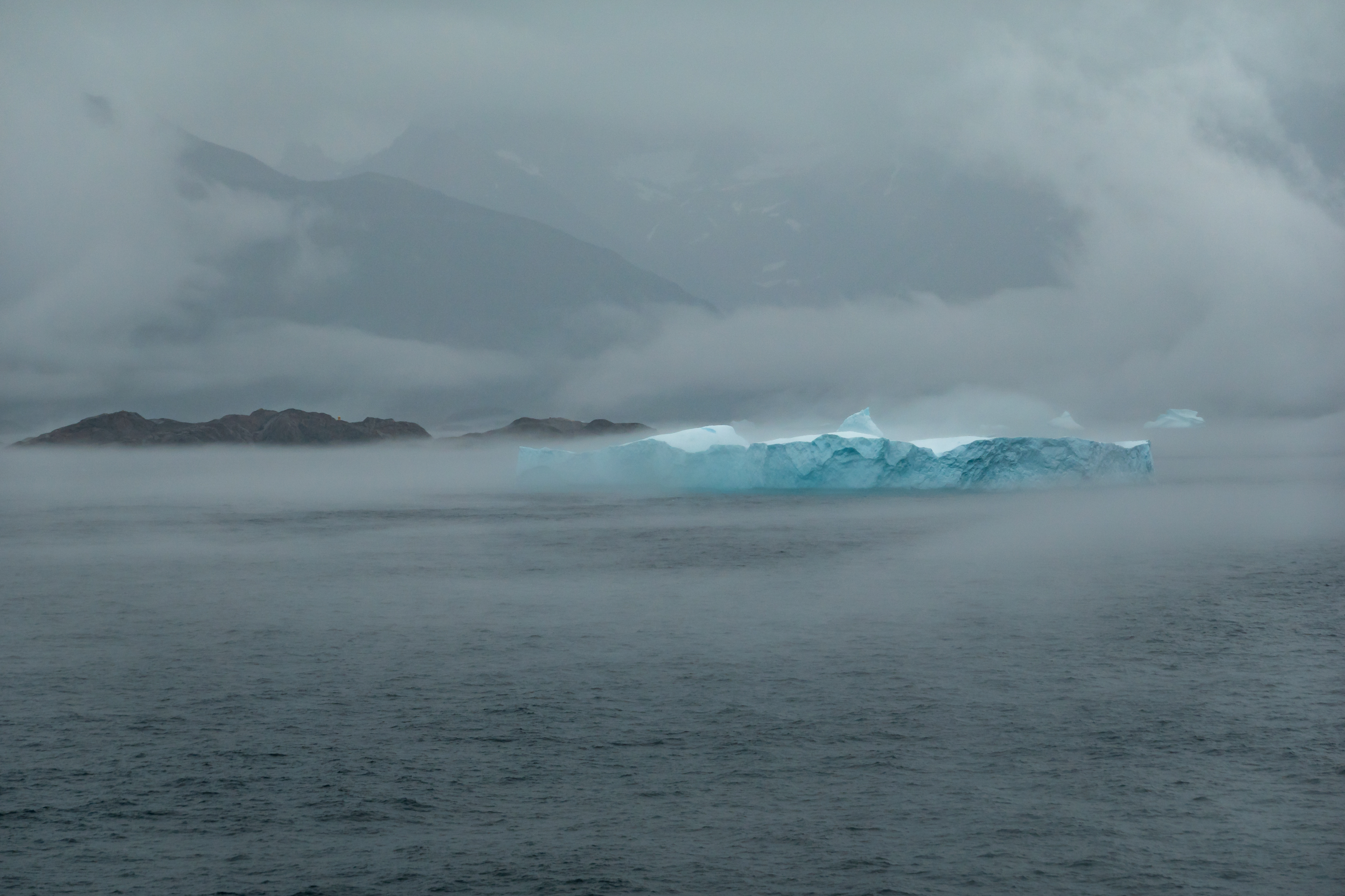
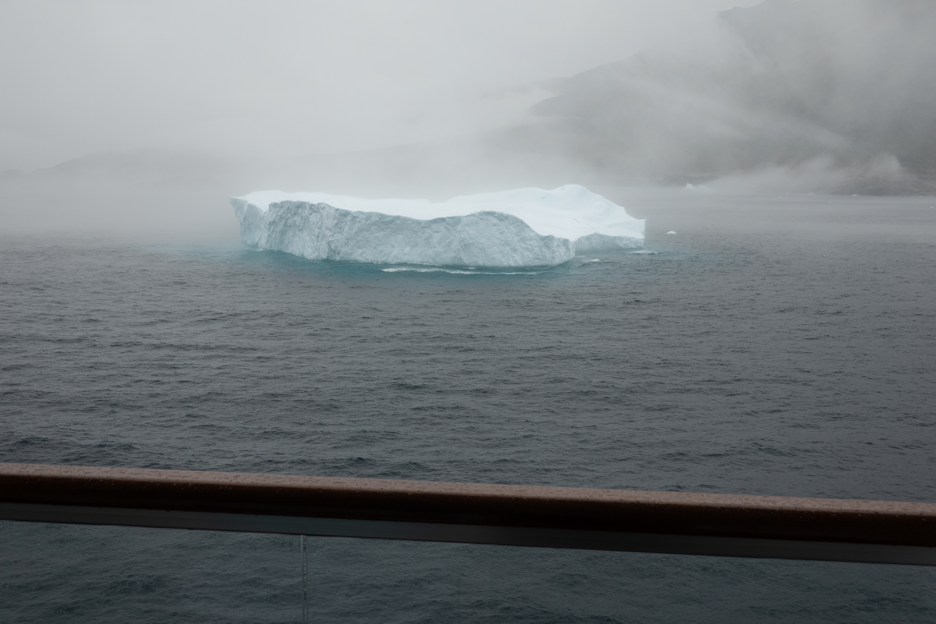
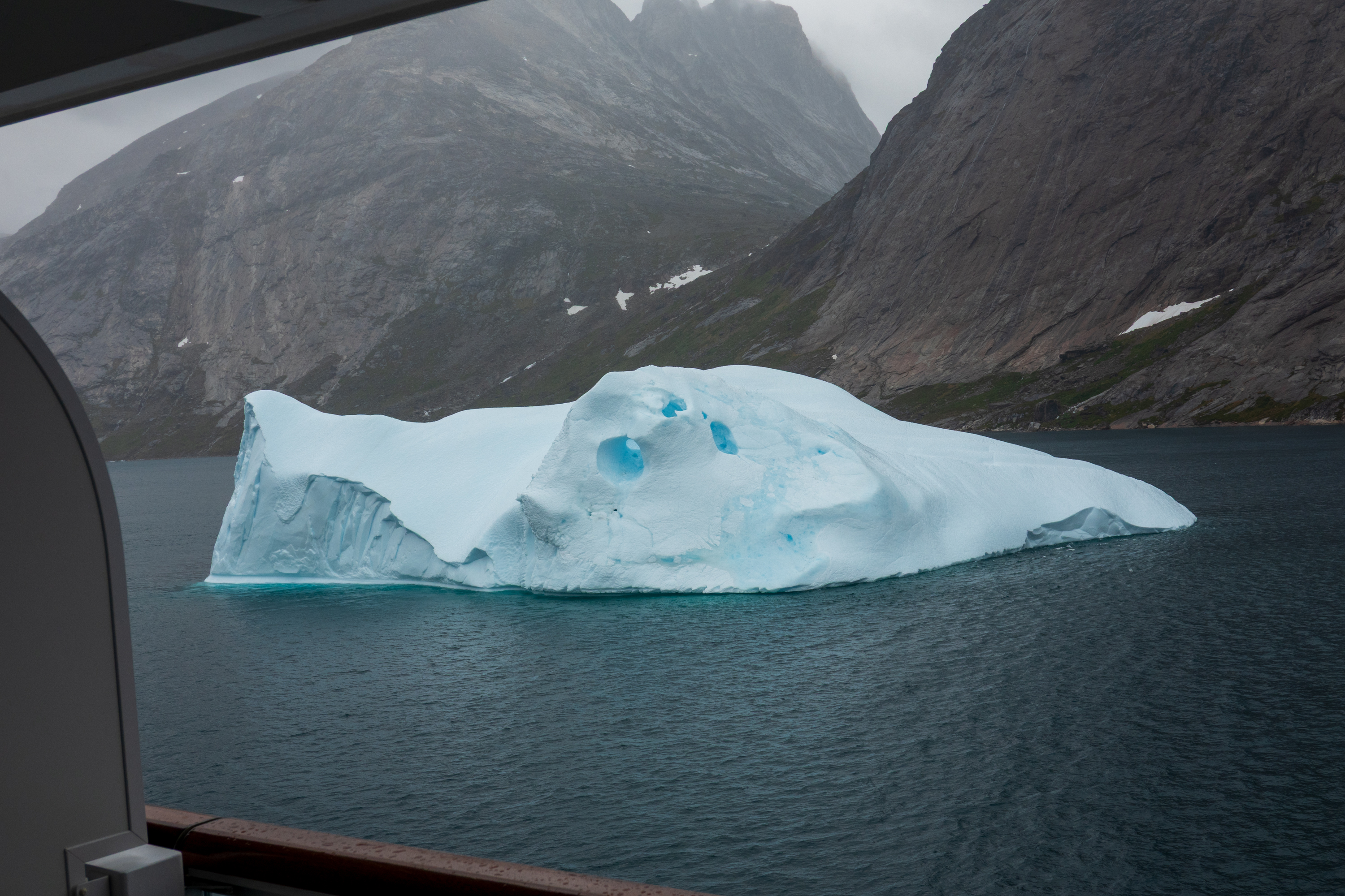
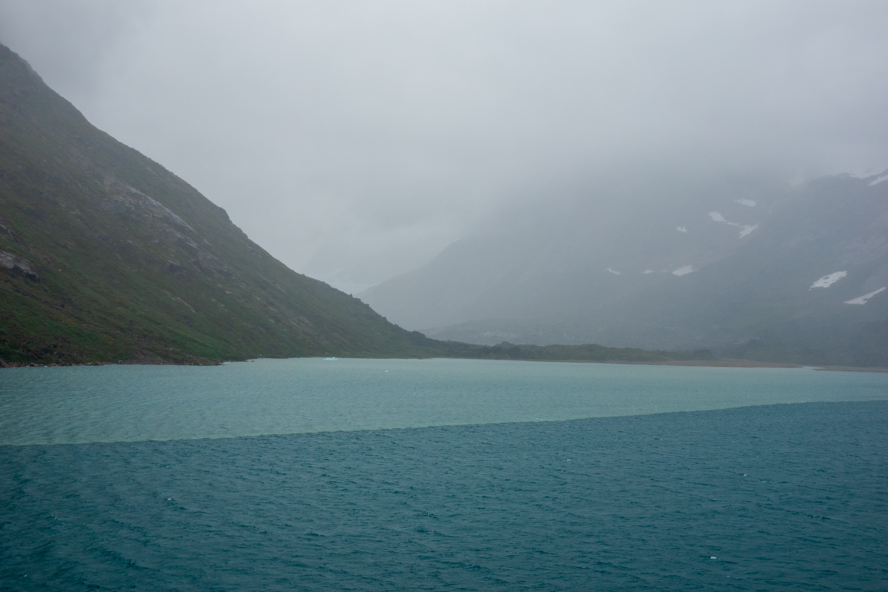
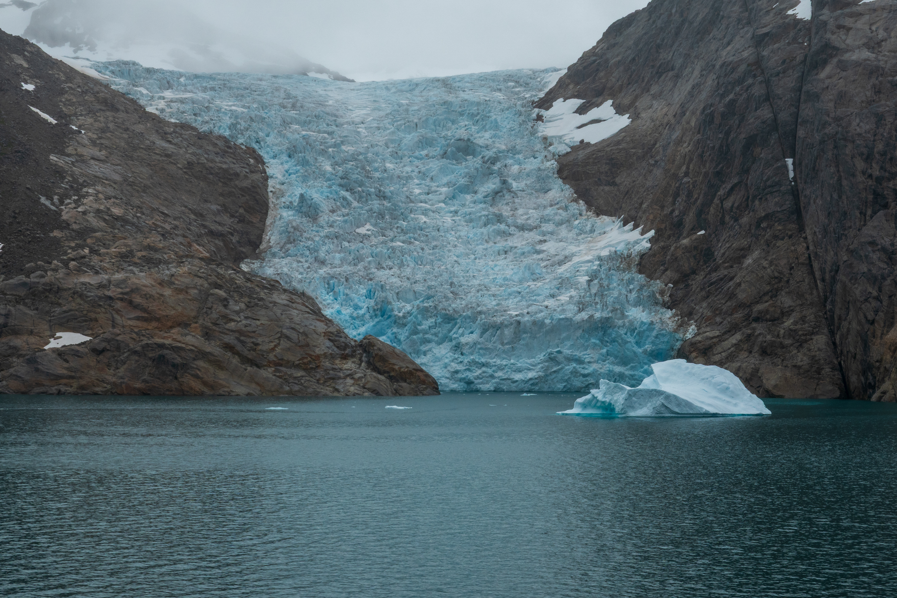
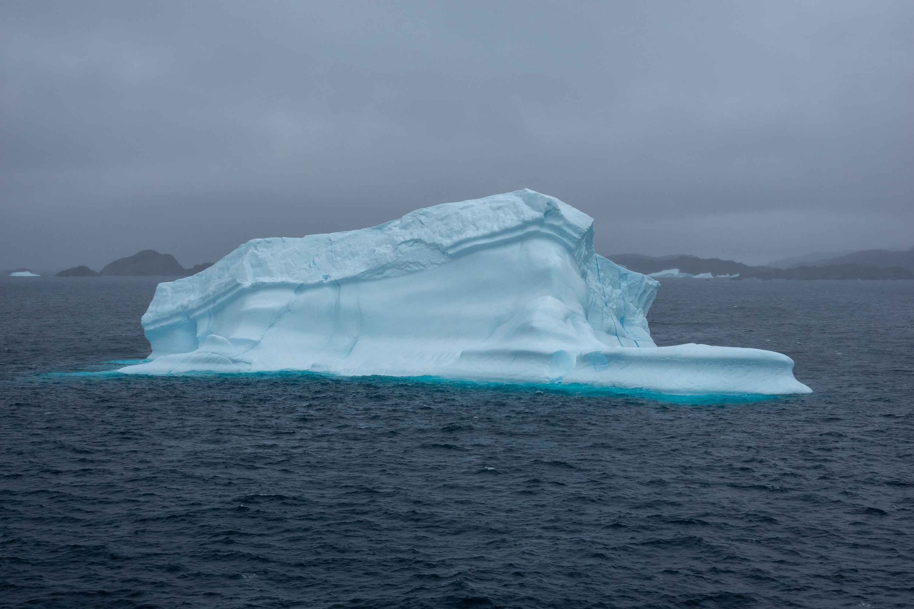
Leaving Nanortalik, we sailed the fabulous Prins Christian Sound channel.(https://en.wikipedia.org/wiki/Prince_Christian_Sound) Only passable in summer, it provides an alternative to the often stormy waters below Cape Farewell. (See the mentions of the sinking of the Hans Hedtoft.) Fans of Alaska’s Inside Passage will love it as it provides amazing sights of waterfalls, glaciers coming down to the fjords and narrow passages. Very dramatic and spooky on a cloudy day. We watched one of the glaciers calf icebergs and even saw some whales.
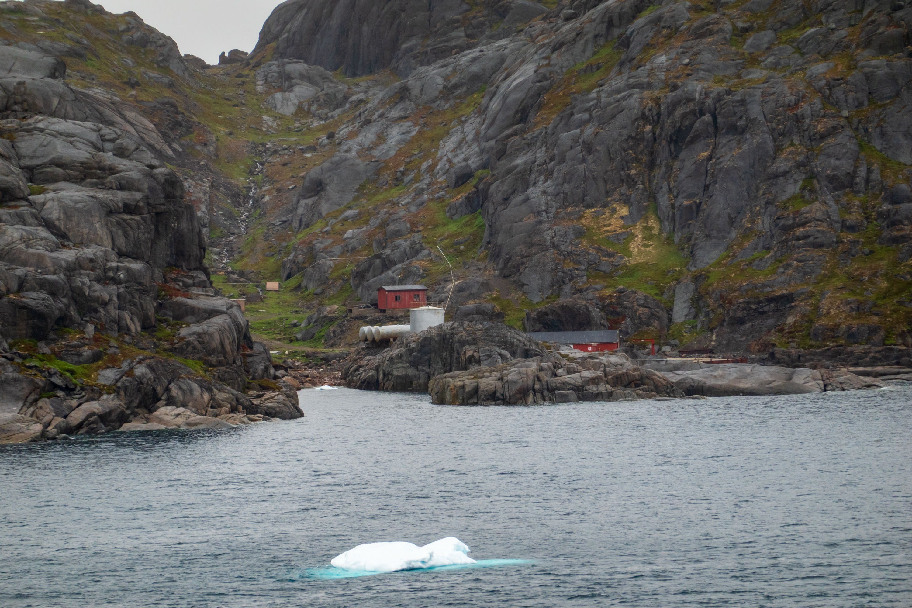
Bluie East One was a weather station located at the entrance to the Prince Christian Sound near the southern tip of Greenland. It was built by the US military during WW2, for the purpose of providing weather data. It remained in use for the same purpose after the war, and is jointly run by the International Civil Aviation Organization and the Tele Greenland today. It is now totally automated, but back in the day, people had to climb the hundreds of steps up to the antennae on the mountain top.
A last view of the sound and Greenland.
Back in the Atlantic again, we sailed a day of flat calm seas to Northern Iceland.
It was, of course, a holiday weekend in the UK, so we were able to enjoy some fun family time as we were preparing the truck for shipment back to the US. The preparations involved power washing, especially the chassis underneath, cleaning the interior, removal of all food items, and making sure that everything left was stashed away and not visible. The family time included a great dinner at a nephew’s house, a wonderful lunch with my sister and brother in law, and a barbecue with other family members.
Bon Voyage to the 917
So, after the Bank Holiday Monday, we headed north towards Liverpool in the truck. Traffic was bad in places and we did lose some time but we made it to the hotel we had reserved near the port of Liverpool and managed to find a place to park.
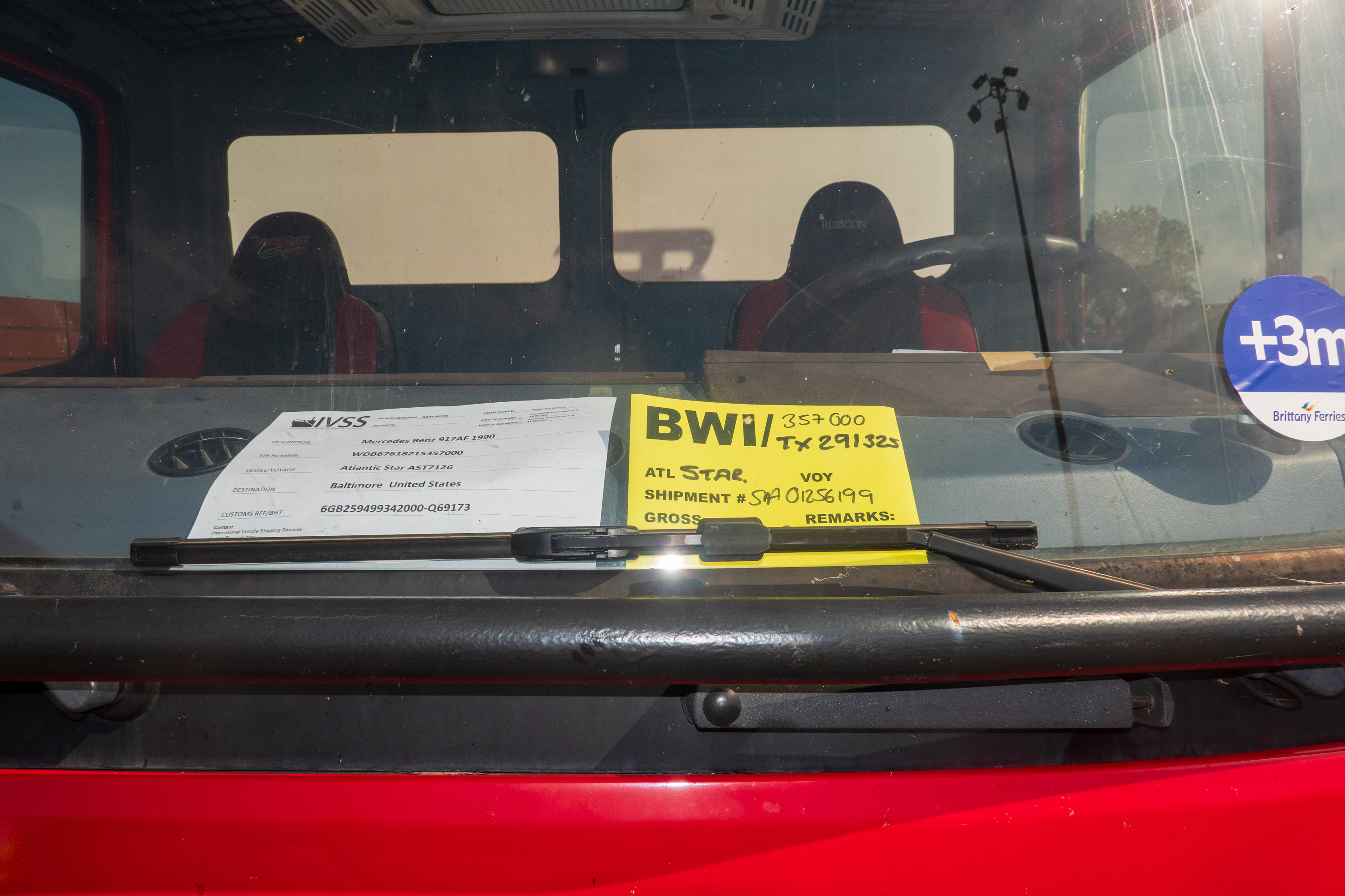
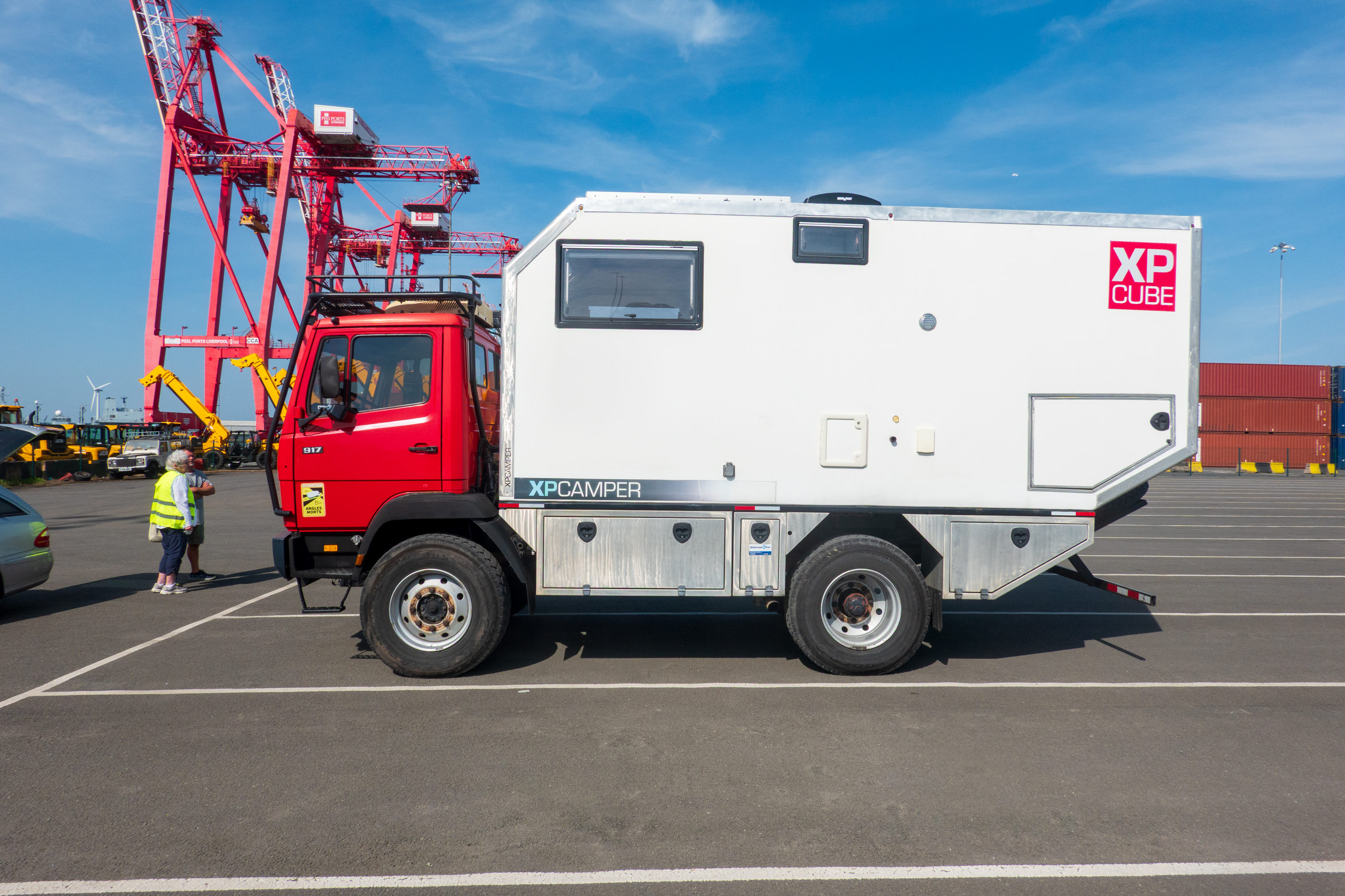
Dropping off the truck proved to be fairly simple. Though as usual, there were few signs and Fred had to hunt down the office, in an unmarked cabin. Armed with our instructions we found the parking area and met with the agent. He took over our keys and then was nice enough to drive us, and our bags, to the local train station. A most helpful gentleman, he was in the process of building up his own Land Rover in preparation for a European trip, and was delighted to examine our truck.
Hopefully, the truck won’t get lost and get on the wrong ship.
Denise saying good bye on the pier.
Hitting the Rails
Once at the station, we bought tickets for Glossop, Derbyshire and sorted out our train route. It involved several changes, but all went well and we were met at Glossop station by a friend from Botswana with whom we were spending three nights. It was wonderful to see her again. We had stayed before and visited several of the outstanding mansions in the neighbourhood, Chatsworth, Haddon Hall, and Lyme Park, so this time we were happy to relax a bit. We enjoyed a great dinner with her family, even with her son, a fireman, being called out on a run.
Then it was time for the next stage of our train saga to begin; first stop, York.
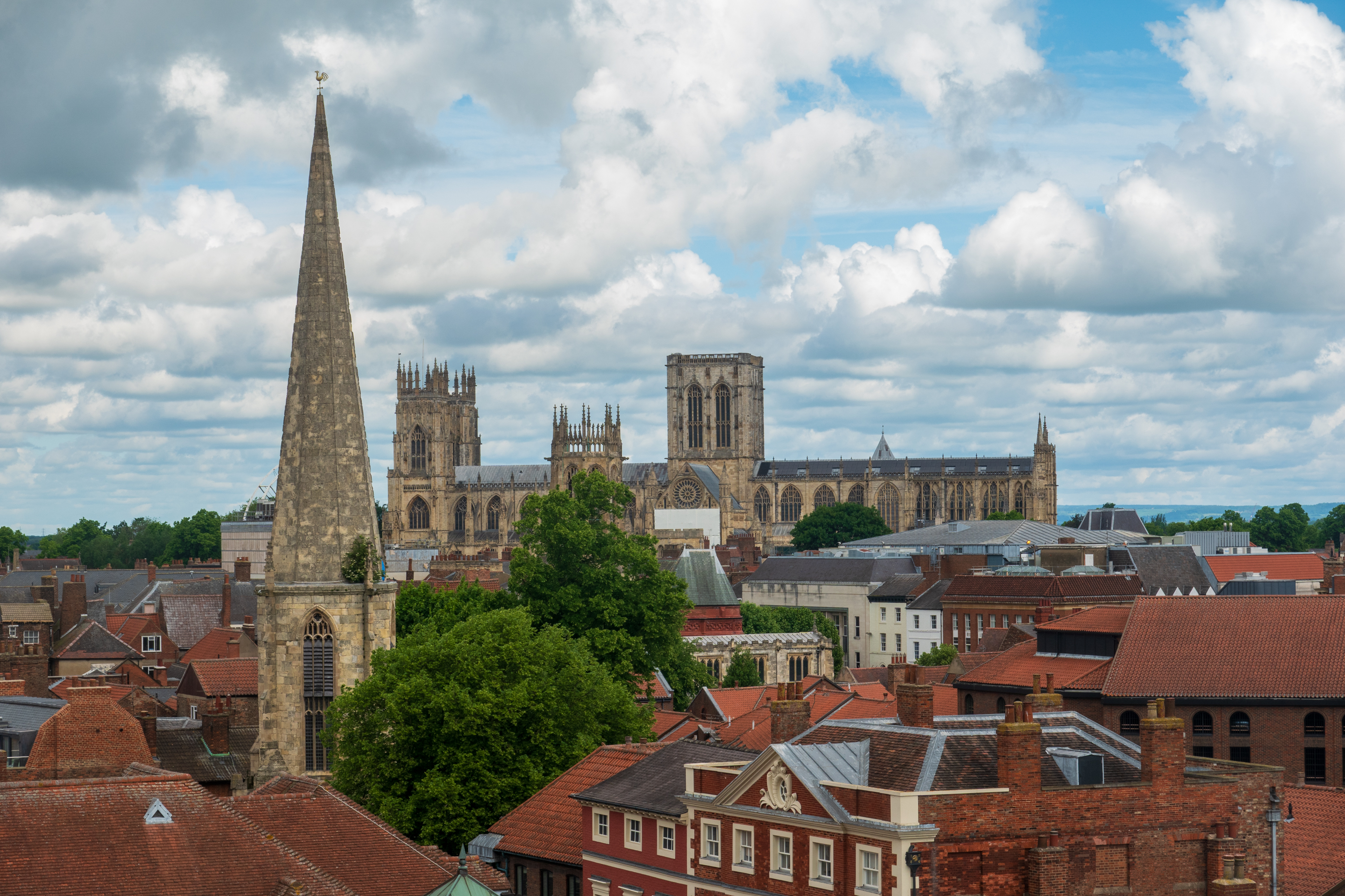
York Minster from Clifford’s Tower.
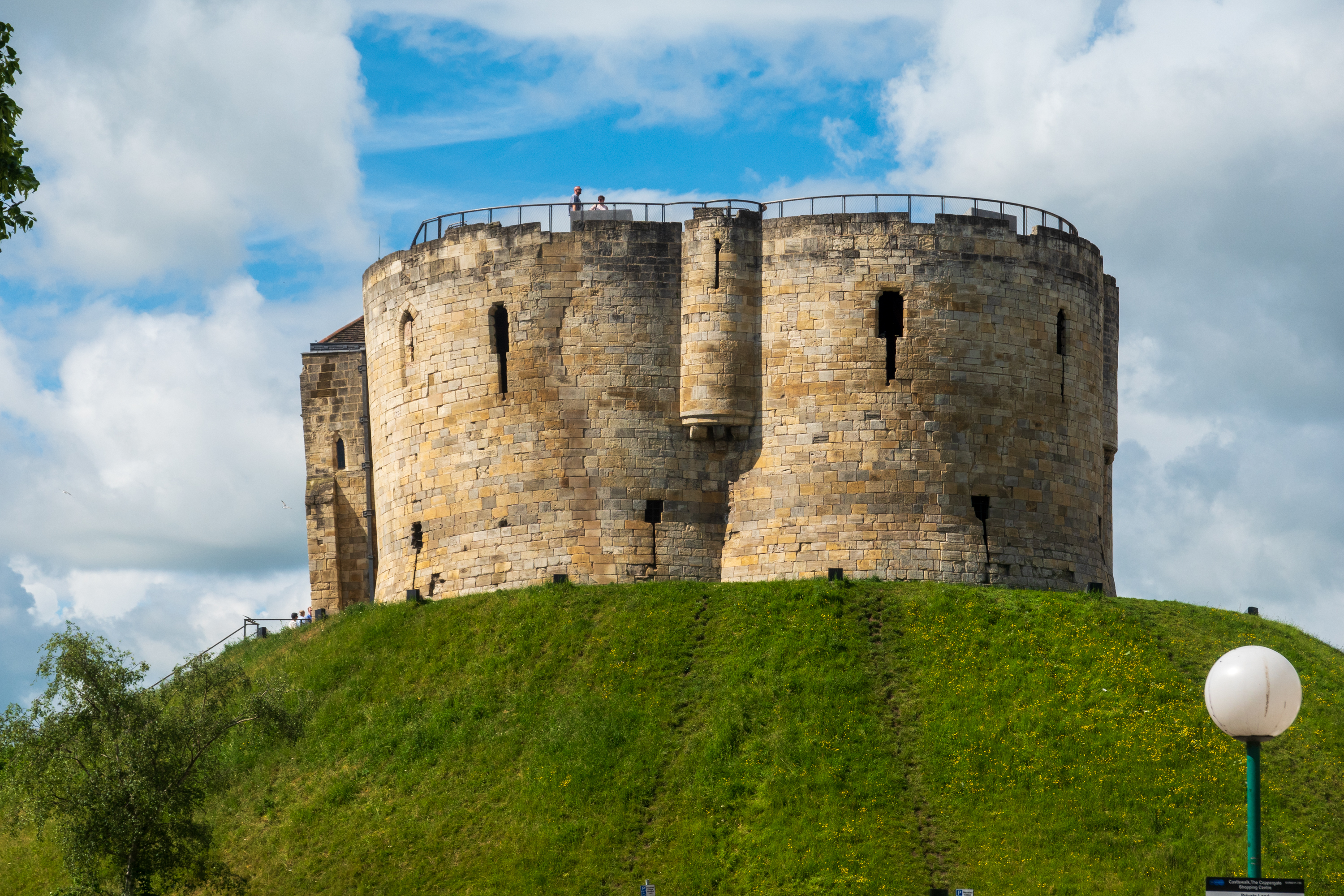
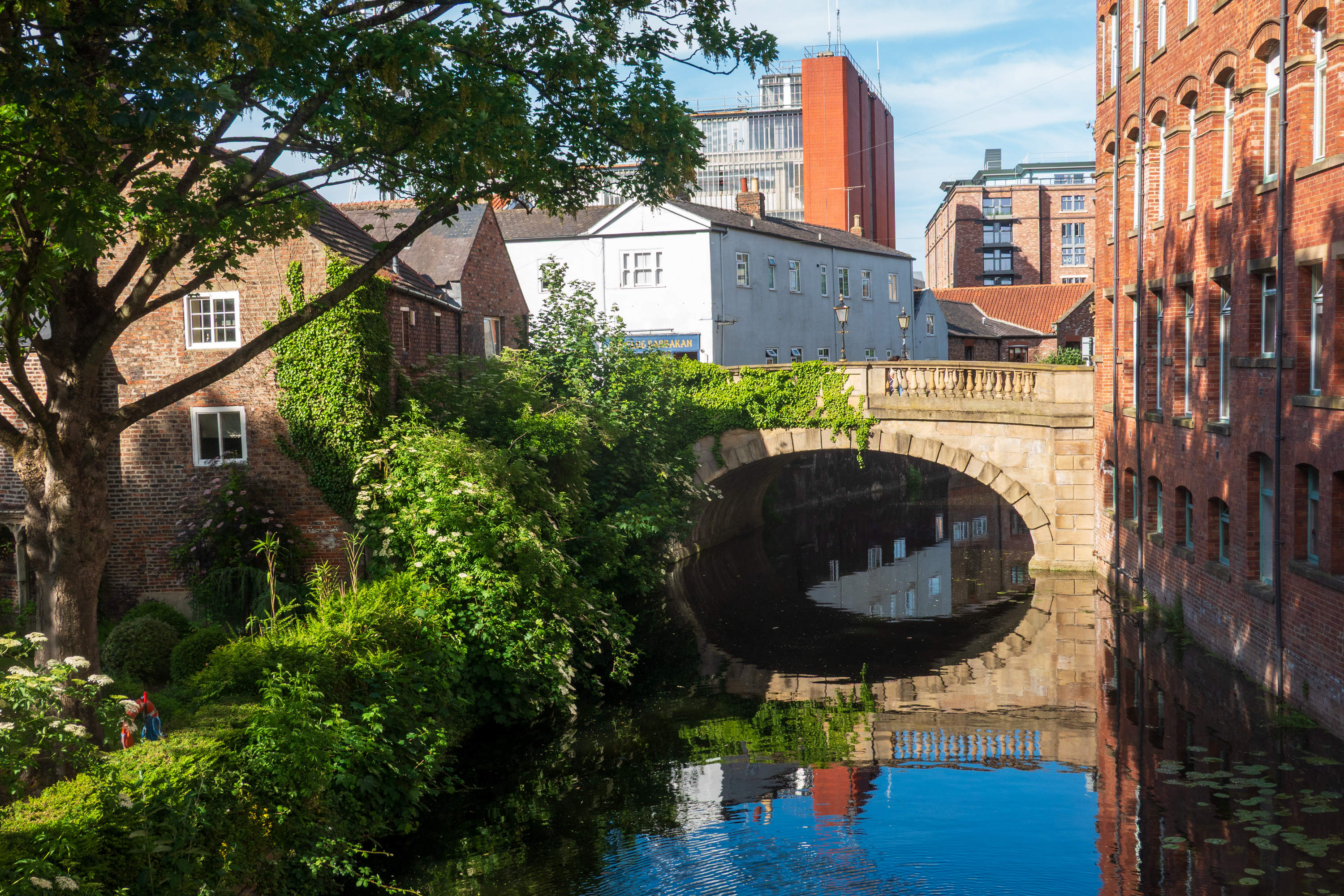
It had been years since we had been there, so it was fun to rediscover the city. We started with a hop on and hop off bus trip which we caught at the infamous Clifford’s Tower. (https://en.wikipedia.org/wiki/York_Castle)
The infamous tower.
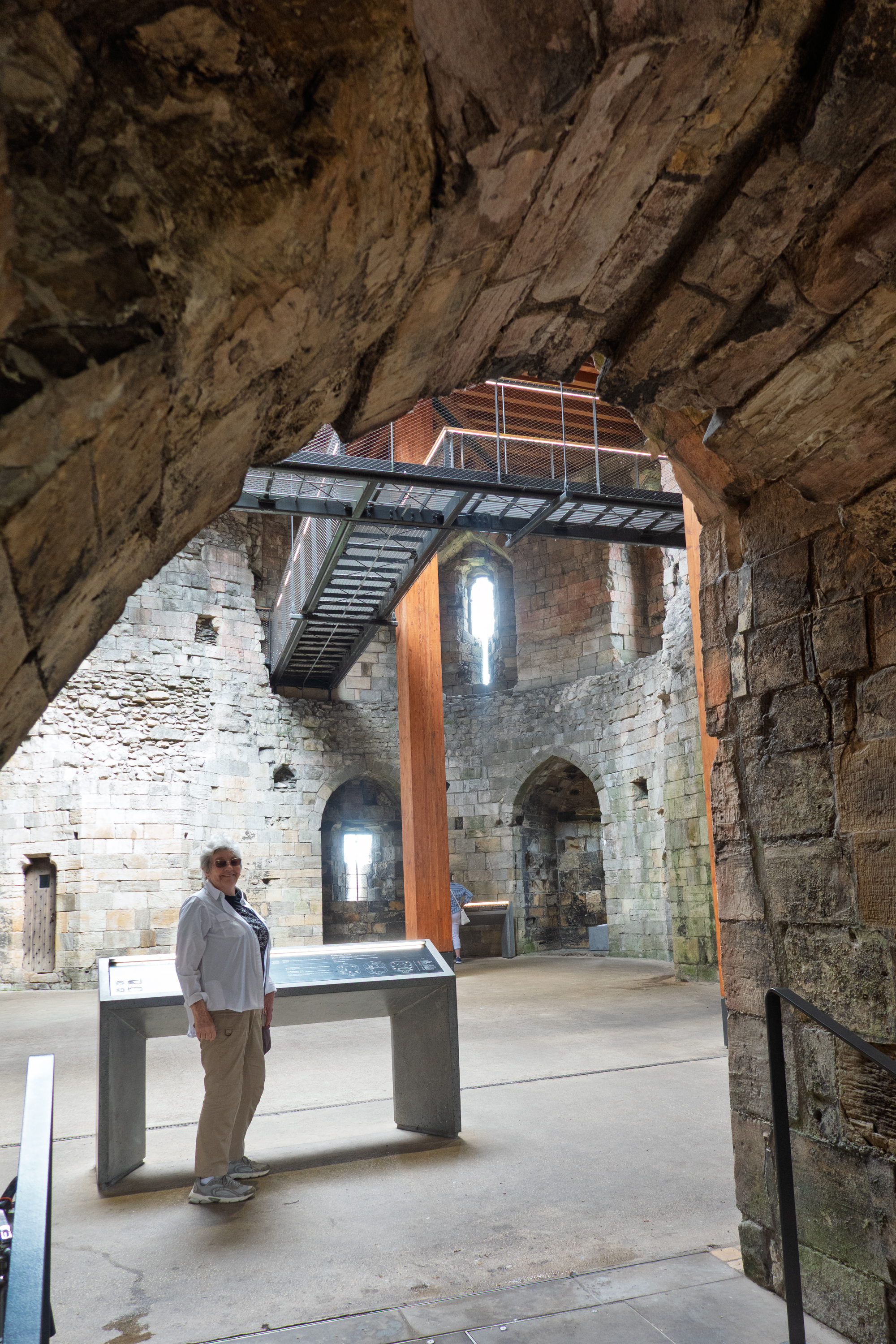
The interior of the tower is rather spare, but the views are great.
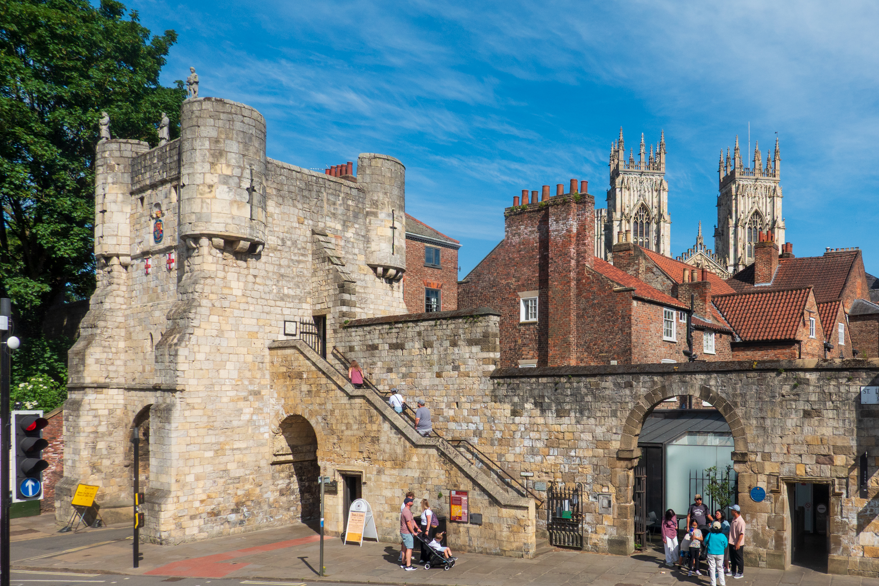
City walls, parts of which probably date back to the Romans.
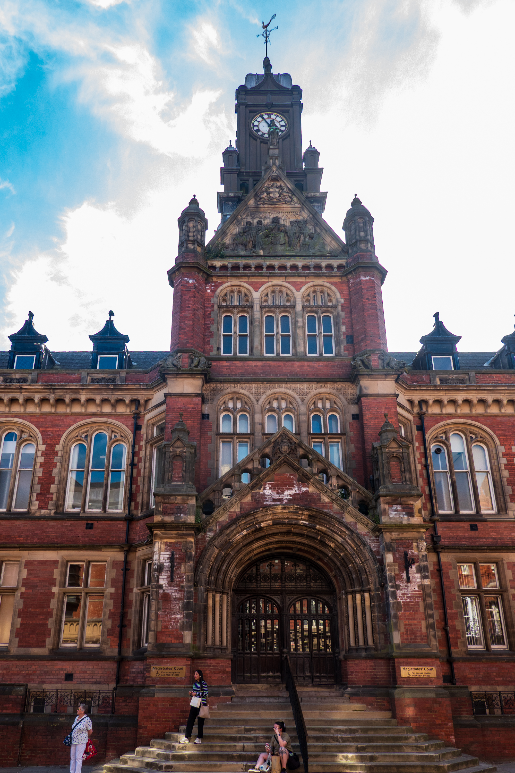
Magistrates Court
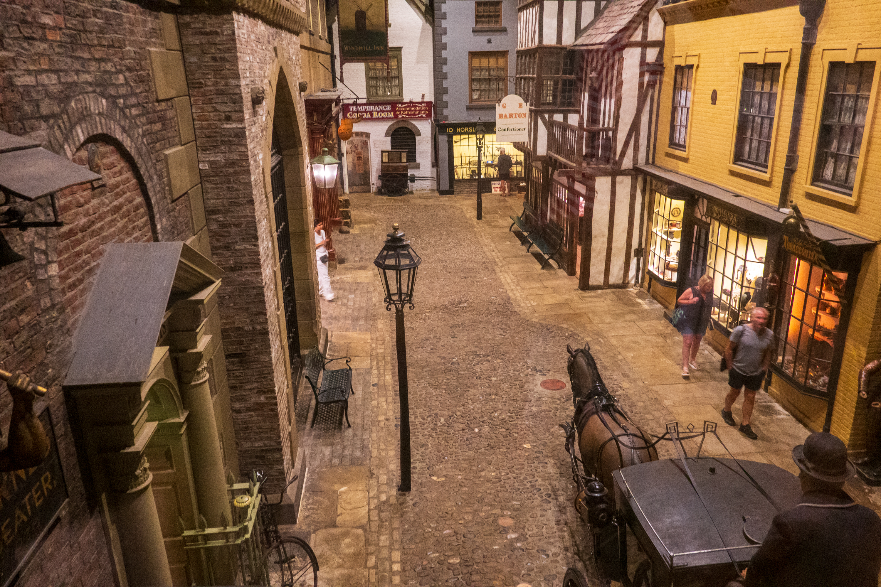
On the square below Clifford’s Tower is the Castle Court Museum. (https://www.yorkcastlemuseum.org.uk) This is a lot of fun, partially arranged as a trip to York in Victorian times. You play the part of a traveler, en route to York. As you approach the exhibits, you stop in inn room where various fellow travelers introduce themselves and tell you why they are going to York and what they hope to do. Once in the exhibits, you visit the streets and shops they mentioned.
Part of the fun is walking down a full size reproduction of the street, and stepping into the various stores to examine what they sell.
We wandered the debtor’s prison, the WWI exhibit and the rather perfunctory ’60’s exhibit.
We had rebooked a visit to the Yorvik Viking Center, a museum below the streets of York where a Viking settlement had been discovered. (https://www.jorvikvikingcentre.co.uk/) They have revamped the train and exhibits, but it was just as much fun this time as it had been when we visited and the children were small. The Yorvik center is unusual as the ruins are, of course, exactly where they were found and the modern street follows the Viking street exactly. The ruins were found during a renovation, so the Yorvik center is just another entrance on a modern shopping street. All of the actual exhibits are under the modern buildings, at the old ground level.
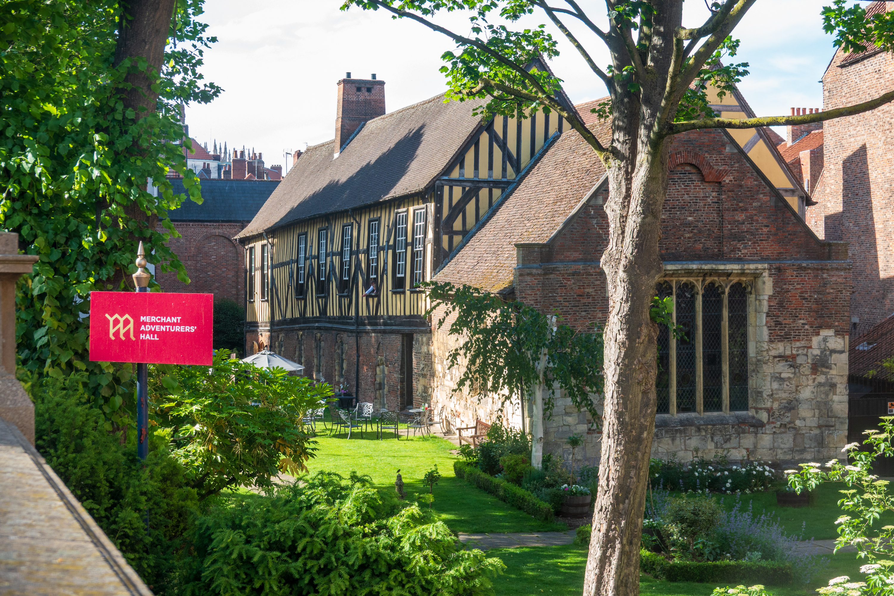
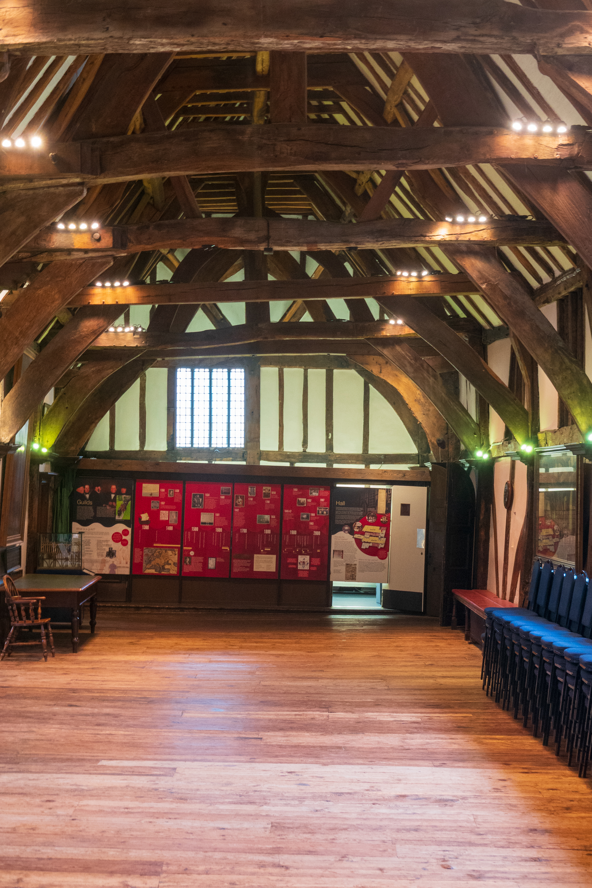
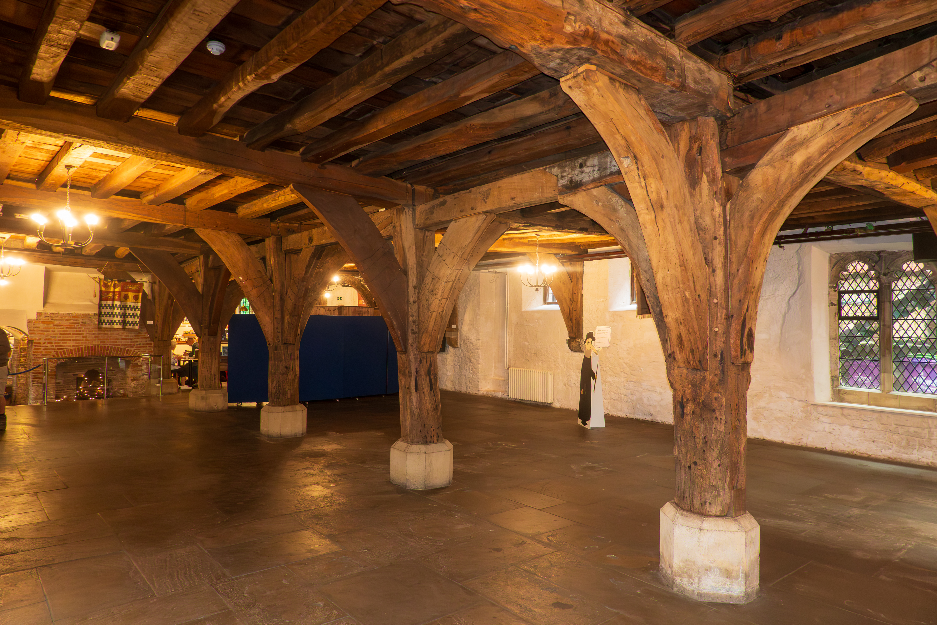
A new discovery this trip is the Merchant Adventurer’s Guildhall, an interesting study in both architecture and business practices – the guild is still active and just elected a woman president. (https://en.wikipedia.org/wiki/Merchant_Adventurers’_Hall)
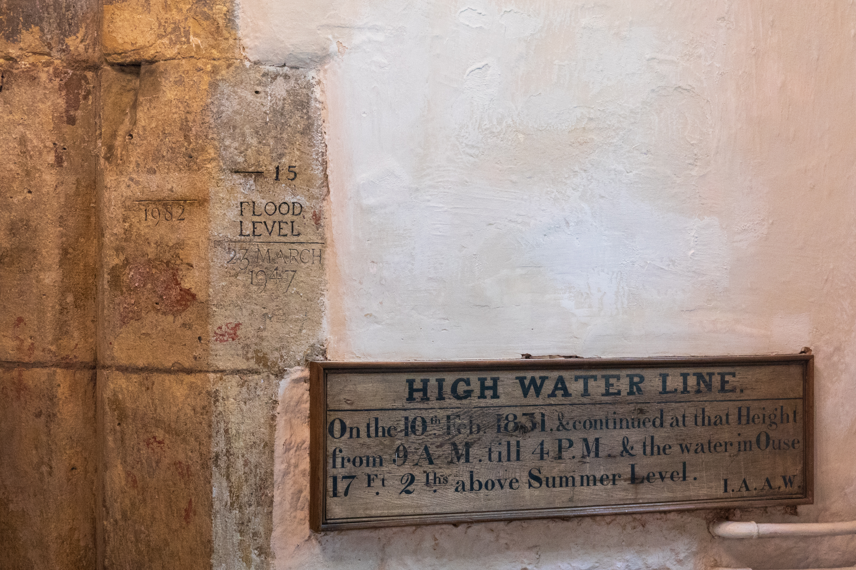
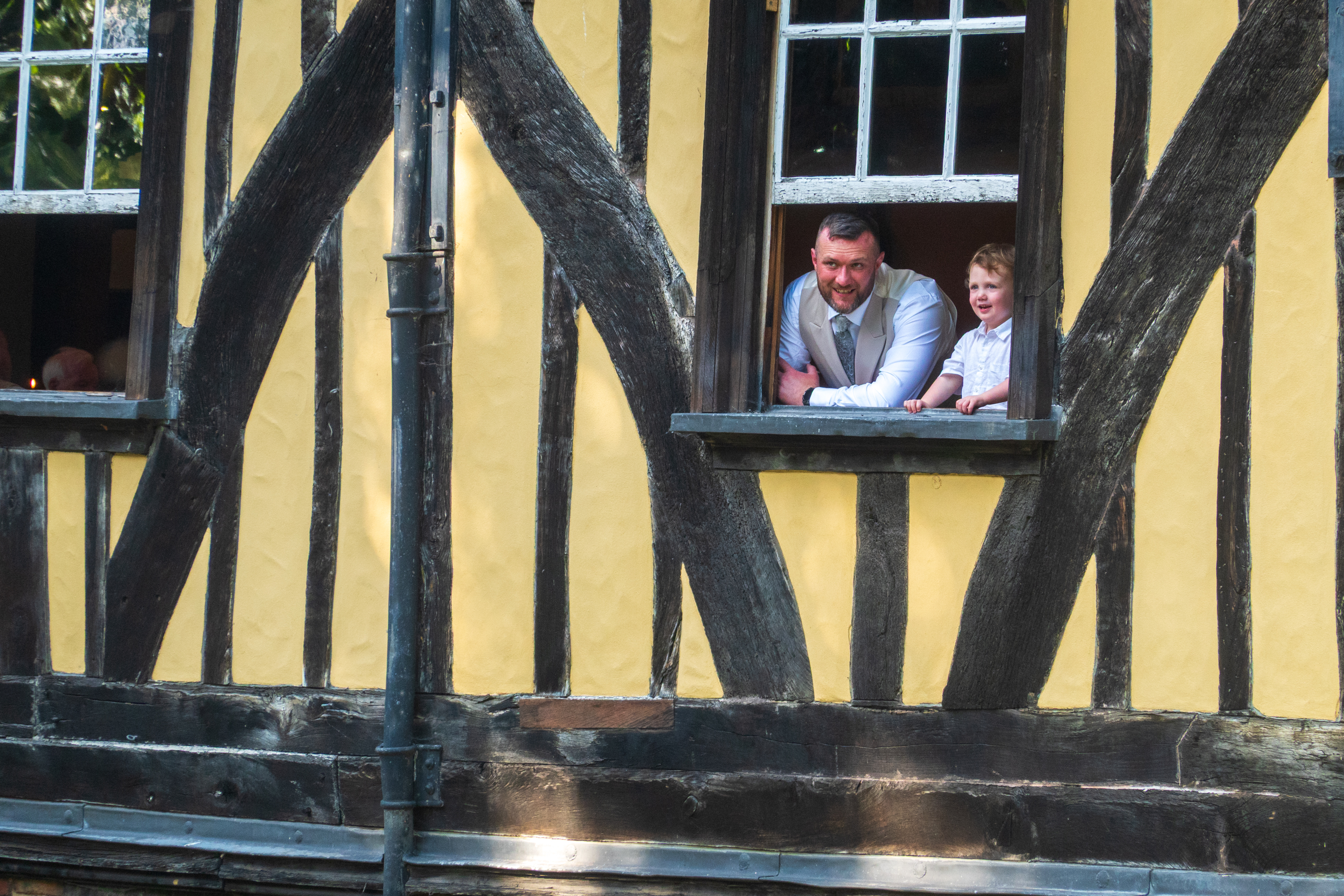
This is an amazing old building from the 13th century, still available for hire even though the flooring is not at all flat. It felt quite odd to walk on it and would really not like to dance on it! But the museum was well worth the visit.
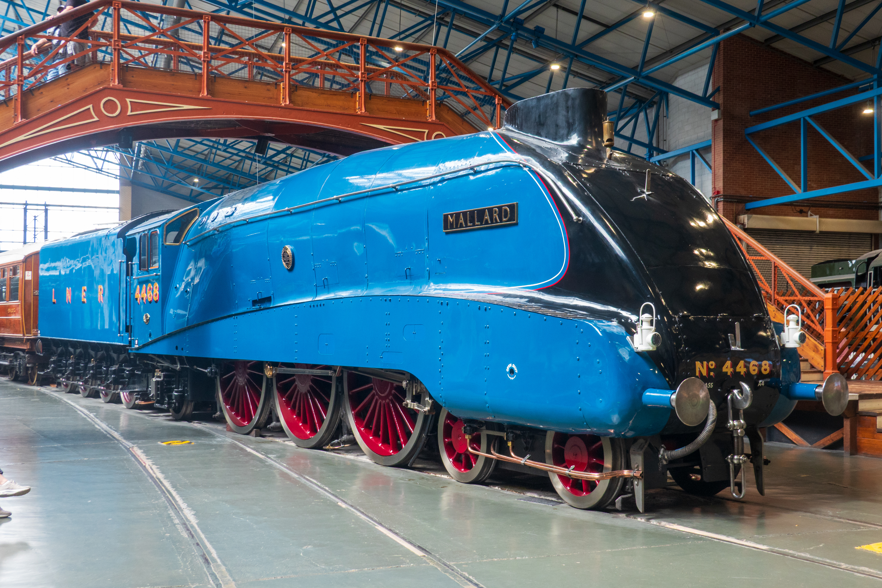
So Fred set out on the trek, and trek it was, first back to the modern railway station, then through a tunnel to the museum entrance – which was closed – under construction. Another half mile hike down beautiful bike trails let him around back to the old entrances. Fortunately, the museum was well worth it! The collection is huge, spanning UK, and some world railroads, all the way from the “Rocket” to modern high speed trains.
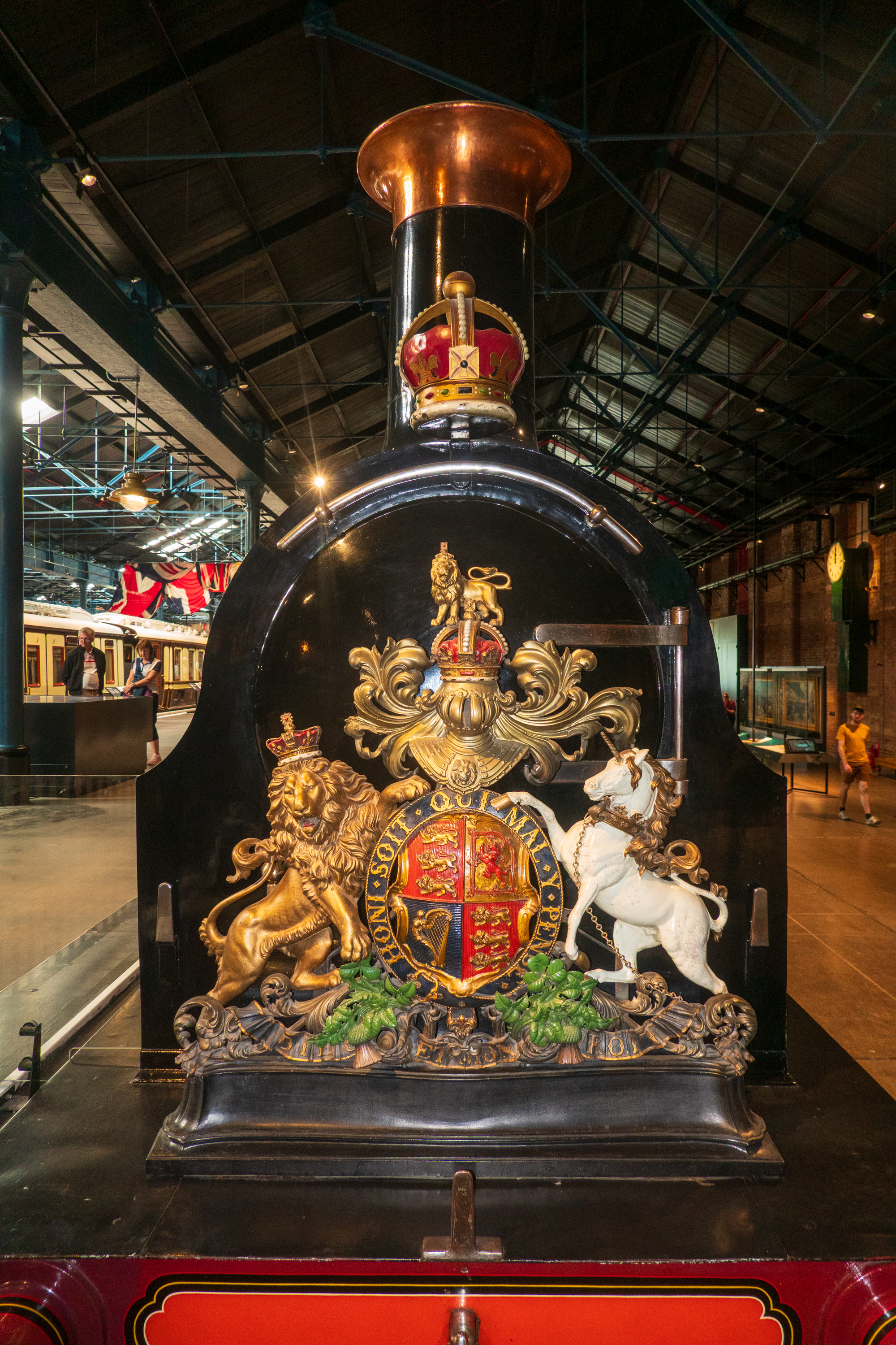
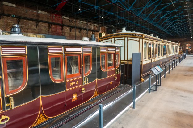
From the earliest days, the Royal family had dedicated railway carriages and even decorated engines.
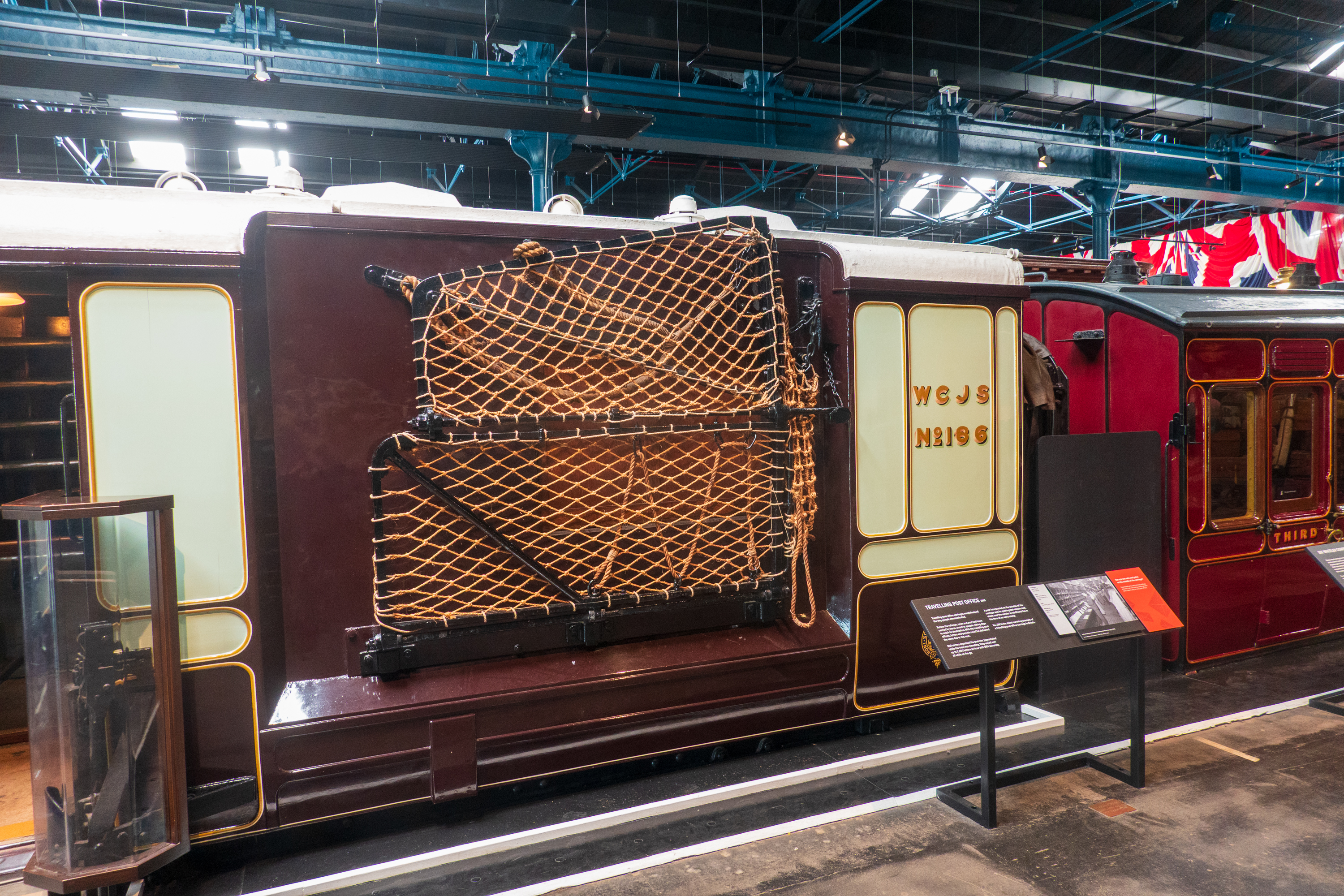
Fast mail trains had pick up devices to collect mail bags without slowing down.
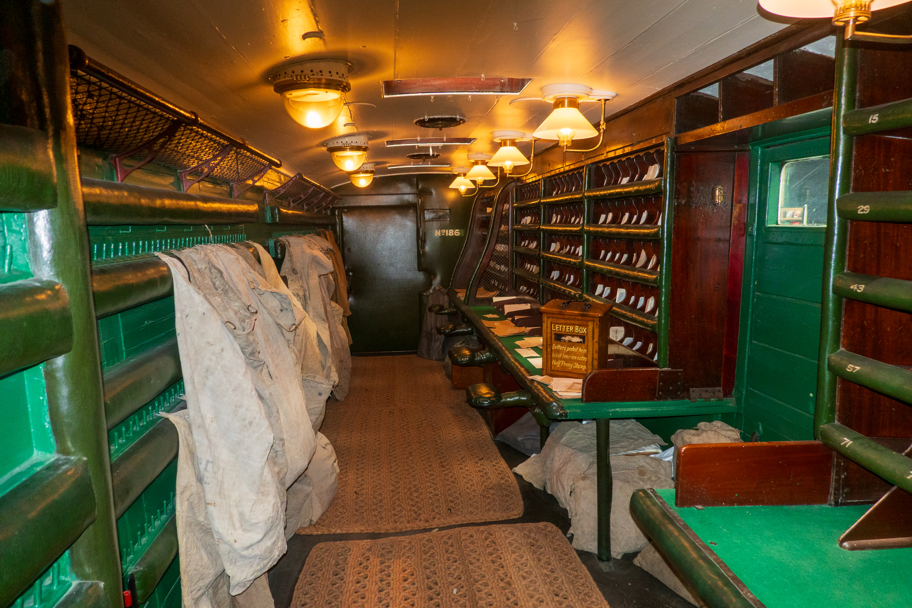
Once on board, the mail was sorted and bagged and then tossed out at the appropriate stations, again, without stopping.
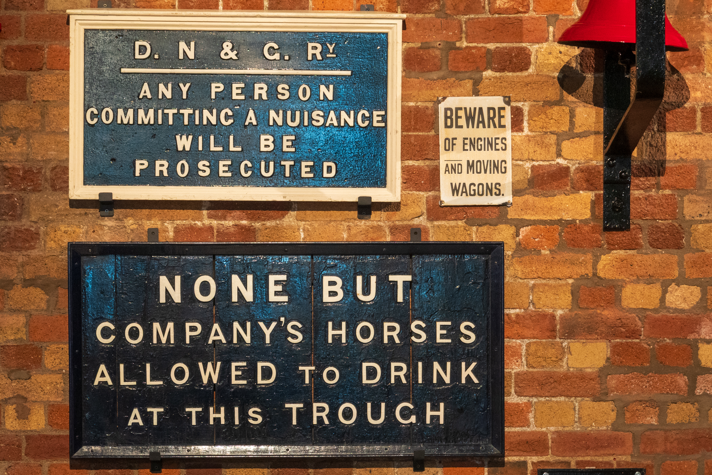
Do you suppose the horses could read this sign? And if so, did they care?
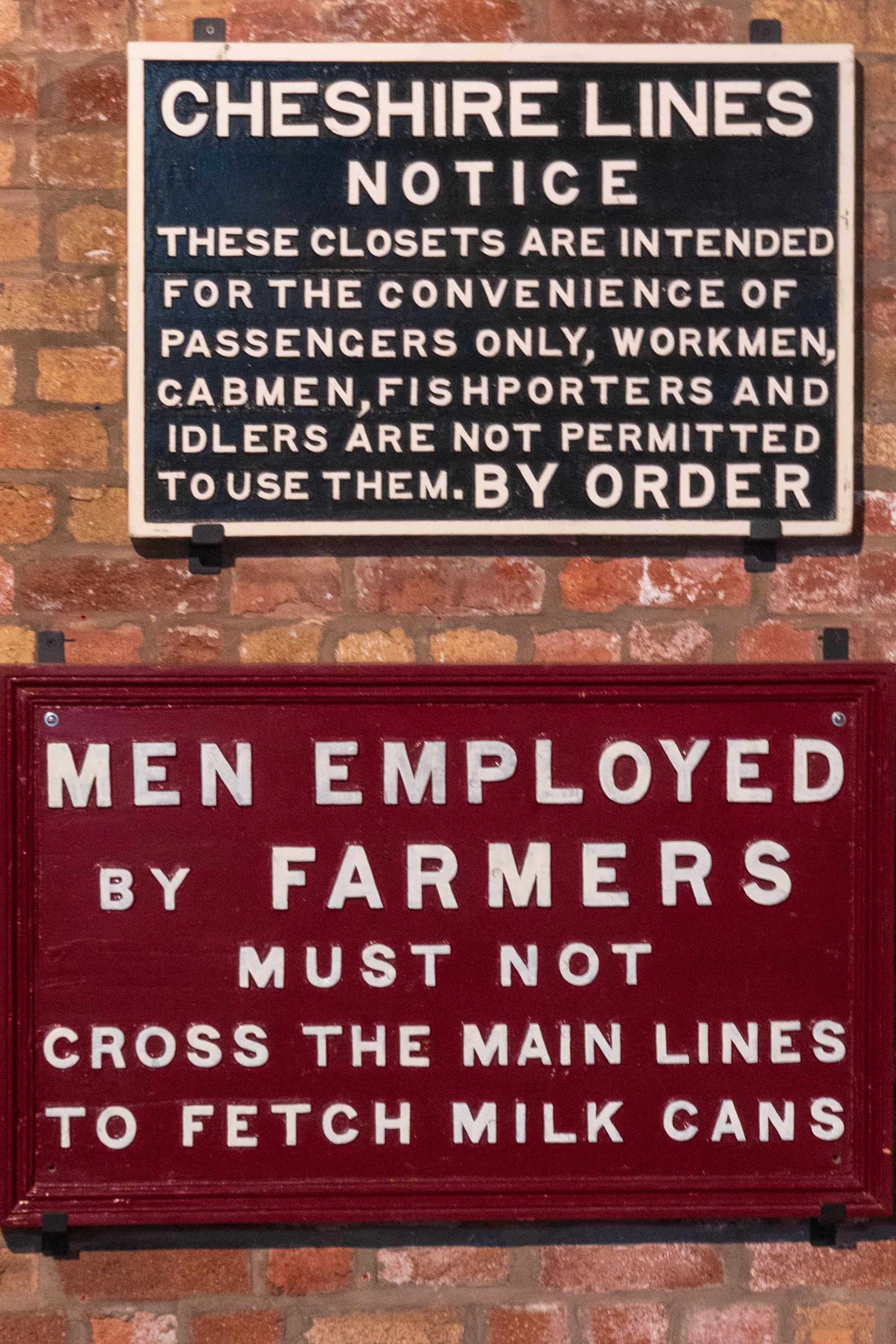
OK, so fish porters just have to hold it? And then can milk maids cross the lines?
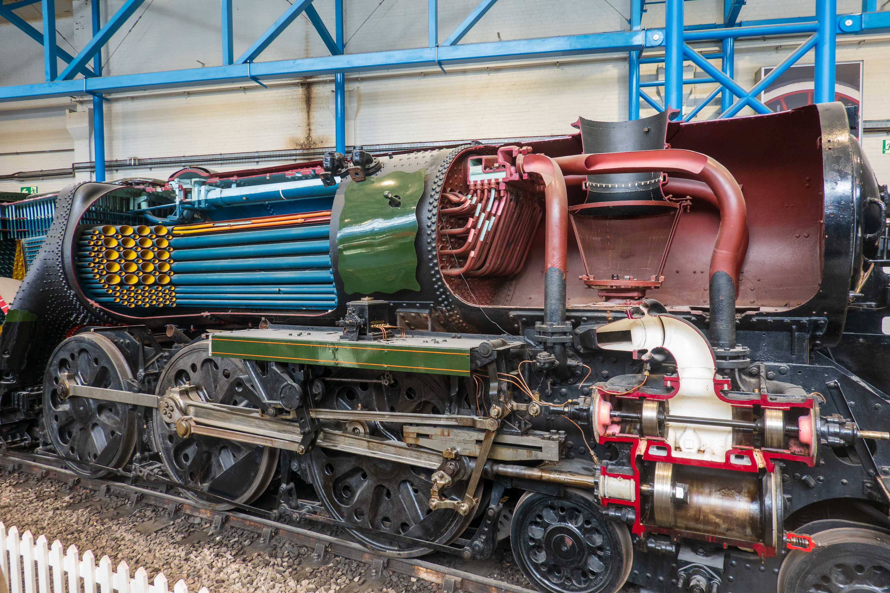
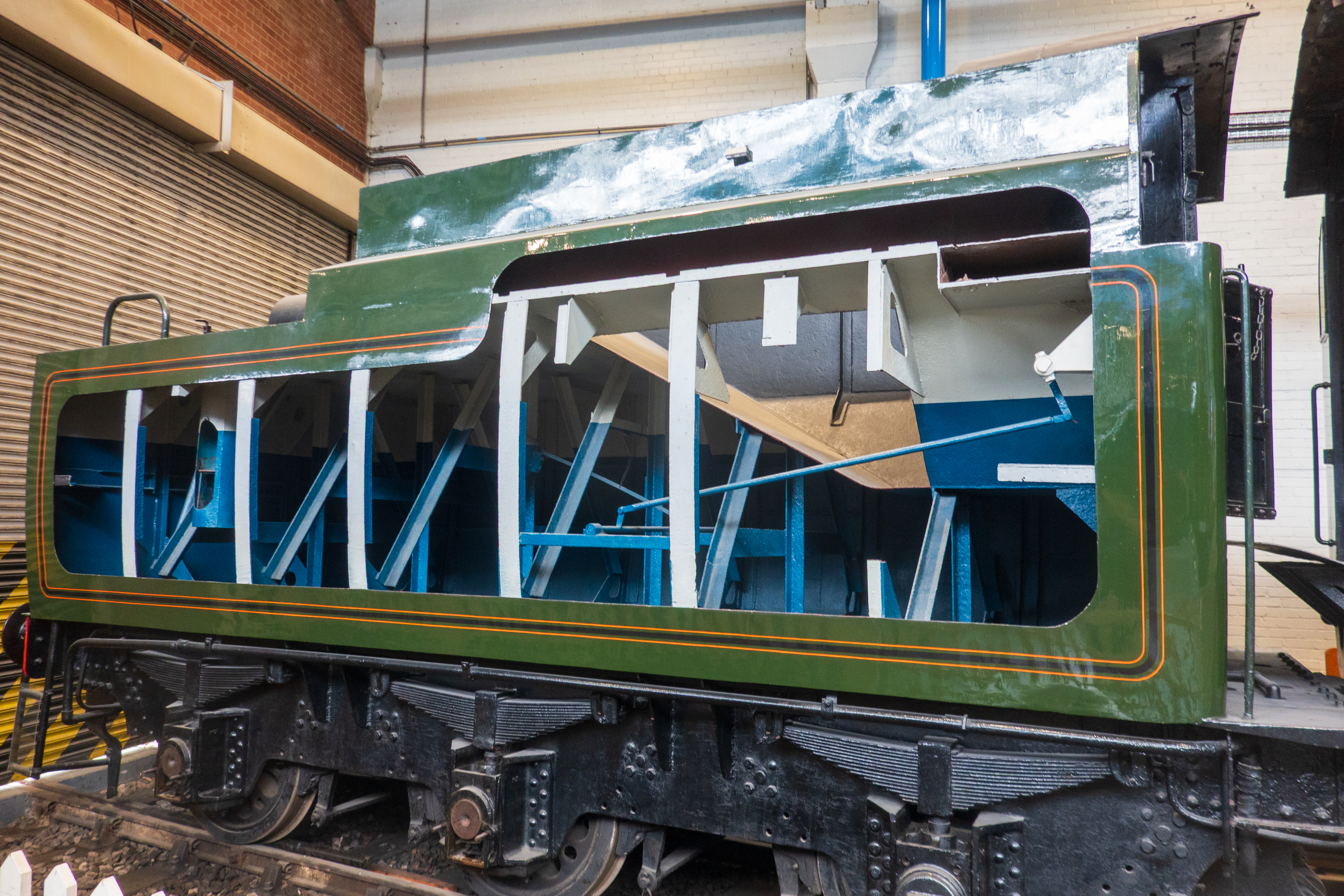
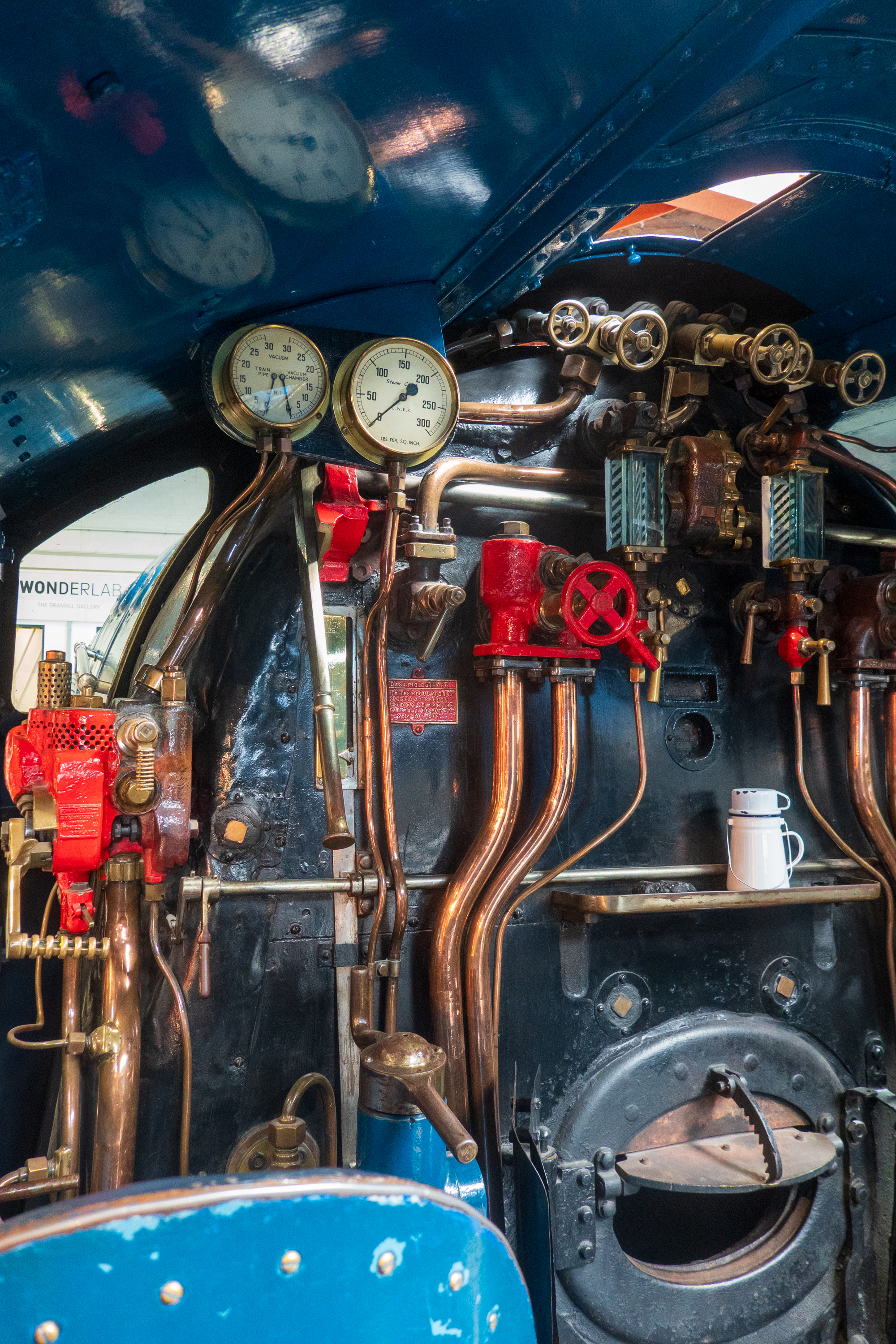
If you ever wondered how a steam engine and tender worked, this should help.
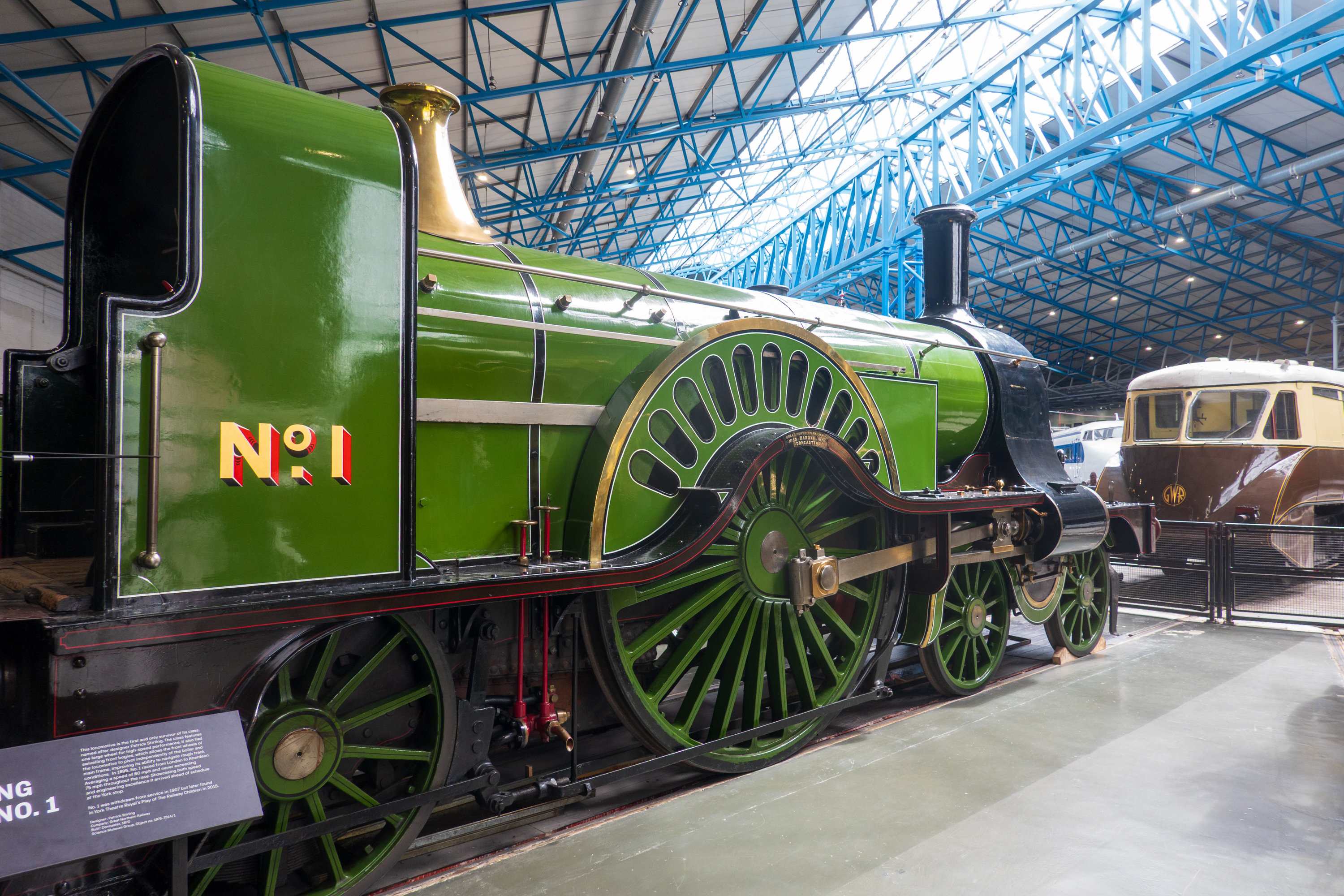
British engines were often much more imaginative than US engines. This huge driving wheel allowed for great speed. But the engines were known as “spinners” as all that torque fed into one wheel could produce massive wheel slip.
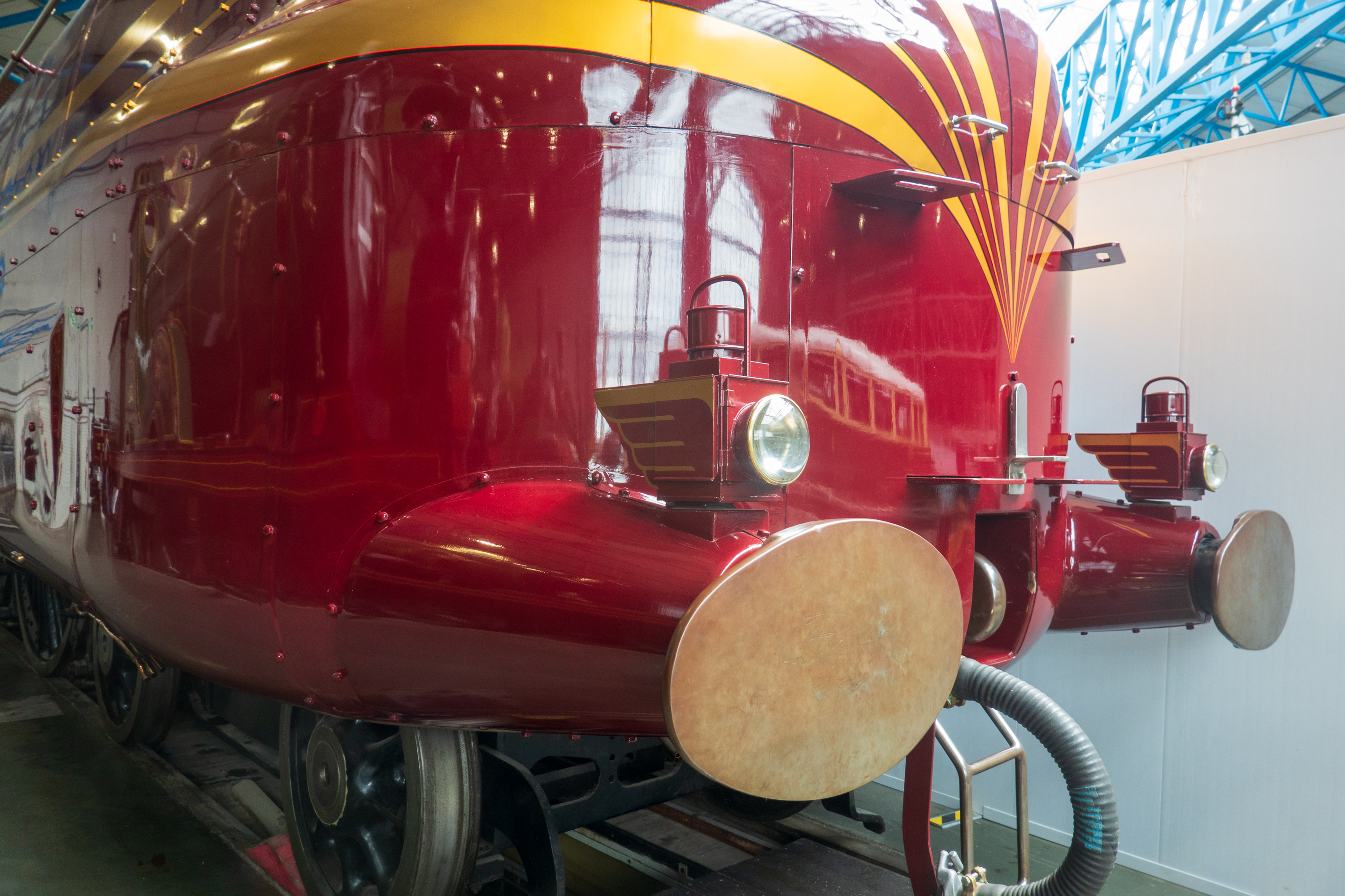
As a child, Fred was always fascinated that many British engines did not have headlights. (They ran on closed tracks and, even if you saw something, you could never stop in time. Also, the huge buffers were very different from US knuckle couplers.
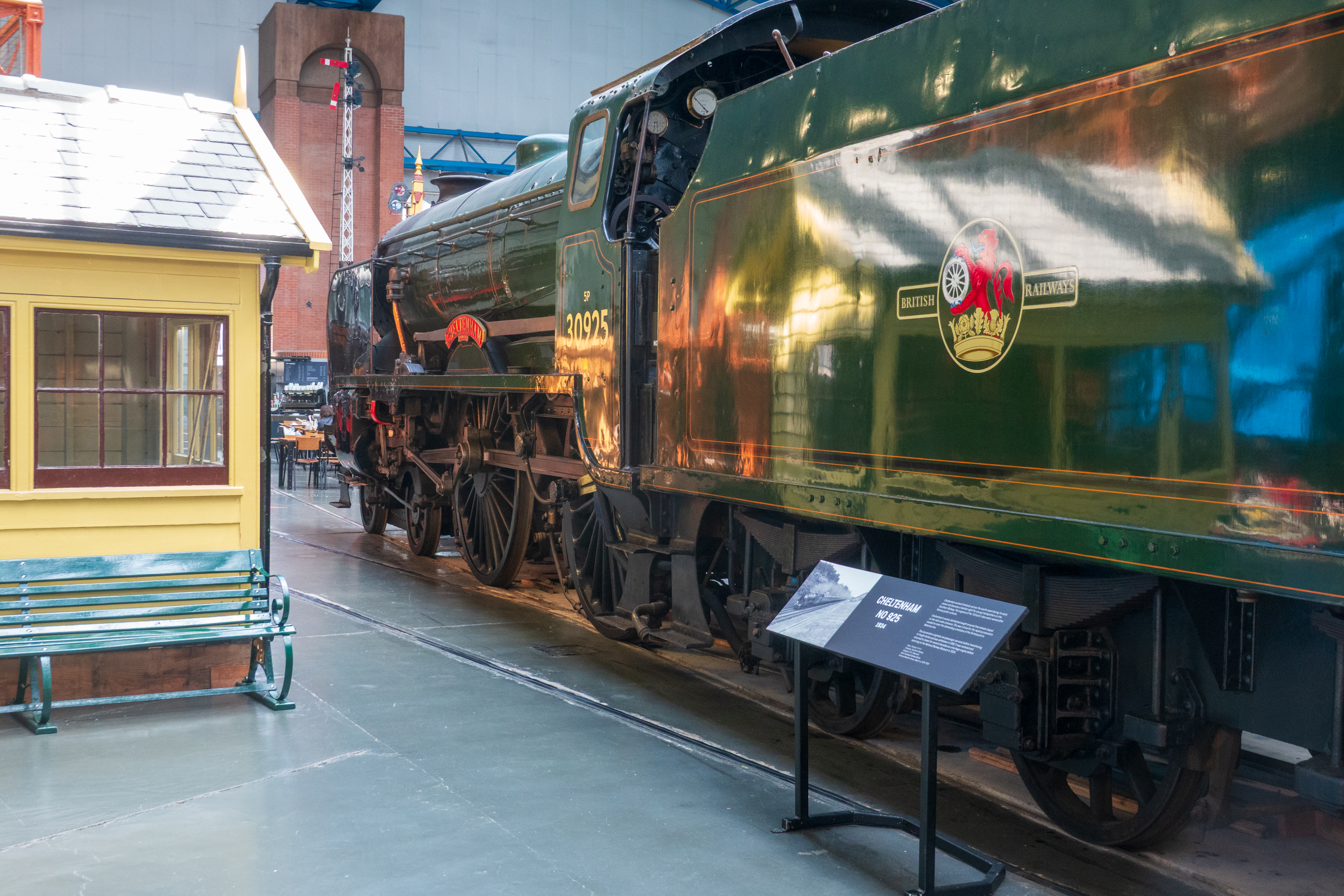
Denise remembers watching one of the last of these “School” class engines blast out of Portsmouth en route to London.
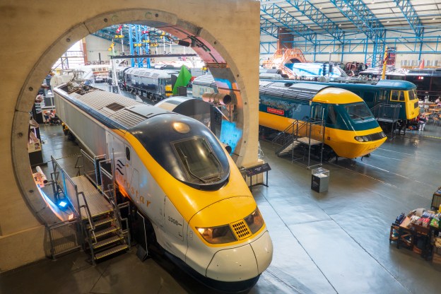
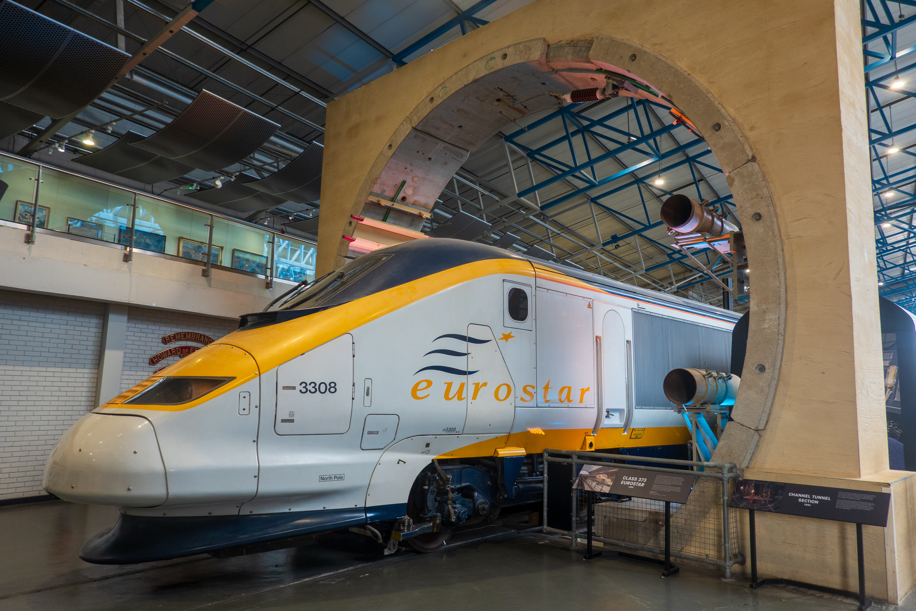
Eurostar posed under a replica Channel tunnel section. We have taken both the Eurostar passenger train and the Le Shuttle vehicle train through the Channel tunnel.
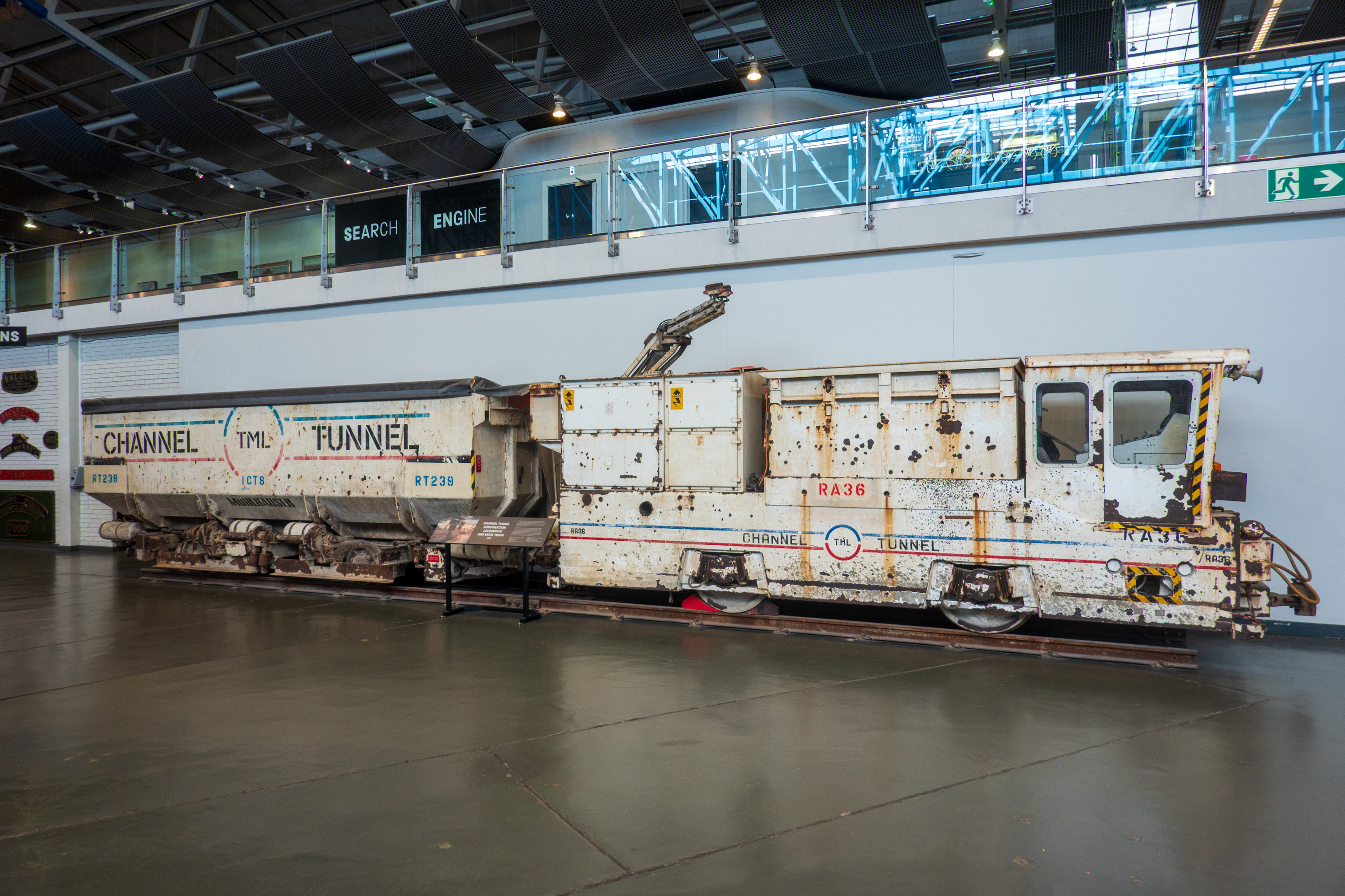
Rather more pedestrian construction train.
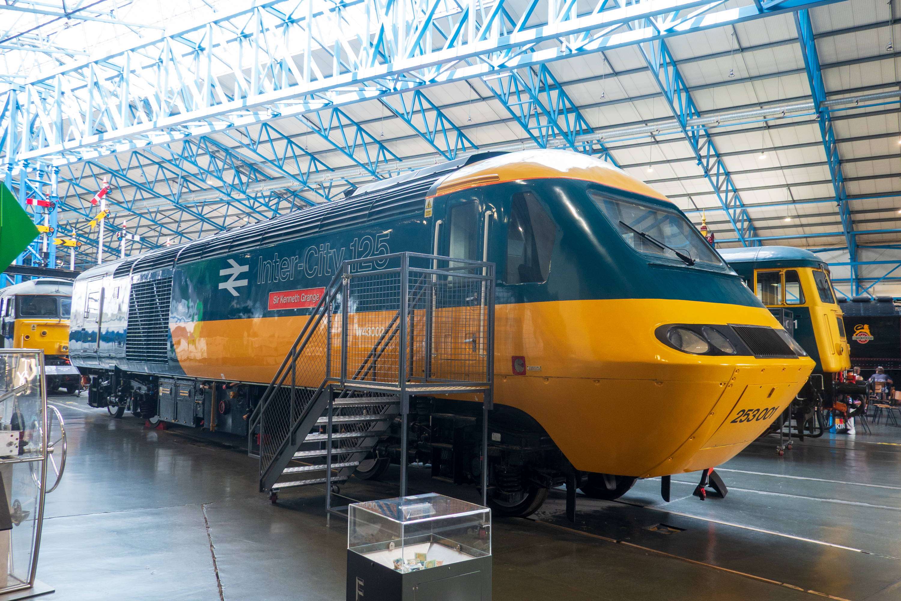
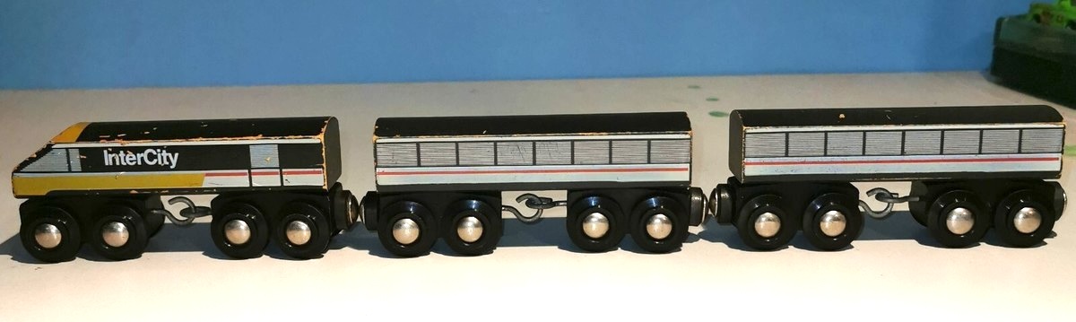
The Intercity 125 was one of Britain’s first high speed trains. Our son, Trevor had one in his Brio train set. Don’t think any of us ever rode one, but we did play with the toy.
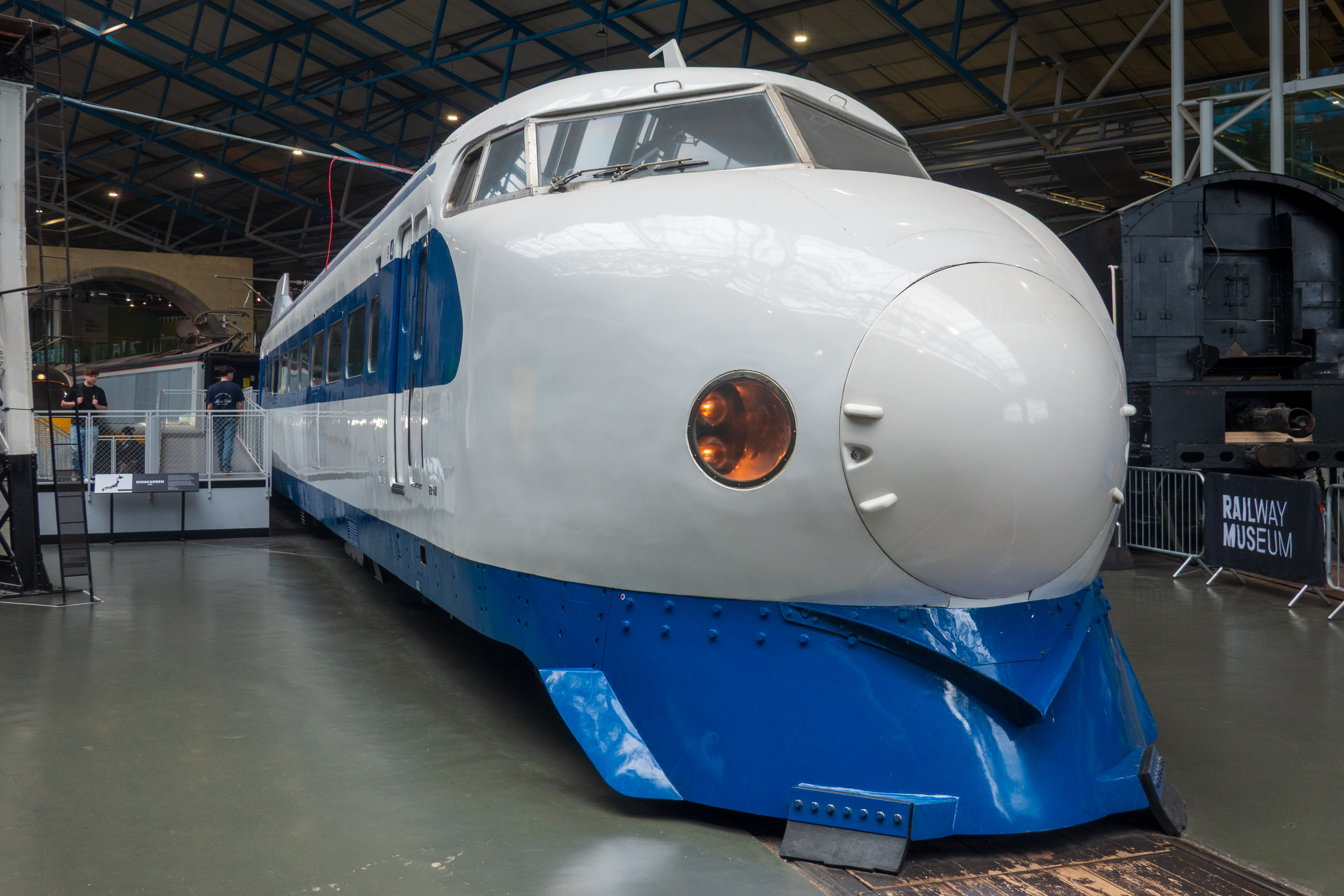
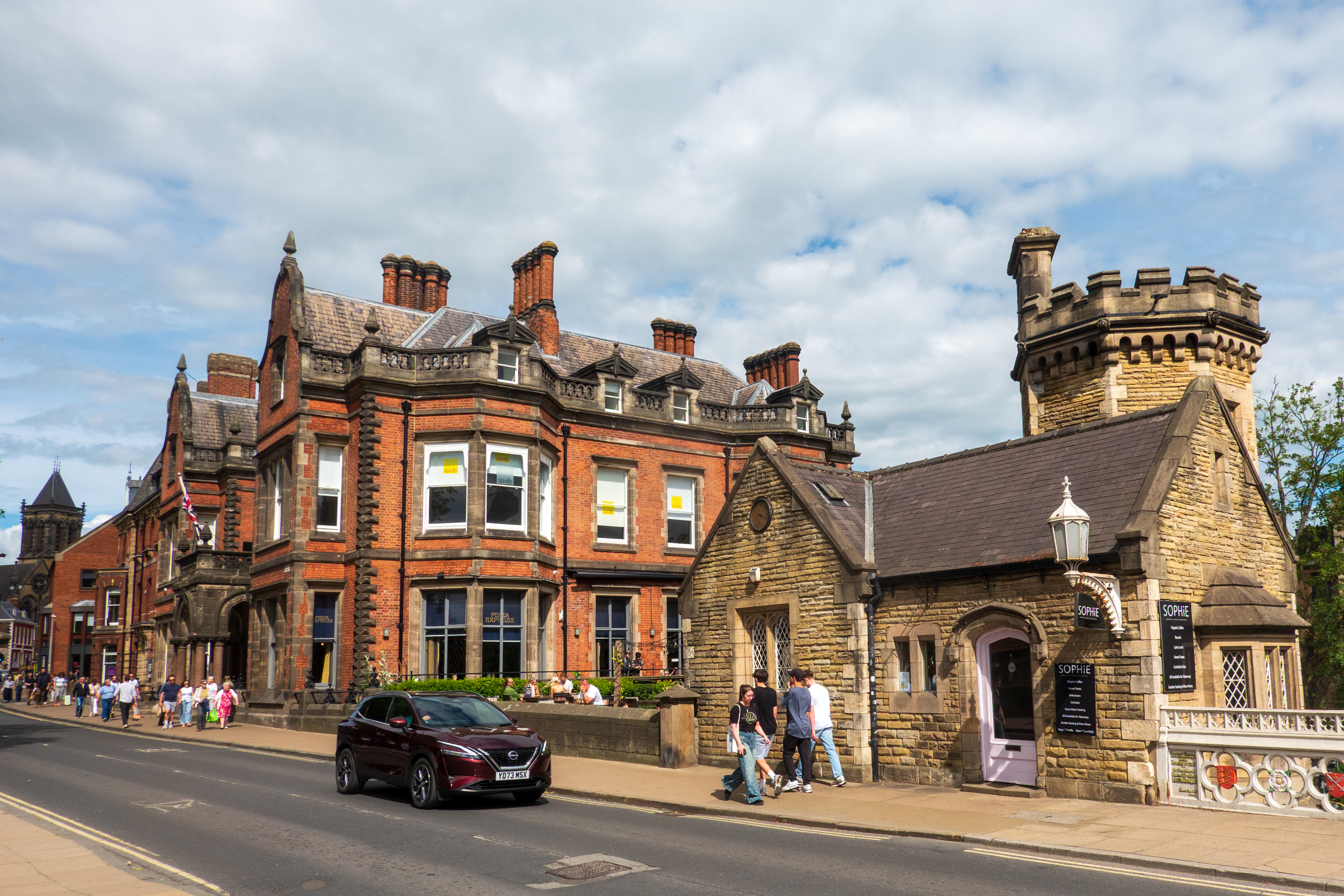
You can walk though this early Japanese Bullet train.Walking back, Fred admired a coffee house in the old bridge house. And behind it a pizzeria. Never seen a Pizza Hut with marble columns like this!
Back to the train station for our next train ride, with only one change this time, to Cambridge. We were stopping here for a visit to Duxford Air Field with its huge number of airplanes, including Spitfires, and various displays of its role in World War II. (https://en.wikipedia.org/wiki/Duxford_Aerodrome)
We took a taxi to Duxford, as it is about 10 miles from Cambridge. We had an excellent visit and were able to walk through several interesting airplanes, including the Concorde.
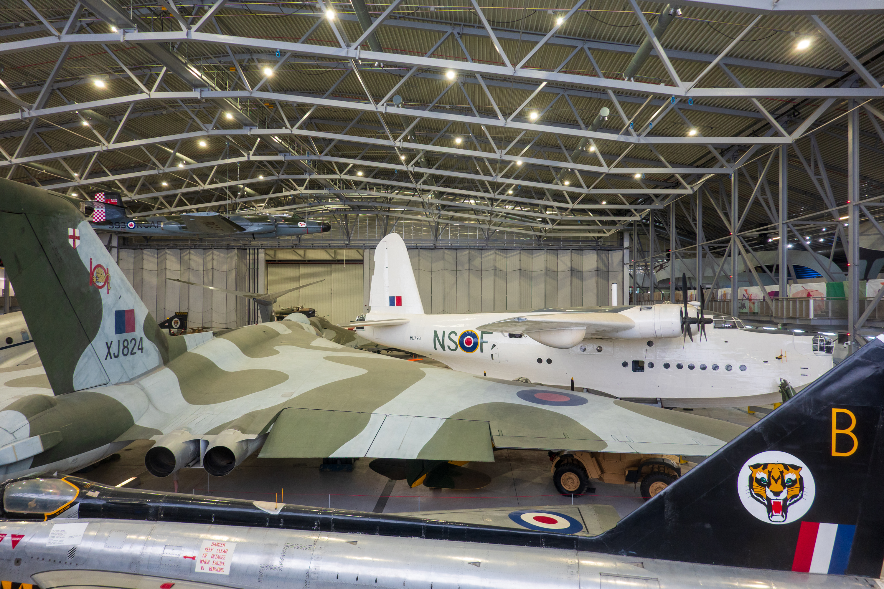
Some BIG birds on display. Lot of shade under those delta wings.
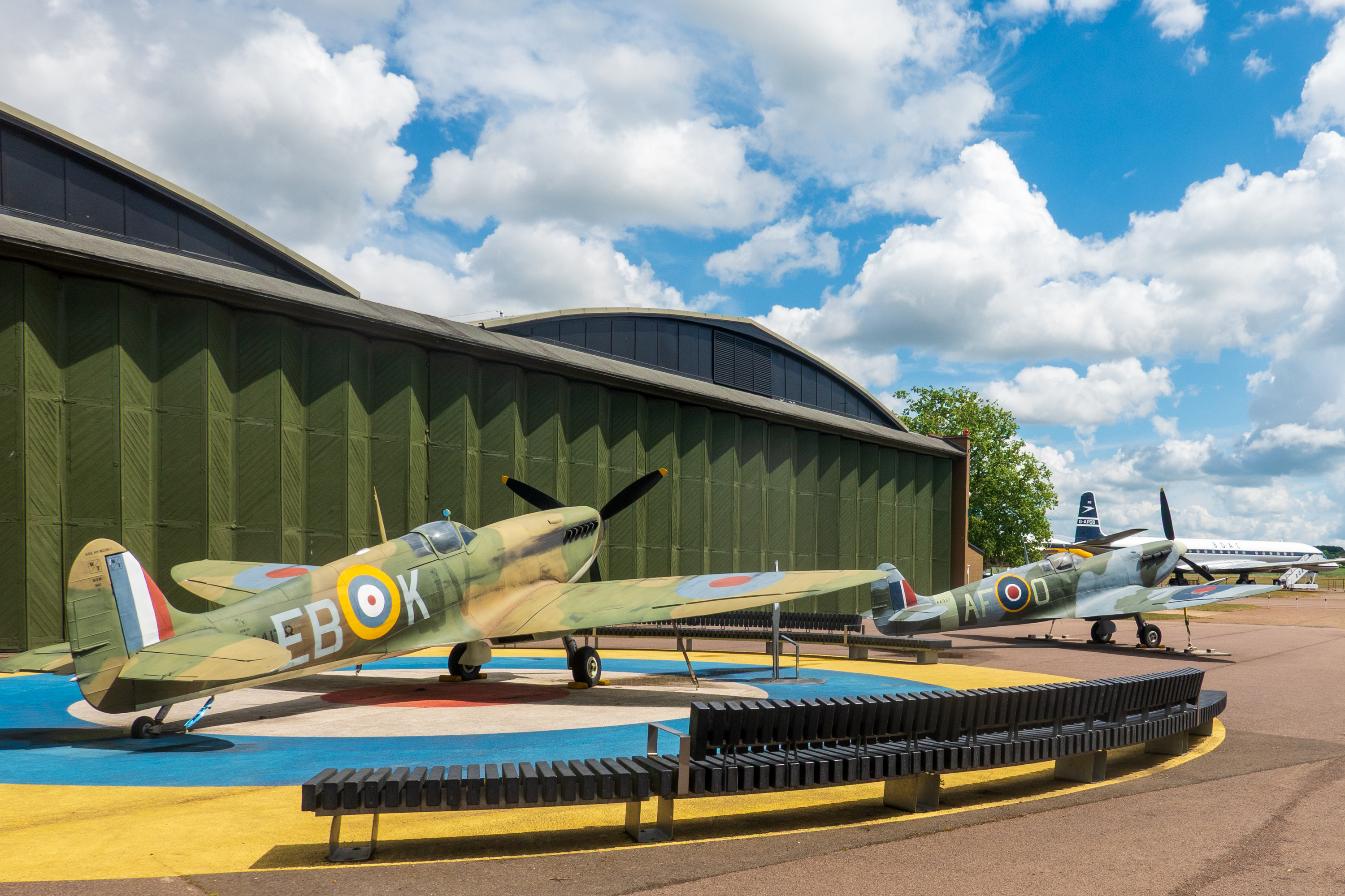
Obligatory Spitfires on display. (For bonus points, can you tell a Spitfire from a Hurricane?)
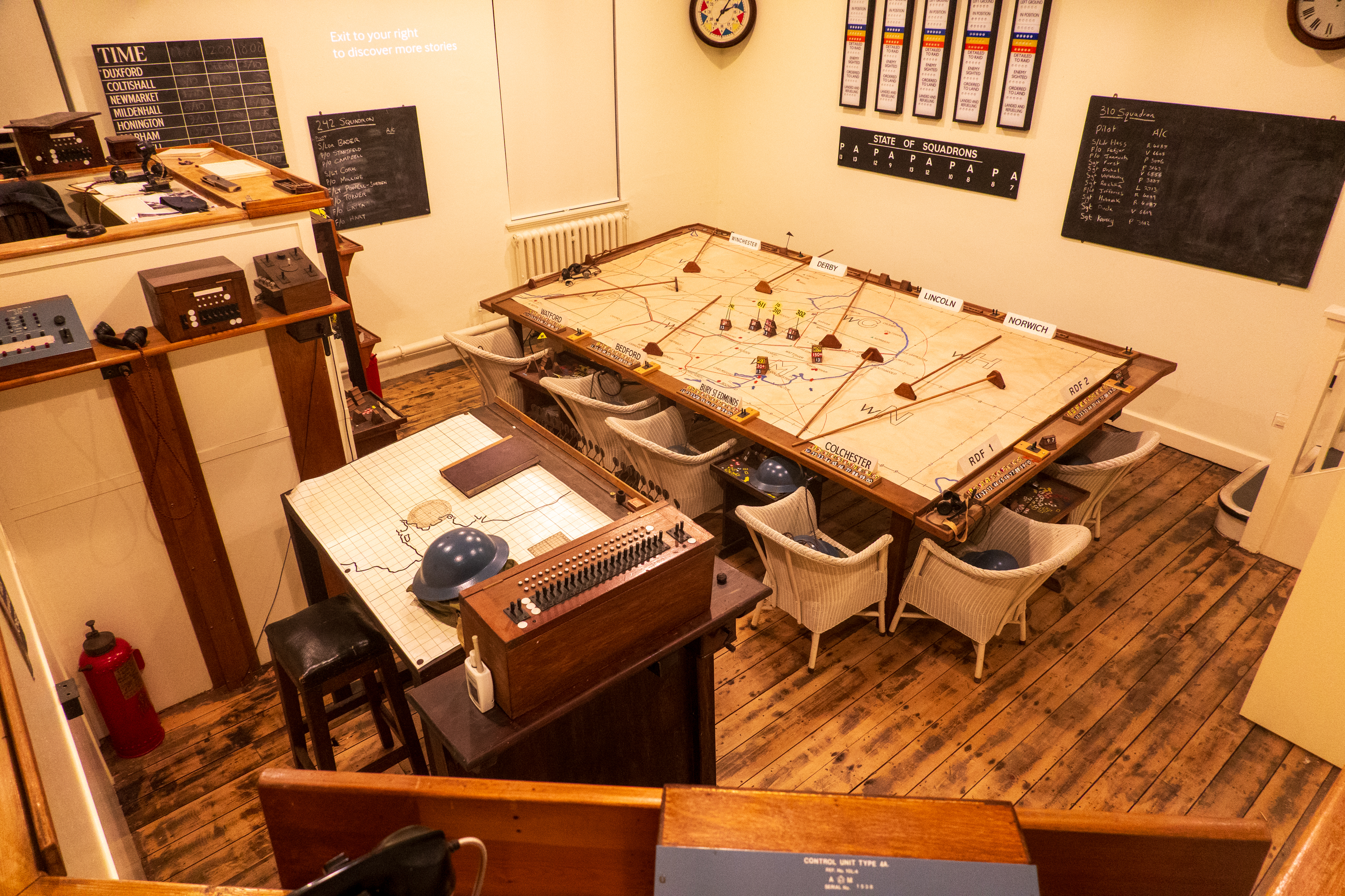
Plotting room. We still do the same thing, albeit mostly with computer displays.
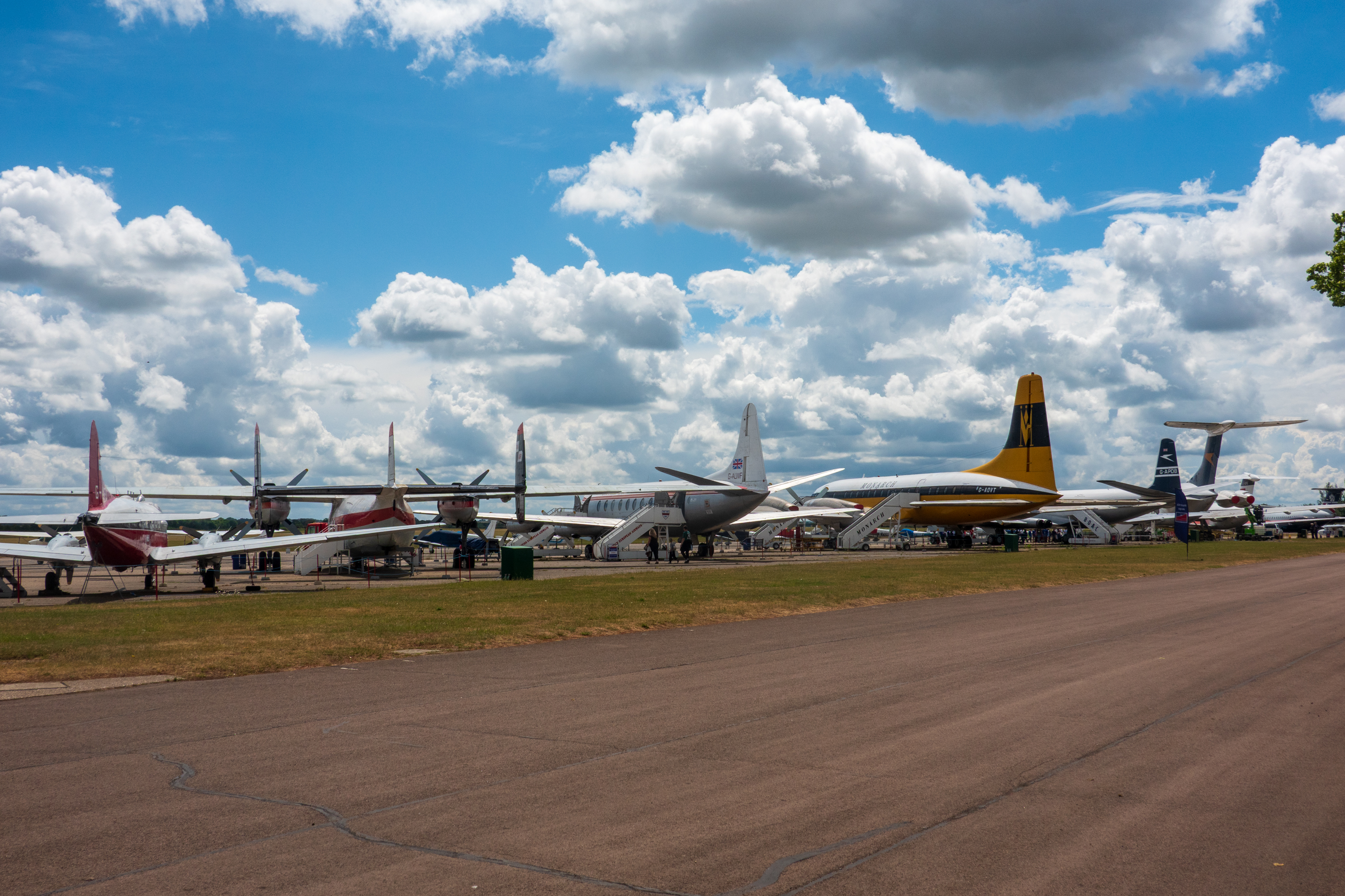
Duxford is an interesting counterpoint to the Smithsonian, as it focusses on British aircraft. Fred especially enjoyed revisiting planes that we had both flown as children, like the Vickers Viscount, as well as others, like the Bristol Britannia, that we had not.
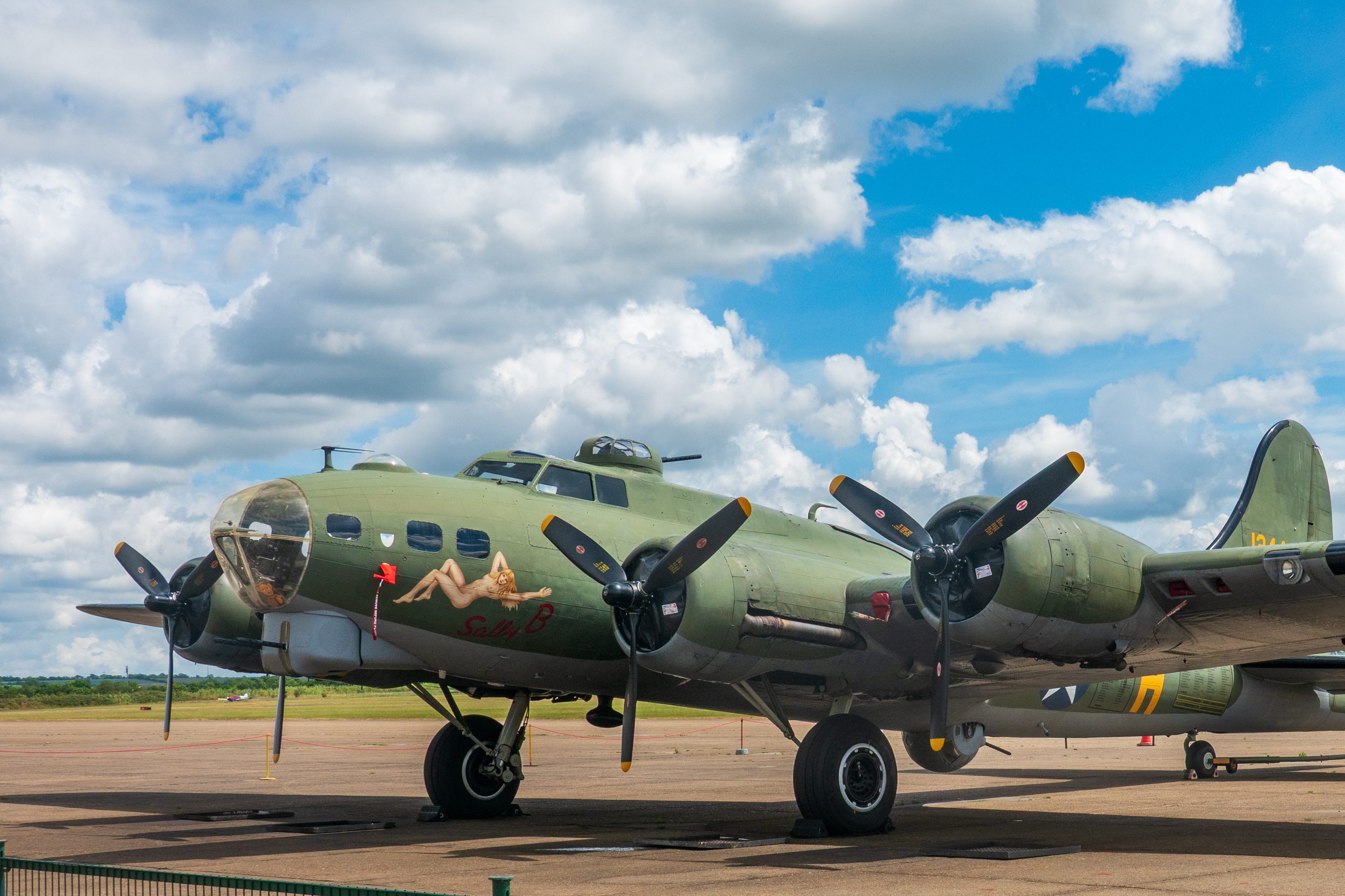
Viscount, Britannia, Vanguard (?), VC-10Everybody’s favorite, the B-17. This one can still fly. (Fred and Trevor rode in a B-17 in New York State years ago. Amazing experience!)
Scholars will note that the B-24 flew more missions and carried more bombs further and faster. (You have to go inside the American Pavilion to admire a B-24.)
There is a large “American Pavilion” which makes a real effort to tie into the TV series, “Masters of the Air.”.
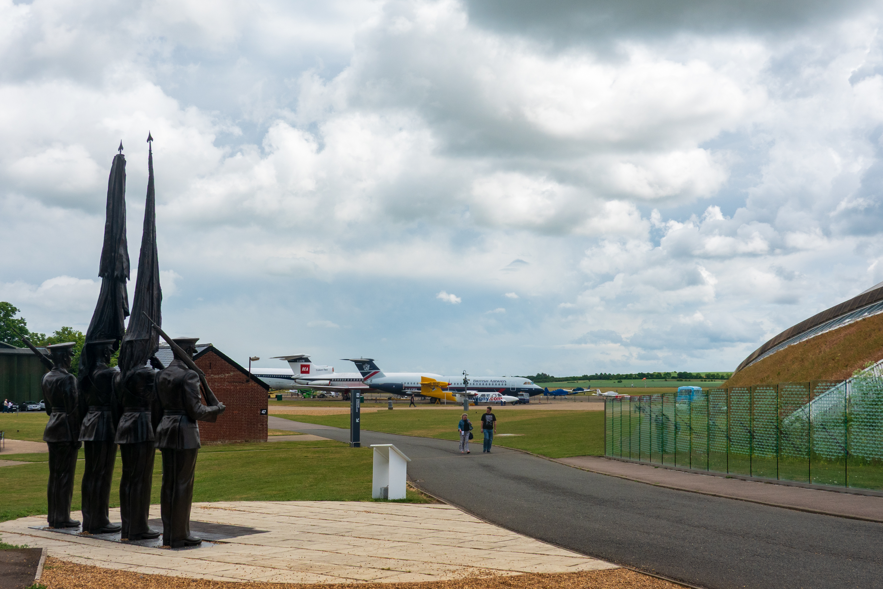
A bronze honor guard faces the wall of remembrance of fallen aircraft and their crews.
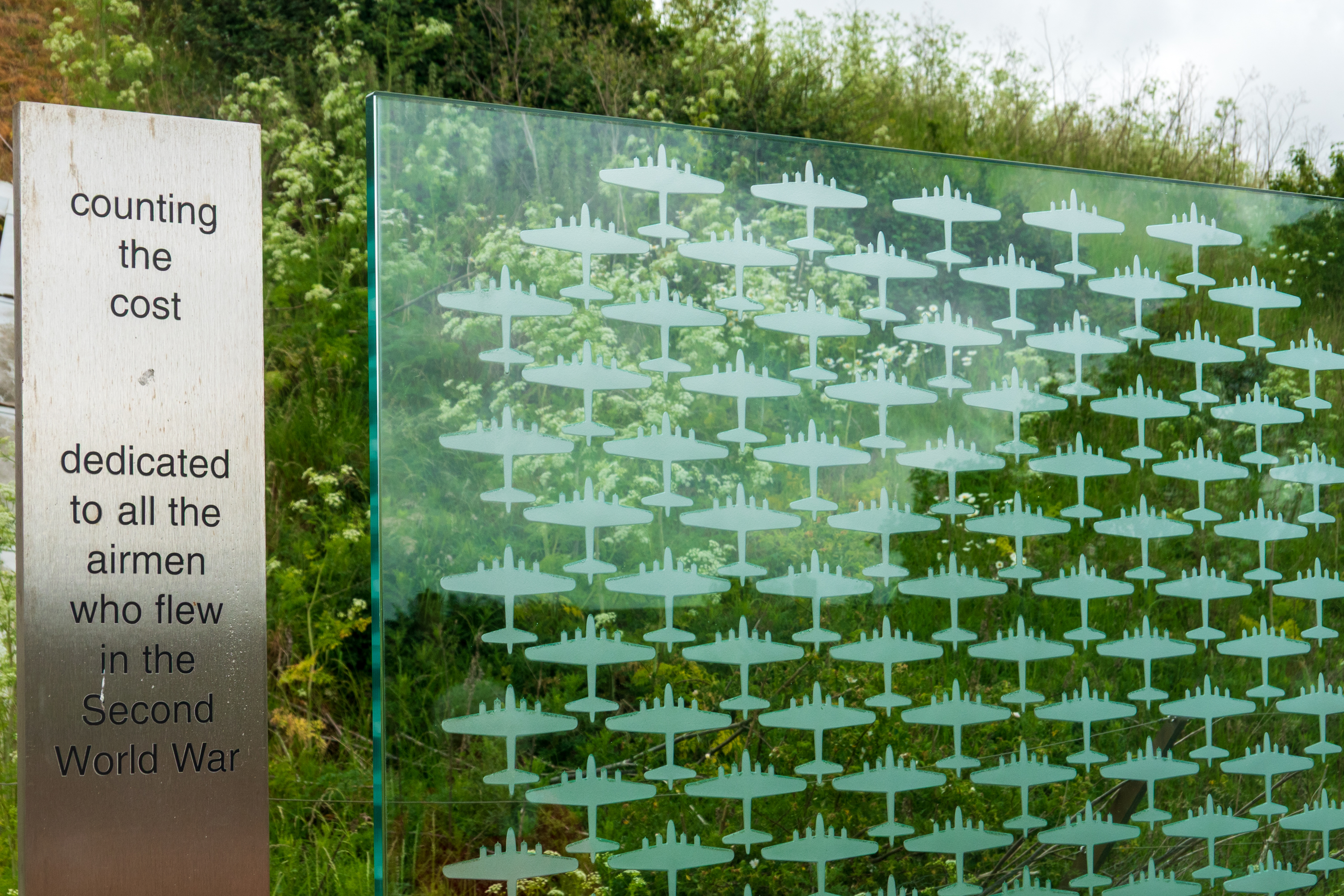
One silhouette for each plane lost.
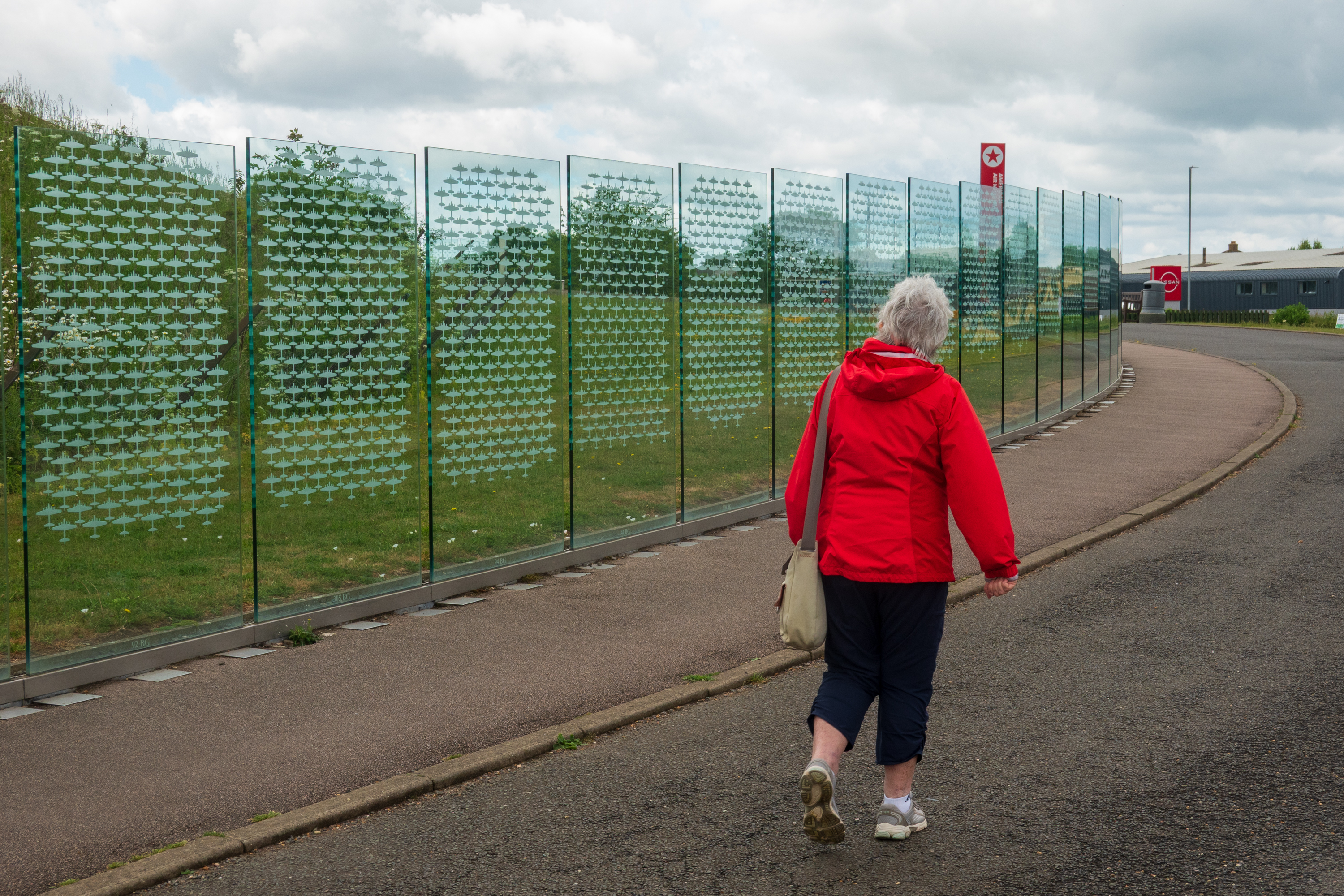
Denise makes the somber walk the length of the memorial.
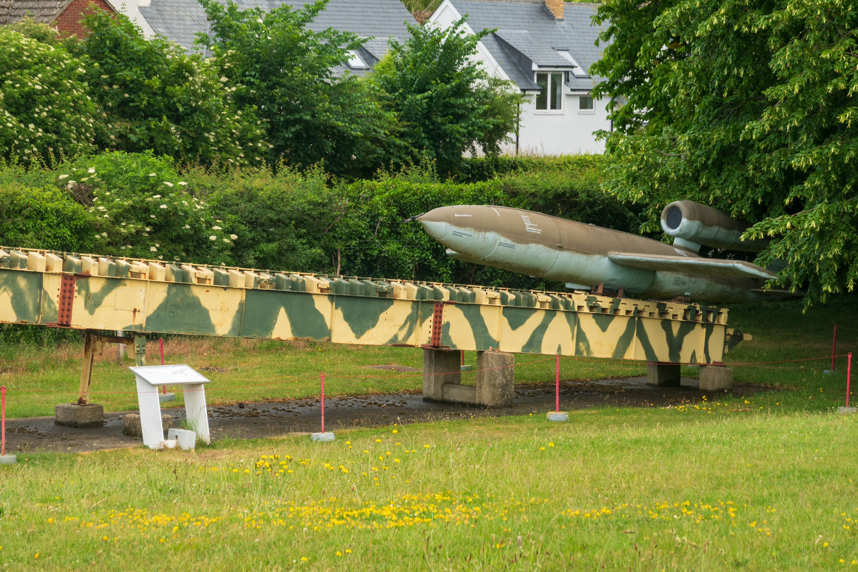
Lurking in the trees, a V-1 and its launching rail.
Of course, after the visit, we had to rewatch the 1969 movie “The Battle of Britain.” We remarked that many of the scenes looked just like Duxford. Turns that it was Duxford.
On our return to Cambridge the sun came out, so we wandered the town and viewed some of the colleges from the outside.
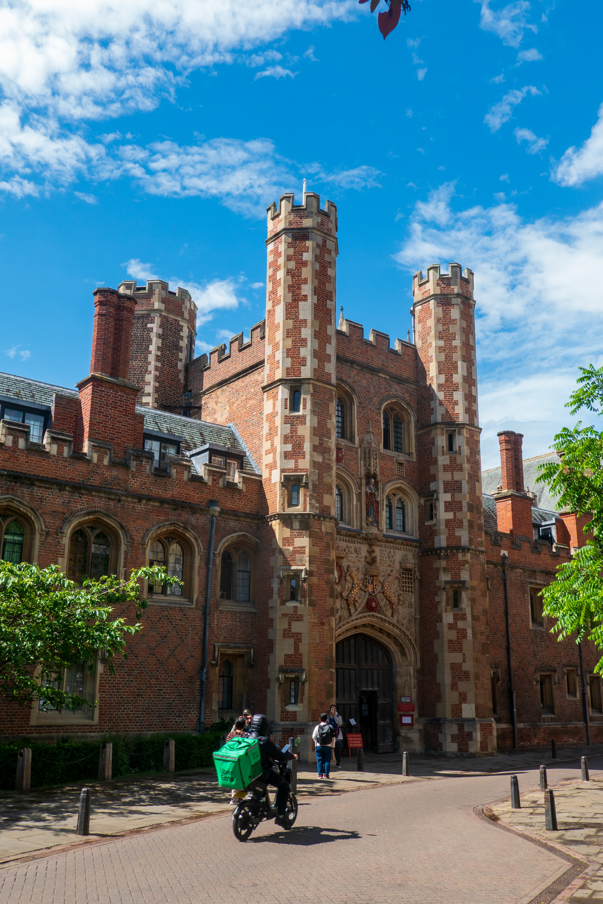
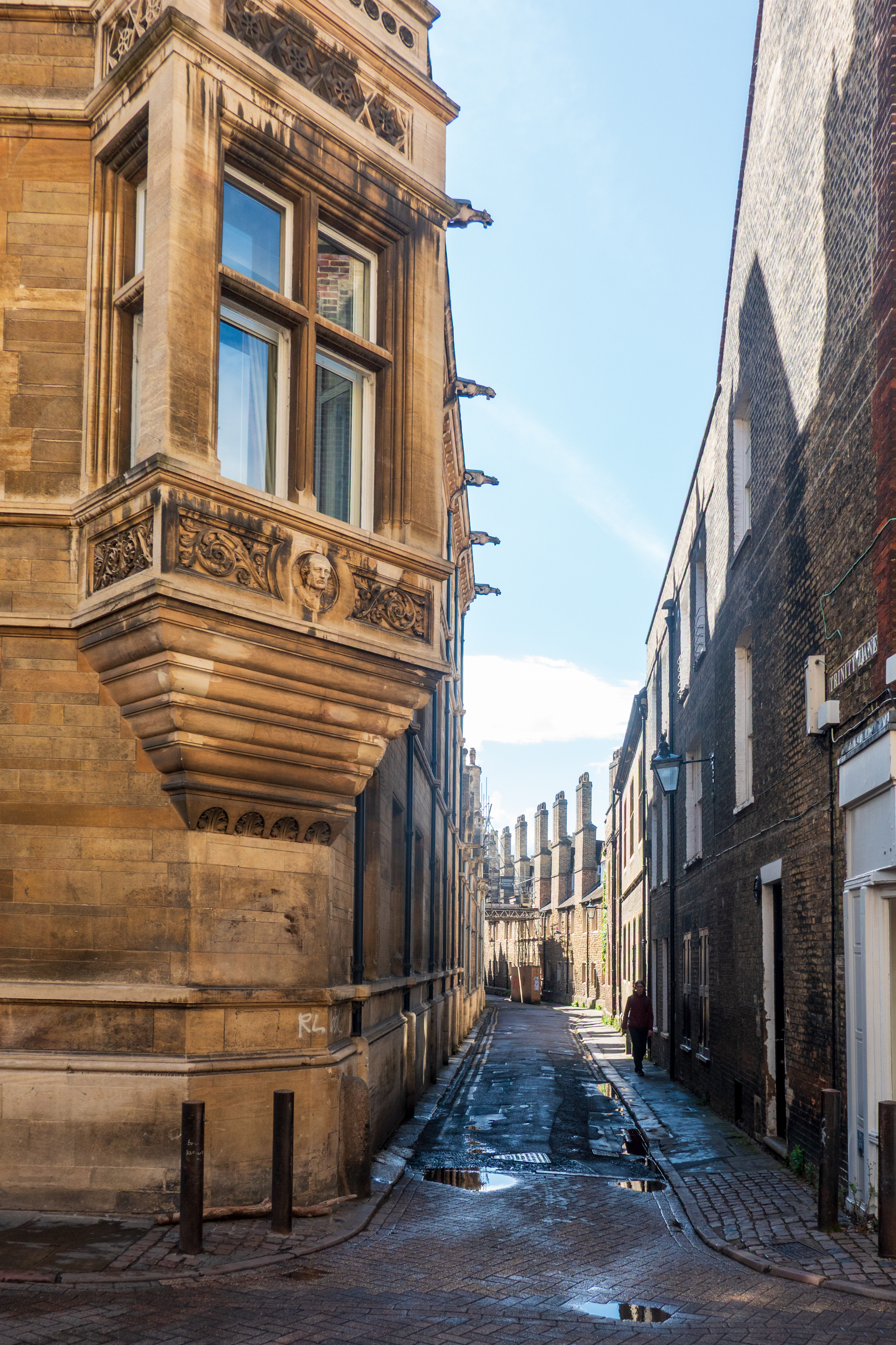
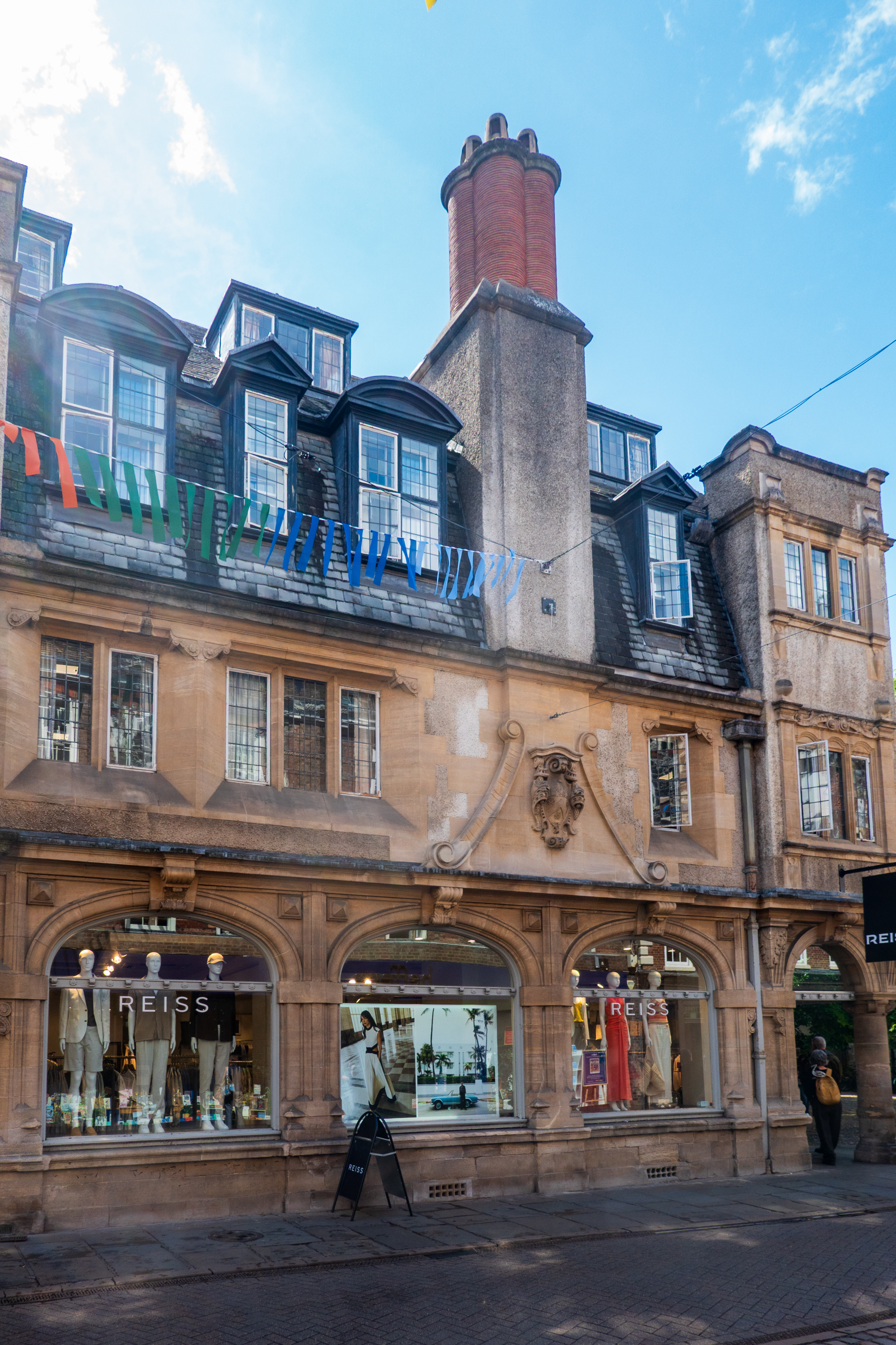
Closed to visitors but not Uber Eats.A very Dickensonian Steet. Count the chimneys.
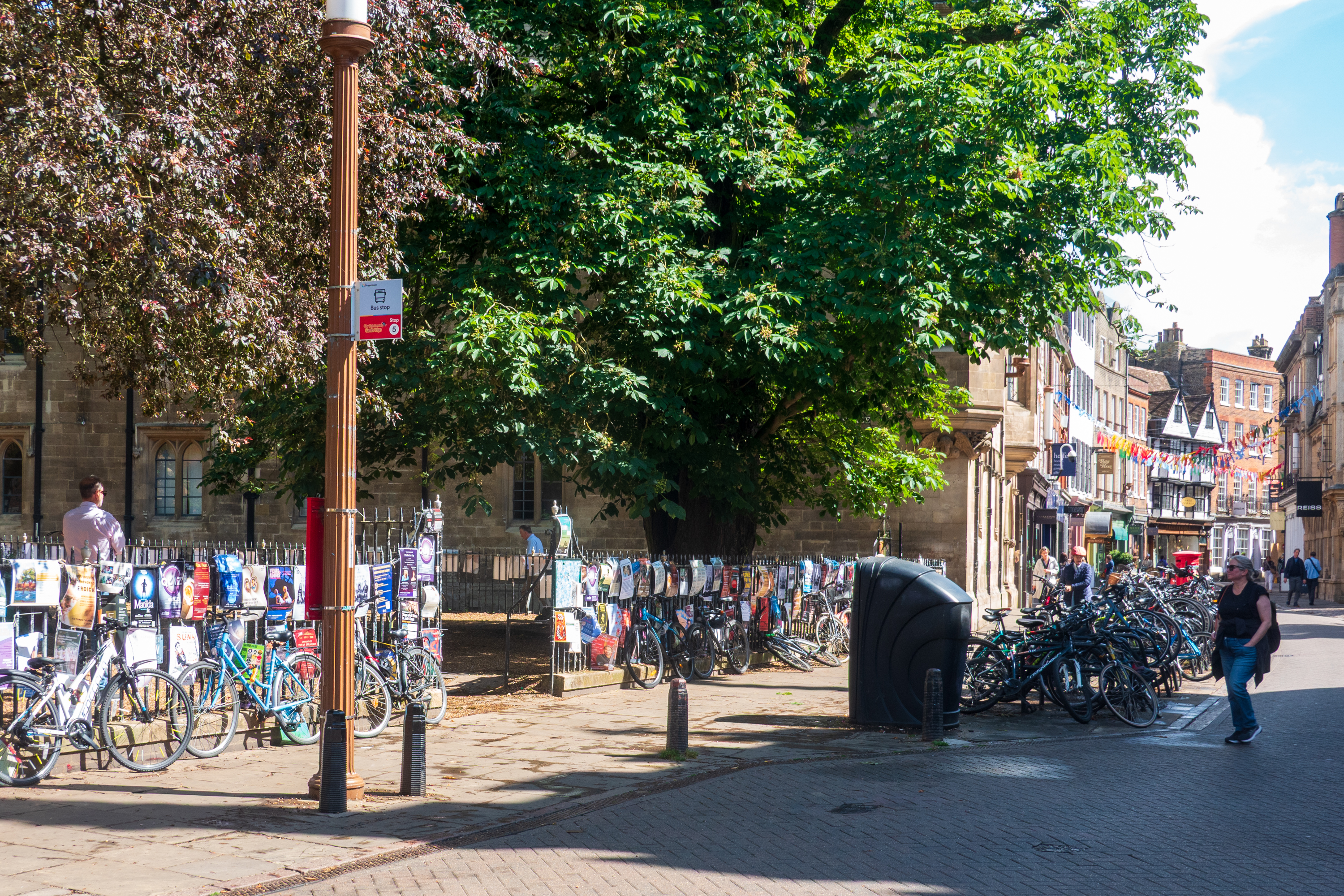
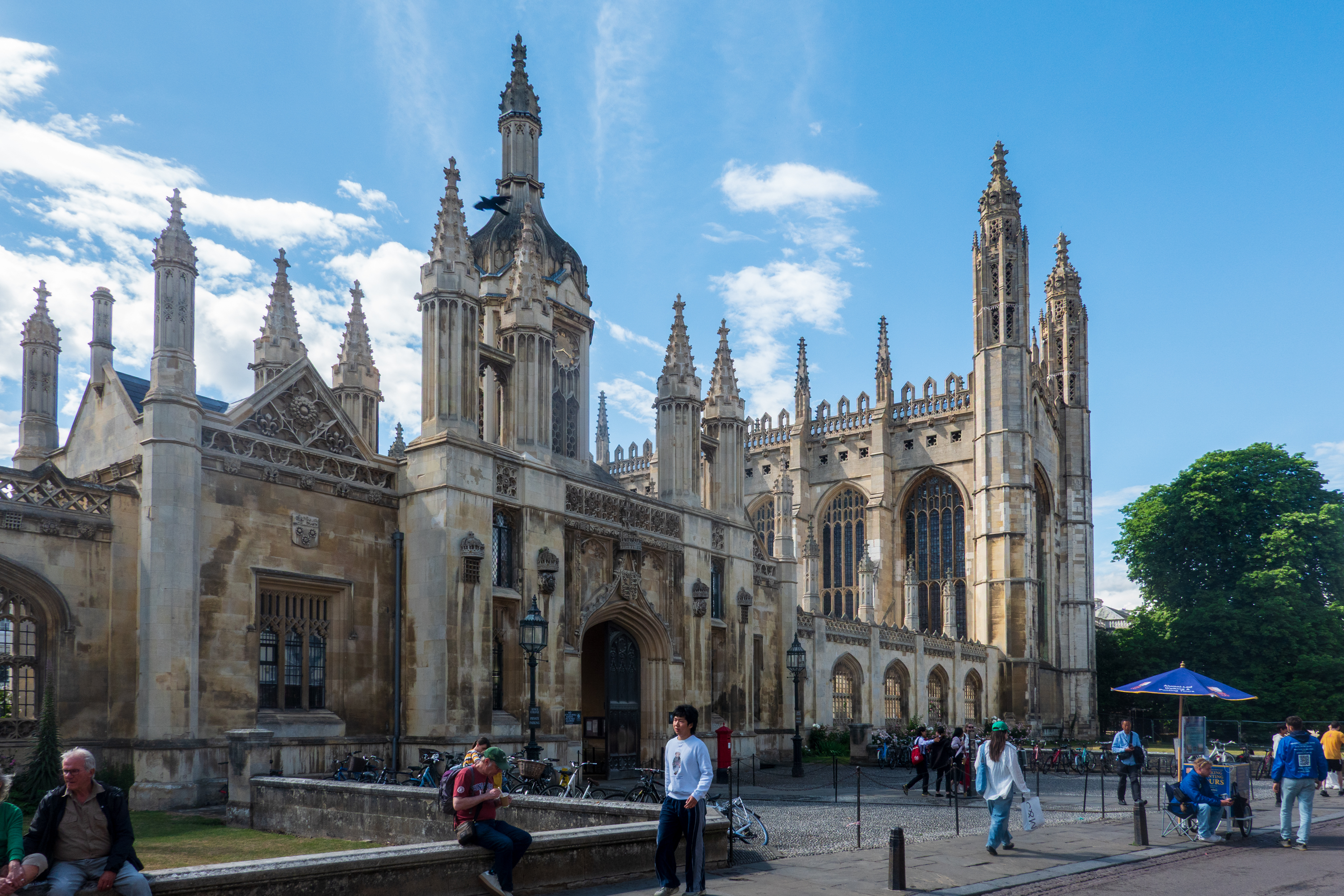
Lots of bicycles!King’s College, site of our favorite Christmas service of lessons and carols.
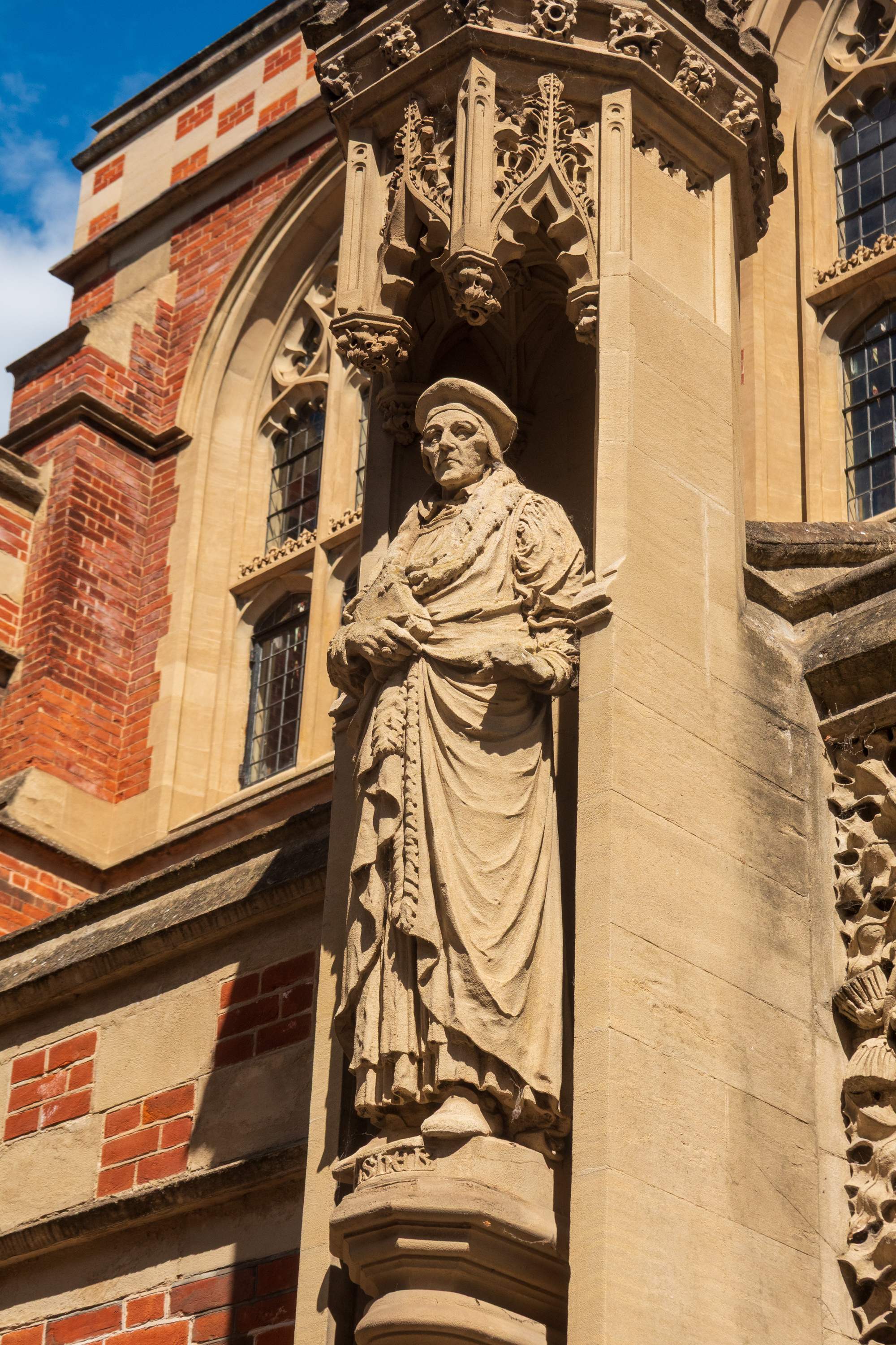
Can you imagine telling this guy that your dog ate your homework?Loved all of the different dormers.
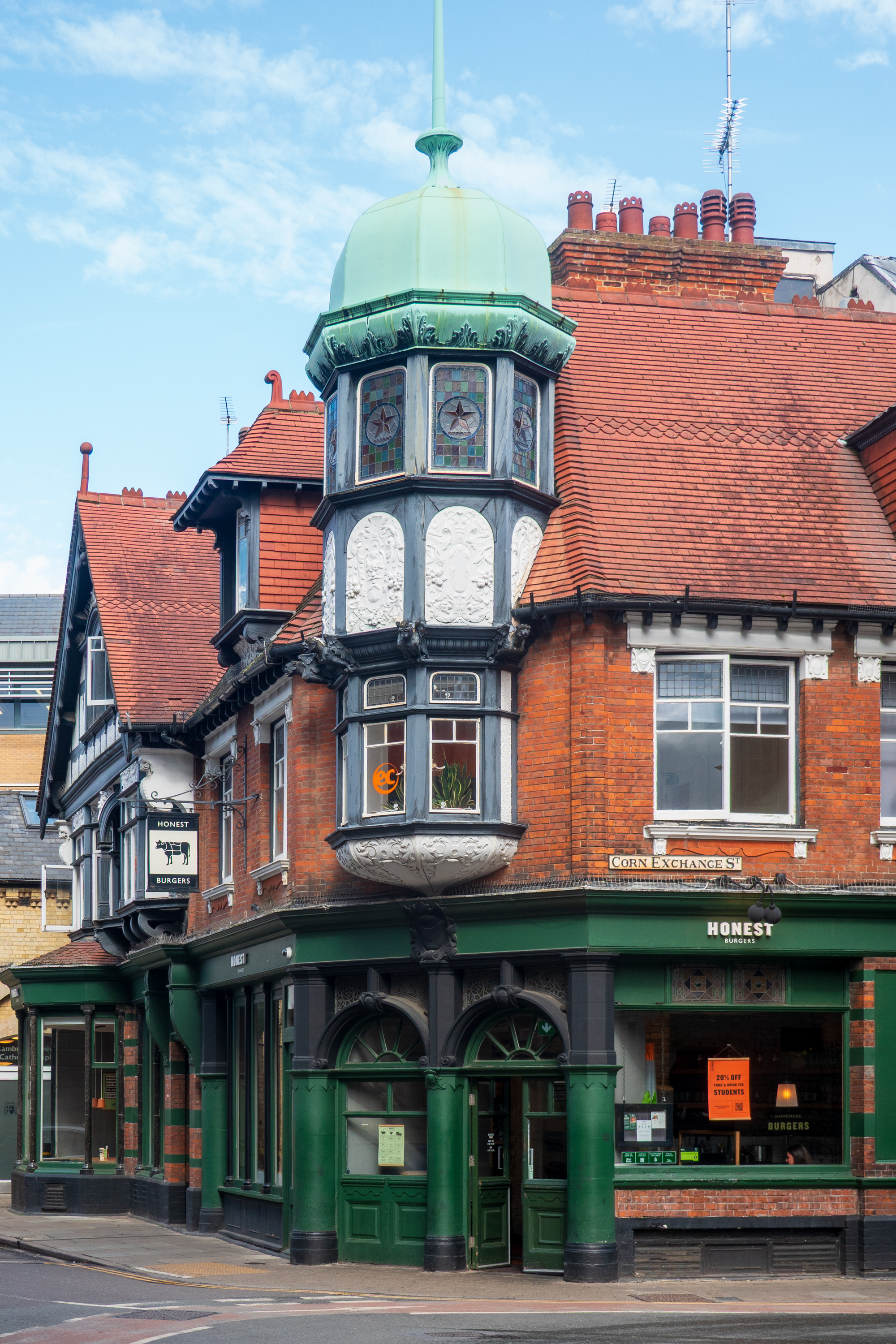
“Honest Burgers” Somehow, my local burger joint isn’t this cool.
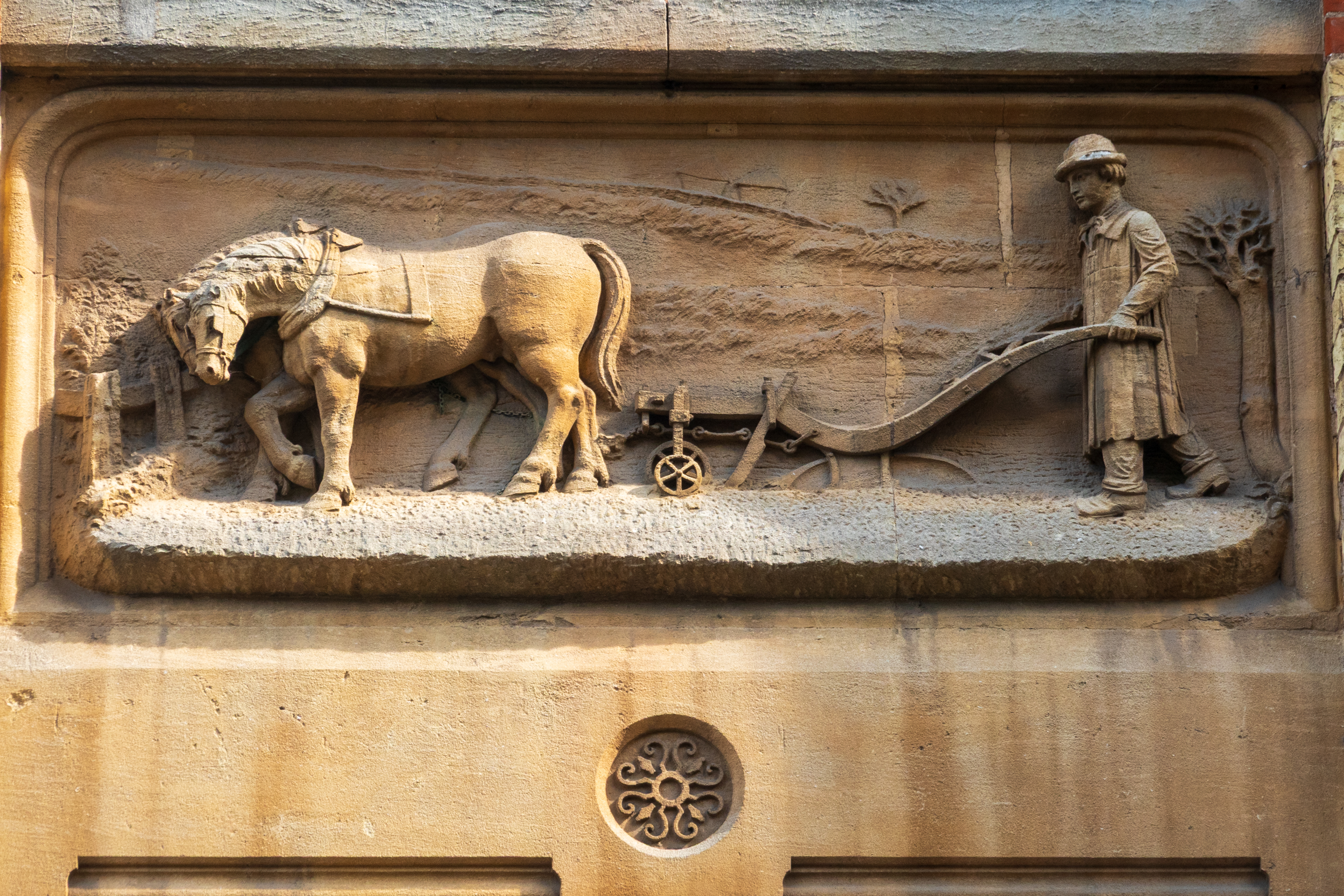
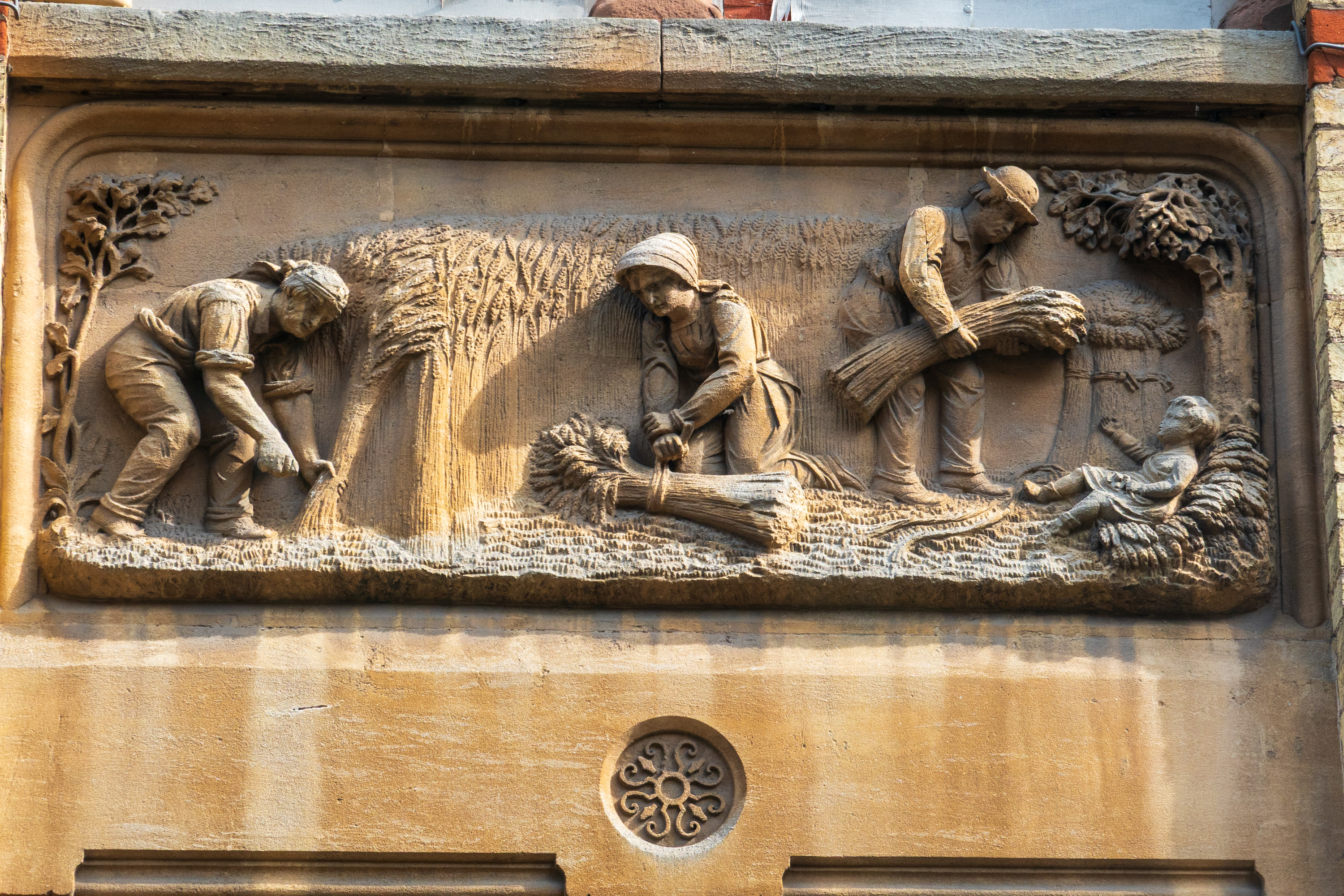
For reasons best known to themselves, the Brits call wheat “corn.” Beautiful carvings on the Corn Exchange, next to our hotel. For bonus points, what do they call corn? Post your answer in the “Comments.”
An Eye on London
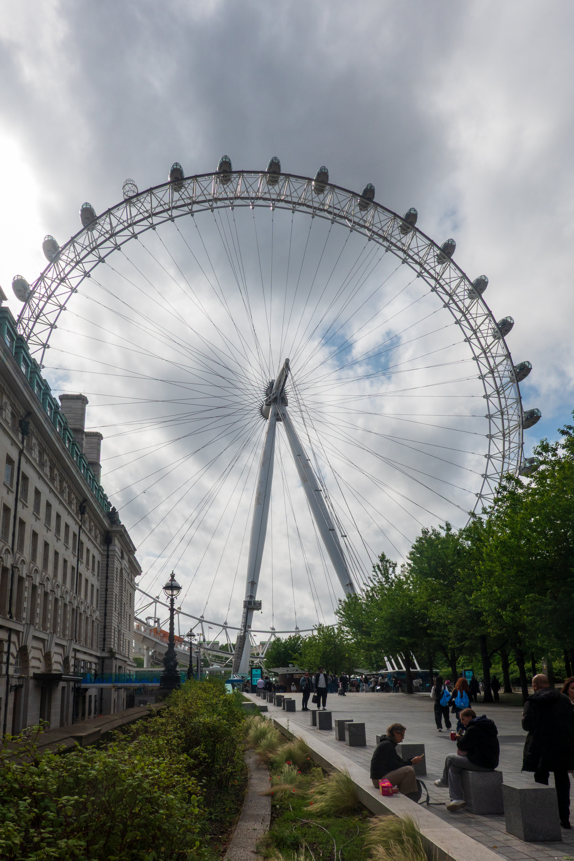
And then it was time to take the train to London. No train changes this time, but a taxi ride from the station to our hotel which was about two minutes walk from the London Eye. (https://en.wikipedia.org/wiki/London_Eye)
Hotel left, Eye center. And yes, it is big. Each car holds some thirty people.
This proved to be an inspired location as on our first day there, as the Tube was on strike! But we had booked a river cruise and the weather held.
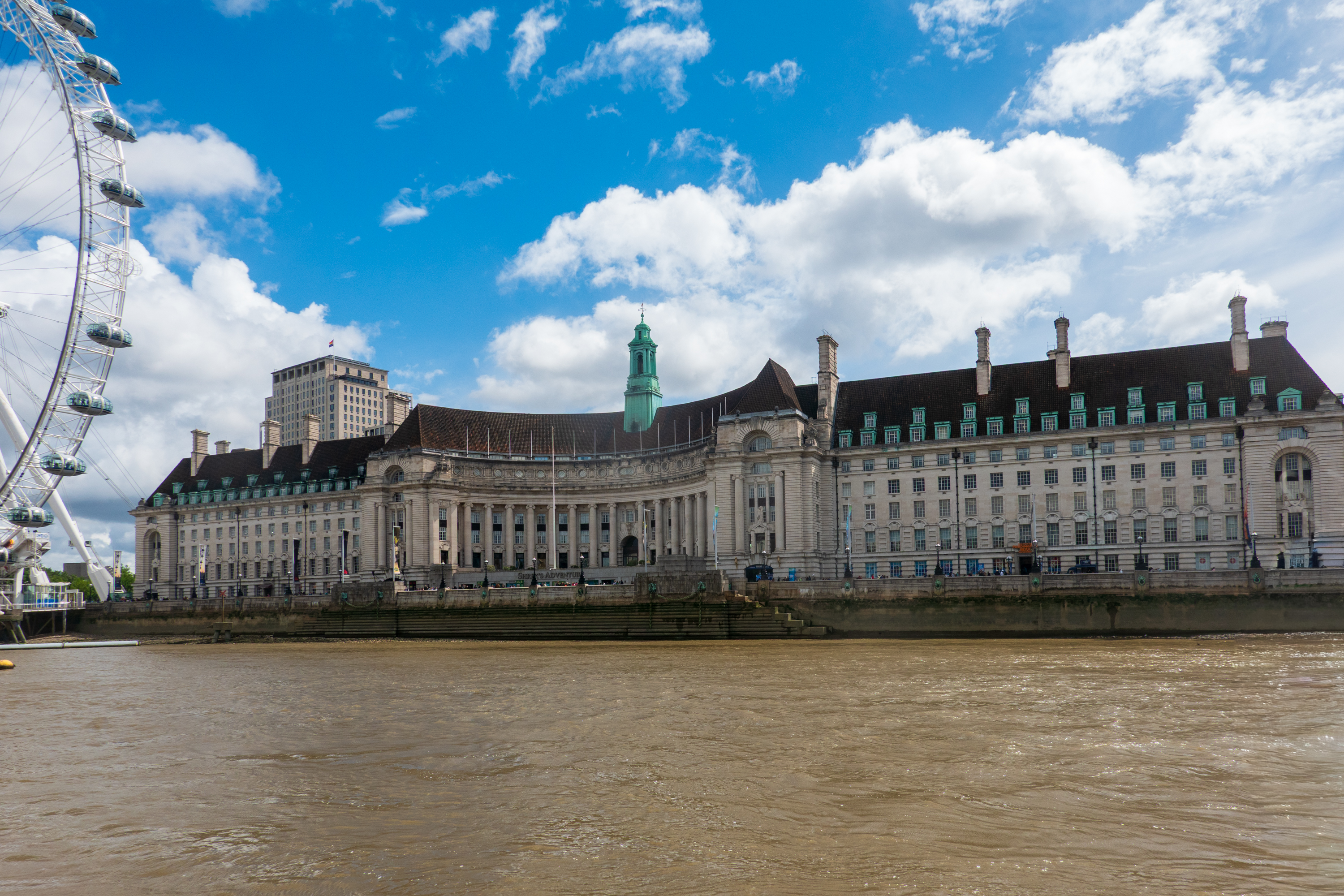
The London Country Hall building. Our (cheap-ish) hotel left, not so cheap Marriot right, Shrek’s tourist trap in the middle.
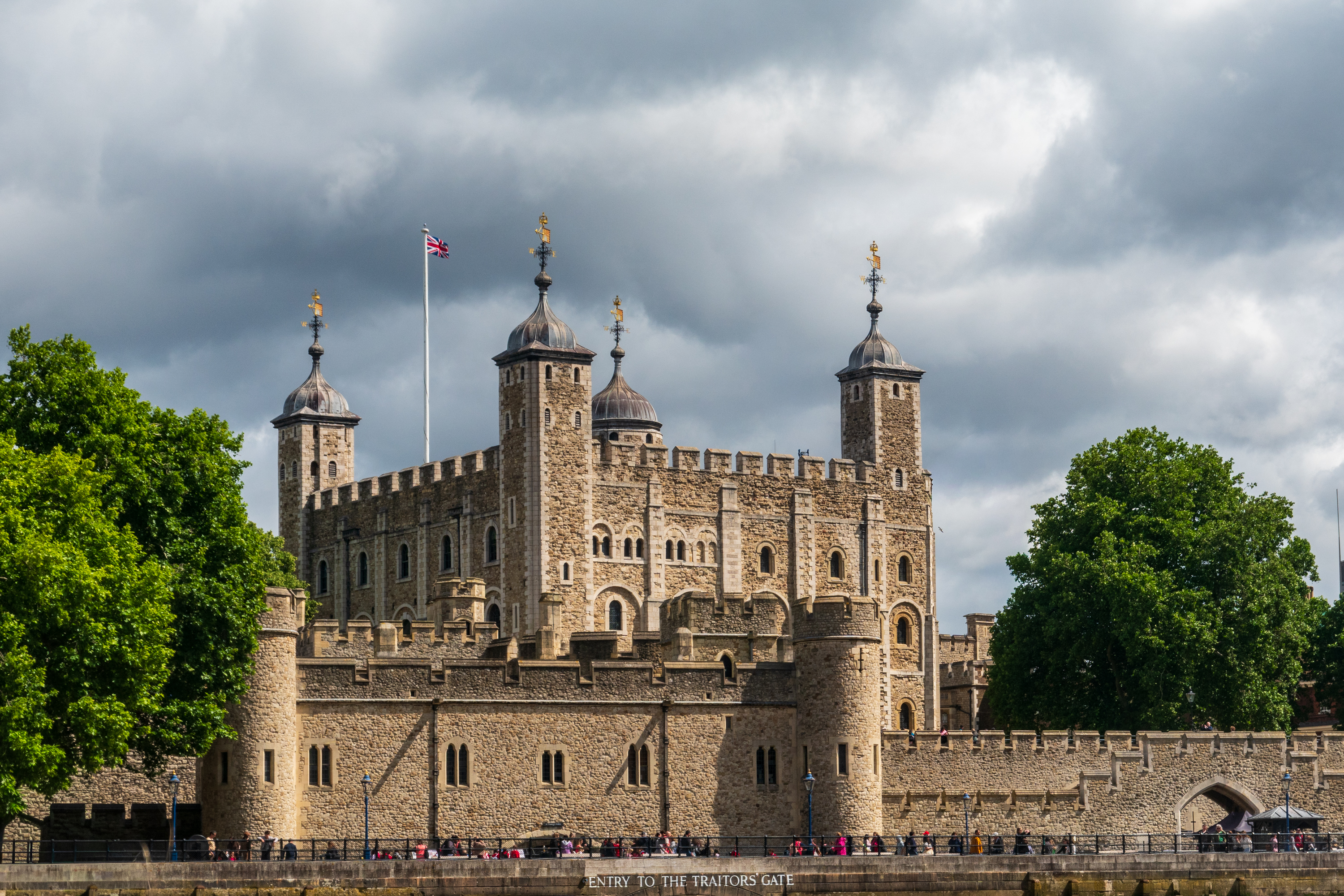
Obligatory tourist photo 1: The Tower.
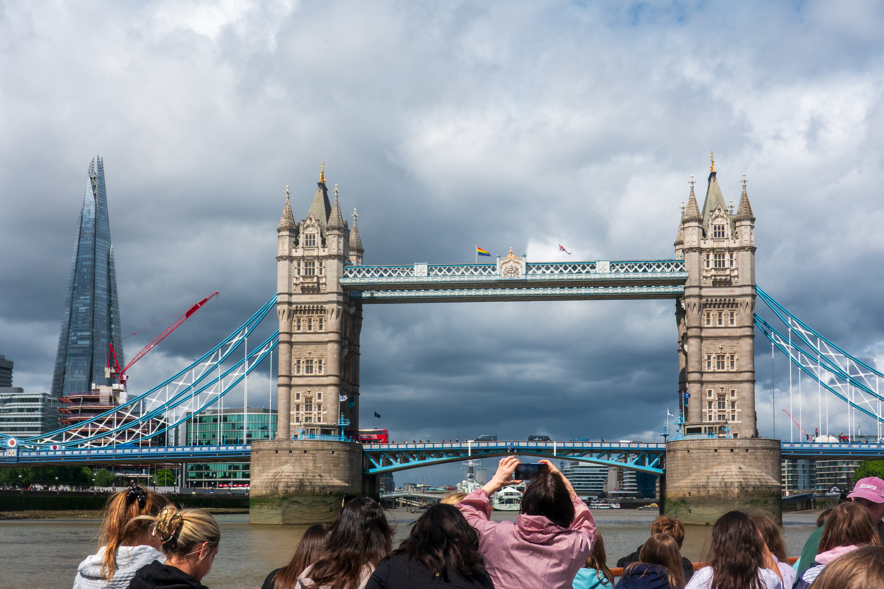
Obligatory tourist photo 2: Tower Bridge
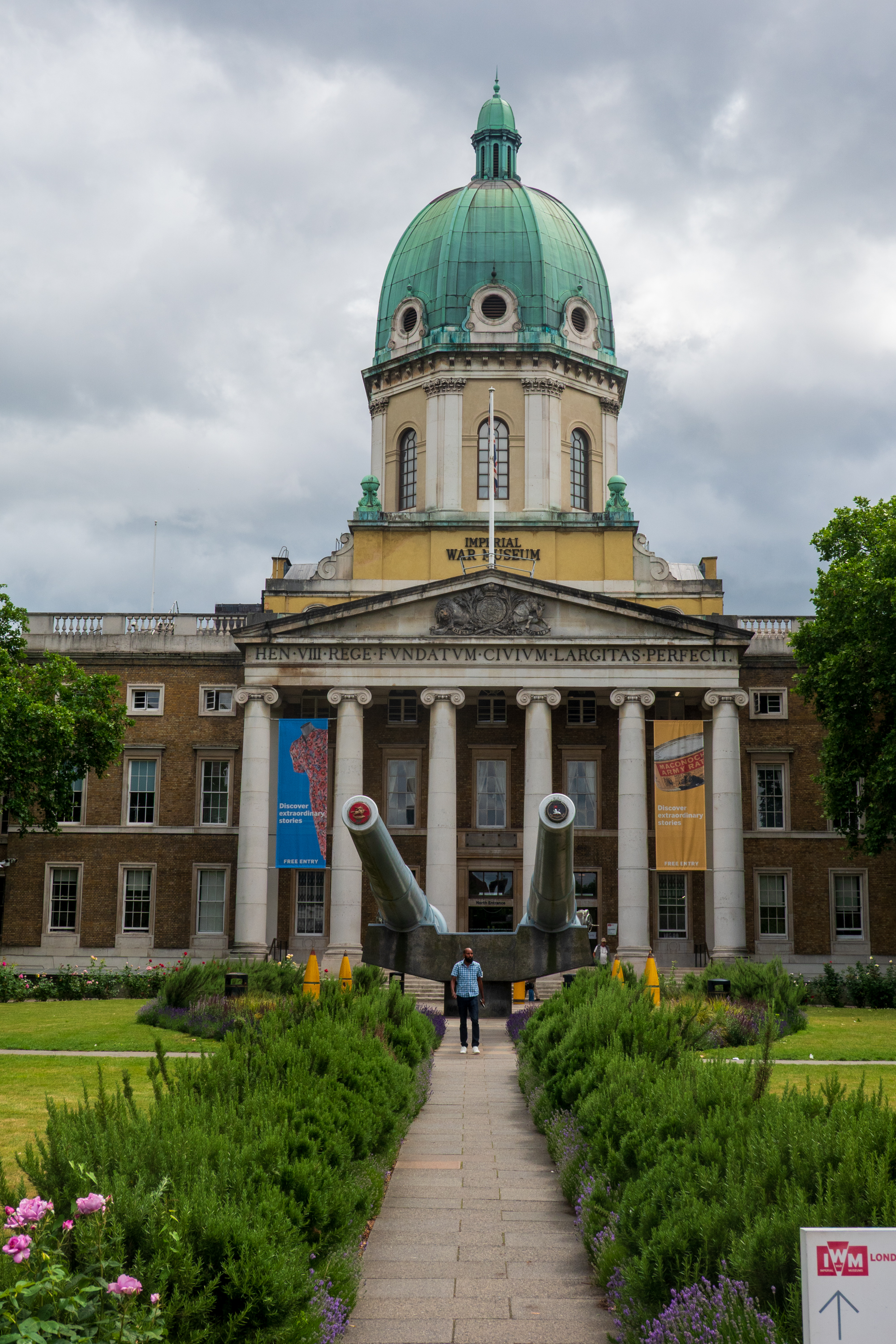
In the afternoon, we realized we could walk to the Imperial War Museum so we did. It was an excellent visit with some amazing displays, especially the Battle of Britain display and the Holocaust Display. The World War One was also an exceptional display. (https://www.iwm.org.uk/visits/iwm-london)
15″ Naval guns at the Imperial War Museum.
Surprise discovery … (click to expand and read plaque)on a quiet street. History literally around every corner.
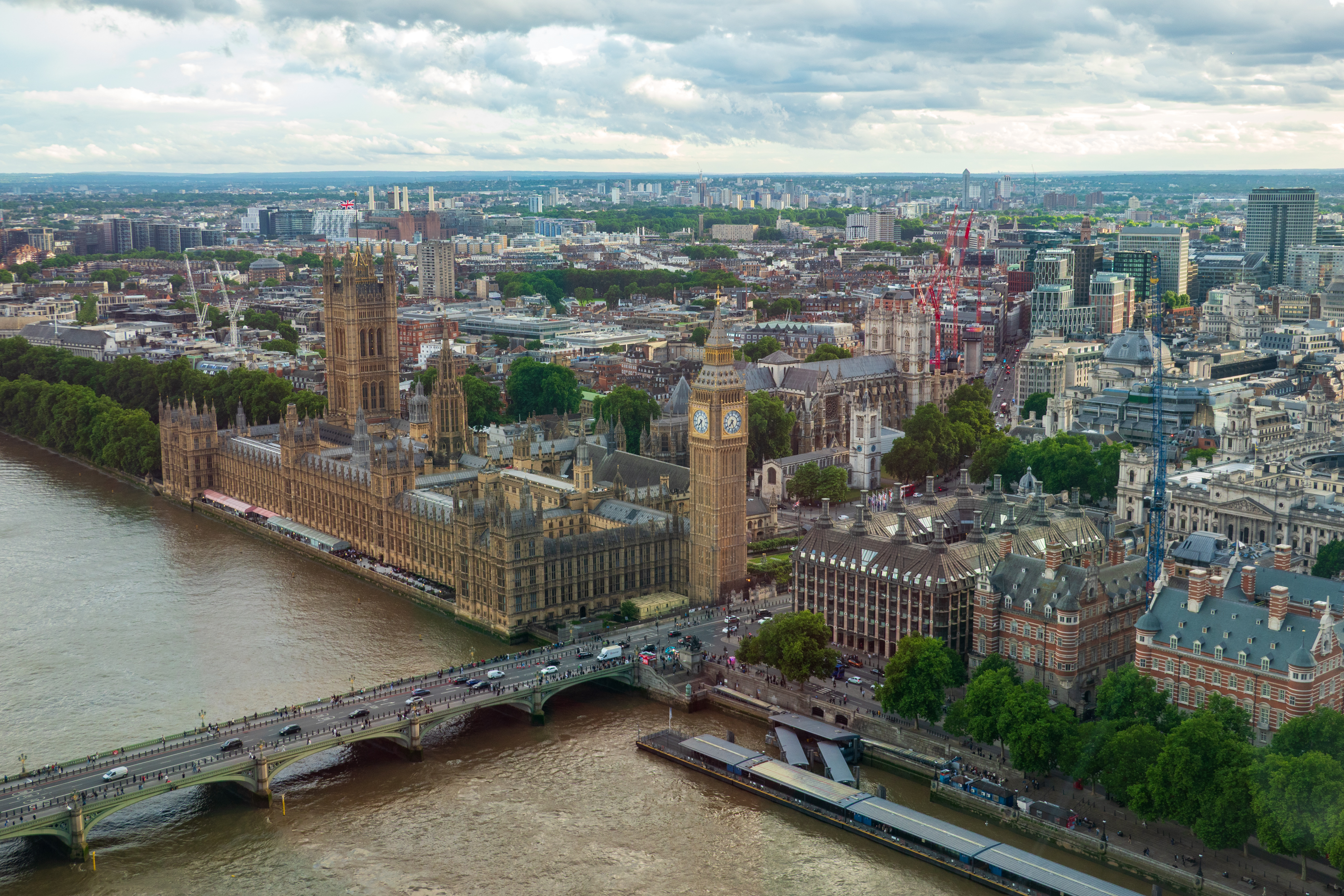
Come evening, it was time for our visit to/ride on, the London Eye. (https://en.wikipedia.org/wiki/London_Eye) The Eye is a classic tourist trap hold over, like the Eiffel Tower, but, like the Eiffel Tower, it is an amazing bit of engineering and provides great views. Pro tip, book in the evening and you can walk right aboard without queuing.
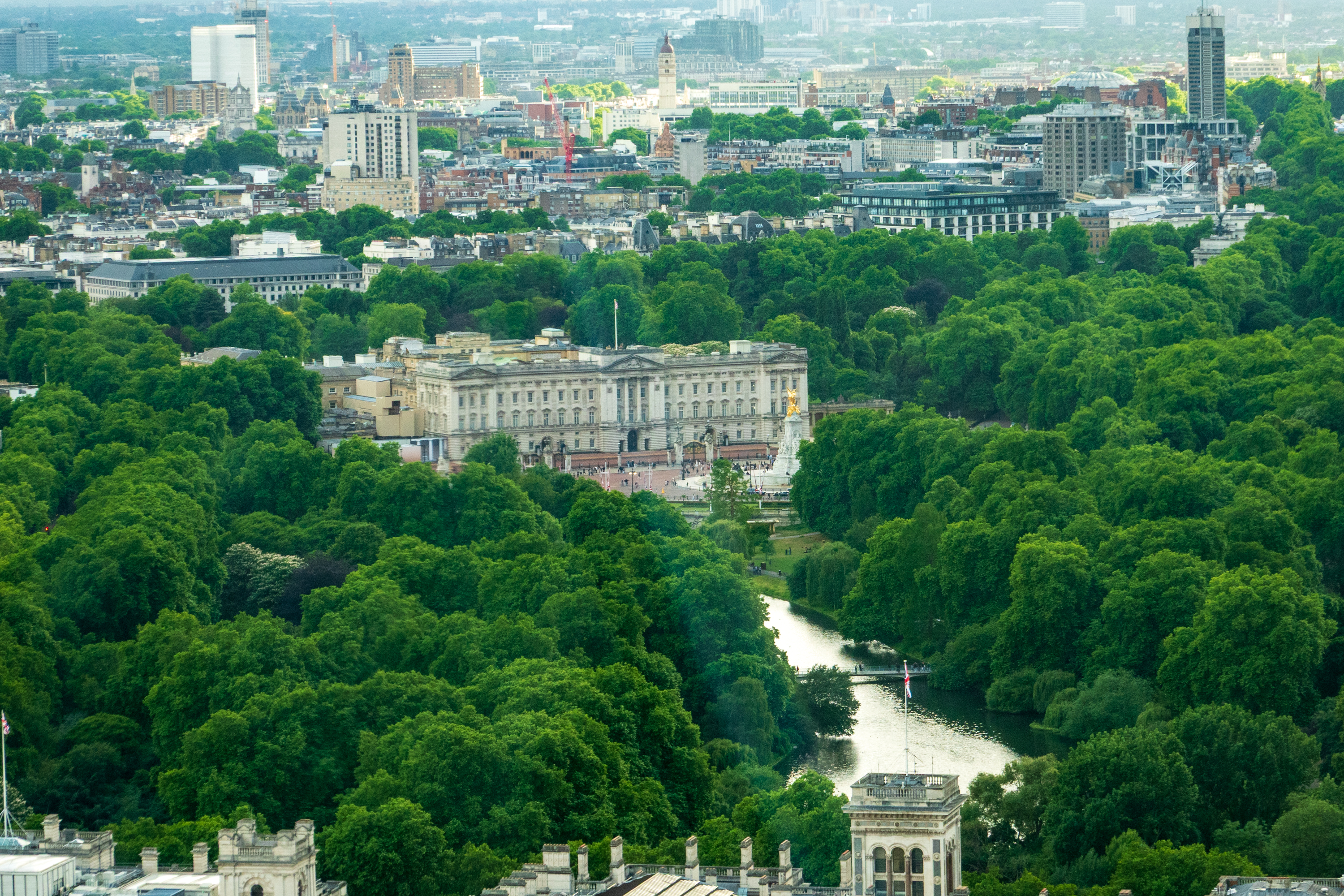
Buckingham Palace.
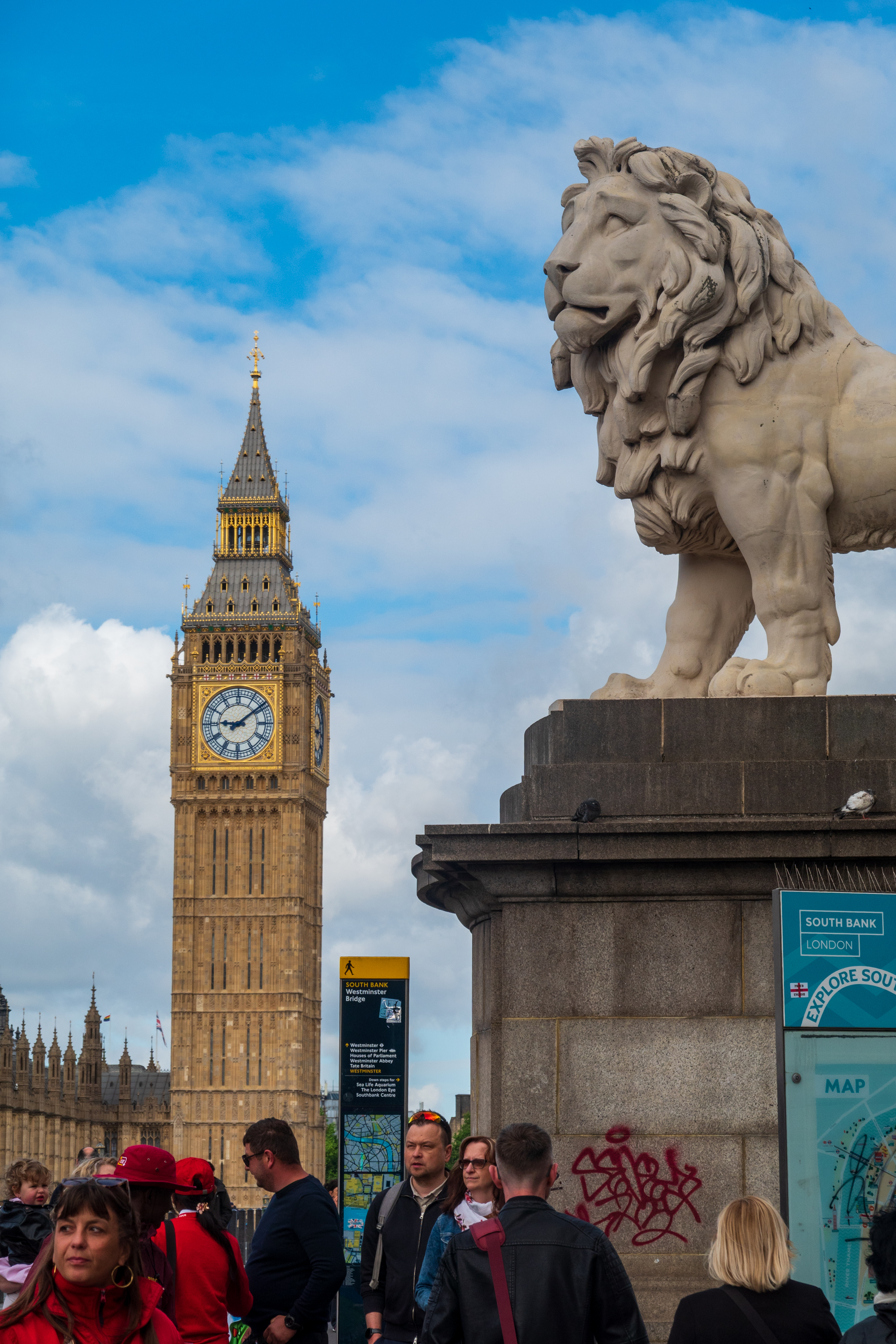
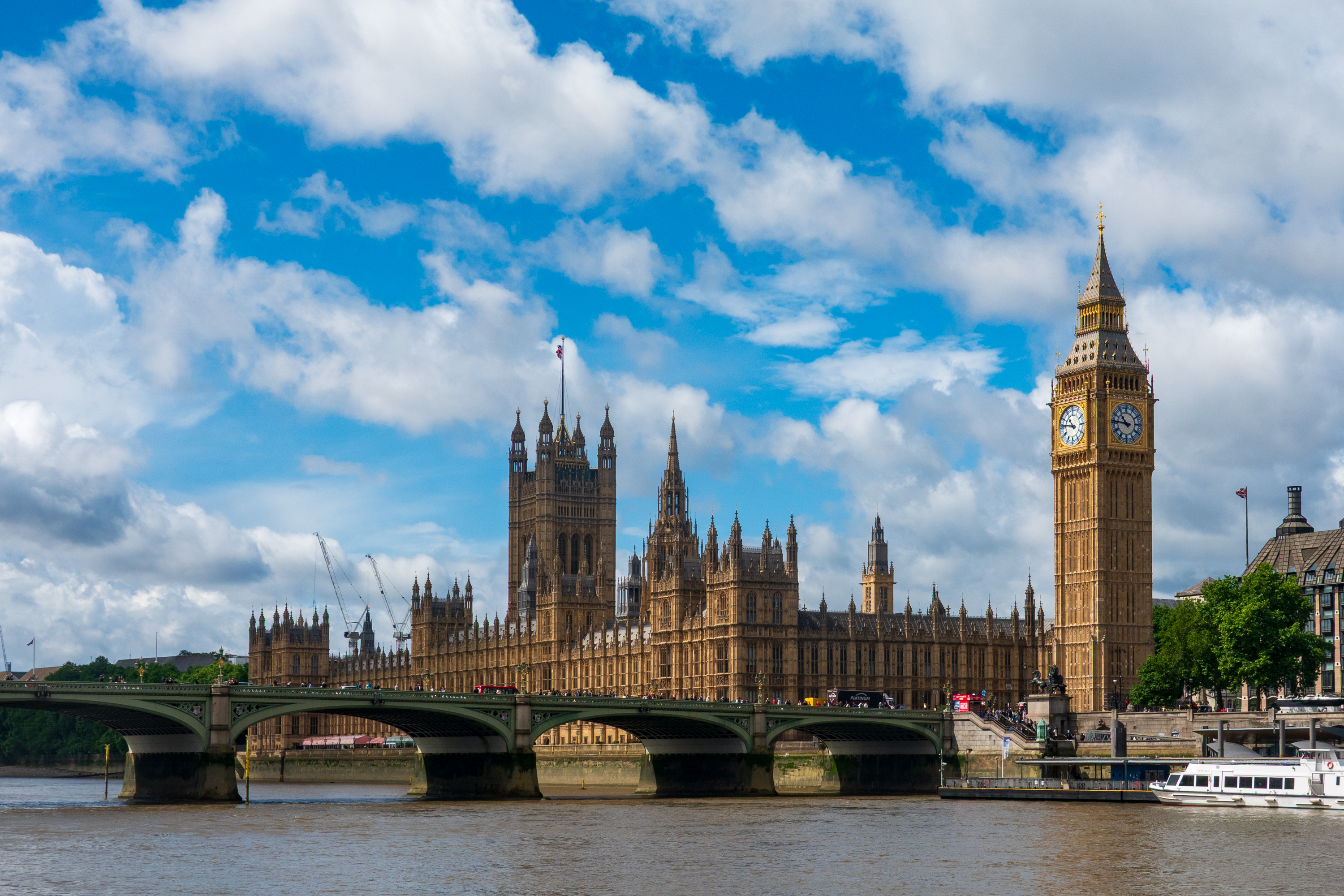
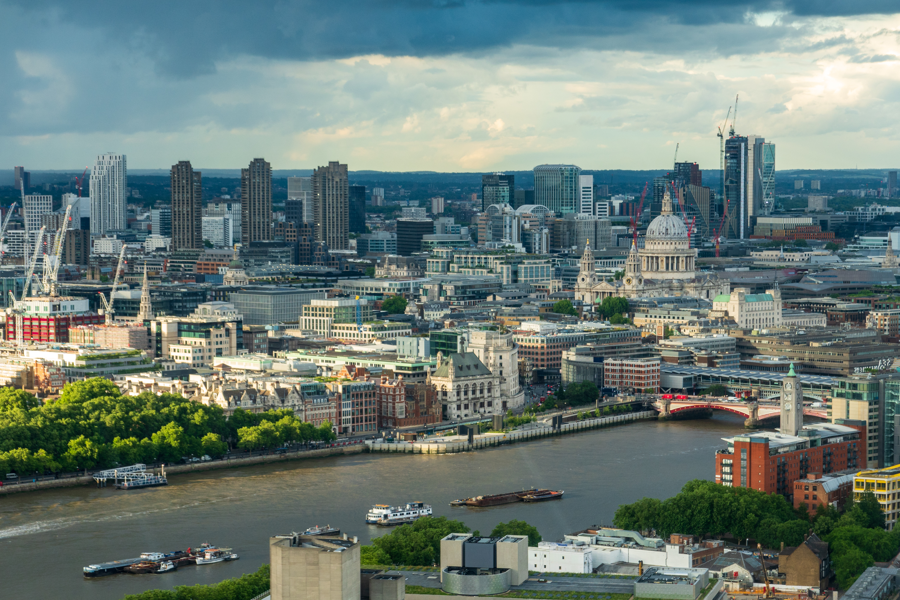
London trivia, there are eight points from which the view of St. Paul’s may not be obstructed. Now you know why London has some misshapen skyscrapers. And, if you ask for directions to the “Elizabeth Tower,” even the cabbie may not know where to go! (https://en.wikipedia.org/wiki/Big_Ben)
St. Paul’s Cathedral, in the “City.”The tourist favorite, the Houses of Parliament, Westminster Abbey, and the tower that houses the bell known as “Big Ben.”
The following morning we had booked a visit to the Churchill War Rooms. (https://www.iwm.org.uk/visits/churchill-war-rooms) We were actually rather disappointed in this. It was rather chaotic and suffered from too many people trying to see the displays at the start. It would have been better to take a small group around rather than allow 40 or so people entry en mass.
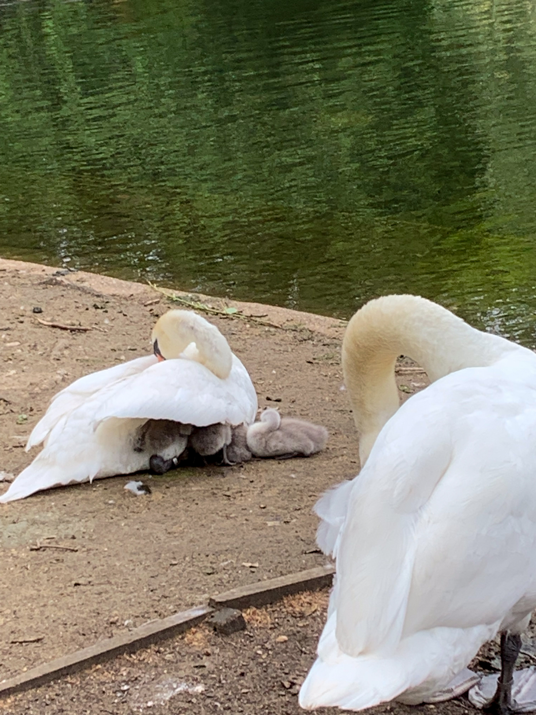
We then started walking around the edge of St. James’ Park, admiring the lovely water fountain and a swan with her cygnets tucked under her wing.
Hey! Move over!
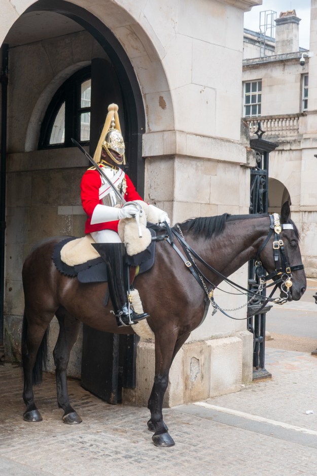
We came to the Horse Guards parade area and spotted a lot of tourists. So we joined them and enjoyed an exchange of mounted horse guards, including a group coming from Buckingham Palace.
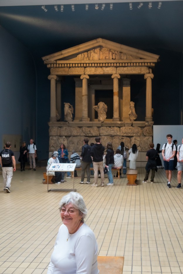
Our final visit was to the British Museum. (https://www.britishmuseum.org/) Neither of us had ever visited and we found it most interesting. We saw the Rosetta Stone and the Elgin Marbles and other displays from around the world. Would take weeks to do it justice.
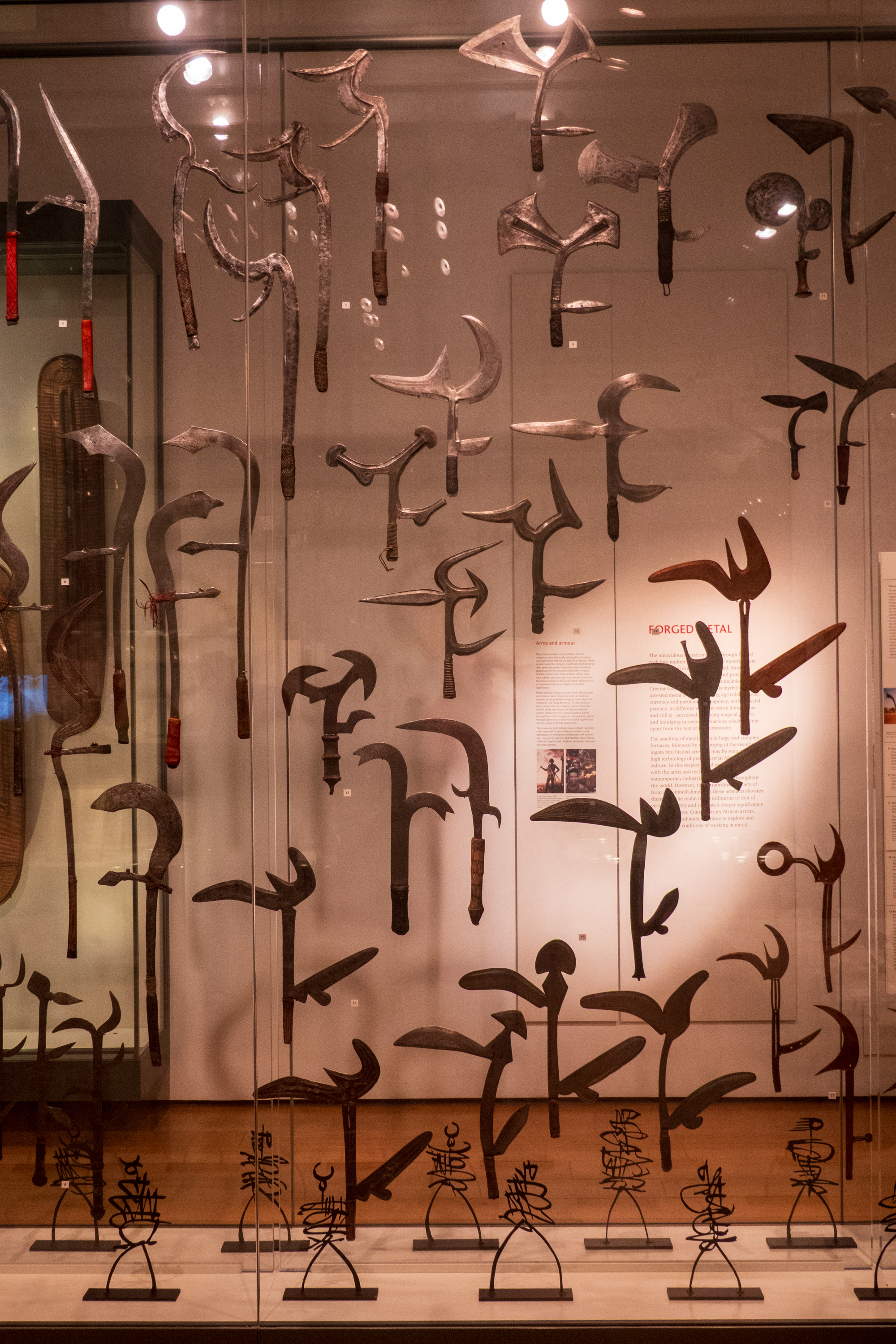
That’s a lot of blades!
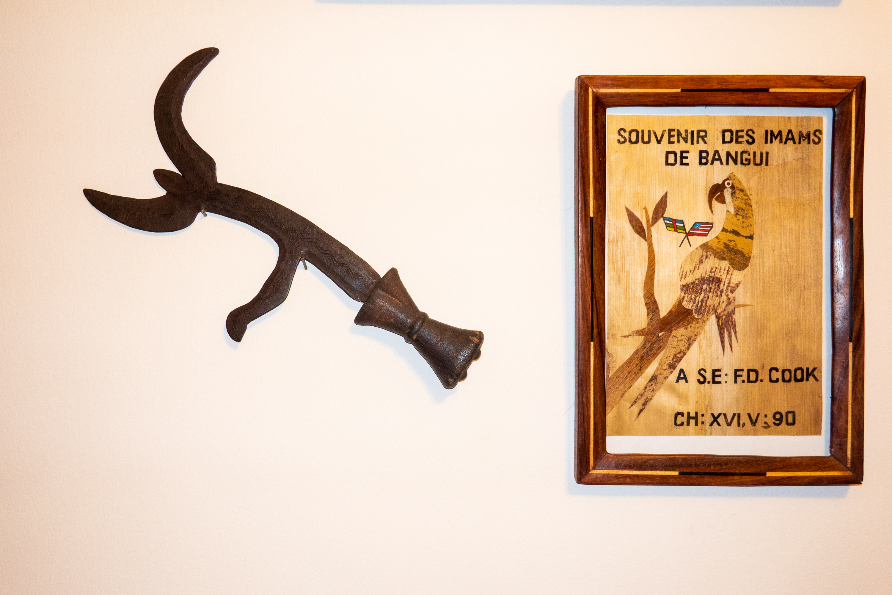
My own Kpinga, residing on the wall next to a nice homage from the Imams of Bangui
Years ago, we attended the dedication of a health center partially funded by the Ambassador’s Self-Help fund in the Central African Republic. It was one of those rare success stories and the people made Denise and me very, very welcome. Part of the day long ceremony included an “animation” in which “youth” fought off ignorance and disease with a kpinga, an odd, multi bladed knife. At the end of the ceremony, I was presented with the knife and it resides on my office wall to this day. (https://en.wikipedia.org/wiki/Mambele) One way to know that the people were Azande. So, imagine our surprise when we turned the corner in the British Museum and were presented with a wall of them!
And the next day we took the train back to Chichester to spend a last couple of days with Denise’s brother and sister in law. We made it in time to go to the Chichester Cathedral for the annual flower festival.
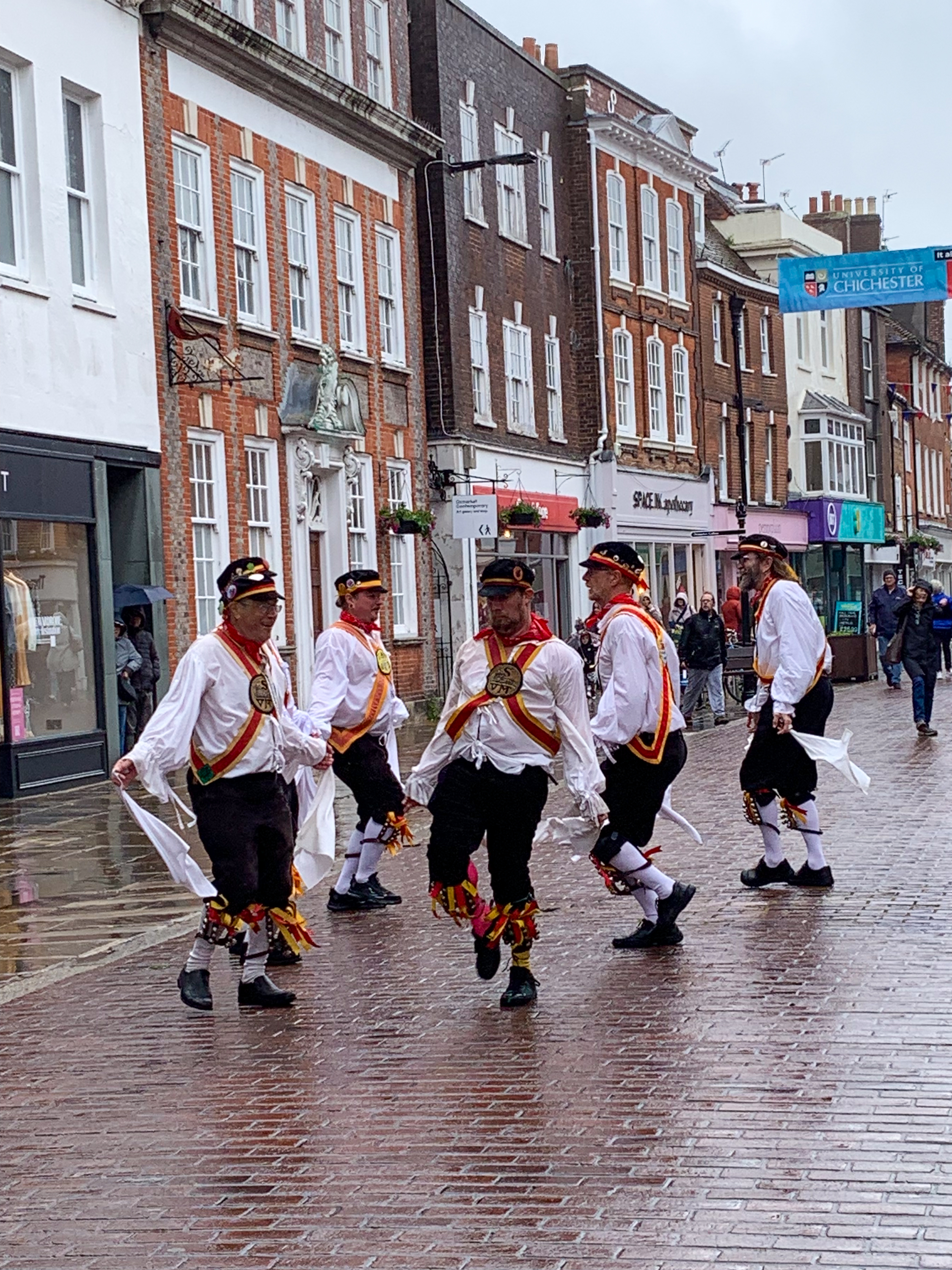
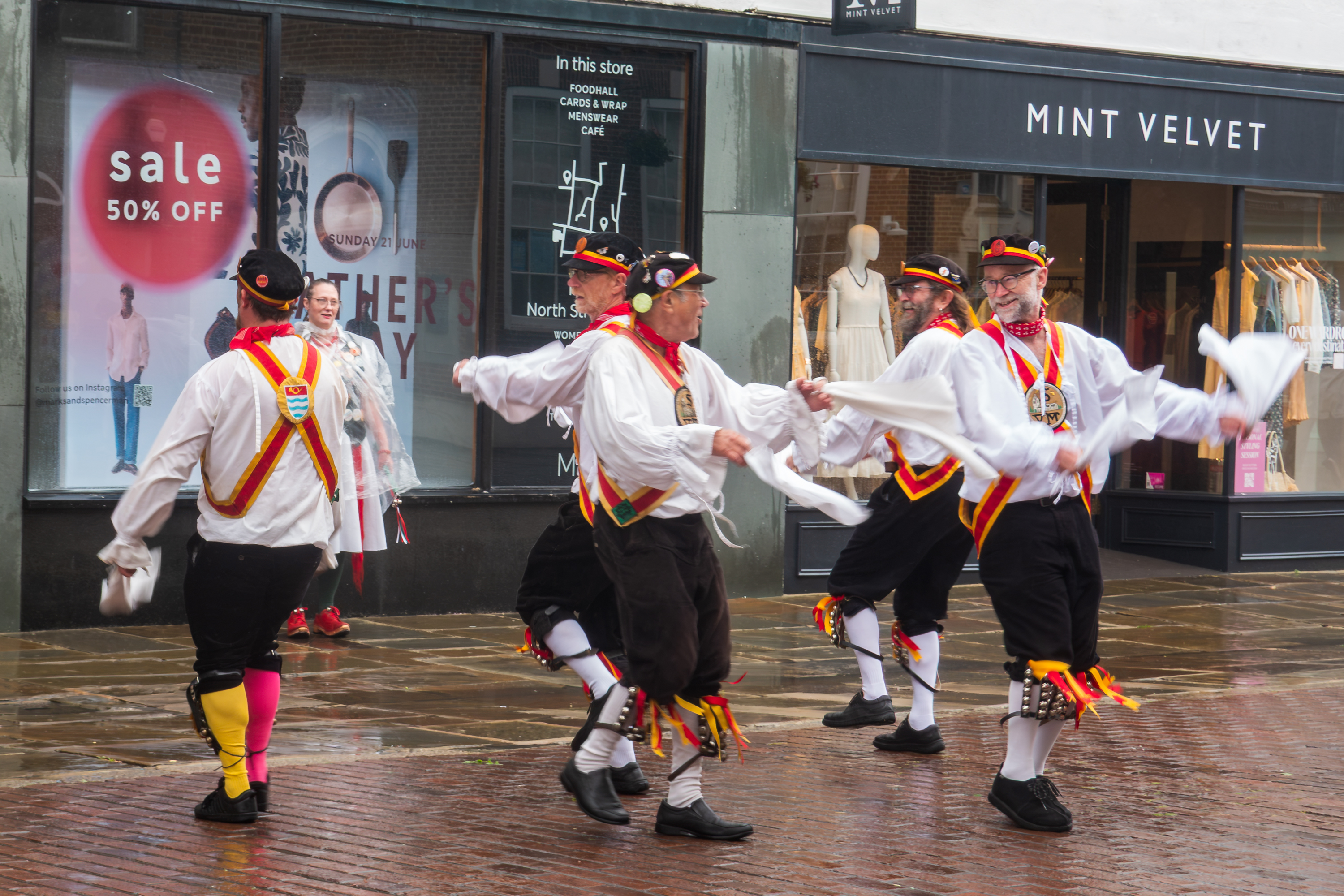
As we walked to the Cathedral, we encountered a group of Morris dancers, in the rain.
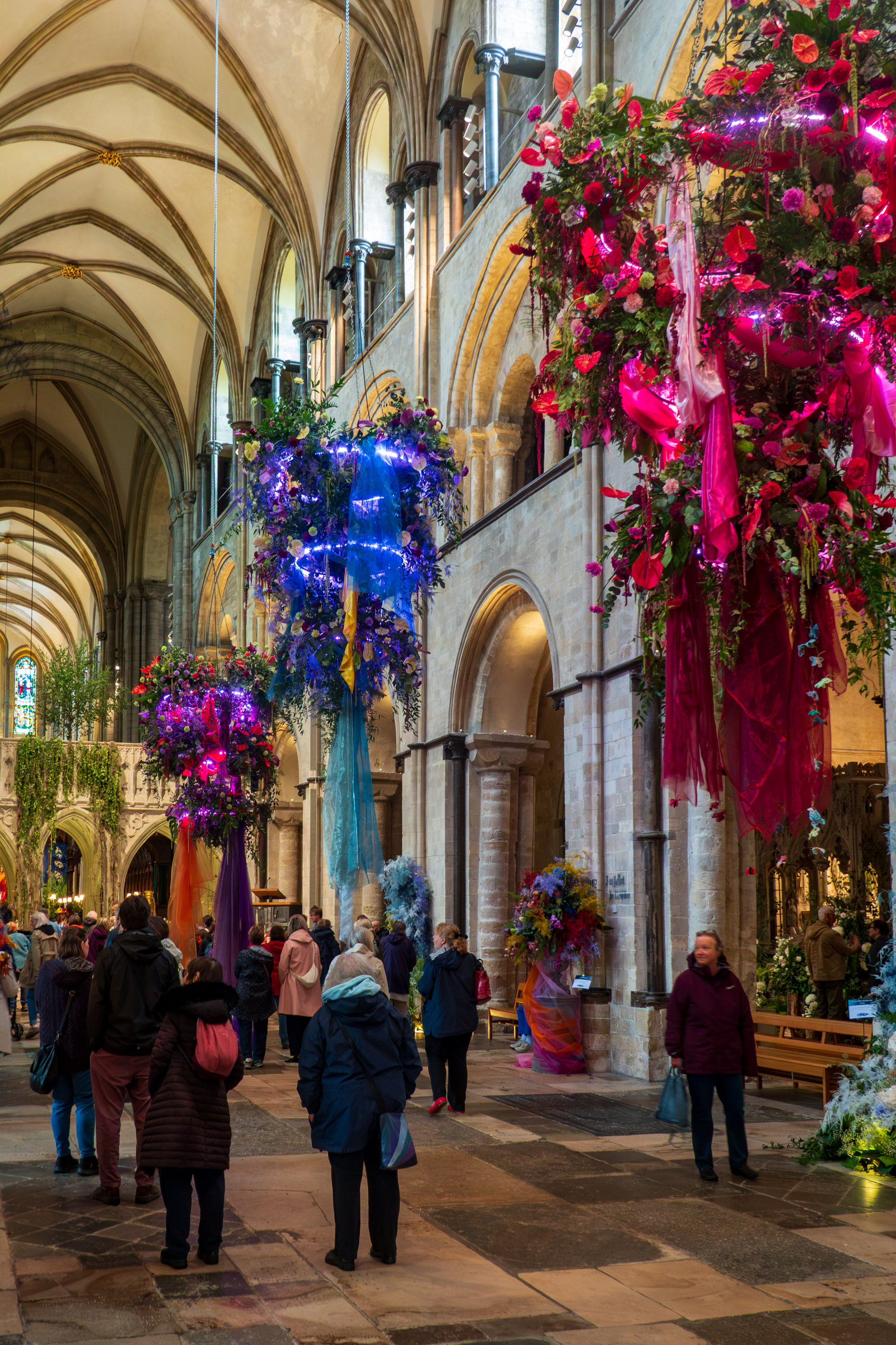
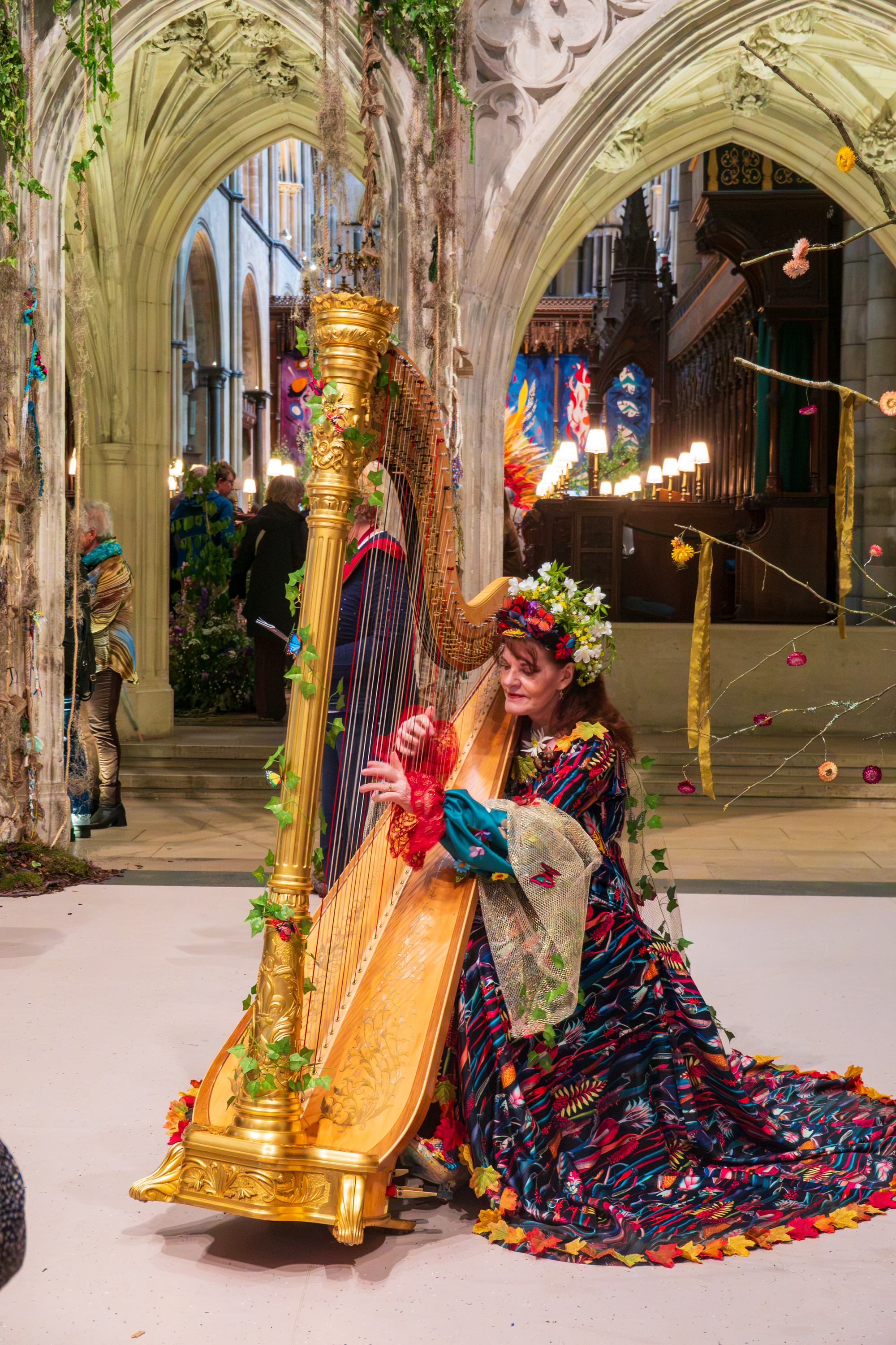
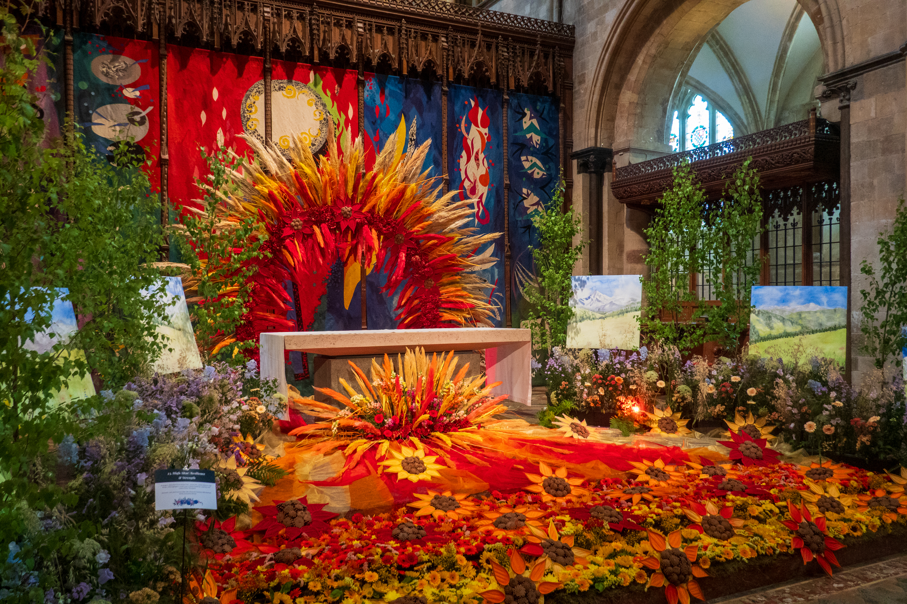
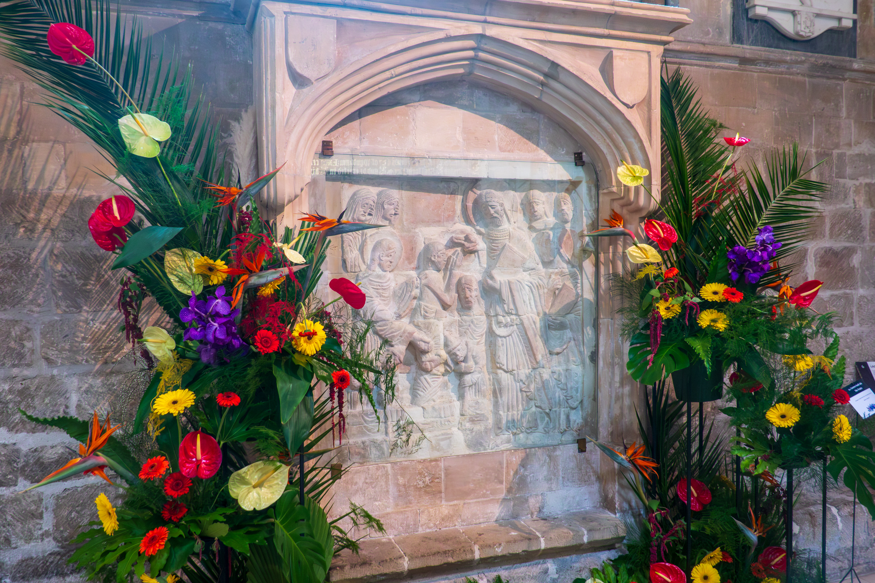
Various flower shops, churches and other flower designers had created marvelous displays of flowers all through the Cathedral. A fabulous visit.
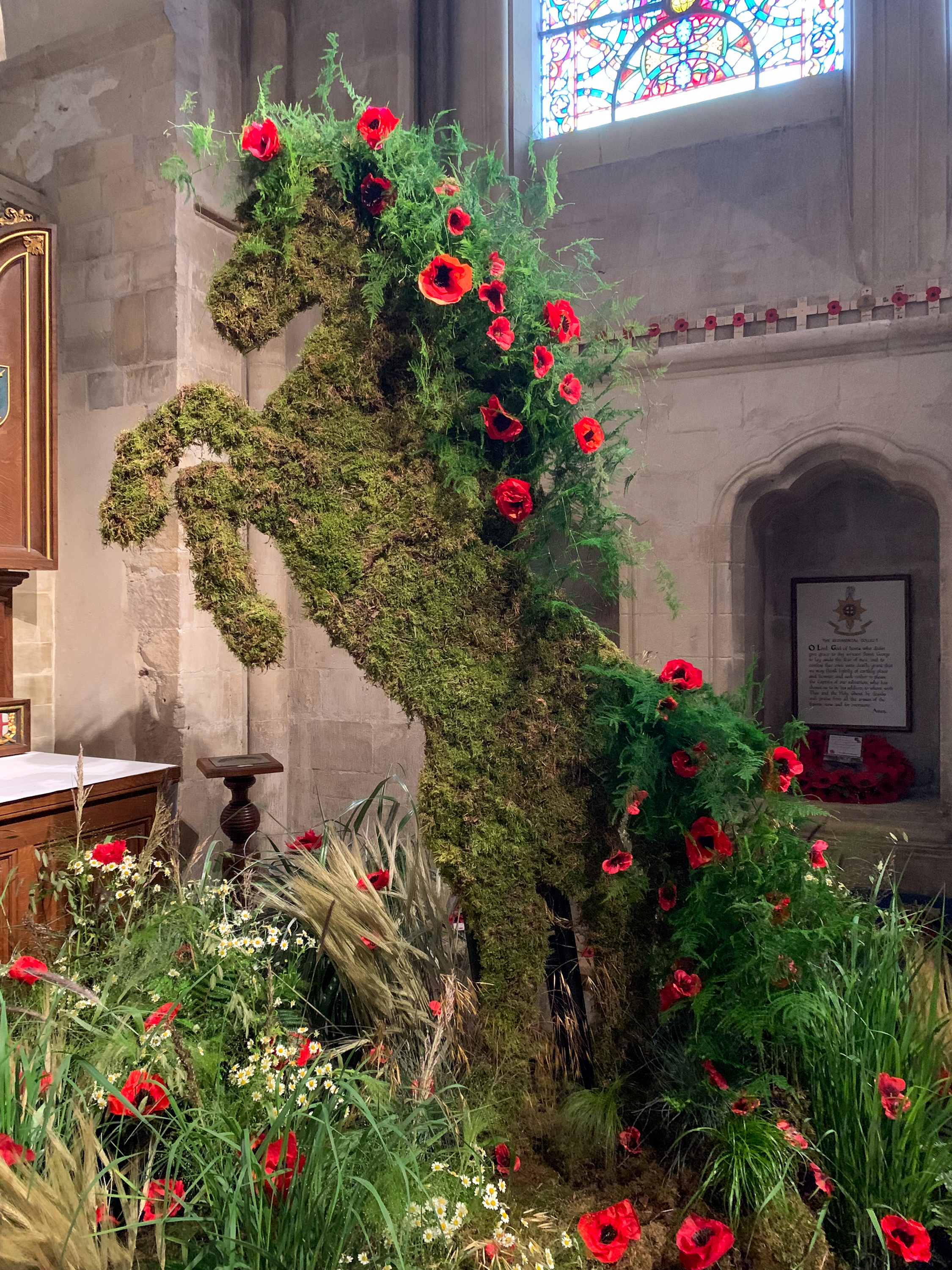
The horse is the symbol of a British regiment, displayed in their chapel. Note the poppies, a memorial to the fallen.
On our last day we took a taxi back to Heathrow and we made our flight back to the US. The three year Euro Saga is complete.
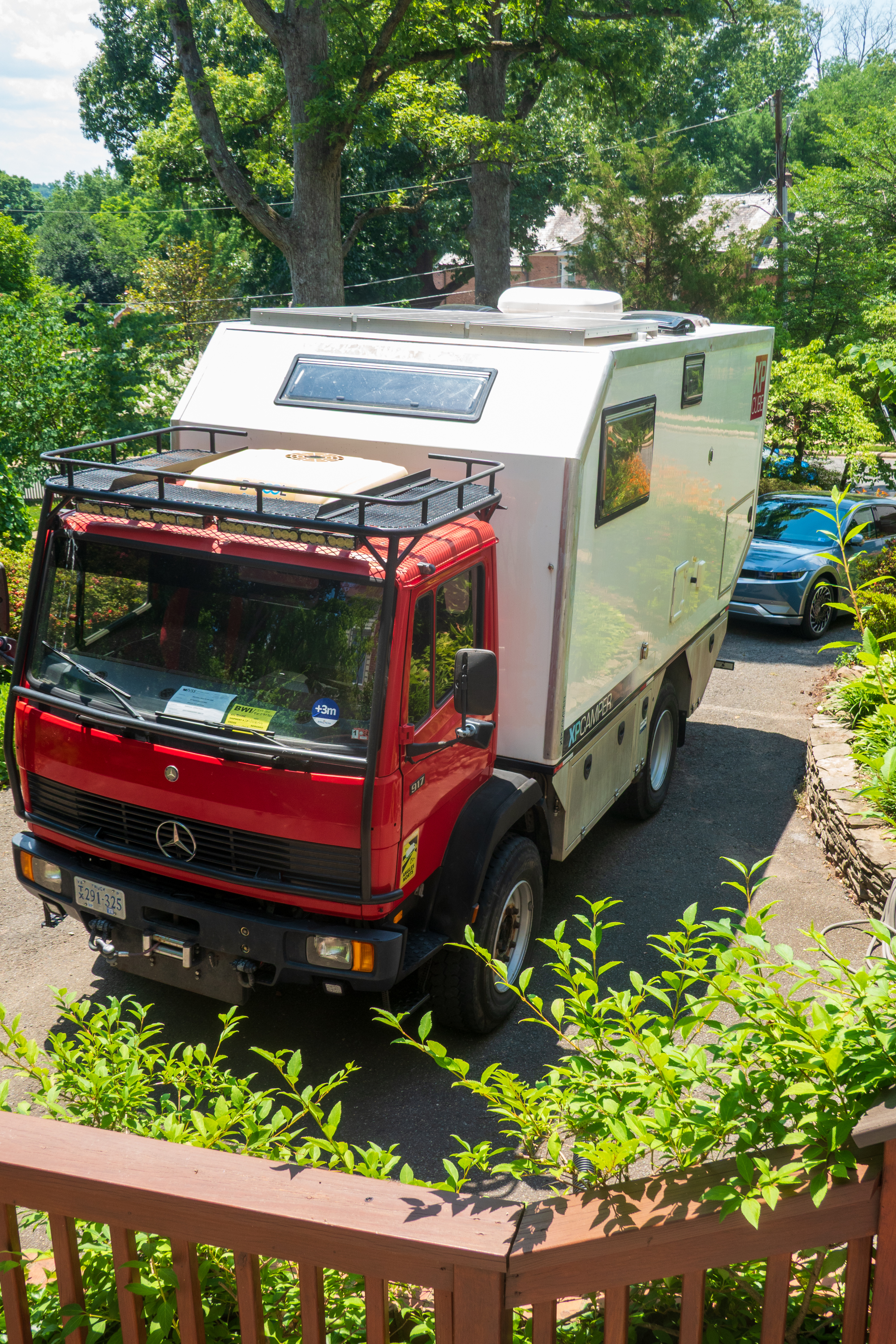
Once we received the paperwork we were off to Baltimore to pick up the truck. The last time Fred picked up a vehicle in Baltimore, in 1974 after the trans Sahara trip, it had been stripped clean. This time, fortunately, everything was perfect, indeed, there was no sign that the vehicle had been entered either in the UK or upon arrival in the US. Wonderful!
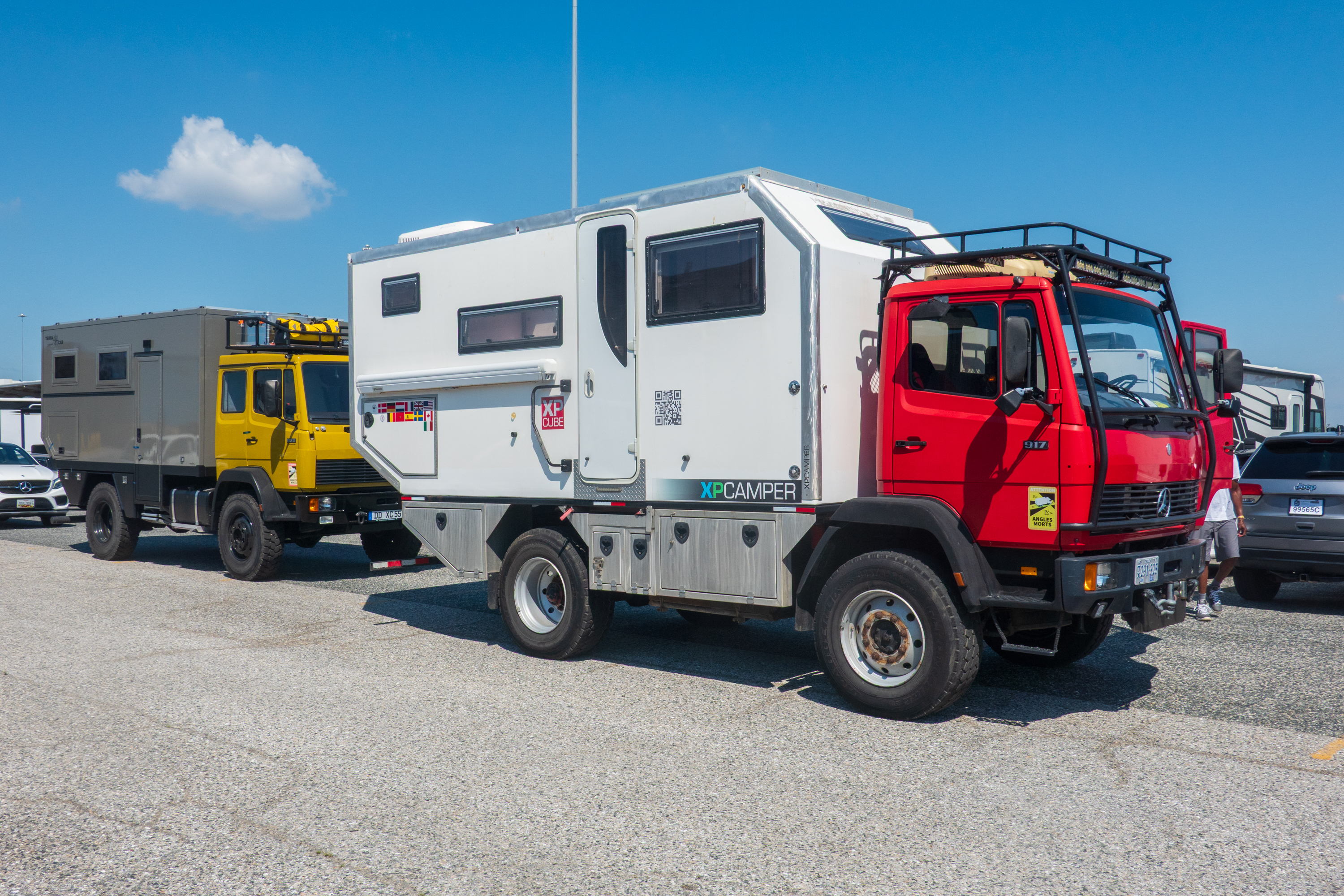
On the pier in Baltimore, along with a German camper, almost a twin.
We had spent three months in France previously but had not covered the western coastal area. We headed west to break our journey in Cognac. We have been to many wineries, whisky distilleries, and in the US, to bourbon distilleries, so we thought it was time we learned how to make Cognac.
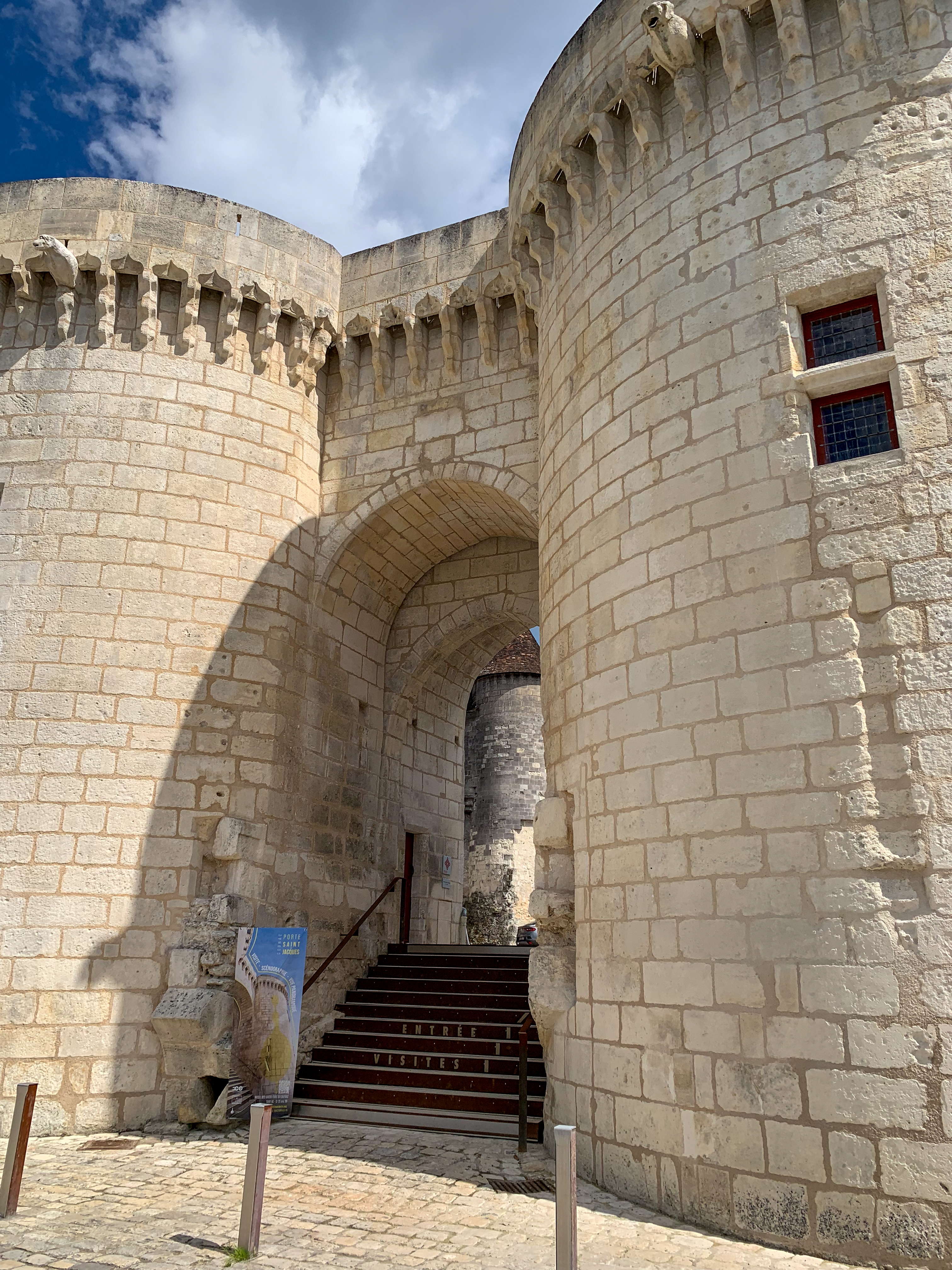
Porte Saint-Jacques, Cognac
Cognac proved to be an interesting visit in more ways than one. We found the aire, though we had to take a route through the usual quaint and narrow streets. The Aire was pleasant and right beside the River Charente. We arrived in time for a walk and discovered the Musee de Savoir Faire de Cognac was actually open on a Sunday afternoon. (https://les-distillateurs-culturels.fr/musee-des-savoir-faire-du-cognac/) So we we visited and thoroughly enjoyed it. The museum deals with the history of Cognac, how cognac was developed, the role the River Charente played in shipping etc. As it turned out, the museum provided lots of details that the Hennessy tour did not. Well worth it.
We woke up that night, in a downpour, to find water dripping on us round the edges of the skylight above our bed. Grr! Not good! Fred quickly realized that placing the metal trim around all the edges of the roof meant that more water was being pooled on the roof, so at 2:00 AM he got up and put the blocks under the back wheels to slope the roof. This had the desired effect. We mopped up as best we could and went back to sleep!
The next morning, Fred set off on his bike to the local Mr. Brico (Think Lowes/Home Depot) to acquire materials needed to reseal the skylight. The skylight had not been removed and resealed for about eight years, so it was obviously time for a touch up. This took most of the day but Fred was able to finish and shower before we headed out for our Hennessy tour at 4:30 PM (https://en.wikipedia.org/wiki/Hennessy)
The tour proved most interesting. It began with a 10 minute, very French, video on the history and development of cognac and the role of the river, the special white grapes and other general information, all presented in a VERY artistic, existential manner. As we said, very French! It also covered the remarkable story of Richard Hennessey, an Irish emigrant who served in the French army before founding the house of Hennessy in 1765. He and his family are credited with several important innovations including a focus developing foreign markets, exporting in bottles, so the flavor would stabilize, and encouraging the development of local cocktails, in each market, that depended on Hennessy cognac. As Anglophones, we look at the name and see “Hennessey” But in French, the name is pronounced “N S A” (en, ess, say)
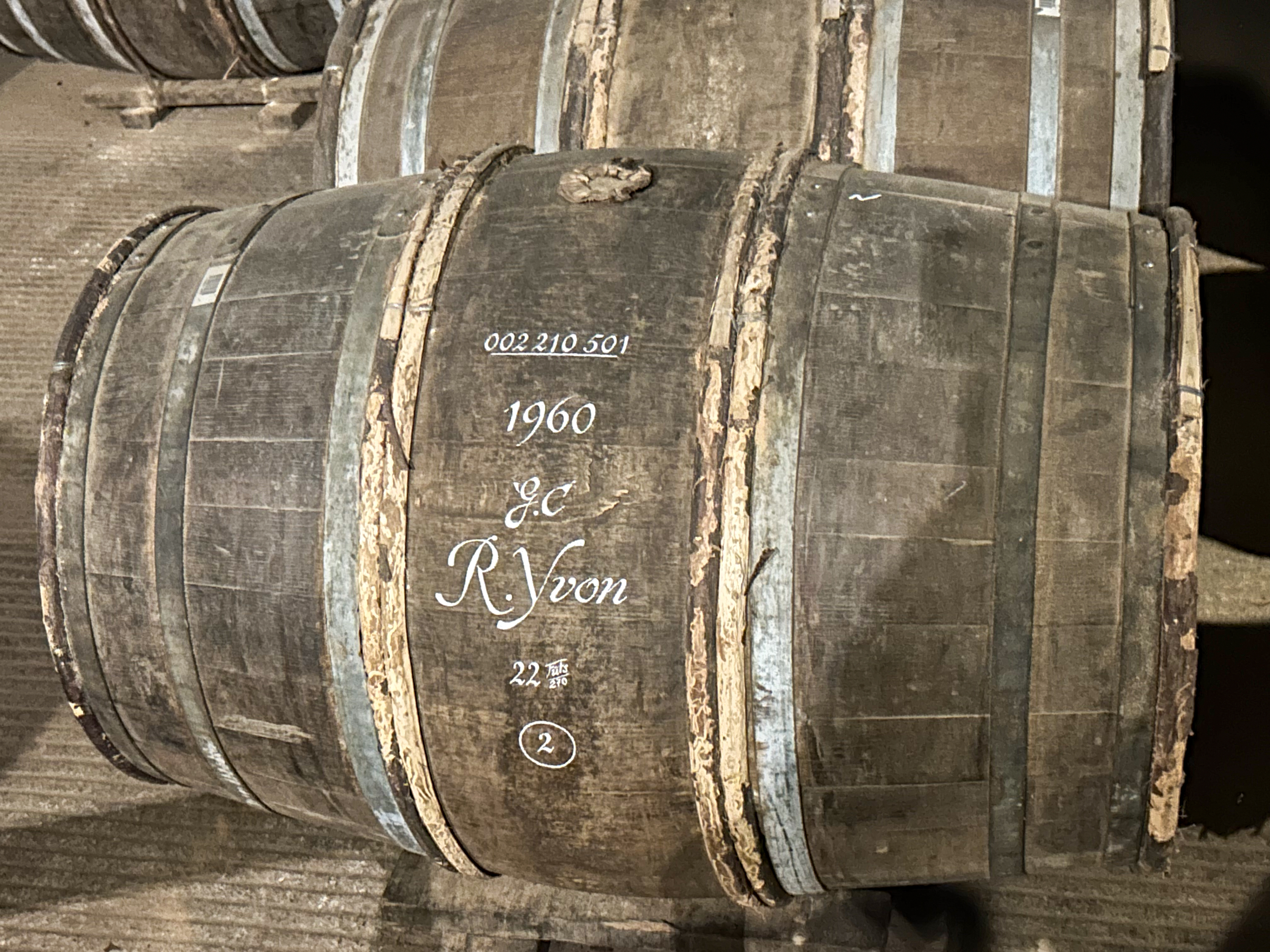
We were led through the aging warehouses to see the usual racks of barrels. And the unusual – barrels from 1960, still aging!
Needs a bit longer … (The name is that of the vineyard that provided the wine.)
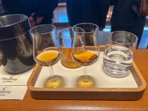
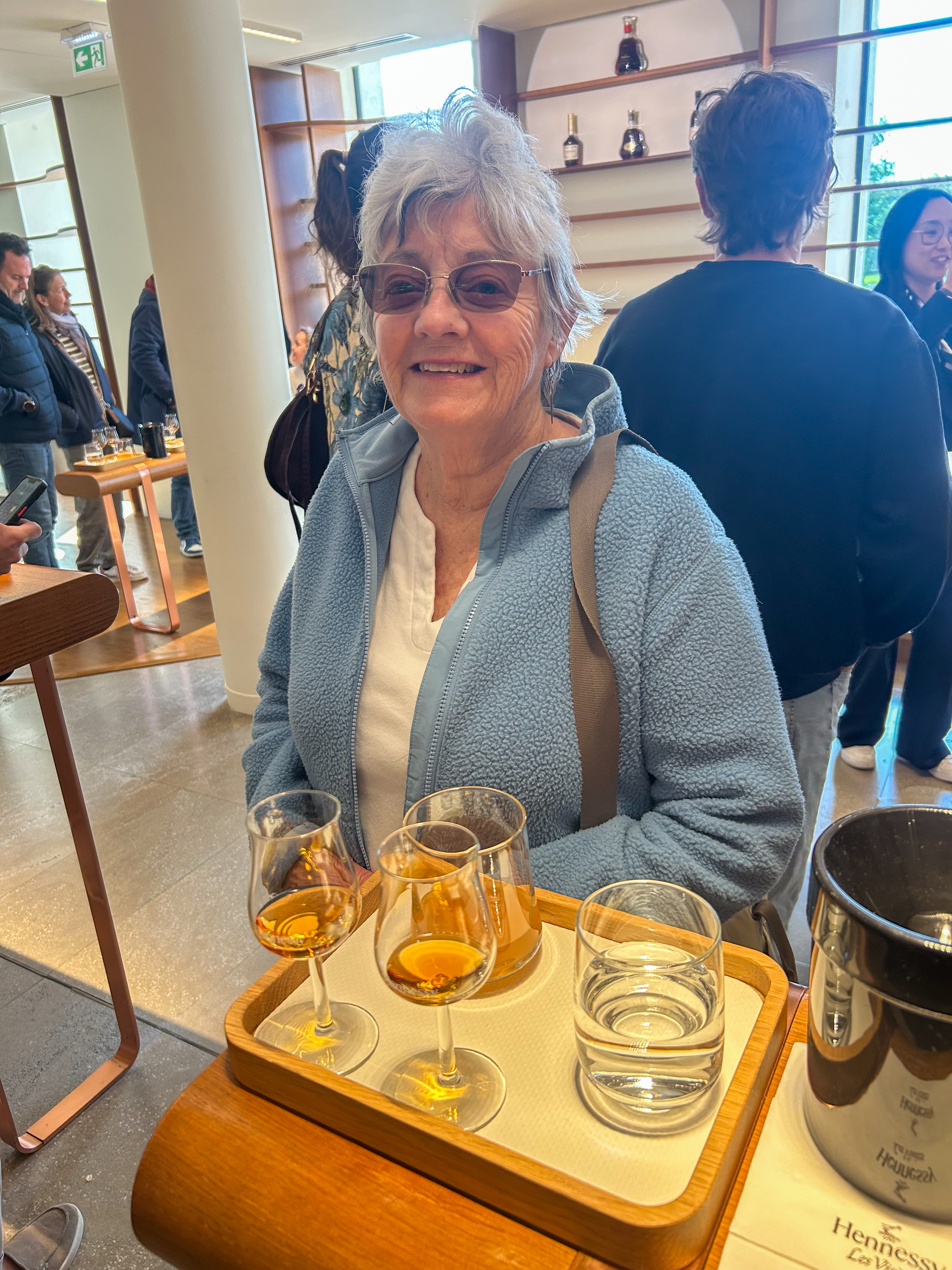
Our tour finished with a tasting of the two year old, VO (two letters), and the 4 year old VSOP (four letters) cognacs. Ten year old cognac is, of course, wait for it, “XO”, from the Roman numeral. (NOT included in the tasting!) Great fun.
Meanwhile the Aire had had an interesting day as it had suddenly closed to new vehicles at about 9:00 AM. We watched as several people had been turned away – cards would not work, phone calls didn’t help, etc. One person could not leave without several calls to the help desk. Then it suddenly reopened at 6:30 PM. Most odd. We were able to leave the following day with no problems.
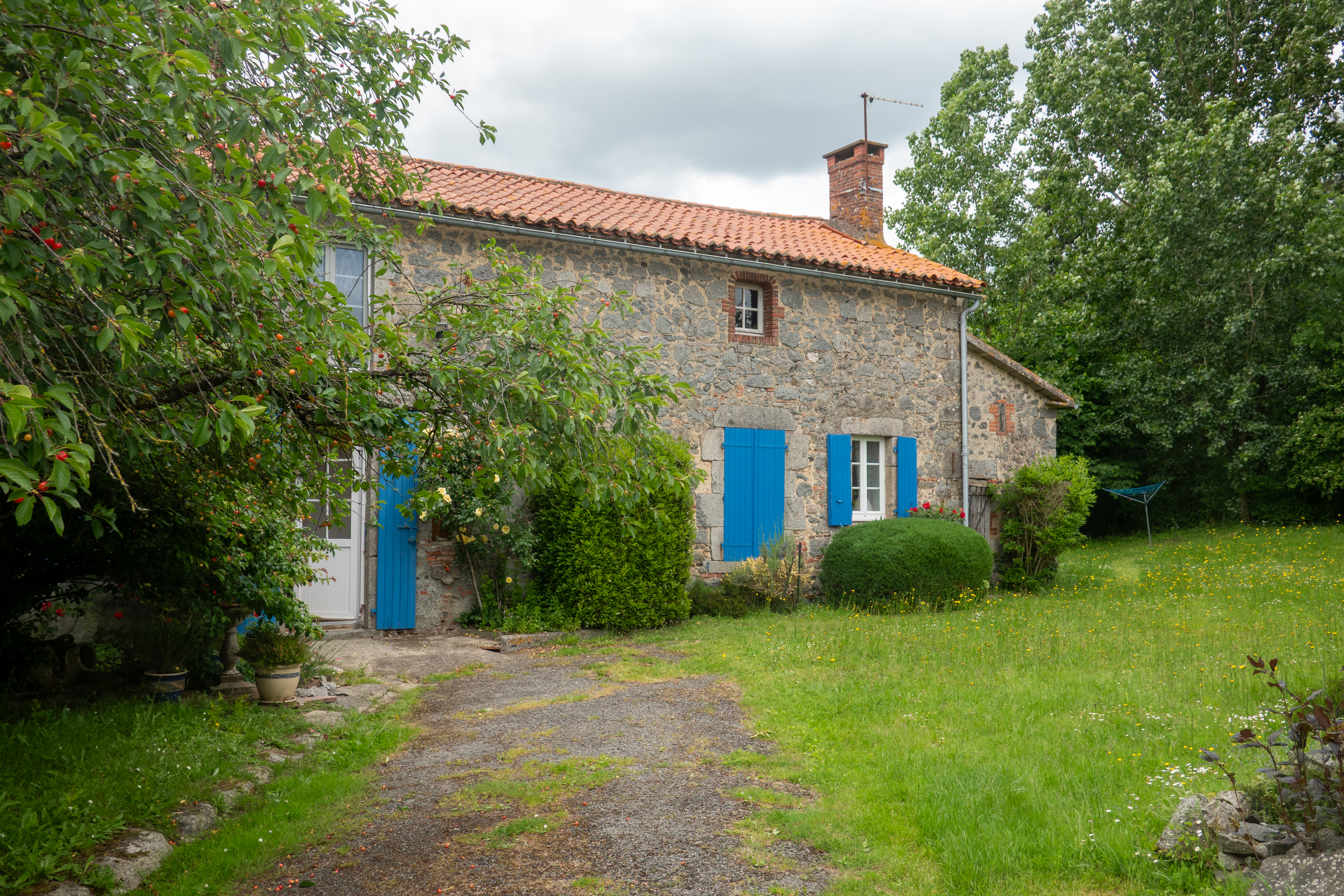
We then turned north to a small village called La Foret sur Sevre, where a university friend of Denise’s had lived for many years. They had not seen each other since their time at university.
We thoroughly enjoyed our visit and had a wonderful dinner at a local restaurant, L’atipi’k. (French for “Atypical”) (https://restaurantlatipik.fr/la-carte-restaurant-latipik-moncoutant-sur-sevre/ ) This restaurant tried to do everything a little differently, for example, the starter included black noodles, and the dessert combination had black vanilla ice cream! It all tasted wonderful!!
The weather had been quite decent in Cognac, but less so as we headed north. We had considered stopping in Nantes but could not find a reasonable place to camp so we continued to Rennes where we found a very nice campground in the middle of a park. The weather deteriorated so we decided that, despite a nice bike route, biking into Rennes was not an option. We had a delightful day in the camper, doing some blog and some housekeeping chores. We also walked to an Aldi for a couple of emergency items.
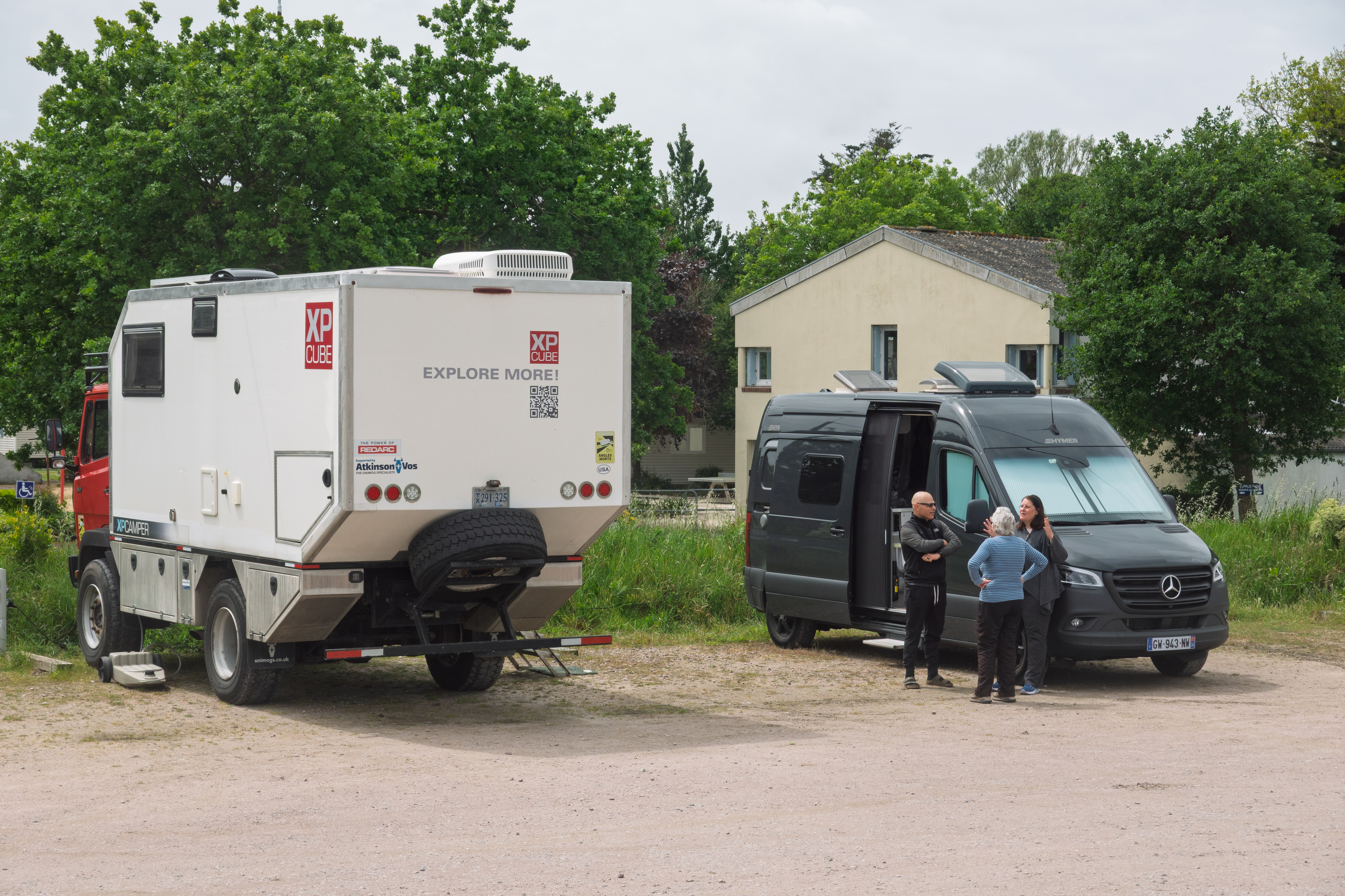
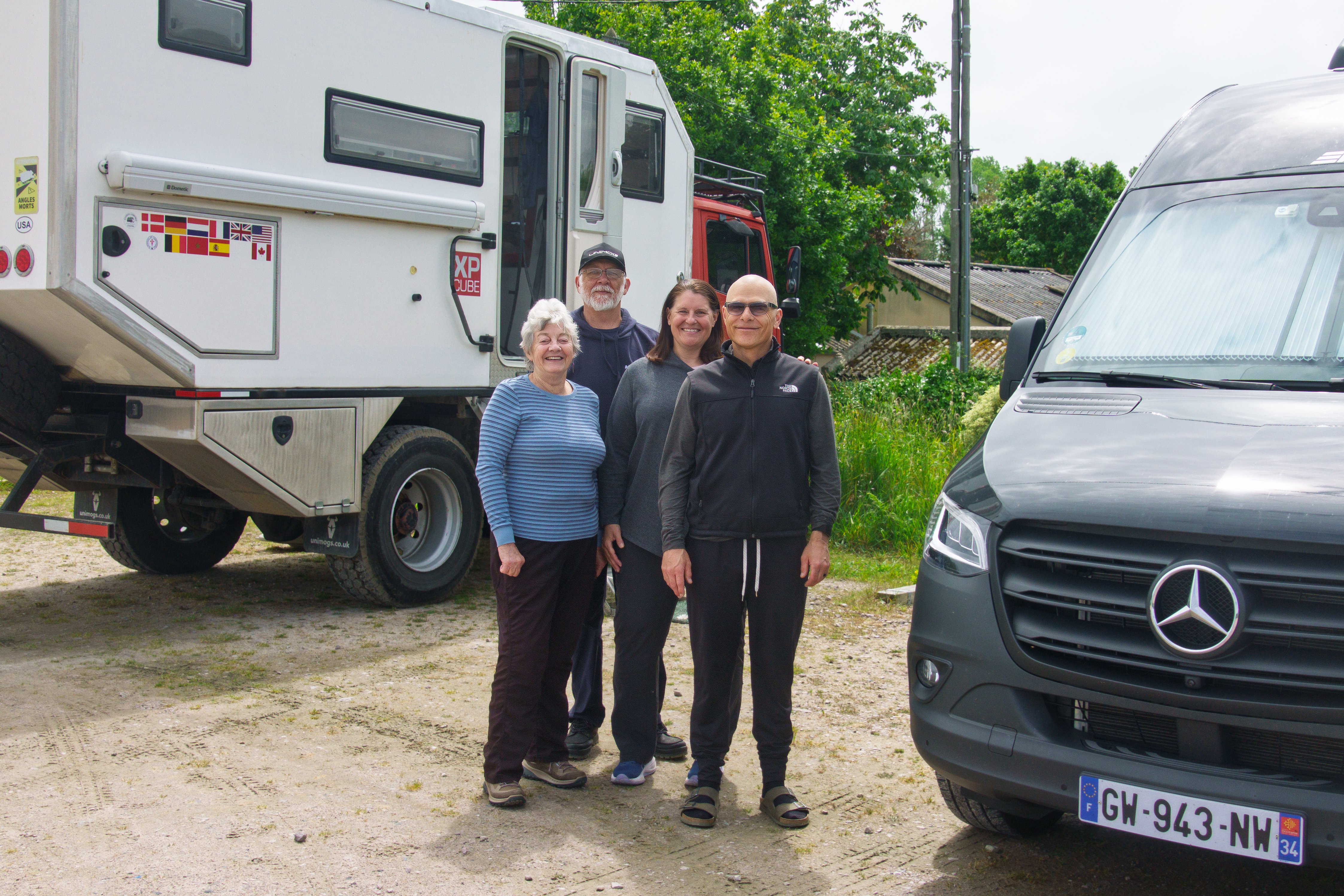
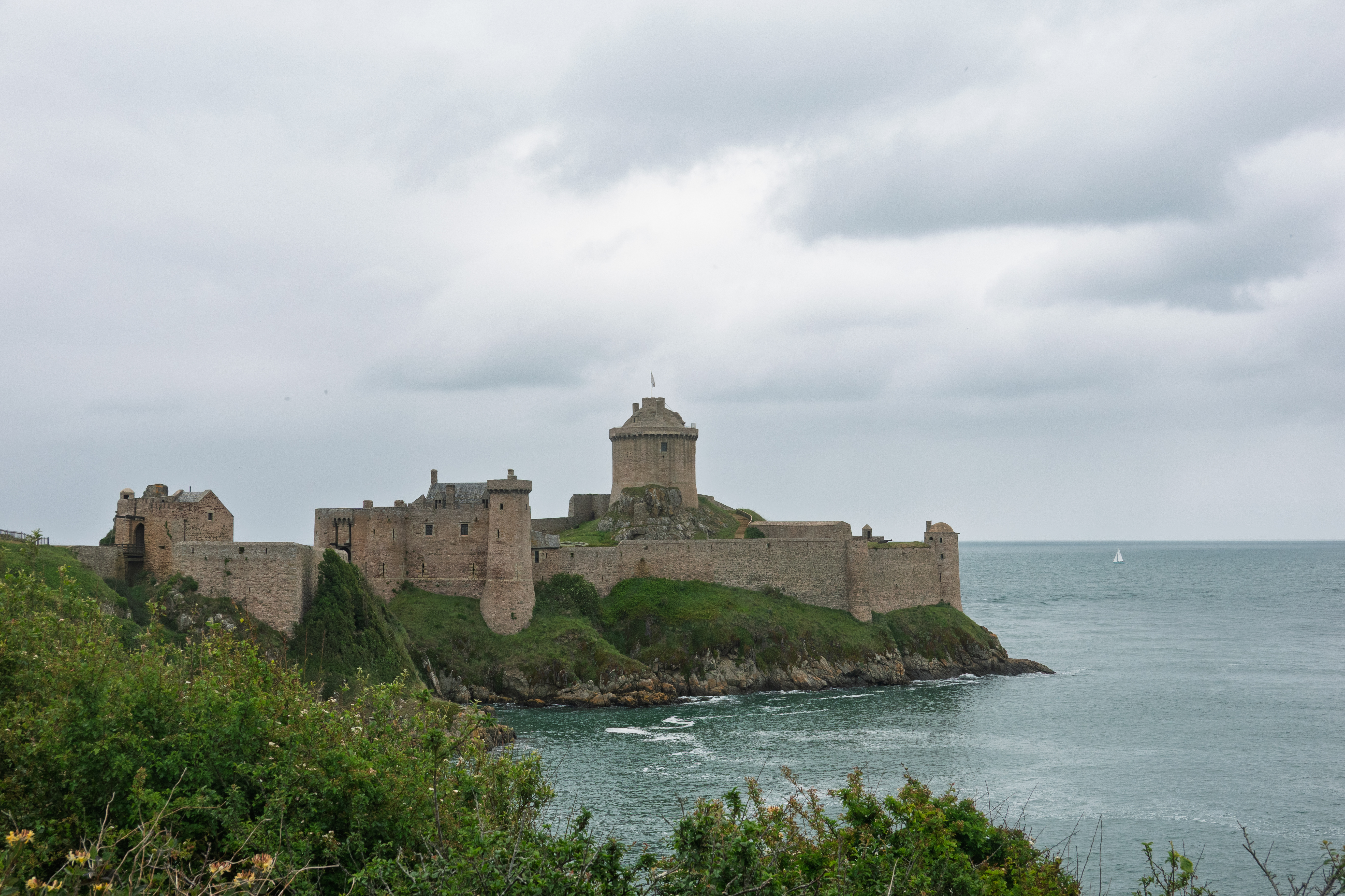
We were now heading north towards St. Malo to take the ferry to Portsmouth. But first we were going to visit Fort La Latte, a fort which had appeared in various movies, one of which, “The Vikings,” Fred had seen. (https://en.wikipedia.org/wiki/The_Vikings_(film) ) We met up with some old friends at the aire.
We have known Tony and Tracy since our Tiger days and it was great fun to see them again. (https://tofuscramble.blog/ ) Tony and Tracy had one of the best equipped Tiger Adventure Vehicles and we used their truck as a model for much of ours. We last met at a Tiger rally at Camp Hale, in Colorado.
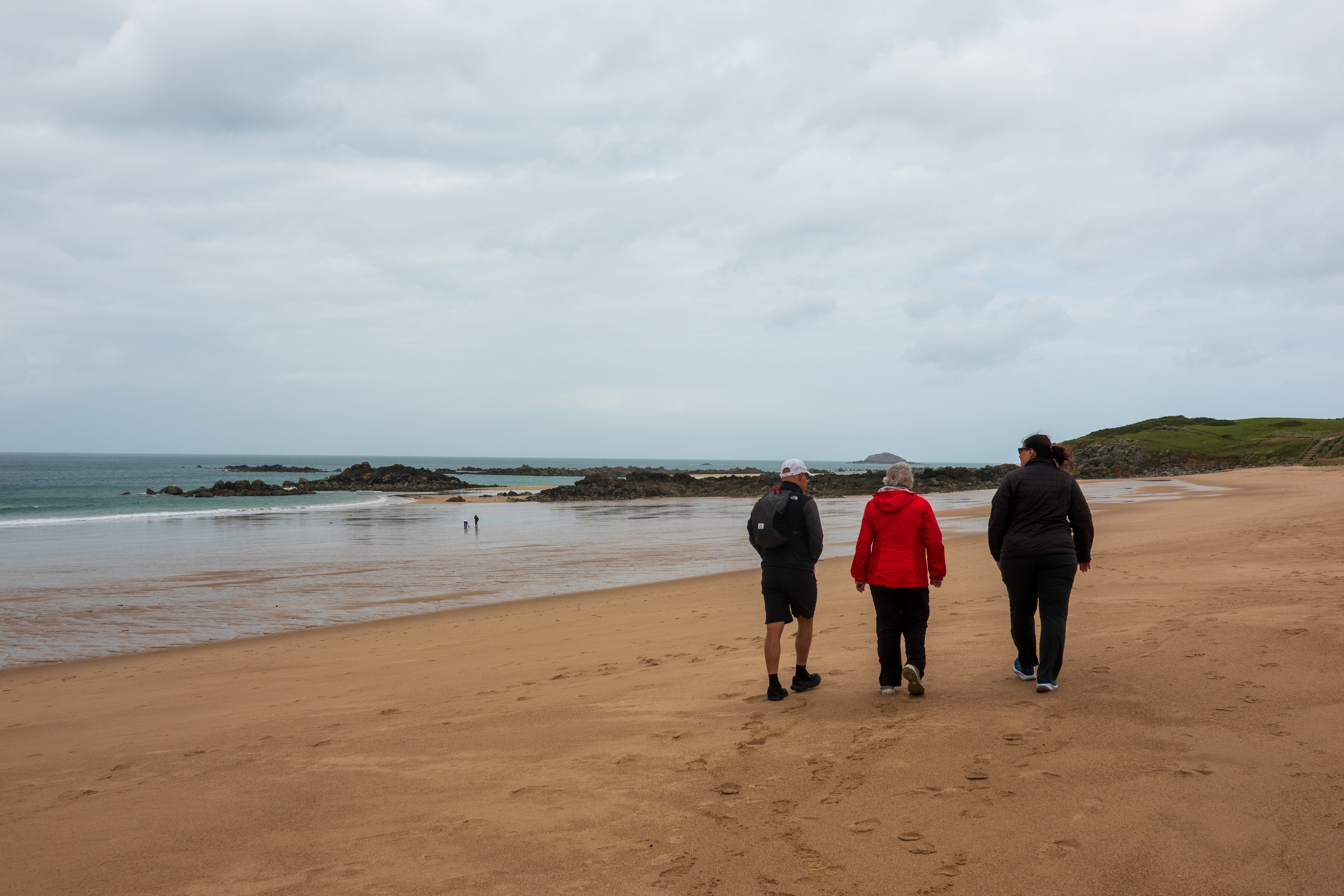
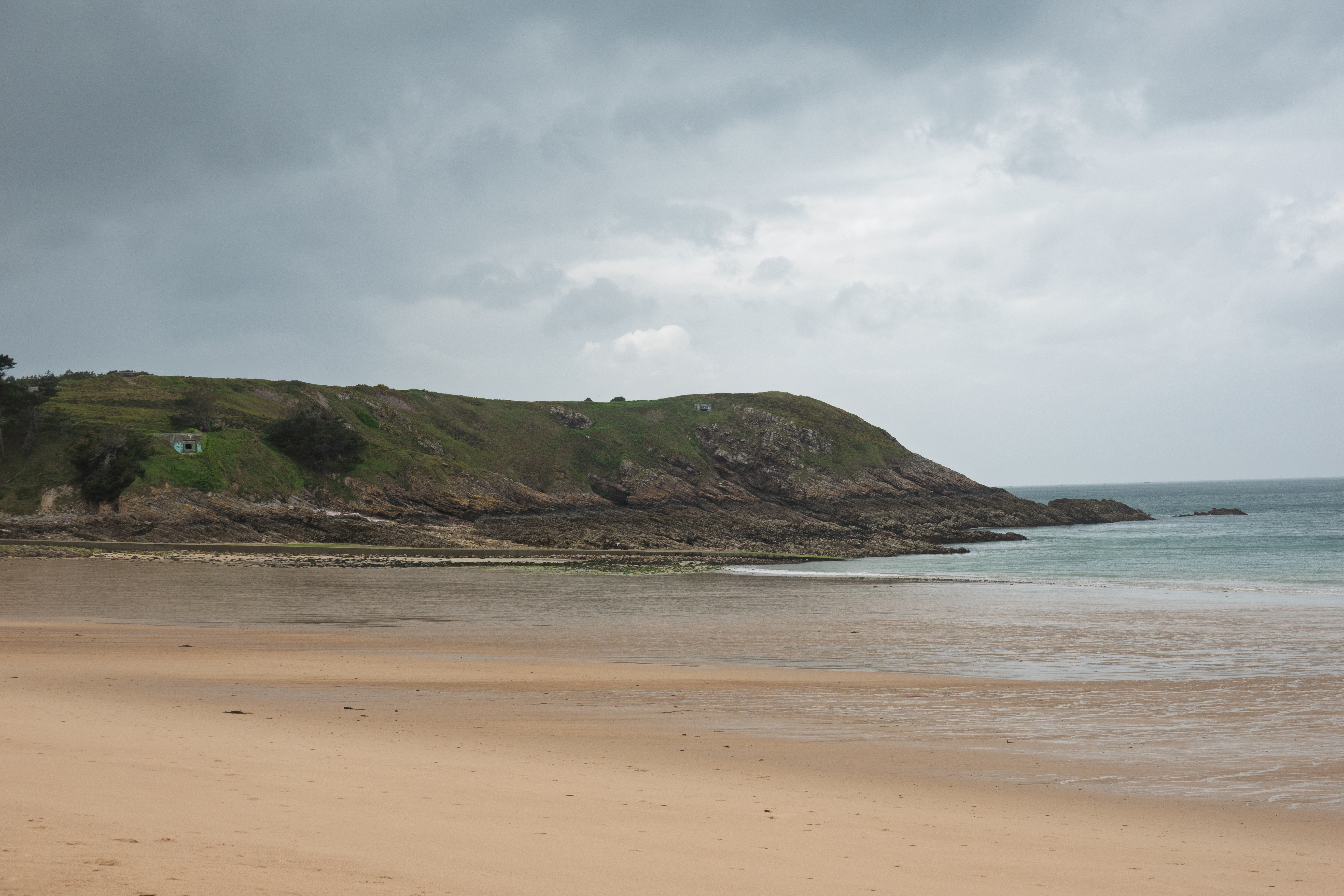
The weather was still suspect but we all went down to the beach for a walk and admired the beautiful bay.
Bit nippy for swimming today!
With all of the focus on Normandy, it is easy to forget that the Nazis fortified the Brittany coast as well. Click to see the bunker on the hillside.
The following morning, we headed for the Fort. It was still cloudy and cold and rain threatened so we headed to the Fort in Tony and Tracy’s Ford Transit camper van. We were their first passengers!
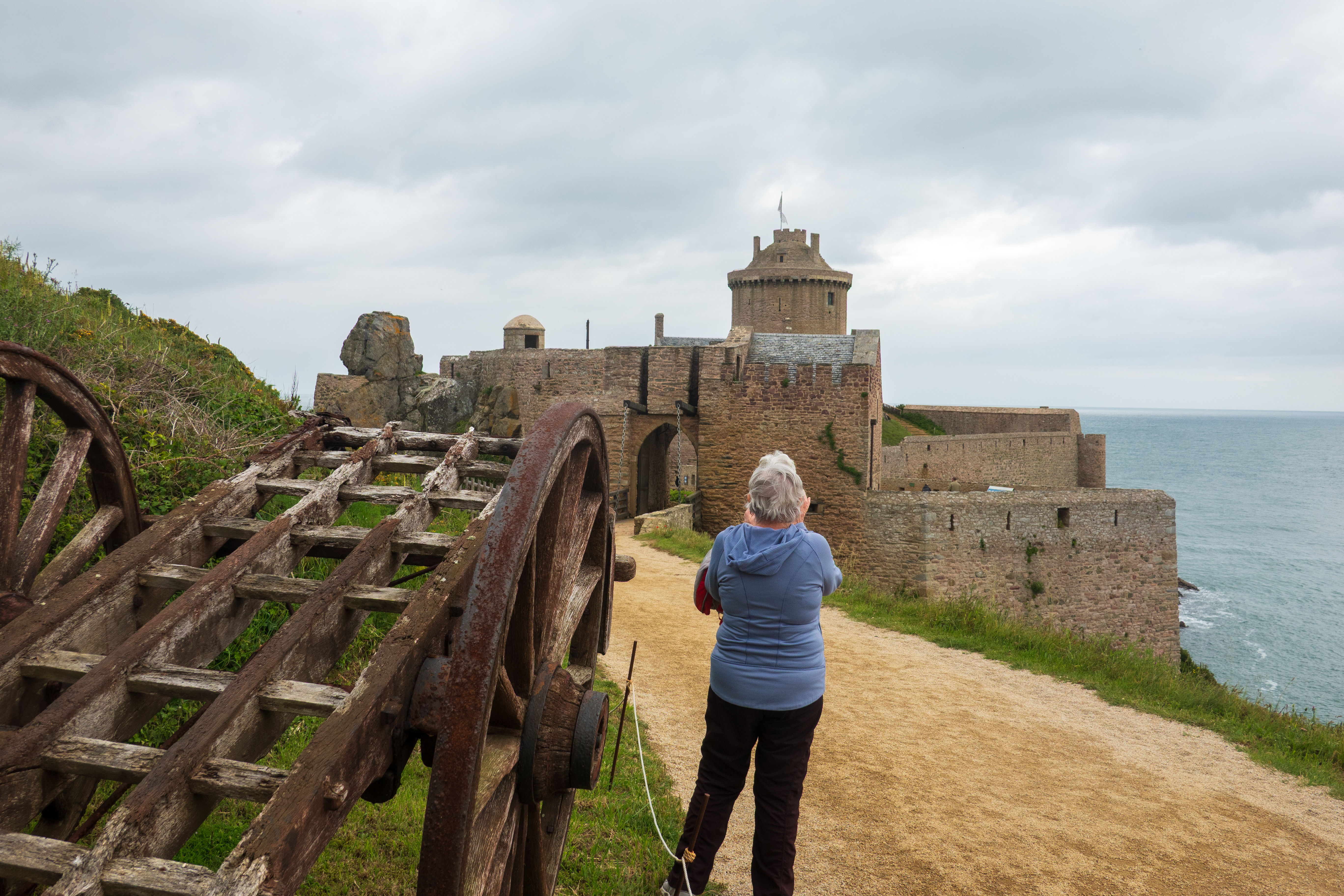
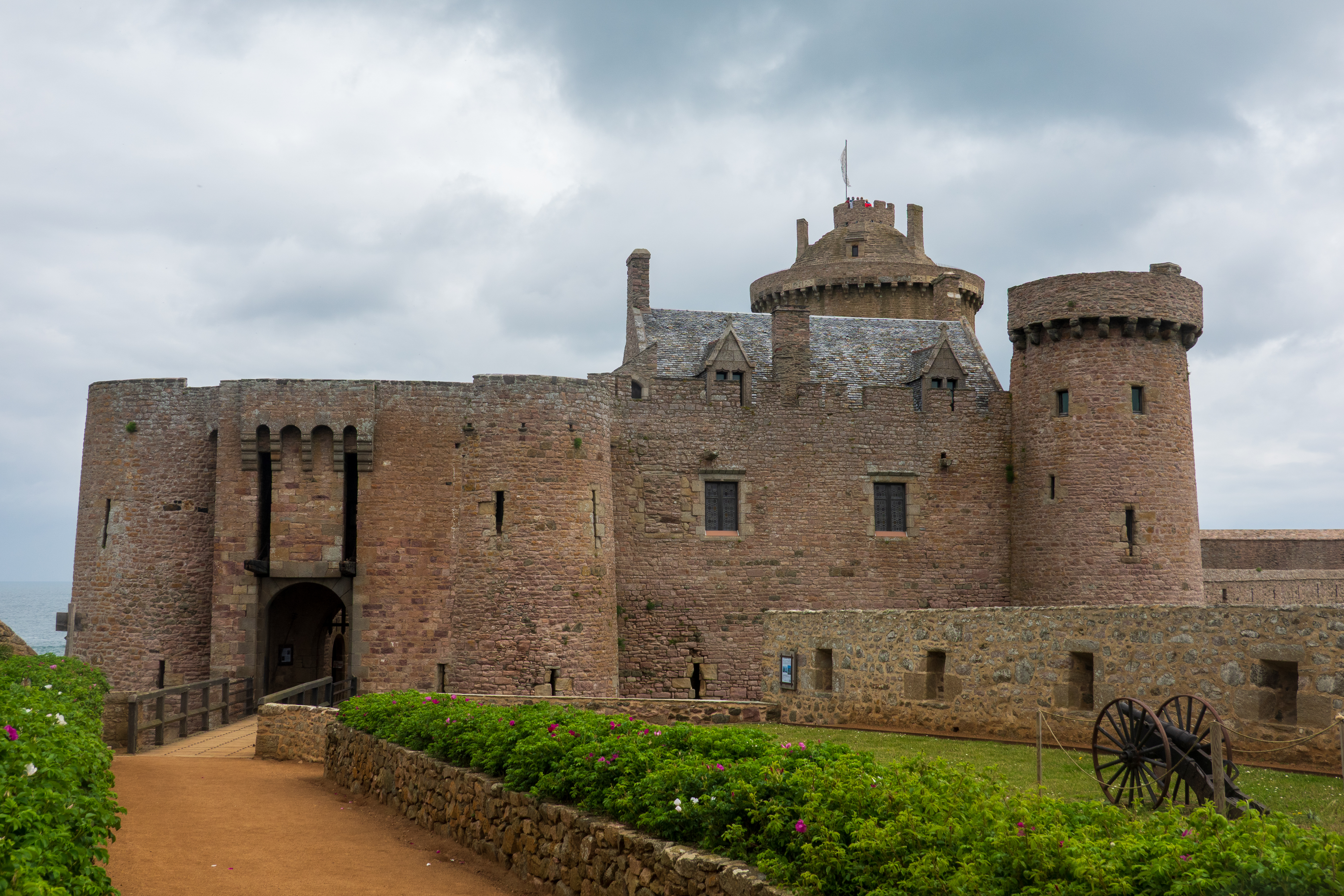
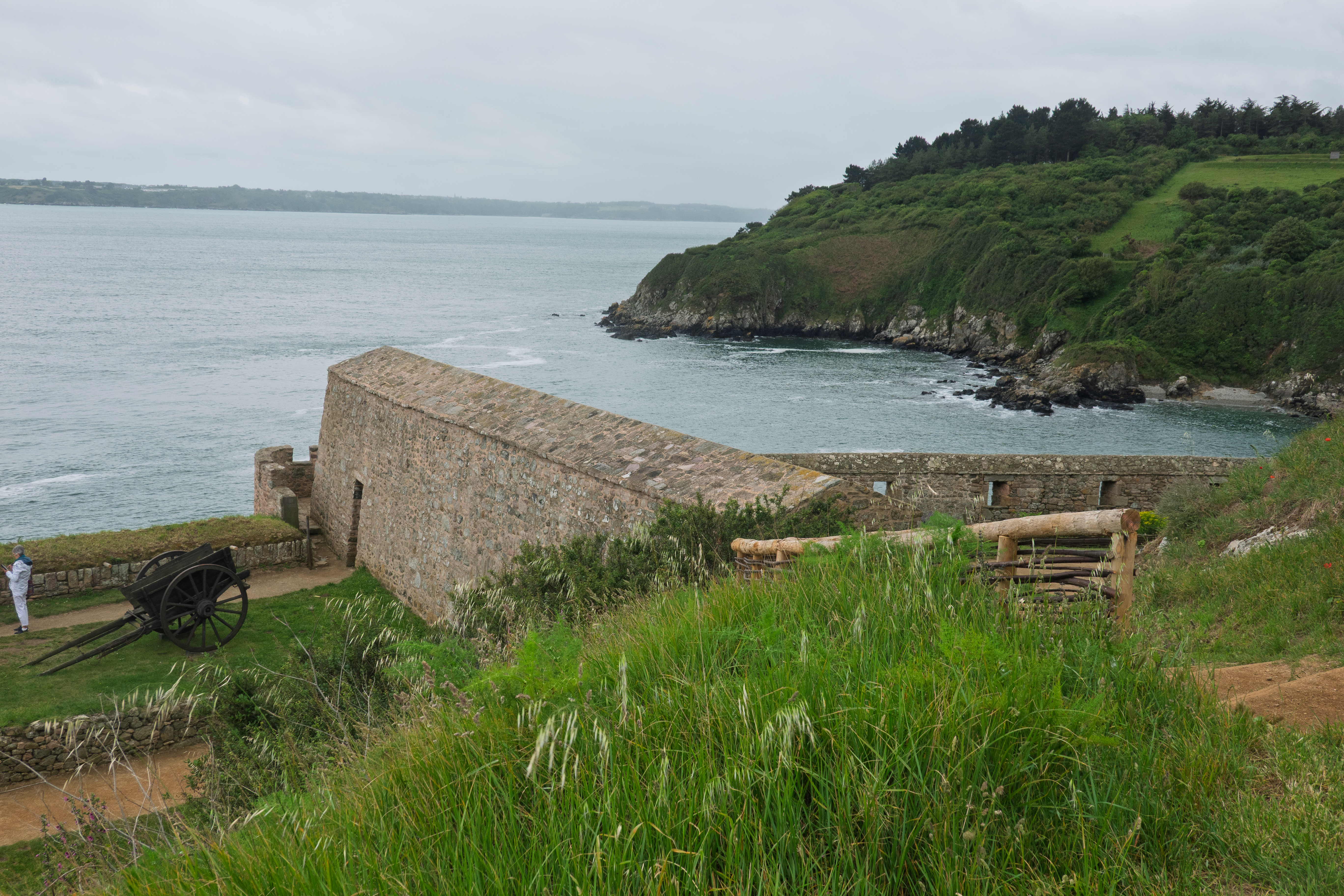
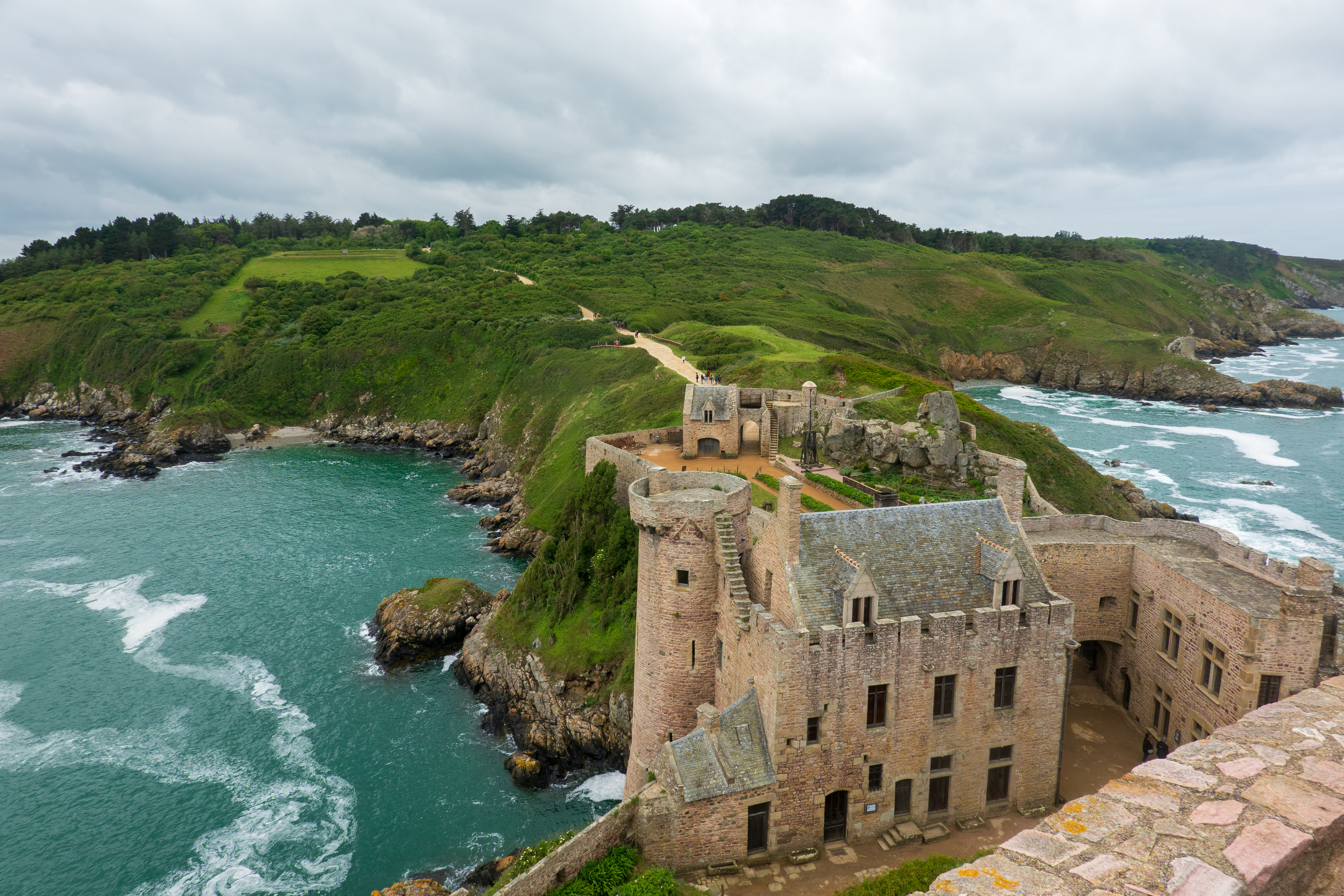
The Fort was fascinating as it is privately owned and the family still lives in the chateau de la Roche Goyon, which is part of the complex. We managed the visit in the dry and climbed up the towers for gorgeous views of the coast.
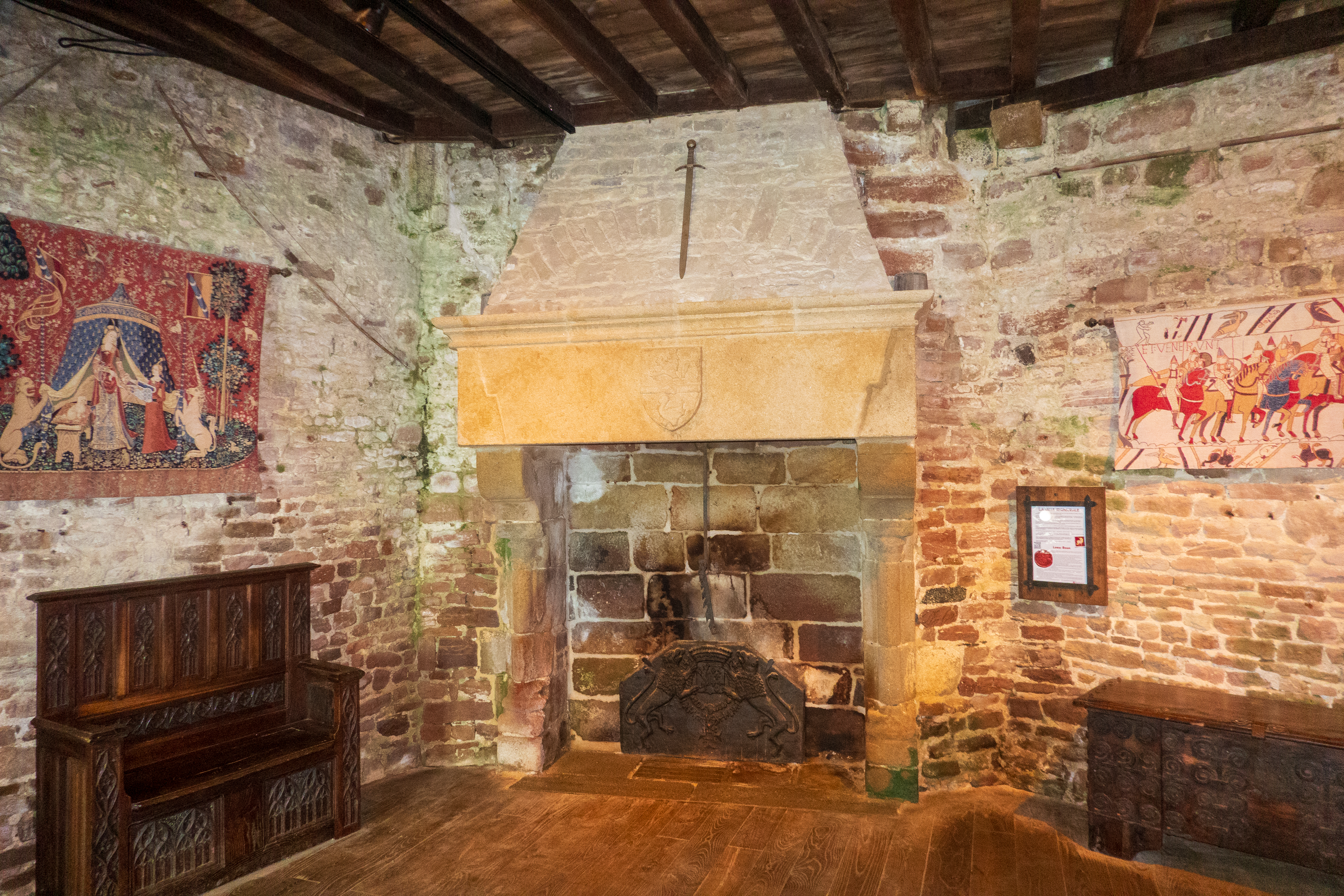
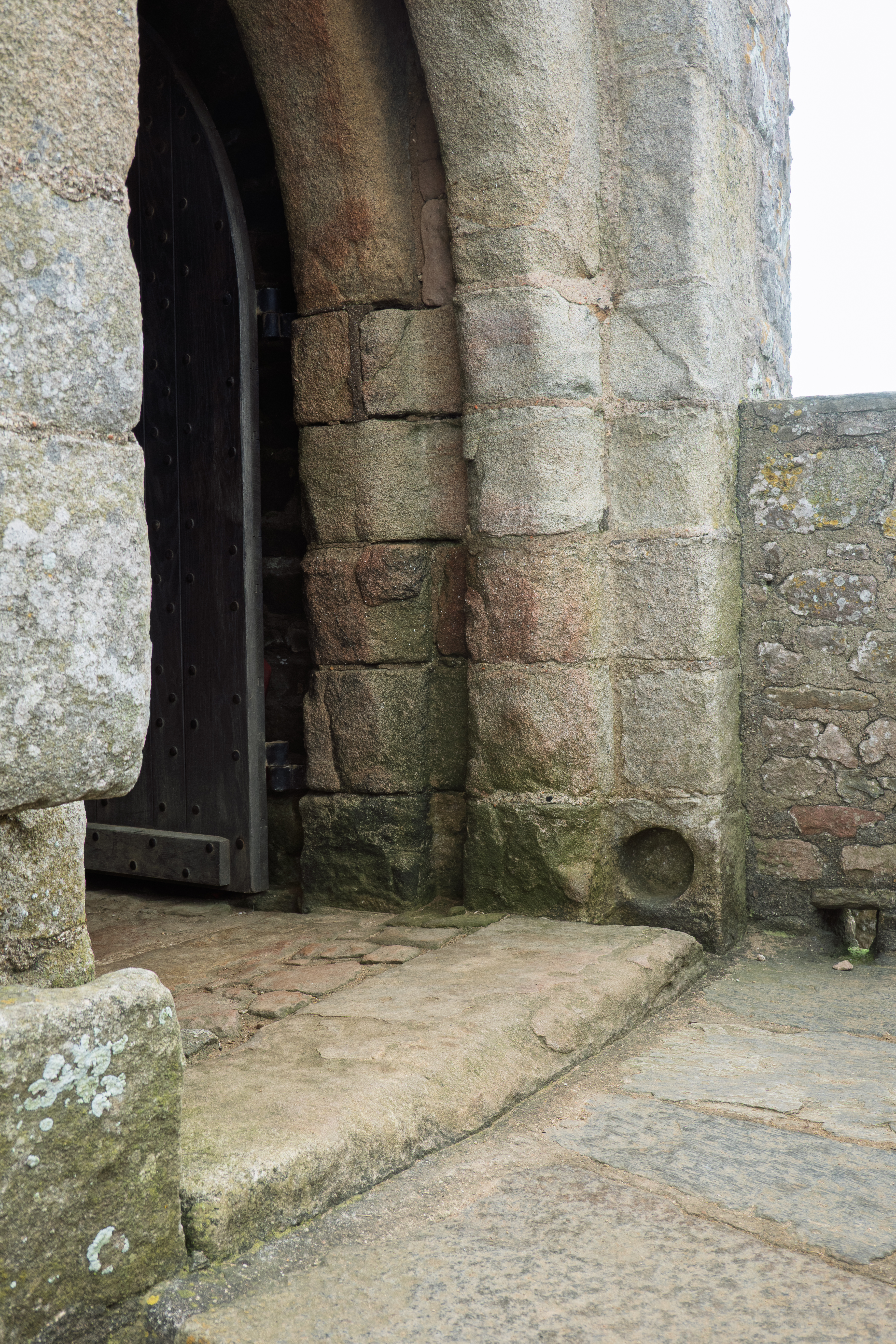
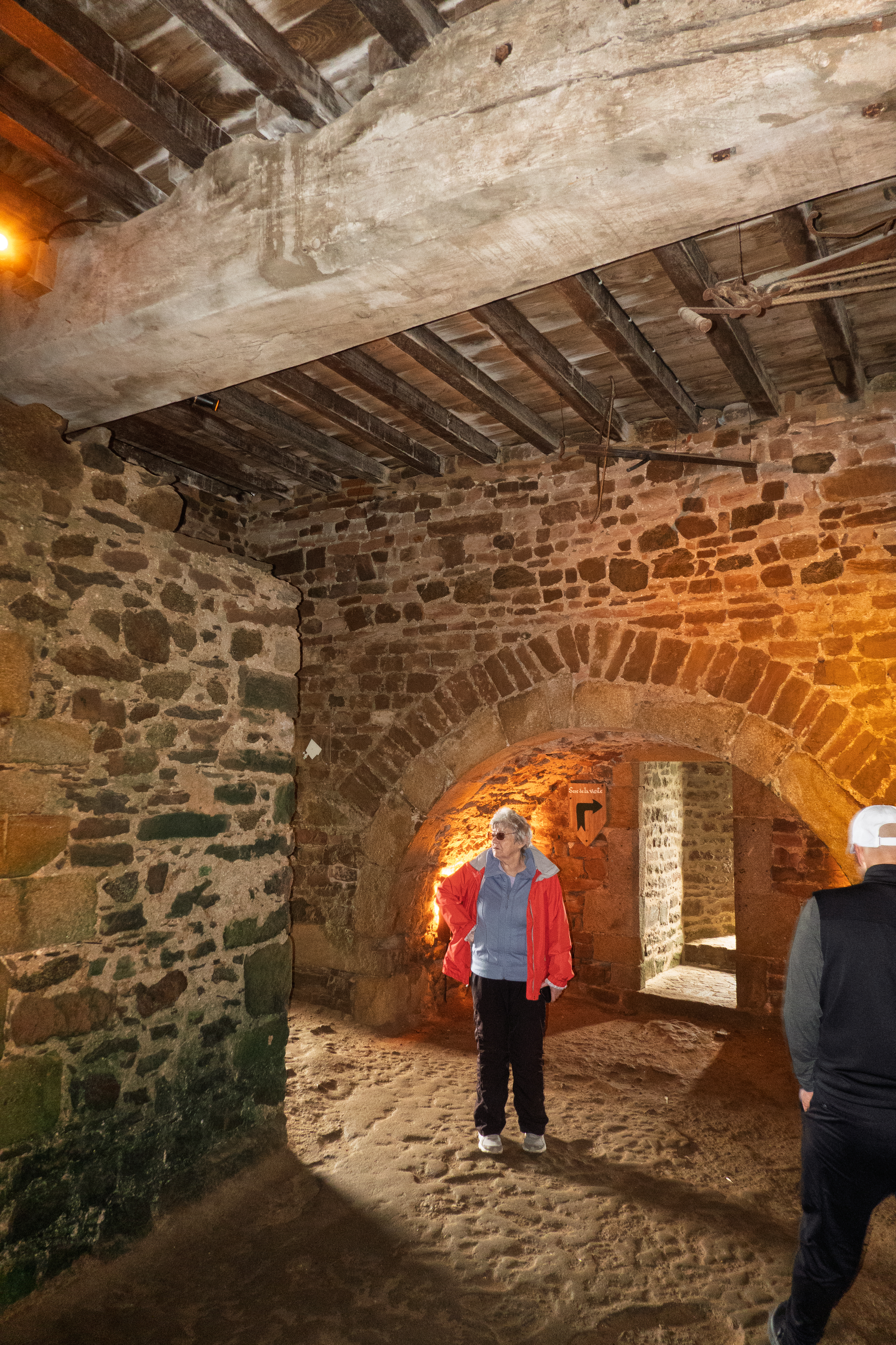
The plaster and wall hangings are gone, but this would have been a warm and comfortable room.Pivot for drawbridge to the keep.
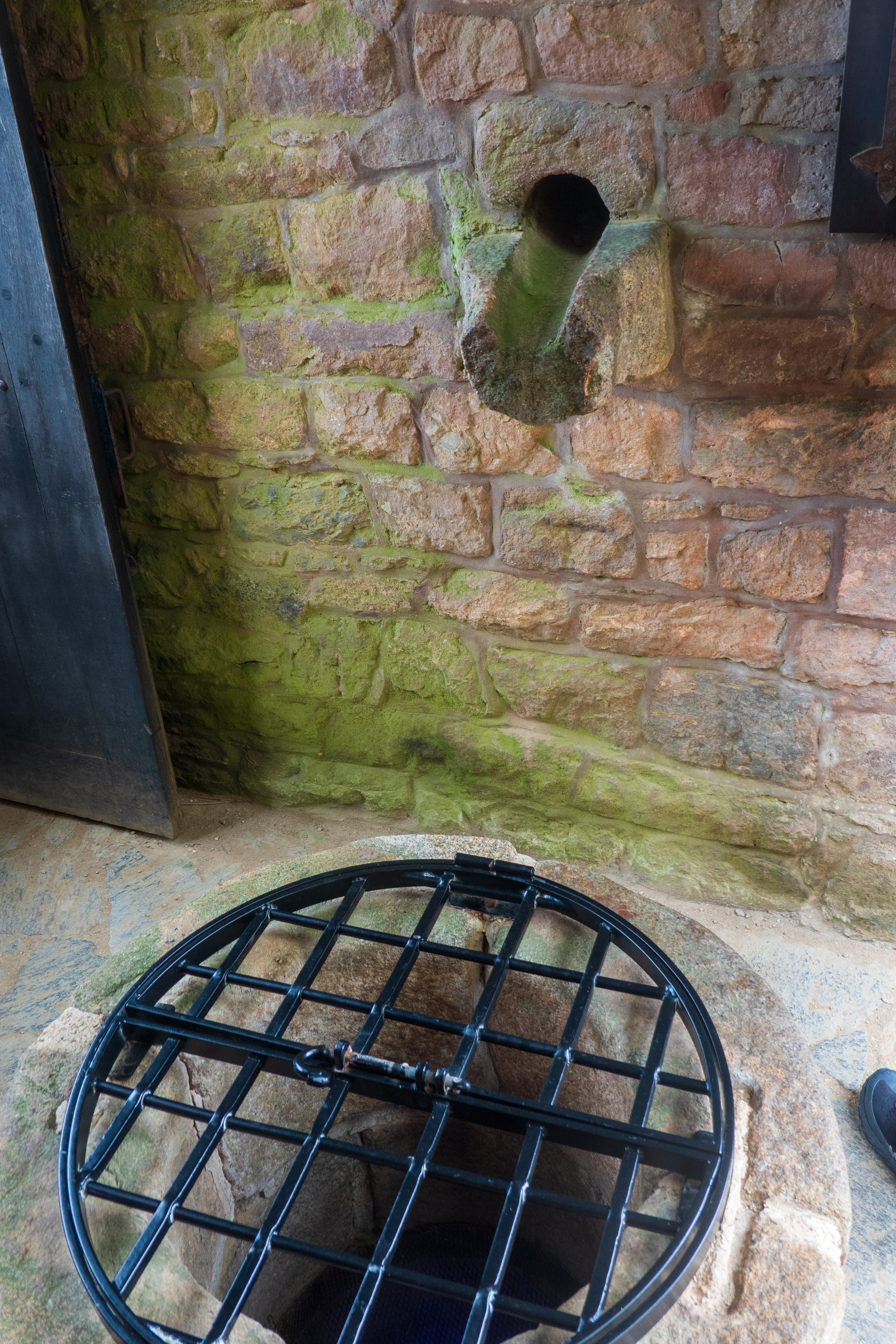
Spout to send rain water from a roof into a well/cistern.The gate struck by the ram/axes in the movie.Unusual feature, a wall across the inner ward, added in the 1800’s, to stop cannon fire from attacking ships.
The castle is, of course, completely anachronistic with the Viking age, but is an amazing structure in a dramatic setting. You can see why the location scouts selected it.
Looking inland from the top of the keep, site of the climactic duel in the movie.
After lunch we headed out and went to St. Malo to the large car park, near the port, where Park4Night said we could park. The sign at the entrance said “no camping,” but there were at least two dozen campers there for the night and no one said anything. We had visited Saint Malo previously, (https://diplostrat.net/2023/10/17/chez-les-bretons/), so we settled in for dinner, enjoying the serenades of the passing trains and the local bagpipes school. (!!)
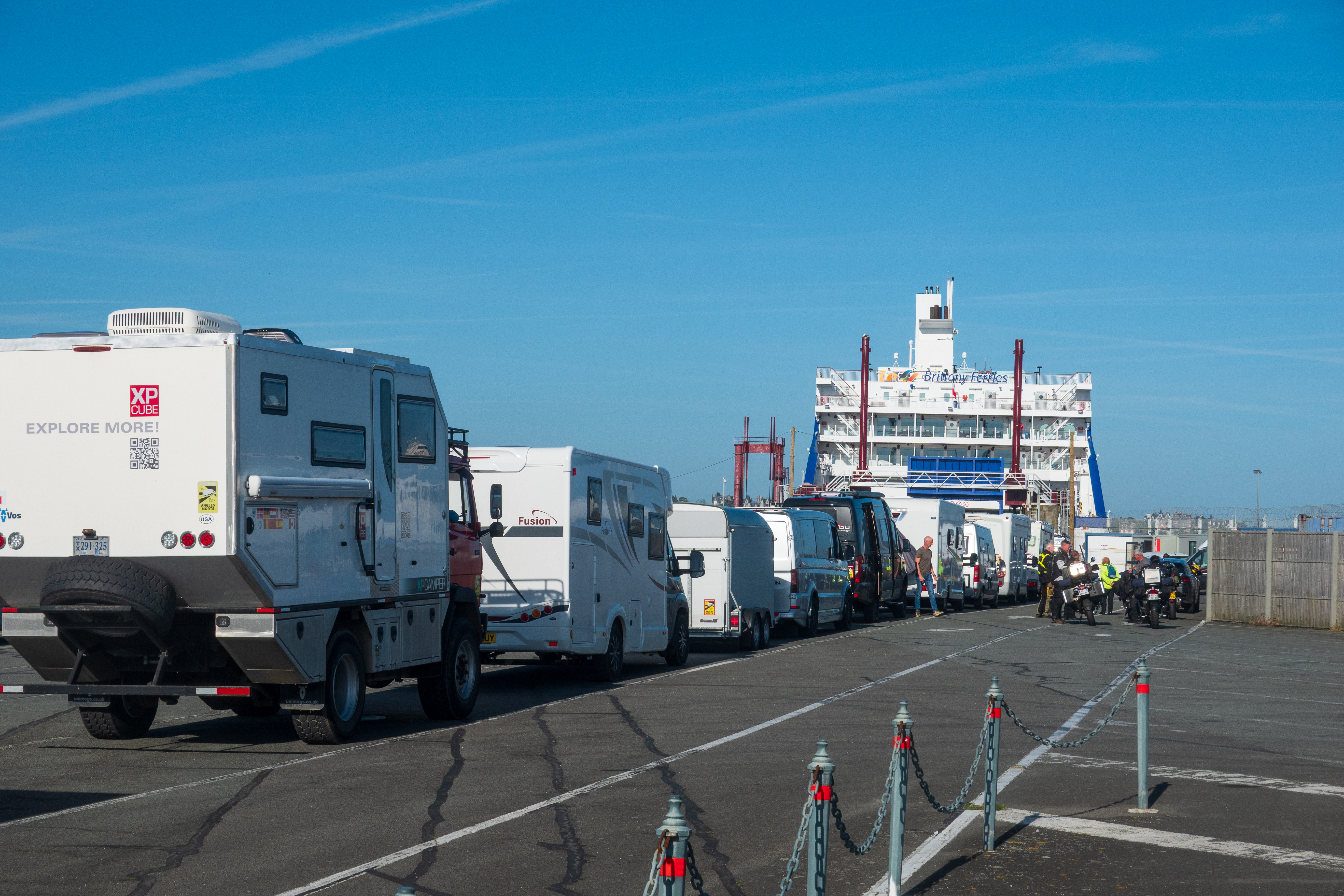
We headed off early the next morning in brilliant sunshine, which was nice after all the rain! We got checked in and loaded and had a very pleasant and calm crossing.
We have gotten quite good at the “Sittin’ on a Dock of the Bay” routine.
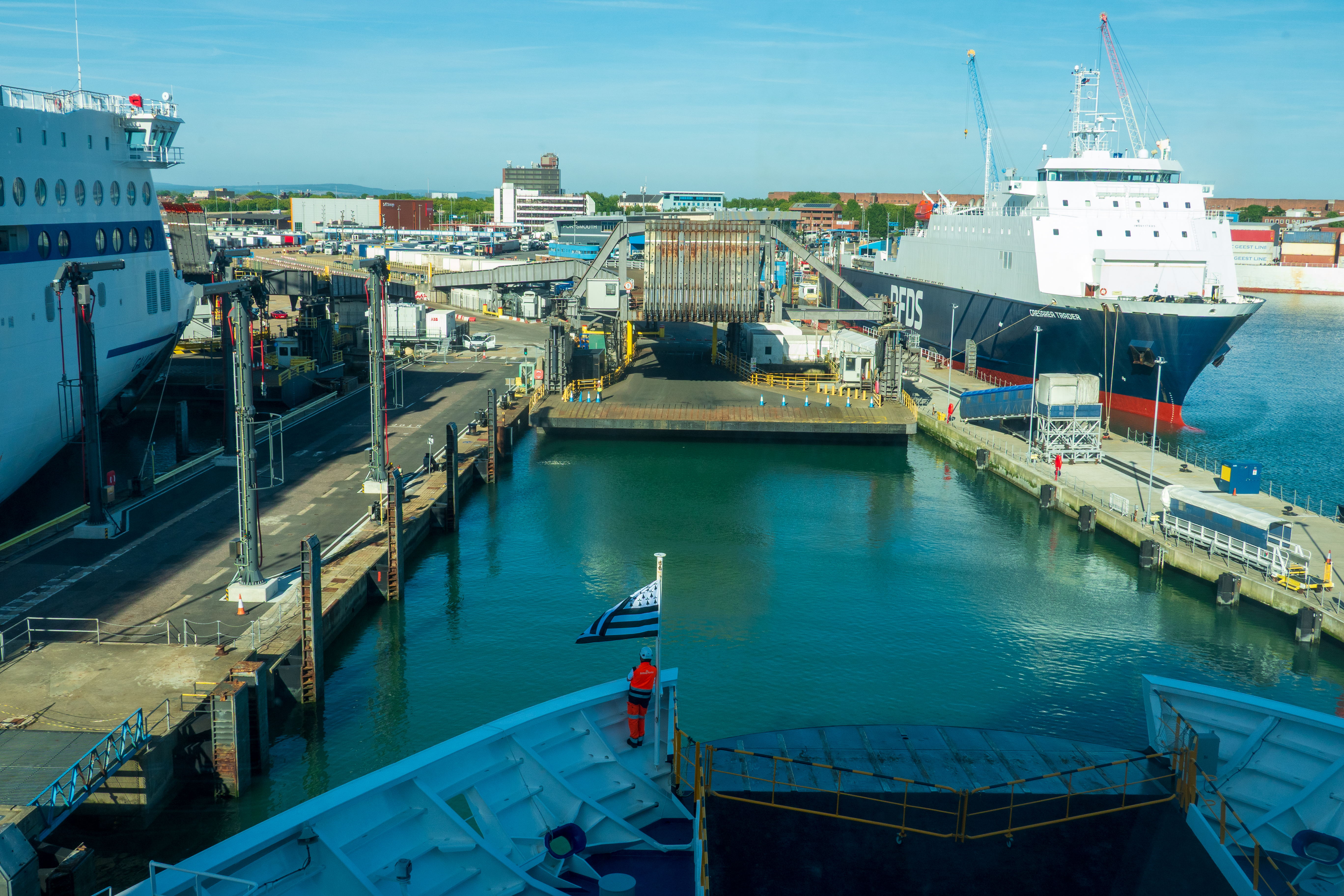
Docking in Portsmouth
We were on time and easily made it to Denise’s brother’s house.
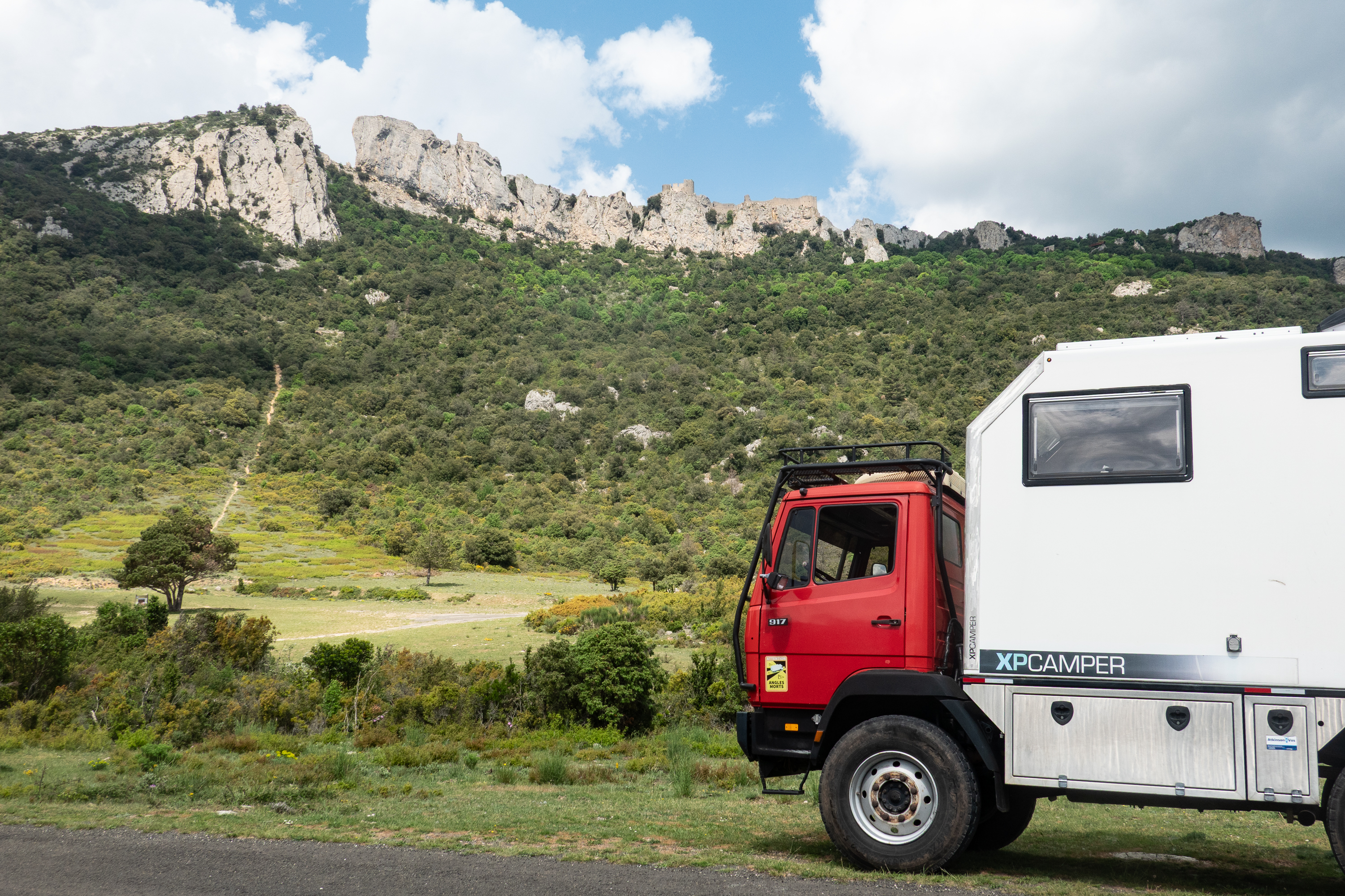
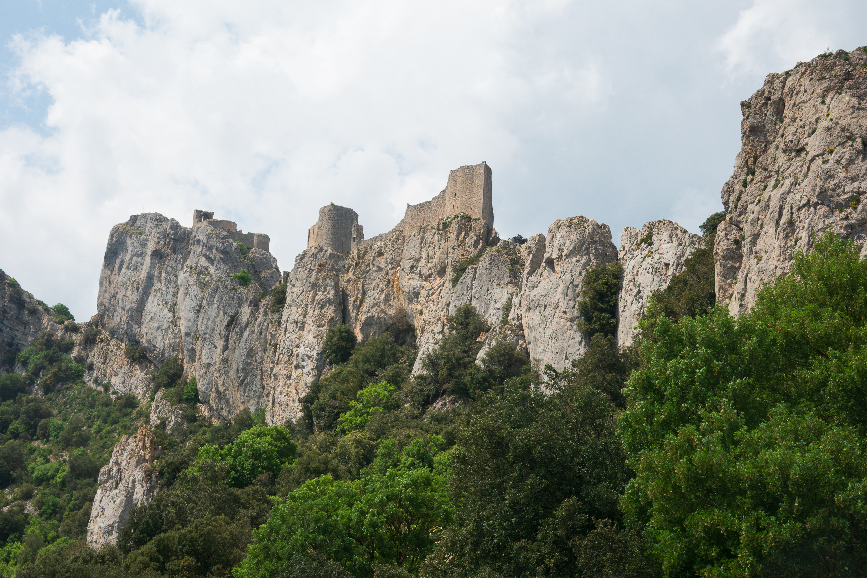
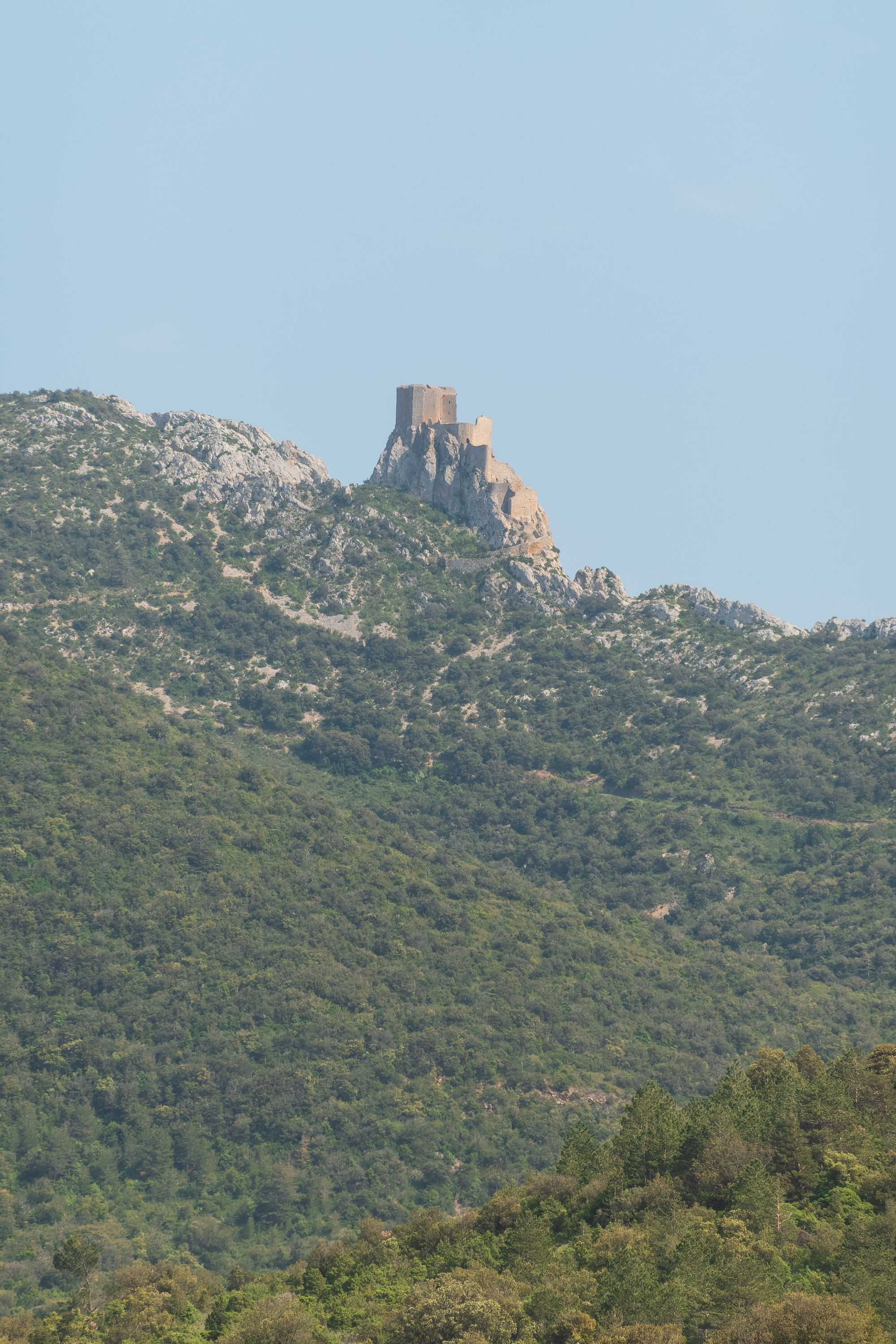
Back in France, our first stop was to visit the Cathar castles above the medieval village of Duilhac, about 45 minutes from Perpignan. There are two of them, Queribus, which we saw from afar, and Peyrepertuse, which is the larger of the two. Peyrepertuse is perched 800 meters high on the hill top, and blends in so well with the limestone rocks, it can be hard to see. (https://www.peyrepertuse.com/en/)
Can you recognize the castle? Click to zoom in.
To get to the village, we drove up a steep, winding mountain road, which was mostly one lane. It was rather exciting each time we went around a blind corner and met a large truck! There are, of course, no guard rails. Given tourists and the number of wineries around, there are lots of trucks and busses that share the road. A very sporty time share, indeed.
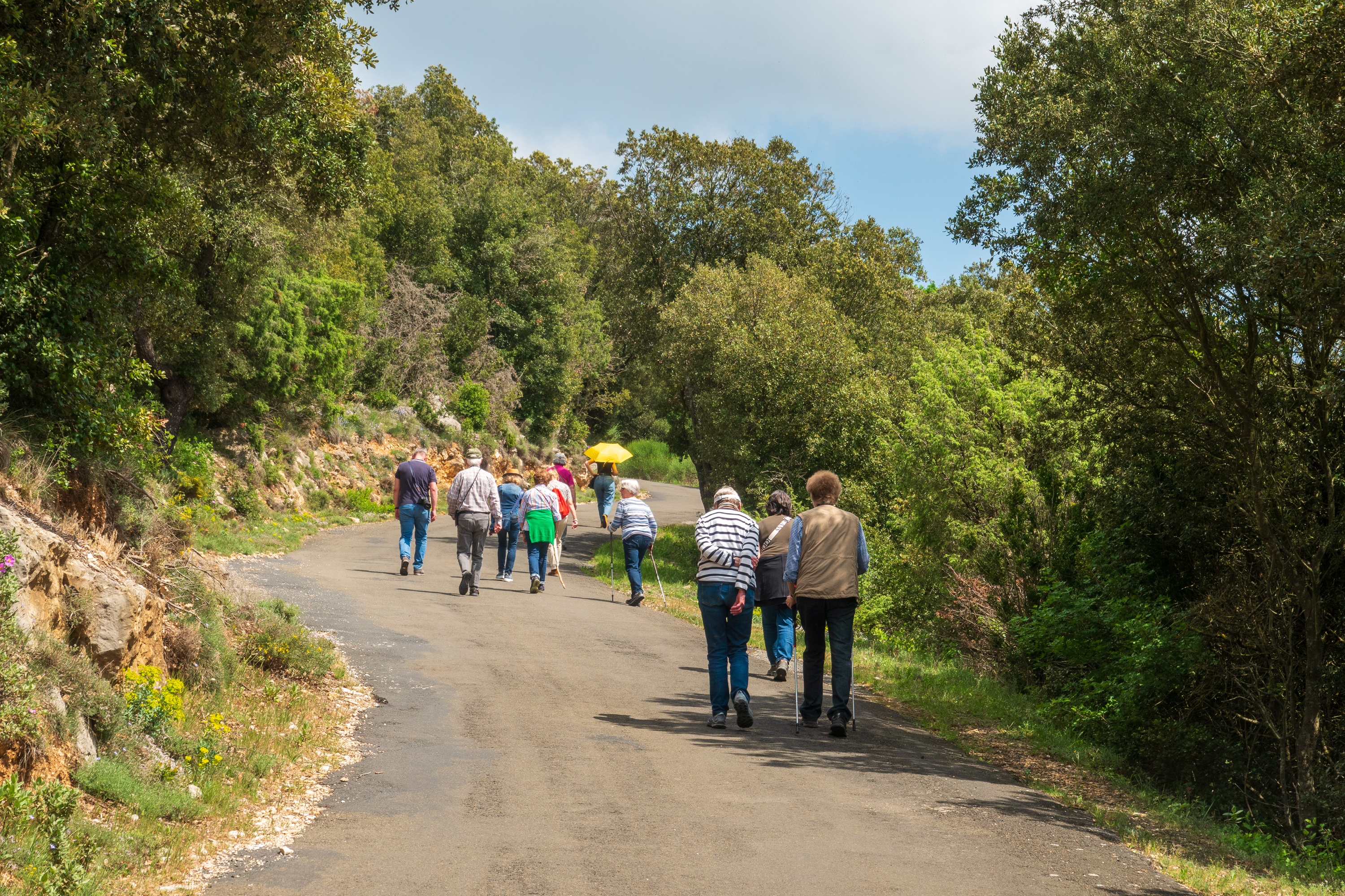
There is an aire at the base of the mountain but, on the advice of some of the other camper owners there (who were younger and fitter than we were!), we drove about half the way up to a lot provided for bus parking and with space for turning around. We considered the GoCycles, but were unsure of the road surface – we feared gravel, and conscious of the fact that the front wheel drive can slip on steep climbs. So we drove up and parked, and set off to walk the rest of the way along with a number of Germans from a bus, that had preceded us up the mountain. The road was perfectly paved – we could have ridden it. Oh well.
It is so much steeper than it looks. Our ancestors must have been in great shape!
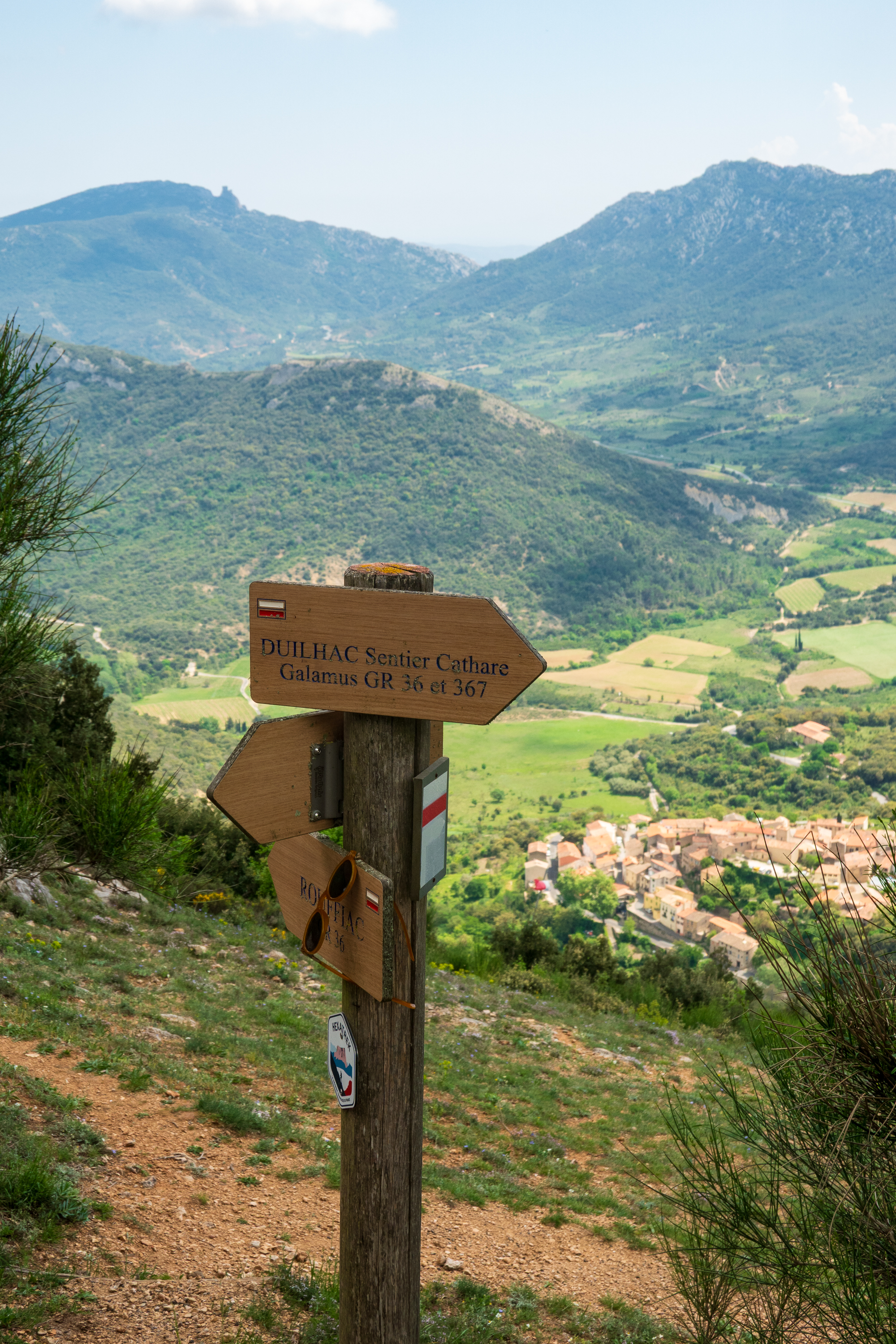
View of Duilhac, way below.
The road continued winding and was really steep. The 300 to 400 meters seemed a long way and we were very tired when we got to the ticket office. We had been warned that after the ticket office, one had to climb another 100 or more steps to reach the ruin and we decided that our view of Peyrepertuse was going to be just fine from below!
There were amazing views, both of the castle and of the valley below it, stretching to the second castle, Queribus.
All the books mention that castles were often on hilltops to make them harder to attack. This one is a prime example.
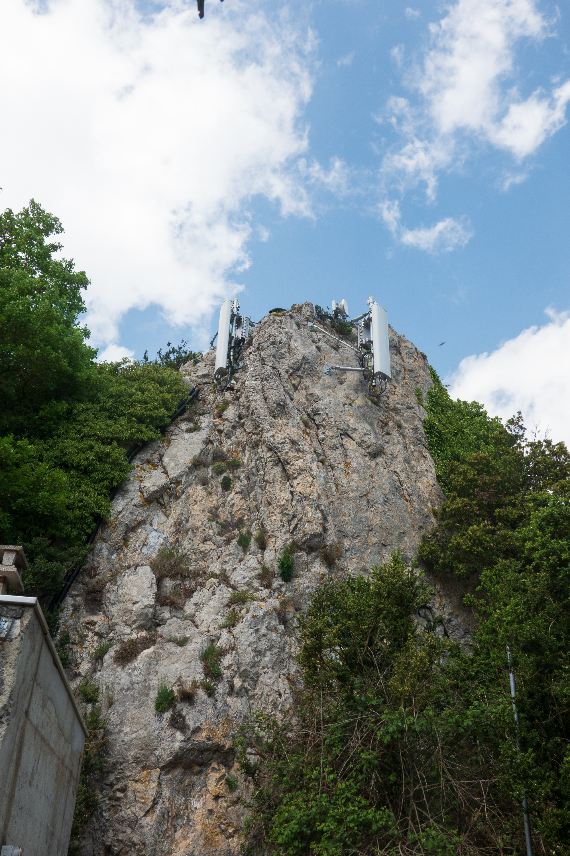
Medieval cell tower.
Queribus on the horizon.
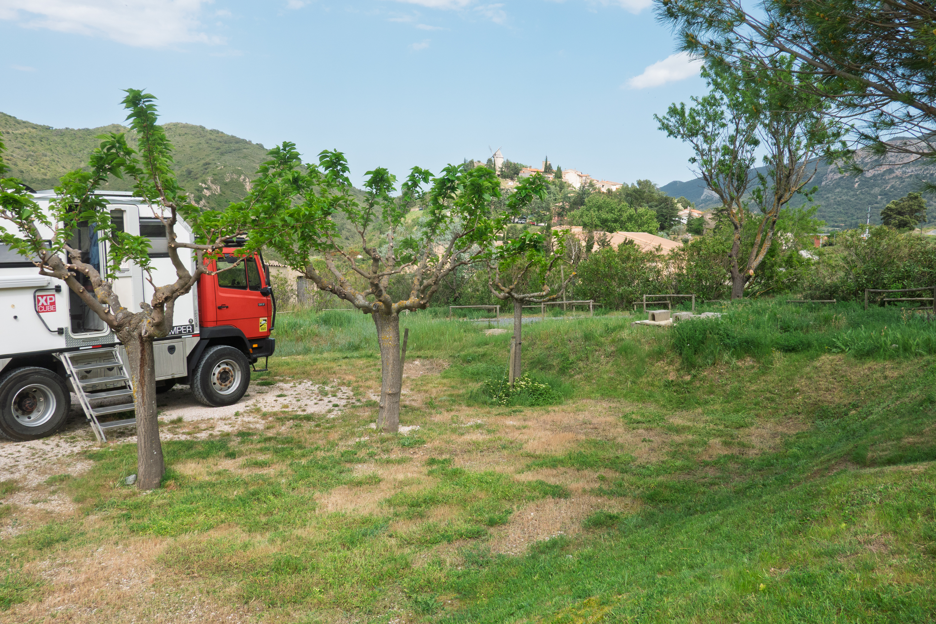
We walked (staggered) back down to the camper to repeat the drive down the mountain. We had stopped at a winery, Peter Sichel, at the village of Duilhac for information on our way up. (https://domainepetersichel.com/ ) It turned out that they were members of France Passion, so we skipped the aire and continued back down to the winery and went inside for a tasting and permission to stay the night.
There were vineyards as far as the eye could see! Most certainly a wine region. We enjoyed our tasting and bought a couple of bottles to enjoy. An extraordinarily light red wine.
“Free” camping – just buy the wine.
An absolute picture postcard village.
The next morning, we headed north and went back to Bellegard to an aire where we stayed a few years ago.The aire is beside a canal, with many boats and houseboats moored. We put the bikes together and went for a ride down the towpath toward St. Gilles, which was fun.
The following day, after a stop at a large Carrefour shopping center for a food resupply, and a couple of loads in the WashMe, we headed to a campsite we had found online about 25 minutes from Trans en Provence.
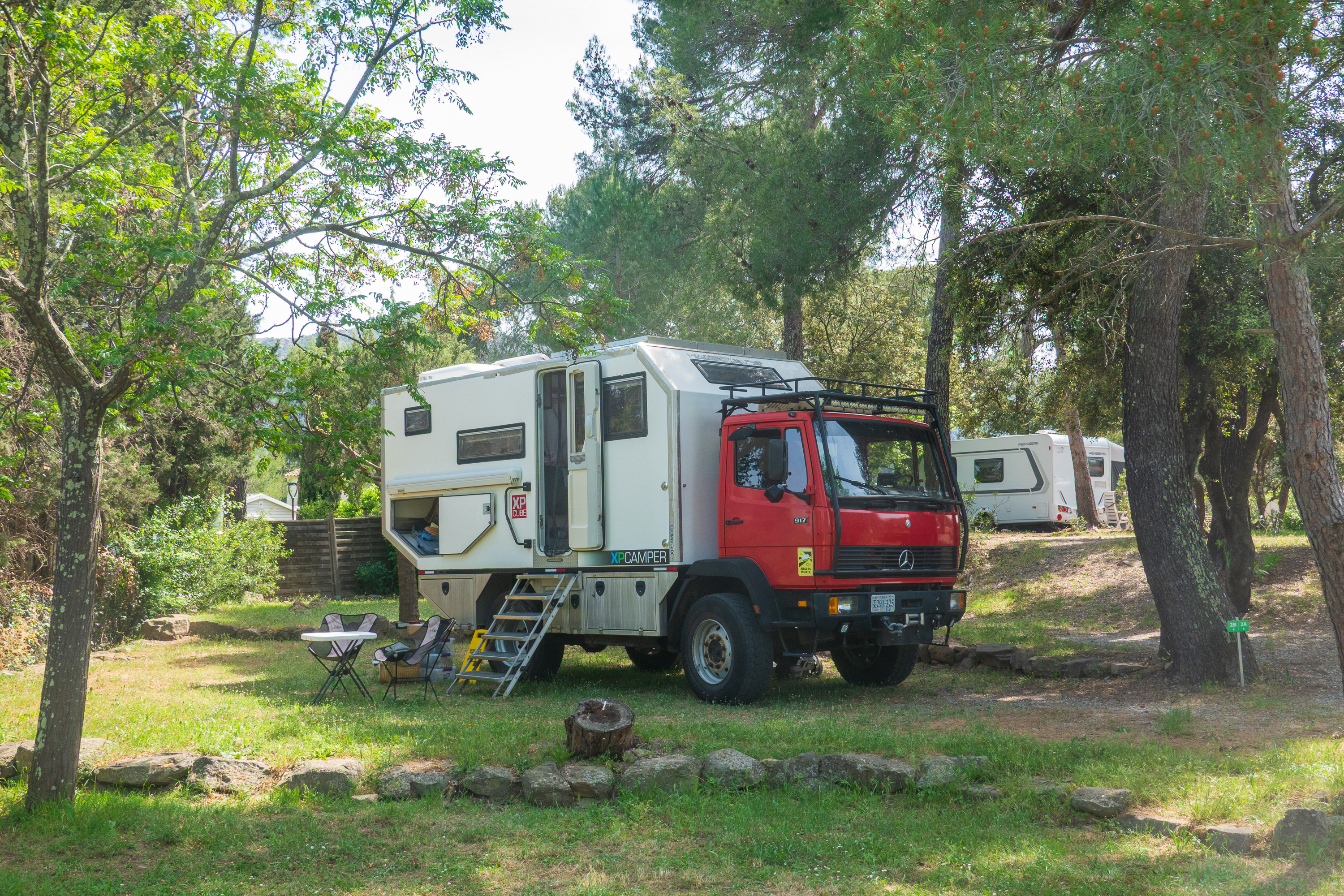
We had decided it was a golden opportunity to get some more work done on the camper body. It was a holiday weekend, May 1, and we were afraid that everything would be full. So we booked four nights in a commericial campground and planned to head to Avanoa on Monday morning. The campground proved to be run by a Dutch company, RCN Holiday Parks, and it was just lovely. (https://www.rcn.nl/en/camping/france/provence/rcn-domaine-de-la-noguiere)
They gave us a great site, miles from anyone else, they had wonderful washing machines (which we made use of before we left), a decent restaurant, a huge pool etc. It was too chilly to swim, at least for us, but we did eat in the restaurant once and enjoyed fresh croissants and baguettes. Plus of course we ordered Bitterballen for old times sake – favorite from our visit to Amsterdam. (We later learned that they import their Biterballen from Amsterdam!)
Although it was a huge, very commercial campsite, we felt like we were alone in the woods.
We completed the work at Avanoa at about 6.00 PM on a Thursday evening, before yet another holiday weekend, celebrating VE Day this time. The camper now has bright new aluminum armor/rub rails on all four corners to protect against trees, etc. Alexi accomplished his usual master work. Fans will remember that he remounted all of our roof fittings a few years ago: https://diplostrat.net/2024/01/07/when-it-rains-it-pours/
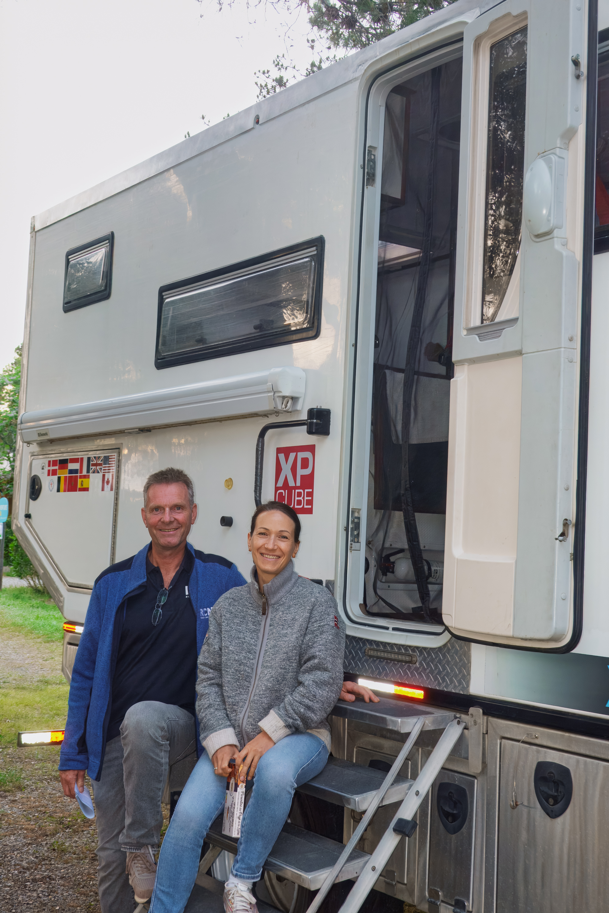
Too tired to go further we, returned to the RCN campground, put ourselves in the same site and headed for the restaurant where everyone greeted us with “you’re back!” This time we only stayed two nights though we ended up eating dinner the second night also. The next morning, we had a visit from the Dutch manager and a Headquarters visitor who sat and chatted for a half hour. That evening after dinner we also enjoyed a great chat with the manager and his wife, who came to visit us in the camper. Their son saw no reason to look at campers and headed of to play video games! And of course, we did more laundry, as the camp has lovely, big machines.
Lovely people, they brought us some wonderful local chocolates. We ain’t at the KOA.
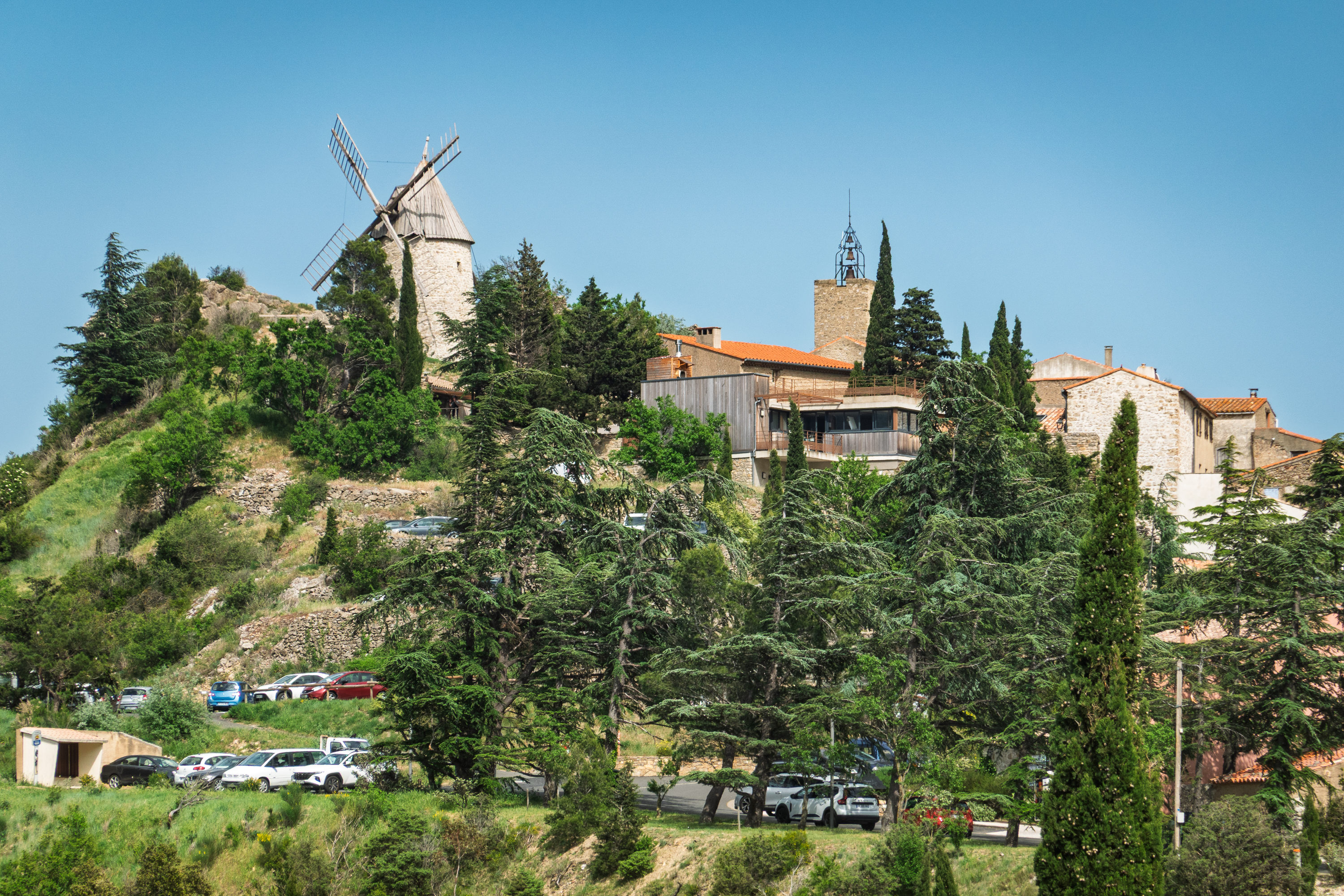
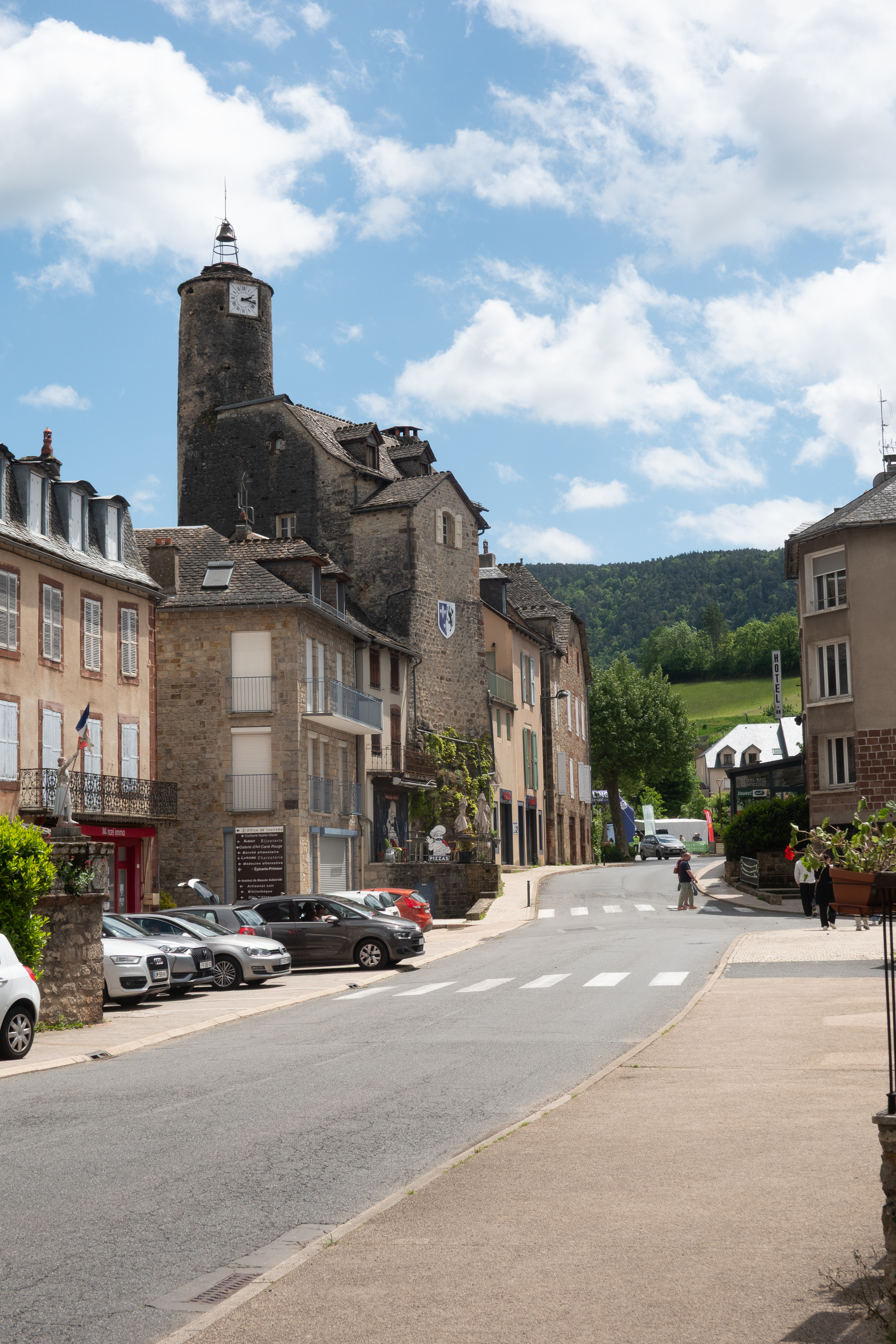
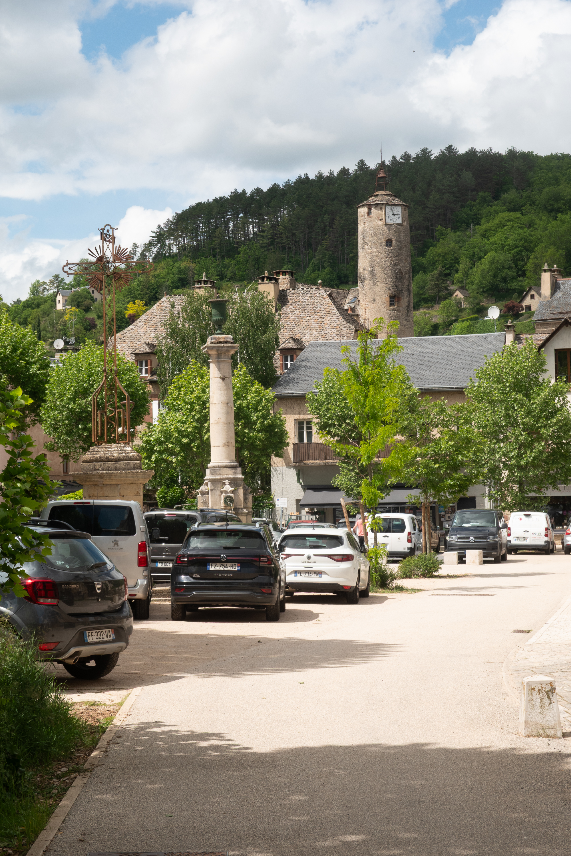
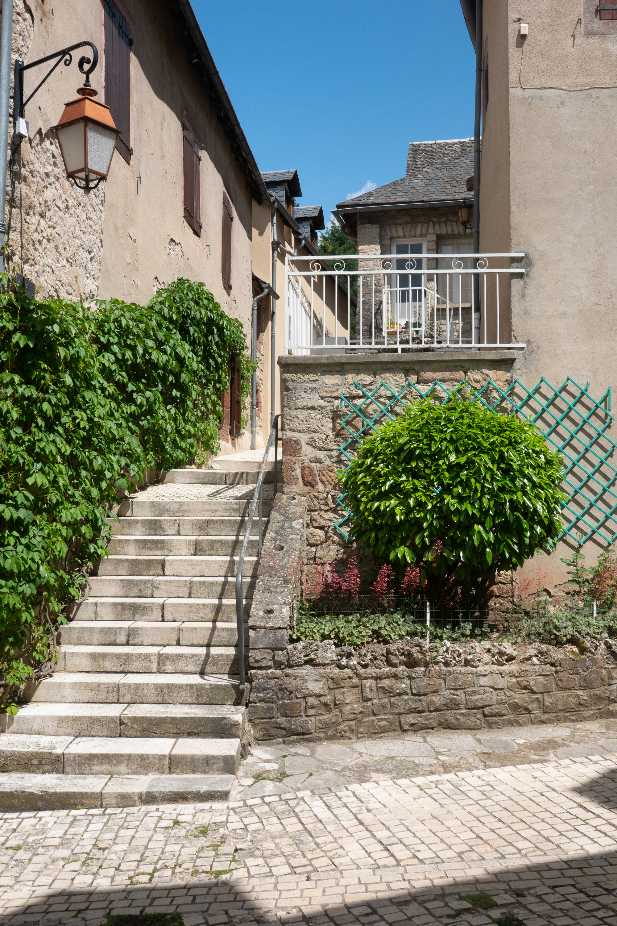
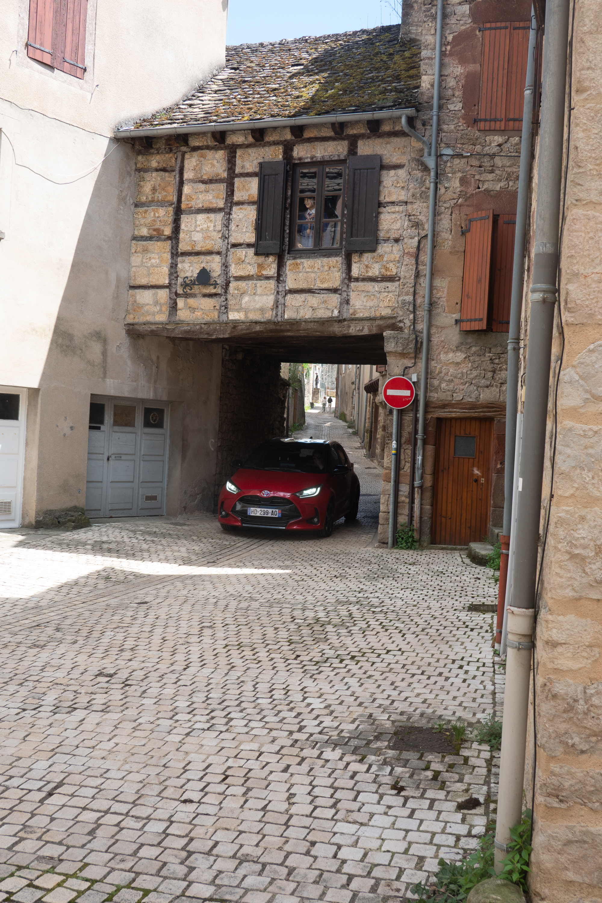
Then it was time to head north, and so we did. We were heading for a Wolf Preserve but first we stopped at an aire at a charming small town called La Canourge, in the Languedoc region of France. Parts of the town date from the 13th century and we enjoyed a walk through the narrow medieval streets – without having to drive them.
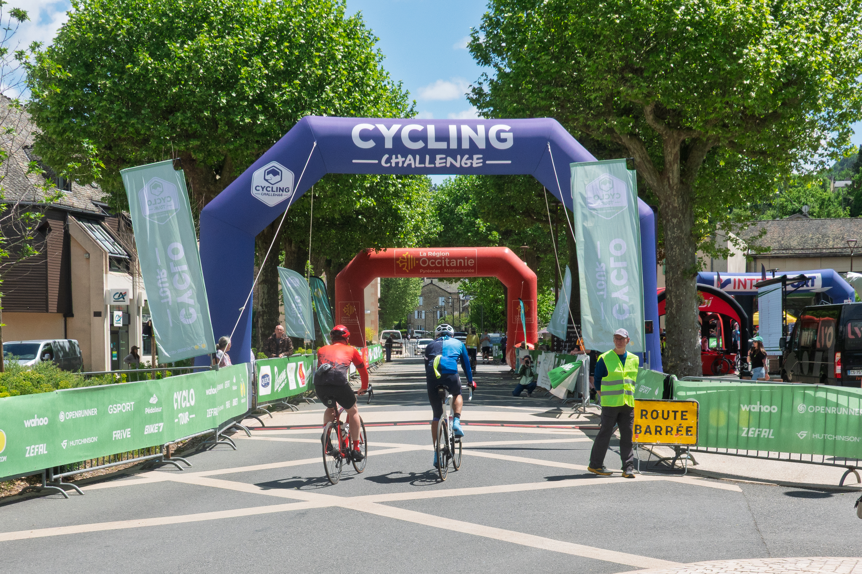
It was the end point for a bike race so lots of bicyclists were arriving. Other than that, the town was closed as it was Sunday!
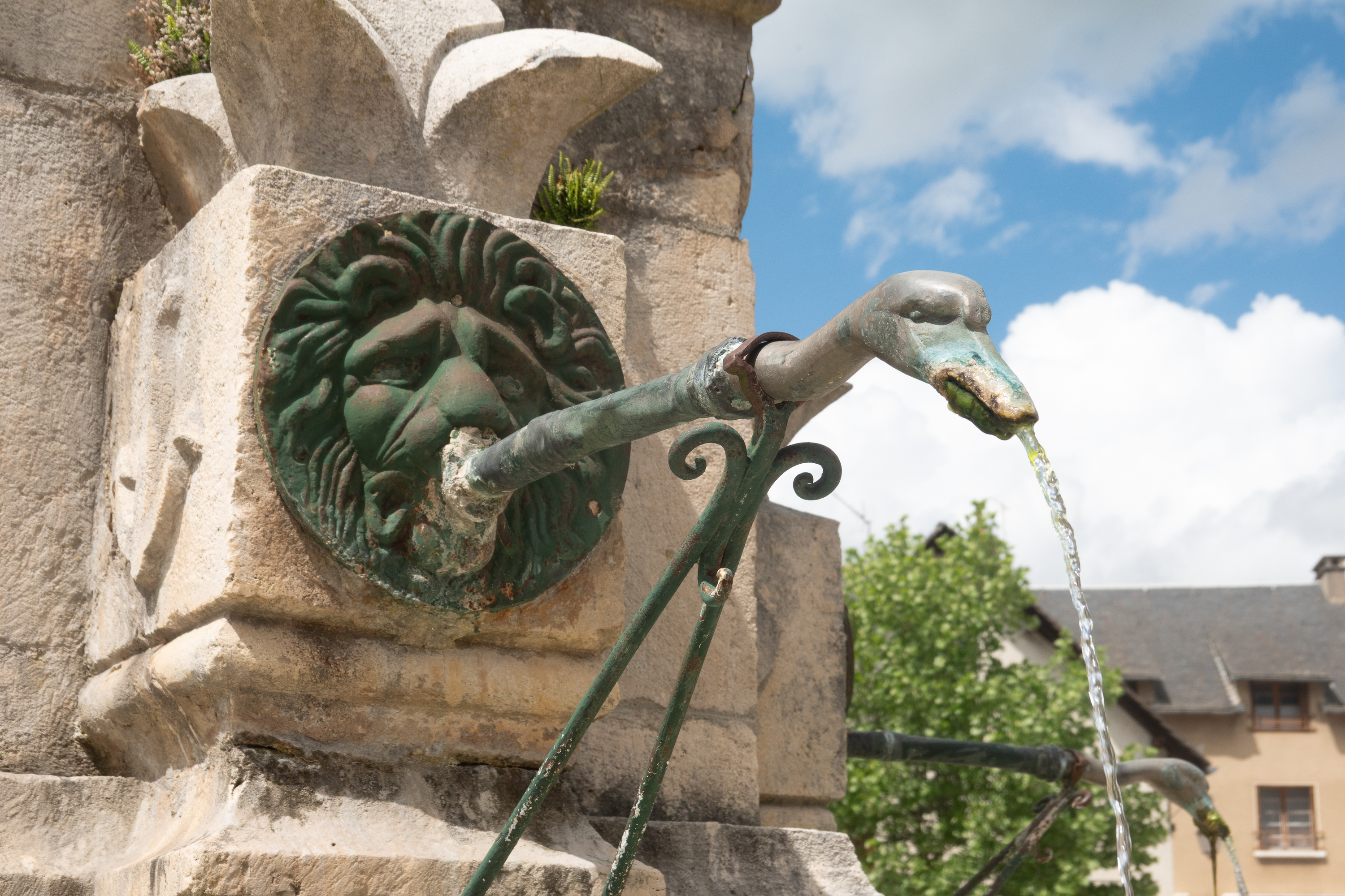
Le dimanche est sacre pour le vélo! (Sunday is sacred for the bicycle!)When the lion can’t reach, enlist a swan!
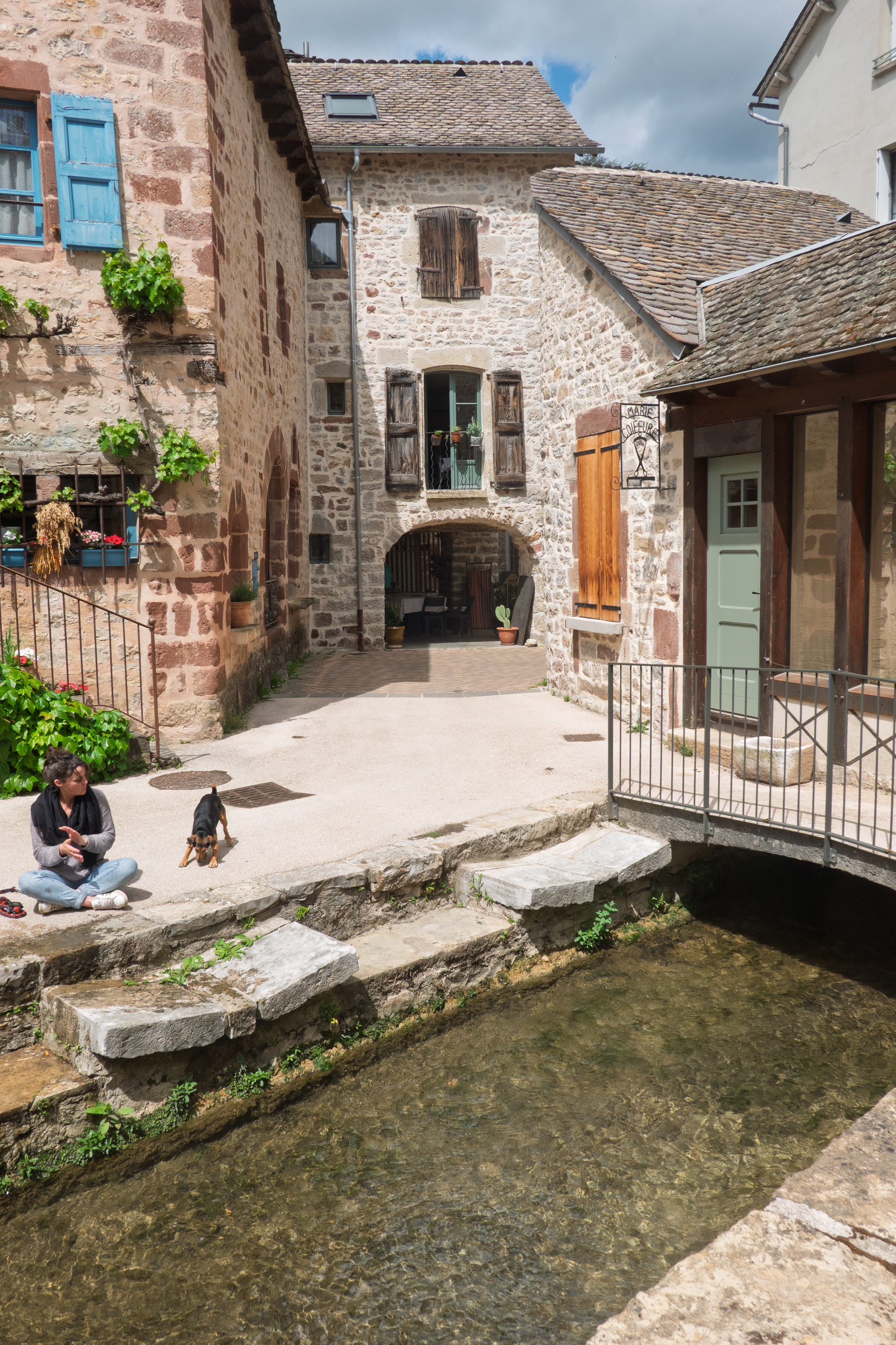
La Canourge has a lot of small canals, so it is called the little Venice of the region.
You can see why we didn’t want to drive in the village.
The dog had the best time jumping in the canal.
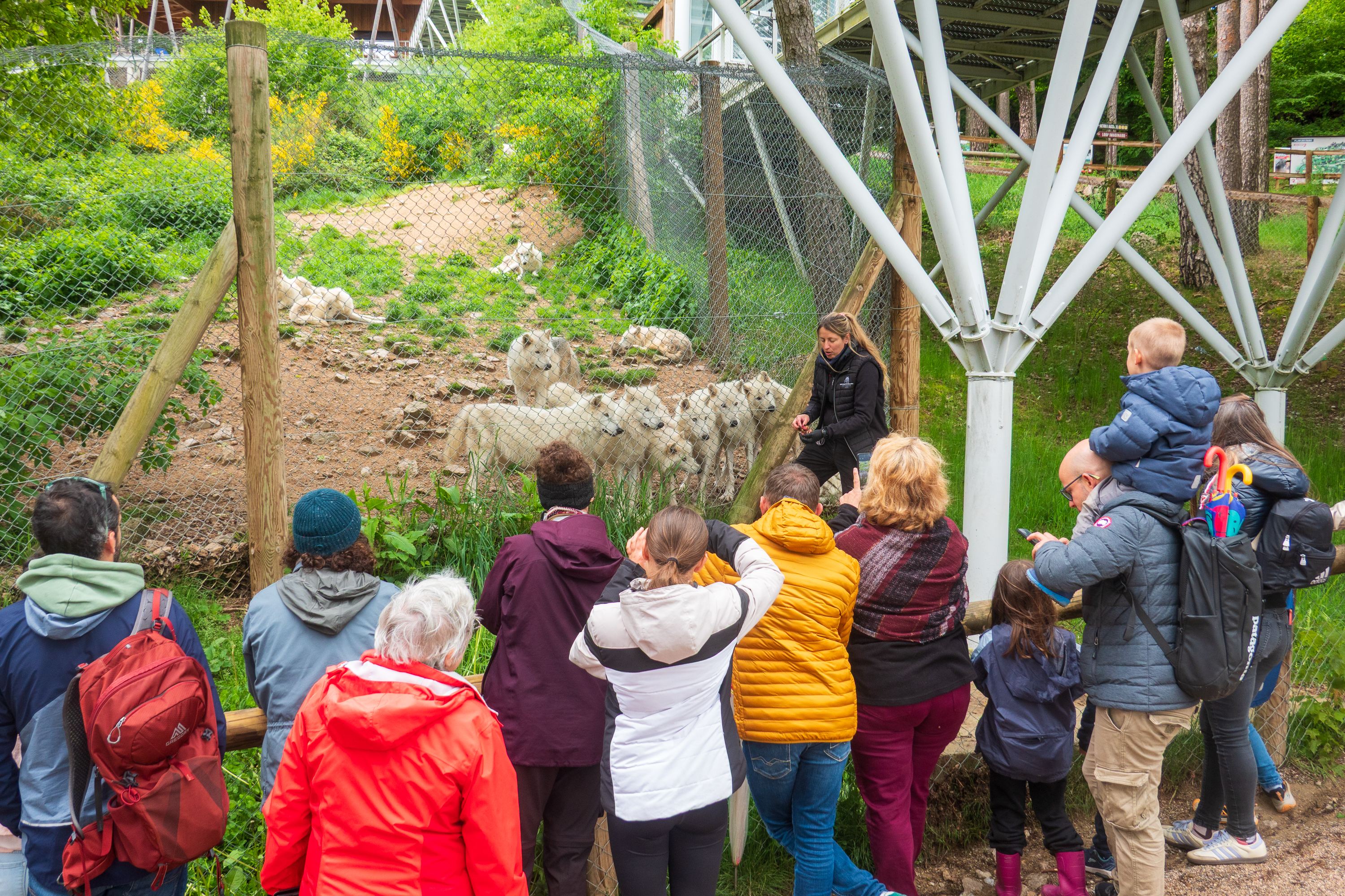
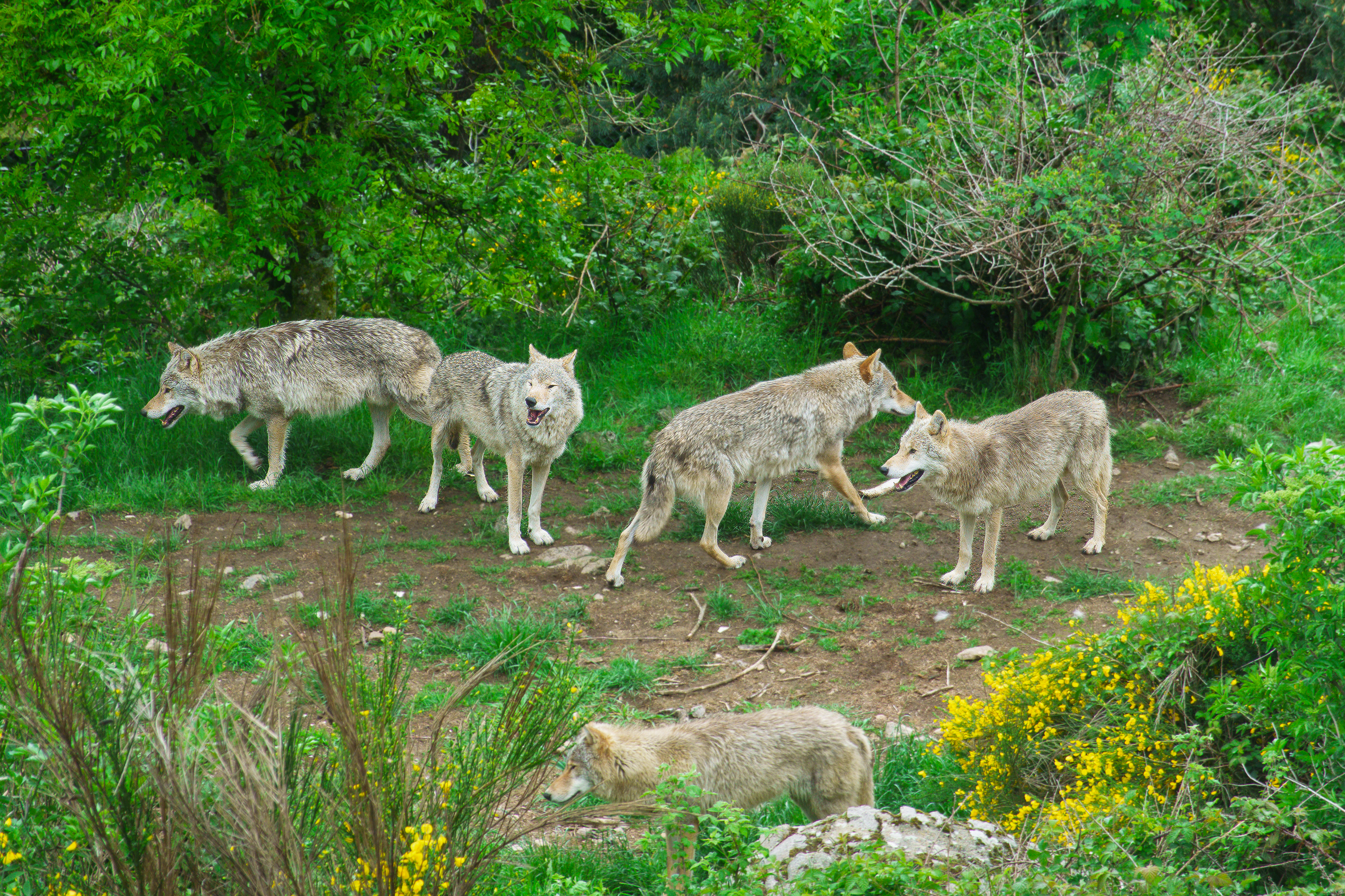
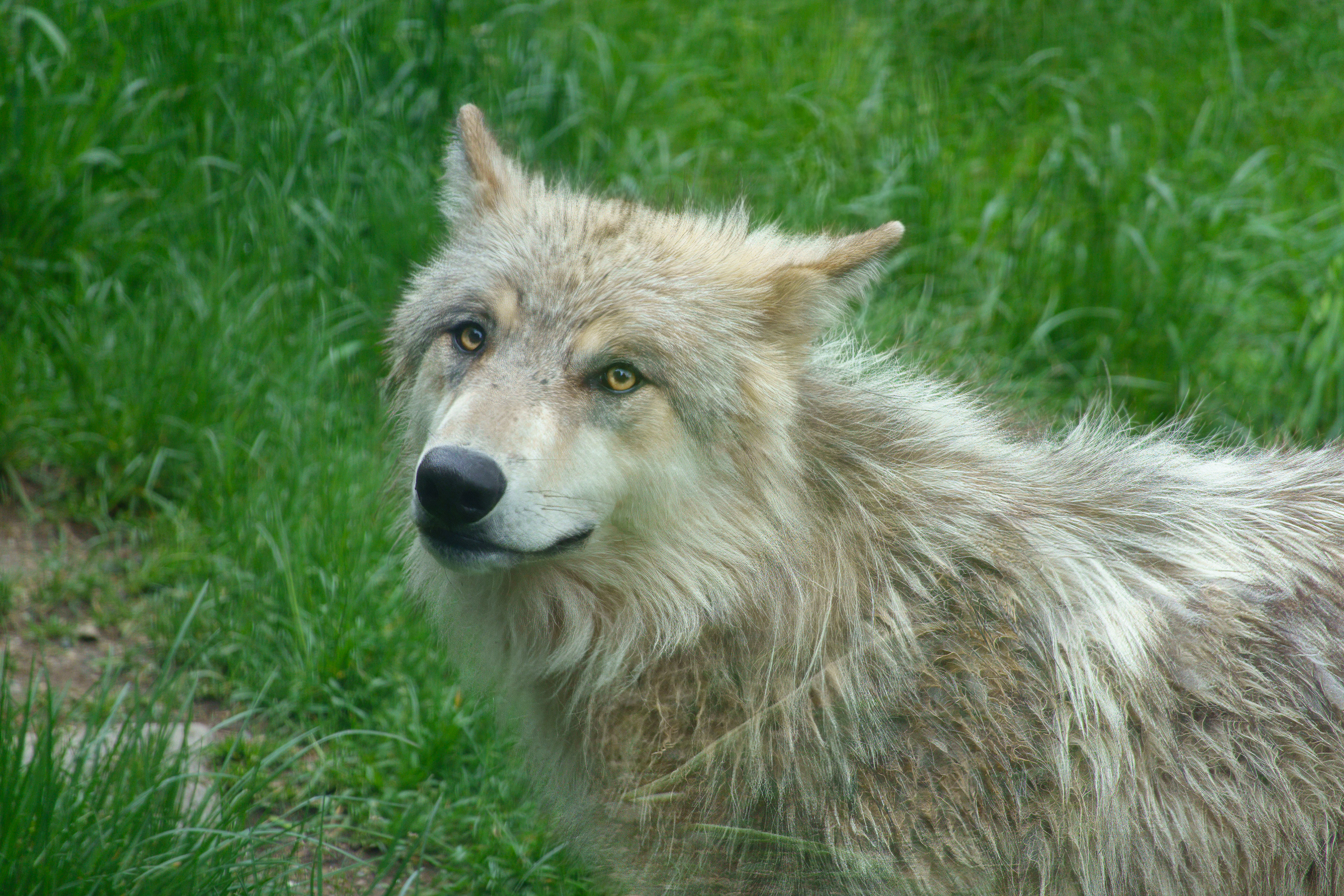
Our next goal was “Les Loups du Gevaudan” a wolf preserve with wolves from Canada, Mongolia, Poland and Siberia. (https://www.loupsdugevaudan.com) We viewed the wolves, most of whom were snoozing on the ground, before taking a tour with an excellent guide, who was most knowledgeable about wolves in general, and their individual pack politics in particular – a lupine soap opera!
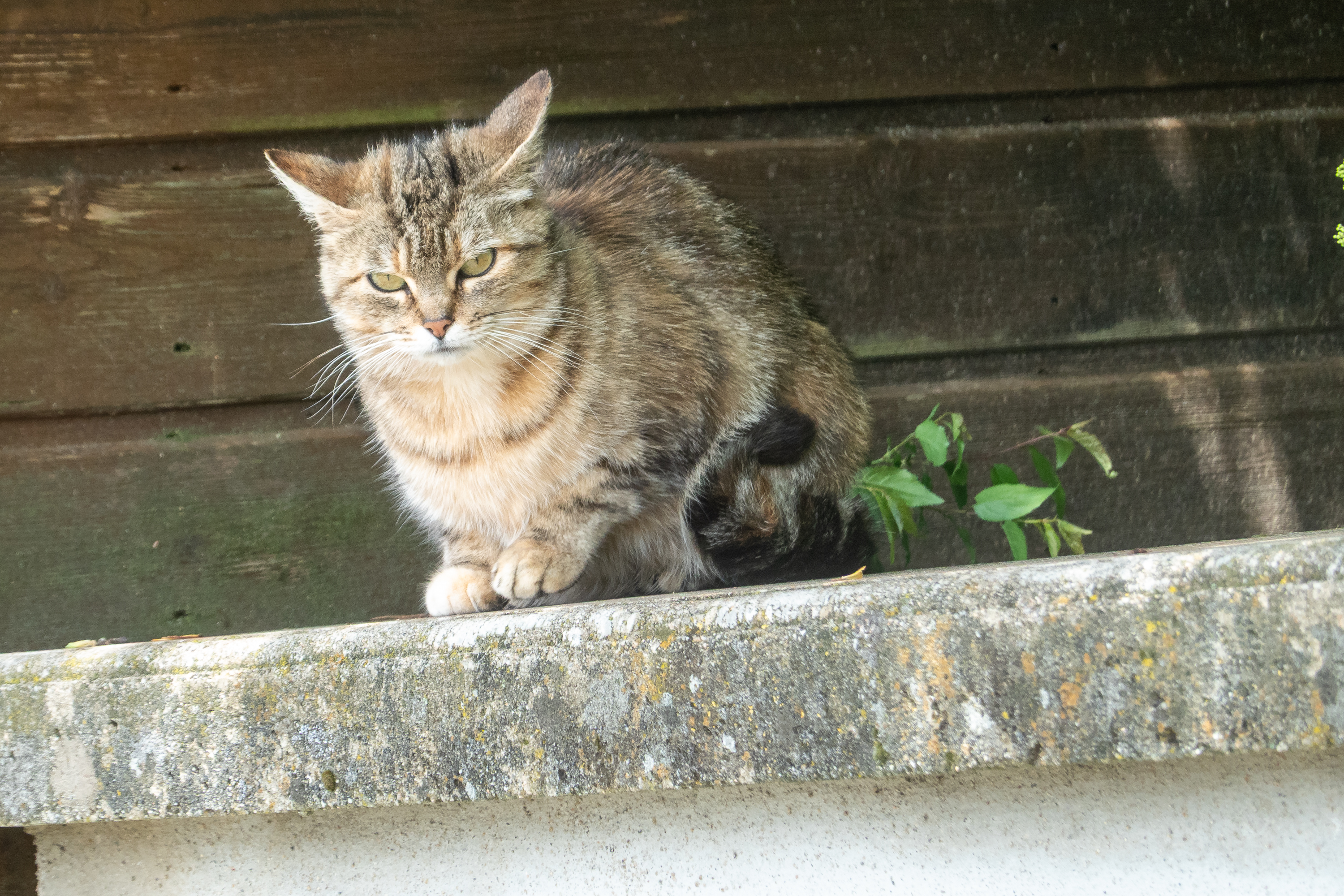
Wolves will eat cats, but this guy clearly knows his way around and was totally unimpressed by either tourists or wolves.
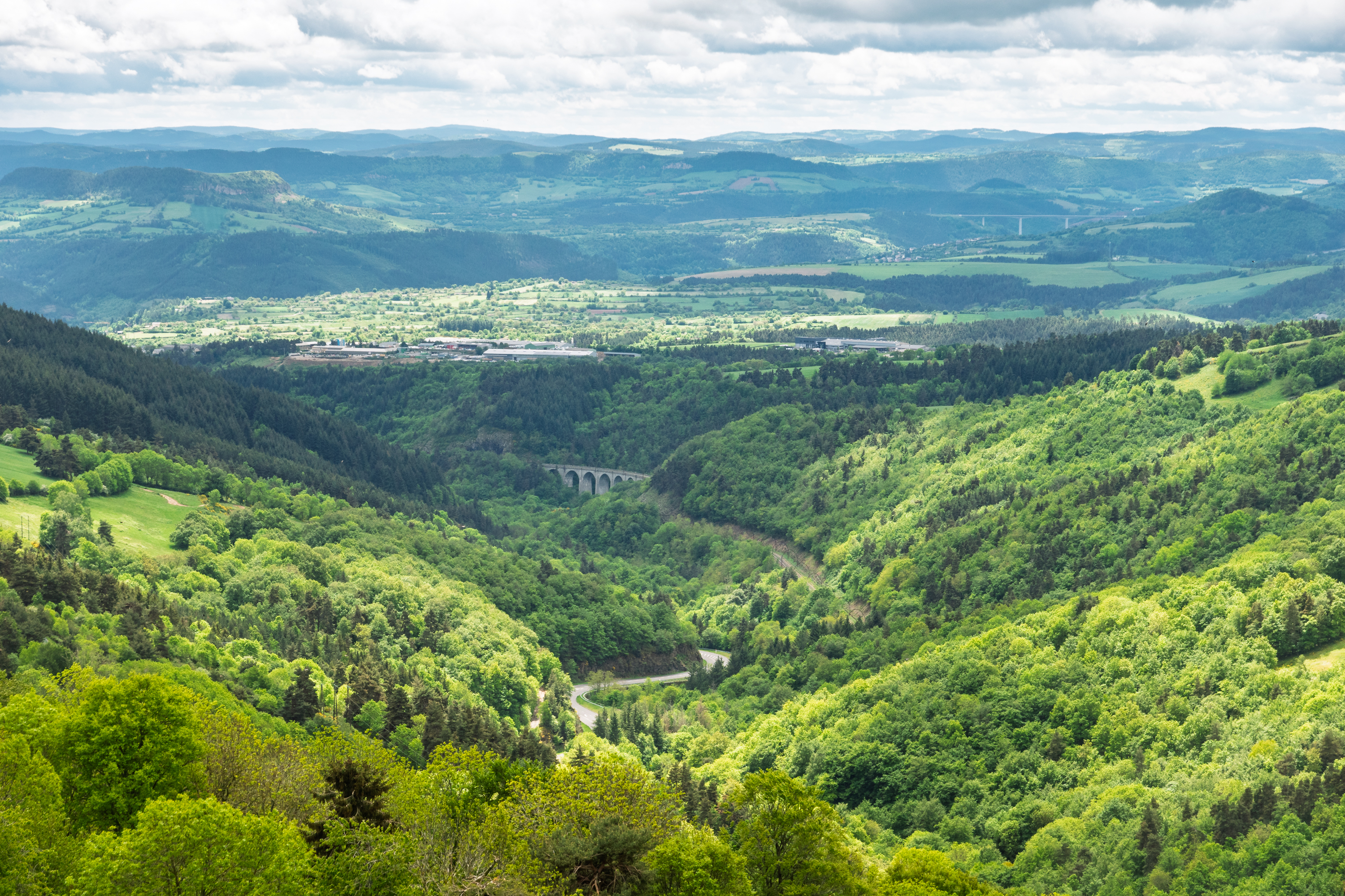
Ho, hum. Another perfect, postcard view.
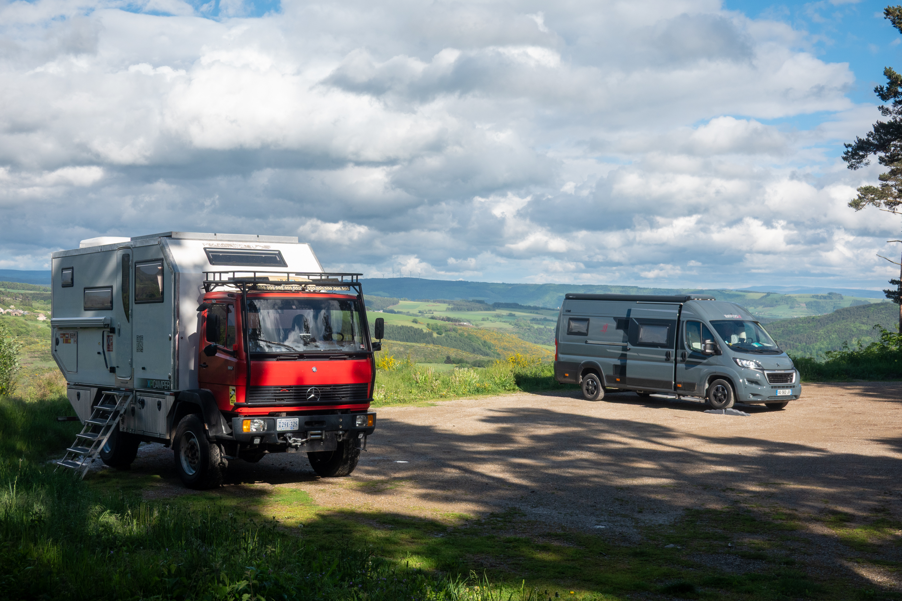
A great visit and we were able to camp there on the edge of a cliff with an incredible view over the valley.
Not bad for free camping.
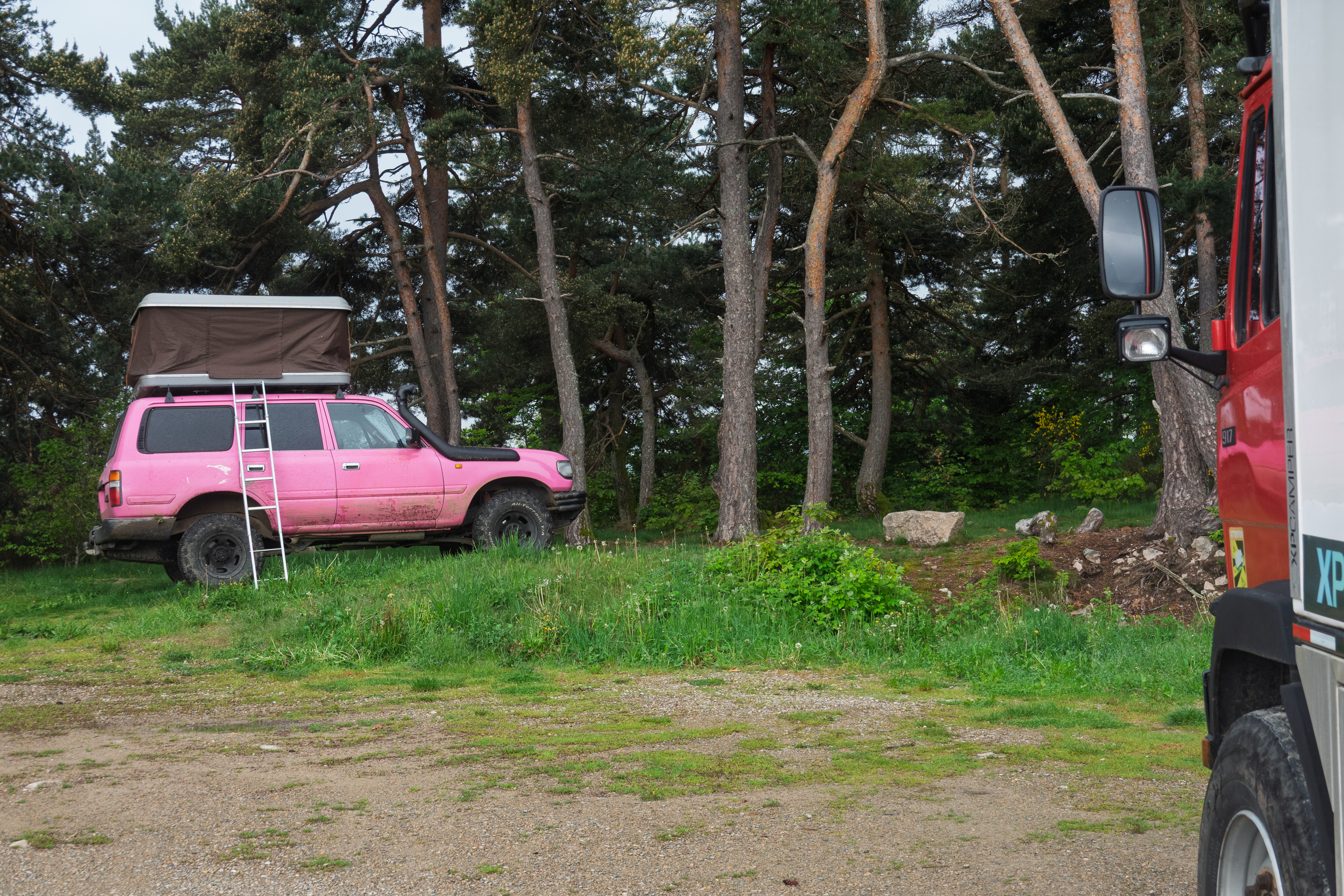
Wow! A Landcruiser like the one we had in Bangui and a modern rooftop tent. (Ours was silver.)
We then headed across country to Perigueux in the Dordogne, on a route that involved a large number of Departmental (“D”) roads with only a little motorway travel. The downside of some of these D roads is that they can be very narrow and very steep. A lot of “gear-change-lever-falling-readily-to-hand” and exhaust braking required! And, of course, near head on collisions with monster semis.
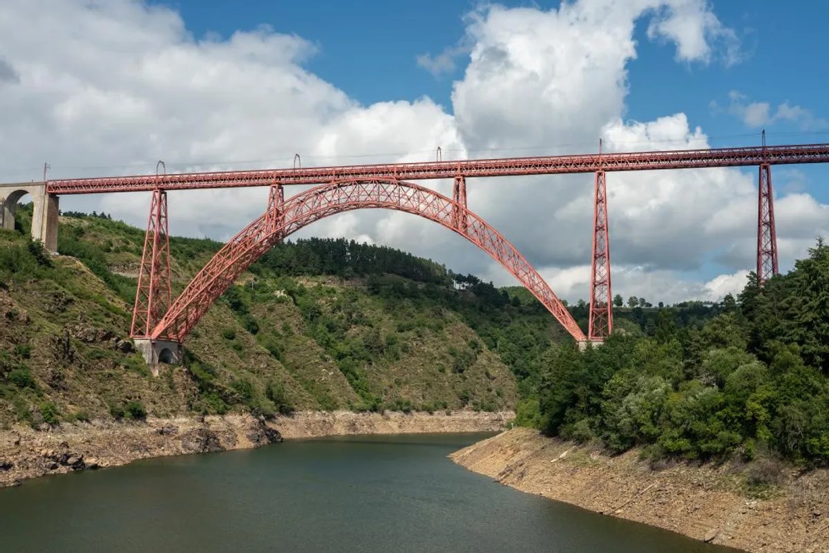
We had never driven across the Auvergne region before and we were impressed. There was gorgeous natural scenery with deeply wooded gorges and valleys crossed by huge viaducts. We crossed through the Parc Naturel Regional des Volcans d’Auvergne and few able to spot multiple likely volcanic cores and a possible caldera. It is a big hiking area. We also spotted several ruined castles and the Garabit Eiffel Viaduct, a railway, bridge and built by Eiffel. It looks a bit like the Eiffel Tower on its side; a pinky orange Eiffel Tower.(https://en.wikipedia.org/wiki/Garabit_viaduct)
Taken from the web as we were on a motorway and could not stop.
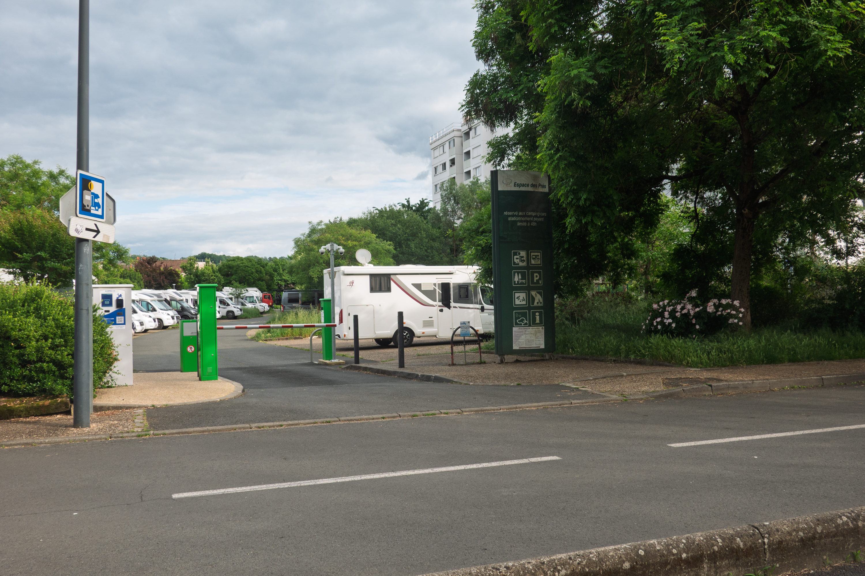
Finding the Aire in Perigueux was somewhat of a challenge, as it often is. More correctly, it is a challenge to find a road wide enough to actually use. Fortunately the city had put up “optimal route to the aire” signs, which helped immensely when both the GPS and Google wanted to send us down alleys. We made it, took a spot and settled in. It had been a long day for us, with nearly seven hours of driving time. We try to avoid days like that.
Home sweet aire! Somehow, every body made the turn.
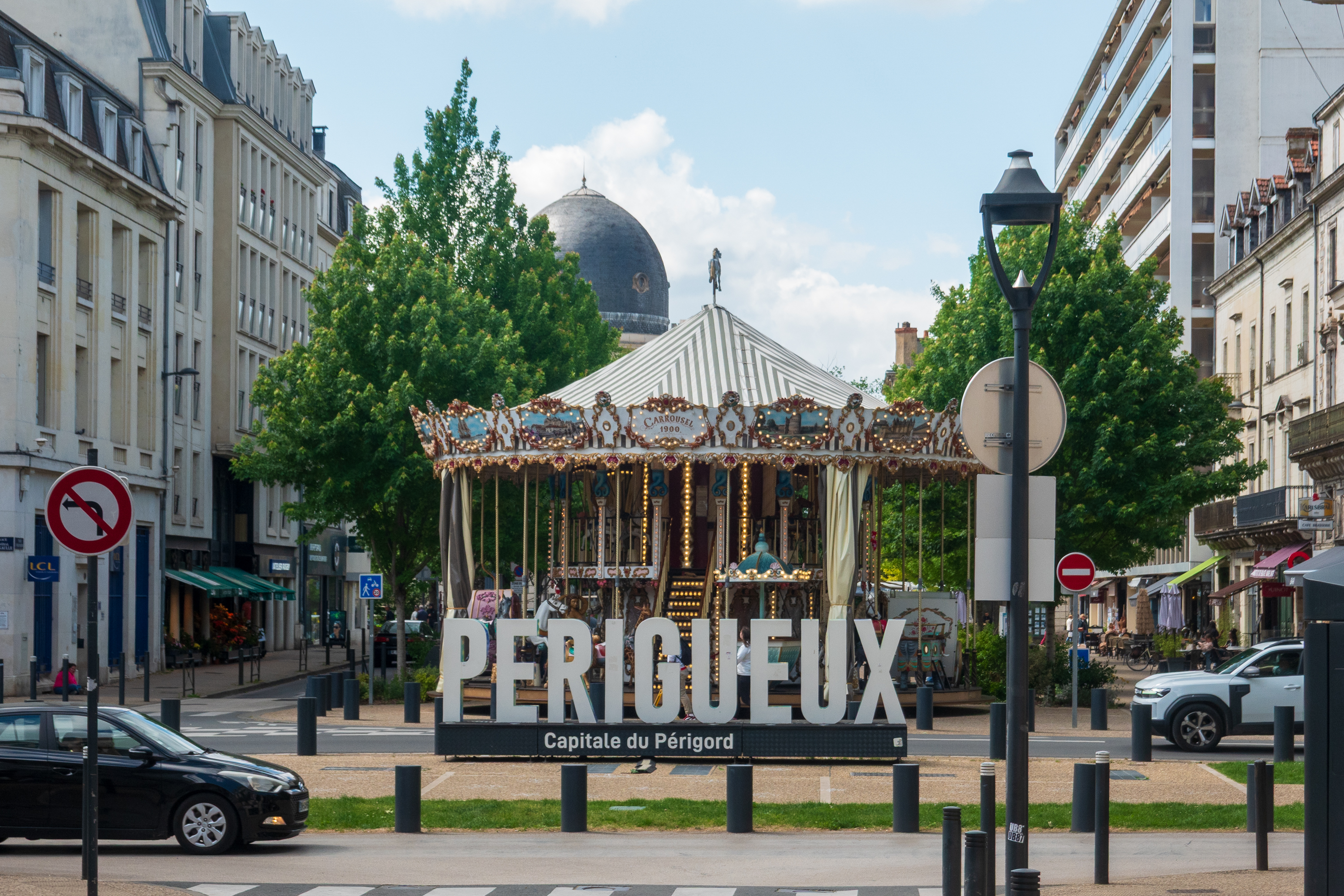
Perigueux proved to be a lovely town. We set off on our bicycles the next day, once it warmed up a bit, and the clouds lifted somewhat.
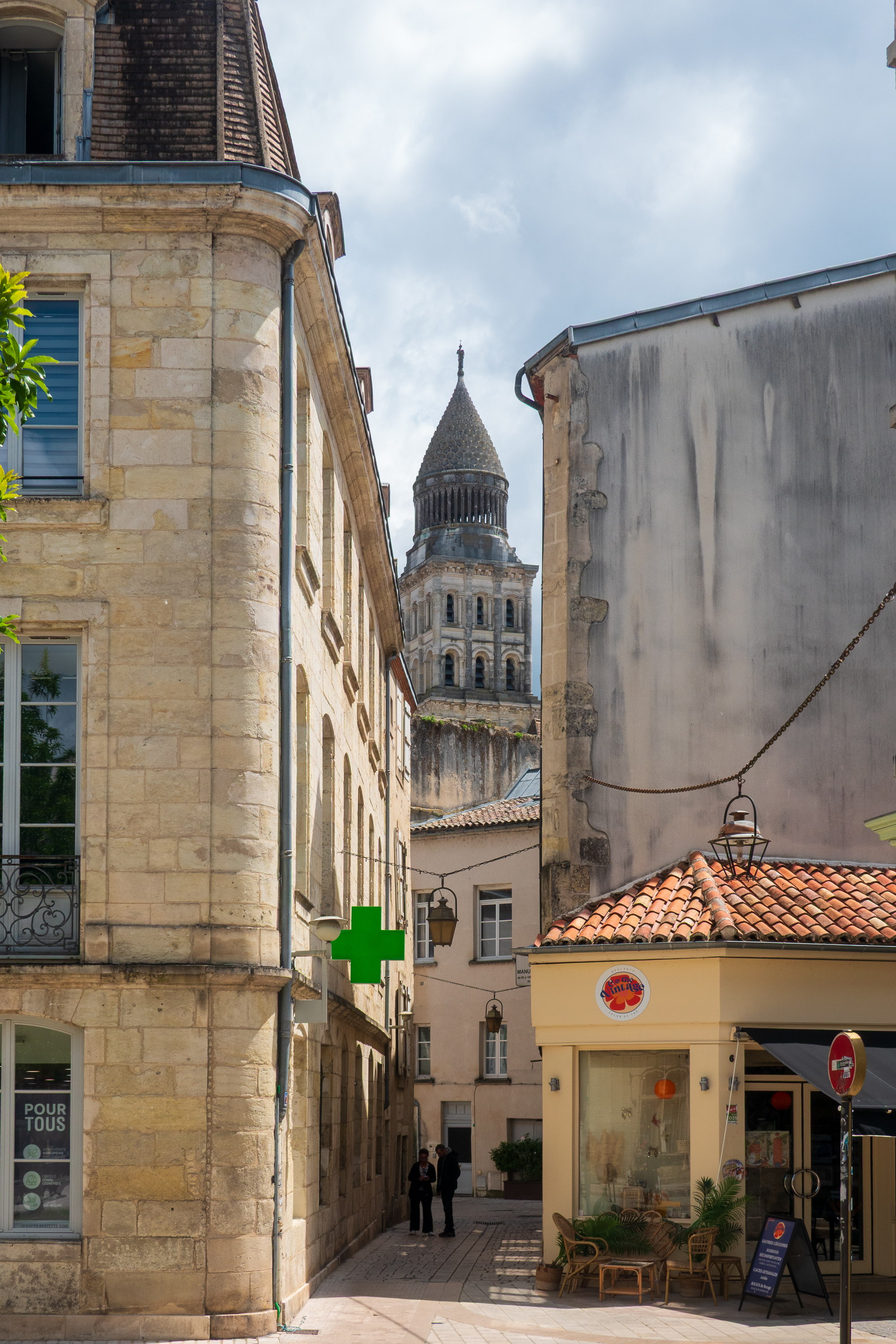
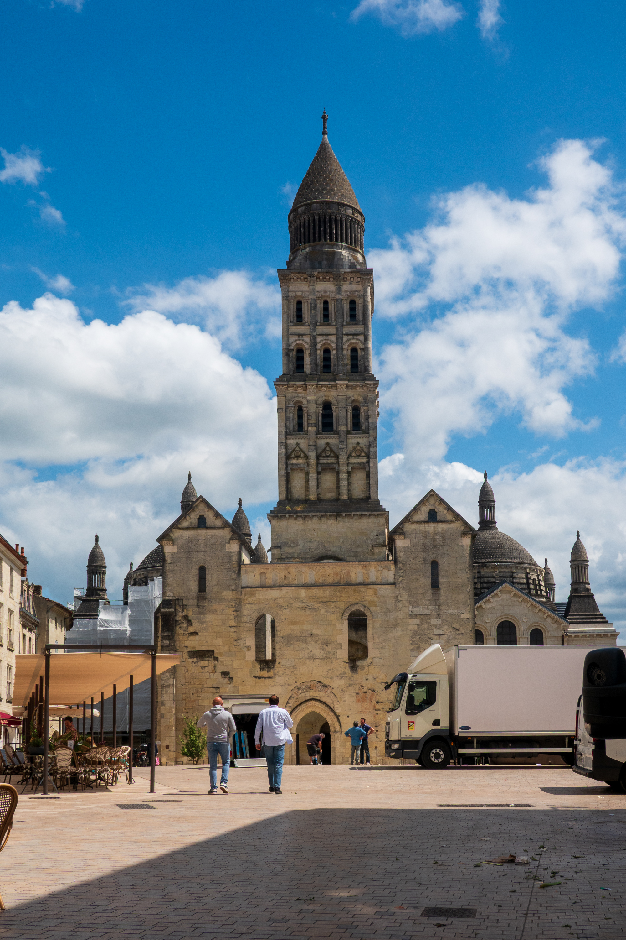
We went first to the medieval center and visited the Cathedral Saint-Front, built on the site of a chapel in the 4th or 5th century. It was quite different from a gothic style cathedral, being built in the shape of a Greek cross and with five domes (like St.Mark’s Basilica in Venice). At one of the main doors is part of a much older romanesque church in ruins but with its cloister intact and was part of an abbey that burned in 1120. (https://fr.wikipedia.org/wiki/Cathédrale_Saint-Front_de_Périgueux Use your browser’s translate function.)
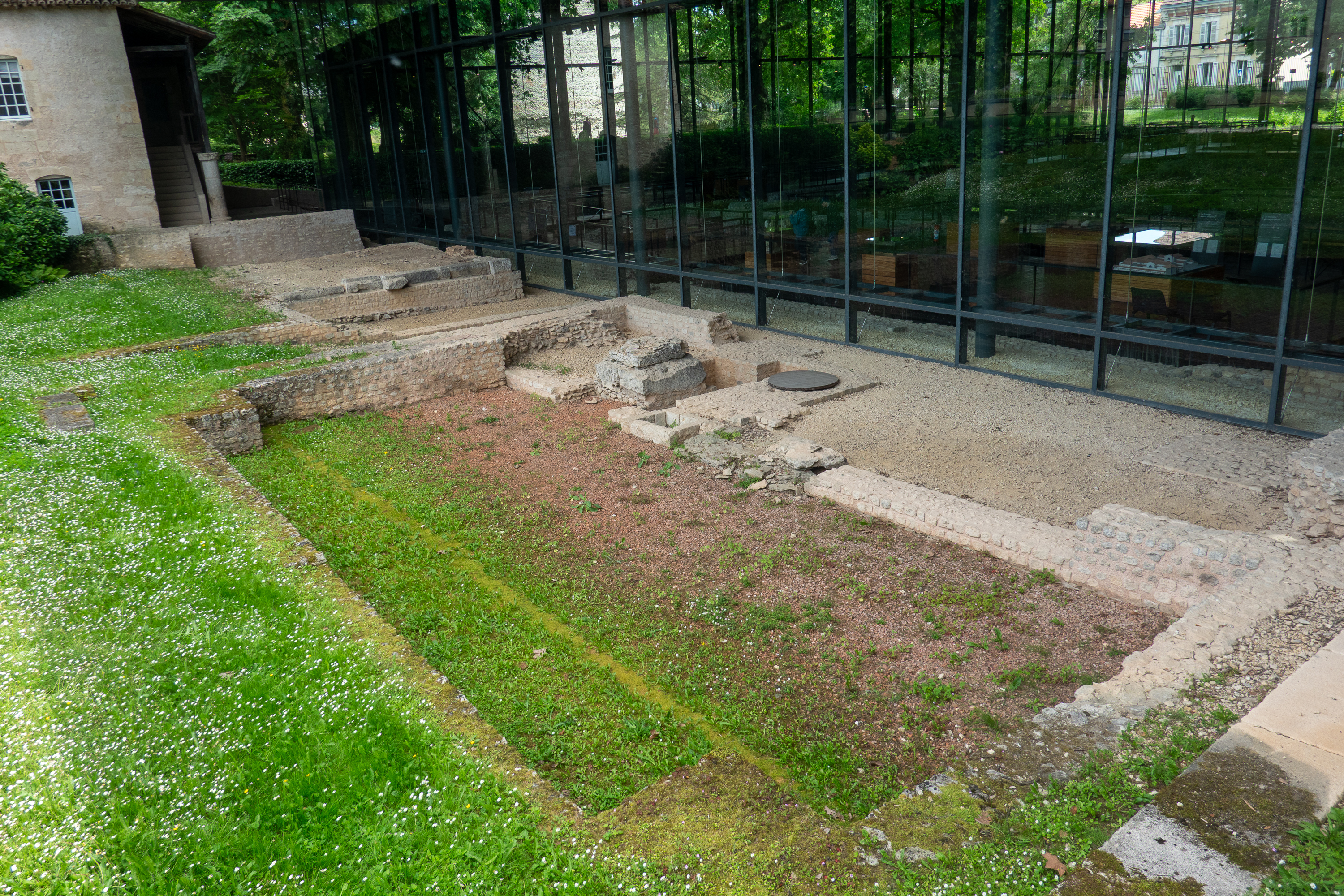
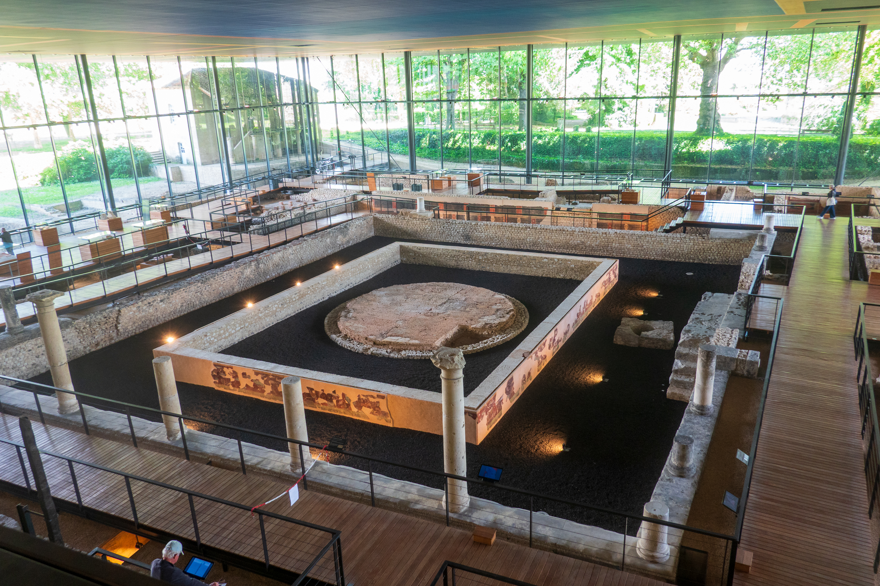
We then headed to the Vesunna, the Gallo roman museum site . Discovered while the adjacent park was being renovated in the 1960’s. This turned out to be a real gem.
You can see the modern ground level with the villa buried beneath it.
Strangely, it has no mosaics. The villa in Sicily is still the best (https://diplostrat.net/2025/04/03/a-sicilian-mosaic/ ), but it is a well thought out museum/walk through tracing the amazing history of a very opulent house, occupied, in various configurations, for hundreds of years.
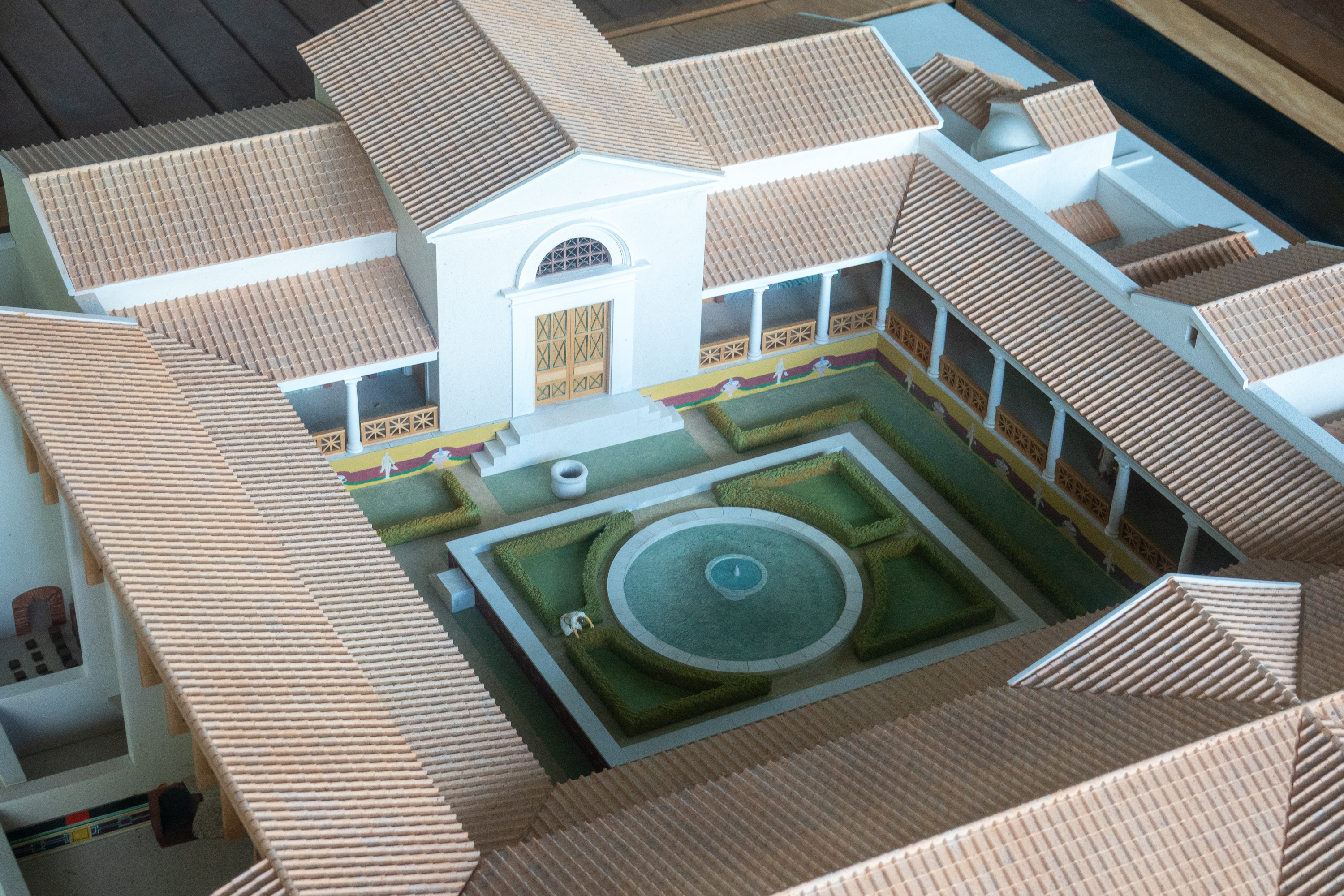
The focus of the display is the huge fountain in what was the peristyle.
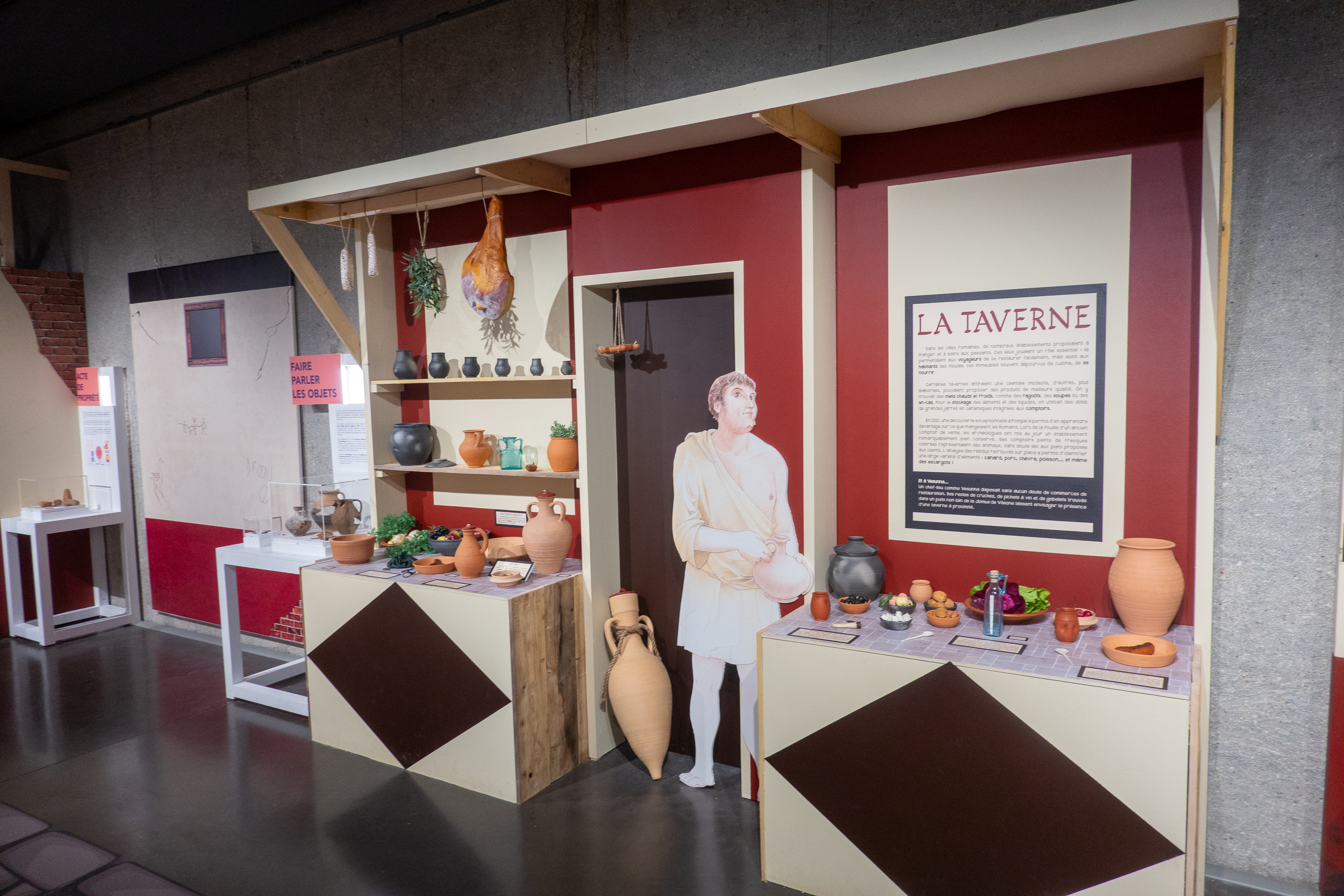
The villa as it might have appeared late in its life. Note the fountain, a constant from the beginning.There were great children’s exhibits on every day life in Roman times. You could sniff things like food and garum, the infamous Roman fish sauce.
There were latrines as well, but you could not sniff them.
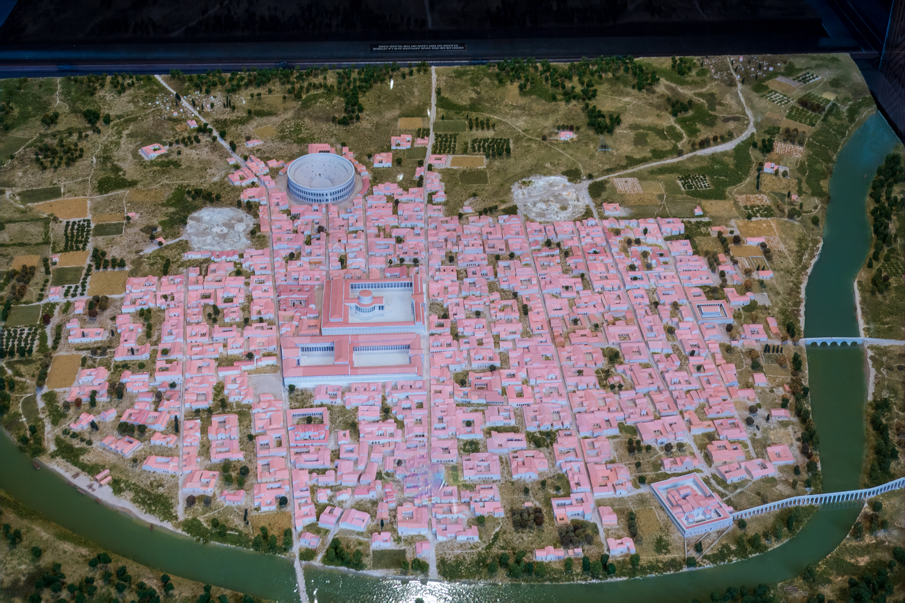
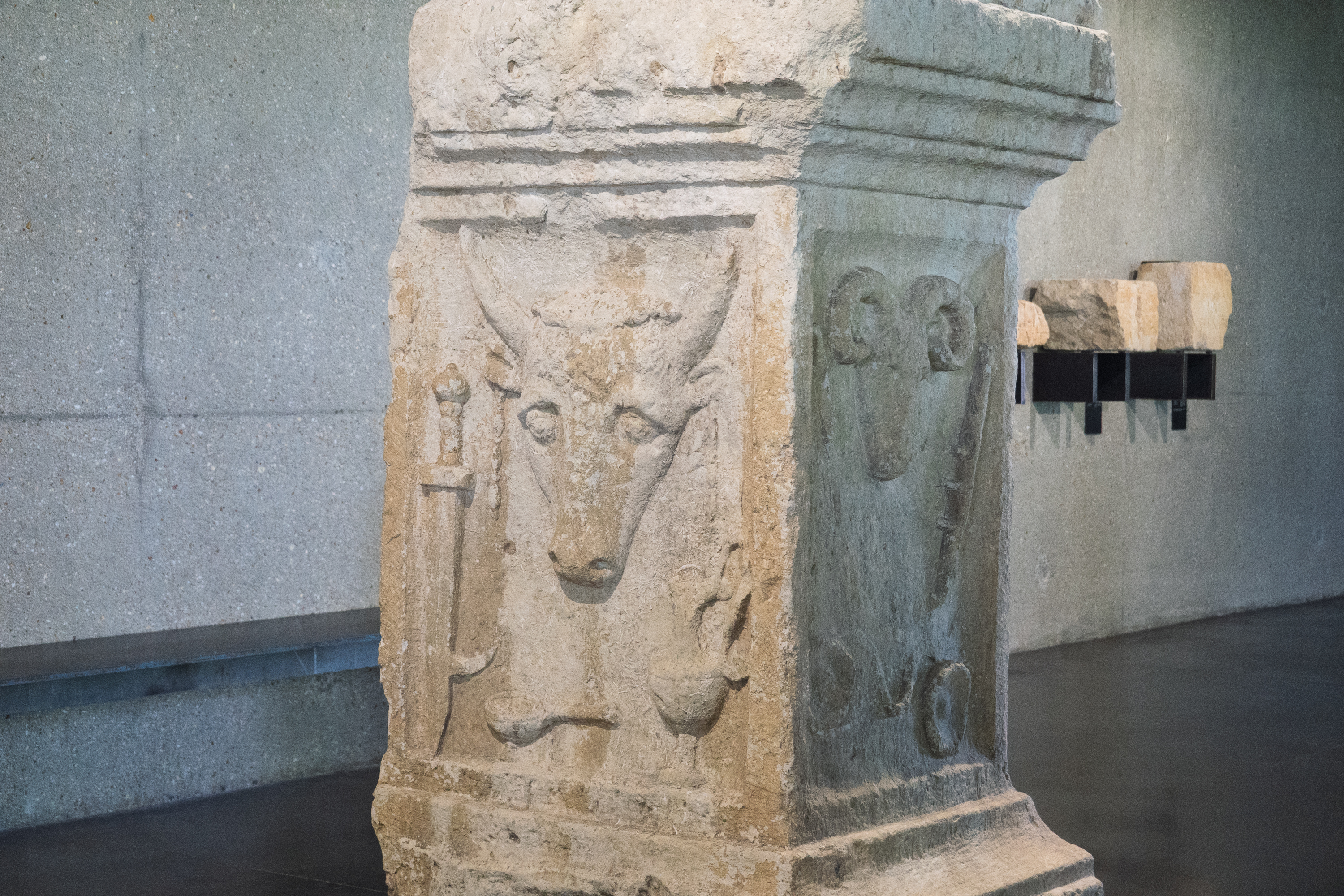
Model of Perigeaux in Roman times. Zoom in to see the site of the villa, next to the temple of venus with a tower.Altar/votive stone with sacred bull and ram.
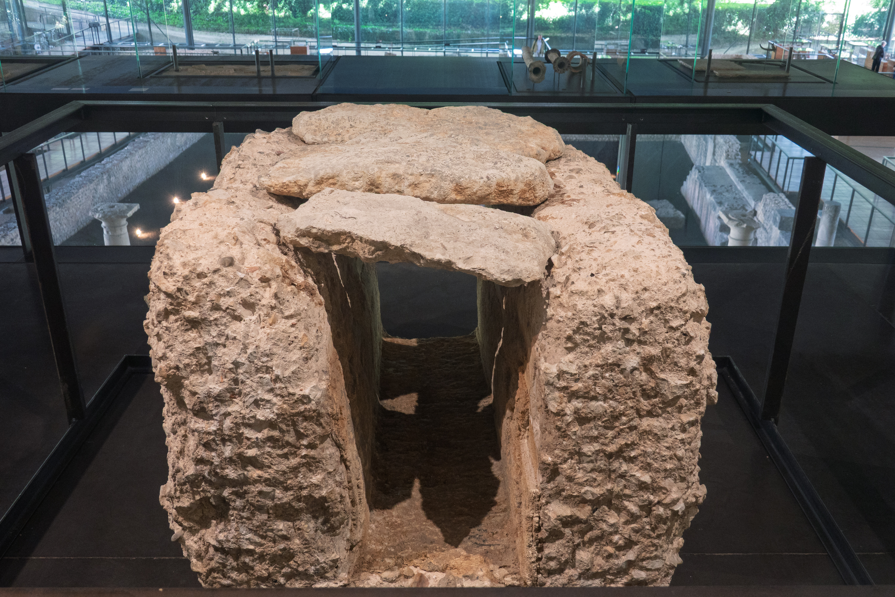
Fred really liked this section of concrete water channel, from an aqueduct. Roman concrete was actually self healing in water – amazing.
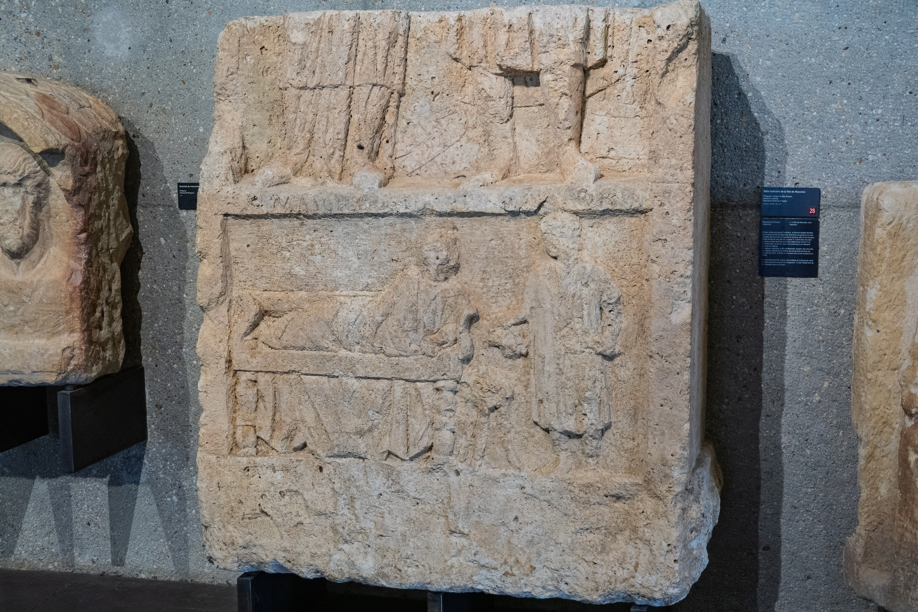
Incredibly lifelike images on a funerary stone.
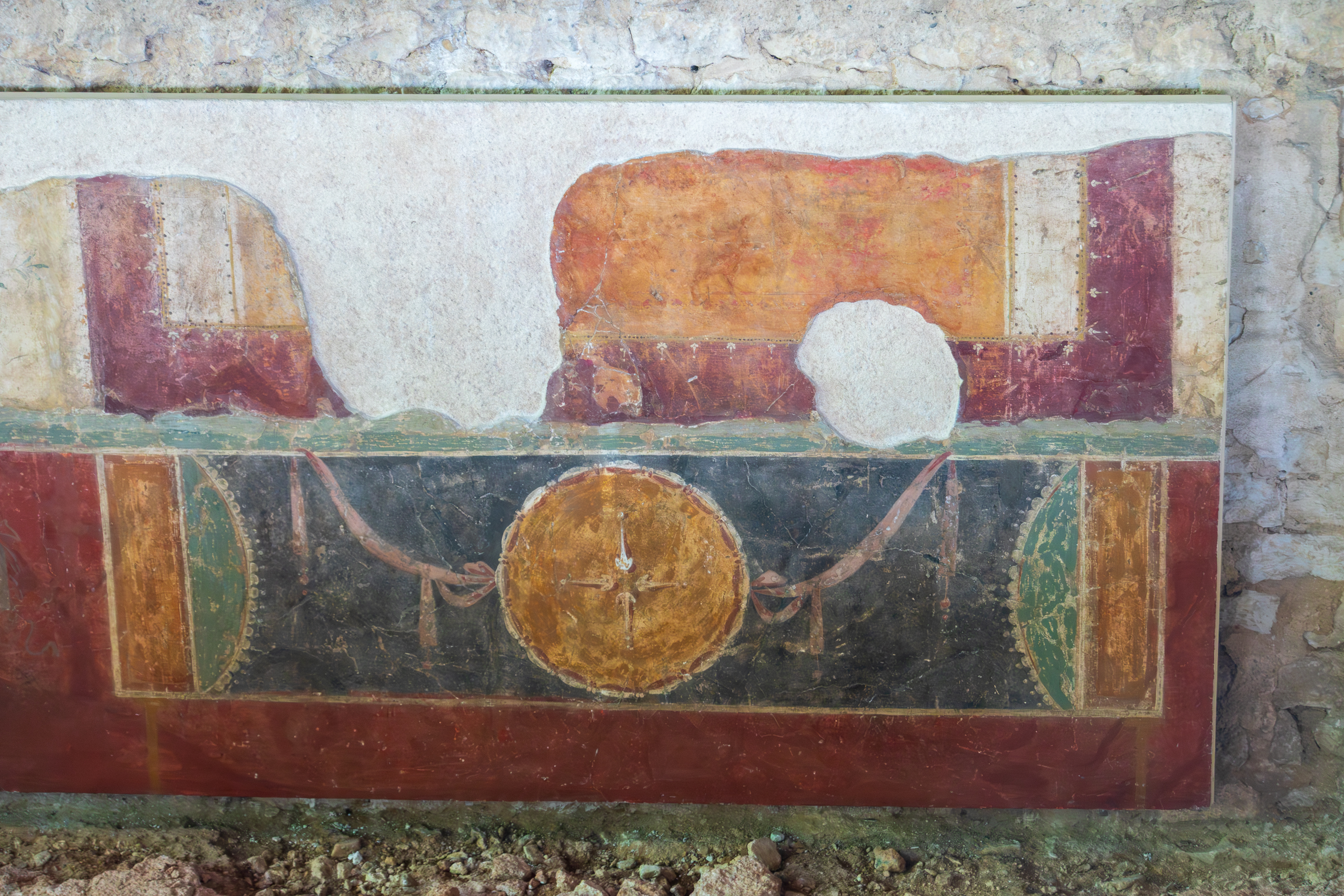
Only a few frescos have survived, but they are brilliantly colored.
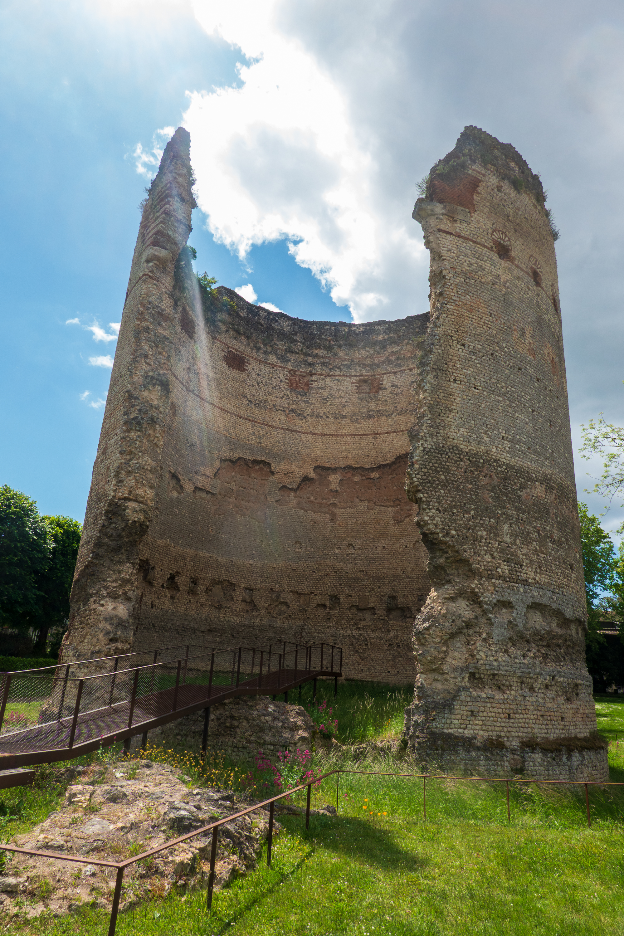
Finally, right next to the villa, the remains of the odd tower in the temple of Venus. Awe inspiring to realize that these two building have remained here for thousands of years.
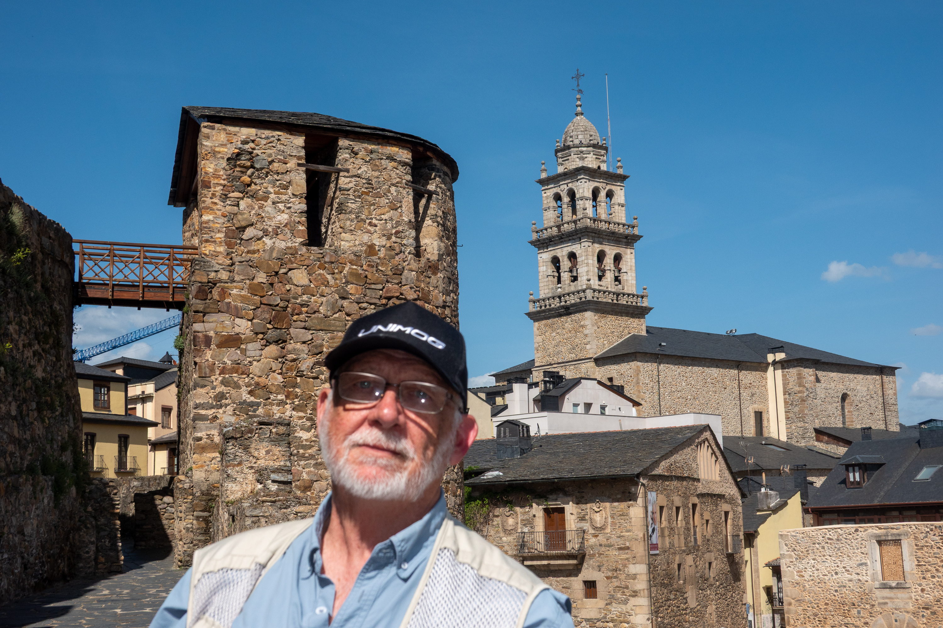
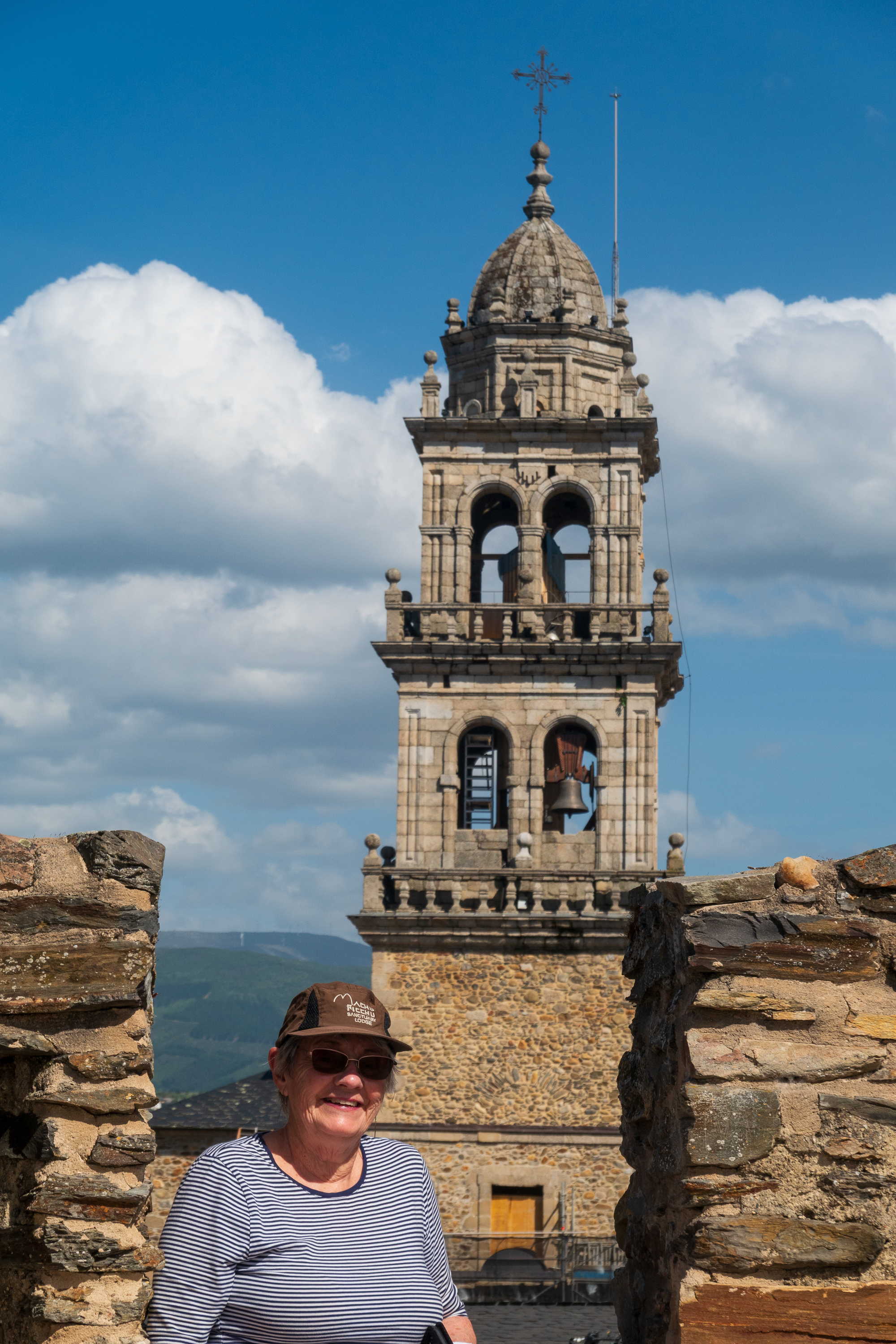
It was time to head east, so our next stop was just over the border in Castilla y Leon, in Ponferrada, named after the iron reinforced bridge (Pons Ferrata) that still crosses the river. Probably built by the Romans, in medieval times it was an important river crossing along the Camino.
It’s a Gas, Gas, GAS!
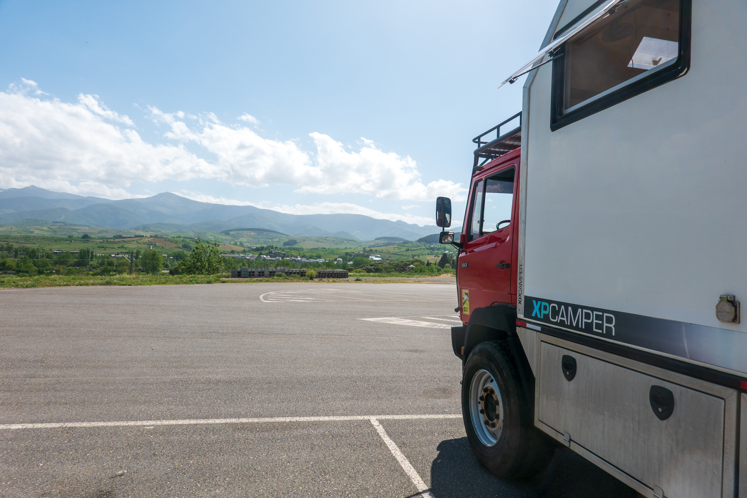
This is the first of our gas station visits, or, more correctly, an aire or sosta set in the parking lot of a large filling station. This one had a large number of spaces, an incredible view of the hills, and was surprisingly pleasant.
May be a gas station, but it is nicer than many campgrounds!
All in all, a brilliant execution as it used parking spaces that would probably be empty at night. And the campers used the small grocery store, restaurant, and, wonder of wonders, a truck wash!
One of the managers also helped us find a garage to, yet again, tighten the fan/power steering belts which had started squealing. By helped, we mean that he put us in his car, drove us to the garage, introduced us to the owner, and told him that he had to attend to us immediately. Which he did. You don’t get this at your local KOA.
There’s GOLD in Them Thar Hills!
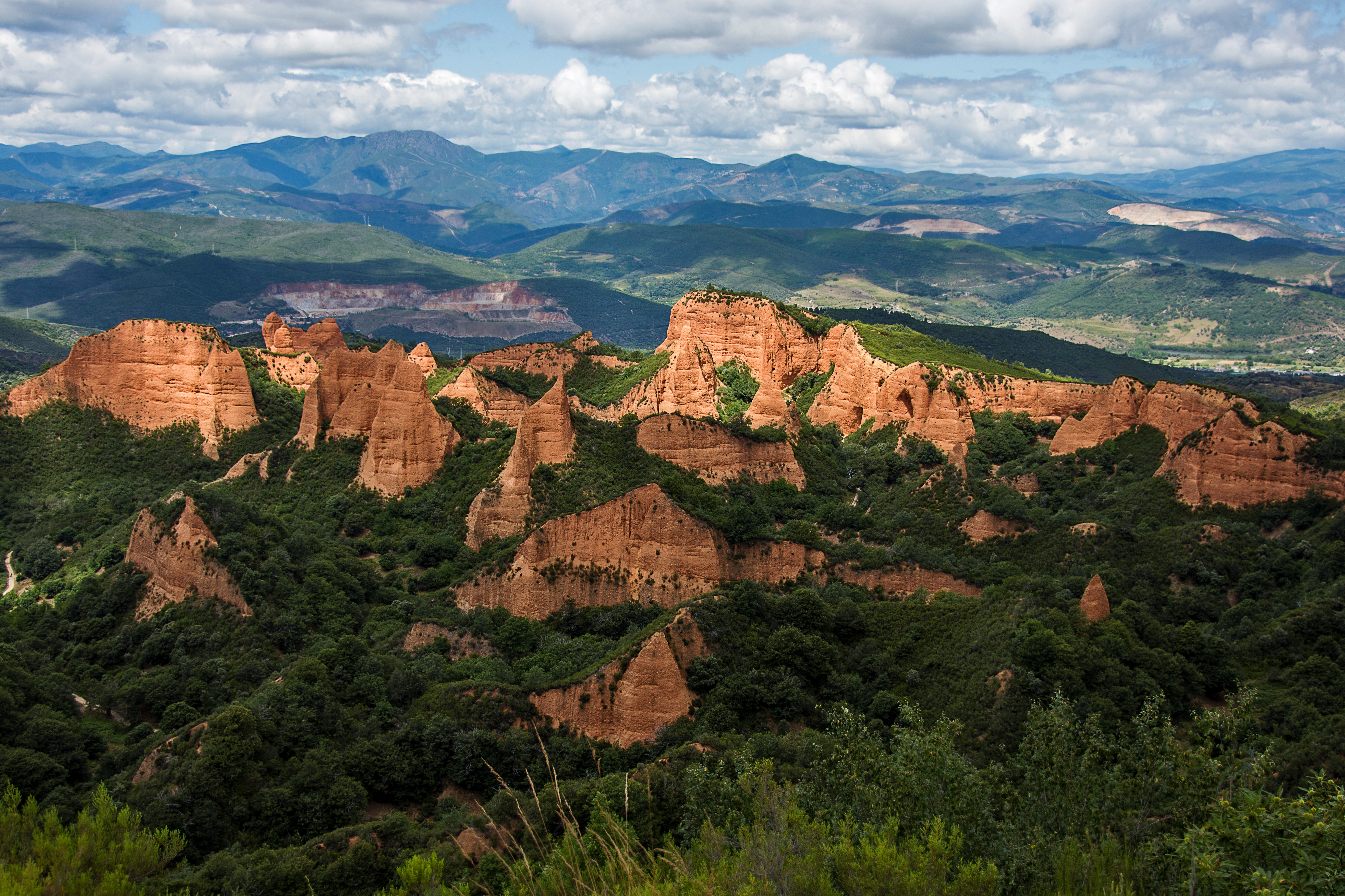
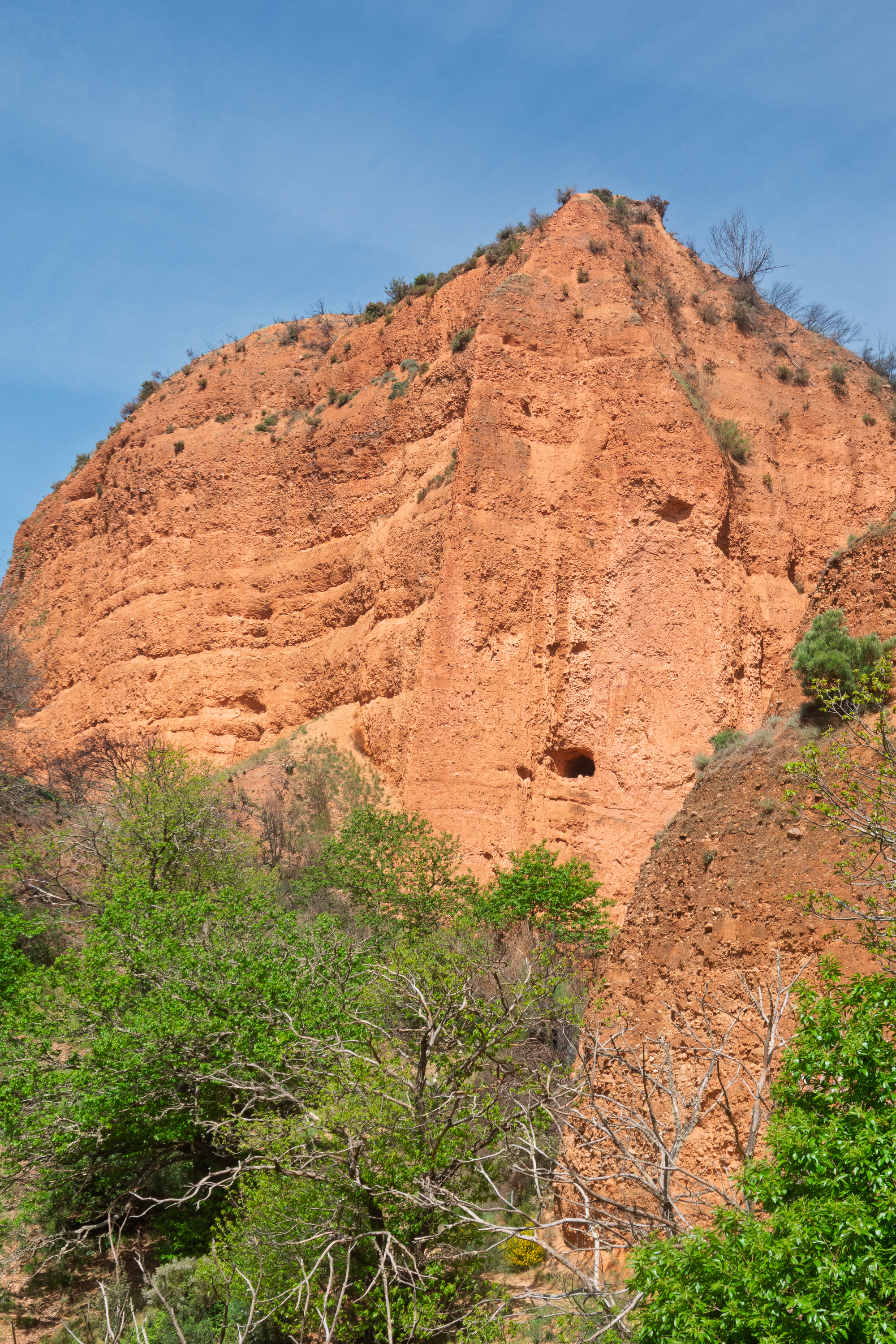
The next morning we headed into the hills to visit Las Medulas, gold mines from before the Roman era. (https://en.wikipedia.org/wiki/Las_Médulas) We are Roman history nuts and love to marvel at Roman engineering – cities, bridges, aqueducts, etc. Las Medulas takes this to a whole new level of mega project. Using a technique called “Ruina montium” (Latin for “wrecking of mountains”), the Romans washed away whole mountains, leaving behind an artificial Bryce/Zion/Capitol Reef which stretches for miles. Suddenly the building of the Colosseum doesn’t seem so hard.
Why did they do all of this, for hundreds of years? Upon discovering that the local people, the Asturs (from whom we get the name, Asturias) mined alluvial/placer gold, the Romans moved in to industrialize the process. Eight aqueducts brought water from hundreds of miles away. That’s right, hundreds of miles. Then that water was sent into tunnels dug deep into the mountains by thousands of workers. The water then split the mountains apart and washed the ore laden soil out where the gold was retrieved. Fleeces were used to collect gold flecks, as in the legend of the golden fleece of Colchis.
We didn’t have a drone or airplane, so we took this image from the Web. Click to expand and marvel at the scale! Stretches for miles!
Over the centuries, much of the slag has greened up again. As in the American west, the hoodoos were bits of earth that did not wash away.
Note the two gallery/tunnel entrances up the cliff.
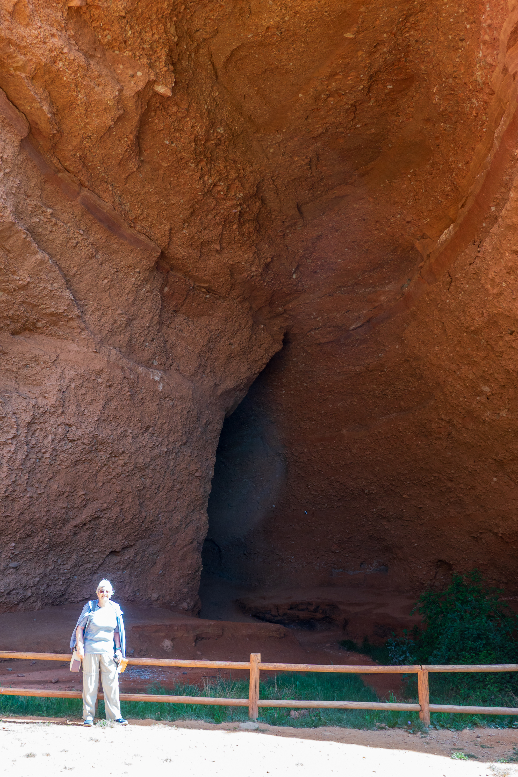
Denise at the mouth of La Cuevona, the tallest of all the galleries. Sadly, we could not go in. Indeed, many of the trails were closed. Took a lot of digging to excavate this.
And then, when the mountains had literally been washed away, they began classic gallery mining along exposed ore seams. Pliny reports that the losses of workers were so high that it was safer to dive for Tyrian purple “fish.” (The snails used to make Tyrian purple, the imperial dye. https://en.wikipedia.org/wiki/Tyrian_purple )
The scale of the area is incredible; even more so when you realize that you are walking through a completely artificial, man made landscape. Amazing that this site is not better known. See: https://en.wikipedia.org/wiki/Las_Médulas A full visit would take days and require hours of hiking over miles of trails. A feat best left for our younger and fitter friends!
We returned to the camper for lunch and then back to Ponferrada.
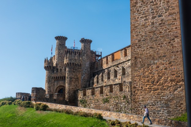
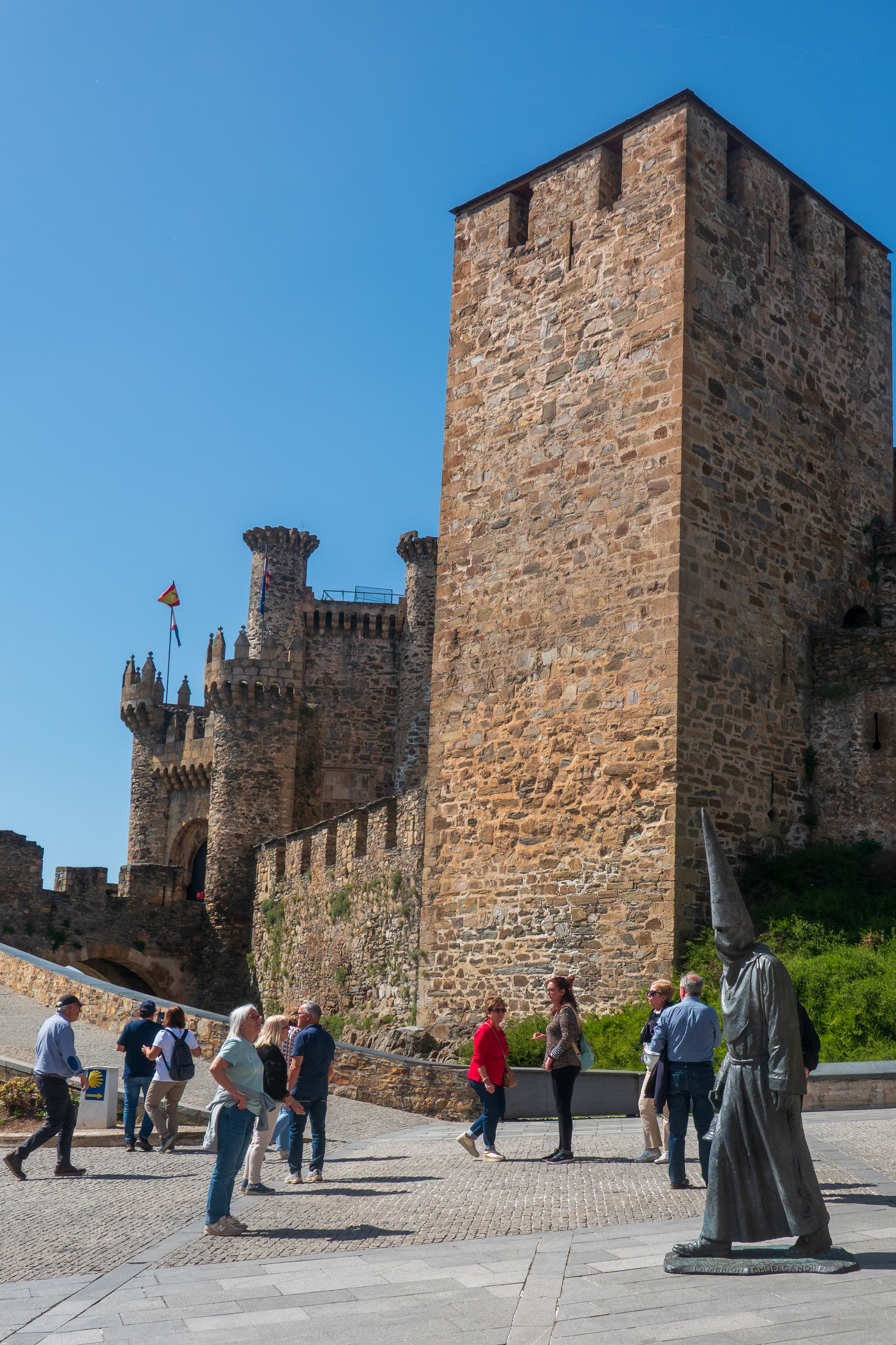
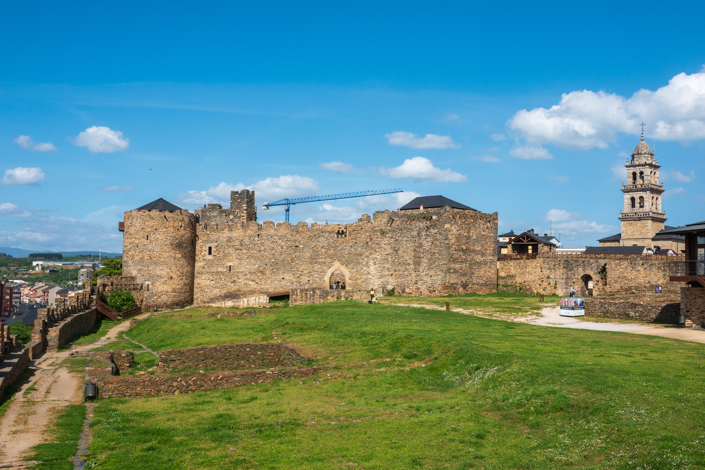
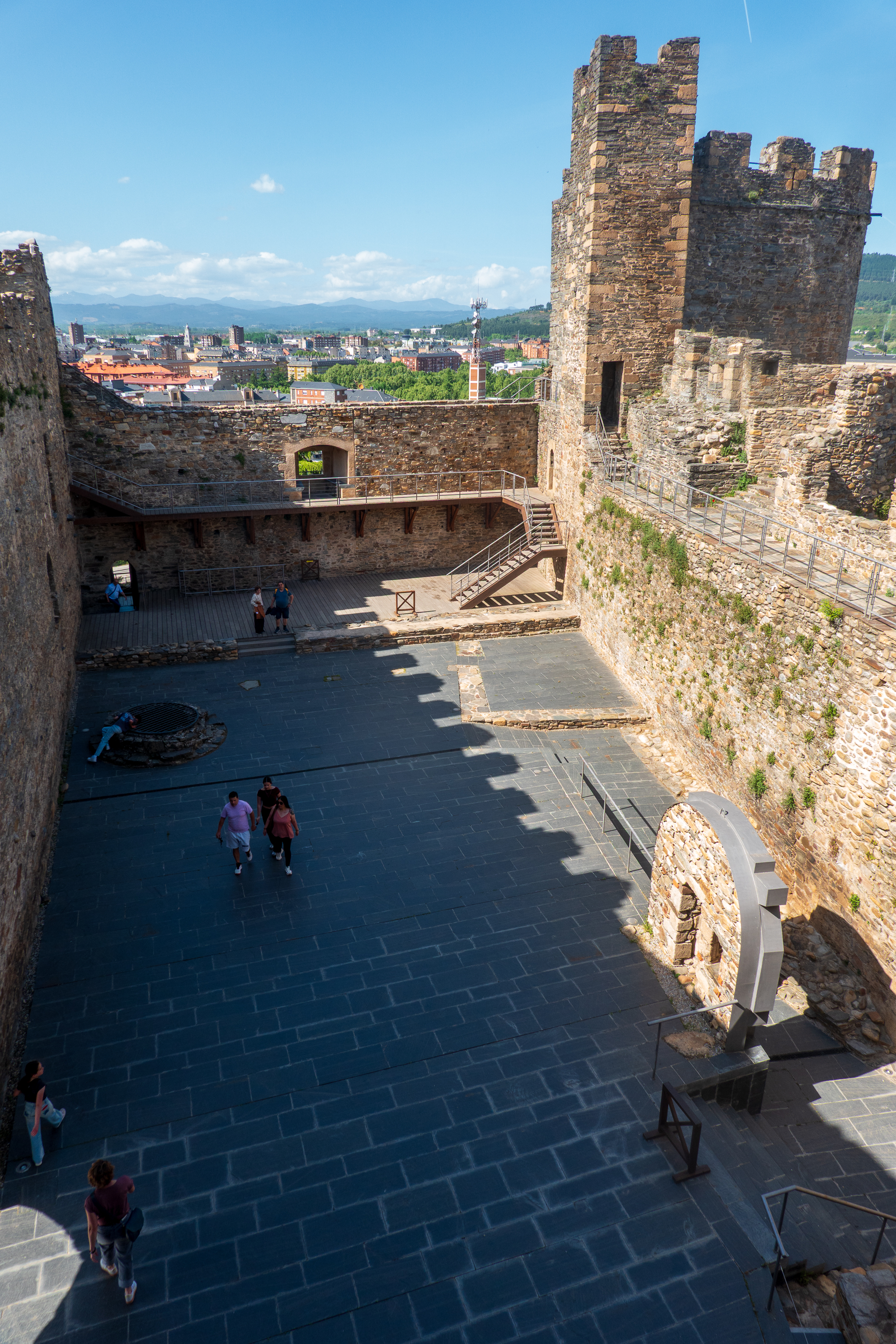
At about 4.30 PM we walked the half a kilometer or so to the Templar Castle, built to protect the pilgrims using the bridge on the Camino to Santiago. The site was originally a pre-Roman “castro” and then a Roman fort. It was used to protect pilgrims on the Camino, and owned by the Templar order for some 30 years. Afterwards it had many owners, many rebuilds, and is now owned by the Spanish government and is an excellent visit. There is next to nothing of the original Templar castle left, but it is a textbook example of castle construction and expansion.
The excellent museum displays have good information on medieval life and made one interesting comment on Spanish castles, both Christian and Muslim – they could have many purposes. One was, of course, as protection against invasion or Reconquista by Christians or Moors. The next was protection against or control of your feudal neighbors, and finally, in more modern times, conflict between Spain and Portugal.
View across the expanded outer ward towards the original, Templar castle.View down into the inner ward. If you look at the outlines in the modern pavement, you can see the foundations of what would have been the walls of the Great Hall, kitchens, well barracks, and other buildings.
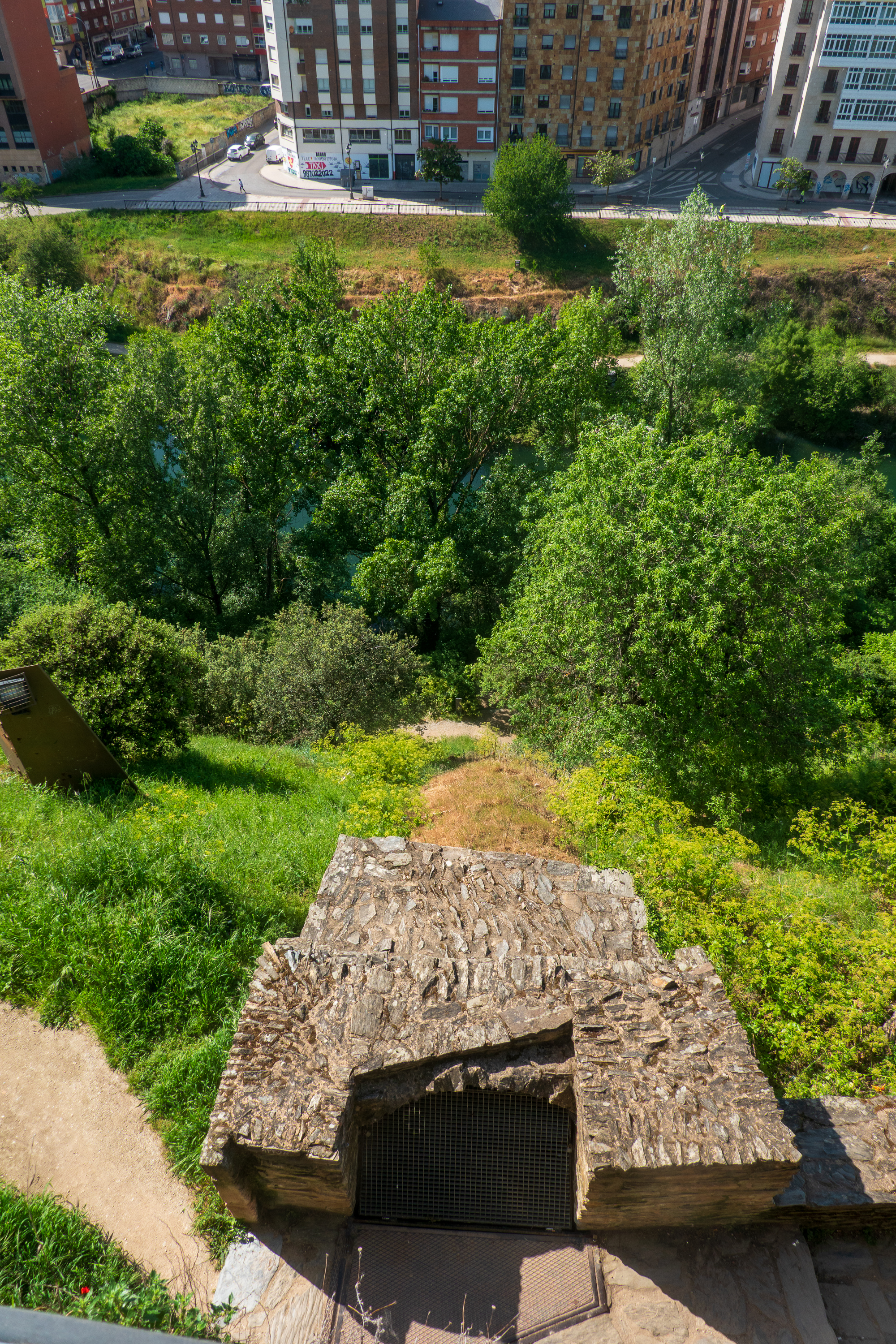
Entrance to emergency tunnel down to the river for water. Sadly, not open for touring!
A castle was an investment for the ages! And still a tourist draw today.
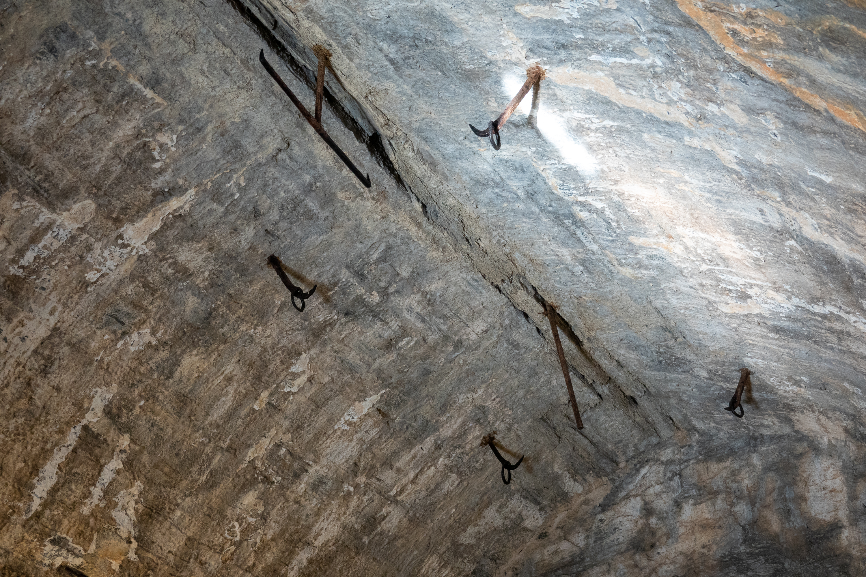
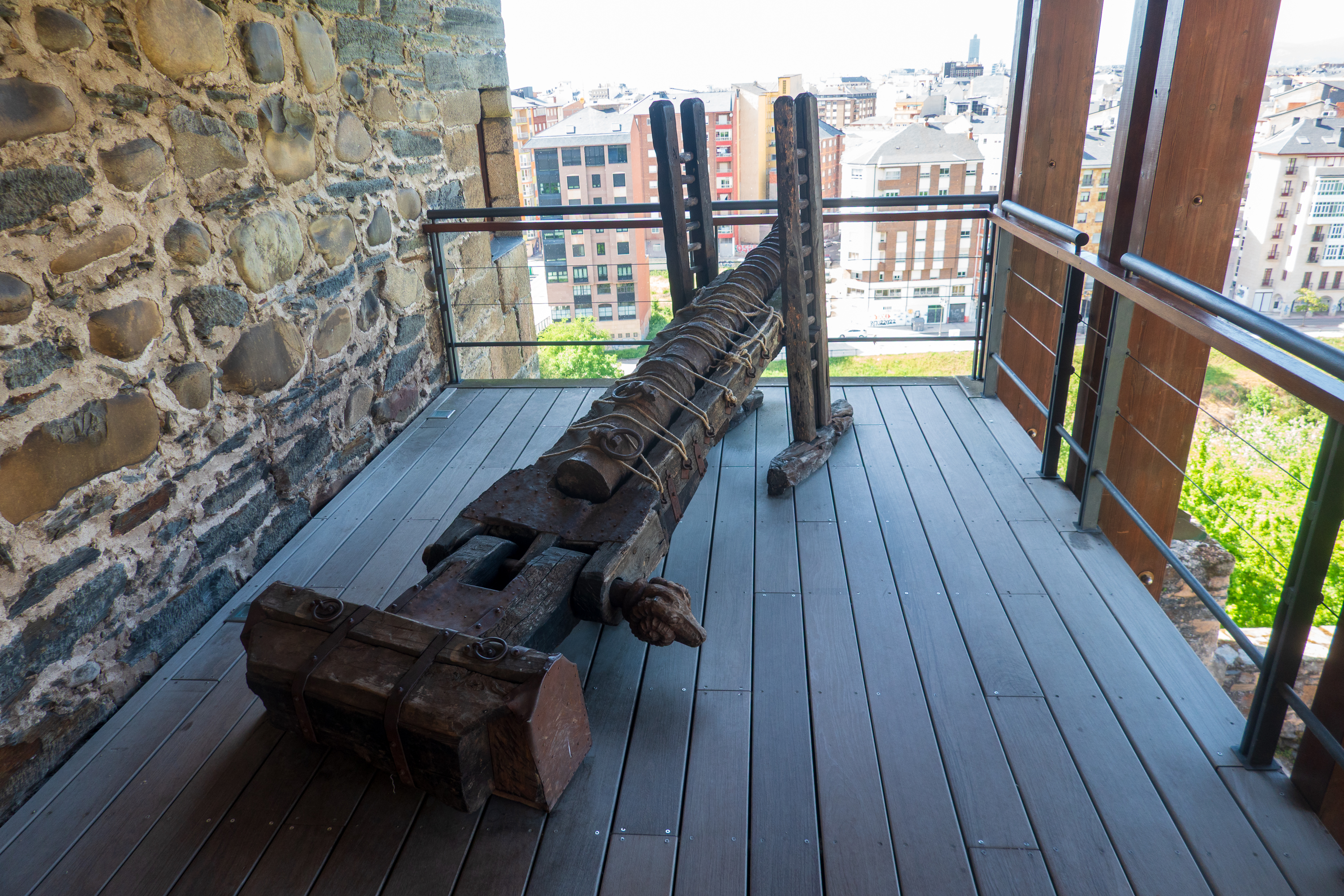
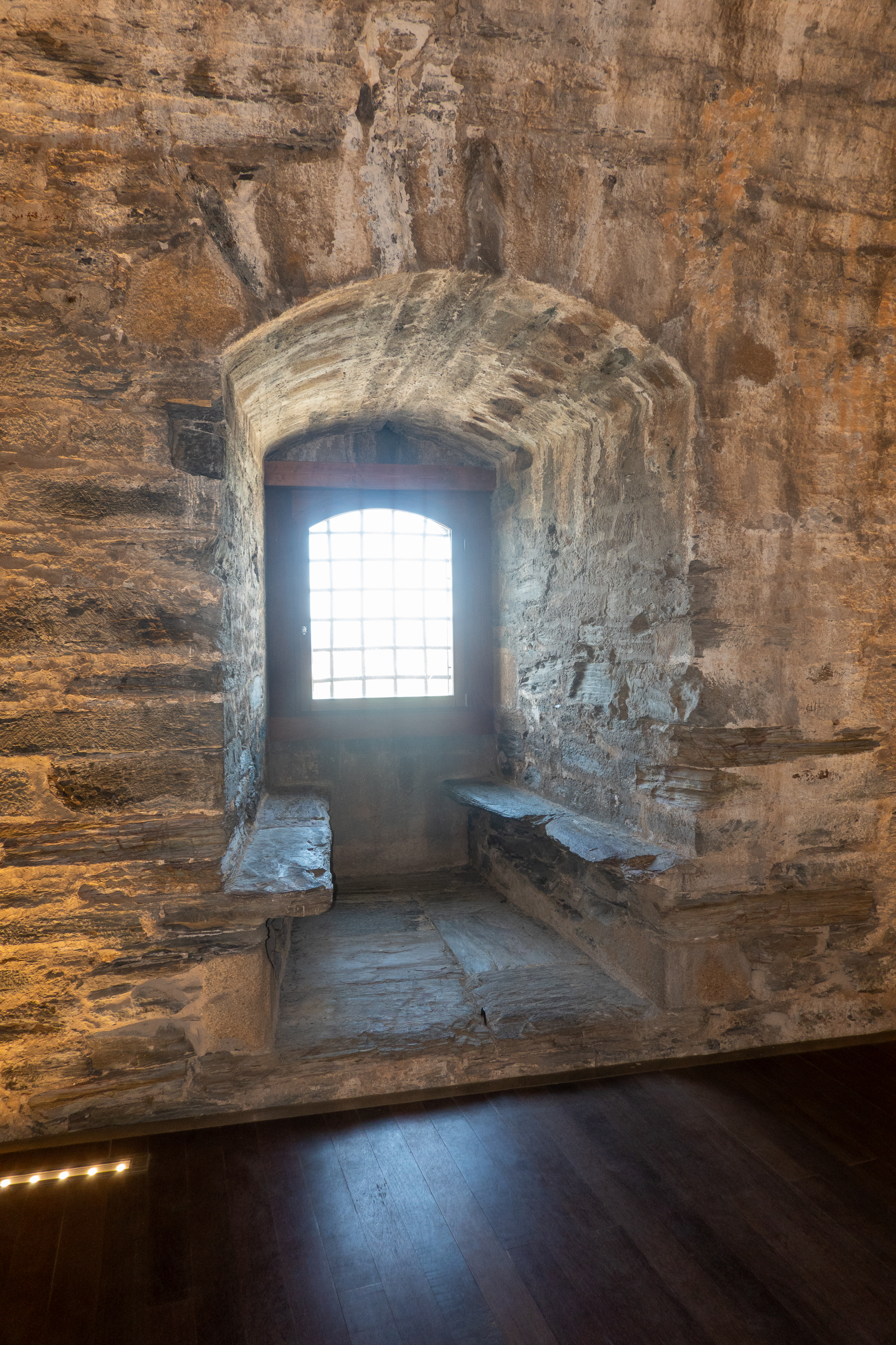
Interesting hooks in the ceiling. Purpose?Very early model cannon.Pretty window seat.
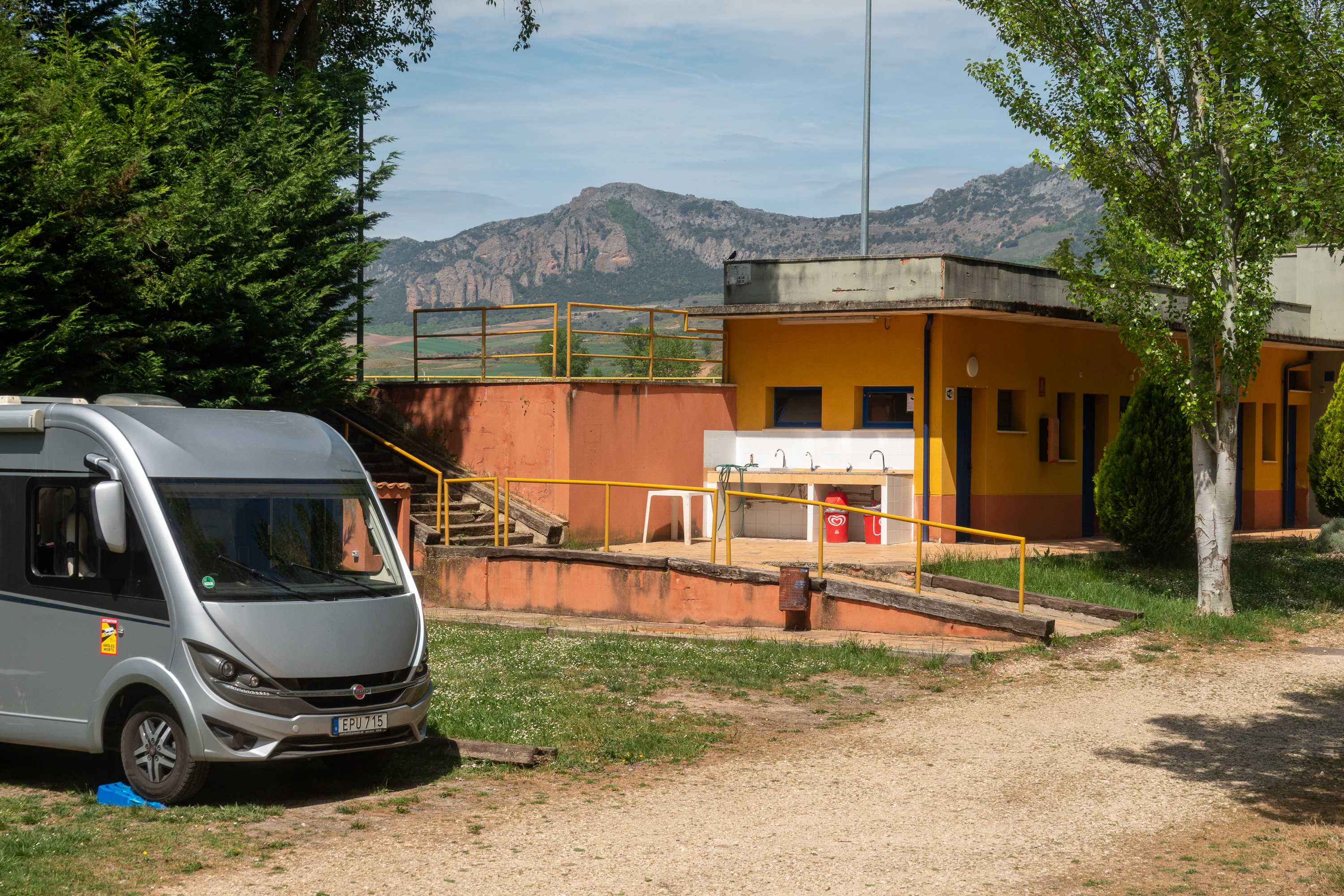
Continuing East we stopped at a funky little campground described as having a “GDR” vibe. (East German) That alone was enough to make us stop. While the site did, indeed, look very run down, it was very pleasant, almost empty, all of the facilities worked (sort of), and, when someone actually showed up, not expensive. Interesting that two of the people staying were tent camping from a car. Not as common as vans or motorhomes. (https://park4night.com/en/place/134997)
Even had a view of the mountains.
So When ARE you open?
We found that tourist sites often opened from 10.00 AM to 2.00 PM and then 4.30 PM to 8.30 PM. But some are open all day, with no lunch break. And the hours are reported differently by different, and sometimes even the same, website. It makes it hard to know when to go!
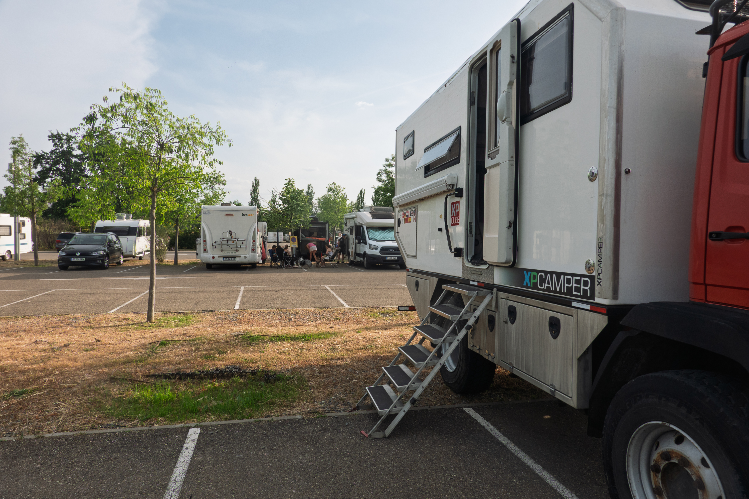
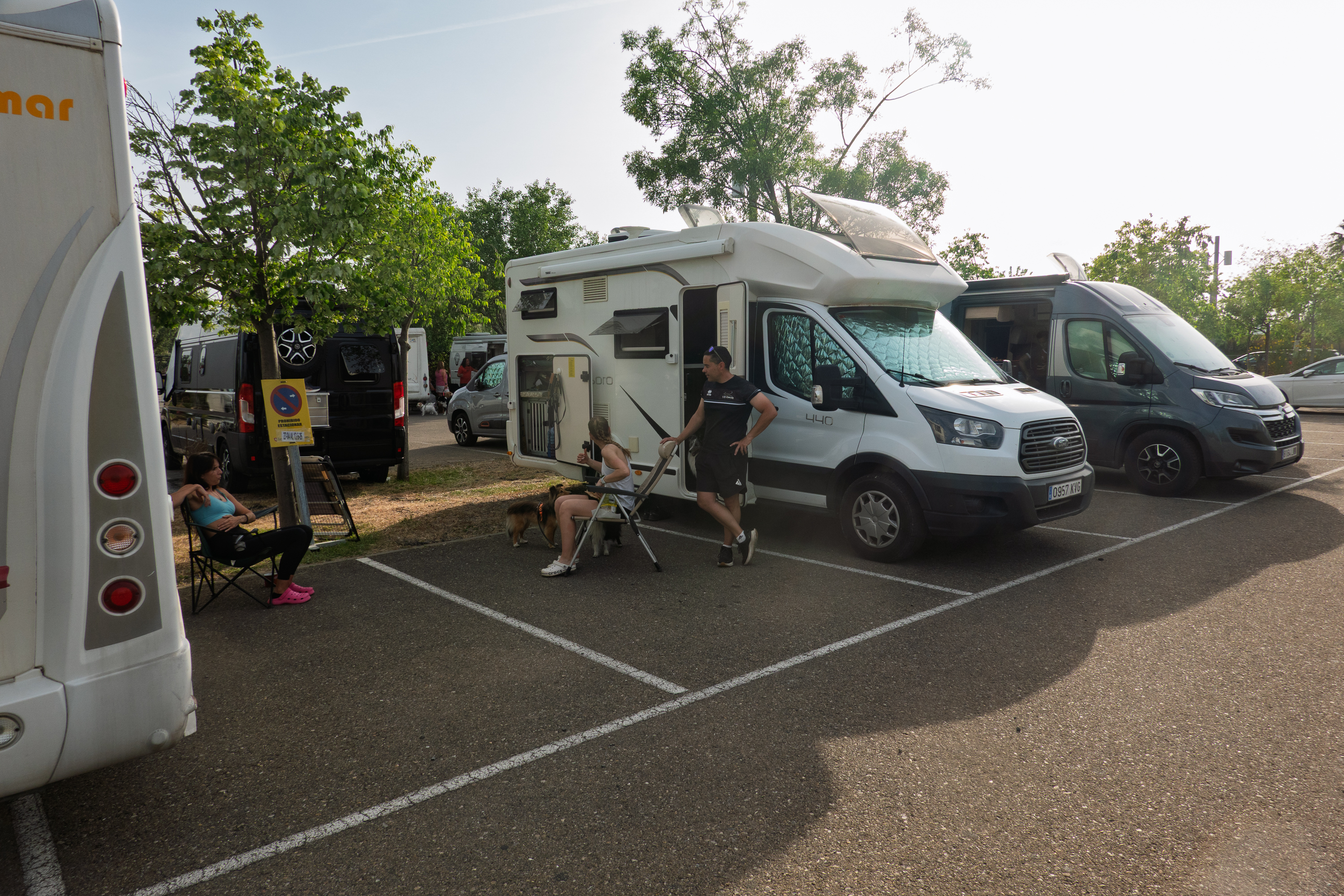
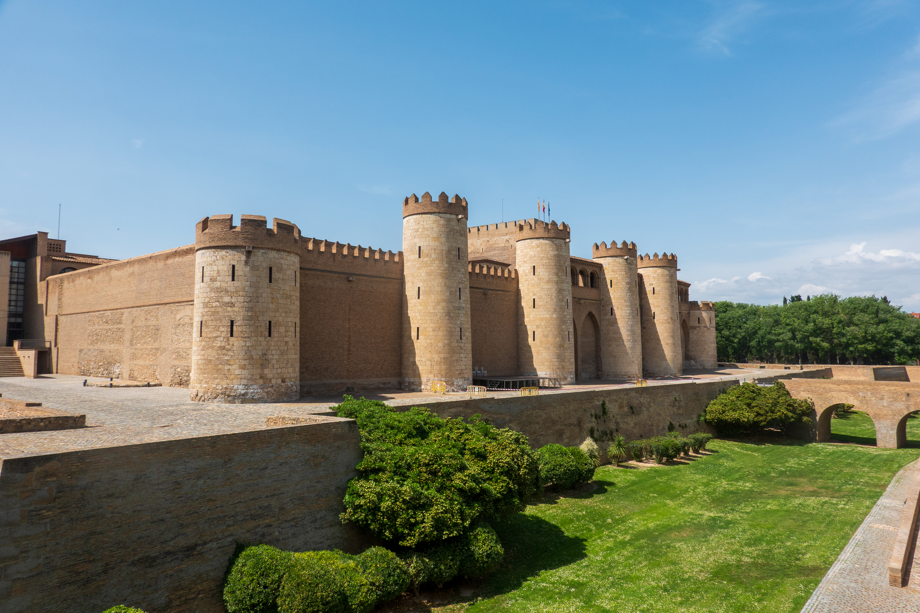
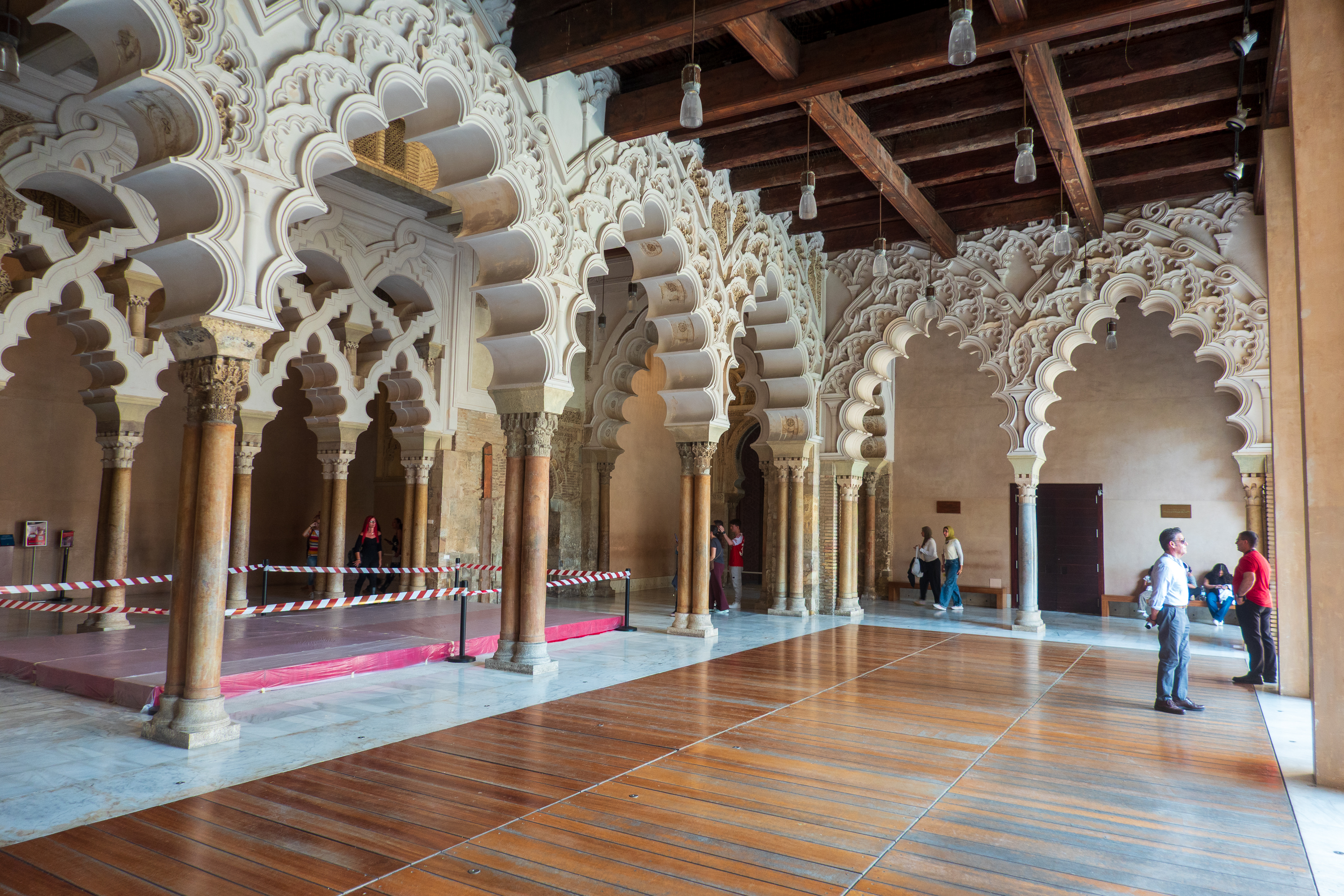
This we discovered in our next stop in Zaragoza, Aragon. We stopped here because Denise wanted to see the Aljaferia Palace, rumored to be Moorish architecture. It proved challenging. Car parks close to the Palace all had warnings of theft and damage issues on Park4Night. So we ended up in a lovely parking lot, about 30 minutes walk away, with a number of other campers all attending a dog show. There were lots of dogs!!
Not totally clear if overnight parking is allowed, but the dogs were out, people were using outdoor showers, and we were pretty confident that no one would bother us.
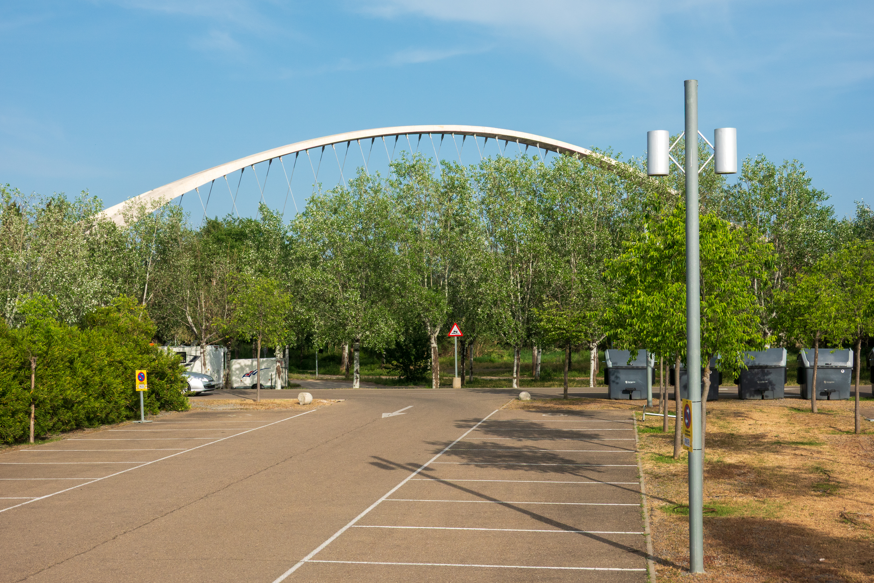
Moden bridge over the river.
We double checked the website and it stated that the Palace was open from 10.00 AM to 6.00 PM. So foolishly believing the website, we headed out on foot at about 2.00 PM. We were afraid of traffic on our bikes. That turned out to be a mistake, as there were huge bike lanes and quiet streets!
The palace expanded and contracted over the centuries.
We arrived, to find that it opened at 4.30 PM. Entry was free that day, but it was closed until 4.30 for special group visits. So, we had two hours to kill and no nice little cafes nearby to spend time in. We popped into a little store, run by Ecuadorians. We had a nice chat about the old country, but they did not have tables or coffee, so we kept walking. It was hot, but we found a local dive bar (cash ONLY!), bought a bottle of sparkling water, and had a surprisingly pleasant sit at their sidewalk tables. Heading back, we found a place to buy an ice cream and took them into the park to eat and sit a bit. Meanwhile the queue was getting longer and longer and it actually was almost 5.00 PM before we could enter. The last 30 minutes being spent standing in the sunshine in mid 80F temperatures.
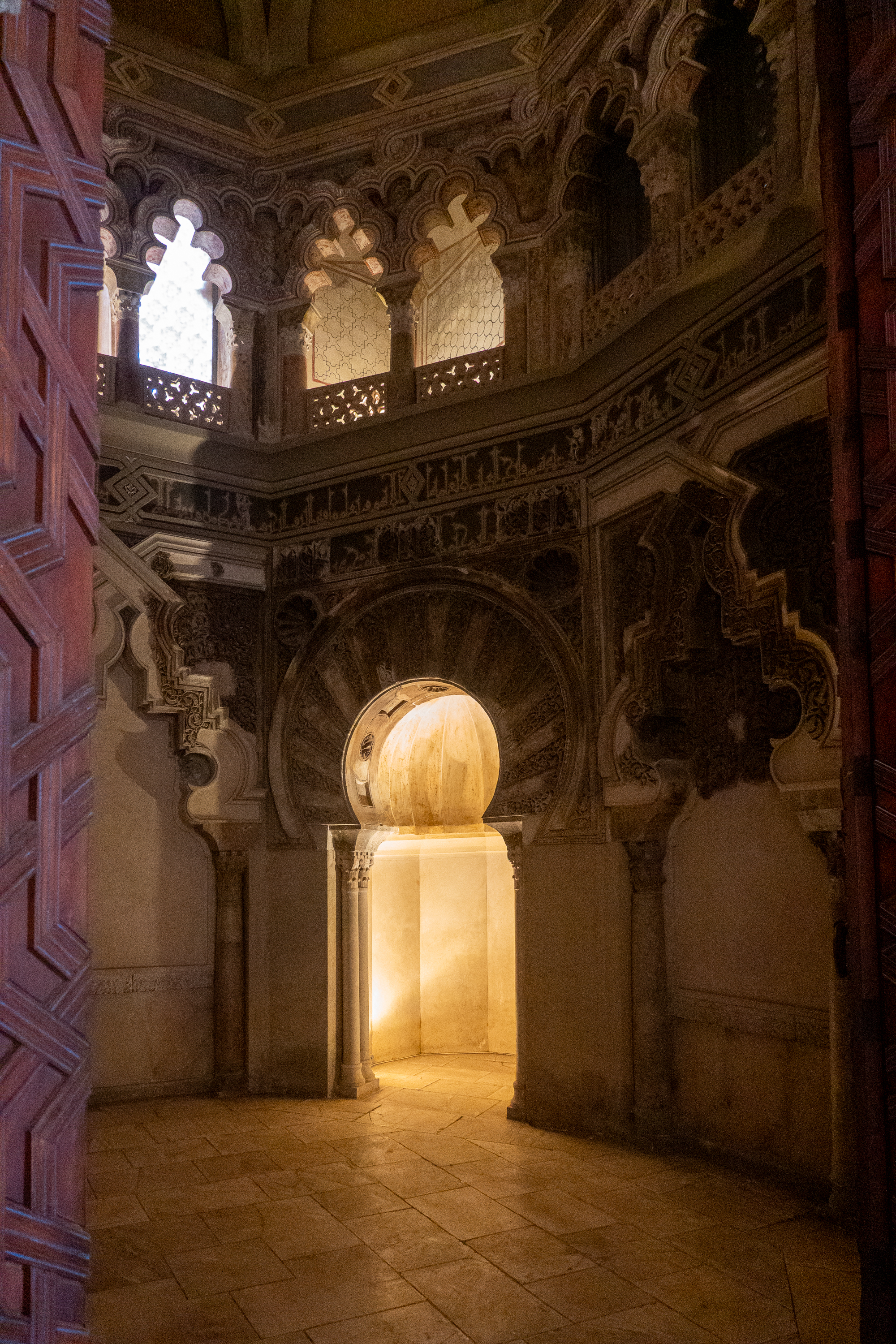
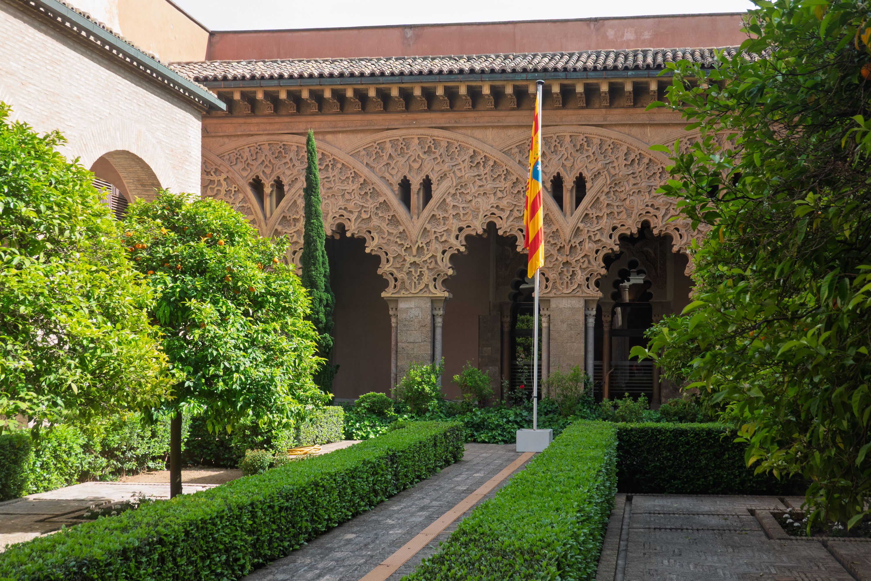
The Palace was most interesting. Fans of the movie “El Cid” may remember the Moorish emir that El Cid spares at the beginning of the movie, al-Mu’tamin. Brilliantly portrayed by the British actor, Douglas Wilmer, the real Mu’tamin provided the real Ruy of Vivar with refuge and employment when the later was exiled by King Alphonso. (https://en.wikipedia.org/wiki/Yusuf_al-Mu’taman_ibn_Hud )
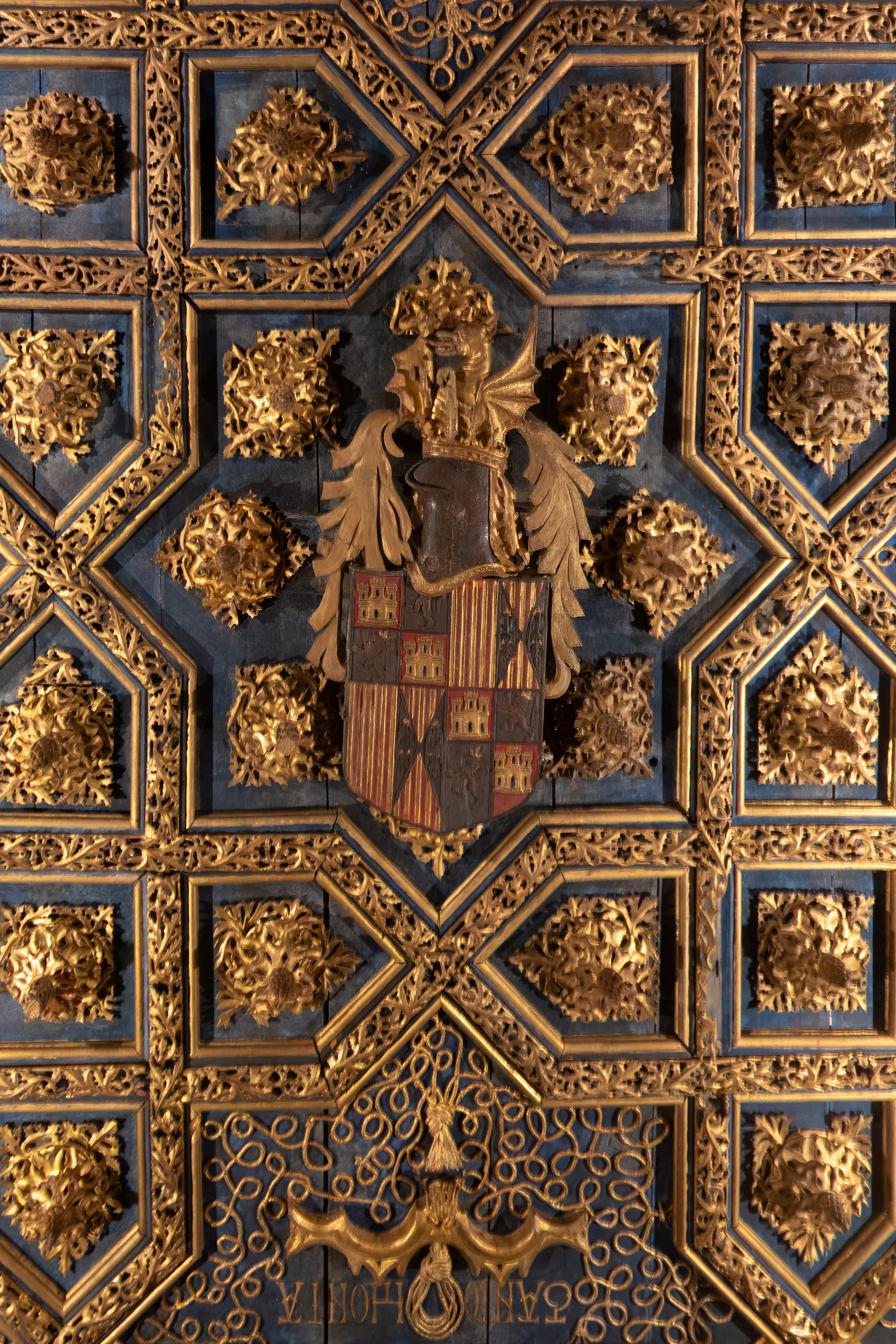
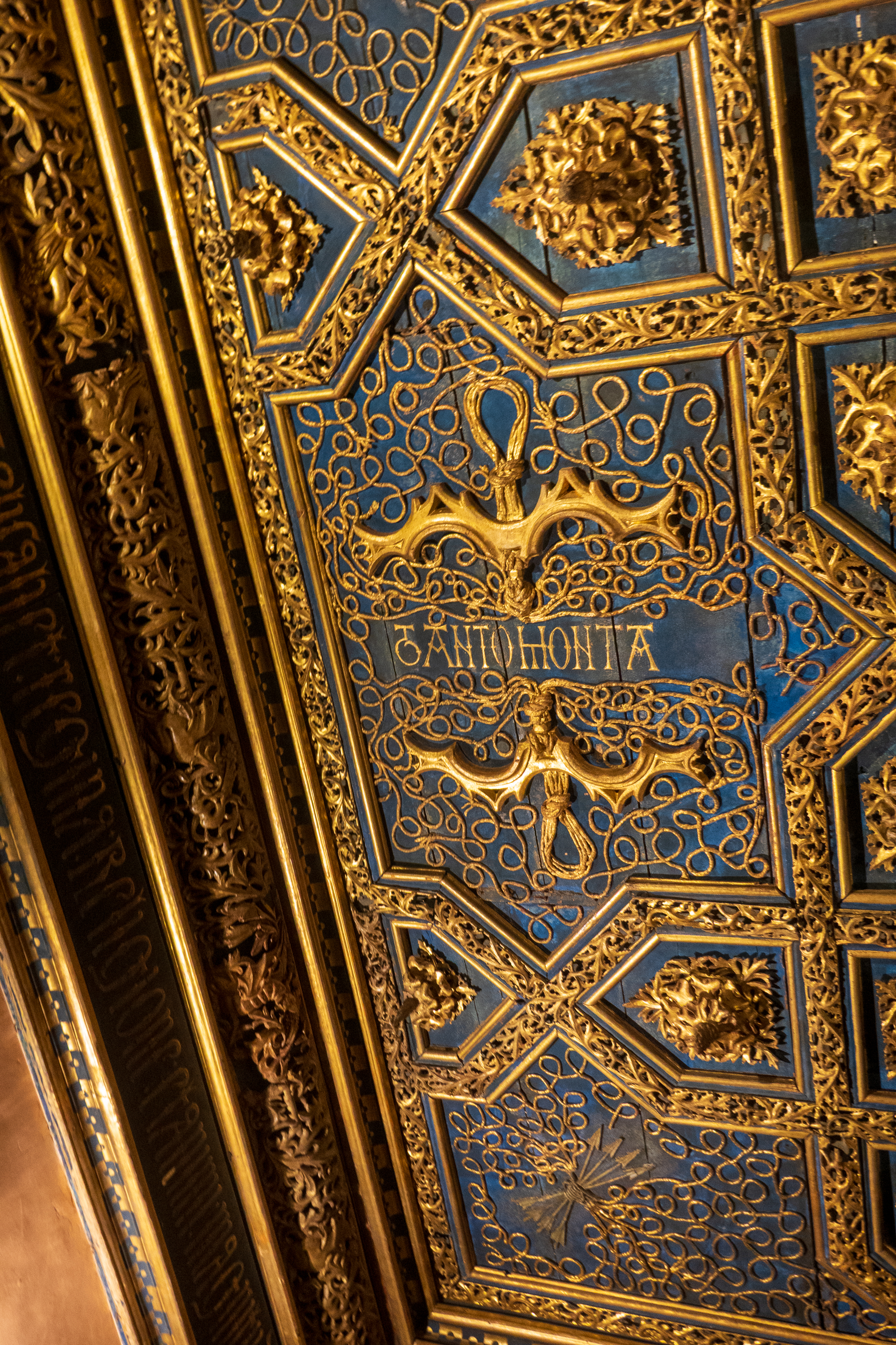
Mudejar art. A Moorish ceiling design, with the Castille and Leon coat of arms.
Echos of the Alhambra and Morocco.
Here again, as in southern Spain, we found the “tanto monta” motto of Ferdinand and Isabella. Hard to love these Catholic monarchs, but the motto which means that whatever one says goes for both, was remarkably progressive for an age when queens were more often considered property of their husbands than actual rulers. (https://en.wikipedia.org/wiki/Catholic_Monarchs_of_Spain)
There was still a long line to enter when we left about 6.15 PM but we were fortunate enough to find a taxi with a most pleasant driver, who was happy to return us to our camper.
Santiago de Compostela is best known as a pilgrimage site. We found that it has a wonderful, happy vibe. And it wasn’t just the pretty weather.
So, who was Santiago, or, if you prefer, Santiago Matamoros, or Saint Iago, Jacob, or any number of other names and spellings? For example: James, son of Zebedee, James, brother of John, Saint James the Great, Saint James the Greater, St. James Son of Thunder, St. James the Major, Saint James the Elder, or Saint Jacob, James the Apostle or Santiago. Also Thiago or Diego, depending on your choice of languages. (San Diego, anyone?) Basically, he was one of the original Apostles, the second to die, the first to be martyred.
He is also the patron saint of Spain.
According to Spanish belief, James made a trip to Iberia (Spain) to preach and, thereafter, returned to Judea, where he was beheaded by “Herod.” (Herod Agrippa?) There is a chapel in the Armenian sector of Jerusalem, on the site where it is said that he was beheaded and where it is believed that his head (at least) is still buried. Some part(s) of his body were then taken to Spain and buried at the site that would become Santiago. These relics were discovered in the 9th century and Santiago became a site of pilgrimage, a pilgrimage that continues to this day, the “Camino de Santiago.” (https://en.wikipedia.org/wiki/Camino_de_Santiago )
We crossed parts of the Camino during our travels in Germany and, last year, Carlos and Magy took us to the site of the battle of Clavijo, so we had already developed an affinity for Santiago. (https://diplostrat.net/2025/07/01/out-of-spain/ ) It was Saint James’ miraculous appearance at the Battle of Clavijo that routed the Moors and established him as the “Matamoros,” the Moor slayer. By the way, Carlos and Magy send their regards from Senegal, where they are awaiting the dry season in September. And they are still urging us to come join them on their trip to South Africa! (https://erg-adventure.com/2026/04/29/dejamos-atras-el-sahara-y-entramos-en-senegal/)
A Happy Place
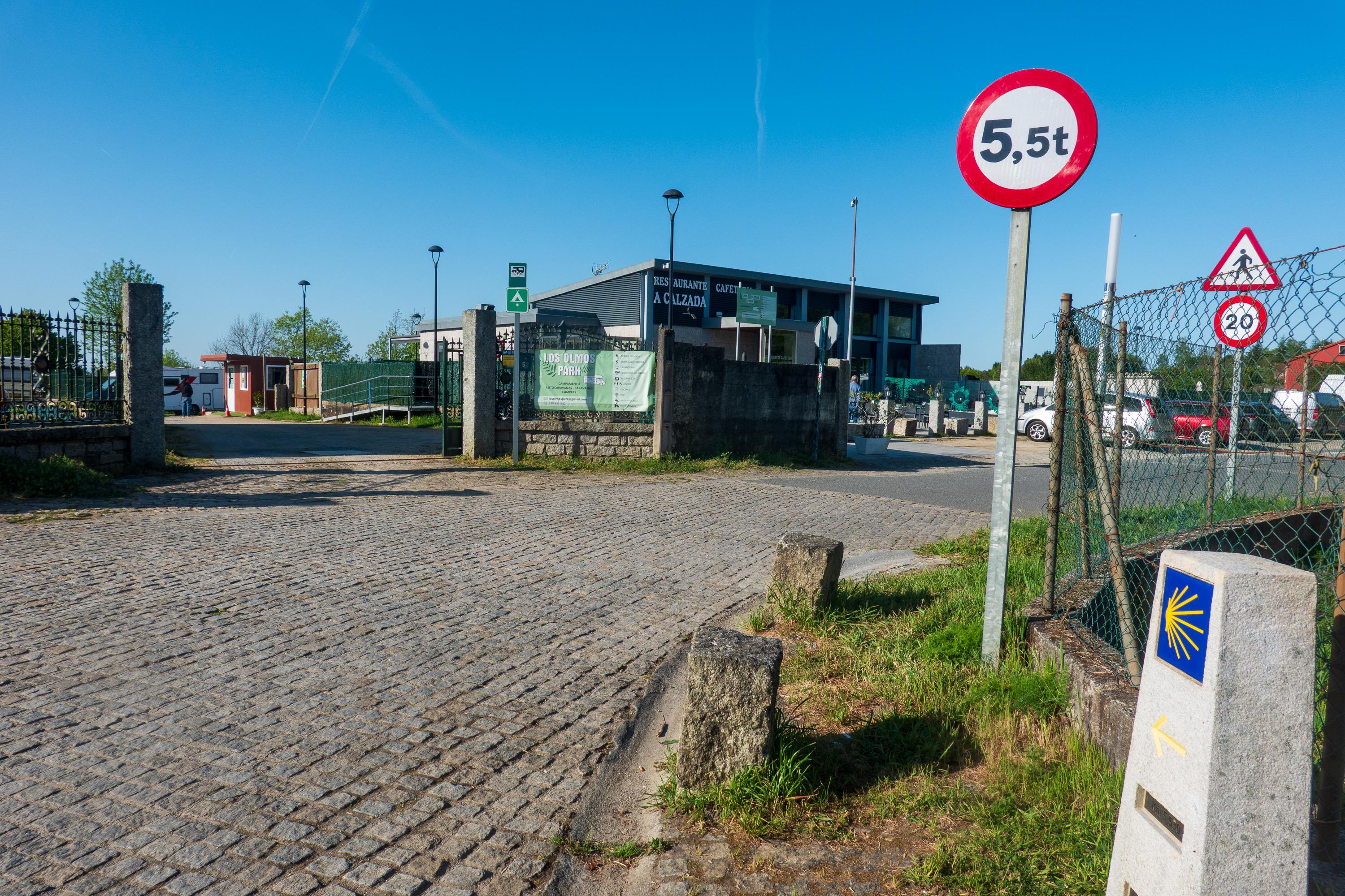
But back to Santiago de Compostela. We started our visit to the city by picking a camping location. There were three possibilities and we picked the middle one because it was close to the bus route into town. It proved to be an excellent choice, the owner was most helpful and the services were excellent. And it was right on the Camino.
The blue field with the yellow scallop shell motif is the Camino marker. This one is 5.5 km.
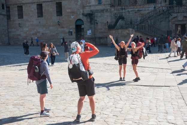
Our first morning, a Sunday, we set off to discover the town. Watching the pilgrims walking (or staggering!) in to the square by the cathedral has a lot of meaning, even to those of us who have not walked the Camino. We have friends from Arlington who would be arriving the following day after walking just over 100 Km and we were excited to see them and congratulate them. We have other, overlander, friends who have also done part of the Camino.
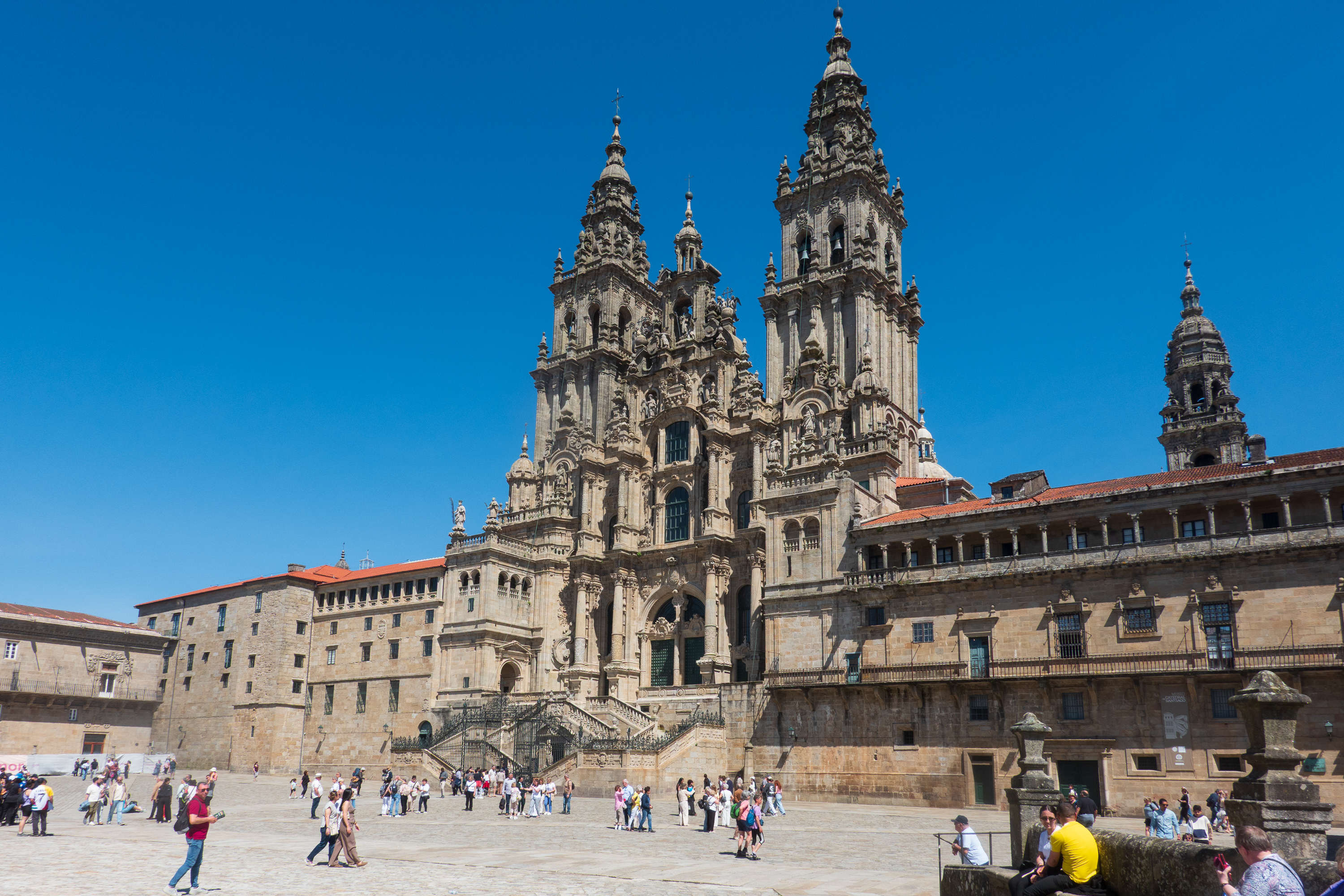
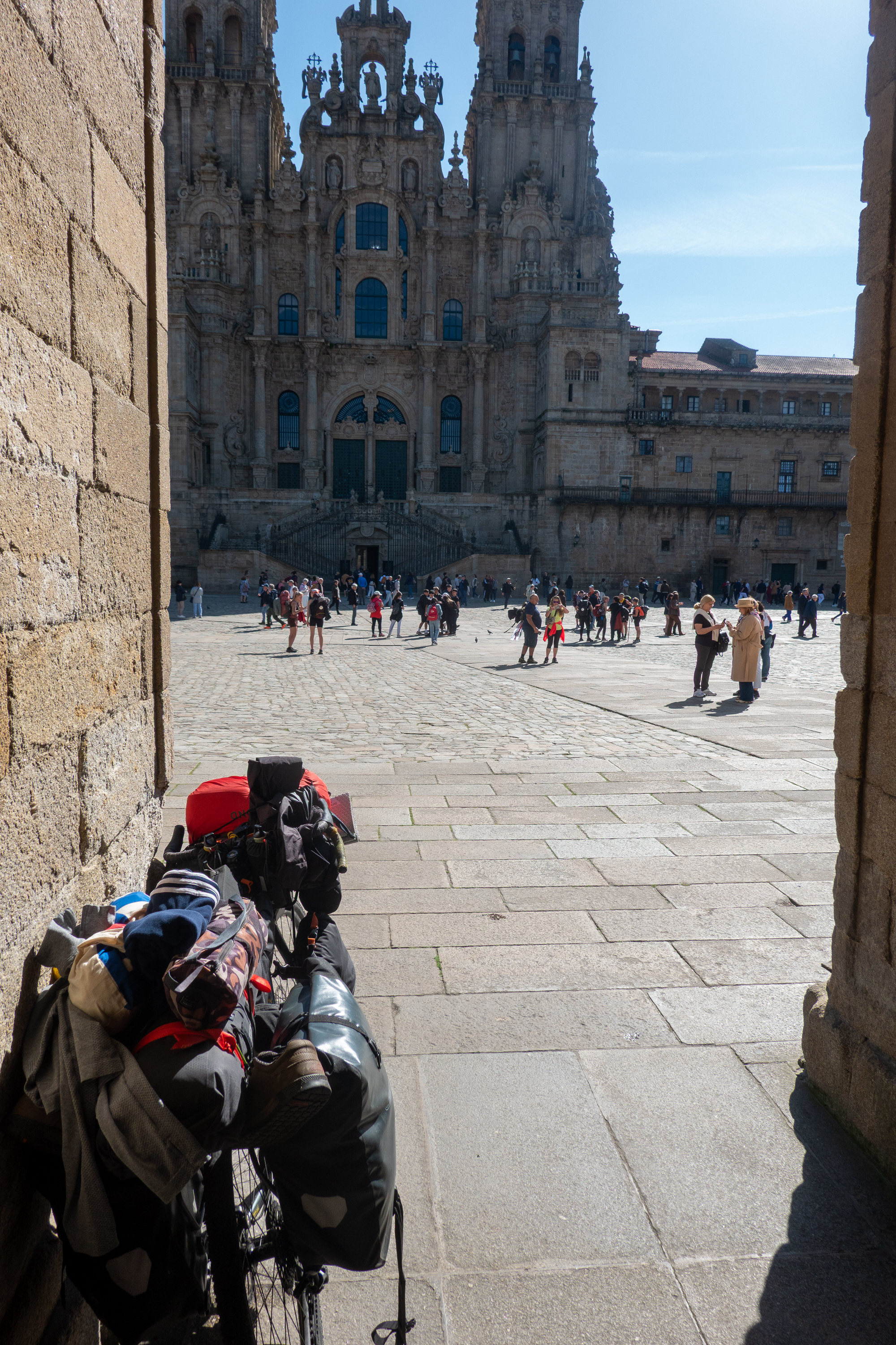
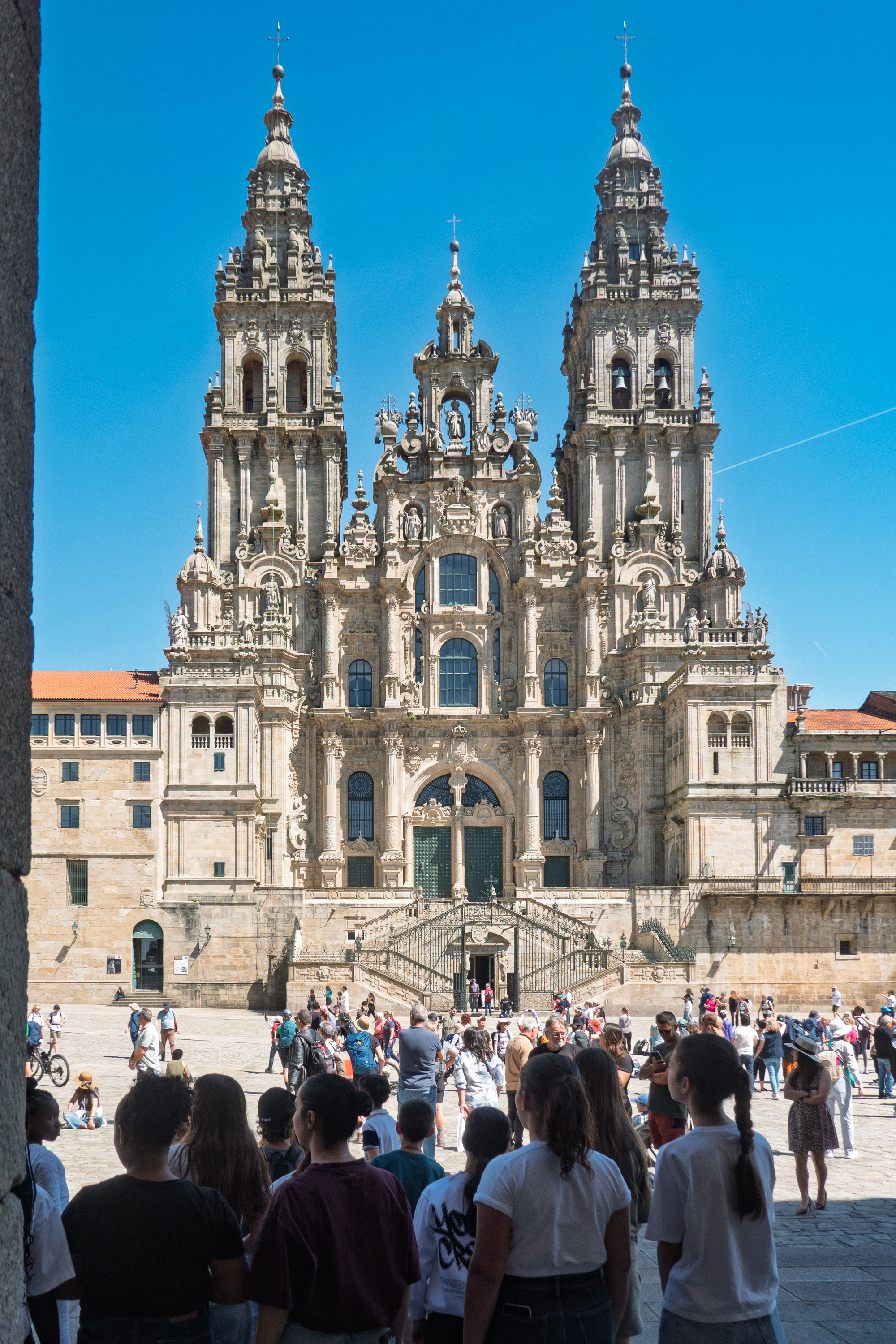
We then went to the main square, Prazo do Obradoiro, in front of the Cathedral. A huge open space, it thronged with arriving pilgrims, tourists and, on the Sunday afternoon, a children’s choir! The whole place simply has a happy feeling.
Touring bicycles always remind us of our bicycle tour of Normandy back in the 1980’s.
Children’s choir.
We started with the Museum of Pobo Galego, or the Museum of the Galician People, housed in a former convent. (https://museodopobo.gal/en ) On the way to the museum, we passed one side of the cathedrals and enjoyed the bells.
Happy Bells!
We had no idea that Galicia was so different from the rest of Spain. The language, Galego, is a mixture of Spanish and Portuguese and the culture is quite different. This Museum explained a lot and it was a great visit.
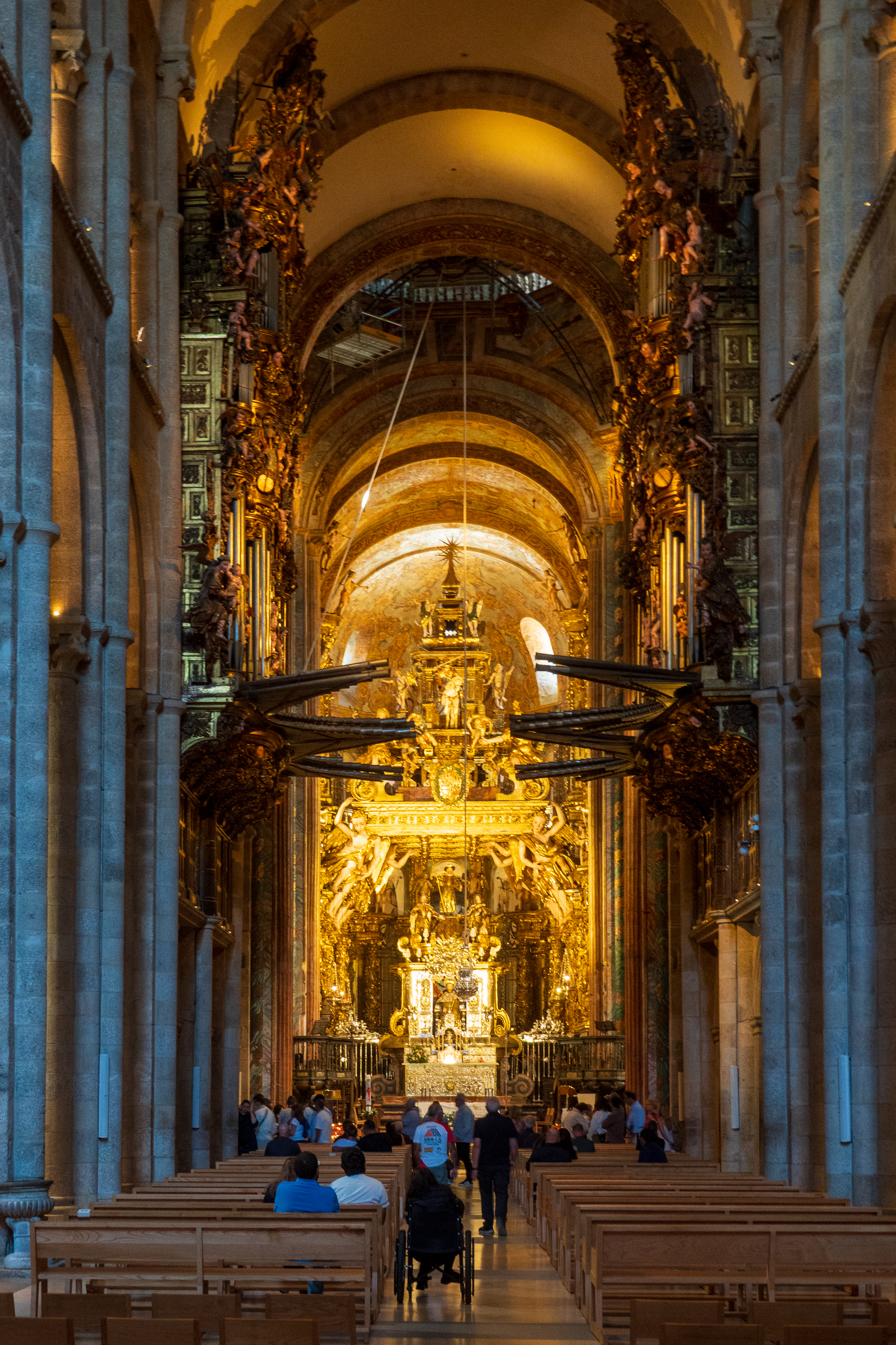
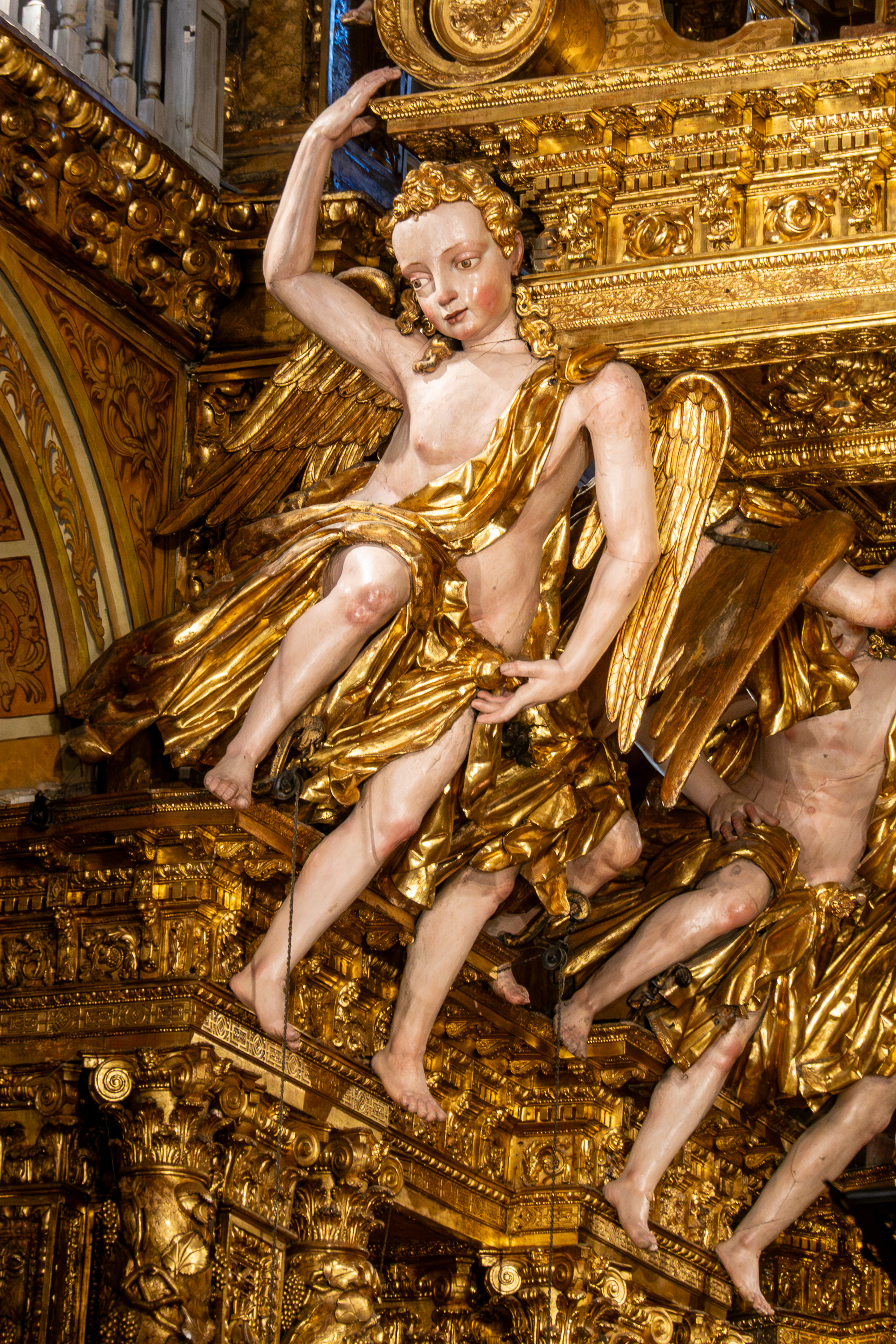
Back on the square, we finally found the entrance to the cathedral, on a side street, and went inside for a look. The cathedral was built between the 11th and 13th centuries on the site of a 9th century basilica, and is one of the greatest Christian shrines, due to the fact that the apostle, St. James, is supposed to be buried there.
Like some other Spanish organs, this one features huge trumpets on each side.
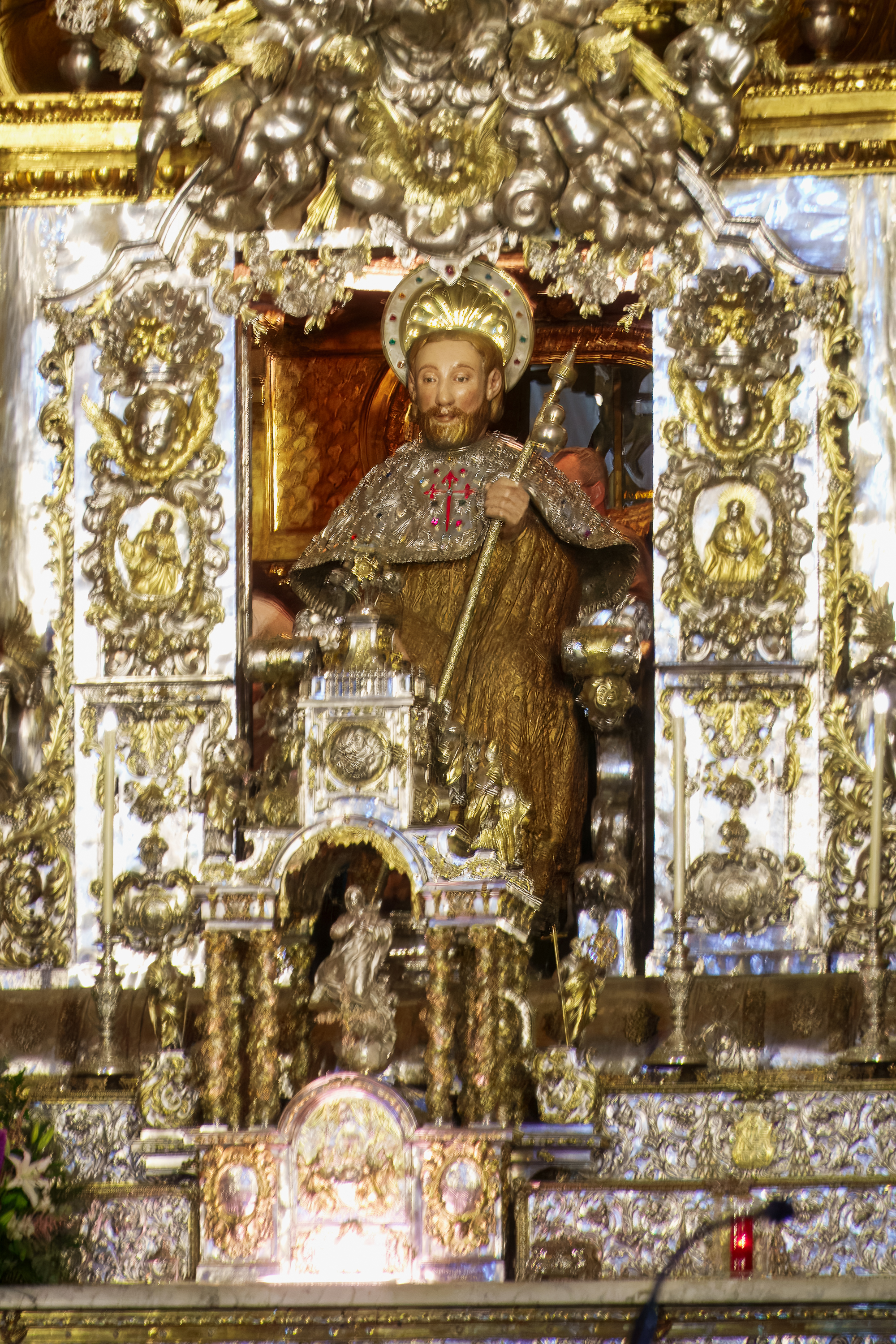
Along with all the other tourists, we passed behind the statue of St. James and touched his shoulders for luck.
The ceremony is to pass behind this statue and to place your hands on his shoulders.
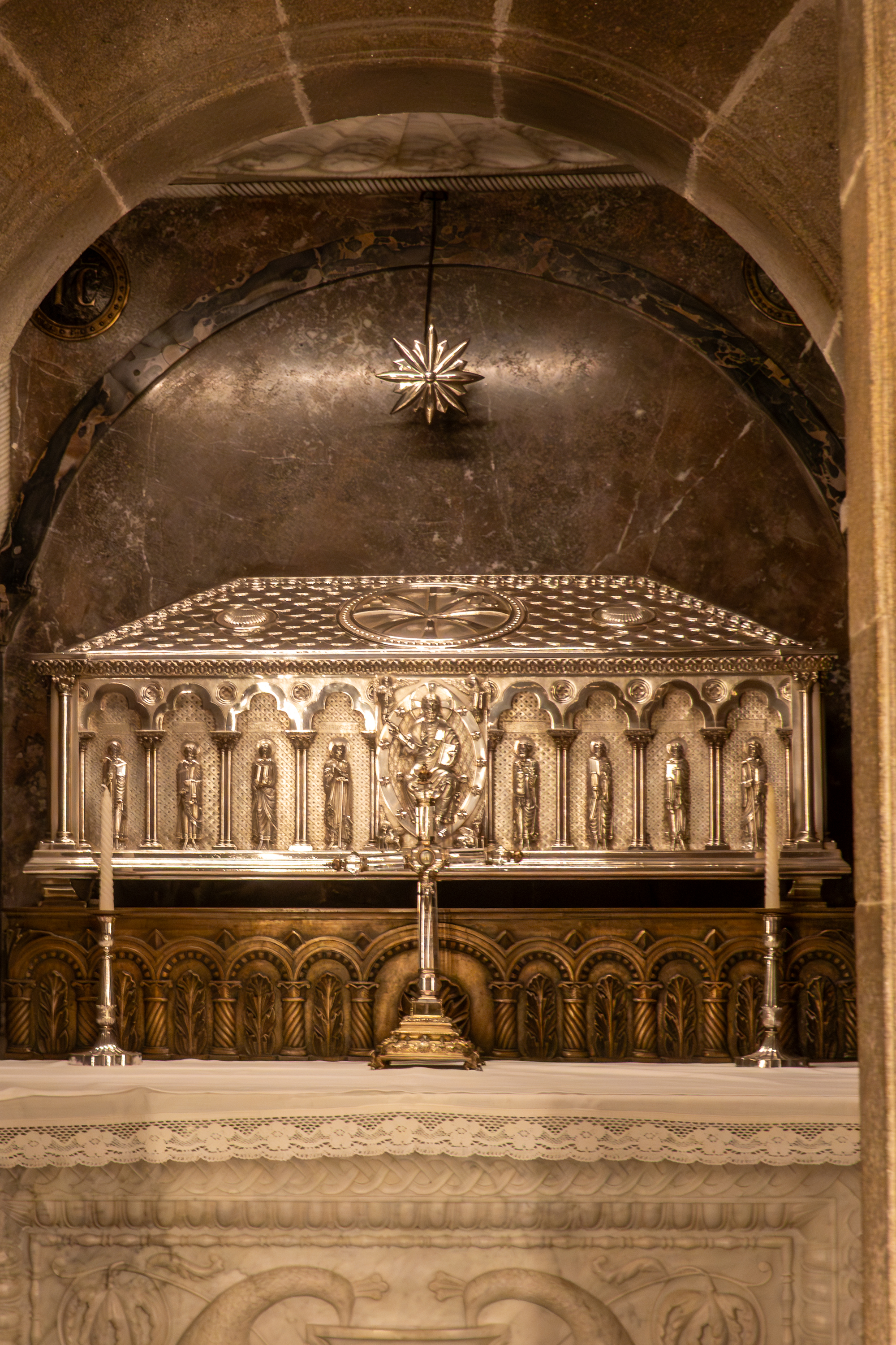
The sarcophagus under the altar.
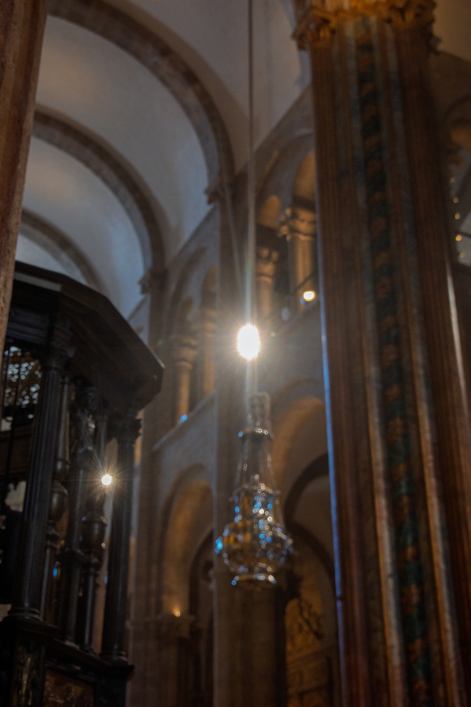
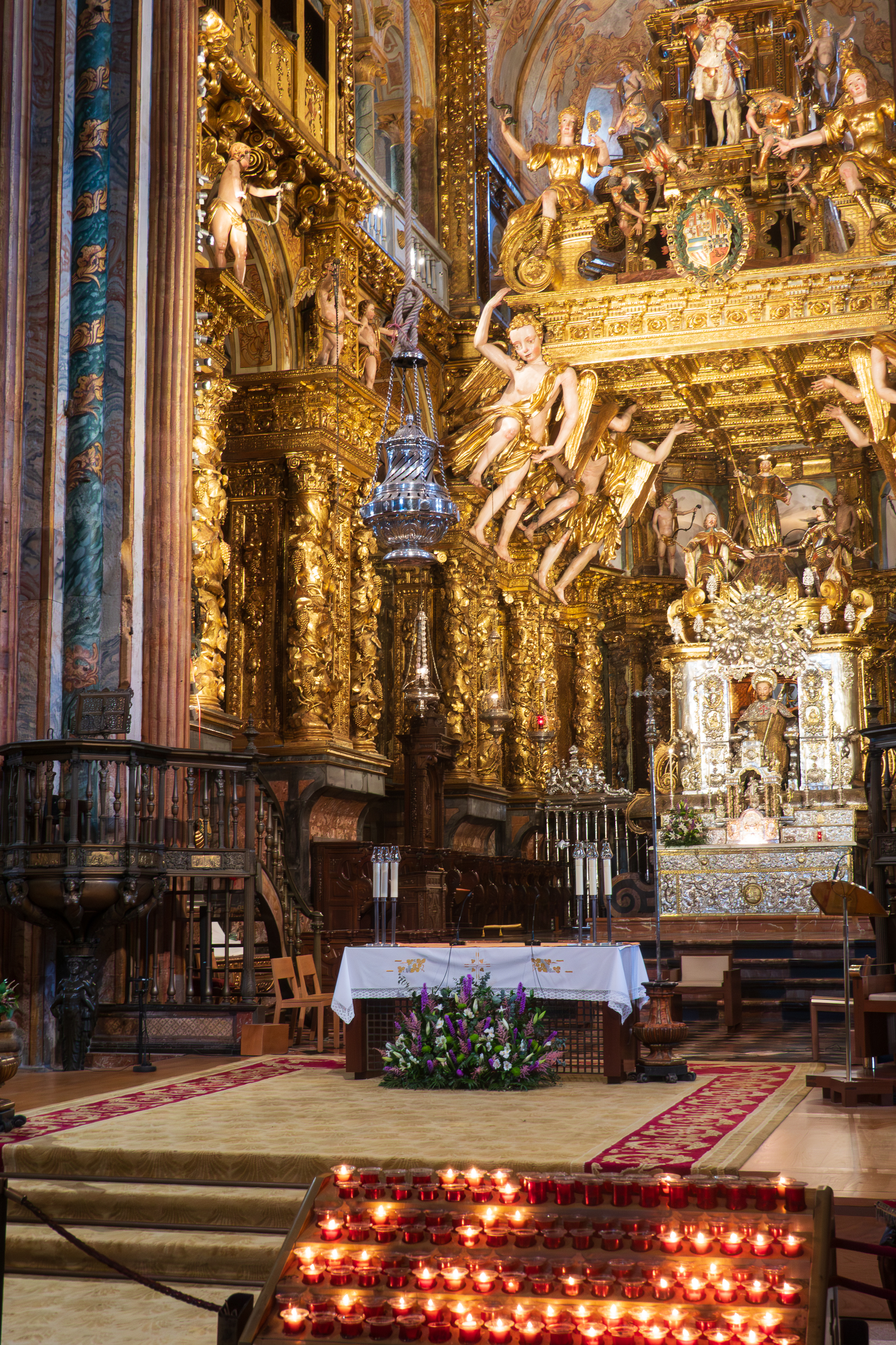
It is an imposing cathedral with a huge botafumeiro, or incense censer which swings over a huge arc of at least 20 feet.
Just could not get a good shot of the incense censer.
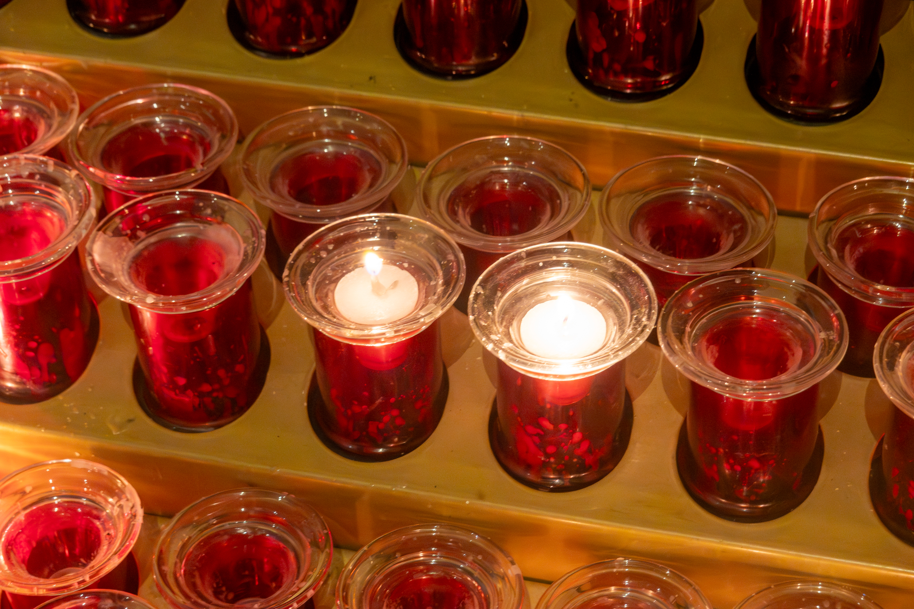
We ALWAYS light candles. The world needs it right now.
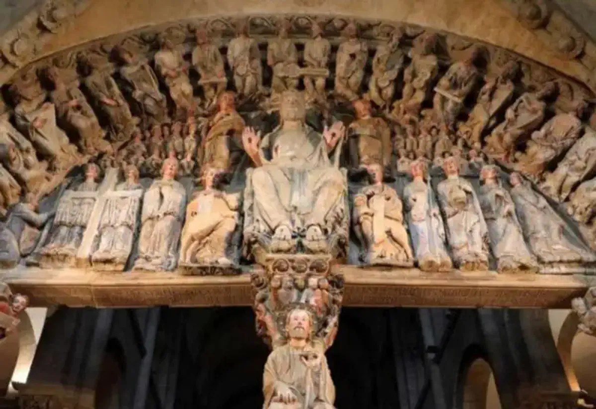
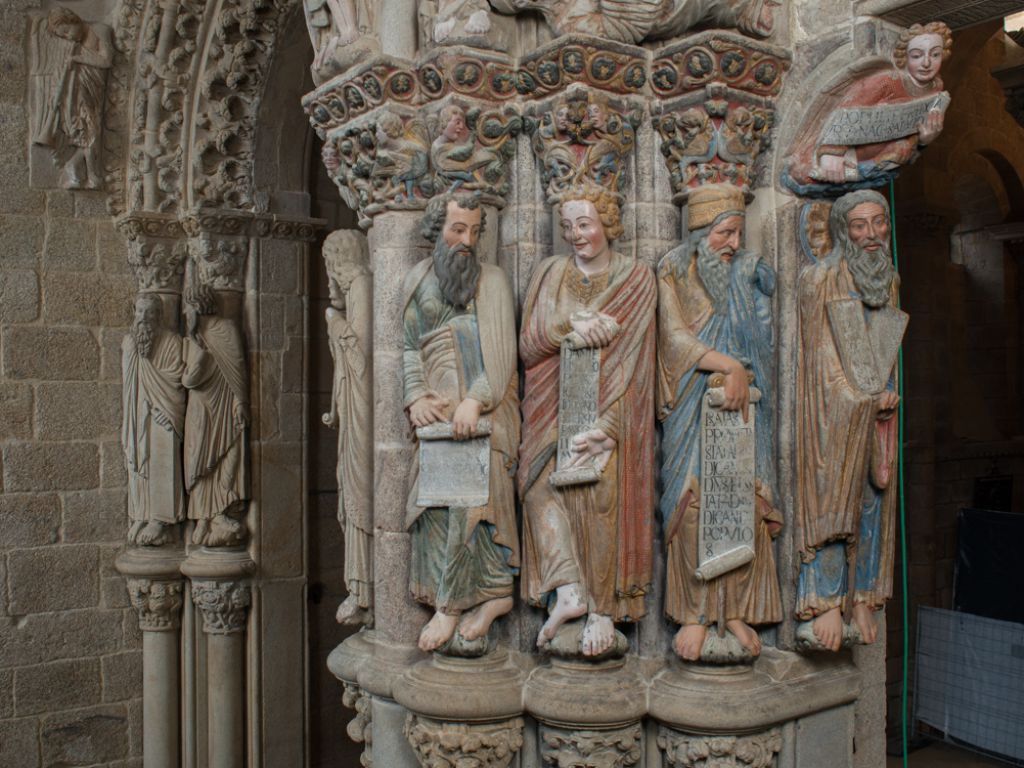
Monday morning our friends walked right by our campsite in the morning and recognized our truck. We had a quick consult and arranged to meet later in the day. They then continued their walk along the Camino. We, on the other hand, took the bus into town, to find it far more crowded than it had been on Sunday. Tour groups galore! The Museum we had hoped to visit turned out to be closed in spite of the information from our guide book. Grrr! So we went to the Museo Catedral de Santiago instead. This included the Portico de la Gloria, which used to be the entry to the Cathedral but is now blocked off and only visited for a fee!
Photography is prohibited, but there are photos on the web.
The portico was originally all polychrome.
While we were visiting the Portico the Pilgrims’ Mass was concluding so we managed to see the botafumeiro swinging and to hear the magnificent organ. We regretted not attending the whole service.
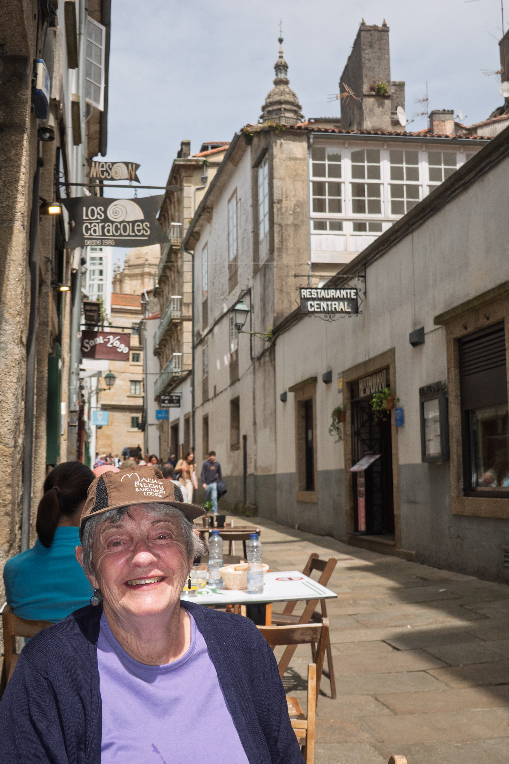
We enjoyed a leisurely lunch, with a charming waiter and Cuban serenade, before meeting our friends in the square.
Lunch with the cathedral spire just peeking over the street.
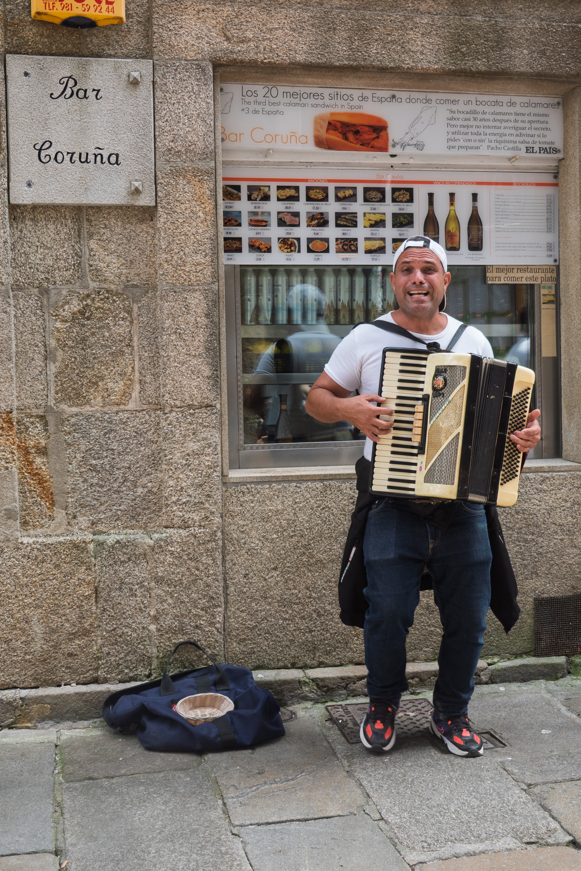
Gentleman claimed to be Cuban. We tipped generously on condition that he NOT play “OneTonnaMierda!”
Denise wanted langoustinos and she got them!
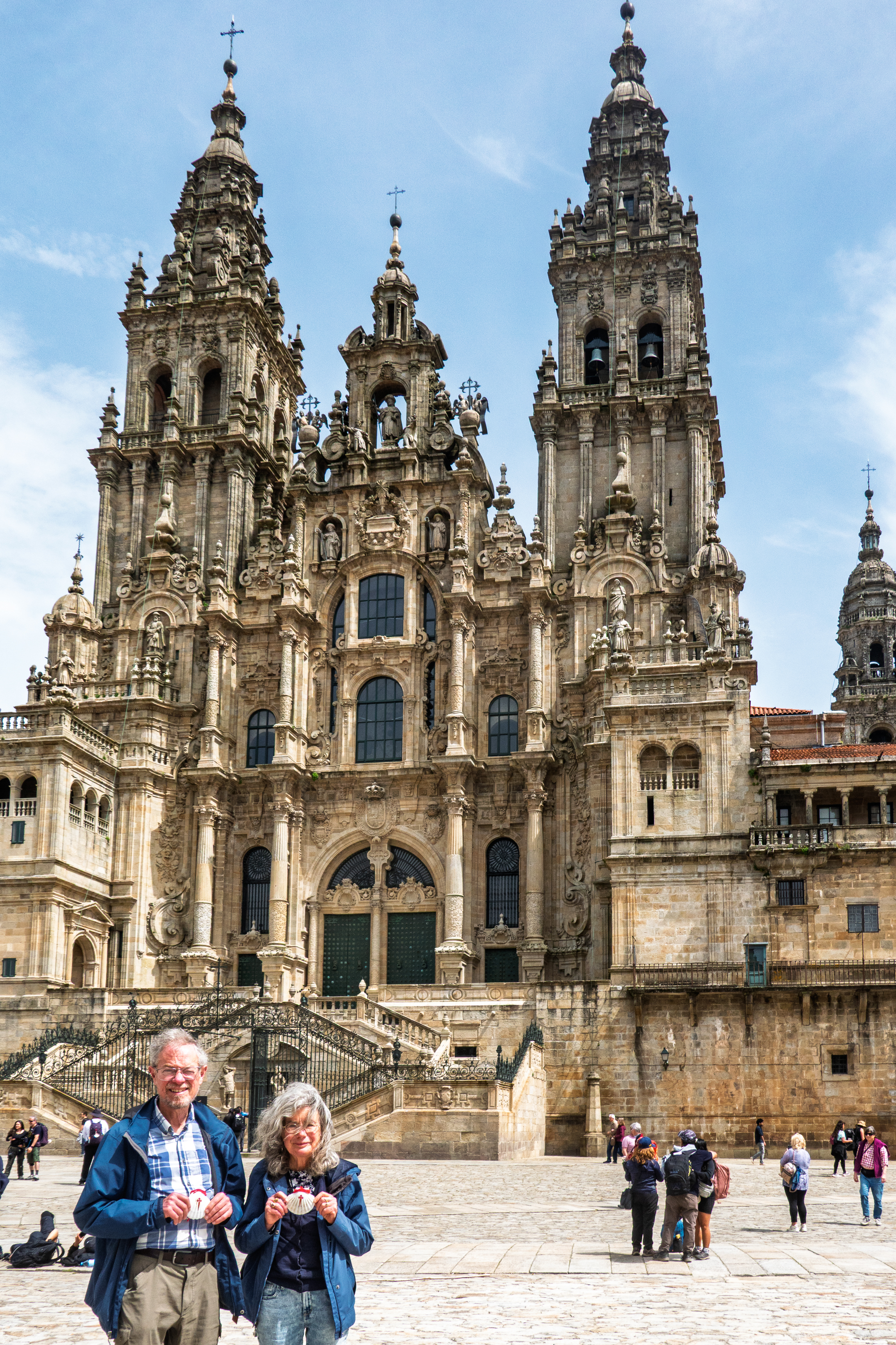
Showing off the Camino shells. But more of a hike than our usual toddles on the Arlington bike trail!
After meeting up with our friends, we returned to our lunch restaurant for coffees, and to hear tales of the Camino. We then headed back on the bus and our friends went on to complete their pilgrimage. A very successful visit.
Our (hopefully) final European year of wandering has begun. We flew to Heathrow and stayed in the Doubletree Cadbury House Hotel, near Bristol, as usual. Matt and Janet joined us for dinner, which was fun. Matt has stored our camper for us during our three years of absences! (https://thatleisureshop.com/?srsltid=AfmBOoqYPXceGRY5GWcmnCJu2rMIJNdnPMY1gwi0RCC7XqjCpIZRXNEZ) He then picked us up the next morning, took us to the camper and gave us a first load of water to get started.
We then headed north to visit Sue and Trev, friends of Denise’s from university days. We had managed to miss them on all our former camper jaunts so it was great when we found a field to camp in only four miles from their home. The trick was that the GPS decided that the 100 meter direct access to the farm was prohibited, and sent us down through the middle of town and then 10 miles round single track country lanes. You know, the ones marked “Your SATNAV is wrong – turn around!”
We were able to see them for two days and finally deliver Sue’s Yorkshire Lass mug, which we have been carrying for years! We all had a fabulous time and visited both Newark Park, (https://www.nationaltrust.org.uk/visit/gloucestershire-cotswolds/newark-park) a former hunting box from the time of Henry VIII, and the American Museum and Garden in Bath (https://www.americanmuseum.org). Sue had previously volunteered there and proved to be an excellent guide. We also had a wonderful Indian meal at a Sue and Trev’s local restaurant.
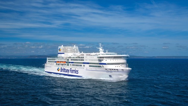
We then headed to Plymouth to take the ferry from Plymouth to Santander in Spain. As we waited to board, the truck was searched! The first time this has ever happened. The customs officials were pleasant and we quickly moved on. The seas were good to us also and were comparatively calm. In the notoriously rough Bay of Biscay, this is always good.
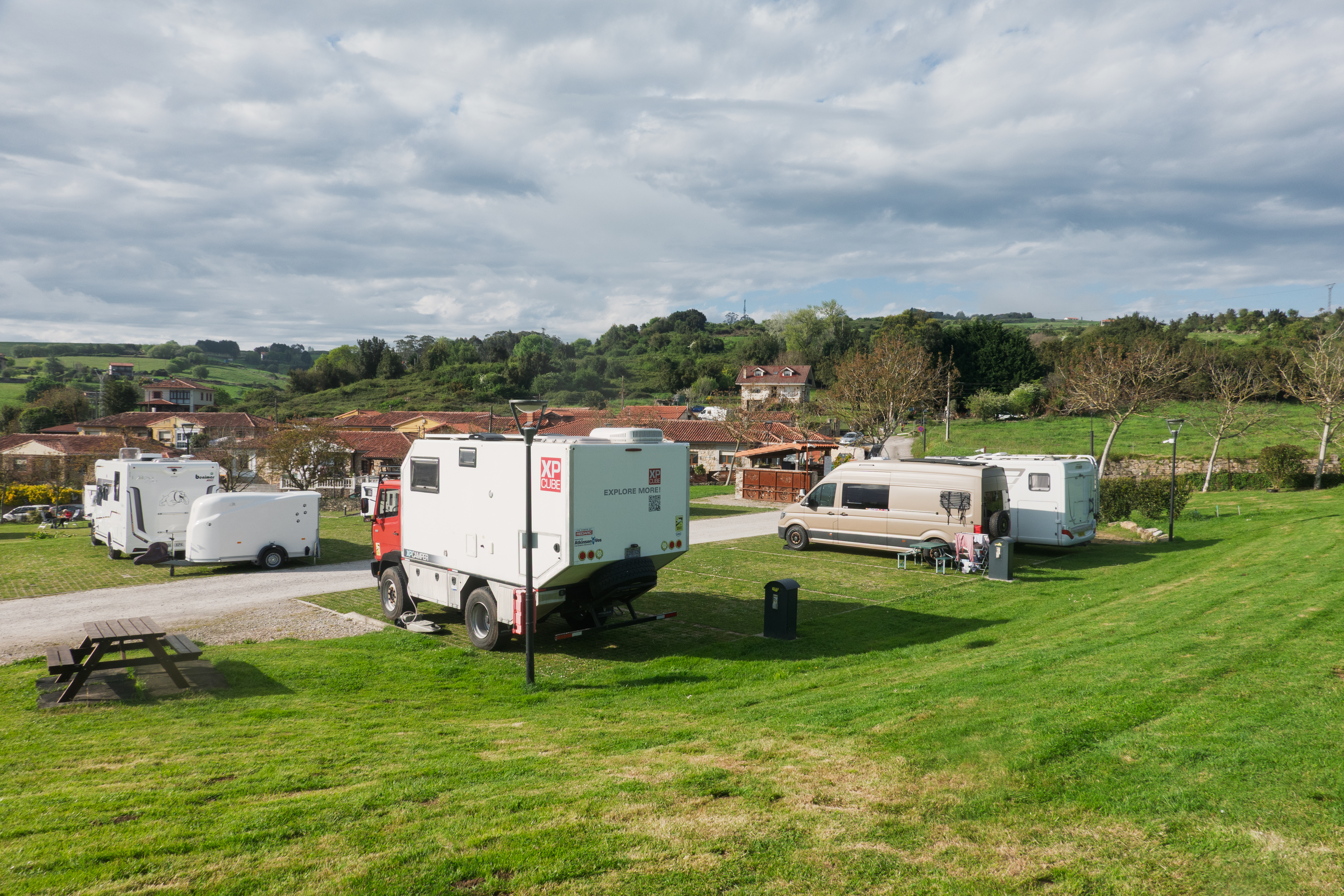
We had reserved at a campground by the beach outside Santander. The views were quite spectacular and the first day, we walked down to the beach to admire them. Fred was deprived of ice cream because we forgot to take money but oh well! The power steering belts needed to be tightened and it turned out that there was a bolt missing also. That taken care of, we headed west towards our first stop, the Cuevas de Altamira.
Cuevas de Altamira
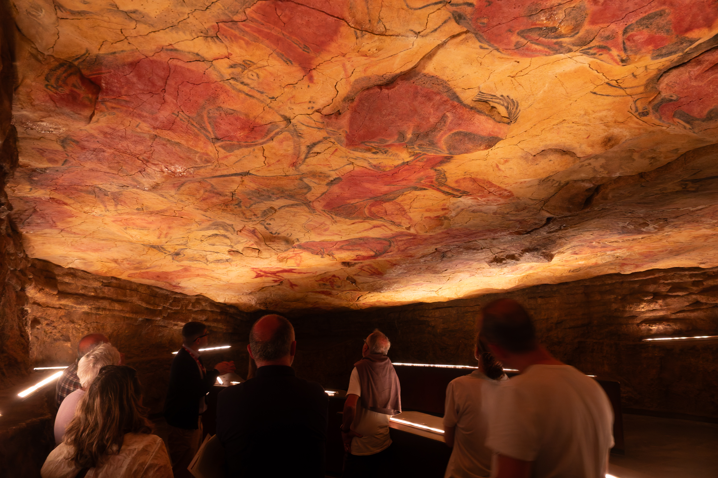
The Cuevas de Altamira proved to be wonderful. A nice big parking lot (so we could park) and a most interesting museum describing the various Neanderthal and hominid peoples who lived there from 18,500 to 14,000 years ago. They created amazing cave paintings on the ceilings of a huge cave in which they lived. After learning about them, and seeing some of their tools, we entered a reproduction of the cave. The original cave is no longer available to tourism to protect the delicate art, but the duplication is exact and the reconstructed paintings covered the ceiling.
We noted that the art became more realistic over the millennia. The cave was hidden by a rock fall about 13,000 years ago and thus remained untouched for thousands of years until rediscovery in the late 1800’s. The whole visit was a fascinating look at the very earliest beginnings of technology – the first pointy things, the first cutting things, and the first pounding things, usually needed to shape the others. These all made it possible to hunt, cut food and skins, and perform other basic tasks. And we still use needles and knives to this day.
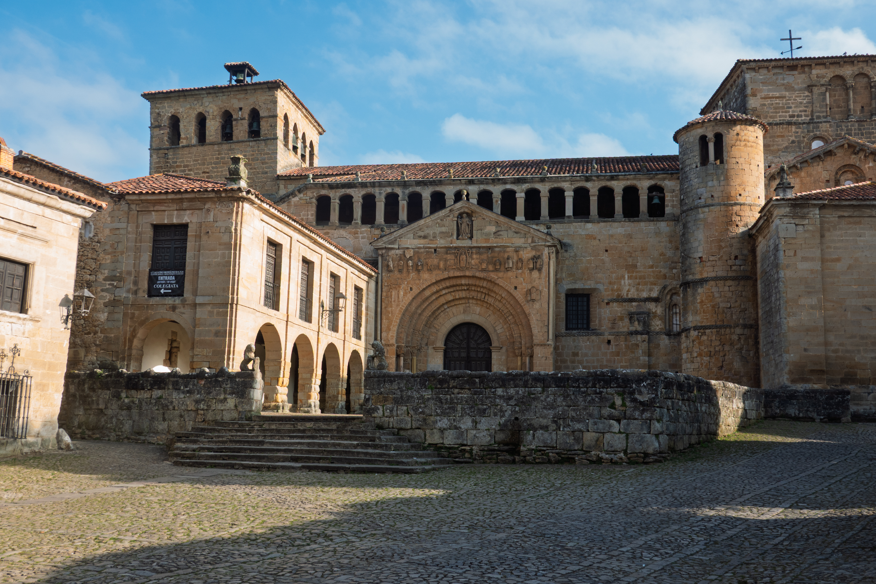
We then headed back down the winding mountain road (we had no idea this area was so mountainous) to Santillana del Mar and a delightful camping spot just on the upper side of the equally delightful small town, which, despite its name, is not beside the sea!
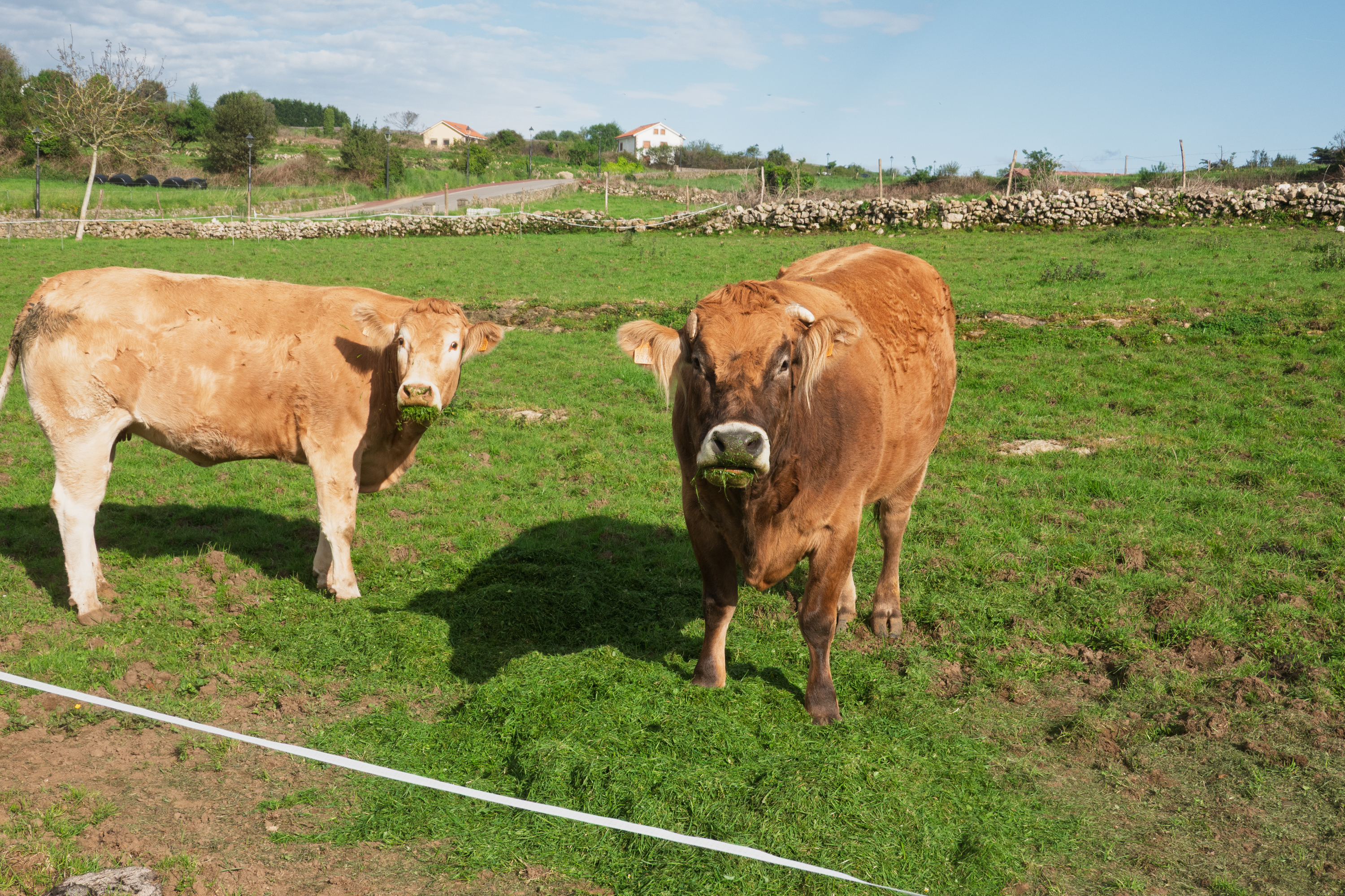
There are cows everywhere in this region. We enjoyed the two in the adjacent field, who, along with two donkeys, provided hours of entertainment. The grass was being mowed and so they had their dinners piled up for them.
The next morning we walked through the town, just as it was opening. The tourist boom comes in the evening, especially in the summer. In any case, the Spanish rarely lunch before 2:00 PM.
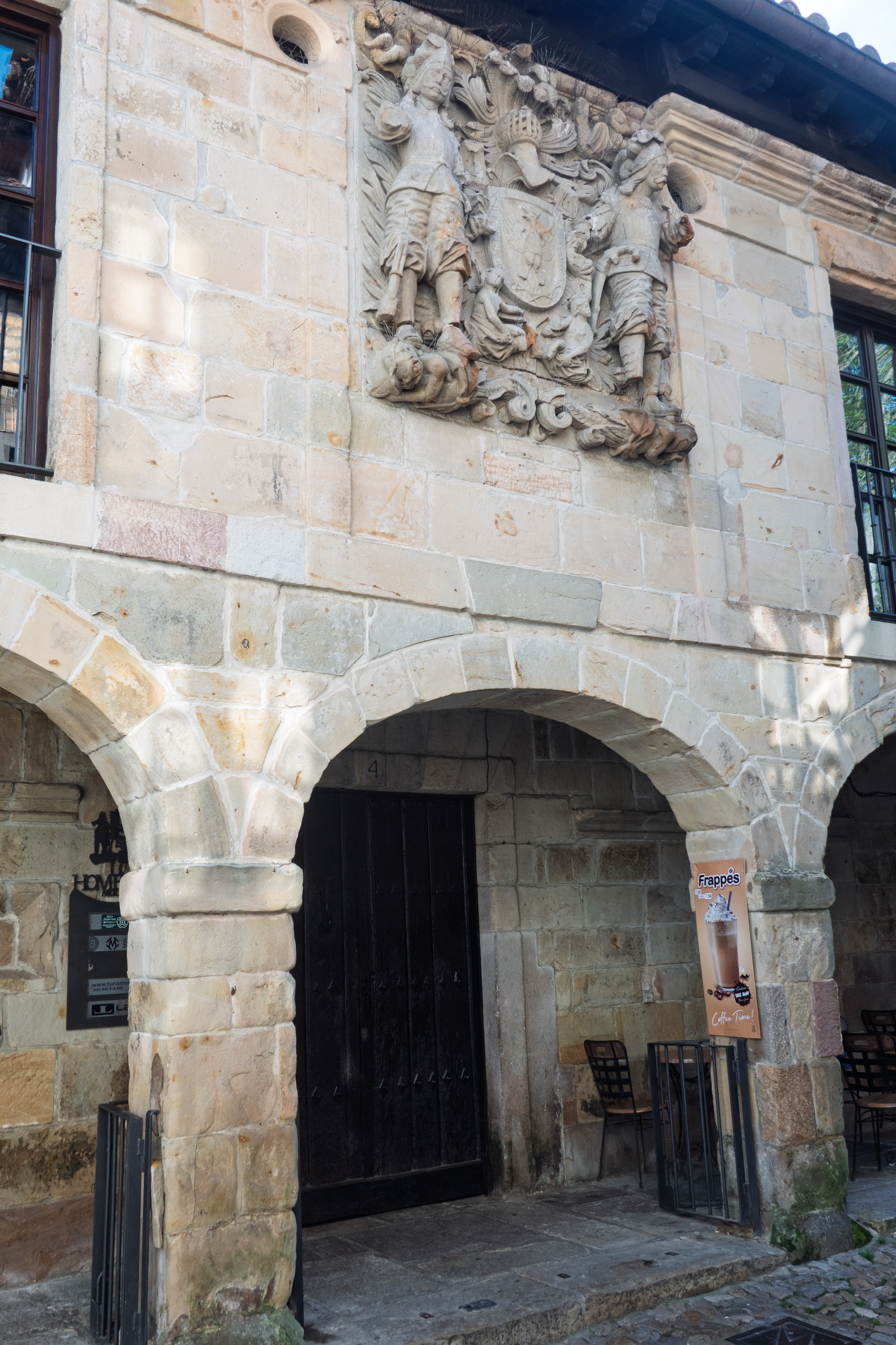
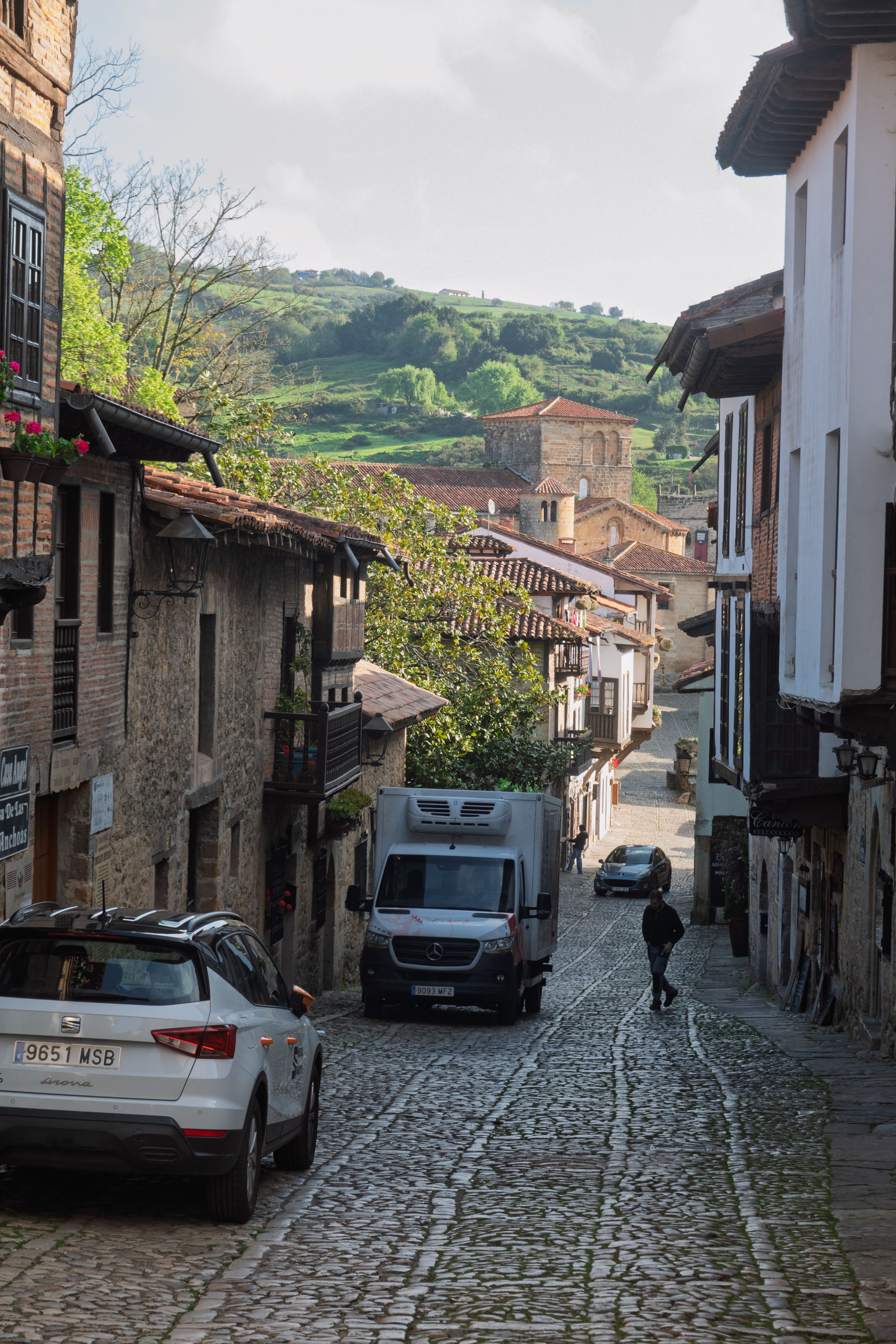
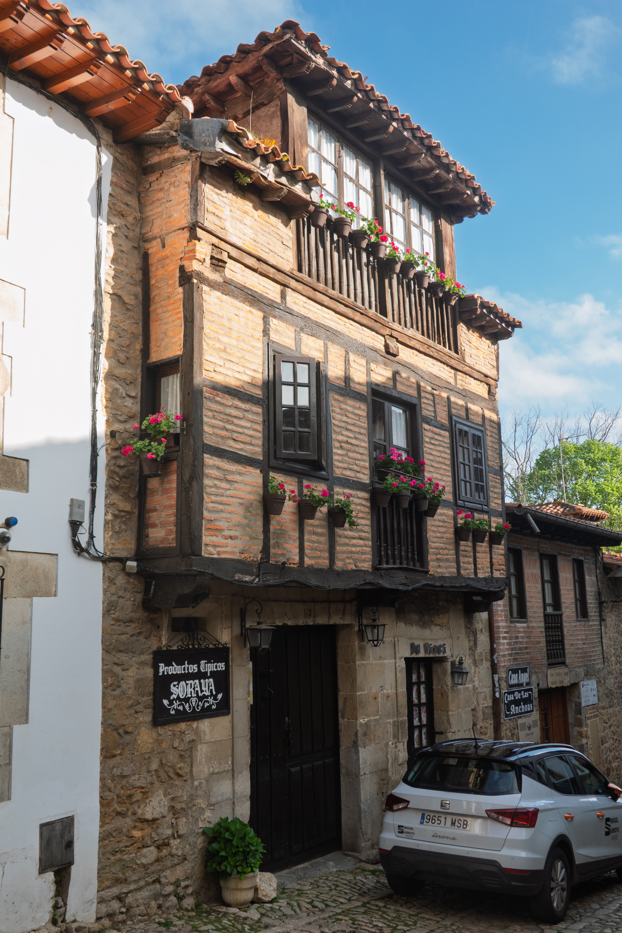
The narrow cobbled streets were charming and we left bearing loot – local firewater, cheese, chocolate, and sausage.
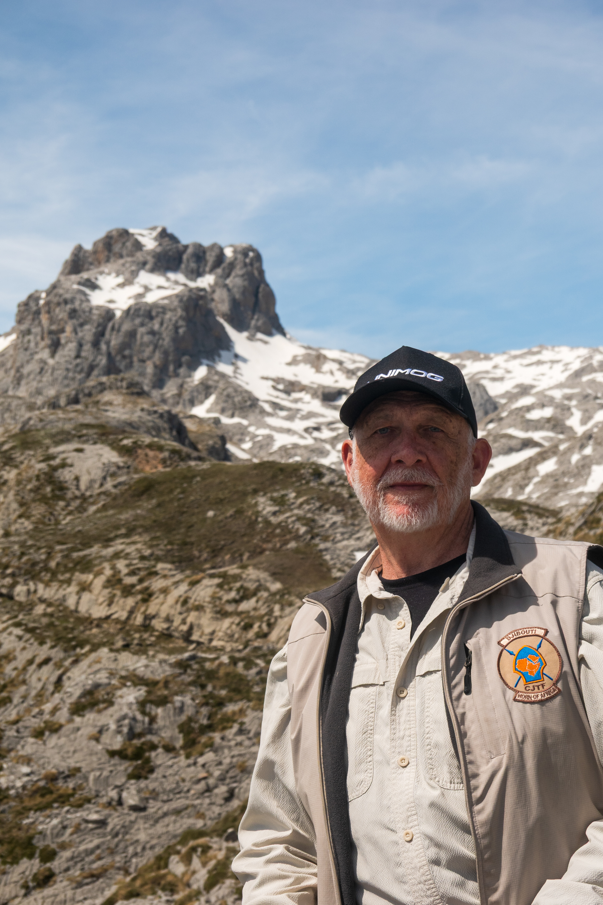
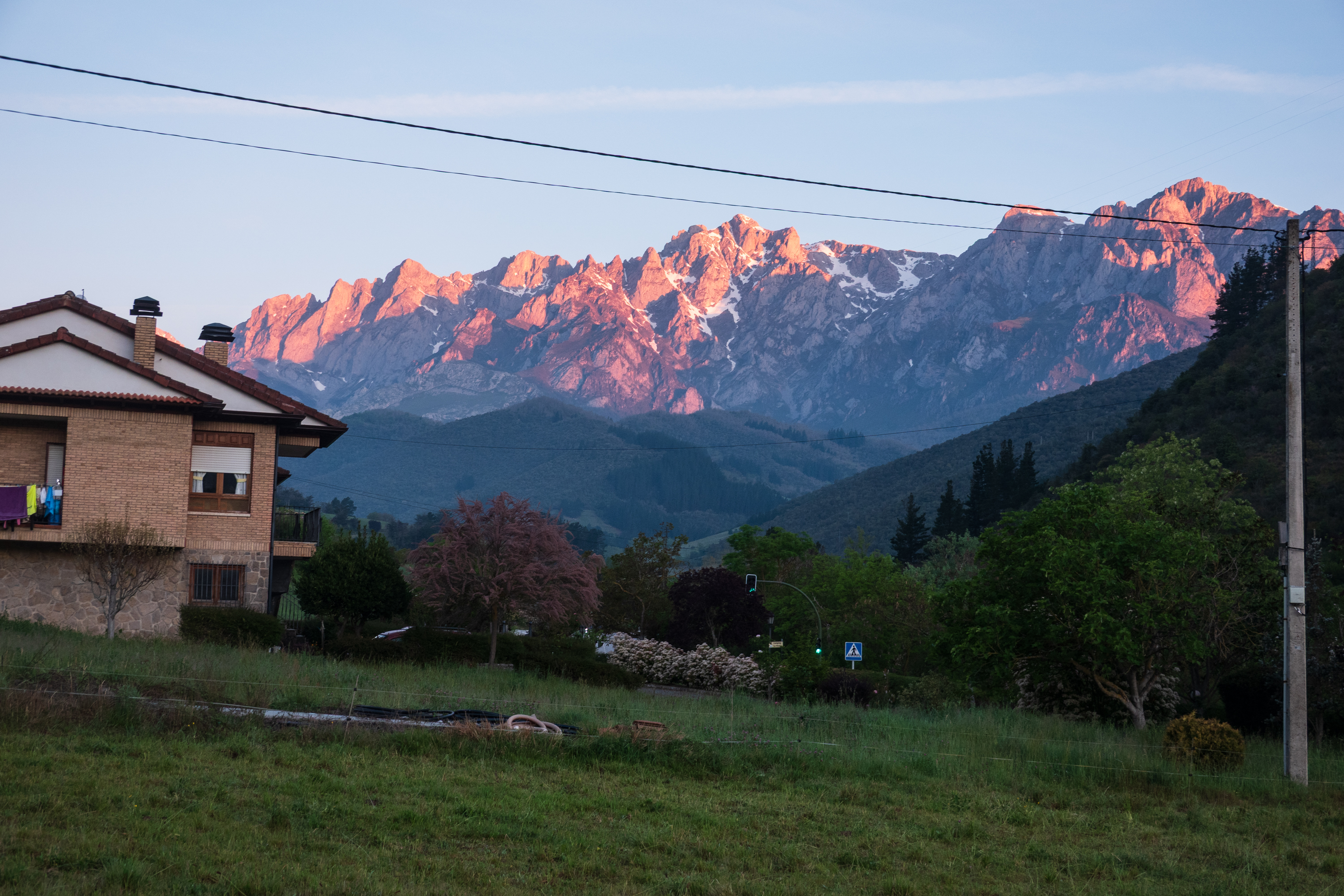
Parque Nacional de los Picos de Europa.
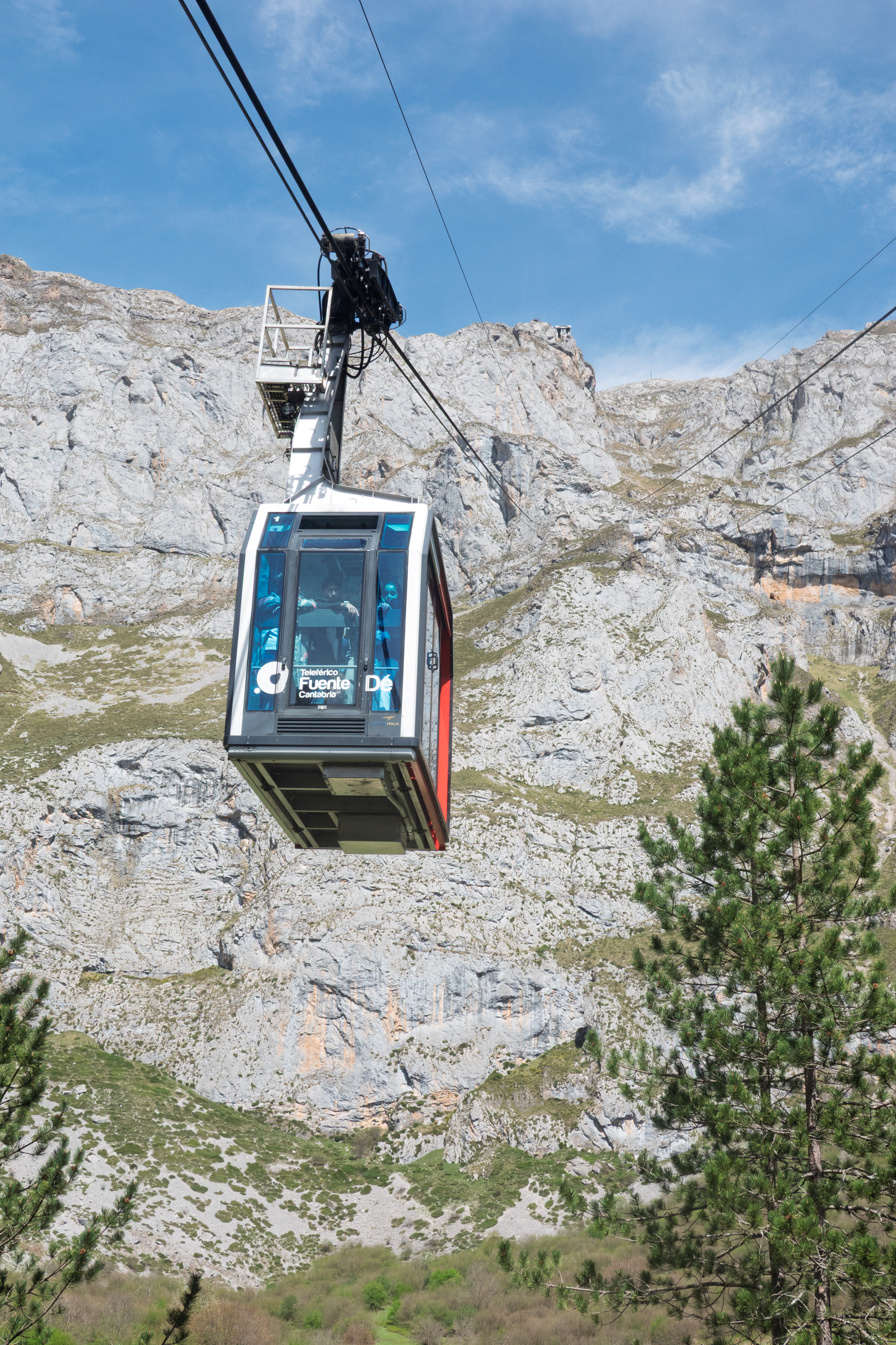
We then headed up the into the mountains again to the Fuente De cable car, which rises to the peaks. (https://en.wikipedia.org/wiki/Fuente_Dé_cable_car) We had a bit of a challenge finding parking as there was a barrier blocking the car park so that a high vehicle like ours could not enter. We ended up in a space that was used by buses but that worked well as no one seemed to mind.
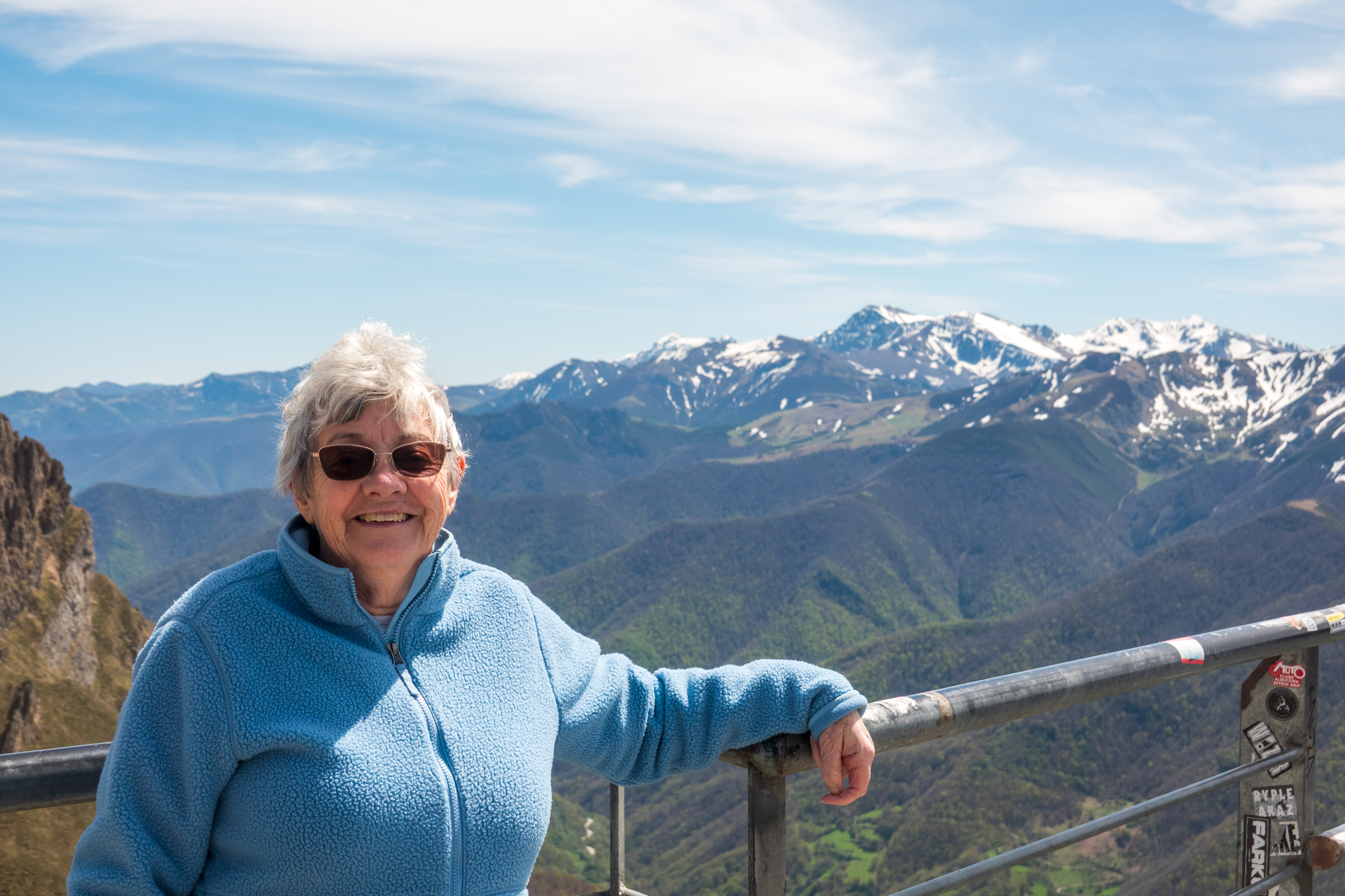
We took the cable car up to the top, had a good look around and then descended again. It was chilly on top!
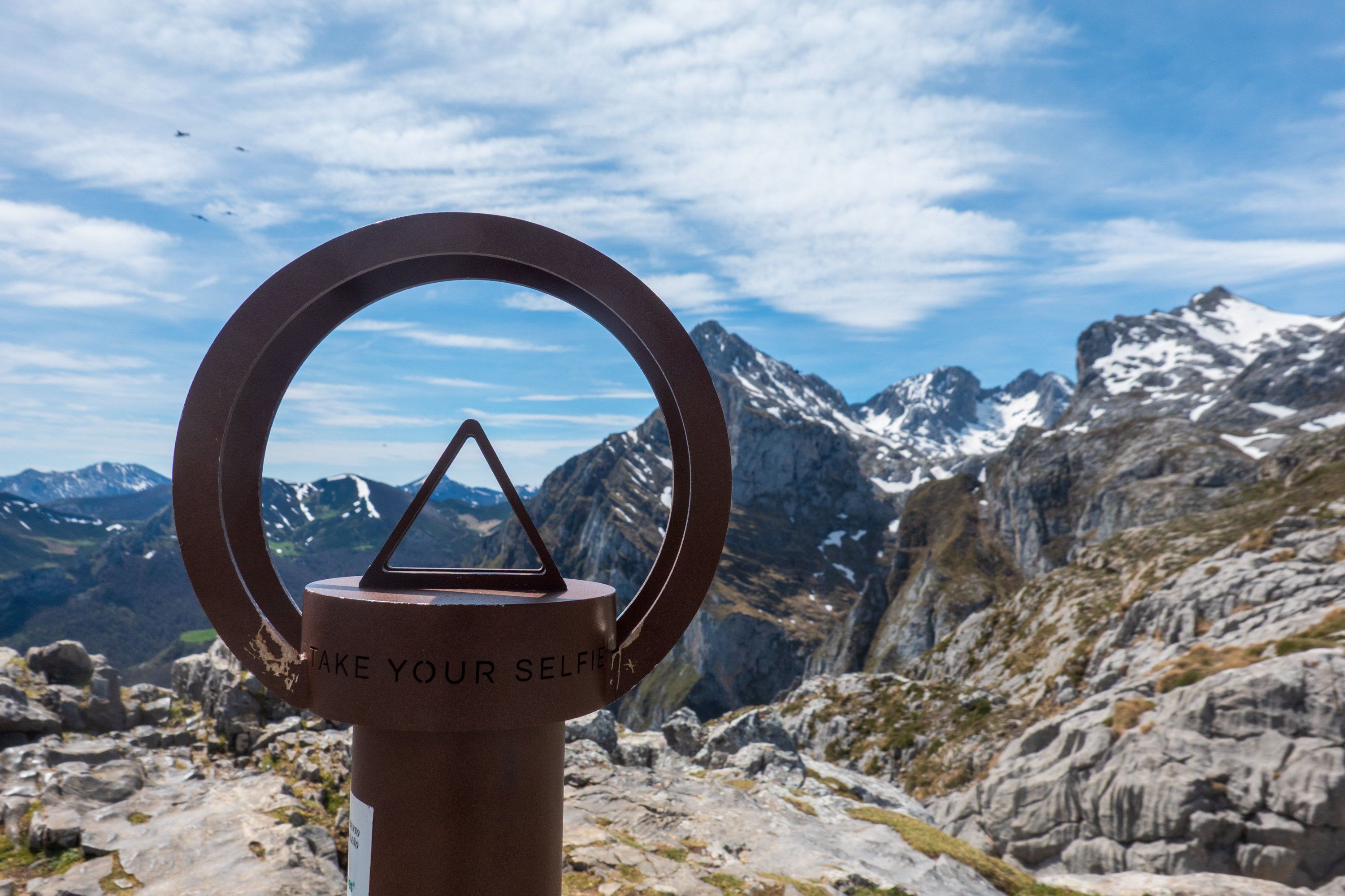
Exotic navigation tool? No. A cellphone holder for taking selfies.
This is a popular hiking and climbing area and many use the cable car to start or end trips through the mountains.
Our lodging for that night was an Aire in Potes that was quite delightful. We had cow neighbors again!
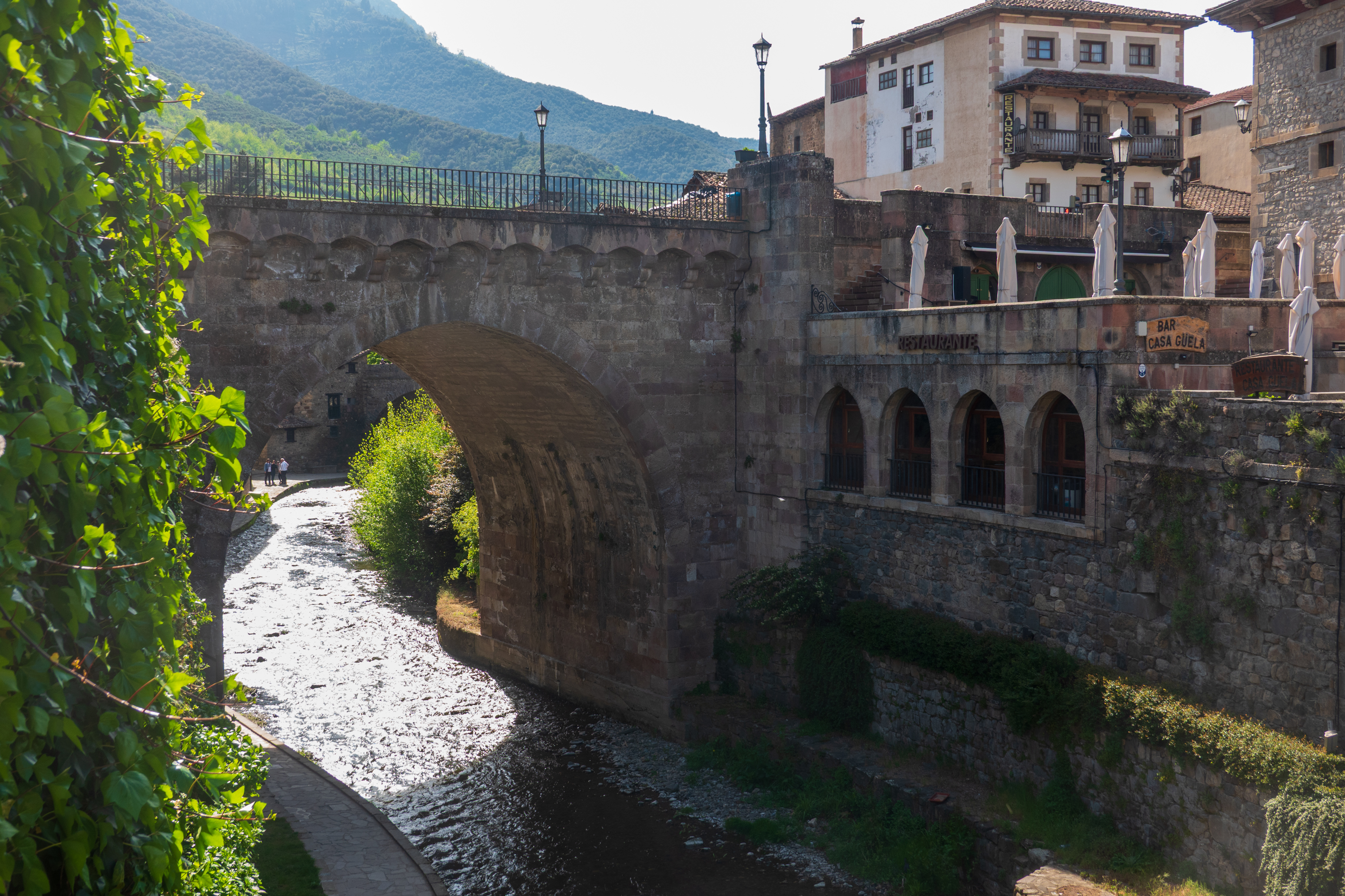
We also had an easy walk into the town of Potes, where we took a picture or two and enjoyed a cider and some tapas beside the river bridge before heading back for dinner.
That is the bridge that carries the main road.
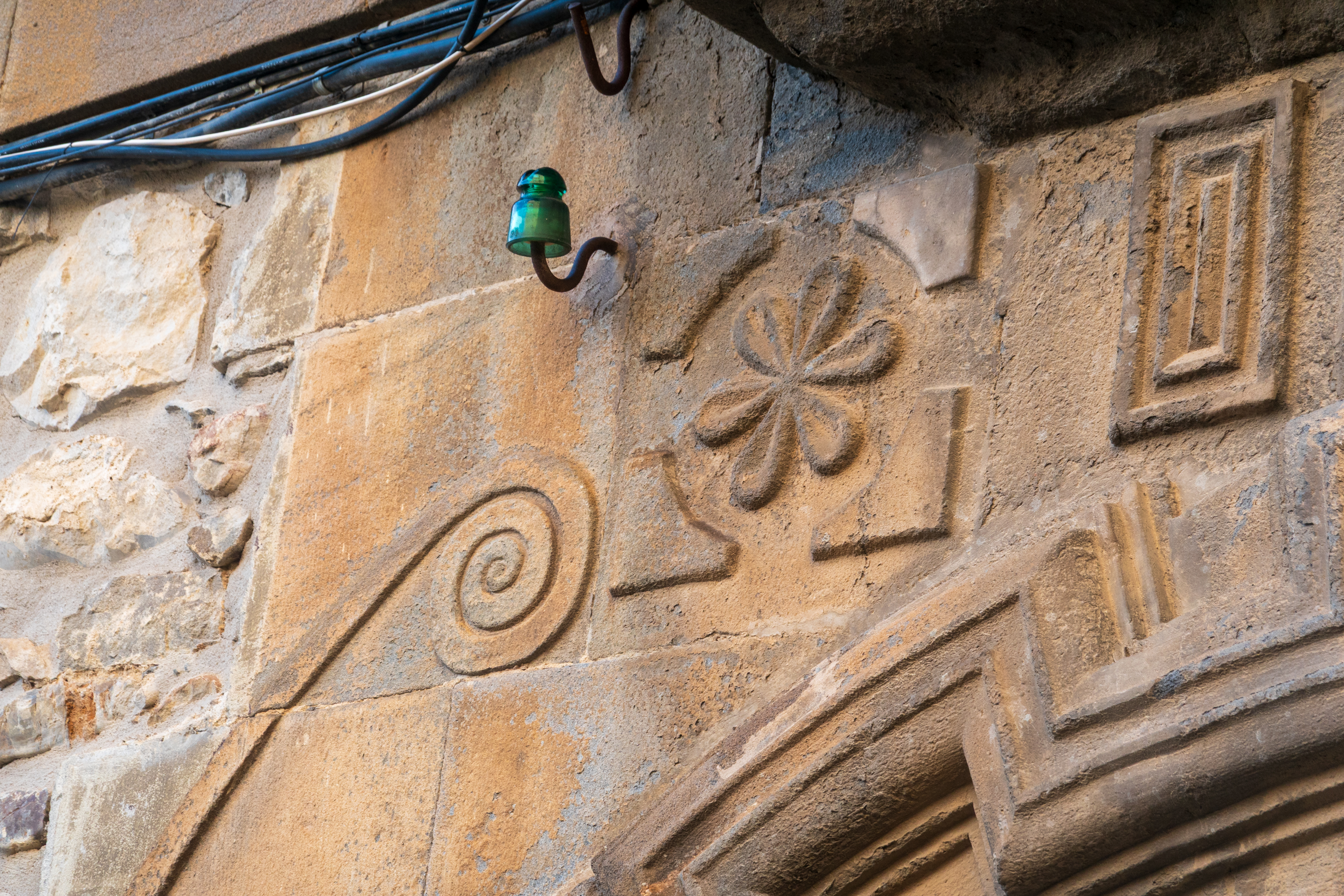
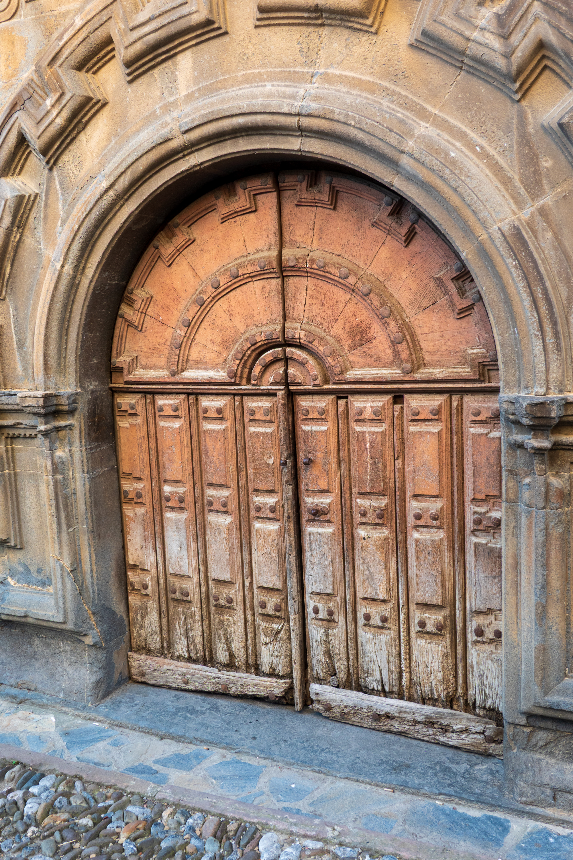
Love the combination of old and new wiring and beautiful stone carving.
A beautiful dawn in Potes.
Our next stop was a beach aire, Coto Camper, at Barreiros. It was only a short walk to a beautiful sandy beach, but the weather was unpleasant – very dense cloud with light rain. Everything felt very cold, or chilly at least! We considered staying two nights, as the facilities were lovely, but the next day dawned the same and the weather forecast seemed better on the western coast. So we headed to A Coruña.
N.B. We stay in a range of different sites, called “Aires” in French and “Sostas” or “Areas” in Spanish. We try to avoid formal campgrounds if we can, due to price and the fact that we don’t often need the services that they offer – showers/dishwashing/toilets/electricity. The aires and sostas range from parking lots at gas stations to lovely sites that are indistinguishable from a campsite. The big difference is that campsites tend to offer themselves as actual vacation destinations, with restaurants, swimming pools, playgrounds, etc., as opposed to simple transient stopovers for the night. That said, the lines are blurry. One interesting exception is certain municipal areas, where stays are strictly limited to one overnight, and it is prohibited to use leveling blocks, set out chairs, or open windows!
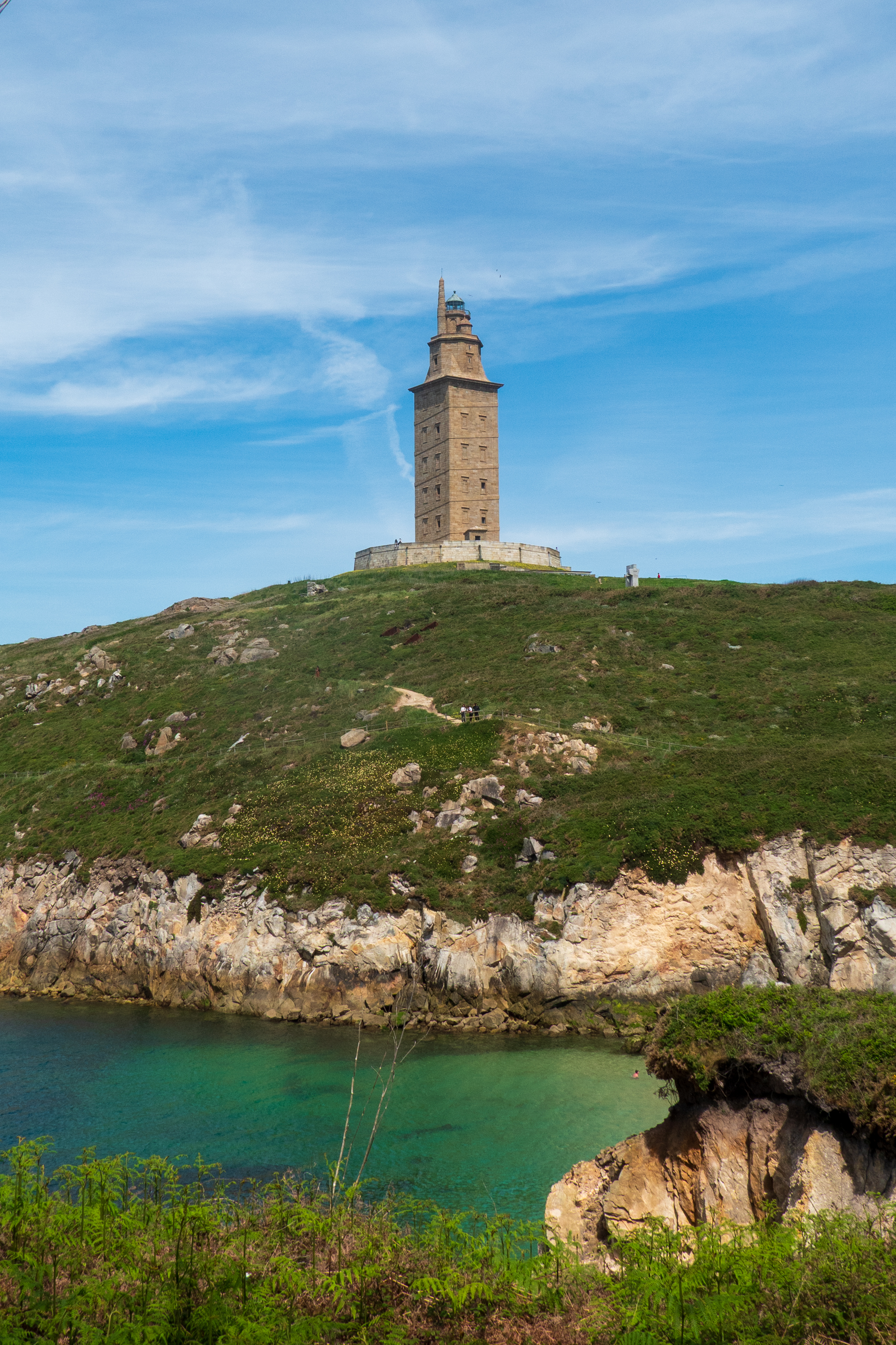
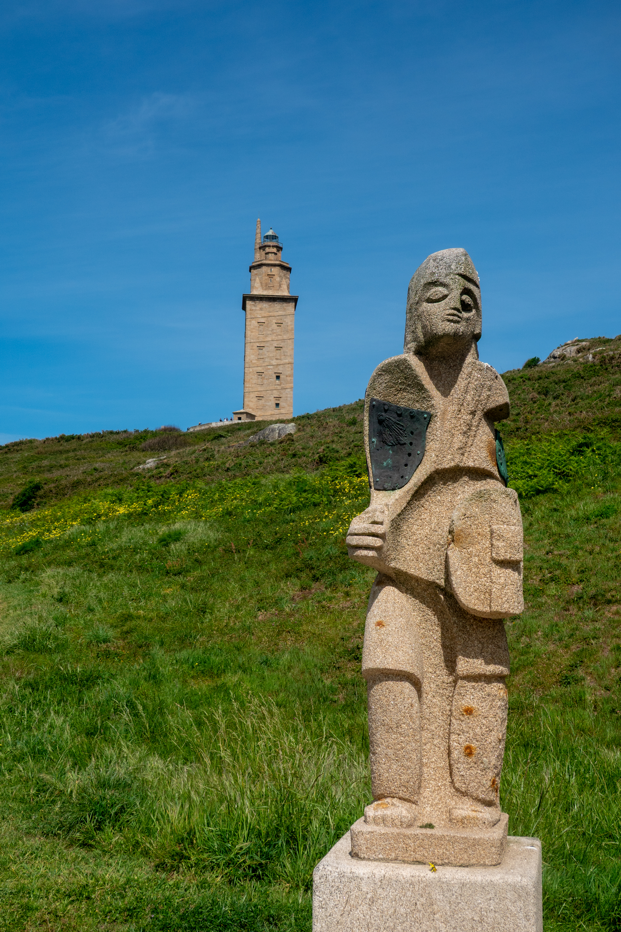
A Coruña and the Tower of Hercules
The first part of the trip, through the mountains, was through really dense fog and visibility was very low. Then the skies slowly began to clear and we found the sun again!
We wanted to visit the Tower of Hercules, a lighthouse built by the Romans at “finistere”, the end of the world. (https://en.wikipedia.org/wiki/Tower_of_Hercules) The lower 100 feet is still Roman – those cats knew how to build. Getting through the town was exciting, as the streets are narrow and the traffic heavy. Our route included a tunnel with a height of 3.9 meters. We are 3.6 meters, so we had some very scary moments until we realized that our measurements were indeed correct. Then the exit from the tunnel was a sharp right turn ramp, so steep that we had to use the crawler gear.
There is a parking lot near the Tower with a section for motorhomes but it was, of course, full. We ended up getting permission from a motorhome to double park behind it. Not the best of solutions but it worked for the time it took us to hike around the point and up to the Tower.
The Tower is unfortunately closed but we were able to get to the base.
Birds round the tower
There is a sculpture park surrounding the tower.
It was a nice sunny day by now but very windy. The views of the town and the rocky coves were however spectacular. It was so windy that we were almost glad to leave the headland and head through town (again – but this time no tunnel) and back to the autopista heading for Santiago de Compostela.
Arriving in UK, we went straight to Denise’s brother’s house for another wonderful visit. Our timing was great as there was a family reunion for his wife’s birthday.
Three generations! (And DOGS)
We then headed north to visit a friend from Bangui who is now retired in Norwich. We had never been to Norwich and it was interesting to visit a new part of the country. Charles was a mining engineer when we knew him in the Central African Republic. Now retired, he manages the village church, which, conveniently, is right next door.
The original tower is round but the extension. where the bells are located, is octagonal.
The NaveOne of the many carved angels in the ceiling.
It is a long, vertiginous climb to get above the bells.
Wiew from the top of the tower.
We went into Norwich proper for a day of sightseeing and shopping. Partly due to the original construction of a Motte and Bailey fortress and a dry moat, parts of the city are on very different levels. (https://en.wikipedia.org/wiki/Norwich)
GuildhallIs there an upper goat?Leaning into your neighbor.
And, of course, we visited the cathedral. (https://en.wikipedia.org/wiki/Norwich_Cathedral) There are many things special about Norwich cathedral, but perhaps nothing is more unique than the baptismal font, made from copper vessels from the Rowntree chocolate factory.
No, not an orphan, but rather a private road, not “adopted” by the city.Steep streetOld prison door.
Tour group forming up in the nave.
Following the maze outline in the cloister.
The chocolate font
Choir organ
Misericord choir stalls.
Grafitti. It is said that there are actually staves of music carved into the walls somewhere.
Prior to the Reformation, the interior, like that of most cathedrals, was painted and decorated. Now only scattered fragments remain.Lest you forget …
Cloister
Chapel with old battle flags, a reminder that this is the Church of England.
Norwich castle was closed for repairs, but we gave it a wave before leaving town. Like many English castles, it is a relic of the Norman Conquest. (https://en.wikipedia.org/wiki/Norwich_Castle)
From Norwich, we turned north for a family visit and a spa day at Atkinson Vos.
We like stopping off at campsites we have previously visited. Here at Lurcher Farm Cottage we watched all of the dogs going through agility and other training. Woof!
Back at Atkinson Vos we replaced the rubber bushings that mount the cab and installed the new drag link. The drag link was pure unobtanium – out of stock in UK, France, Germany, Belguim, Spain, etc. Thanks to our friends on the German LN2 forum, we got a lead on a factory in Slovenia that makes custom parts. (https://www.ln2-forum.de) The language was a challenge, but we got a fractured German message, “You send money, we send part!” Fingers crossed, we did, and the shiny new part was promptly delivered. And, unlike the Mercedes Benz original, both tie rods ends can be replaced! Beautiful!
And the blue paint just makes it even spiffier!
And the air leaks? We thought that we might have to do some massive replumbing. Turns out that none of the Mercedes Benz air lines were leaking. The only leaks were on the new lines put in to run the fire pump and other things. When the pump was removed, these were simply tied off. So we removed them all and hopefully, the problem is solved!
Things we don’t need.
All of this accomplished, we returned the truck to Bristol for storage and went out for a wonderful dinner with Motorhome Matt and his lovely wife. (https://www.motorhomematt.co.uk) He is our hero as he always finds space for us to store the truck.
The next morning our taxi showed up for the run to Heathrow – the same Albanian driver who picked us up in the Spring. He greeted us like old friends. We really have been doing this too long!