Monthly Archives: April 2026

Gas, Gold, and Glory

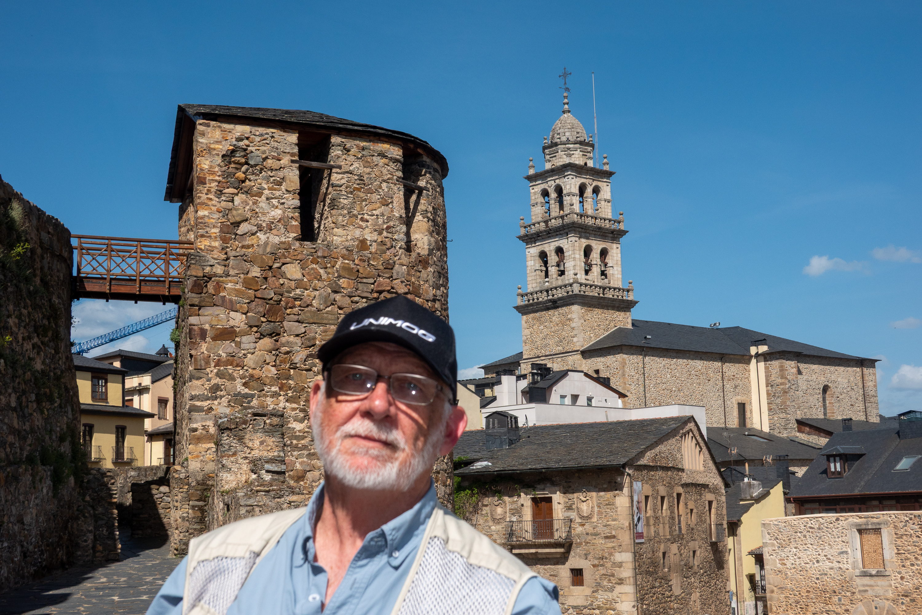
It was time to head east, so our next stop was just over the border in Castilla y Leon, in Ponferrada, named after the iron reinforced bridge (Pons Ferrata) that still crosses the river. Probably built by the Romans, in medieval times it was an important river crossing along the Camino.

It’s a Gas, Gas, GAS!

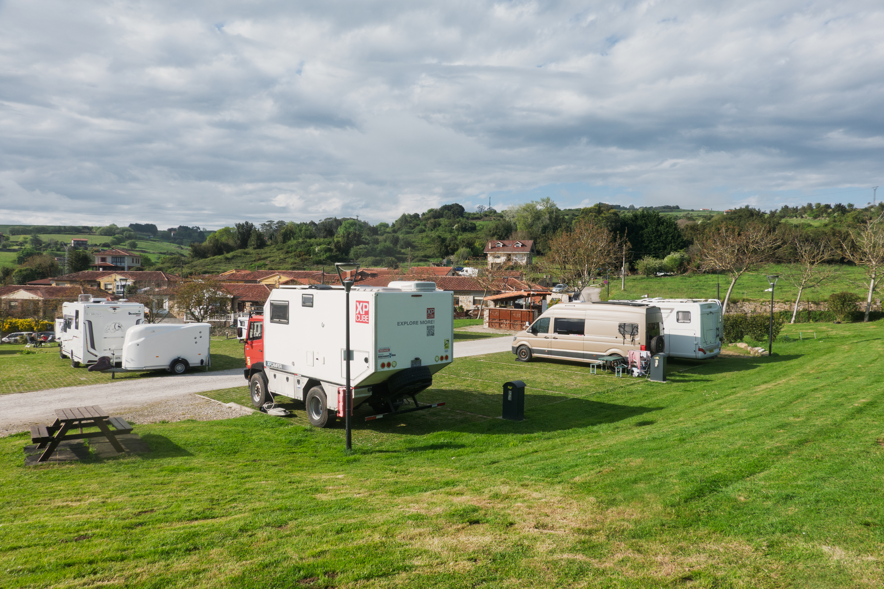
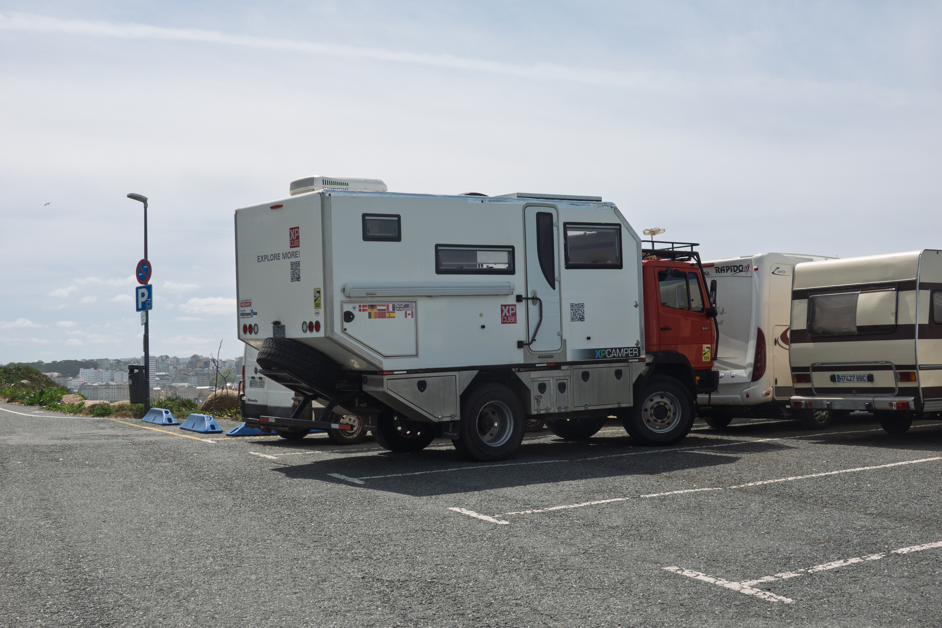
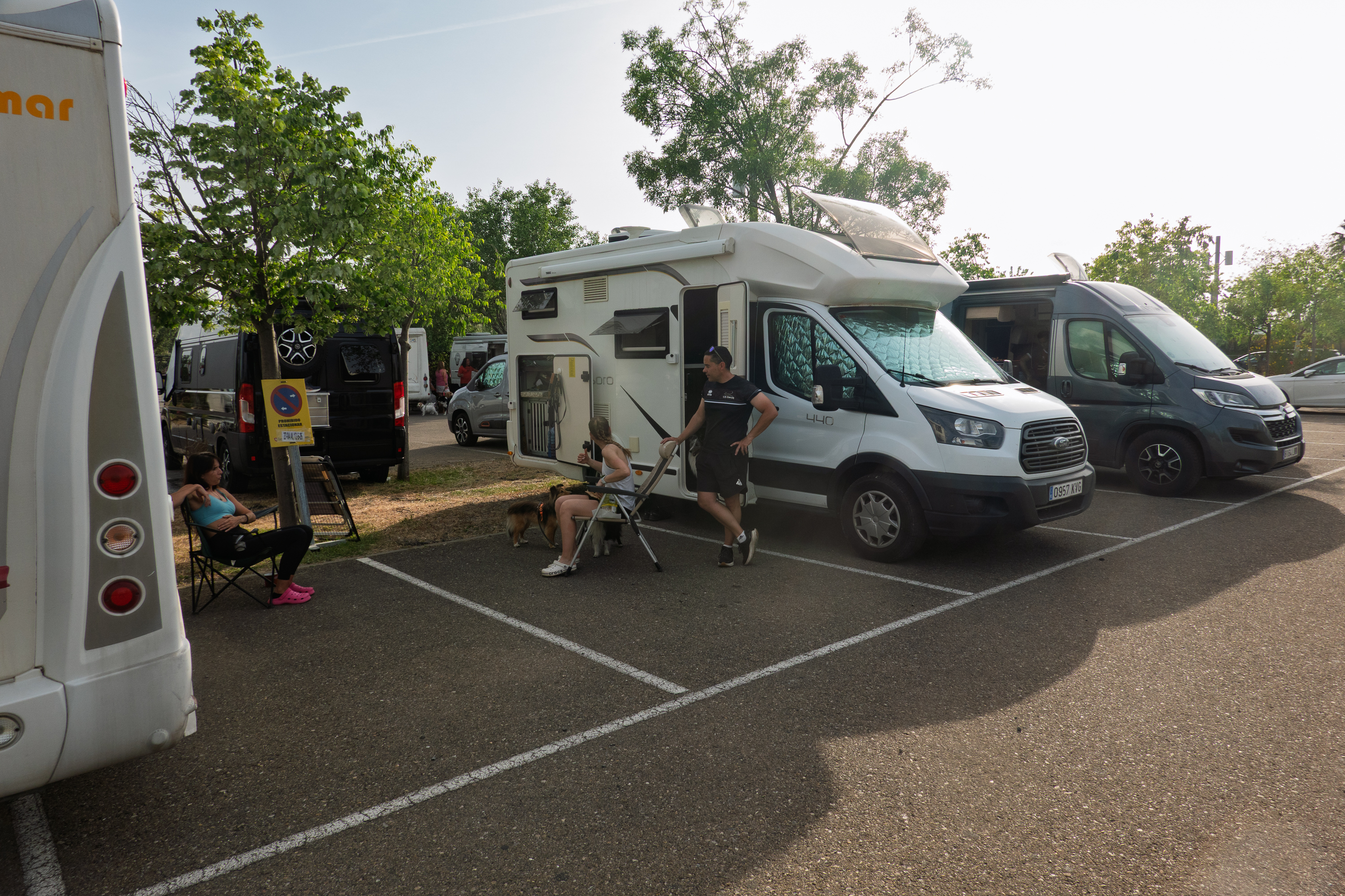
This is the first of our gas station visits, or, more correctly, an aire or sosta set in the parking lot of a large filling station. This one had a large number of spaces, an incredible view of the hills, and was surprisingly pleasant.

May be a gas station, but it is nicer than many campgrounds!

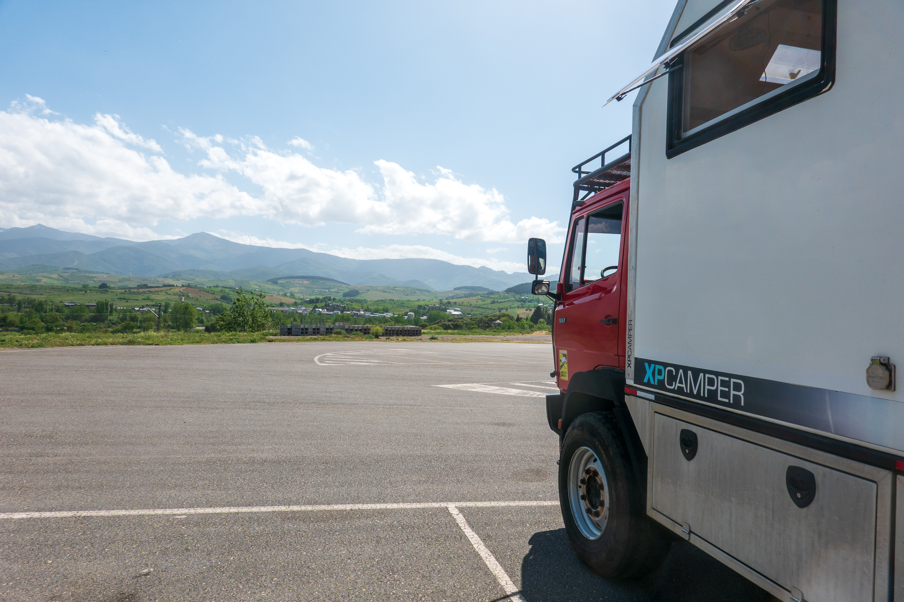
All in all, a brilliant execution as it used parking spaces that would probably be empty at night. And the campers used the small grocery store, restaurant, and, wonder of wonders, a truck wash!

One of the managers also helped us find a garage to, yet again, tighten the fan/power steering belts which had started squealing. By helped, we mean that he put us in his car, drove us to the garage, introduced us to the owner, and told him that he had to attend to us immediately. Which he did. You don’t get this at your local KOA.

There’s GOLD in Them Thar Hills!

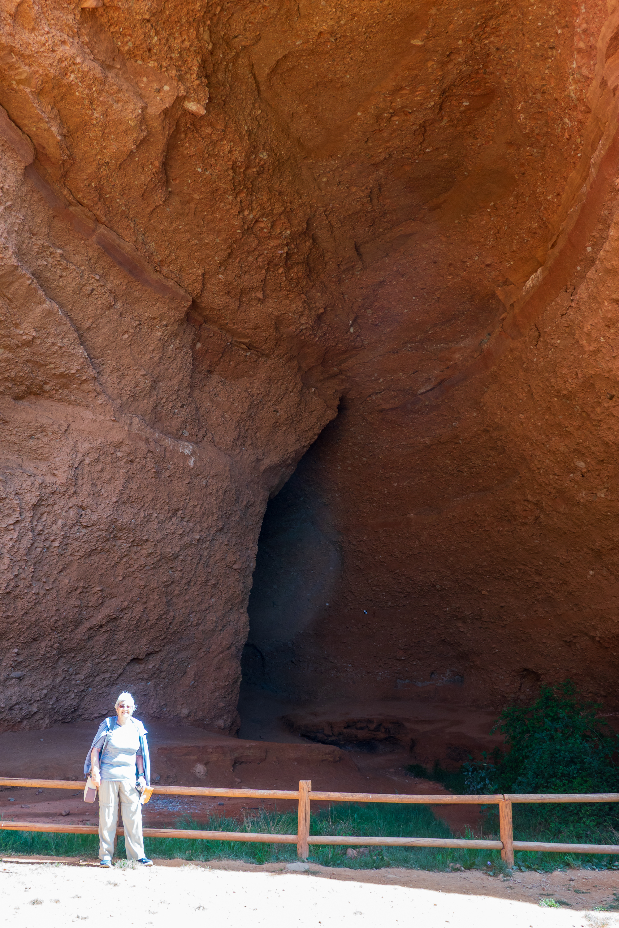
The next morning we headed into the hills to visit Las Medulas, gold mines from before the Roman era. (https://en.wikipedia.org/wiki/Las_Médulas) We are Roman history nuts and love to marvel at Roman engineering – cities, bridges, aqueducts, etc. Las Medulas  takes this to a whole new level of mega project. Using a technique called “Ruina montium” (Latin for “wrecking of mountains”), the Romans washed away whole mountains, leaving behind an artificial Bryce/Zion/Capitol Reef which stretches for miles. Suddenly the building of the Colosseum doesn’t seem so hard. 

Why did they do all of this, for hundreds of years? Upon discovering that the local people, the Asturs (from whom we get the name, Asturias) mined alluvial/placer gold, the Romans moved in to industrialize the process. Eight aqueducts brought water from hundreds of miles away. That’s right, hundreds of miles. Then that water was sent into tunnels dug deep into the mountains by thousands of workers. The water then split the mountains apart and washed the ore laden soil out where the gold was retrieved. Fleeces were used to collect gold flecks, as in the legend of the golden fleece of Colchis.

We didn’t have a drone or airplane, so we took this image from the Web. Click to expand and marvel at the scale! Stretches for miles!
Over the centuries, much of the slag has greened up again. As in the American west, the hoodoos were bits of earth that did not wash away.
Note the two gallery/tunnel entrances up the cliff.
Denise at the mouth of La Cuevona, the tallest of all the galleries. Sadly, we could not go in. Indeed, many of the trails were closed. Took a lot of digging to excavate this.

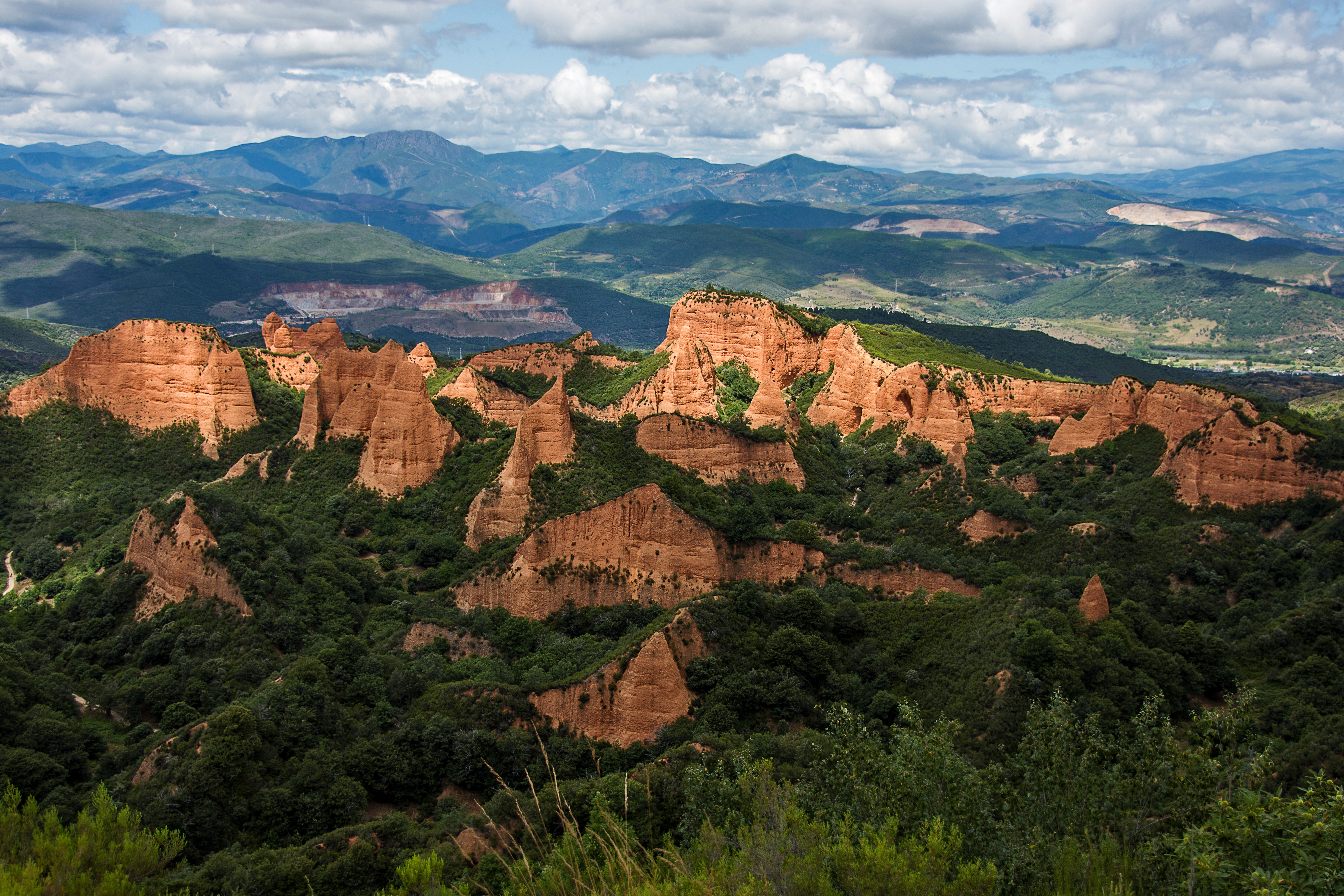
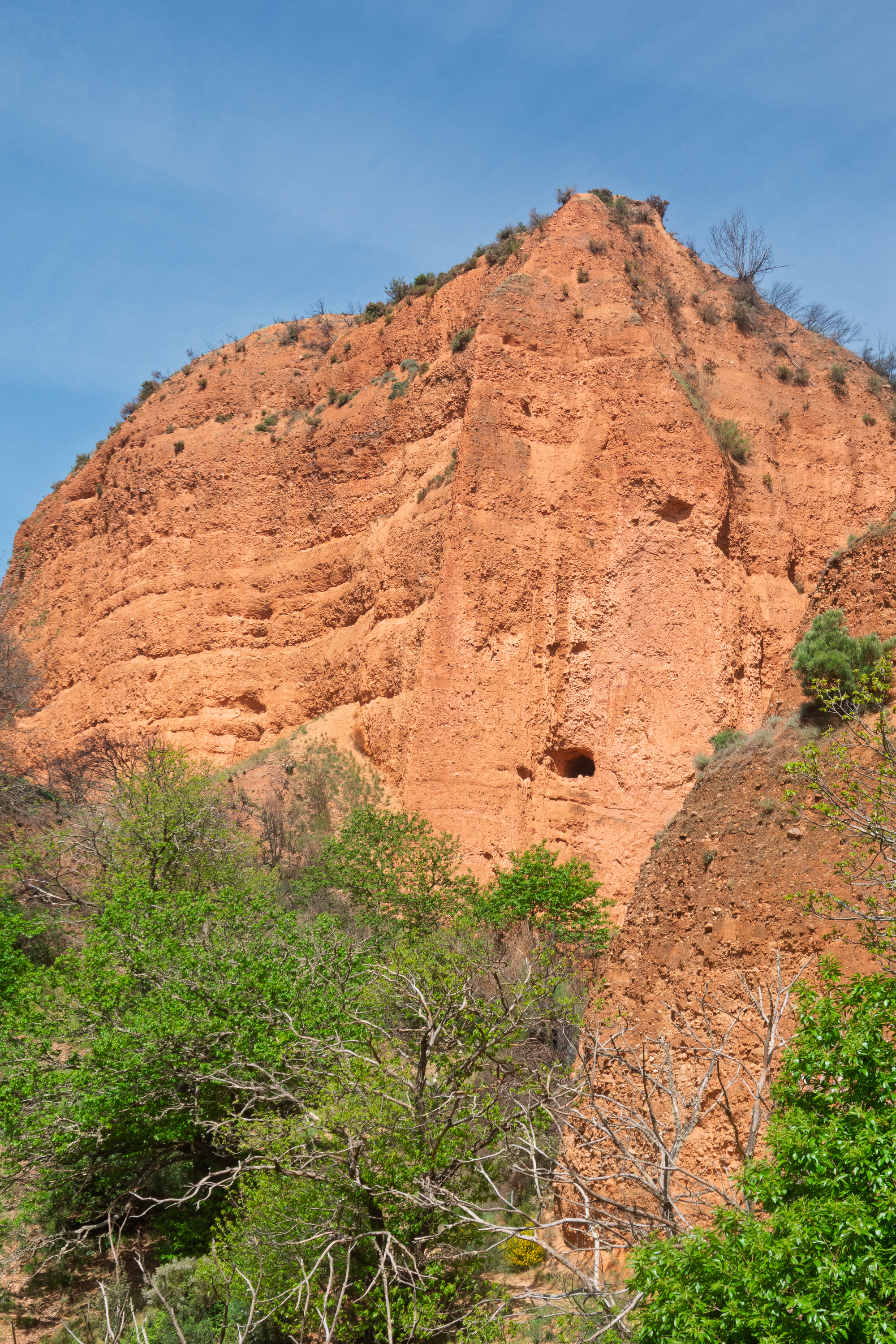
And then, when the mountains had literally been washed away, they began classic gallery mining along exposed ore seams. Pliny reports that the losses of workers were so high that it was safer to dive for Tyrian purple “fish.” (The snails used to make Tyrian purple, the imperial dye. https://en.wikipedia.org/wiki/Tyrian_purple

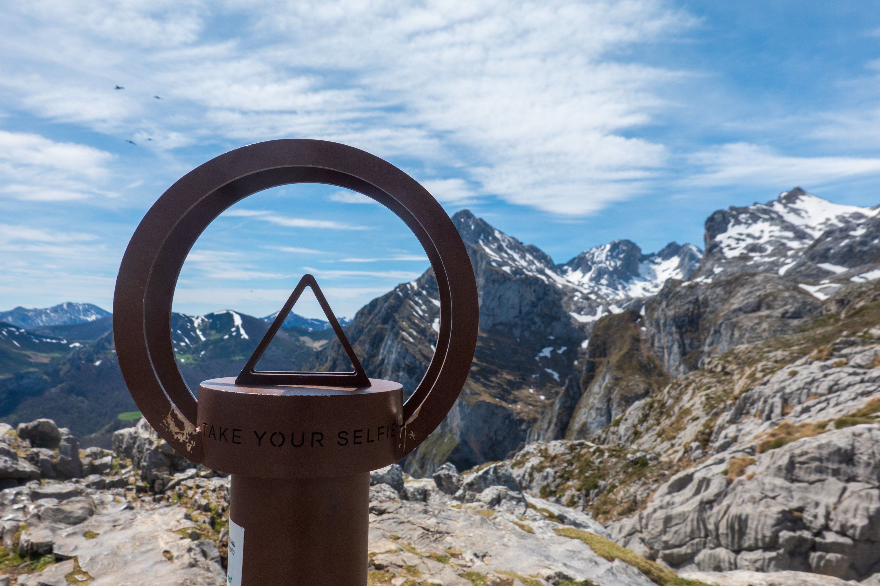
The scale of the area is incredible; even more so when you realize that you are walking through a completely artificial, man made landscape. Amazing that this site is not better known. See: https://en.wikipedia.org/wiki/Las_Médulas A full visit would take days and require hours of hiking over miles of trails. A feat best left for our younger and fitter friends!

We returned to the camper for lunch and then back to Ponferrada.

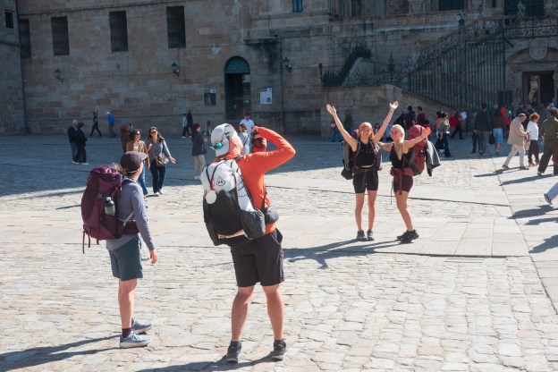
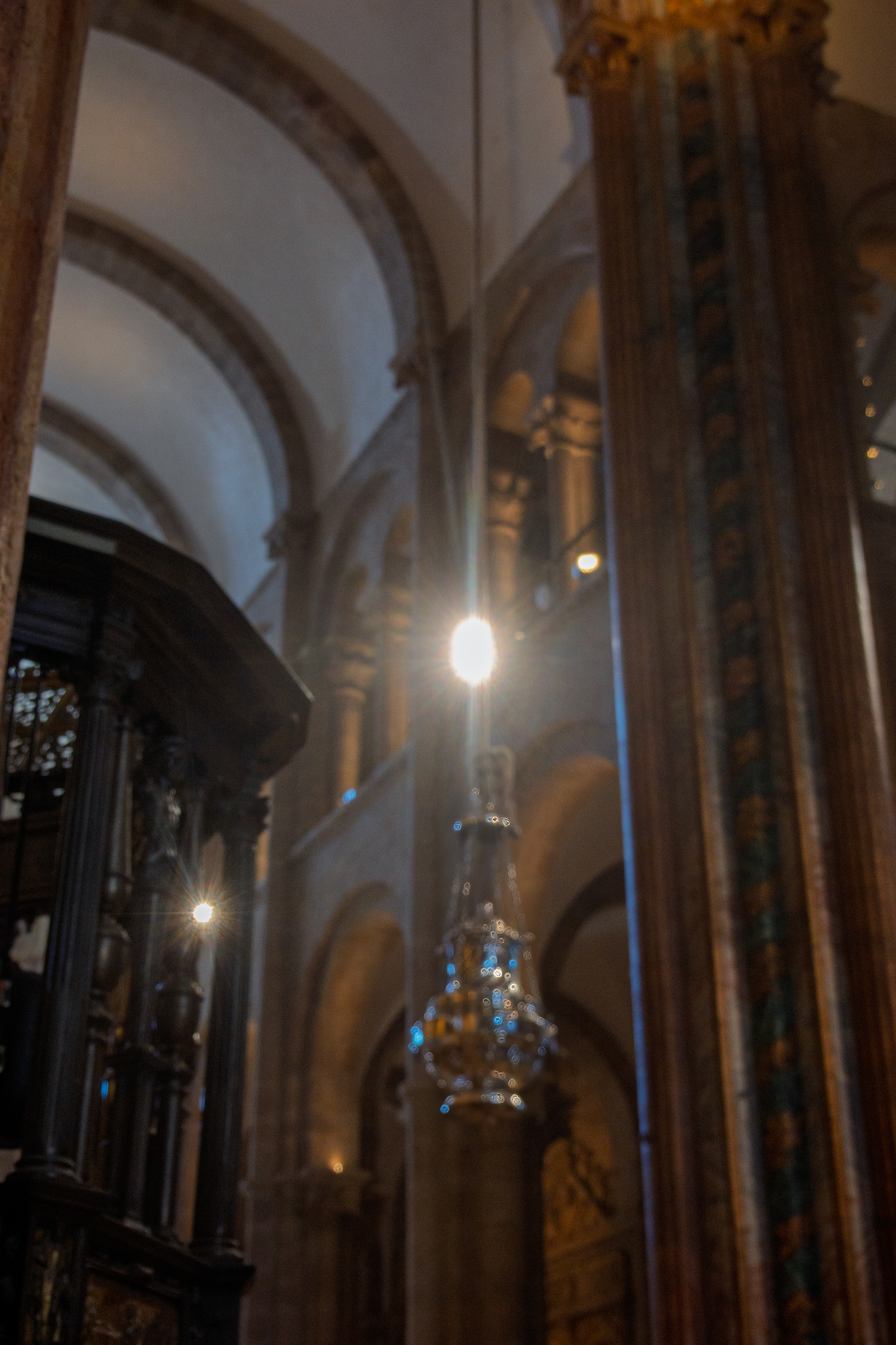
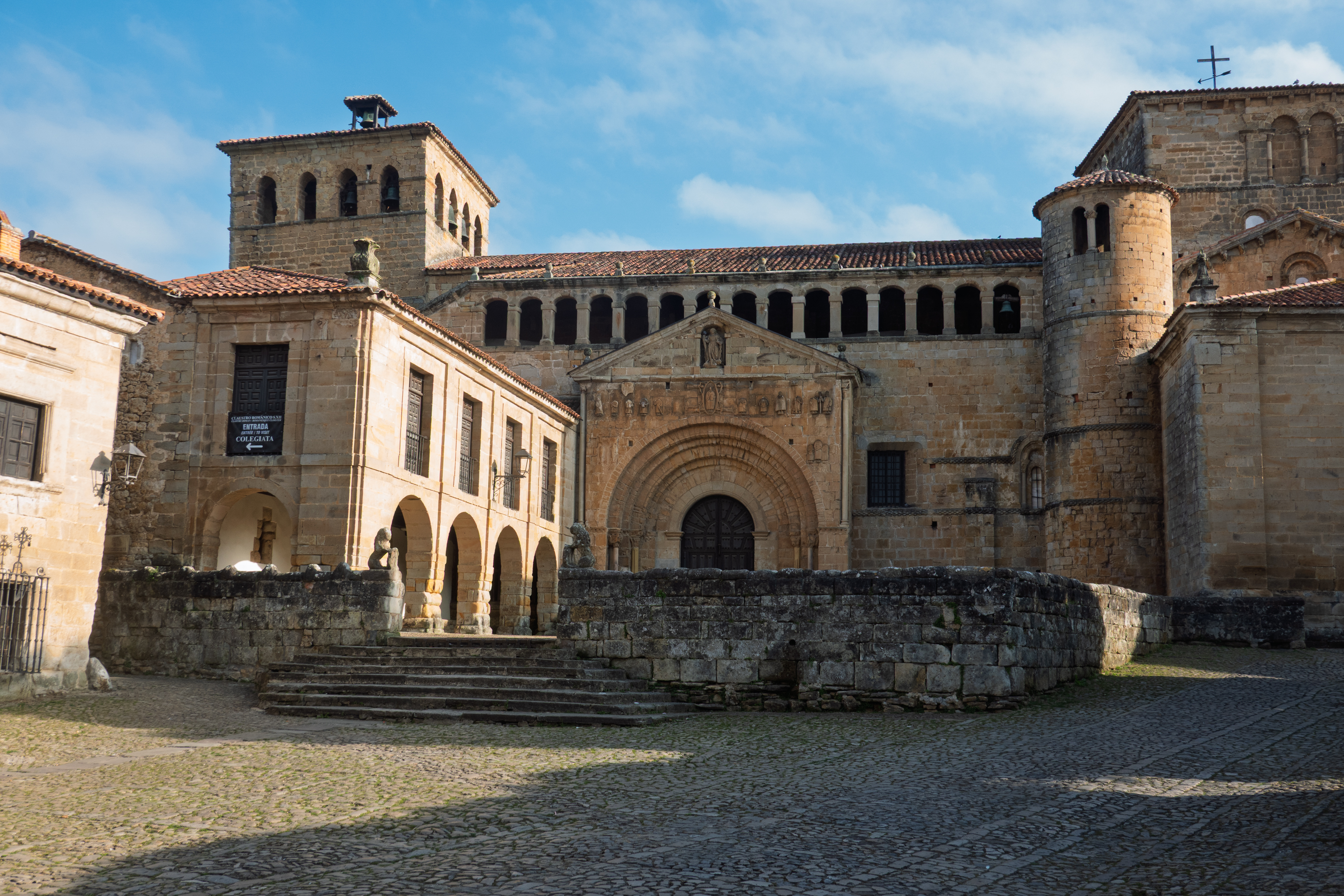
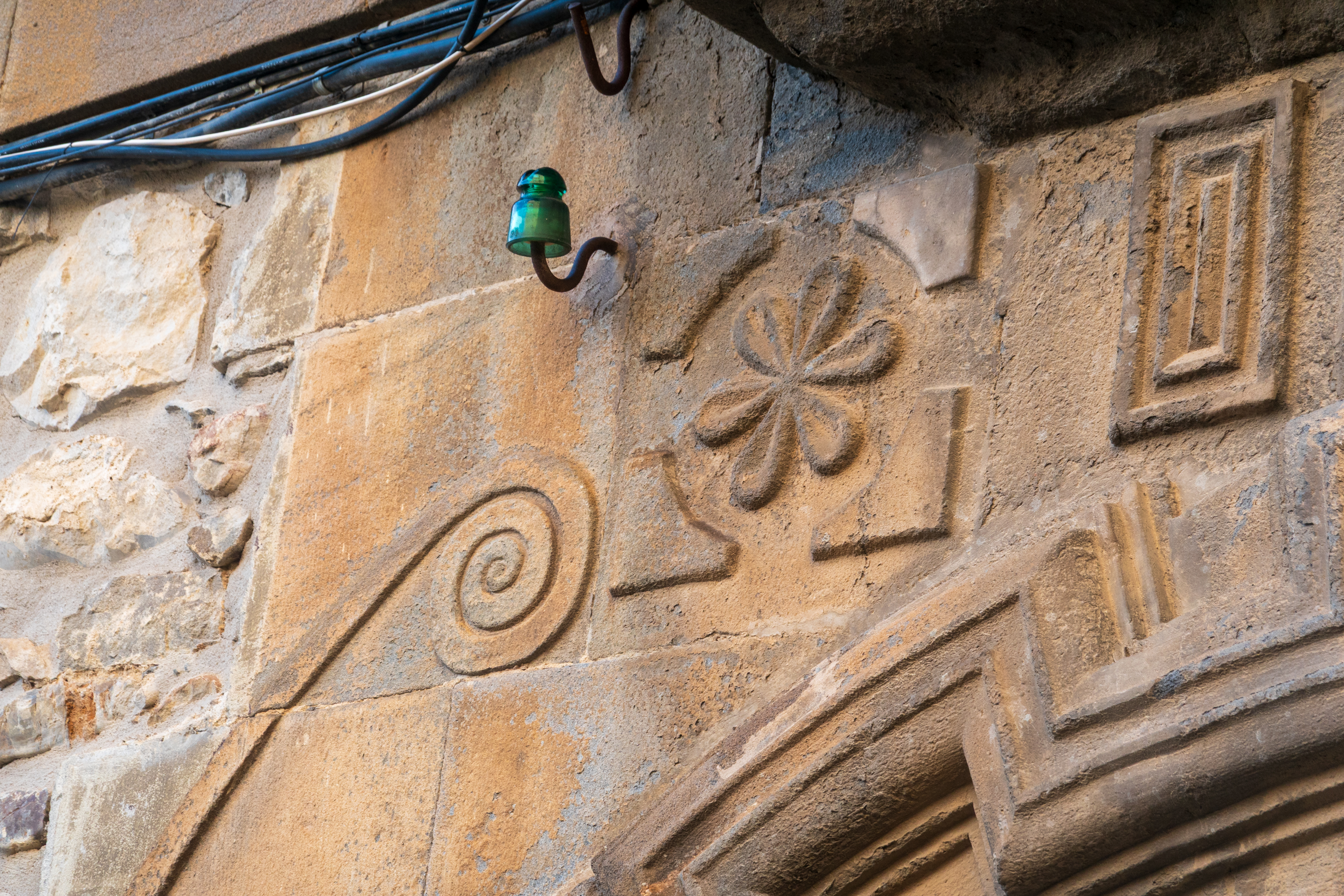
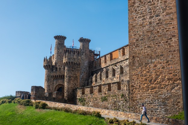
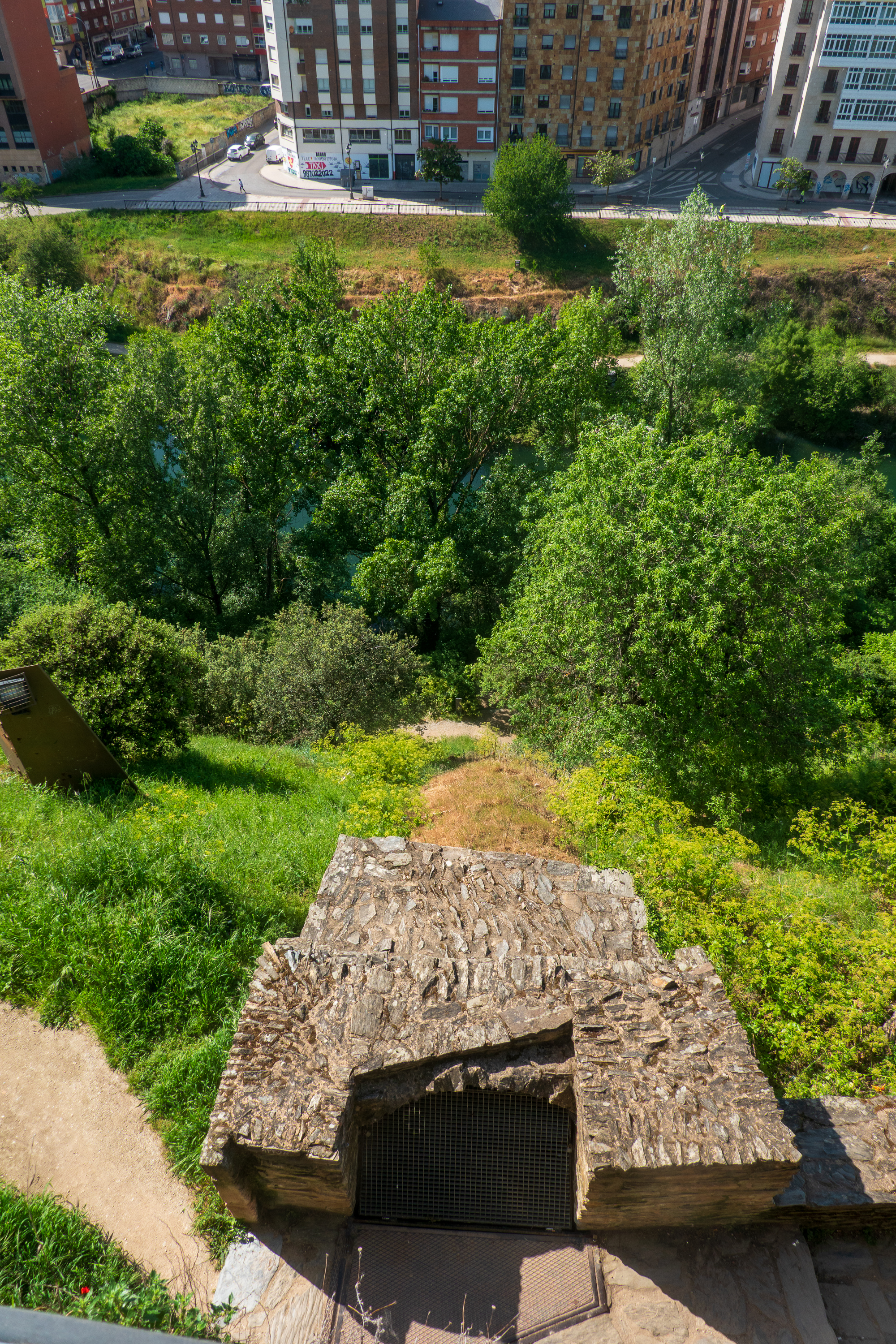
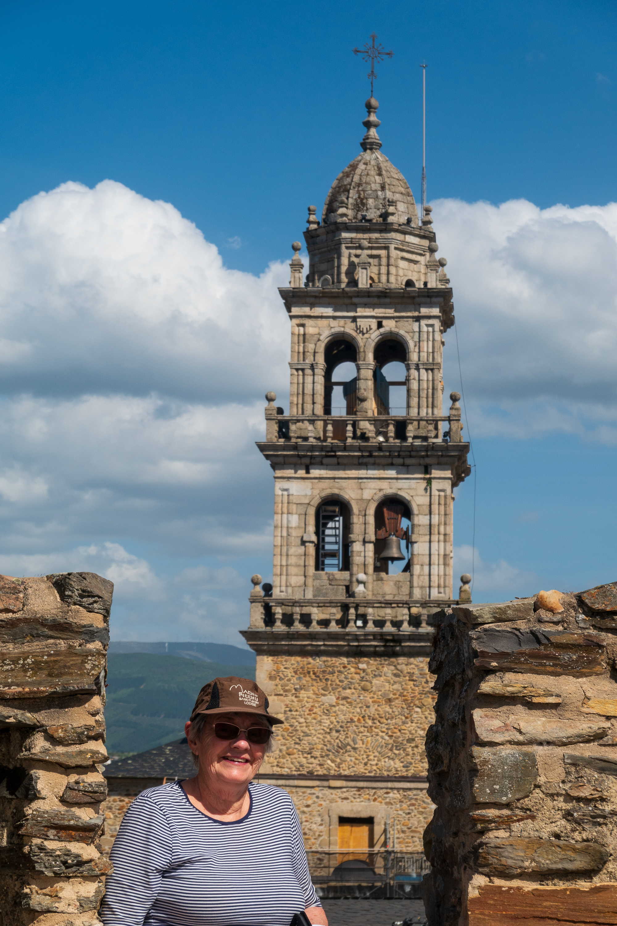
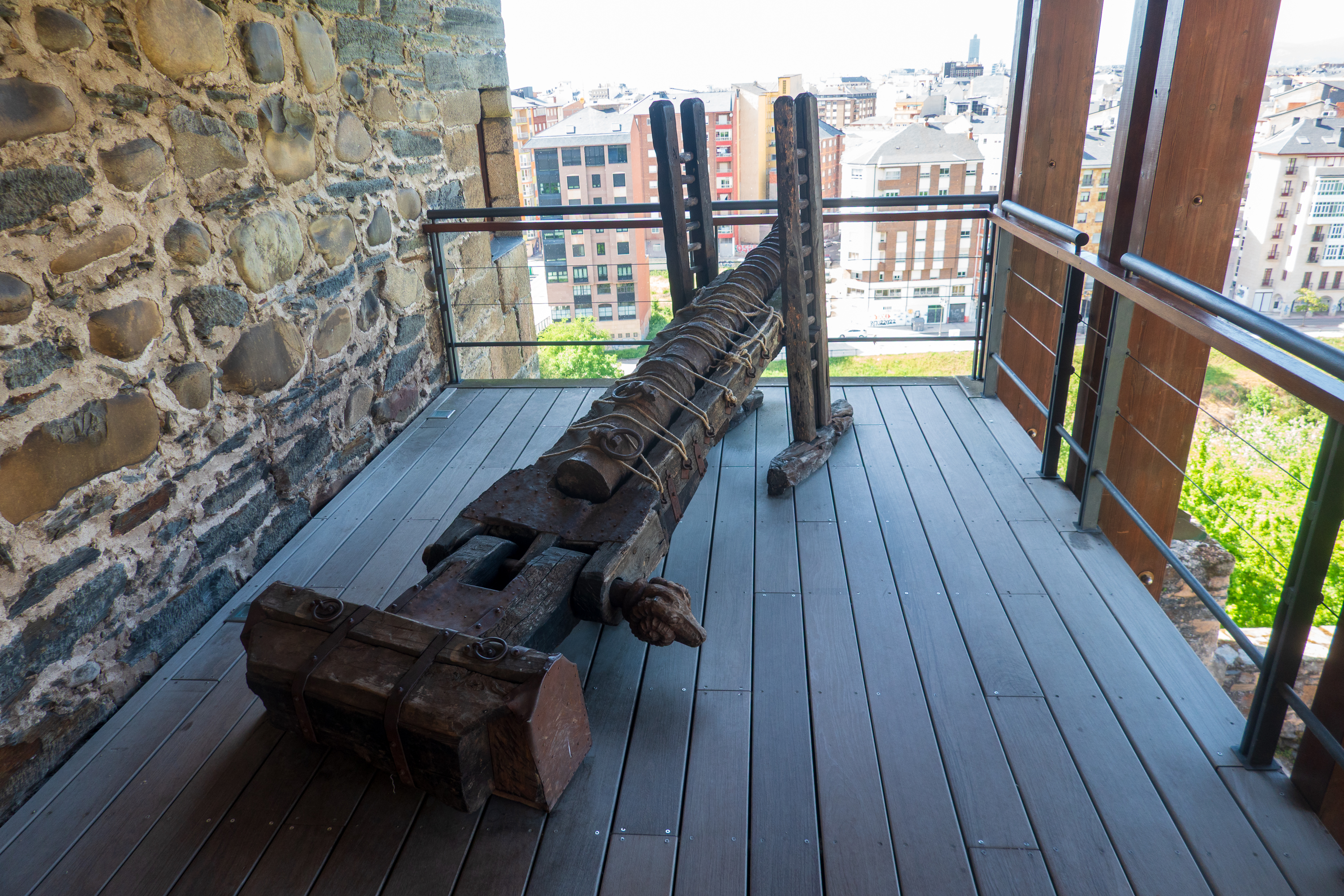
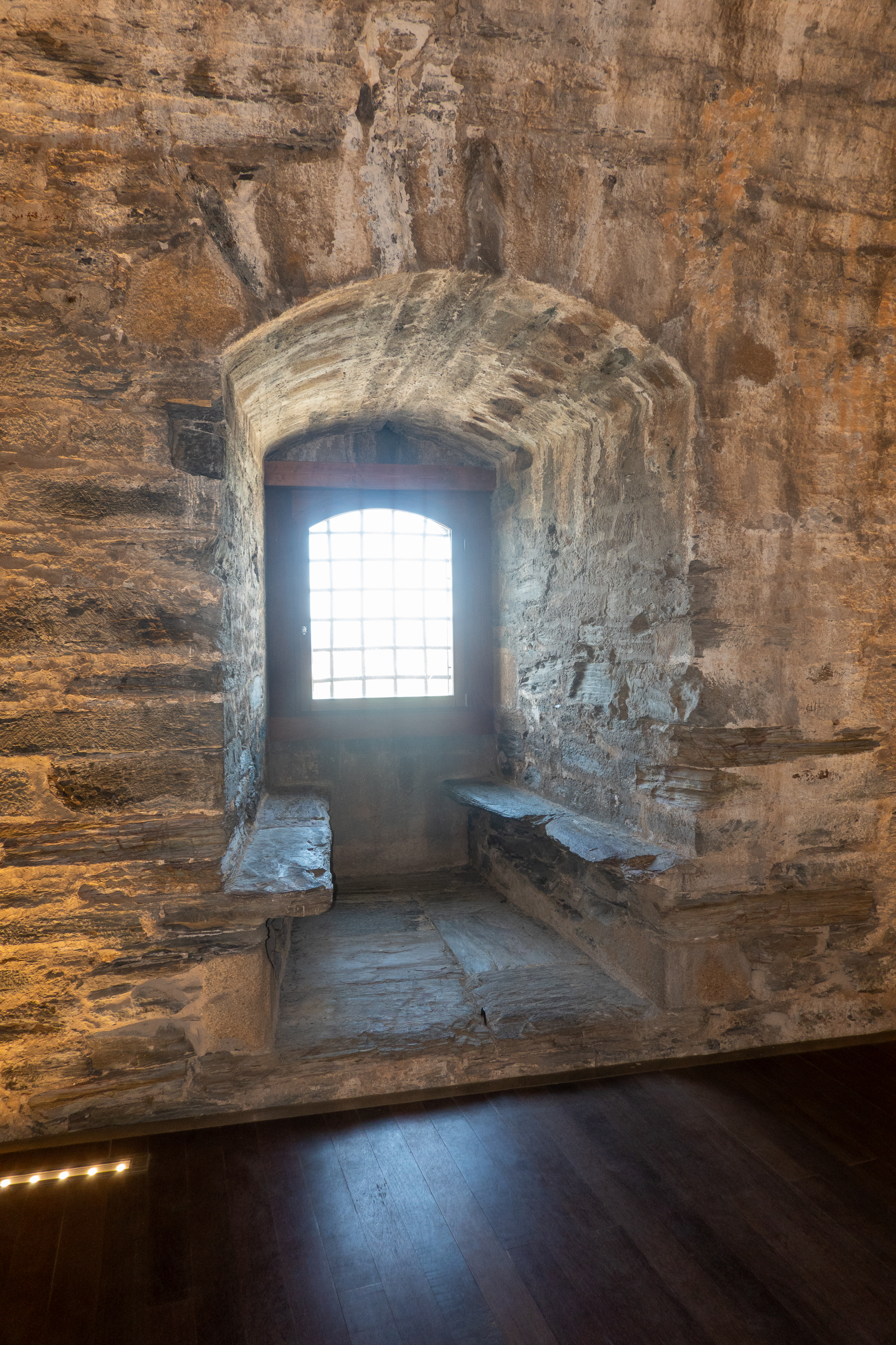
At about 4.30 PM we walked the half a kilometer or so to the Templar Castle, built to protect the pilgrims using the bridge on the Camino to Santiago. The site was originally a pre-Roman “castro” and then a Roman fort. It was used to protect pilgrims on the Camino, and owned by the Templar order for some 30 years. Afterwards it had many owners, many rebuilds, and is now owned by the Spanish government and is an excellent visit. There is next to nothing of the original Templar castle left, but it is a textbook example of castle construction and expansion.

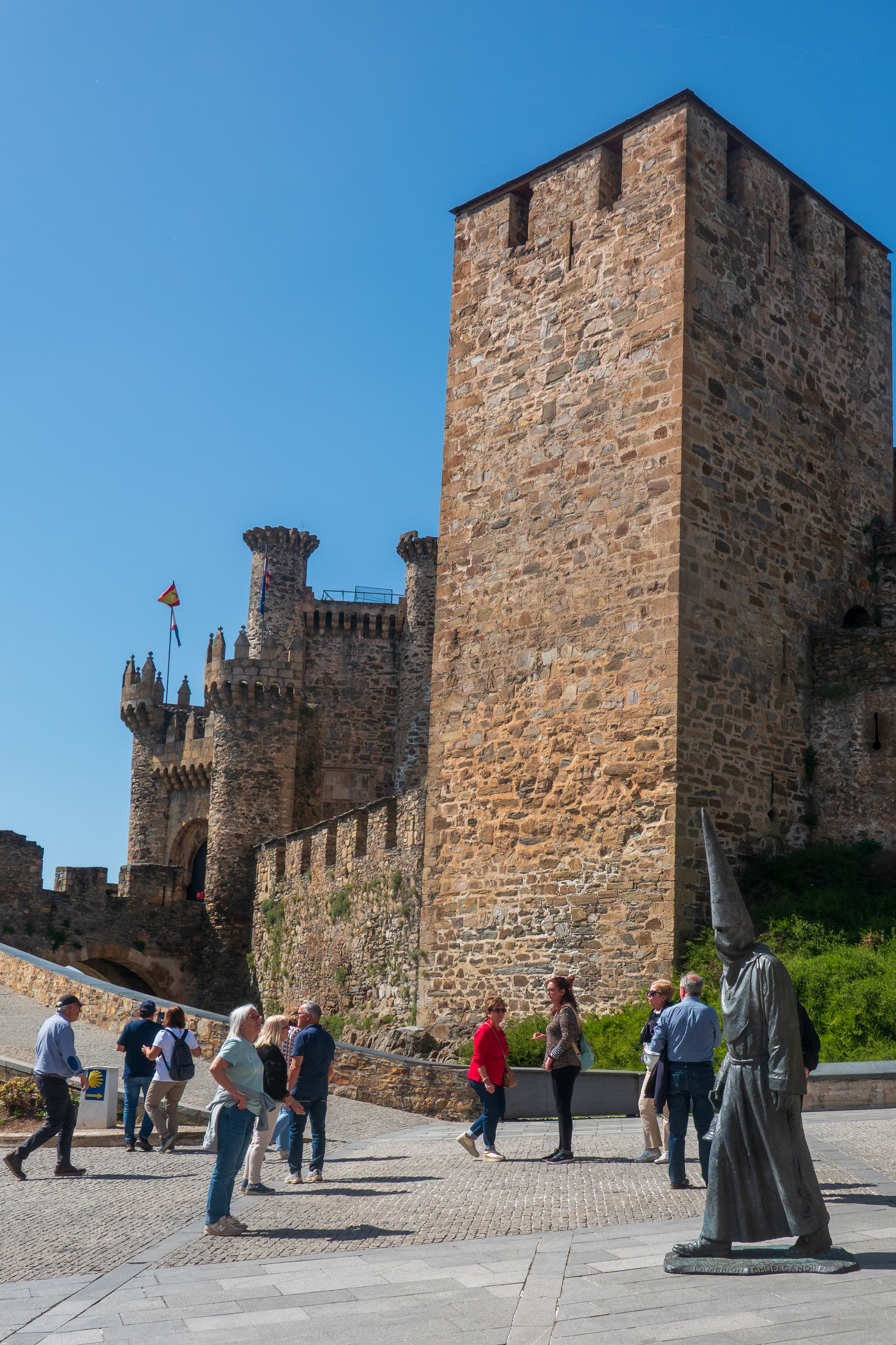
The excellent museum displays have good information on medieval life and made one interesting comment on Spanish castles, both Christian and Muslim – they could have many purposes. One was, of course, as protection against invasion or Reconquista by Christians or Moors. The next was protection against or control of your feudal neighbors, and finally, in more modern times, conflict between Spain and Portugal.

View across the expanded outer ward towards the original, Templar castle.
View down into the inner ward. If you look at the outlines in the modern pavement, you can see the foundations of what would have been the walls of the Great Hall, kitchens, well barracks, and other buildings.
Entrance to emergency tunnel down to the river for water. Sadly, not open for touring!

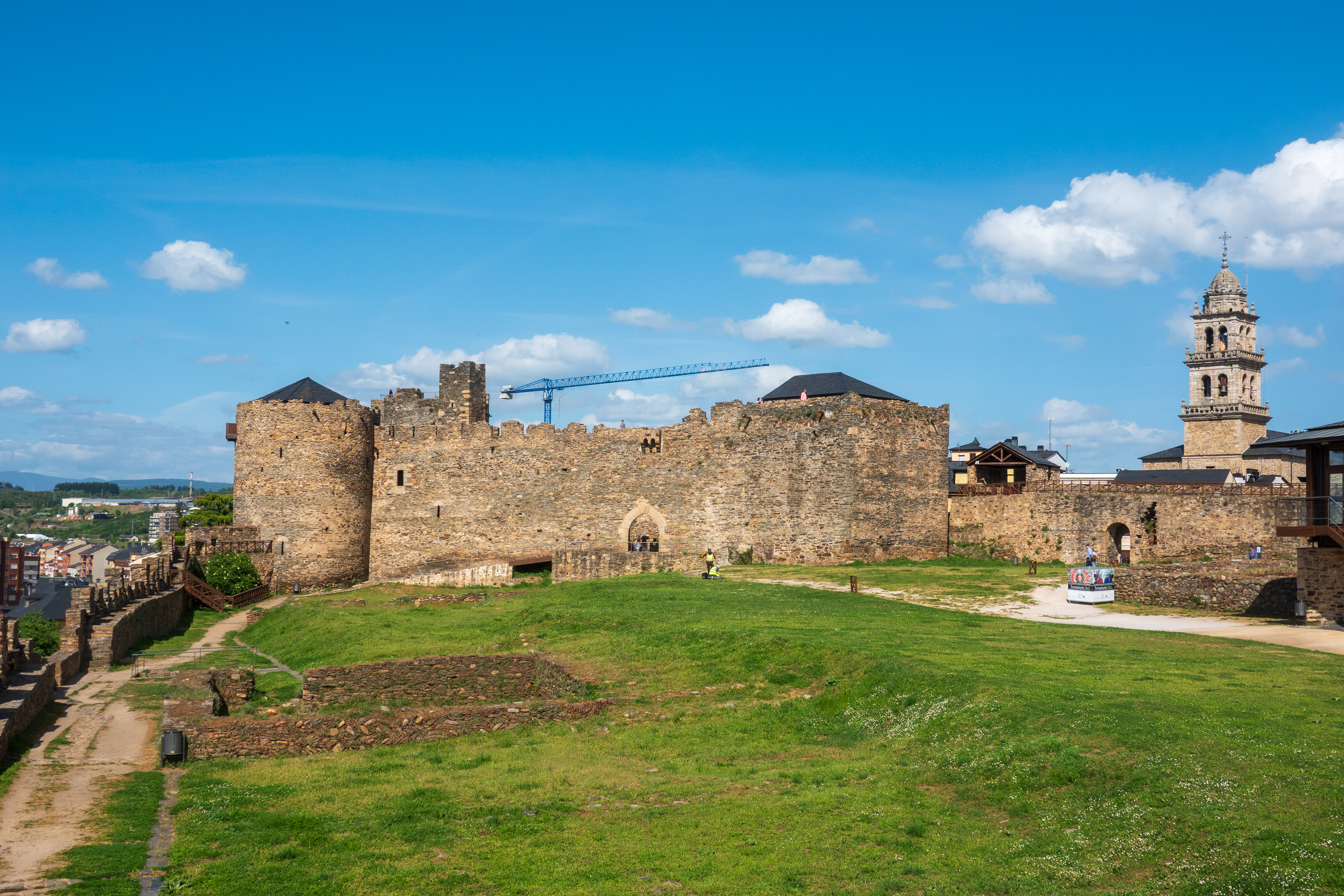
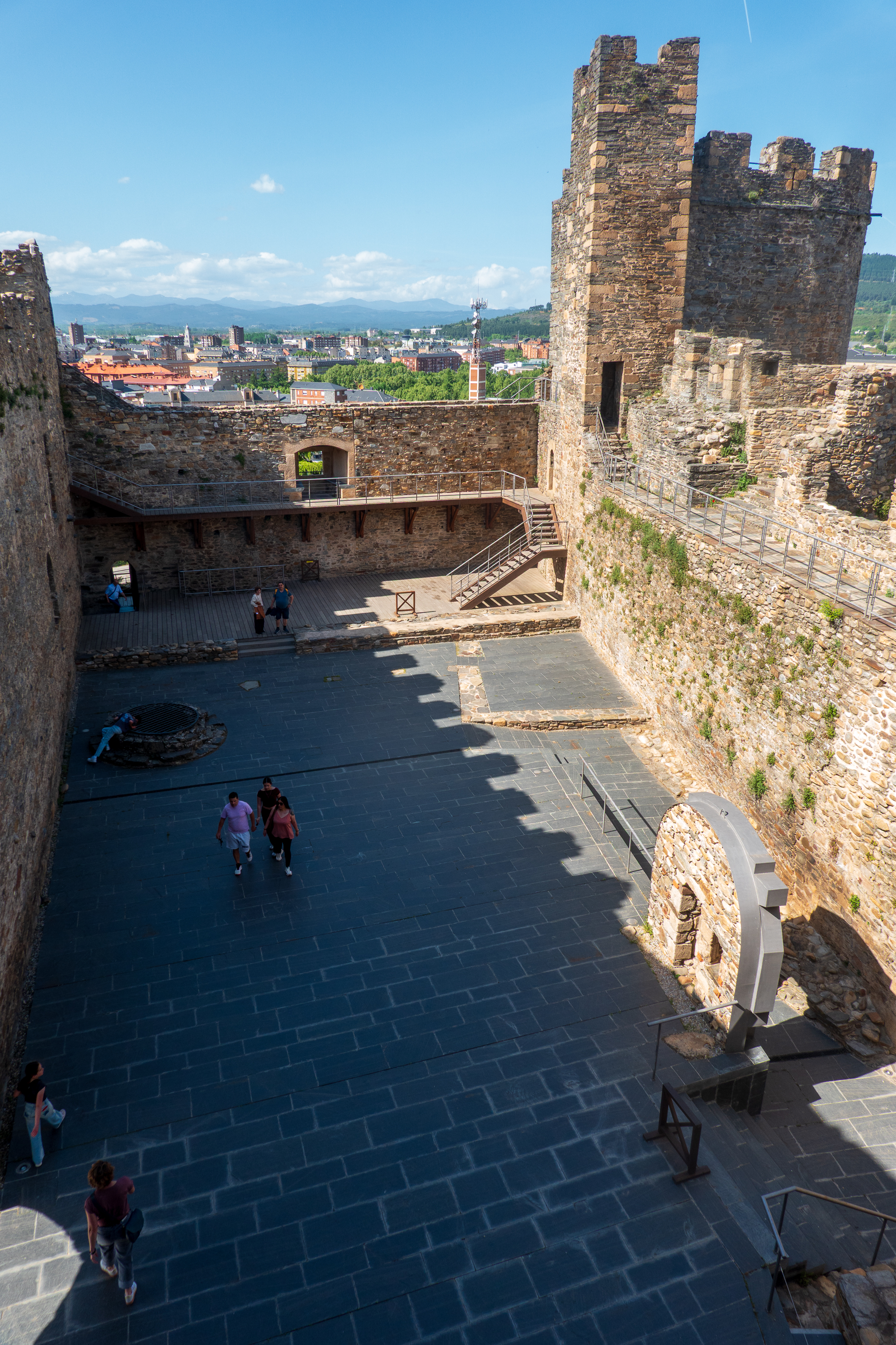
A castle was an investment for the ages! And still a tourist draw today.

Interesting hooks in the ceiling. Purpose?
Very early model cannon.
Pretty window seat.

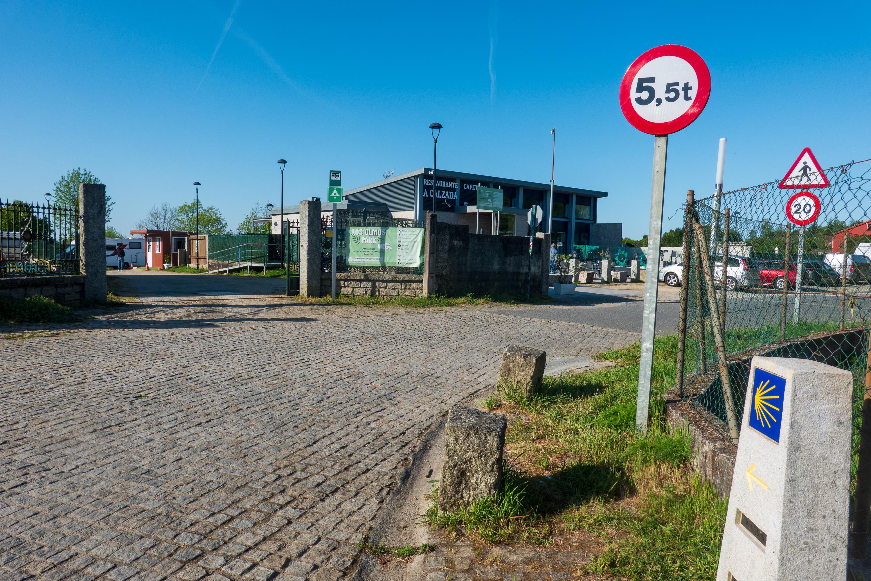
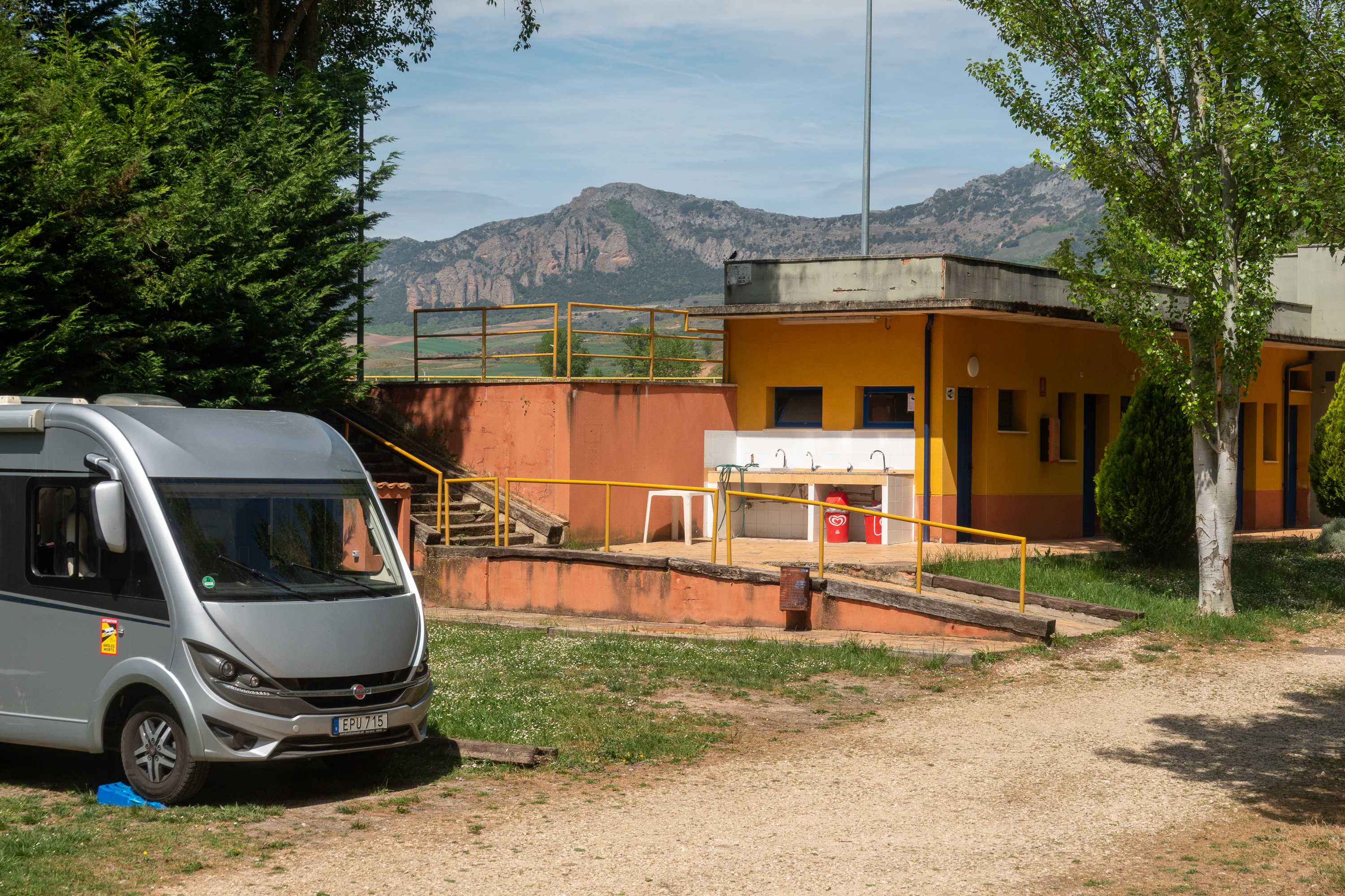
Continuing East we stopped at a funky little campground described as having a “GDR” vibe. (East German) That alone was enough to make us stop. While the site did, indeed, look very run down, it was very pleasant, almost empty, all of the facilities worked (sort of), and, when someone actually showed up, not expensive. Interesting that two of the people staying were tent camping from a car. Not as common as vans or motorhomes. (https://park4night.com/en/place/134997)

Even had a view of the mountains.

So When ARE you open?

We found that tourist sites often opened from 10.00 AM to 2.00 PM and then 4.30 PM to 8.30 PM. But some are open all day, with no lunch break. And the hours are reported differently by different, and sometimes even the same, website.  It makes it hard to know when to go!

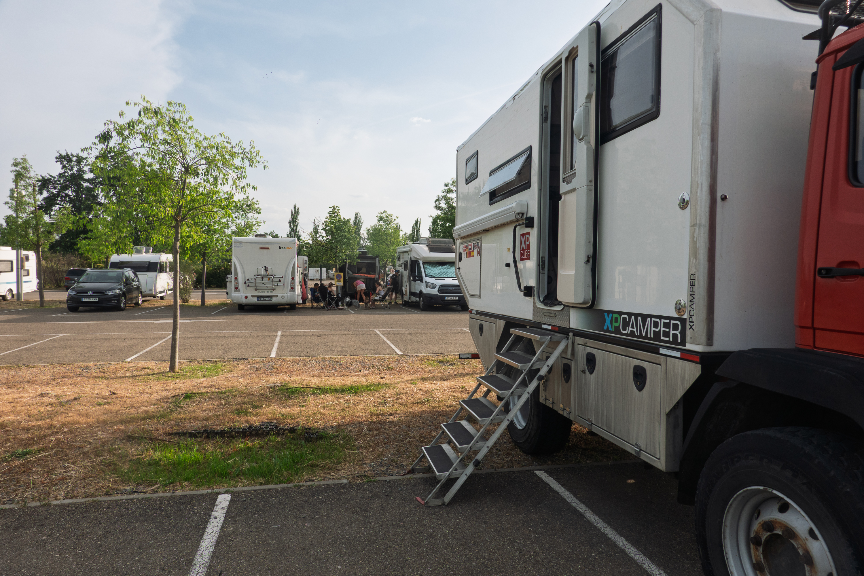
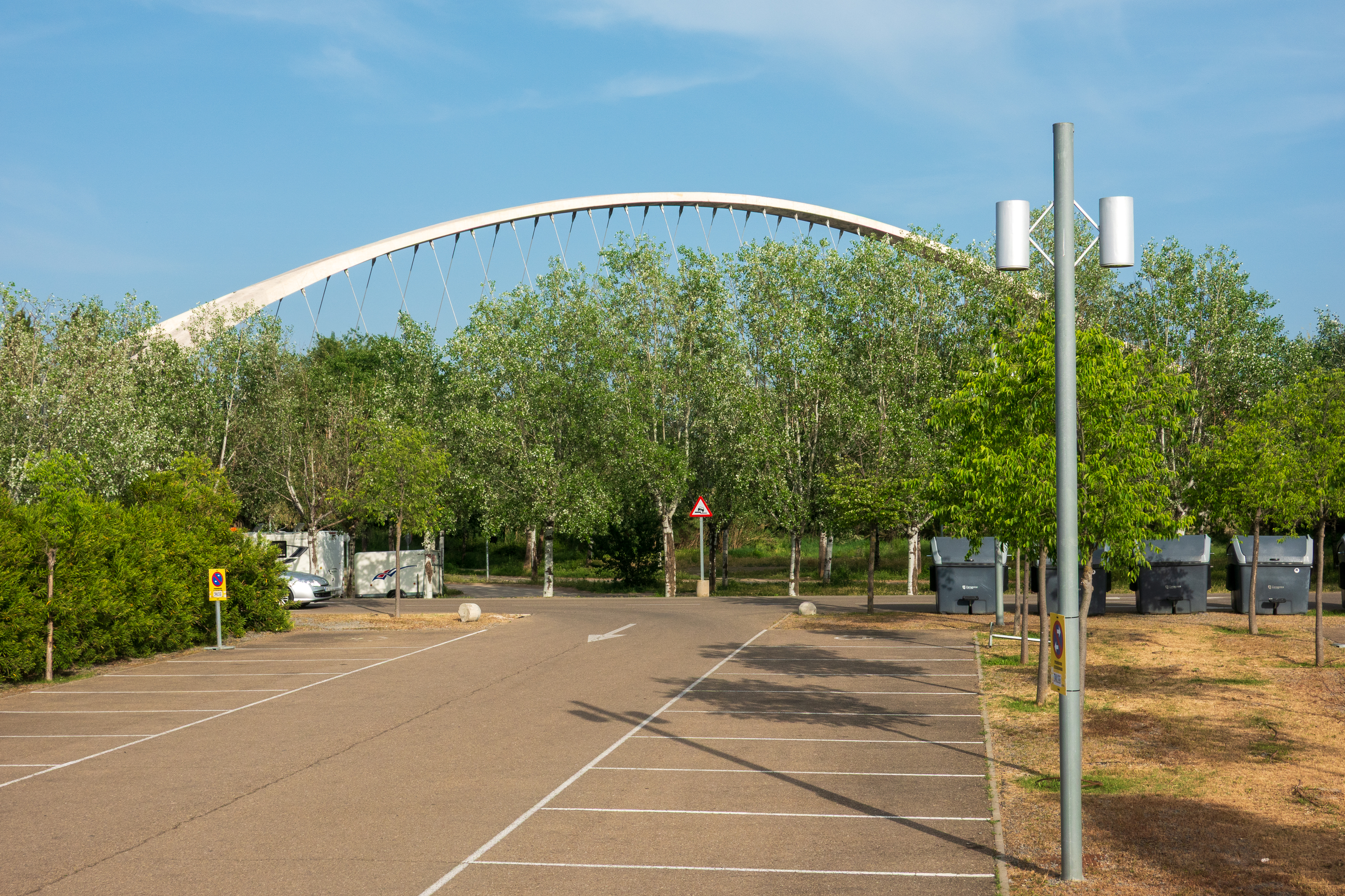
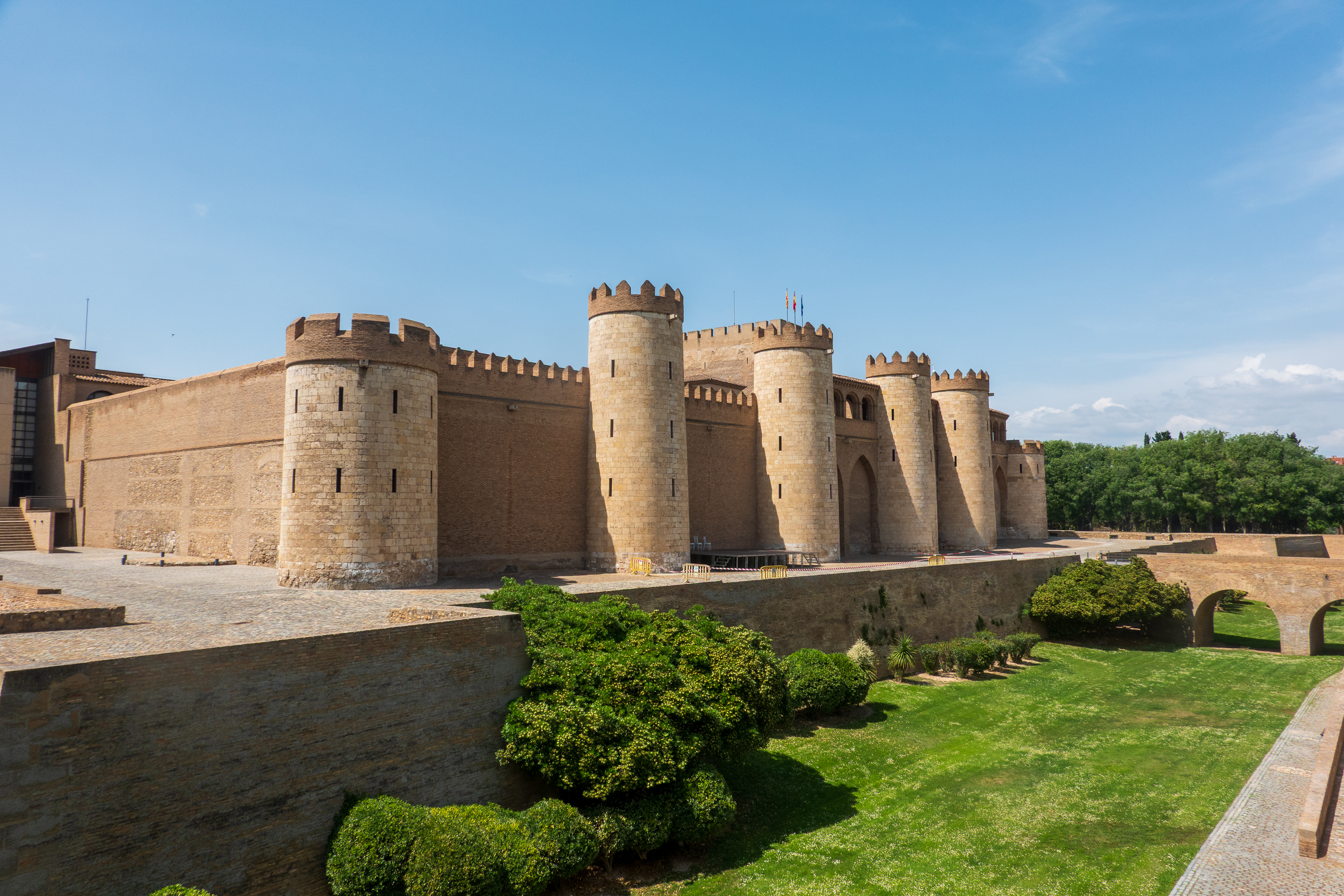
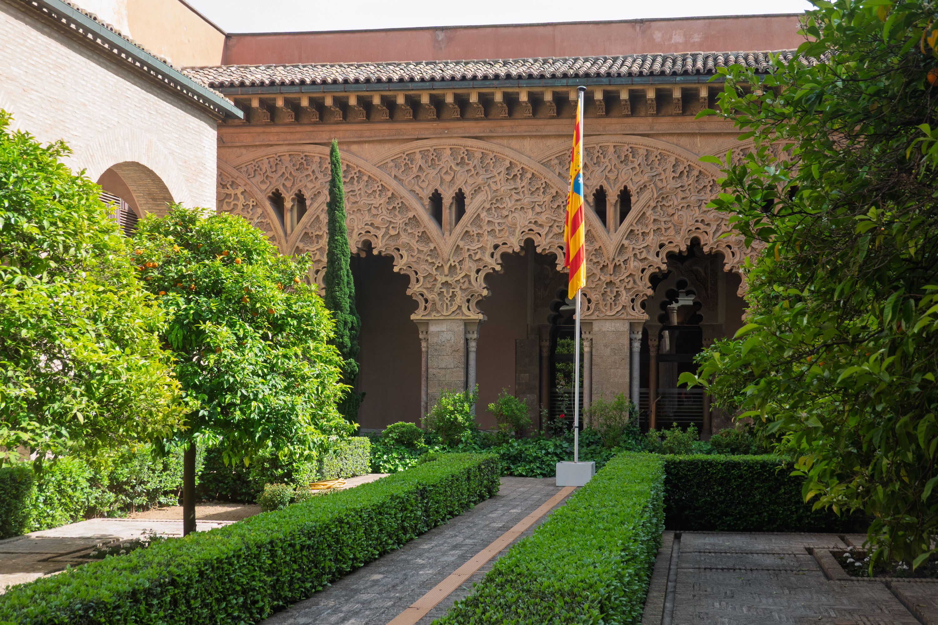
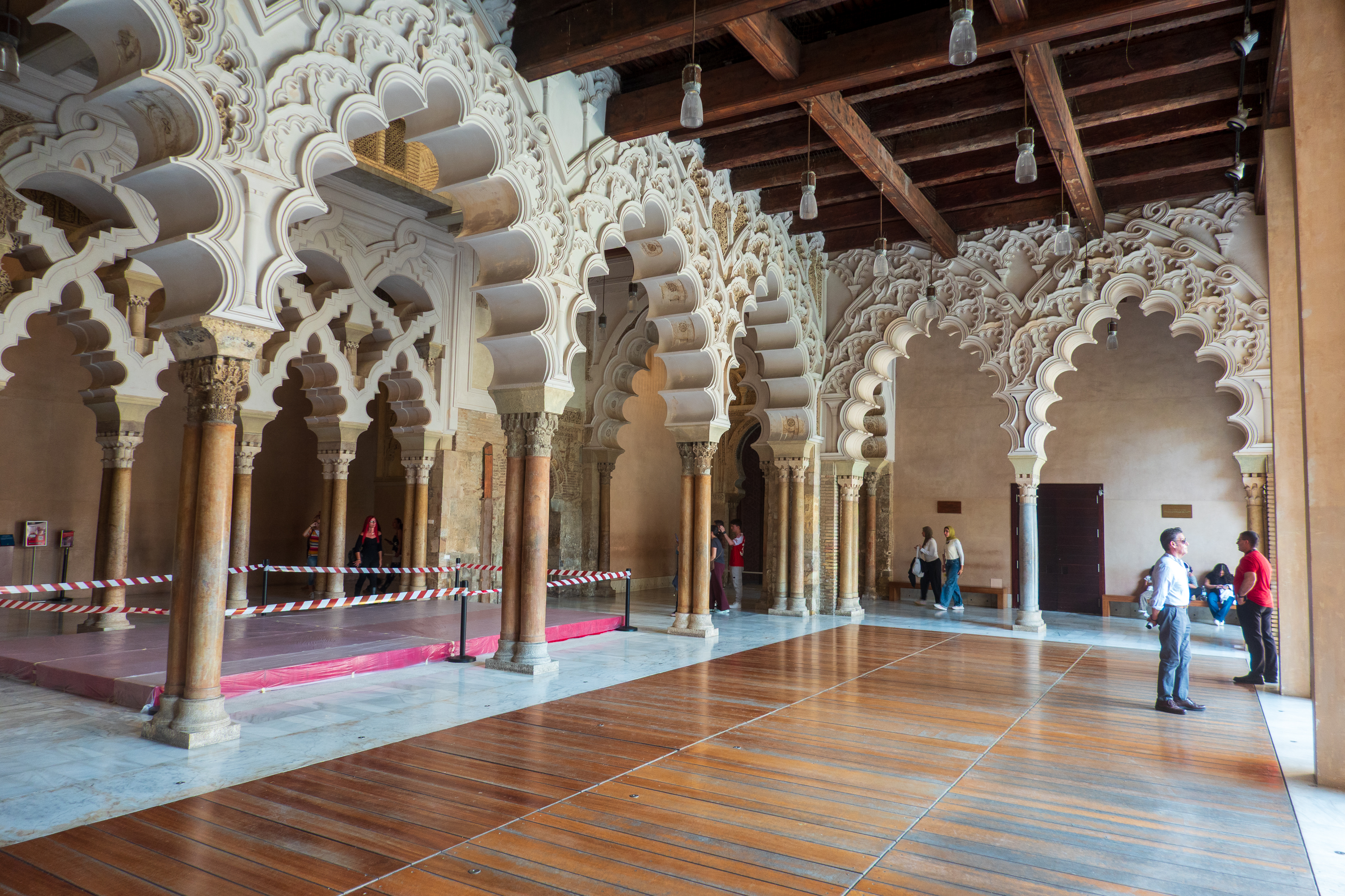
This we discovered in our next stop in Zaragoza, Aragon. We stopped here because Denise wanted to see the Aljaferia Palace, rumored to be Moorish architecture. It proved challenging. Car parks close to the Palace all had warnings of theft and damage issues on Park4Night. So we ended up in a lovely parking lot, about 30 minutes walk away, with a number of other campers all attending a dog show. There were lots of dogs!! 

Not totally clear if overnight parking is allowed, but the dogs were out, people were using outdoor showers, and we were pretty confident that no one would bother us.
Moden bridge over the river.

We double checked the website and it stated that the Palace was open from 10.00 AM to 6.00 PM. So foolishly believing the website, we headed out on foot at about 2.00 PM. We were afraid of traffic on our bikes. That turned out to be a mistake, as there were huge bike lanes and quiet streets!

The palace expanded and contracted over the centuries.

We arrived, to find that it opened at 4.30 PM. Entry was free that day, but it was closed until 4.30 for special group visits. So, we had two hours to kill and no nice little cafes nearby to spend time in. We popped into a little store, run by Ecuadorians. We had a nice chat about the old country, but they did not have tables or coffee, so we kept walking. It was hot, but we found a local dive bar (cash ONLY!), bought a bottle of sparkling water, and had a surprisingly pleasant sit at their sidewalk tables. Heading back, we found a place to buy an ice cream and took them into the park to eat and sit a bit.  Meanwhile the queue was getting longer and longer and it actually was almost 5.00 PM before we could enter. The last 30 minutes being spent standing in the sunshine in mid 80F temperatures.

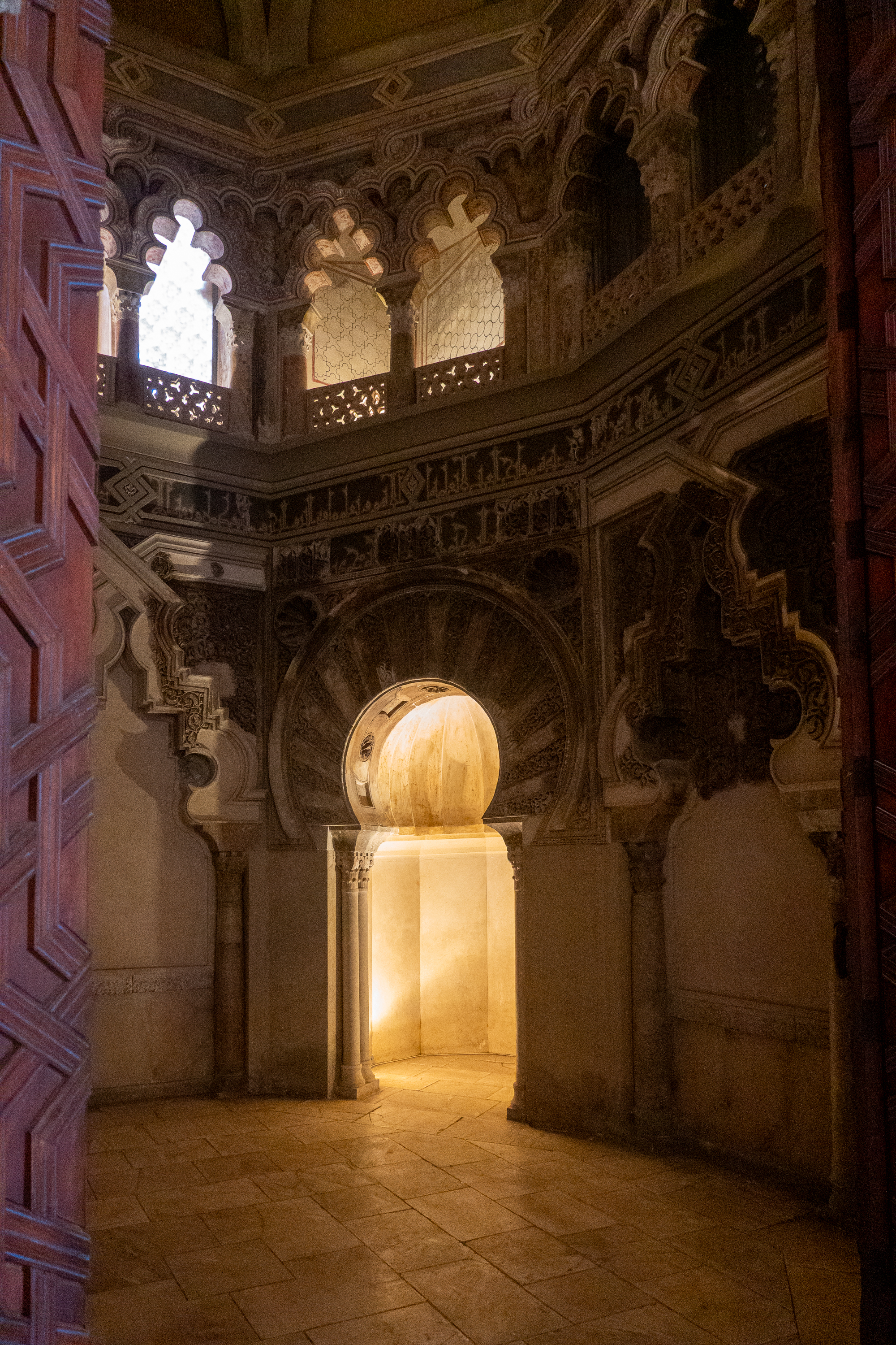
The Palace was most interesting. Fans of the movie “El Cid” may remember the Moorish emir that El Cid spares at the beginning of the movie, al-Mu’tamin. Brilliantly portrayed by the British actor, Douglas Wilmer, the real Mu’tamin provided the real Ruy of Vivar with refuge and employment when the later was exiled by King Alphonso. (https://en.wikipedia.org/wiki/Yusuf_al-Mu’taman_ibn_Hud

Mudejar art. A Moorish ceiling design, with the Castille and Leon coat of arms.
Echos of the Alhambra and Morocco.

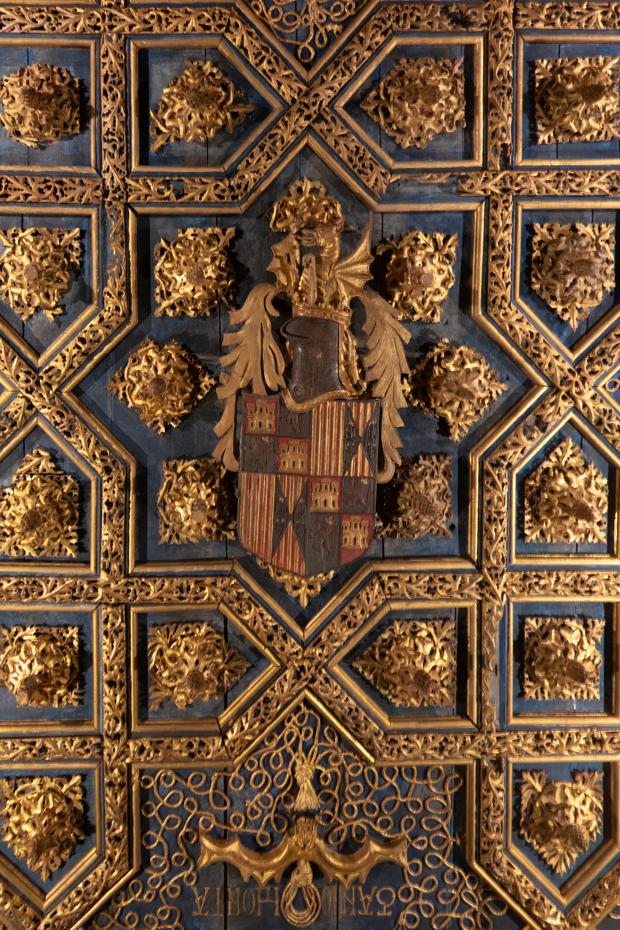
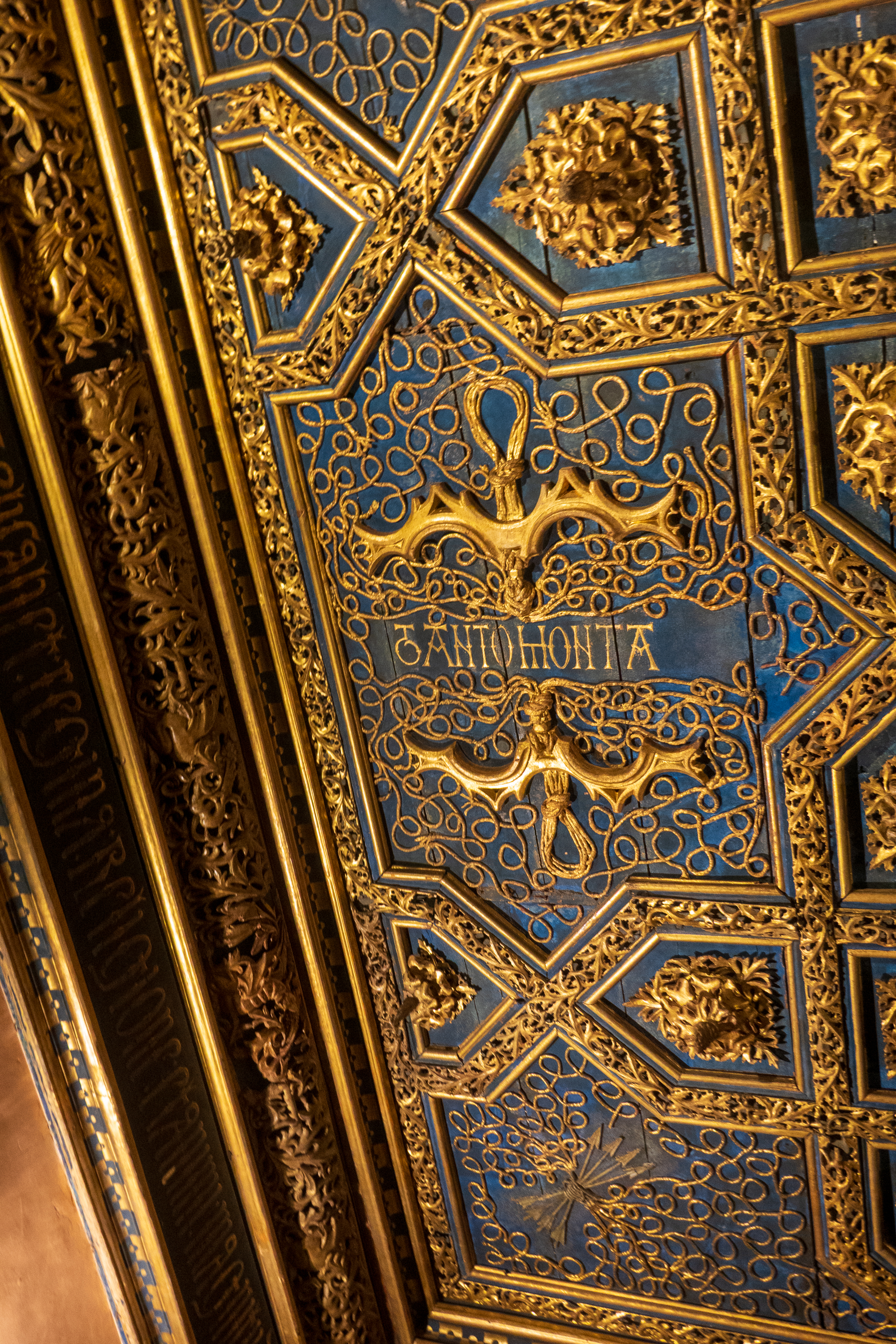
Here again, as in southern Spain, we found the “tanto monta” motto of Ferdinand and Isabella. Hard to love these Catholic monarchs, but the motto which means that whatever one says goes for both, was remarkably progressive for an age when queens were more often considered property of their husbands than actual rulers. (https://en.wikipedia.org/wiki/Catholic_Monarchs_of_Spain)

There was still a long line to enter when we left about 6.15 PM but we were fortunate enough to find a taxi with a most pleasant driver, who was happy to return us to our camper.

Santiago de Compostela

What’s in a Name?

Santiago de Compostela is best known as a pilgrimage site. We found that it has a wonderful, happy vibe. And it wasn’t just the pretty weather.


So, who was Santiago, or, if you prefer, Santiago Matamoros, or Saint Iago, Jacob, or any number of other names and spellings? For example: James, son of Zebedee, James, brother of John, Saint James the Great, Saint James the Greater, St. James Son of Thunder, St. James the Major, Saint James the Elder, or Saint Jacob, James the Apostle or Santiago. Also Thiago or Diego, depending on your choice of languages. (San Diego, anyone?) Basically, he was one of the original Apostles, the second to die, the first to be martyred.

He is also the patron saint of Spain. 

According to Spanish belief, James made a trip to Iberia (Spain) to preach and, thereafter, returned to Judea, where he was beheaded by “Herod.” (Herod Agrippa?) There is a chapel in the Armenian sector of Jerusalem, on the site where it is said that he was beheaded and where it is believed that his head (at least) is still buried. Some part(s) of his body were then taken to Spain and buried at the site that would become Santiago. These relics were discovered in the 9th century and Santiago became a site of pilgrimage, a pilgrimage that continues to this day, the “Camino de Santiago.” (https://en.wikipedia.org/wiki/Camino_de_Santiago

We crossed parts of the Camino during our travels in Germany and, last year, Carlos and Magy took us to the site of the battle of Clavijo, so we had already developed an affinity for Santiago. (https://diplostrat.net/2025/07/01/out-of-spain/ ) It was Saint James’ miraculous appearance at the Battle of Clavijo that routed the Moors and established him as the “Matamoros,” the Moor slayer. By the way, Carlos and Magy send their regards from Senegal, where they are awaiting the dry season in September. And they are still urging us to come join them on their trip to South Africa! (https://erg-adventure.com/2026/04/29/dejamos-atras-el-sahara-y-entramos-en-senegal/

A Happy Place

But back to Santiago de Compostela. We started our visit to the city by picking a camping location.  There were three possibilities and we picked the middle one because it was close to the bus route into town. It proved to be an excellent choice, the owner was most helpful and the services were excellent. And it was right on the Camino.

The blue field with the yellow scallop shell motif is the Camino marker. This one is 5.5 km.

Our first morning, a Sunday, we set off to discover the town. Watching the pilgrims walking (or staggering!) in to the square by the cathedral has a lot of meaning, even to those of us who have not walked the Camino.  We have friends from Arlington who would be arriving the following day after walking just over 100 Km and we were excited to see them and congratulate them. We have other, overlander, friends who have also done part of the Camino.

We then went to the main square, Prazo do Obradoiro, in front of the Cathedral.  A huge open space, it thronged with arriving pilgrims, tourists and, on the Sunday afternoon, a children’s choir! The whole place simply has a happy feeling.

Touring bicycles always remind us of our bicycle tour of Normandy back in the 1980’s.
Children’s choir.

We started with the Museum of Pobo Galego, or the Museum of the Galician People, housed in a former convent. (https://museodopobo.gal/en ) On the way to the museum, we passed one side of the cathedrals and enjoyed the bells.

Happy Bells!

We had no idea that Galicia was so different from the rest of Spain. The language, Galego, is a mixture of Spanish and Portuguese and the culture is quite different. This Museum explained a lot and it was a great visit. 

Back on the square, we finally found the entrance to the cathedral, on a side street, and went inside for a look. The cathedral was built between the 11th and 13th centuries on the site of a 9th century basilica, and is one of the greatest Christian shrines, due to the fact that the apostle, St. James, is supposed to be buried there.

Like some other Spanish organs, this one features huge trumpets on each side.

Along with all the other tourists, we passed behind the statue of St. James and touched his shoulders for luck.

The ceremony is to pass behind this statue and to place your hands on his shoulders.
The sarcophagus under the altar.

It is an imposing cathedral with a huge botafumeiro, or incense censer which swings over a huge arc of at least 20 feet.

Just could not get a good shot of the incense censer.
We ALWAYS light candles. The world needs it right now.

Monday morning our friends walked right by our campsite in the morning and recognized our truck. We had a quick consult and arranged to meet later in the day. They then continued their walk along the Camino. We, on the other hand, took the bus into town, to find it far more crowded than it had been on Sunday.  Tour groups galore!  The Museum we had hoped to visit turned out to be closed in spite of the information from our guide book. Grrr! So we went to the Museo Catedral de Santiago instead.  This included the Portico de la Gloria, which used to be the entry to the Cathedral  but is now blocked off and only visited for a fee! 

Photography is prohibited, but there are photos on the web.
The portico was originally all polychrome.

While we were visiting the Portico the Pilgrims’ Mass was concluding so we managed to see the botafumeiro swinging and to hear the magnificent organ. We regretted not attending the whole service.

We enjoyed a leisurely lunch, with a charming waiter and Cuban serenade, before meeting our friends in the square.

Lunch with the cathedral spire just peeking over the street.
Gentleman claimed to be Cuban. We tipped generously on condition that he NOT play “OneTonnaMierda!”

Denise wanted langoustinos and she got them!

Showing off the Camino shells. But more of a hike than our usual toddles on the Arlington bike trail!

After meeting up with our friends, we returned to our lunch restaurant for coffees, and to hear tales of the Camino. We then headed back on the bus and our friends went on to complete their pilgrimage. A very successful visit.

2026 – The Final Chapter begins

Bristol

Our (hopefully) final European year of wandering has begun.  We flew to Heathrow and stayed in the Doubletree Cadbury House Hotel, near Bristol, as usual.  Matt and Janet joined us for dinner, which was fun. Matt has stored our camper for us during our three years of absences!  (https://thatleisureshop.com/?srsltid=AfmBOoqYPXceGRY5GWcmnCJu2rMIJNdnPMY1gwi0RCC7XqjCpIZRXNEZ) He then picked us up the next morning, took us to the camper and gave us a first load of water to get started.

We then headed north to visit Sue and Trev, friends of Denise’s from university days.  We had managed to miss them on all our former camper jaunts so it was great when we found a field to camp in only four miles from their home. The trick was that the GPS decided that the 100 meter direct access to the farm was prohibited, and sent us down through the middle of town and then 10 miles round single track country lanes. You know, the ones marked “Your SATNAV is wrong – turn around!”

We were able to see them for two days and finally deliver Sue’s Yorkshire Lass mug, which we have been carrying for years! We all had a fabulous time and visited both Newark Park, (https://www.nationaltrust.org.uk/visit/gloucestershire-cotswolds/newark-park) a former hunting box from the time of Henry VIII, and the American Museum and Garden in Bath (https://www.americanmuseum.org). Sue had previously volunteered there and proved to be an excellent guide.  We also had a wonderful Indian meal at a Sue and Trev’s local restaurant.

We then headed to Plymouth to take the ferry from Plymouth to Santander in Spain.  As we waited to board, the truck was searched!  The first time this has ever happened.  The customs officials were pleasant and we quickly moved on.  The seas were good to us also and were comparatively calm.  In the notoriously rough Bay of Biscay, this is always good. 

We had reserved at a campground by the beach outside Santander.  The views were quite spectacular and the first day, we walked down to the beach to admire them.  Fred was deprived of ice cream because we forgot to take money but oh well!  The power steering belts needed to be tightened and it turned out that there was a bolt missing also.  That taken care of, we headed west towards our first stop, the Cuevas de Altamira.

Cuevas de Altamira

The Cuevas de Altamira proved to be wonderful.  A nice big parking lot (so we could park) and a most interesting museum describing the various Neanderthal and hominid peoples who lived there from 18,500 to 14,000 years ago. They created amazing cave paintings on the ceilings of a huge cave in which they lived.  After learning about them, and seeing some of their tools, we entered a reproduction of the cave. The original cave is no longer available to tourism to protect the delicate art, but the duplication is exact and the reconstructed paintings covered the ceiling.

We noted that the art became more realistic over the millennia.  The cave was hidden by a rock fall about 13,000 years ago and thus remained untouched for thousands of years until rediscovery in the late 1800’s. The whole visit was a fascinating look at the very earliest beginnings of technology – the first pointy things, the first cutting things, and the first pounding things, usually needed to shape the others. These all made it possible to hunt, cut food and skins, and perform other basic tasks. And we still use needles and knives to this day.

We then headed back down the winding mountain road (we had no idea this area was so mountainous) to Santillana del Mar and a delightful camping spot just on the upper side of the equally delightful small town, which, despite its name, is not beside the sea! 

There are cows everywhere in this region. We enjoyed the two in the adjacent field, who, along with two donkeys, provided hours of entertainment. The grass was being mowed and so they had their dinners piled up for them. 

The next morning we walked through the town, just as it was opening.  The tourist boom comes in the evening, especially in the summer. In any case, the Spanish rarely lunch before 2:00 PM.

The narrow cobbled streets were charming and we left bearing loot – local firewater, cheese, chocolate, and sausage.

Parque Nacional de los Picos de Europa.

We then headed up the into the mountains again to the Fuente De cable car, which rises to the peaks.  (https://en.wikipedia.org/wiki/Fuente_Dé_cable_car) We had a bit of a challenge finding parking as there was a barrier blocking the car park so that a high vehicle like ours could not enter.   We ended up in a space that was used by buses but that worked well as no one seemed to mind.

We took the cable car up to the top, had a good look around and then descended again. It was chilly on top! 

Exotic navigation tool? No. A cellphone holder for taking selfies.

This is a popular hiking and climbing area and many use the cable car to start or end trips through the mountains.

Our lodging for that night was an Aire in Potes that was quite delightful.  We had cow neighbors again! 

We also had an easy walk into the town of Potes, where we took a picture or two and enjoyed a cider and some tapas beside the river bridge before heading back for dinner.

That is the bridge that carries the main road.
Love the combination of old and new wiring and beautiful stone carving.
A beautiful dawn in Potes.

Our next stop was a beach aire, Coto Camper, at Barreiros.  It was only a short walk to a beautiful sandy beach, but the weather was unpleasant – very dense cloud with light rain. Everything felt very cold, or chilly at least!  We considered staying two nights, as the facilities were lovely, but the next day dawned the same and the weather forecast seemed better on the western coast.  So we headed to A Coruña.

N.B. We stay in a range of different sites, called “Aires” in French and “Sostas” or “Areas” in Spanish. We try to avoid formal campgrounds if we can, due to price and the fact that we don’t often need the services that they offer – showers/dishwashing/toilets/electricity. The aires and sostas range from parking lots at gas stations to lovely sites that are indistinguishable from a campsite. The big difference is that campsites tend to offer themselves as actual vacation destinations, with restaurants, swimming pools, playgrounds, etc., as opposed to simple transient stopovers for the night. That said, the lines are blurry. One interesting exception is certain municipal areas, where stays are strictly limited to one overnight, and it is prohibited to use leveling blocks, set out chairs, or open windows!

A Coruña and the Tower of Hercules

The first part of the trip, through the mountains, was through really dense fog and visibility was very low.  Then the skies slowly began to clear and we found the sun again! 

We wanted to visit the Tower of Hercules, a lighthouse built by the Romans at “finistere”, the end of the world. (https://en.wikipedia.org/wiki/Tower_of_Hercules) The lower 100 feet is still Roman – those cats knew how to build. Getting through the town was exciting, as the streets are narrow and the traffic heavy.  Our route included a tunnel with a height of 3.9 meters. We are  3.6 meters, so we had some very scary moments until we realized that our measurements were indeed correct. Then the exit from the tunnel was a sharp right turn ramp, so steep that we had to use the crawler gear.

There is a parking lot near the Tower with a section for motorhomes but it was, of course, full.  We ended up getting permission from a motorhome to double park behind it.  Not the best of solutions but it worked for the time it took us to hike around the point and up to the Tower.

The Tower is unfortunately closed but we were able to get to the base.

Birds round the tower
There is a sculpture park surrounding the tower.

It was a nice sunny day by now but very windy.  The views of the town and the rocky coves were however spectacular.  It was so windy that we were almost glad to leave the headland and head through town (again – but this time no tunnel) and back to the autopista heading for Santiago de Compostela.