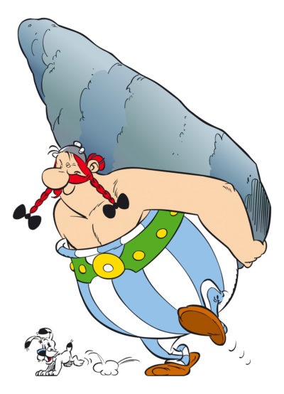
For the title of this post to make any sense, you have to understand Asterix, a wonderful, anachronistic French comic strip about a Gaul and his buddies who defy the Romans. They travel the Roman world, having great adventures and making lots of jokes about peoples and cultures. For example, the Brits, who have not discovered tea yet, stop fighting the Romans every day at four o’clock to drink hot water “with a spot of milk.” The Swiss interrupt orgies to clean up all the cheese, the Spanish roads are terrible and packed with tourists in August, and they are still digging a tunnel under the Channel while listening to four long haired troubadours. (No one thinks they will amount to much.) Romans all have funny names, like the dirty centurion “Insalubrious” and he is assigned boring guard duty at the town of “Tedium.” Of course, the Gaullish bard, who signs badly, is “Cacafonix.” And the translation of these names and jokes between English and French is great. See more: https://en.wikipedia.org/wiki/Asterix
At any rate, Asterix’s best buddy is Obelix who delivers Menhirs. And Bretagne, or Brittany, is famous for its menhirs. So, we are chez les bretons, looking for menhirs.
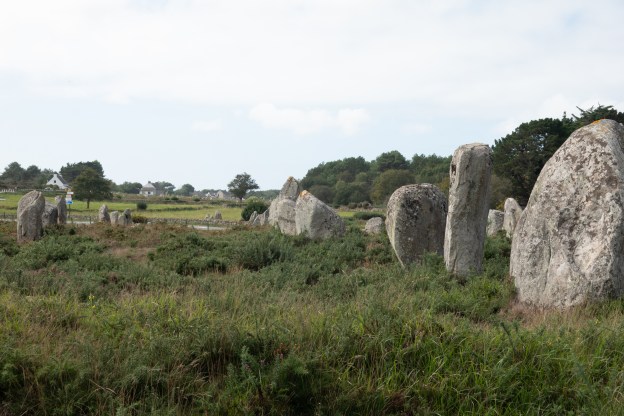
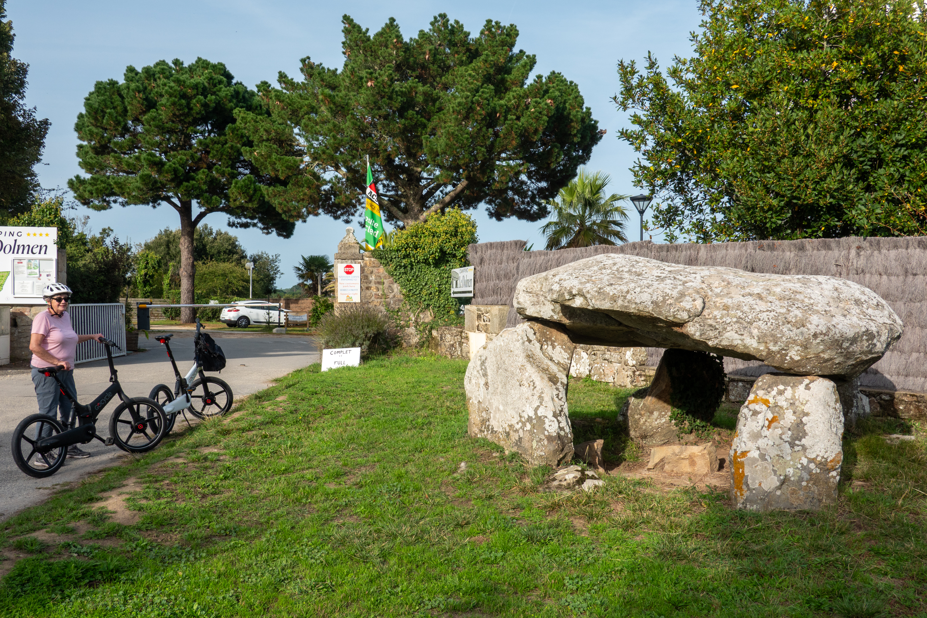
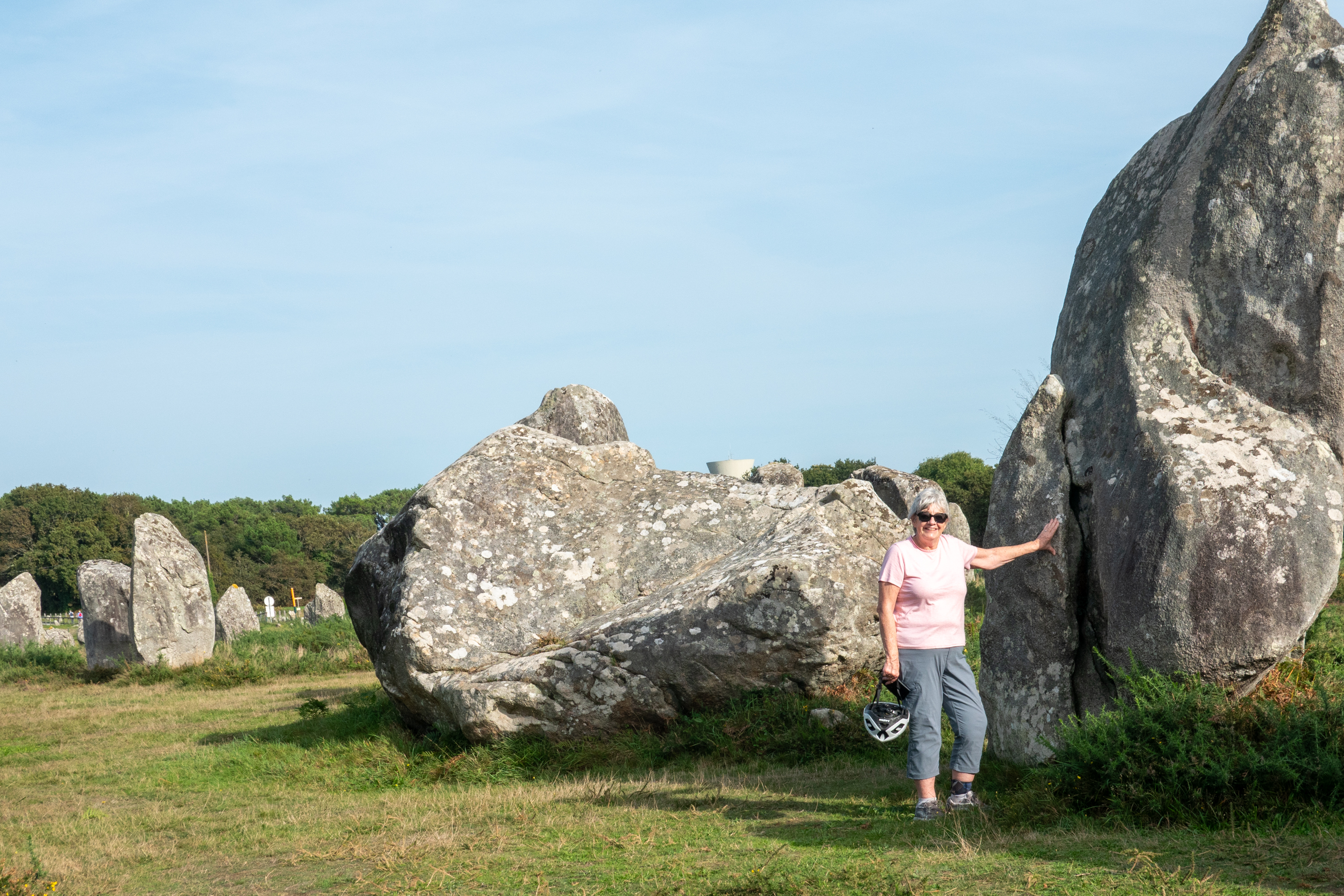
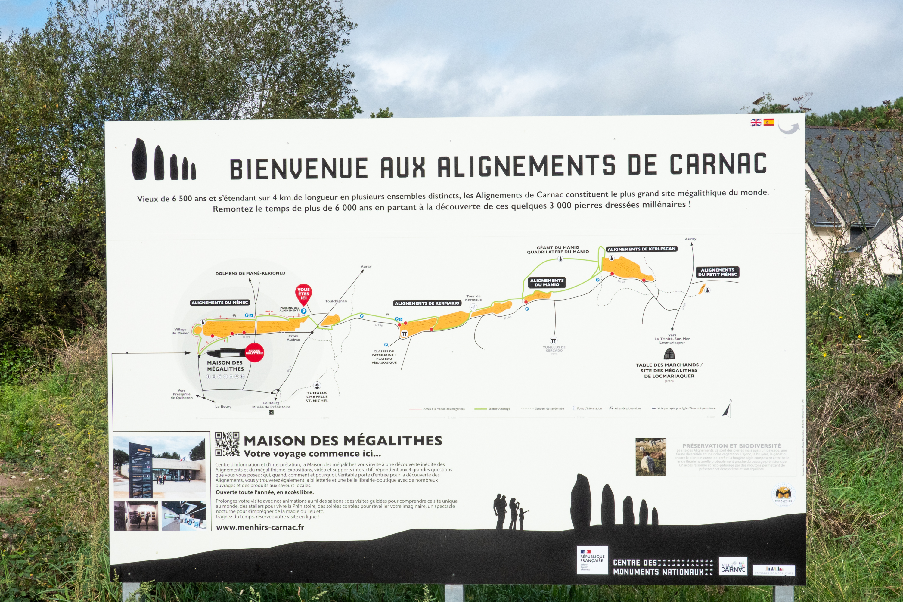
Menhirs are great big rocks, set upright, usually called “standing stones” in English: https://en.wikipedia.org/wiki/Menhir These things are everywhere. We saw them in the Orkneys and, in France, at Carnac, they are arranged in long rows. So, as we were now up to date on WW2 history, we decided it was time for something even older and headed to Carnac. After settling in at a campground named “Le Dolmen” (guess what they have at the gate), we unloaded the bikes and headed out to explore.
Not many KOA’s can boast a megalithic tomb at the gate.
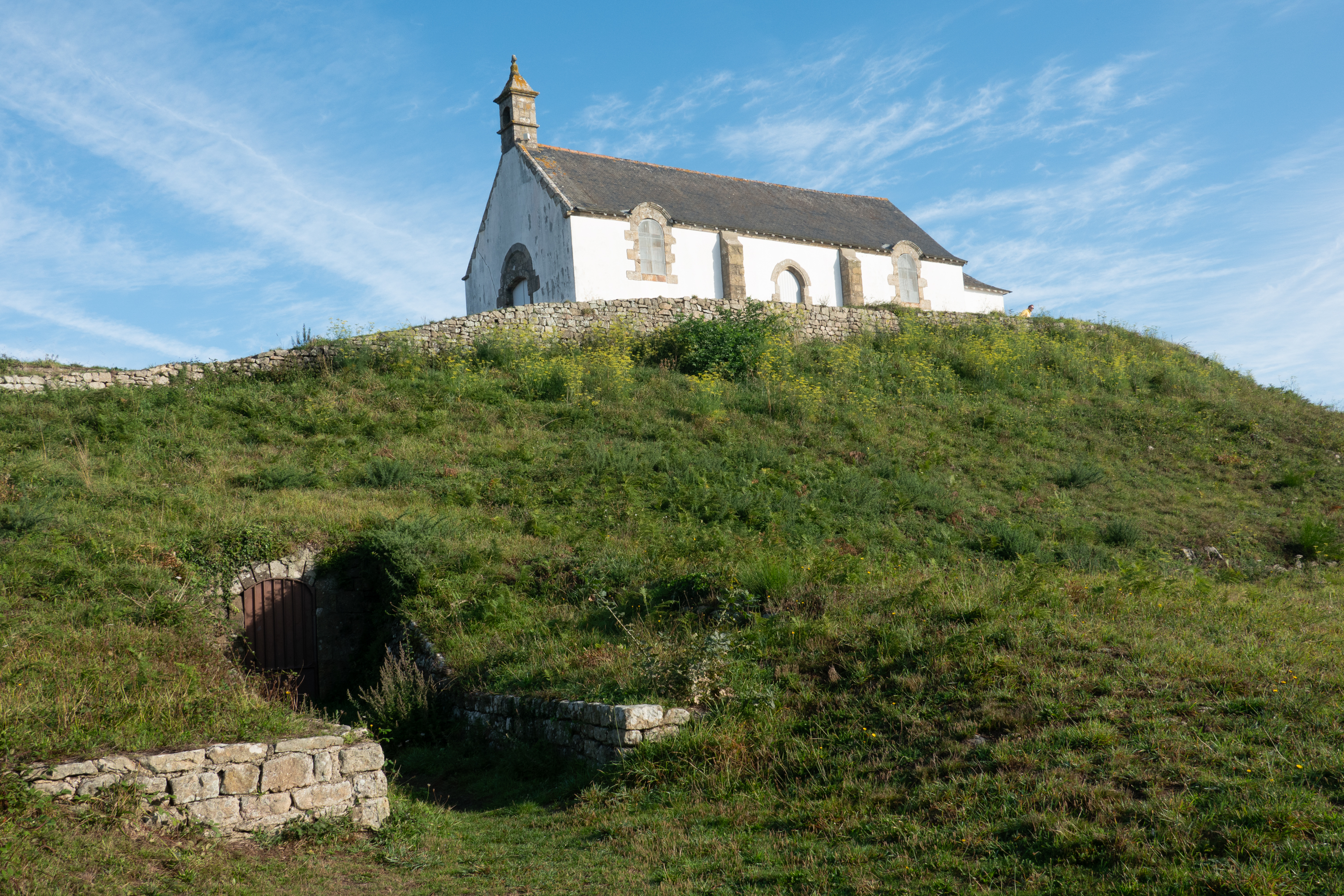
Our first stop was the tumulus and Chapel of St. Michel.
At first glance, an ordinary little church built on a hill. But this hill is a tumulus, that is, a large mound of earth, piled over a dolmen, or neolithic tomb. You can still see the entrances to the underground galleries, but you can no longer go inside the tunnels or burial chamber. A neat example of something hiding in plain sight; unless you knew that the hill was artificial, it simply looks like any other hill. Probably no accident that there is a church on top; it probably sits on an ancient temple.
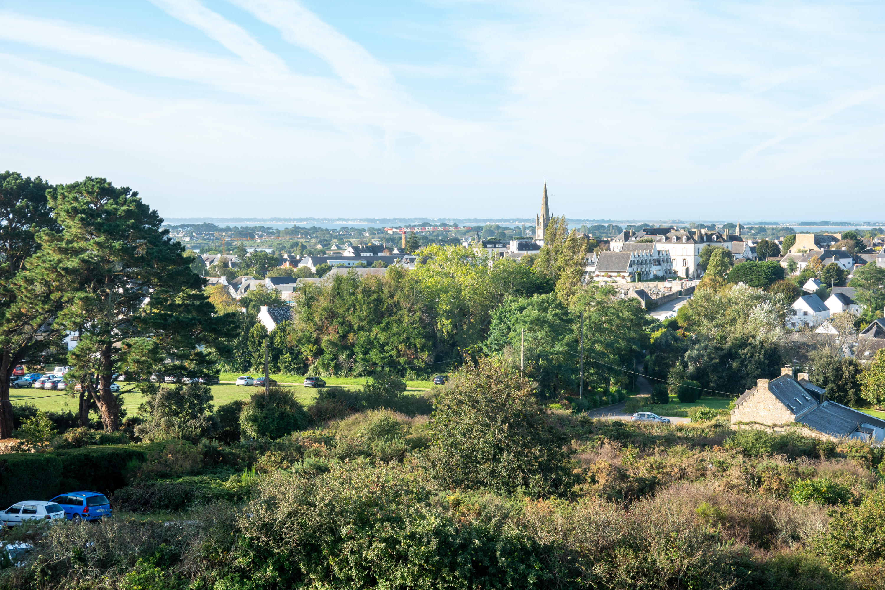
Unfortunately, the burial tumulus and the chapel are closed but the view of Carnac from the top is spectacular.
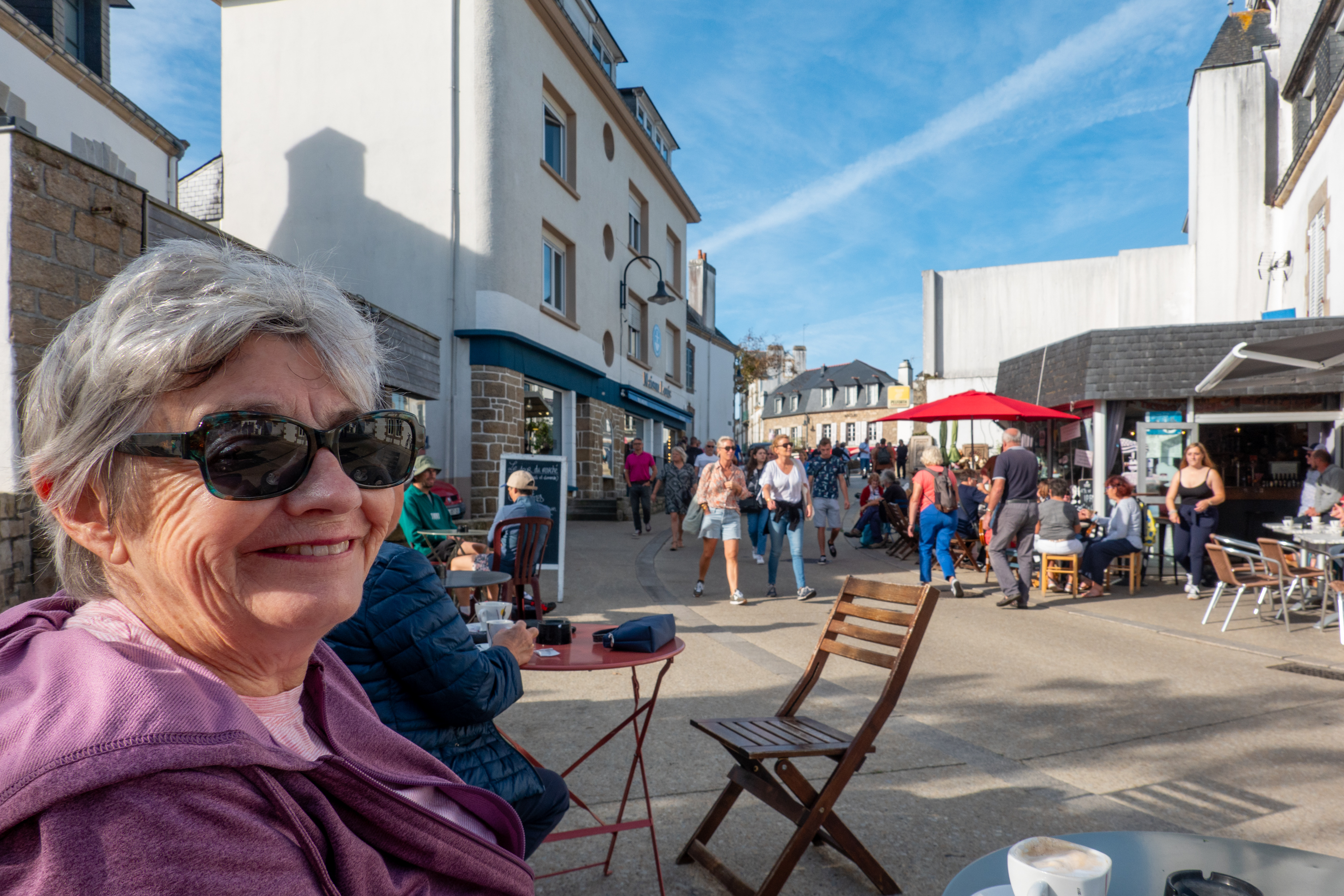
As we cycled back down the hill, we fell upon the Sunday morning market in full swing. Denise can never turn her back on a market, so we parked the bikes and went to see what they had available. Answer? A lot. After stocking up on vegetables and admiring the fish and meat stalls, (and wishing the fridge was big enough to buy some), we stopped for a coffee in the town square.
We saw several of these market trucks which open out into full grocery store style counters.
The coffee was actually terrible! And we could not buy a goodie as the line at the boulangerie stretched down the block. But we enjoyed watching the world go by (buy?).
As we returned to the bikes, we found a stall selling strawberries, so we bought two tubs (and had a free raspberry tub thrown in!) So, laden with loot, we returned to the camper for lunch and to sort out purchases.
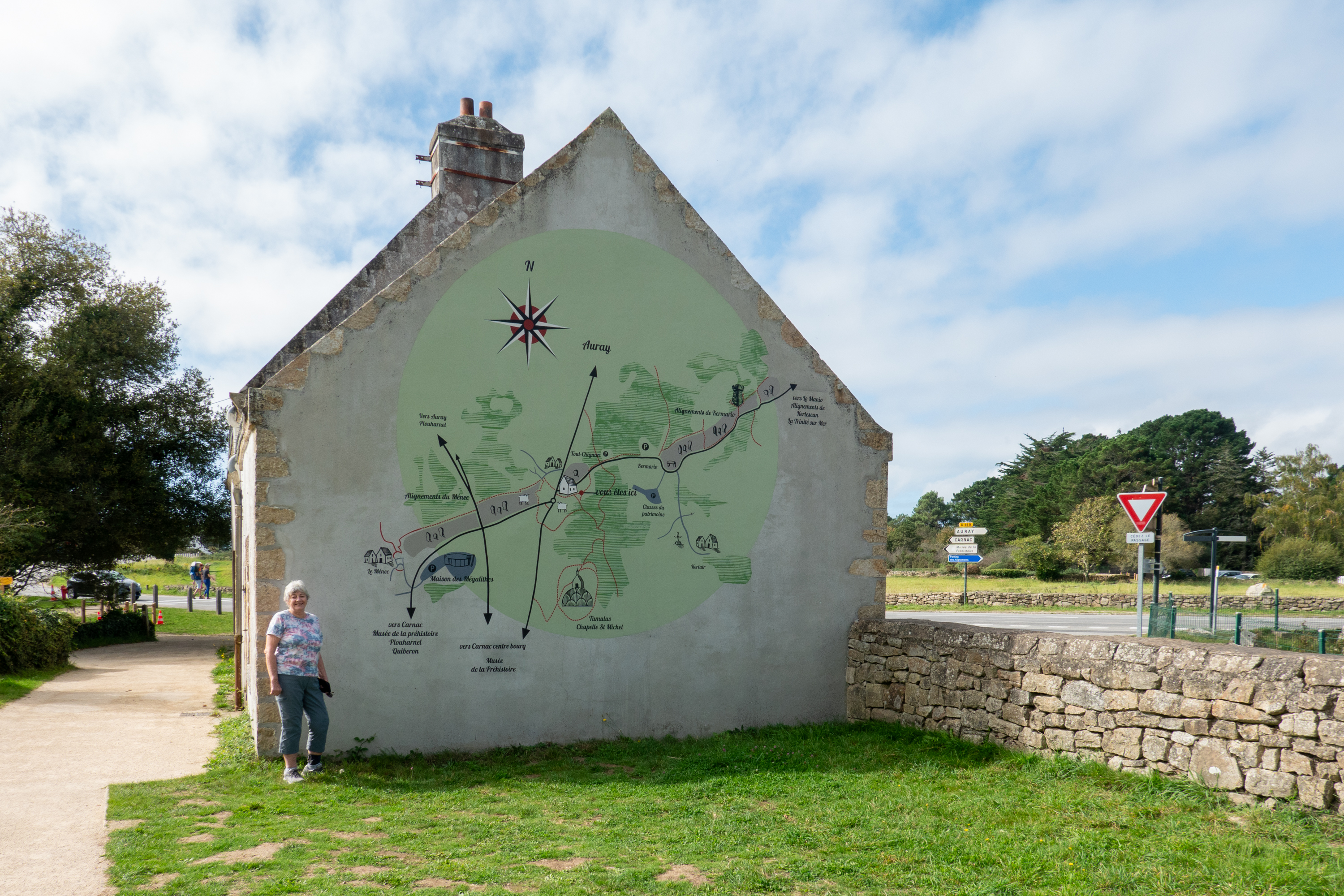
We then set out to view the rows of menhirs which cover the surrounding areas. It is assumed that they had a religious significance and there were burial mounds with stone roofs in some areas.
We decided to take the “Little Tourist Train” so we could see more of the surrounding area. The train route included Carnac Beach, which was obviously no longer as active as during the summer months, but still quite busy. We returned to the bikes and cycled out past several of the groupings. At one point Fred climbed a tower to get a better view of the rows of stones. The groupings cover a length of 10 Km from start to finish. Talking of finish, we finished with an ice cream and returned to the campground!
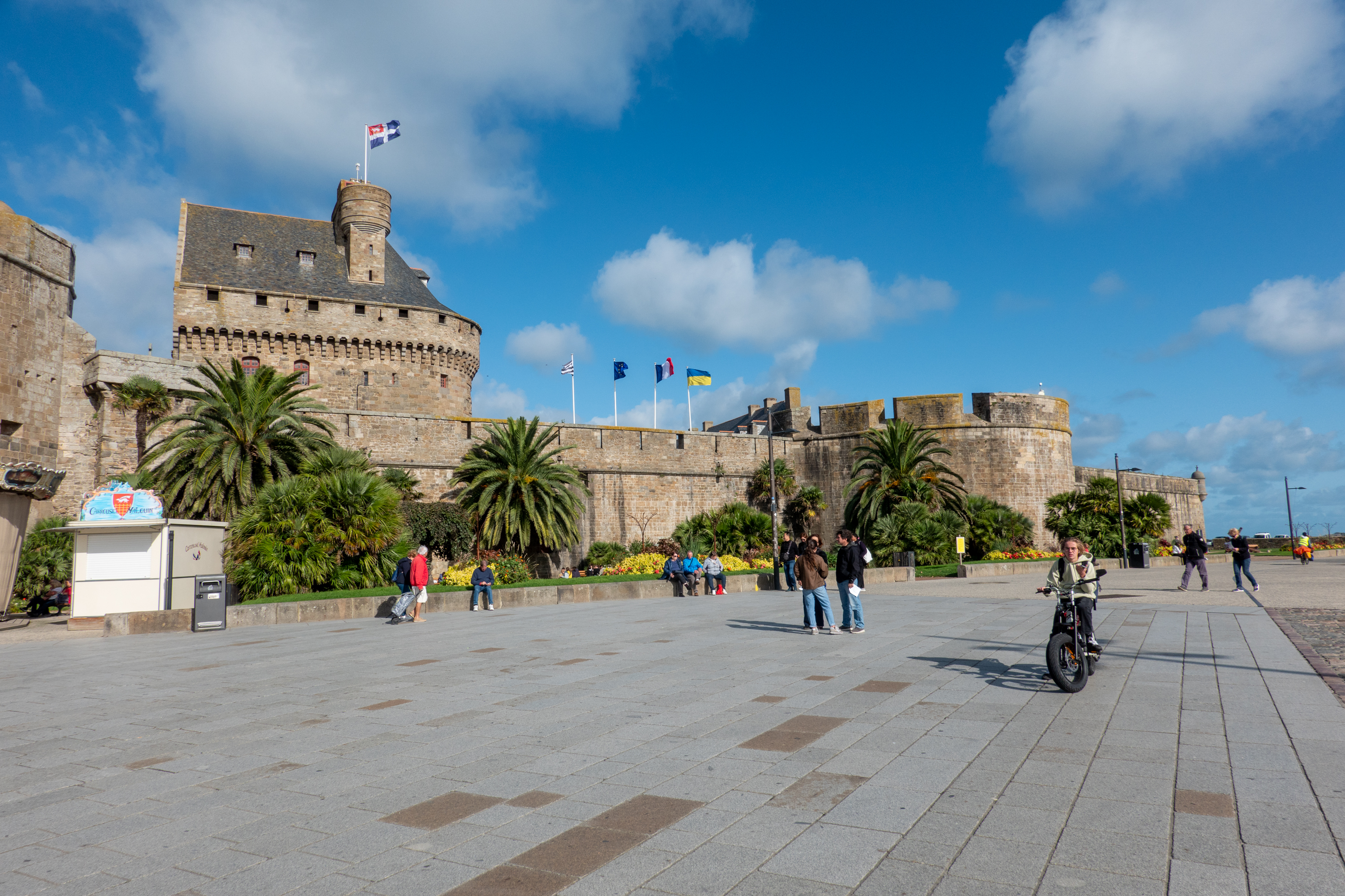
We then headed north to St. Malo and checked into a huge and very busy Aire on a most convenient bus route to the Intra Muros or old walled part of St. Malo. (Never understood why the French use the very Spanish term “Intramuros.”) We took advantage of the bus the next day as it was very windy and bike riding risked to be unpleasant. Plus bus rides are always fun!
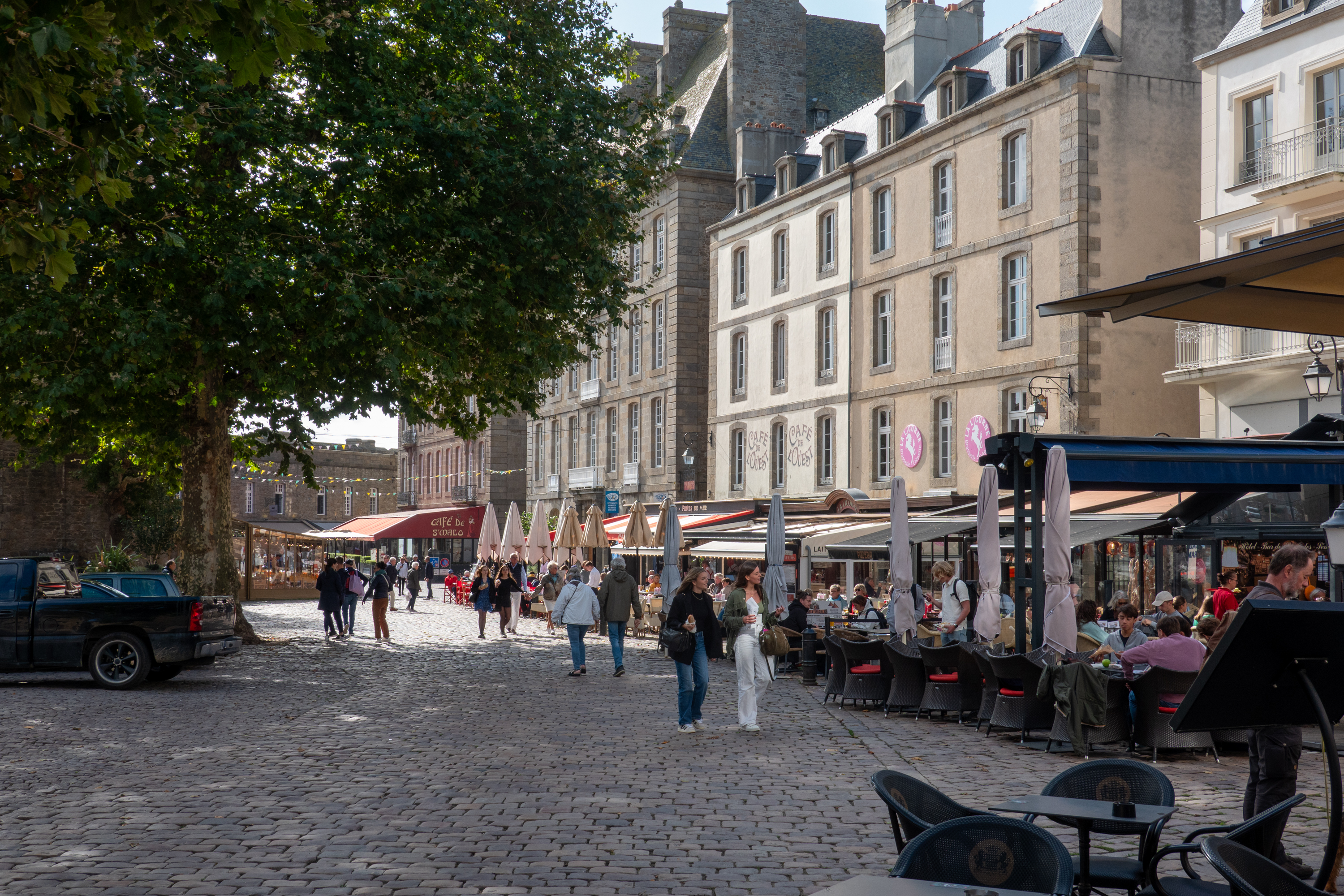
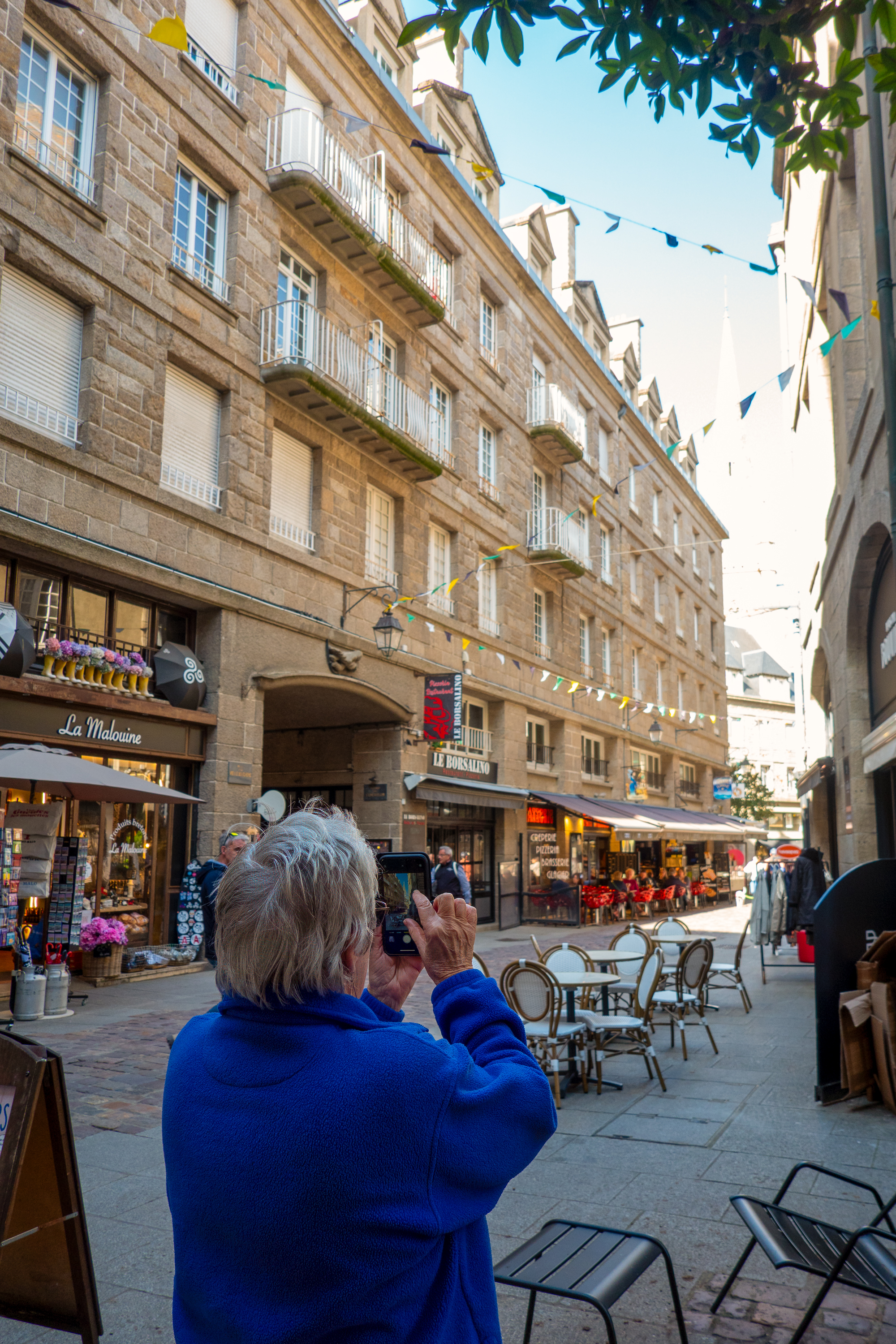
Tourist strip, just warming up.
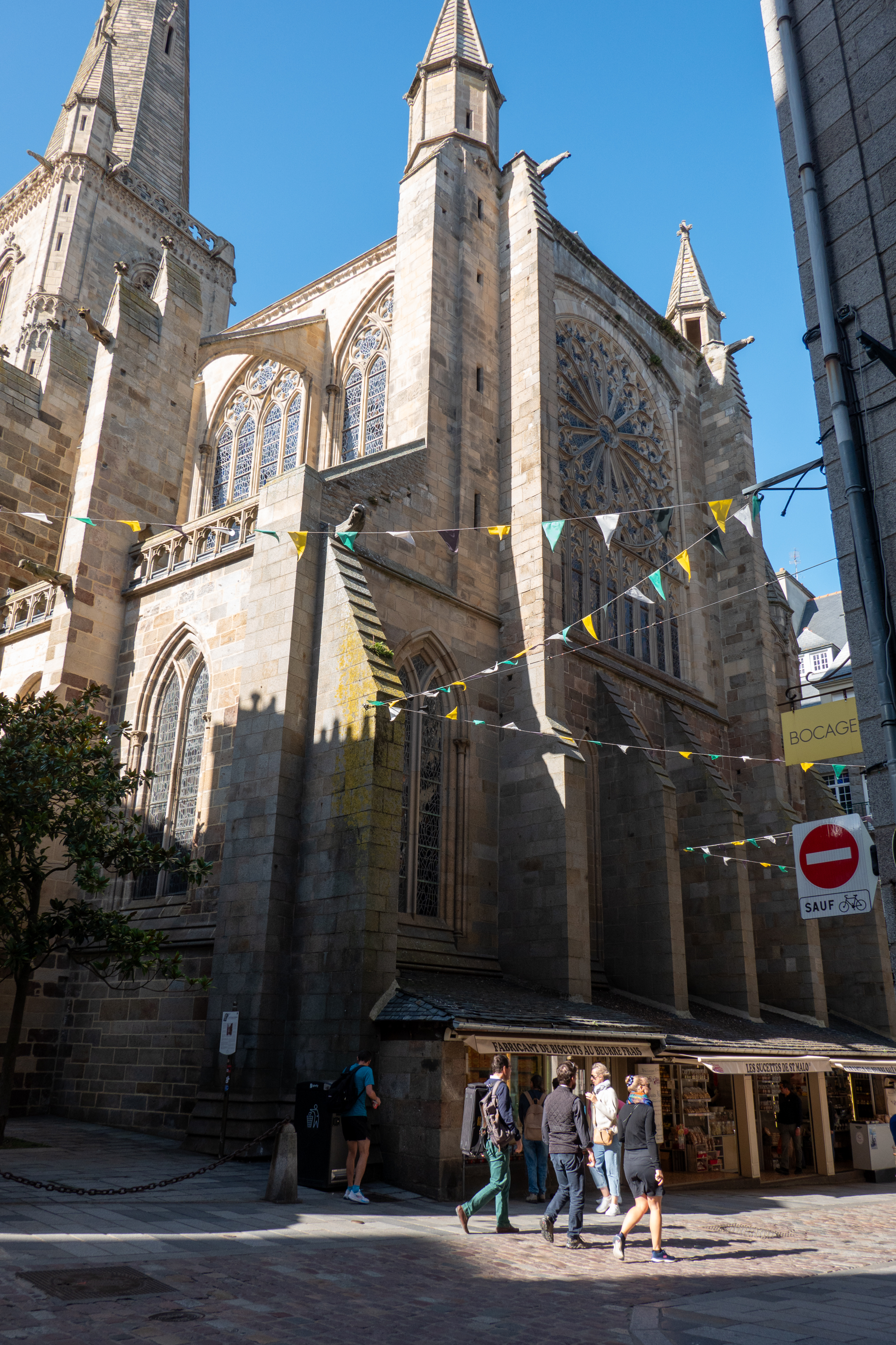
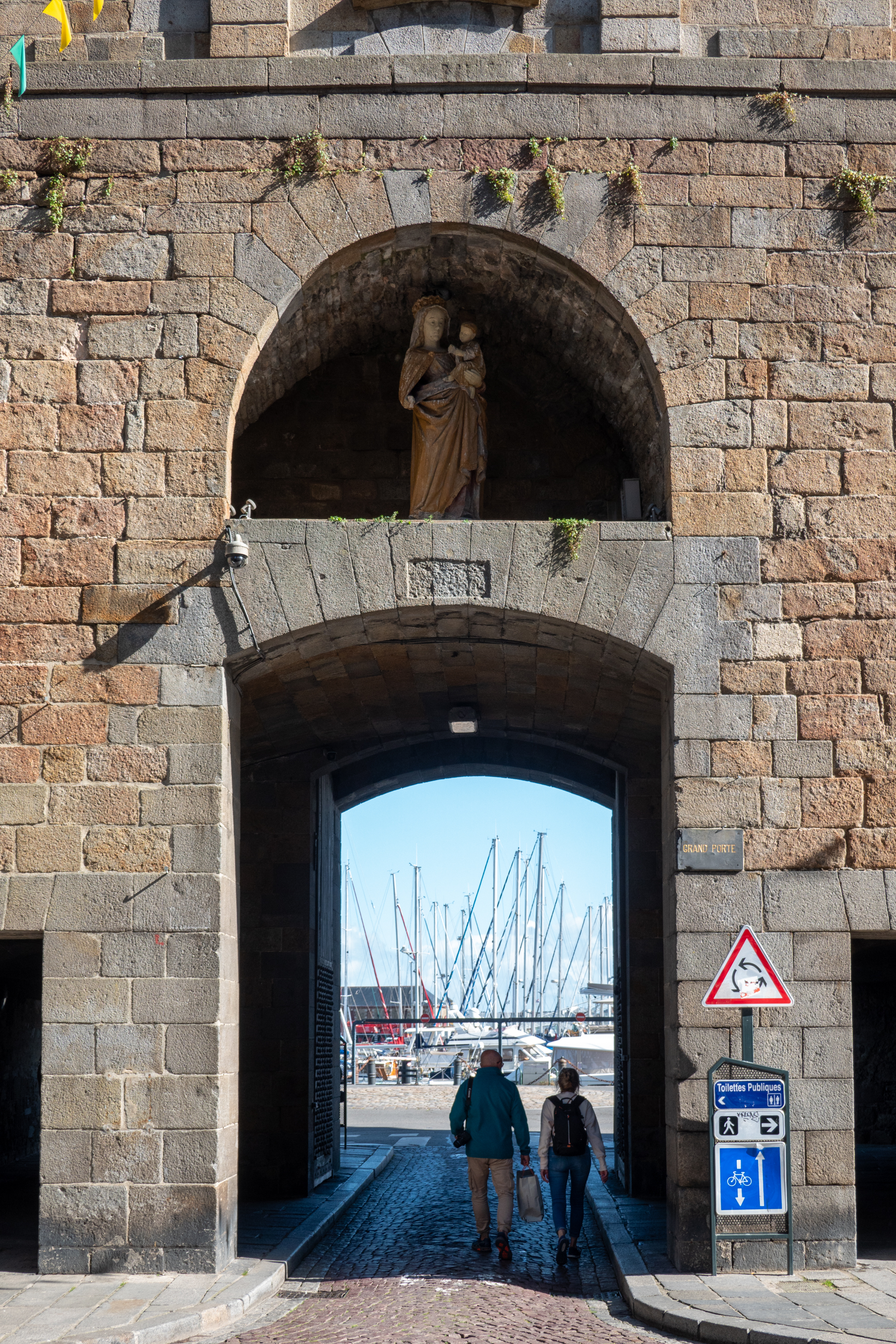
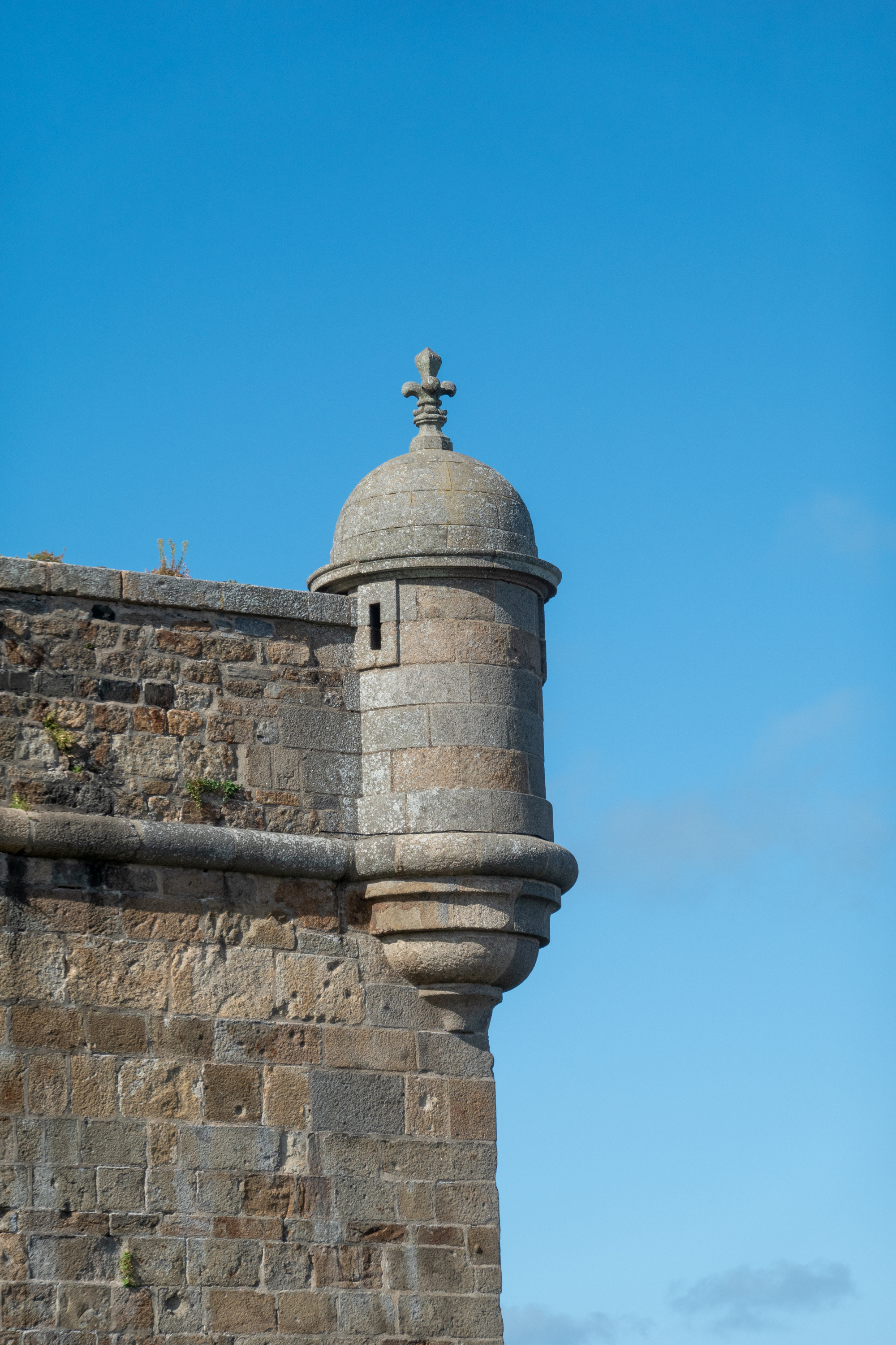
We enjoyed wandering the old cobbled streets walked along the ramparts and admired the forts off the coast, which were closed for the season.
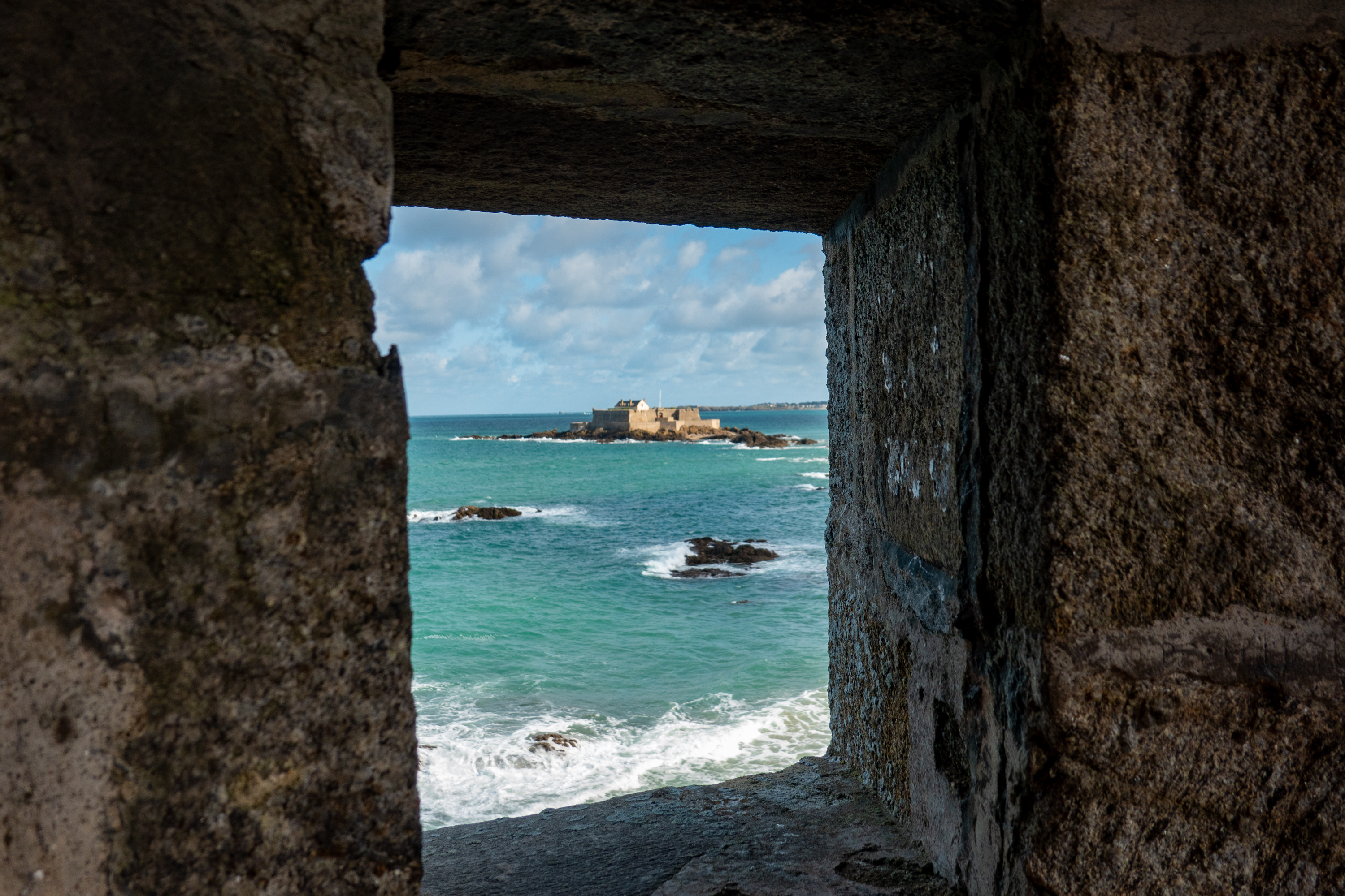
These are the rocks that probably stopped the English fire ship “Vesuvius.”
St. Malo was hotly contested over the years. In 1693, During the war of English Succession, the English under Admiral John Benbow, attacked with fire ships. There was massive damage and, sadly, the most famous casualty was a local cat.
For the history geeks, the round tower in other photos is to the left of the picture, as is the fort on an island, photographed above. The fireship “Vesuvius” grounded, “a pistol shot distance,” before it hit the city wall, probably on the rocks in the photos above.
Following our tour of the windy ramparts, we worked our way down to the cathedral.
After a lovely lunch and a great ice-cream, we found our return bus and went back to the camper.
Our final visit, on the following day and on our way out of town, was to the Aquarium. It was both fun and educational, beginning with small tanks with lots of information on the smaller fish they contained. As we moved along the tanks got bigger and bigger, with resulting bigger fish.
Finally, we saw huge tanks with with sharks, rays and other large fish.
We chose a campsite on the cliffs above Omaha Beach and really felt the history of the location. Felt like we were camping with ghosts. As part of our we-ain’t-at-a-KOA tonight series, Wilderstandnest 73 is right in the campsite. What, you ask, is a Wilderstandnest? Follow the link: http://www.atlantikwall.co.uk/atlantikwall/fn_p_wn73_vierville_sur_mer.php The pictures are good, but sadly, they are very small.
We took the bicycles and rode down into Vierville sur Mer which brought us onto the beach.
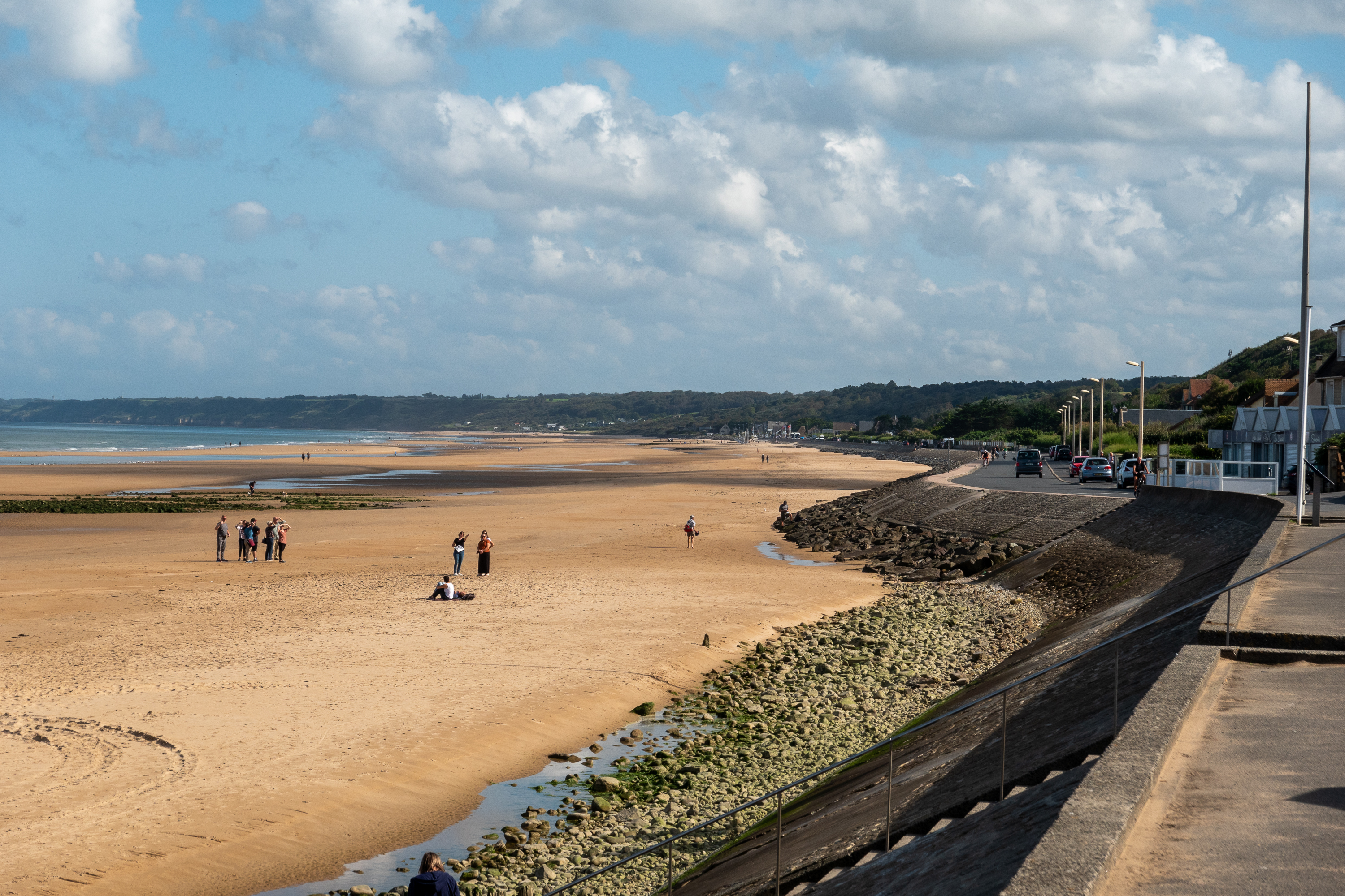
The beach is beautiful on a sunny afternoon. Not at all like the morning of 6 June 1944.
Realizing that the Vierville draw was not actually taken on D-Day, we cycled along the beach to Les Moulins to see if we could guess where the troops finally got off the beach. We actually got it right – fairly logical if you scan the cliffs. Afterwards we turned back towards Viervielle for a coffee and ice-cream at the hotel where we had had coffee and Calvados in 1989! The Calvados, in 1989, was a gift from a gentleman who walked up to us and said, “Thank you. Because of you I don’t speak German.” Later, down on the beach we met a German tourist in tears. We didn’t ask.
It was an emotional moment to see it all again. But perhaps the best thing is that it was simply full of tourists and people on the beach, enjoying a sunny afternoon.
Denise having coffee. Monument to the US 29th Infantry is in the background, built on the top of an Wilderstandnest.Sunrise over Omaha Beach
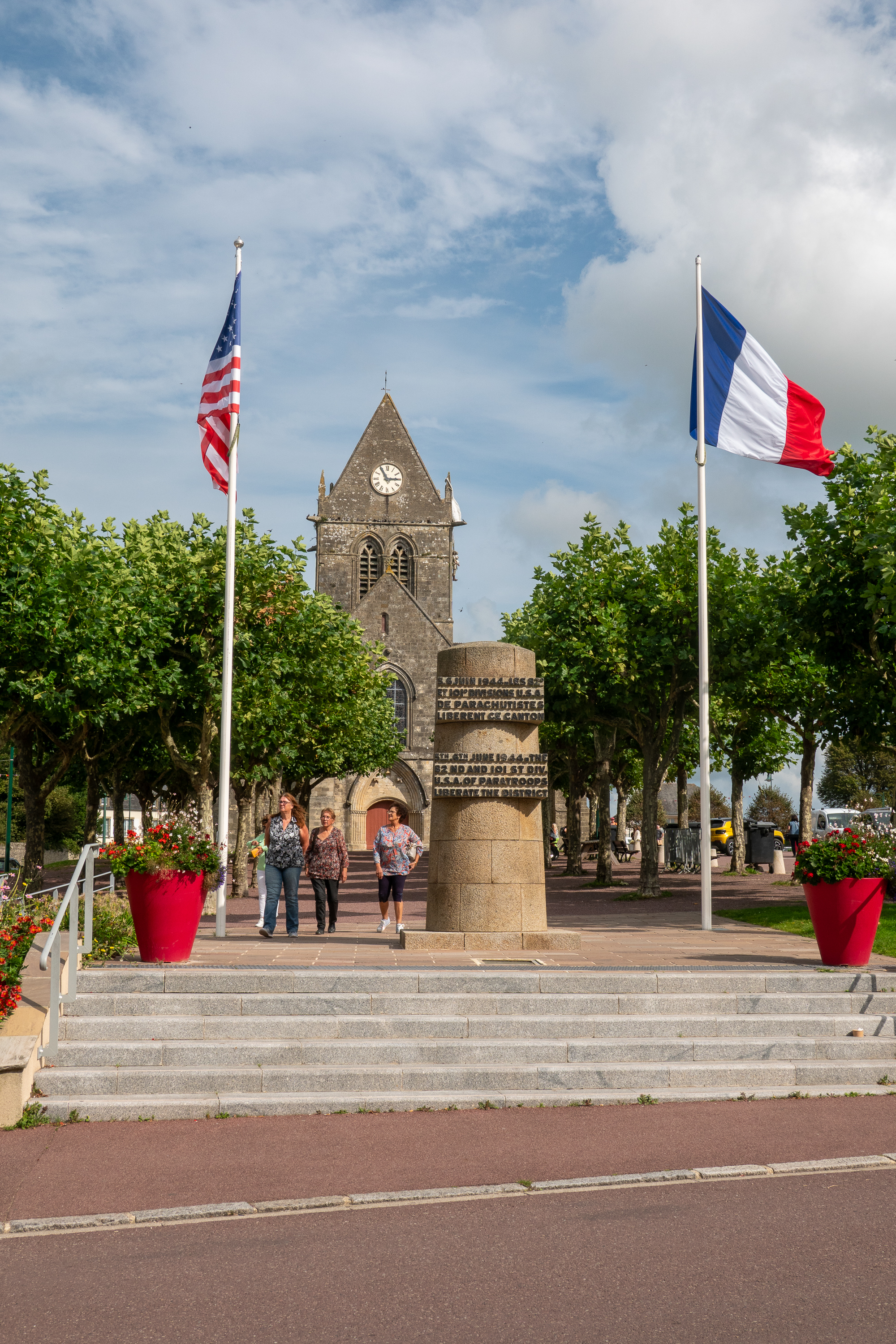
Our next stop was Ste Mere Eglise, which we had also visited in 1989. Famous as the goal of a paratrooper raid where one of the paratroopers, John Steele, got hooked onto the church steeple and hung there for a few hours. He was however rescued and lived to tell the tale and jump again. And he has returned to Saint Mere Eglise.
The bottom of this cross is an old Roman column.
We enjoyed a coffee at a bistro at the side of the church. There are lots of displays of photos from 1944. It was amazing to compare those photos with the pleasant scenes of tourists today.
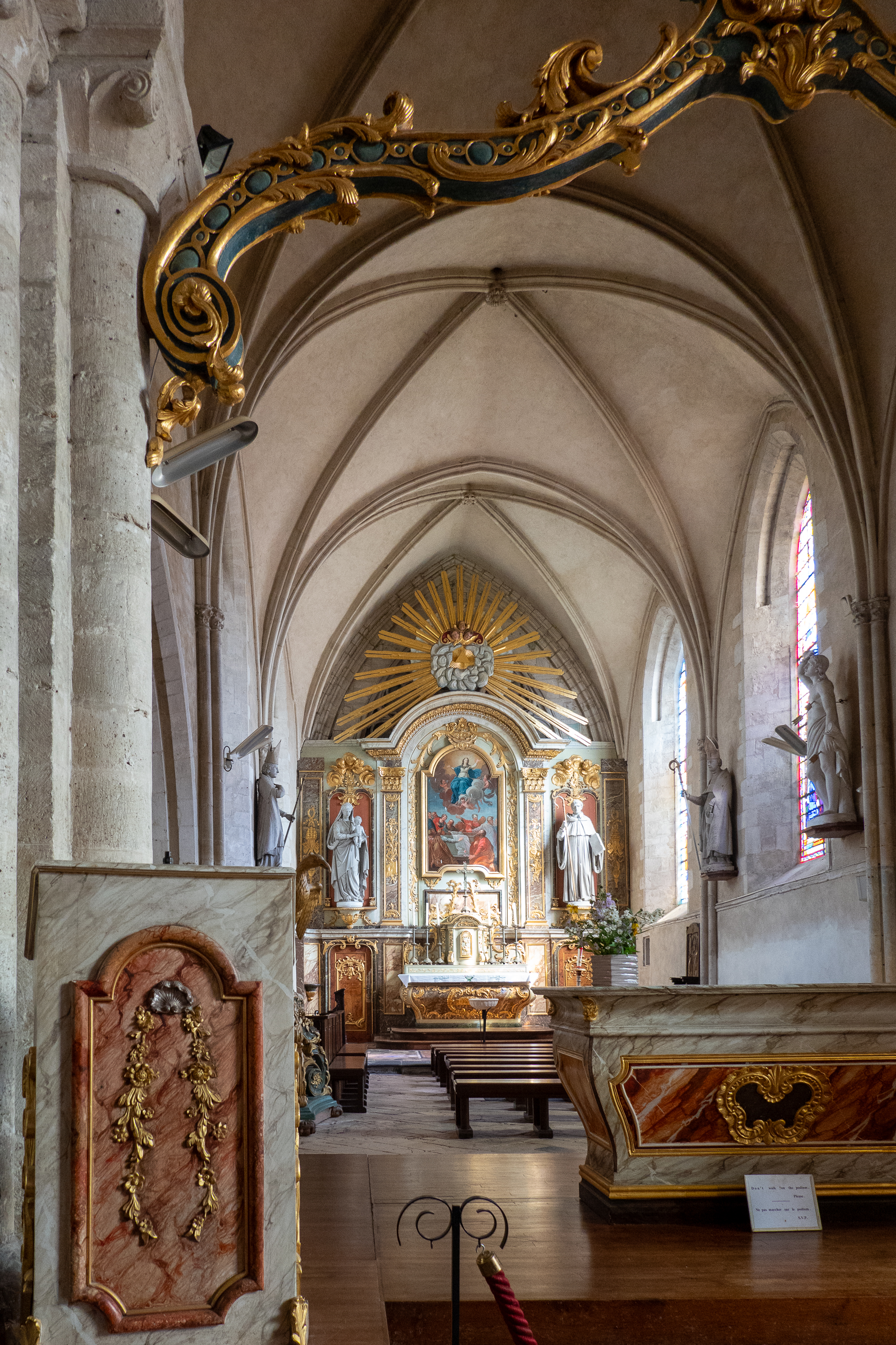
Church interior.
Stained glass window in the Church.
Denise standing on a corner looking at June 1944 photos of the same spot.
We also visited the Airborne Museum, which had been upgraded since our last visit. (https://airborne-museum.org/en/homepage/) It is huge and on the list of must visits. A new “experience” includes a walk in the dark (red light) through a mockup of a C47 with paratroopers inside. At the end of the plane, you step out the door onto a clear glass area with a view of the terrain below in miniature. As guns flash around you and wind hits your face, it gaves a small sense of how it must have been. Quite disconcerting.
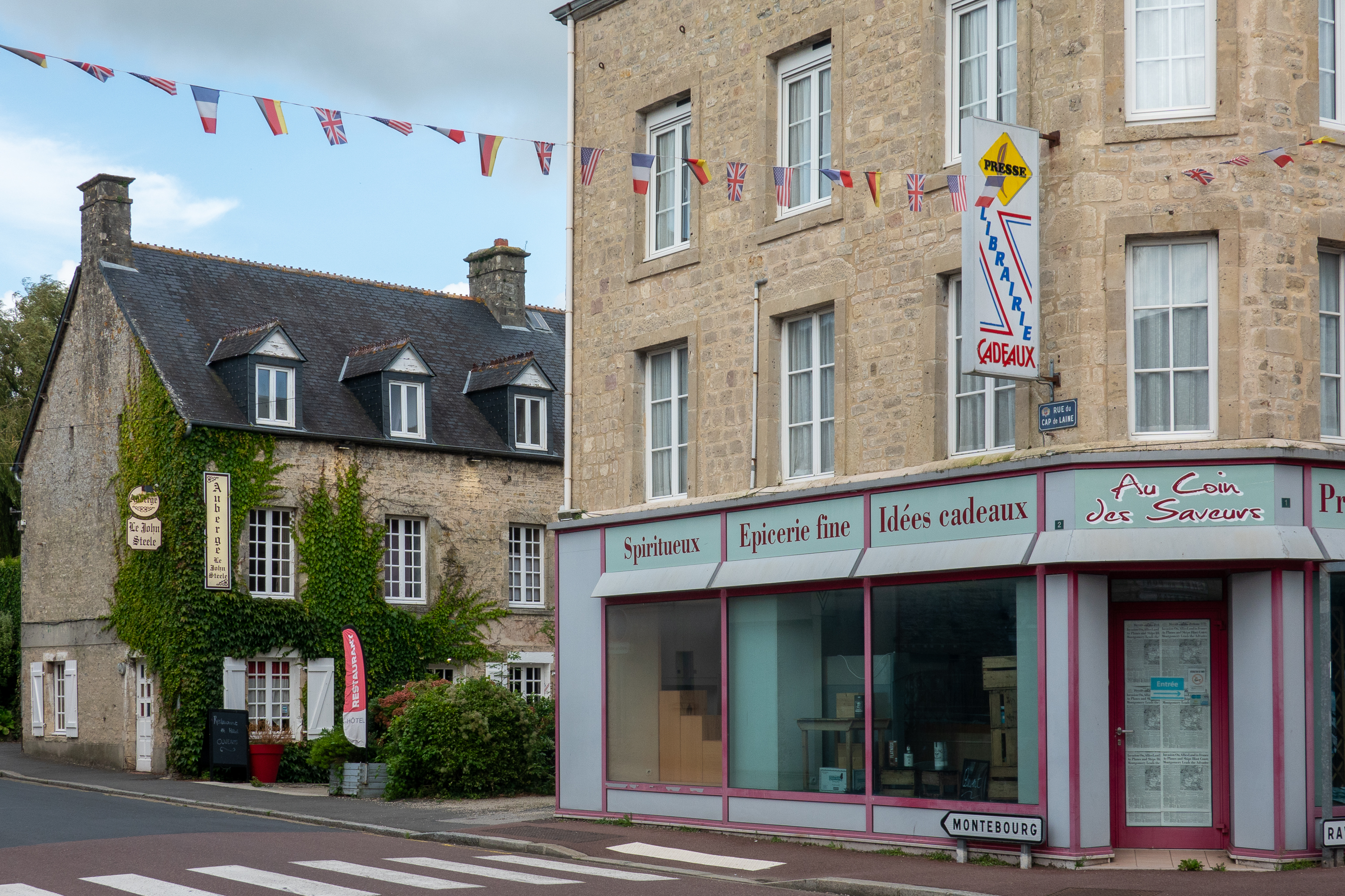
The Auberge John Steele, where, if memory serves, we stayed in 1989.
The church from the main street.
We had not planned to stop at Mont St Michel, which we had visited in 1989, but once we saw it on the skyline, we could not resist. It has become very much a tourist goal and the parking is regulated. Close in camping is impossible without a reservation, which we did not have. But we found a lovely Aire, La Bidonnière in the little village of Ardevon, right nearby. Next morning we cycled back towards the Mont via a cycle path.
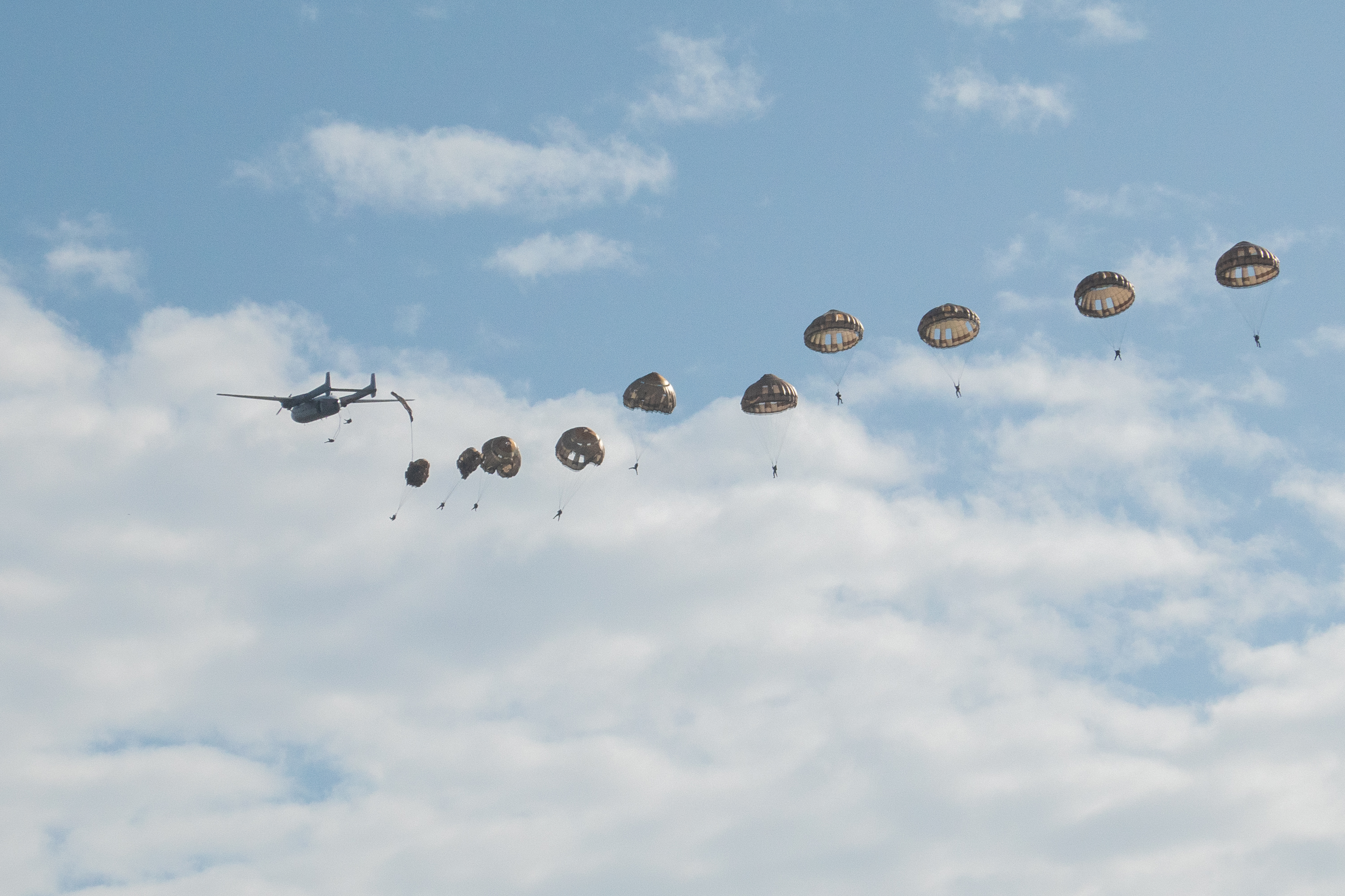
The first sight we saw was parachutists walking back to their buses.
There is no longer an issue with the famous tided, as a huge bridge has been built across the sands and you can easily walk or cycle right to the base of the Mont. Entry to the Mont is on foot only and shuttle busses run from the car parks.
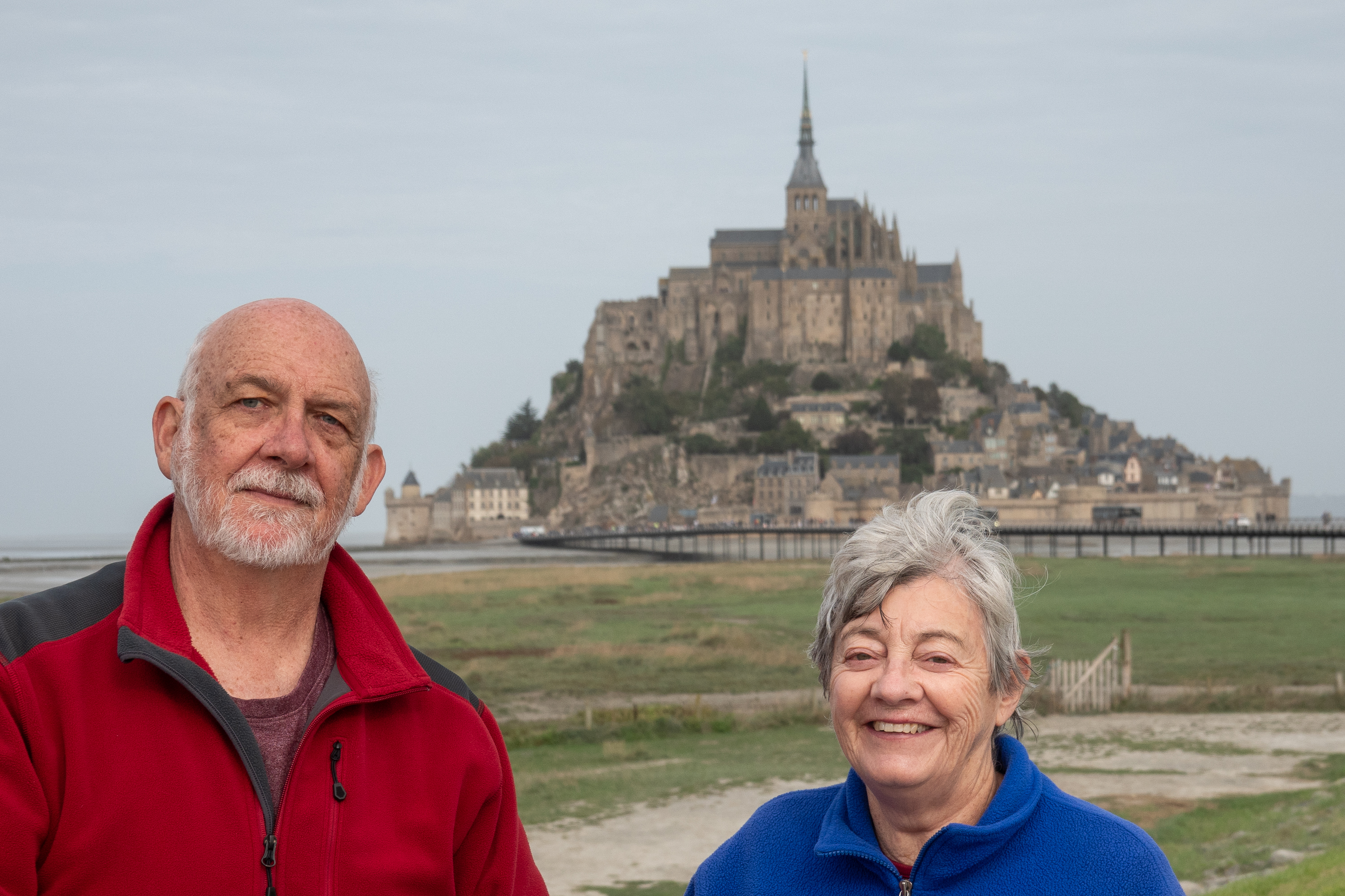
Obligatory tourist shot with the bridge just visible in the background.
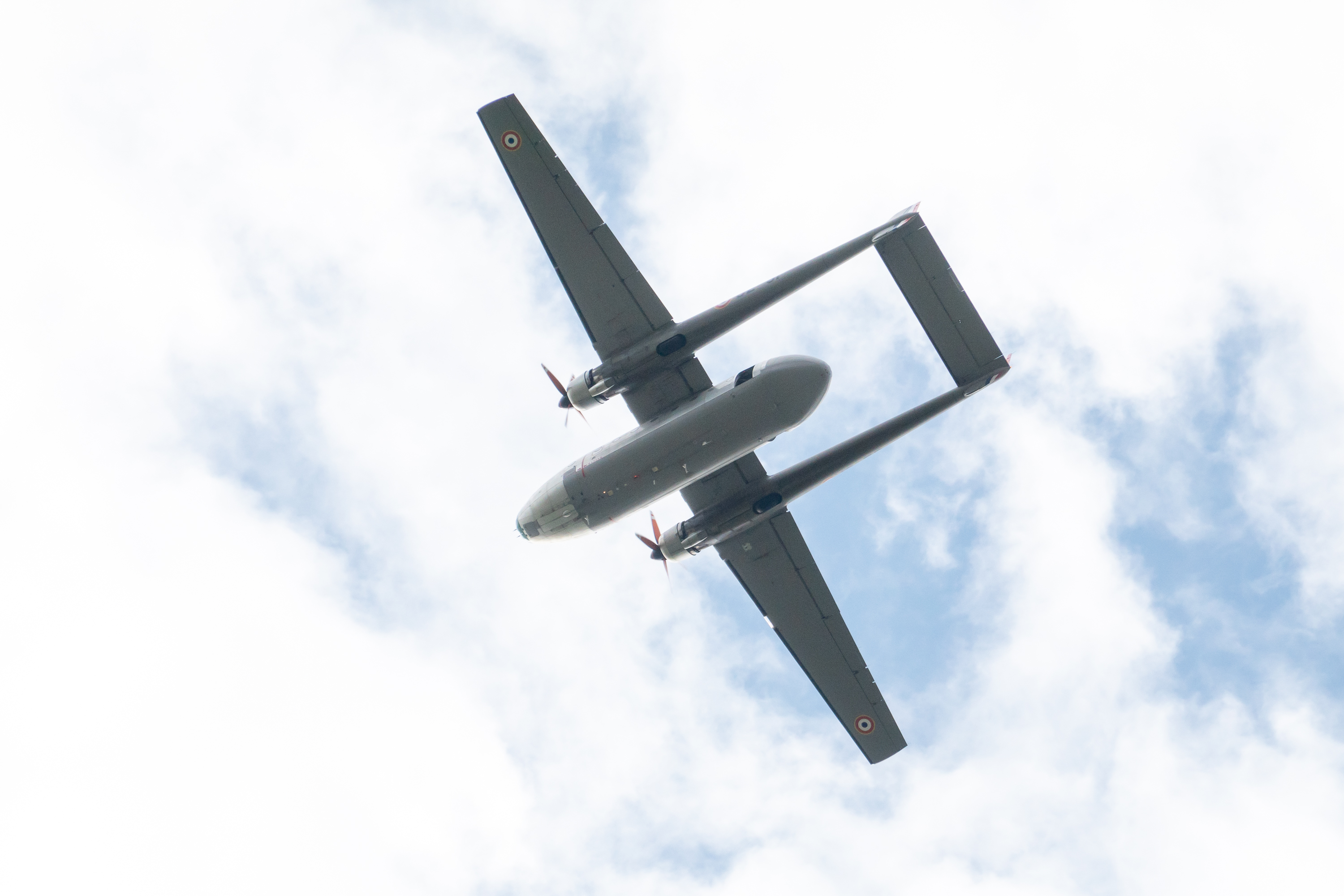
While we were admiring the view, we were overflown (again) by the last flying Noratlas in France, dropping another stick of parachutists.
A great show, but why? Friend of ours cracked the code. It was Saint Michael’s day and Saint Michael is the patron saint of paratroopers.
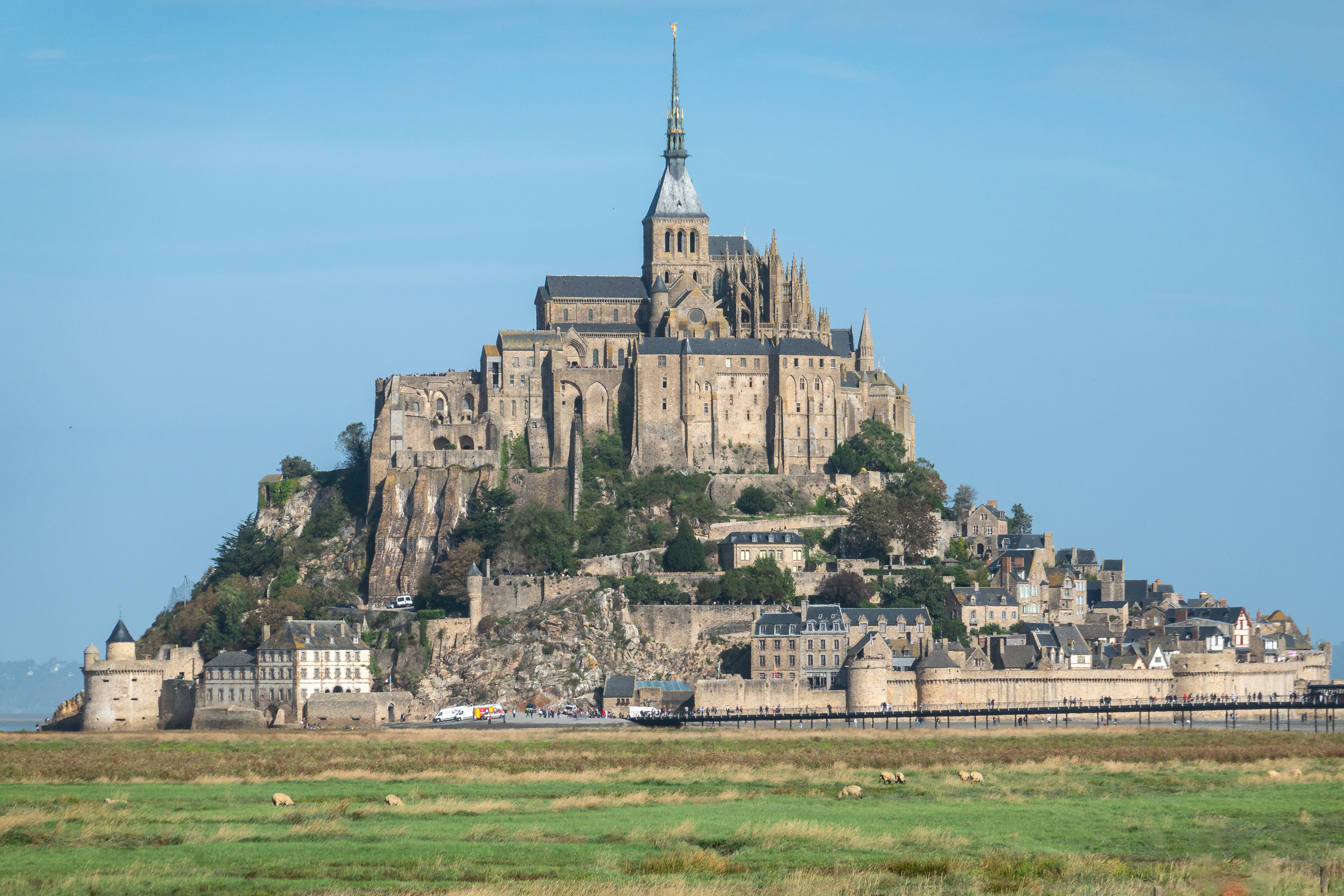
It was a cool cloudy day but we were fortunate to see the Mont in sunlight for a short while.
The beauty shot
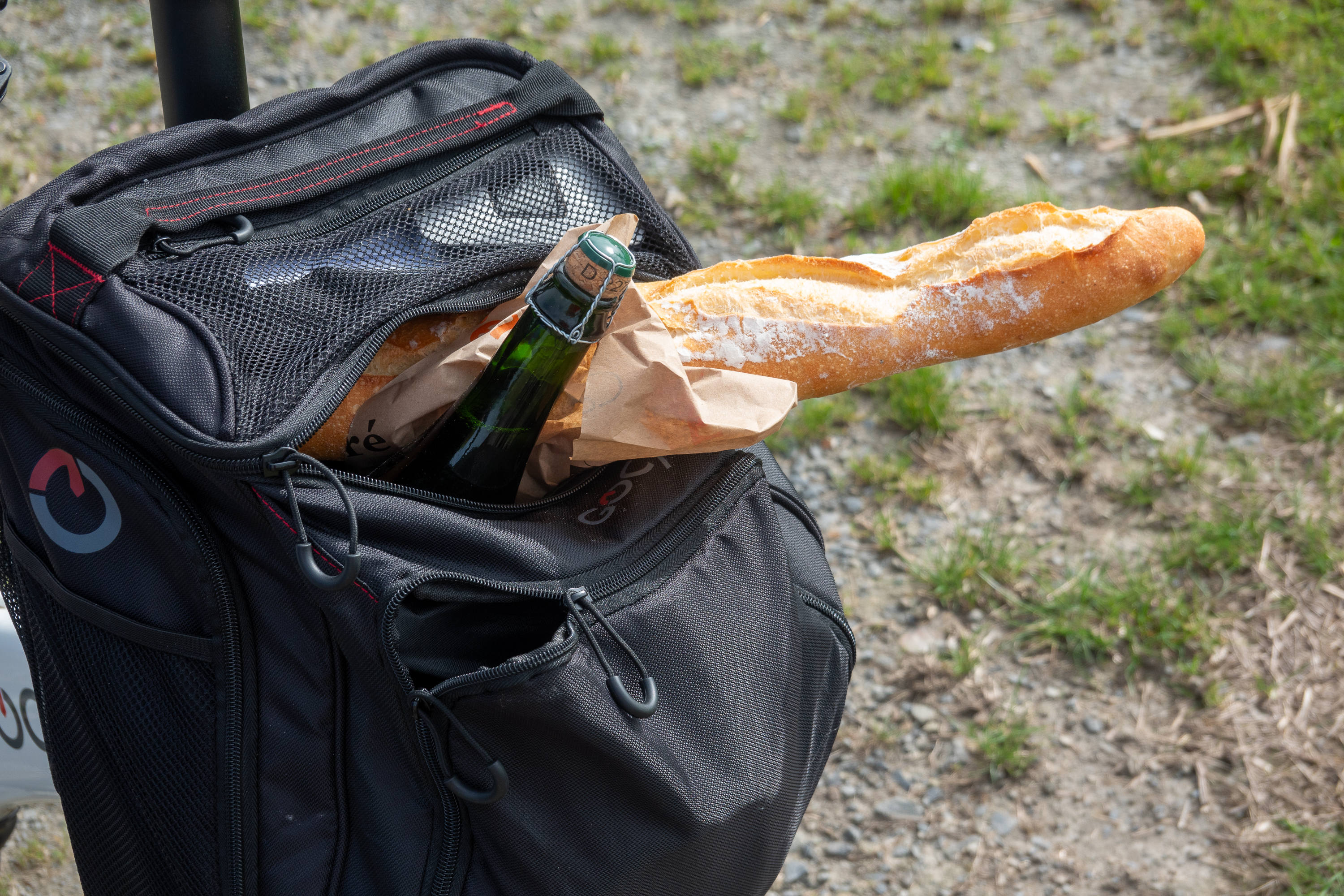
We then went for a traditional galette lunch at a cafe in Beauvoir, bought some bread and cider, and returned to the camper via country lanes and wonderful views of the small stone built villages and fields.
Still life of velo and baguette.The Mont at sunset.
While we were in Mont St. Michel, it became clear that we were having some odd electrical behavior. Fred was concerned that we were not charging our camper battery adequately due to a possible starter battery malfunction. So, we located an auto electrician who also advertised heavy truck repairs and headed for Rennes. The company was most helpful and a charming gentleman tested the batteries and the alternator before pronouncing everything in perfect working order, a relief to both of us. (Mildly amazing, in fact, as the batteries are about five years old. Clearly that side of the system is working well.)
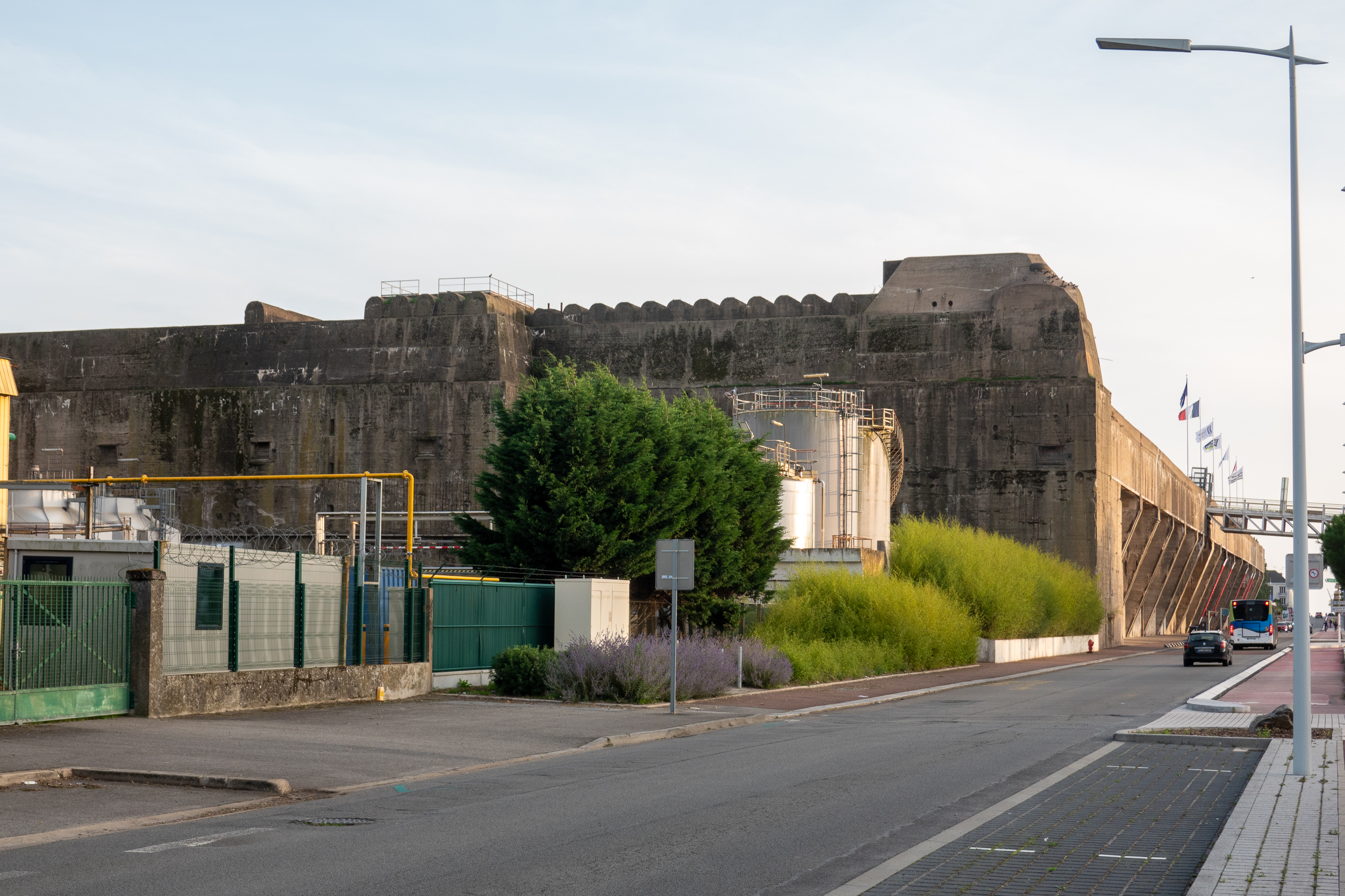
As we were slightly off route, we headed for St. Nazaire were Fred wanted to visit the former German submarine pens. The Battle of the Atlantic has been called the longest battle of the war and winning it kept Great Britain in the war and made possible the Normandy invasion. There are many, many studies, Fred recommends Jonathan Dimbleby’s book as he spends a lot of time on the strategic and diplomatic challenges of the Atlantic battles; the “why” as well as the “what.” Obviously, the major German protagonists were submarines based in France. Early on, the Germans realized that the submarines were at their most vulnerable when in port and thus constructed an amazing series of massive, bomb proof buildings. (https://en.wikipedia.org/wiki/Submarine_pen#:~:text=the%20preliminary%20stage.-,France,metres%20of%20concrete%20were%20used.) Fans of the famous Dam Busters squadron will recall that they, and the US Army Air Force, tried mightily to destroy them. Most are still intact.
We found the pens easily – bit too big to miss – and there is an Aire right beside them. It was very much an industrial area, so the Aire was just an uninspiring parking lot, but it served its purpose for a night.
Doesn’t look that special, until you realize that it is all concrete.The roof was specially designed to absorb bomb blast and covered with anti-aircraft batteries.
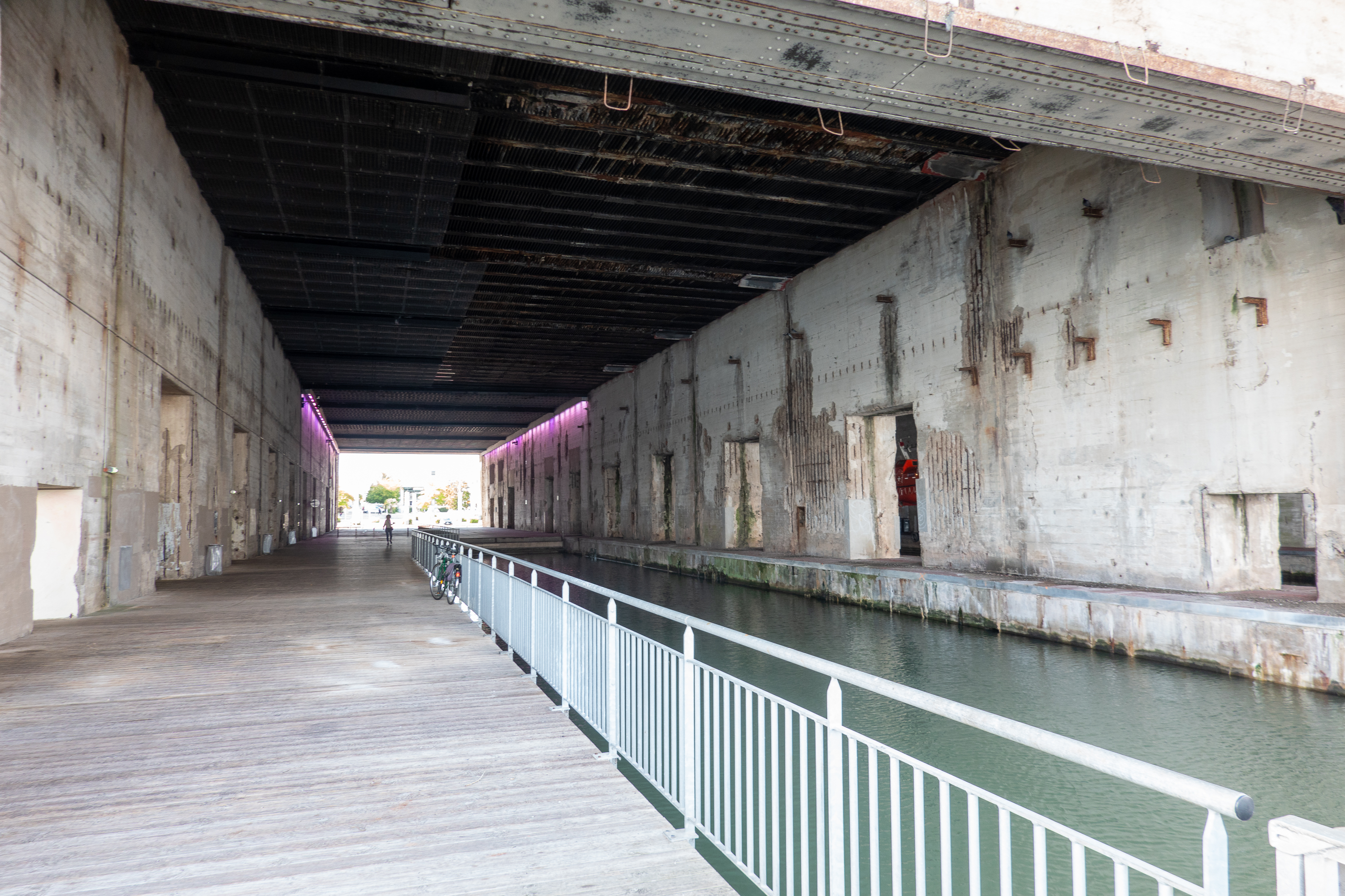
Each pen could hold up to four submarines in the water and at least two on the dry side. There were massive gantries to lift the boars and, of course, workshops, stores, and everything necessary to keep the submarines at sea.
View from the water side.
The highlight of the visit from Fred’s point of view was the amazing construction of the pens.
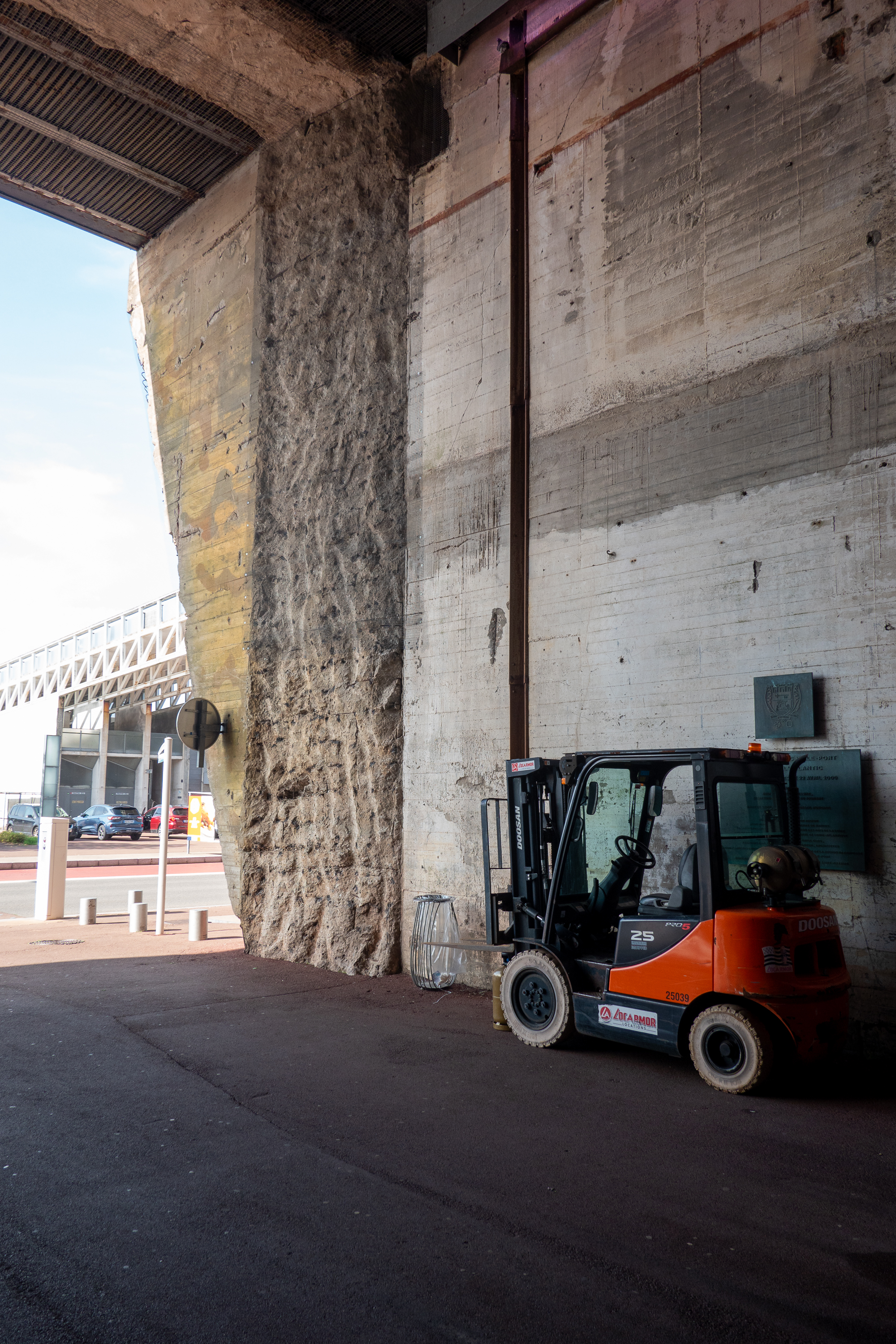
Here you can see where one of the land side walls has been chipped out. That must have taken some time and effort as it is all reinforced concrete.
Denise thoroughly enjoyed the Escal’ Atlantique, a multi-media attraction which explained the role of the St. Nazaire shipyards in the building of such famous ocean liners as the Normandie, the France, and, more recently, the Queen Mary. (https://www.saint-nazaire-tourisme.com/les-visites/les-sites-de-visite/escalatlantic/). Although later eclipsed by LeHavre for the transatlantic crossing, St. Nazaire remained a major port for transit to the US, Asia, Africa, and South America. The display is set up showing interiors of the liners of different eras, with cabin views, deck views, engine views, and certain artifacts from the different liners. You can even send a “day” walking the promenade deck, feeling the wind. The tour ended with a short film followed by a drop in a lifeboat back to the lower level. A cool ending to a most interesting visit. A short walk back to the camper led us past a Carrefour so we were able to make a purchase or two!
In September we flew back into Heathrow. Most flights from the US to Europe depart between five and nine P.M. Most people are not very sleepy at this time and thus they stay awake for much of the flight. By the time you are finally asleep you are landing at between midnight and three A.M. your time, just when you want to sleep. But now you are on the ground in Europe at dawn, local time. Is it any wonder Americans always whine about jet lag? We took the late flight at about 10:30 P.M. This makes it much easier to go to sleep on the plane and a (tiny) bit easier to wake up as it is closer to 6 A.M., your time, when you land The fact that it is around 10 A.M. local time means you have less time to stay awake – a bonus. Jet lag is always tough, especially as you get older, but we find that taking a later flight helps.
We landed on time and stepped into an empty immigration hall. We quickly found our taxi driver and were off to Reading Station. We had time to catch the next direct train to Yatton and were congratulating ourselves on a successful day, until we exited Yatton station to find no taxis. A gentleman standing there told us that he had booked a taxi, but that someone else had taken it! Fred went into the Station pub to ask for advice and called their taxi list to no avail until the very last service, primarily a Bristol Airport taxi service, agreed to fetch us! A most charming driver dropped us at the Congresbury Arms Hotel (https://congresburyarms.co.uk), which we had used on our departure. The next morning, Matt, the owner of the storage lot (https://www.motorhomematt.co.uk/about/matt-sims/), joined us for coffee and then drove us to the 917. Cannot say enough good things about Matt and his company: (https://www.thatleisureshop.com).
The 917 had developed a fuel leak and after all of the successful work that Atkinson Vos had done, we decided that it would be easier to return to them than to try to find another garage. And so we set off for the wilds of Yorkshire for a much, much easier trip. It always helps to have tightened steering and to know where you are going!
Our first stop was Settle, Yorkshire, where we felt right at home as we stopped at the supermarket and returned to Jack the Farmer’s field for the night. (https://www.campingandcaravanningclub.co.uk/campsites/uk/north-yorkshire/settle/lodgebarn/) Then it was off to Atkinson Vos, where we were greeted as old friends. The leak was quickly found and fixed, some new projects done, and the entire front end reviewed. In the process they discovered, and re-welded, a broken heat shield. Another most useful visit.
Back at Jack’s we had a night of rain which showed us that we had developed a leak in the front window. Probably because the truck had been washed for us. After a quick visit to Denise’s cousin in Wetherby, Fred dealt with the leak at our next stop, at another favorite campsite, near Mansfield (https://www.campingandcaravanningclub.co.uk/campsites/uk/nottinghamshire/newark/lurcherfarmcottage/). Old home week.
We then continued south to Kingsfold to an amazing site we had discovered, only about a mile from Denise’s sister’s house. A “certificated site” on the grounds of a lovely country house (with sheep) and with charming owners. (https://theoakswestsussex.co.uk) Other than needing to telephone to be let in or out of the gate, it was a perfectly idyllic spot.
After a great visit to Denise’s sister (and a mega thunderstorm which proved that the leak needed additional attention) we headed for the Channel Tunnel. The Channel Tunnel passage on Le Shuttle proved to be exceedingly easy and fast.
We spent the night before our passage doing laundry in a campground near Folkestone and had a mere 20 minutes to drive to the check in.
We had watched several videos shot by travelers taking Le Shuttle, but it was still with great trepidation that we typed in our number at the first gate. Suddenly, up popped a “Hello Mr. Cook!” message. We printed our boarding pass/hang tag and proceeded to the departure lounge, OK, the departure parking lot. The whole process is analogous to an airport, only you drive and it is spread over literally miles, each step/road getting you closer. Find the terminal on a map/satellite view program – the facility is simply huge. But this makes it easy for them to sort tall/wide/regular vehicles as well as commercial trucks. And, of course, all of these vehicle trains share the tunnel with the Eurostar passenger service. In September there were hourly departures and there are even more in the high season.
At the departure holding area we went inside for a coffee and a bottle of Bailey’s (show your boarding pass, please) for our faux Irish coffees at night and then we returned to the truck to await our call. We enjoyed watching the dogs bounding into the animal control area.
When the big board called our group (again, just like an airport), we followed the signs marked “France” and drove to UK emigration, and then to firearms control where we were shunted off to the side. We thought we had been selected for a customs check, but it turned out that, despite our ticket being marked “No LPG” we had been sent to the gas shut off check. I guess it is automatic – if it is a motor home, it must have gas. The charming inspector asked if we knew how to turn off our gas and we replied that we didn’t have any. He apologized at our having been sent over, but could not send us on as we were blocked by a motor home that could not find their gas fitting. So we chatted for a moment until things were sorted out and then drove on to French immigration. Thereafter we joined the queue on the bridge and worked our way down the ramp and onto the train. Inside the train we drove through car after car until we were stopped behind another vehicle. We dutifully set the parking brake, put the truck in gear, and rolled a window half way down. Within minutes we were moving and Fred was snoozing.
Once across, we headed to the Cité de Europe and specifically the enormous Carrefour hypermarket. We stocked up on meat and vegetables barely avoiding being blown away as we loaded the truck. The winds at that point were at least 50mph, it was most unpleasant. We then headed off to our first night in France, at a camping aire in Eaucourt. It was a charming spot, run by the Mairie (mayor’s office) and we enjoyed the experience.
A representative of the Mairie came by in the evening and collected our €10. We did not need water or electricity and there was no charge to dump grey water. The ratio of one motorhome service point to four places is amazing. And great chats with our neighbors.
We then headed to Les Andelys, so that we could visit the Chateau Gaillard, built by Richard the Lionheart. How often can you look up from a campground and see a sight like this?
We climbed up to the castle, the same afternoon, as the forecast was for rain overnight and most of the following day. It was a most interesting visit, which we followed up with coffee and cake by the River Seine.
Sometimes you REALLY need a loaf of bread. (Fred went to the bakery next door.)
View from the waterfront.You can’t have a castle without nifty underground rooms.
One reason for the castle, a bend in the river Seine. The Inner Ward with its distinctive rounded wall. (The curved surfaces made it more resistant to stones from trebuchets.)
This is a simply stunning view of the castle, taken from the hill above. (Photo by Roman Geber) As Denise has a badly sprained ankle, we could not attempt the climb. (And he had better weather!) Click on this photo; it is simply huge.
To the left is the upper courtyard or bastion. To the right, inner ward with the keep towering above. The walls of the lower courtyard are all gone.
As impressive as the ruins are, they are, after all ruins. This digital recreation helps you understand jus what a massive structure this was: (http://www.virtuhall.com/chateau-gaillard-EN.html) Finally, if you want to know why all of this was done, and how it ended, read here: (https://en.wikipedia.org/wiki/Château_Gaillard) Richard may have been a cruel, murderous villain, but he knew how to build a castle! Sadly, for the Anglo-Norman dynasty, his brother, Jean sans Terre (John Lackland – the King John of Robin Hood and Magna Carta) failed the first rule of castle warfare – you ALWAYS move to lift the siege.
The museum attempts a comprehensive review of the events leading up to D-Day, starting in 1918. As a result, it is much more a broad historical overview than a “guns and tanks” exhibit. The focus is more “why” than “what” and the focus is on the French experience, from occupation to liberation. All in all, a most thoughtful place to visit – build right on top of a former German headquarters. As a side note, Caen was so badly damaged during the war that the current city is almost completely modern. There was a terrible price paid for liberation. In the case of Caen, most of it was paid by the Brits and Canadians.
In Bayeux we camped in an aire in the parking lot of the Battle of Normandy Museum. (https://www.bayeuxmuseum.com/en/memorial-museum-battle-of-normandy/) This is more of a classic guns and tanks museum, but it adds the dimension of covering the whole month long battle of Normandy.
Cool to camp with tanks in the back yard.
When is a tank not a tank? When it is a tank destroyer. This beast was fitted with a gun so heavy that they had to mount a literal counter weight at the back of the turret.
It is easy to forget that D-Day was merely the beginning and most of the hardest and most costly fighting came later in the battles of the hedgerows and the armor slaughter around Caen. (https://en.wikipedia.org/wiki/Operation_Overlord) Bayeux was spared the fate of Caen and Saint-Lo and, as a result is a much more picturesque place to visit.
We started our visit with a stop at a creperie for lunch.
Delightful terrace overlooking the river which was being torn up to reduce flooding. Mme. la Duck let us know that she was not pleased. We, on the other hand, had a great meal.
There is so much going on in this photo; steps down to the river, building over the river, and beautiful flowers.
Beautiful half timbered building.
Denise crashes a wedding.
Street view
The real focus of our visit to Bayeux was to revisit the famous tapestry. (Which is not, in fact, a tapestry.) For reasons that escape us, the Viking ship that we took over had huge images from the Bayeux Tapestry on every stairway landing and we spent the whole crossing practicing our latin reading the captions. There is so much to say about this document from its role as propaganda to its window into the dress and customs of a bygone era. Simply put, you must go see it to appreciate it. In the interim, this is is amazing. How is your anglo, as opposed to franco, latin? (https://www.bayeuxmuseum.com/en/the-bayeux-tapestry/discover-the-bayeux-tapestry/explore-online/)
At Longues-sur-mere, right near Bayeux there is a well preserved German artillery emplacement. Four guns, a command bunker and related ammunition bunkers, machine gun nests and mortar pits. The site is well preserved and well worth a visit. (https://en.wikipedia.org/wiki/Longues-sur-Mer_battery)
Denise at the battery.
View from the top of a bunker. Omaha beach is to the left.Breech
View from the command bunker, right on the cliff edge.Ammunition Bunker
Mortar Pit
Looking east towards Arromanches. Some of the ships sunk to form an enormous artificial harbor are still there.
Only one of the bunkers shows obvious shell damage.
With the 917 spruced up, we considered spending time on the North Wales coast with a base in Anglesey. We picked two sites that looked good for biking, but neither had space. So we looked at Dorset as we were looking for proximity to the Bristol area where we would be storing the 917. We found a small site that would take us for six nights. On the way down we stopped at a pub restaurant called The Oak in Upton Snodsbury, courtesy of BritStops. We confess that we had not only afternoon tea but a lovely dinner. (https://www.theoakuptonsnodsbury.co.uk/ ) Well worth a return visit and yes, there really is a place called Upton Snodsbury.
The campground in Hazelbury Brian (another real name), REALLY is in the country, and we drove endless small country roads to reach it! At least it seemed that way! It turned out to be a lovely site with beautiful views of a large pond, sheep in a distant field (of course), and excellent facilities, including a much sought after washing machine and dryer. This was a big plus as we were preparing the camper for storage and we needed to store clean clothes and sheets.
As is often the case, we had a list of places we wanted to visit in Dorset; Corfe Castle, the steam railway, Durdle Door, and the Tank Museum. With that list, we SHOULD have realized that all of the major roads in Dorset would run east/west and we should therefore pick a campsite well in the south. Instead, we had chosen a small site well in the north of the county. One result was long “exciting” drives down single track roads which seemed to take hours to cover very short distances.
We made the Tank Museum, in Bovington, our first destination. The Tank Museum is located on the edge of the Royal Tank Regiment HQ and it was most interesting to follow a tank down the road, especially one with “L” plate for learner attached to the rear! Fred had always wanted to visit this museum and it proved quite fascinating. The Tank Museum is best known to (normal) people, that is, people who are not armor nuts, for its support of Brad Pitt’s movie “Fury.” (https://en.wikipedia.org/wiki/Fury_(2014_film) The movie may or may not break new ground in the war movie genre, but it is distinguished by the appearance of the only German “Tiger” tank that can still be driven. Thus, unlike most war movies, the tanks in the movie were near period perfect, as opposed to the modern tanks which are typically used in movies and look “wrong” to hard core history fans.
We did not try to take a lot of photos inside as you really have to visit for yourself. The displays are excellent and provide some fascinating background on the very specific problems that tanks were invented to solve (trenches, barbed wire, machine guns), the challenges (why not use a wheeled vehicle, how do you keep the tracks from coming off?), and the solutions that were found and how they evolved. The museum itself is very high quality, with superb exhibits, including cut aways, and talking mannequins, complete with class and regionally correct accents! A surprising stand out was the tour of the World War I (The Great War) trenches, where you walk from the British to the German side. It was a most evocative recreation of the trenches and experiences of the soldiers. Unfortunately the more modern Cold War Displays were closed for a private event. A definite must see. (https://tankmuseum.org/) YouTube Channel: https://www.youtube.com/@thetankmuseum/videos
On the way home, Denise wanted to see the Durdle Door, a rock formation on the coast. There was unfortunately a mass of cars and campers parked along the narrow road and we missed the sign for the car park. To be honest with the number of people there, it was probably full anyway. So we gave that up and will visit in the future.
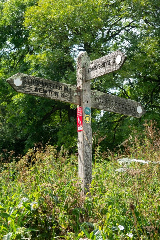
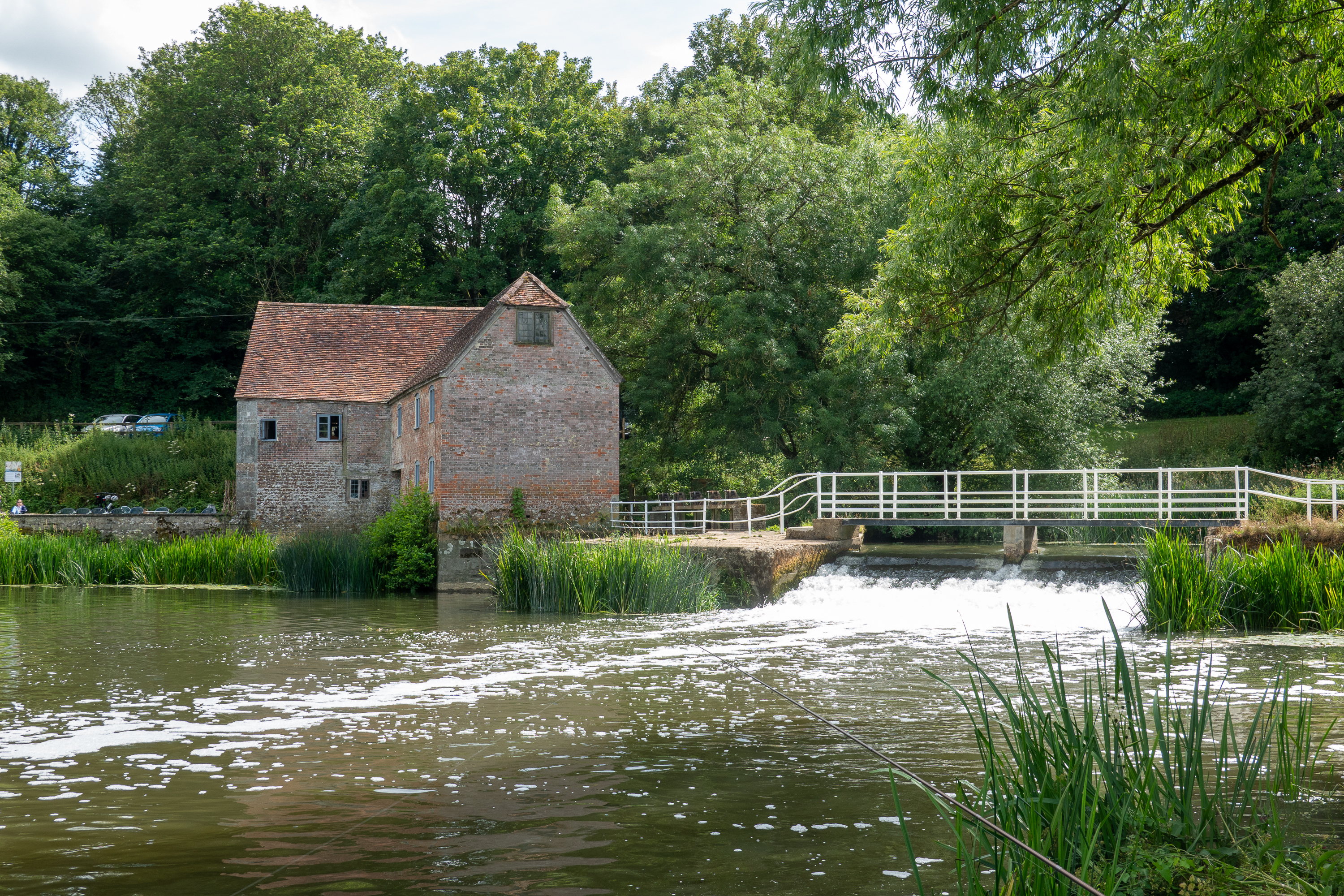
But the other result of choosing our campsite was the serendipitous discovery of an ancient mill, a rare medieval “packhorse bridge,” and a wonderful old church. While doing the laundry, we examined the Ordinance Survey map on the wall. Once we located ourselves on the map, our attention was drawn to the word “bridge” in gothic print. We discovered that the gothic print meant a medieval site and we started digging on the internet. We found a wonderful web post by “Tess of the Vale” and resolved to explore. (https://tessofthevale.com/2021/04/30/fifehead-neville/) Some other folks at the campsite talked about the old mill at Sturminster Newton so we fired up the bikes and we were off!
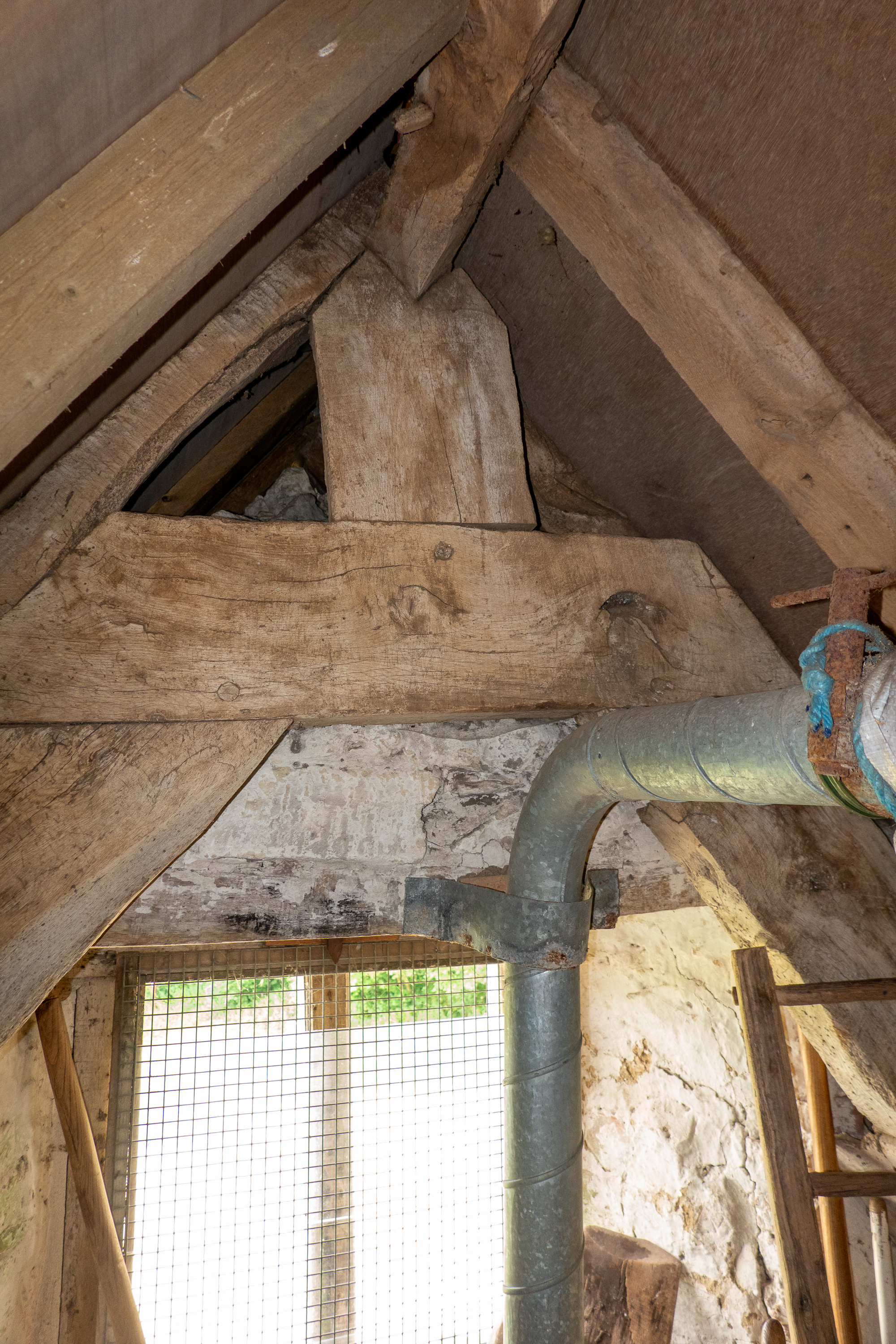
Where is the water wheel? It was removed for a turbine.
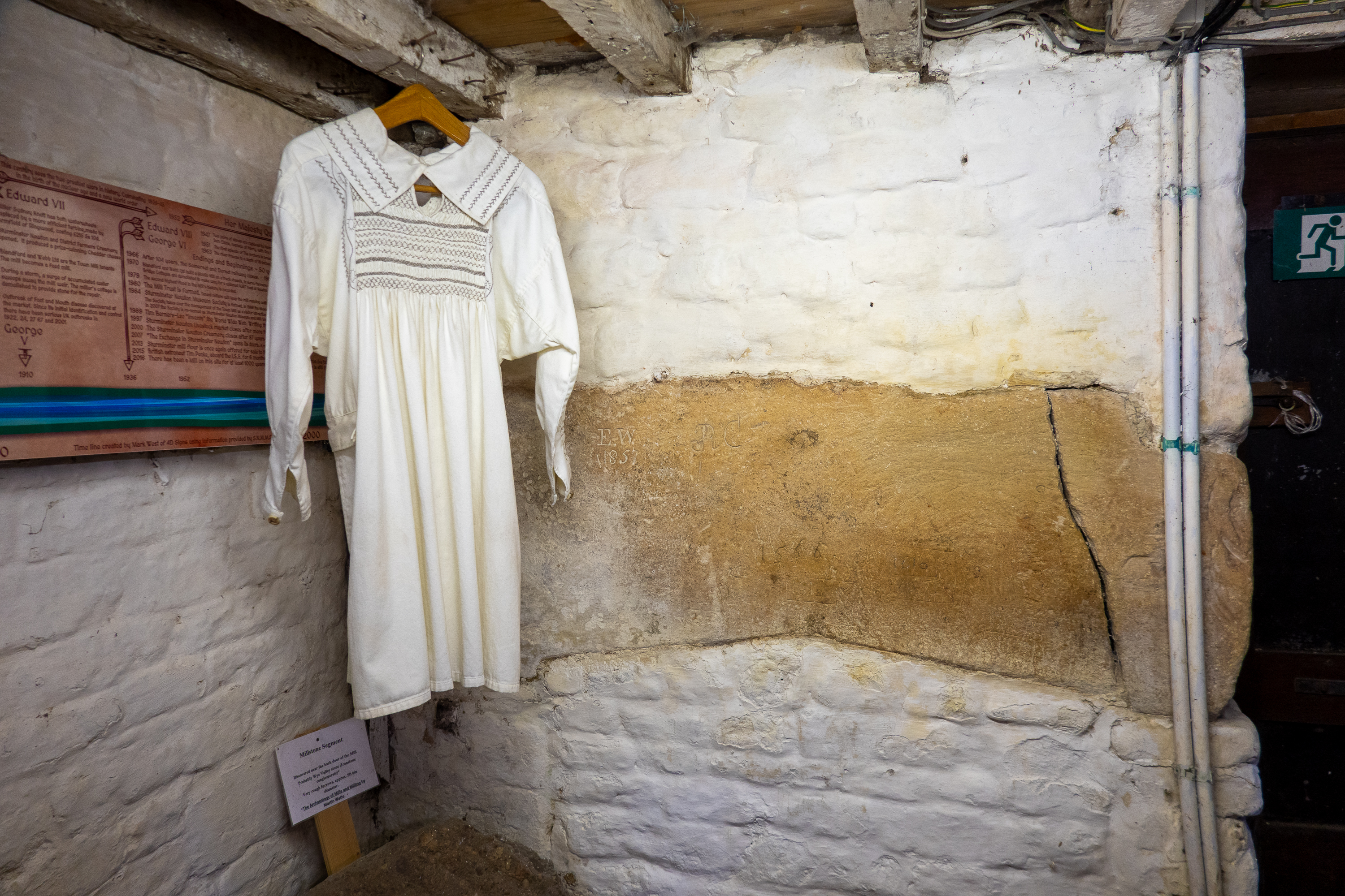
A volunteer was manning the mill and was in charge of grinding the flour that day and he proved a most knowledgable and excellent guide. He showed us around and explained the link between the mill, which was originally a fulling mill and made swanskin waterproof cloth (https://en.wikipedia.org/wiki/Swanskin_cloth) and the fishing industry of Nova Scotia, which fascinated us after our visit to Nova Scotia – we saw both sides of the exchange. We tend to think of mills as places to grind grain, but, in reality, they were medieval power plants that could drive anything from saws (saw mills), to trip hammers (fulling mill), to, of course, grinding mills.
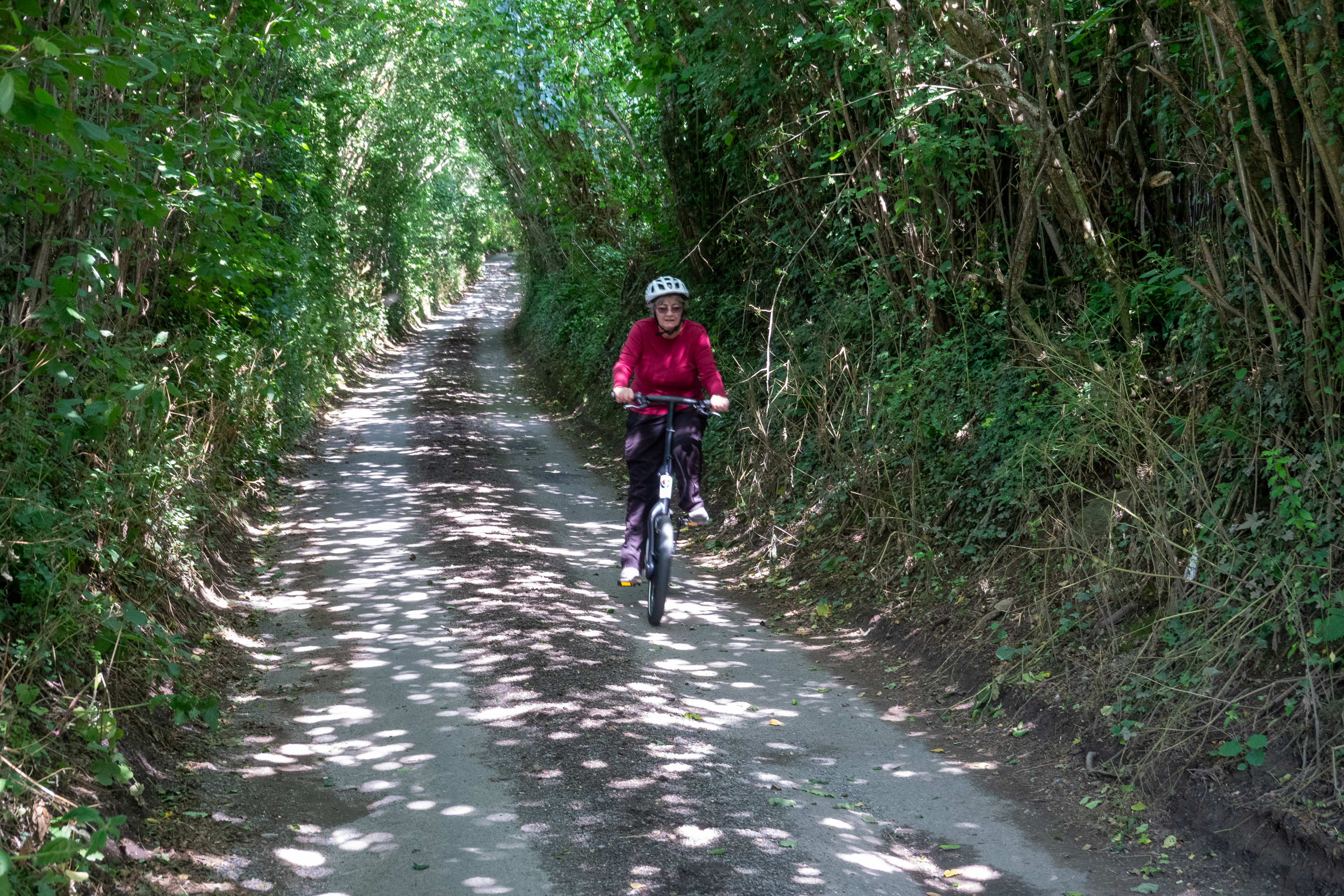
We then headed for Fifehead Neville along the Dark Lane, a lane with trees from both sides touching overhead.
Denise hurtling down the Dark Lane.
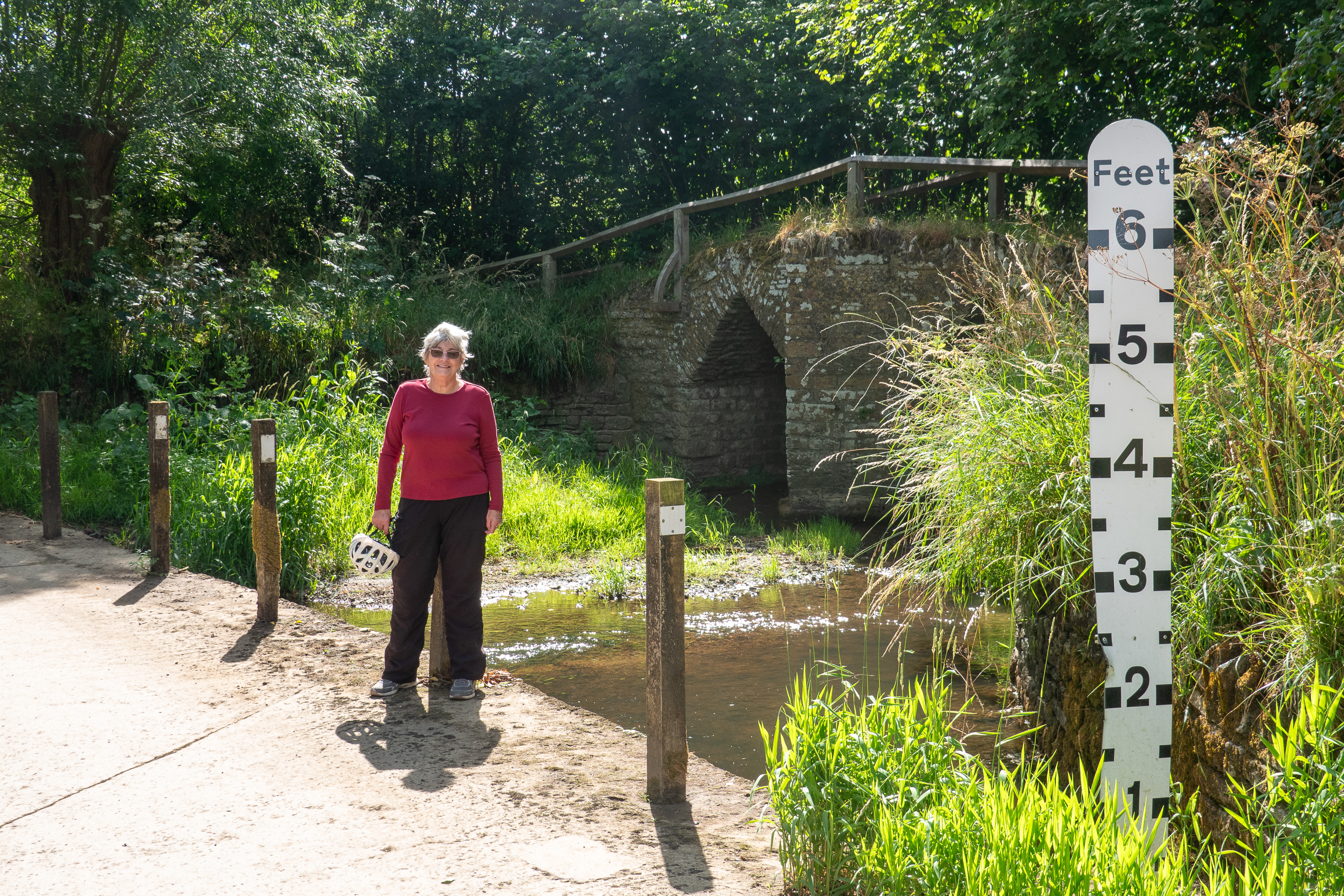
Parts of it were so narrow that we had to dismount and pull our bikes (and ourselves) into the hedges in order to let a normal car pass. As we cycled along we suddenly saw the medieval bridge for which we were looking, the pack horse bridge. We cycled right by it! A pack horse bridge is built without parapets so that the cargo on the backs of pack animals would not be squashed and damaged.
The water can get deep!
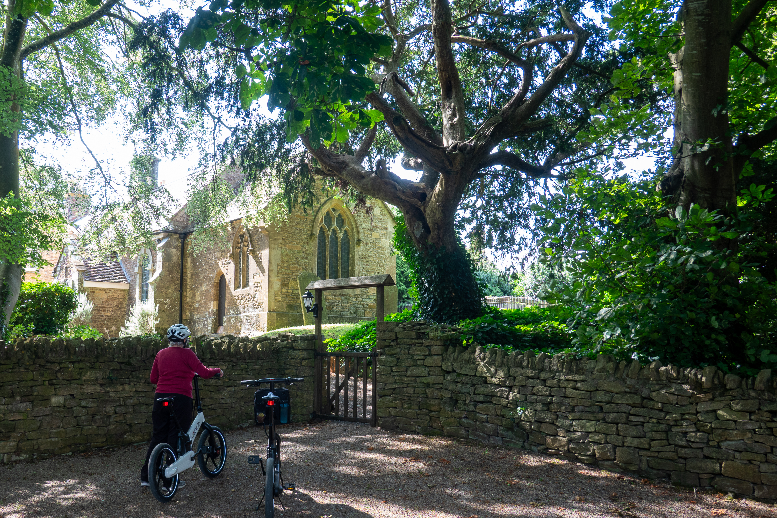
We also enjoyed a visit to All Saints Church in Fifehead Neville. Fifehead is an old name, meaning “five hides” and Neville is a modification of a French family name. Many villages in the area are named Fifehead “Something,” and all date back to the Conquest. All Saints Church is impressively old. The population of Fifehead Neville was 147 in 2011 – not a huge town.
There are two modern war memorial plaques in the church. Not much information on Private Rolls. He may have been seconded to a New Zealand engineer group, digging mines under the German lines. Cecil Collins was almost certainly lost in the sinking of HMS Charybdis off the Channel Isles. (https://en.wikipedia.org/wiki/HMS_Charybdis_(88)?fbclid=IwAR0o1WL3dcg0-8Hxbx1ZNkV0xEpYbr5wWfqxRn7xysO_zKgEouTo6sXxNBM)
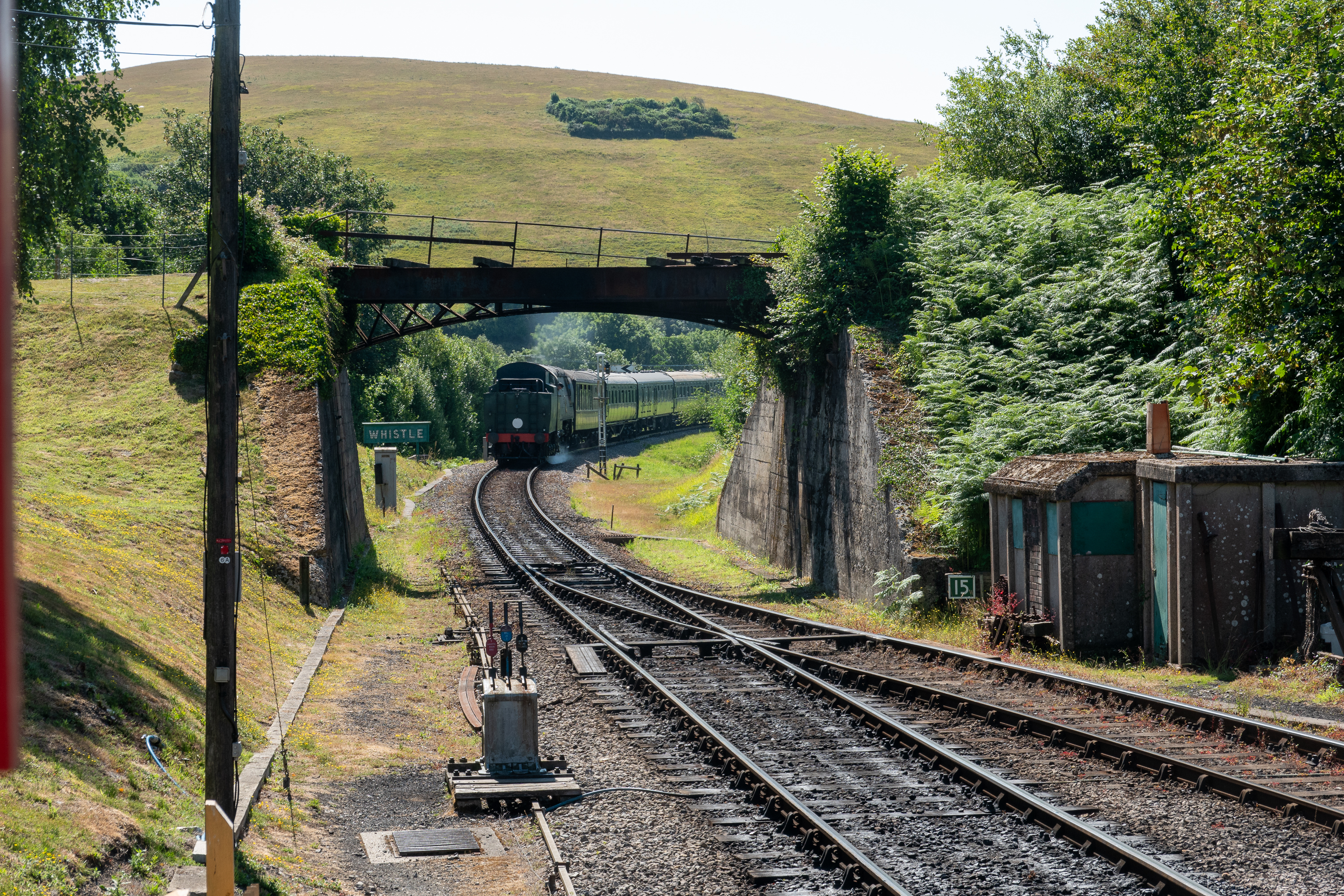
Our final visit in Dorset was to take the steam train from Nordern to Swanage and then back to Corfe Castle. It was a much larger engine than most tourist steam train engines and pulled several carriages.
We picked a nice sunny day for this and enjoyed a walk along the beach at Swanage.
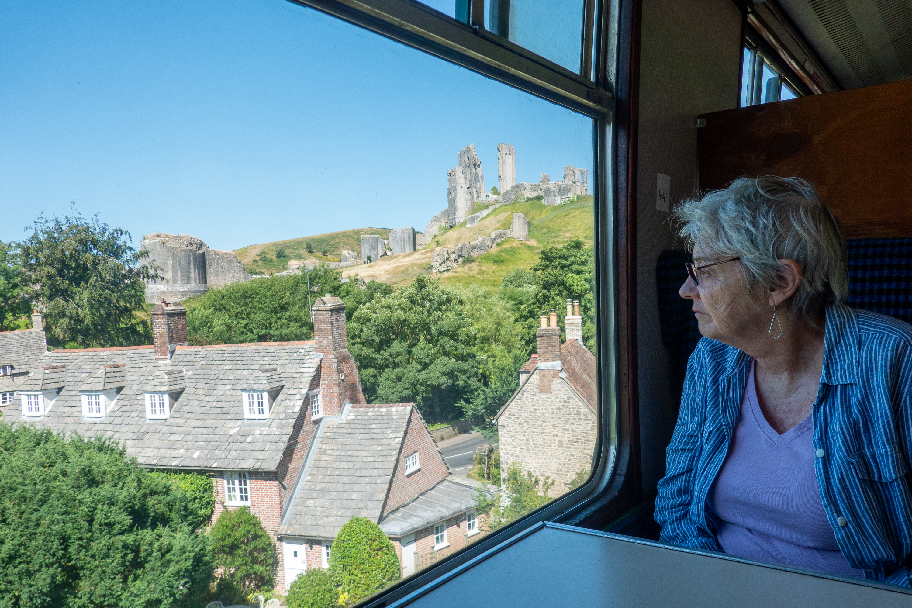
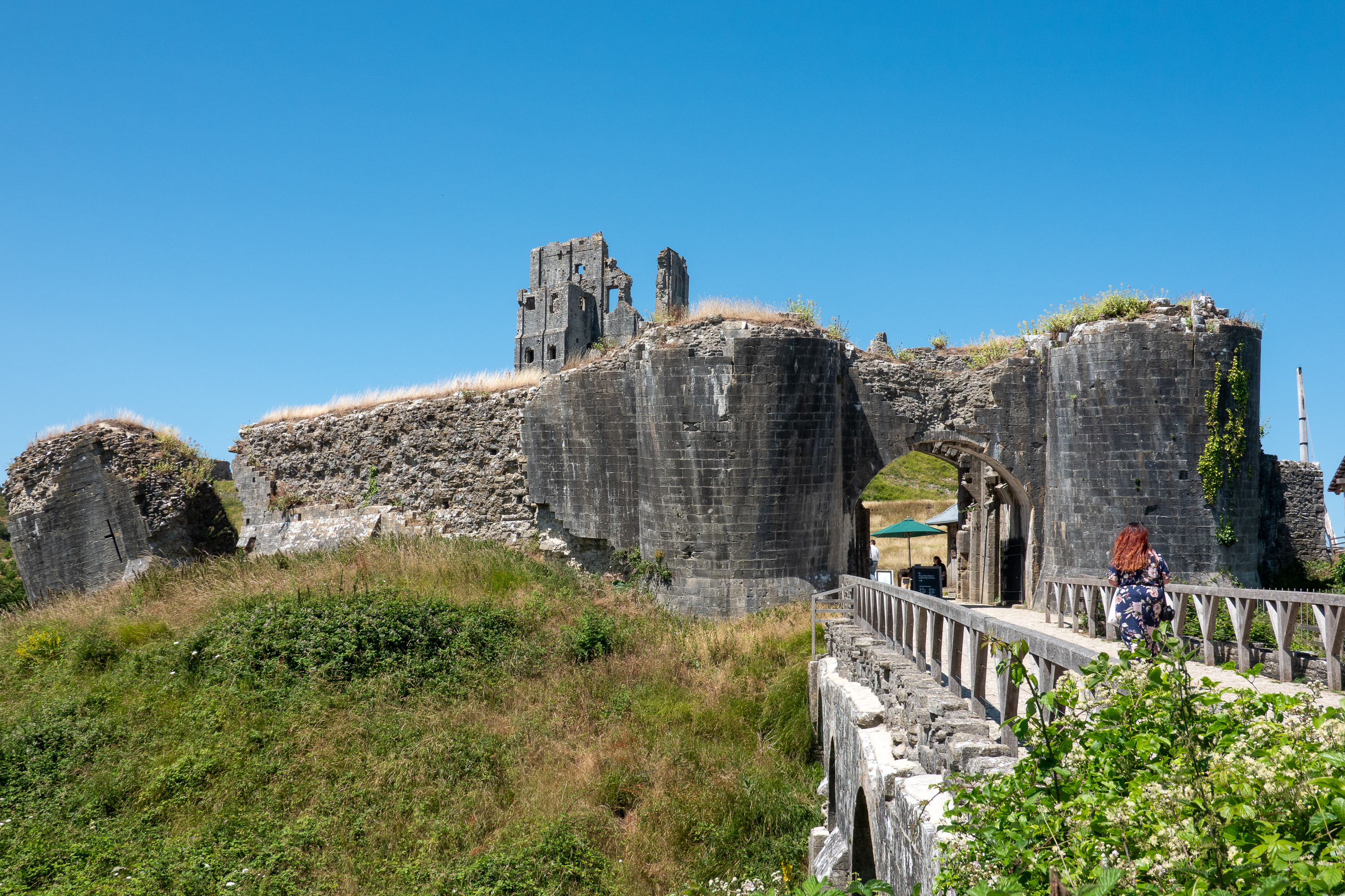
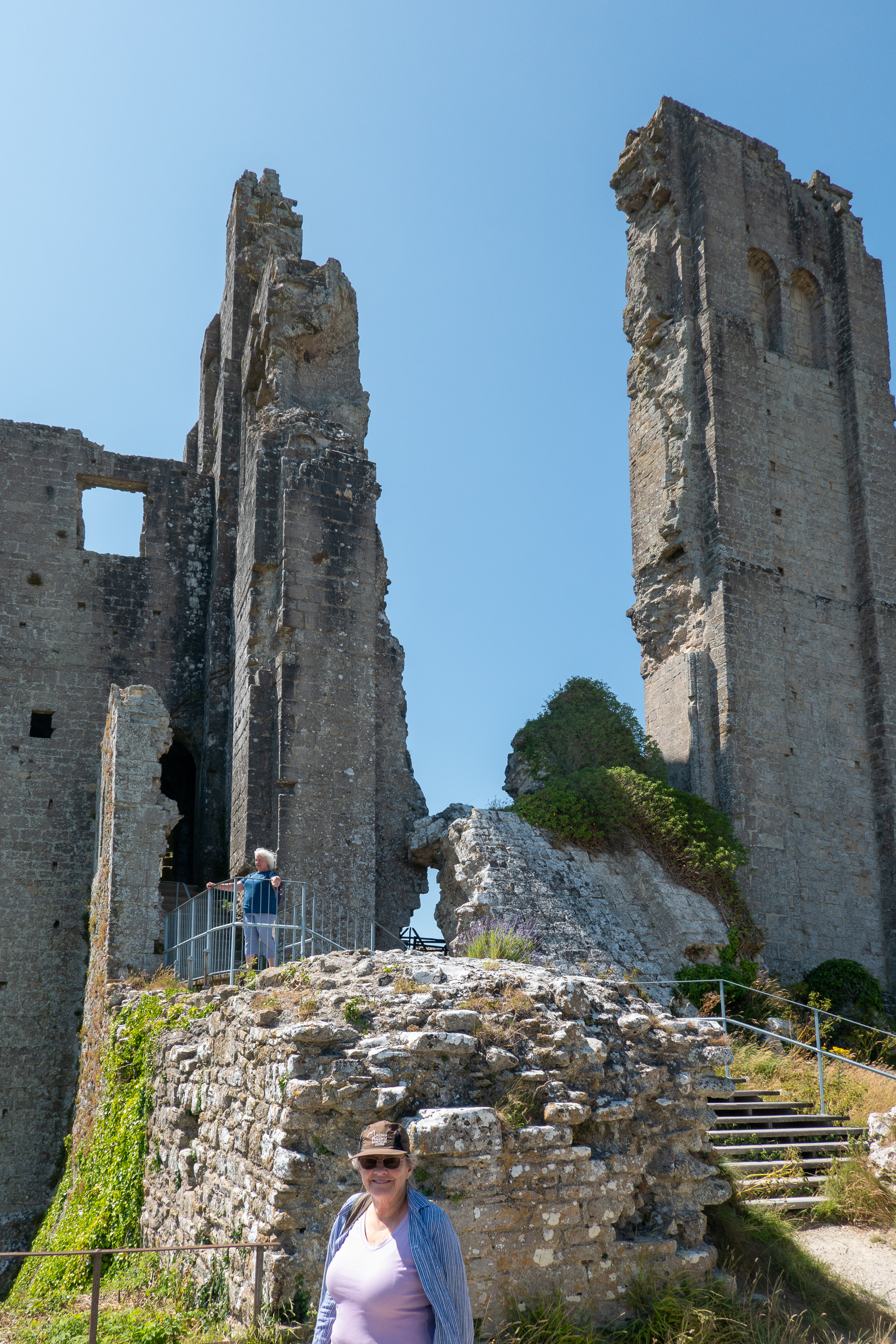
Then it was back on the train to visit the Corfe Castle ruins. The ruins are a fair climb up from the village.
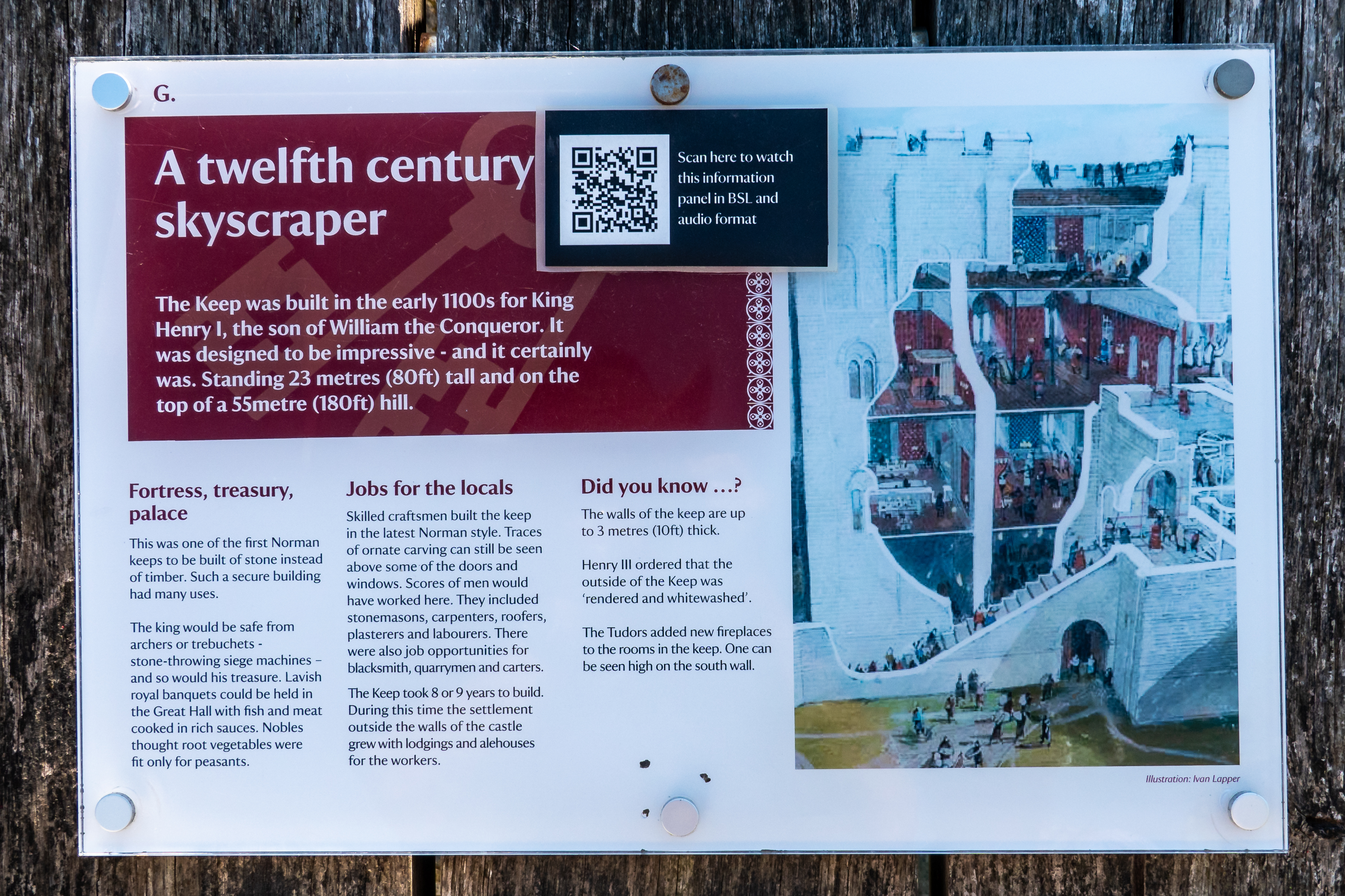
View of a replica trebuchet in the outer Bailey. Gives a sense of the elevation of the Keep.
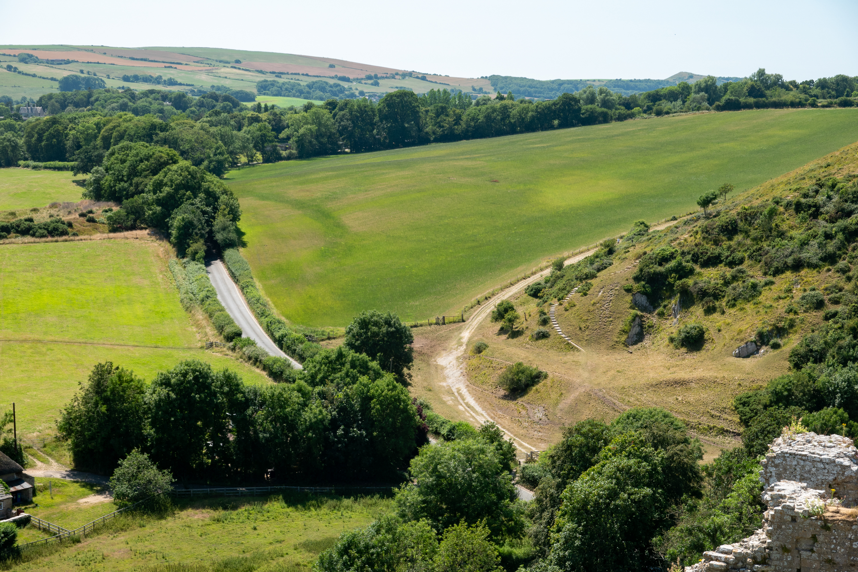
The views from the summit of the ruins were spectacular, both distant views and the views of the village of Corfe below. The Castle was built by William the Conqueror and sold off by Elizabeth the First. The castle withstood some amazing sieges during English civil wars.
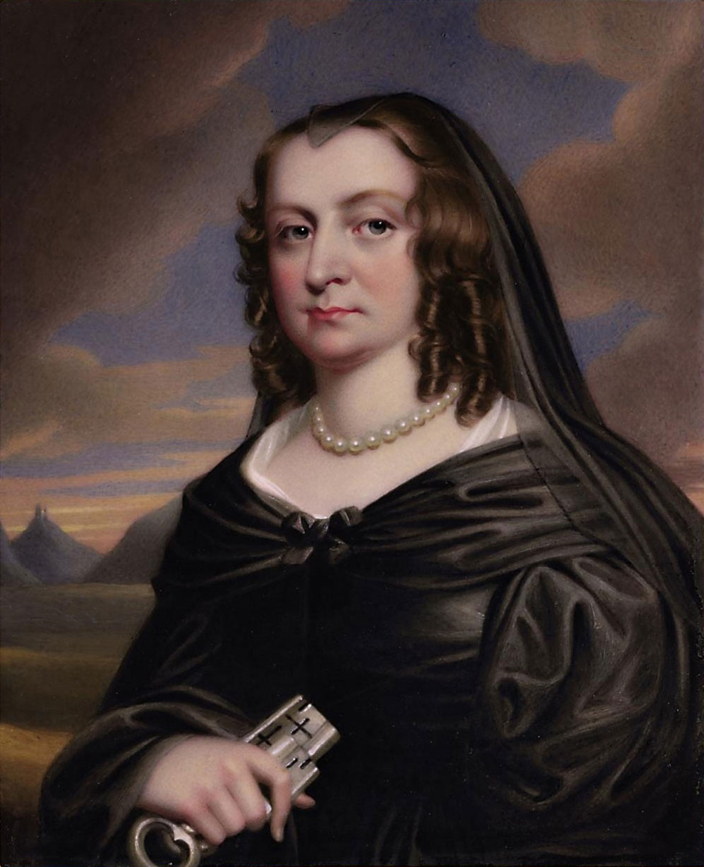
Mary Bankes, who held Corfe for the Royalists for three years, until betrayed by a “turncoat” officer. (Yes, being a “turncoat” was a literal thing.)
The castle was finally “slighted” by the parliamentarians but it is interesting to note that even with tons of explosives, the walls did not disintegrate, but rather fell as large, intact sections. Some amazing masonry. (https://en.wikipedia.org/wiki/Corfe_Castle
Tired and thirsty, we returned to the station and took the train back to Nordern to pick up the 917.
Then it was back to the campsite. The Cerne Abbas giant will have to await our next trip! Finally, we dropped the 917 off at its storage site and caught the train towards Heathrow and thence a flight back to the US.
We took the 917 to Atkinson Vos early in the morning and, after a quick review of the work list, they dropped us at the train station, where we shared the platform with a whole classroom of elementary children, off on a school trip. The parents all offered us condolences, but the children were, in fact, delightful.
While the 917 had its spa week, we went to stay in the little market town of Glossop, Derbyshire. One of our daughter’s favorite teachers from Botswana was foolish enough to invite us to stay and we jumped at the opportunity. From Bentham we took the train to Lancaster for our first change, only to learn at an “incident” had blocked all of the trains from the north. (The incident may have been a suicide.) After a moment’s confusion, we were all put on the next train south to Preston, and from there, we were able to get trains to Manchester and finally Glossop, still arriving almost on time. Simply amazing how well it all worked.
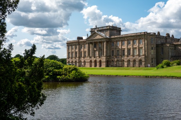
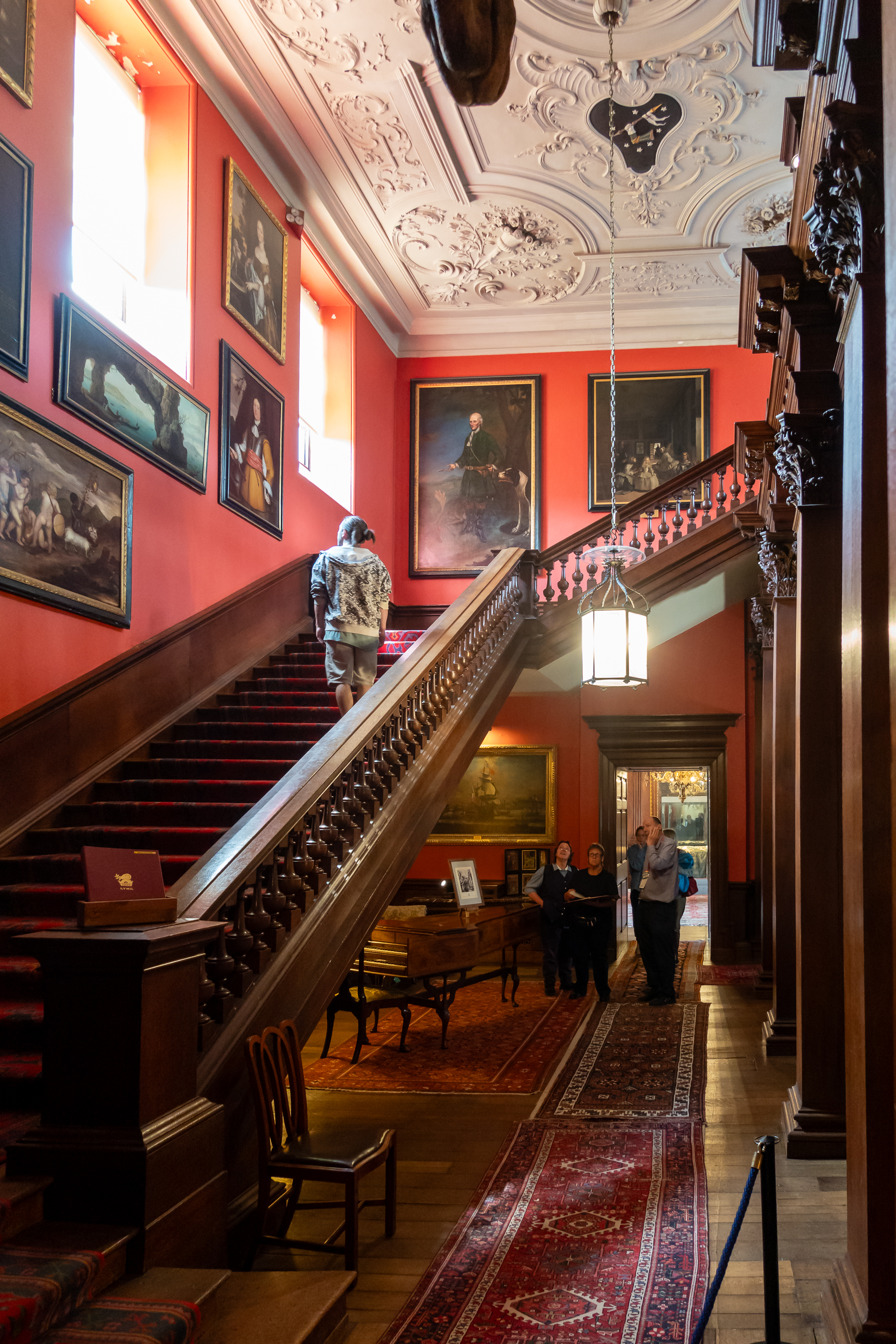
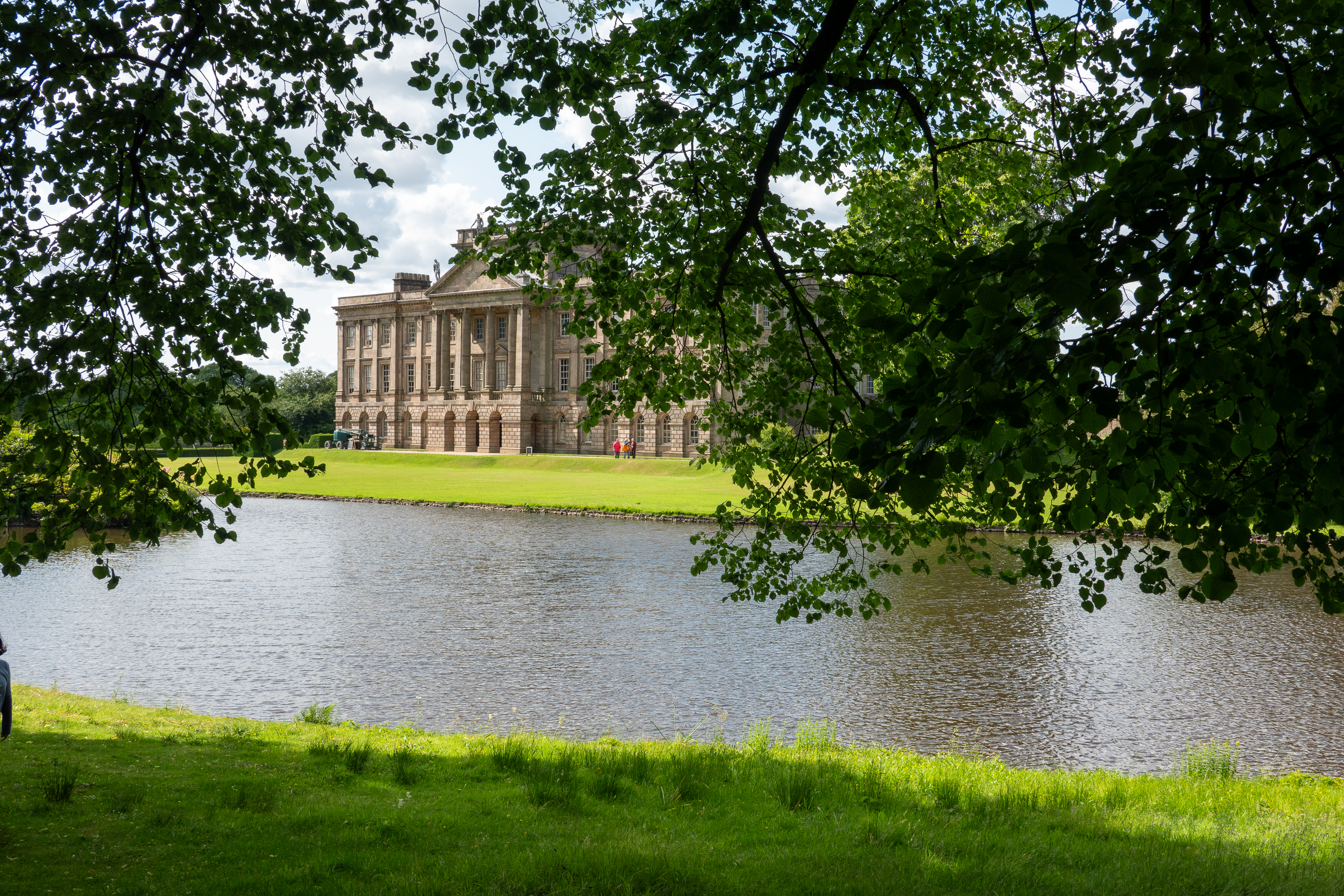
Our host volunteers at Lyme Park. Yes, THAT Lyme Park, the “Pemberley” that Jennifer Ehle (Elizabeth Darcy) sees in the Colin Firth “Pride and Prejudice.” To the annoyance of all at Lyme Park, only the exterior was used. Probably just as well, the interior ghosts might not have liked a film crew. Don’t know how the ghosts of the phantom funeral procession, that is said to haunt the grounds, took to the filming.
It all began with Sir Thomas d’Anyers, who fought with the Black Prince at the Battle of Crécy. Sir Thomas had recovered the Black Prince’s Standard and was rewarded with an annuity of 40 Marks a year drawn on the Black Prince’s Cheshire estates. This led to a coat of arms that featured the recovered standard.
The Legh family married into the d’Anyers family and thus acquired the land. The history of the Legh family is as complex as they come. Sir Piers Legh acquired the property by marrying into the d’Anyers family, was knighted by Richard II in 1397 and beheaded in 1899, after a failed coup. “When you strike at the king, don’t miss!” The family saga is even harder to follow as many shared the same name. (https://en.wikipedia.org/wiki/Leghs_of_Lyme)
Tudor coat of arms, a golden English lion and a Welsh red dragon. The Stuarts of Scotland replaced it with the Scotch unicorn that you see today.
If you were in the nobility, it always helped that your house showed your loyalty; you could never tell when royalty might come to stay.
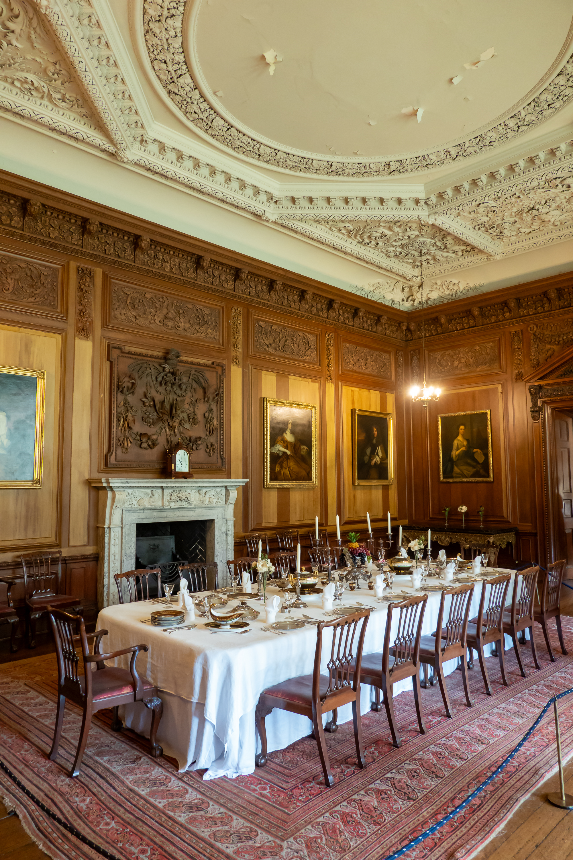
The architecture of the house itself is similarly muddled, with odd staircases and passages.
Where we live, in Virginia, people do a lot of remodeling so as not to move further from Washington. But our “remodeling” has nothing on the scale of what was done to Lyme Park over the centuries – simply vast. All in all, however, quite a house. And more than you could ever want to know can be found, here: https://www.thornber.net/cheshire/htmlfiles/houseoflyme.pdf
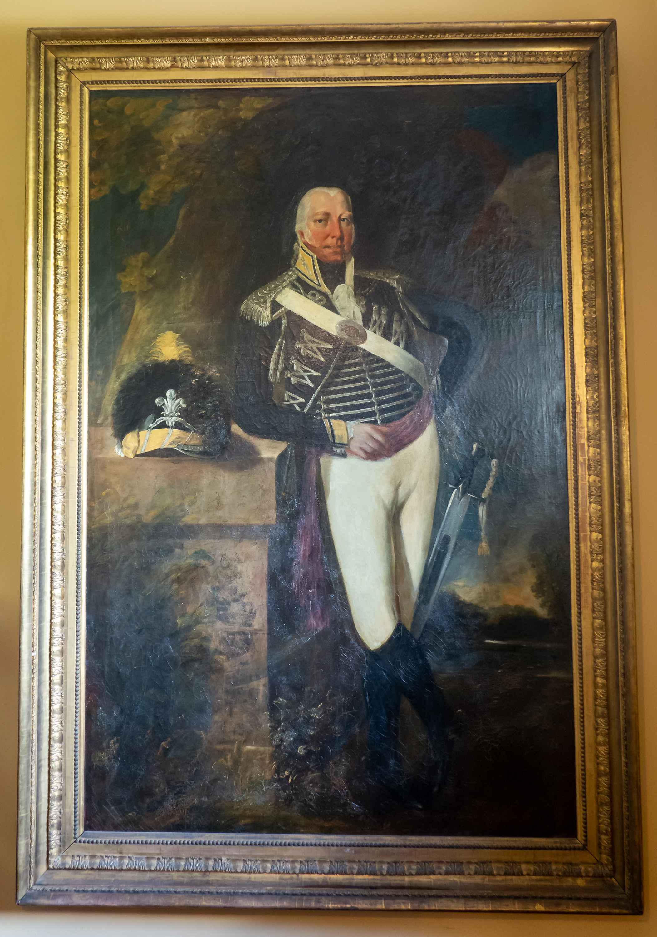
Two of the more interesting Leghs.
Thomas Peter Legh Seven kids by seven women; none of whom was his wife.
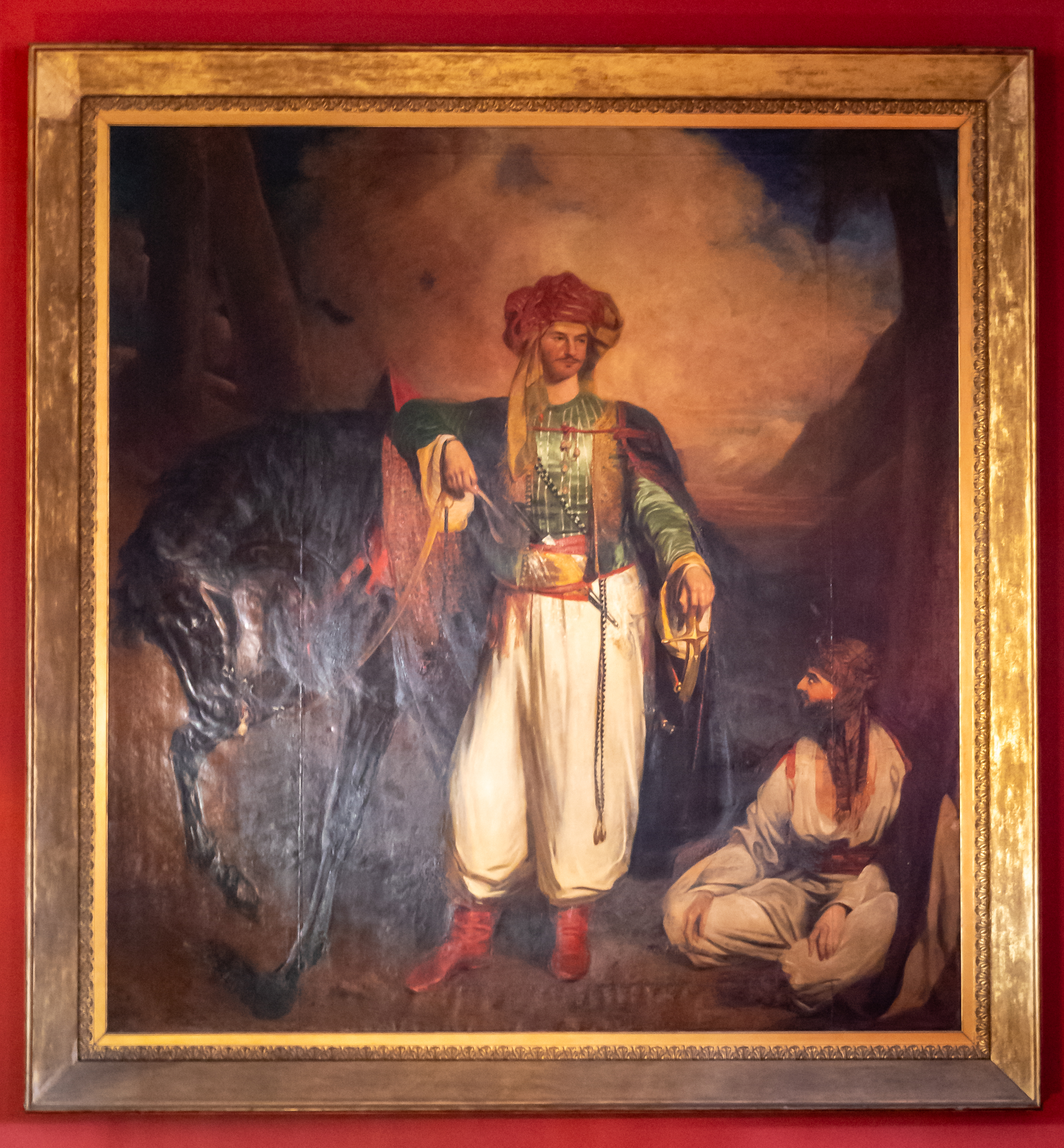
Thomas Legh, the eldest son of Thomas Peter. Always bothered that he was illegitimate, he traveled to the middle east, including Petra. A man after Fred’s own heart, he wrote “Narrative of a Journey in Egypt and the Country Beyond the Cataracts.” On Wellington’ staff at Waterloo.
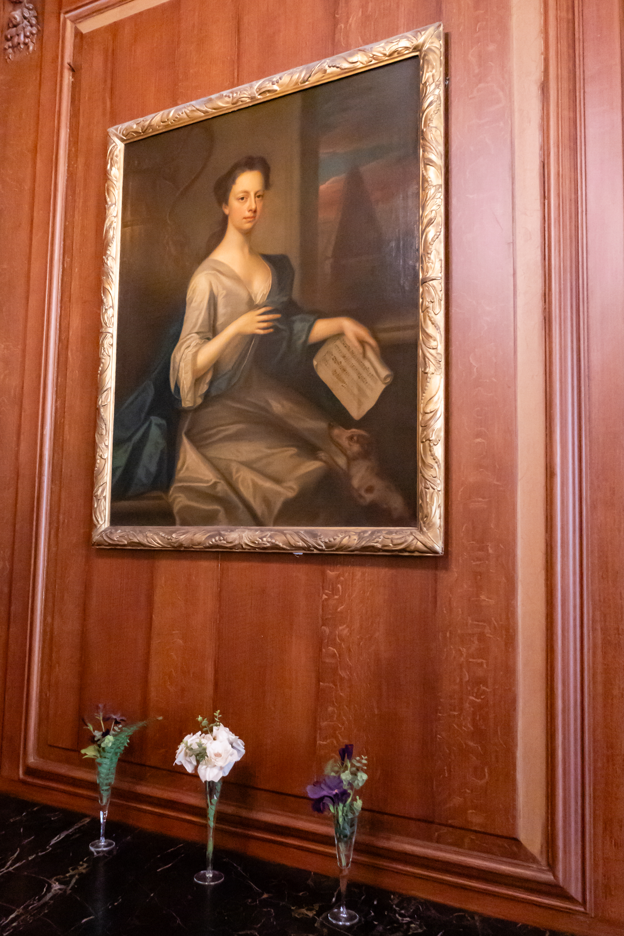
Martha Benet, Mrs. Peter Legh XIII. She lost two sons in infancy and her daughters could not inherit.Read this and you will start traveling! And these, unlike Fred’s excerpt, are originals
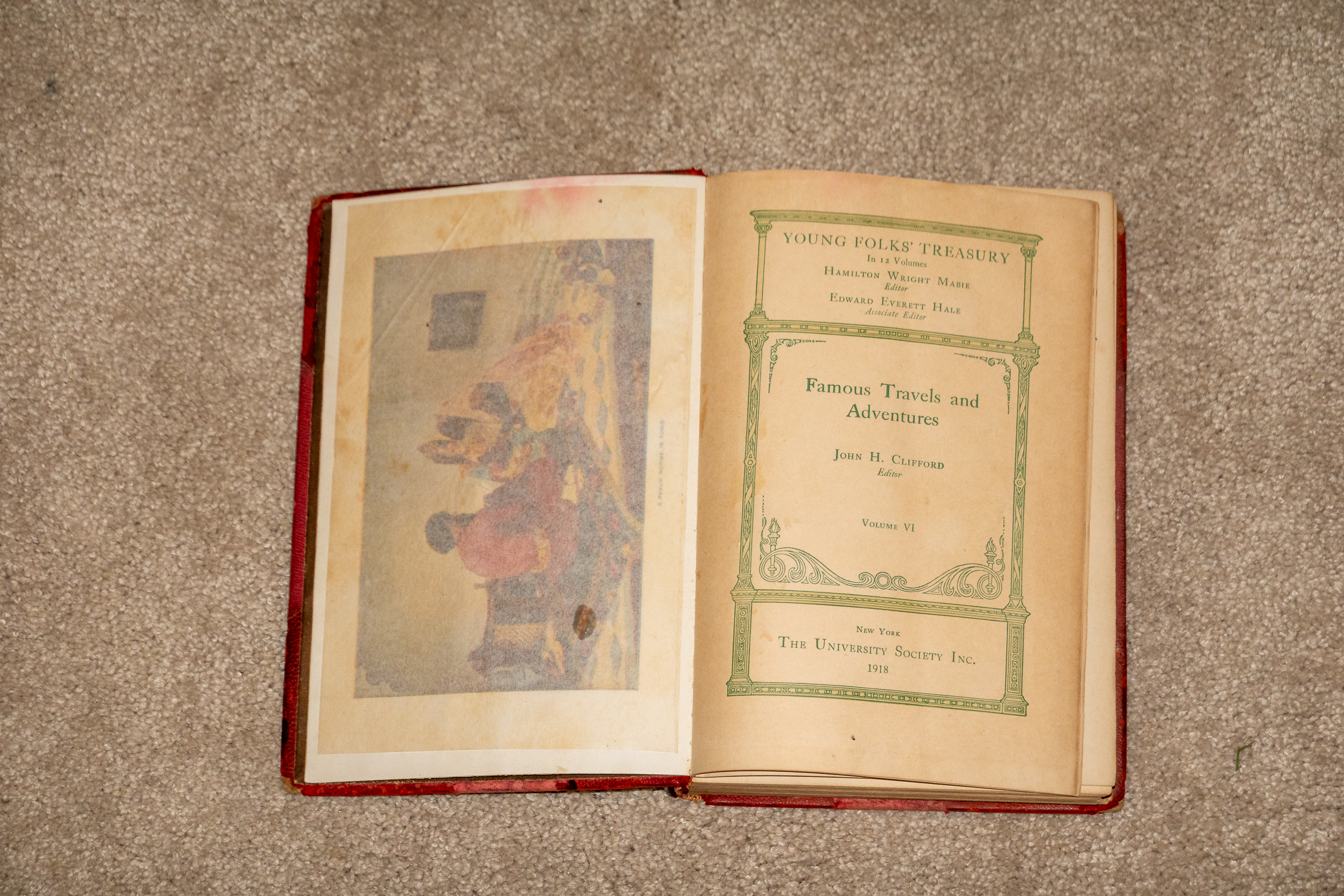
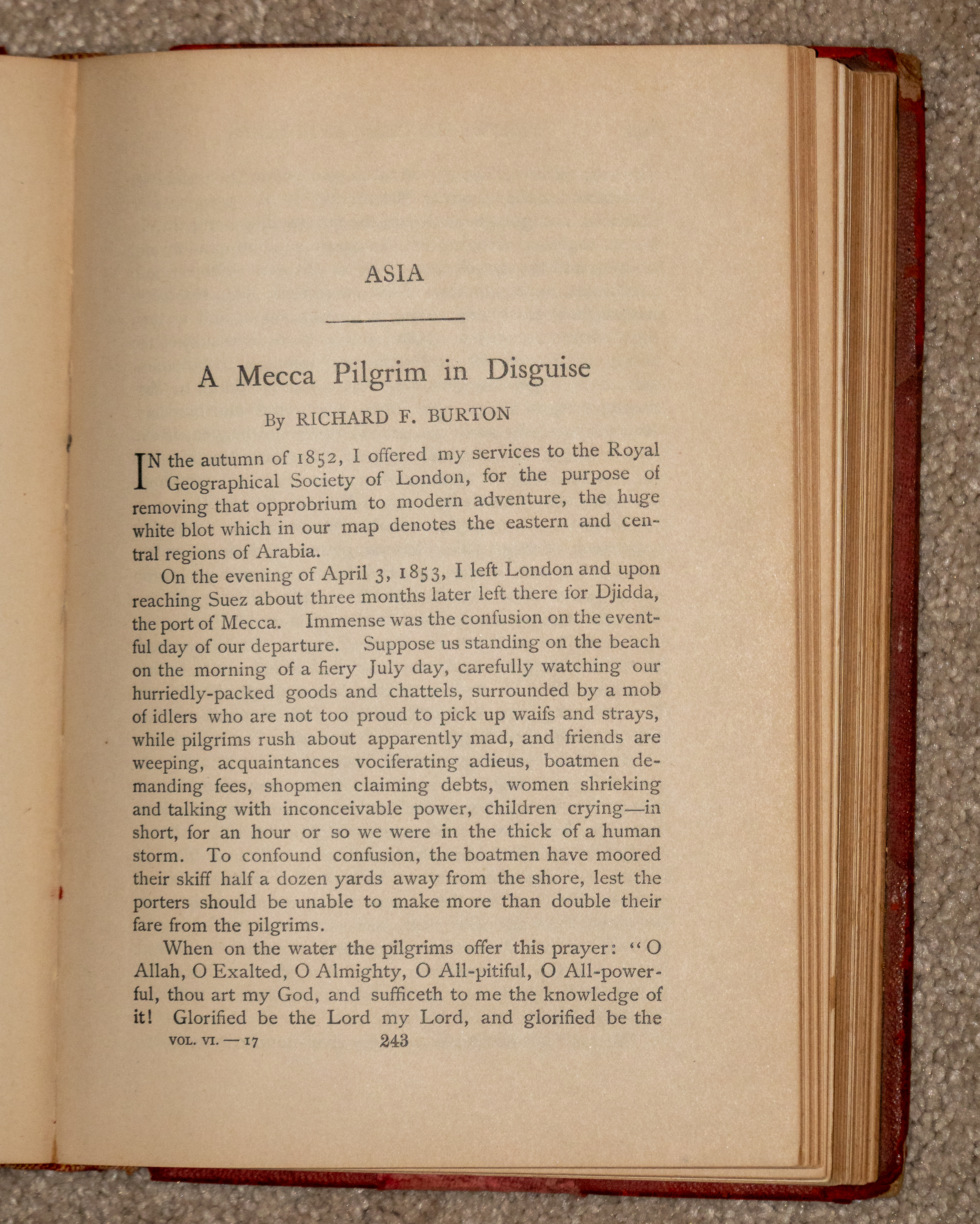
As a child, Fred had an ancient children’s book, which was full of tales by Victorian and other travelers. Made a huge impression as one of the chapters covered a visit to Petra, a place where he had actually been. Another chapter was an excerpt from Burton’s “Mecca Pilgrim.”
Fred’s book was old, but here, at Lyme Park, we were looking at an original edition. Took the better part of a lifetime, but we did make it to Jeddah, as close as non-Muslims can get to Mecca.
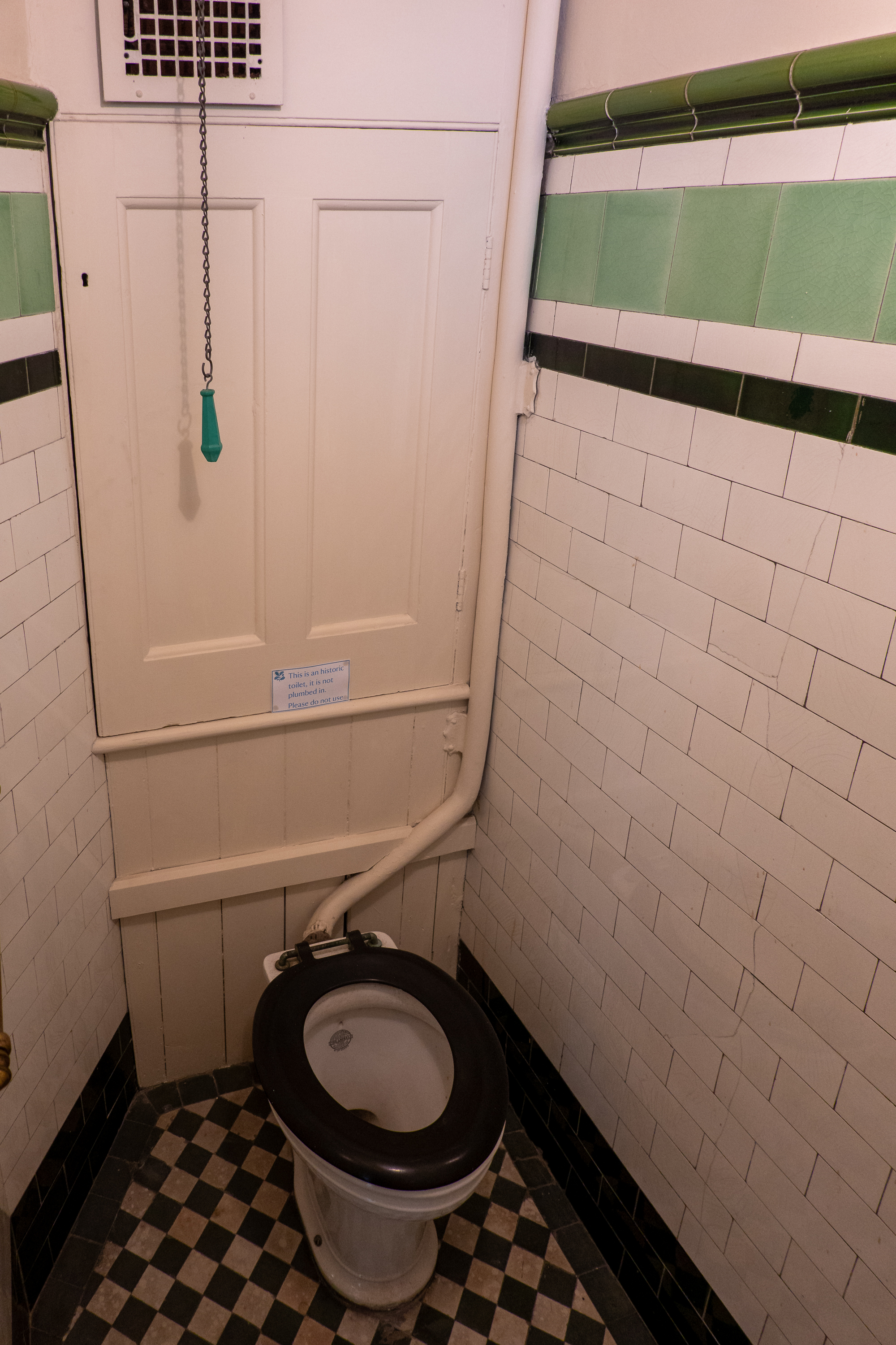
When you own an old house, adding modern plumbing is both a relief and a challenge! Didn’t find a Jacuzzi.
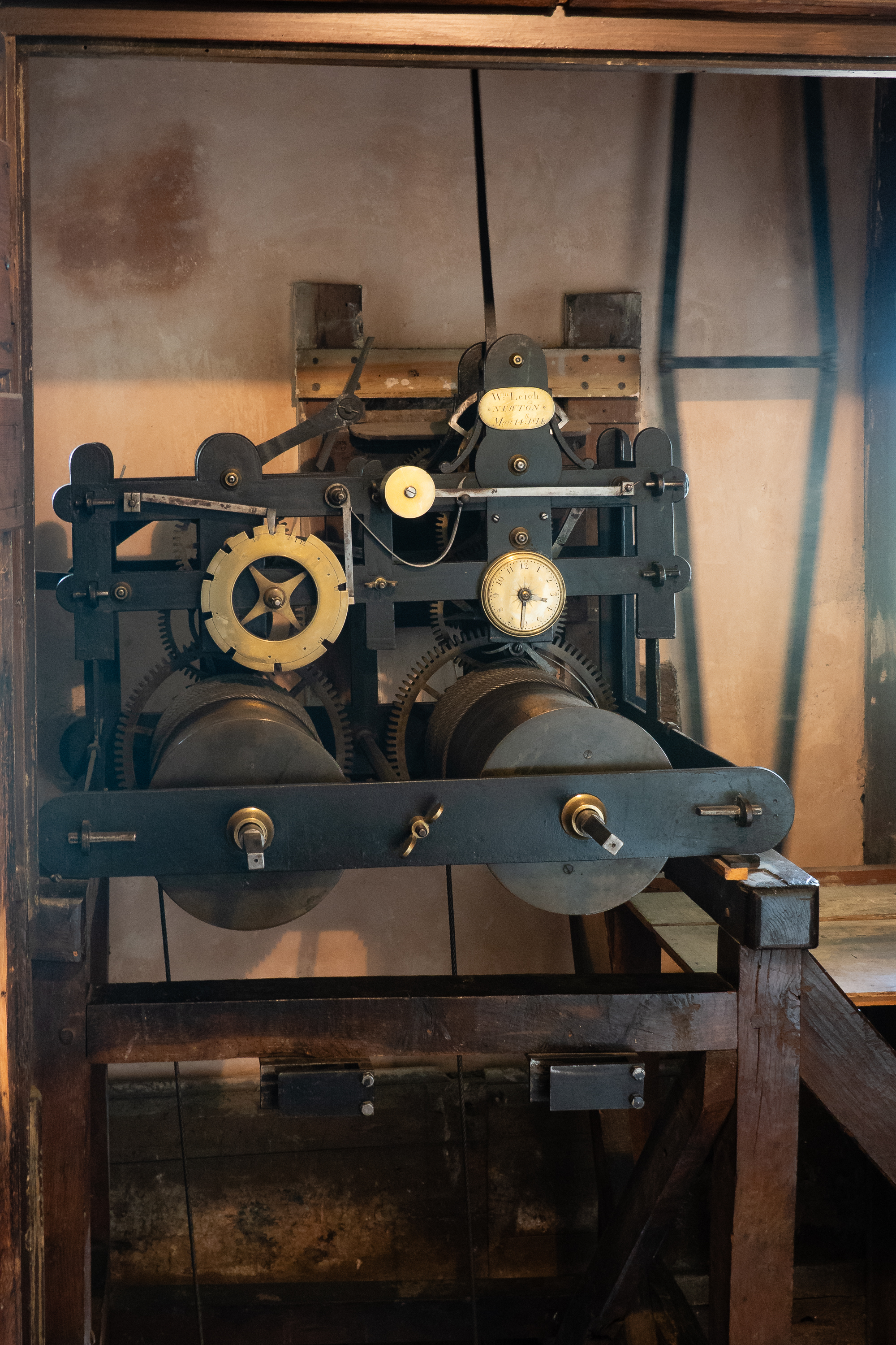
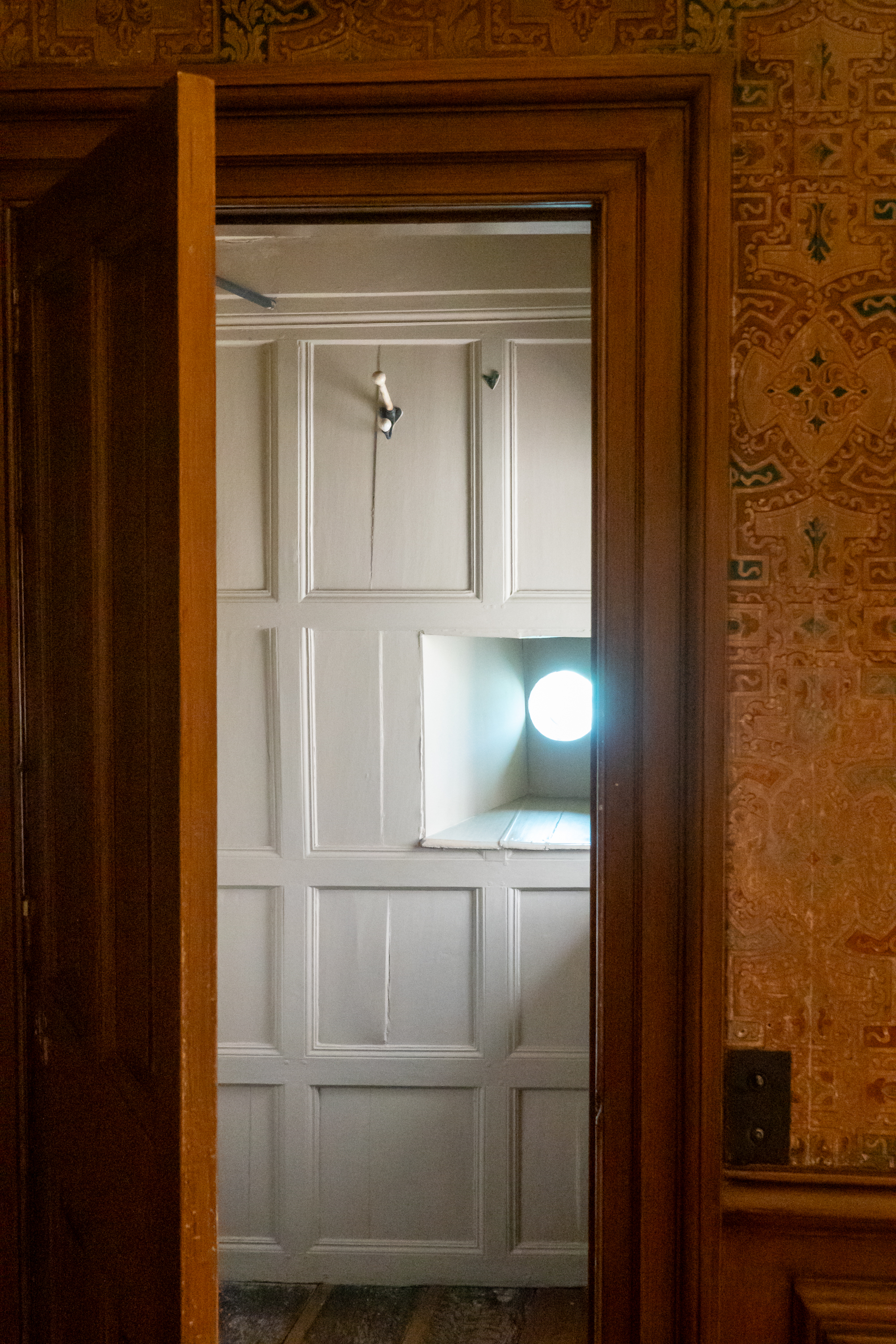
The Facade features a clock, and, on each side, a dressing room with a port hole.
Clock mechanism with massive weights.
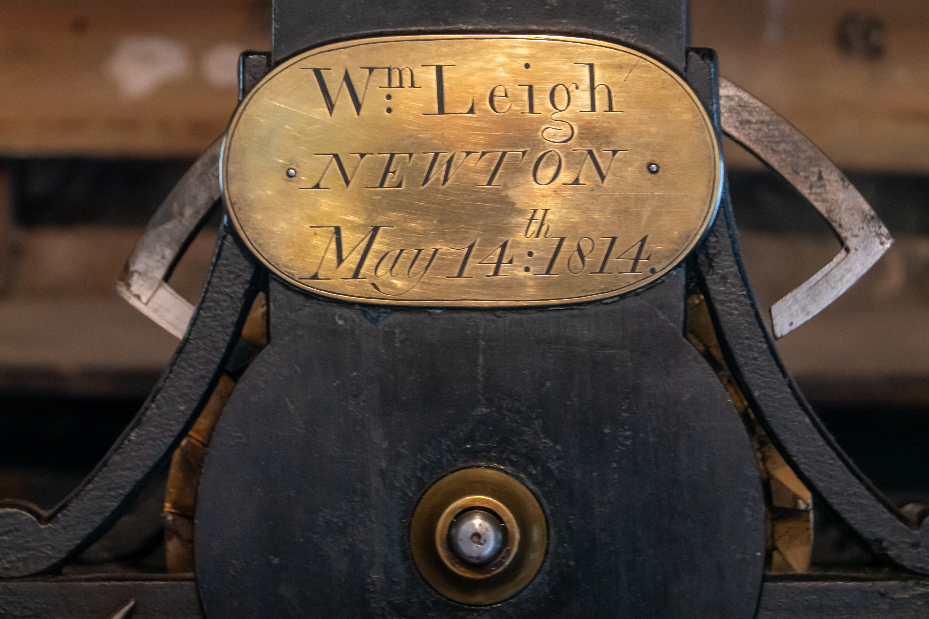
Makers plaque on the clock.Port hole from the Wig Room. You do have a wig room in your house, don’t you?
What Elizabeth saw as she came around the bend.Tourists getting their picture taken.
After a wonderful week, we hopped back on the train – no delays this time, and headed back to Bentham, arriving in the rain. We picked up the truck and headed back to Settle but oh, the changes! Now we had a speedometer that worked, clear glass in the passenger side mirror, a new radiator hose and, wonder of wonders, the steering was tighter. Soooo much easier to navigate the narrow lanes!
It was time to head south but time was an issue as we were expected at Atkinson Vos on June 26. So we headed to Thurso and then opted to return down the A9, which had less spectacular scenery but would be a faster drive in the 917. There is no doubt that the rest of the NC 500 would have been amazing but also very narrow and slow for us. We spent the night at Dingwall and then continued south to Glen Coe.
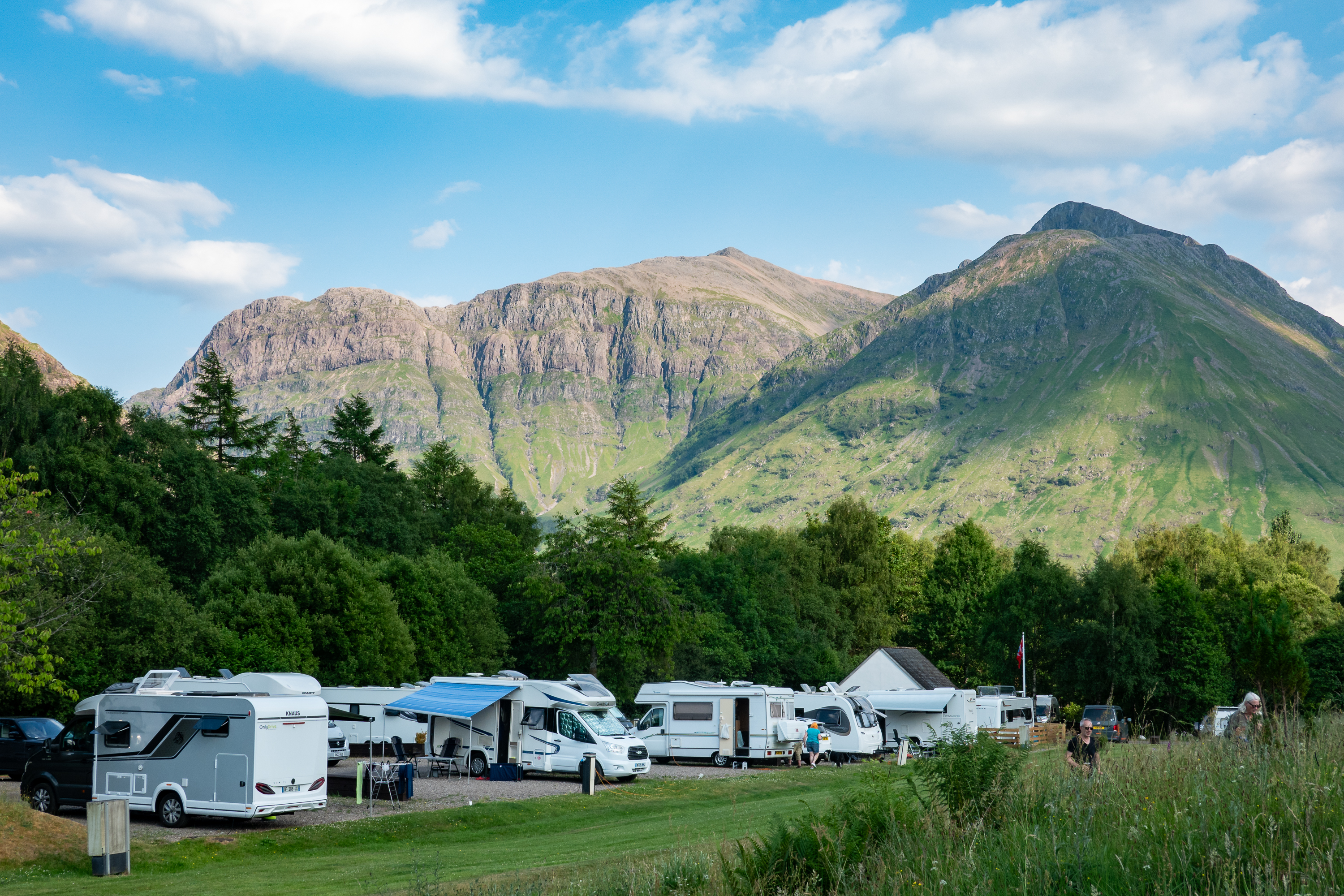
The Glen Coe campsite, surrounded by mountains, was beautiful and walking distance from Glencoe village and Glen Coe Visitor Center. Watching the clouds on the peaks around us was spectacular.
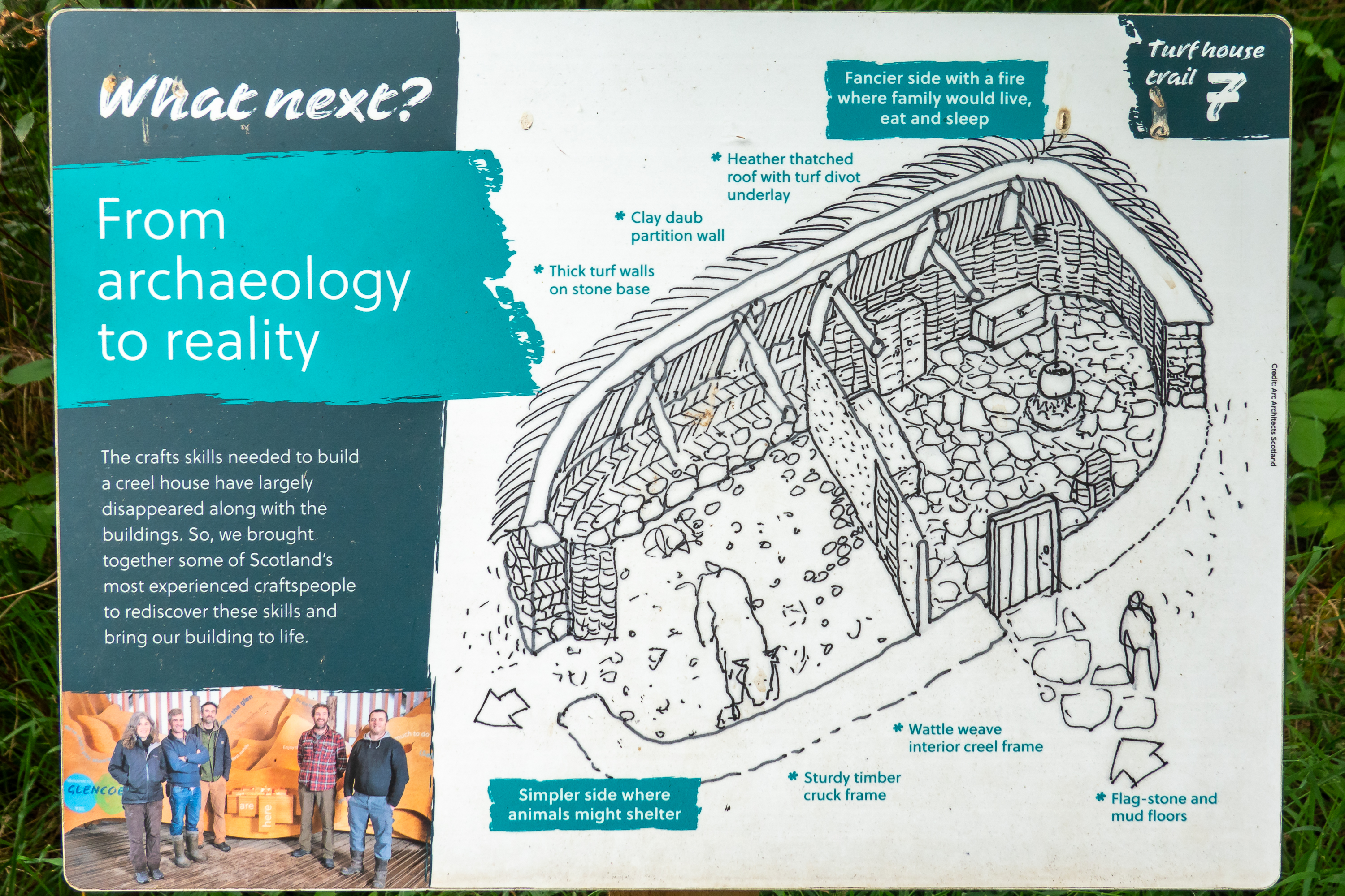
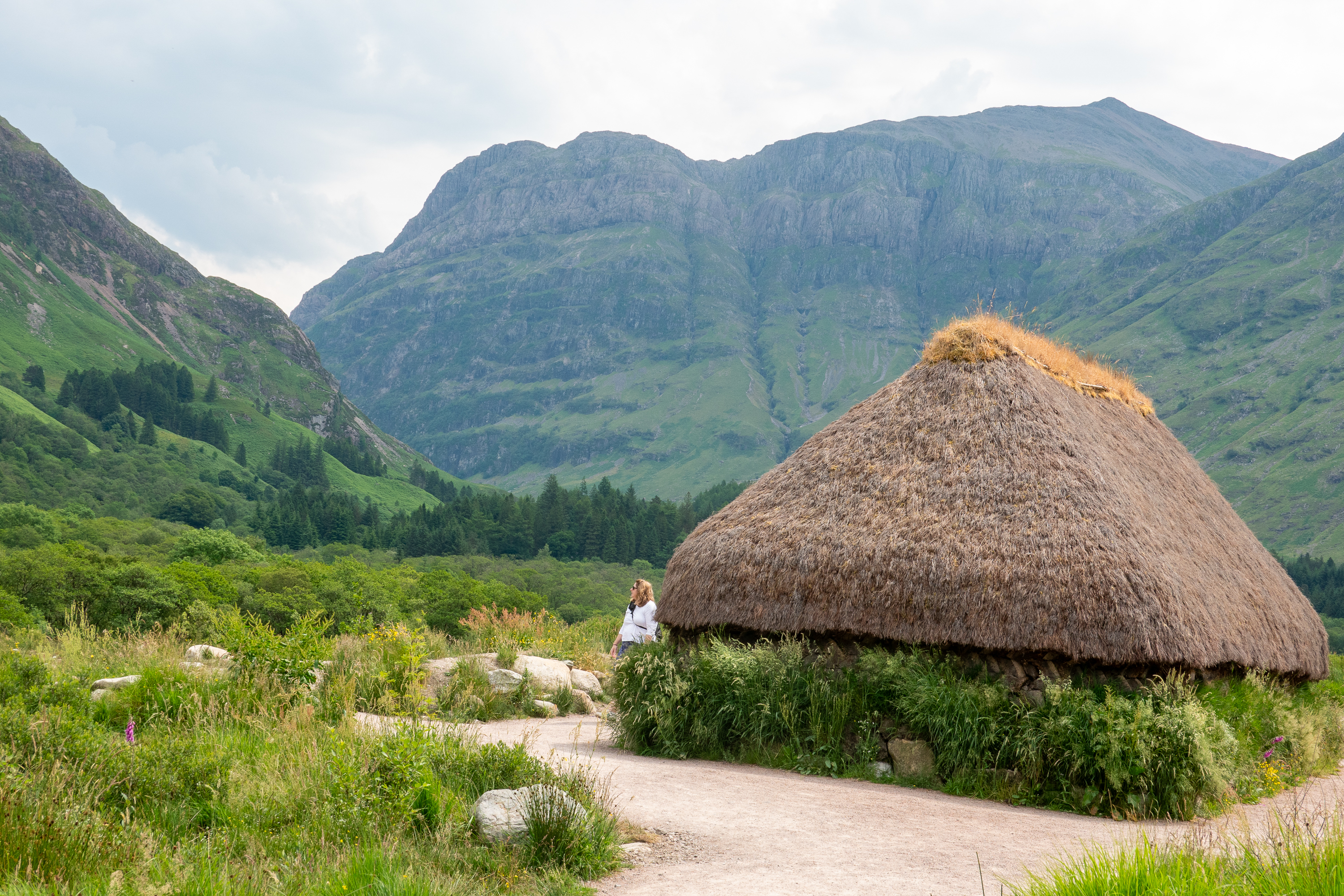
We walked to the Glen Coe Visitor Center. Beyond films about the massacre, the highlight of the center is a meticulously reconstructed traditional Scottish house.
Called a creel house, these buildings, once common, are now a bit of a lost art.
The use of earth and thatch produces a house that is actually well insulated against the bitter cold of Scottish winters.
Central Hearth
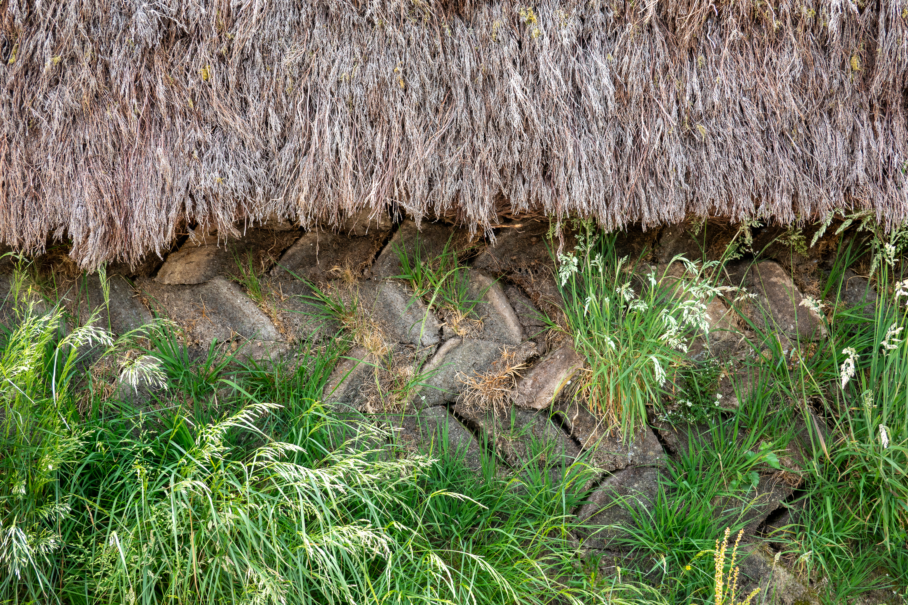
Notice the peat sod blocks, stacked in a chevron pattern.
It was clear that the weather was changing, so we set the following day as our Oban visit day. We drove through only one rainstorm. Oban is noted as a ferry port and the jumping off point for tours of the Western Isles.
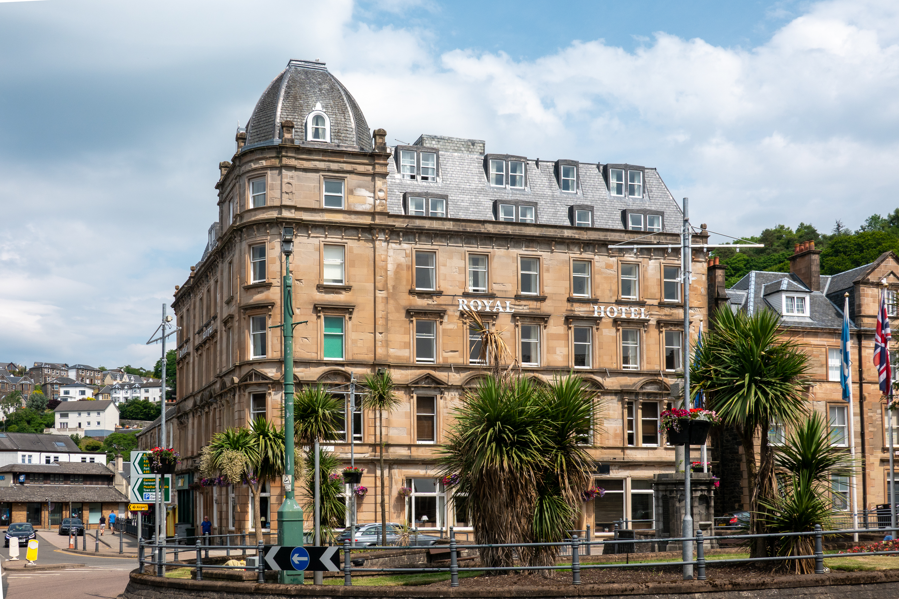
Oban waterfront.
We liked Oban and enjoyed a seafood lunch on the quay, but did not have time to take a ferry to the Western Isles ourselves. We shall have to return!
Ferry to the IslesOban has been a tourist center since Victorian times and it still has a tiny railroad statiion.
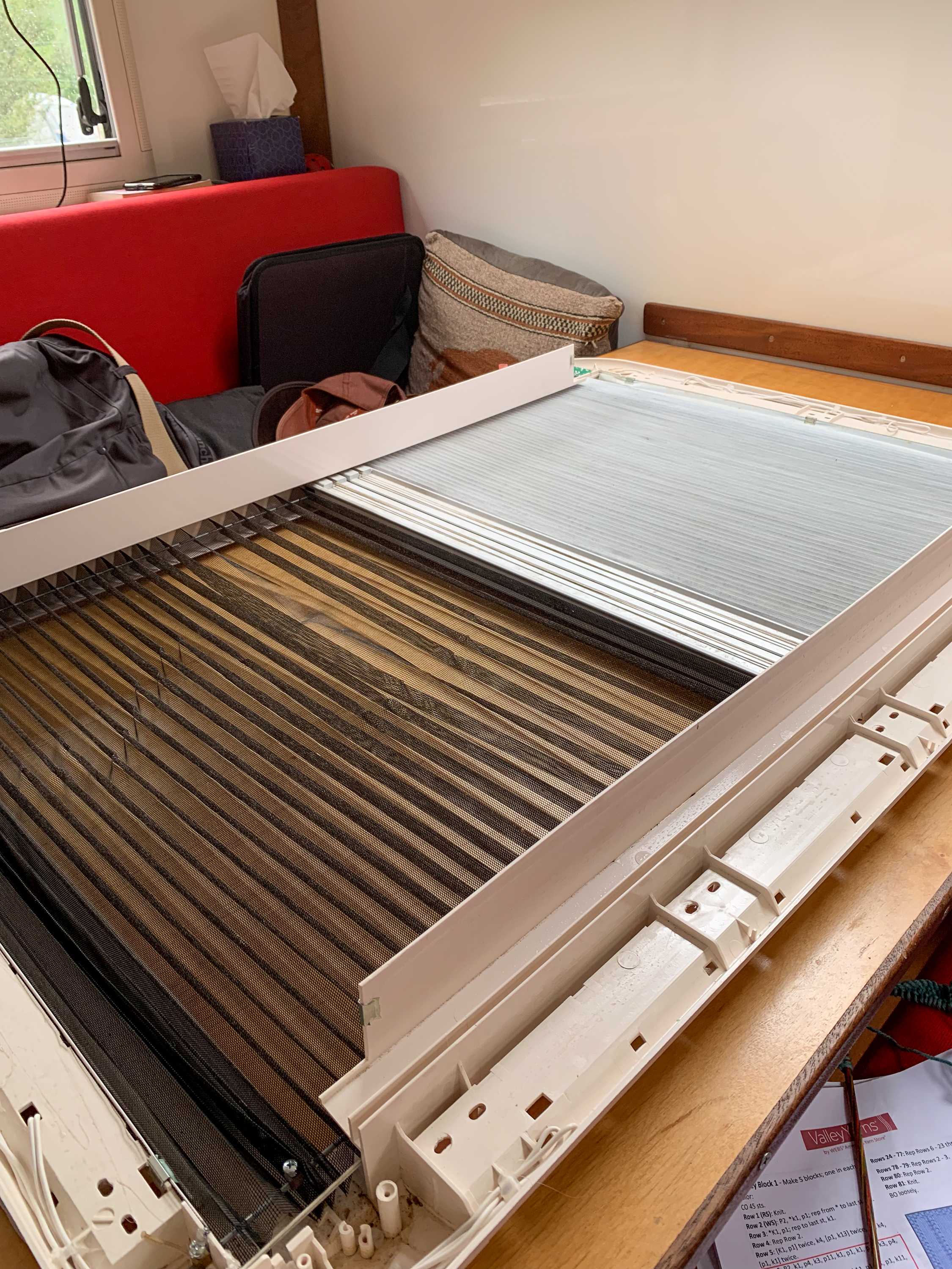
The balance of our time in Glen Coe was spent on maintenance and relaxation. Our skylight had thrown the cords that controlled the shade and, in the land of near Midnight Sun, we needed the shade to work if we were to sleep past about three A.M. We pulled the skylight apart and got lucky as we were able to fix the misbehaving cords. On a maintenance roll, we even cleaned a fan or two.
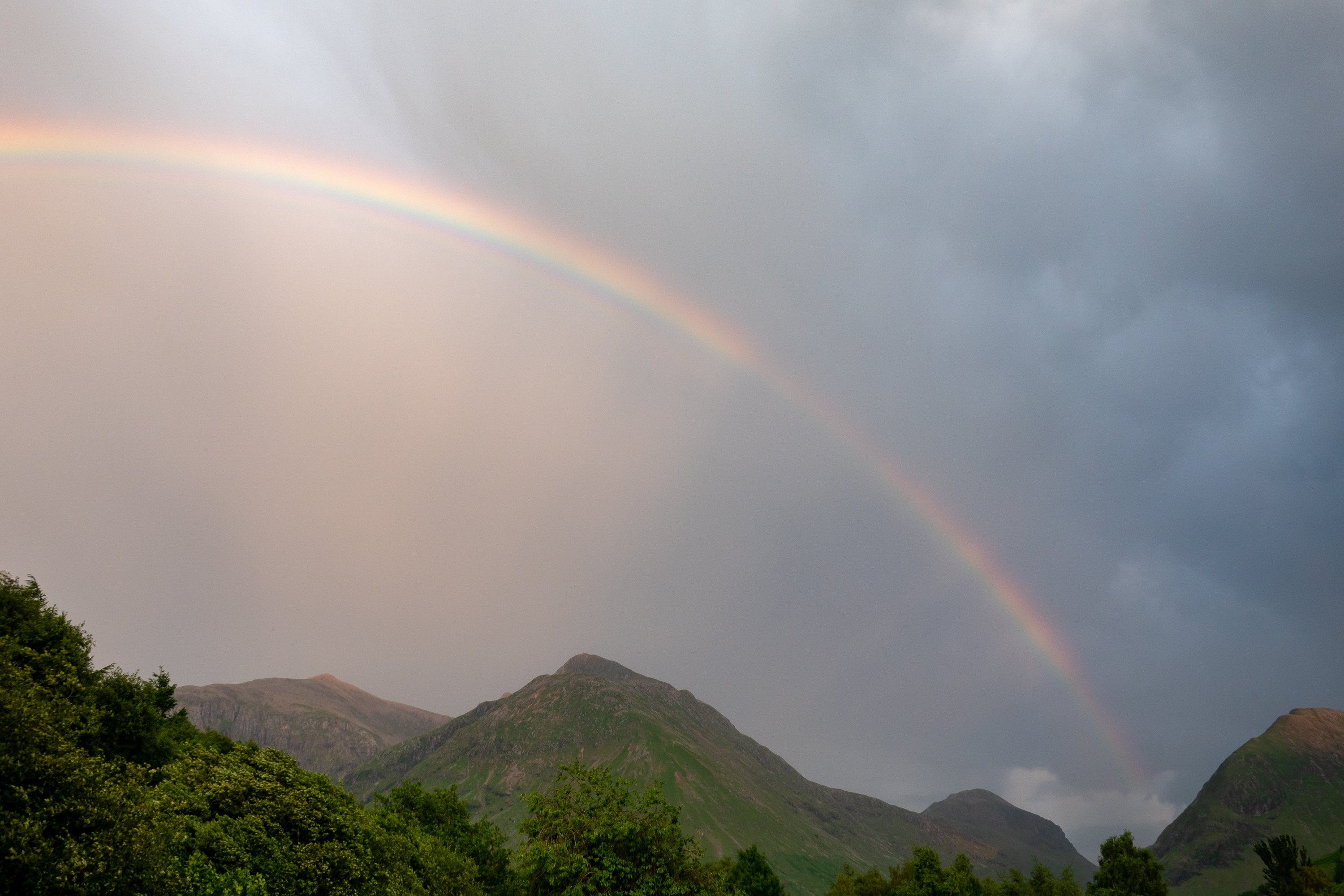
When the rain broke, we had a lovely rainbow.
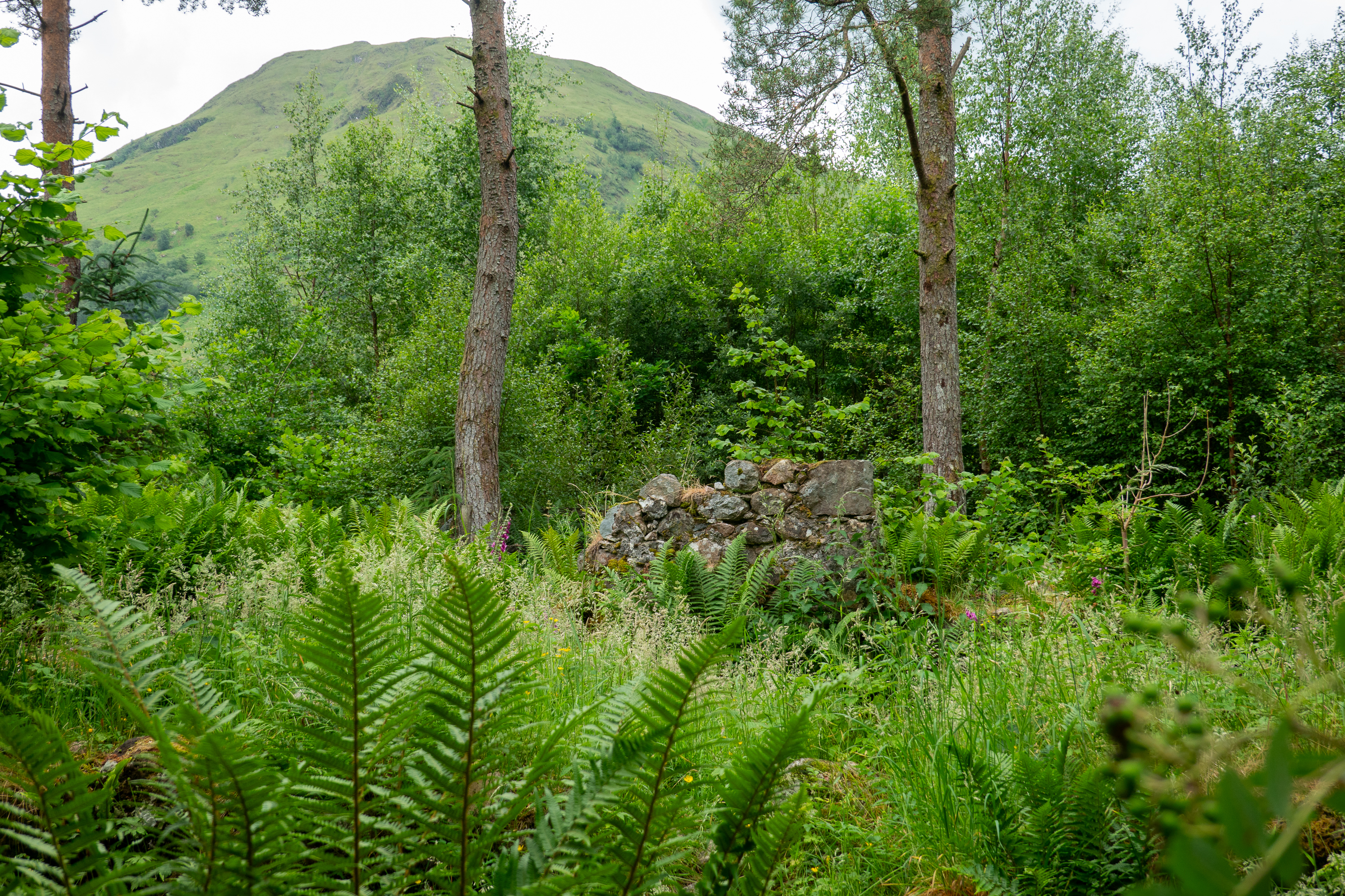
We also walked to the village and, quite by accident, stumbled on one of the massacre sites, hidden in the trees just off the trail.
An amazingly poignant site, all alone in the forest.
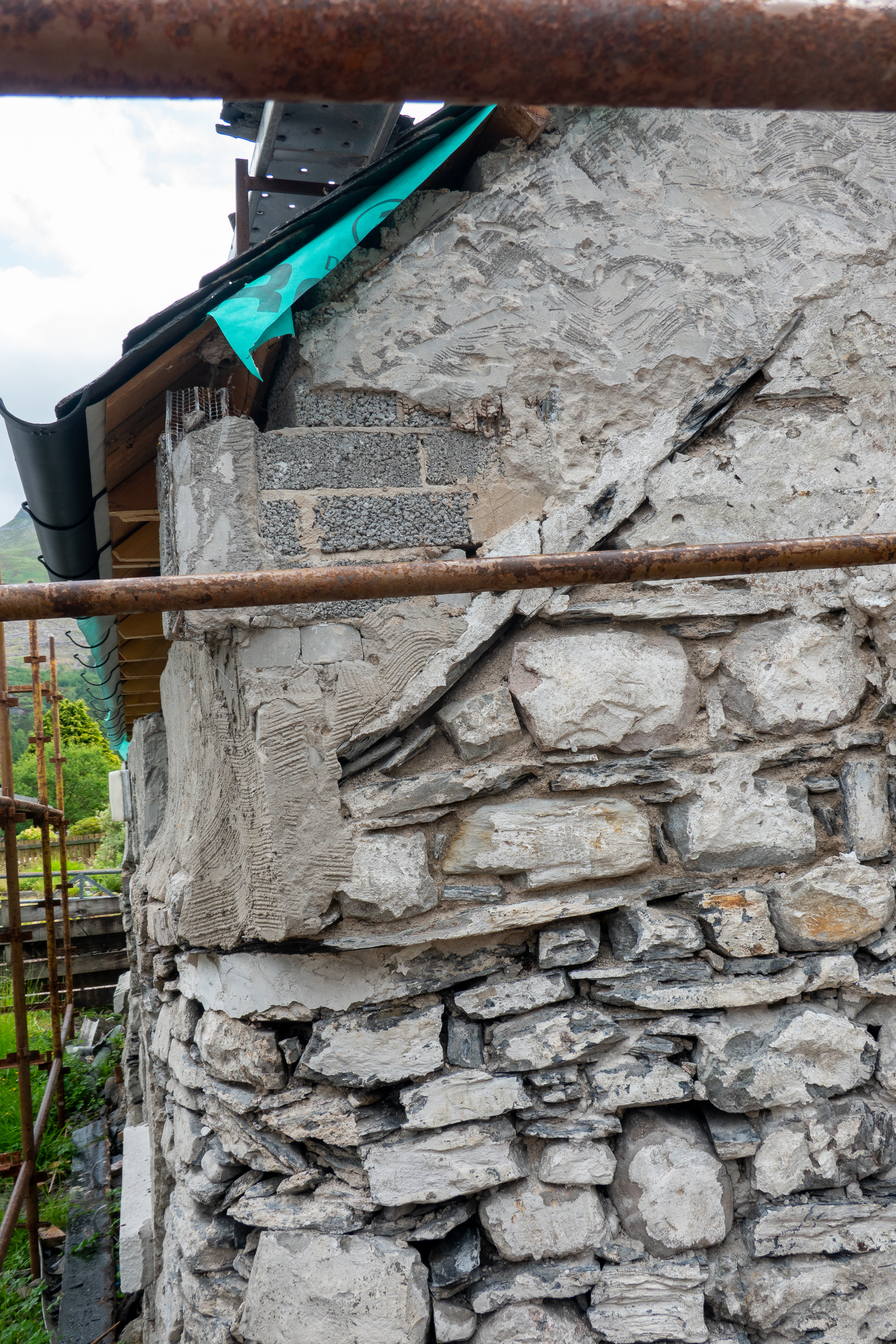
Glencoe village is tiny, but it was interesting to see ancient houses being expanded with modern cinderblock construction.
Upon leaving, we turned south through the Glen Coe Pass, a scenic drive through the mountains.
Beautiful Scottish scenery with beautiful Scottish rain. This was a sissy road, it had guard rails.
Descending the mountains we drove on to the Stirling area, stopping at a campsite below Witches Craig, with the Wallace (aka Braveheart) memorial in the background.
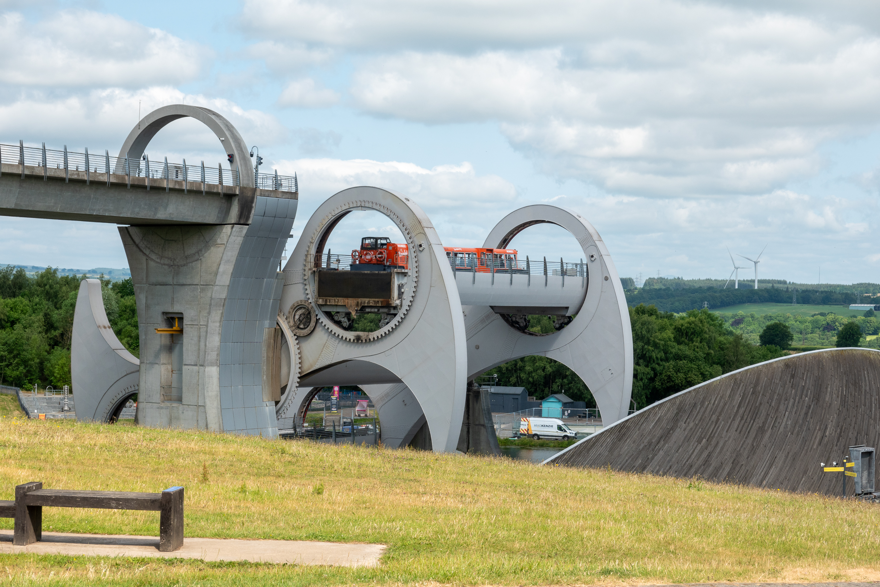
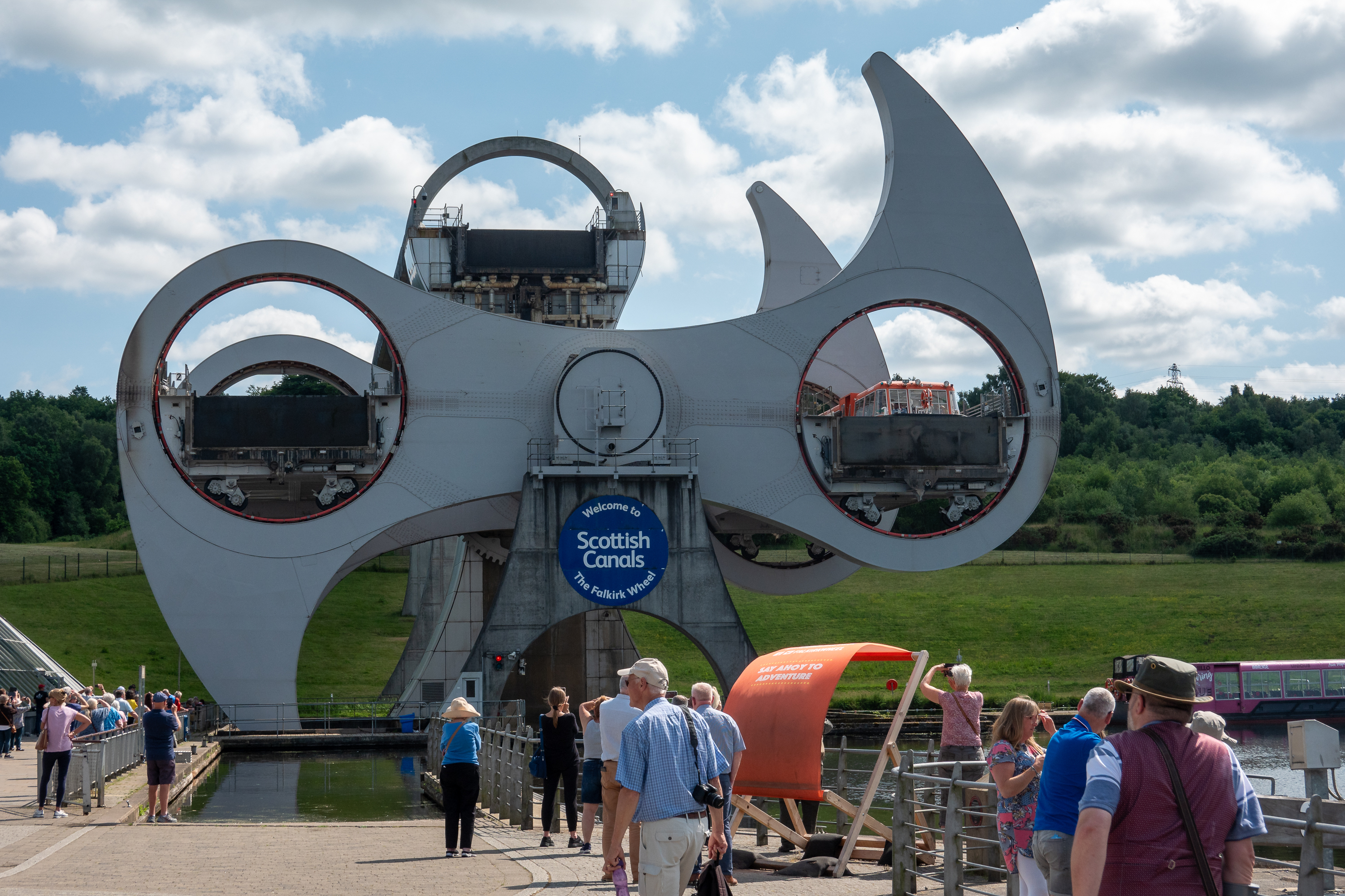
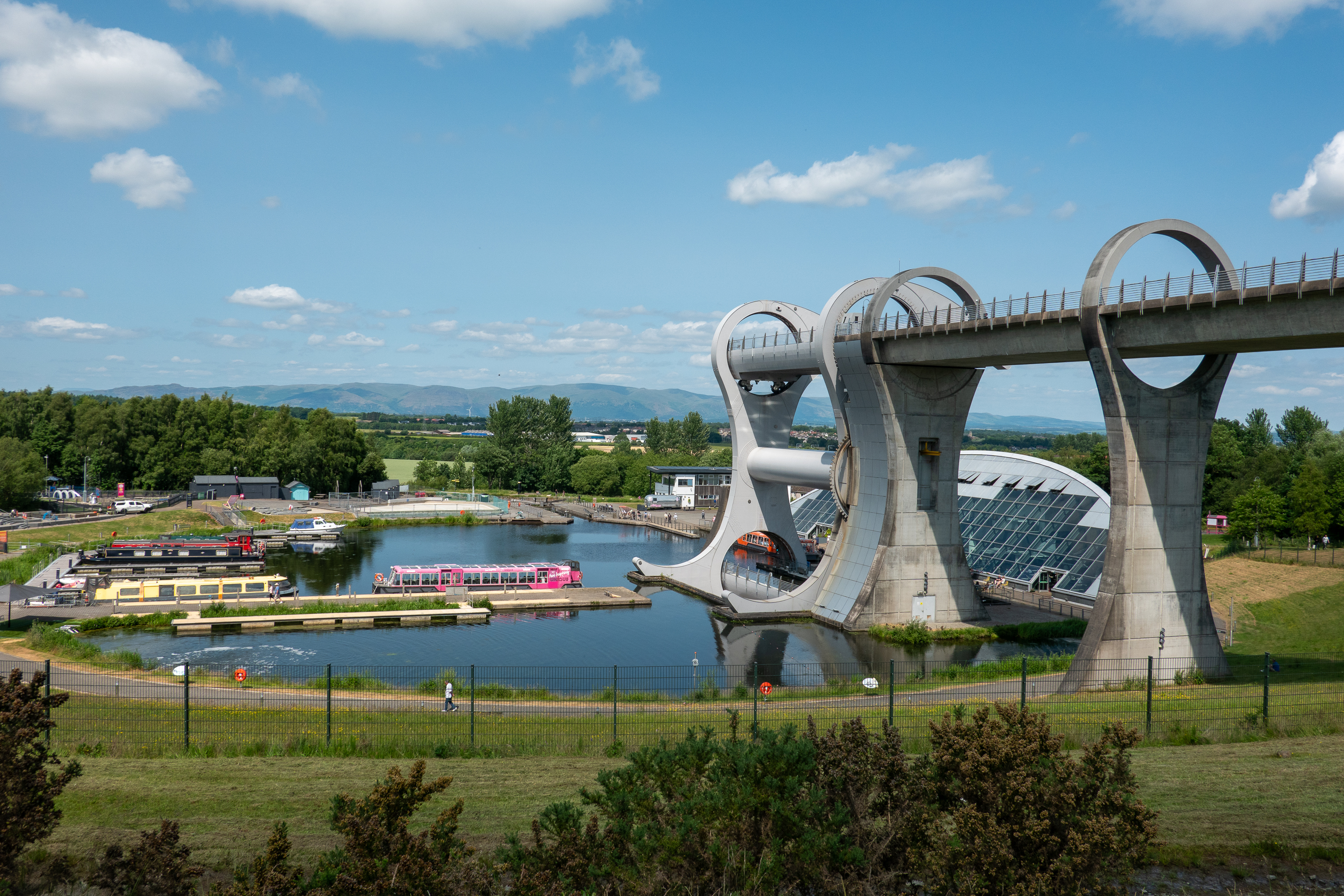
We had picked the Stirling area as Fred really wanted to see the Falkirk Wheel, an amazing device for lifting canal boats without the use of locks. We booked a tour so that could actually experience the lift and descent for ourselves. Fred also wanted to see the “Warwolf” but, alas, it was long gone. https://en.wikipedia.org/wiki/Warwolf
Wallace Memorial
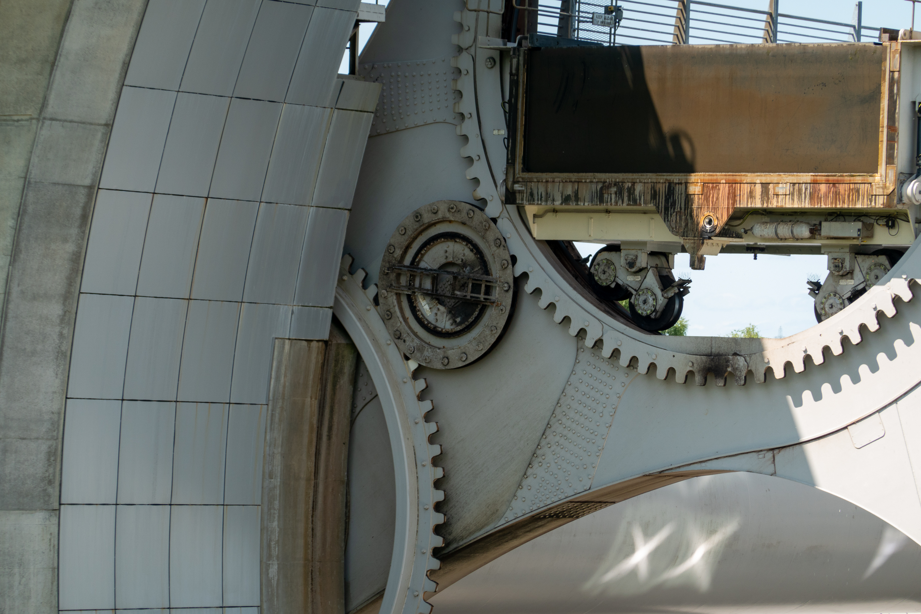
Gears keep the gondolas level.
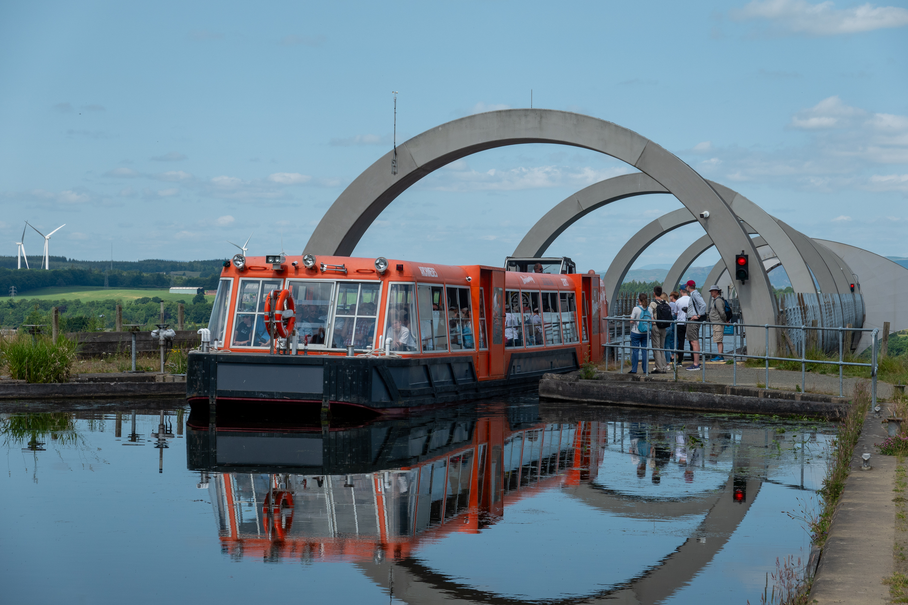
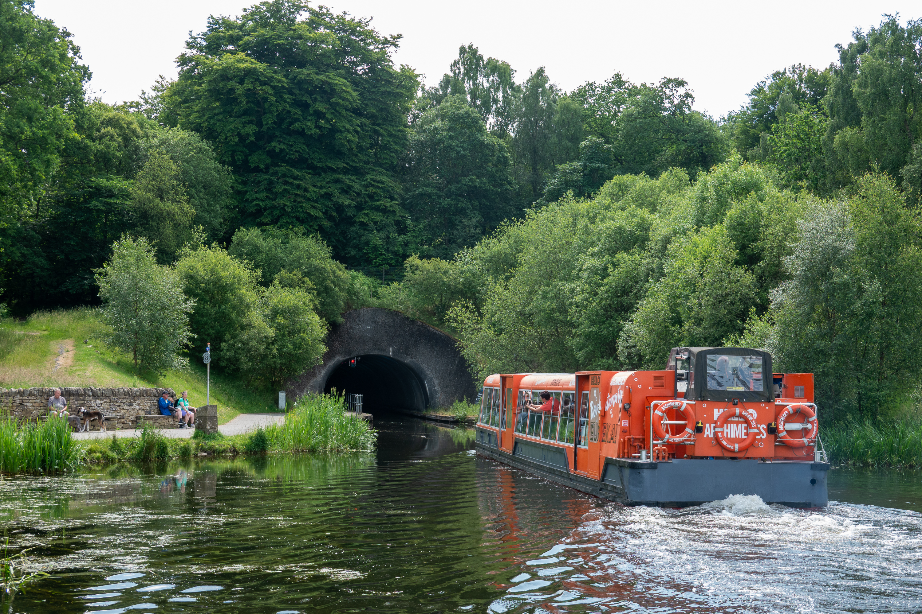
Sailing out at the upper level.And into the tunnel which goes under the Antonine Wall.
The lower basin leads out to the Forth and Clyde Canal.
Basically, the wheel works on the Archimedes principle of displacement – each of the two gondolas, filled with water, always weighs the same amount as a boat displaces it own weight. Thus it takes very little energy to turn the wheel as it is always balanced. https://en.wikipedia.org/wiki/Falkirk_Wheel
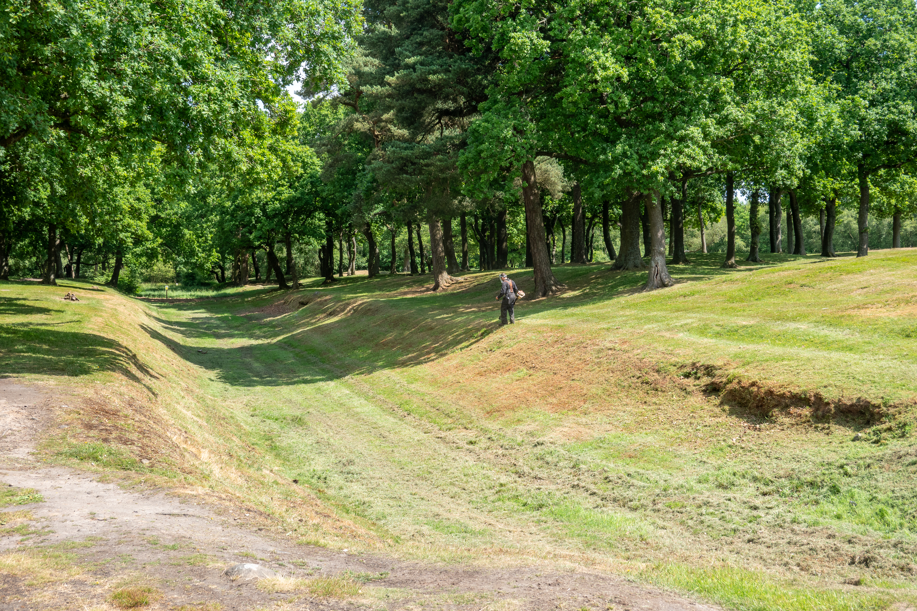
Readers of our blog will note our obsession with Hadrian’s Wall. But Fred had always wanted to see the much less known Antonine Wall. Built by the emperor Antonius Pius, it lies to the north of Hadrian’s Wall and was mostly earthworks. (History nuts are like that.) https://en.wikipedia.org/wiki/Antonine_Wall
There is very little left of the Antonine Wall and it is notoriously hard to find, so we were amazed to learn that we had actually stumbled on what was reported to be the best site to visit. We HAD to go! We set off to walk the couple of miles though the trees to see it.
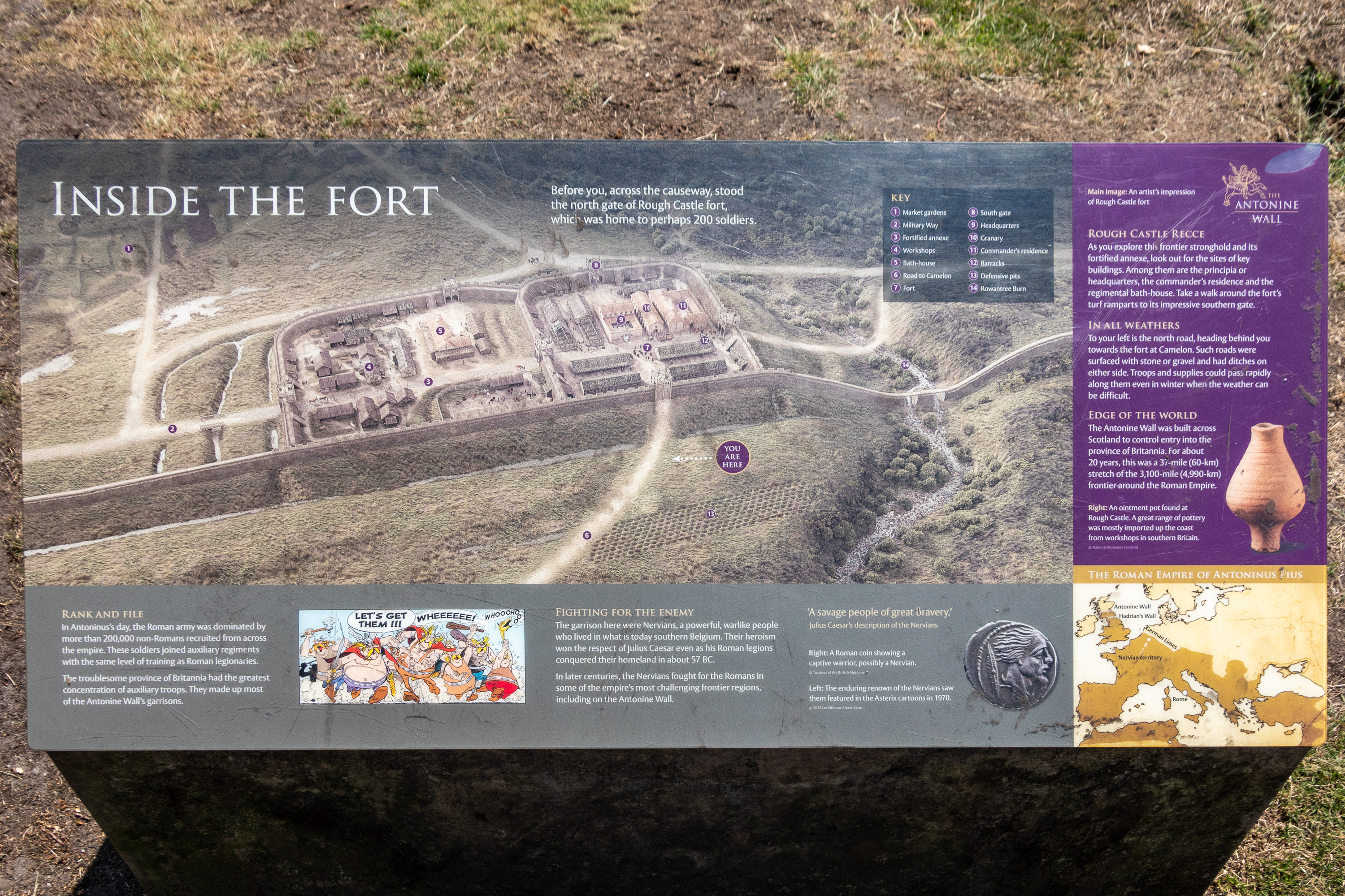
There is a lot less there than at the various Hadrian’s Wall sites, but we could see a plan of the fort with various remnants and the ditch surrounding the fort.
Classic Roman design, dig a ditch, pile the dirt up behind, and drive wooden stakes into the earth,
Like Hadrian’s Wall, the wall was manned mostly by auxiliary troops, this time from Gaul.
You weren’t going to be able to charge across this.
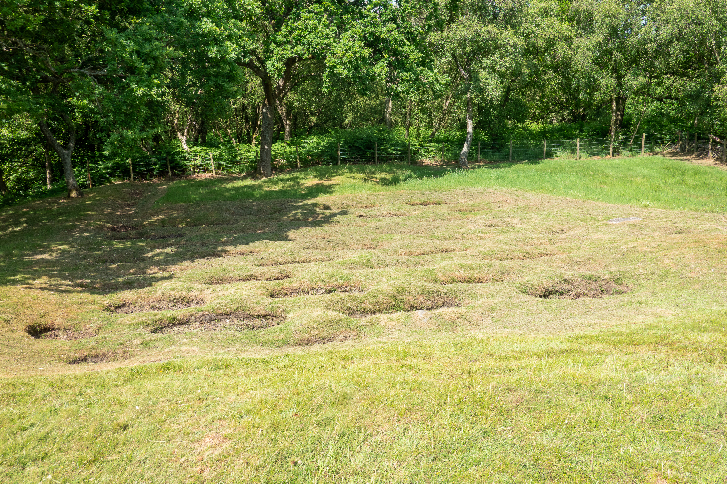
Also visible were the pits for protective pointed stakes, an early form of barbed wire. The wall was apparently attacked several times and destroyed before being finally abandoned. There were excellent explanatory boards in various spots. It is amazing what can be determined with careful study – most of us would simply see some rocks in a field.
What you actually see before excavation.
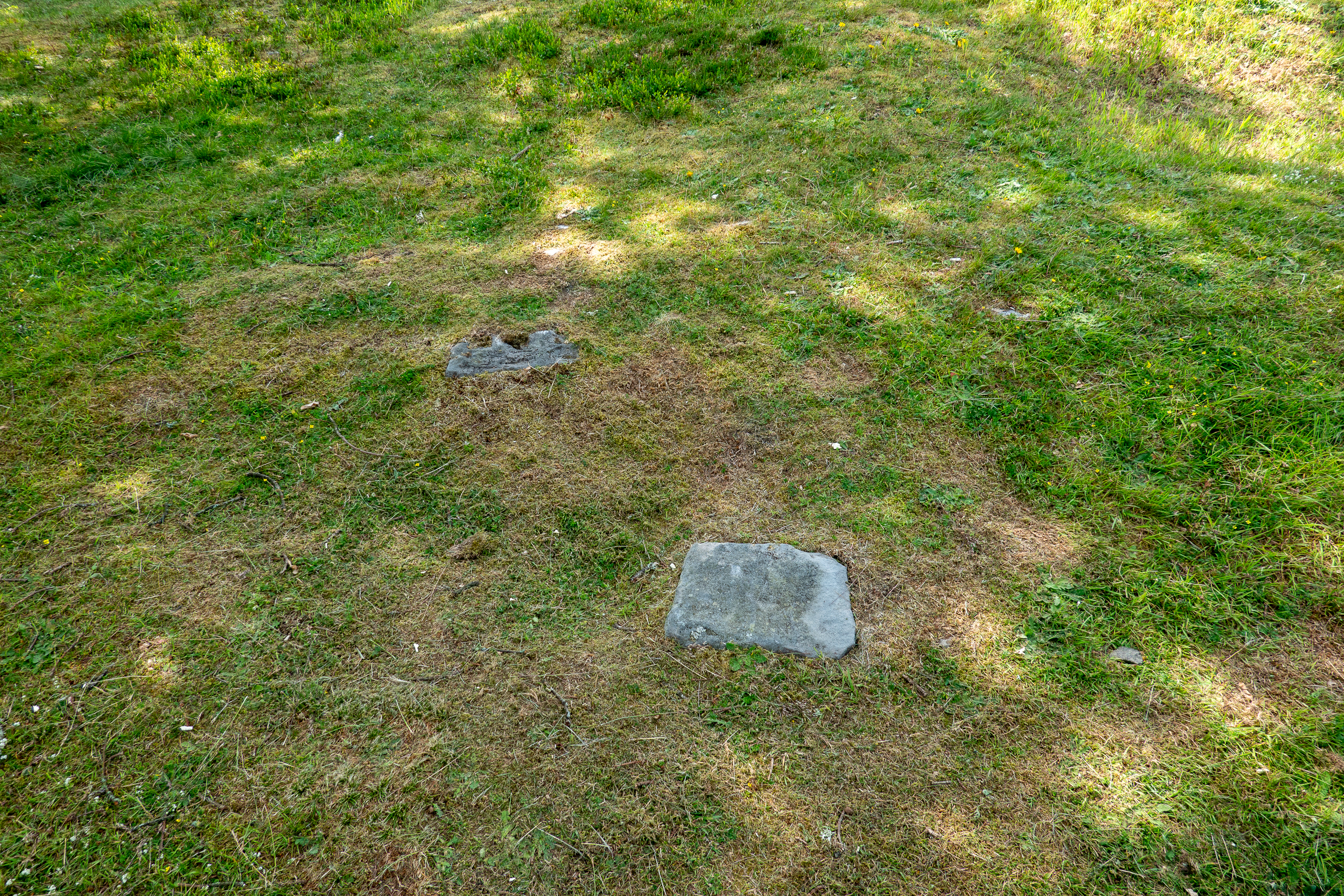
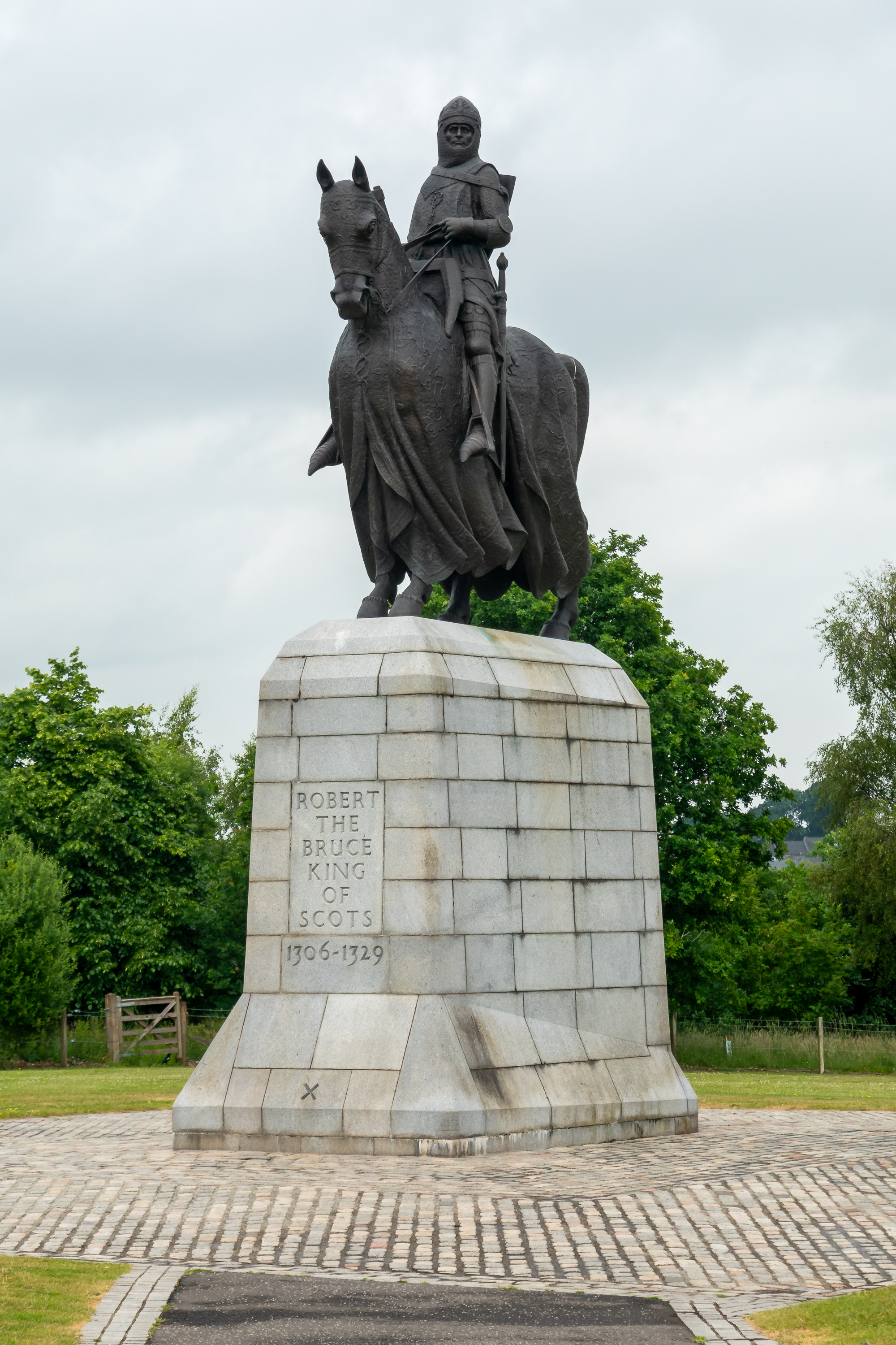
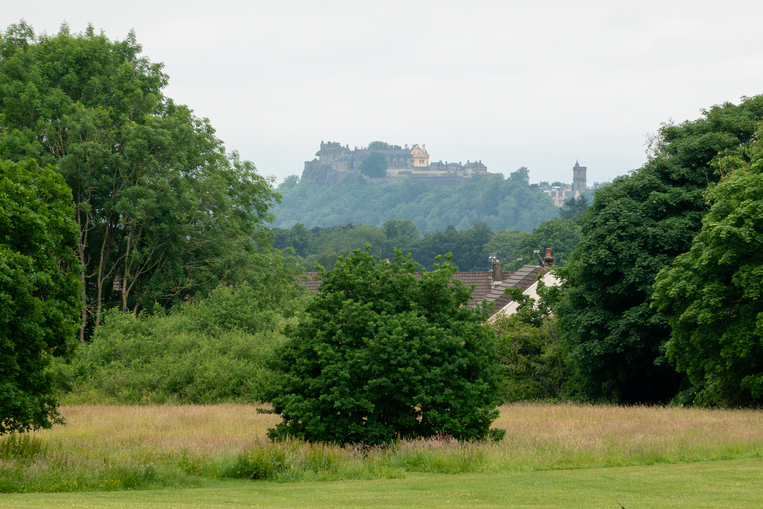
We stopped next at the Battle of Bannockburn site. Far from being the tourist trap we feared, we thoroughly enjoyed an excellent historical presentation of the causes of the battle and its political results. The guide was superb and was able to answer many off topic questions. We walked as much of the battlefield as we could (a lot took place in the back gardens of the local houses) but we could walk where Robert the Bruce stood to see the progress of the battle.
Stirling Castle from the Bannockburn site.We have spent so much time at Farmer Jack’s site in Settle, that we are feeling quite proprietary. (Jack told us that didn’t need to worry about reservations – just show up!)
Scholars debate. Is John o’Groats the end of the road north, or the beginning of the road south? Worth noting that if you were coming from Norway to pillage or settle, you would have sailed south to get here and John o’Groats would have been the beginning of the main land.
So, with no more road ahead of us, we set out to explore the rather small center of John o’Groats.
Denise finds a horn to blow!
We walked along the cliff for a ways and then returned for an ice-cream and a photo session in front of the well known signpost.
Those achieved, it was time for whisky. And we headed for the 8 Doors Distillery, so named because of the legendary 8 door house of Jan de Groot. (https://www.8doorsdistillery.com/ )
Unfortunately the distillery was only founded 2022 so has yet to produce a whisky that has fully matured for sale. But they are working on it! In the interim they had some blends from other distilleries for us to try. We decided that we disliked the heavy peat flavor that is a characteristic of many Scotch whiskeys. And so, it appears, do the owners of 8 Doors. Kind of exciting to be present at the creation. They invited us to come back in a decade or so … It was sunny, gloriously sunny, but windy, as cliff locations often are, so it was soon time to return to the camper.
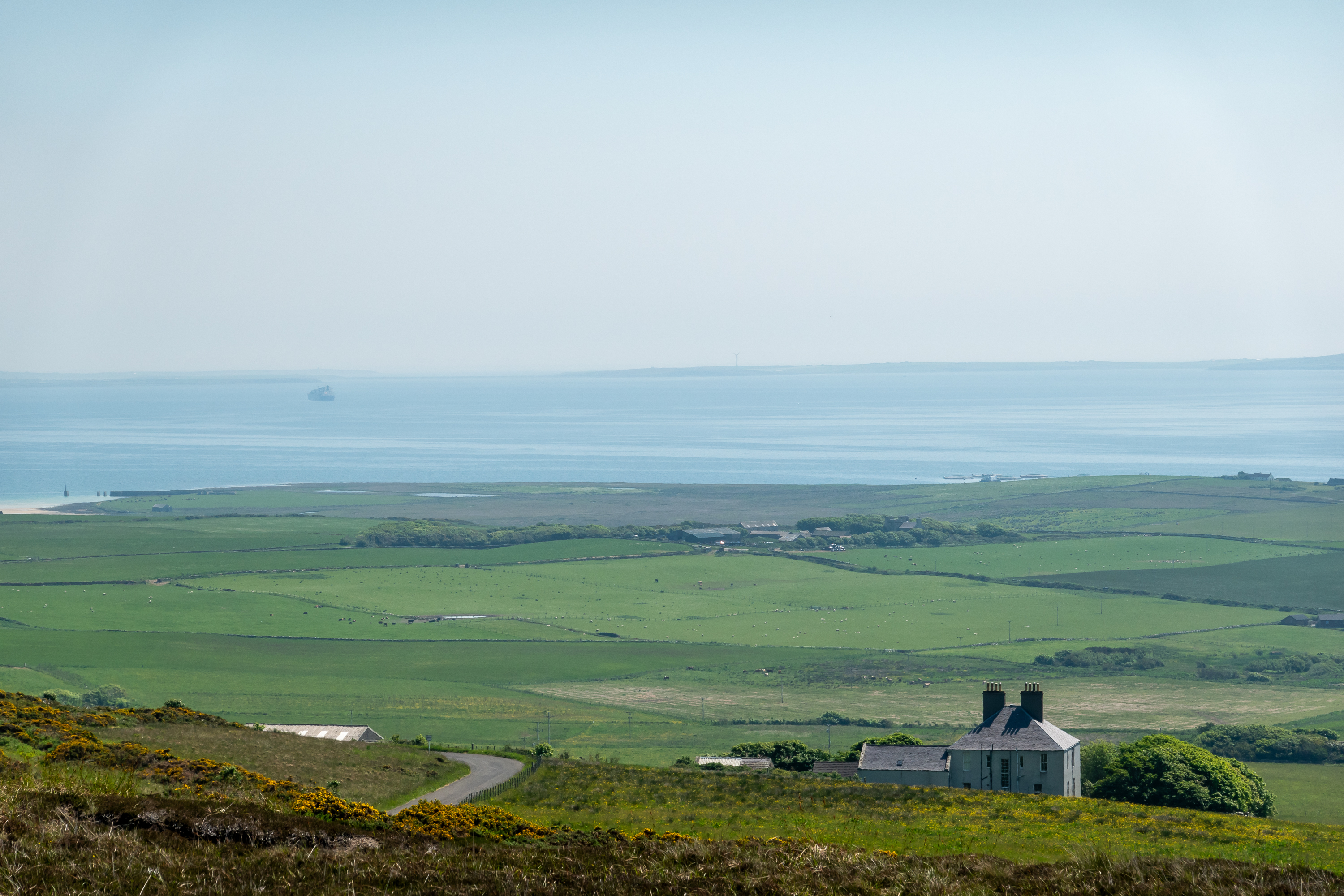
Rather than ship the truck to the Orkneys, we had decided to simply take a day tour. So, the next day, we walked to the pier for the 40 minute ferry crossing to Burwick in the Orkneys.
Once we landed, buses were waiting to take us over the Churchill barriers to Kirkwall, the capital city. (https://www.orkney.com/ ) The drive is a treat for Royal Navy history fans as it circles Scapa Flow, the site of the fabled Royal Navy base.
A lonely tanker in the harbor.
Hard to imagine today, but at the beginning of the twentieth century one could see a hundred ships of the Grand Fleet filling the bay.
USS Wasp at Scapa Flow in 1942 (Note the barrage balloons)
During the first World War, the Royal Navy sank block ships in some of the channels to prevent a surprise attack. During the second World War an intrepid U-Boat commander slipped past the block ships and sank the battleship Royal Oak which was at anchor. After this appalling loss of life, Churchill ordered a cement and earthen fill be added over the block ships to completely block the channels. (https://en.wikipedia.org/wiki/Scapa_Flow ) Today’s road runs over three of them. During winter storms, these barriers are quite dangerous and they can be closed to traffic.
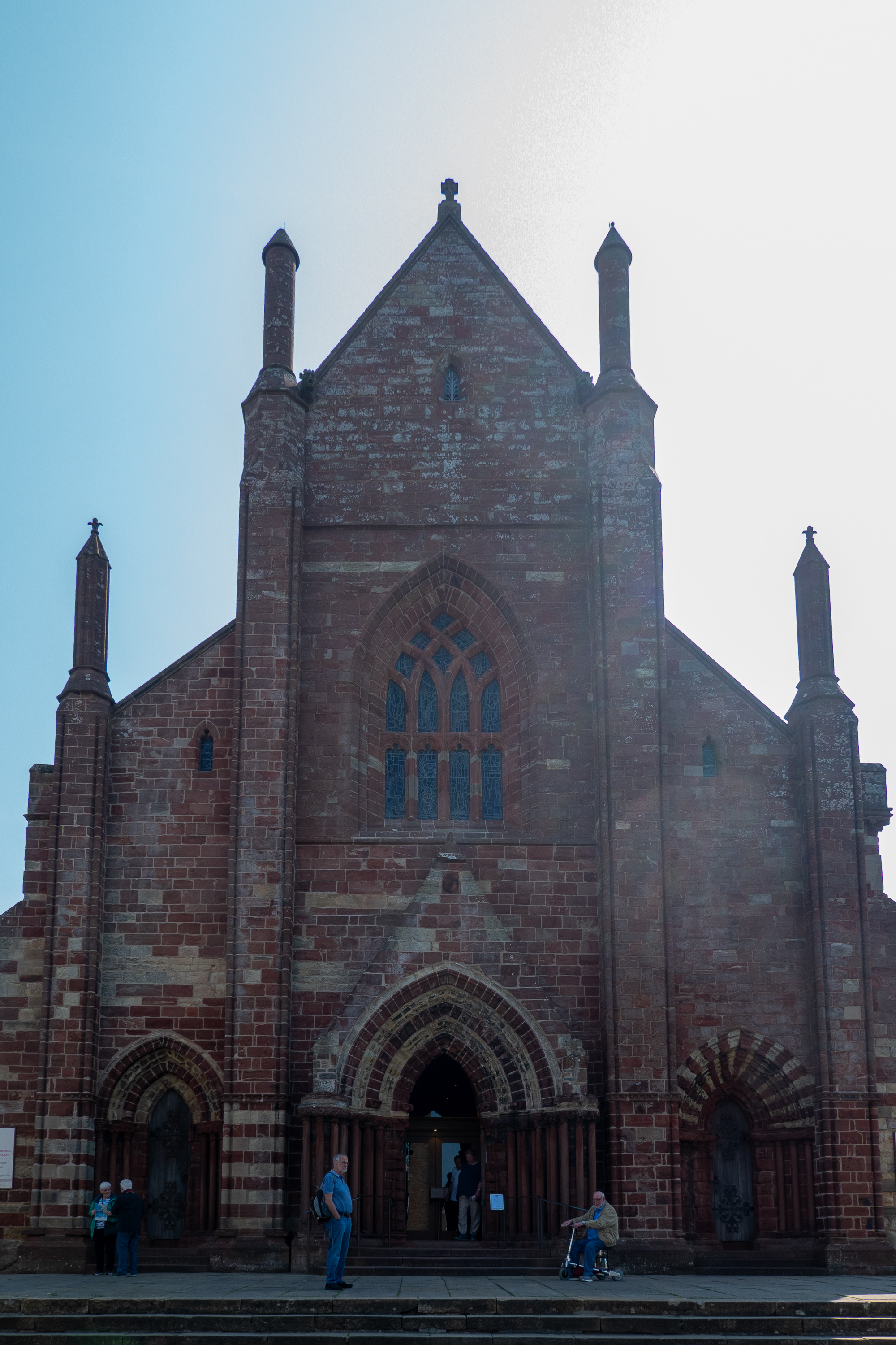
Our first stop in Kirkwall was a much needed cup of coffee in the local town hall coffee shop. Thus refreshed, we enjoyed a lengthy visit to St. Magnus Cathedral, which was quite fascinating in its Norse characteristics rather than the Norman/Medieval styling one sees all over the UK. Subtly different, everywhere we looked.
The cathedral dates from 1137 and is named for Magnus Erlendsson, Earl of Orkney, who was murdered by his cousin. Stories grew up of miracles at the grave of Magnus and he was considered to be a saint. A casket of bones found during a 1919 restoration is believed to be his. The cathedral was part of the Archdiocese of Nidaros, part of Trondheim in Norway until after 1468. St. Magnus is the only cathedral, that we know of, with a dungeon. Lots of great reading here: https://sites.scran.ac.uk/stmagnus//index.htm
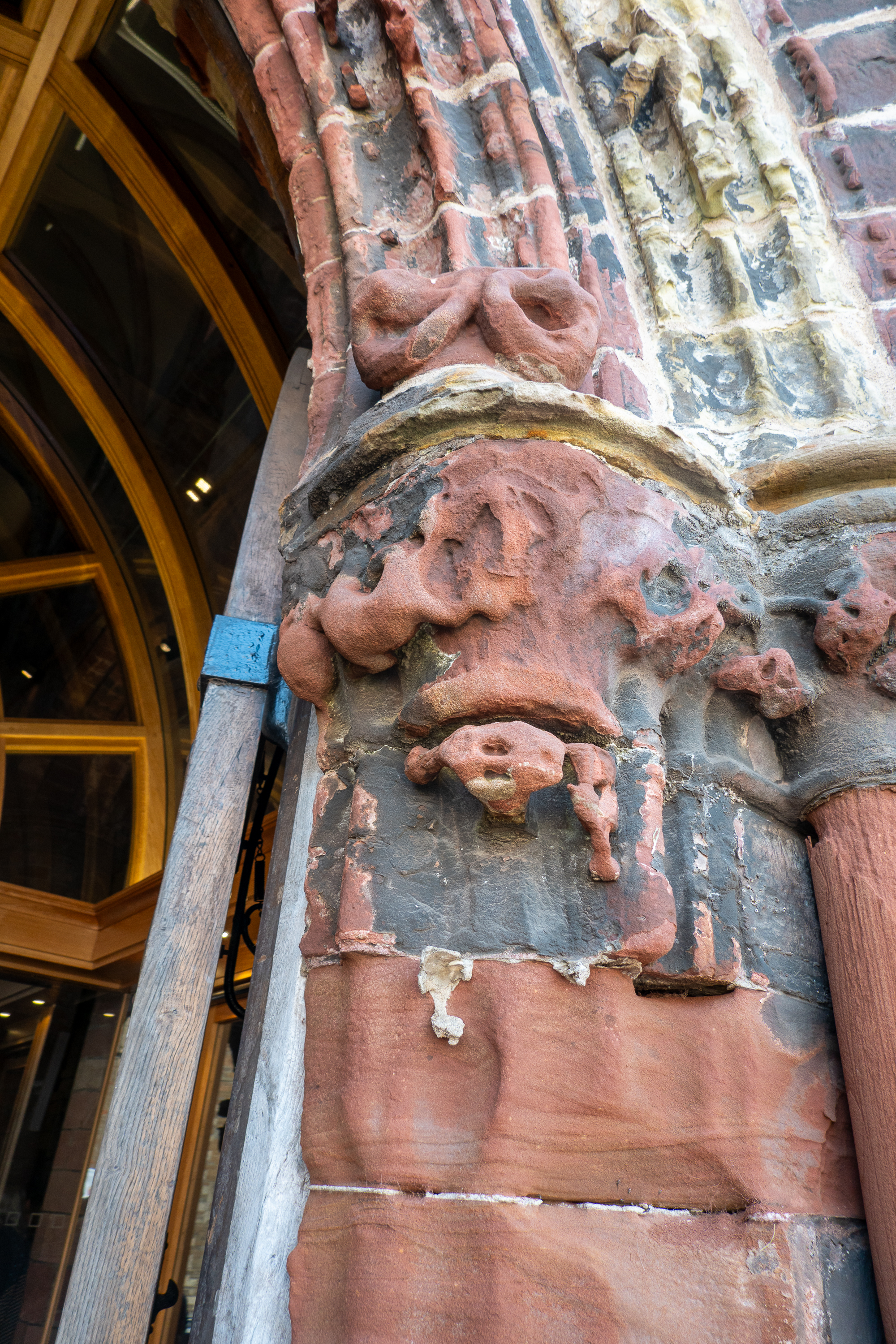
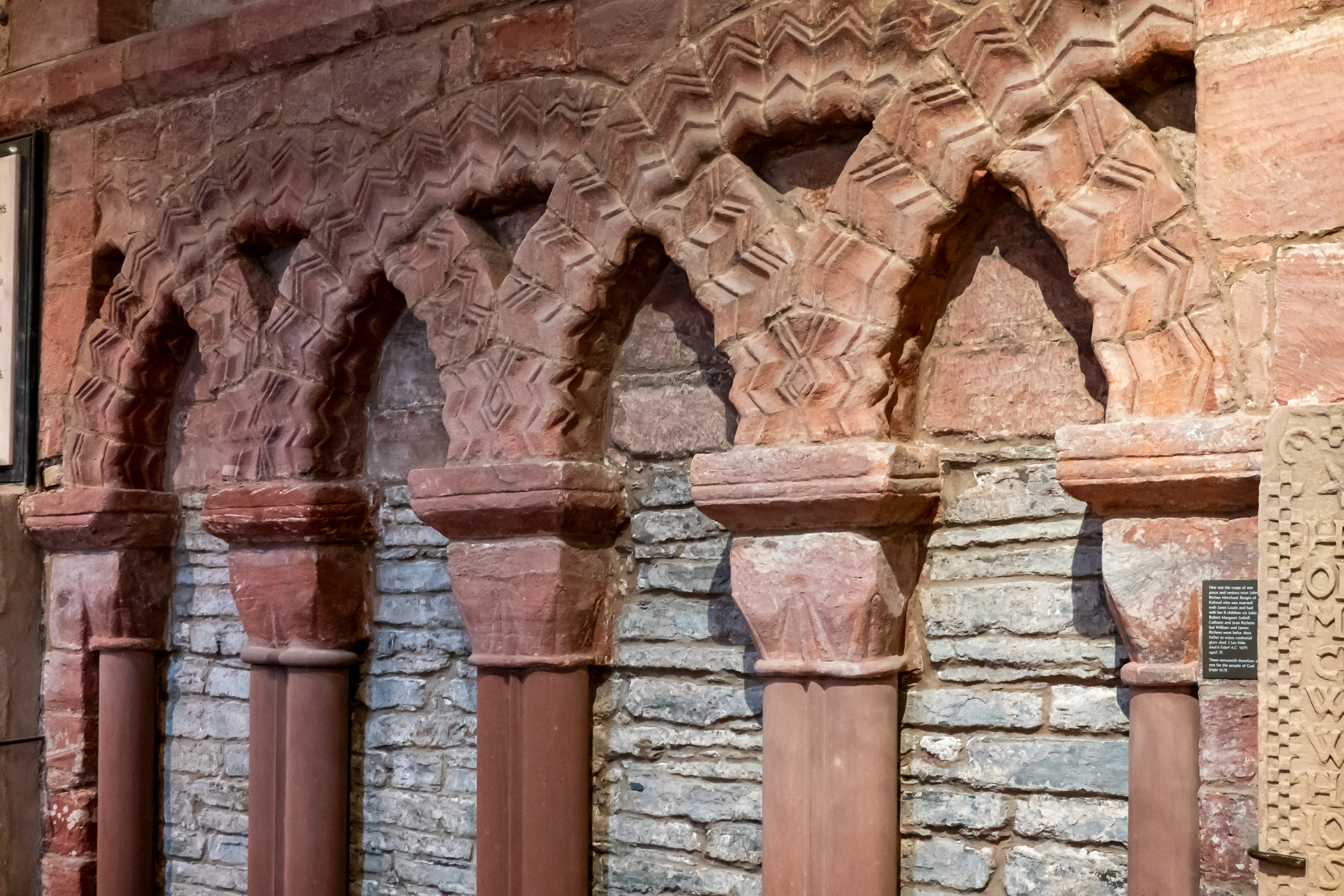
The crossing. If the goal was to draw your attention up to Heaven, they succeeded.The interior has, at various times, been painted and then lime washed to cover “Papist” decorations, and then wire brushed to “restore” the church. But the red sandstone is simply beautiful.
Wild ancient tombstonesSt. Magnus, seen past the ruins of the Bishop’s tower.
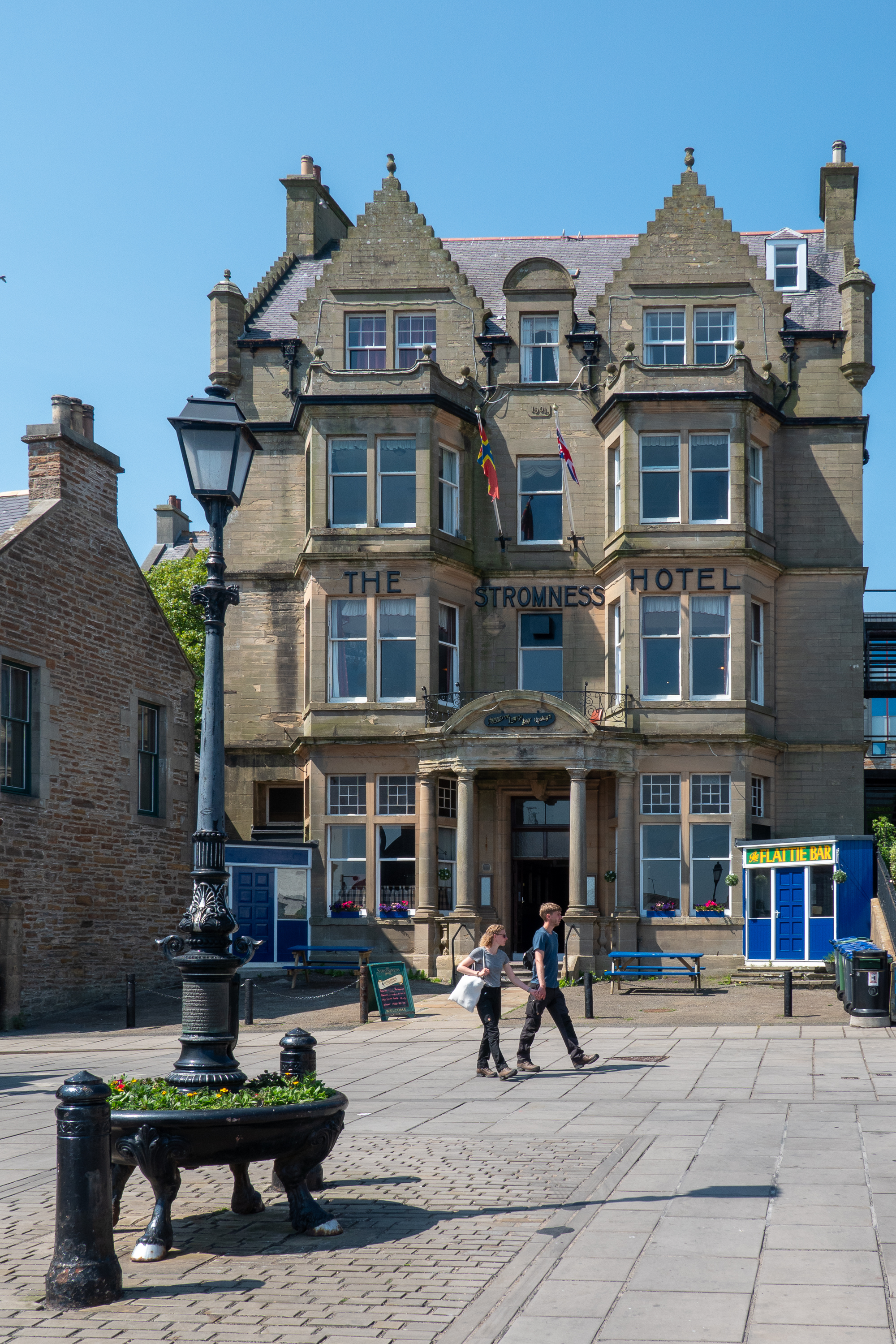
We also wandered the grounds of the Bishop’s Palace and the Earl’s Palace. Both are currently very much in ruins but the grounds were interesting with information panels at various spots. Finally, we went to the art/craft show in the same town hall. Denise regretted that she had no space to carry back more wool as there were some wonderful offerings! Back on the bus we headed for lunch in Stromness. We went low brow and bought lunch goodies at a bakery, recommended by our driver, and ate them on the waterfront, by the docks. We finished with an ice-cream! Yes, there is a pattern here.
The step motif on the gables appears on many buildings.
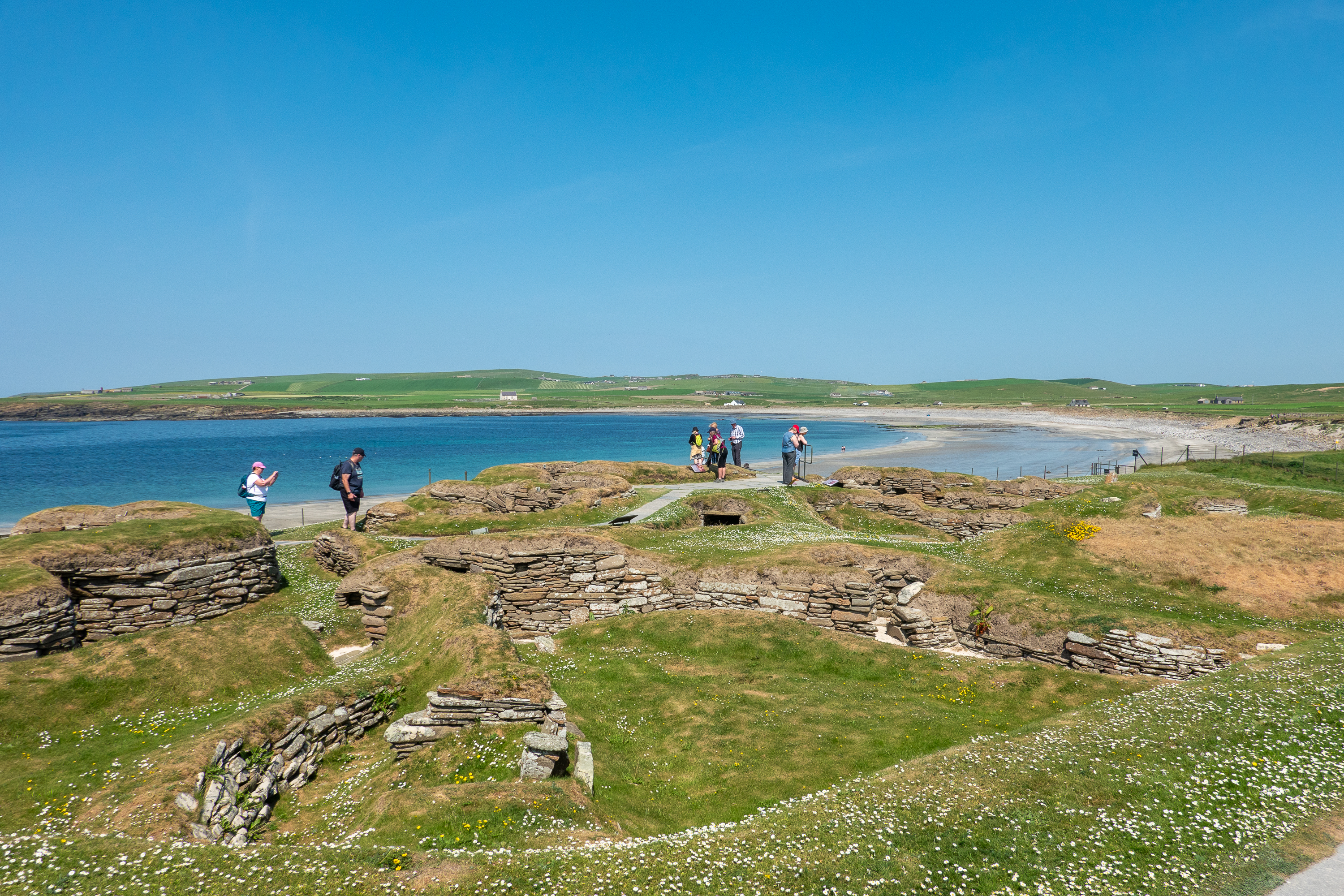
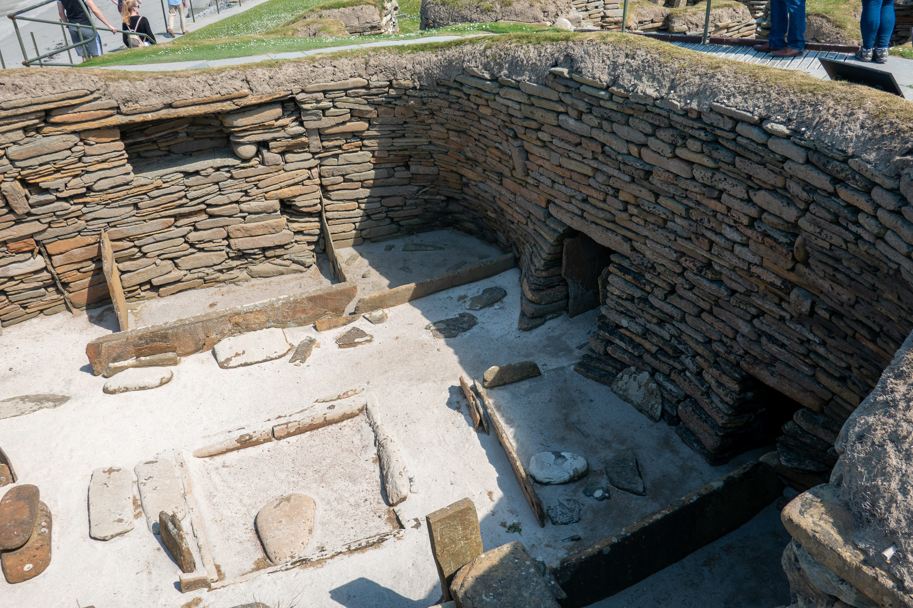
Uncovered during a major winter storm, the ten stone dwellings were absolutely fascinating. They were occupied over 5,000 years ago. The stone built furniture is preserved and clearly visible. Cupboards, beds and boxes are all intact. We were told that the sea was originally quite distant from the dwellings although now they are on the edge of a cliff. There are probably more dwellings that have not yet been excavated.
A recreation, to be sure, but most interesting.
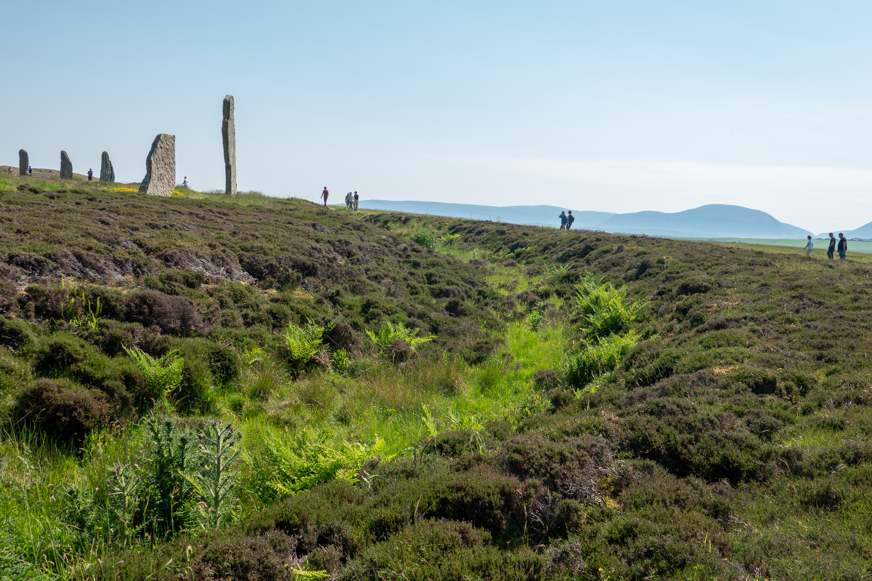
We then headed to the standing stones henge forming the Ring of Brodgar.
This is a vast circle of 36 standing stones, built 4,000 years ago. There may have been as many as 60 stones originally. No one knows why this was erected or what role it played.
It is easy to forget that the earth works were as complex as the stones themselves.
Our final stop was the Italian Chapel. Our guide explained the history of this and especially how it was constructed. It was built in 1943 and it is really quite amazing that Italian prisoners of war could construct something so beautiful out of bits and pieces lying around. It is maintained following an agreement with the prisoners when they were returned to Italy and one of the main creators returned later to see it again.
The station of the Cross carving is wood, but look closely – the “stone work” is all trompe d’oeil.
The Altar You can see the curve of the Quonset hut.
St. George – made out of barbed wire, covered with plaster.
After this excellent tour full of local tidbits and charm, we returned to the ferry and John o’Groats.
Leaving Edinburgh, we set out through the Cairngorm mountains towards Inverness. Our final destination was John o’Groats. Why John o’Groats? Well, because everybody wants to start or end every trip there and, more practically, you can take a ferry to the Orkney islands.
But first, we stopped at the village of Dalhwhinnie. Why? Because a local coffee shop offers free overnight parking for motorhomes. (https://apiarydalwhinnie.co.uk/) The Apiary was charming, but sadly does not serve dinner. So we had to content ourselves with a coffee and learned that Dalwhinnie has the lowest average temperature in Scotland, and probably the UK. OK, off our list for retirement homes. But we had a sunny day and sat out to enjoy it and admire all of the touring cyclists who were stopping for drinks and snacks.
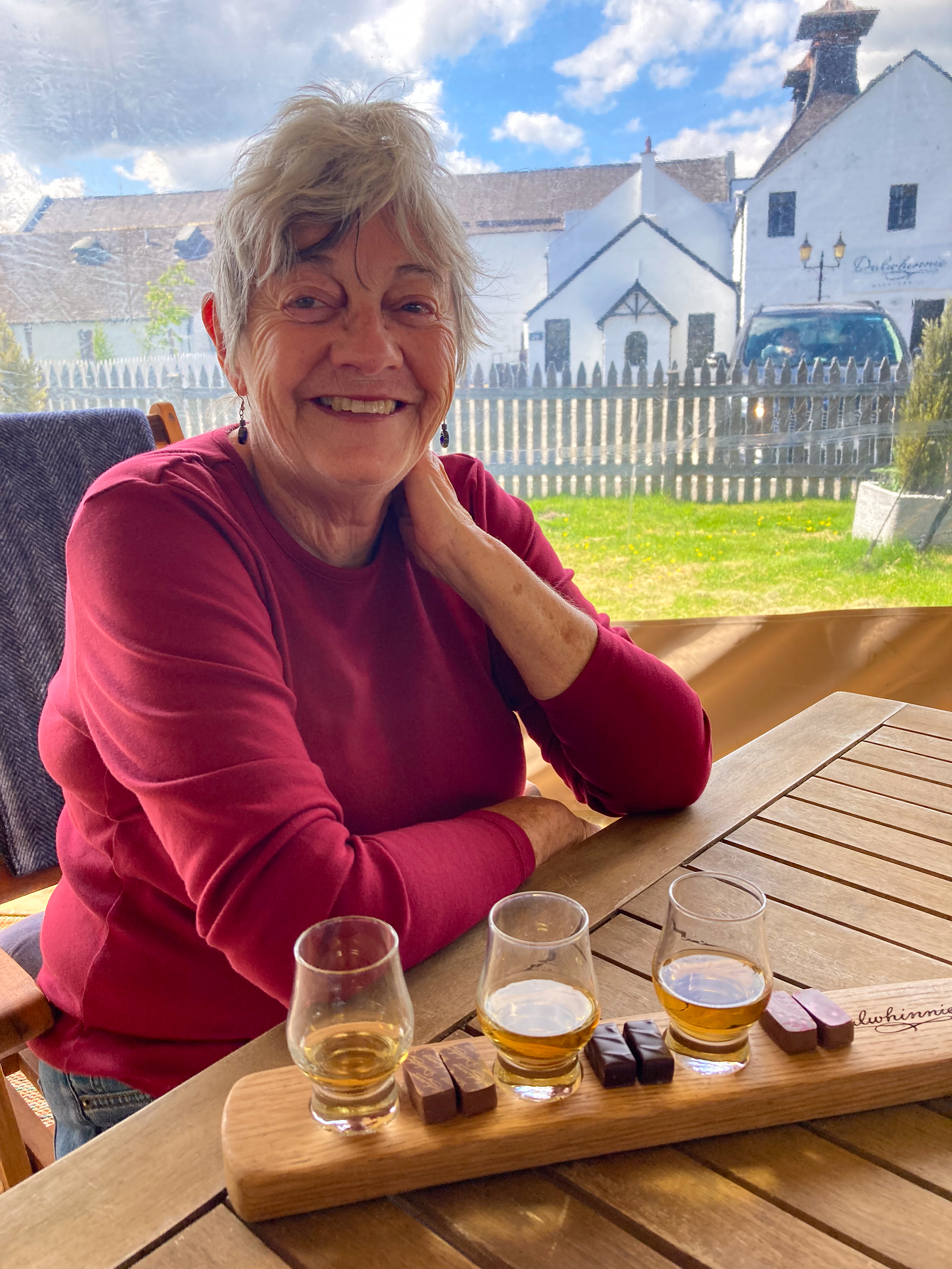
We walked down the road to the Dalwhinnie distillery. Here too, we were too late for a tour, but we did have a wonderful tasting, complete with chocolates. (https://en.wikipedia.org/wiki/Dalwhinnie_distillery)
It was only later that we discovered that Dalwhinnie is favored by many of our friends who actually know Scotch whiskeys, and, after visiting more distilleries ourselves, we really regretted not having bought a few bottles!
Next up was Inverness, the “Gateway to the Highlands.” We wanted to visit the Culloden battlefield because Bonnie Prince Charlie and the whole Jacobite saga so command popular imagination.
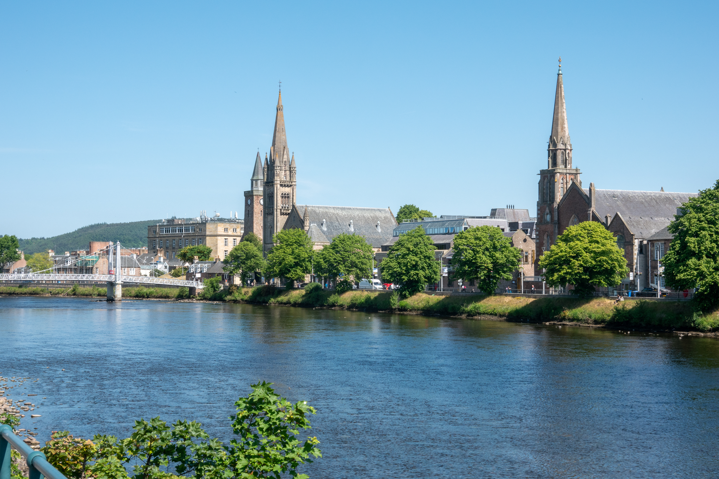
Inverness is not as quaint as some Scottish cities but the area along the river is beautiful. We had a great time raiding the woolen shops.
Inverness riverfront
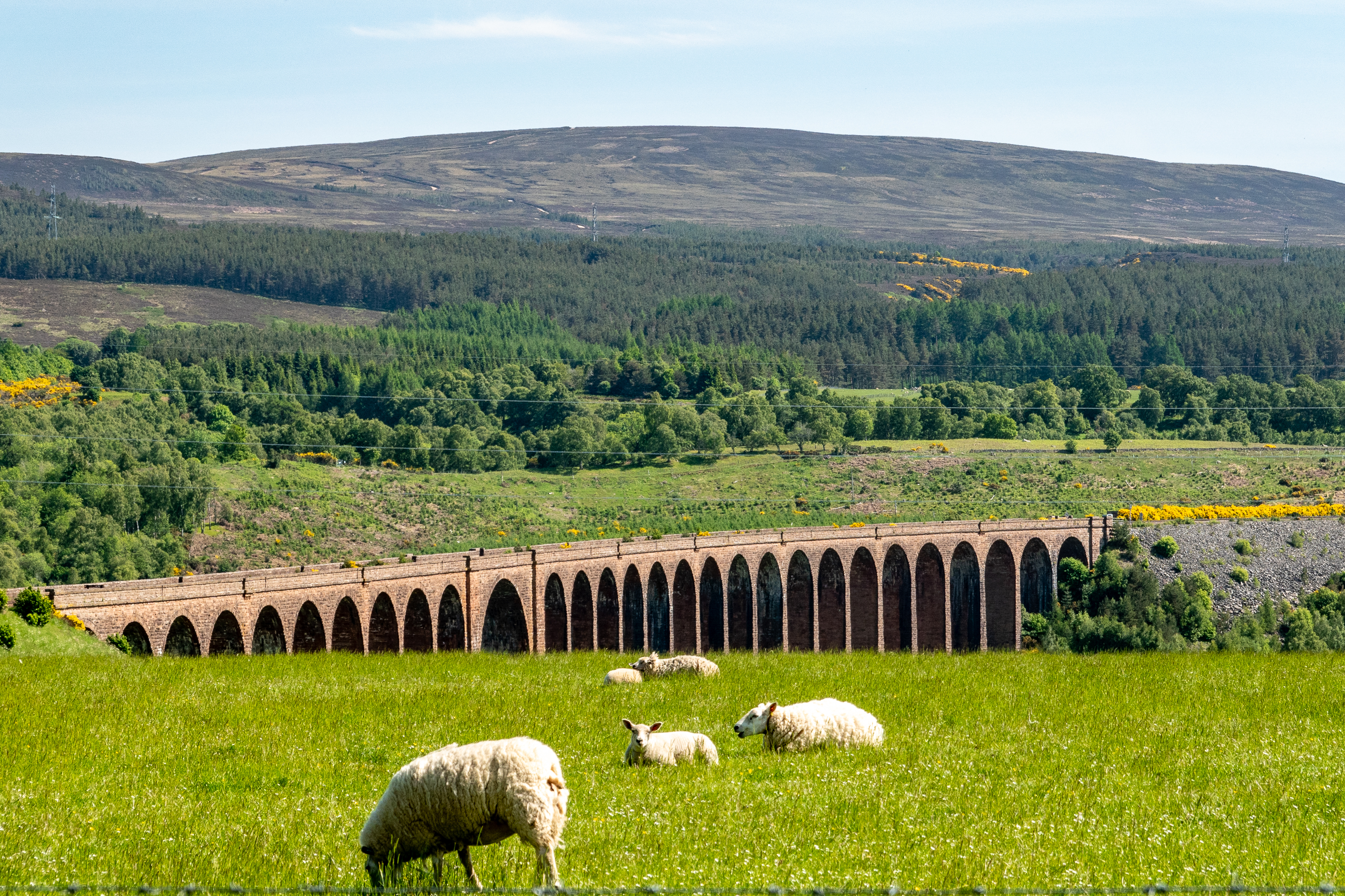
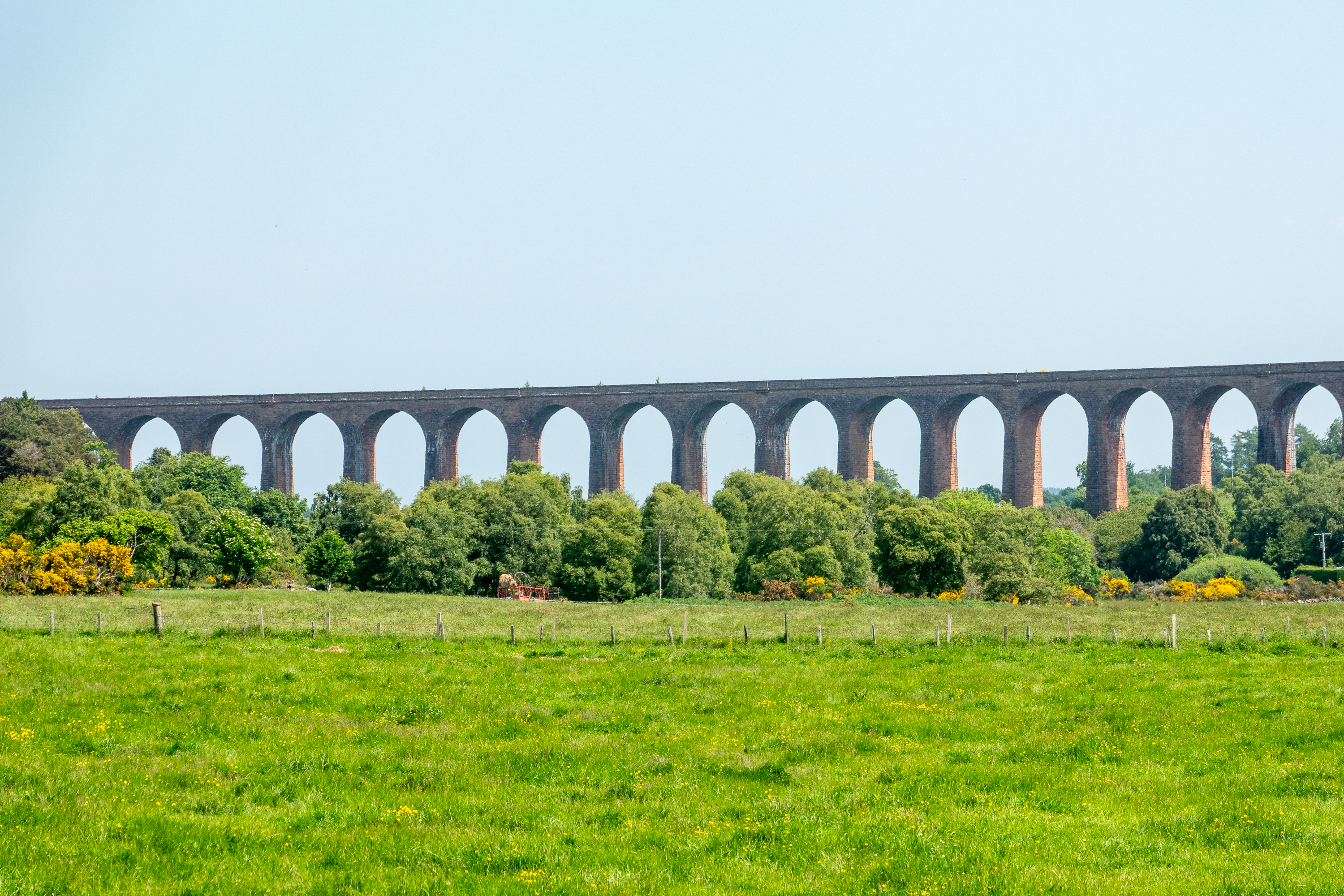
Lots of people will have noted the “Harry Potter” viaduct, which is certainly spectacular, but the simple fact remains that the Victorians built dozens, if not hundreds of amazing viaducts all over the country. Just down the road from our campsite is the Culloden Viaduct. At 1800 feet, it is the longest masonry viaduct in Scotland, and it doesn’t even merit a sign. We found it quite by accident, simply by looking out the window.
Opened in 1898
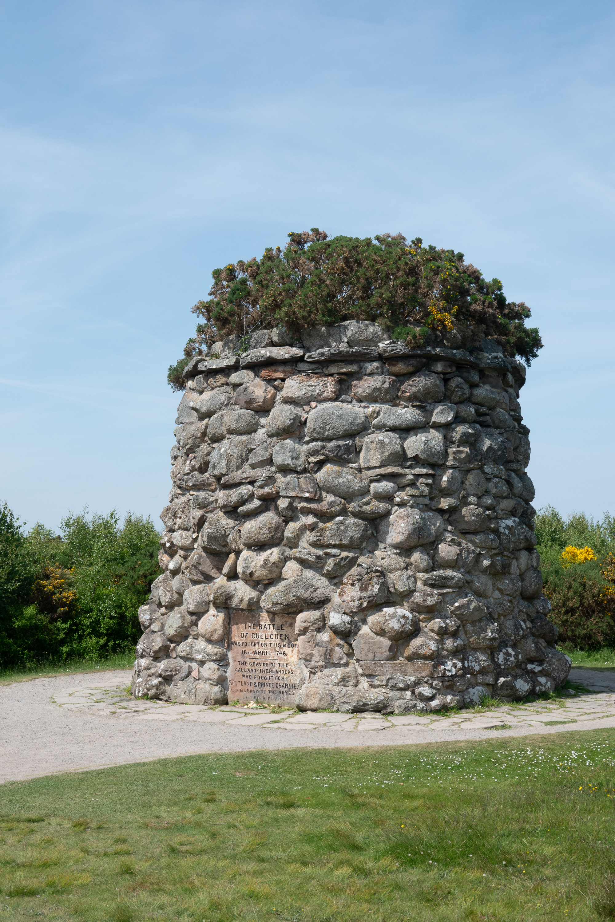
Color us Jacobite skeptics so we were thus pleased that the guide book to the Culloden site begins with a chapter on the “myths of Culloden.” The political background to the battle of Culloden is critical reading for Americans, as our Founding Fathers were keenly aware of the necessity of French intervention if we were going to gain independence from England. Spoiler alert: We got it, Charlie didn’t. We history buffs always like to see tactical events placed in full political/military context. The Jacobites had won almost every battle that they fought before Culloden, and then they did everything wrong and lost badly at Culloden. (https://en.wikipedia.org/wiki/Battle_of_Culloden)
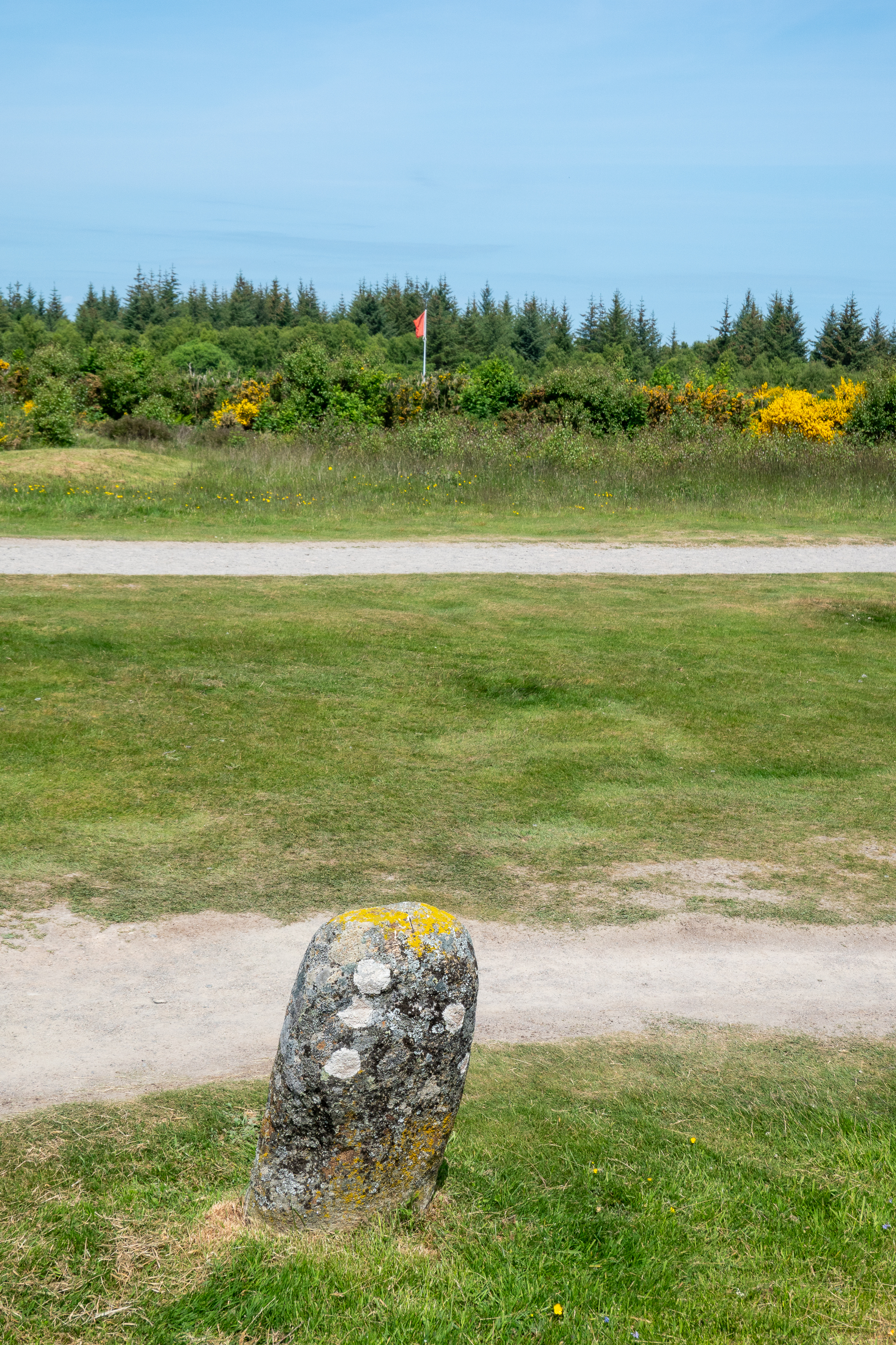
There wasn’t a lot of great maneuver during the battle, the Jacobites tried to carry the day, as they had done before, with a single volley and a mass charge.The Hanoverians maintained disciplined volley fire and the field is covered with these stones, each marking the closest approach of the various clans.
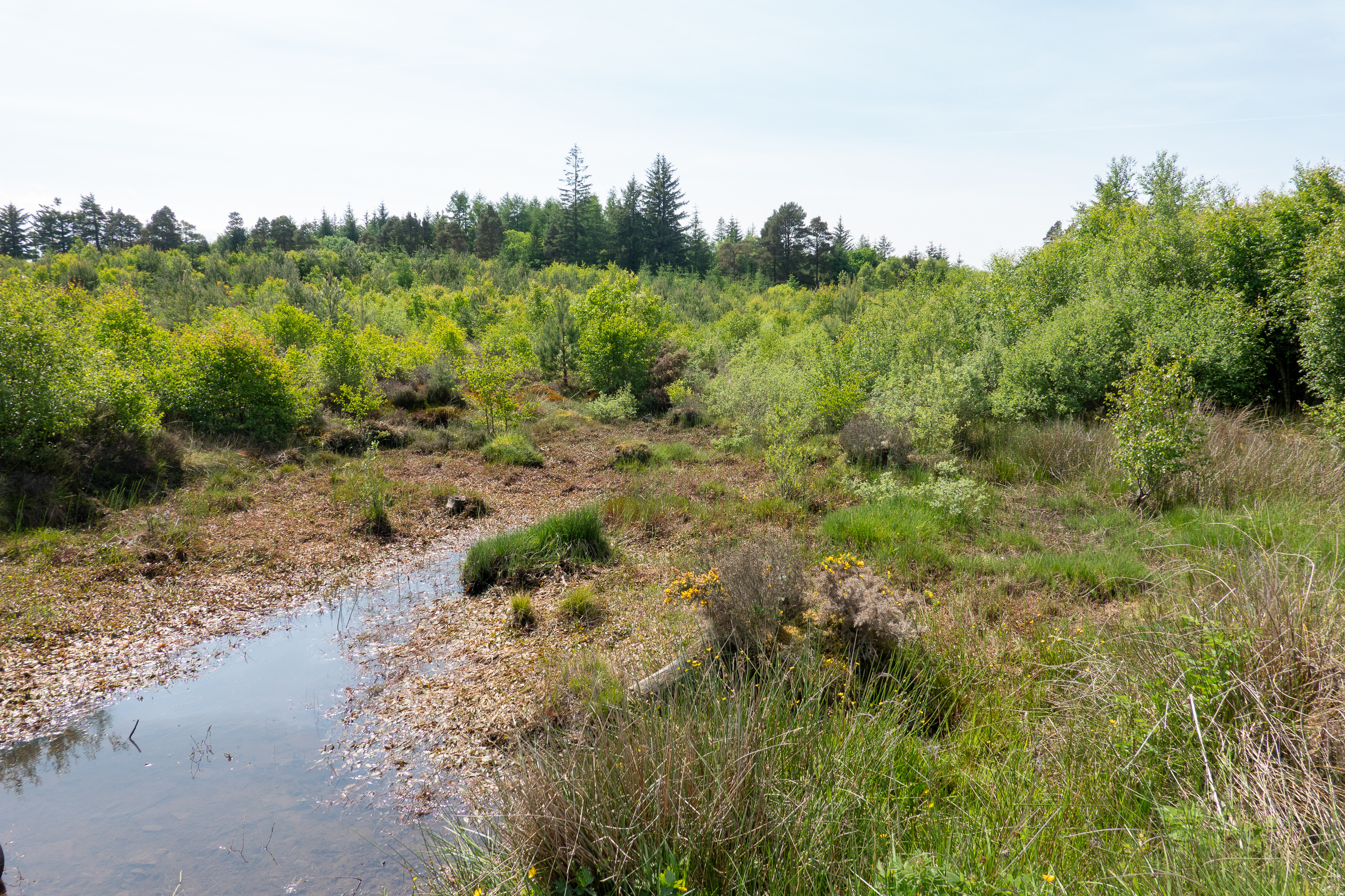
Charlie’s officers warned him that the ground was too boggy for a charge and indeed, did not want to offer battle at all. He didn’t listen.Reconstruction of a farm house that was on the site.
The Hanoverian revenge after the battle was savage and led to the end of the clan system. (And a ban on bagpipes.)
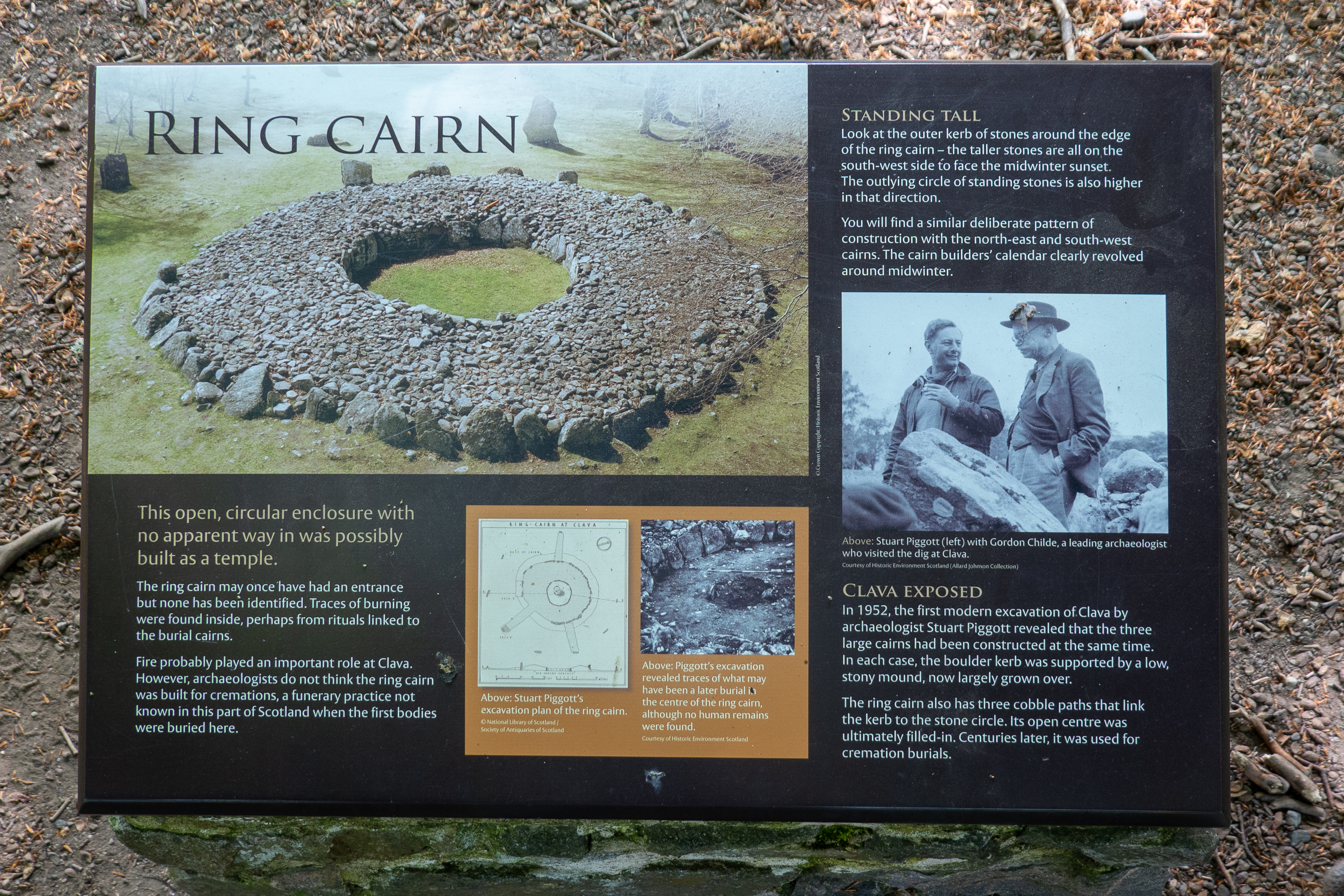
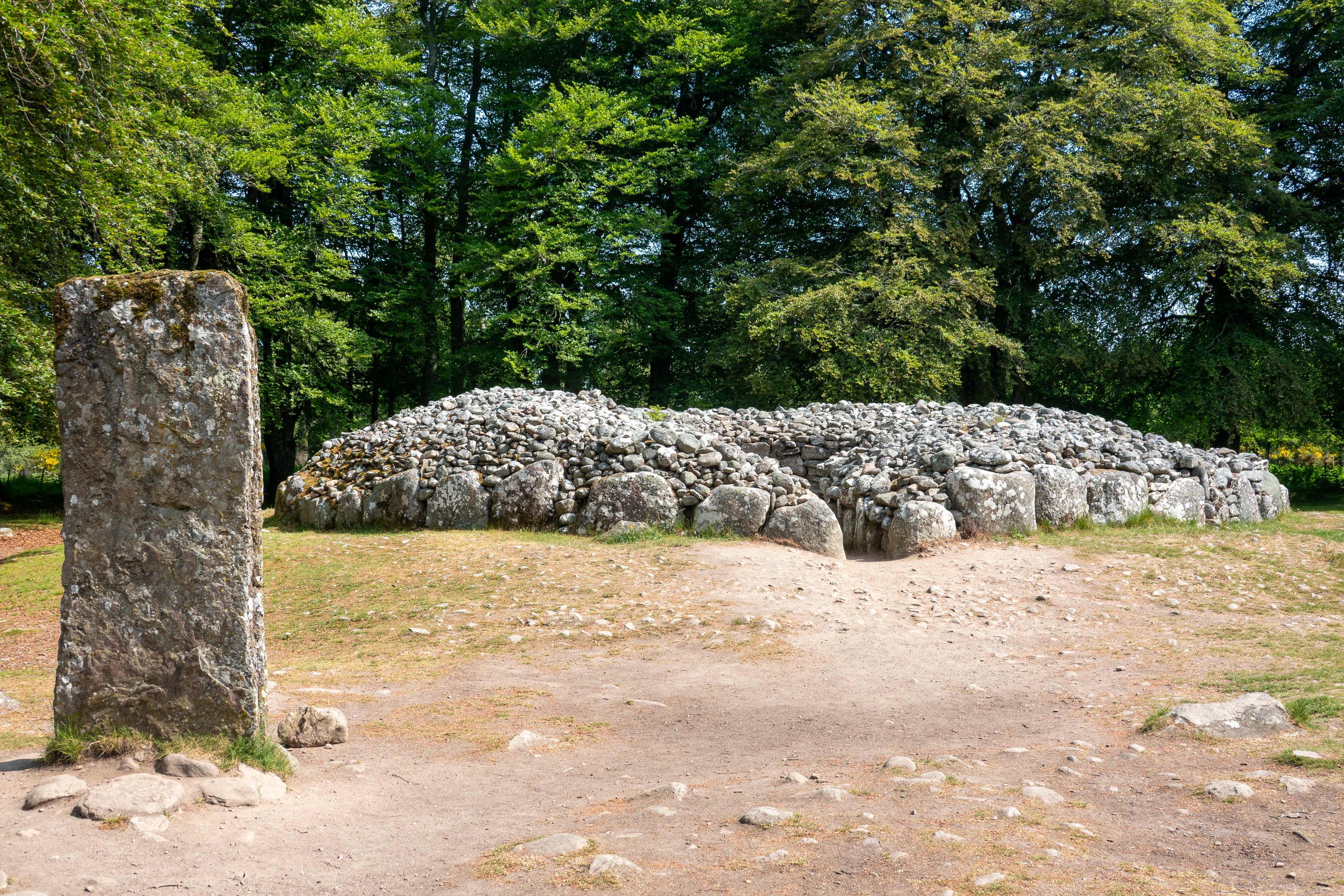
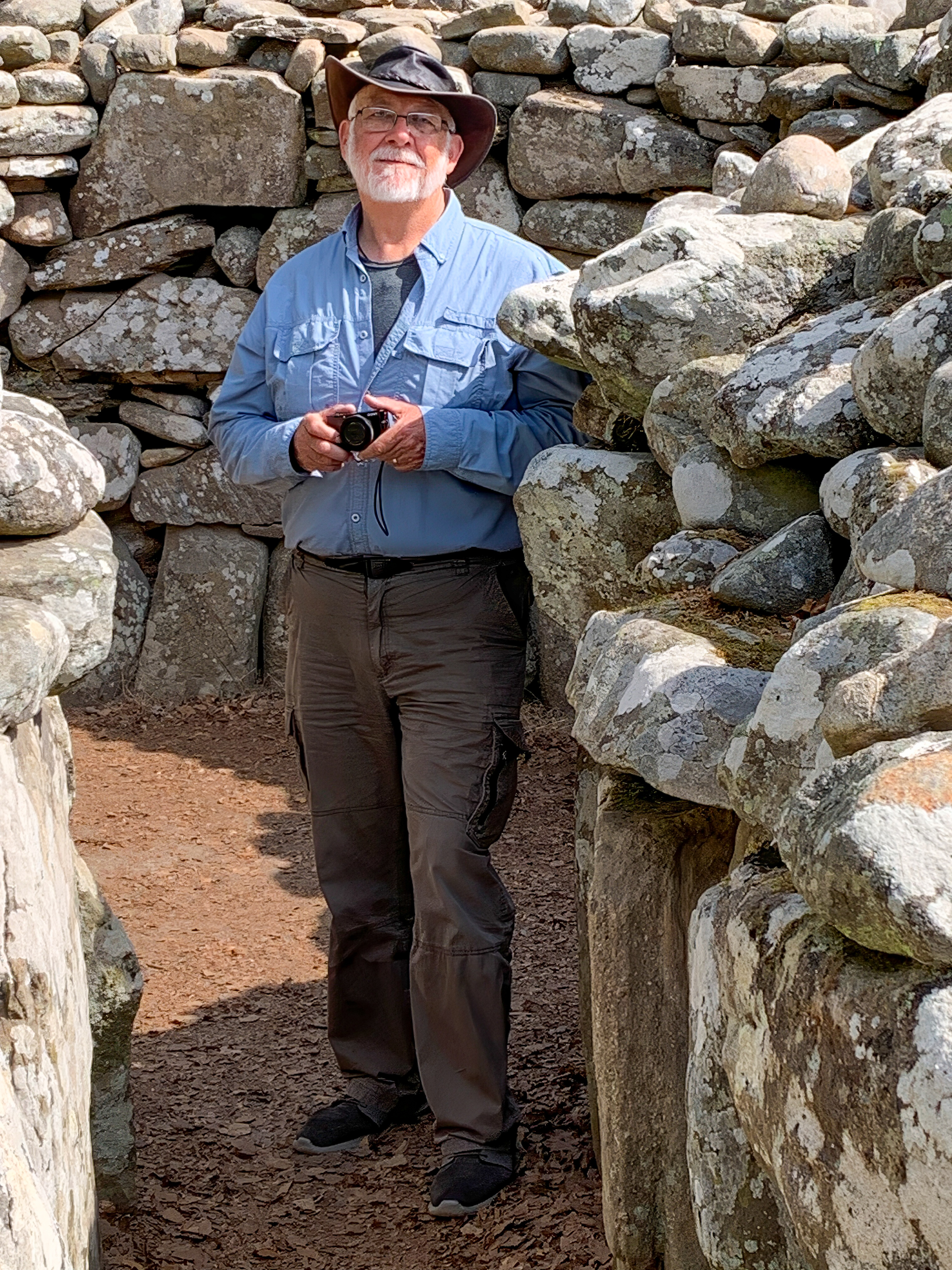
Just down the road is a wonderful little site, Clava Cairns. (https://www.visitscotland.com/info/see-do/clava-cairns-p245611) It always amazes us how real archeologists can look at a few stones in a field and “see” what it was. This is especially true of prehistoric sites.
And sometimes, even after a site is excavated, its purpose can be hard to discern.
Viaduct from the valley floor.
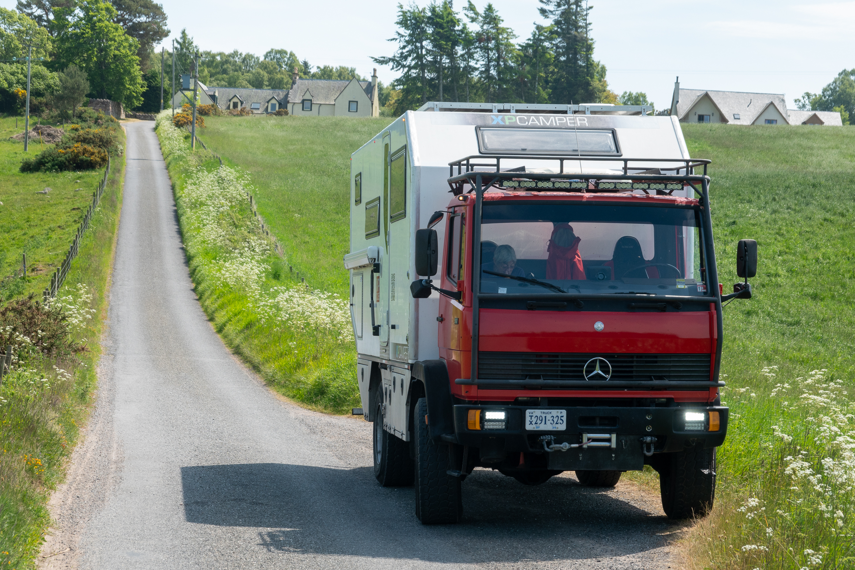
Narrow lane
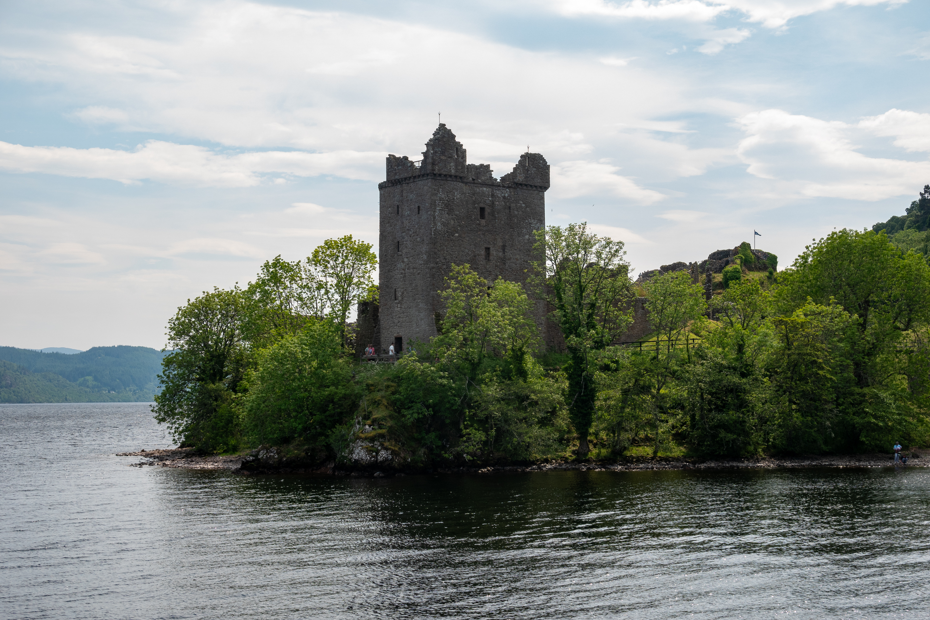
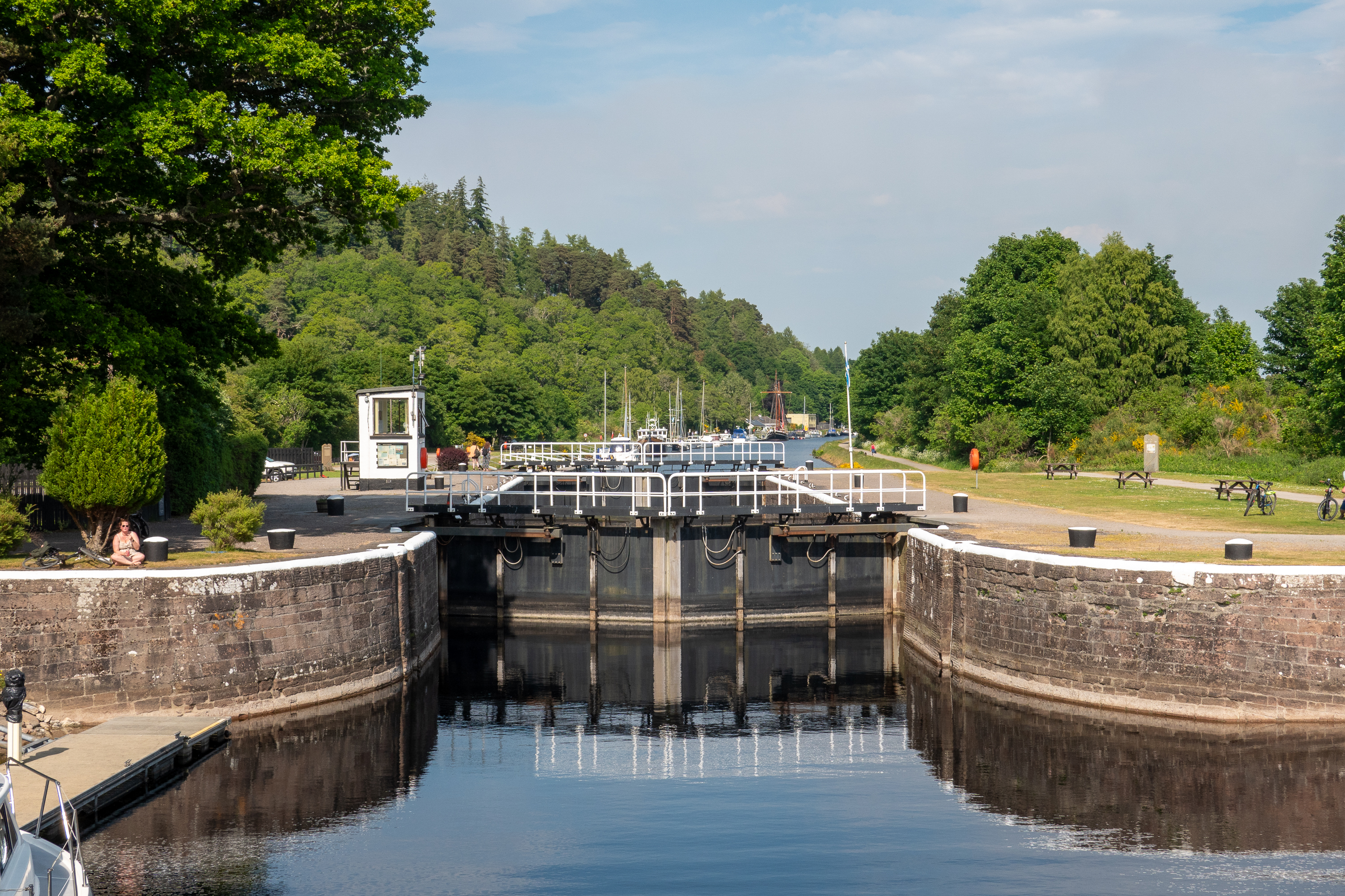
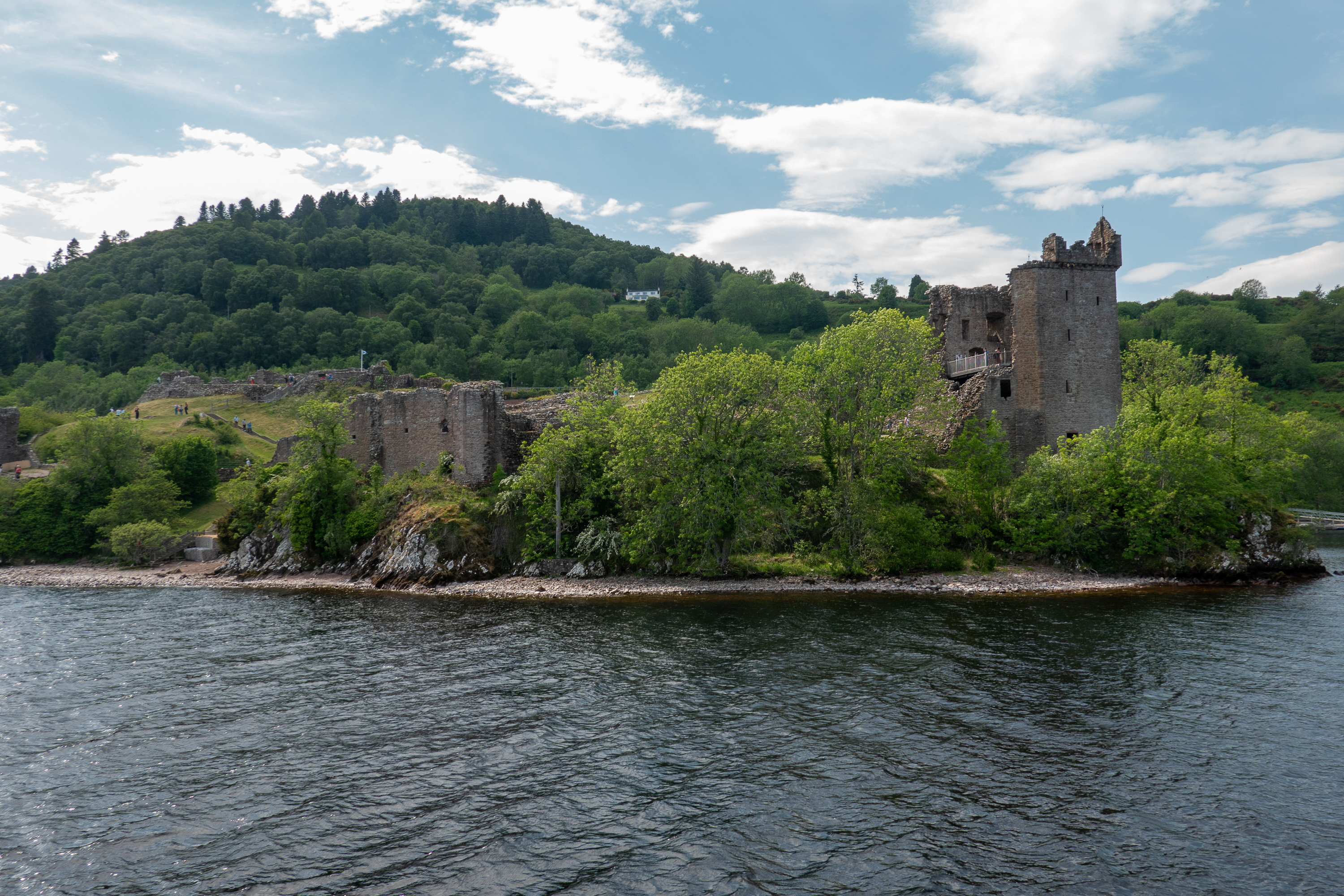
Inverness is at the top of Loch Ness and linked to it by the Caledonian Canal. (https://en.wikipedia.org/wiki/Caledonian_Canal ) When your daughter was born in Panama you tend to develop a canal fetish, so we had to take a quick trip down the canal and out into the loch. Only went as far as Urquhart Castle (https://en.wikipedia.org/wiki/Urquhart_Castle), but it was a nice sunny day.
Grant Tower
Lighthouse at the mouth of the canal.
Lock, from the loch to Inverness.
Urquhart Castle from Loch Ness.
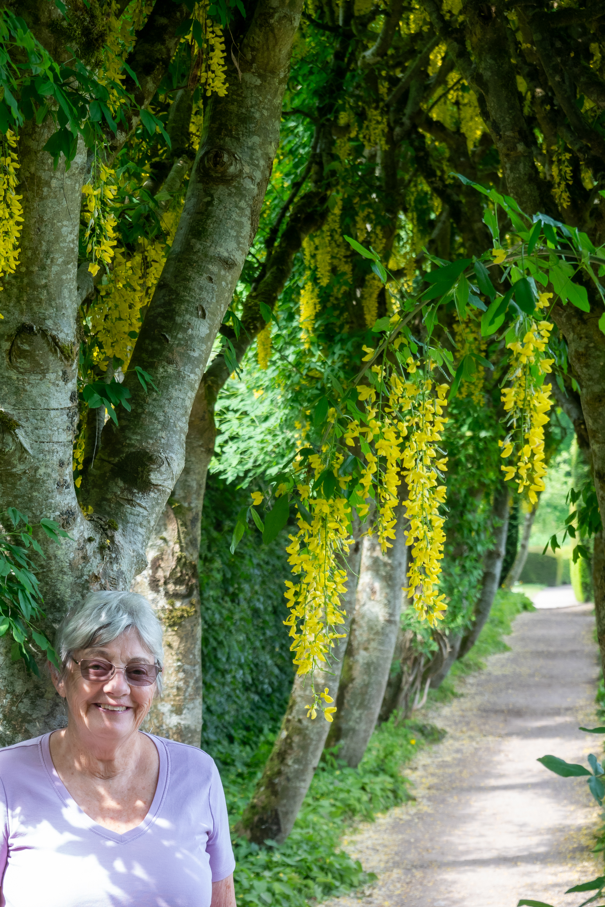
No, Macbeth was never thane of Cawdor Castle. But it is still worth a visit as it is a nifty fortified manor house, still owner occupied and it even has a secret or lost chamber. And Denise liked the gardens. (https://en.wikipedia.org/wiki/Cawdor_Castle) Any building that is constructed around a living Holly tree is interesting, even if the tree died in about 1372!
The original front door is the arched window on the left of the tower. Like many castles, there were no doors at ground level, all access was up a wooden stair that could be burned in the event of attack. The draw bridge was added much later, by which time a ground level door had been cut.The magic holly tree – or what is left of it.
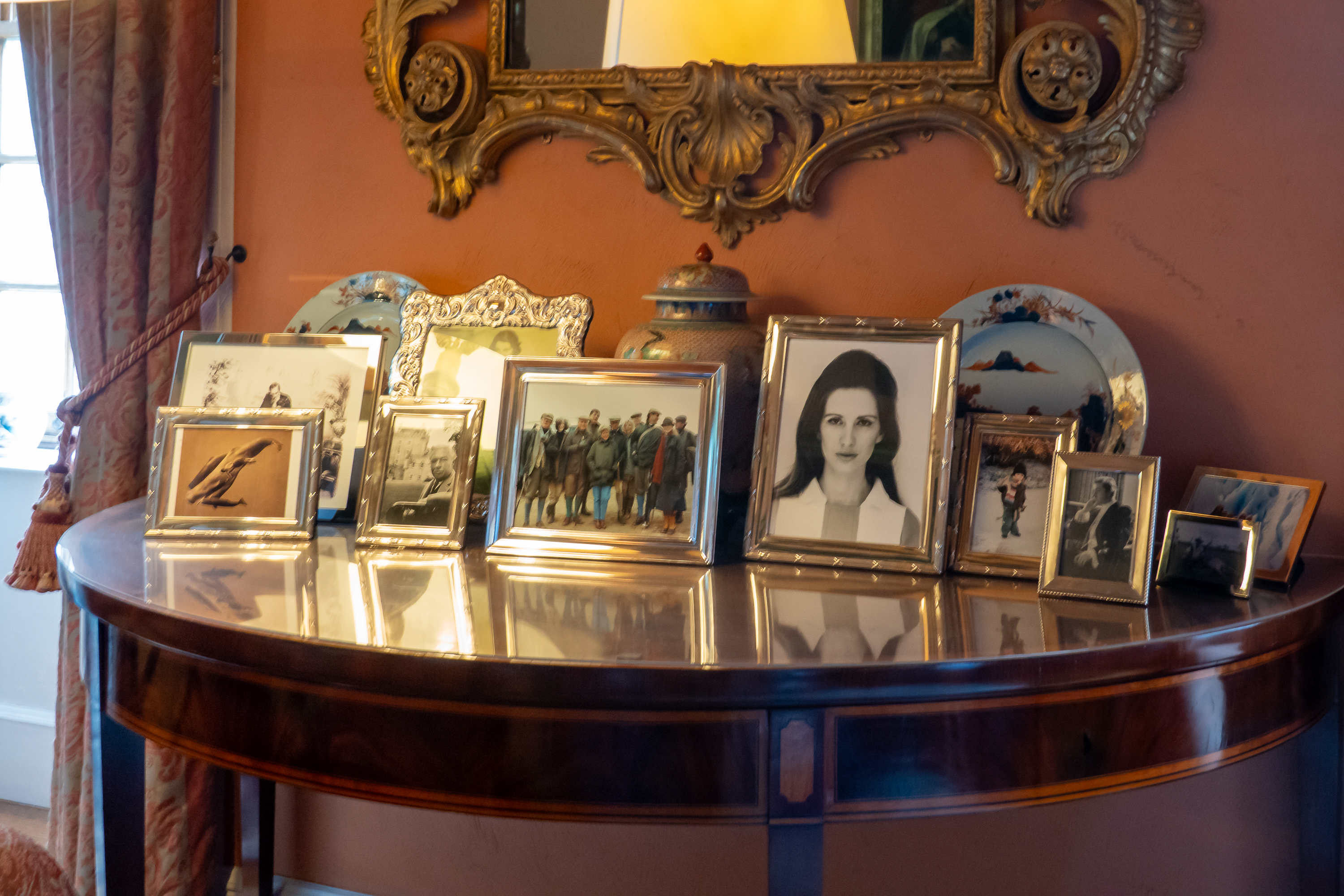
Modern family pictures are a reminder that the family still live in the house. And use the rooms when they are not open to the public.
The little door at the right lead to the garderobe. (More modern plumbing has been installed.)
Some of the stairs are still a challenge.
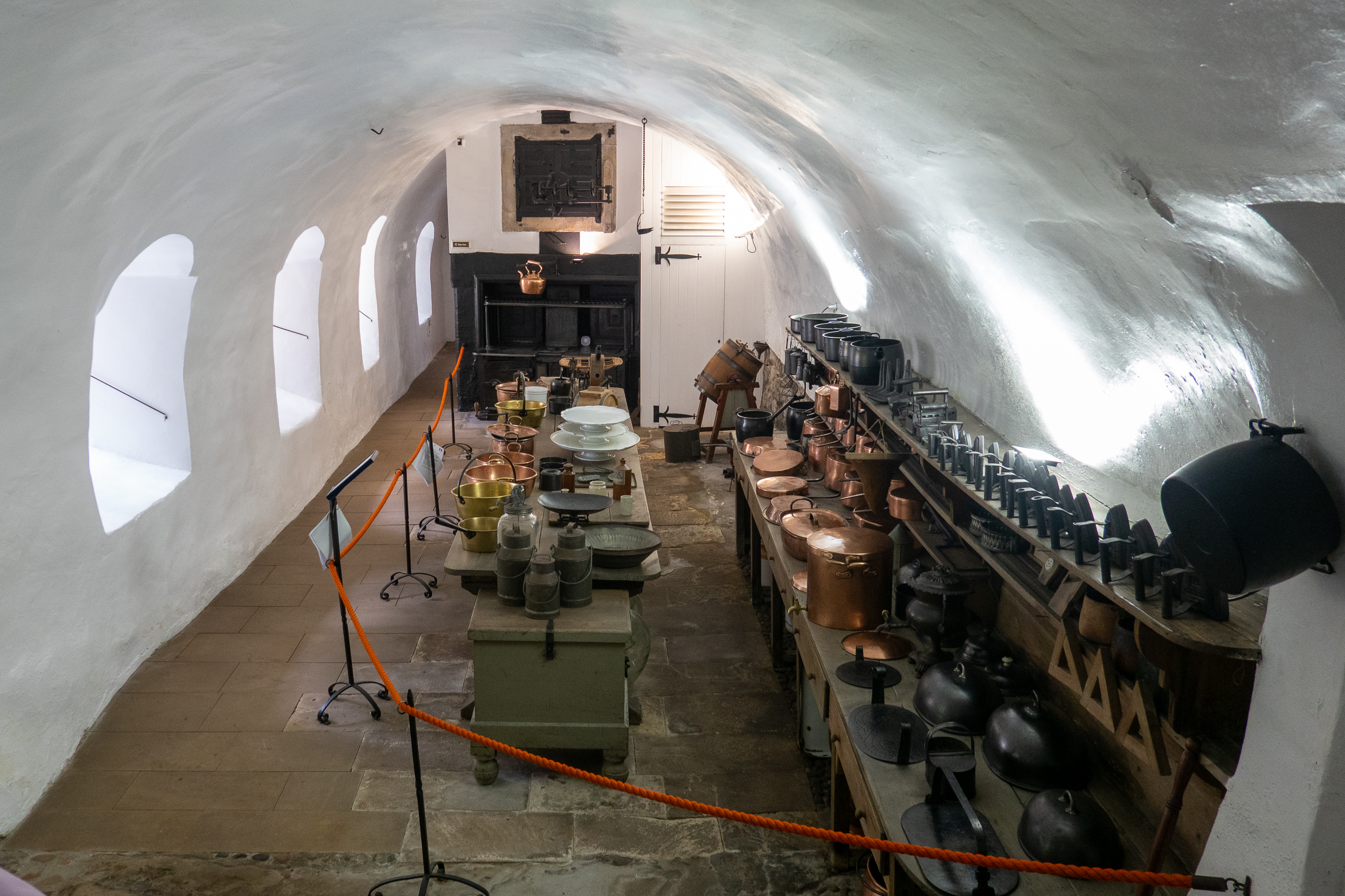
Today’s kitchen
The “modern” Victorian kitchen
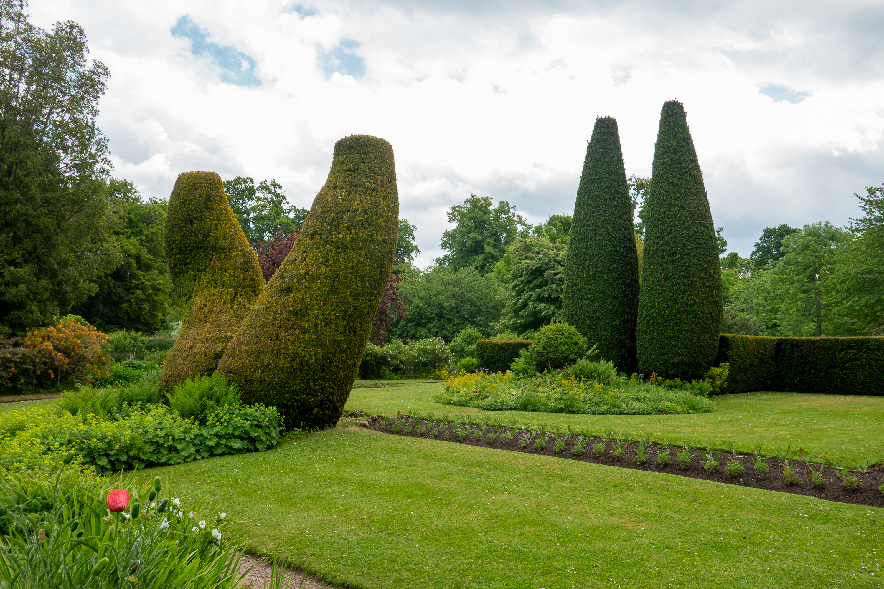
Strange topiary
We continued up the coast to the town of Helmsdale. Again, the reason was free camping. And a good fish and chips dinner. (http://www.bannockburninn.co.uk/)
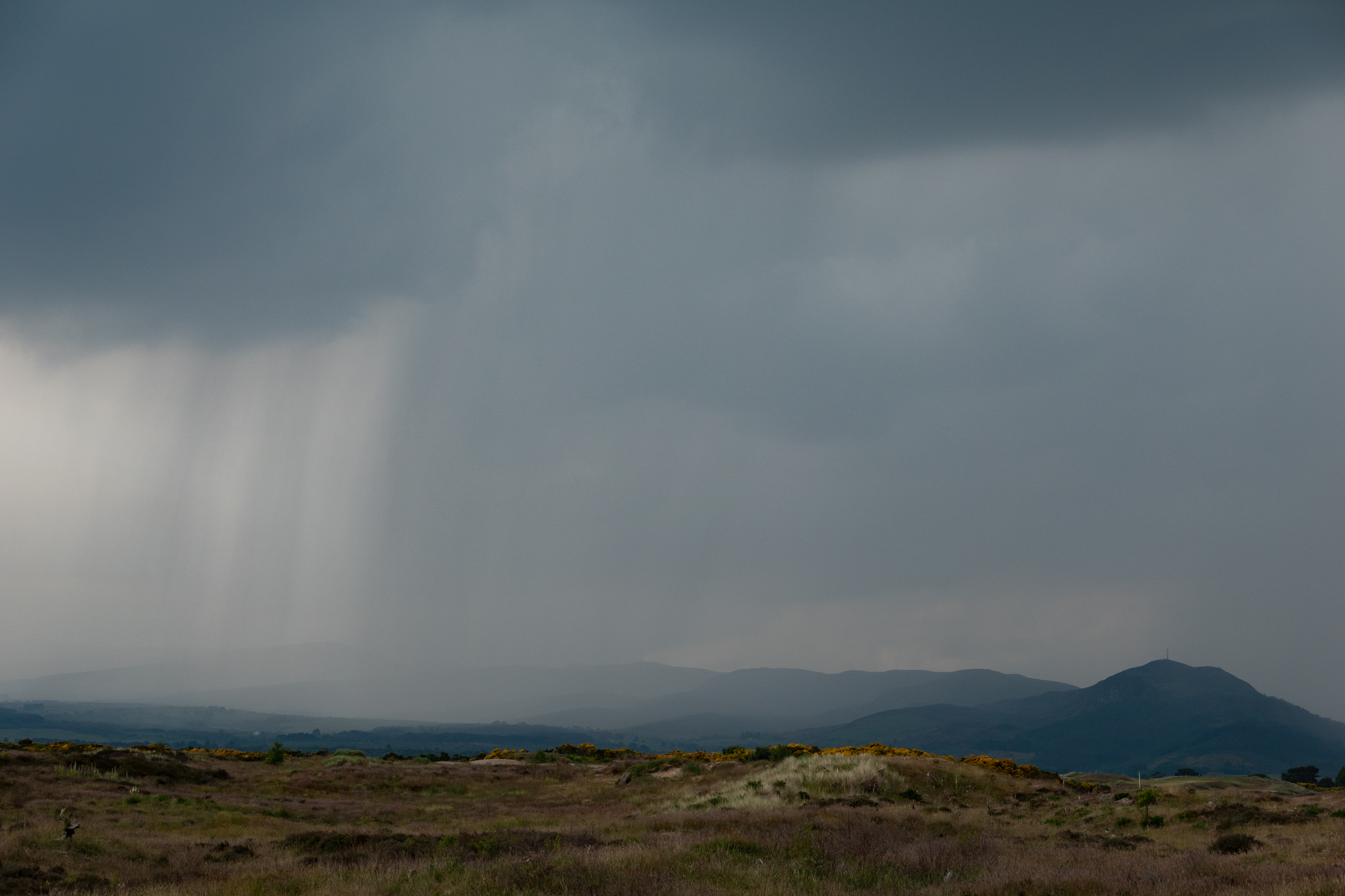
A sudden storm – killed visibility, flooded the roads, and generally made for a hard drive. Fortunately, it passed quickly.
A welcome sign!
When she accepted us, the owner had forgotten that the kitchen was not supposed to be open that day. But she opened up and we had a good dinner and she had a full house.
The next day we set out to explore a really charming town. Helmsdale was a Highland Clearances town, where highlanders were resettled after being removed from the land. Some became fishermen, but many emigrated. There is a small, but very nice museum. (https://timespan.org.uk/museum/) And, of course, a coffee shop where we scored scones, fresh out of the oven!
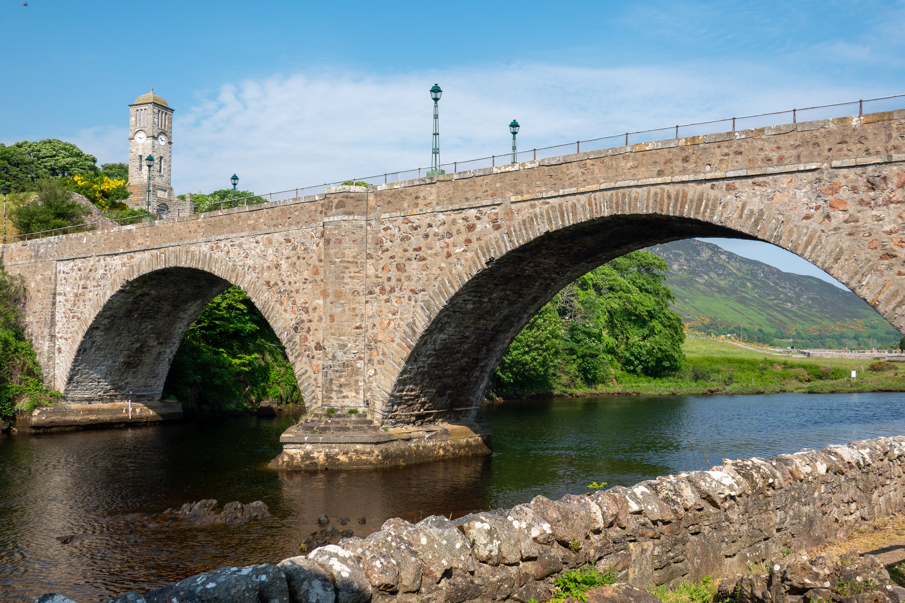
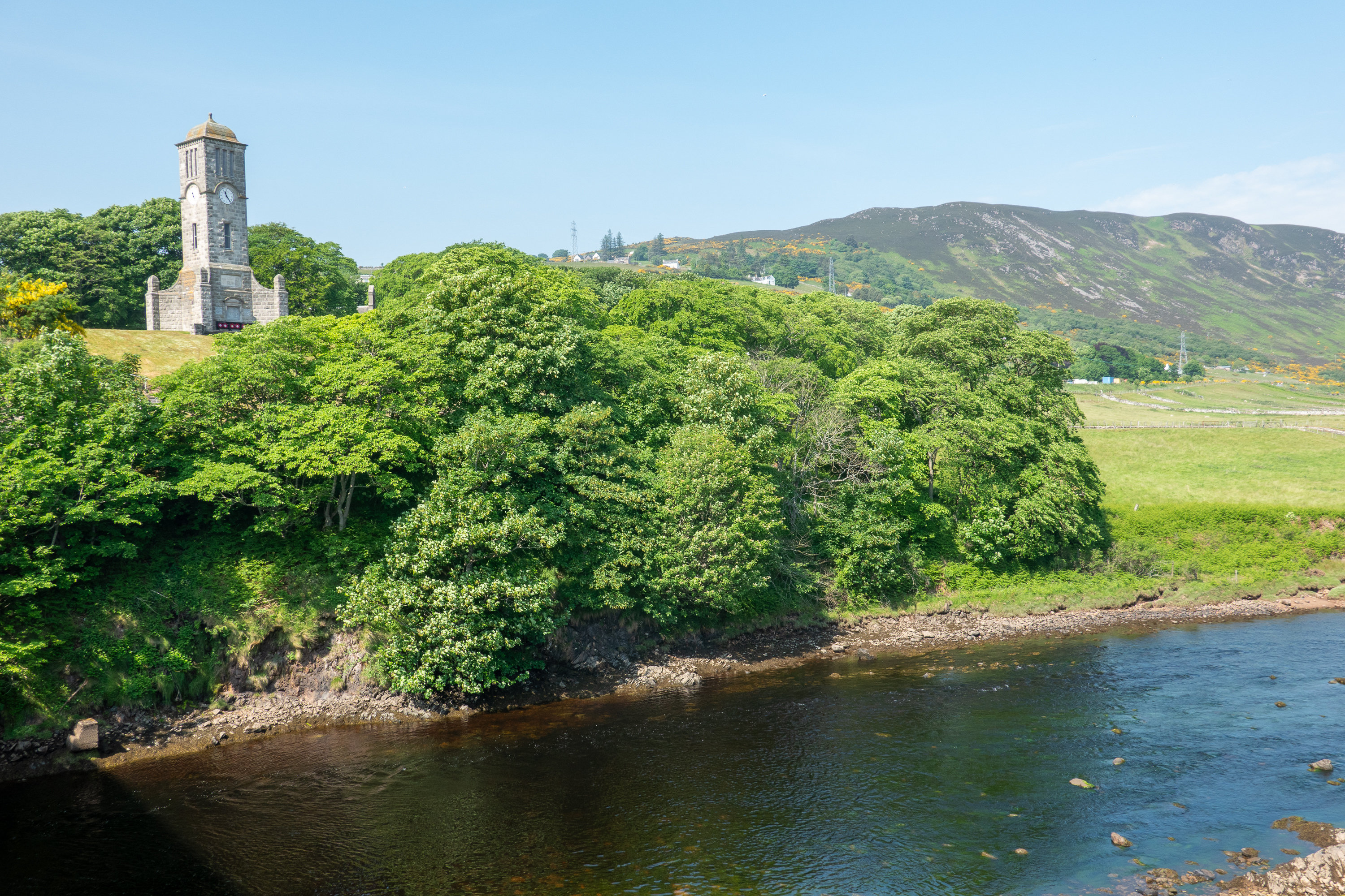
The old bridge
Dramatic war memorial
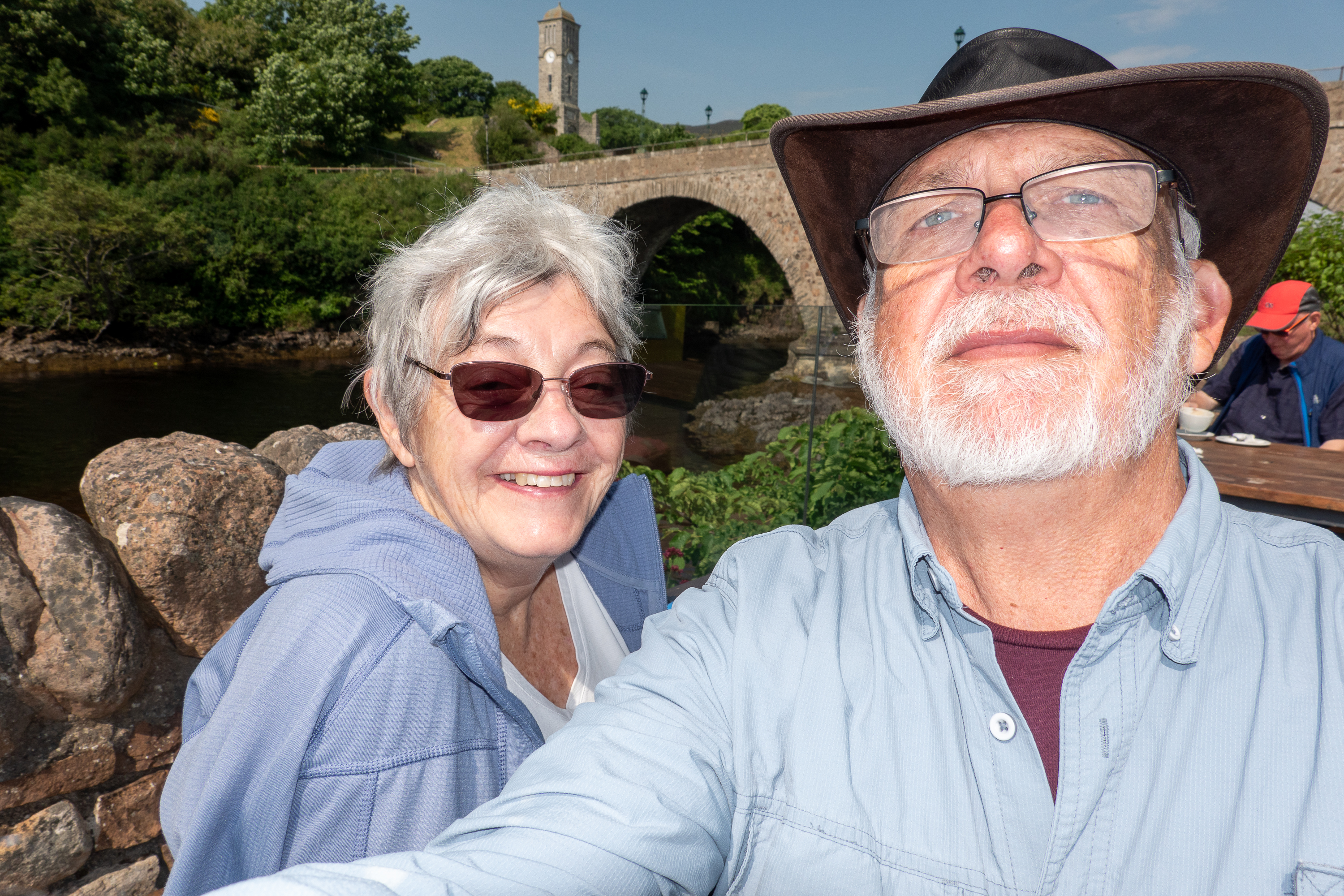
Well, everybody else can take selfies … We’re learning.
This was another case where if you didn’t know what you were looking at, you would miss it.
And then we reached John o’Groats.
OK, there isn’t much here but the campground, which we chose simply because it was close to the ferry dock, turned out to be lovely with wonderful views. Denise never tired of gazing out of the window at the sea and the island of Stroma.
Big cities are always a challenge when traveling by camper – driving in a strange city can be hard and, in a city, like Edinburgh, where parking is already difficult for cars, a camper is simply impossible. Thus we carefully picked the Mortonhall Campground in Edinburgh because it is on the number 11 bus route, and the buses run every 10 minutes. (https://www.meadowhead.co.uk/parks/mortonhall/) This is serious transit service! And we got to know the route quite well, as we used it both days we were there to get to and from the tourist area of Edinburgh.
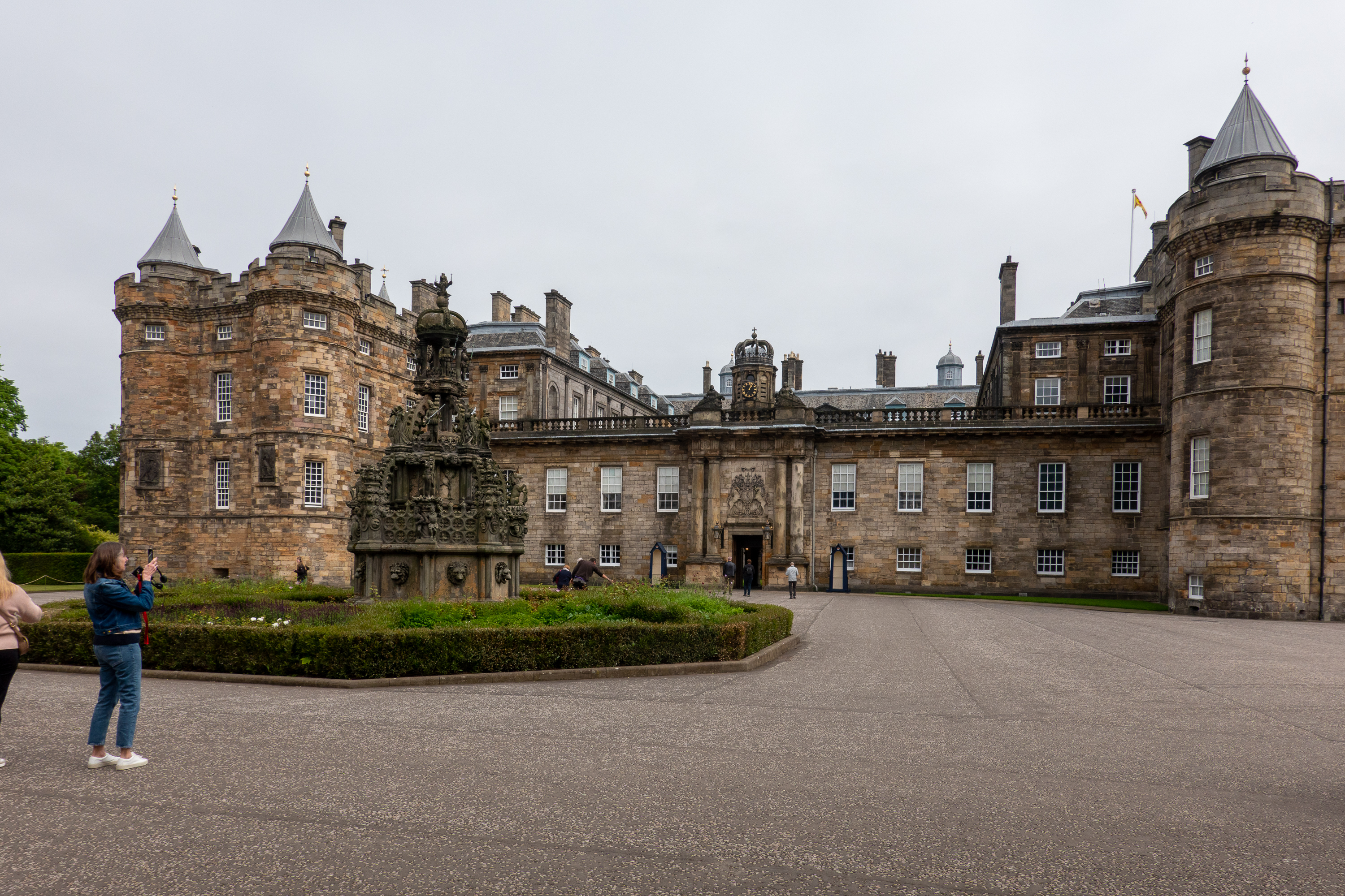
Denise had always wanted to visit Holyrood House Palace. (Fred, on the other hand, had never heard of it.) Holyrood House is, to this day, the residence of the Royal Family in Scotland. The place simply drips history and thus the Wikipedia entry is a LONG read: https://en.wikipedia.org/wiki/Holyrood_Palace , but well worth it. So this was our first goal. Fortunately, we were able to get tickets for the next day. And only the next day, as someone named Charles was coming to visit and would be taking over the whole place! Yes, it is more than just a tourist attraction.
The first day we caught the city bus for the 30 minute ride into town. Once we arrived downtown, we started with a hop on hop off bus with a live guide, which we found so much better than the recorded version. Also a great way to get oriented to the layout of the city. Our first hop off was the palace of Holyrood House.
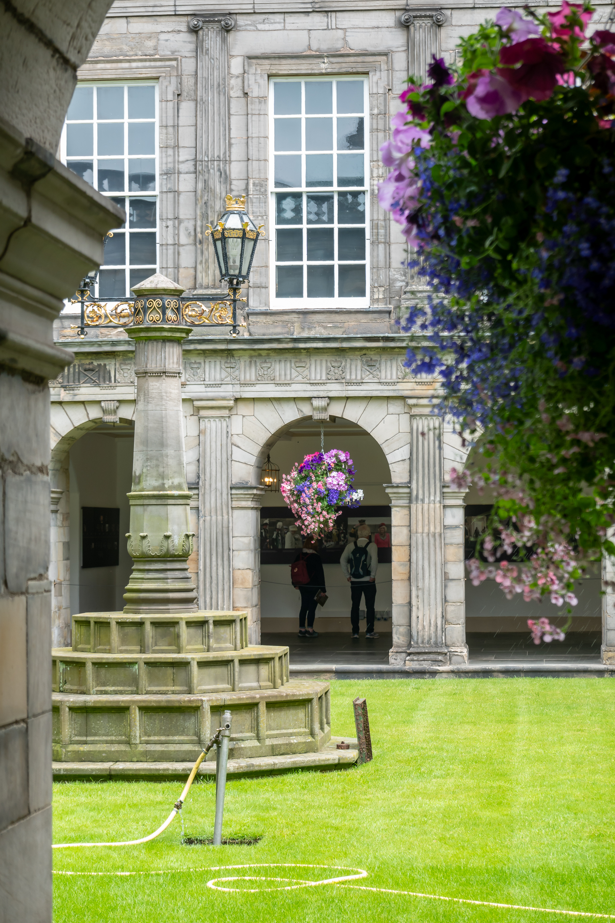
Fred found the design of the Palace unexpected. The palace is built with cloisters around a central atrium, a design dating back to the Romans and commonly found in Mediterranean buildings in a much warmer climate.
Ring the bell and see if there is anyone home.
Everything was being prepped for the King’s visit.
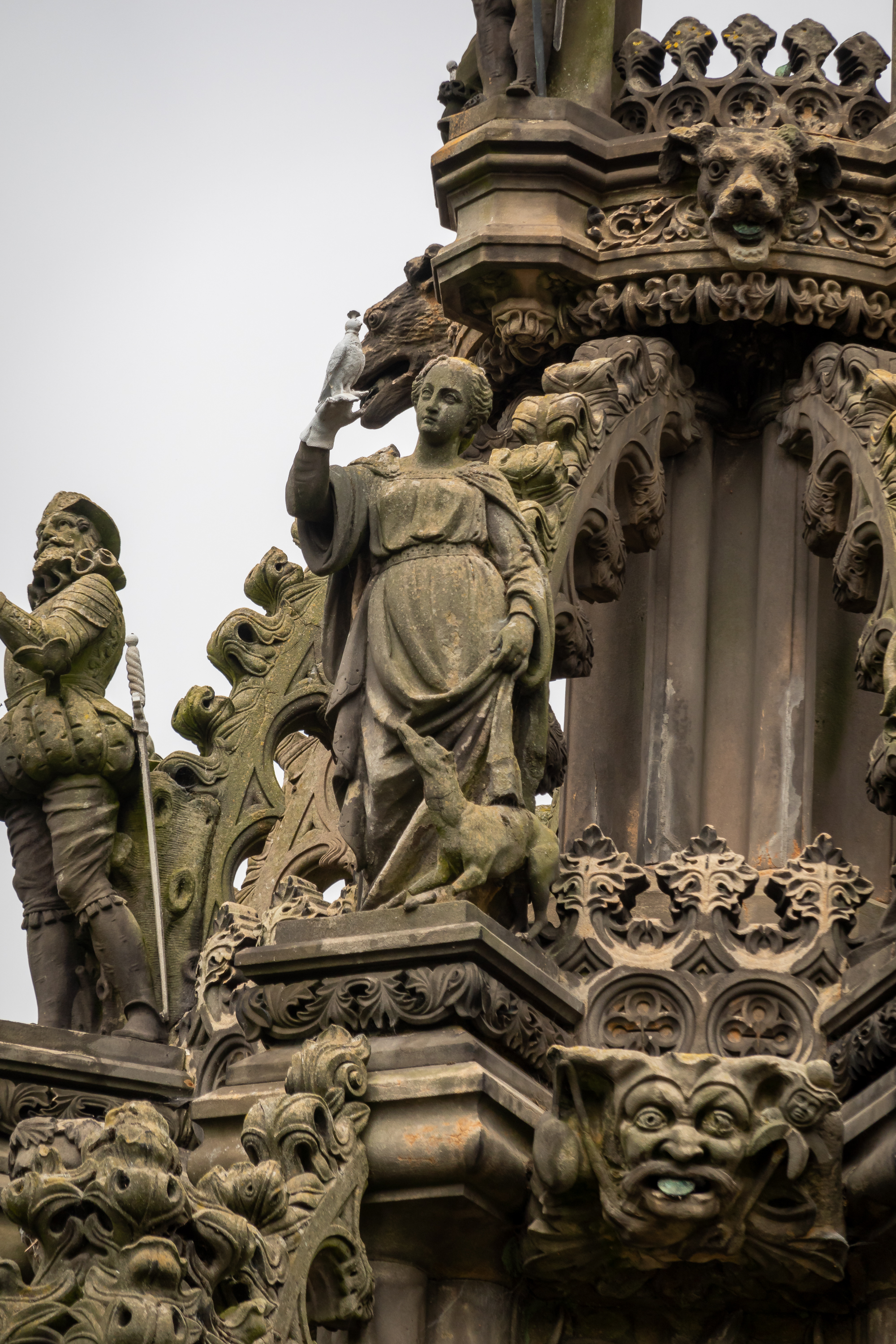
Statues on the fountain in the courtyard before the palace.
Photography is prohibited inside the palace but is is most impressive. The place was build along side an existing abbey. The abbey suffered over the years from wars and religious strife and is now in ruins.
Abbey ruins abutting the palace.
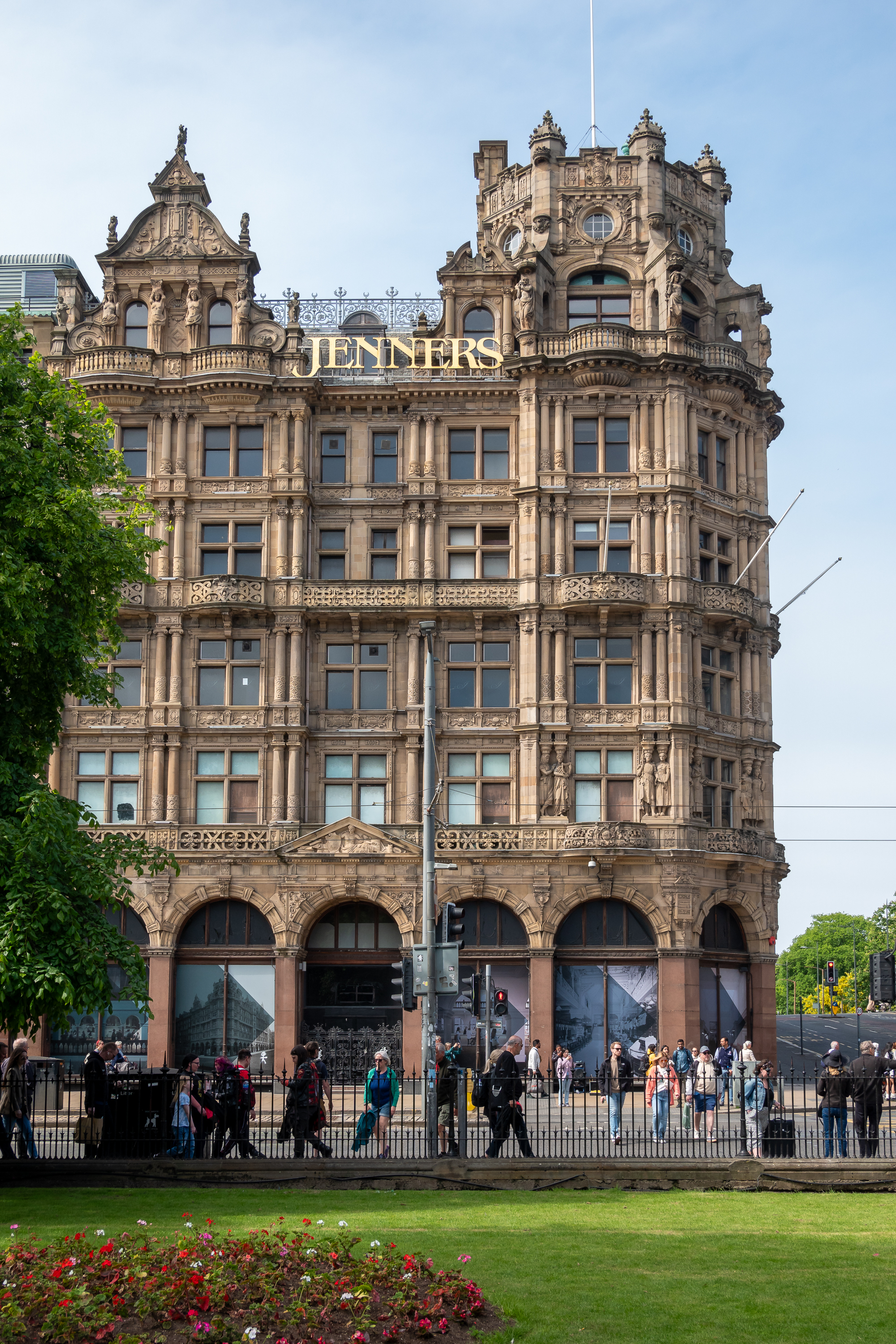
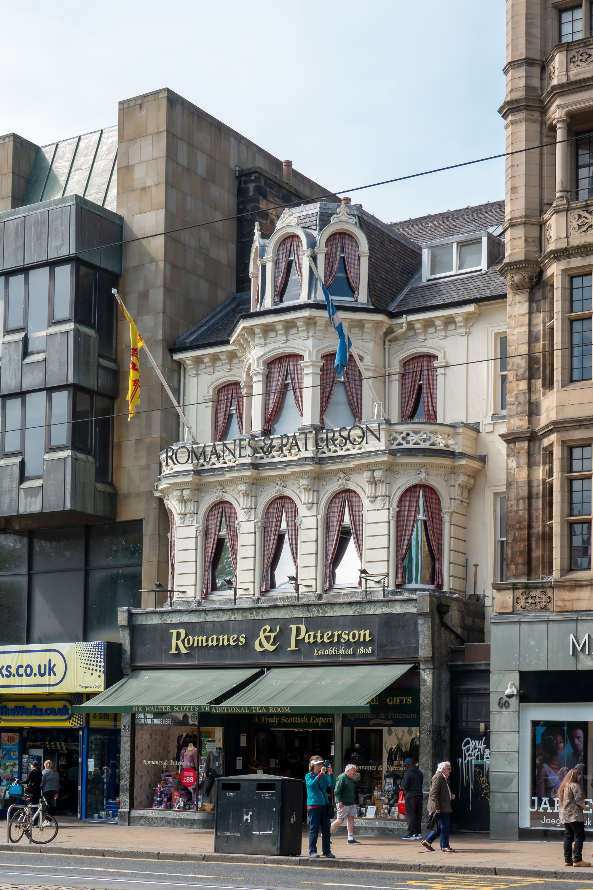
We hopped back on the bus to get back to the bus stop for our bus back to the campground. Waiting for the bus, we could admire the architecture. (Yup, a lot of buses)
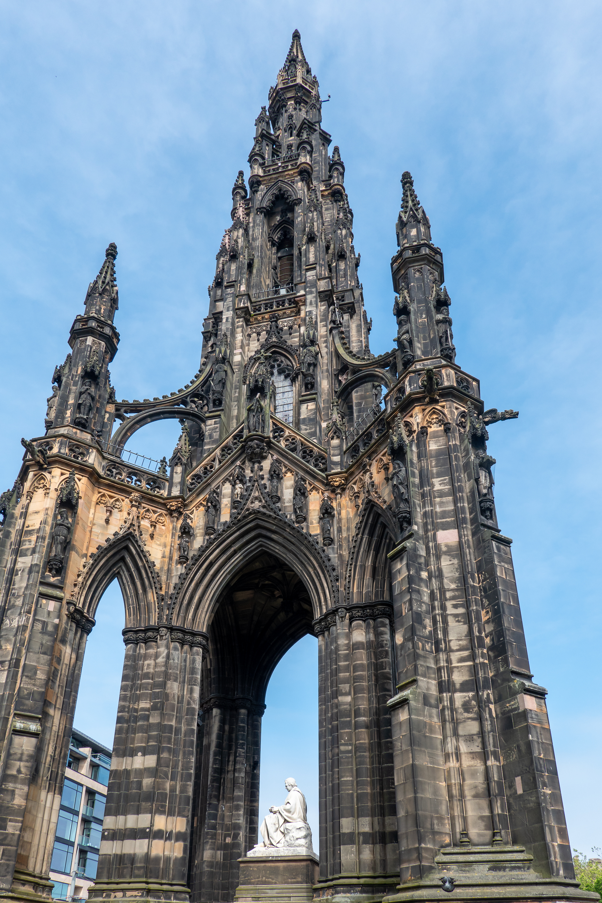
Sir Walter Scot’s monument
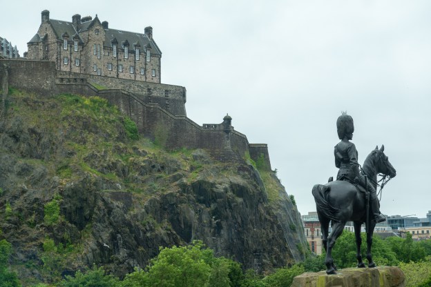
The second day, we had procured tickets for Edinburgh Castle so we were back on the bus, this time getting off a bit up the hill. After fortifying ourselves with a cappuccino, we set off to climb up to the castle, congratulating ourselves on getting off the bus halfway up. Edinburgh castle, too, has a long and complex history, changing hands many, many times. (https://en.wikipedia.org/wiki/Edinburgh_Castle) To be fair, there was a Scottish nobleman who switched sides so many times that he was known as “Bobbing John.” (https://en.wikipedia.org/wiki/John_Erskine,Earl_of_Mar(1675–1732)) Fans of the band Steeleye Span will know him from the song, “Cam ye or’e frae France?” (https://en.wikipedia.org/wiki/Cam_Ye_o%27er_frae_France) And, if you are not a Steeleye Span fan, you should be!
Yup! We gotta get all the way up there!
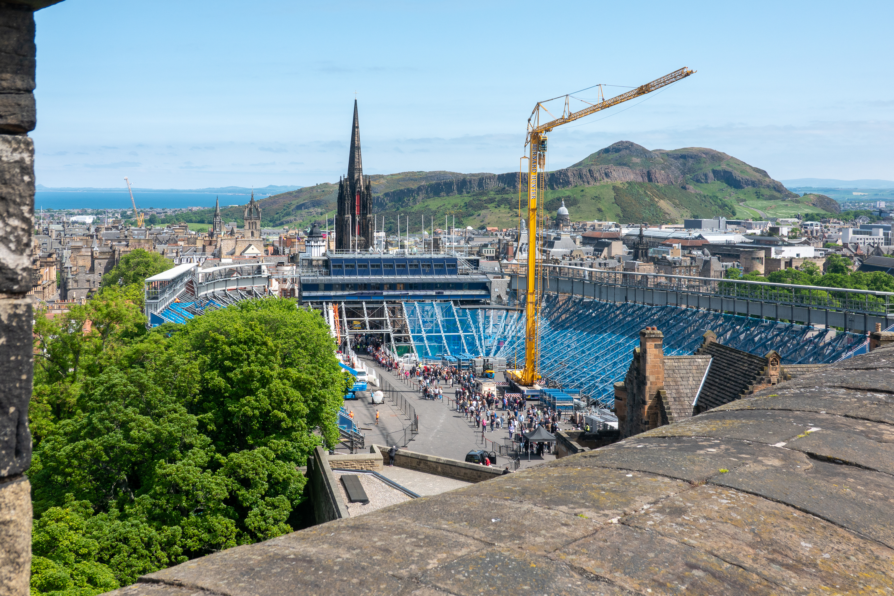
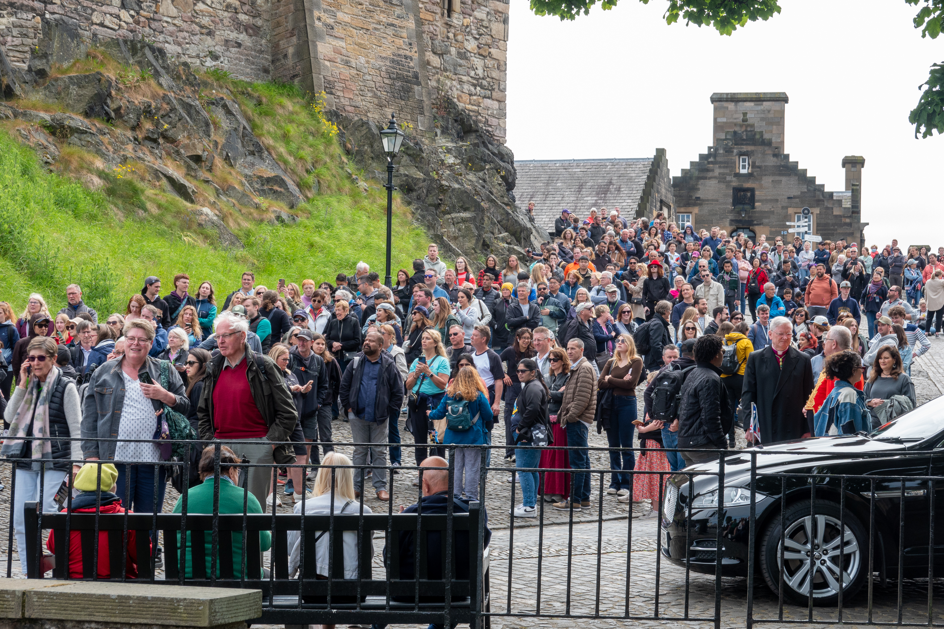
So the first thing we found was that the road was closed for repairs, and we would have to climb DOWN a million stairs before we could start up the hill again. (Good thing it was a good coffee!) When we finally reached the top, through the heaving crowds, we were fascinated by the fact that they were already constructing the seating for the Edinburgh Tattoo though apparently there was a popular concert also in the near future.
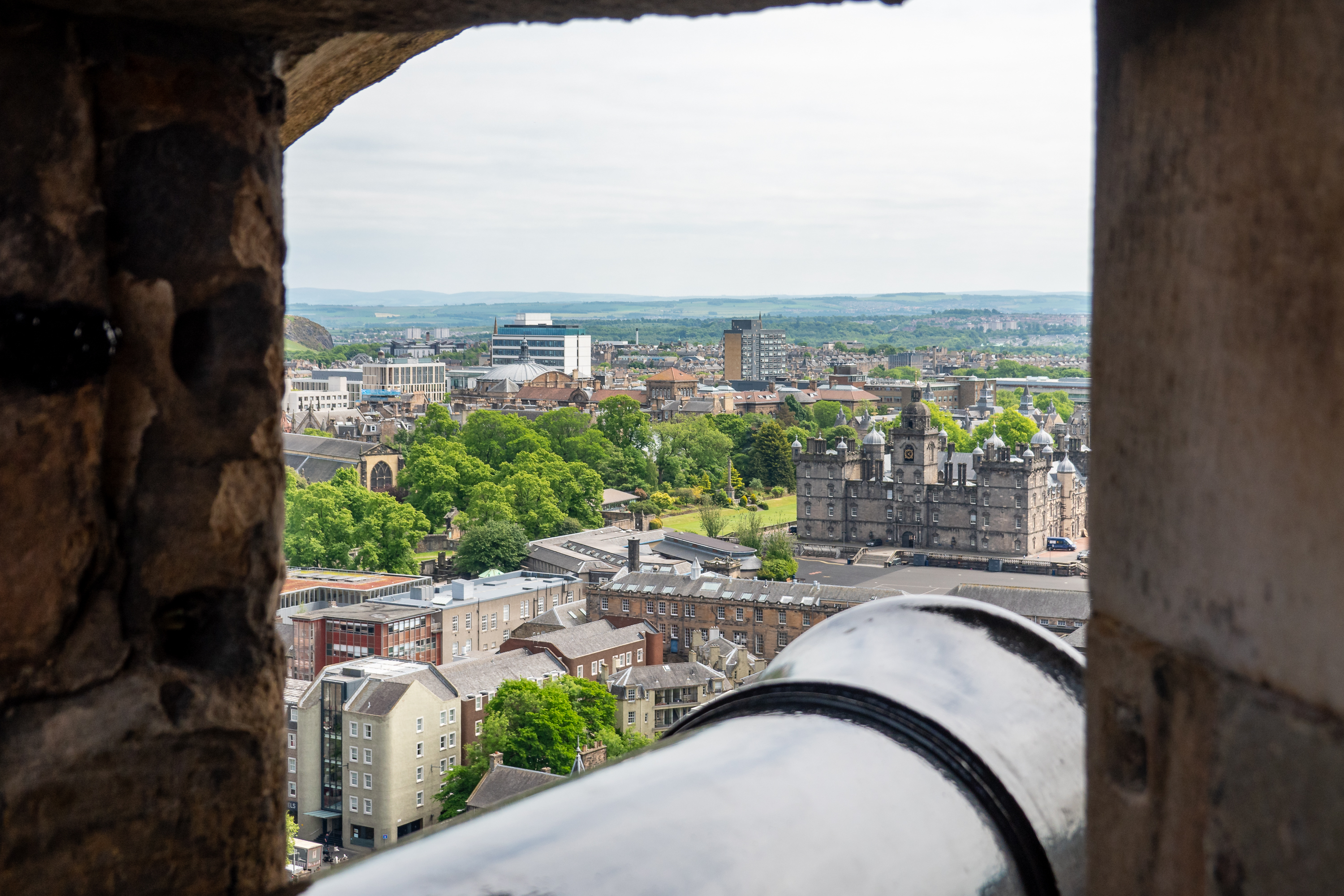
Massive grandstand being constructed in the forecourt. The mountain is a volcanic core known as “Arthur’s Seat.”
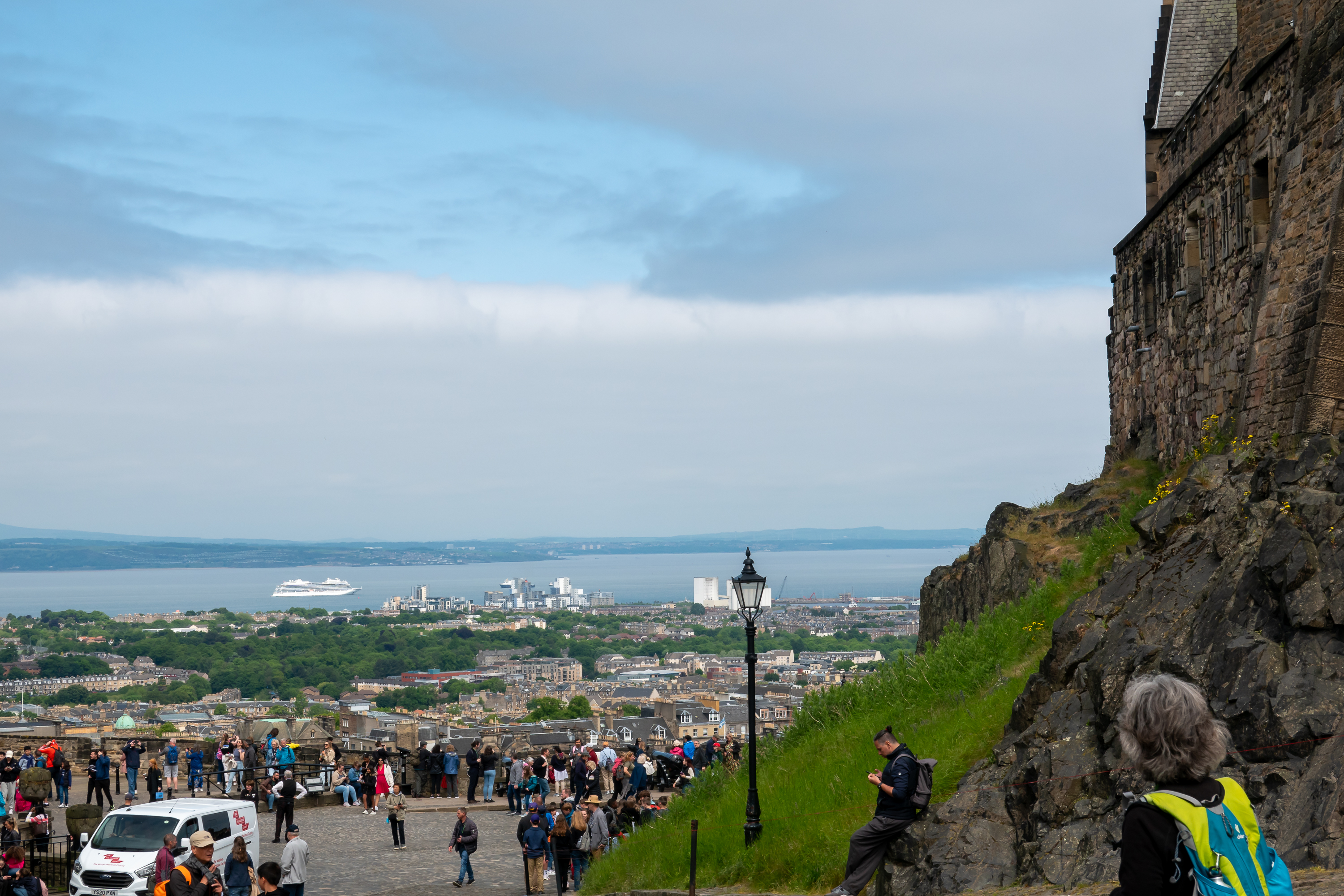
A Viking cruise ship anchored nearby gave a us a hint as to where some of the folks were coming from. We had a bit of nostalgia from Viking trips, but we were quite happy not to be in a group with our ear pieces!
Crowd awaiting the firing of the one o’clock gun.
Viking ship in the harbor.
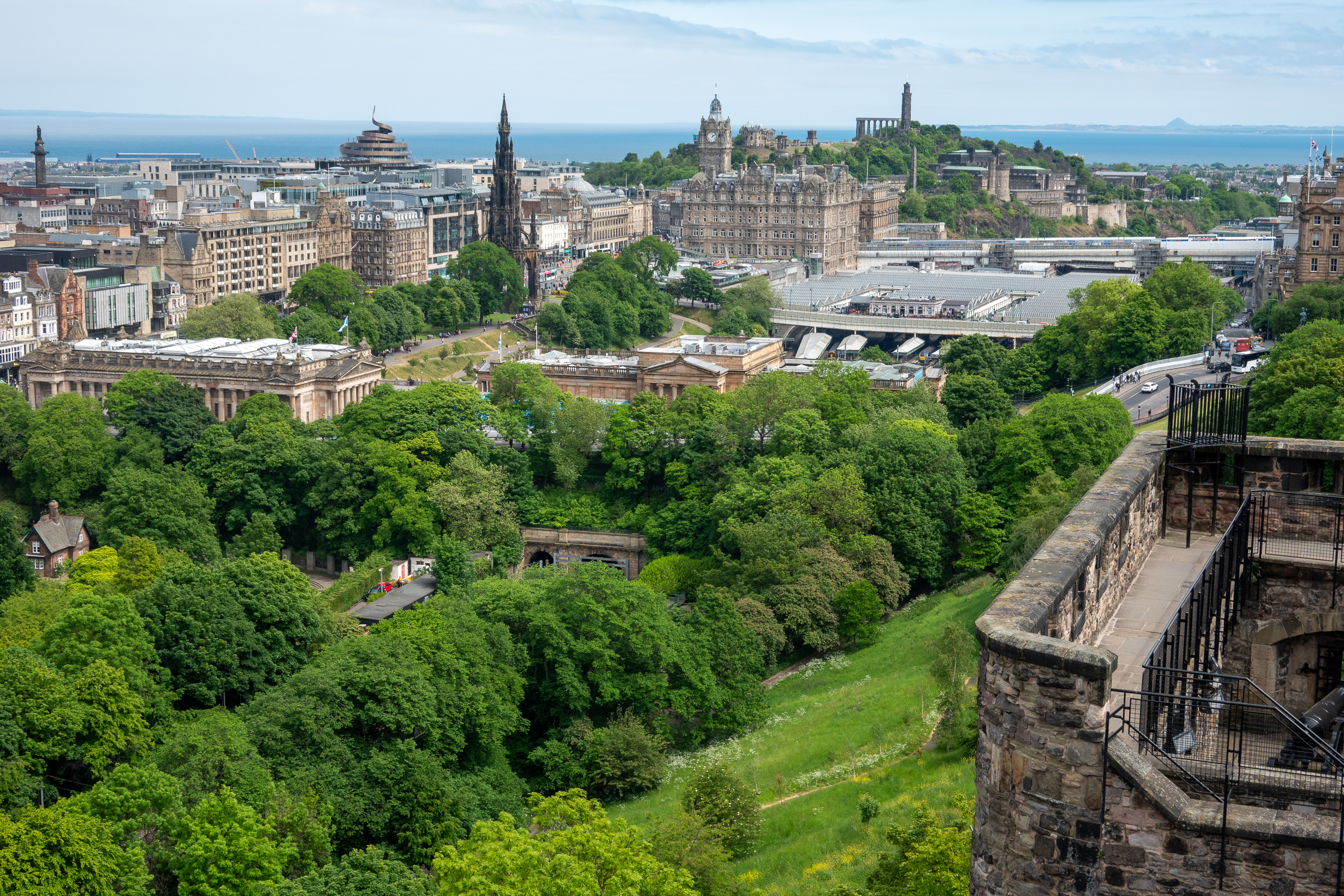
The new town and railway station from the castle.
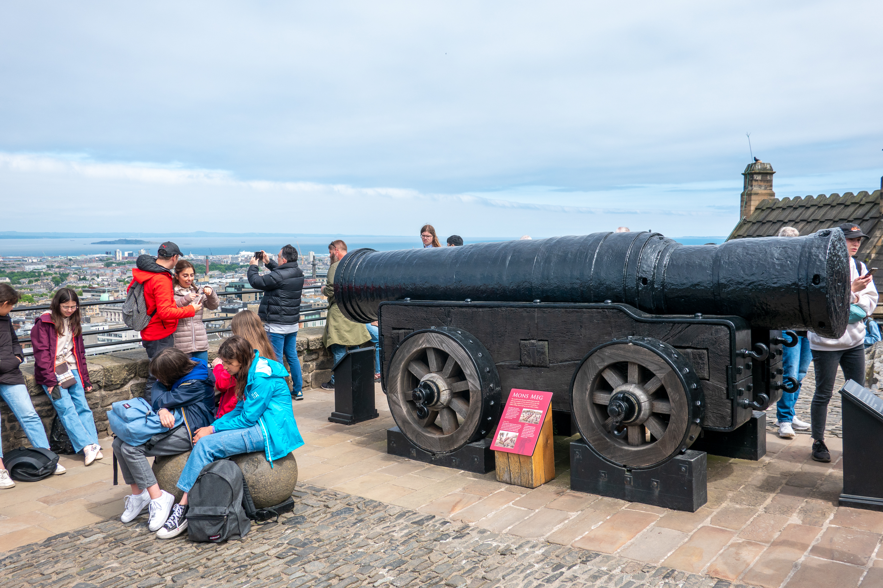
“Mons Meg” has a bore of almost 20 inches, making her one of the largest guns ever made. The gun carriage was only used to move the gun; she was actually fired from an earthen embankment. Like trebuchets of a previous era, she was not aimed at the defenders of a castle, rather used as a form of long range battering ram against the walls. Thus the goal was that each stone ball land in almost the same place in order to break down the wall.
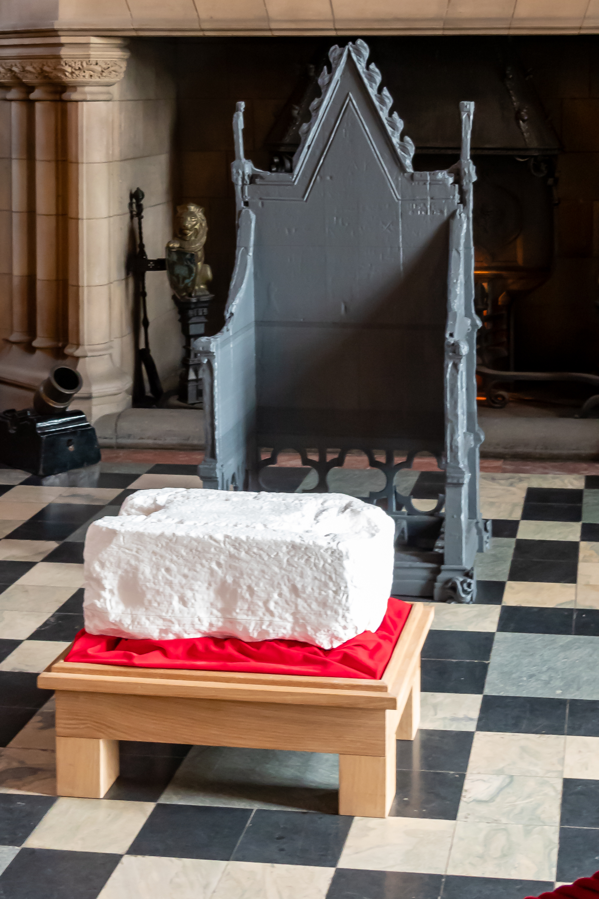
We liked the Great Hall and spent some time discussing it and the copy of the Stone of Destiny on display there with one of the docents. The real one was used in the recent Coronation of King Charles. The stone was originally seized by Edward I, aka “The Hammer of the Scots” or, if you prefer, “Edward Longshanks.” When he took it, it symbolized English domination. When James VI of Scotland became James I of England, the role reversed – you could not be legitimate “unquestioned” king of England unless you sat upon the Scottish stone.
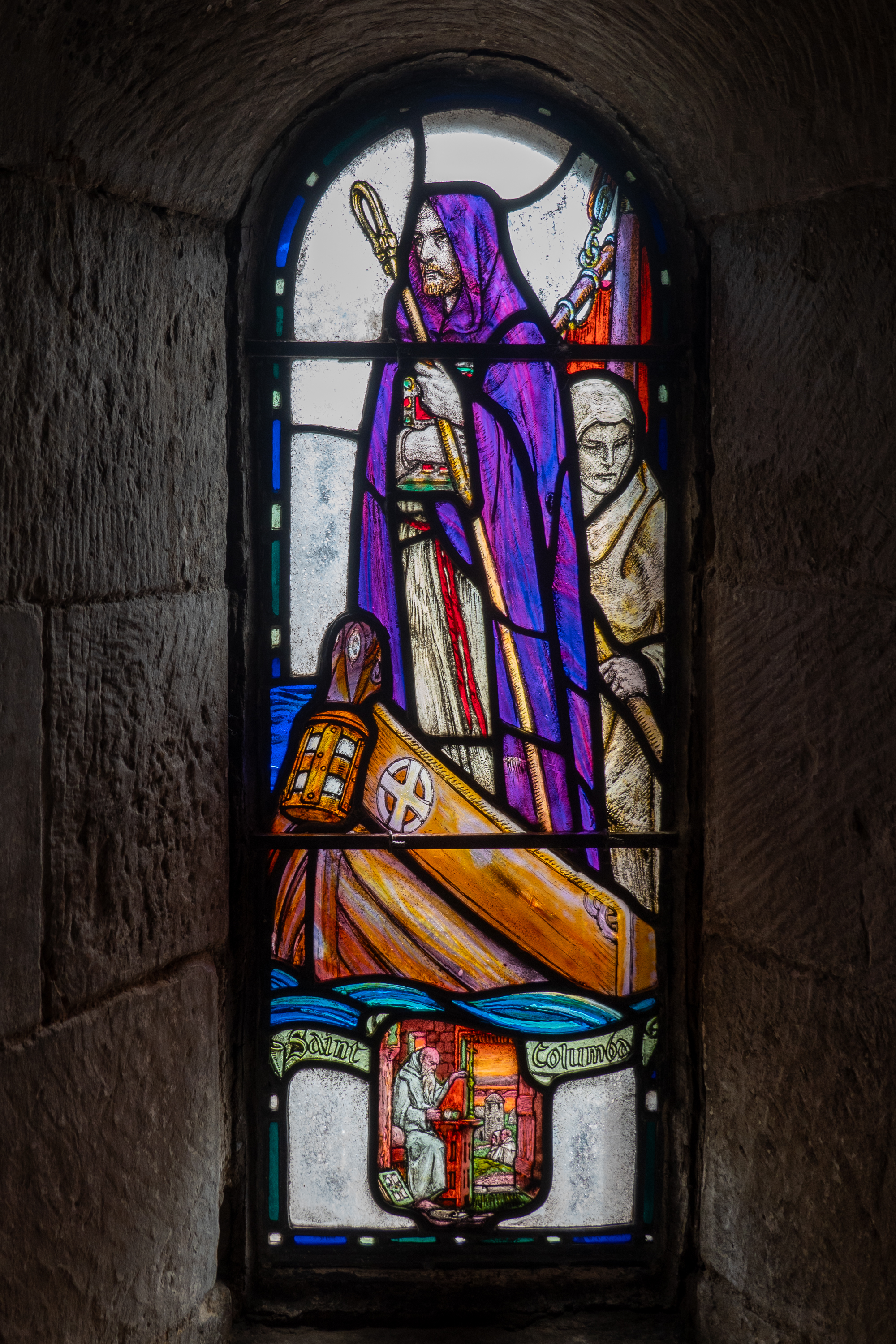
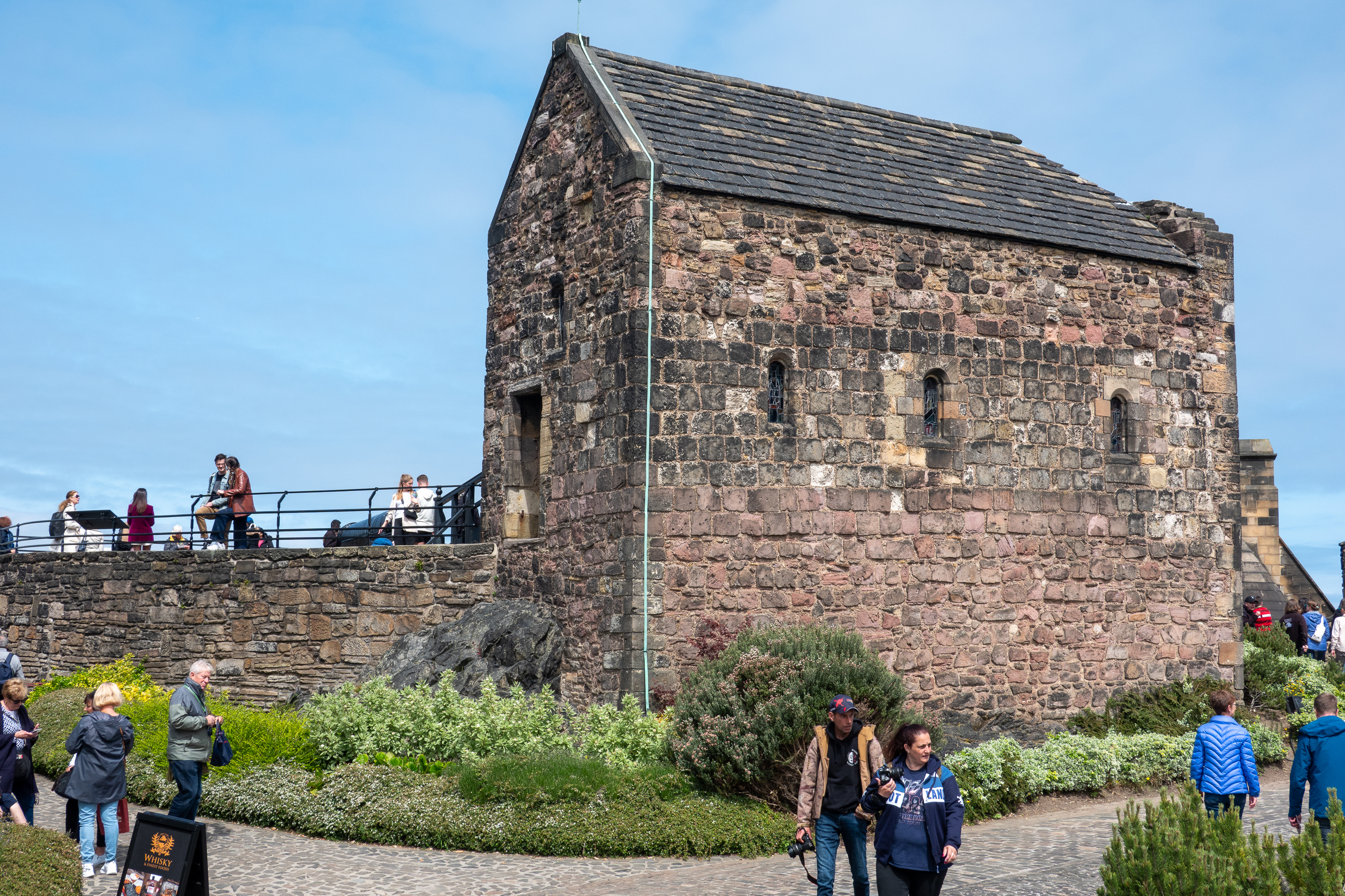
Denise loved the tiny St. Margaret’s Chapel.
The tiny chapel is one of the oldest parts of the castle.
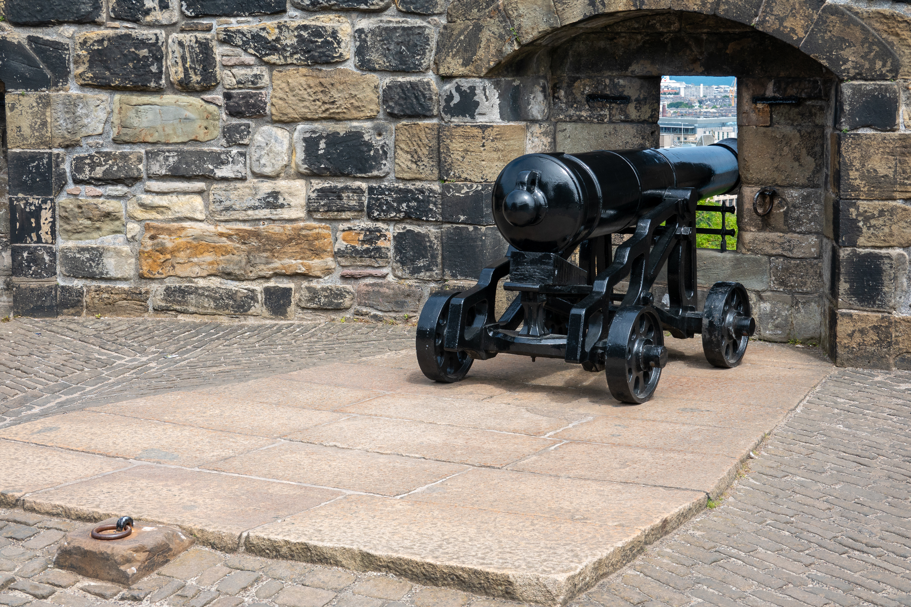
All of the recoil anchors are still in place.
Depending on the war, the cannon were used to defend the castle or to bombard the town.
Then it was time to start the trudge down the mountain to find our bus.
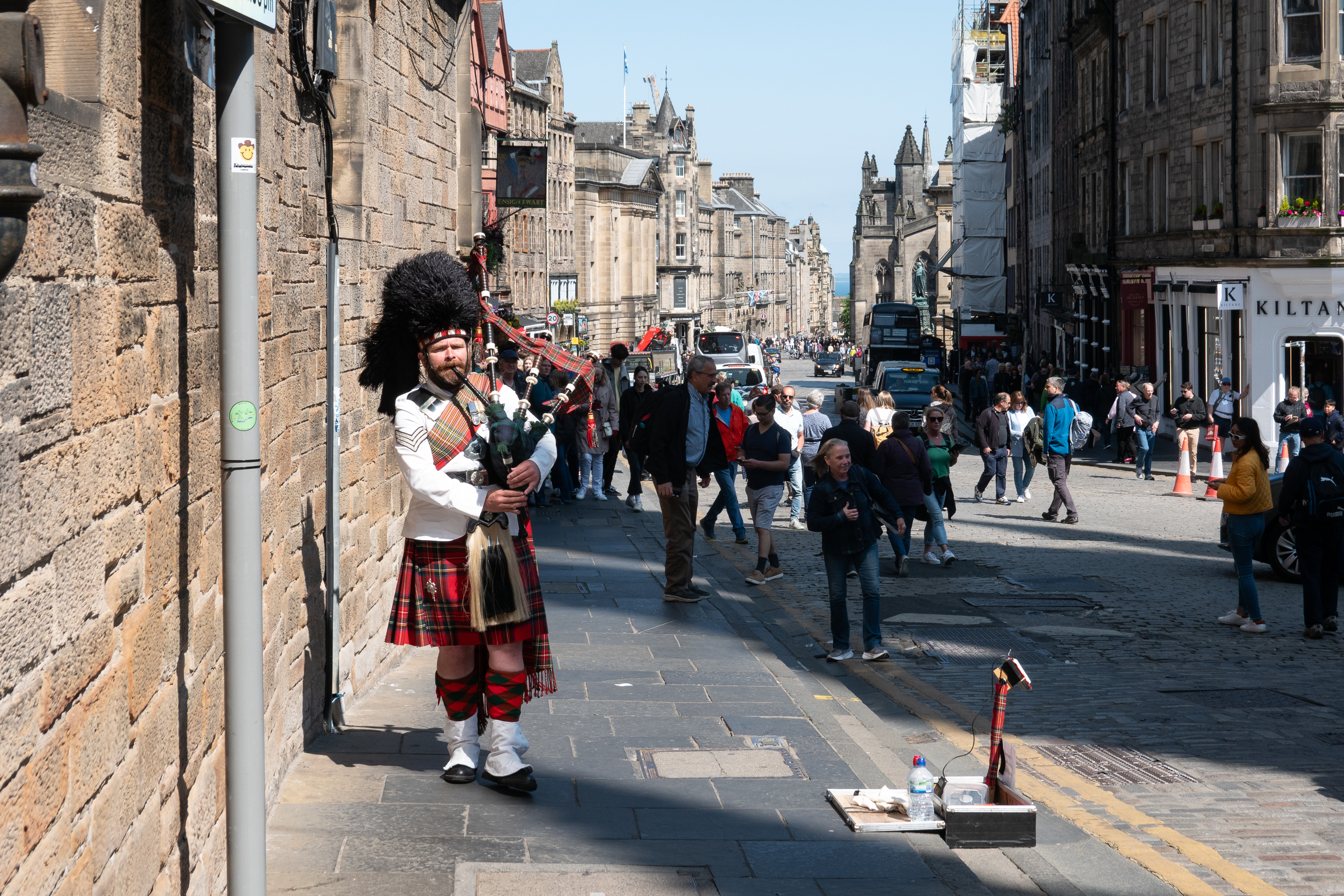
As it is Scotland, the busker was a piper in full regalia. We stopped to listen and made a contribution as he was very good. A wonderful, magical moment.
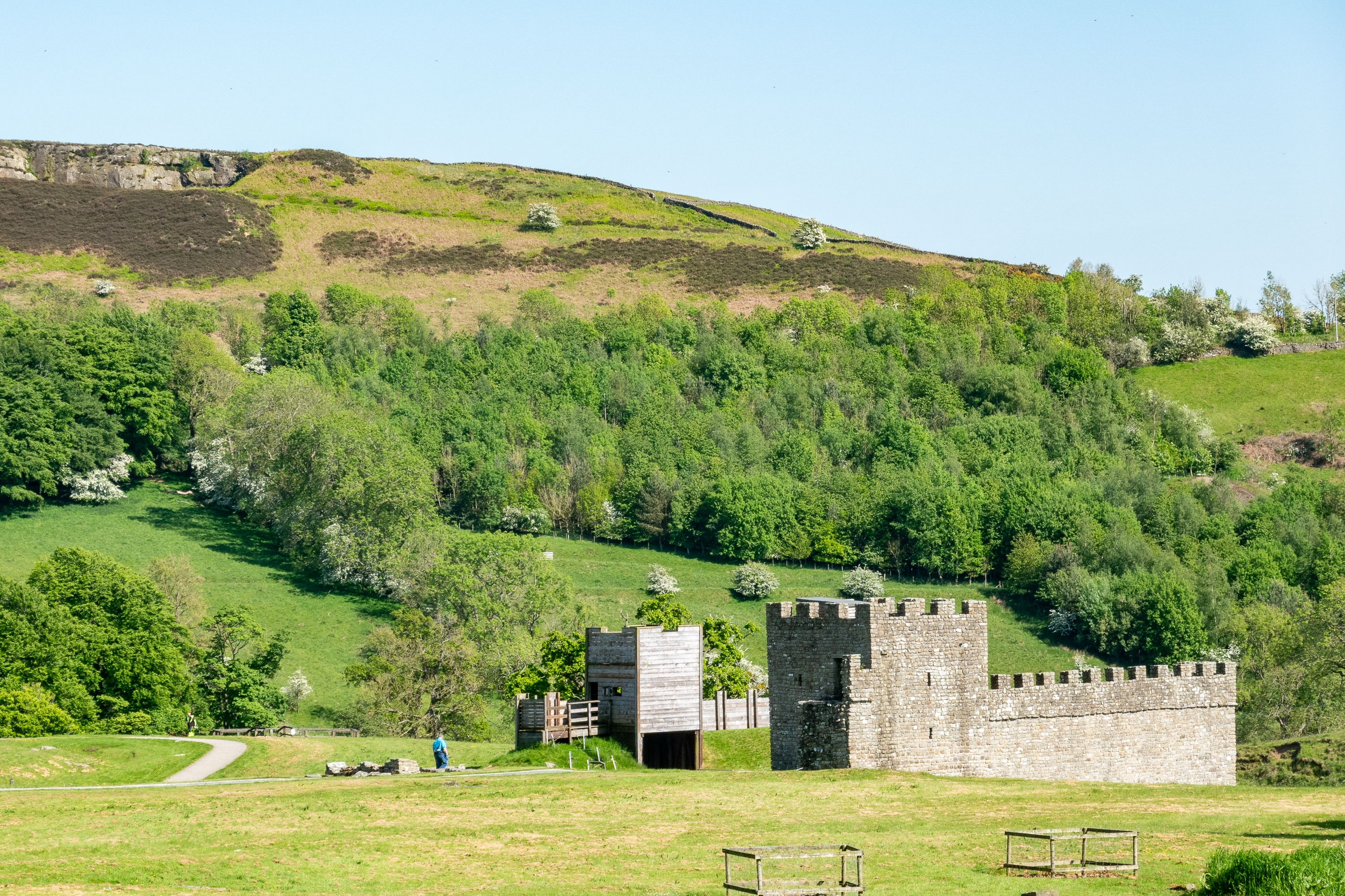
Bank Holiday weekends finally over, we headed north to revisit Hadrian’s Wall, an area we had visited years previously. The last time we visited it was pouring rain! This time the weather was much better. So much so that, once installed in our campsite, at Brockalee Campground, we decided not to waste the sunny afternoon and set off on our bikes to see if we could find the Roman camp at Vinolanda again.
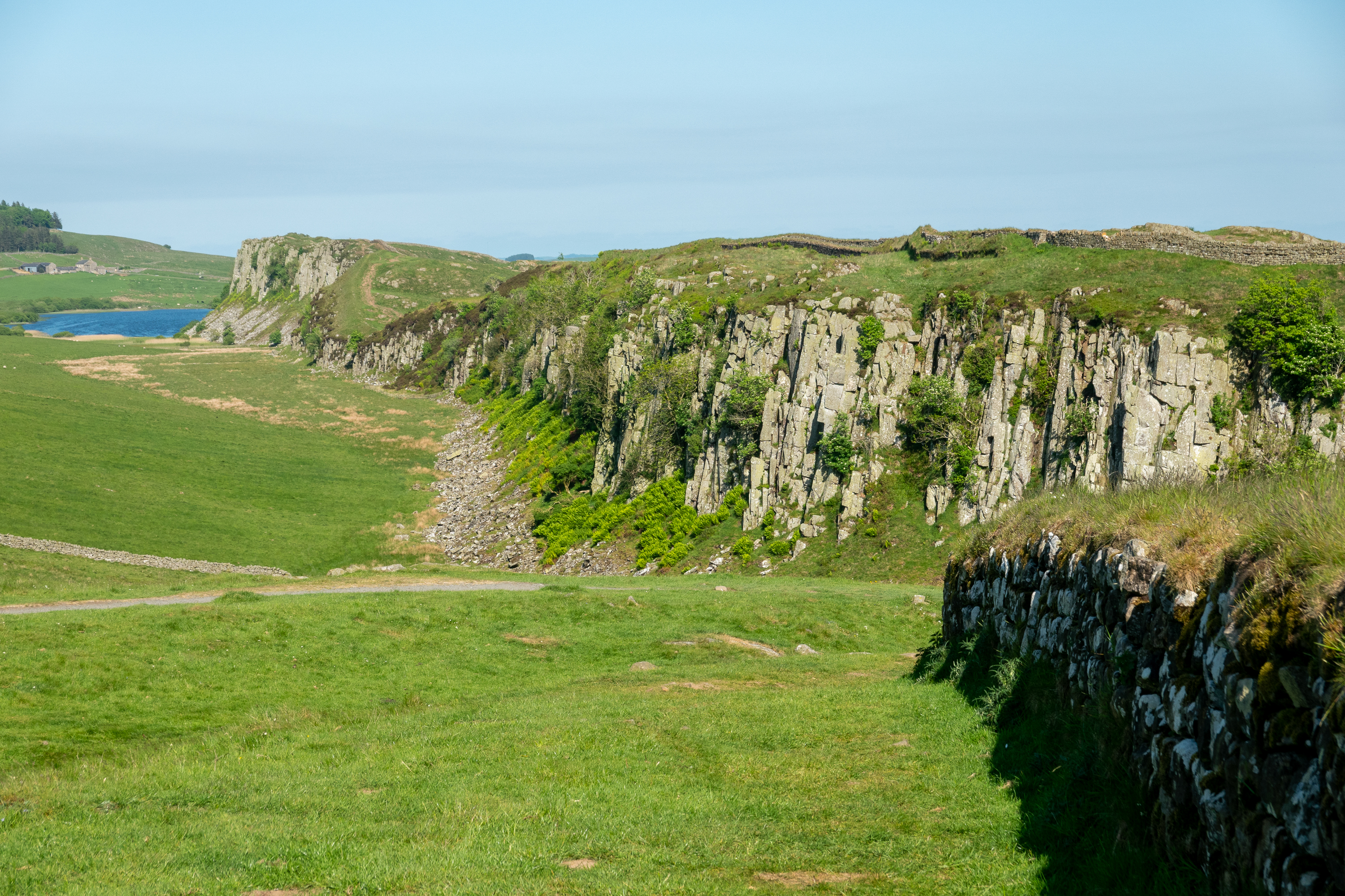
The view from Steel Rig may be the most iconic view of Hadrian’s Wall. You can imagine all of the Roman soldiers (mostly auxiliaries) pulling long boring duty on the wall.
The views on a sunny day were so much better than they had been in mist and rain.
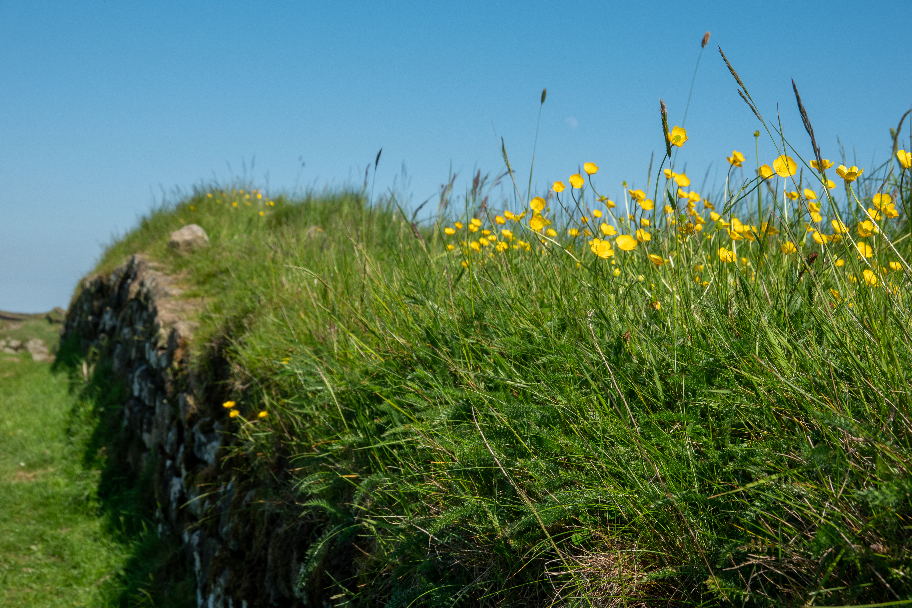
Flowers on the wall, literally.
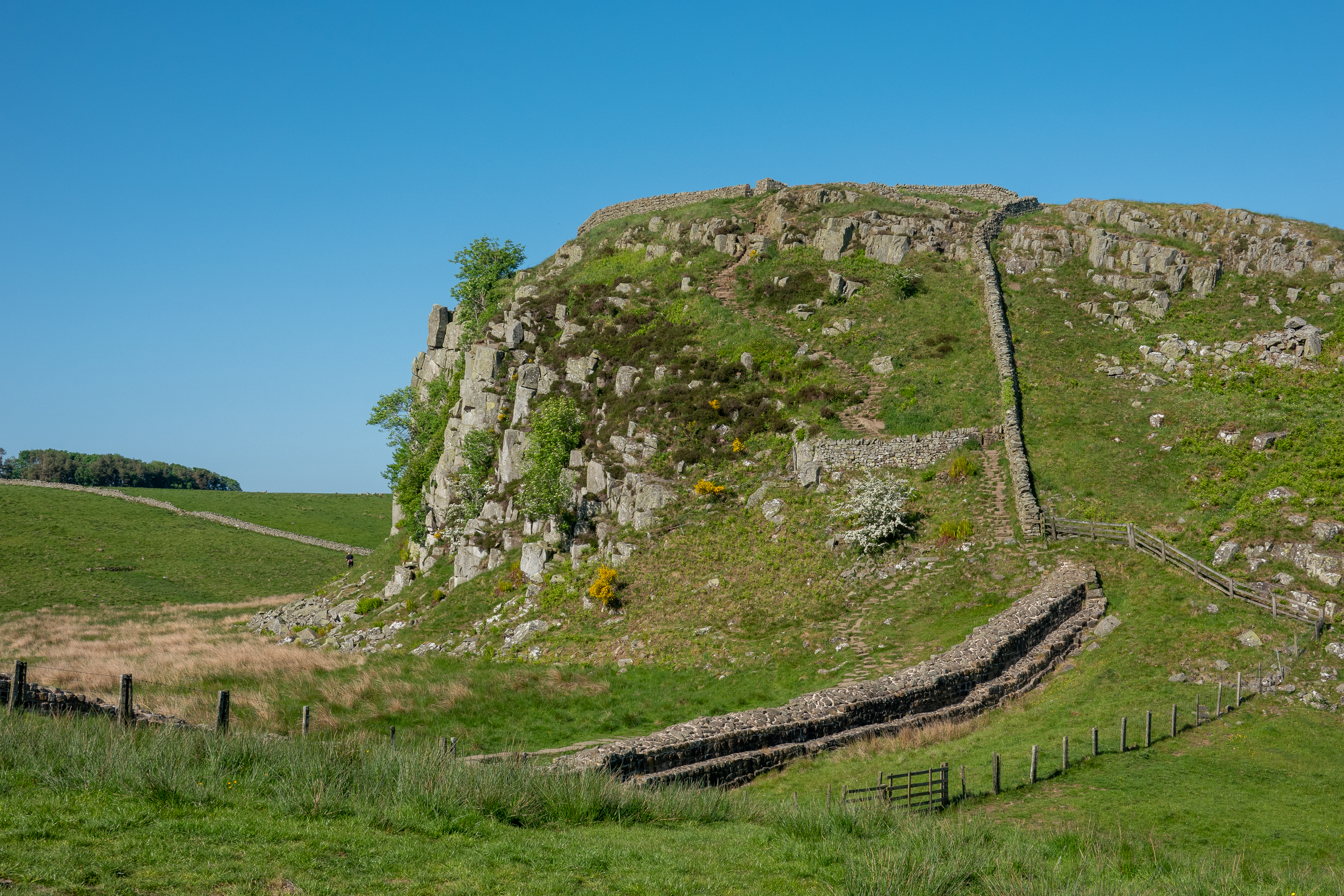
The wall snaking up the hillside.
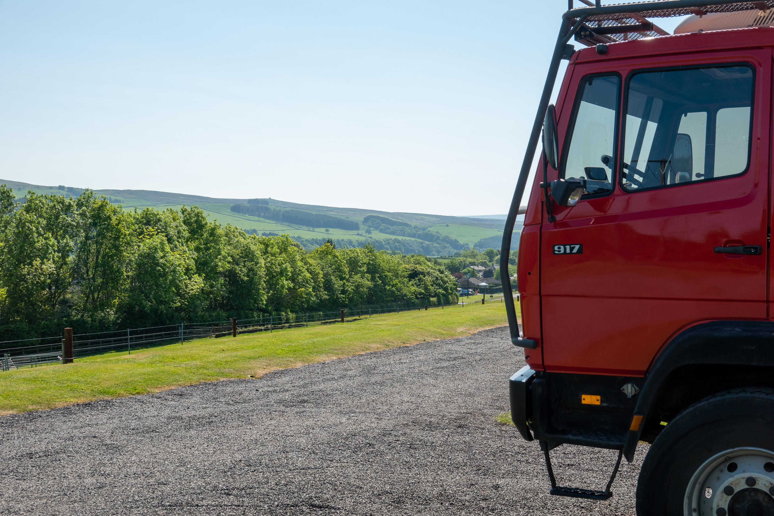
The Brockalee Campground is a small site with a superb view over the hills and just up the road from Hadrian’s Wall and Vinolanda. We certainly would recommend it. (https://www.campingandcaravanningclub.co.uk/campsites/uk/northumberland/hexham/brockaleefarmcampsite/) On our way out, we decided to revisit the Roman Army Museum. (https://www.vindolanda.com/roman-army-museum) This is a really well done museum with excellent, detailed presentations and recreations; an essential stop for anyone visiting Hadrian’s Wall. We spent a great hour with a medical doctor who, in costume, did a detailed presentation on Roman medicine and surgery.
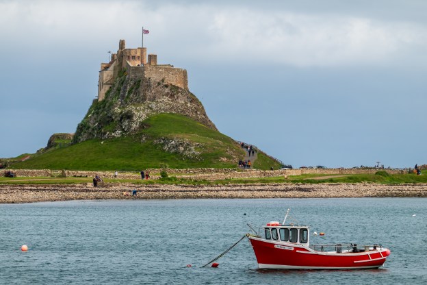
Today Lindesfarne is home to fewer than 200 people and accessible only by a causeway at low tide, and not a place where you would want to try to park a large truck. So we booked a boat trip to Lindisfarne from the town of Seahouses.
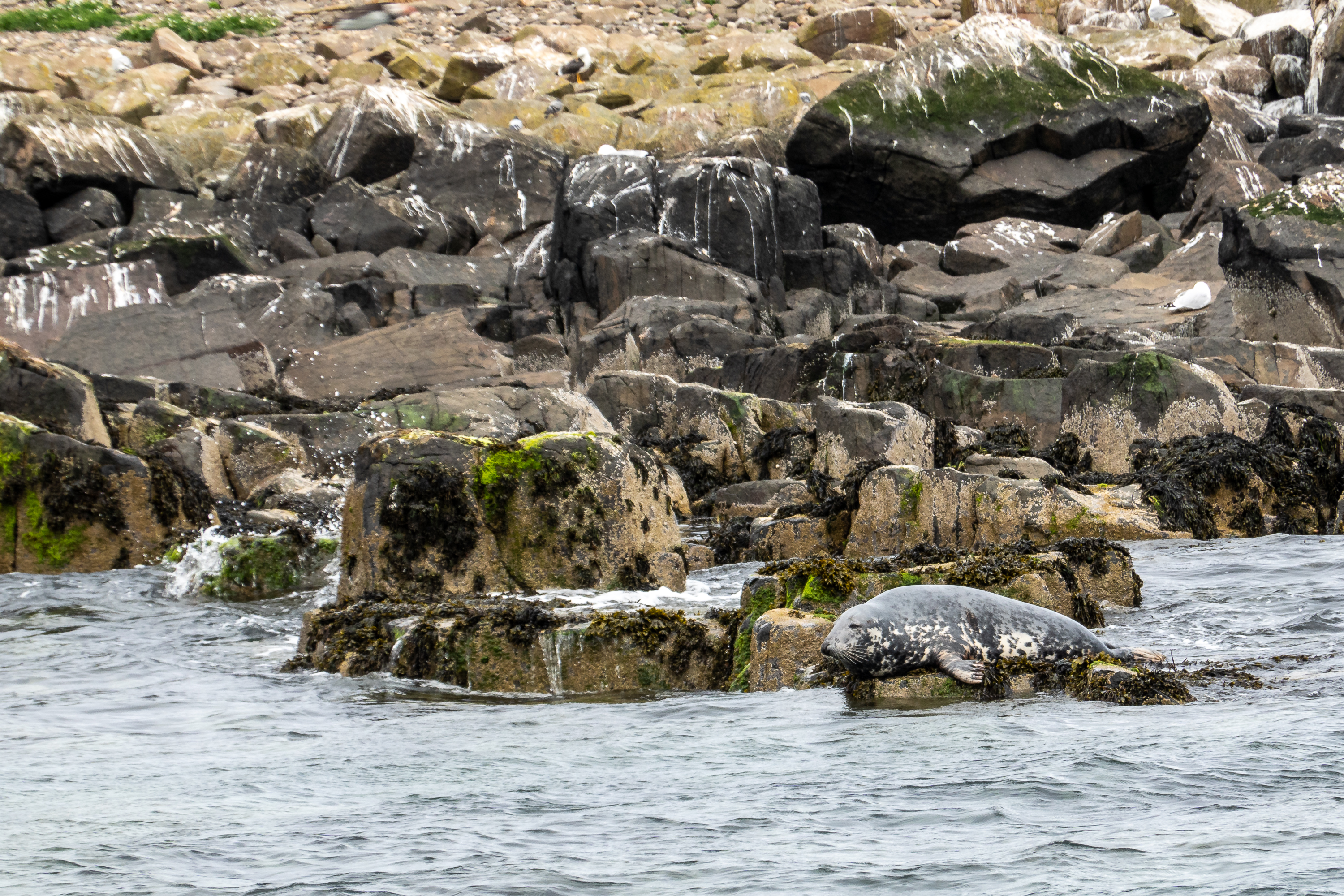
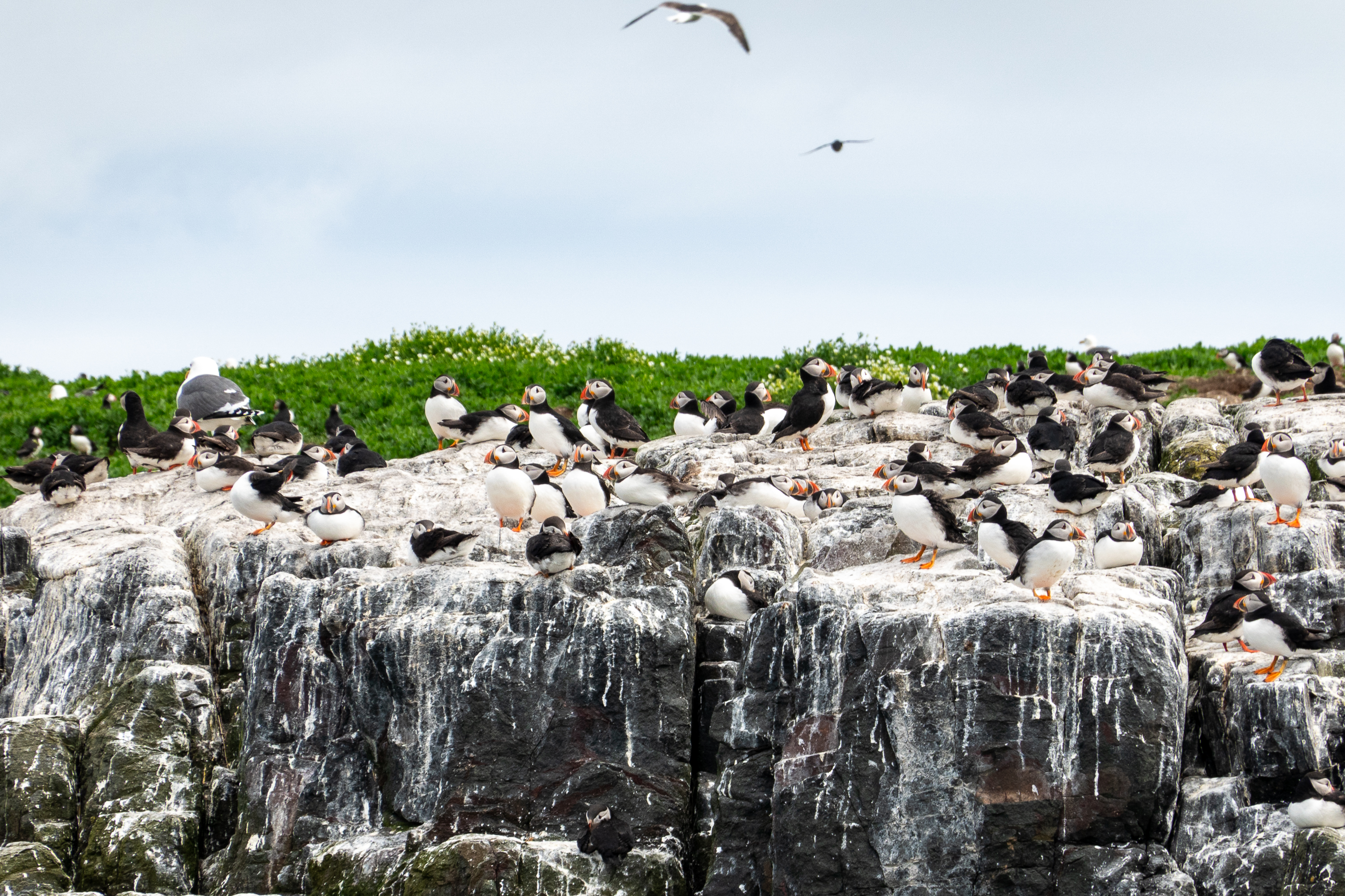
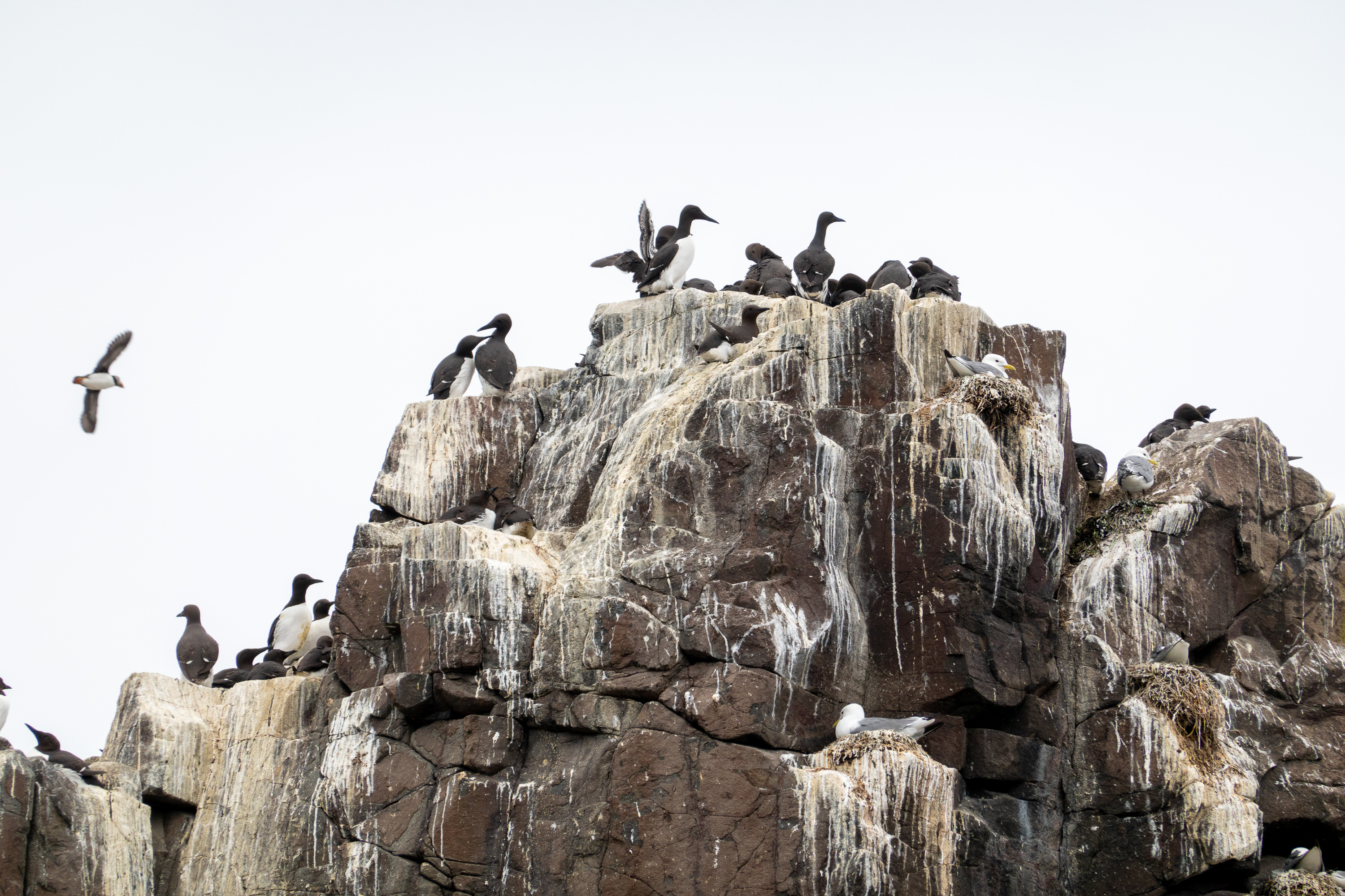
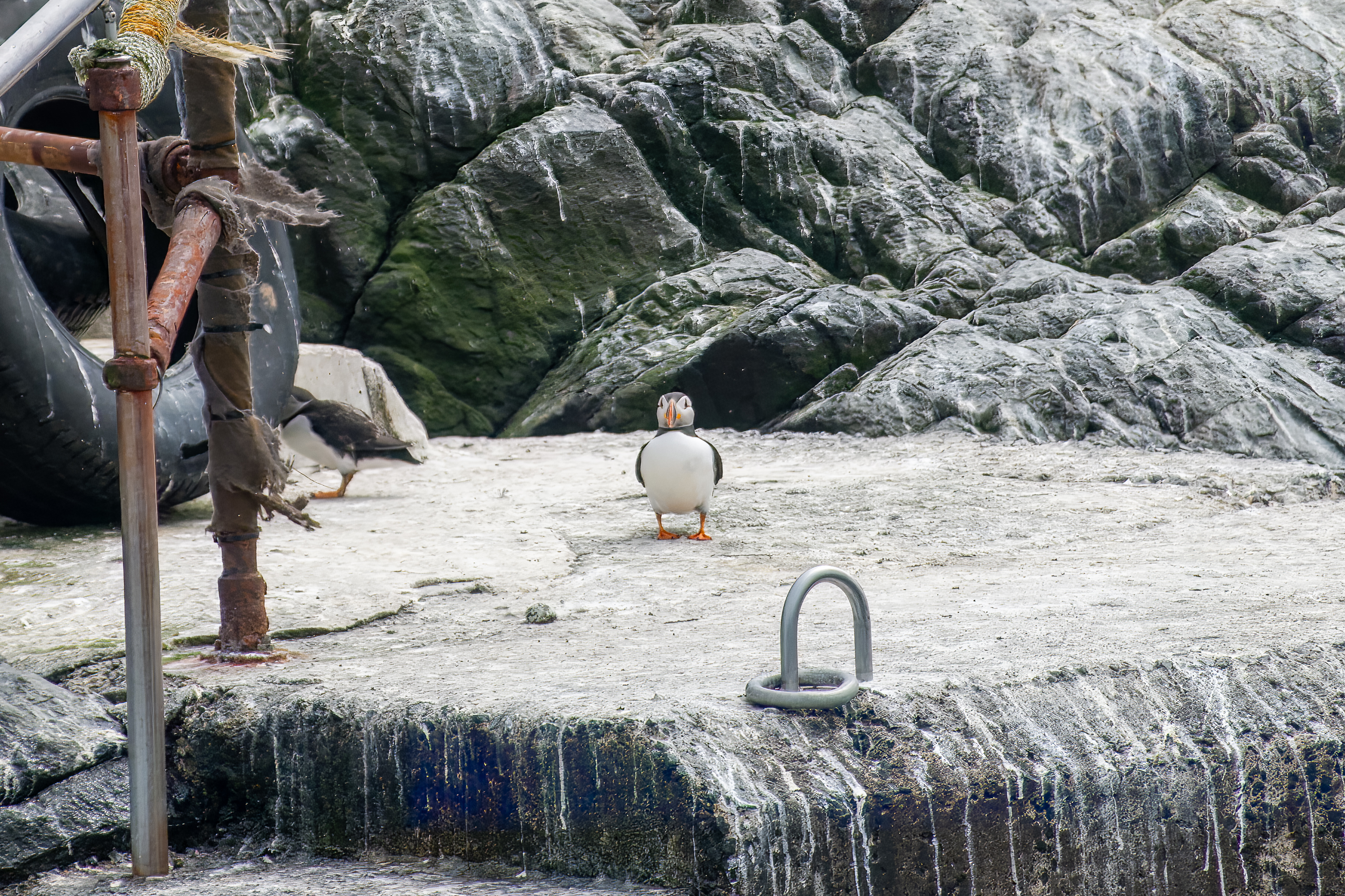
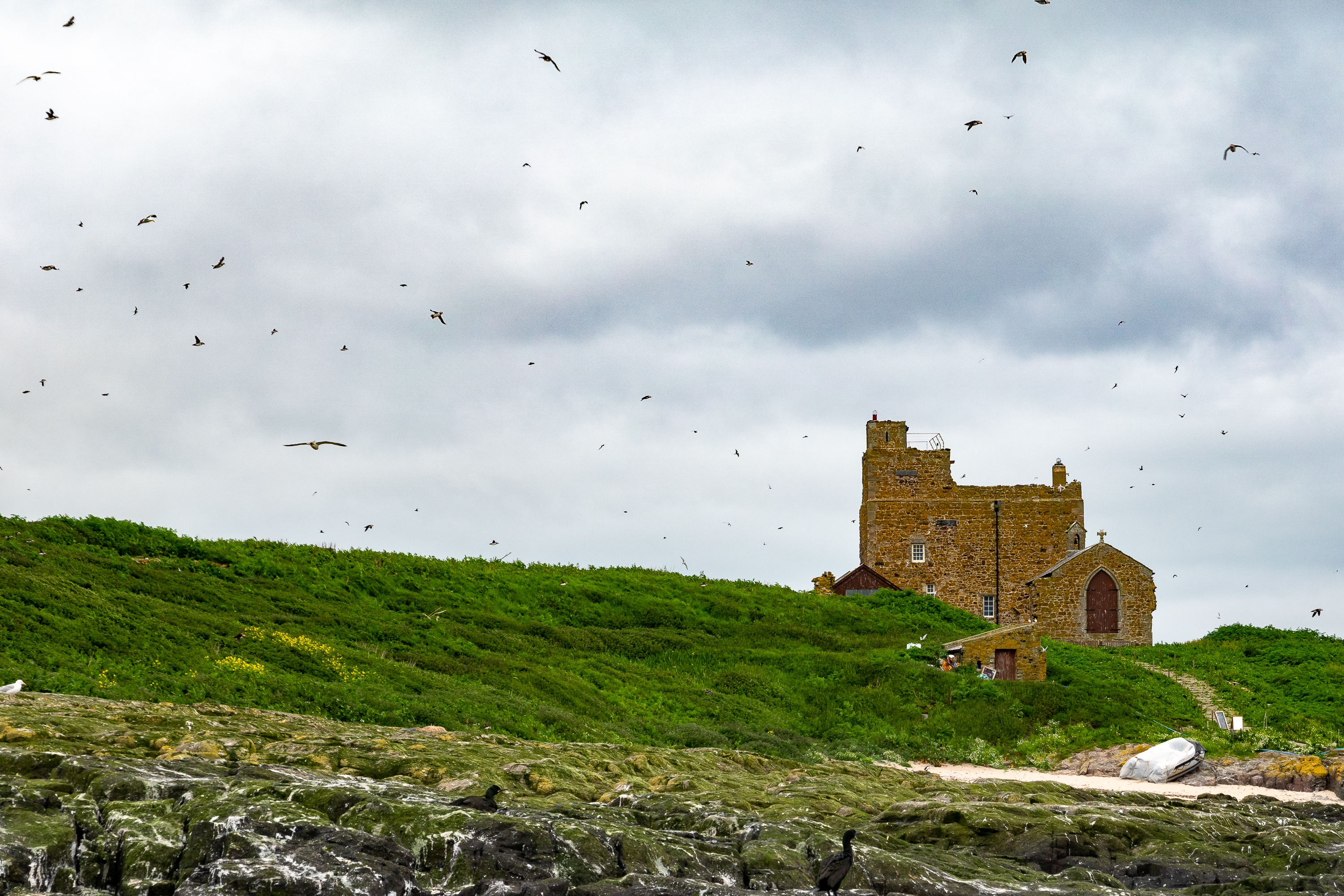
The day dawned grey and cold and the sea was quite rough. We were glad to have dressed warmly for the sea crossing as there was no shelter on the boat. The best part of the trip was passing by the Farne Islands which are closed to landing because of the risk of avian flu. Sailing by, we were able to see thousands of nesting birds, kittiwakes, ghilliemoffs, shags, puffins and a gannet or two. We also saw a number of grey seals.
Sleepy SealEverybody’s favorites, puffins.
Millions of nesting sea birds. The aroma is breathtaking.Don’t even think of landing here!
Abby ruinsOld Lighthouse
After about an hour sailing around the islands, we sailed up the coast past Bamburgh castle to Lindesfarne.
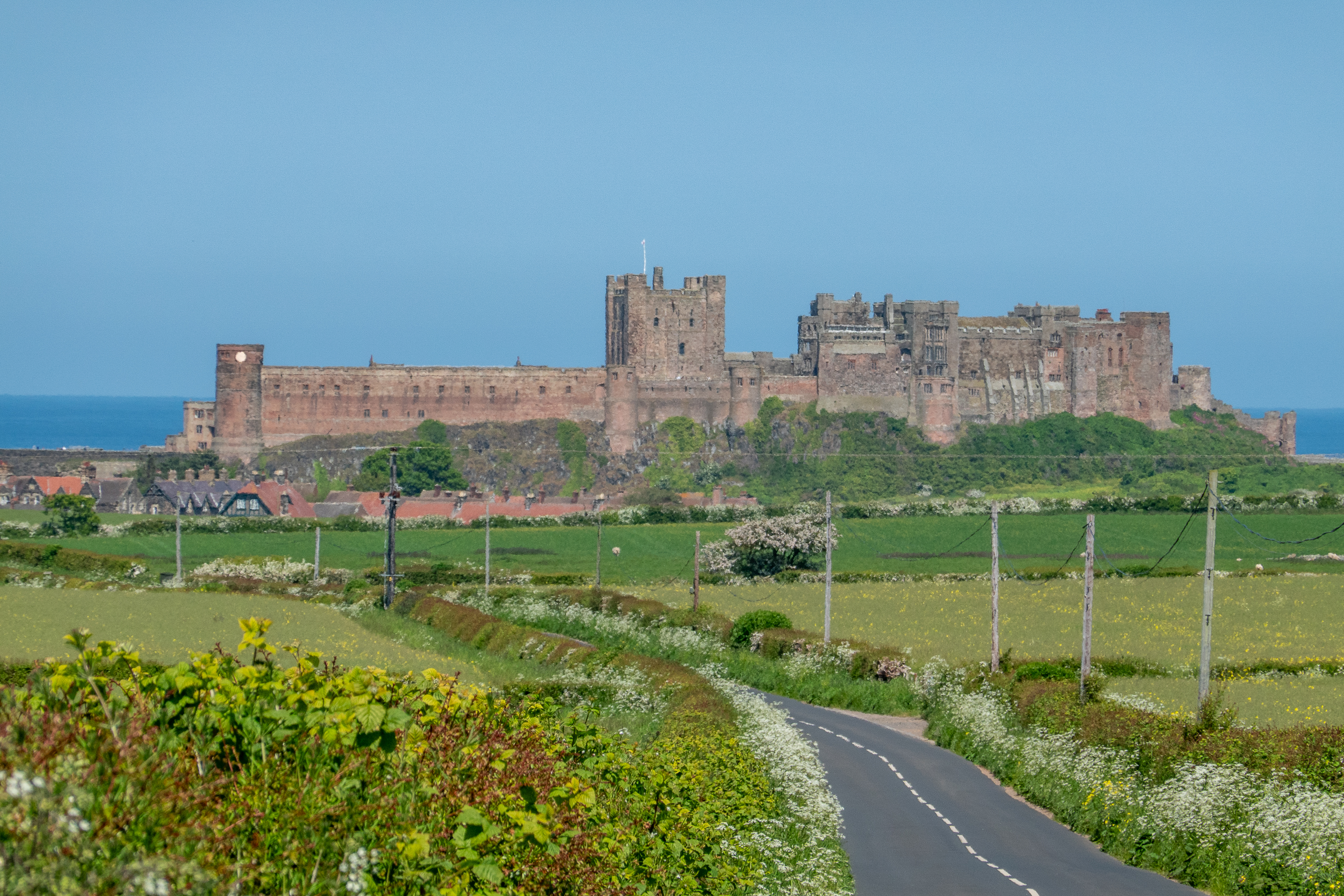
Bamburgh Castle from the sea.
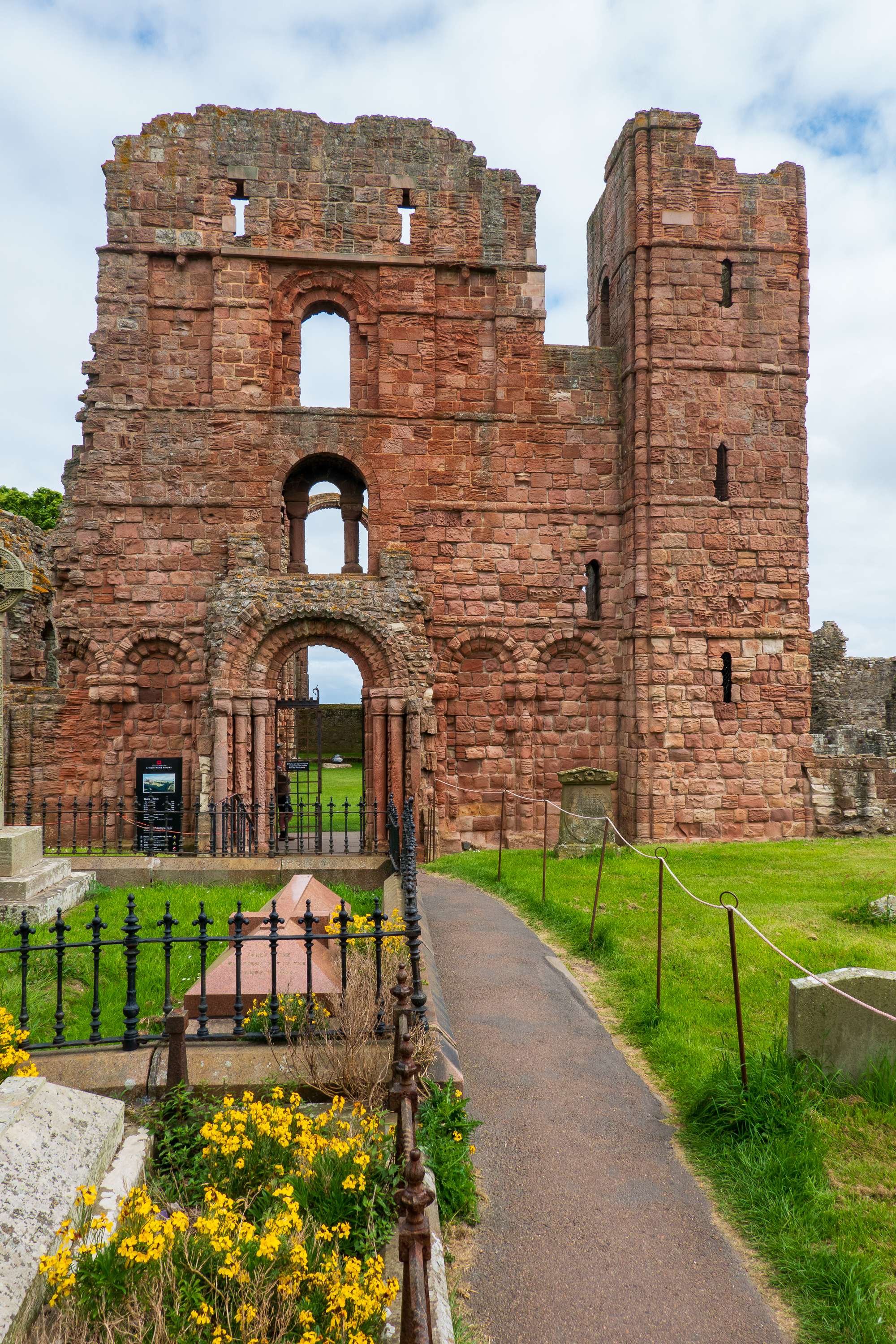
The tide was high in Lindisfarne so tourists could not drive the causeway and thus there were no crowds. We visited the main part of the town, enjoyed lunch in a cafe, and wandered the ruined Priory.
We spent some time in the (relatively) modern church, which provided a lot of information on the history of Christianity on the island. We then returned to the boat and set off for Seahouses. The highlight of the return trip was a pod of dolphins playing in the water just off of Bamburgh Castle. Great fun! Everyone on board was thrilled.
At Seahouses we were greeted with a parking ticket! Grrr! Took three days for them to finally post it so we could pay. Double GRRRR!
The next day we cycled into the town of Bamburg to visit St. Aidan’s Church and Bamburgh Castle.
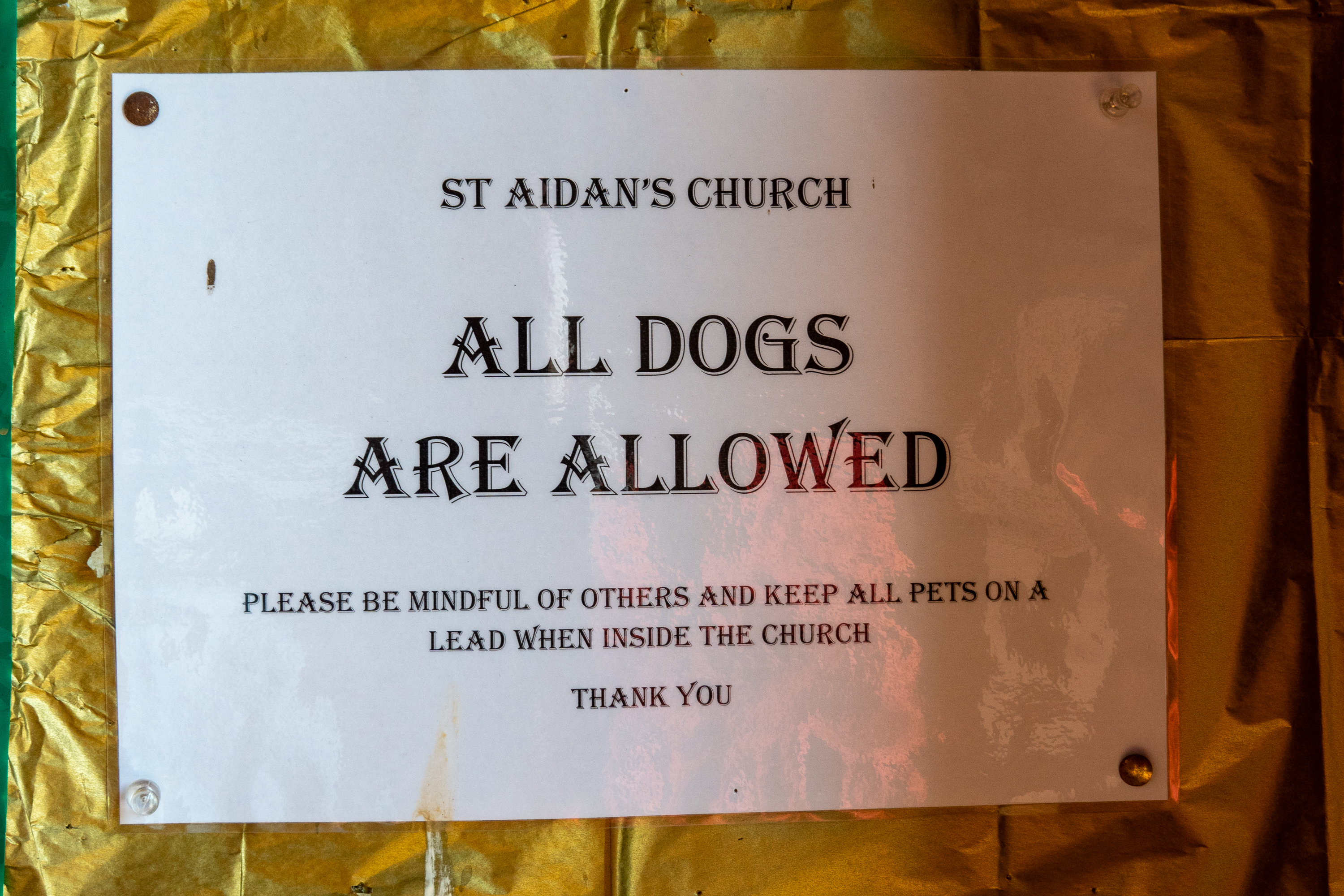
Water to nourish the canine soul.
Beam from the original church, said to have been touched by Saint Aiden himself.Our kind of church!
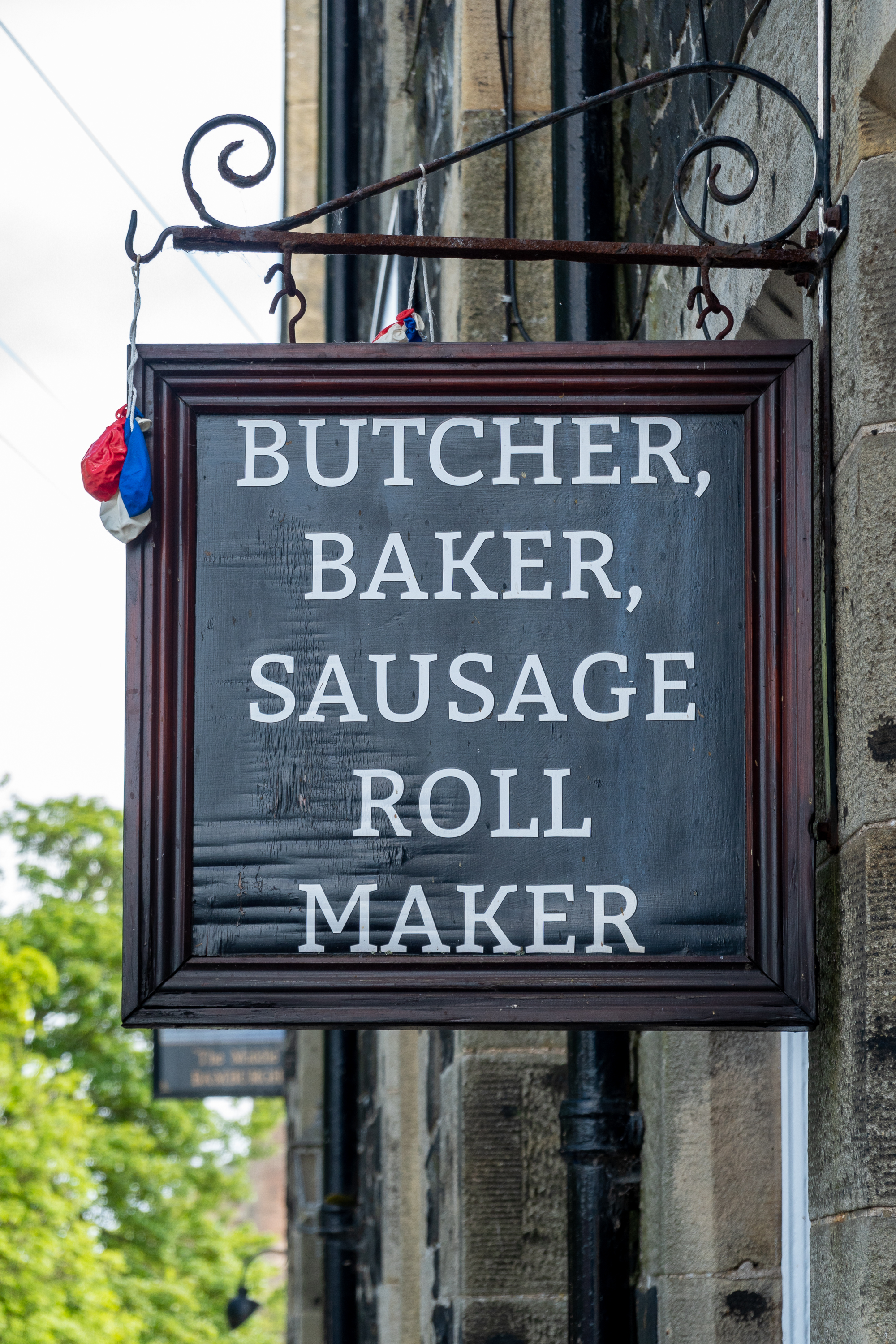
Lunch was a snack pastry and sandwich from a local “Butcher, Baker and Sausage Roll Maker”. (And it was very good.)
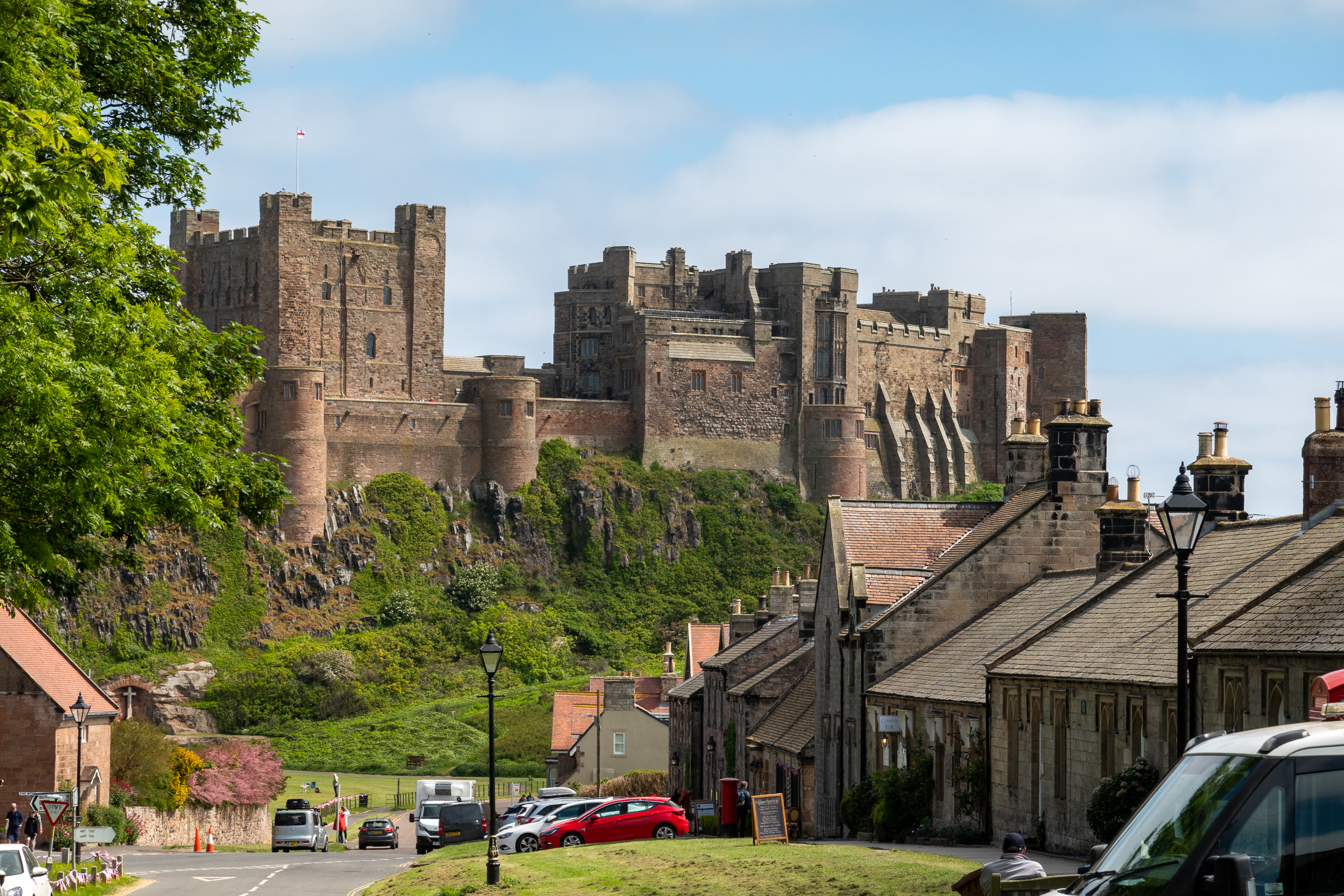
Bamburgh Castle is used, very anachronistically, in the TV series “The Last Kingdom.” Anachronistic not because of location, but because of architecture. The castle you see today is a Victorian fantasy rebuild of a real medieval castle. At the time of “The Last Kingdom,” it would have been a Dark Ages wooden stockade, well within the ability of the Vikings to raid and capture.
Bamburgh Castle from the town.
The foundations of the keep are Norman and authentic.Farne island with lighthouse and ruined abbey.
Town from castle.Castle from further inland.
We confess to enjoying a scone and cappuccino coffee at the Castle also. We even cycled back into Bamburgh town the next day to enjoy some ice-cream.
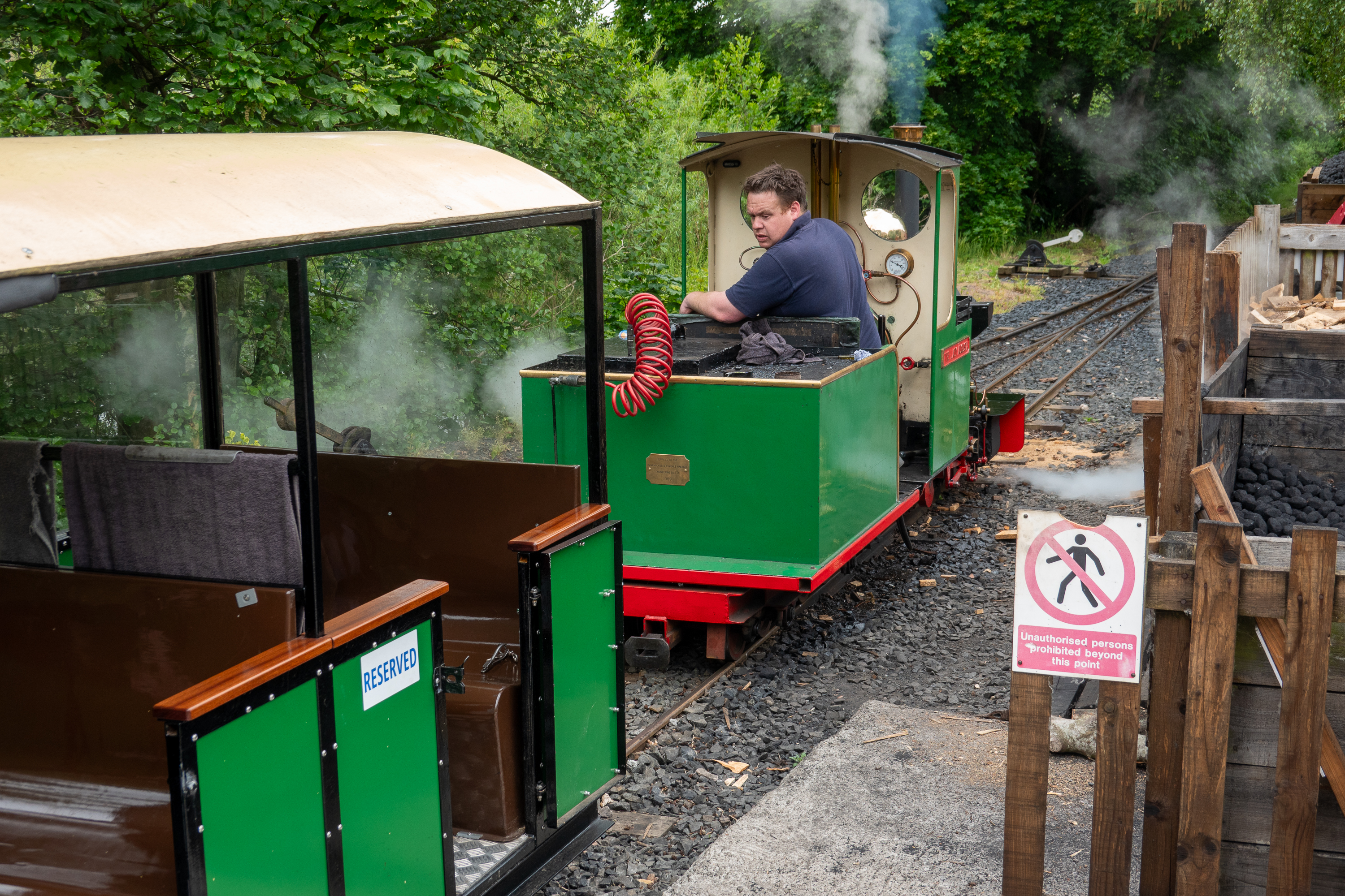
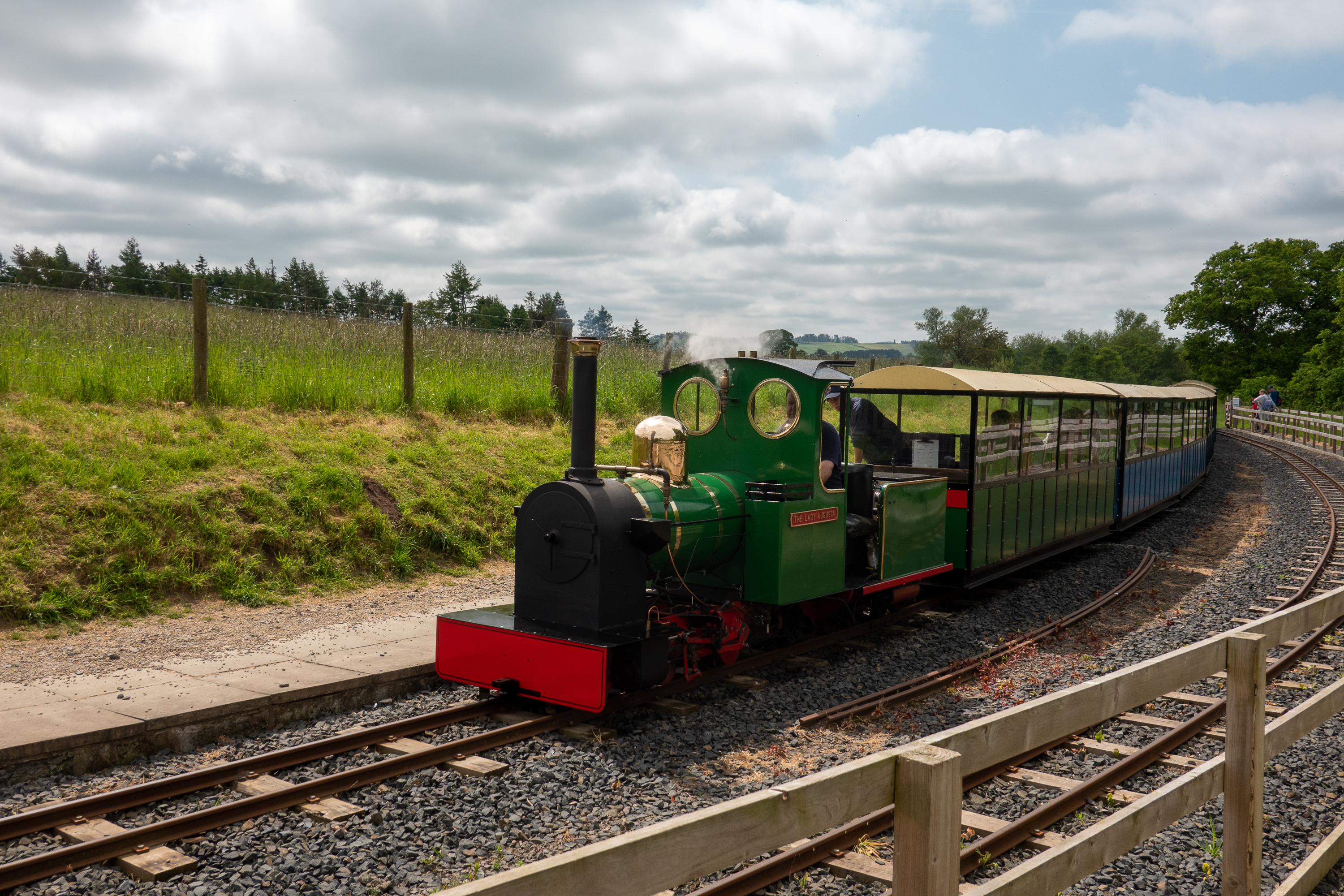
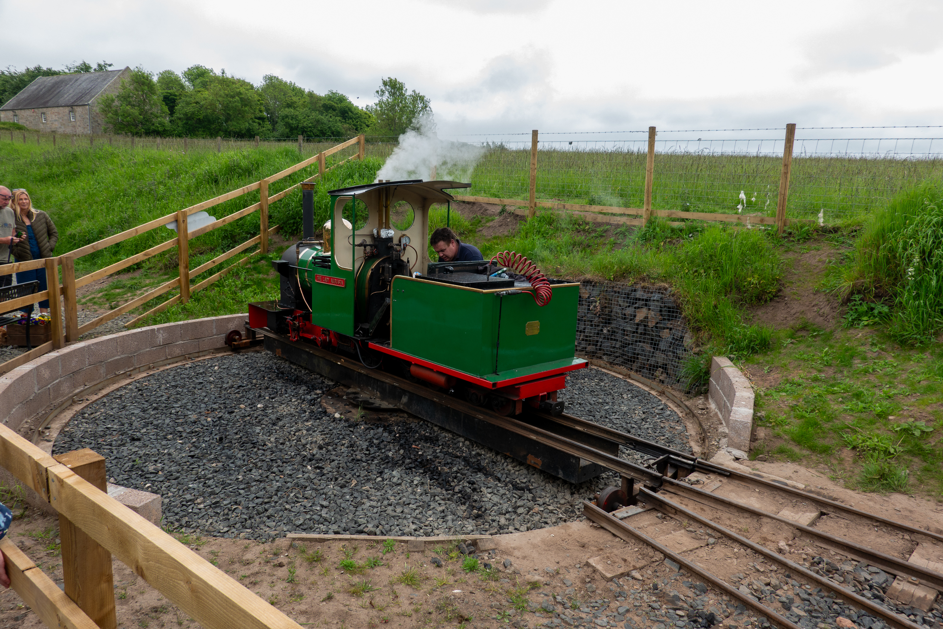
Then it was time to get back on the road to Scotland. On our way to Edinburgh we discovered the Ford and Etal miniature narrow gauge steam railway, so we stopped off for a ride. (https://www.heatherslawlightrailway.co.uk)
Yes, it is a real steam engine.
Coupling up to the train.
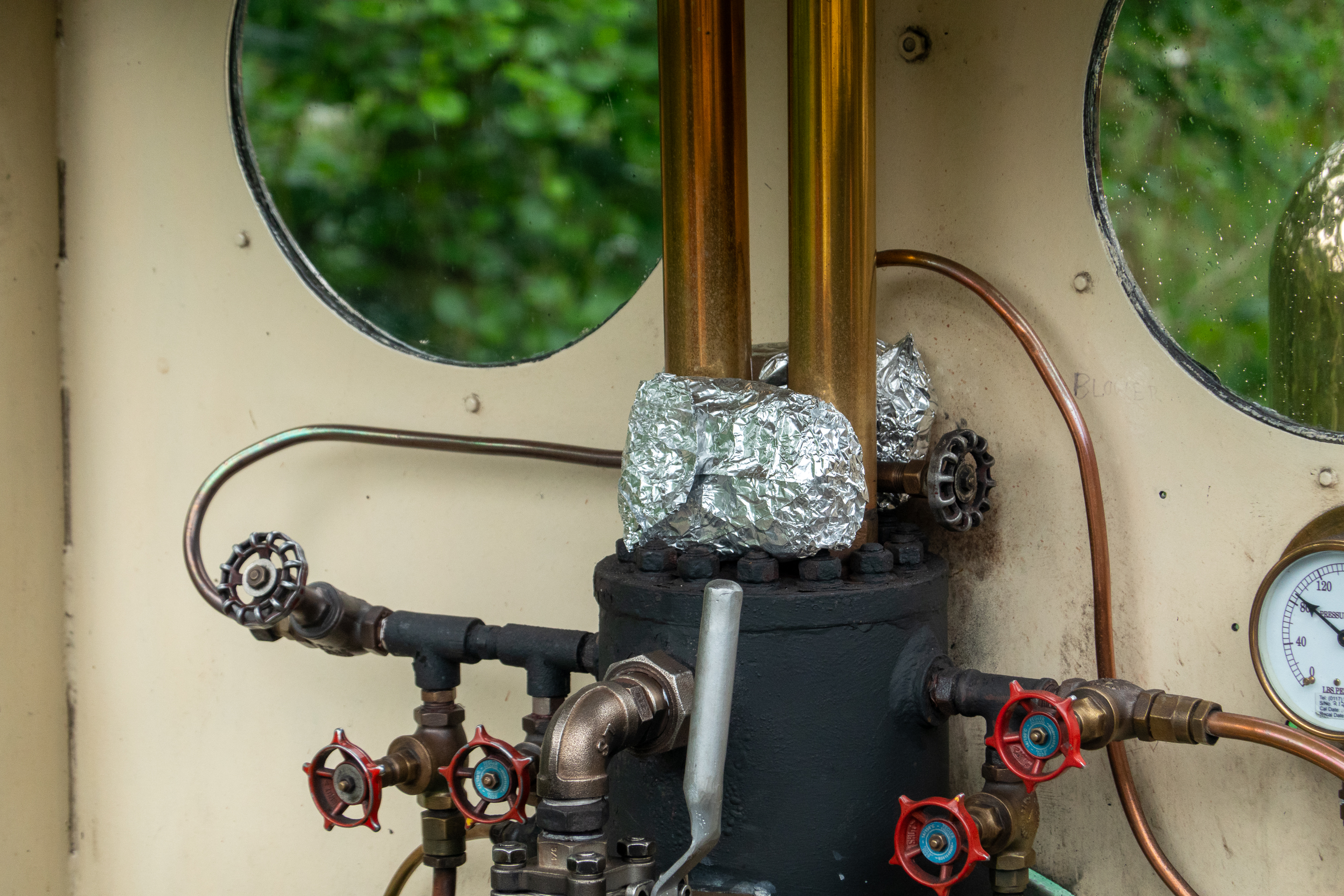
Potato baking for lunch.
With a gauge of only 15 inches, it was almost like riding a toy train, but it was built to do real work. Quite fun and we enjoyed a lovely lunch in the Lavender Tea Room in Etal.
Pulling into Etal Station.
Tiny Turntable
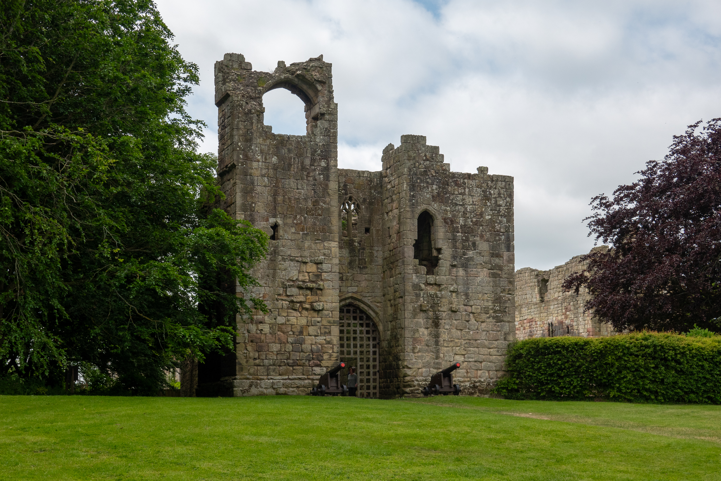
The ruined Etal Castle also provided an interesting visit. This was the medieval English equivalent to the Roman mile castles, set up as a defense against the Scottish reivers.
Impressive gate house.
Denise in the inner ward.
It was an interesting study in a miniature castle, barely larger than a fortified manor house. It could not resist the full Scottish invasion at the time of the Battle of Flooden.(https://en.wikipedia.org/wiki/Etal_Castle)