The Dead Sea and Madaba

Fred remembers staying at the Dead Sea Hotel as a child. It was right at the mouth of the River Jordan, just a few miles from the main Amman to Jerusalem road. The hotel is long gone now, but it was quite lovely.
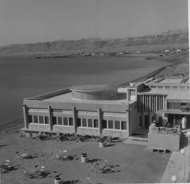
The Dead Sea Hotel

Taken about 1957.

The Dead Sea is famous, of course, as the lowest point of dry land on earth, at about 1300 feet below sea level. The used to be a sign on the road to Jerusalem to let you know when you had climbed back up to sea level. Like the Great Salt Lake in the United States, it is very salty, so salty that it is almost impossible to swim underwater.

Sea Level Sign

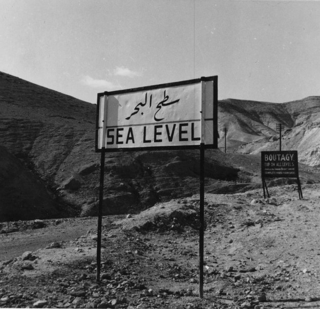
Sign on the road from Jericho to Jerusalem

We checked into our hotel and decided that we must do the needful and swim in the Dead Sea. So we changed into swim garb and headed out. With the loss of the West Bank to Israel, all of the hotels are in a huge tourist complex on the east bank of the sad and a hit higher up the slopes. The level of the sea has dropped so much that it is actually quite hard to get to the water. We walked for about 20 minutes down to the “beach” which turned out to be rocky and very hard to walk on. But we made it into the water, flopped around a bit, and then emerged. “Been there, done that”!! It is indeed salty, so salty that you cannot sink and it really stings if it gets onto your face! We rinsed off, walked our 20 minutes back to the hotel and Denise enjoyed a swim in the lovely warm pool. Grumbling that “it wasn’t like that in the old days!” Fred went off to enjoy a massage in the spa.

The Marriot Resort at the Dead Sea.

The Marriot Resort at the Dead Sea.

We watched the sun set over the West Bank and the lights of Jerusalem start to show on the ridgeline and headed for dinner. Fred was amazed, Jerusalem simply wasn’t that large back in the day.

Dead Sea-2

Sunset over the West Bank.

We then went to watch the belly dancer perform while we enjoyed Turkish coffee and even stayed for her second show before calling it a night! Fred’s mother could never watch scenes of “belly dancing” in Hollywood films. She was an enthusiastic ballroom dancer and one night, in Beirut, she and a friend, also an excellent dancer were watching a dance performance. When the set ended, the friend asked the dancer to show her some of the moves. The dancer laughed and said, “Oh Madame, for you it is too late; I stared learning when I was five years old.” So although Rita Hayworth and others are indeed lovely,  their Salome initiations look very awkward when you have seen the real thing. It was pleasantly warm and it was fun to people watch. Everyone from tourists in shorts to ladies in abayats – Jordan is a wonderful country.


On to Madaba via the Baptismal Site

 Off again the next morning, we made a last minute decision to go to the Jordan River Baptismal Site, a visit that proved fascinating and far more interesting than Fred had anticipated. Fred was in curmudgeon mode, grumbling that he had already been to the river on a picnic and one of his friends had “baptized” himself by falling in. (His mother had not been pleased.) We drove to a central ticket office/car park where we waited for a bus and guide. The Jordan River is the border between Jordan and Israel and security is very tight and thus the various sites can only be visited in a group.

The first thing that we learned is that many of the sites were re-identified and excavated only after Fred left Jordan in 1960, so, with the prospect of “new” ruins, Fred got all interested. Like all things Biblical, there is controversy about the Baptism. The Gospel of John says that it took place in “Bethany beyond Jordan.” The River Jordan has, of course, moved many times over the years. It is also worth considering that while may people today ascribe special qualities to the River Jordan, to John the Baptist, it would have simply been another, albeit larger, river. Thus there is considerable reason to believe that he would have actually performed the Baptism in the clear waters of the spring at Bethany, rather in the muddy river – what is the point of a spiritual cleansing in dirty water. Whatever the truth, by third century the early Christians accepted Bethany as the site and built many churches there. (The site is on the Madaba Map.) These churches were destroyed or fell into disuse with the Muslim conquest and are only now being unearthed. There is an excellent site on the subject and if you drill down, there are detailed accounts of the history of the site. You must remember, however, that this is a Jordanian government site and there is intense “competition” from the Israelis to attract Christian, especially American, tourists. Read on: http://www.baptismsite.com

After a short wait, our bus arrived and off we went, passing first by the site of Elijah’s ascension, before other sites connected to John the Baptist. As noted on the site linked above, you could spend a long time visiting all the sites in the local area, many of which provide an interesting insight into the nature of early Christians. The Jordan River is much reduced in size since the 1950’s in part due to water being removed from it by Israel. (Israel’s “miracle in the desert” comes with a price, much like our depletion of western aquifers.) The river has always been  muddy and most historians have established by reading travelers’ accounts and through archeological digs that the true baptismal site is probably about 60 meters from the present river, at the site of a spring which used to drain into the river. There are ruins of the various churches which were built over the spring at different times and it is very possible that this clean spring water was used for baptisms, rather than the always muddy Jordan.

This link describes the rediscovery and the purpose of the foundations in the photo:http://www.baptismsite.com/archeological-findings/

Dead Sea-10

Ruins of Byzantine Church constructed over the spring where it is believed that John baptized Jesus. The large objects are the foundation pillars. As was the Byzantine custom, the church often completely enclosed the site.


Dead Sea-11

Church built upon Church built upon Church

Dead Sea-15

Modern Church at the Baptismal site

The Jordan River site on the Israel side has been highly developed for tourists and we watched various visitors immersing themselves in the muddy and unsavory looking water.

Dead Sea-12Dead Sea-13


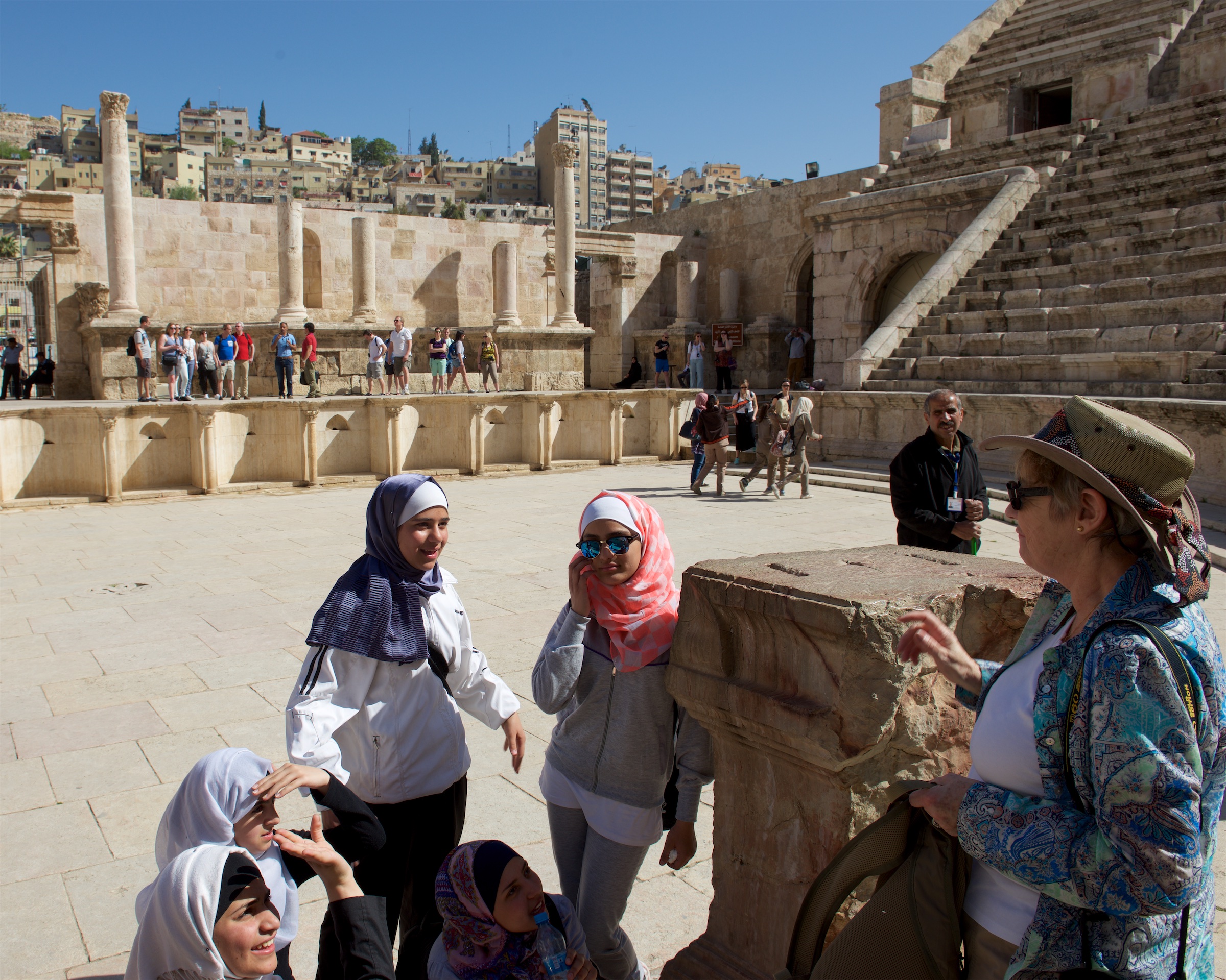
We then headed out to Mt. Nebo, where there is an old church called the Moses Shrine, which is reputedly where Moses saw the Promised Land before he died. The church was unfortunately closed but we did see an old mosaic from the church and, of course, a huge selection of schoolgirls! As a historical note, it is worth noting that one cannot see the land “flowing with milk and honey” from Mount Nebo, only the parched Jordan Valley. There has long been agriculture around Jericho, but the rest of the landscape, as you can see, is rather bleak. The fertile lands lie far beyond, between the Mediterranean and the hills were Jerusalem is located. It is possible that Moses stopped here because the people of Jericho blocked passage. Whatever the truth, Mount Nebo has long been a site of pilgrimage, traditionally along the old Roman road from Jerusalem.

Dead Sea-16

Dead Sea-18

Beautiful inscribed column, dedicated to Caesar Antonnius Pius. (Scholars debate his success against the Parthians and the Britons.)

More about Caesar Antonnius: https://en.wikipedia.org/wiki/Antoninus_Pius

On to Madaba, where we stopped first at St. George’s Church to see the famous mosaic map of the Holy Land, crafted in AD 560, it is the oldest map of the region and gives many insights into the region, including, as noted, the location of the Baptismal site. Jerusalem is shown, as is the Dead Sea with the fishes swimming away from the salt. There is also a small museum at the Visitor Center which we enjoyed.

Jerusalem

Close up of the medieval city of Jerusalem, showing the Cardo down the middle and the Church of the Holy Sepulcher in the foreground.

After a quick lunch, we headed to our hotel which proved to be in a residential neighborhood and quite nice. We took a much needed nap and then headed down to the pool for coffee and a nice chat with the Hotel Manager as the sun set. Dinner was somewhat of a disappointment but we had not noticed any obvious restaurants in walking distance, so decided to stay put. We should have been more adventuresome!


Jerash, Our exploration of the Decapolis Continues

And finally on to another Decapolis city, Jerash. (https://en.wikipedia.org/wiki/Jerash) It can be argued that if you can only visit one Roman site in your lifetime, it should be Jerash. As the city was rarely attacked (most of its life it did not even have walls) and because it was abandoned after an earthquake, there are few other sites in the world where the original layout of a Roman city, with its Cardo and crossing streets is so easy to see. Fred remembers picnics at Jerash as being particularly wonderful.

We arrived in the evening and checked into our hotel. (https://www.tripadvisor.com/Hotel_Review-g293988-d1212305-Reviews-Hadrian_s_Gate_Hotel-Jerash_Jerash_Governorate.html)

The Hadrian's Gate hotel, literally across the street from the entrance to the ruins.

The Hadrian’s Gate hotel, literally across the street from the entrance to the ruins.

Fred took a quick photographic tour of the street before we stepped out for Jordanian fast food for dinner.

First, a review of the ten cities of the Decapolis:

The Decapolis

We started our visit to Jordan in Philadelphia (Amman) and then went to Gadara (Um Qais) and now we are at Gerasa (Jerash). We were up and about early and into the ruins via Hadrian’s Gate by 8.30 AM.

It was delightfully cool and there were no schoolchildren! The ruins are extensive and much has not been excavated. So get your sunhat, water bottle and come along. The ruins look a bit like this:

Map of the Ruins

We entered at Hadrian’s Gate on the left of the map. Note that the arch was well outside of the walls, which were not, in fact, built until late in the life of the city. Our guidebook had warned that a visit needed 3 to 4 hours to do it justice and indeed, we spent about 4 hours there and saw most of it, including the sheep and goats grazing amongst the ruins. We saw the hippodrome (and imagined the chariot races), the Forum, the Agora, the Cardo Maximus or colonnaded main thoroughfare, temples to Zeus and Artemis, the Nymphaeum (public water fountain), multiple theaters and several churches (dating from the Christian times, often using stones from the aforementioned temples in their construction). Each crossroad had its tetrapylon (archway with four entrances) which solved the problem of roads not quite lining up!


The South Theatre is stunning.

South Theatre, looking towards the Temple of Artemis. Forum to the right with the modern city behind.

South Theatre, looking towards the Temple of Artemis. Forum to the right with the modern city behind.

Perhaps the most iconic shot of Jerash is the oval Forum.

View from the Temple of Zeus, looking north down the Cardo. The Temple of Artemis is to the left on the slope. Note the vast expanses still to be excavated.

View from the Temple of Zeus, looking north down the Cardo. The Temple of Artemis is to the left on the slope. Note the vast expanses still to be excavated.

The oval forum

Walking the streets it is easy to imagine life in Jerash in about 150AD.

Denise on Jerash's Rodeo Drive.

Denise on Jerash’s Rodeo Drive.

The Temple of Artemis is one of the main attractions of Jerash. Artemis was the patron goddess of the city.

Temple of Artemis, square on. The central colonnaded building is only a tiny part of what was a huge temple complex. The Crusaders later used it as a fort.

Temple of Artemis, square on. The central colonnaded building is only a tiny part of what was a huge temple complex. The Crusaders later used it as a fort.

The Temple of Artemis as it appeared when I visited as a child. Notice that none of the surrounding space has been excavated.

The Temple of Artemis as it appeared when Fred visited as a child. Notice that none of the surrounding space had been excavated.


Worth remembering that Jerash was continuously occupied from Greek times, about 300BC through about 740AD, when an earthquake destroyed much of the historic city. Thus a temple or synagogue became a church, became a mosque, etc. Can be a challenge to know which era you are really looking at. That said, the site is huge and you can really get a sense of the city, even more so than in Um Qais (Gadara) which is tightly wrapped around an acropolis. https://en.wikipedia.org/wiki/Jerash

By the time we reached the top, near the church of St. Peter and St. Paul, we could look back over the ruins and noting the arrival of bus loads of kids, we decided to call it a day.

Looking over the ruins towards the modern city on the left. Temple of Zeus on the right. Notice all of the unexcavated land.

Looking over the ruins towards the modern city on the left. Temple of Zeus on the right. Notice all of the unexcavated land.

After morning in the ruins, we returned to the hotel and Fred went out to get a take away lunch. After a lemon mint drink to revive us and a half a sandwich each, we loaded up our luggage from the hotel into our car and headed south to the Dead Sea, saying “Good bye” to the historic sheep of Jerash.

Historic Sheep

Heading North, the Adventure Begins

First stop, Umm Quais, in the far north of the country, to visit the Roman ruins of Gadara, part of the Decapolis. (https://en.wikipedia.org/wiki/Umm_Qais)

The Cardo was the main street of a Roman city.

The Cardo was the main street of a Roman city.

We hired a guide and from him learned a lot about the theatre (and how to find the perfect spot for a voice to carry) and a group of rectangular ruins along the Roman road, which were clearly shops. Much of the city is constructed of black volcanic stone.

Kids at Play

A row of shops in Gadara.

A row of shops in Gadara.

We also learned that blocks were placed diagonally on the roads so that the chariots were quieter but pedestrian crossings had squared blocks placed for ease of crossing.

Chariot and Cart Wheel Marks

There is a complete Roman town to be discovered here with temples, baths and other buildings common to Roman life. In fact, excavations were being undertaken at the far end of the Roman road on two storey shops and homes.

You can see how much is left to excavate.

You can see how much is left to excavate.

Years ago, in Arequipa, Peru, we thought that it was wonderful when Peruvians and not just foreign tourists visited historic and other sites. Again in Um Qais we were delighted to see how many Jordanians were touring the site.

Roman building elements reused for a church.

Roman building elements reused for a church.

And, as always, Denise quickly attracted an entourage.

Chix

From the lookout point at Umm Quais, the view was stupendous. We saw Mount Hermon, the Sea of Galilee, the Golan Heights (now Israel), and Syria, in the distance. We even heard the distant sound of artillery fire or bombing, which brought home to us the reality of the conflicts in that part of the Middle East. We enjoyed a lovely lunch at the Rest House, gazing over the Sea of Galilee and down into Israel at the foot of the valley.

Lunch

We then headed south to Ajloun Castle, a former Ayyubid Castle, set on a hill with more great views. (https://en.wikipedia.org/wiki/Ajloun_Castle)

Castle on the Hilltop


It was never taken by the Crusaders and the full range of fortifications, from moat to murder gaps (not just holes), trebuchet balls, and extra towers can be clearly seen.


The castle was later damaged by the Mongols and restored.

Stairs

Again, we toured with and around busloads of schoolgirls and, as always, Denise made their day! (And they made ours.)

And, after a hard day to touring, a cup of coffee.

The Starbucks at Ajloun


AND ON TO JORDAN, FIRST STOP AMMAN

To say that you will see changes when returning to a country that you left 55 years previously, is putting it mildly. Fred had talked a lot about his time in Jordan so Denise was eager to see it.

Amman in the 1940's

Amman in the 1940’s

The flight on Royal Jordanian was pleasant and immigration and customs were easily dealt with. We had procured visas in advance but probably this was unnecessary as airport visas are readily available. The shock began at the airport. Amman’s airport in the 1950’s was a single runway (where Hussein bin Talal used to race his sports car) and a Quonset hut, which served as a terminal. A portly sergeant handled the formalities. In those days Air Jordan’s primary aircraft was a couple of DC-3’s and the heaviest traffic was old Avro “York” airliners carrying pilgrims to Mecca. Today’s bustling modern airport was quite different.

We were met by a driver from the company from which we had contracted transportation services (http://jordan-car-and-driver.com) and were taken to our hotel in Amman. Amman seemed a mixture of older and more modern architecture (with some ancient thrown in) though the traffic did seem especially modern!

Some notes on Amman. Amman is an ancient site, perhaps most famous as Philadelphia, part of the Decapolis: https://en.wikipedia.org/wiki/Decapolis The cities of the Decapolis play an important part in Jordan’s ancient history and are a focus of our visit.

Greek was the lingua franca of the Decapolis and most of the east.

Greek was the lingua franca of the Decapolis and most of the east.

The next day we were picked up by our driver and began our explorations at the Roman theatre, to take advantage of the morning light.

AmmanNorth 032

The theatre is wonderfully preserved and is still used for presentations. Fred remembers watching “Holiday on Ice” there – the concept of an ice show in a Roman theatre boggles the mind. We had the place to ourselves for a while before the first batch of tourists and school children arrived. April is apparently the month for school visits and we met bus loads of school children (primarily middle or high school level) at most sites we visited. They always wanted to practice their English and chat with Denise. She is now the star of the show on a great number of Jordanian cell-phones!

AmmanNorth 036

In the gallery.

After the theatre, we headed up to the Citadel, which sits on Jebel al Quala’a, a fortified site since the Bronze and Iron Ages. Ironically, this is one of the few sites that Fred cannot remember visiting, but there must have been a school trip. It features great views of the city, the ruins of the Temple of Hercules dating from the Roman occupation (AD161-180), a Byzantine church, and an Umayyad palace and massive cisterns. Like most Middle Eastern sites, the ruins lie in layer after layer as the sites have been in constant use for thousands of years.


Our final stop in the busy morning was the Jordan Museum, which is housed in a fine modern building. A visit includes the history of Jordan up to the present day and includes a display of the Dead Sea Scrolls.

The soundtrack of the film of Bedouin life was only an Arabic soundtrack but much could be deduced from the film. After a quick snack at the hotel, we returned to the theatre in the early evening visit another with a display of national costumes and mosaics from the Roman ruins at Jerash. Finally, we wandered the shops in the souk. Fred wanted to find a traditional incense burner but we discovered that we should have bought it in Jeddah. (Denise sought consolation at the silversmith’s.) We ended with a drive up Jebel Amman to see where Fred had lived but we could not find his house. As expected, the old directions of “the first paved road after the Third Circle” don’t work anymore – the Zahran District is wall-to-wall government buildings and the open wheat fields are long gone.

The old Home

The old Home


Saudi Arabia

Saudi Arabia remains one of the more mysterious countries on earth. A major producer of oil, an important market for US exports, and site of the two holiest sites in Islam, it is vitally important to millions of people. Yet because it does not issue tourist visas it is largely unknown to westerners. We were fascinated by the opportunity to visit.


We began the saga by flying to Jeddah via Frankfurt. Arriving at Jeddah in the evening we knew we were not in Kansas any more or for that matter anywhere else that we had previously visited. Ever. Let’s start with the airport; why does a country that does not issue tourist visas at all have a huge airport (15 square kilometers) with about a dozen terminals? For the Hajj, of course. In 2015 just under 1,400,000 non-Saudis made the Hajj, Umrah, or other pilgrimage. That is a lot of folk; over 80,000 on a single day. (Disney World does over 50,000 a day – you get the scale.)


Once we sorted out which immigration line to get in (the family one as we were neither diplomats nor both males), and passed our retinal and fingerprint scans, and shown our visas, which had been obtained with great difficulty, we were officially admitted and met our friend, Mary to begin our visit. It became clear that this would be an interesting experience as Denise would be wearing an abayat whenever she left Mary’s housing compound, which was reserved for foreigners and so more relaxed. This seemed odd at first but, amazingly, seemed quite normal after a day or so.


Mary is a wonderful tour guide. When we served together in Bolivia she saved Fred’s bacon at a major conference in Santa Cruz and followed up with a visit to the famous Jesuit Missions nearby. She is, not surprisingly, also very, very good at her (impossible) job in Jeddah, and like all good diplomats, knows everybody. And, like all modern Consular officers, she lives on her cell phone, even when taking leave to show guests around.

Jeddah 016

After breakfast with a Marine colleague who was in Jeddah to inspect the Marine Security Guard Detachment,  we set out on the first day to visit the city of Taif, about two hours from Jeddah. Taif is up in the mountains and is known for its cool and even rainy climate (!) and the cultivation of roses. In fact it was raining when we arrived, which we were not expecting! First we went to the Alkamal Rosewater and Rose Products factory where we saw the process of distilling rosewater from the locally produced rose petals. We were made most welcome, covered with rose petals, and enjoyed Arab hospitality with local coffee. (Starbucks fans be warned, Saudi coffee is not what you expect – it is so lightly roasted that it is closer to a yellow color. Definitely an acquired taste for those of us rasied on Turkish coffee.)

Denise and Mary

This slideshow requires JavaScript.


We tried to invite our host for lunch but he overruled us and we were honored to receive an invitation to lunch with the Alkamal family at their house. We enjoyed a wonderful meal of different fish and shrimp with two kinds of pilaf. Lunch included the complete family including teenagers and college students and Fred was a source of great interest to them. They thought his attempts at Arabic were hilarious. (He declined, however, to let them record him on their iPhones!) Lunch was followed by a traditional honeyed dessert with noodles and coffee, taken on the patio amidst much conversation. After lunch we visited the Festival of Roses before returning to Jeddah.


Juice seller in Turkish costume. They were everywhere when Fred was a child in Amman. This gentleman, in Taif, is updated with plastic gloves and disposable cups. The little cymbals let you hear him coming.

Juice seller in Turkish costume. They were everywhere when Fred was a child in Amman. This gentleman, in Taif, is updated with plastic gloves and disposable cups.
The little cymbals let you hear him coming.


On our second day, we tried to visit the Tayebat Museum in Jeddah. It was unfortunately closed for renovation but we were able to view some of the traditional architecture from the outside.

Then we went abayat shopping in the Al Shatie market where Denise bought one for everyday use and one more formal one.

Denise


Great fun! This was followed by lunch at Bab El Yemen (Gate of Yemen) where Denise finally got to try the fabled Yemeni fish that Fred had enjoyed both in Djibouti and in Yemen. We also discovered the wonderful lemon and mint drinks, which we enjoyed and found immensely refreshing for the next few days. (Think of a non-alcoholic Mojito.)

Later in the afternoon we went to visit El Balad, the old section of Jeddah, which is an amazing warren of streets and old houses, often in bad repair.

The old city.

The old city.

Our guide, Samir, is a former local employee of the Consulate General and is now conservator of El Balad was in charge of this. We visited the Beit Shorbatly a most interesting house and museum.

WE also visited the Al Shafi Mosque, a 700 year old building with a 1400 year old minaret. Fred and our guide were able to enter and take pictures but Mary and Denise stayed at the door as they were not in the women’s section.

Photo taken towards the minbar or pulpit.

Photo taken towards the minbar or pulpit.


Finally, we visited the Beit Naseef, a house where the first King of Saudi Arabia gave audiences. Now it is in the process of being renovated. We went to the roof, via the staircases made wide and high enough for loaded camels to climb to the upper floor, to watch the sunset and to hear the evening call to prayers from the six or so mosques nearby. We drank tea and after a snack of foule (a bean soup) with bread, we did indeed hear the simultaneous calls to prayer at sunset. It was very moving.

Home of a wealthy Jeddah merchant, previously used by the first king of Saudi Arabia, Abdul Azziz ibn Saud to hold audiences in Jeddah.

Home of a wealthy Jeddah merchant, previously used by the first king of Saudi Arabia, Abdul Azziz ibn Saud to hold audiences in Jeddah.

The street zig-zags so that you have to pass the store fronts.

The street zig-zags so that you have to pass the store fronts.

On our third day, we took a drive out of town again trying to find an old Ottoman fort outside Jeddah. This proved difficult so we returned to Jeddah and enjoyed a visit to the Corniche or road along the water, giving us the opportunity to take photos of the floating mosque and the huge fountain nearby, as the sun set.


The final highlight of our stay was a boat ride to show us some of the views from the bay. It felt a little odd to wear both an abayat and lifejacket but we enjoyed it!


Then it was our last day and we were off to the airport for our flight to Amman, Jordan on Royal Jordanian Airlines. We had no local money but found that we could buy a snack and a drink using dollars. As a foreigner in the airport Denise felt very conspicuous and, working on the premise of “when in Rome”, wore her headscarf until we boarded our plane.


Conclusions? Any discussion of Saudi Arabia quickly turns contentious, all the more so because it is a large and surprisingly varied country. We’ll just note:


— Wonderfully welcoming people. Arab hospitality is world famous and we had the impression that many people were especially eager to display it in a country that receives few visitors other than pilgrims. We were fortunate enough to be invited into a private home, but we noticed it on the street as well.


— Amazing scenery ranging from the mountains of Taif to the old and modern cities of Jeddah. There is a lot to see. The stereotypical image of Jeddah is that of steaming heat. Sitting on the Red Sea, Jeddah is warm and humid, but so then is Miami. And Jeddah’s old city shows that it has been a major trading center for a thousand years and in that thousand years, the local folk have built to beat the heat and capitalize on the cool sea breezes.

Jeddah's answer to Rodeo Drive

The “Can You Go Home Again?” Trip Begins


Jordan 010

Fred lived in Amman, Jordan from age six through ten. (OK, most of the time, not counting two six-month evacuations, first to Beirut, Lebanon – Suez war of 1956 – and then to Rome, Italy – Iraqi Revolution of 1958.) Jordan in the mid to late 1950’s was, in many ways, a magical place for a young child and certainly triggered Fred’s lifelong interest in history and religion. It is one of the ironies of the Foreign Service that Fred then went on to spend his entire career in Latin America and Africa, rather than in the Middle East or Asia, where he grew up. One of the goals in the design of Ndeke Luka was an orbit of the Mediterranean Sea, or at least a return to Jordan. Sadly, conditions in Syria and Libya have ruled this out, at least for the immediate future. So, we had to reconsider!


Our story began when Denise noticed that Cunard was offering exceptional prices from Dubai to Southampton, stopping at Aqaba, in Jordan. And the Queen Elizabeth would be stopping in Istanbul and Malta, places that Denise had visited or lived when younger. Hmmm, that would allow a visit to Petra but you can’t go to Petra and spend only one day … By the time the dust settled, Cunard had agreed to let us board in Jordan. And a colleague from our days in Bolivia chimed in that if we were going all the way to Jordan, then we had to come visit her in Jeddah, Saudi Arabia.

Queen E  012


And so the question, “Can you go home again?” Herewith our answer.


Overland EXPO East – Surf to Mountains

For those of us who dream of great both-ways-round-the-world overland trips, Overland Expo (http://www.overlandexpo.com) is always a lot of fun. Sure, most of the folk who attend are really just four wheelers, but some are world travelers and, through round tables and other presentations, there is always the hope that we can persuade more Americans to be a bit less insular and combine their love of 4×4 with world travel.

Fred gives various presentations on travel and RV electrical issues and has moderated and participated in round tables on Africa, South America, border crossings, and other issues. Most of his presentation materials are under the “Documents” page of this site and can be downloaded. (Feedback and discussion always welcome.)

This year Overland Expo West was dubbed “Snoverland Expo” because a May snow storm turned Mormon Lake into a giant mud pit. (Took us several cleanings to make the floor of the Tiger acceptable.) After that, we were looking forward to the colors and crisp Fall weather of Overland Expo East in Asheville. We did, however, take the precaution of buying a mat for the Tiger.

Rather than simply tanking down the motorway, we routed ourselves via the Outer Banks to visit aviation history with the Wright Brothers, to give Denise the opportunity to walk on the beach, and to gorge on seafood. (Essential pre-trip reading: http://www.amazon.com/The-Wright-Brothers-David-McCullough/dp/1476728747) We didn’t have constant, bright sunny weather – there was a huge storm coming, but neither did we have stifling heat. We visited the Wright Brothers Memorial and the Cape Hatteras lighthouse.

Our first stop was the Oregon Inlet campground. (http://www.nps.gov/caha/planyourvisit/campgrounds.htm) No hookups, but you can use the dump station at a nearby marina.OEXPO East 15 01

Denise could pop over the dune for her beach walk.OEXPO East 15 03

We drove down to admire the relocated Cape Hatteras light at the “Graveyard of the Atlantic.” The stones are from the original foundation.OEXPO East 15 04

And then drove to the original site. It was damp and blustery!OEXPO East 15 05

The Wright Brothers Memorial sits atop a large sand dune, now grassed over to protect it from the many visitors.OEXPO East 15 11

OEXPO East 15 06

OEXPO East 15 08

The hill was used for glider experiments during the first two summers that the Wright Brothers spent at Kitty Hawk. The actual flight took place on open ground in front of the dune. Today there is a recreation of the launching track along with stones marking each of the flights.OEXPO East 15 07

Interestingly, the brothers were not worried about getting an airplane to fly; they considered that to be relatively easy. They spent most of the first two years developing flight controls and learning to control an aircraft. History proved them to be correct, the challenge was not to get the plane off the ground, but rather to guide it. Some of their first patents, and patent court cases, were over the controls that they designed.

Behind the dune is a most evocative exhibit, a life size recreation of the moment of lift off.OEXPO East 15 10 OEXPO East 15 09

There are full size recreations of the buildings that the brothers construction to live in and to store their kites, gliders, and airplane. Conditions were Spartan and one year they were consumed by mosquitos. Note the beds up in the rafters.OEXPO East 15 12

There is also an excellent museum, with full size, super detailed reconstructions of the second glider and the first airplane.OEXPO East 15 21

You can see the bicycle DNA everywhere on the airplane.OEXPO East 15 22

View of the “cockpit” with the engine to the pilot’s right.OEXPO East 15 23

Leaving the Outer Banks, we heading inland through pretty, but not densely populated country. As we traveled, our morning cappuccino alarm went off and things were looking desperate. In the small town of Columbia, NORTH Carolina, suddenly saw a sign advertising espresso and dove off the highway. The establishment turned out to be the tasting room for the Wineries on the Scuppernong. (http://www.vineyardsonthescuppernong.com) The coffee was wonderful and we spent way too much money on nifty gifts. We continued on through Columbia, SOUTH Carolina, to pick up Number One Son and headed up the mountain to Asheville.

Overland Expo East was a bit rainy last year, but this year, with Tropical Storm Joachim bearing down, was much worse. Still, we made it to the exhibition site and, using newly acquired wooden ramps, got reasonably level. We were joined by long time Bengal Tiger owners and the owners of the newest Siberian Tiger, and their three, huge, black dogs. (The Bleu cat was most unimpressed.) The weather turned steadily damper and the rain got heavier. As the event continued, it got so bad that parked vehicles were sliding down the mountain side. Our friends, the Turners (http://robinsonfuso.com), who were supposed to move their truck to the show area for a presentation were told to stay put and move the people up the hill. Fred’s classes were in tents, so that went well; and he had really enthusiastic attendance for his presentations on overland toilet options, NOT called “Why don’t we do it in the road?” Not surprisingly, perhaps, many people confessed to signing up just to learn about composting toilets. We are overdue a blog post on these and other Ndeke Luka systems, but you can get a preview here: http://natureshead.net

Norlina Bleu was unimpressed with the weather and settled down to snooze on the dash. He was supposed to be handing out brochures.OEXPO East 15 20

A kraal of four Tigers.OEXPO East 15 19

View of the exhibitor’s hill from the classroom tents.OEXPO East 15 18

And the classroom tents across the lake. Camping areas are beyond.OEXPO East 15 17

Aluminess bumpers.OEXPO East 15 16 OEXPO East 15 15

Denise and the proud owner of the new Siberian between two Tigers.OEXPO East 15 14

Despite the weather we had a steady stream of visitors. (The new mat earned its keep.)OEXPO East 15 13

While the rain in Asheville was not as bad as elsewhere, coming at the end of a week of rain, the grounds got so soggy that they eventually had to turn day visitors away; there was no safe place to park.

Naturally, as soon as Overland EXPO ended, the sun came out. As last year, we went into Asheville for a ramble. There is ample parking for larger vehicles at the welcome center and from there it is an easy five minute walk into the tourist downtown. One of the attractions is beautifully preserved and repurposed old buildings. Woolworth’s, S&W Cafeteria, S.S. Kress – all of the landmarks of the 1950’s are still there, they have just been converted to stores or arcades. The Kress Emporium (http://www.thekressemporium.com), for example, is a great place for Christmas shopping. For lunch we went back to Chorizo, a rather interesting Latin restaurant. They make an effort NOT to serve Mexican food and most of their dishes are quite interesting. (http://chorizonc.com)

Heading home we spent the night at a favorite, Harvest Hosts winery in southern Virginia. They have just changed their name to White Barrel, but the German influenced wine is just as good. (The winery previously known as Attimo, http://whitebarrel.com)

Tiger Rally and Rolling Home

And on to the Tiger Rally.  We had very much enjoyed our visit to Tiger Rally 2014 but had not expected to be able to attend 2015.  But this year, the rally was held later in June and we found ourselves in the area and thinking of starting the trek back east.  So, it made sense to stop off and visit with Tiger owning friends.  We did arrive a little late and drove in to the Camp Hale Group area on Friday night about 7.30 P.M. just as everyone was enjoying the campfire and meeting circle.  We found a spot to camp, inhaled some dinner and joined in, just in time to introduce ourselves.

Rally 2015

The campsite was at 10,500 feet and was very pleasant with lovely views all around.

Rally 2015 (1)

It was an old army base, used for training the 10th Mountain Division during World War II, so not a good spot to pick up odd metal objects! We did not take many photos, but, courtesy of Tiger owner “knine” here is a nice photo montage: Tiger Rally 2015

A steady stream of people came to see Ndeke Luka during the “Visiting Hours” and we, in turn,  enjoyed seeing a new 2015 Bengal amongst others. Many owners of older Tigers are interested in some of the special systems on Ndeke Luka and so Fred participated in group discussions of camper electrical systems and cell phone boosters. More improbably, he gave a demonstration of how to dump a composting toilet. This was a bit of a riot, drawing quite a crowd of interested, if initially distant, people. Once people realized that they were not going to be gassed, they crowded around and into the camper. (The composting toilet in Ndeke Luka is sold by http://natureshead.net ) Note to “normal” people; there are certain subjects that are of huge importance to people with campers.

We stopped in Leadville after the rally to have some coffee, find a dump site and buy diesel.  The coffee came from the City on a Hill Coffee Shop (http://www.cityonahillcoffee.com), an excellent spot we discovered last year, the dump site and also water from the city, and the diesel from a station down the street. We had enjoyed our stay in Leadville last year and were reminded again this year that it is a very pleasant place, if a little bit high at 10,200 feet.  But one gets used to it and it reminded us of our years in La Paz, Bolivia at even higher altitudes.  We  kept  bumping into Tony and Tracey. (https://gohomer123.wordpress.com/author/gohomer123/) First we found them in the coffee shop, and then they joined us as we ate lunch on the main street (decent food but slow service). They are some of our favorite Tiger owners as so many of the good ideas in our Tiger were lifted from theirs! (And they like bicycles.)

We were heading to Louisville, CO (just north of Boulder) to visit more friends from Monrovia, Liberia so we headed out about 2.00 P.M. and headed north. Louisville, and Boulder, turned out to be lovely towns with lots of character, wonderful restaurants and all too attractive gift shops. We were taken out of town to a wonderful restaurant for a great breakfast at the Chautauqua Community House (https://www.chautauqua.com), a wonderful mountain retreat, full of flowers.  We followed this with a memorable dinner at the Boulder Dushanbe Teahouse, part of the same group and a restaurant with such a wild pedigree that you simply must read the following link:  http://www.boulderteahouse.com

From Colorado, we worked our way east to Kentucky, stopping off at the Shaker Village of Pleasant Hill. (http://shakervillageky.org) Another real gem; think of a smaller Williamsburg or Olde Sturbridge Village. A few hours in Pleasant Hill will have you researching the history of the “Shaker” movement and the role of Kentucky in the American Civil War.

Until very recently, U.S. Highway 68 ran right through the center of the village.

_ND84614

The Shakers lived communally in “family” farms. This beautifully constructed building was home to the Center Family. The entire village reminds one of nothing so much as a New England prep school.

_ND84615

Shaker architecture is noted for clean lines and symmetry.

_ND84624

Note the natural light from a skylight.

_ND84626

_ND84620

While many utopian groups, like the Amish celebrate simplicity and “no tech”, the Shakers celebrated simplicity and high tech. The fare may have been simple, but the oven was state of the art.

_ND84616

Peasant Hill also had running water from a “water house” to which water was pumped before being gravity fed to other buildings.

The shakers were also masters of various crafts, such a coopering or barrel making.

_ND84621   _ND84628

Shaker prayer services were nothing if not “athletic”, hence the name. Couple this with the need to place the men on one side and the women on the other and you end up with an enormous, open room. (As sexual equality was a major tenet, note that both sides need to be equal.) Now look for the columns to hold up the two additional stories above. They are hard to see as there aren’t any. The entire building is internally reinforced from the trusses in the attic, simply amazing engineering and construction, none of which is noticeable until you visit the attic._ND84631

Shaker theology is a bit interesting; the group was almost matriarchal and, since all members were expected to be celibate, depended on conversion and the adoption of orphans to keep up the numbers. Shakers were also opposed to slavery and slave owning converts freed their slaves, many of whom converted themselves, to the annoyance of slave holding families in the south. That said, many Confederate generals prohibited their troops from raiding Pleasant Hill or enslaving the free blacks who lived there. (In contrast to the Army of Northern Virginia in Pennsylvania.) Similarly, President Lincoln granted Shakers the first conscientious objector status in U.S. history.

And thus we come to the end of another wonderful trip.  Each time we visit west of the Mississippi we are more enamored, but for the moment we remain fully rooted on the east coast.  But there is lots to see and do out west and we shall be back!

On to Yellowstone

Still on the move, we headed to Idaho to visit some friends from our time in Monrovia, Liberia, rather a number of years ago.  They live just north of Coeur d’Alene and we had a wonderful time catching up, plus seeing enough of the area to know we have to go back!  They were also kind enough to lend us a washing machine and dryer!  Most important! Off again, we were flagged down as we bought some coffee for the road, by people wanting to see the Tiger.  This is really not a vehicle for the introvert!  We end up giving so many camper tours and handing out Tiger Adventure Vehicles cards.  So, a little later than expected, we headed off to visit the Wolf Education and Research Center near Winchester, Idaho.

This Center teaches about wolves in their natural habitat and is trying to enhance the public’s awareness of wolves, as a threatened species and how they interact with their environment.  Not an easy topic.  At the moment, they have two females in a two acre enclosure and a wounded male, who is not on show. We booked a guided tour for 7 P.M. that evening, and went off to find a campsite in the Lake Winchester State Park, ate a snack and returned for our visit, which included a brief introduction, some explanation of various exhibits in the center and then a visit to a spot by the fence where we would (hopefully) see one or both of the wolves. We walked the short distance to said spot and did indeed see the one wolf, who is curious and who regularly checks on visitors.  We saw her a number of times as she walked by to check us out.  She unfortunately did not stay very long on any of her visits. We did not get any photos as she was behind a fence and it was very dark.  But it was fascinating to see her come by and then disappear into the bushes.  Just as we were preparing to leave, after the tour, the other wolf started howling and continued for about 20 minutes.  A wolf had died a couple of weeks before and the howl started as a sad howl, probably mourning the dead wolf, and finishing in a warning, barking howl as dogs answered and the wolf obviously felt threatened by their presence.  It was the most eerie sound we have ever heard;  the male and the other female both answered the howl.  It was amazing.  The non profit group is currently deciding whether to take in more wolves or to move locations to another state to continue their work there.

More wonderful scenery lead us across the Bitterroot Range, on Route 12, along the Clearwater River which becomes the Lorchsa River.  A stop at Traveller’s Rest State Park taught us all about the Lewis and Clark expedition and about the study of the only confirmed (to date) campsite of that expedition which is in the state park. The archaeological process by which they confirmed the exact location of the camp is fascinating, involving the  rereading of old accounts, and the examination of old military camp layouts. Working from the estimated position of the sleeping spaces (they had, by that time, long lost their tents), archaeologists calculated the location of the  “sinks” or latrines and began excavating. Immediately they found, as expected, traces of mercury. Why mercury? It is known that the doctor who consulted with Lewis before the trip prescribed potent laxative pills (known colloquially as “Thunderbolts” for their explosive action) as the standard remedy for most ills. Lewis was persuaded and took a large supply which was administered to the troops as required. One of the key ingredients was mercury. The museum was most interesting with a display of items found there, plus lots of explanations about the routes taken by the expedition.  We walked the loop in the park to see the actual camp site.  There is not much to see, but as the wife of the historian Stephan Ambrose commented, “walking in the steps of Lewis and Clark makes your feet tingle.” The camp was here:_ND84444 And the “sinks” were here:_ND84447 The whole area of Traveler’s Rest is very pretty._ND84448  That night we camped in the Beaverhill State Park in a pleasant, if expensive, site and continued on the next day towards the Beartooth Pass leading into the northeastern entrance to Yellowstone National Park.  Fred was fascinated by the remains of the huge copper mines at Butte, Montana, previously worked by the Anaconda Copper Mine Company. We liked the look of the town of Red Lodge which is obviously a ski area town full of bistros and coffee shops but looked like a pleasant spot.  We spent the night and purchased diesel there before tackling the pass itself.  And what a pass, it was spectacular! We climbed to 10,700 feet passing from pine forests to alpine tundra meadows, from snow basins to jagged peaks, from frozen alpine lakes to vast vistas.  Needless to say, we have lots of photos! _ND84454 _ND84459 _ND84465 _ND84471 _ND84475 We stopped for slightly uninspiring lunch in a cafe in Cooke City. We were tired of our own food and, amazingly, the wait and kitchen staff were all Ghanian. We then headed into the Park.  The Lamar Valley is supposed to be one of the best places to view the Yellowstone wildlife and as Denise was anxious to see bison, we kept our eyes open.  And we were rewarded by a number of herds of bison, most in the distance.  One bison  did walk across the road in front of us, which was fun. _ND84491 _ND84494 We also caught sight of a couple of elk and some pronghorn deer.  We were heading to the Eastern exit to camp when we stopped at the Sulphur Cauldron to view the steam and bubbles coming out of the earth (and even out of the car park at one point!). _ND84495 We then walked over to see the Mud Volcano, the Dragon’s Mouth spring and cave and various other cauldrons.  Fred especially marveled at the Dragon’s Mouth, where the gases exploded and caused the water inside the cave to rush out making a roaring noise. _ND84502 Climbing the hill we saw this bison at the edge of a pool of roiling (not boiling) water. He was so still that, at first, we wondered if he was some form of statue._ND84508 The smell of sulphur is strong and can be unpleasant.  At least, Denise thought so!  Fred was fighting a headache and it was getting late by now as we had been quite fascinated by what we saw.  So when we saw that the RV park at Fishing Bridge still had space, we bit the bullet, took a space in what is essentially a parking lot with hook ups, paid over lots of dollars and had a place to spend the night though we had to fight the mosquitoes for it!  We were up at 5.30 A.M. and off by 7.45 A.M.  We wanted to see “Old Faithful”, the most famous geyser of Yellowstone, and, if possible, with only a couple of hundred other people rather than a couple of thousand.  It was about an hour’s drive and we were thrilled to have an elk cross the road in front of us.  Again no photo as it was not a safe place to stop.  We headed for the parking lot and had our choice of spaces so we took one in the shade and headed in the direction of the people streaming out of the parking area.  We stopped at the Visitor Center and acquired a guide to the area, as well as browsing the books and offerings in the shop.  We started a ranger guided walk at 9.30 but it was a rather unwieldy group so we moved on and found a good spot to view “Old Faithful” from the back of the Old Faithful Geyser Loop.  The geyser performed, on schedule, hurling water about 150 feet high. _ND84524 _ND84521 We then set out to wander the Geyser Hill Loop which passed by various other geysers most of which are unpredictable from an eruption point of view.  We did, however, see Bee Hive, which erupts twice a day though on an irregular schedule, begin its pre-eruption characteristic, so we kept an eye on it and were indeed rewarded with an amazing eruption with the narrow cone projecting water more than 175 feet high.  And we were much closer to it than we had been to Old Faithful.  In fact, we had to change our viewing spot so as not to get soaked.  Needless to say, we do have photos of both eruptions! _ND84571 _ND84547 _ND84565 The rest of of geyser hill offered wonderful views of geysers of many different geysers._ND84538 _ND84544 _ND84541 The Ranger on our tour had mentioned the good ice-cream at the Old Faithful Inn, so we headed in that direction to boost our blood sugar levels after all this excitement.  We sat on the fence and watched Old Faithful erupt again as we enjoyed the excellent ice cream and then headed for the car pack.  This had degenerated into a mob scene with cars going in all directions hunting for a space.  The hordes were arriving, and bus after bus was pulling in; so we were delighted to leave our space for someone else and head south out of the park and into the Grand Teton National Park via another scenic route (of course!). _ND84573 We did not stop in the Grand Teton park, just drove through it on the main road.  We were stunned however to see a huge herd of bison, some of whom were very close to the road so we did stop for a half hour or more and lots of photo taking while we watched them.  Bearing recent injuries to tourists in mind, we did not approach too closely but used a telephoto lens with excellent results.  The views in Grand Teton are unbelievable as the craggy, snow covered peaks just rise up with no foothills.  Quite amazing and very beautiful. _ND84577 How tourists get hurt._ND84590 _ND84588 _ND84585 _ND84584 _ND84581 We continued south looking for a campsite and stopped at the Warren Bridge campsite, a BLM recreation area, south of Jackson Hole.  It looked very bleak as we arrived with barely a tree in sight, but we enjoyed our time there.  _ND84601 
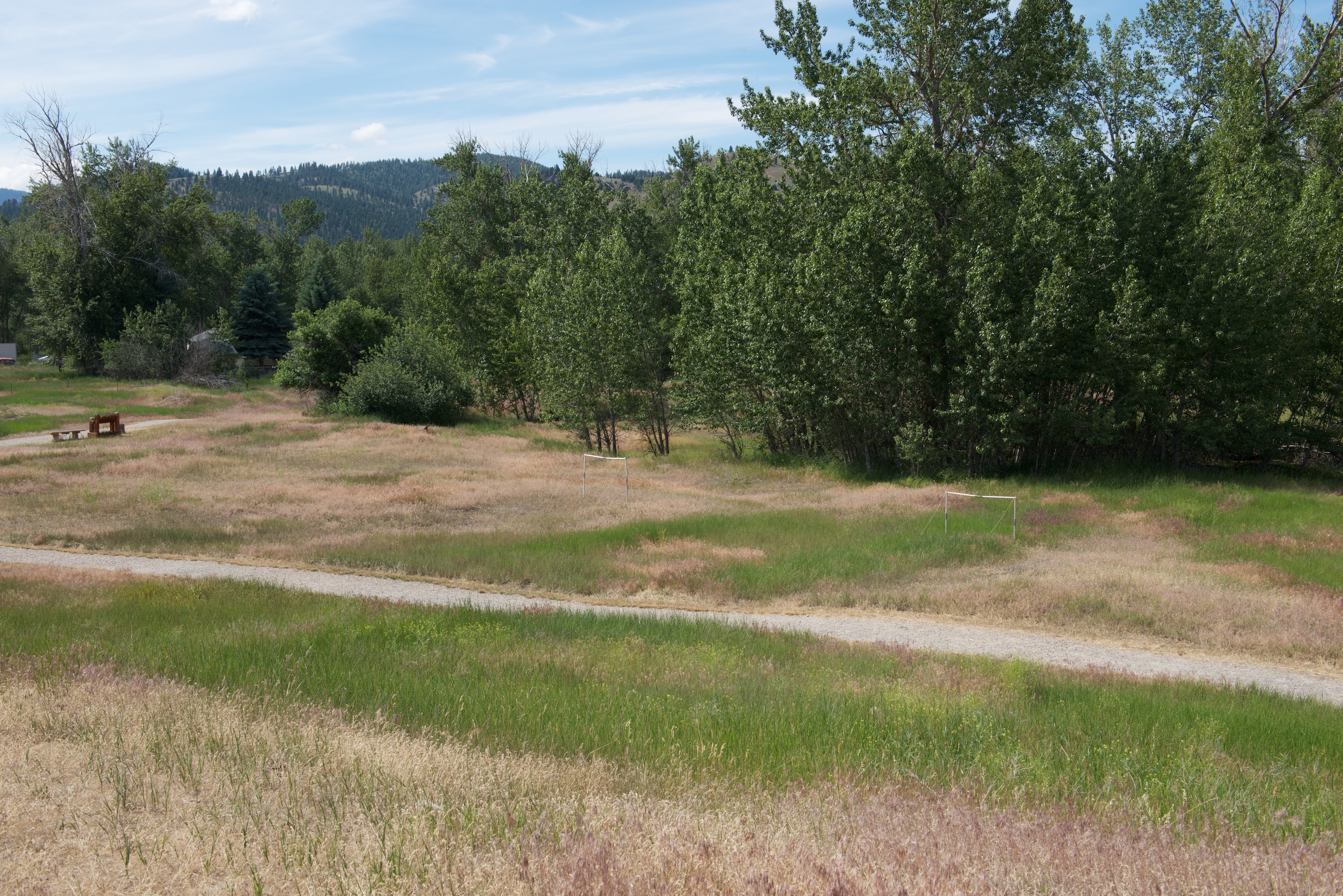
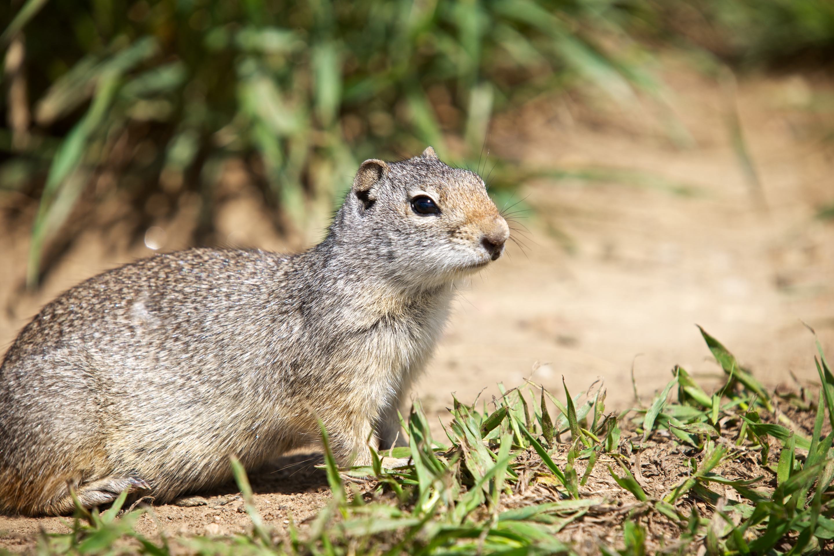
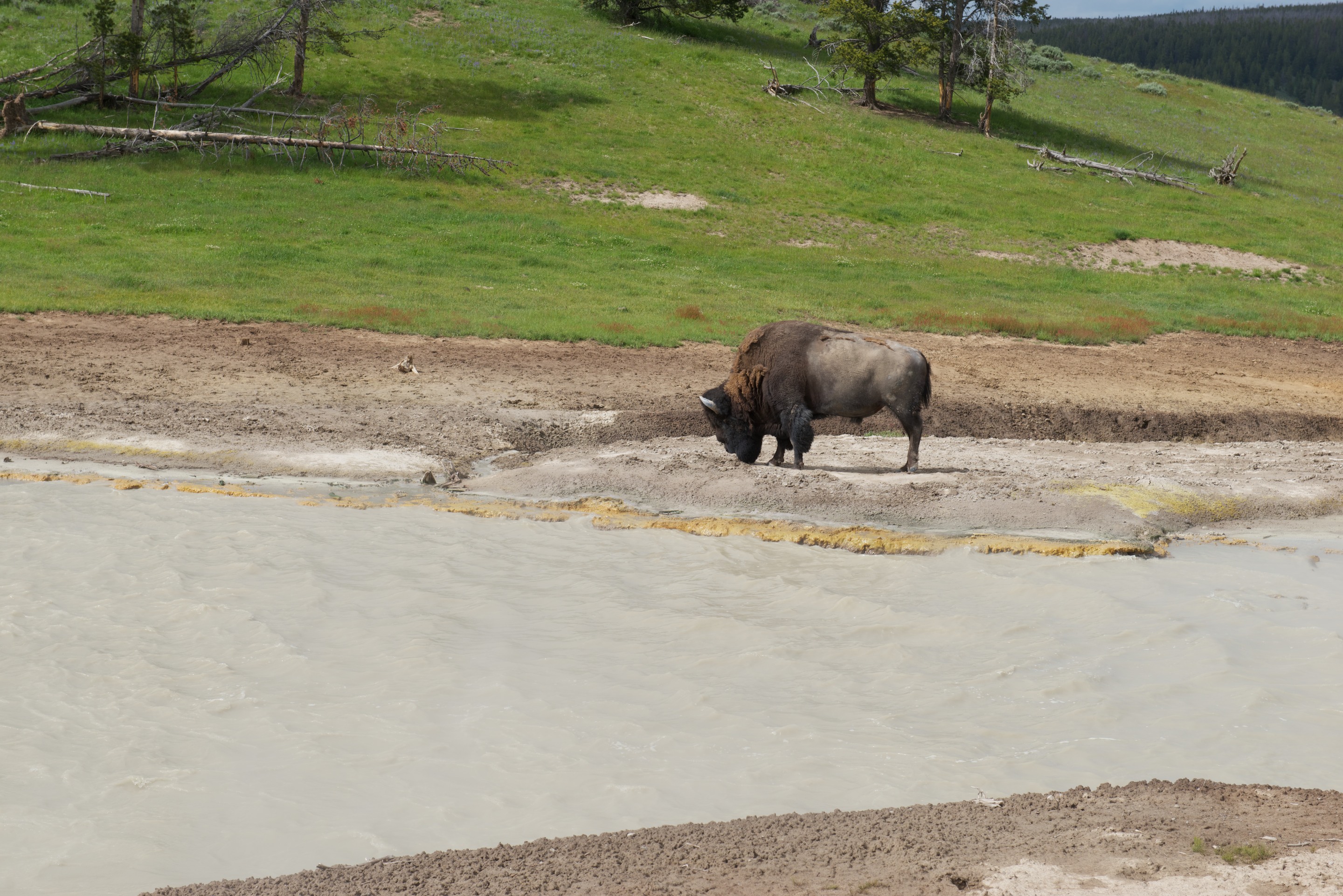
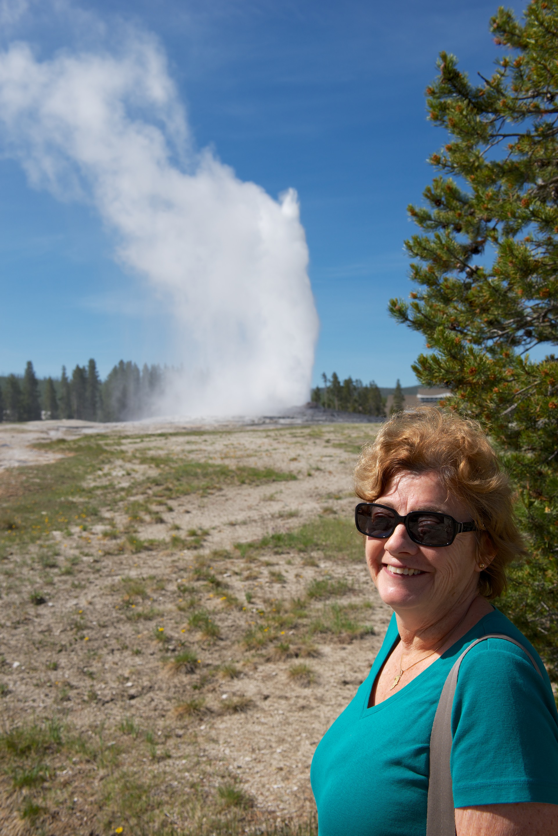
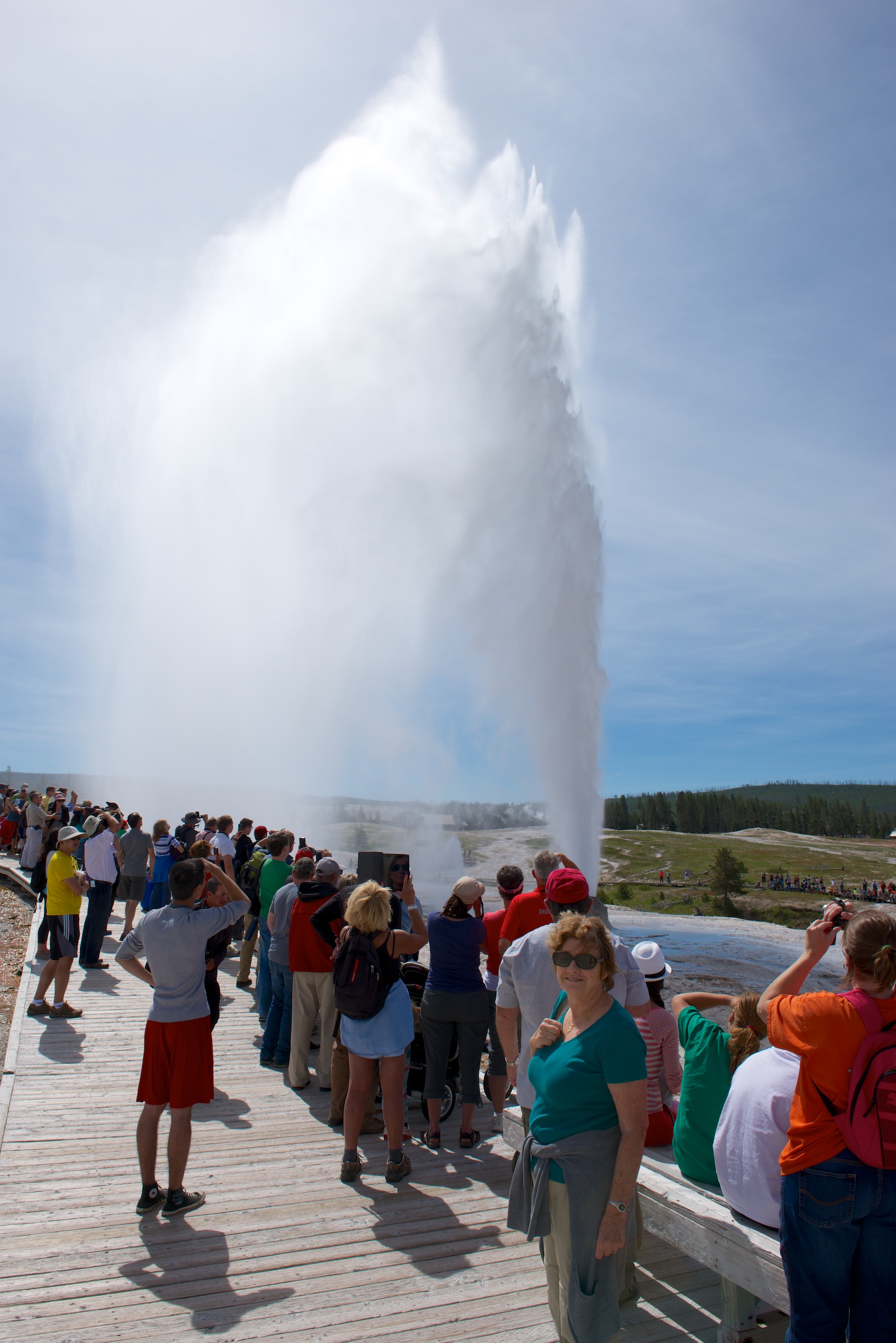
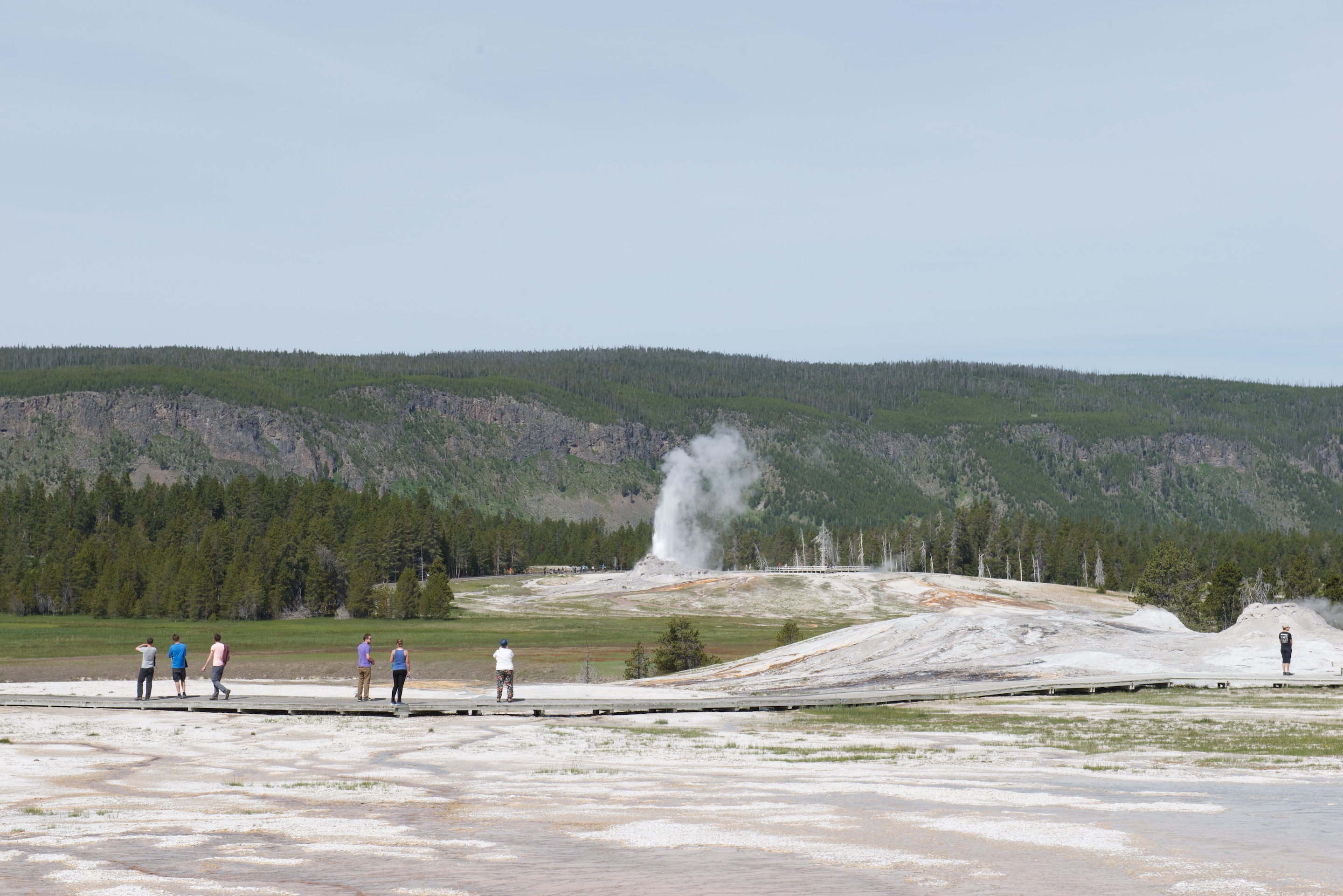
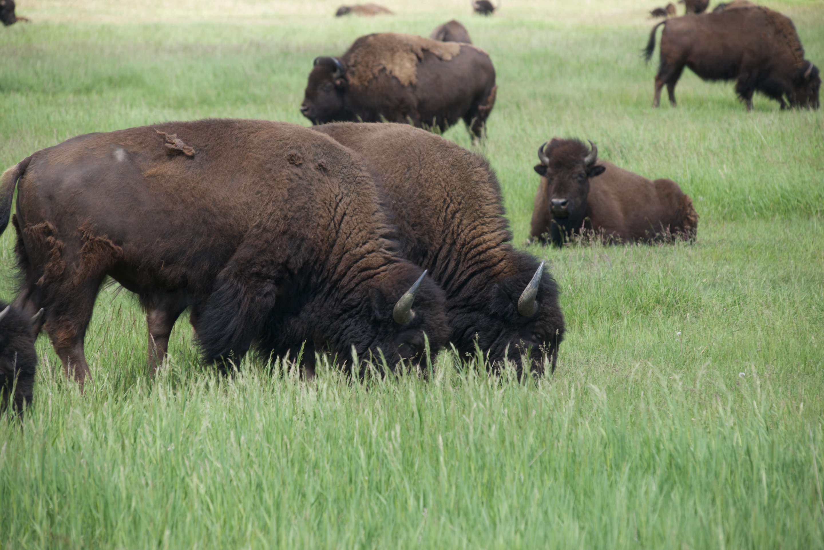
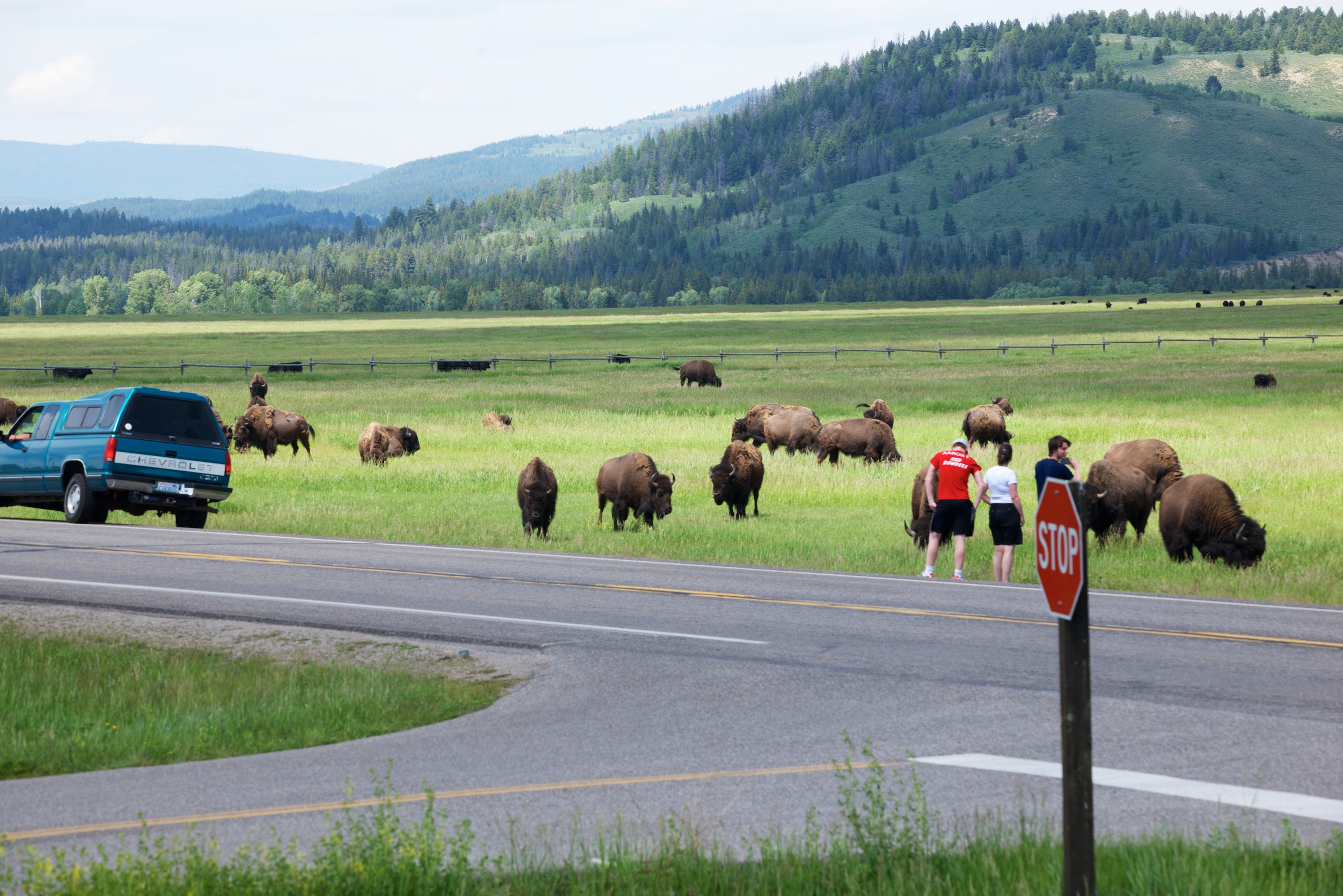
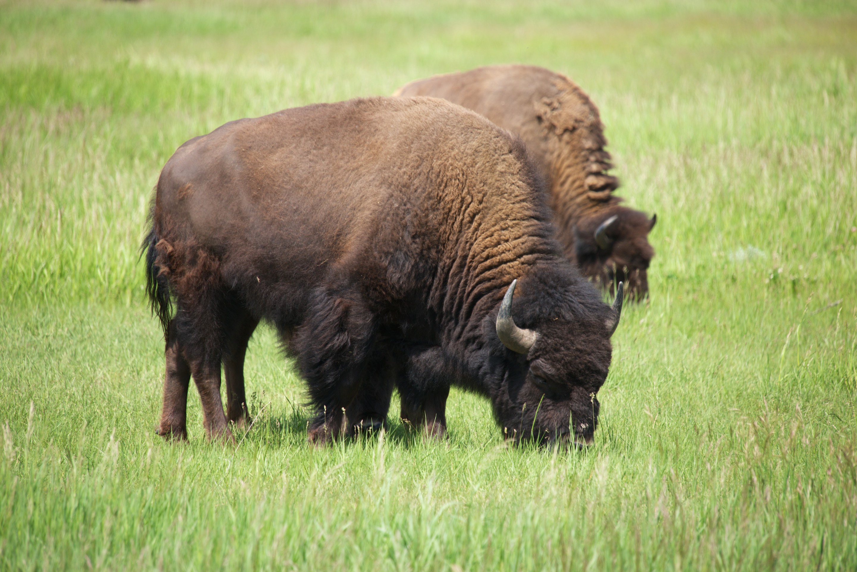
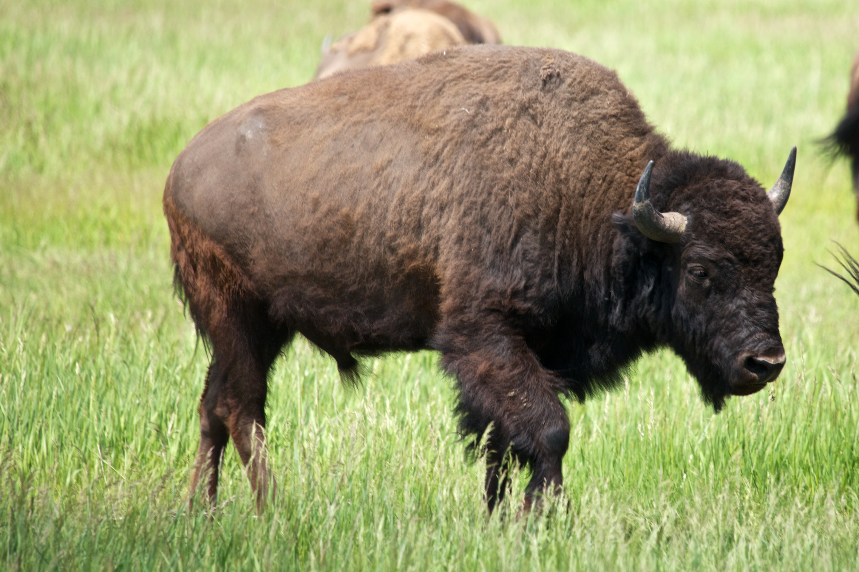
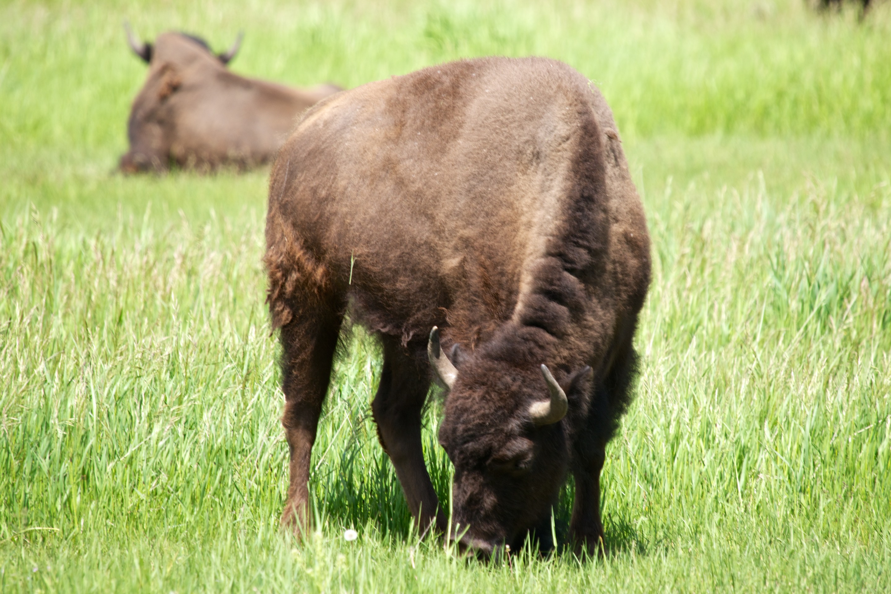
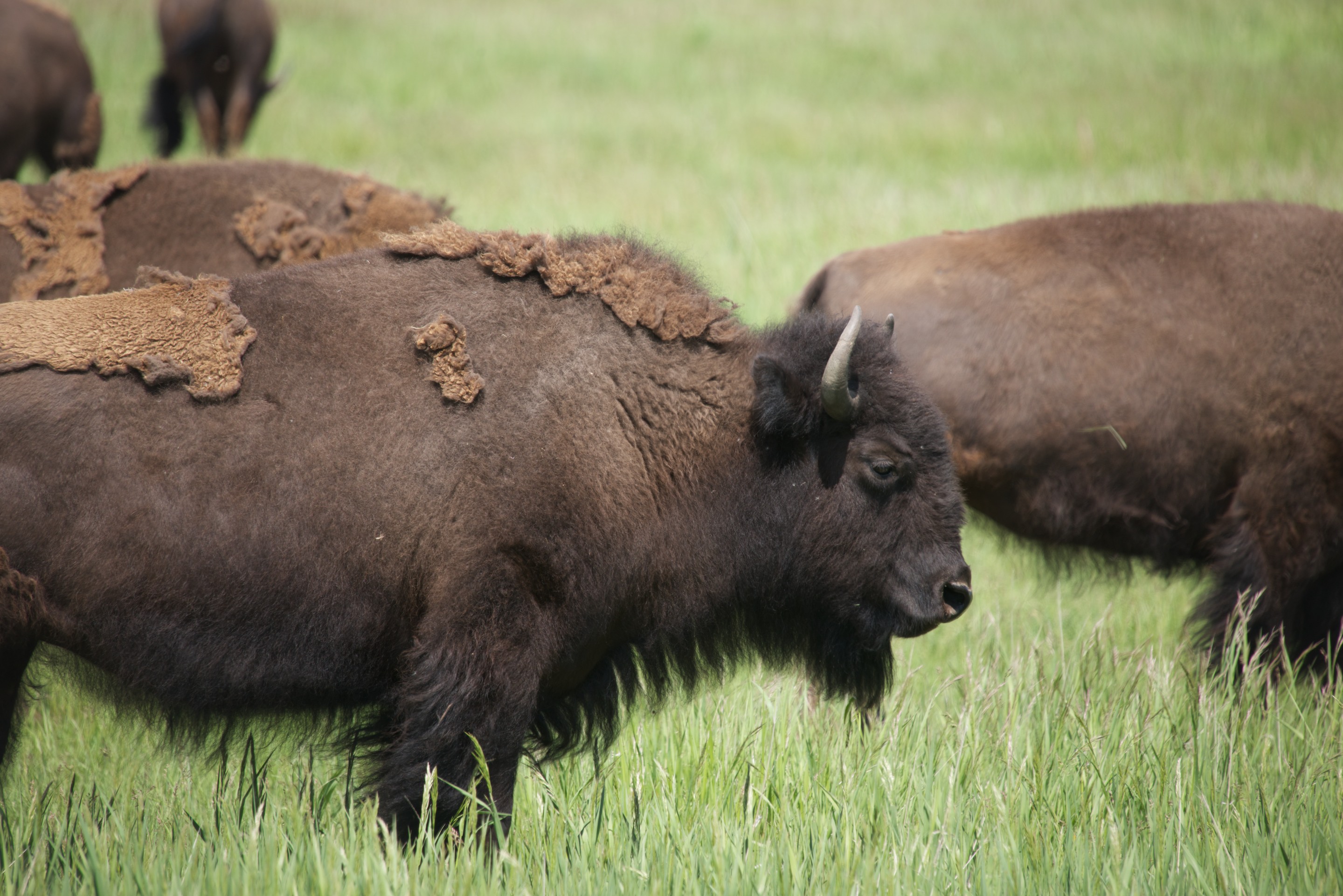
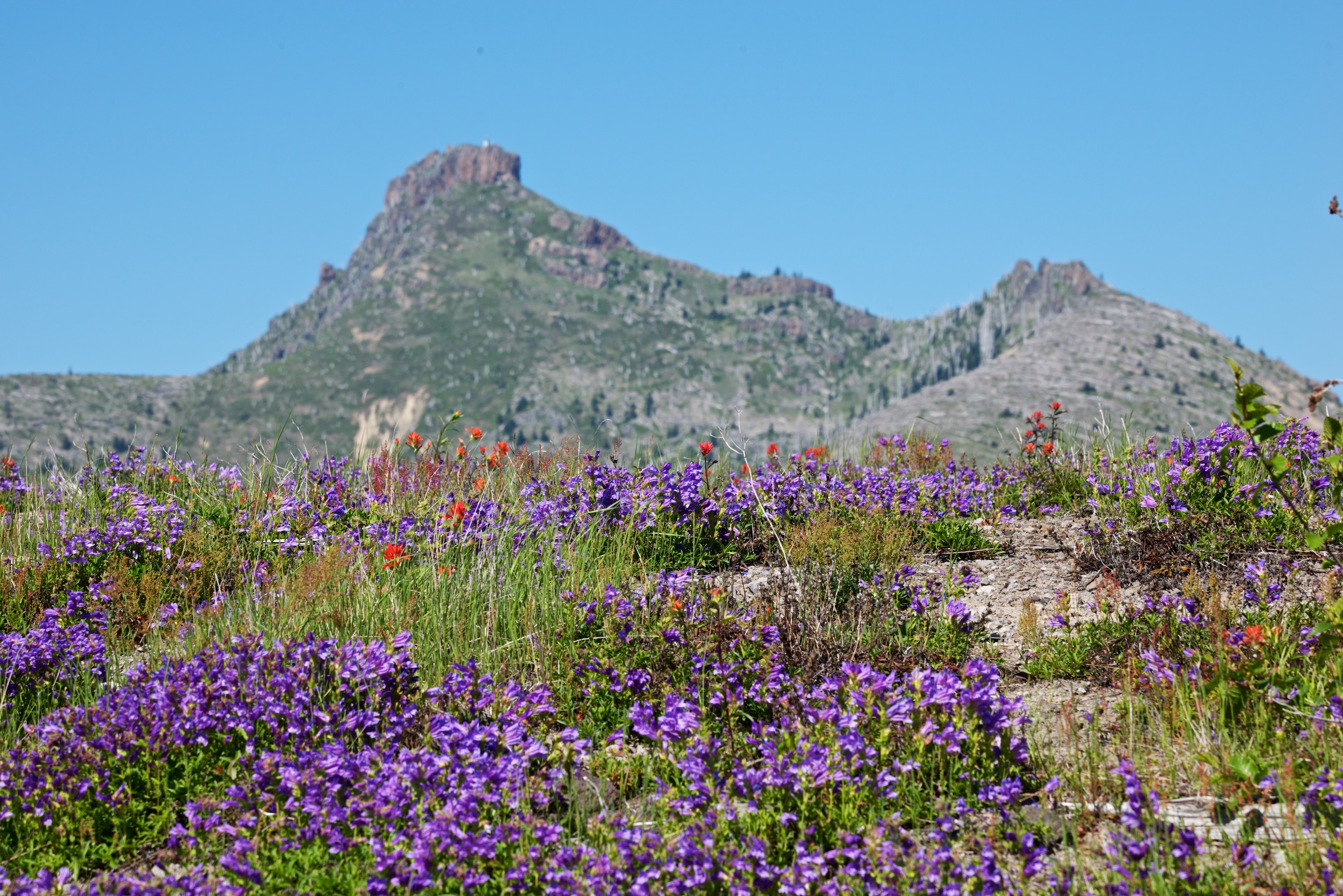
The hosts were charming, the pronghorn deer wandered by and the ground squirrels were cute!_ND84606 Our next stop was to be the Tiger Owners Rally, near Leadville so we had a long day’s drive ahead of us.

Volcanic Violence

We then started a series of visits to sites of great violence, volcanic violence, that is, beginning with Crater Lake.  We were still early in the season and part of the East Rim was closed as it was still under snow and we were too early for any boat rides on the lake or tours of the rim road, as June 26 is the start up date for those.  But after educating ourselves at the Visitor Center, we began visiting the various viewpoints, walking along the rim.  It is a most beautiful and awe inspiring sight and the color of the lake is a deep blue. We were interested to see a considerable amount of algae bloom in one section of the lake, presumably due to the light snowfall of the winter.  A mere 16 feet instead of the more usual 45 feet!

_ND84352As most know, Crater Lake is a caldera left after the explosion of Mount Mazama, just over 7,000 years ago. Interestingly enough, the traditions of the native Americans who live in the area are very accurate in describing the eruption. Native American artifacts, found under the Mazama ash, confirm that they were living in the area prior to the eruption. The Mazama eruption is unusual in that subsequent eruptions sealed the bottom of the crater and thus trapped the rain and snow melt water. There are no rivers that flow either in or out of the lake and thus the water is of extreme purity. There are, of course, many such caldera in the United States, Mount Saint Helens being one of the most recent and Yellowstone being the largest. Fred first discovered a volcanic caldera at Gunung Bromo in east Java and has been fascinated by them ever since. (https://en.wikipedia.org/wiki/Mount_Bromo) A visit to Crater Lake was a lifetime dream. We drove the West Rim road and then left, heading north to Bend, Oregon, where we had a great pizza for dinner!

_ND84354

Ants chewing their way through a stump. (Click twice to expand.)_ND84360

Wizard Island is a cinder cone that grew up through the lake._ND84366_ND84357

While near Bend we visited the High Desert Museum, a fascinating spot with historical displays and some native animals (most of whom had been wounded or were unable to be released for some reason).  (http://www.highdesertmuseum.org) The exhibit on the Oregon Trail was fascinating with a wide selection of photos and clothing as well as artifacts.  The Indian exhibit was interesting but we most enjoyed the river otters.  We had not seen river otters since we lived in Coral Springs and it was such fun to see them swimming and racing around.  Fred also liked the raccoon and the bobcat.

Heading back across the Cascade Mountains we drove through beautiful slopes of pine trees.  The scenery in this part of the United States is amazing; it keeps getting better and better.  But the temperature kept rising and it was getting hotter and hotter.  Passing a Ranger Station, it read 98F!  We decided that a night of air conditioning was in order, so we stopped at an RV Park on the Mackenzie River.  It was not an evening for a primitive site; Denise demanded her air conditioning!   It proved to be a delightful spot and we were given a site right on the river, which was quite loud at that point due to rapids, and under shade trees.  We spent a delightful evening watching rafters shoot by and then slept well in our cool Tiger.

Tiger Adventure Vehicles source their solar equipment from a company named AM Solar, in Springfield, Oregon. We took advantage of the opportunity to stop in and see their facility and to look at their new line of Lithium batteries. We nearly missed the shop as their sign is tiny, but the grounds are a glorious garden overlooking a stream. Fred had a great conversation with one the the technicians and admired the mockup of their new batteries. There are many tempting advantages to Lithium batteries, but the existing batteries on Ndeke Luka work so well and have the advantage of being fully paid for. Also, the demand for AM Solar’s new Lithium batteries is so great that they are backlogged several months on installations. There may be other companies in the business that can be trusted to sell you good solar equipment and more importantly, instal it correctly, but AM Solar is the one we always recommend. (http://amsolar.com)

We camped at the Kramer winery, another Harvest Host member, not too far from Portland, Oregon. (http://www.kramervineyards.com) We had a wonderful evening chatting with staff and a couple of intrepid bicyclists who had found their way up the hill, and getting to know Cosmo, the black lab cross, who lives there.  Ignoring Cosmo, Norlina Bleu enjoyed a wild, off leash ramble and went to bed a happy cat. Another beautiful spot to enjoy and of course, we purchased some more, OK, a lot more, wine!

_ND84374

Following our violence theme, we headed next to Mt. St. Helens;  after learning about the actual event and reading some of the poignant stories, we headed up the mountain itself through the blast area to the Johnson Observatory where we took photo after photo and climbed a short trail to get the best views.

First view of the mountain in the distance._ND84385

As you get closer, the mountain gets bigger and appears to be surrounded by forests._ND84394


Get closer still, and you notice the vast areas that are still denuded of trees, thirty years later. The new crater is also clearer._ND84396


There were riots of wild flowers everywhere._ND84401 _ND84407

And lots of destroyed trees._ND84409 _ND84412

A telephoto lens provides a view into the crater, where the central lava dome is now over 1,000 feet tall; awaiting the next blast._ND84411

The mountain and the blast area are both amazing, both made a great impression on us. The Johnson Observatory is named for David A. Johnson, who was on the ridge reporting by radio when the volcano erupted. He was never found. (https://en.wikipedia.org/wiki/David_A._Johnston) Fred, who has enjoyed visiting volcanoes for many years, found the visit especially moving and fascinating.

And on to Mount Ranier, Denise’s choice.  (Fred was struck by the fact that, at the Mount Saint Helen’s Visitor Center they noted that Mount Ranier is projected to be the next Cascades volcano to erupt.) We are still enjoying cool, cloudless days with bright sunshine and deep blue skies and we could see the volcano from afar.  We stopped in Morton on the way, for some needed items (fuses, a new sewer hose and a multimeter, the latter being Fred’s birthday gift to himself) and enjoyed a coffee and goodie at a great coffee shop.   The owner of the NAPA auto parts store had to come and inspect the Tiger of course! A quick note on customer service. We had stopped at a Camping World store (where we get a discount) to buy a new sewer hose, but left without buying a thing as we could not get anyone other than the receptionist to spare us the time to explain the different hoses and mounts. The NAPA store may have be a bit more expensive but they got the sale as the owner was so helpful and welcoming. (http://www.whitepages.com/business/eds-morton-auto-parts-napa-morton-wa)

There was some delay on the road due to roadworks, but we made it up to the Visitor Center and found a place to park, not always easy!_ND84419

We decided to treat ourselves to lunch in the Lodge, a most attractive log building. Sadly though, we found the food good but not wonderful.  We then walked the trail to the view points for the glacier.  Denise enjoyed the wildflowers, especially the alpine lilies that carpeted the meadows like snow.  In fact, the flowers have been beautiful on this trip, from the mountain meadows to the gardens in California and Oregon, and even fields of blue along the highways in Montana and Wyoming.

_ND84421

The views over the glacier were well worth the walk and Fred managed to photograph skiers taking advantage of the snow, way up on the glaciers. (Click twice to expand; those tiny dots in the first picture are skiers. Really.)_ND84430_ND84428

We stopped at the Narada waterfall on the way out and climbed the path down to the base.  It was quite spectacular with snow melt.  _ND84435

_ND84432

A last view of the mountain as we left the park._ND84437

We then took the Steven Canyon Road through the park to the eastern side where we were able to camp in the National Park Service Campground, deep in the woods. Fred noted that the campground had a big warning panel entitled “Safety Precautions for Camping on a Volcano”. Who knew that camping could be so exciting?

As we continued down the road we came to an incredible set of palisades, an ancient lava flow._ND84438

The scenic turnout featured several “hosts.”_ND84440

Climbing away from Yakima we had one last view of Mount Ranier on the horizon, as we headed towards Coeur d’Alene, Idaho._ND84443
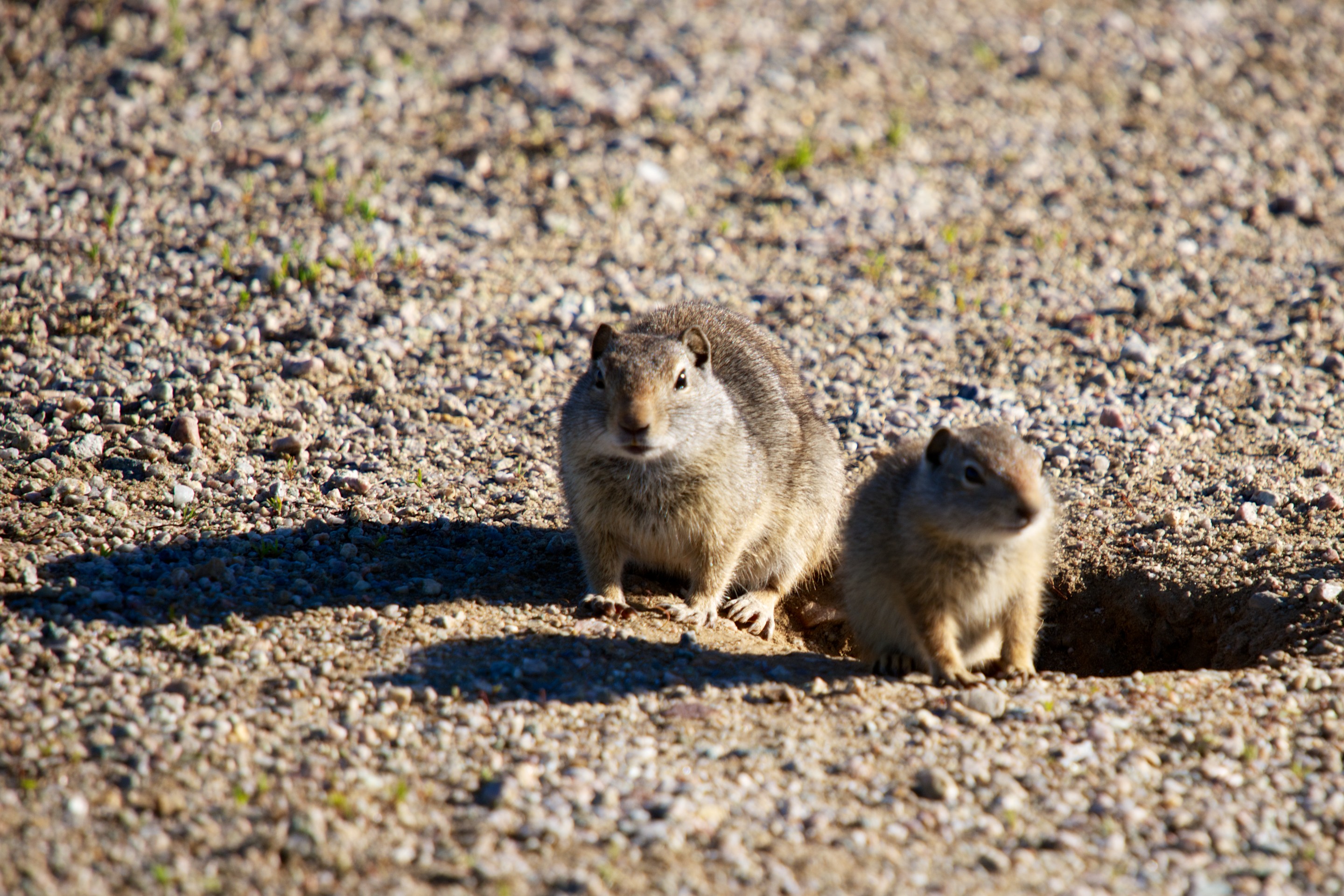
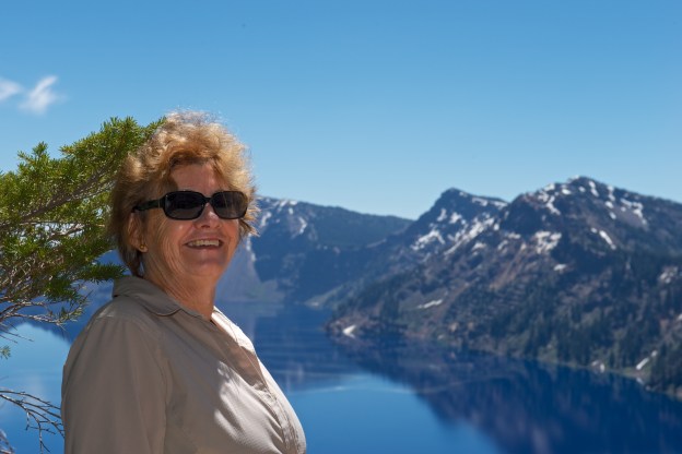
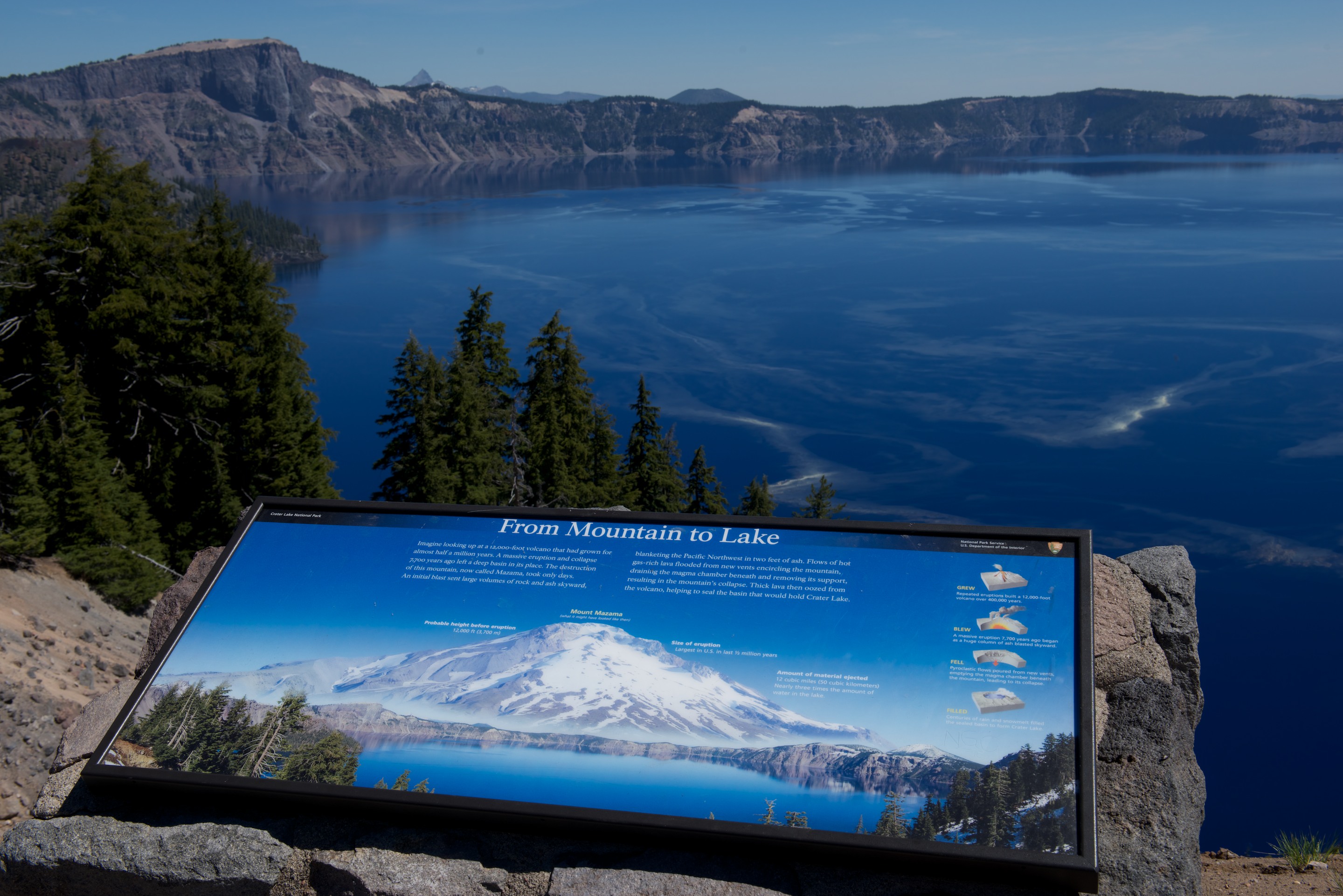
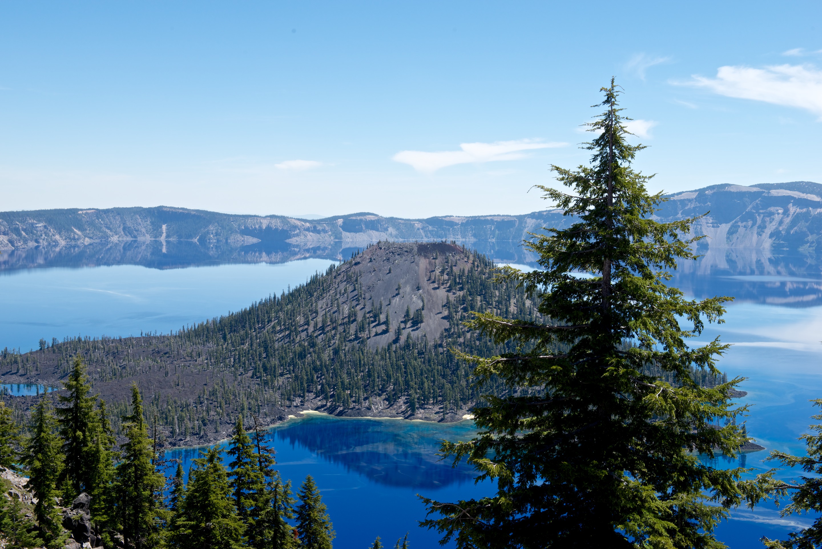
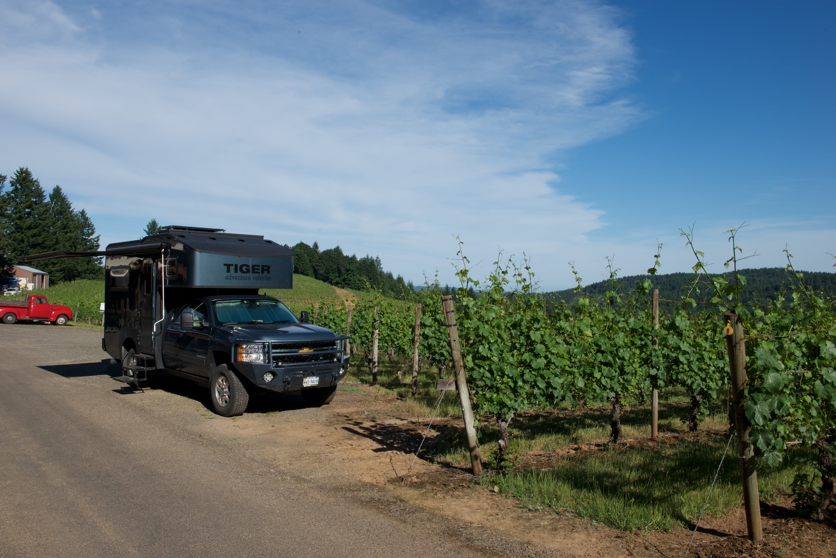
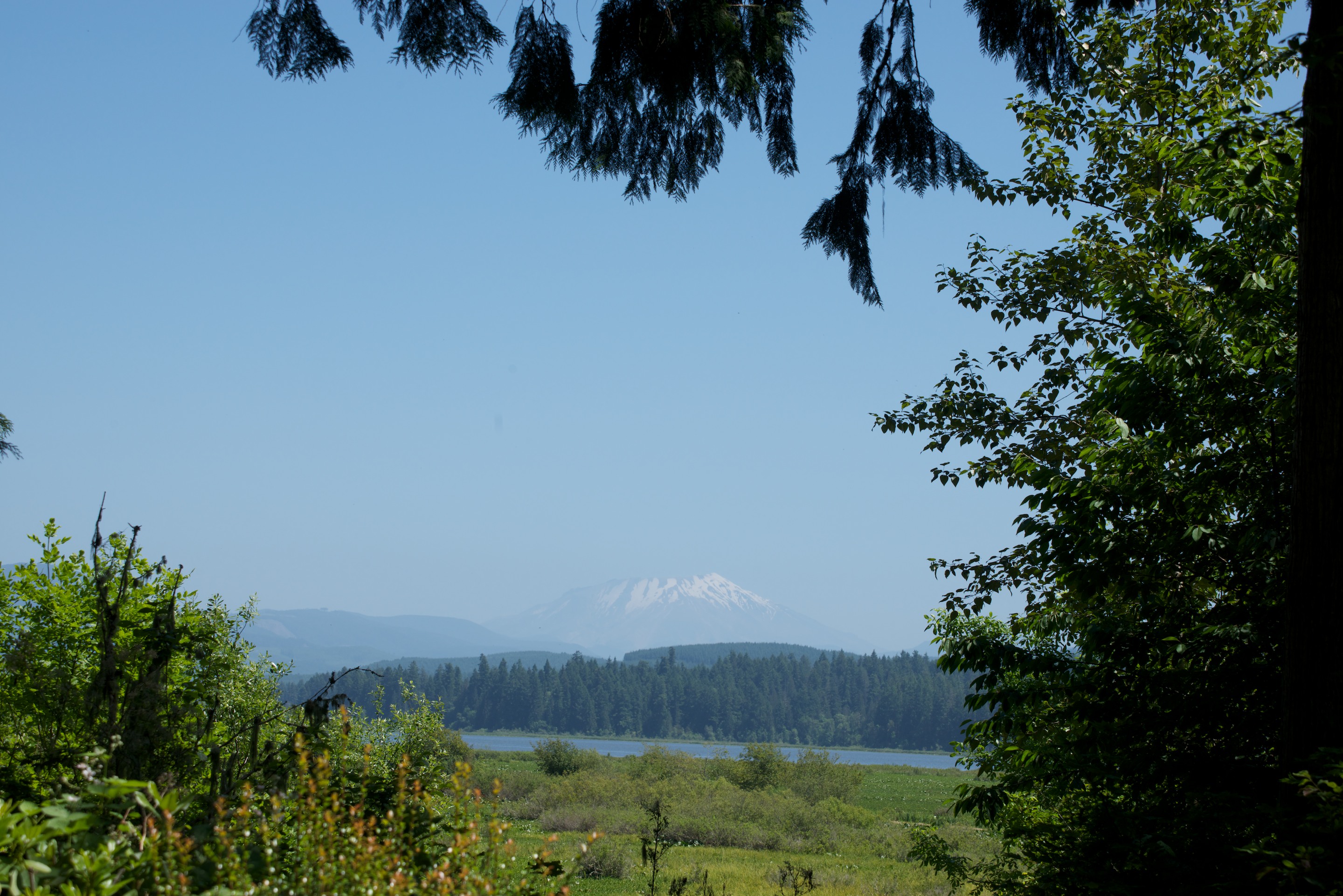
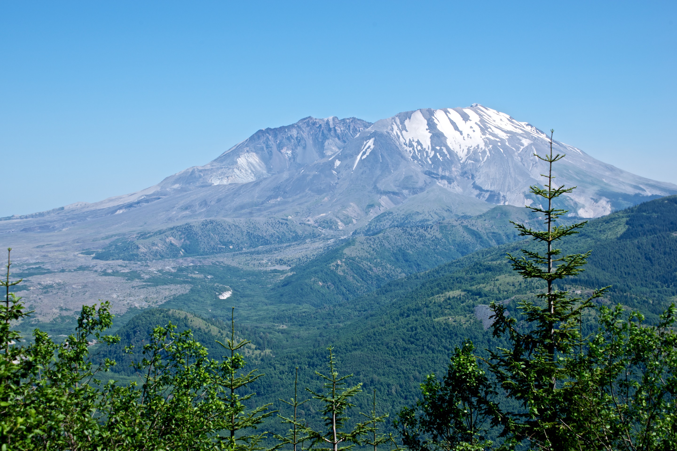
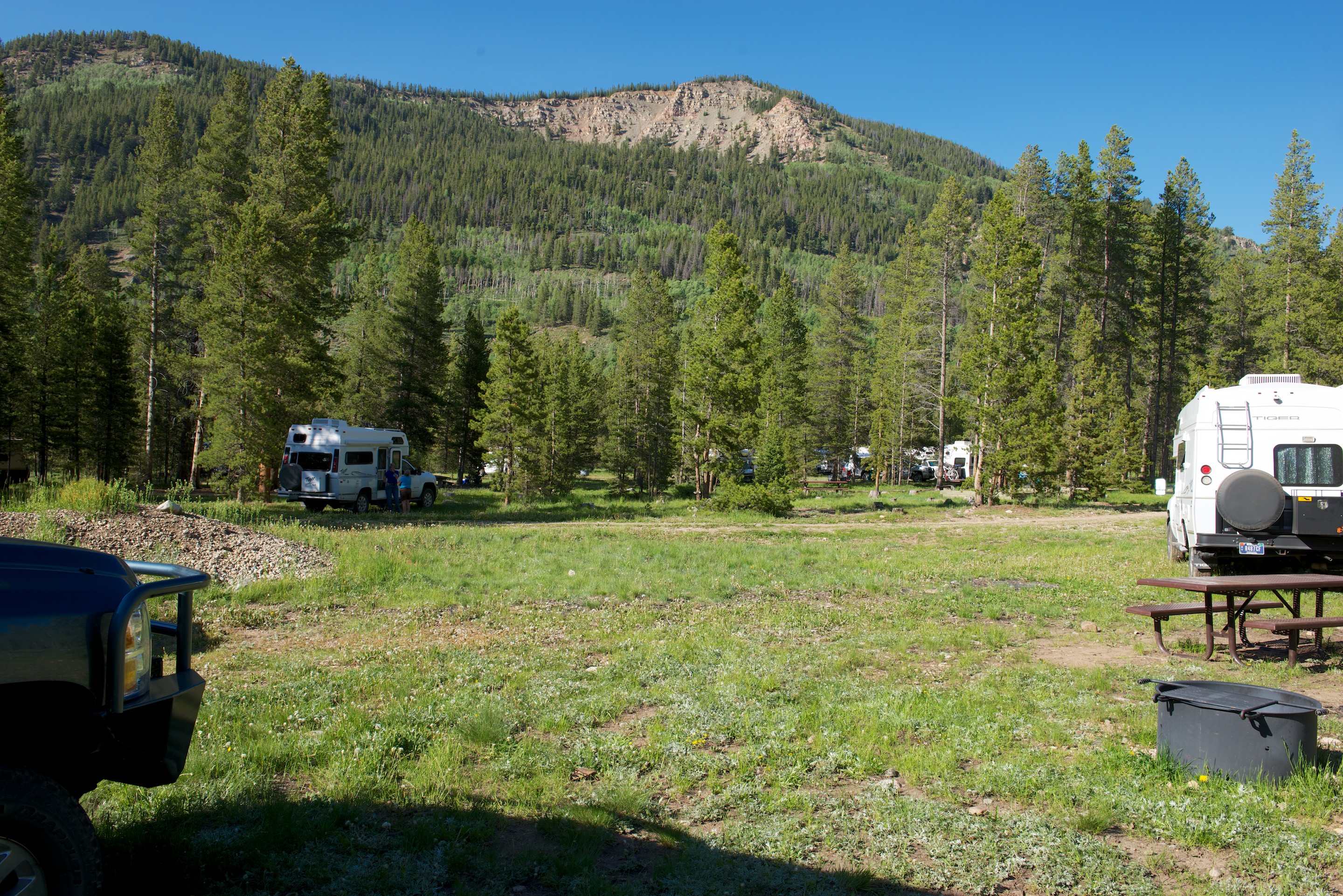
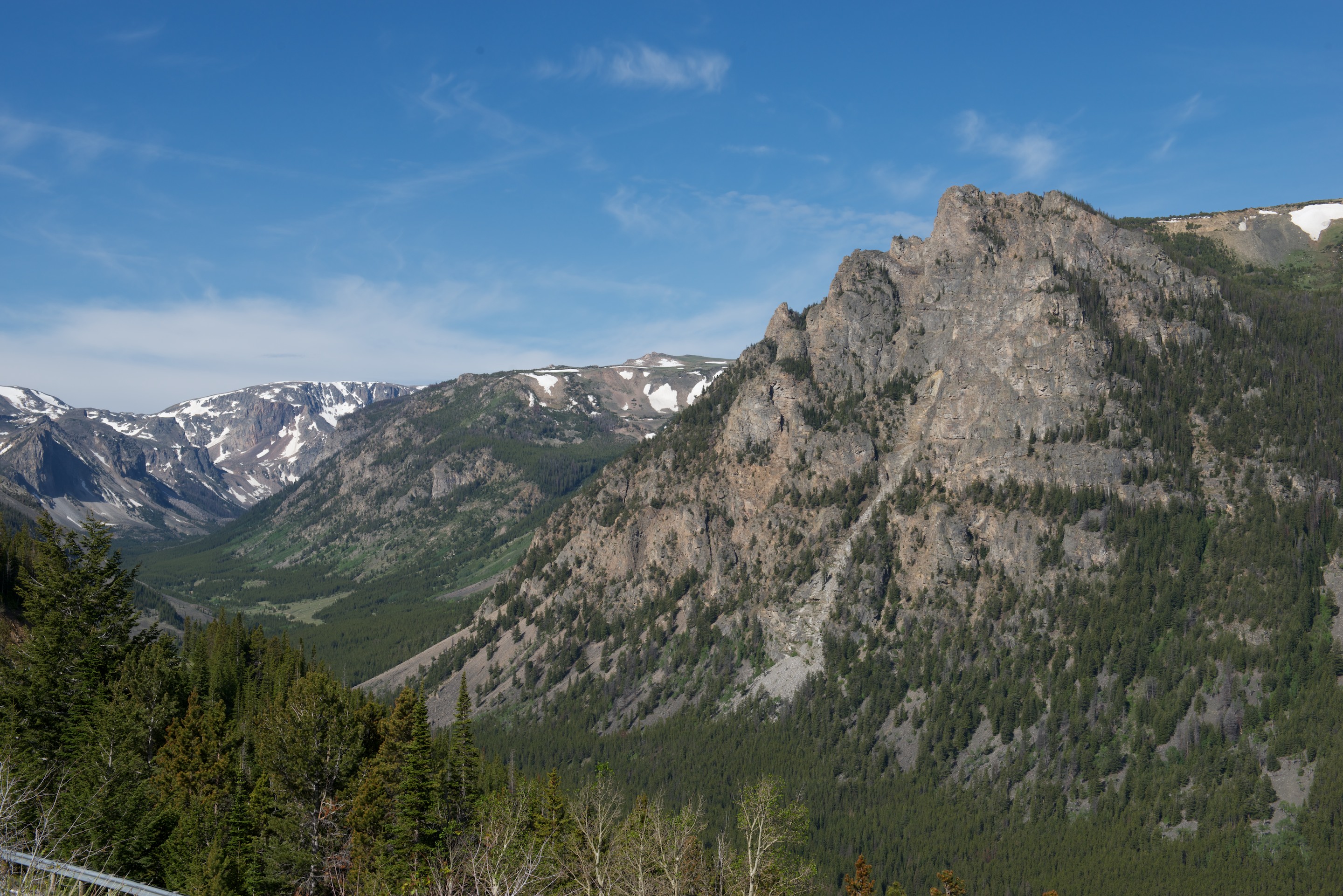
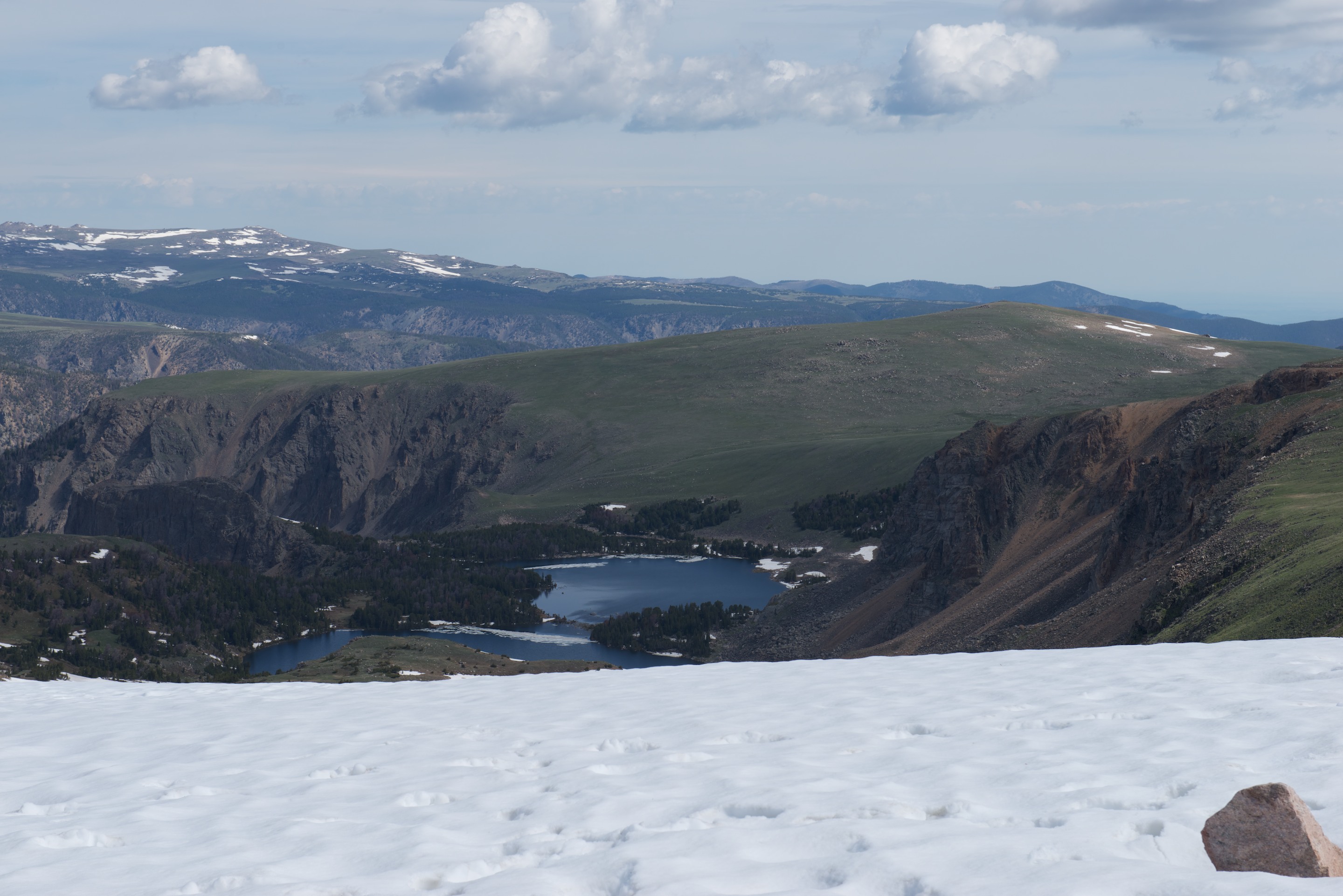
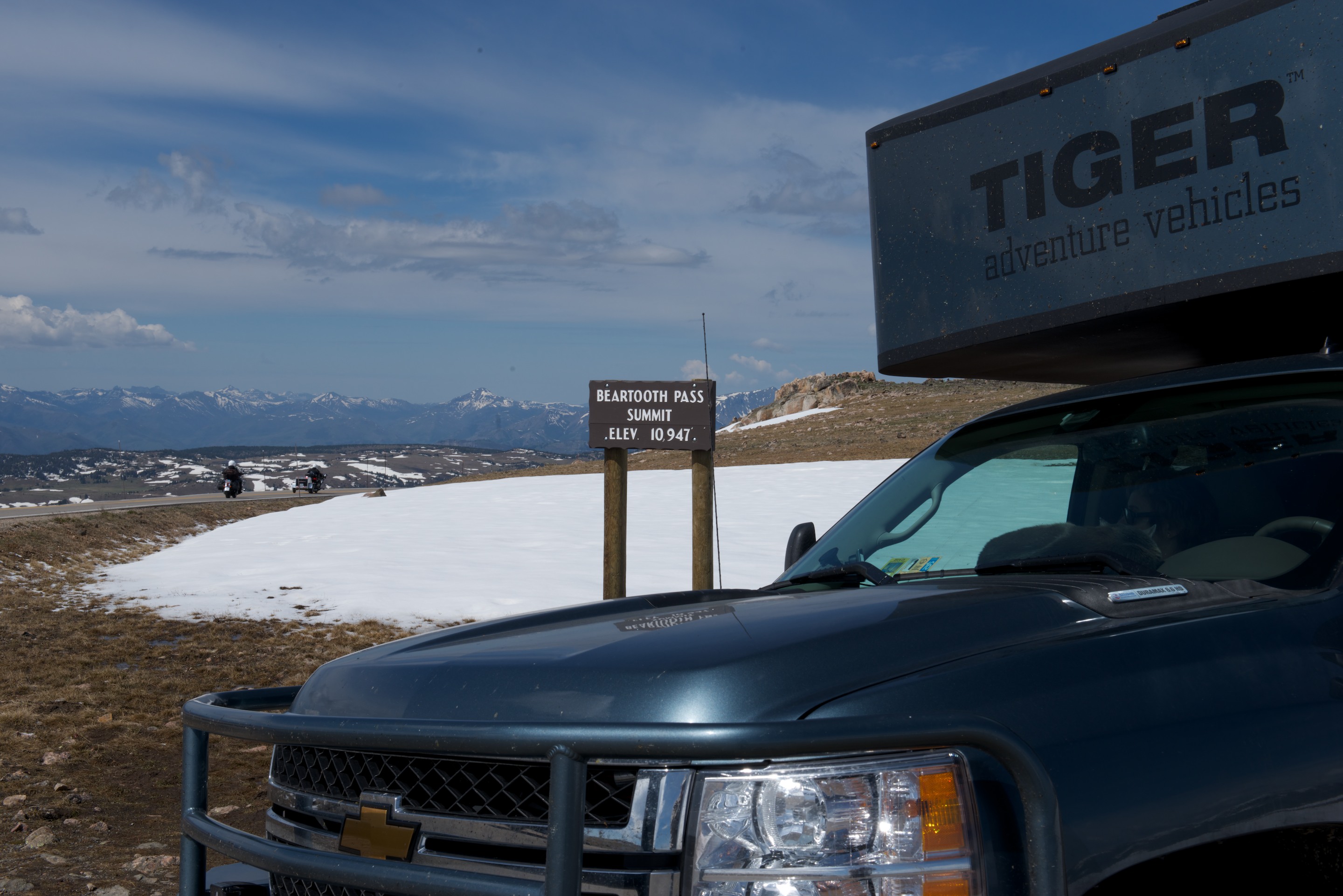
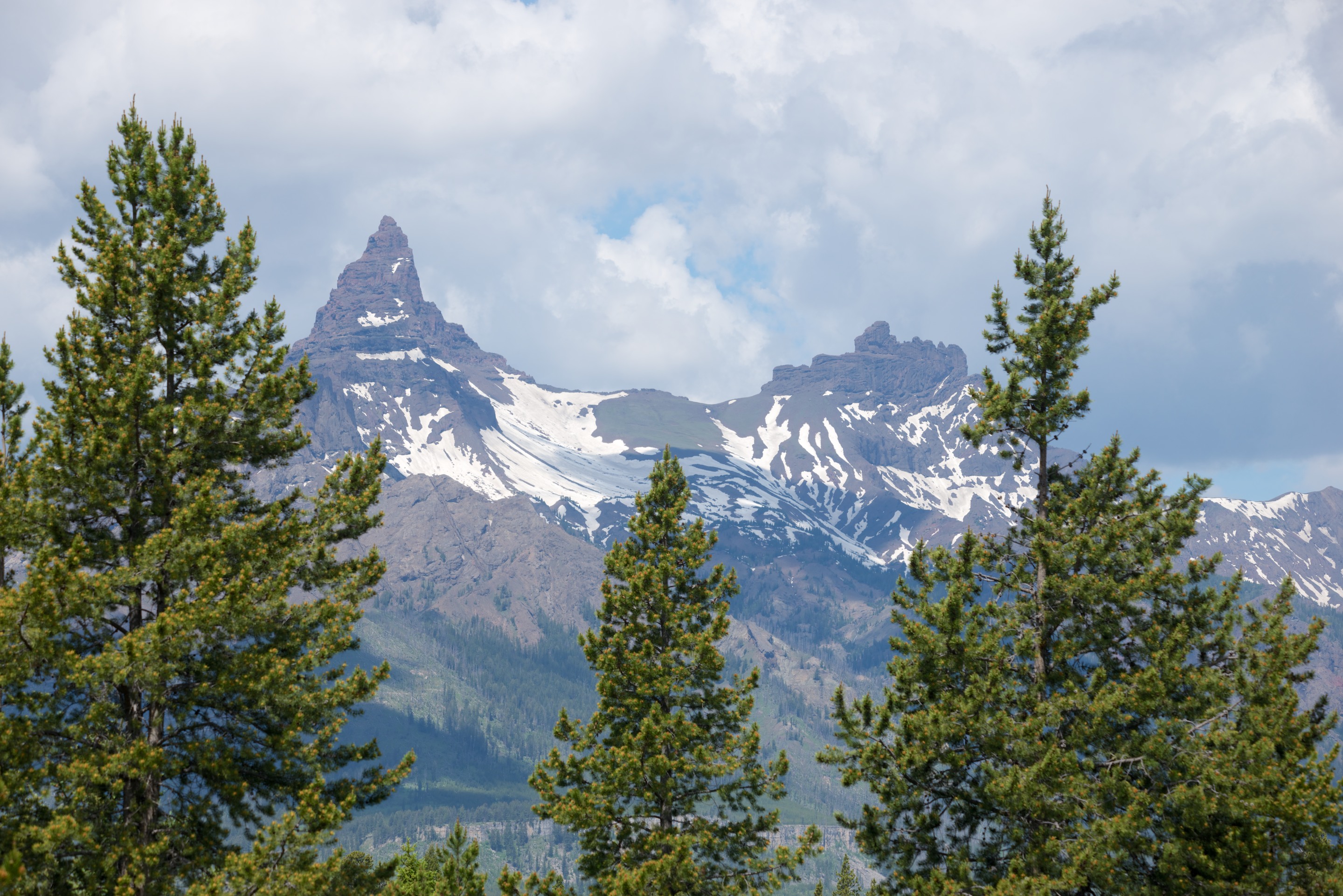
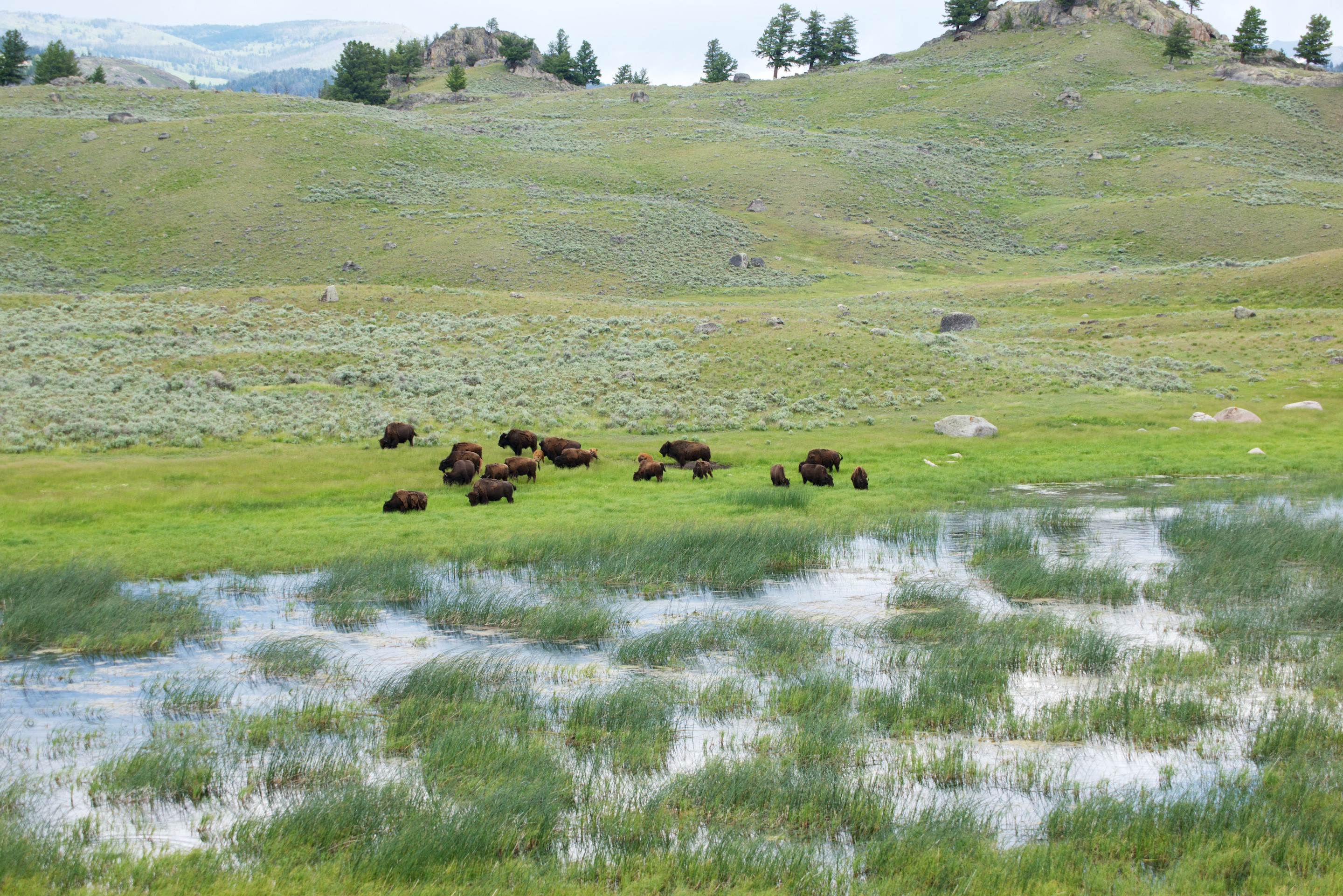
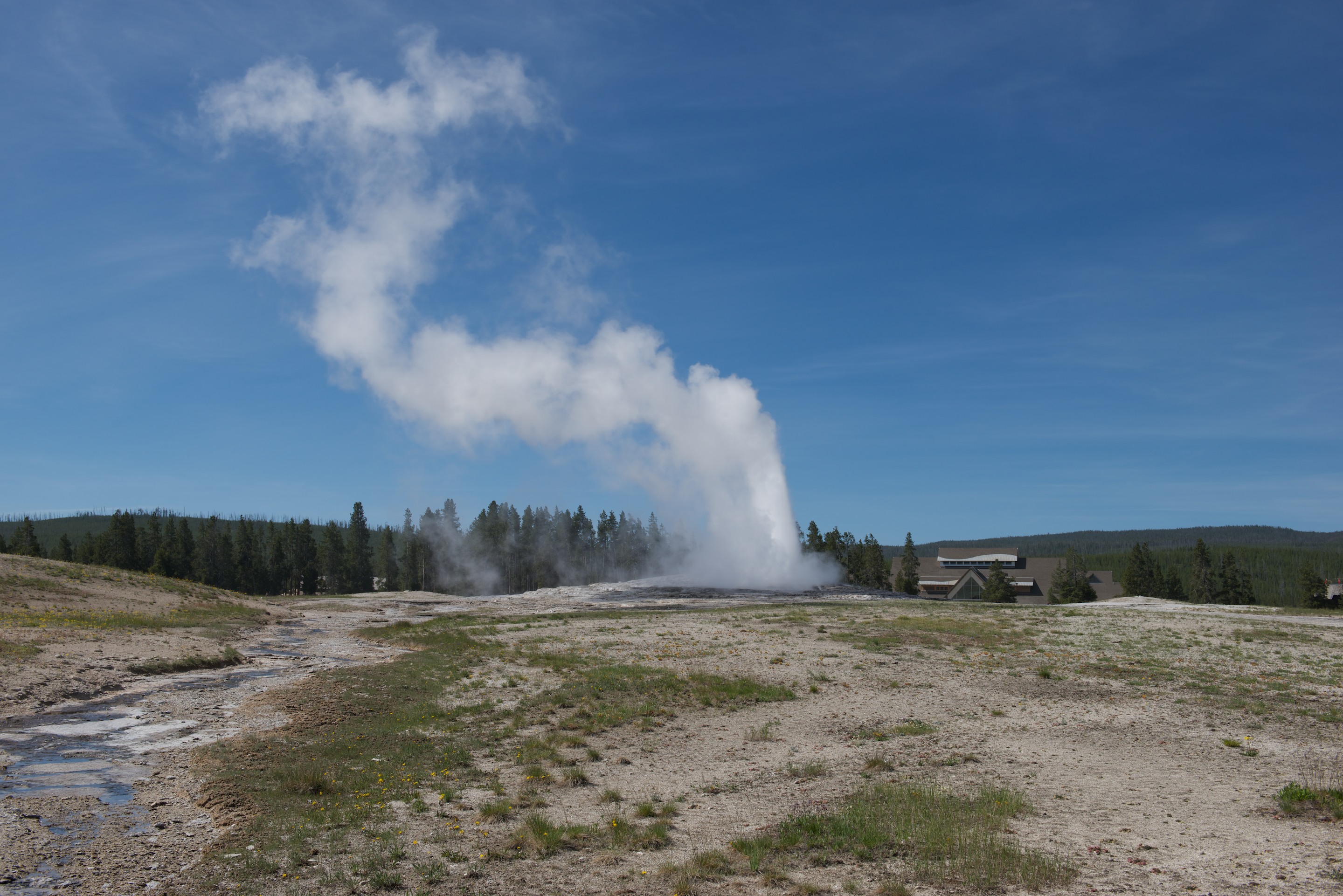
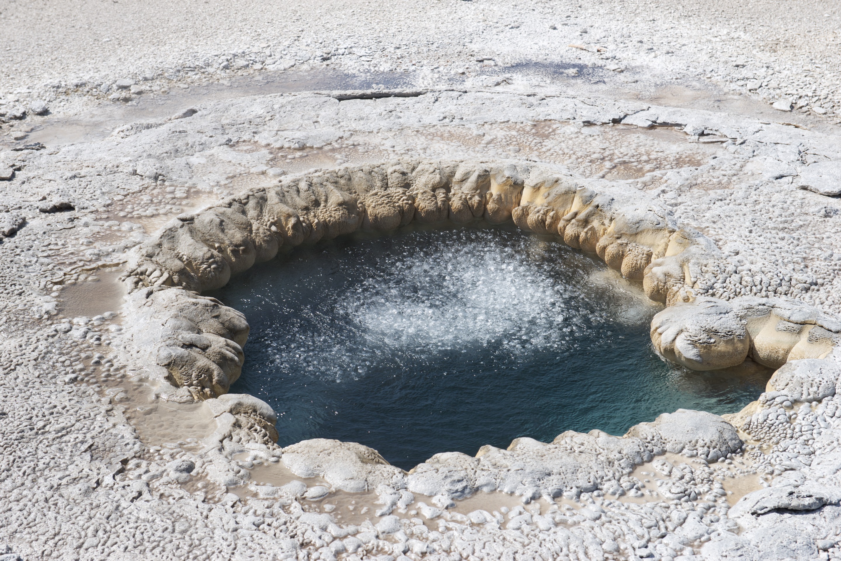
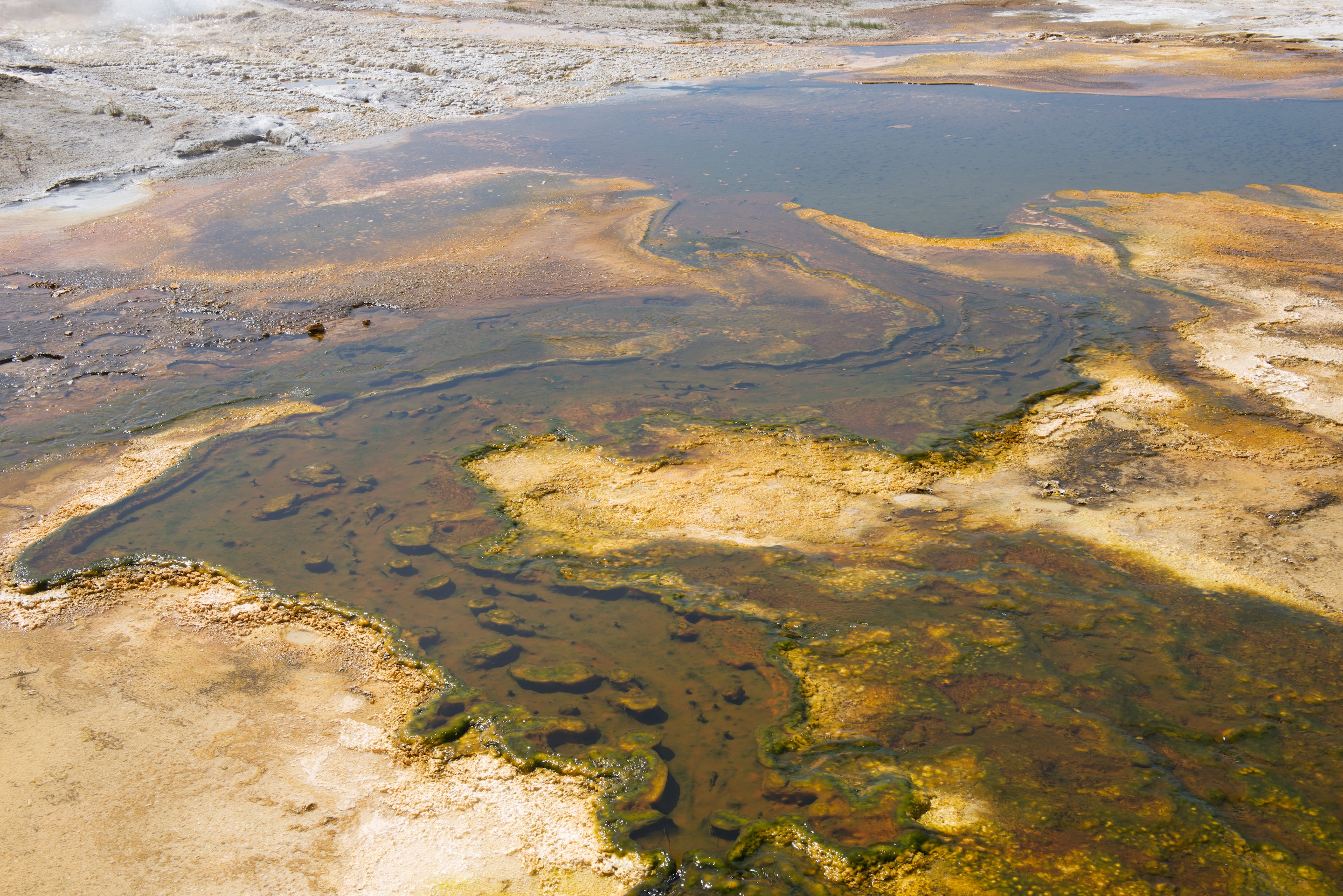
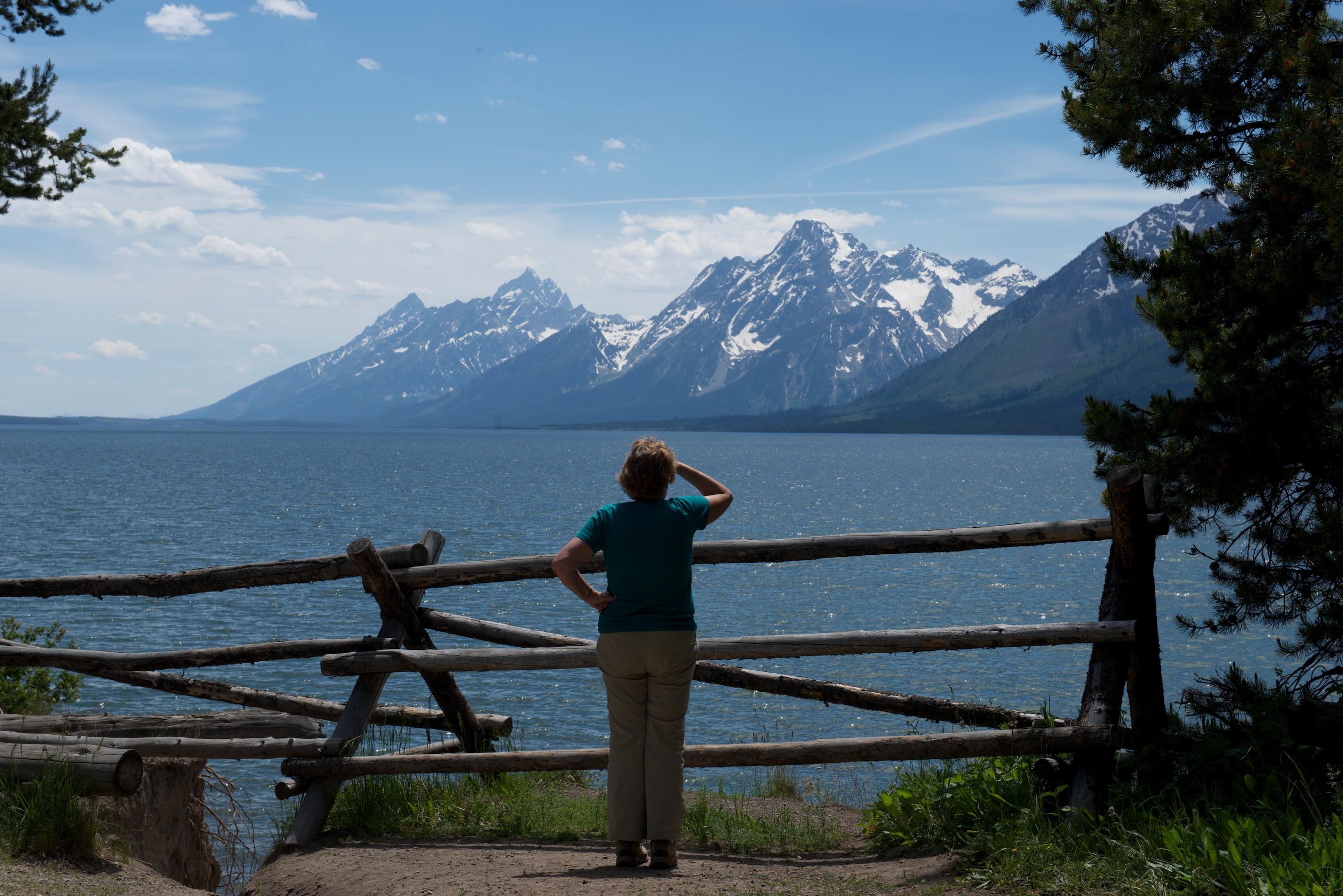
They certainly turn the scenery on here.  Arlington is going to look positively staid after all this!