And on to Reykjavik and the end of our cruise. We had planned a couple of extra days in Reykjavik to see Denise’s cousin, Barry, and his wife Thorunn. Our first Icelandic immigration formalities were quickly accomplished. We have, thus far, been spared any of the nightmares that many have reported with the new European Entry System.
First impressions are always interesting. The Vikings’ first impression was that of a “Smokey Bay”, thus they named it Reykjavik. The smoke turned out to be steam from hot springs, and those hot springs are still there today. Descending from a ship, and driving through town, everything struck us as super Scandinavian modern. Modern buildings, multi lane motorways, etc. Dramatic contrast to the small towns and hamlets that we had seen to date.
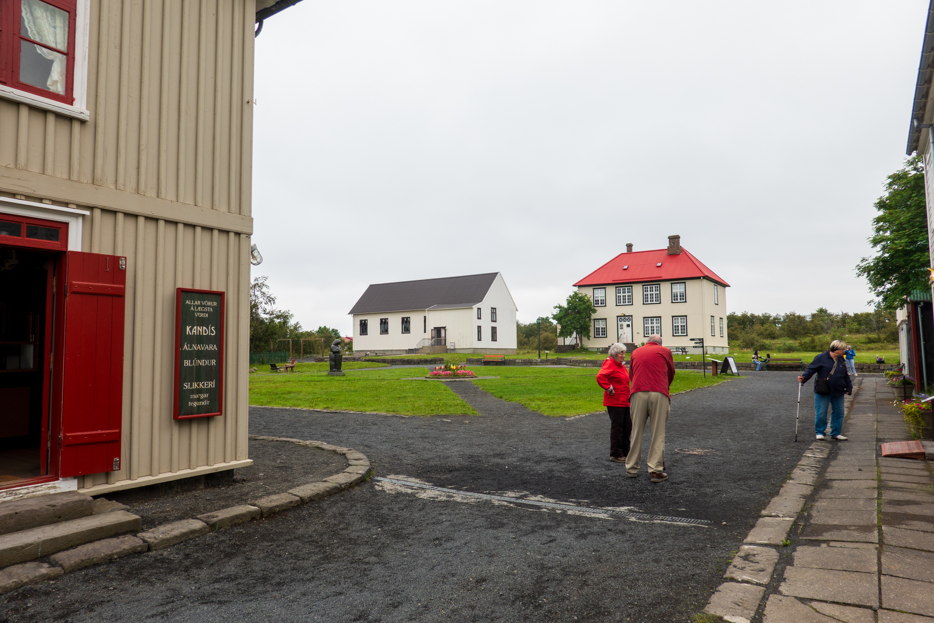
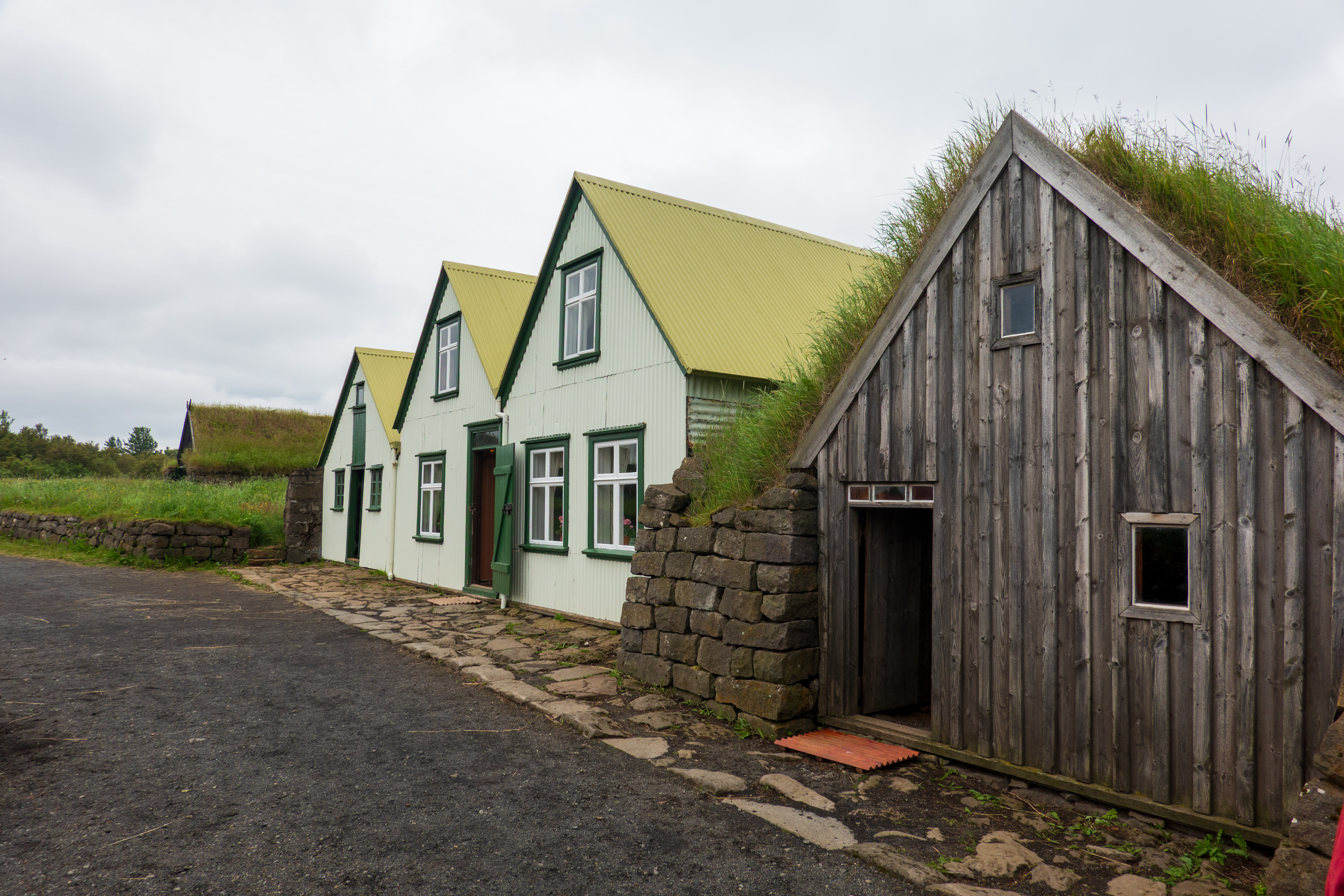
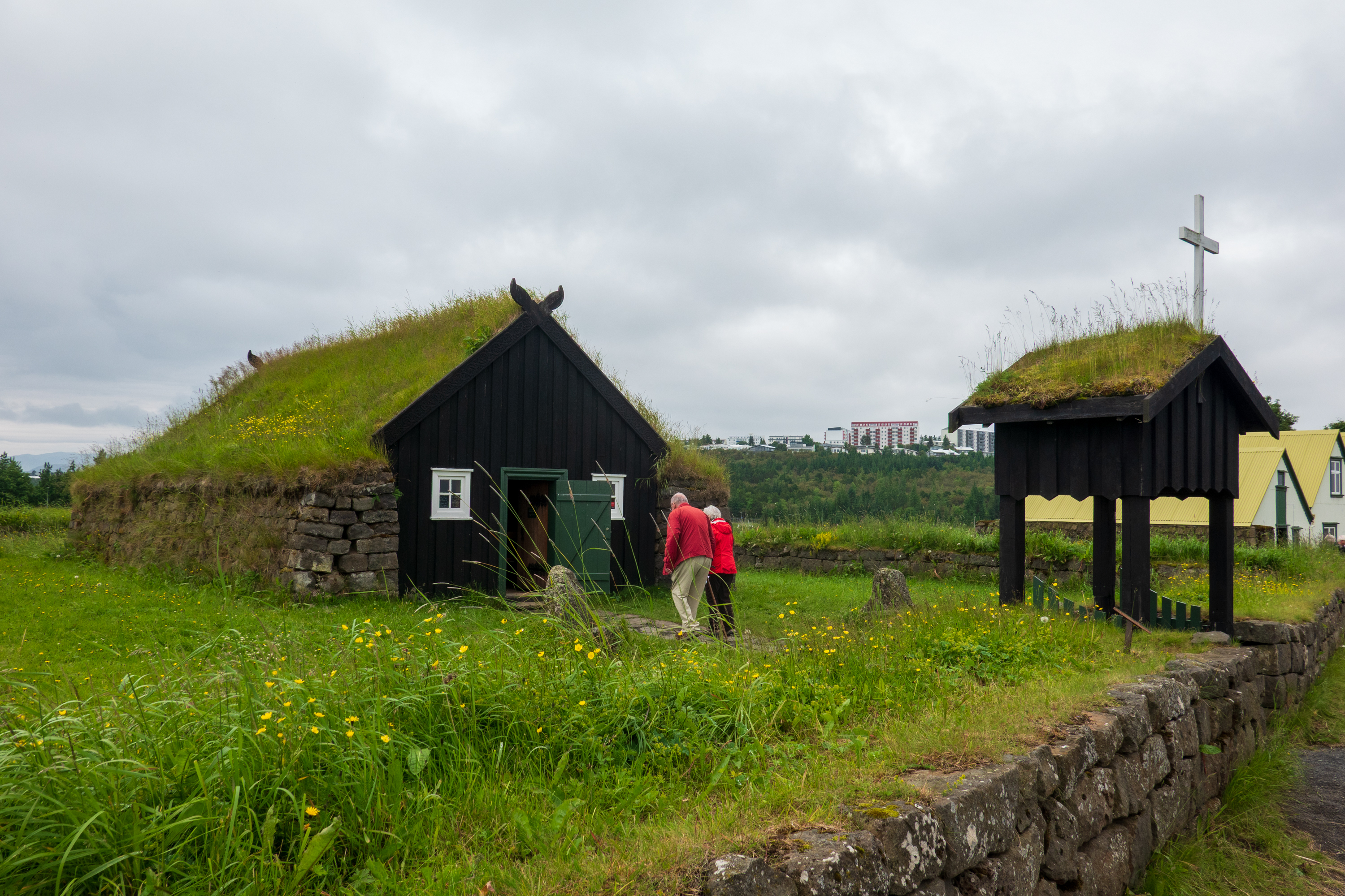
After finding our hotel, and meeting up with Barry and Thorunn, we headed for the Arbaer Open Air Museum, which is about four miles from downtown. (https://borgarsogusafn.is/en/arbaer-open-air-museum) Built on the site of an old farm, It features over 20 relocated historic and turf-roofed buildings that recreate a 19th and 20th century Icelandic village, farm, and town square.
We love these “step back in time” open air museums
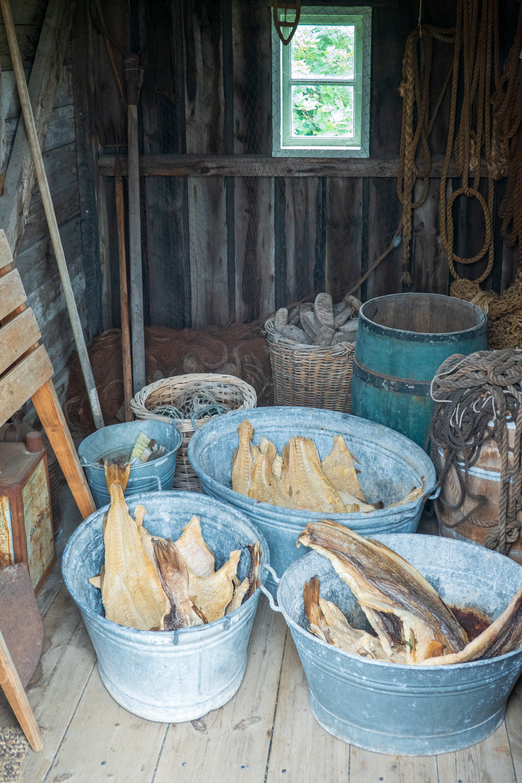
(dried) Fish. It’s what’s for dinner
Interesting historical note. While most of Europe heated homes with a combination of wood and coal, neither was readily available in Iceland. The Vikings cut a lot of trees, sheep reduced regrowth, and a huge eruption in the 1300’s killed off a lot of people and vegetation.
The original farmhouse and barn
So for generations, Icelanders burned peat, driftwood, animal dung, kept animals inside, wore wool, built well insulated houses, took geothermal hot baths, and shivered.
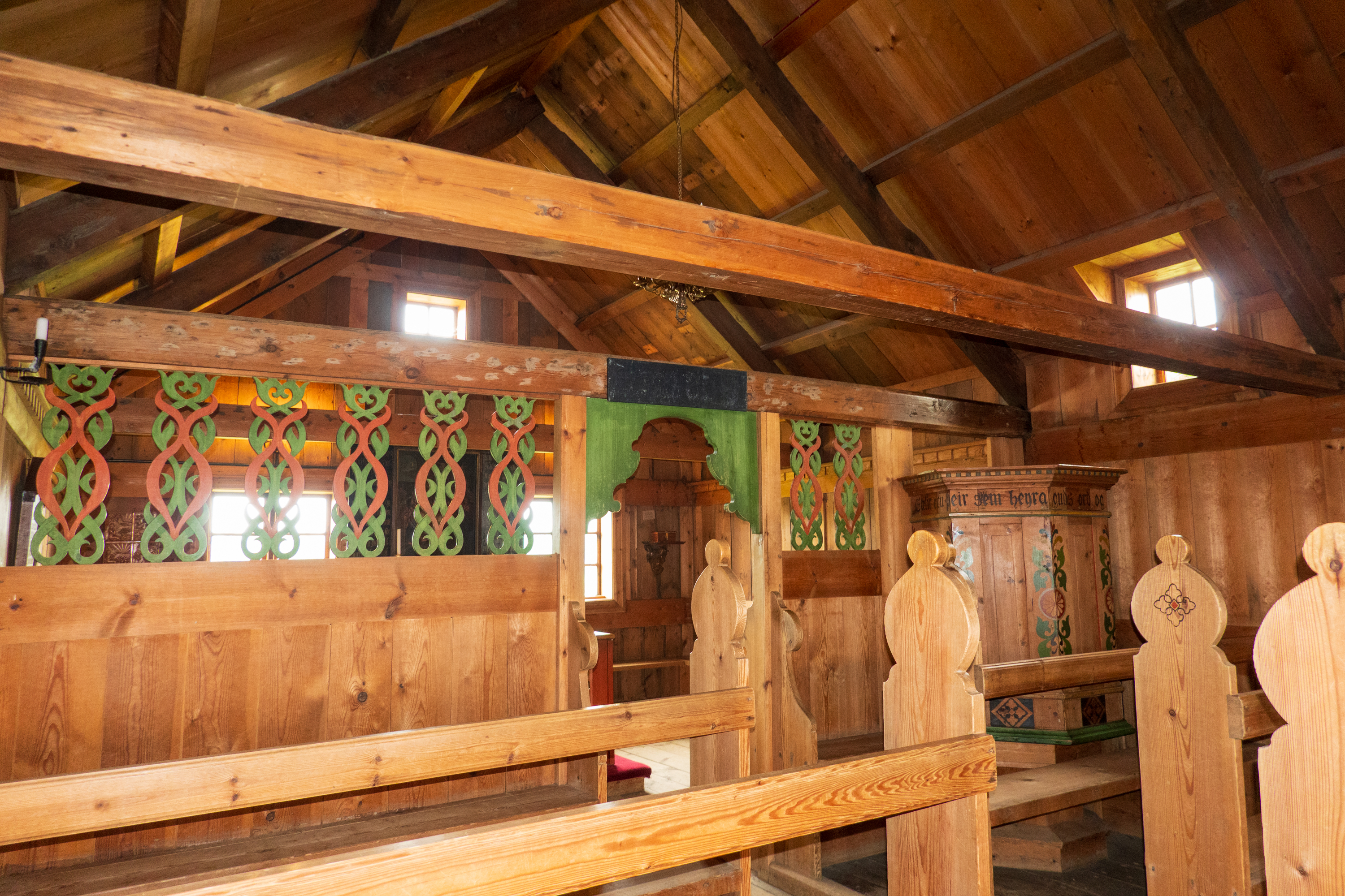
A most fascinating site made all the more special as Barry and Thorunn were married in the little church there.
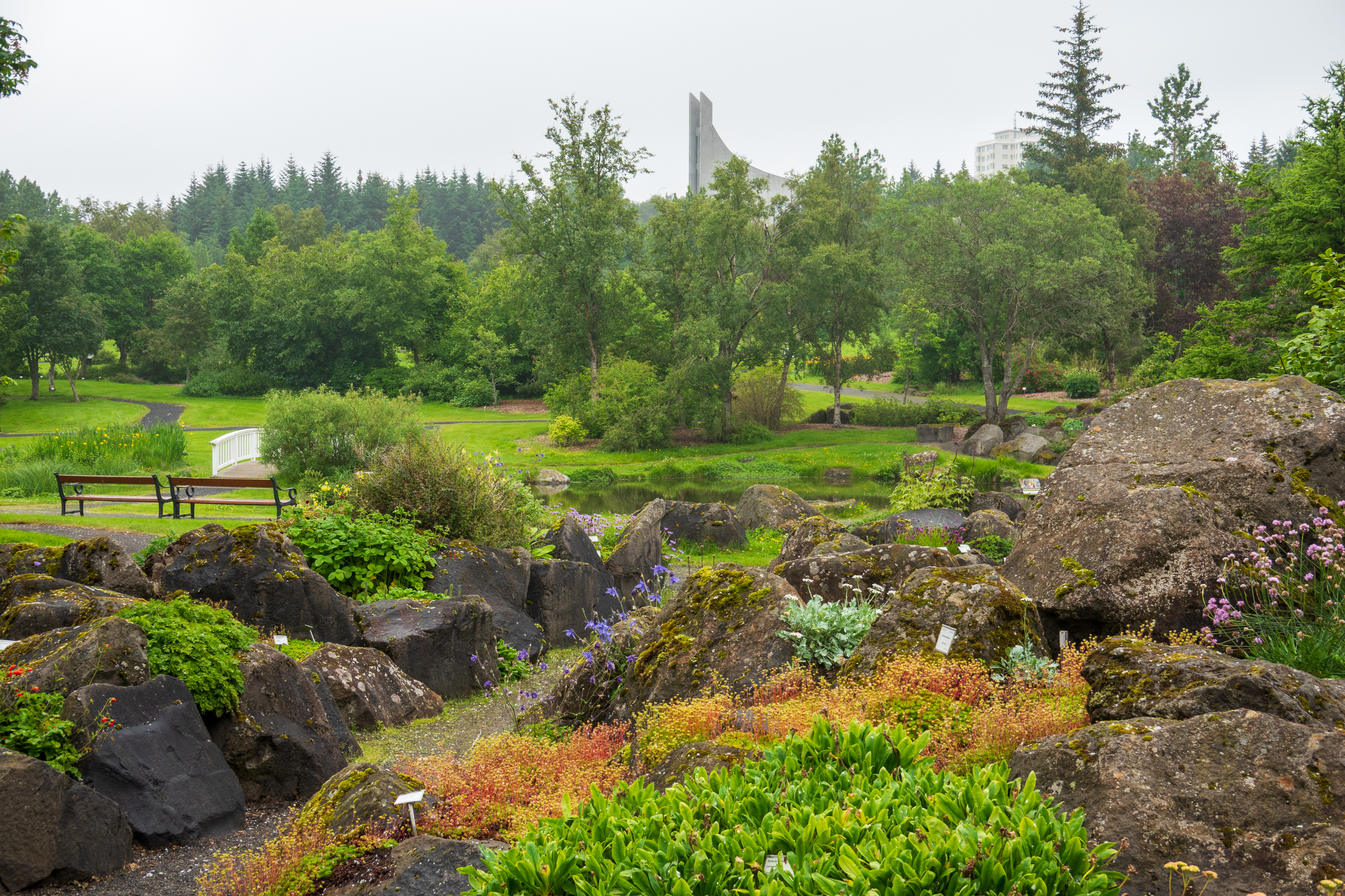
There is a focus on plants that can live in the rocky ground.
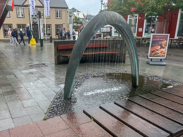
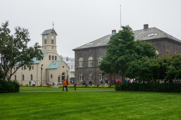
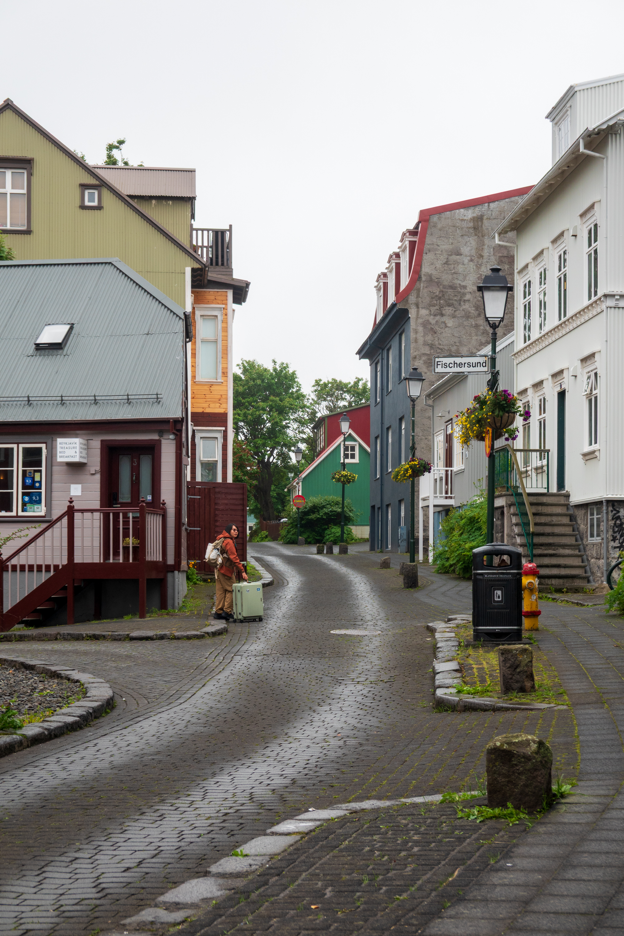
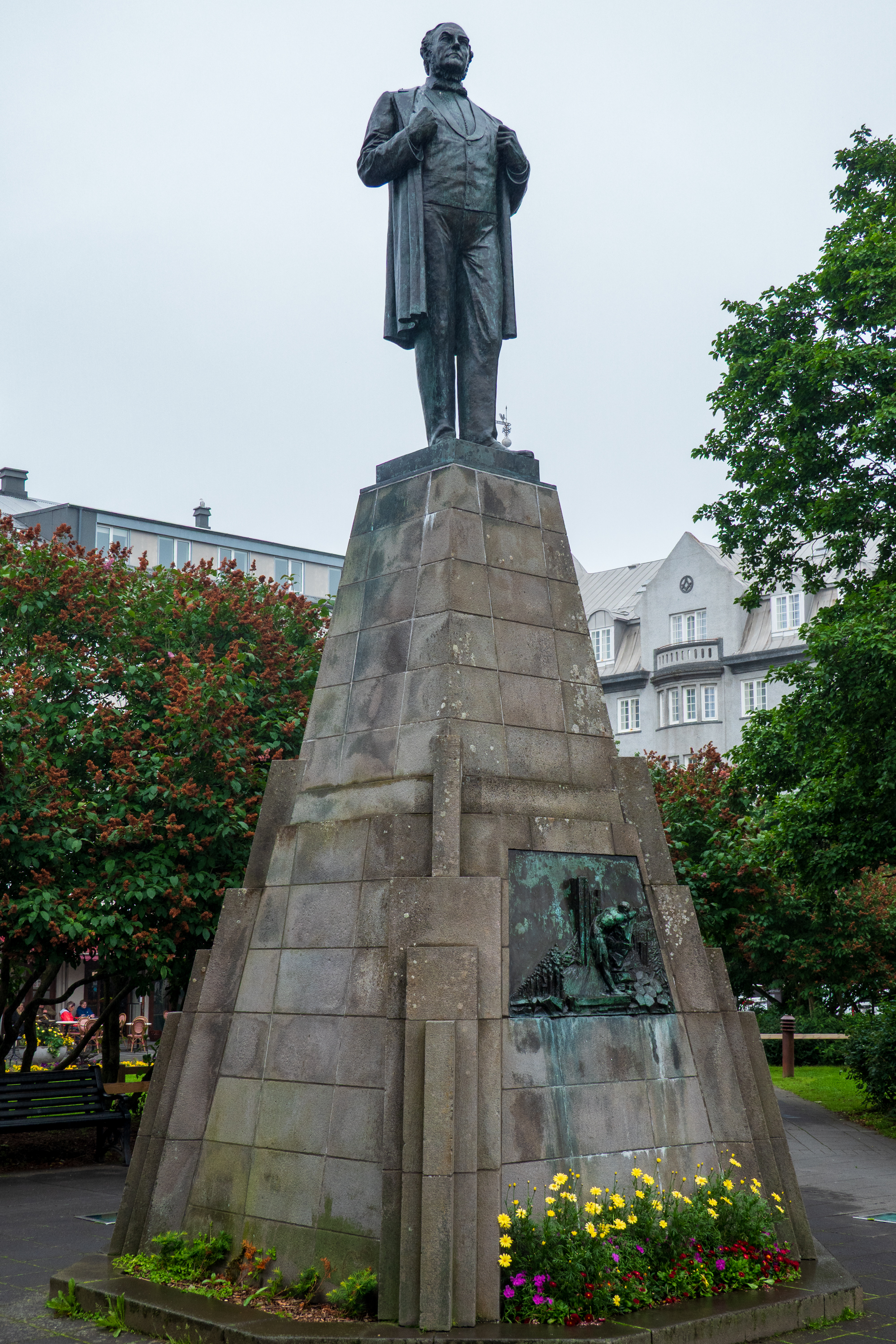
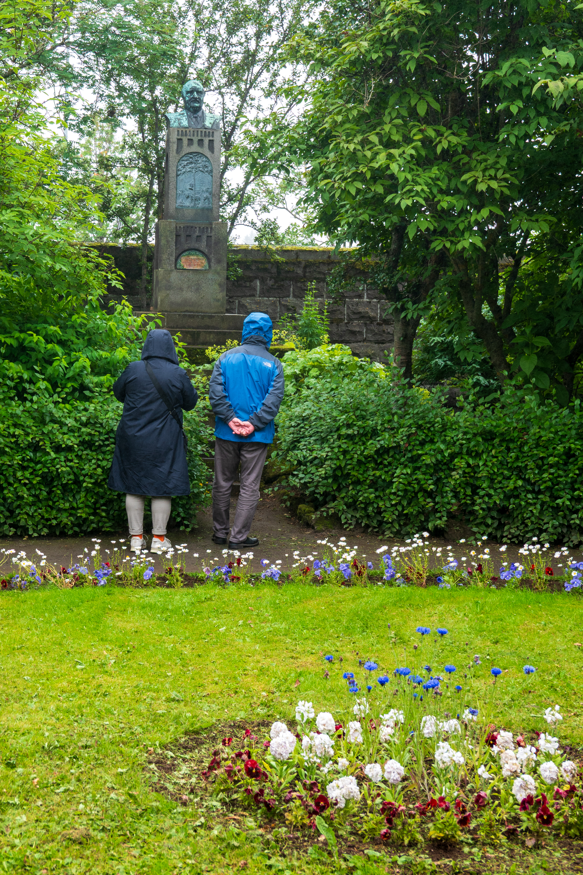
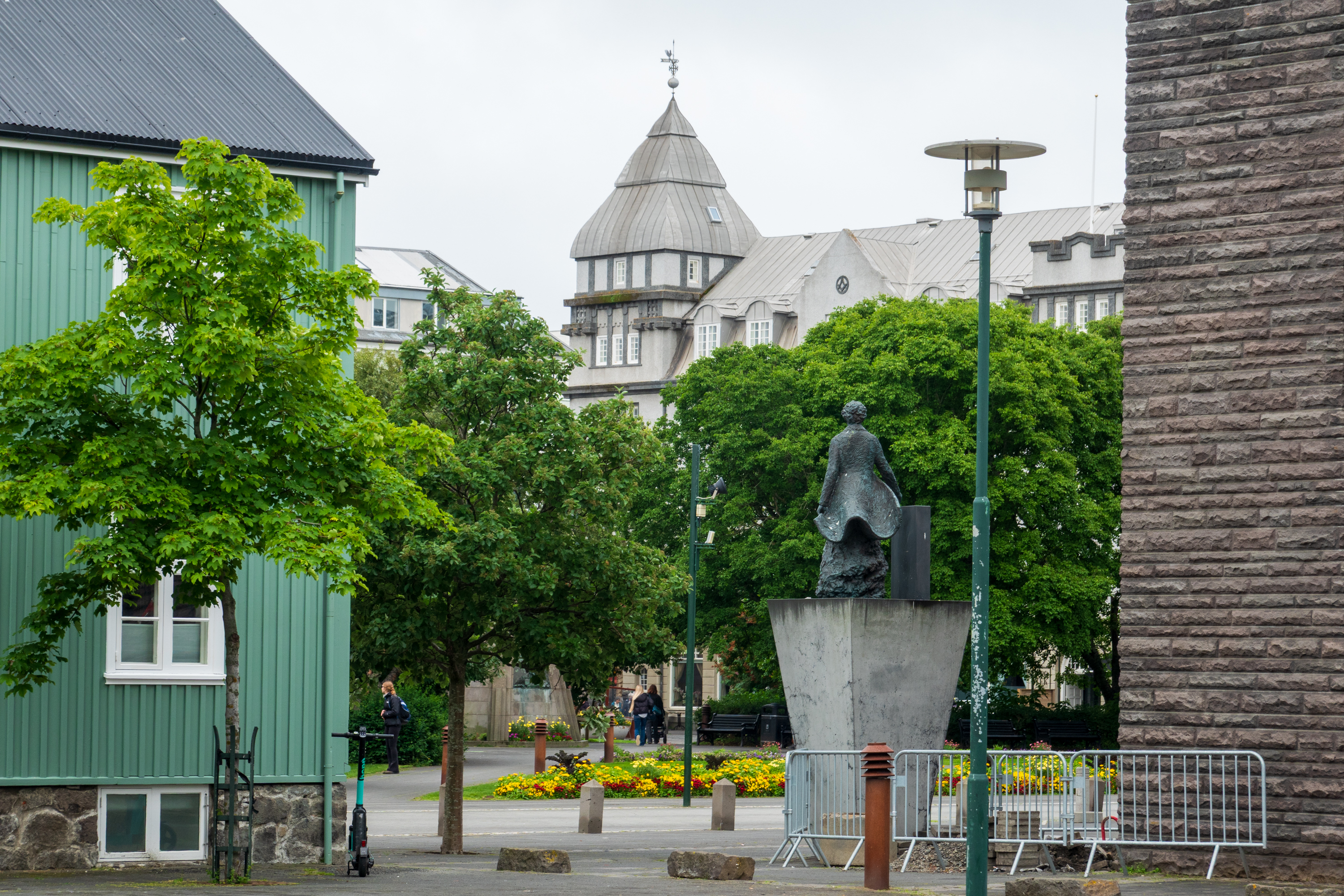
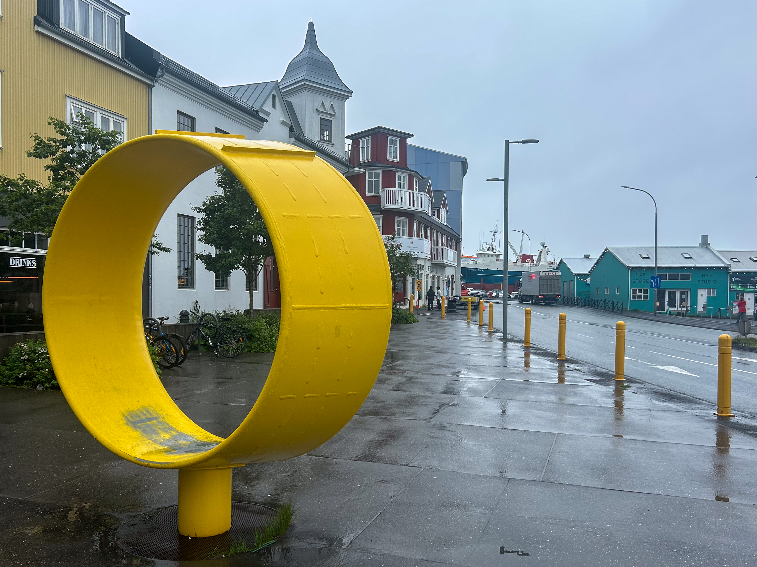
After a lovely lunch at the Cafe Flora in the gardens, we went to discover the downtown. Quaint buildings, some lovely squares and the Parliament House were all interesting.
Unlike the rest of Europe, Iceland has no railways. There have been two, one that ran from 1913 to 1928, to haul stone for the harbor and the parliament, and another in the 2000’s to build a dam for hydro electric power. (https://en.wikipedia.org/wiki/Rail_transport_in_Iceland) Before the widespread availability of electricity, the cost of coal for a railroad would have been high. Now, electric trains might be an option, but the cost of maintaining the road beds over unstable volcanic ground would be high. One reason that most roads in Iceland are simply graded gravel – easier to repair after snow and landslips.
Parliament and Cathedral.
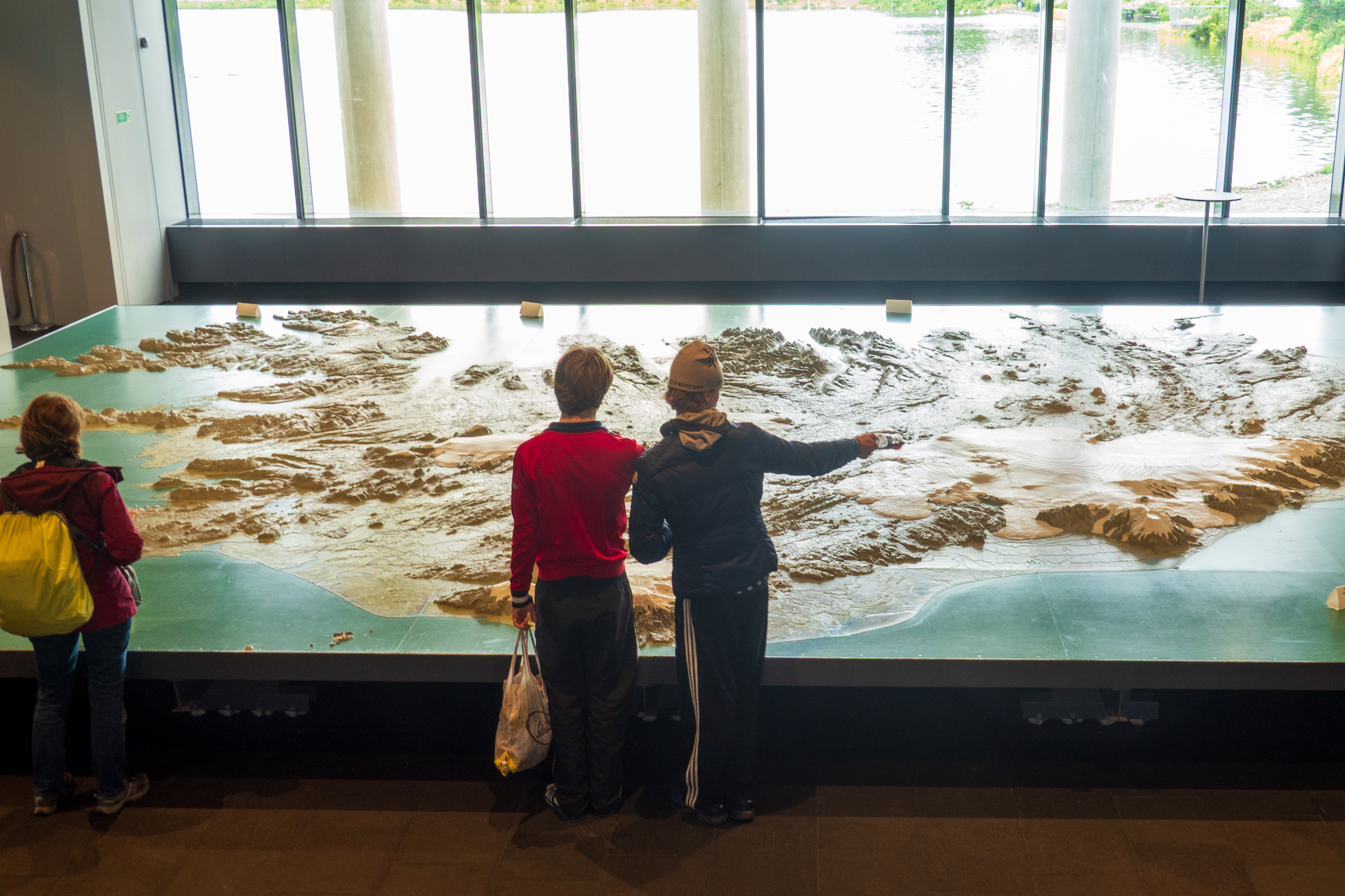
The City Hall also had a wonderful 3D map of Iceland which we examined at length. Fascinating to trace our route around the island.
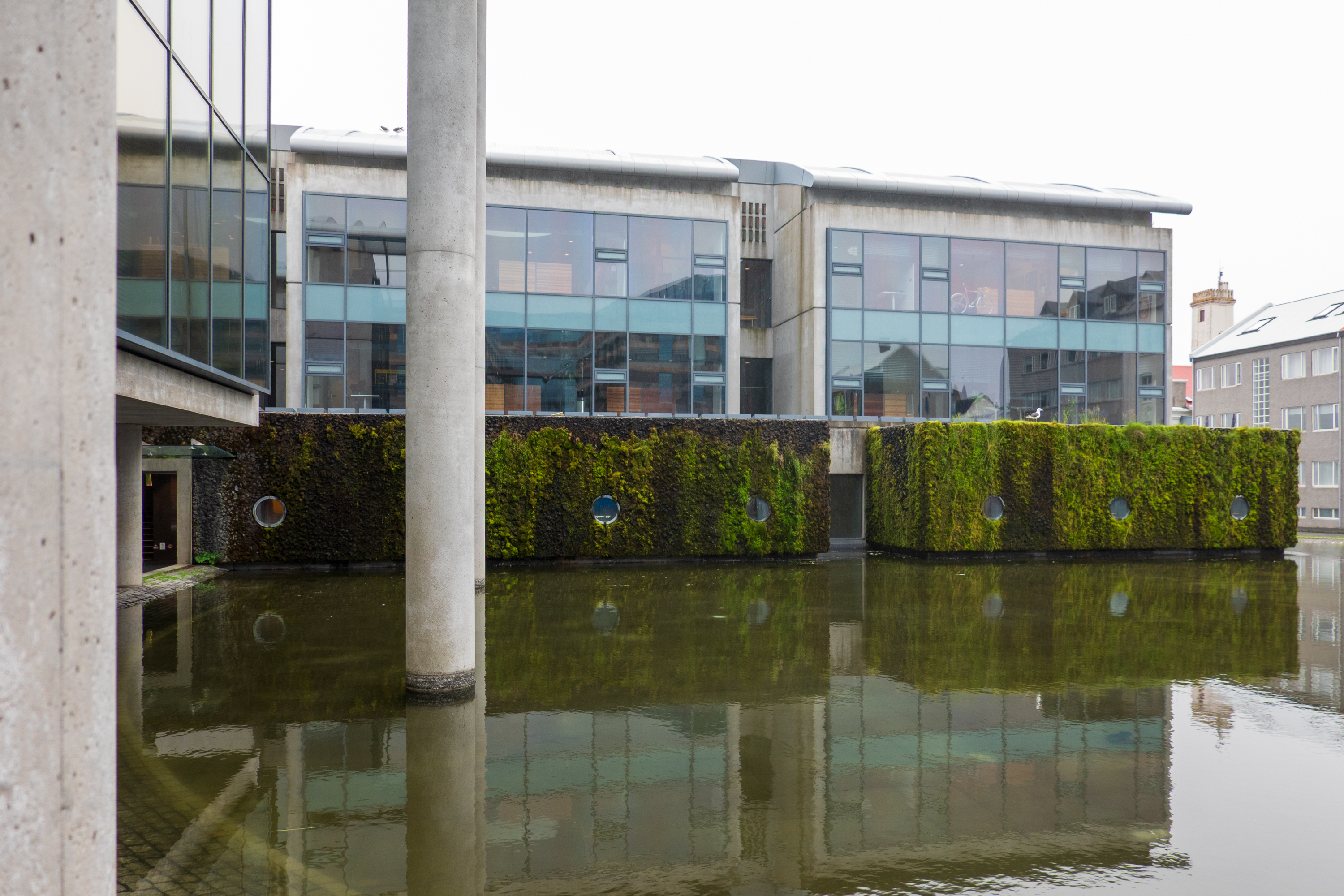
Super modern city hall
All of Iceland in one 3D map
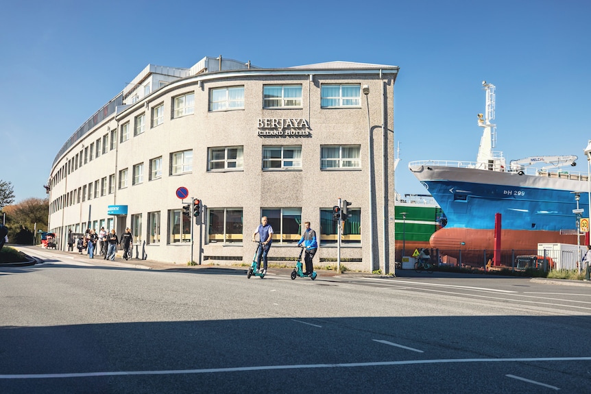
We ended up the day by checking into our room – luggage already delivered. The hotel, now run by a Malaysian company, sits right next to the ship yards.
Wasn’t this sunny during our visit!
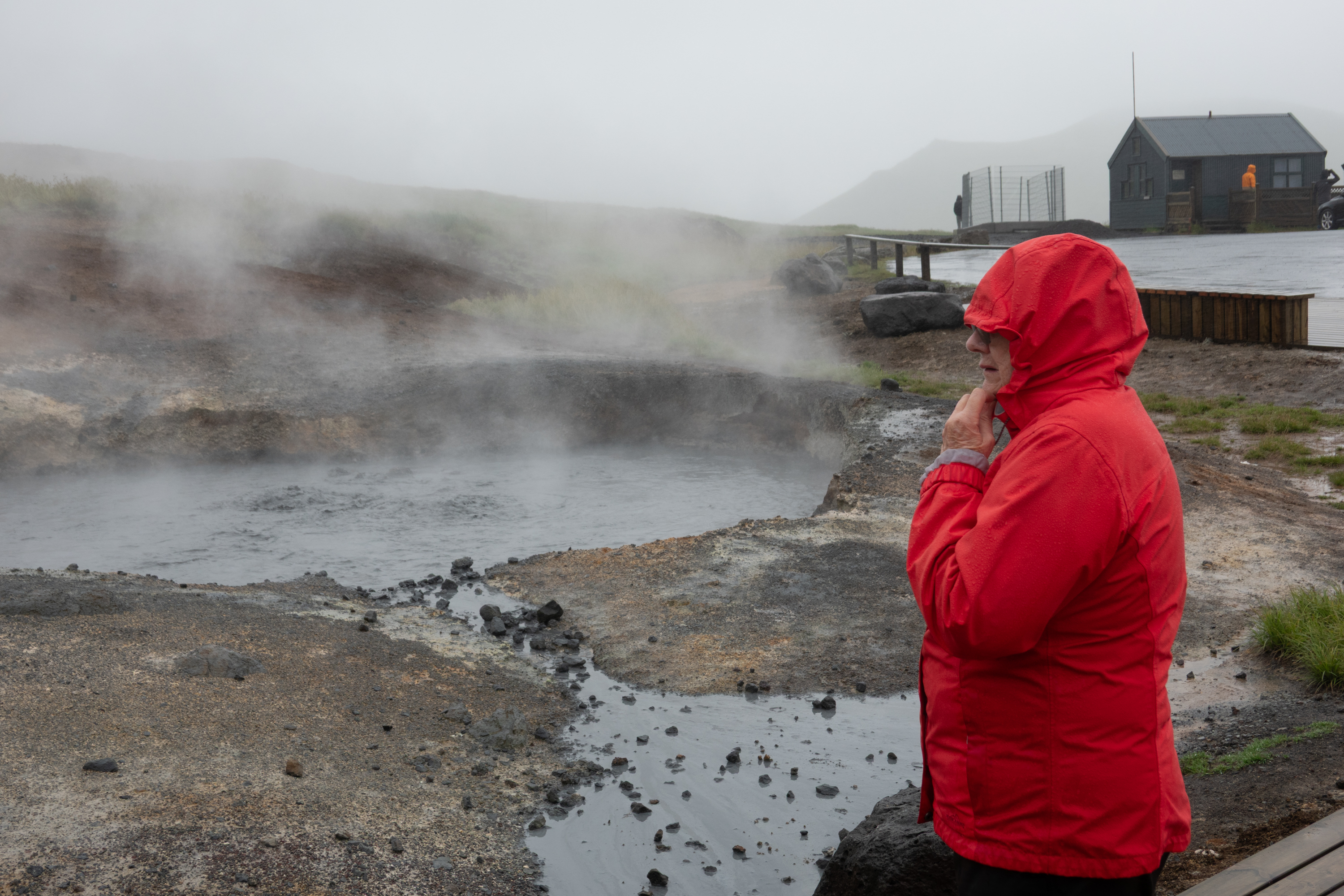
During the next two days, Barry and Thorunn took us to explore the area outside the city. Sadly, the rain continued unabated, so we skipped some of the scenic overlooks. We stopped by a popular hot spring, but did not stay to bathe.
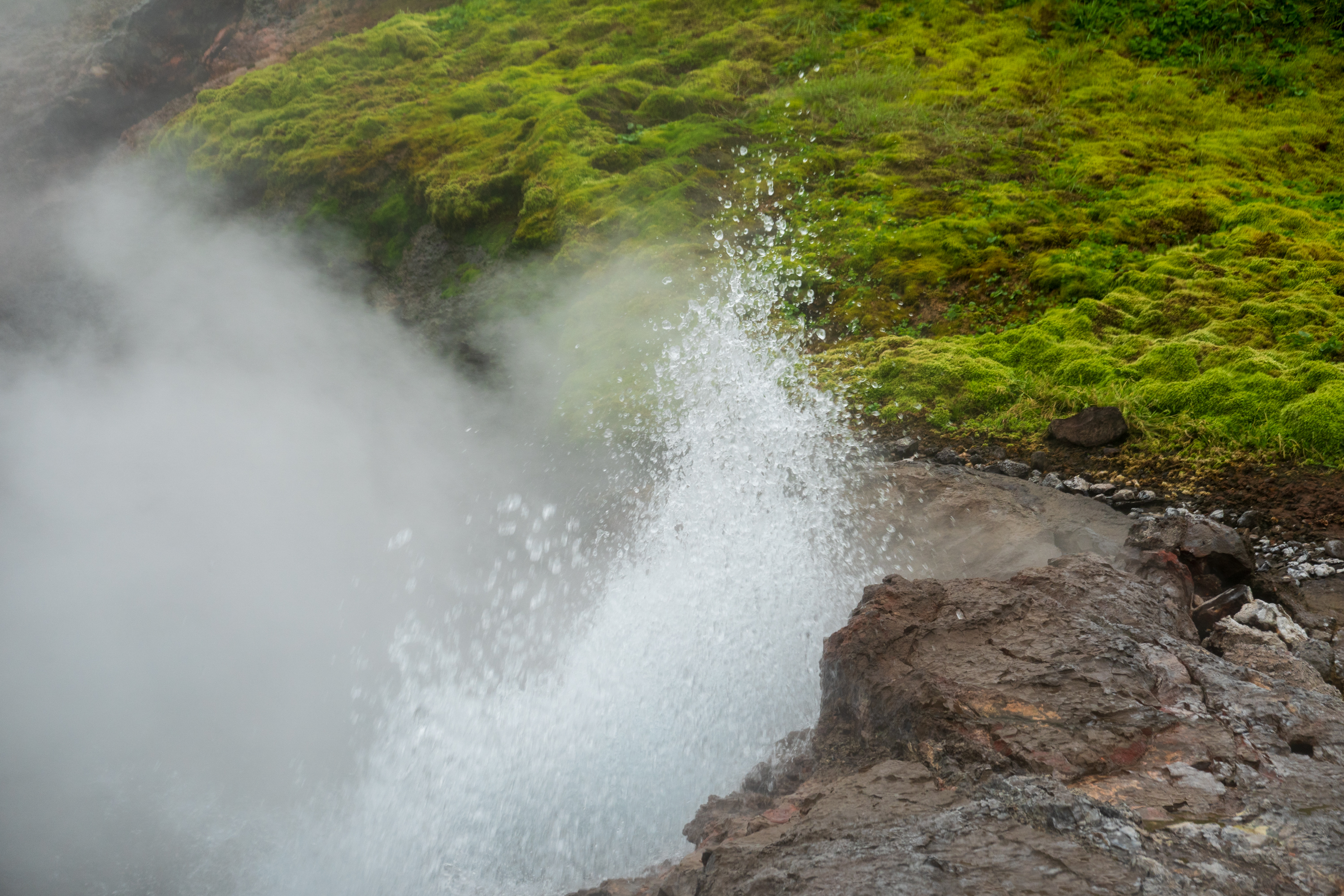
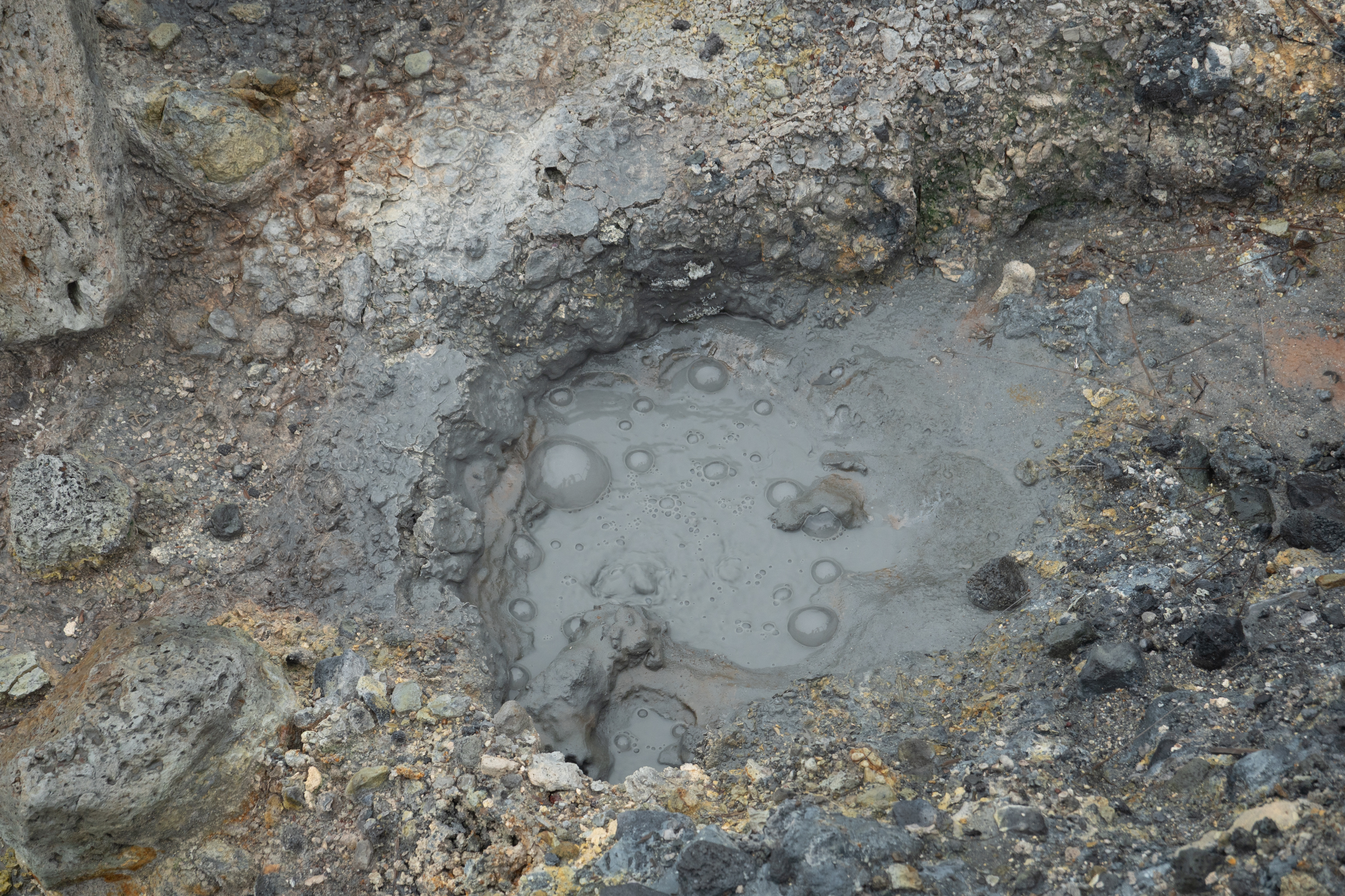
Don’t put your hand in the water!
A bit steamy!
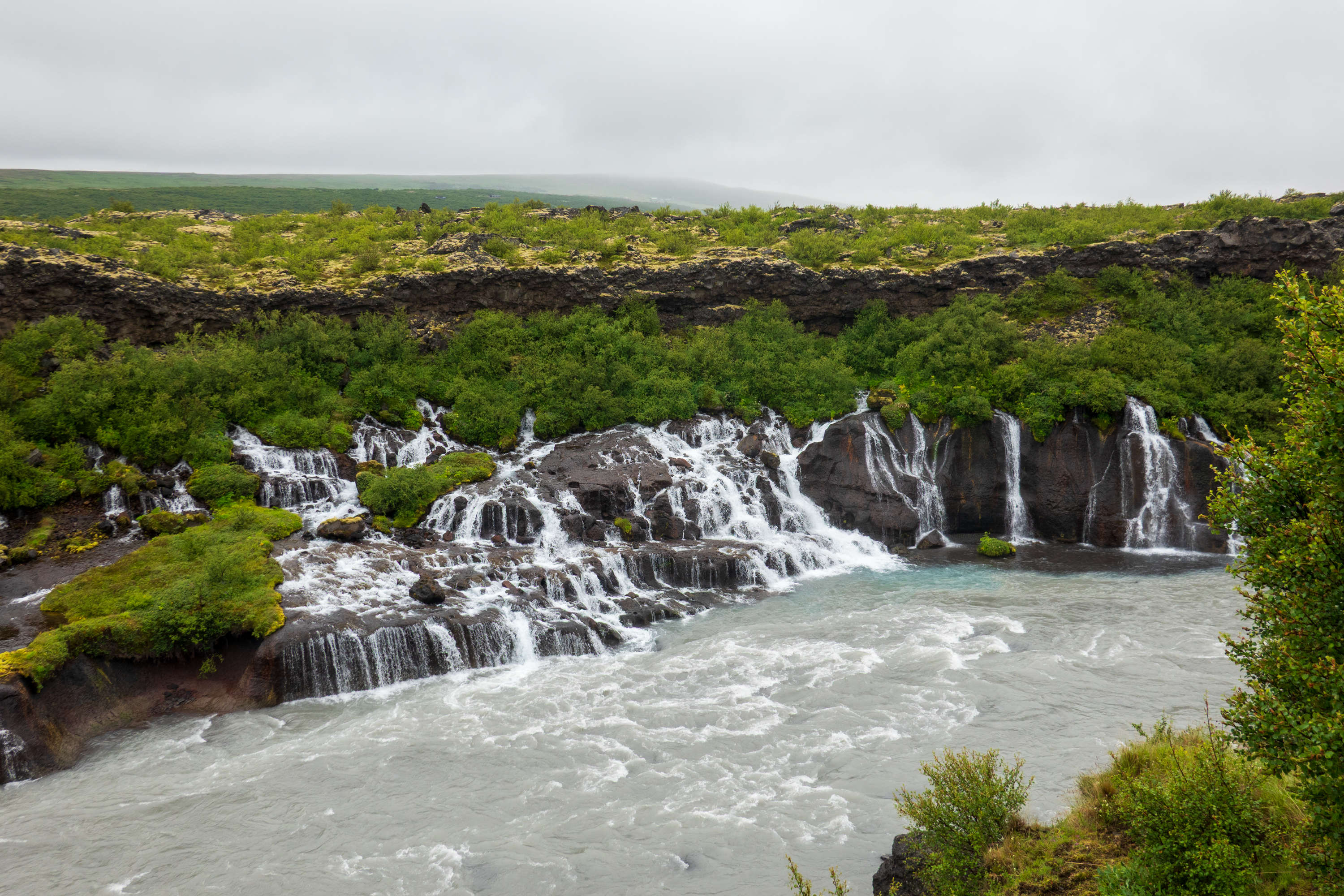
We visited the Reykholt Hraunfossar, an unusual water fall as there is no visible river upstream. It it fed only by water seeping through the lava field.
The waterfall without a a (visible) source. Note the blue, rock flour, or glacier milk.
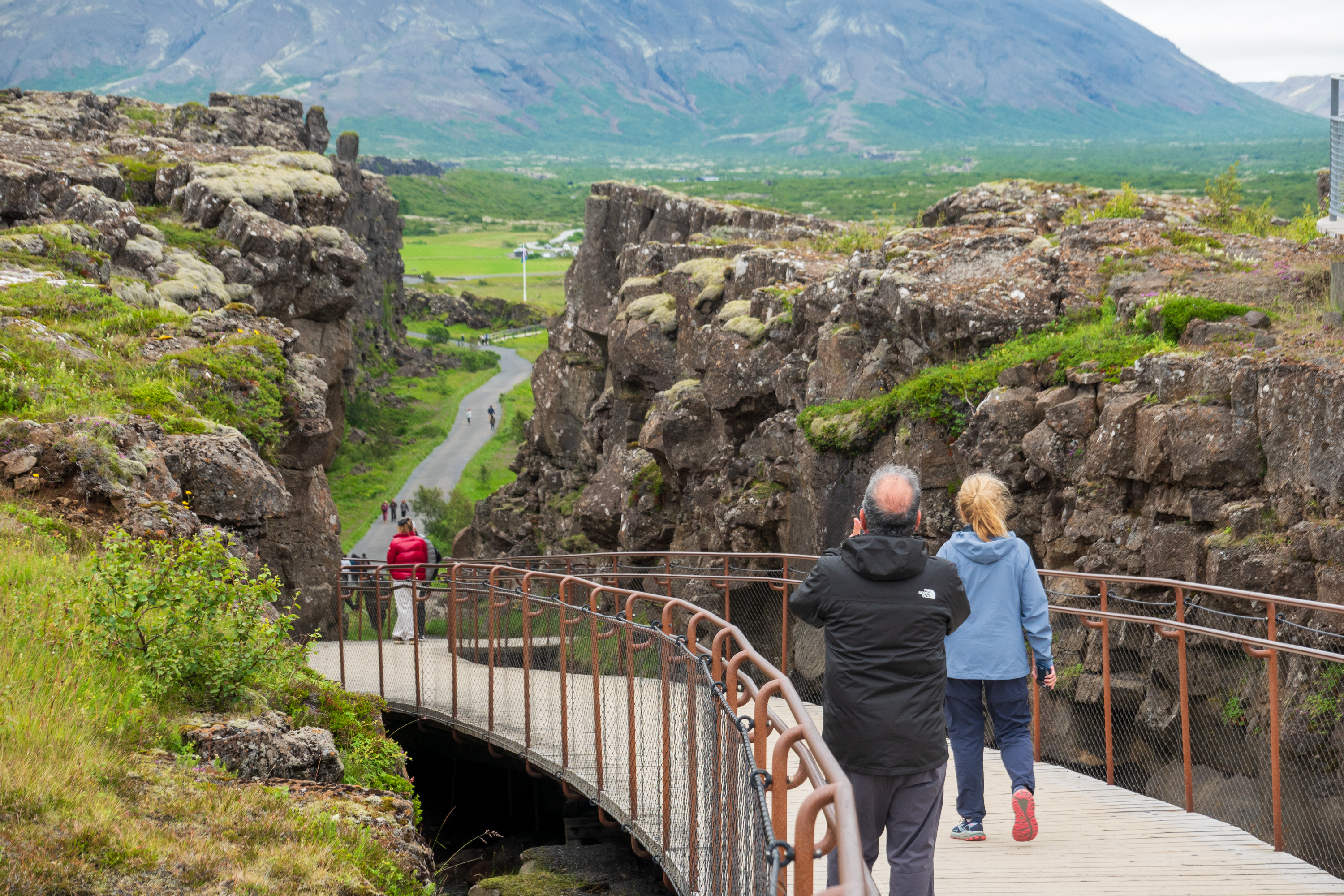
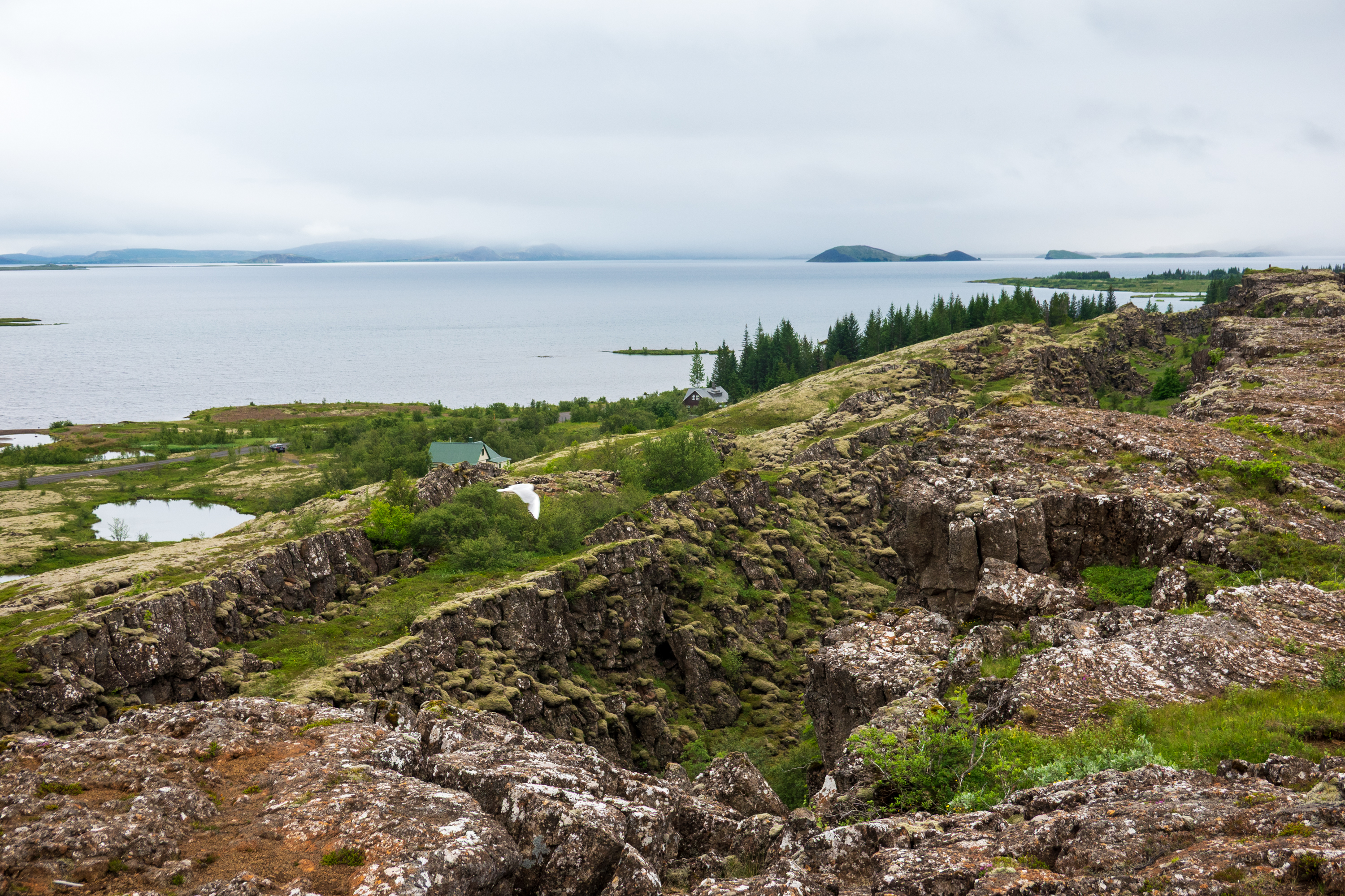
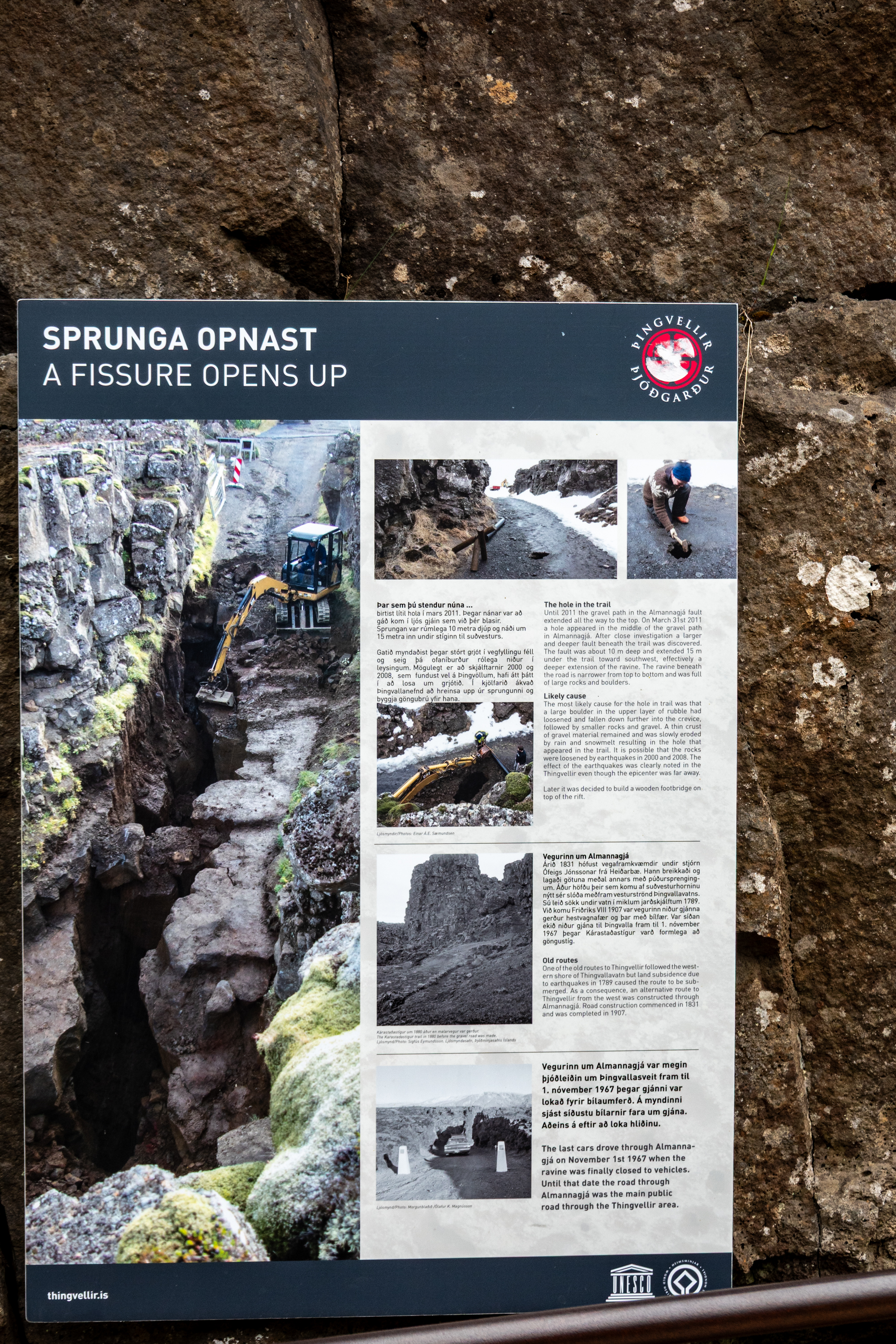
Iceland sits on the North Atlantic Ridge. (https://en.wikipedia.org/wiki/Mid-Atlantic_Ridge) Indeed, it only exists as dry land because, over the millennia, the lava from the volcanos has built an island. And that island is literally split in two. At the Þingvellir National Park you can stand on two tectonic plates at the same time. Þingvellir is also the site of the original Icelandic parliament, dating from about 930.
Looking into the rift, North America left, Europe right.Þingvallavatn, the largest natural lake in Iceland
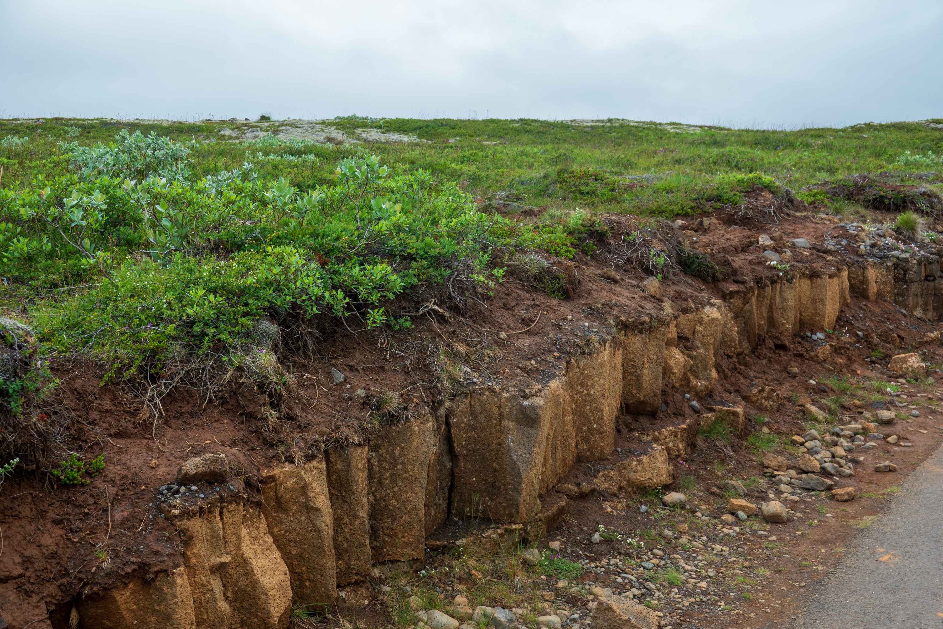
And soil, continuing Fred’s amazement of the lack of actual earth in Iceland.
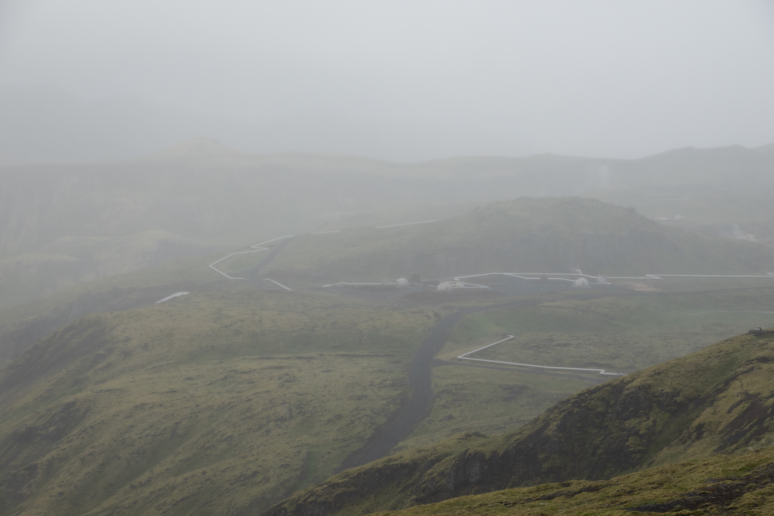
Nesjavallavirkjun is one of the biggest thermo electric plants in Iceland, providing power to Reyjavik. The highly insulated pipes carry volcanic hot water great distances at extreme pressure.
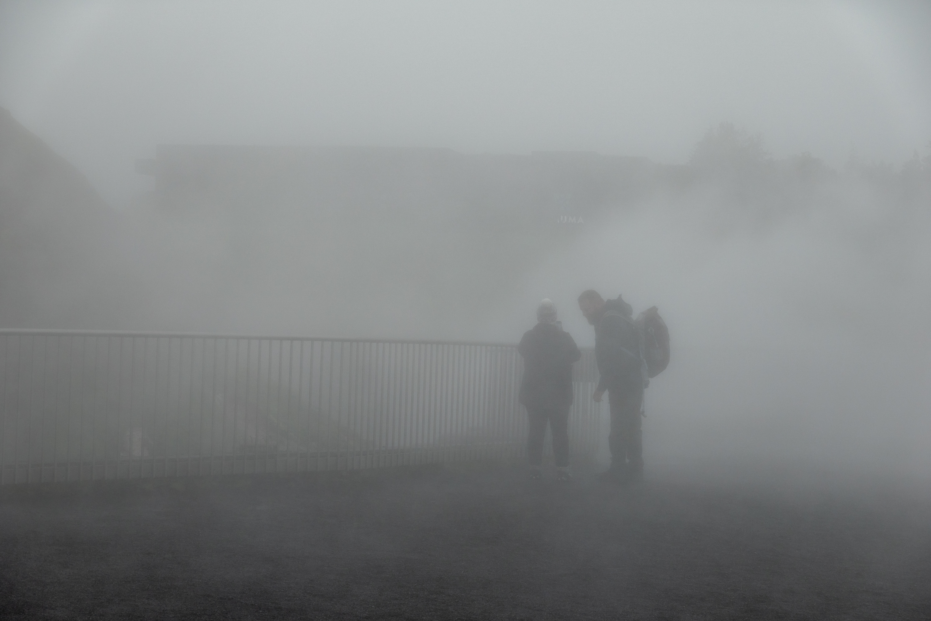
This is supposed to be a scenic overlook!
Deildartunguhver hot spring has the greatest hot (100C) water flow in Europe. Provides domestic hot water to towns up to 60 kilometers away.
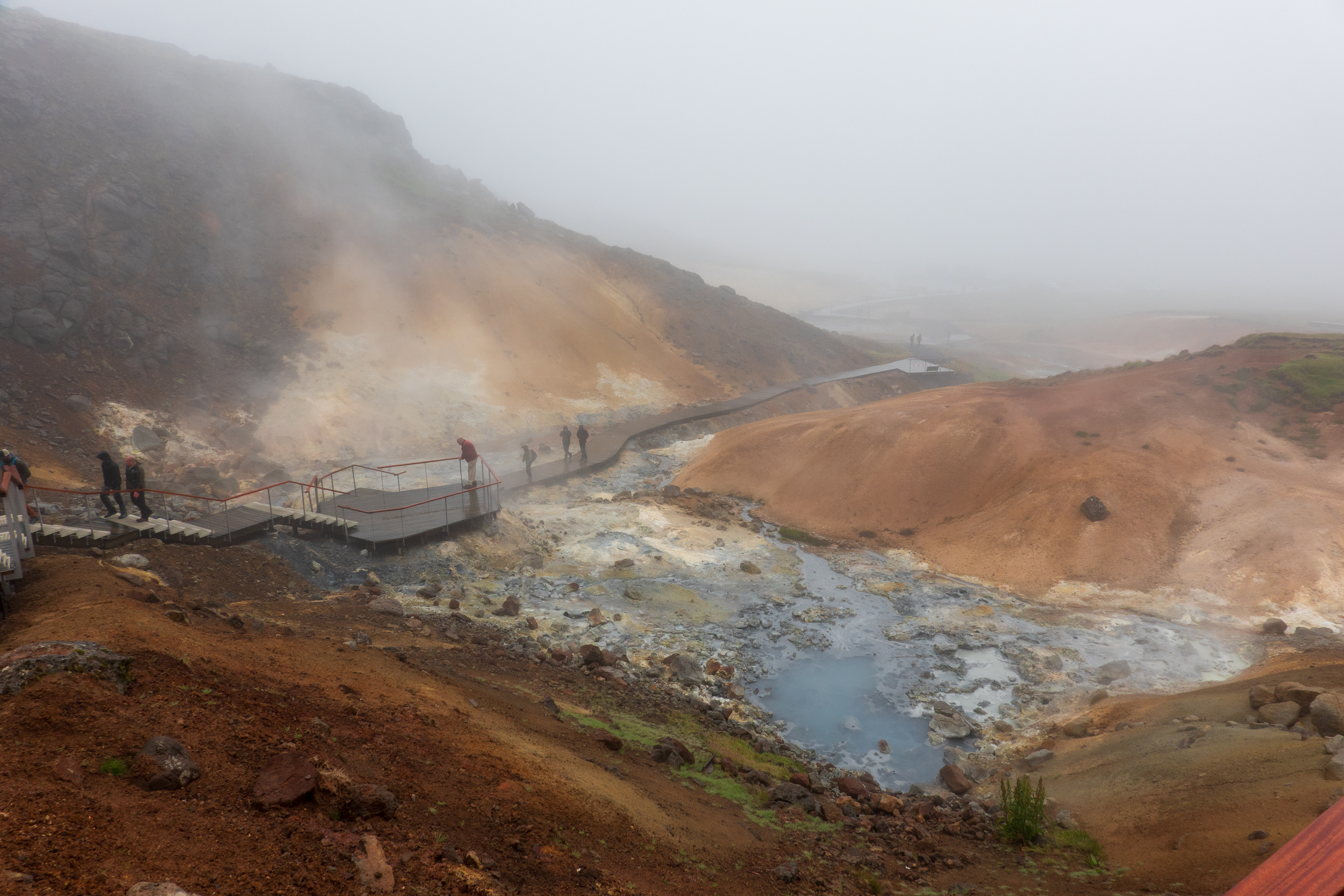
Hard to see very far, but it is a good idea to stay on the walk!
A bit cloudy and miserable!Watch your step!
After three wonderful, if soggy, days, we had an easy flight back home to Washington.
Iceland was not icy but we were very unlucky with our weather. But more of that later.
Isafjordur
Our first stop was Isafjordur in the Westfjords.
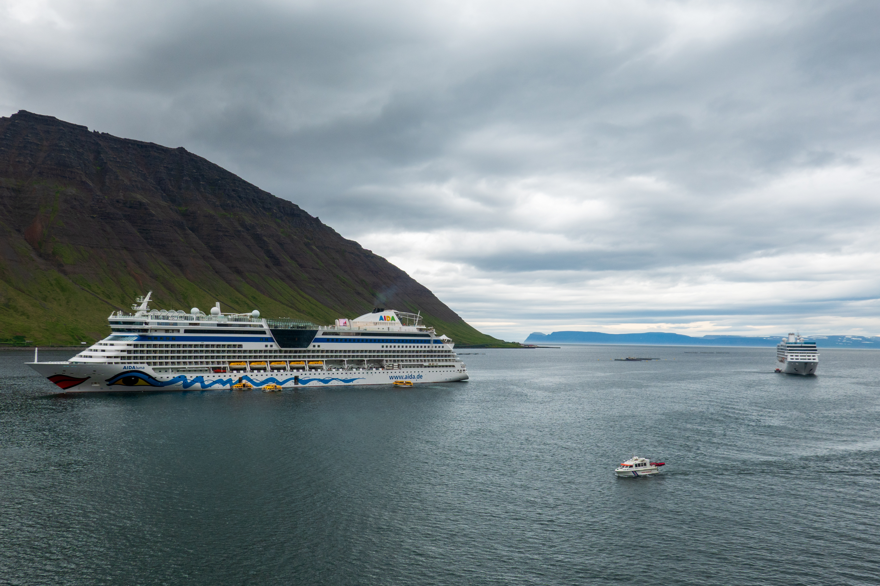
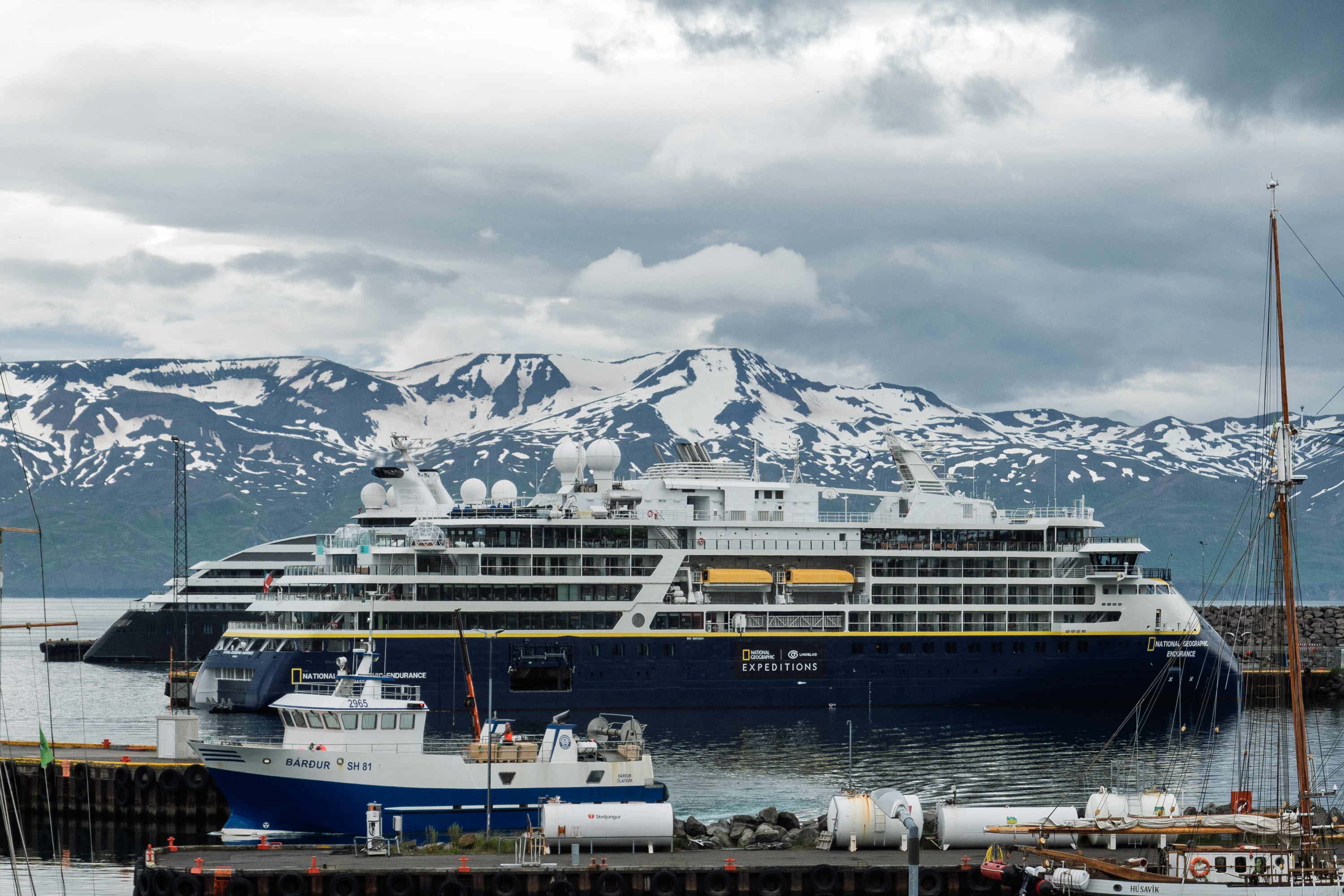
Our first encounter with a cruise ship jam. There were four of us, two tied up and two anchored out. Yes, Iceland is becoming a hot tourist destination!
Founded in the 9th century by Vikings, it had been a trading port since the 1600’s. And while it is home to one of the largest fisheries in Iceland, it remains very much a small town. It was also our first exposure to the fjord geography and society. Much in the way that eastern mountain folk in the United States refer to someone as “living in the next holler,” Icelanders talk about someone living “two fjords over.” The steep walls and narrow valleys are said to provoke two, different reactions – some people say they feel protected while others find the geography claustrophobic. Places that are only a mile or two apart across the water or mountain can be hours away by road.
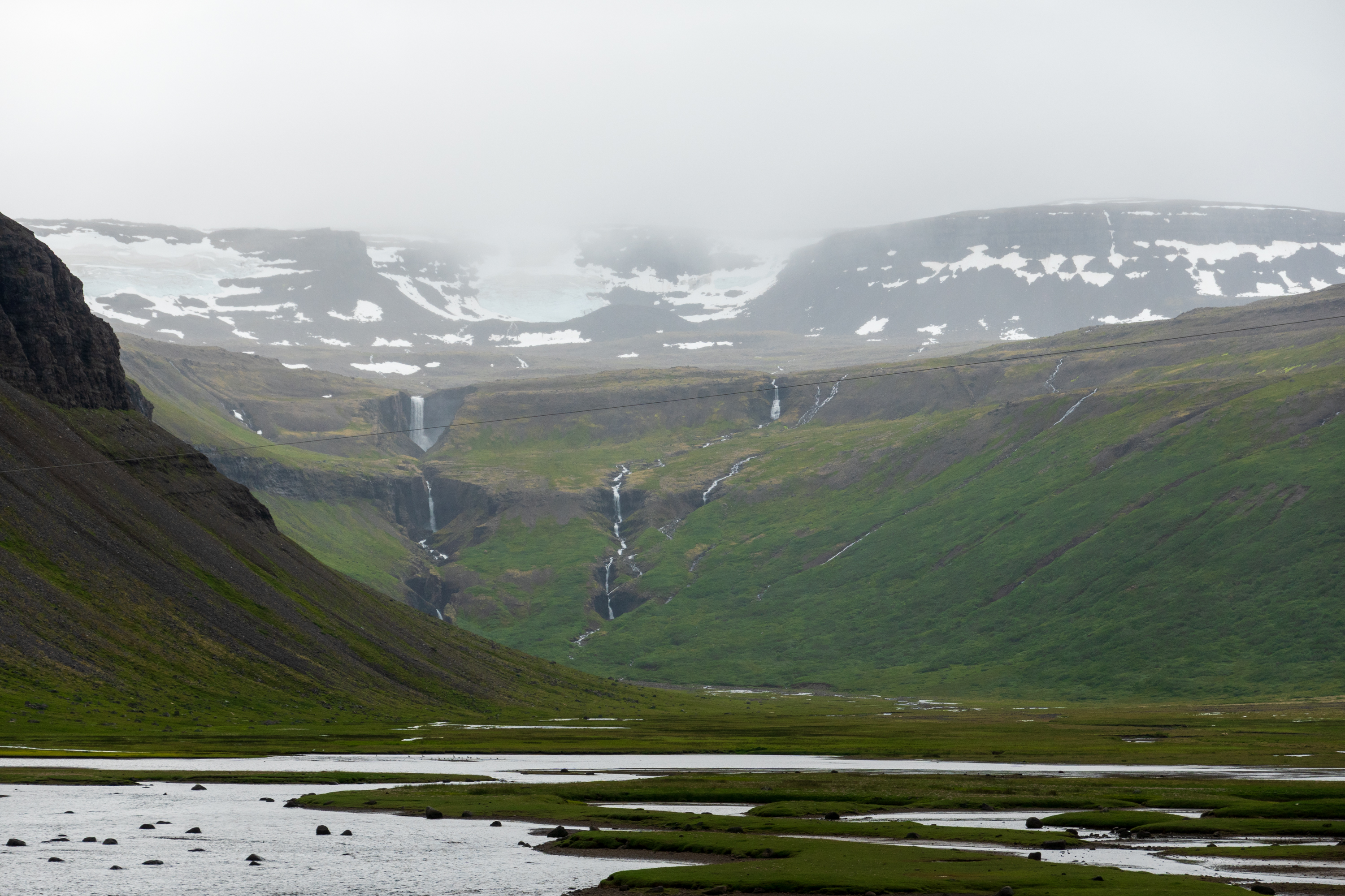
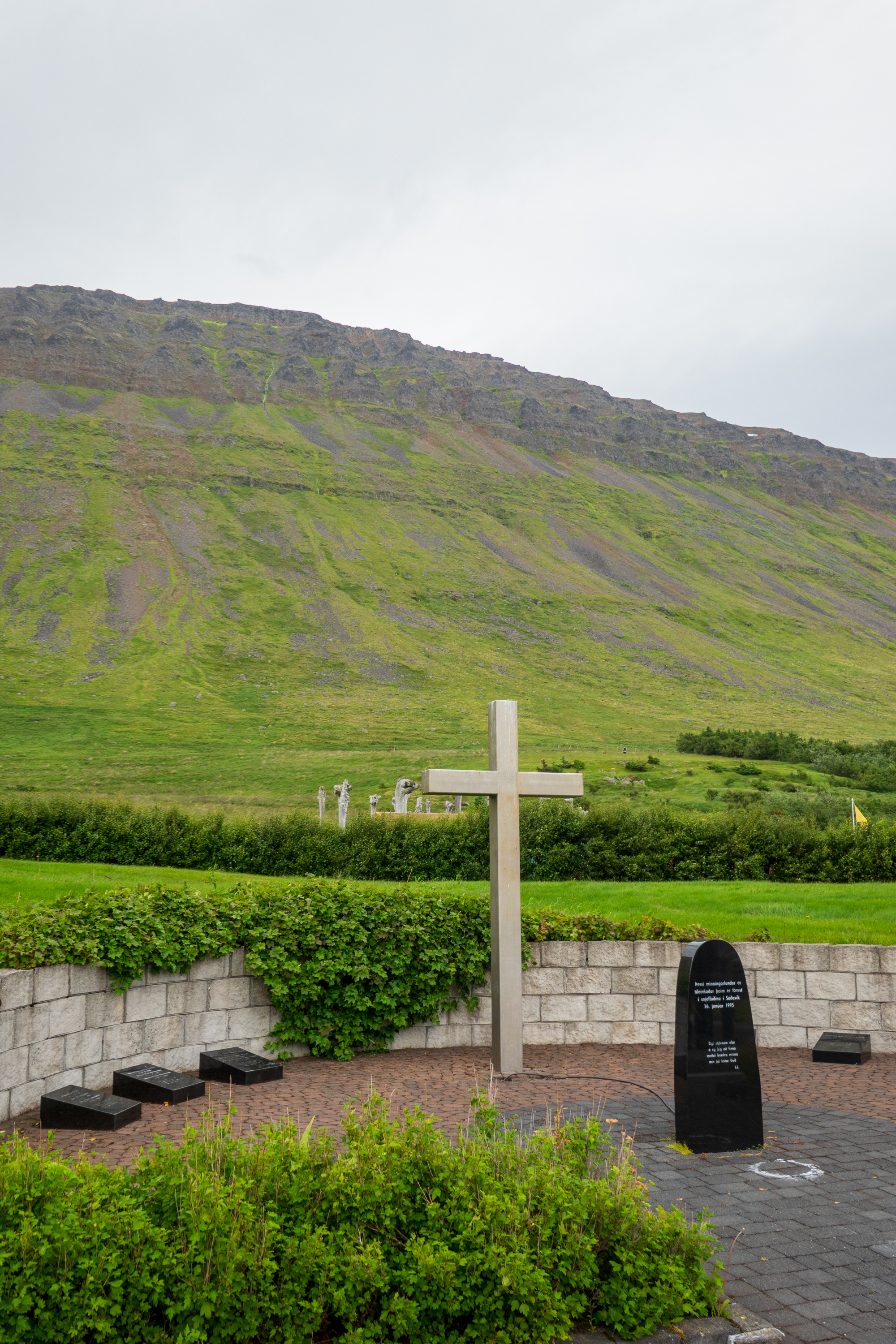
The day was cloudy and misty as we set out to visit Sudavik (Súðavík in Icelandic), the site of a fatal avalanche in 1995, the “Stolen” church, and the arctic fox sanctuary. The avalanche of 1995 swept away most of the houses and killed some fourteen people. Since then the village has been relocated and only “summer” houses are permitted at the old site.
The end of the fjord.
Memorial to the people killed by the avalanche.
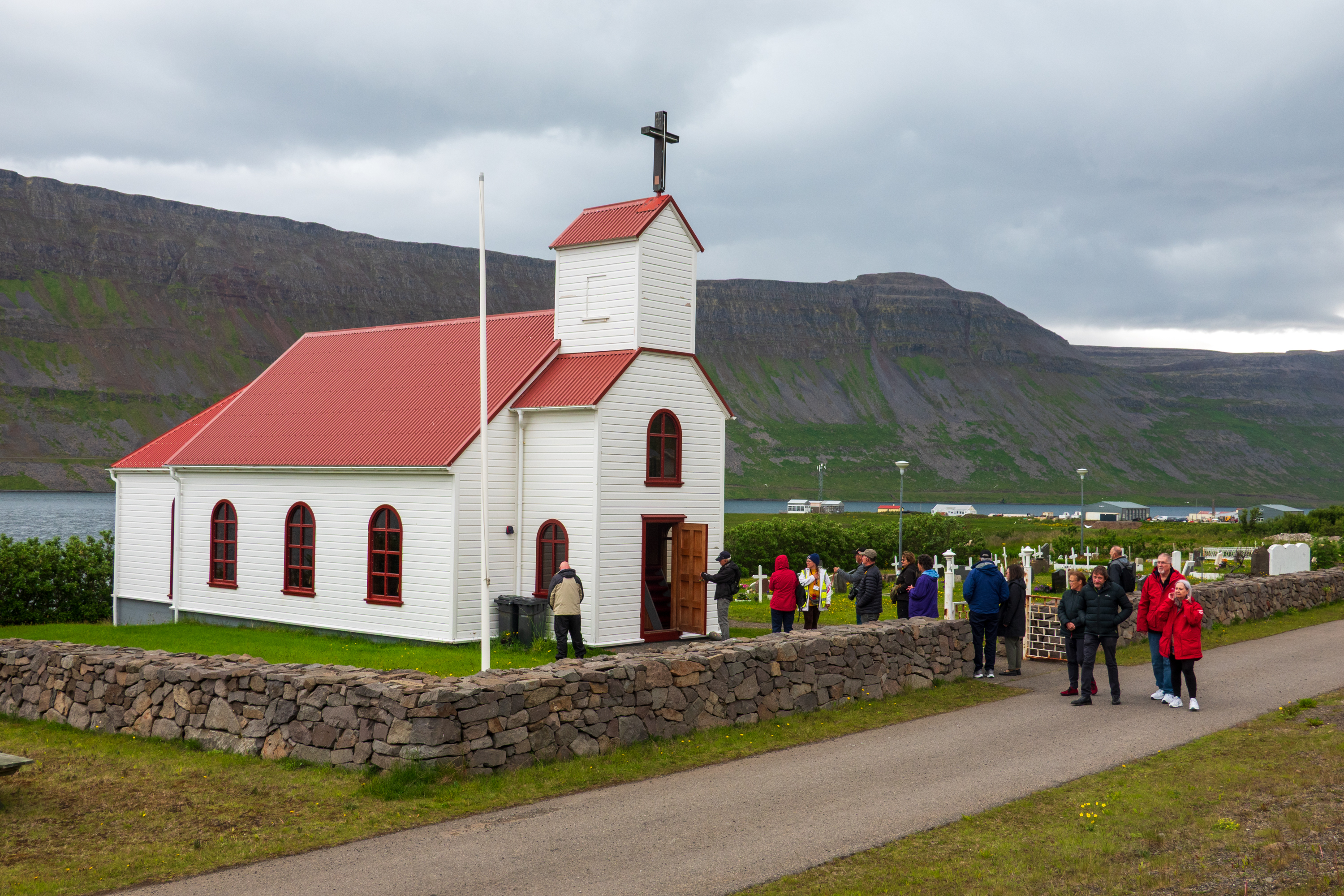
The “Stolen” church (Súðavíkurkirkja – there will be a spelling quiz) was originally built, with very expensive, imported Norwegian timber, in 1899 at a remote fishing village/whaling port. With the decline of fishing and whaling, the site was largely deserted the church fell into disuse. When the Sudavik congregation needed a new sanctuary, the church authorities refused to fund the project and told them to relocate the old building. It was reconsecrated in 1963 and the few remaining inhabitants of the original site claimed it was stolen. We enjoyed a simple concert.
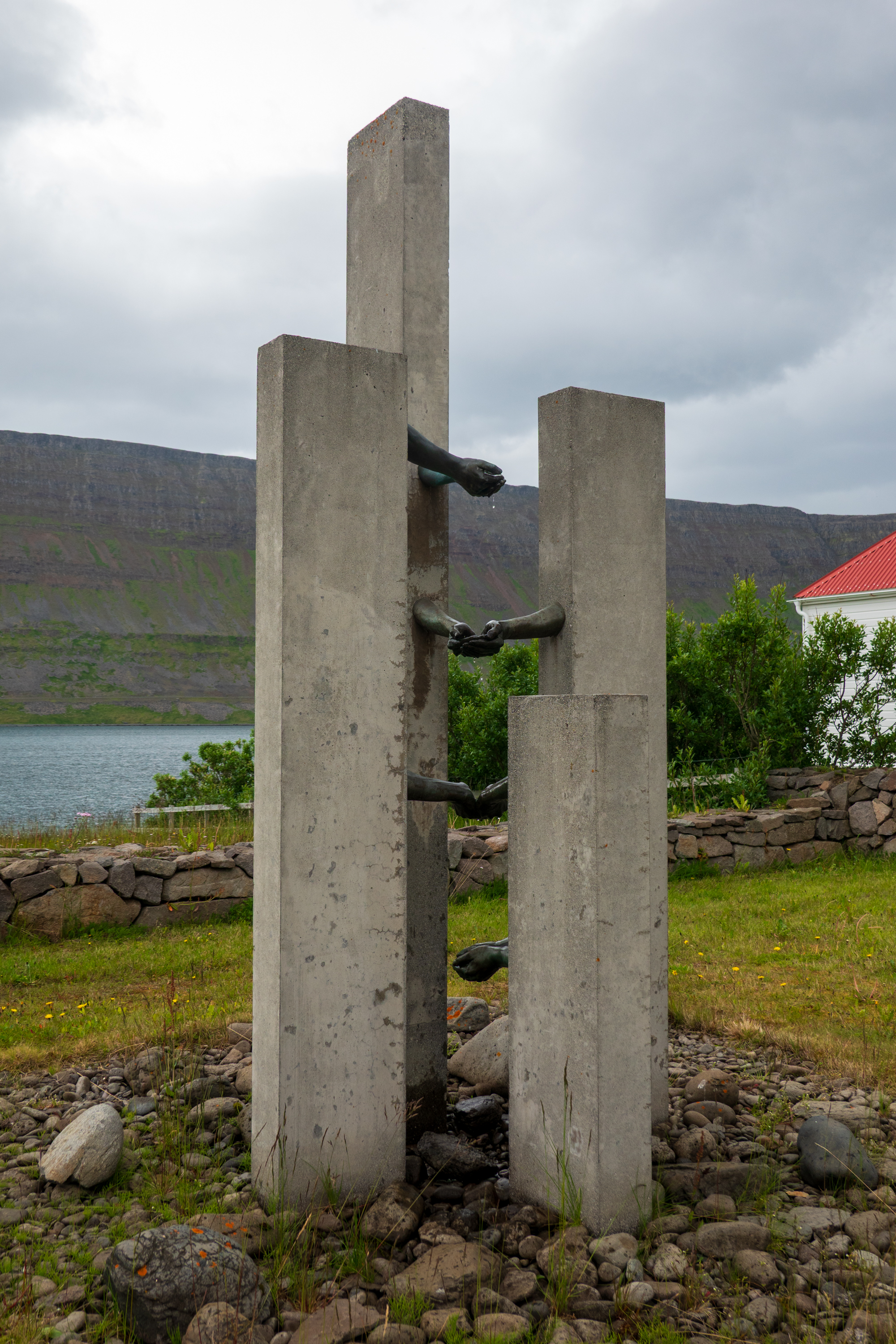
Memorial to lost sailors
The stolen church surrounded by tourists.
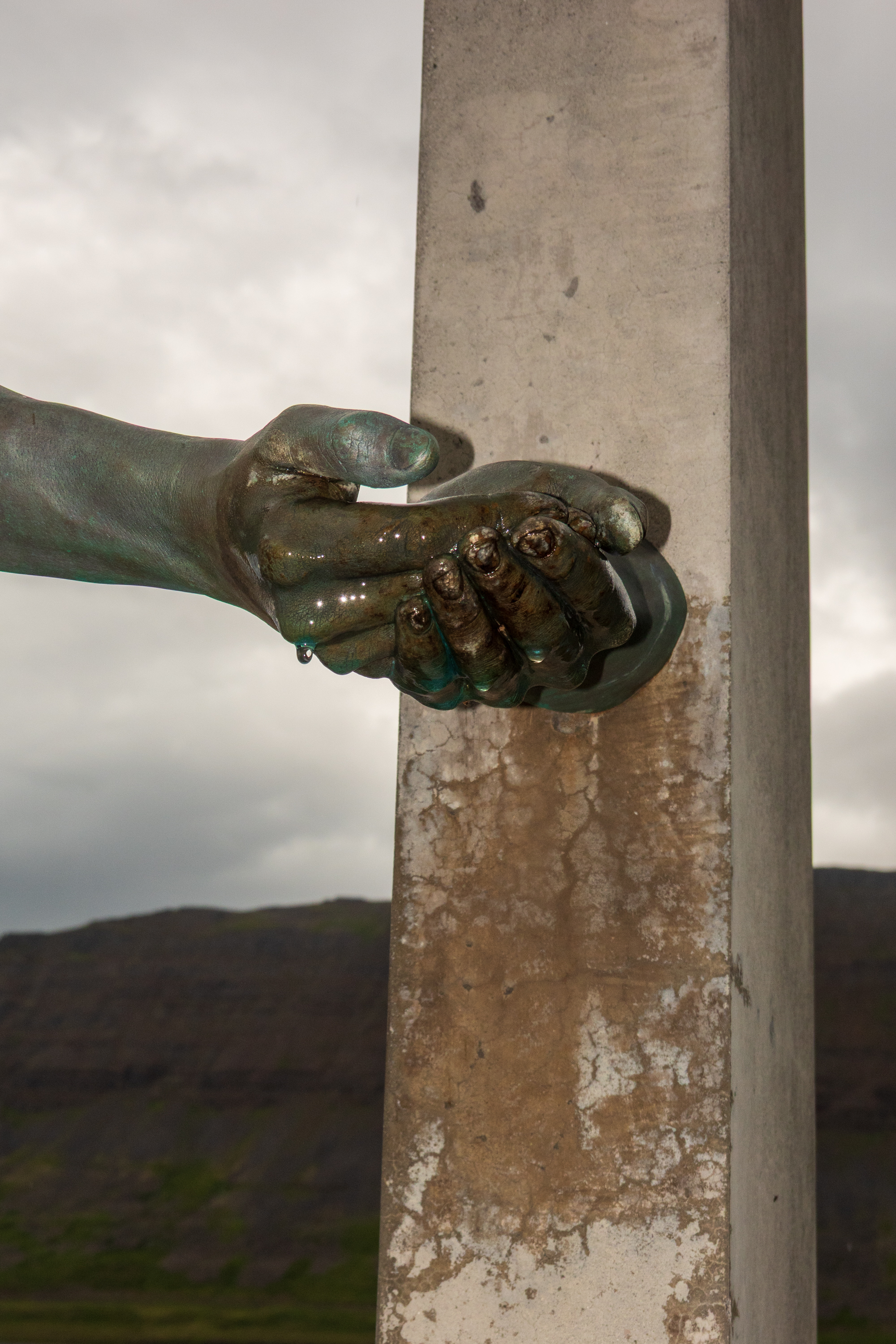
The sailors’ memorial features a fountain of hands.
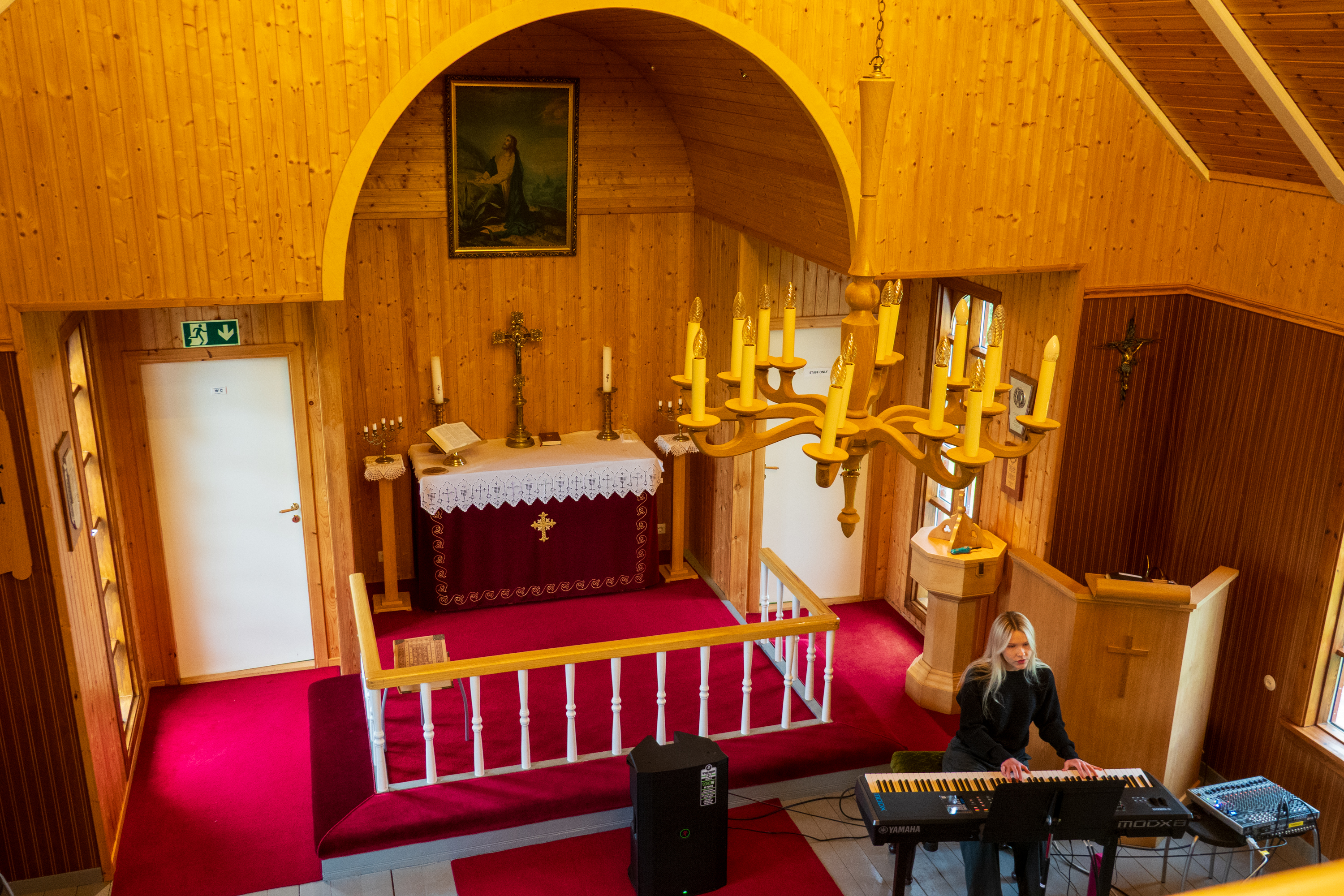
The interior of the church from the choir/bell tower.
Young lady performed Icelandic songs.
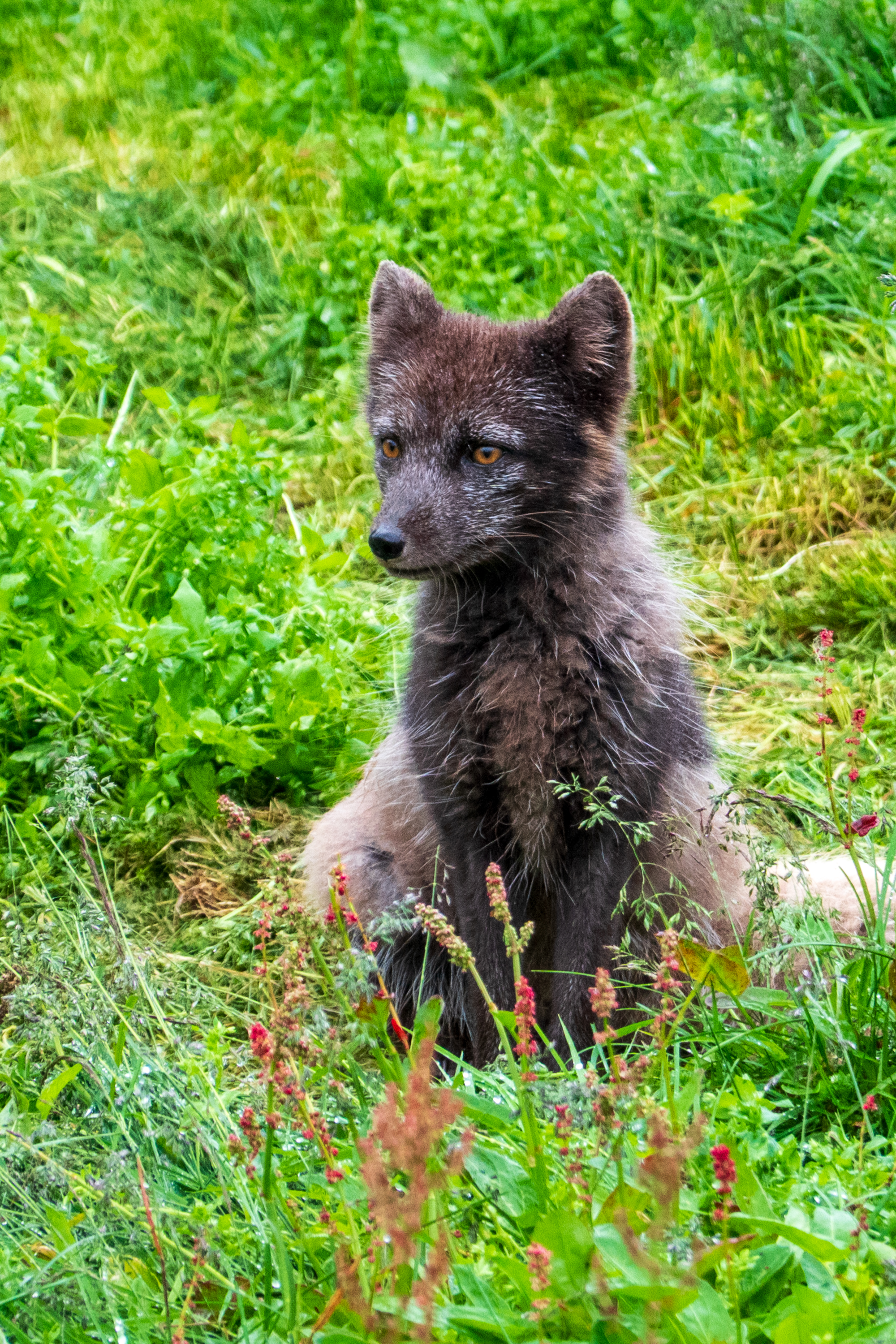
The arctic fox is the only native mammal in Iceland, living on birds, carrion, and, with the arrival of man, the odd sheep, goose, or chicken. These latter activities leading to their being hunted almost to extinction. We visited a small sanctuary where one, found as a cub, is being raised. They are quite small; hard to image them taking on a sheep.
Akureyri
Akureyri, or the capital of the north, was our next stop. Set at the end of the Eyjafjordur at the foot of the mountains, it was founded by Vikings in the ninth century and became a Danish trading post in the 17th century. It really felt like a town, with shops and a church, which still has stained glass windows from Coventry Cathedral which were relocated for safety during World War II.
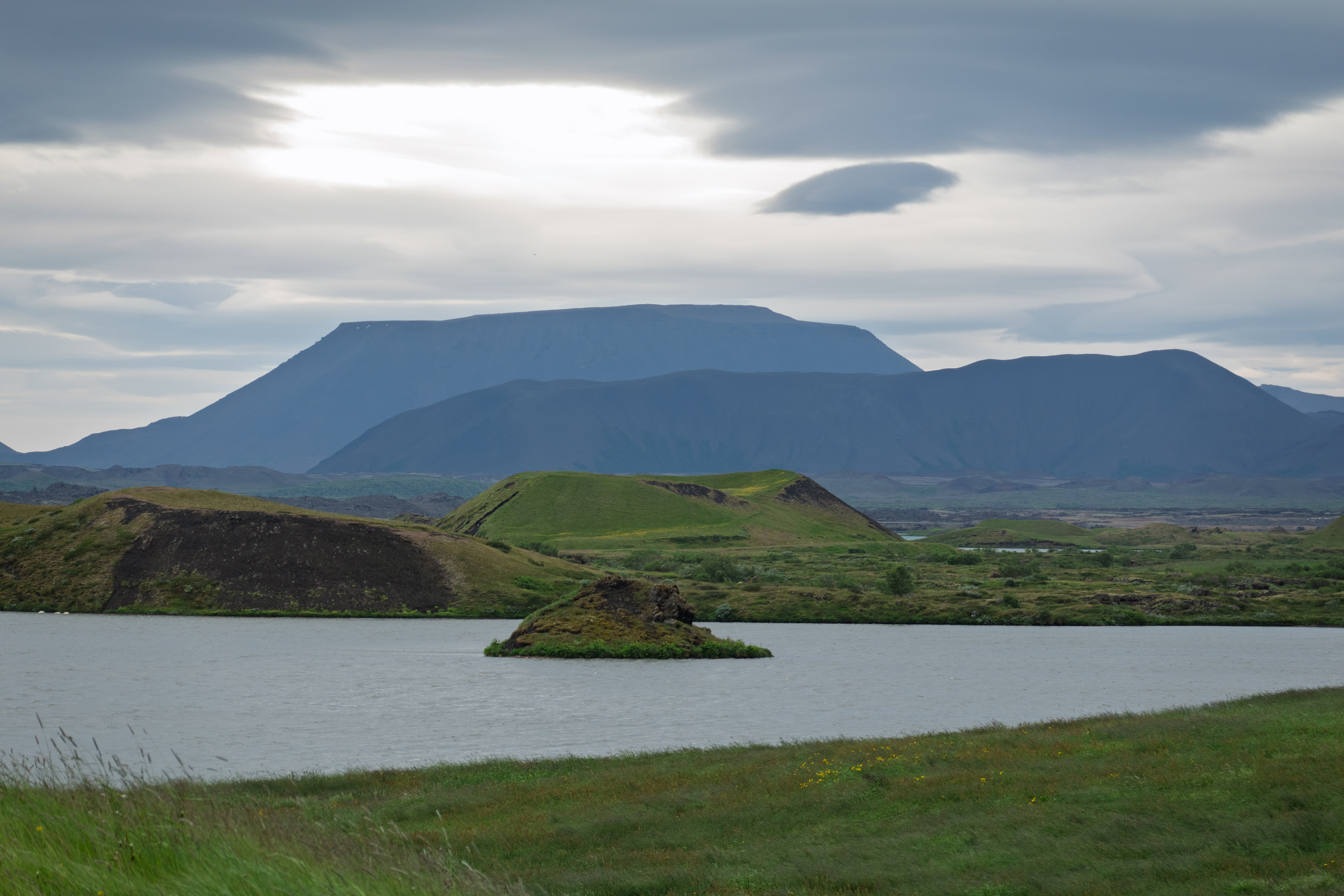
This was our day to see some scenery in the north of the country. We took a full day bus tour and started first at Lake Myvatn where we could see the lake views and the area of pseudo craters at Skutustadagigar. Pseudo craters were formed 2,300 years ago and are not true craters with a magma flow, but the result of hot, flowing lava crossing over wet, waterlogged wetlands. The lava traps the water and the heat turns it to steam. The resulting explosion forms a “fake” crater. Walking paths lead through it all and there is an interesting visitor center, which in addition to geology, discusses birds and, everyone’s favorites, two types of black flies. Hint: One bites.
Craters, lakes, and mountains
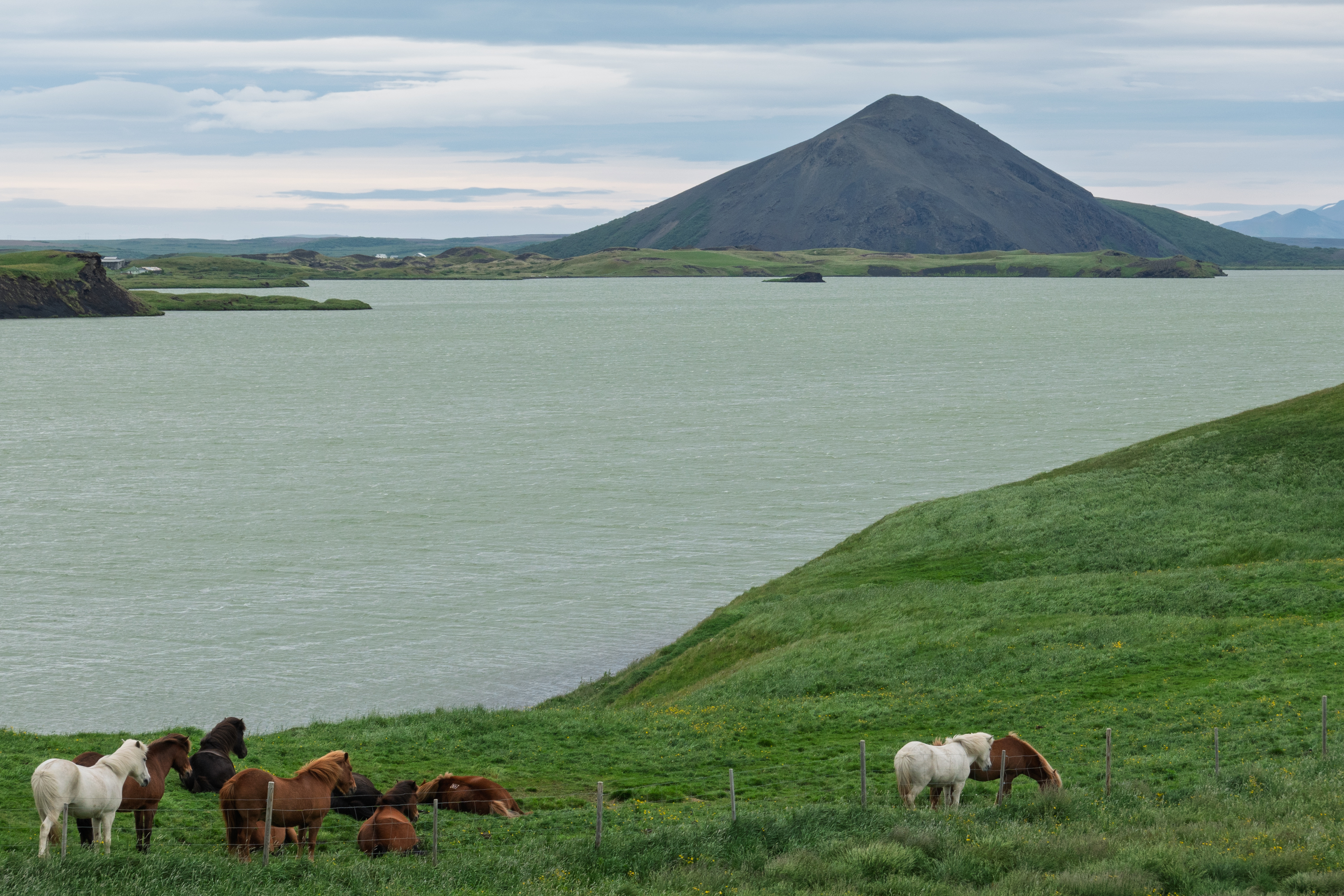
Icelandic horses
This was our first view of the diminutive Icelandic horses. (https://en.wikipedia.org/wiki/Icelandic_horse) The whole area is part of a large river delta and, as such, has more earth and thus more vegetation than other places.
We started by taking the easier trail up to one of the overlooks but then decided to take the second, harder trail to a second overlook for a better view.
Of course, the heavens then opened and we were quite wet when we got back on the bus.
The catwalks made parts easier, but much of it was closed for repairs and, for most of the way, it was just a rocky path.
We stopped for a great lunch of soup and salmon. Fred’s favorite, not! But even he admitted that it was very good.
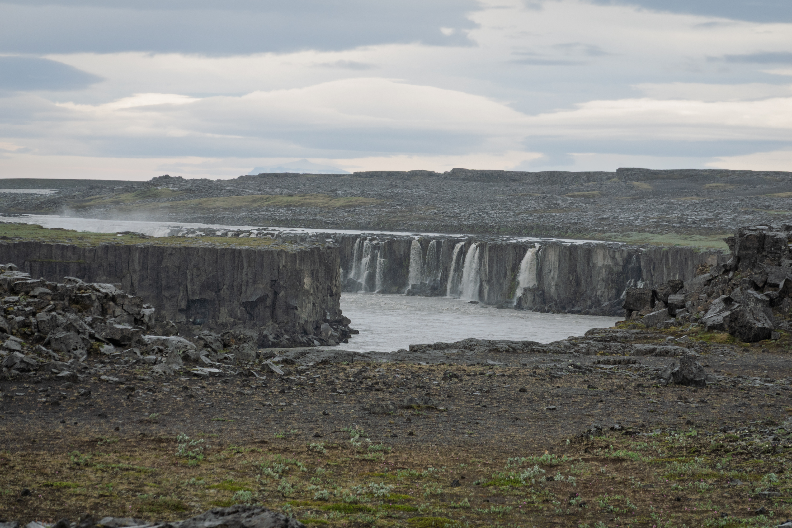
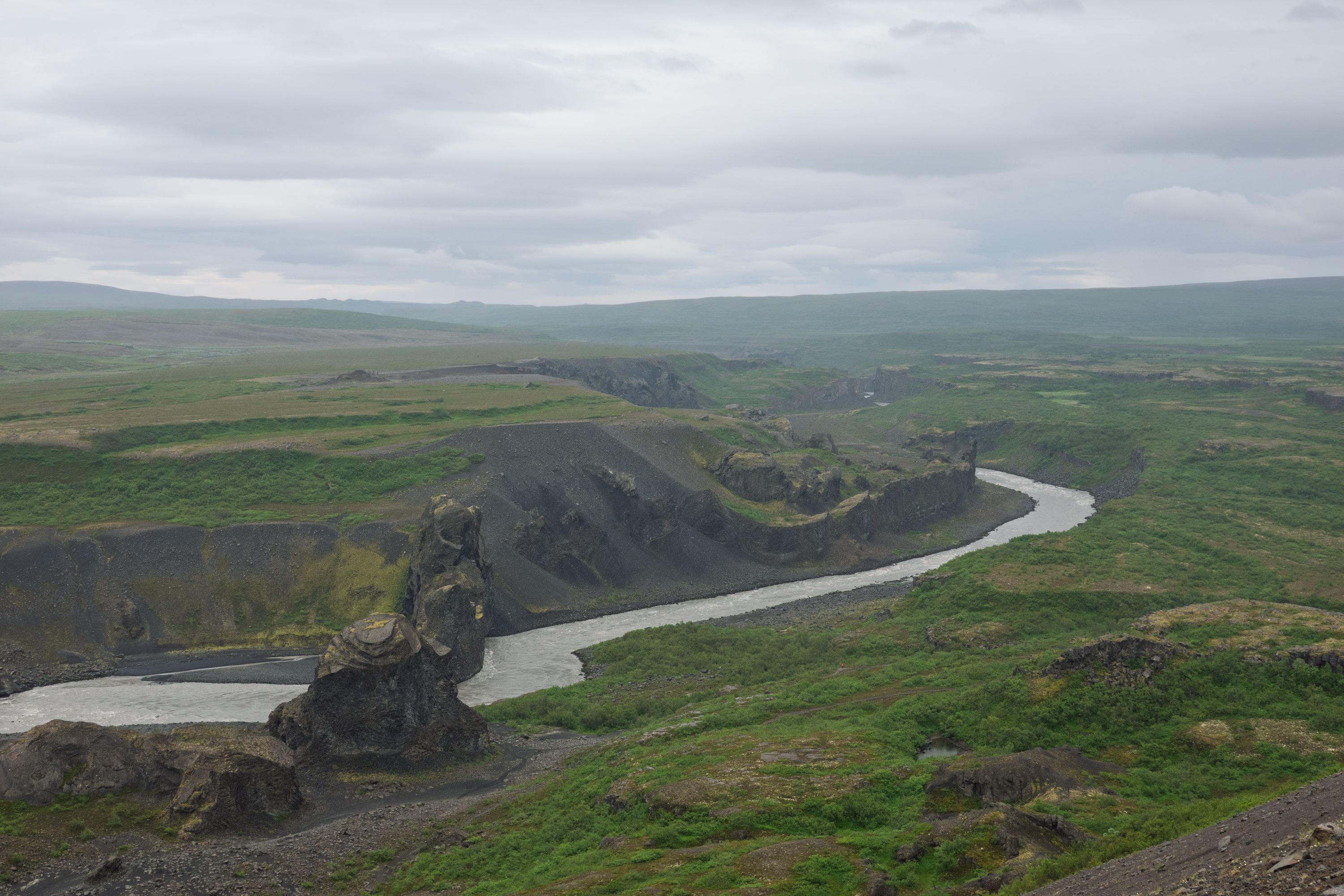
On the way to Husavik, we stopped at an overlook to admire the river below the falls. Hljóðaklettar, and no, we can’t pronounce it either!
We then moved on to Husavik, an important fishing port and a major tourist center. There are lots of whales in these waters and Husavik is a whale watching boat center. It was almost not raining here, quite a shock!
Tired and soggy, we rode back to the ship.
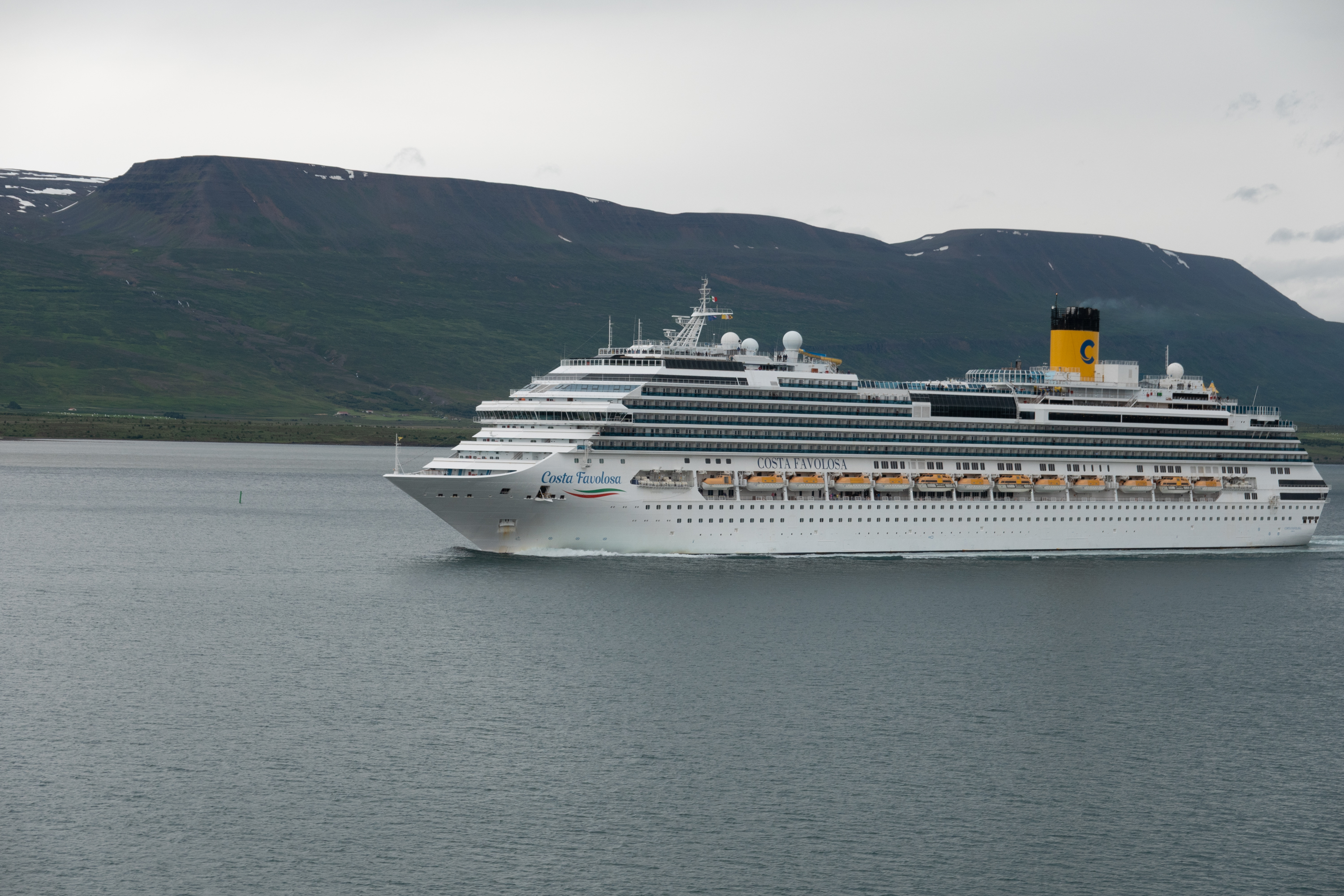
As we sailed away, we noted the two extremes of tourist vessels that we had encountered, the small “expedition” ships and the monster, mass market ships. (Guess 150 to 250 passengers per life boat/tender.)
Husavik
Sailing into Akureyri. We, fortunately, were sailing out!
Seydisfjordur
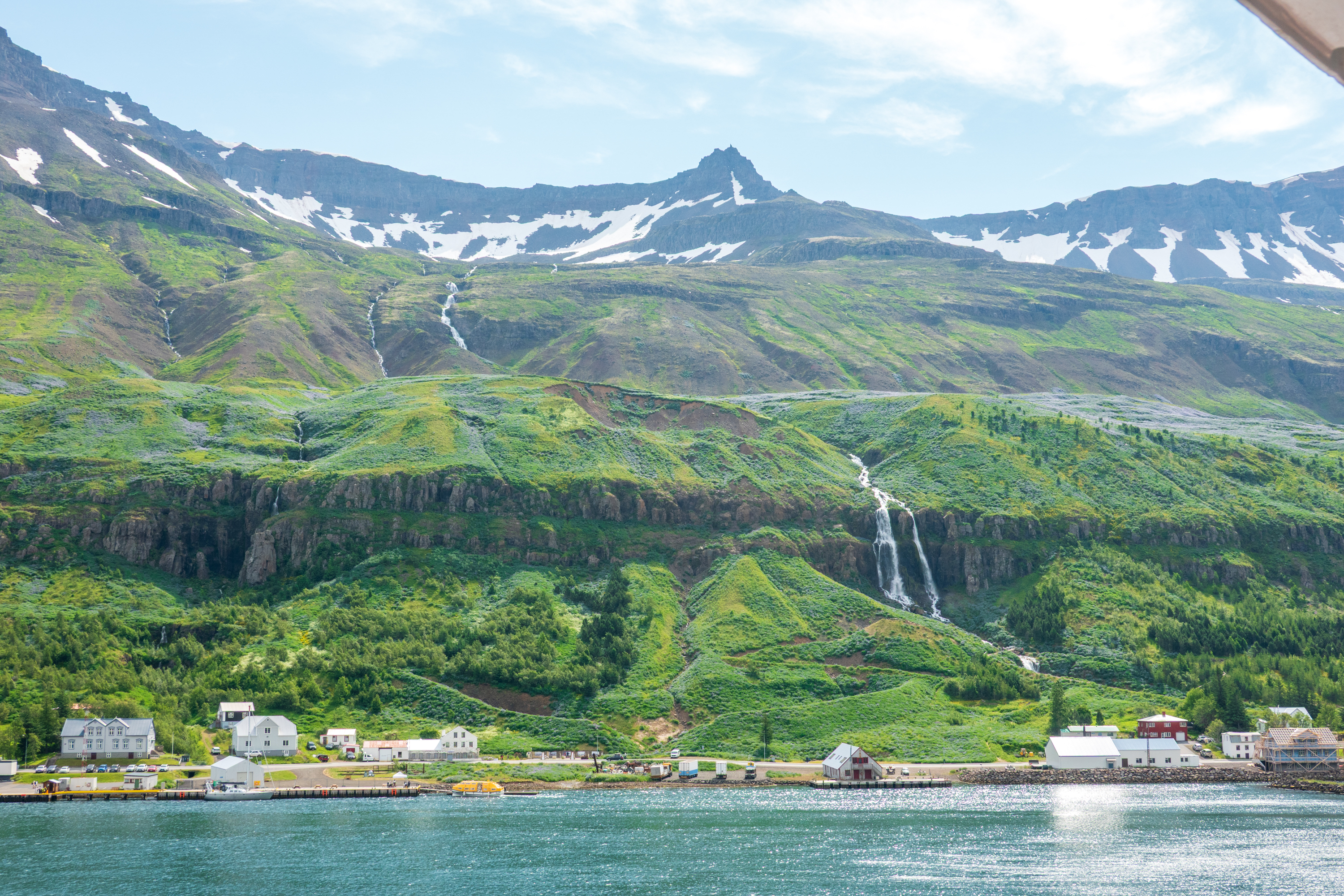
And on to Seydisfjordur on the eastern side of Iceland. To our amazement we actually saw the sun here! And in fact the town broke its heat record during the afternoon, so they thought we were great visitors. The sidewalk cafes, yes, they have them, were heaving – and not just with tourists!
The town was quite small but very vibrant. This is where the ferry from Denmark docks twice a week. Fred was fascinated to see all the campers starting to arrive a the ferry was due the next day. The town was founded, as usual, by Vikings and settled by Norwegian fishermen and merchants in 1848. It had the first telegraph cable linking Iceland to Europe and hosted the world’s first whaling station.
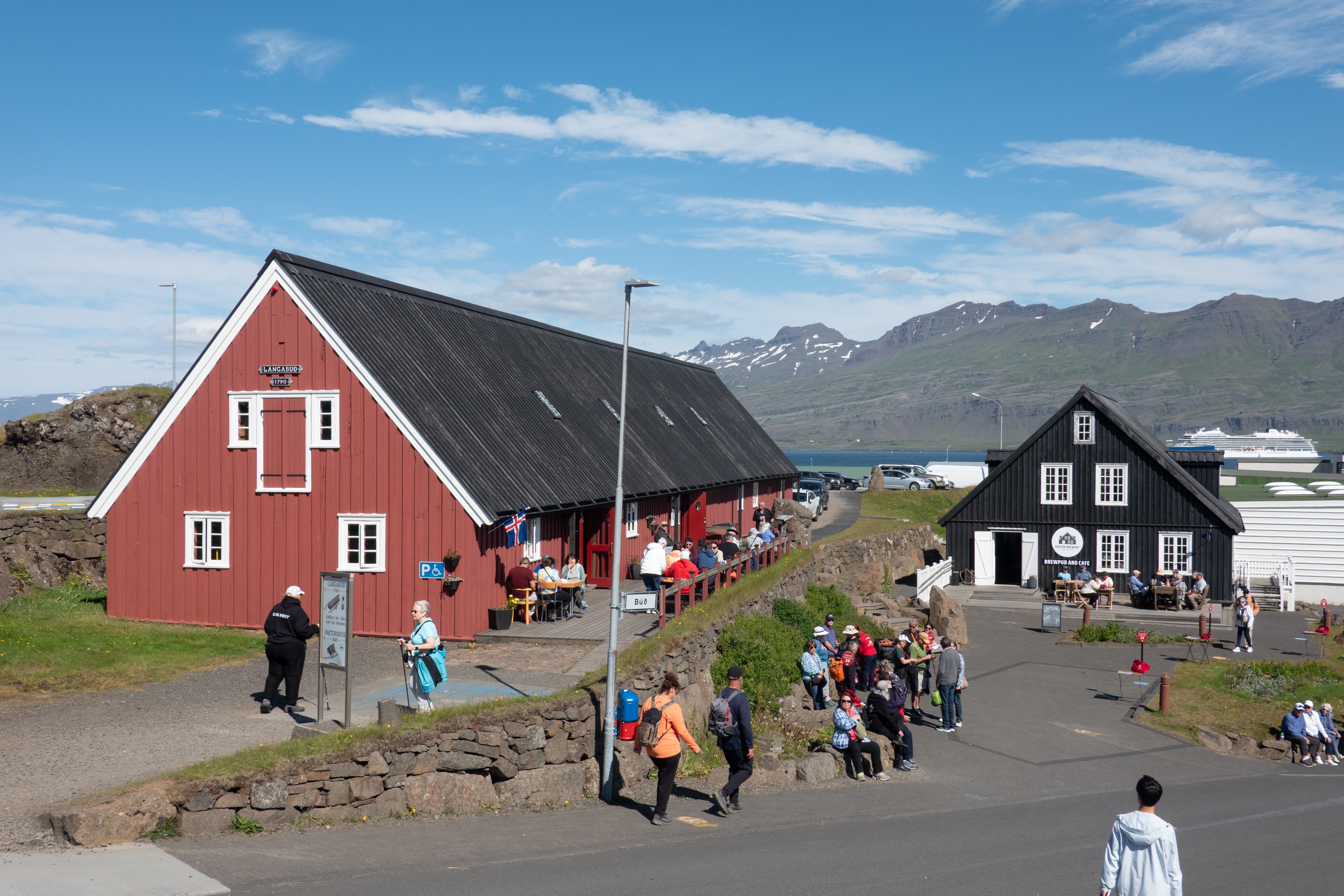
A few old wooden houses and the odd US military Quonset huts remained and were still in use.
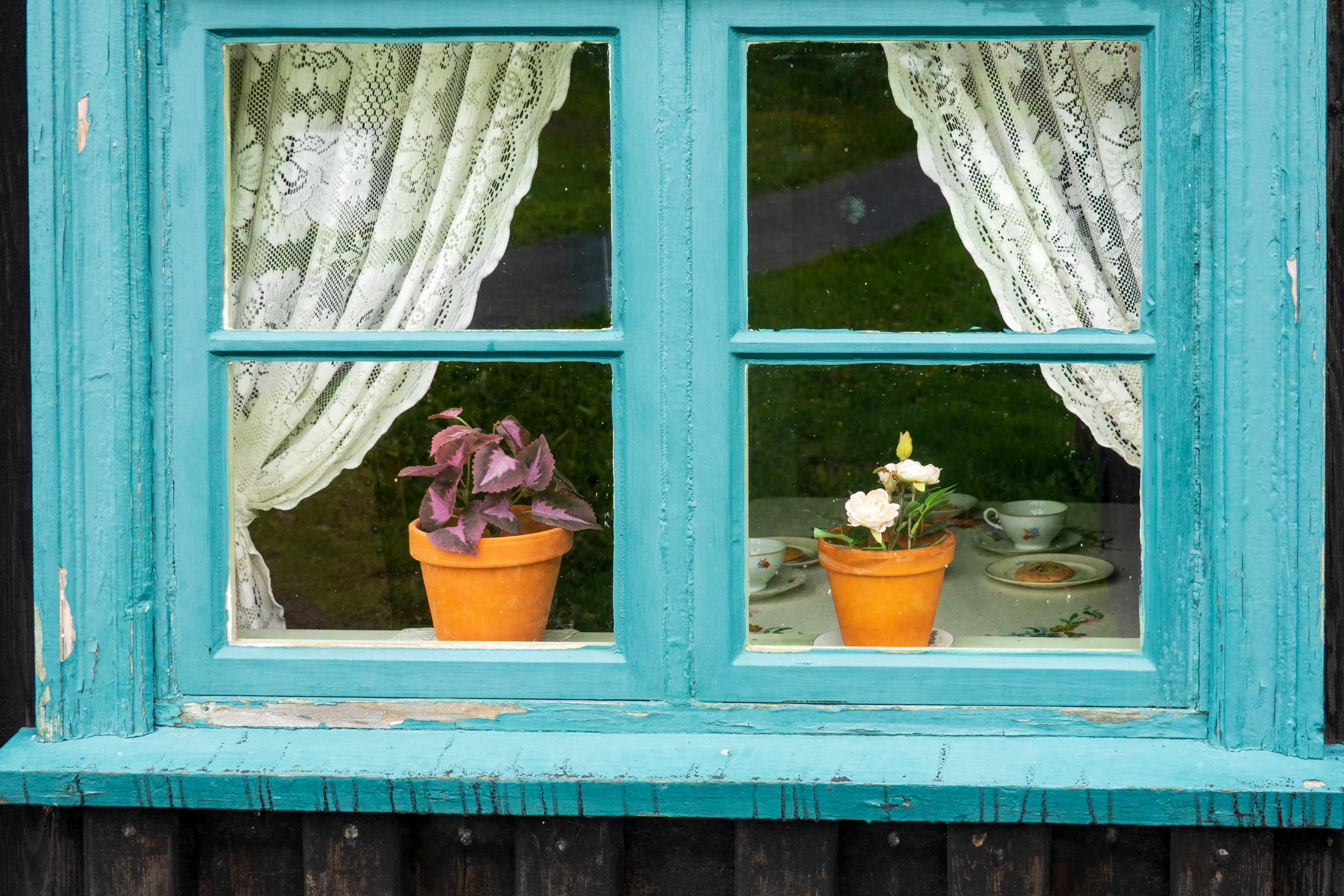
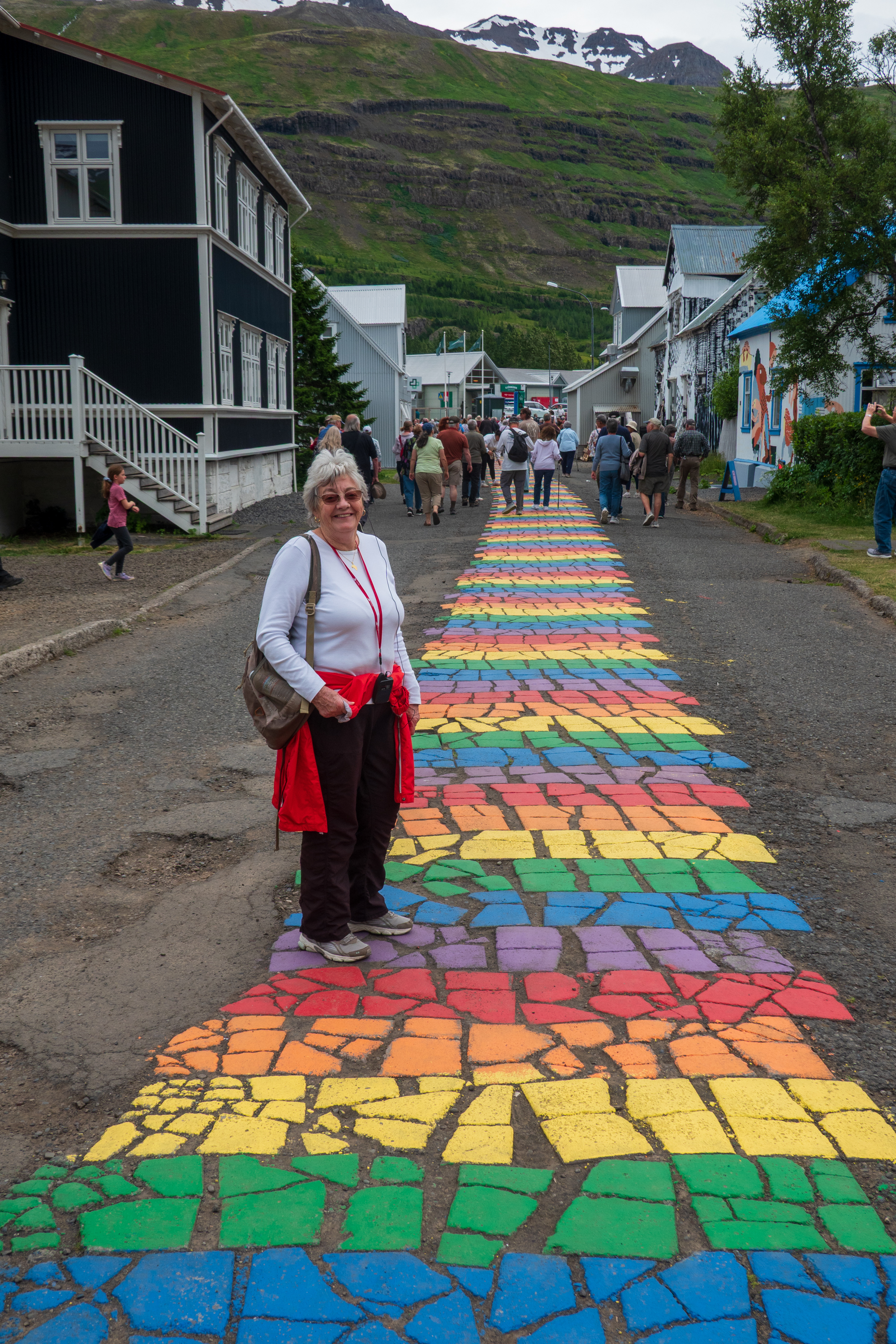
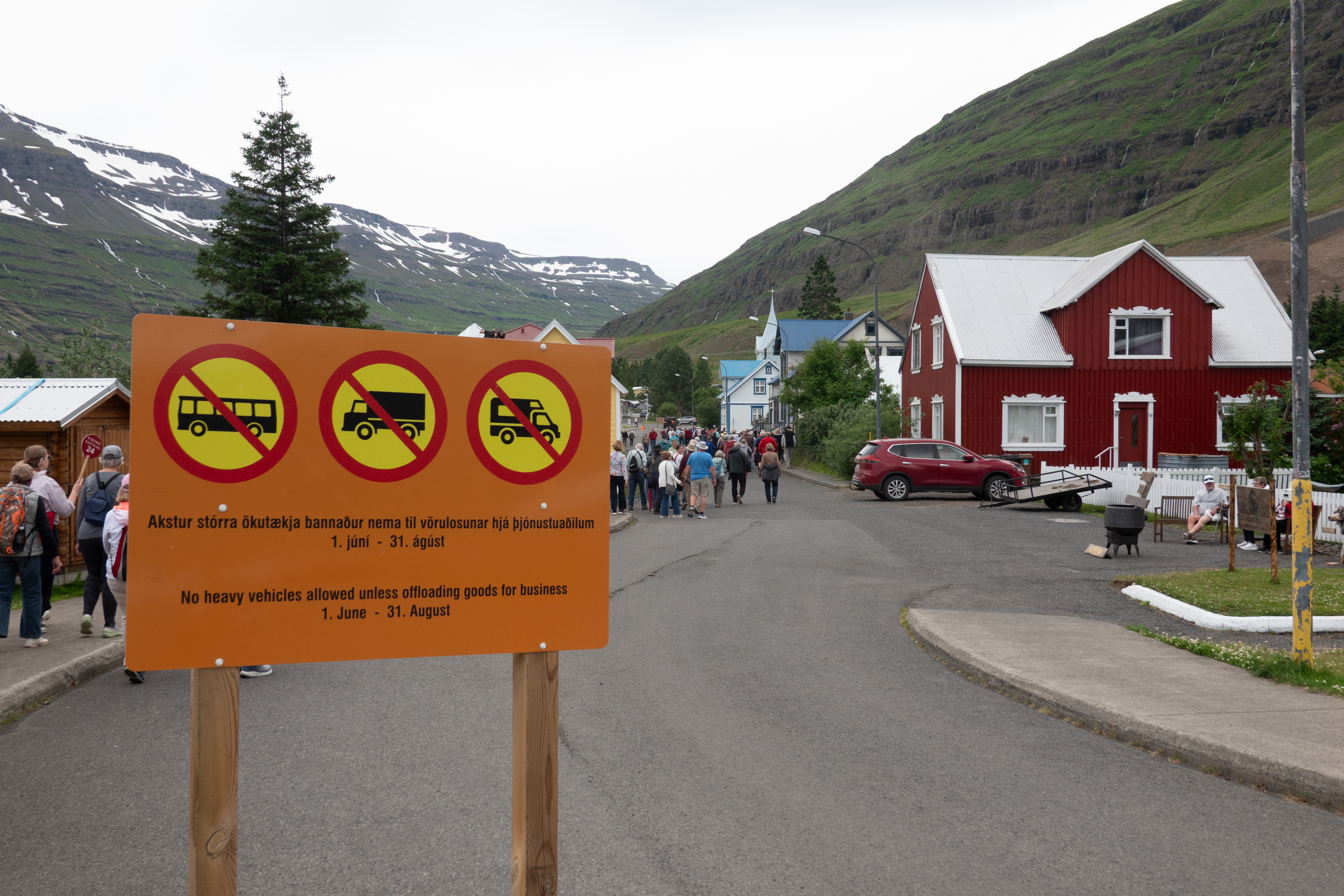
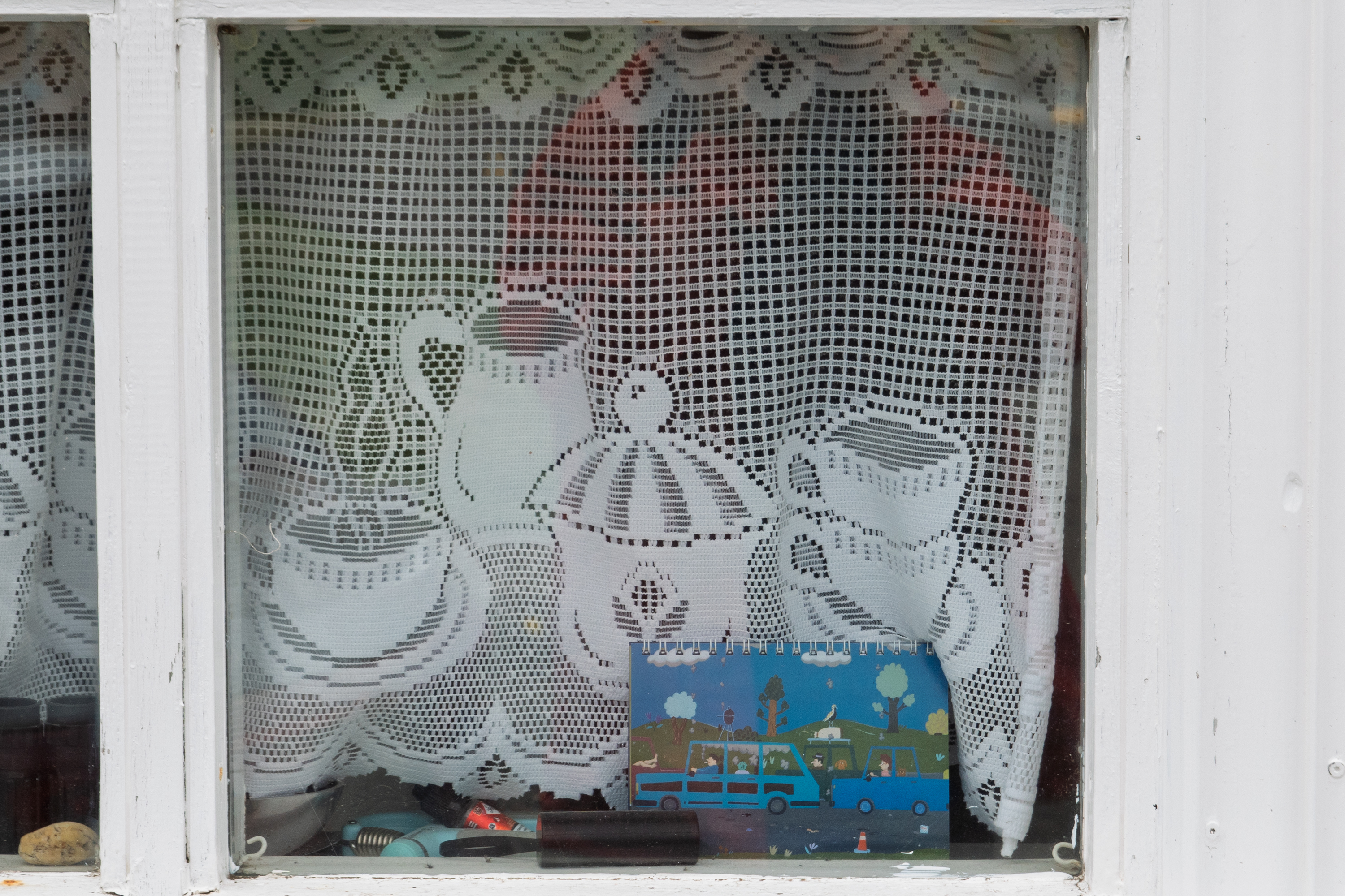
Denise admires the Pride walkNo busses, trucks, or campers allowed.Lace curtains at a cafe.
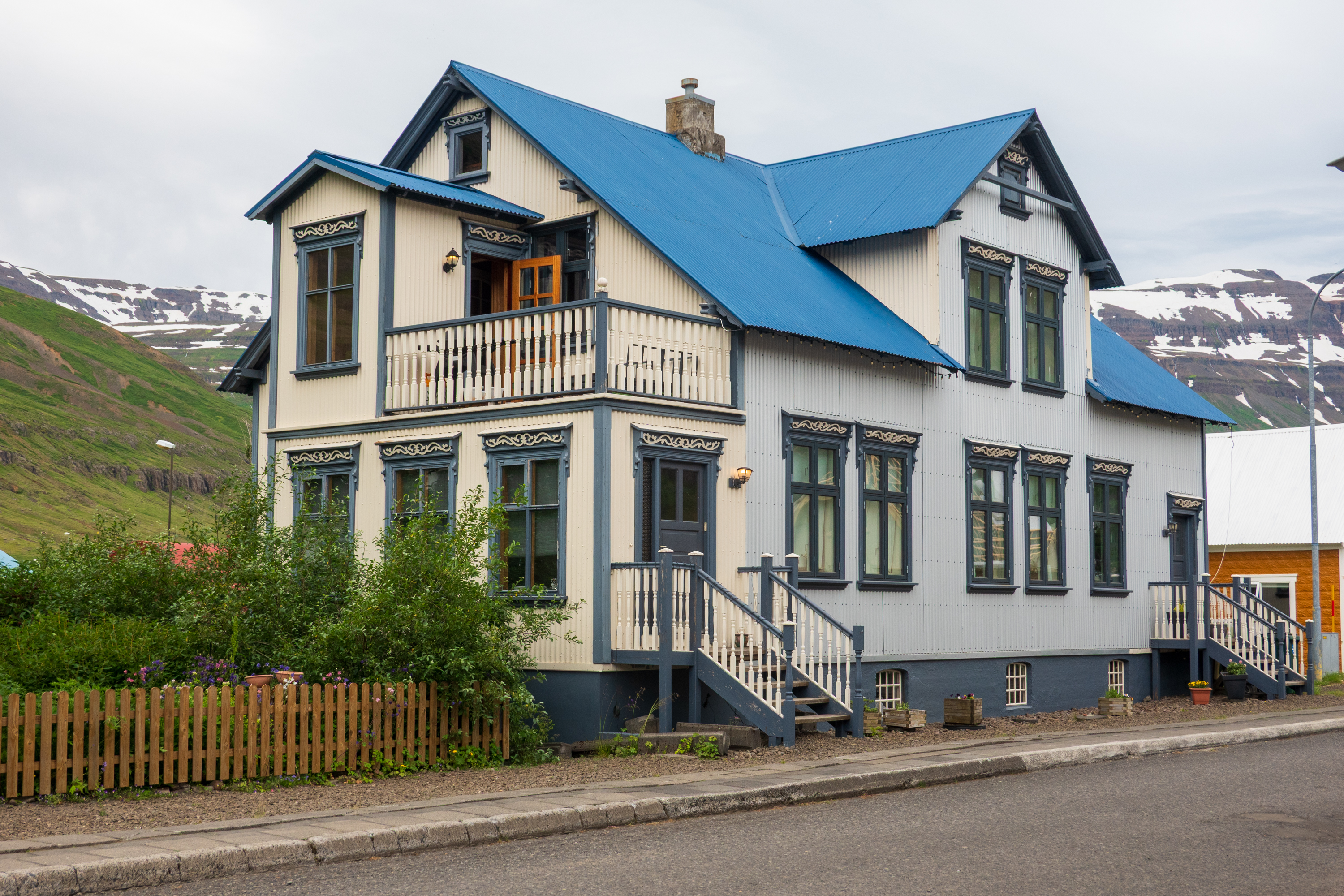
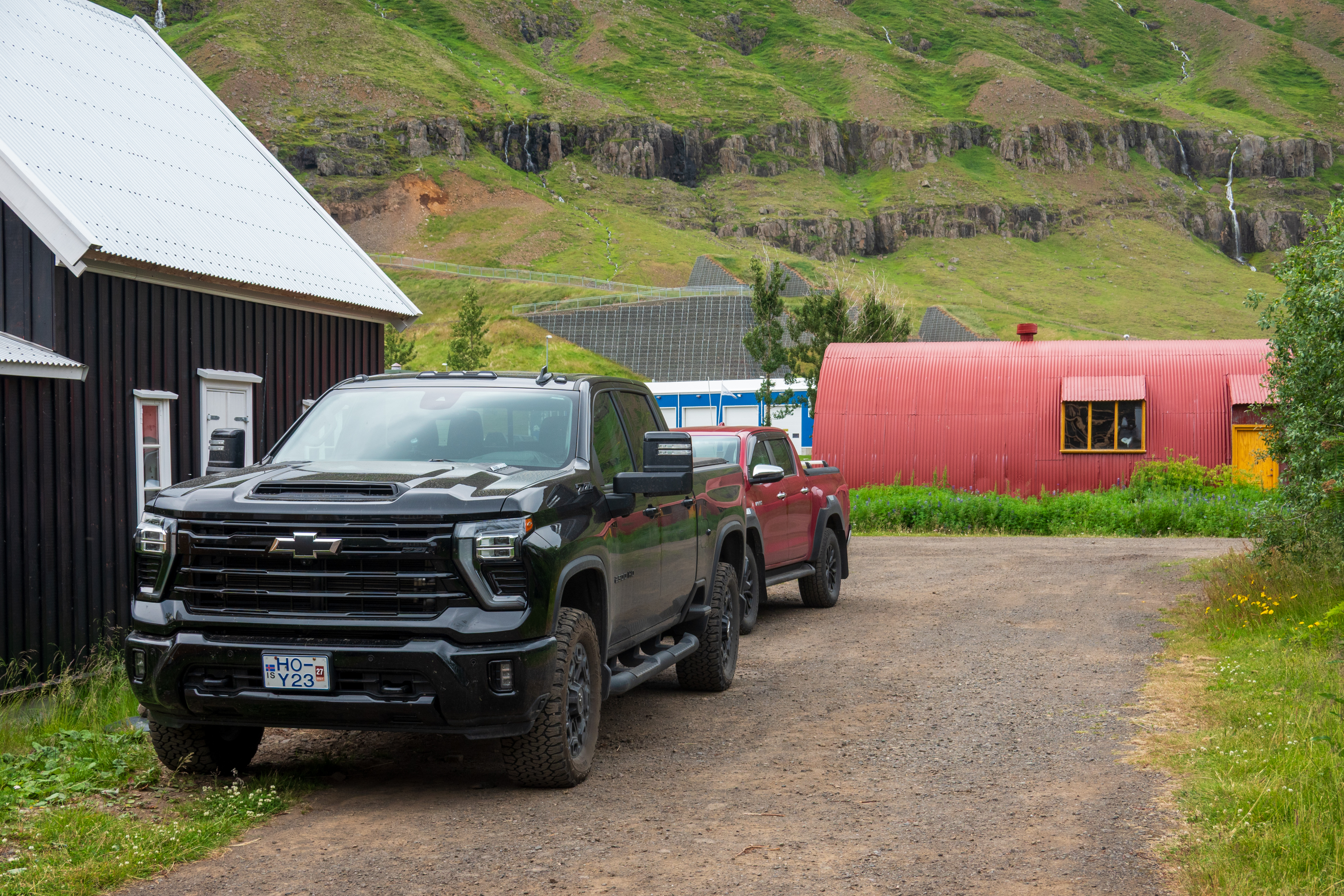
When you remember that all of the timber had to be imported from Denmark, you realize how expensive this house would have been. And why it is preserved – you STILL have to import the wood.‘murican imperialism: a Chevy by the levee and a Quonset hut. Many more US pickup trucks in Iceland than elsewhere in Europe.
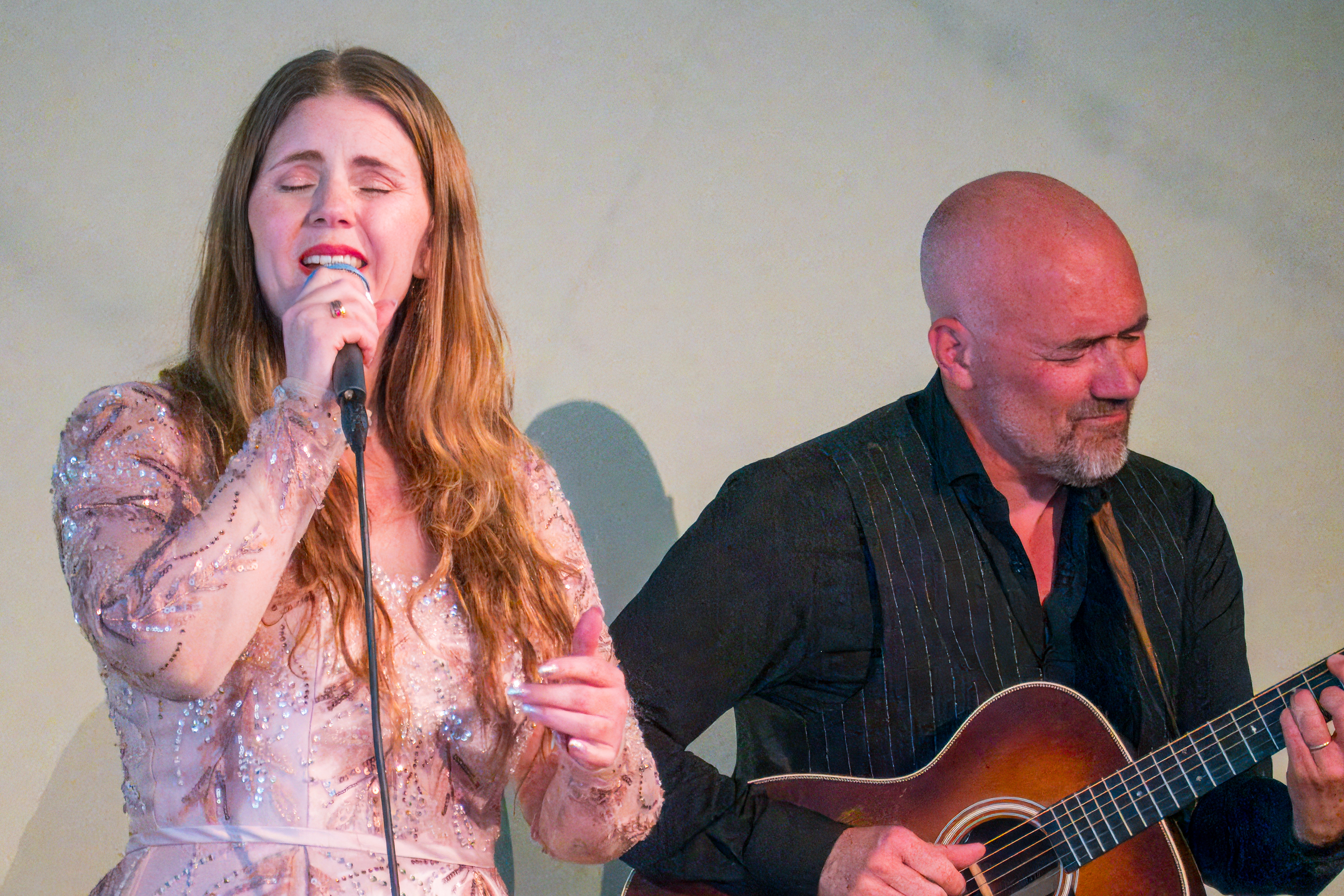
We wandered the town and then enjoyed a short musical performance by a local duo and a selection of local foods was offered.
They were really quite good and the guitarist was delighted to have purchased a nice Martin on a recent trip to Nashville.
Djupivogur
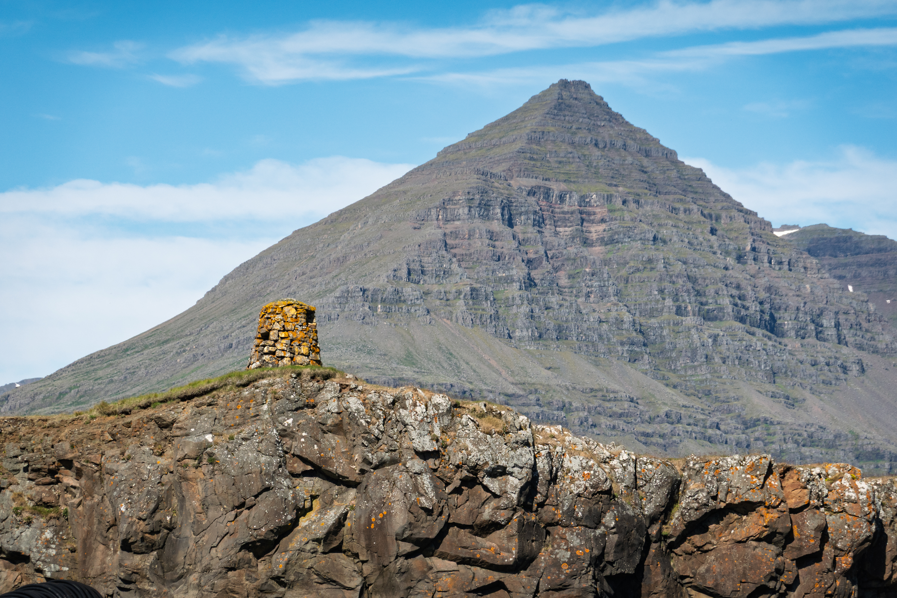
Djupivogur, population 472, our next stop, had been a trading center since the sixteenth century. It sits under the towering Bulandstindur, a mountain famed locally for its ability to grant wishes during the summer solstice. Today it ships a lot of salted cod (bacalao) to Portugal.
Mountain looked very like a tremendous pyramid
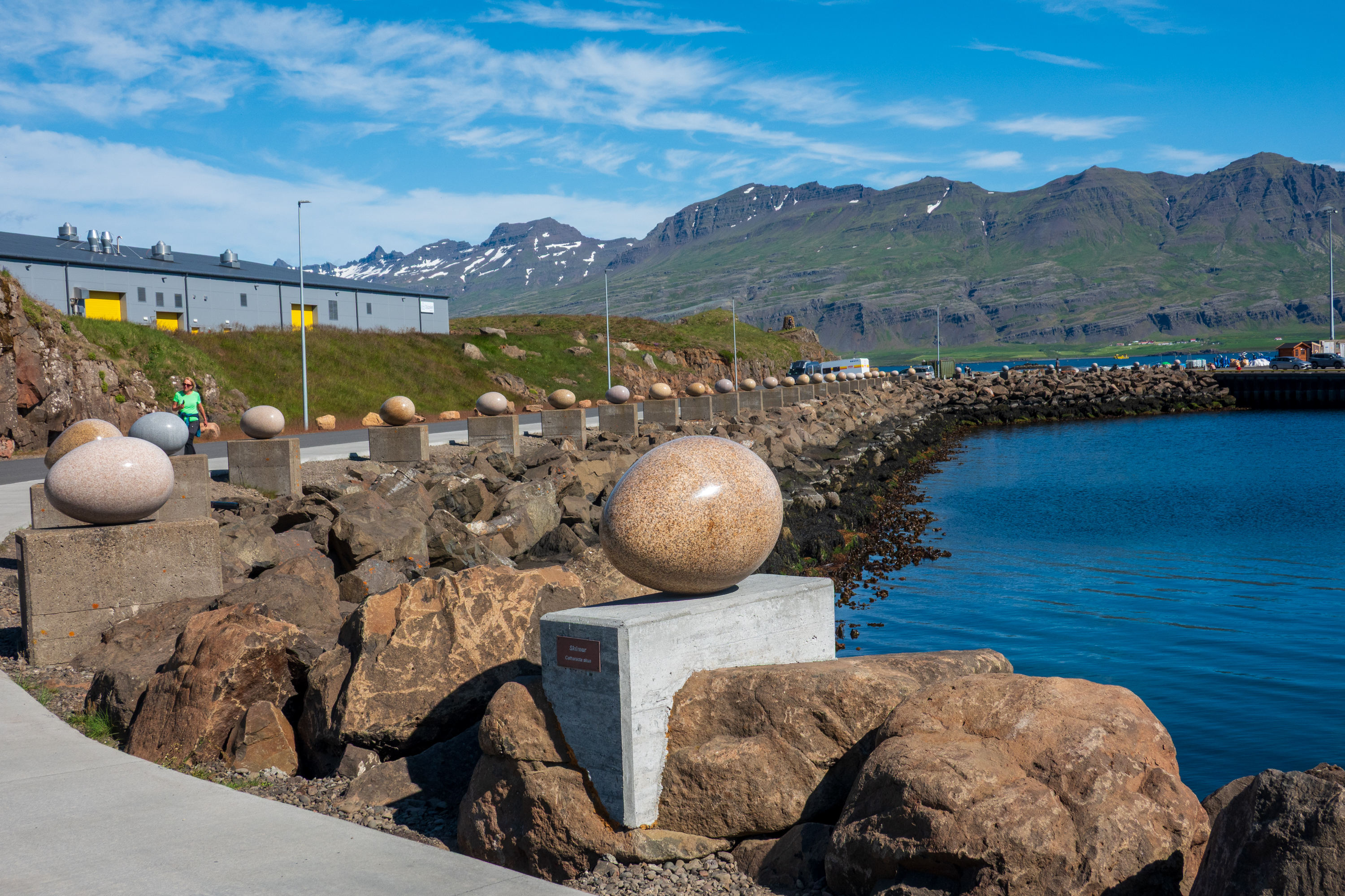
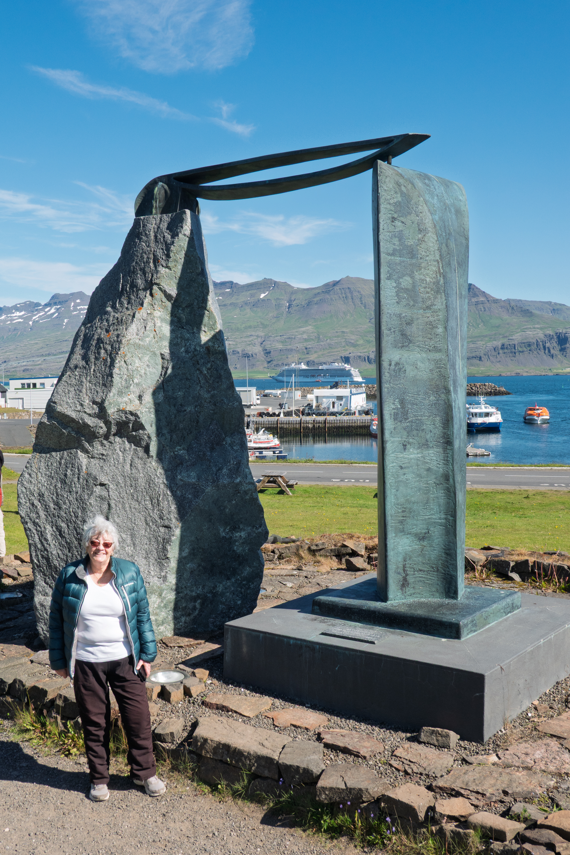
We missed the solstice but our wishes for a dry, sunny day were granted. We walked through town and went to see the Eggs of Merry Bay. An outside artwork by the popular Icelandic visual artist, Sigurður Guðmundsson, called Eggin í Gleðivík. (Eggs at Merry Bay) It consists of 34 huge granite eggs, which represent the eggs of each of the nesting birds in this area, many of which are migrating birds, flying over to Iceland from far away to lay their eggs in Iceland. Amazingly, the granite is from China, where the artist lives for part of each year.
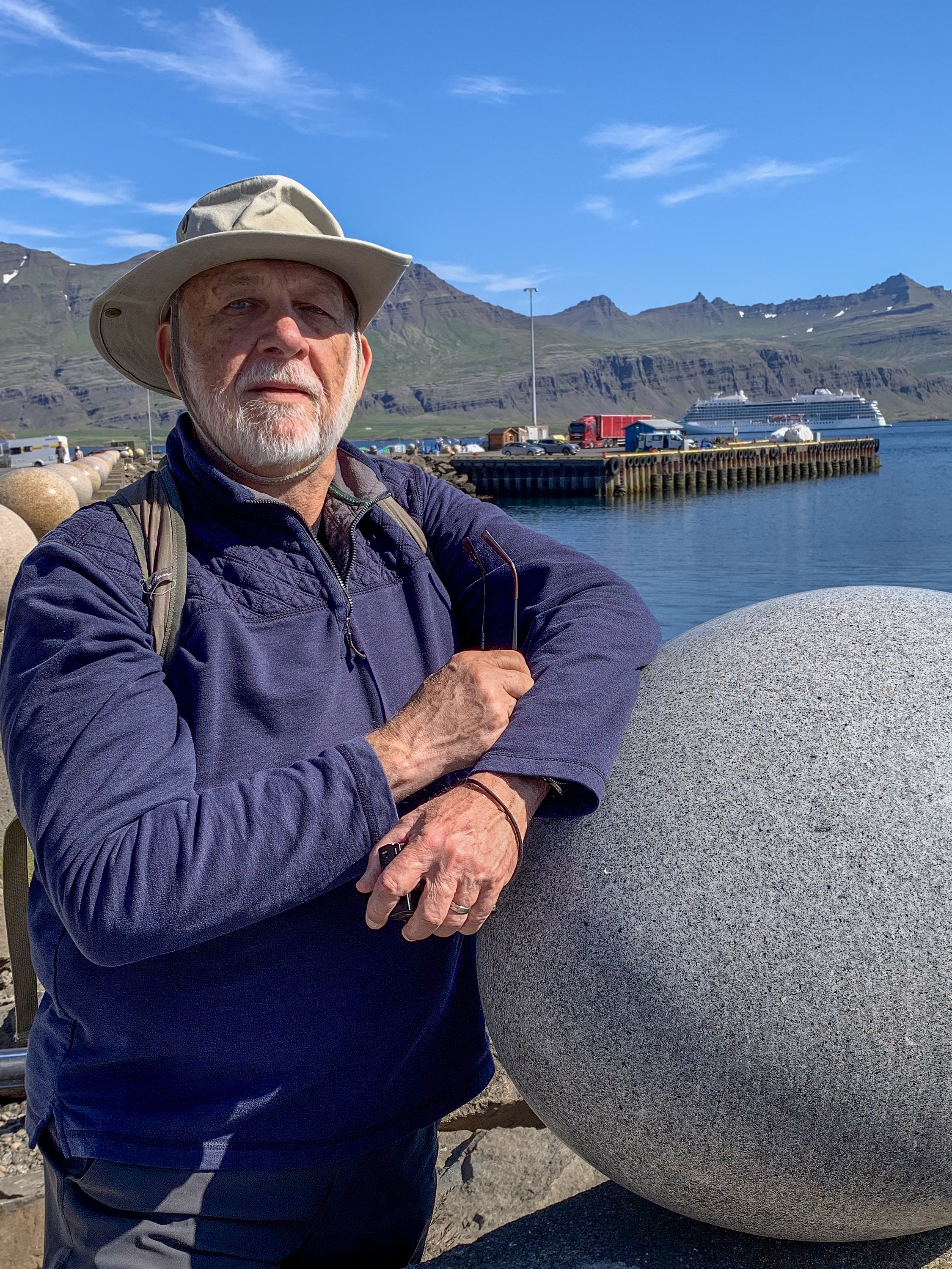
Fred and an egg
A long row of eggs
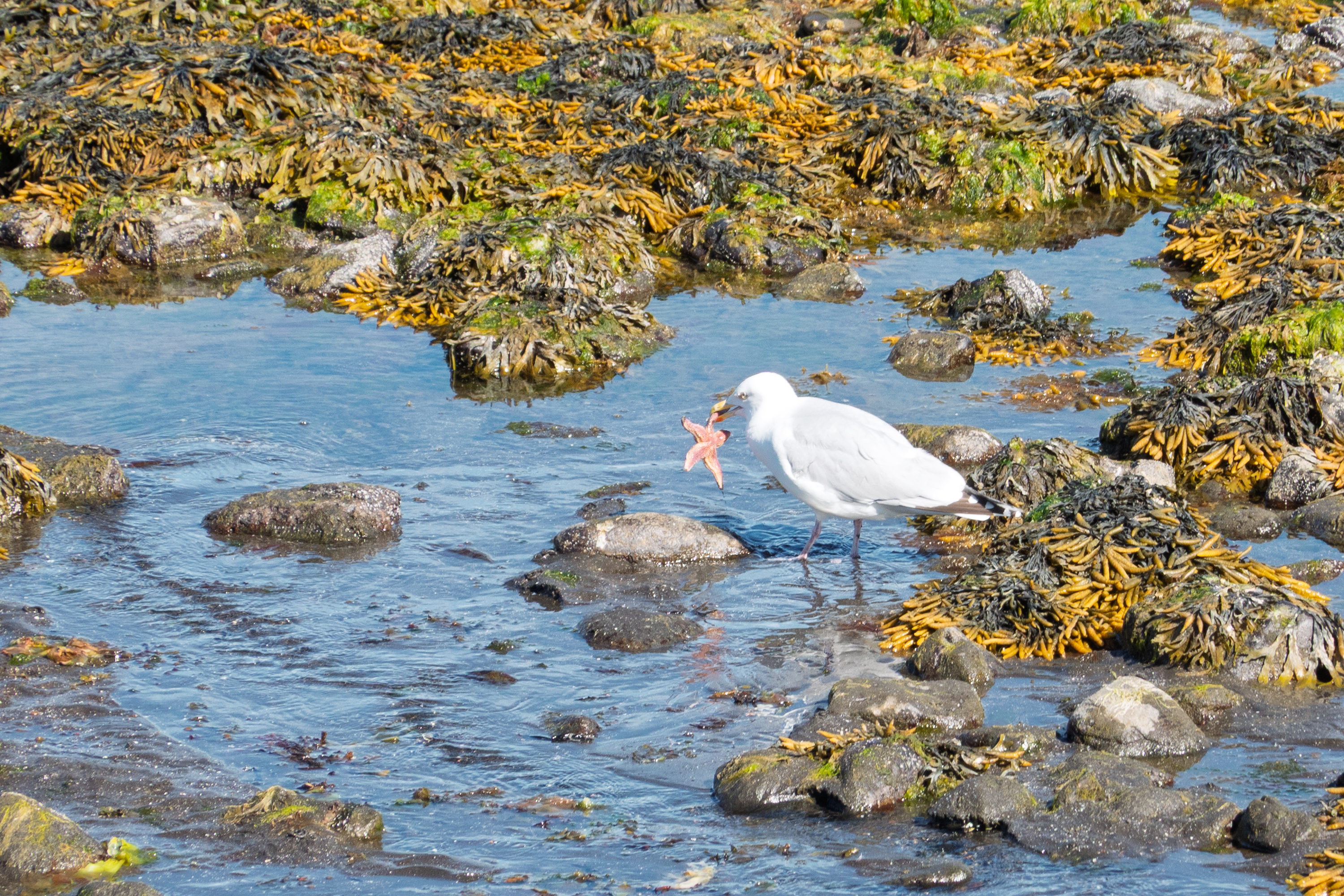
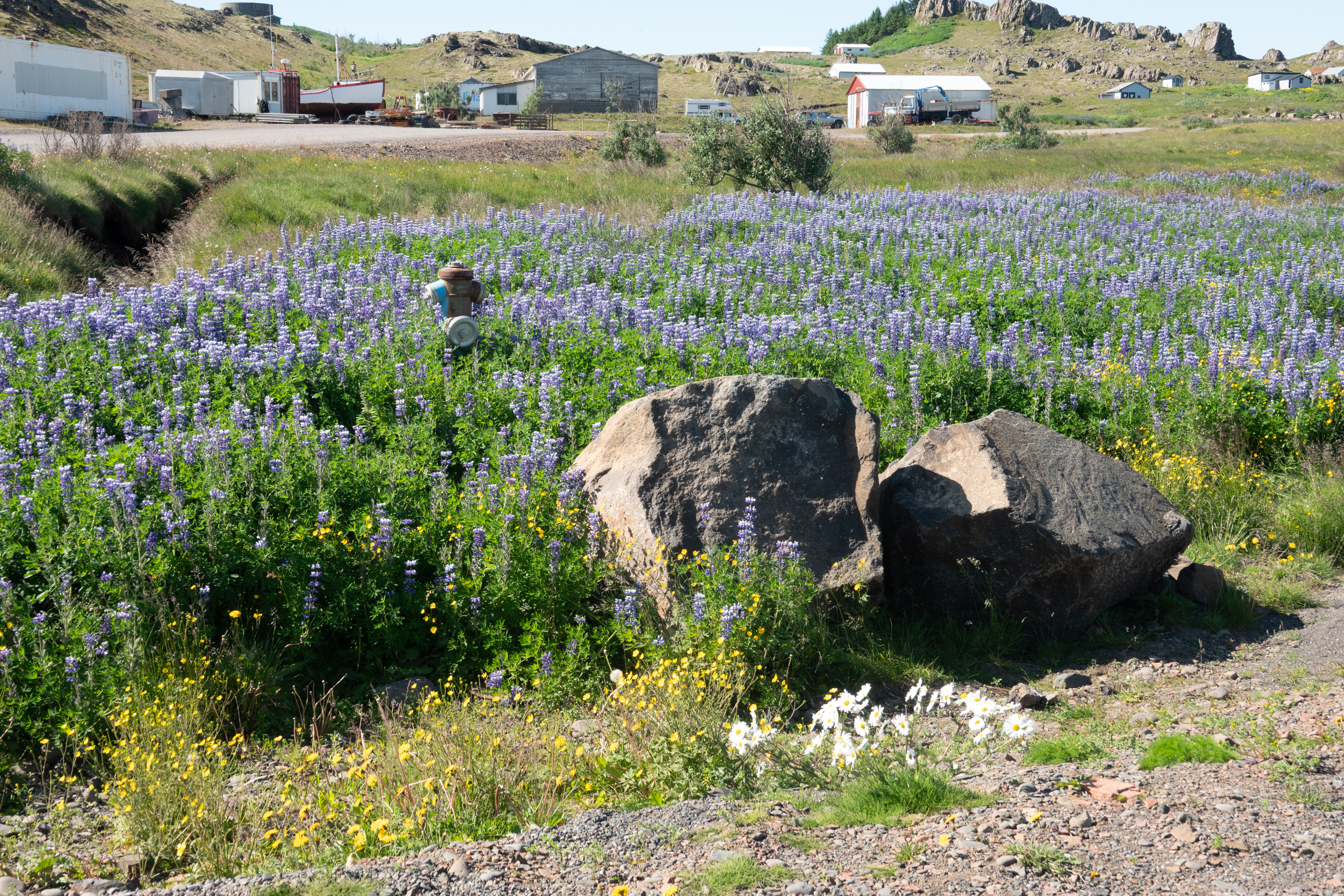
A starfish for lunchIceland’s famous Alaska lupins
But is it art?
The town is very small and really quite industrial, but, with the sun out at last, it was simply magical. Crowds of people flocking to the tourist shops, cultural center, and hot dog and ice cream stands.
The weather really affects your impressions of a place! Suddenly the little rental summer houses actually looked attractive.
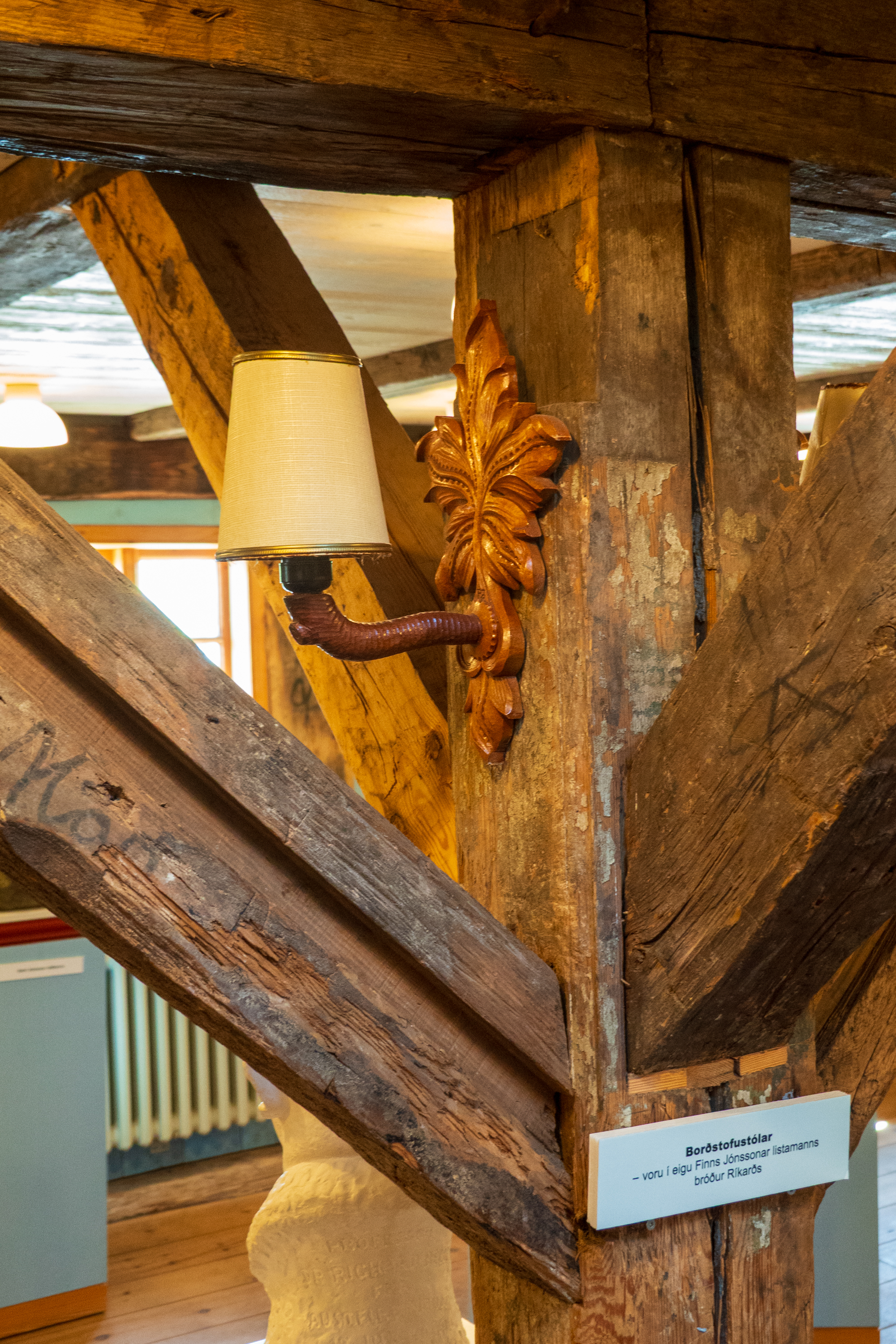
Cultural center/musem, building built by the Danes in 1790
Heimaey
Our final stop on the cruise was the island of Heimaey. It lies off the south coast of Iceland and is 3 km by 12 km long. (https://en.wikipedia.org/wiki/Heimaey)
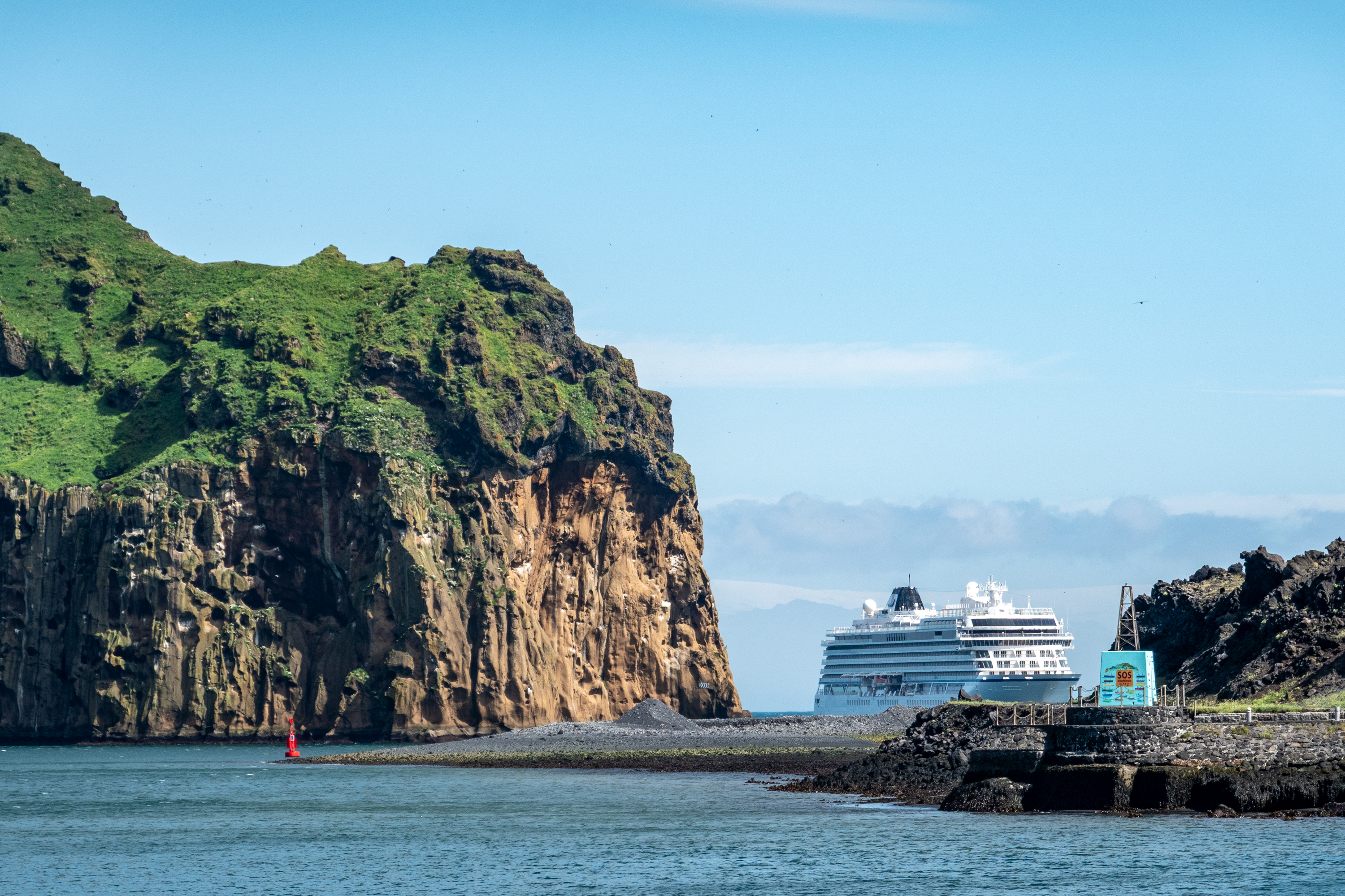
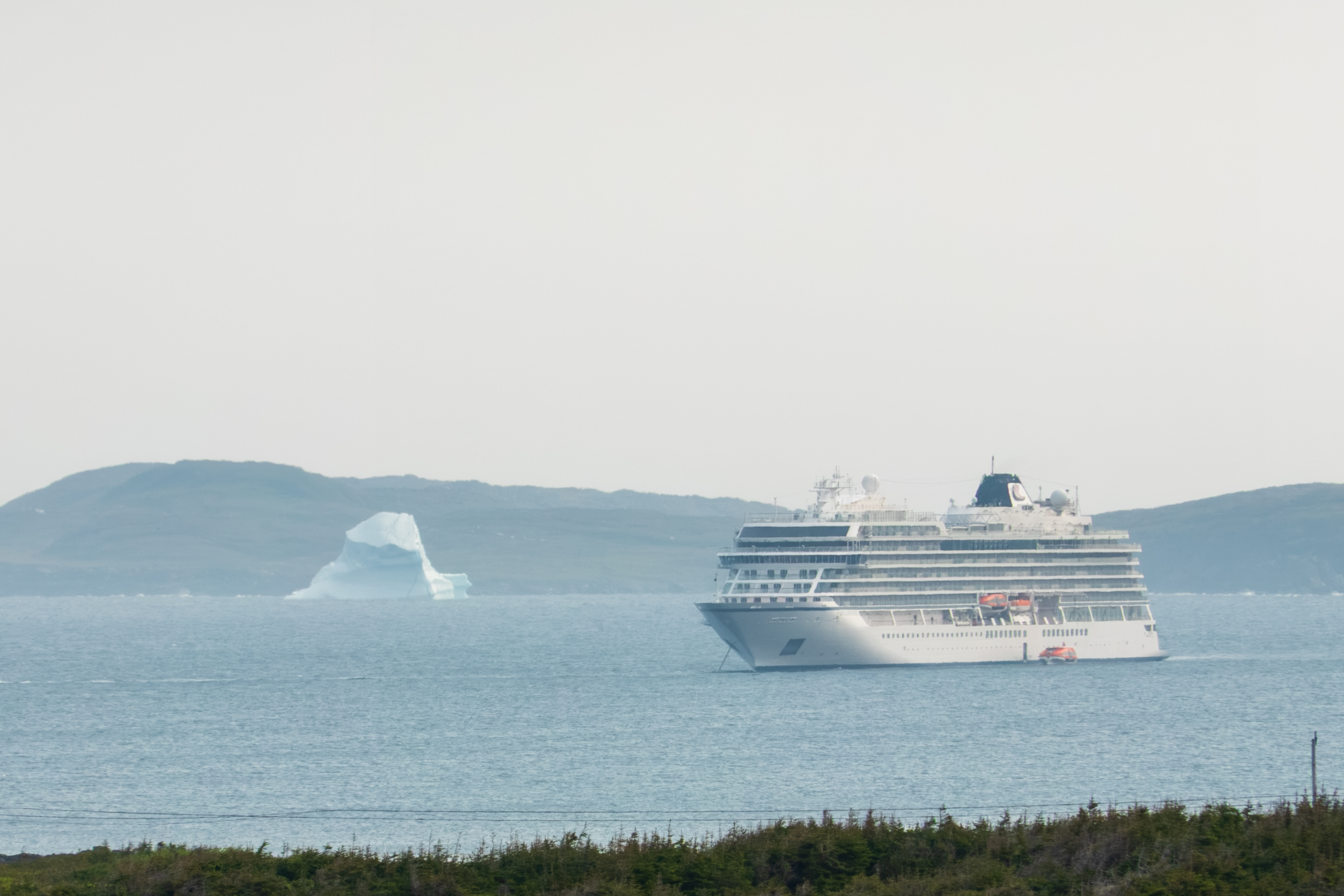
Viking Neptune at the entrance to the harbor. Not anchored, they kept station the whole time we were ashore.
Heimaey is the only inhabited island in Iceland’s Westman Islands, known for its sea cliffs, puffins, and volcanic history. From Viking settlers to the shocking 1627 pirate raid by Barbary pirates, Heimaey has a rich past. (https://en.wikipedia.org/wiki/Turkish_Abductions) As an aside, it is an article of faith among many Euro/American writers that the North African pirates were poor sailors. This is clearly not true.
In 1973, a sudden eruption of the Eldfell volcano reshaped the island and forced a full evacuation. There is a daily ferry to the mainland which runs as much of the year as is possible. Like all of Iceland, fishing is important and in summer, Heimaey’s cliffs become nesting grounds for millions of seabirds, including puffins. There is a sea life rescue organization on Heimaey. We stopped in, but could not see the whales. (https://belugasanctuary.sealifetrust.org/en/)
Click to zoom in!
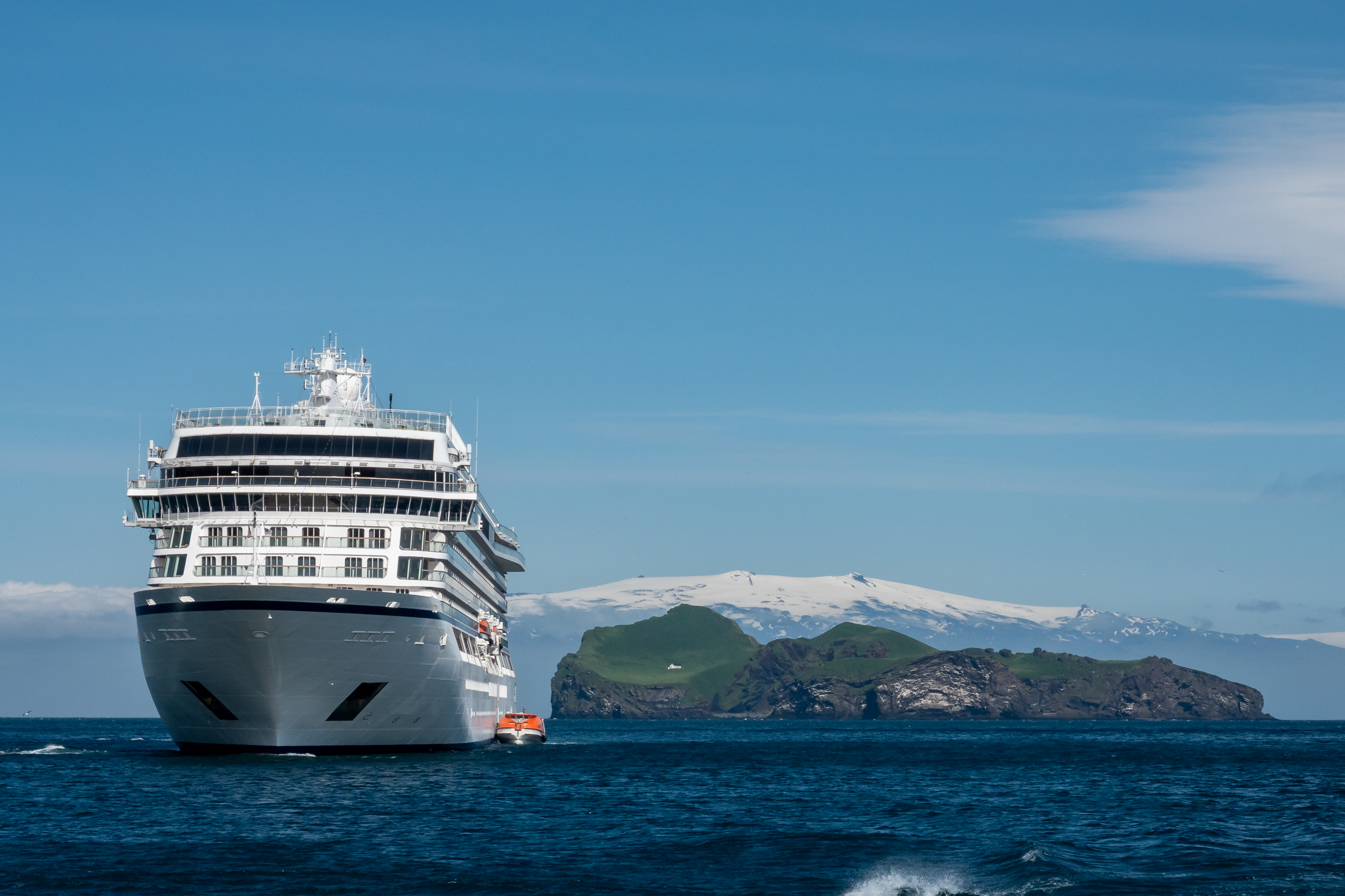
Three neat things in the same photo:
— Notice that both anchors are still aboard. Ship held station all day with engines and thrusters.
— Big island, small house. That is Elliðaey, the island with the loneliest house in the world. It is actually a hunting lodge. Or, if you believe the local wags, a place for men to go drink beer.
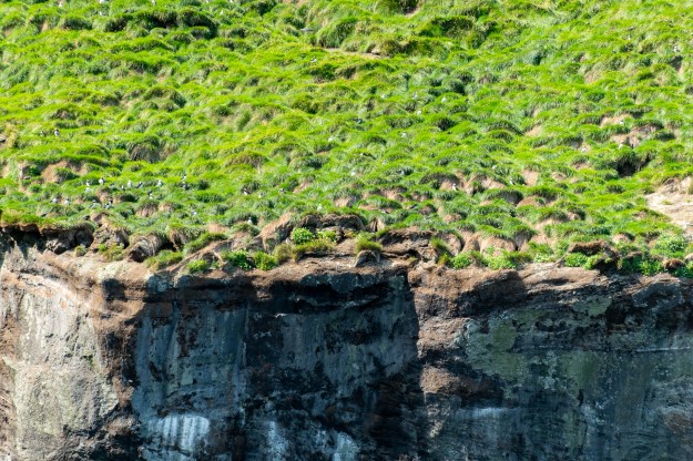
We had picked one of the popular boat tours to see the birds nesting on the cliffs and were lucky to have a wonderfully sunny day. We were disappointed, however, that although we saw thousands of puffins, they were all at a distance up on the cliffs. Our puffin viewing in Northumberland, UK near Holy Isle where we saw puffins up close, had spoiled us!
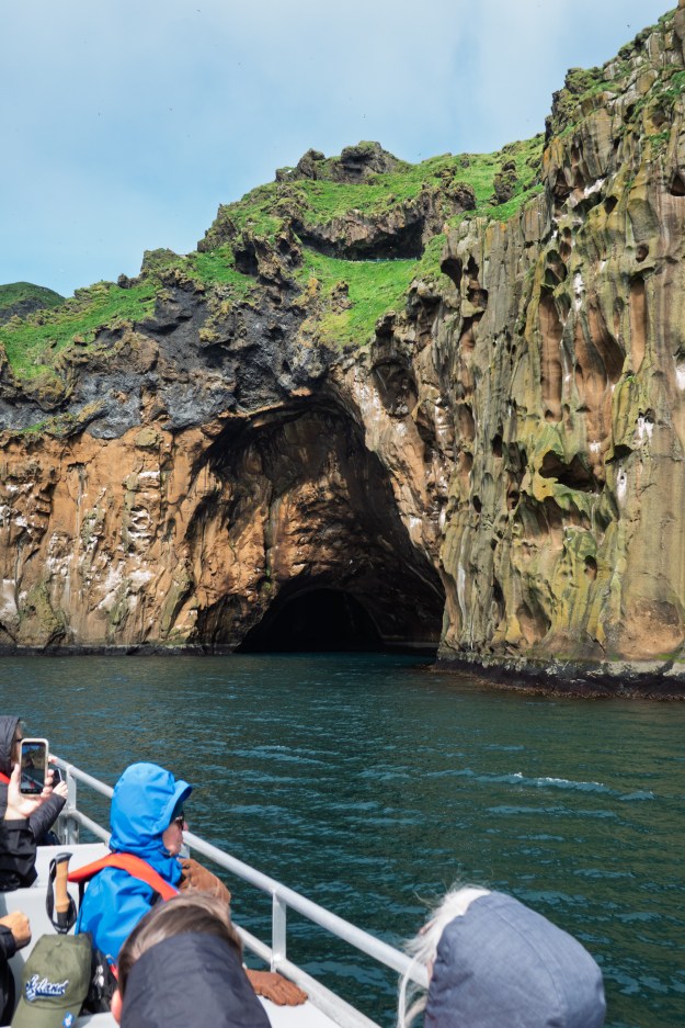
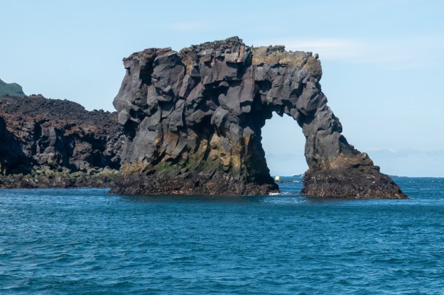
Other than a typical strong wind, the boat ride was enjoyable and we briefly sailed into one of the caves in the cliffs.
We wanted to visit Iceland, both to see the country and also to catch up with Denise’s cousin and his wife. The (multi) thousand dollar question was whether to take the 917 camper or not. There is a weekly ferry from Denmark to Seydisfjordur on the eastern coast of Iceland. The trip takes two nights and, on the return, there is an obligatory stop in the Faroe Islands for two days. And so, of course, we reviewed the blogs of two friends who made the trip in 2015. (https://archive-travelin-tortuga.com/europe/europe-2015/icelandic-sagas.html and https://www.whiteacorn.com/posts/trip/rtw/150625) All of this would have taken longer than time available this year, so we decided to take a ship, with Viking, which would visit Canada, Greenland and Iceland, and we could take extra time in Reykjavik to meet up with family.
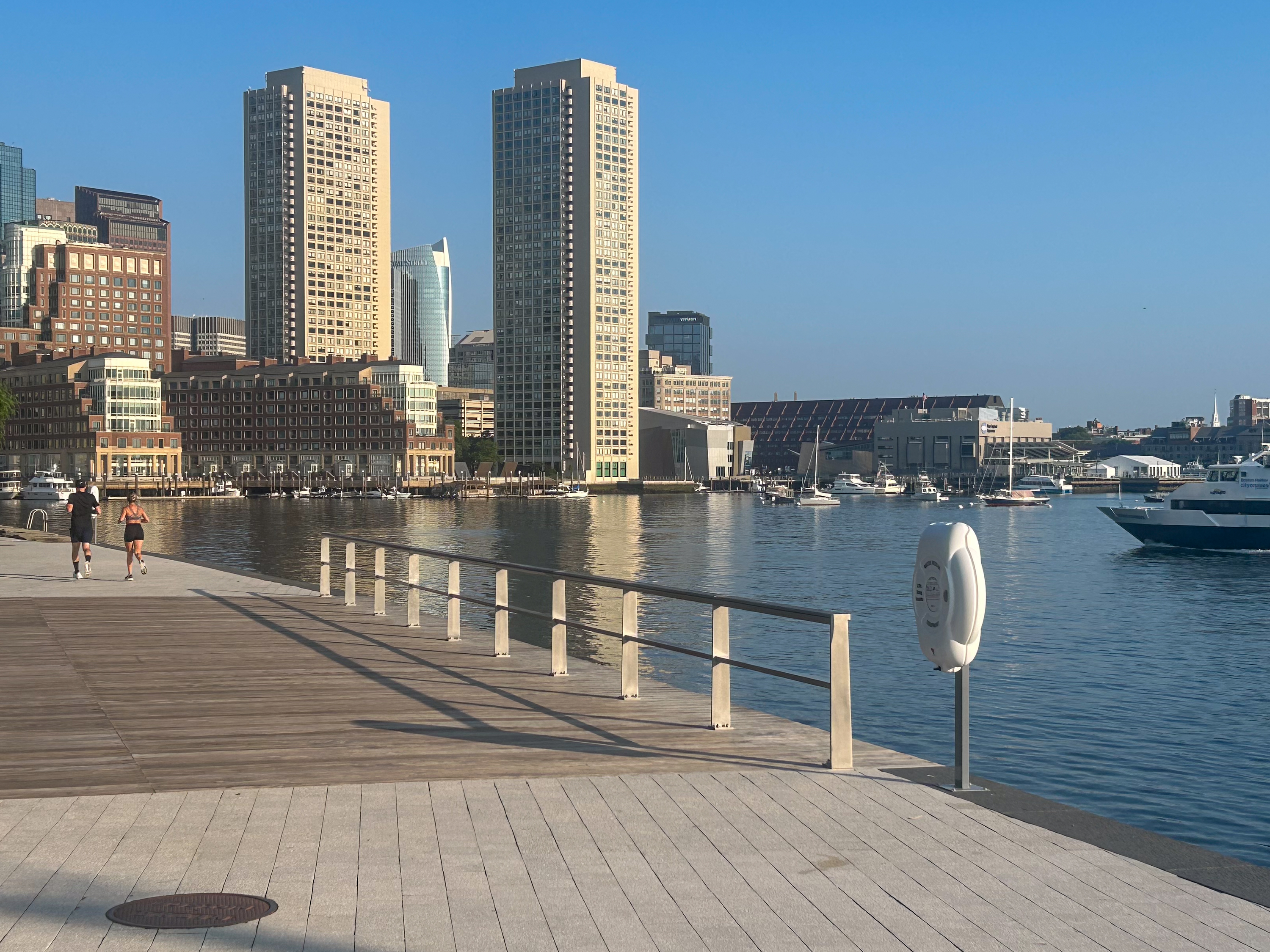
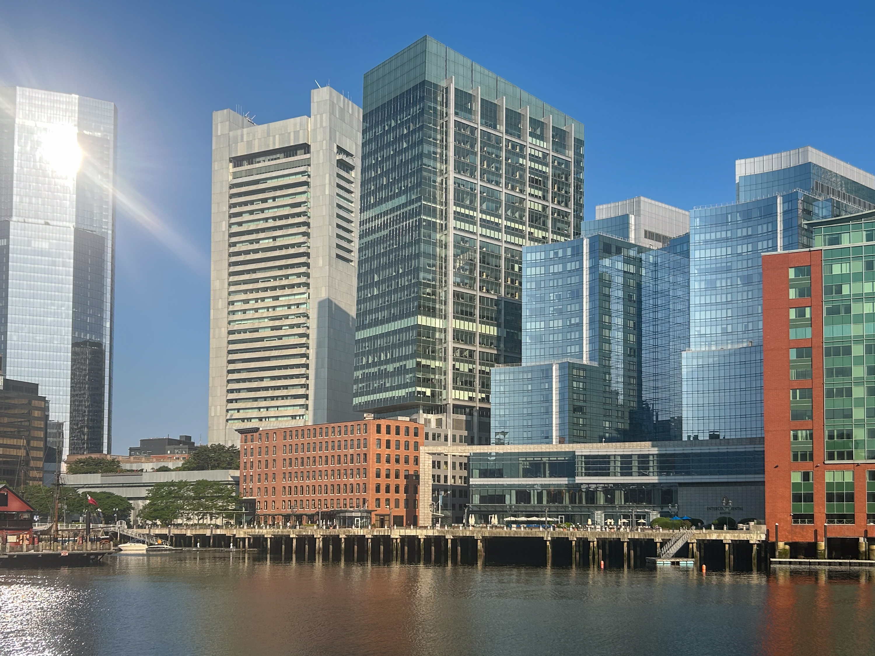
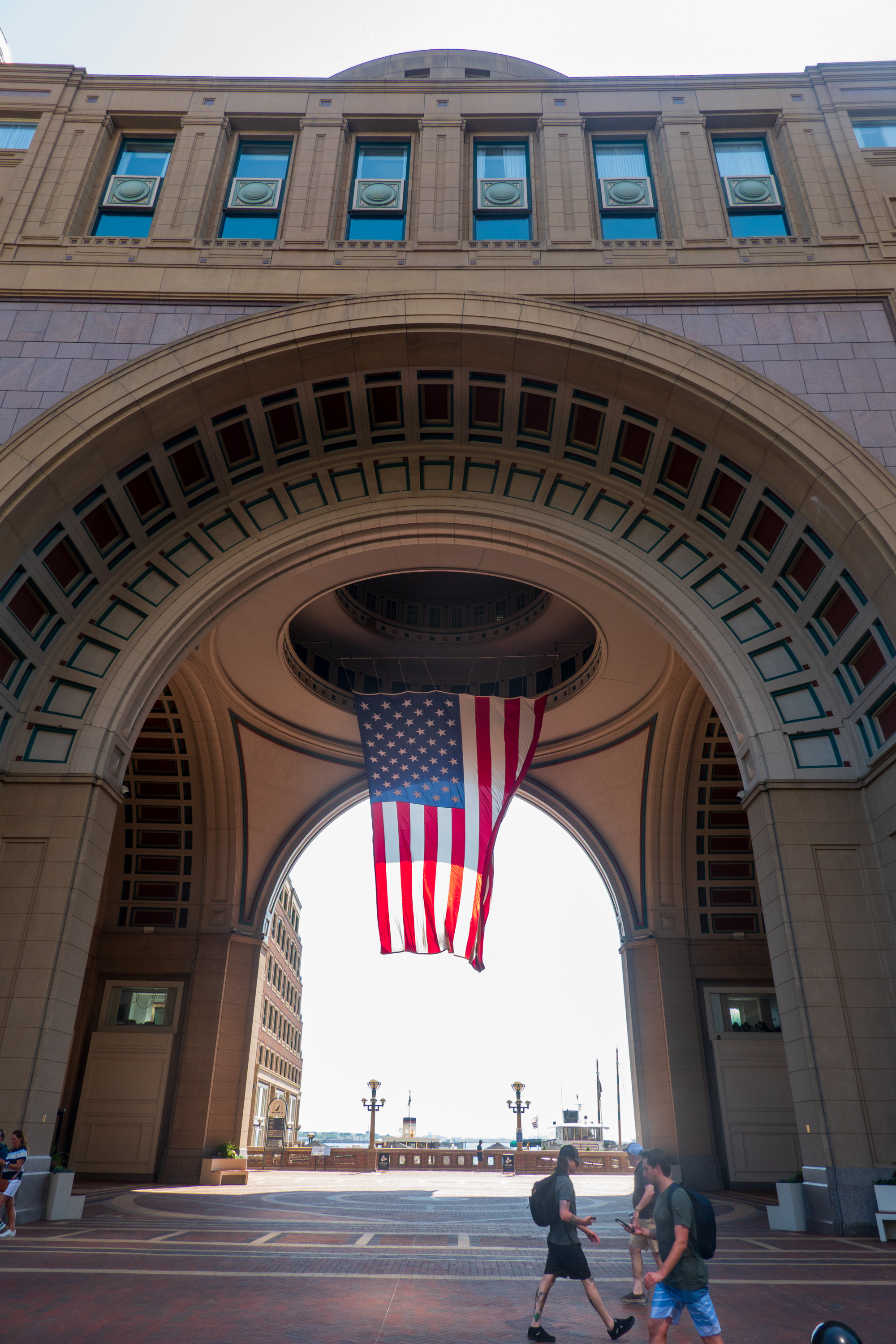
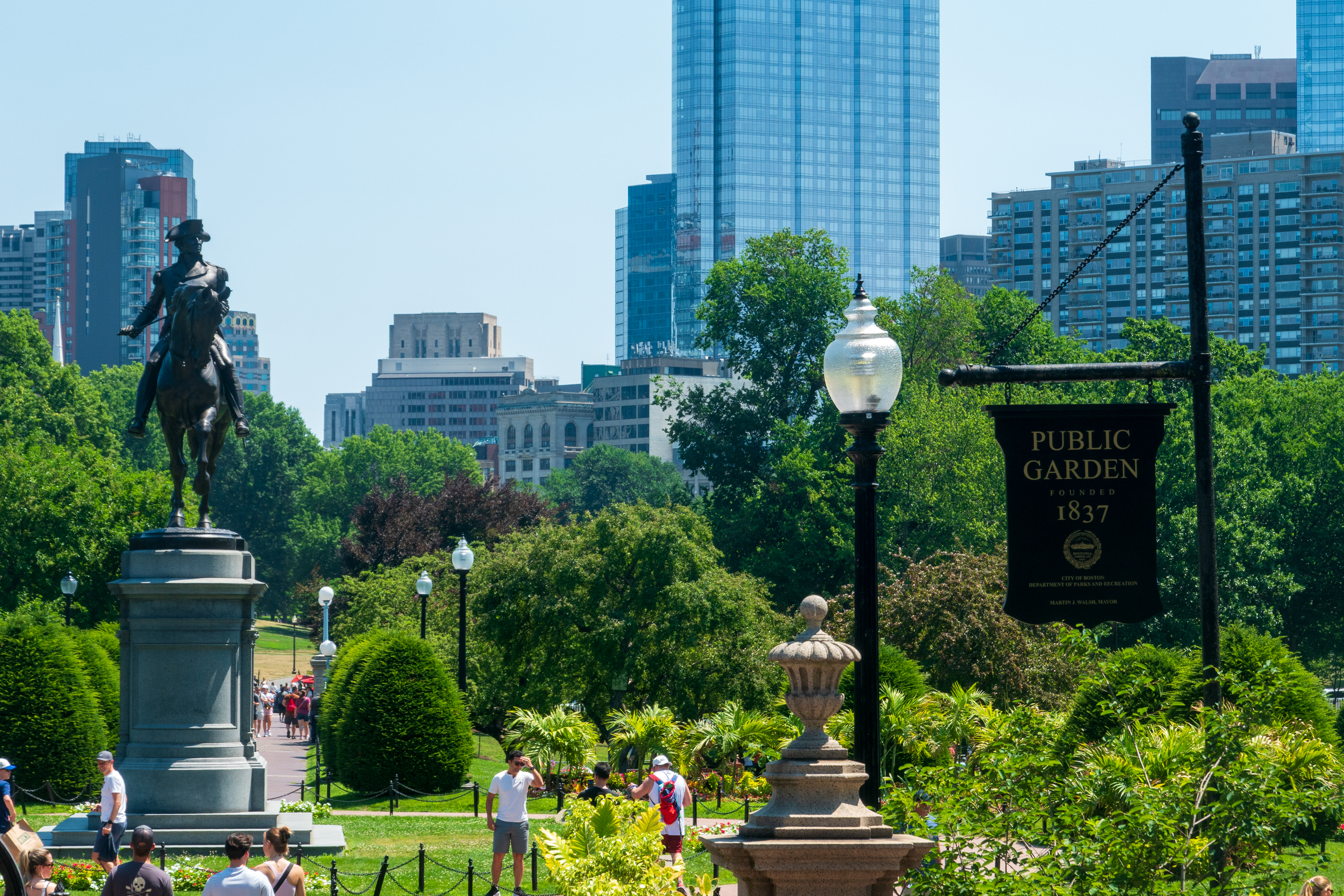
The beginning of the cruise moved from New York to Boston because the Tall Ships were taking all the docking space in New York. This was a celebration of the July 4 holiday. We took advantage of the pre-stay and spent two nights in Boston before joining the ship. The hotel was well placed by the Harbor Walk and we enjoyed early morning strolls along it, viewing the historical information panels along the way and admiring the views of the city a little further away.
View from the Harbor Walk.
Our hotel was the silver building in the center.
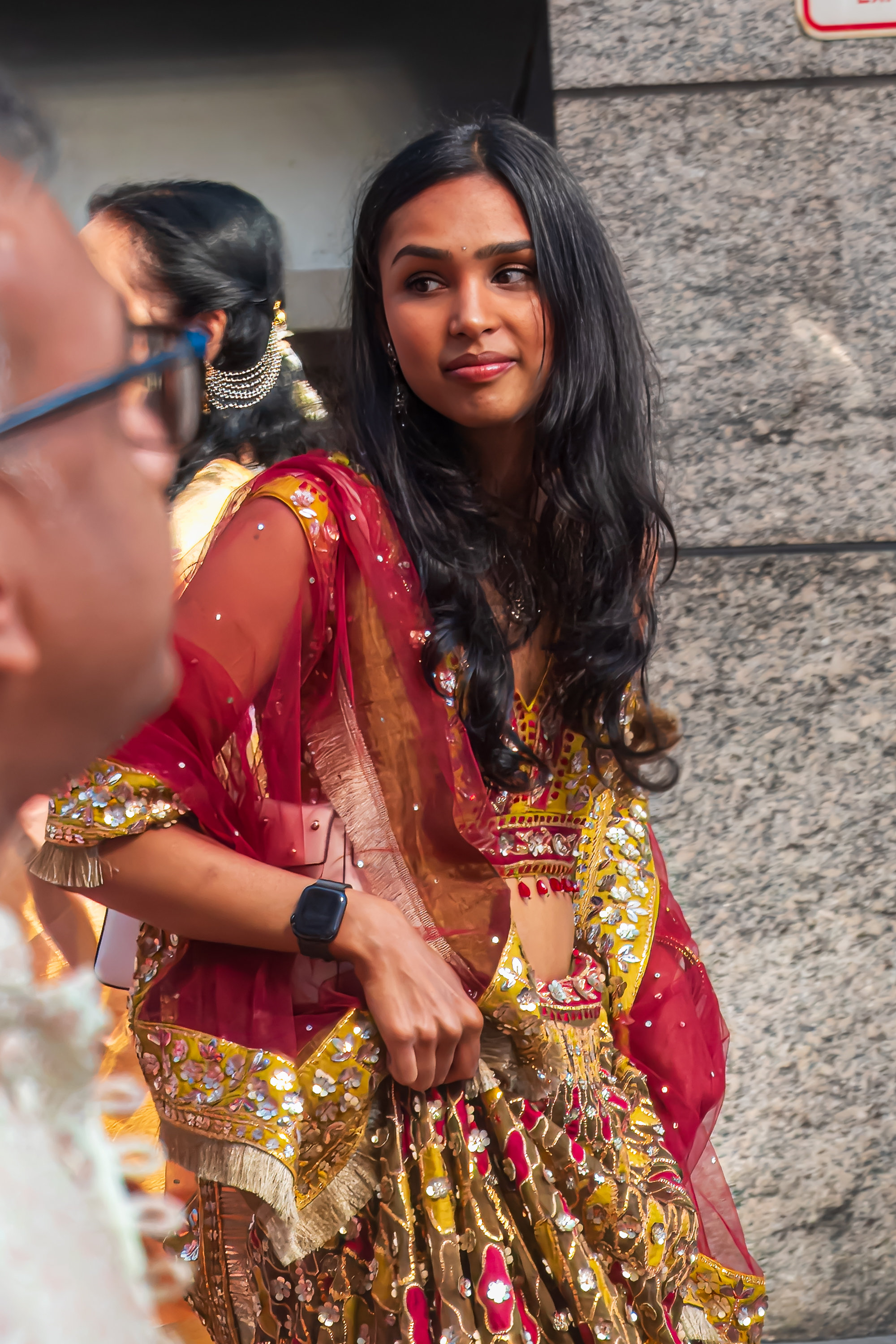
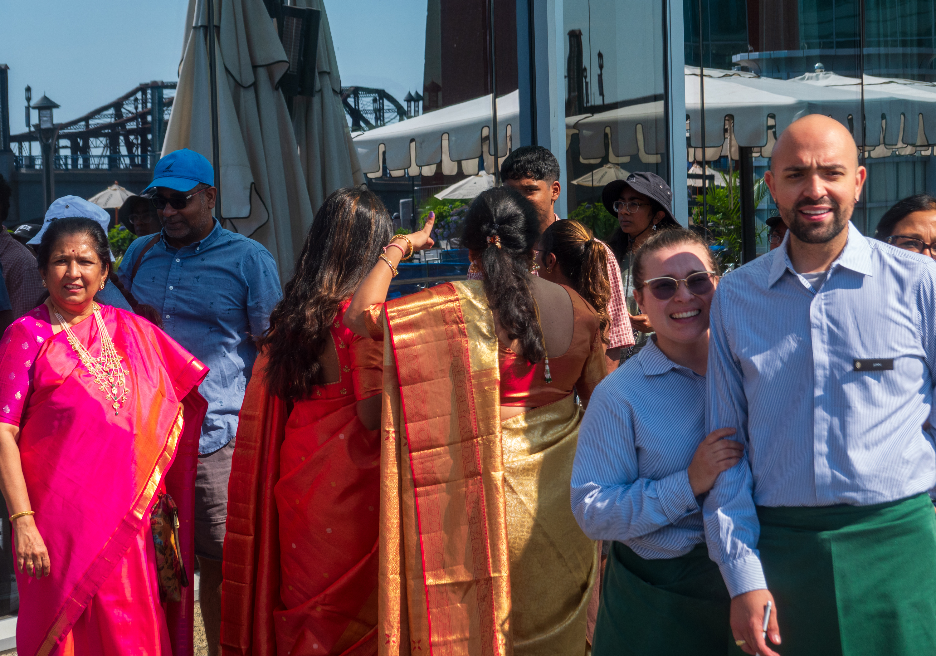
We even got to enjoy being on the sidelines of an Indian style wedding! Lots of color, fun and, of course, drums!
The bride.
Two of the hotel staff came out to join in the procession.
We have been to Boston on several occasions (Fred went to university there) and, as it was very hot, we decided to take a hop on hop off bus to renew our memories.
Boston was gearing up to celebrate the 4th and we felt sorry for the costumed re-enacters who looked very hot indeed!
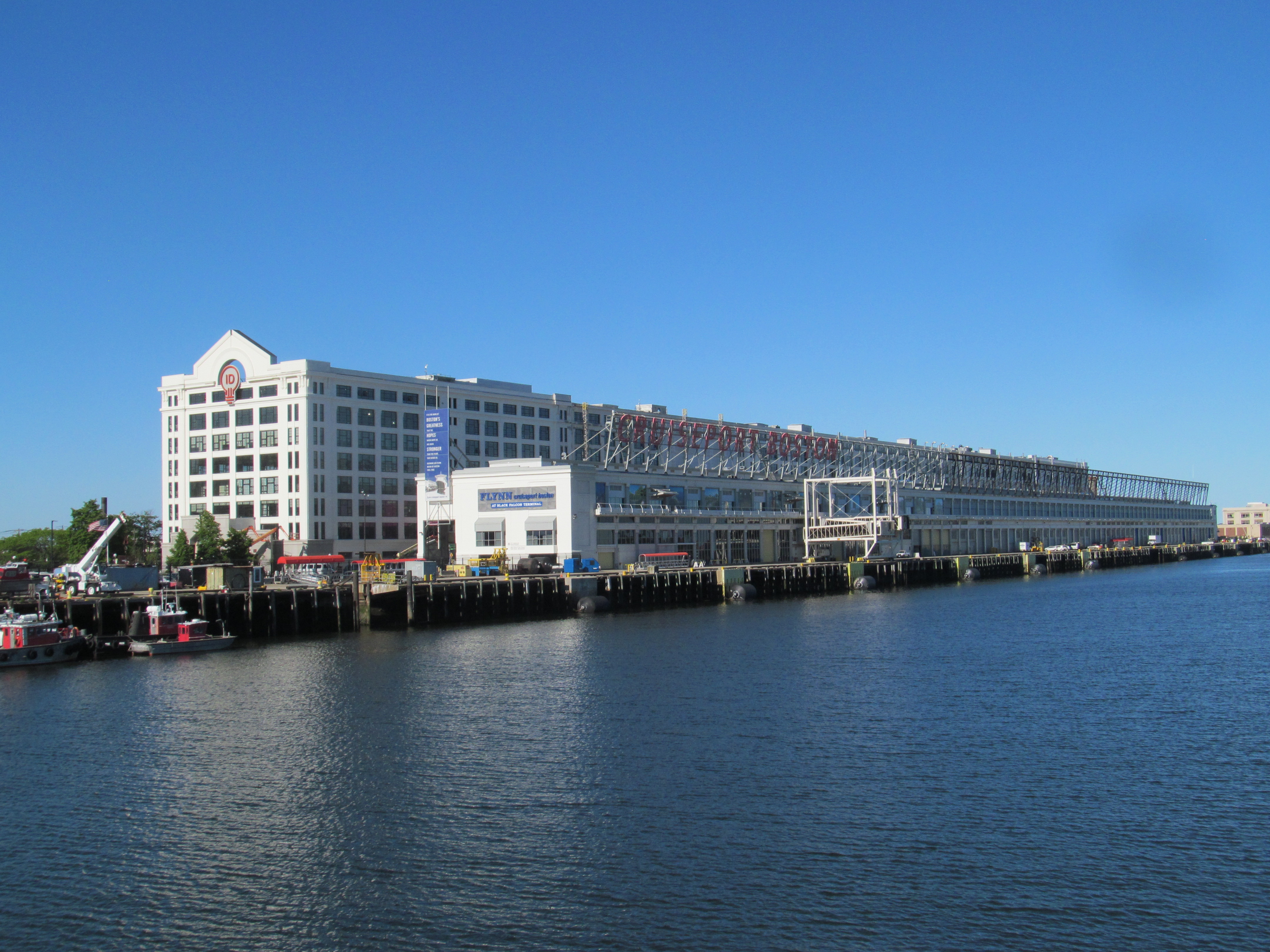
Departure day arrived and we were bussed to an old style pier. Unlike modern cruise ports, which look like airports, this brought back memories of the ’50’s when they simply cleared a space among the crates and dropped a gangway.
The embarkation took a while, it always does, but it did seem a bit disorganized. We managed to sort it all out and went to lunch to find it absolutely jammed and nowhere to sit. We had to sit outside, which was a little warm, but we survived. (First world problem!) And, when we reached our cabin, it looked lovely.
Canada
Our first stop was Halifax, which we had not visited on our previous trip to Nova Scotia.
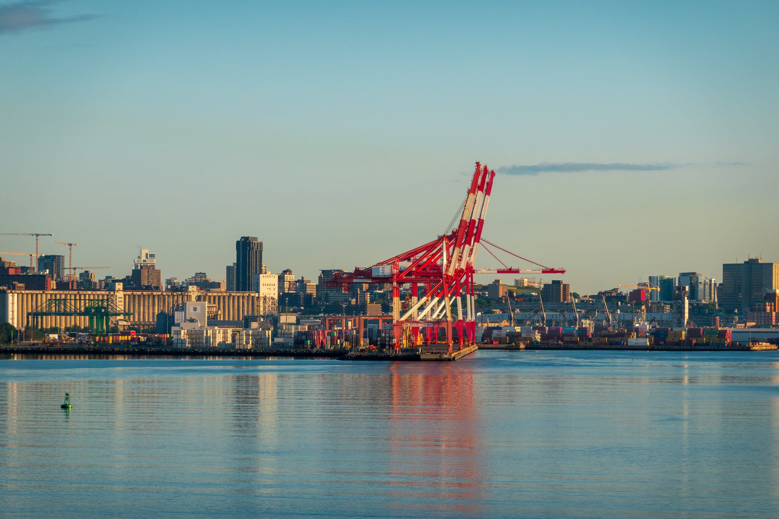
Sailing into Halifax at dawn.
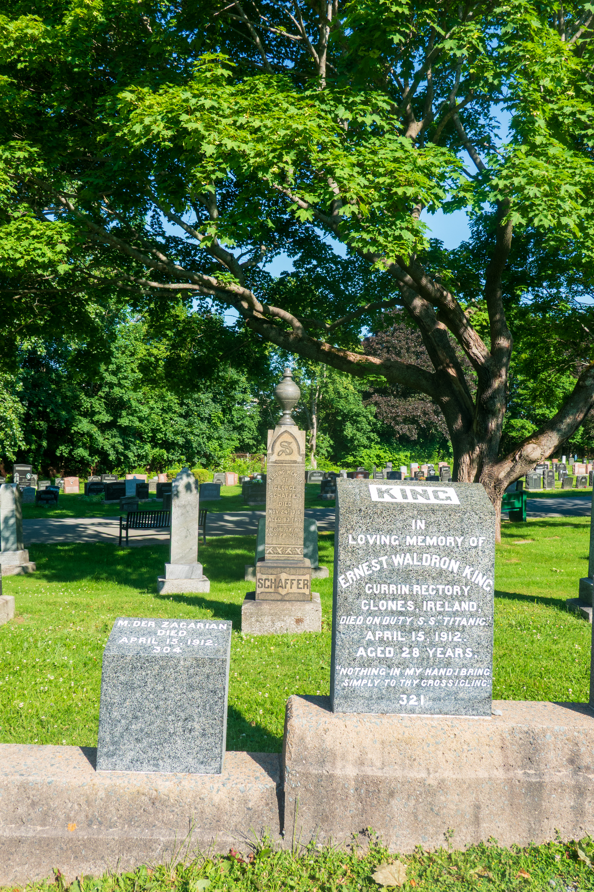
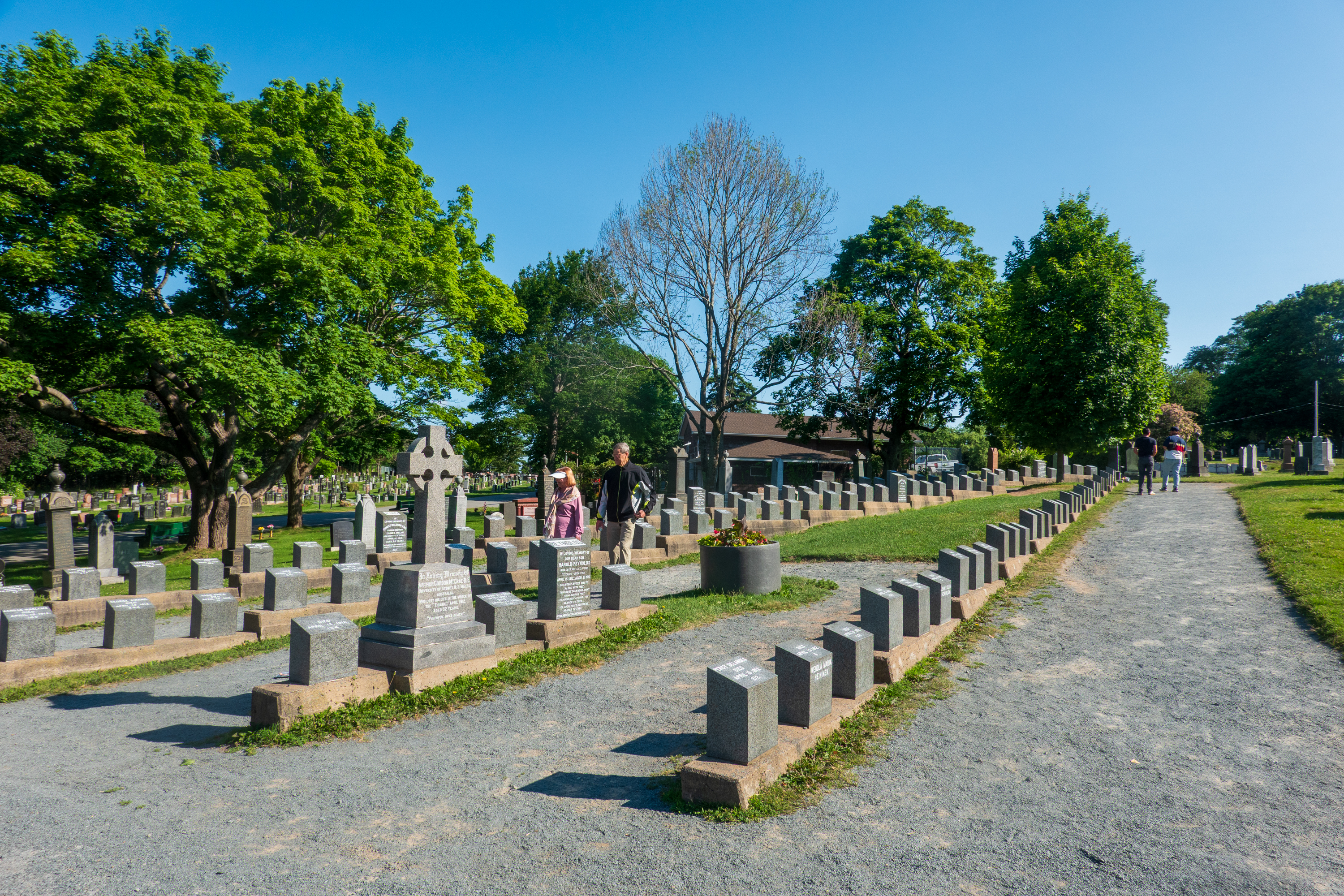
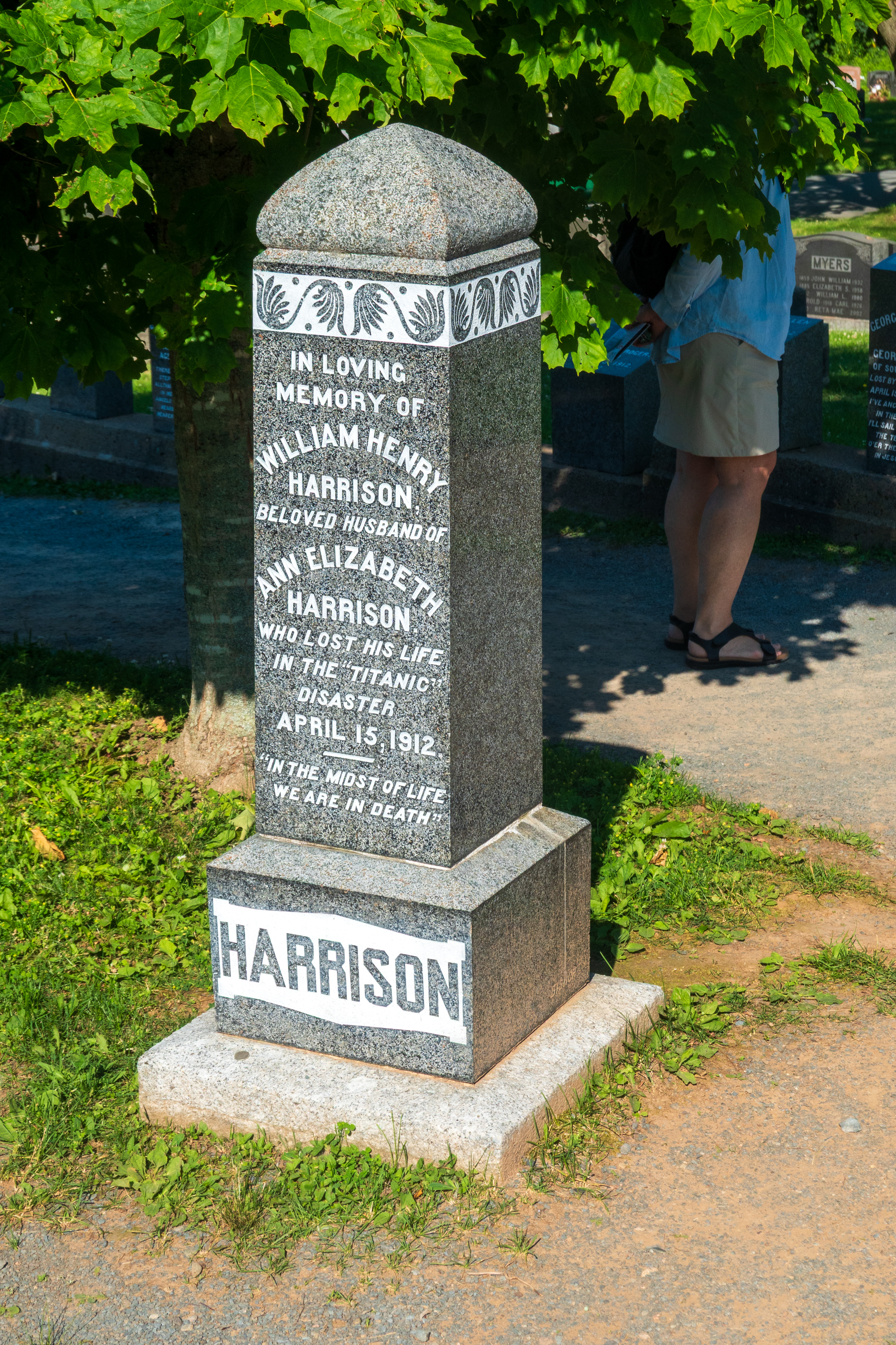
Double decker buses had been provided for our transit needs so we took an early one and started out at the Fairview Lawn Cemetery (https://en.wikipedia.org/wiki/Fairview_Lawn_Cemetery), one of three cemetaries where a number of named and unnamed victims of the Titanic disaster are buried. Halifax is linked to the Titanic disaster as it was the closest major seaport and was the base for many of the recovery efforts.
Most of the graves are in these rows of numbered tombstones.
After wandering the cemetery, we took another bus to the main part of town, before heading down towards the waterfront Boardwalk.
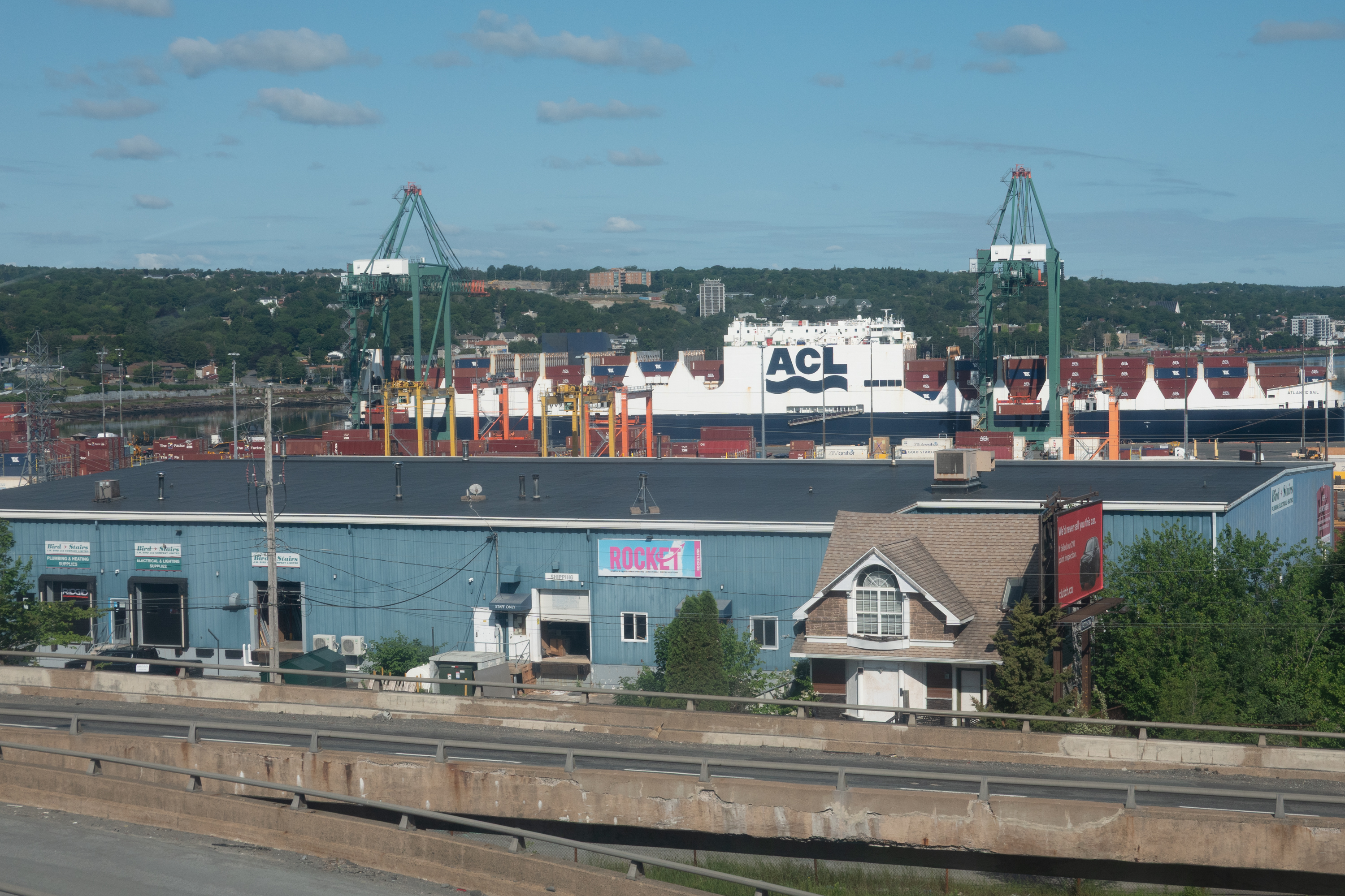
Surprise grab shot – the sister ship to the Con-Ro (Container/RoRo) that carried our truck back from UK. Very few of these hybrids exist. Containers on deck and roll on/roll off below deck.
looking up to Citadel Hill (Fort George)
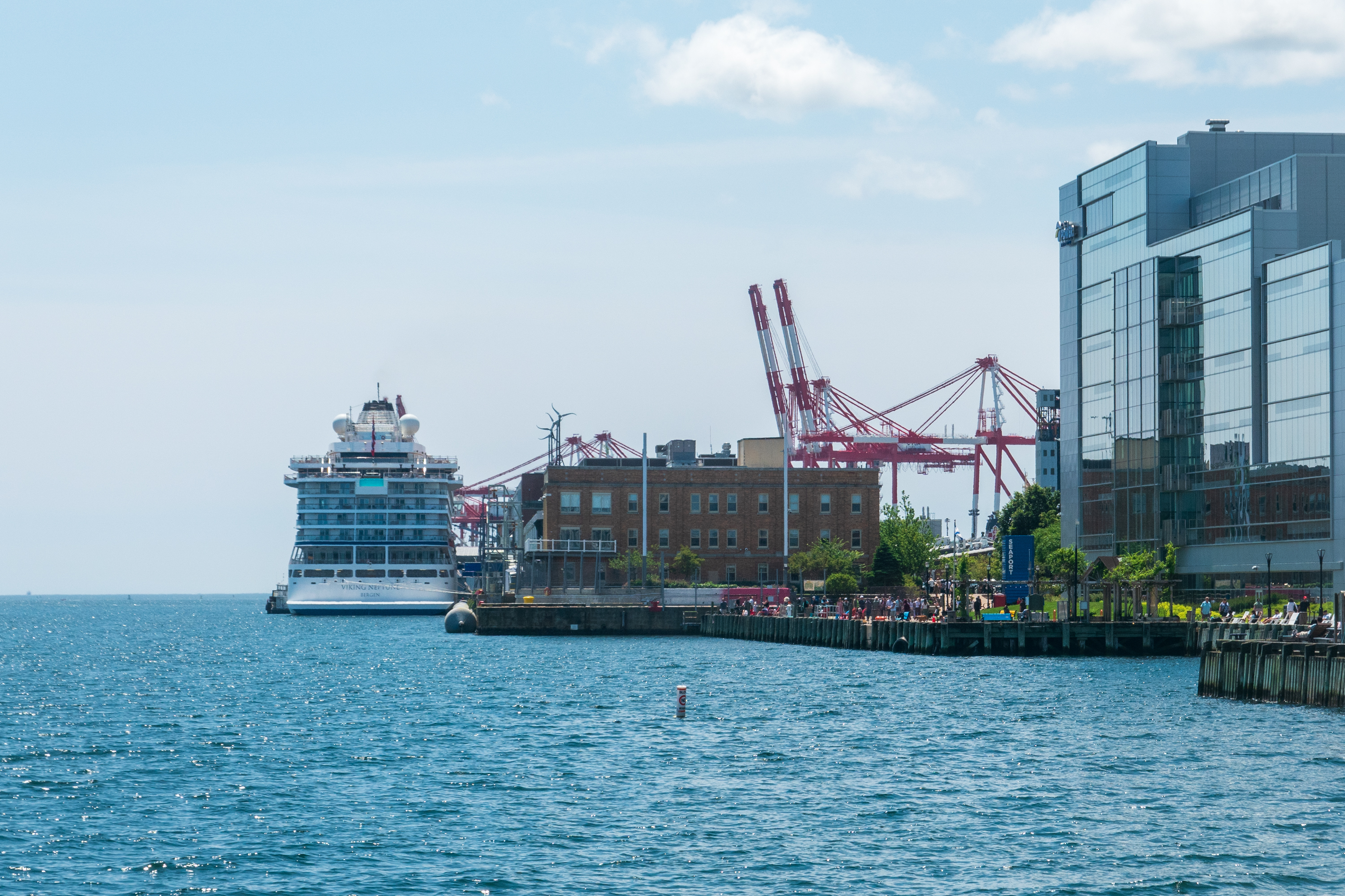
The Viking Neptune, tied up on the Boardwalk.
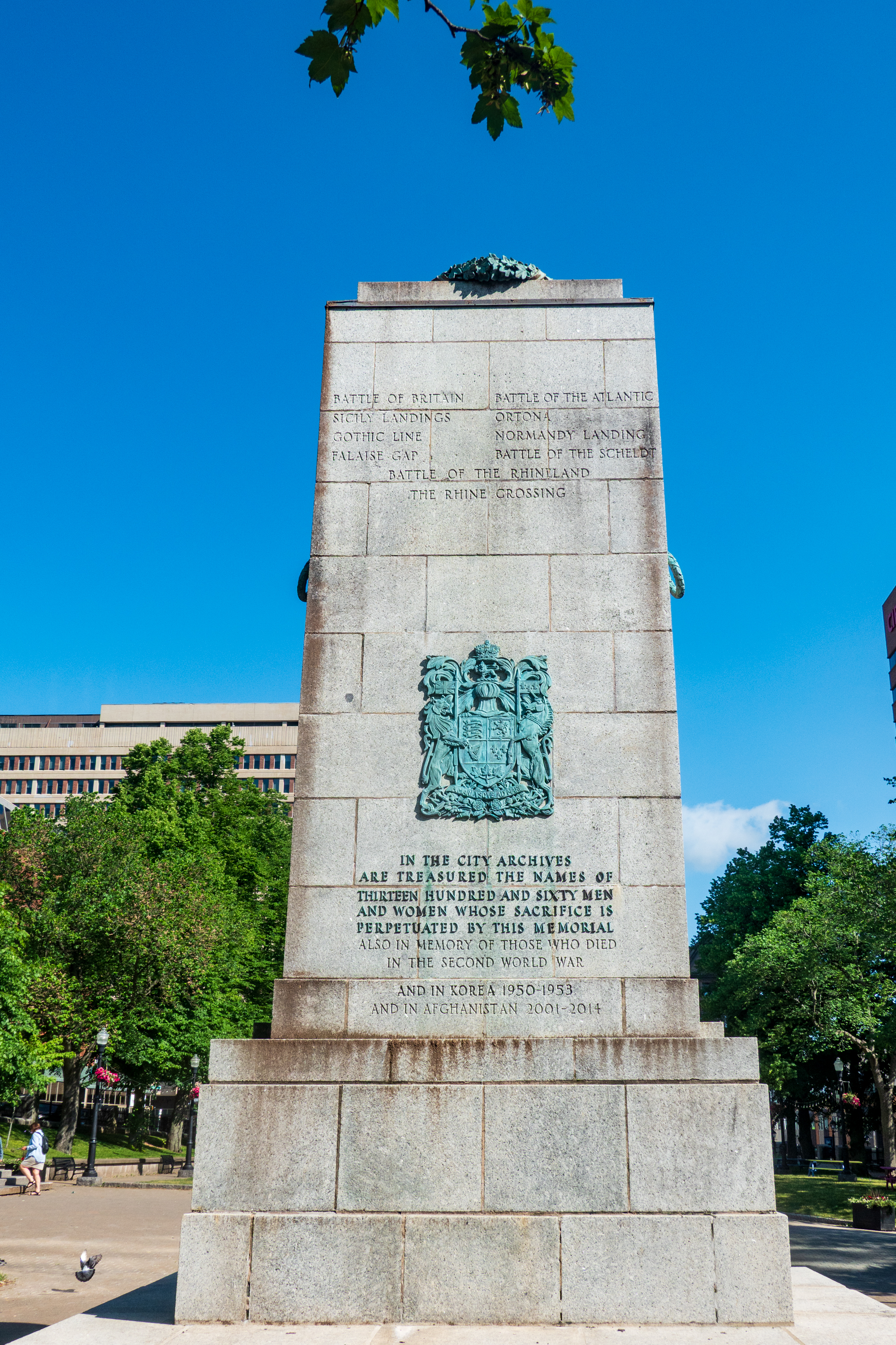
War memorial with too many names in too many additions for too many wars.
Our goal was the Maritime Museum of the Atlantic, a fascinating museum. (https://maritimemuseum.novascotia.ca) The museum had the obligatory exhibits on the Titanic, of course, but it also covered the less known, in the United States, at least, ammunition ship explosion of December 1917, one of the largest non-nuclear explosions in history. (https://en.wikipedia.org/wiki/Halifax_Explosion)
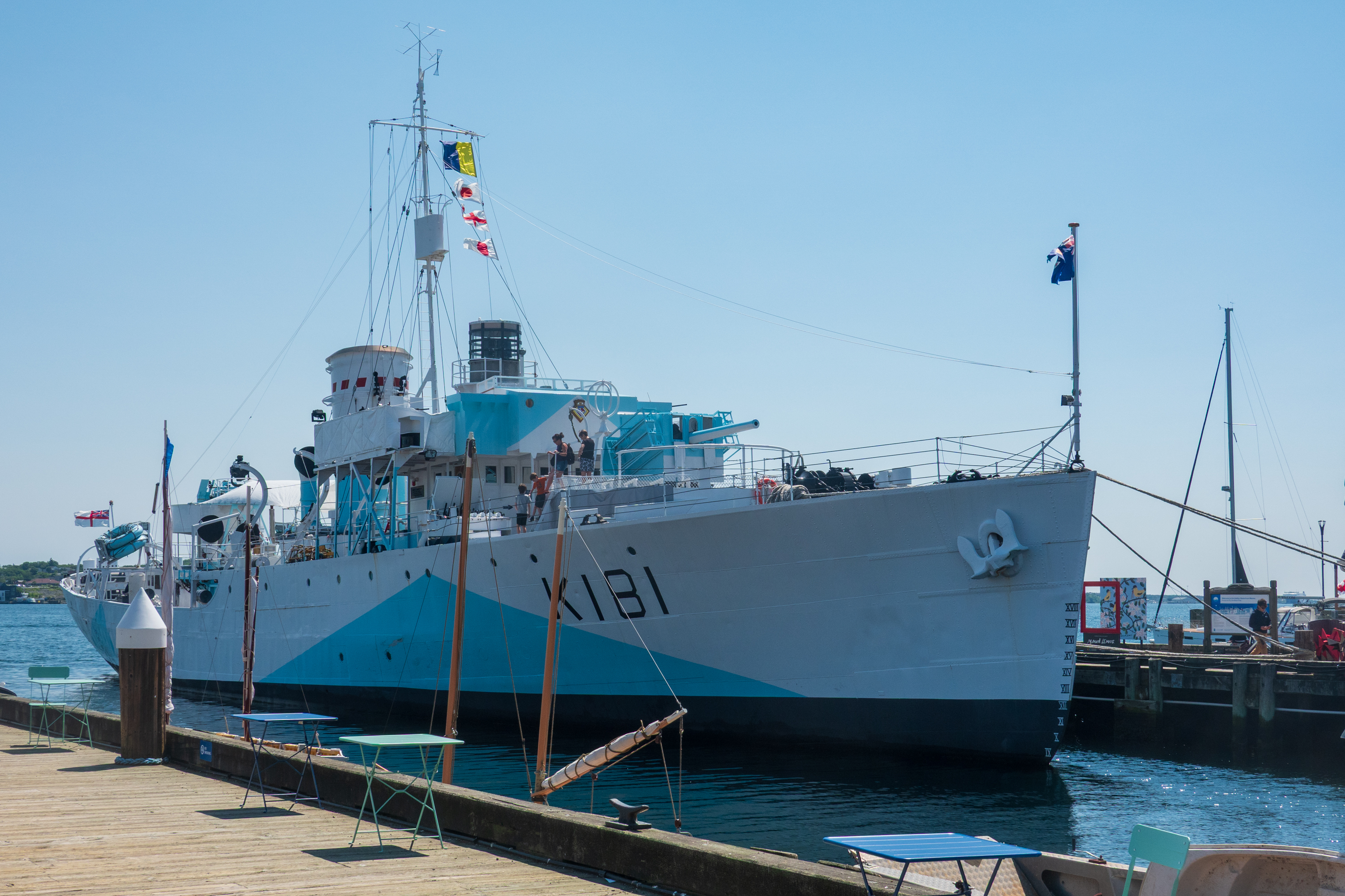
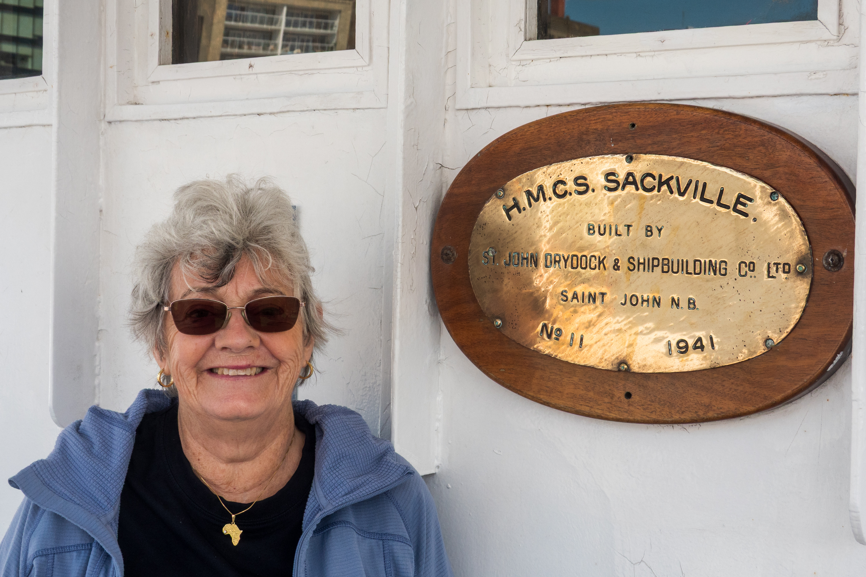
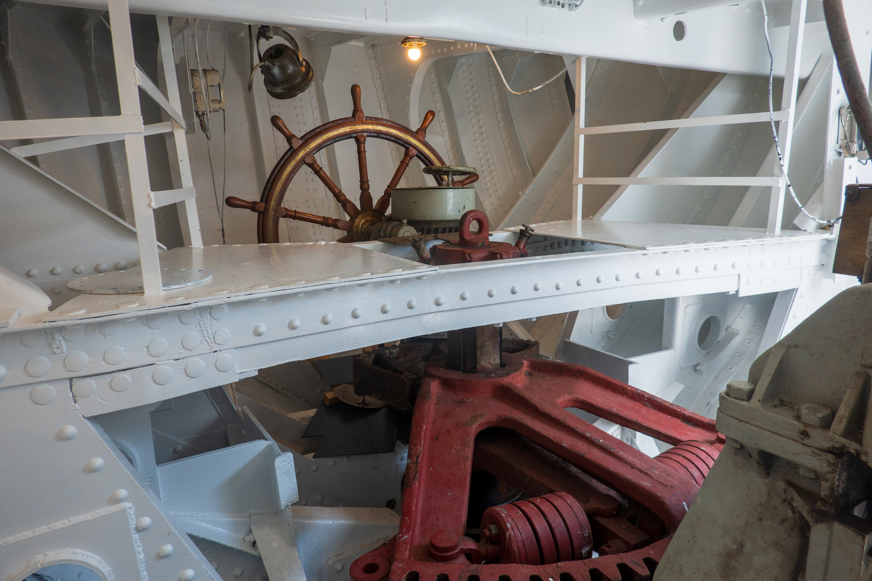
Fred was thrilled – not only is the Sackville a Flower class corvette, but she was the digital model for the Canadian corvette in the movie “Greyhound.”
Fred’s favorite, after steering. Should the linkage to the bridge be damaged, the ship can be steered from down here.
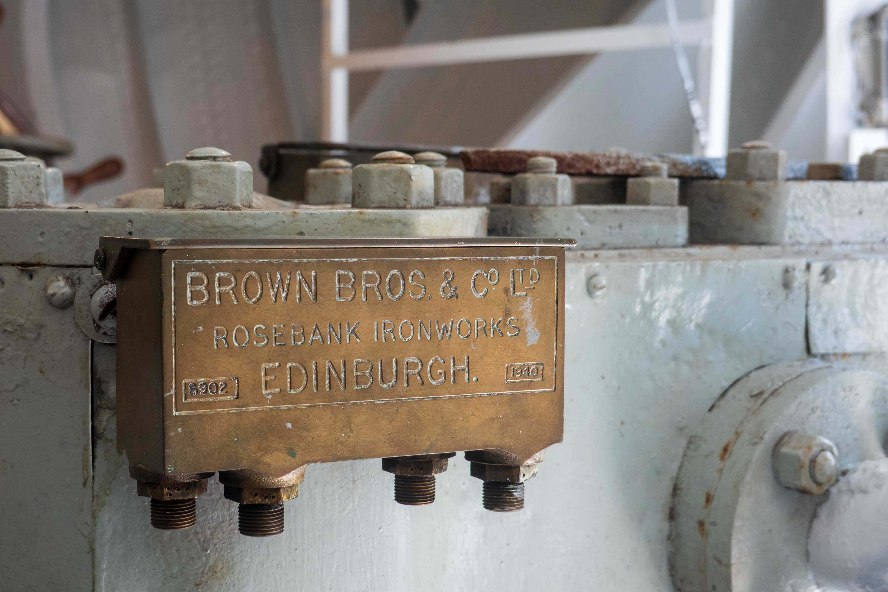
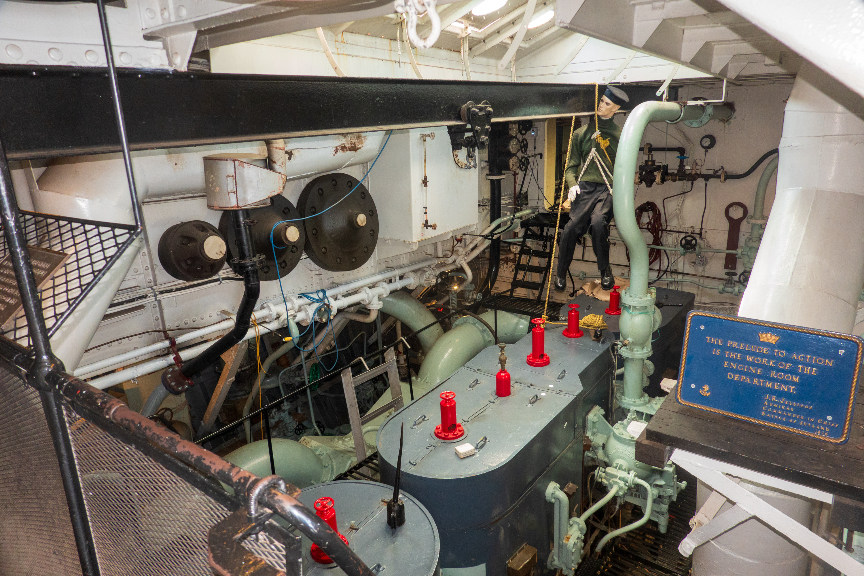
The Flower class had old, triple expansion engines. Cheap and actually rather reliable. The goal was quantity, not quality.
She is of a similar vintage to the oiler on which Fred cruised as a midshipman and her anti-submarine gear was similar to the equipment at Fred’s NROTC unit. (Fans of the history of anti-submarine warfare are welcome to reach out for endless discussions of a subject the most people ignore!)
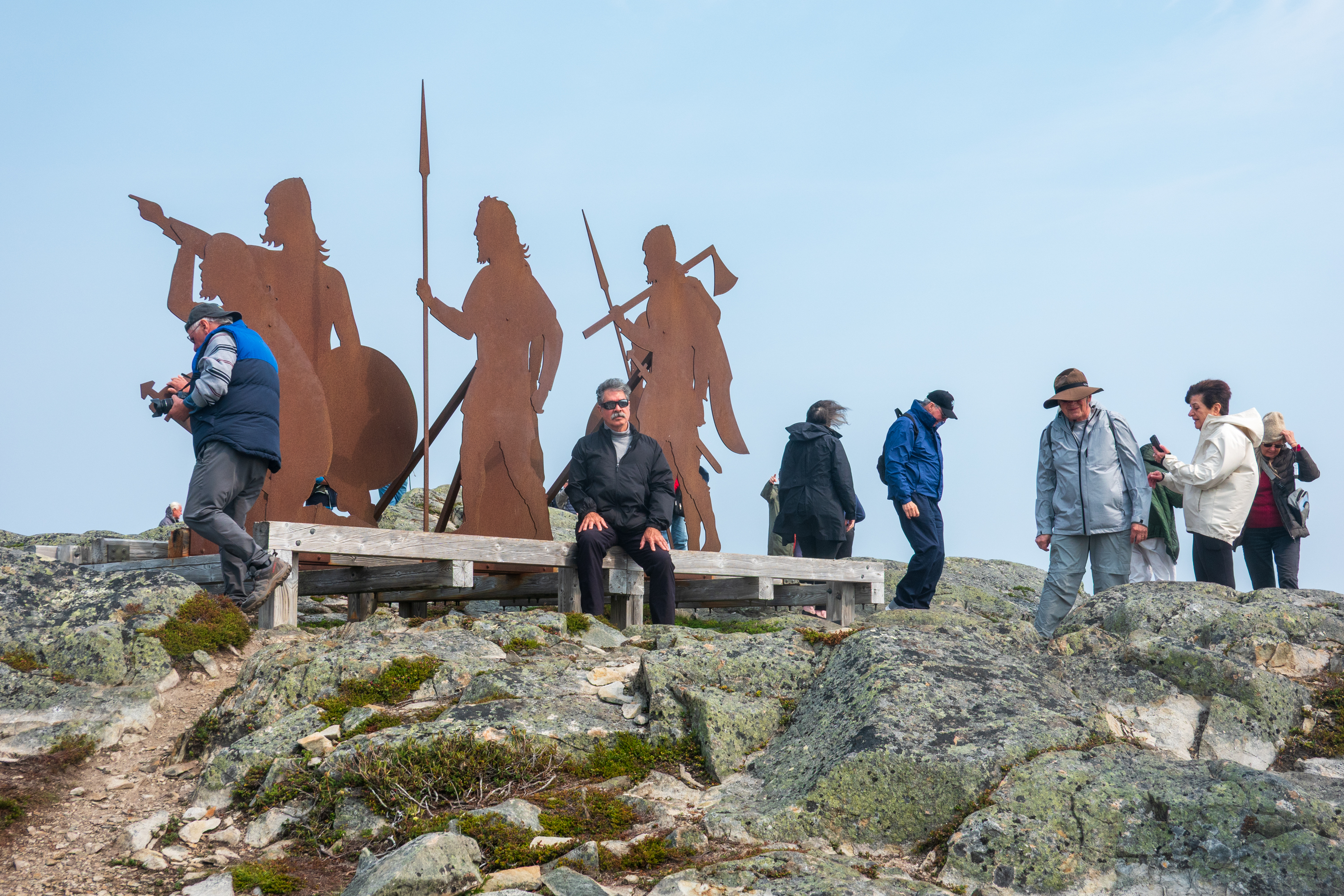
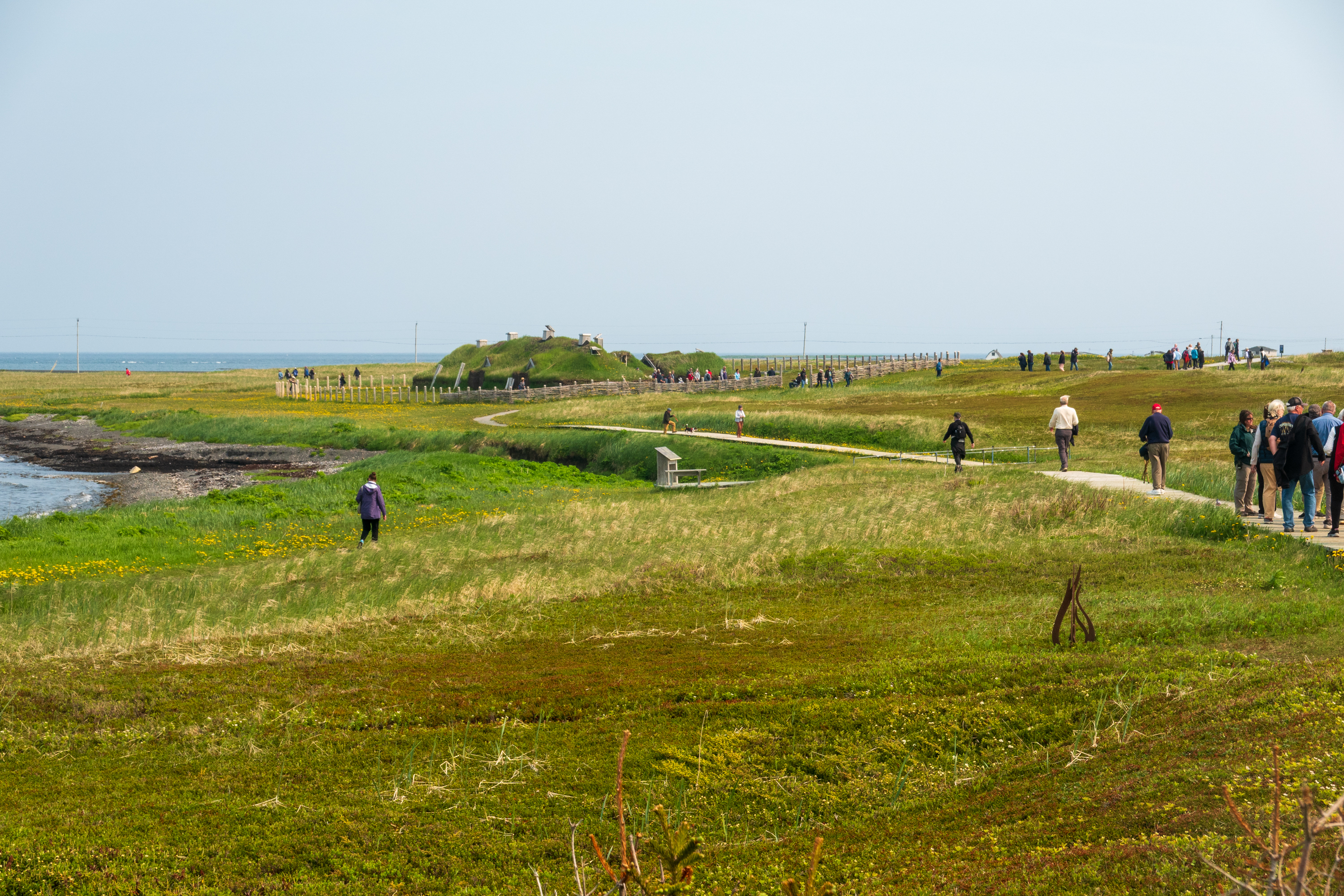
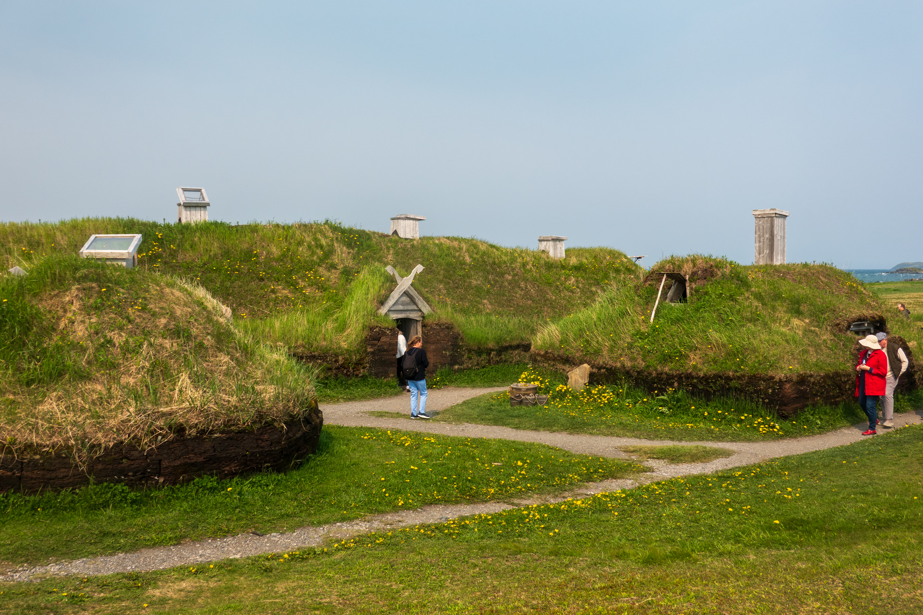
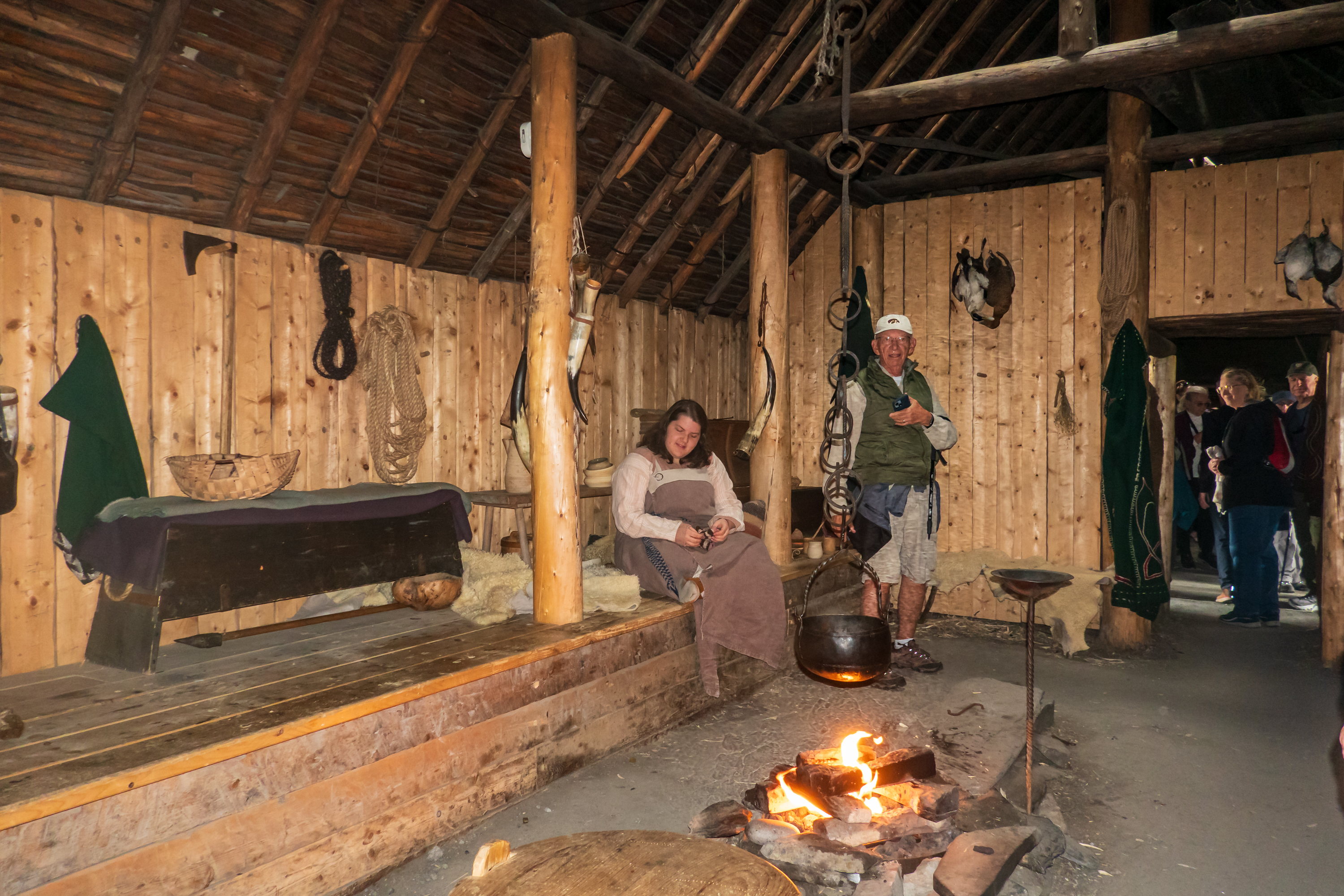
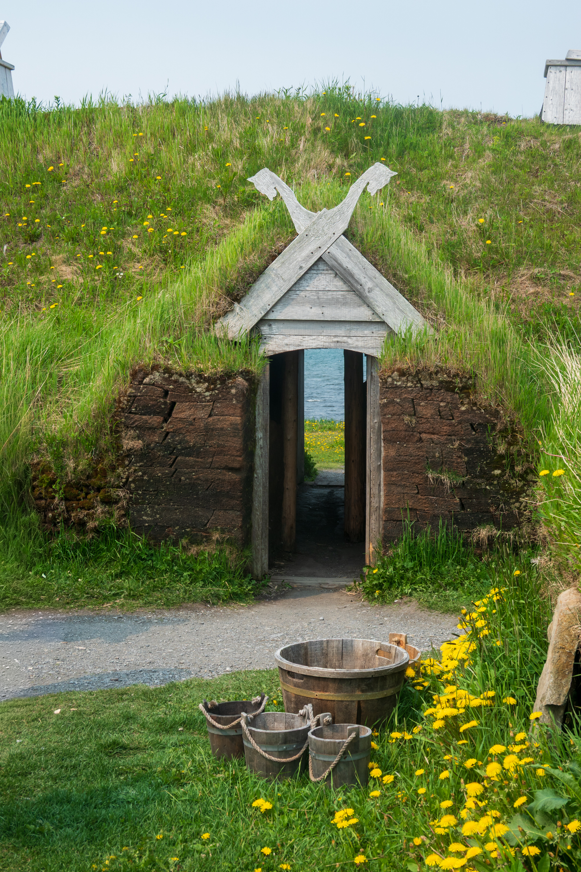
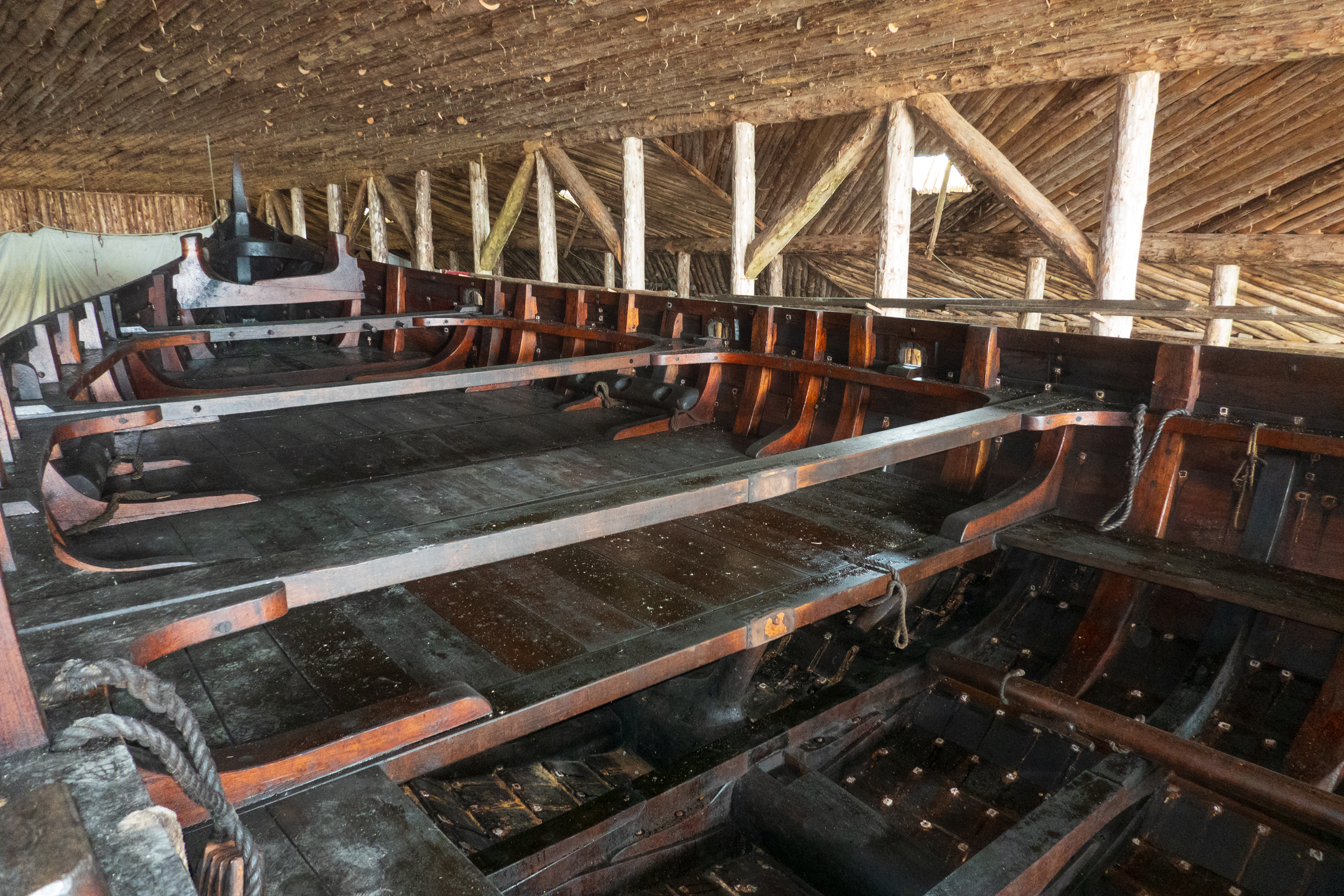
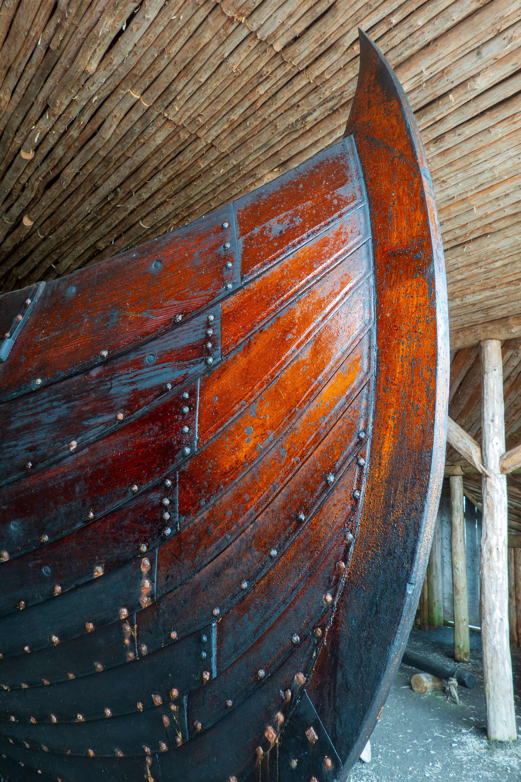
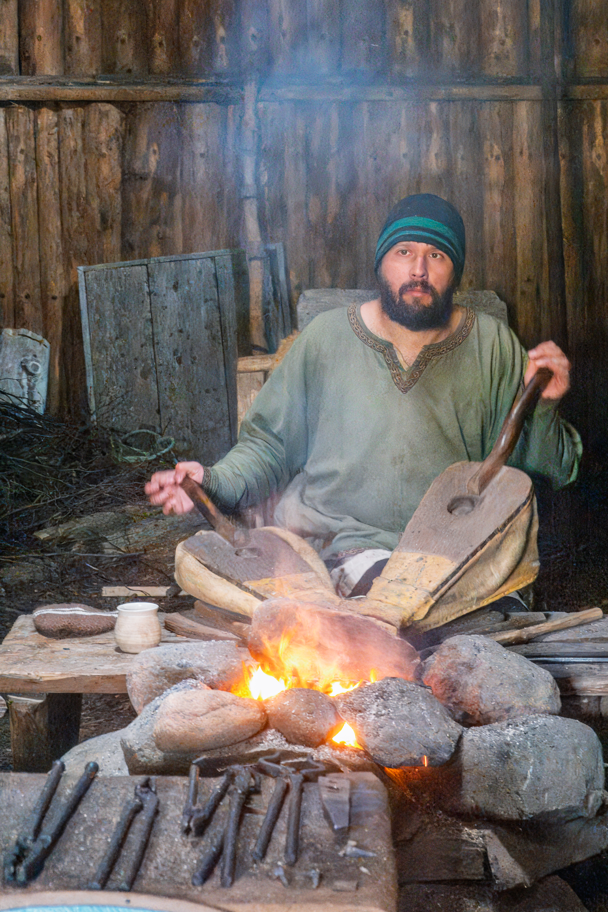
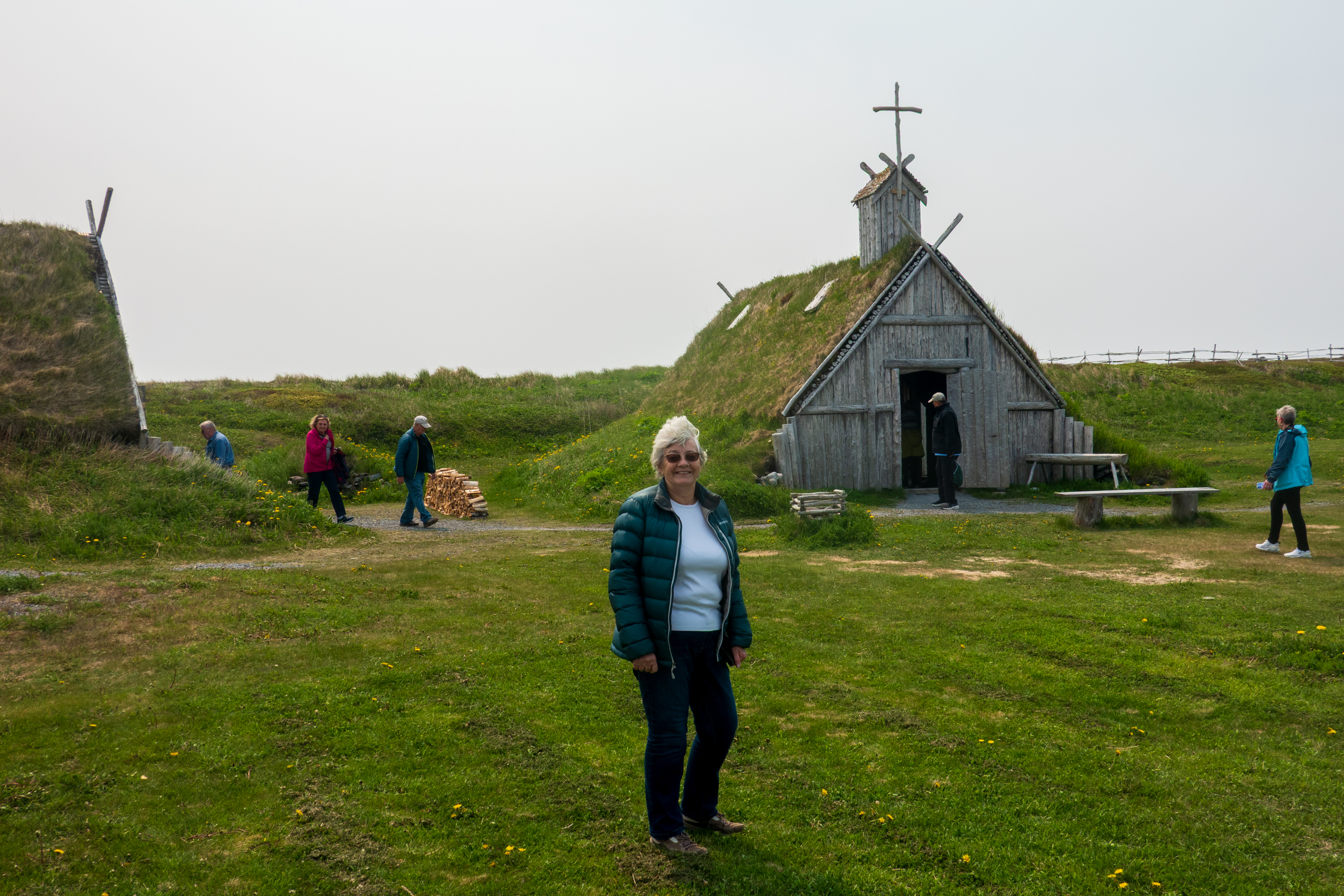
We continued by sailing up the coast of Canada to L’Anse aux Meadows, site of the first Norse settlement in the Americas, by Leif Eriksson about 1001. (https://en.wikipedia.org/wiki/L%27Anse_aux_Meadows) Recent archeological digs have proven that the Vikings did indeed make the crossing from Greenland to the Americas, probably in search of wood. There was little forest left in Iceland and none at all in Greenland. Dwellings have been reconstructed and the Viking way of life explained.
Click on images for slide show.
Consider an interesting idea. If, as believed, all human life began in Ethiopia, and then spread east to Europe and west to China and, across the Bering land bridge, to America, then this may have been the first time that the eastern and western branches of humans re-encountered each other. Today the year around population is under 40.
Greenland
And on to Greenland after a wonderful day on a glass calm sea. Unlike some, we thoroughly enjoy sea days!
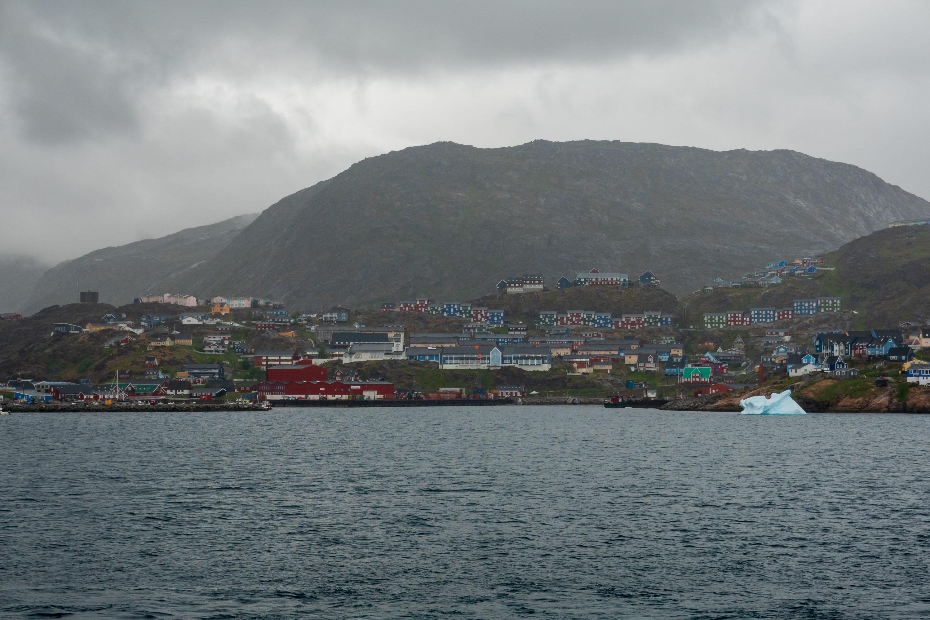
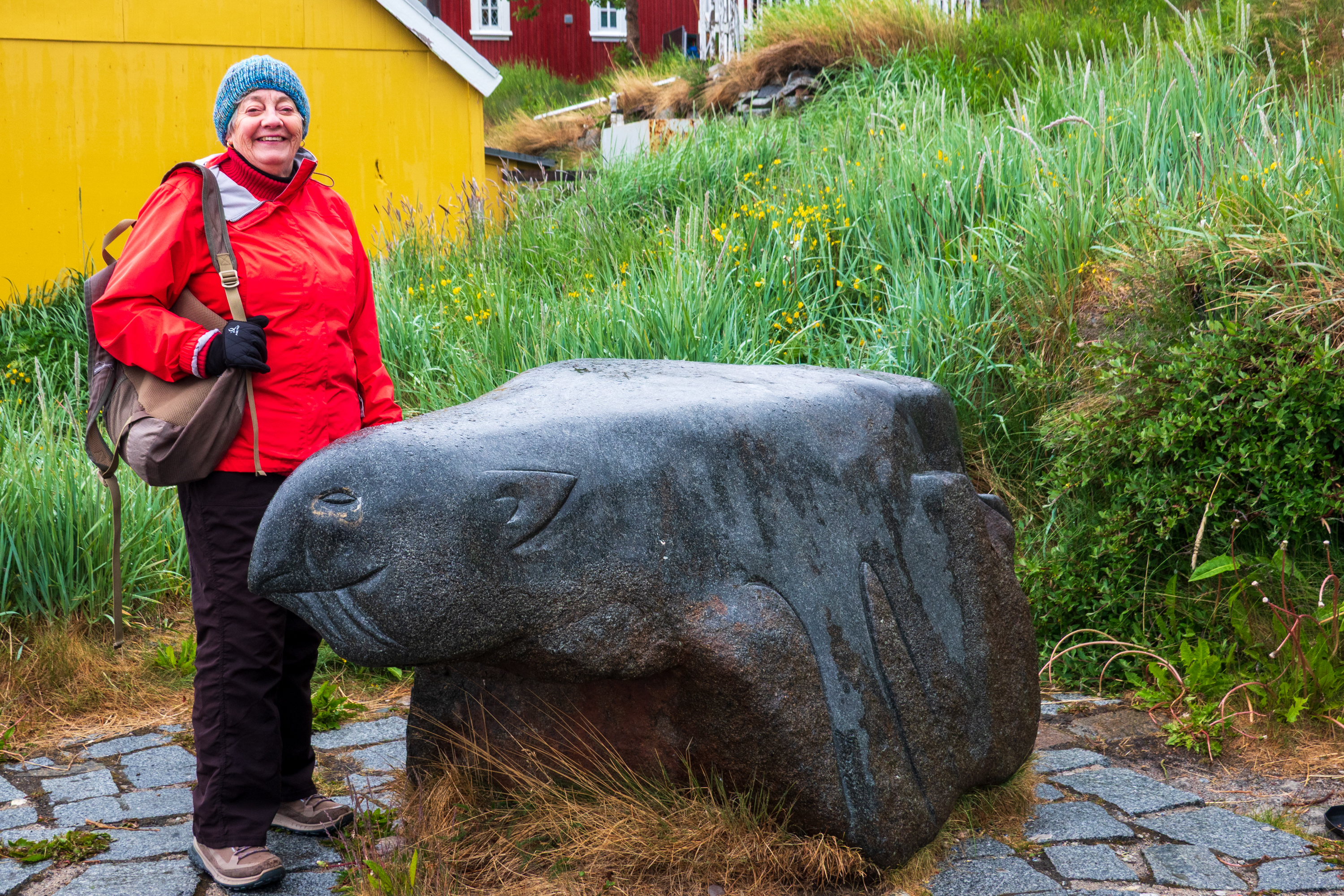
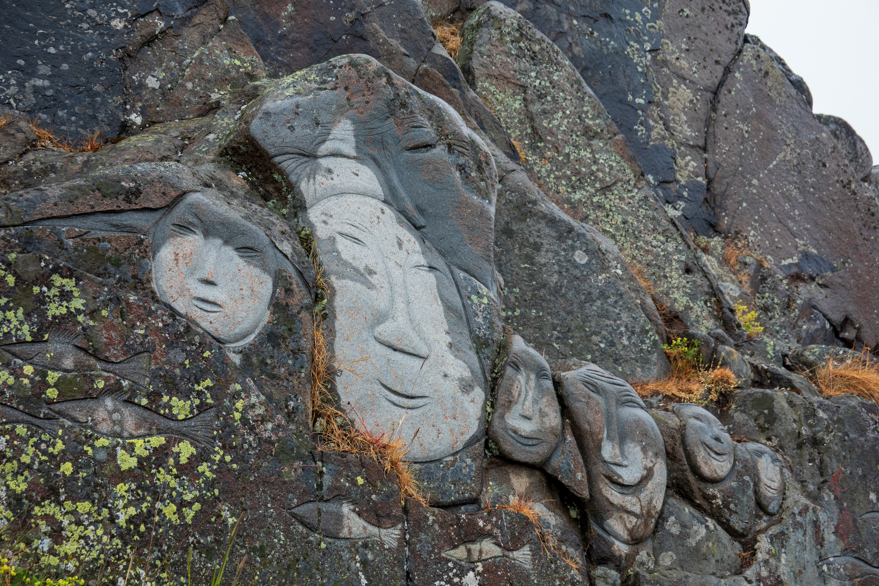
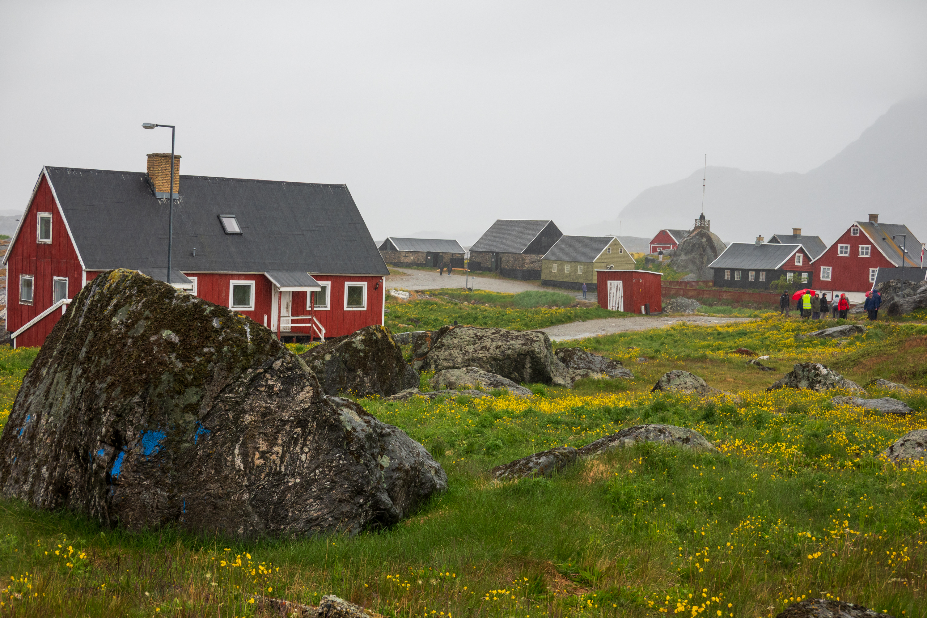
The two towns we visited in Greenland, Qaqortoq and Nanortalik, were both small. Really small. Each had a small museum which provides insights into Viking, Inuit, and Danish history. The houses are all painted bright colors, perhaps as a response to the dark winter and often cloudy summer.
Qaqortoq from the sea.
Most of the current population is Inuit who live from fishing. (https://en.wikipedia.org/wiki/Inuit) The weather was wet and foggy. Despite the weather, there is increasing income from tourism as ships make it easy and comfortable to visit. At least in the summer.
During the Second World War, Greenland was hugely important for air bases for both antisubmarine patrols and emergency landings of aircraft being ferried to England, and harbors for convoys, their escorts, and ice breakers. After the war, the United States maintained several bases in Greenland, now down to one. Greenland is part of the GIUK gap, (Greenland/Iceland/UK) a natural choke point for Russian submarines attempting to enter the Atlantic.
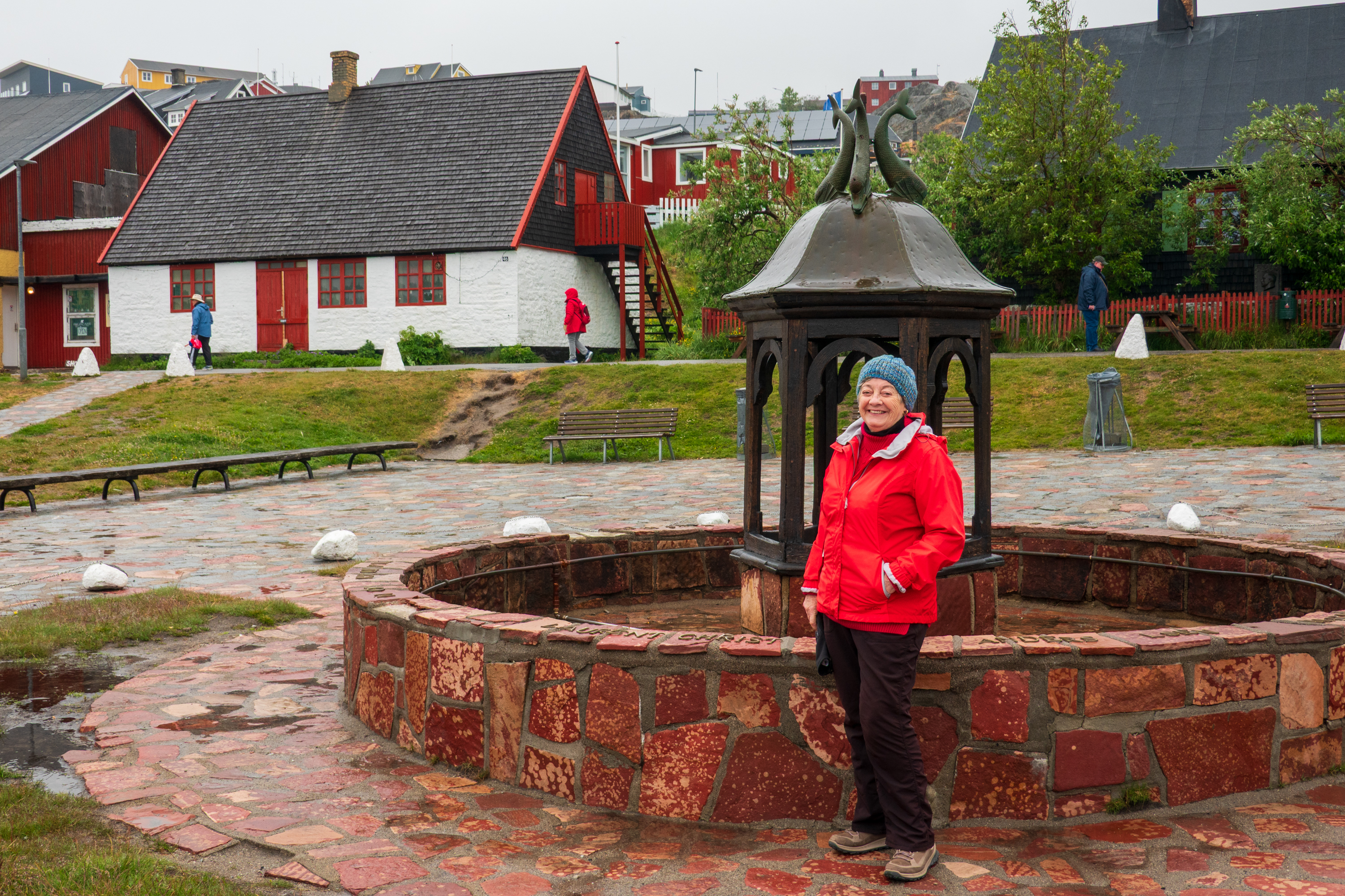
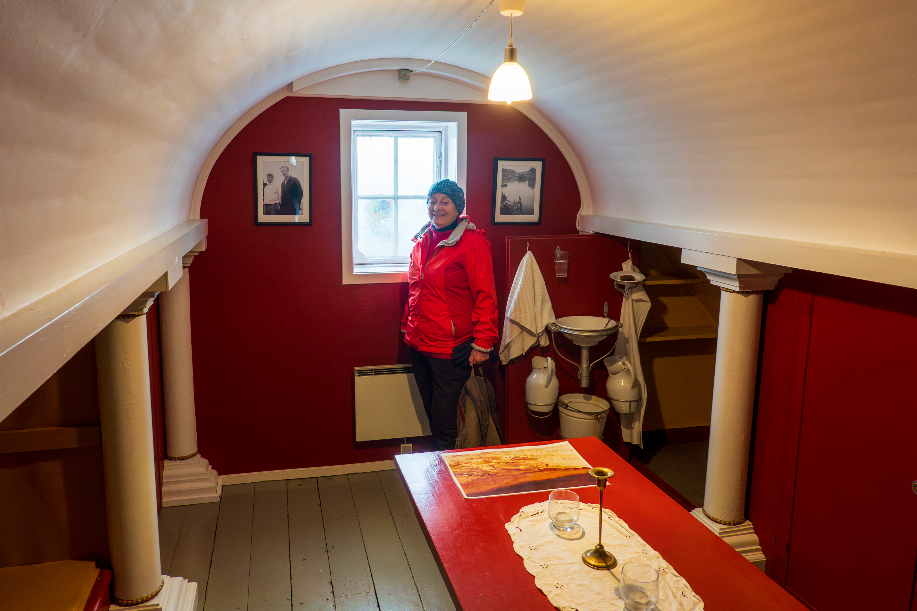
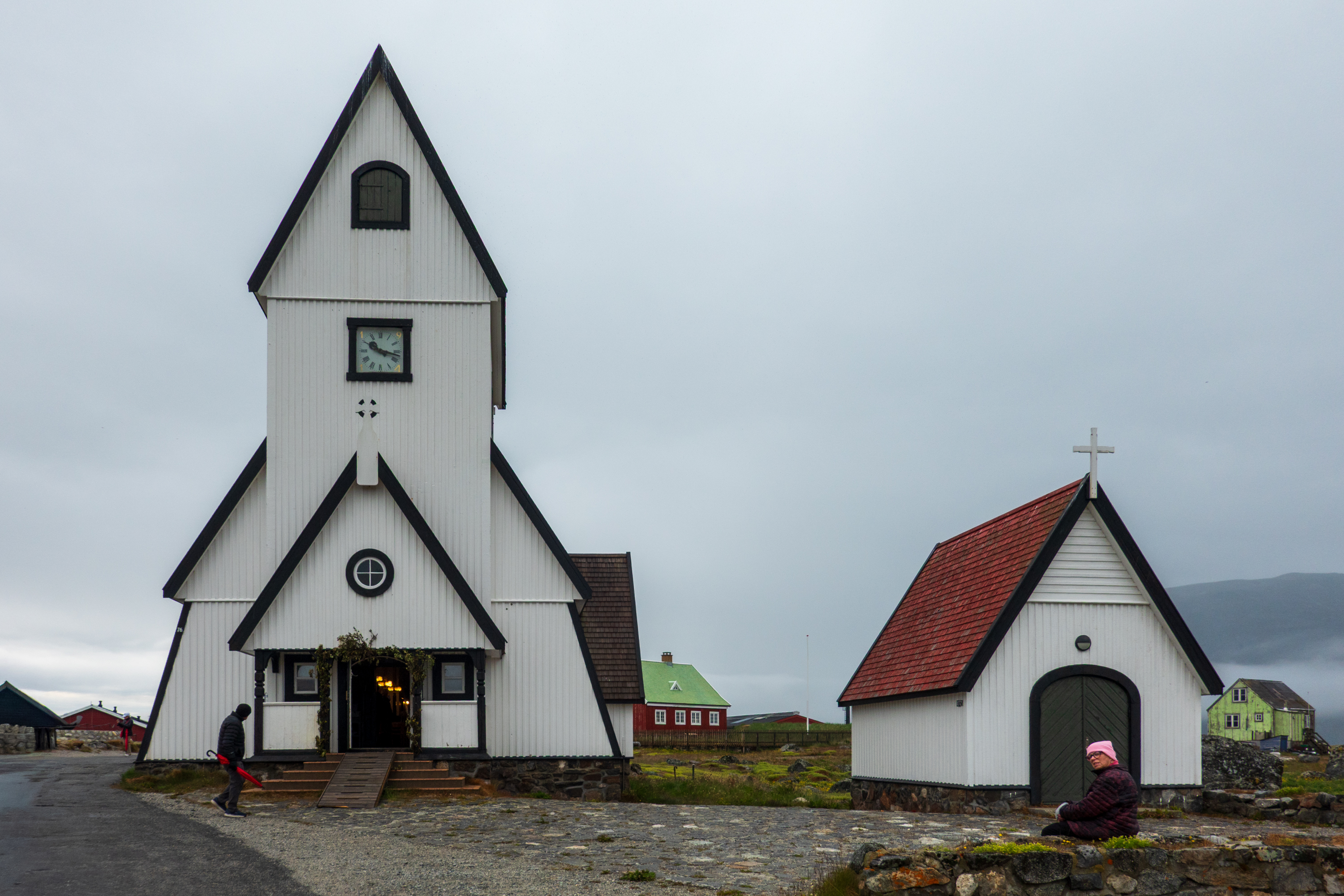
The Qaqortoq Museum, formerly a Royal Greenland Trading Post, dates to 1804 and is the oldest building in all of South Greenland. In the summer of 1933, scouting transatlantic air routes, Charles and Ann Lindbergh spent three weeks in Greenland and one of their stops was the southern town of Julianehaab, now known as Qaqortoq. we visited a reconstruction of a room where the couple stayed.
The Lindberg Room
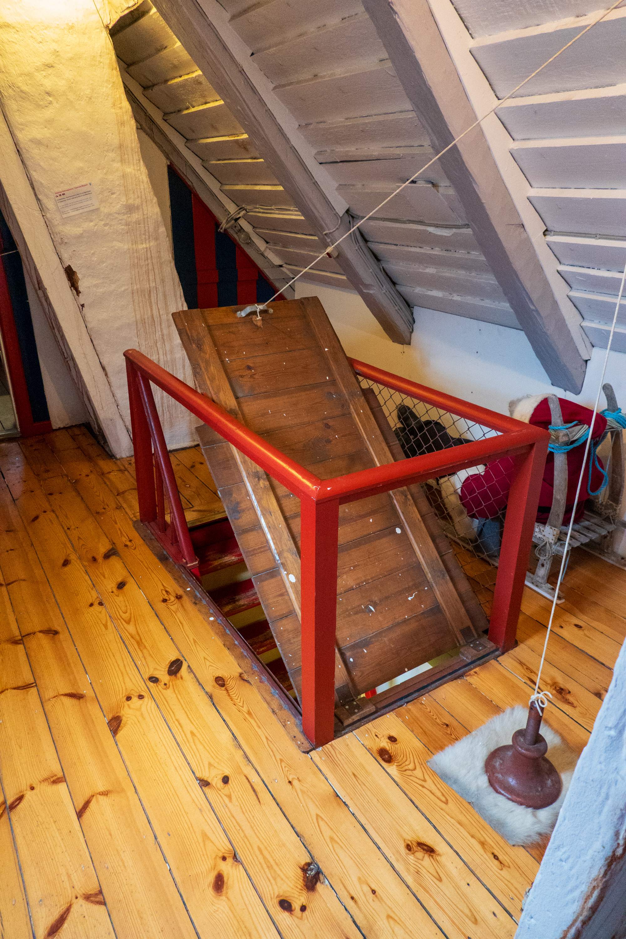
Access up a narrow ladder to this hatch.
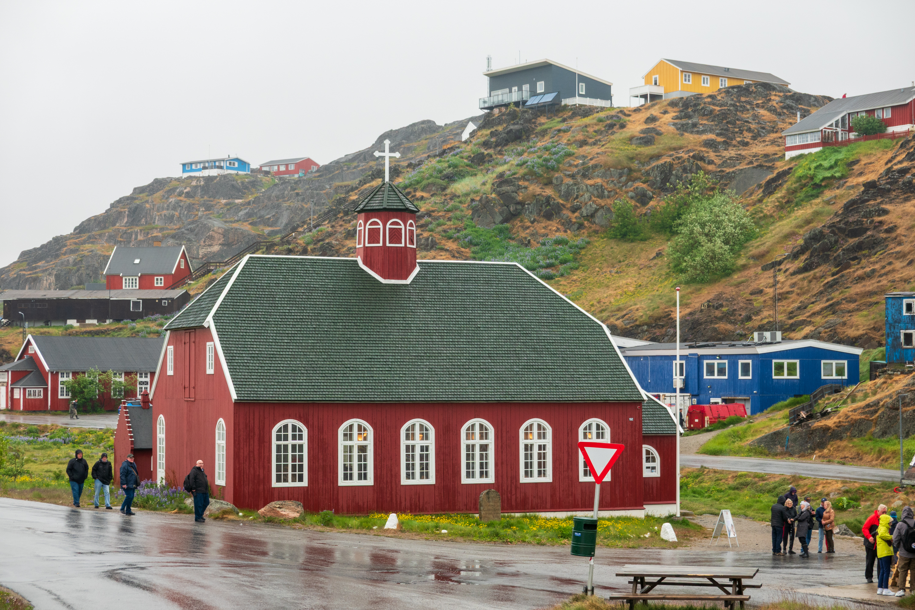
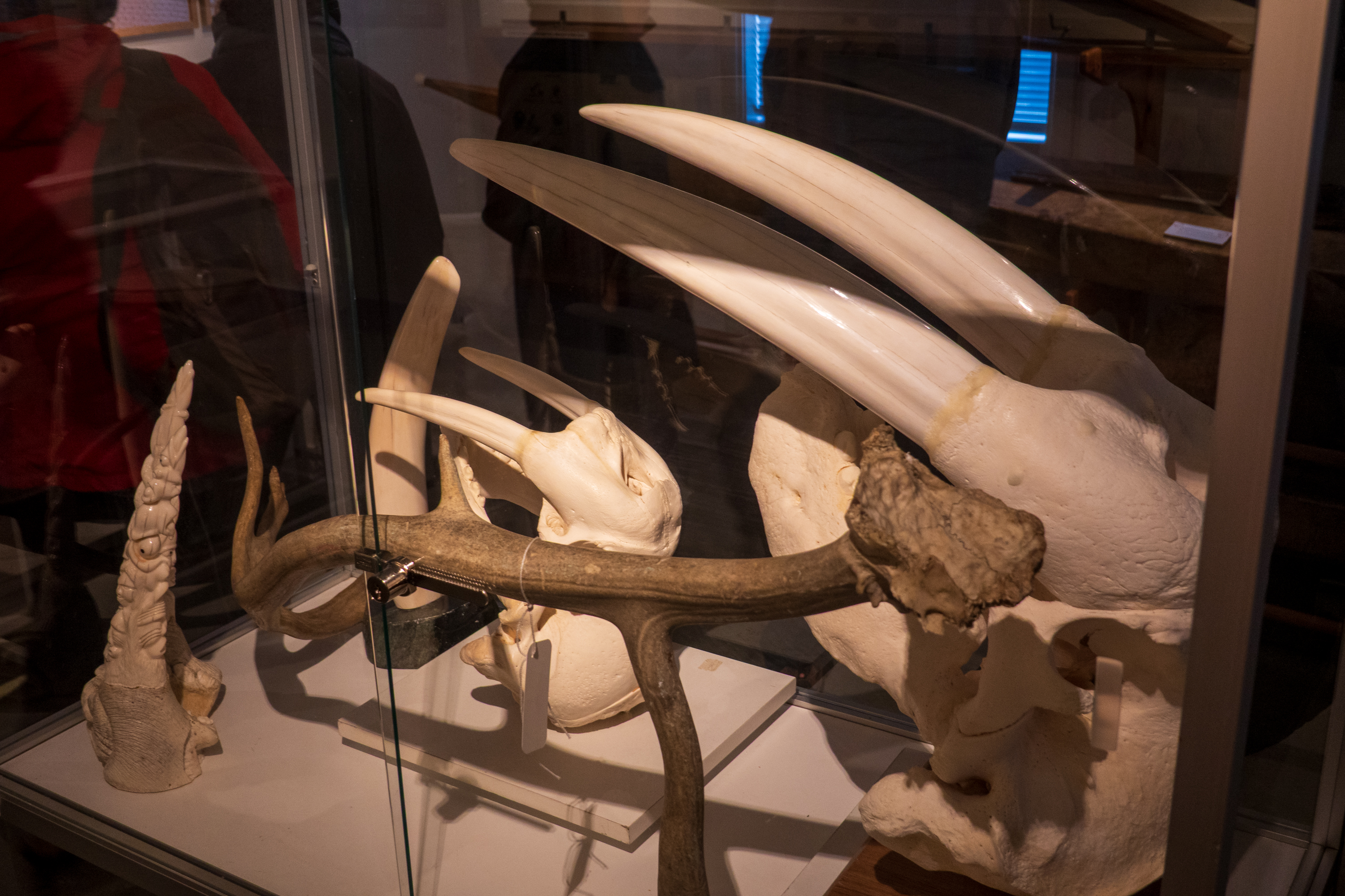
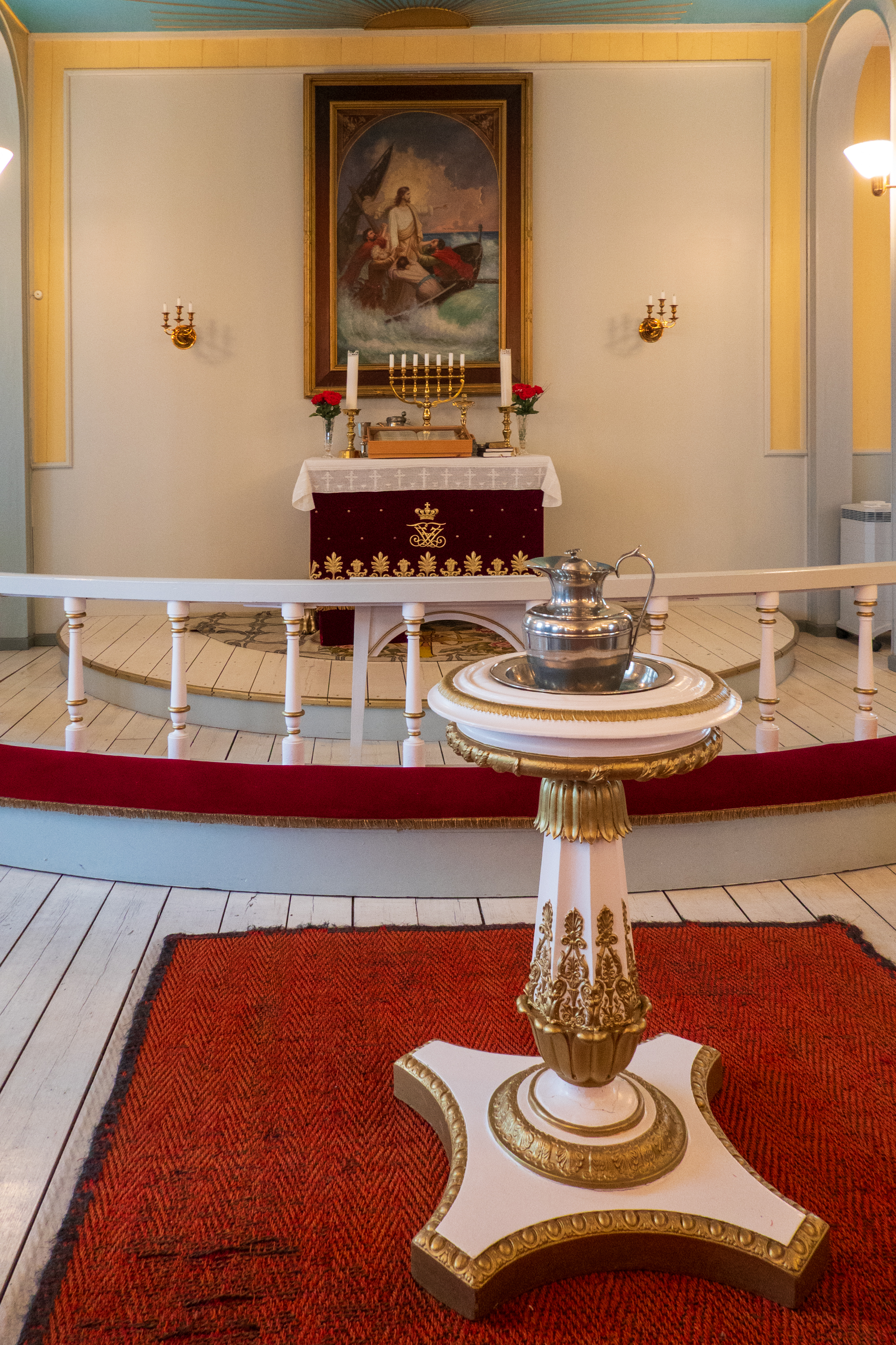
Walrus tusksBaptistry
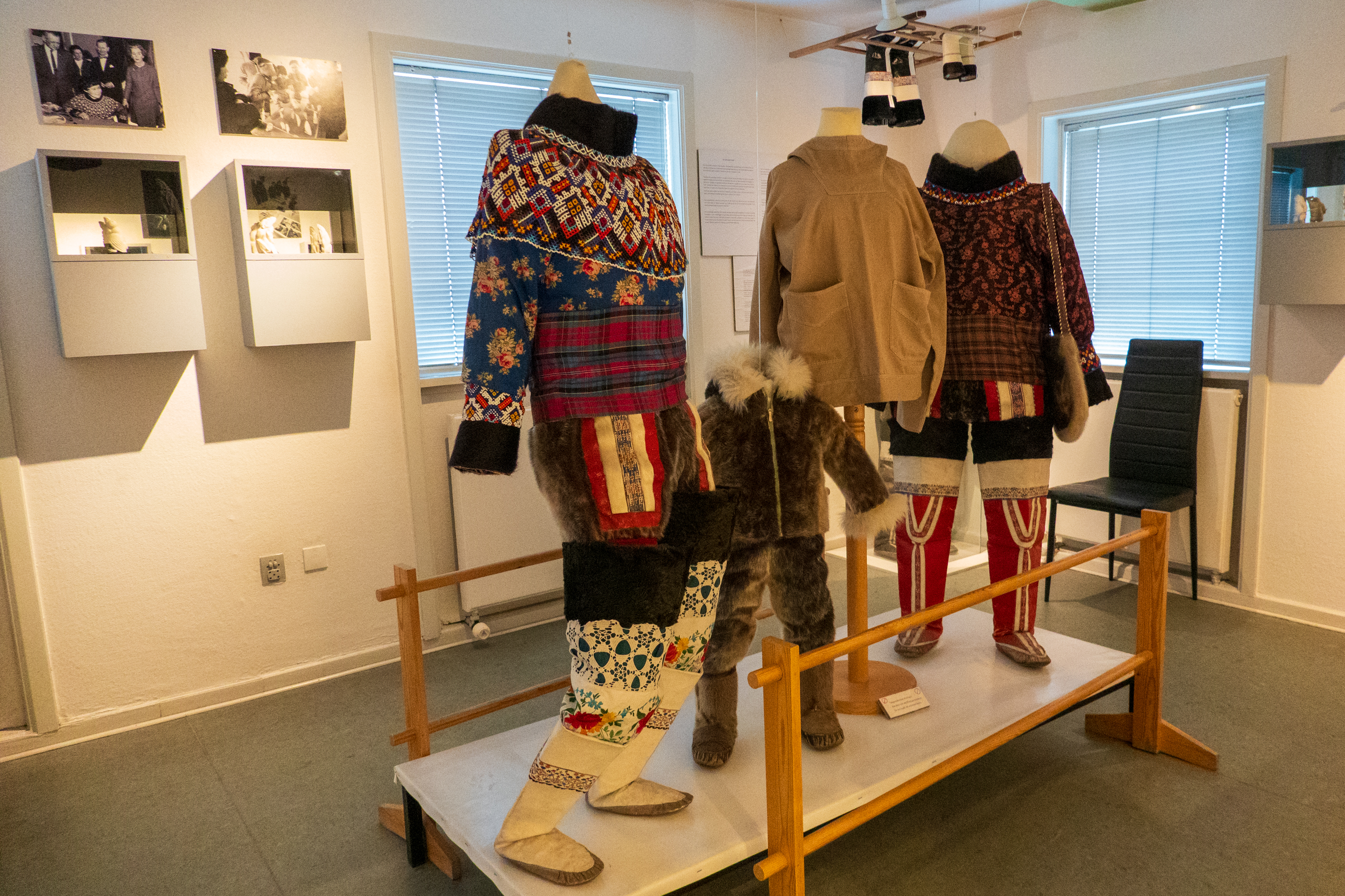
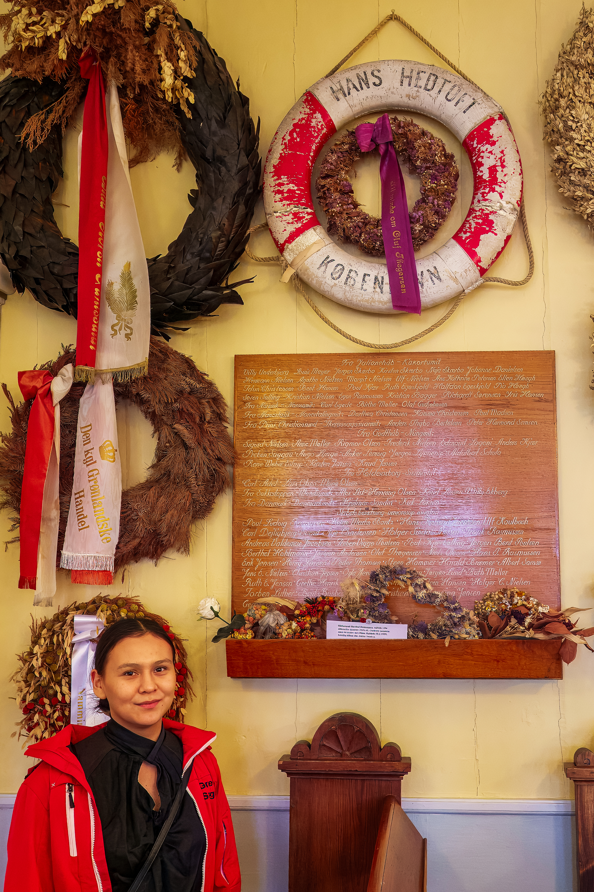
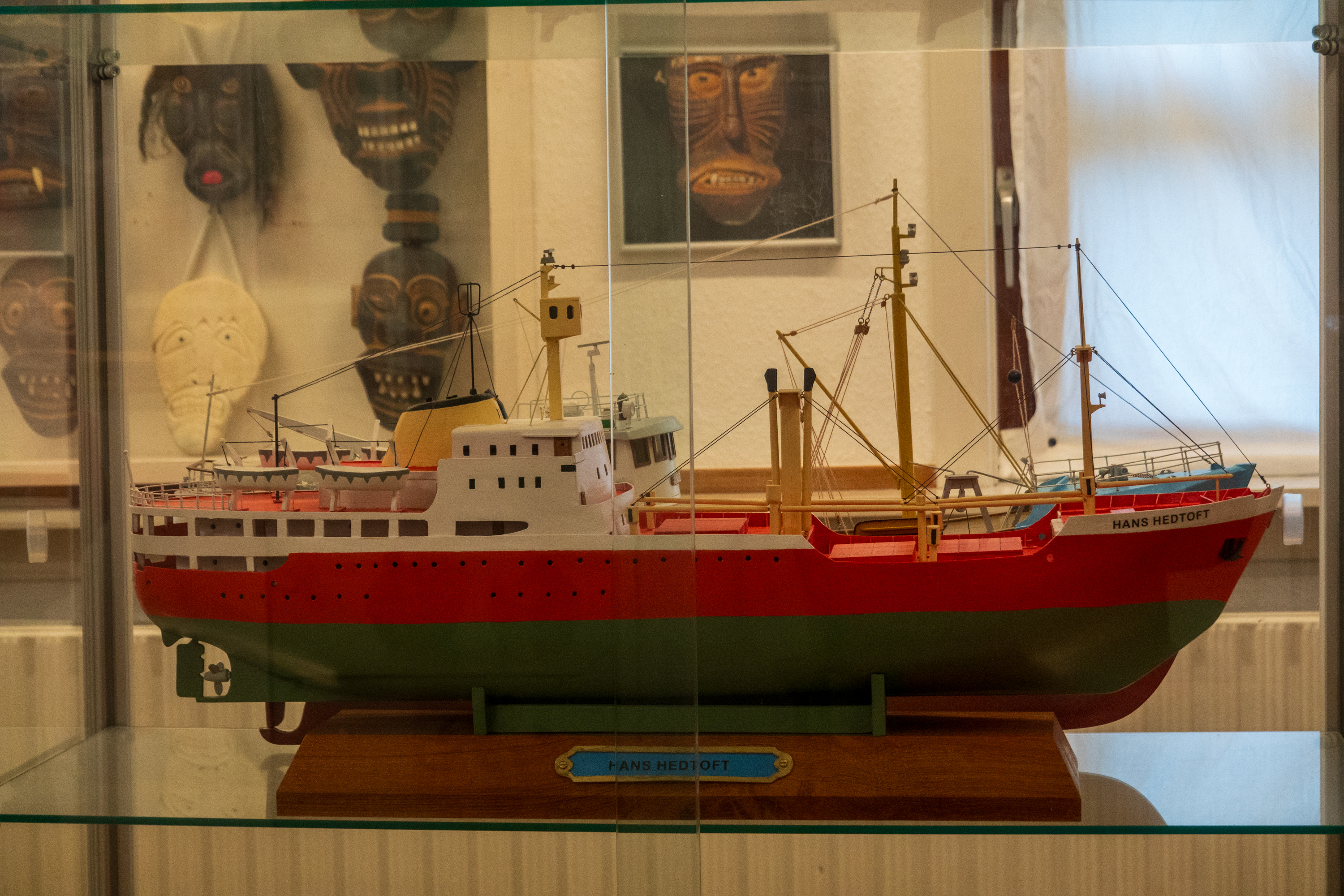
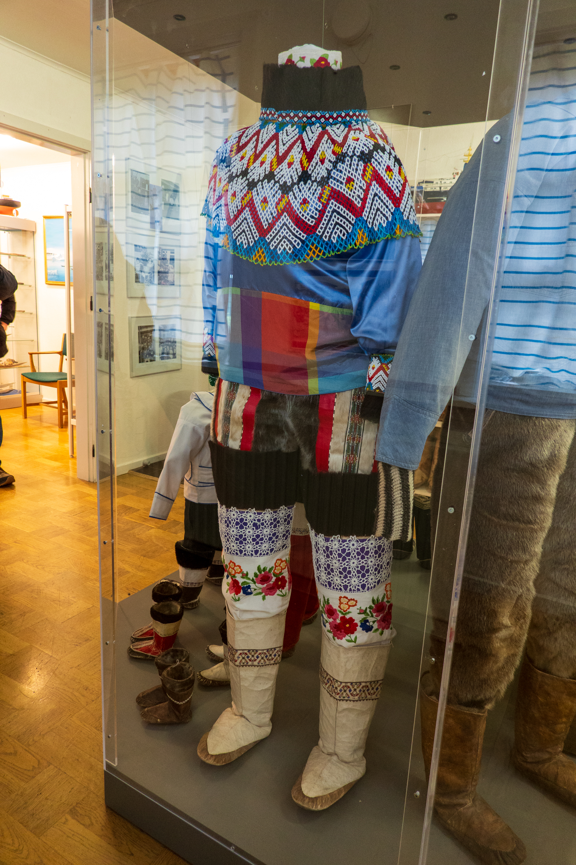
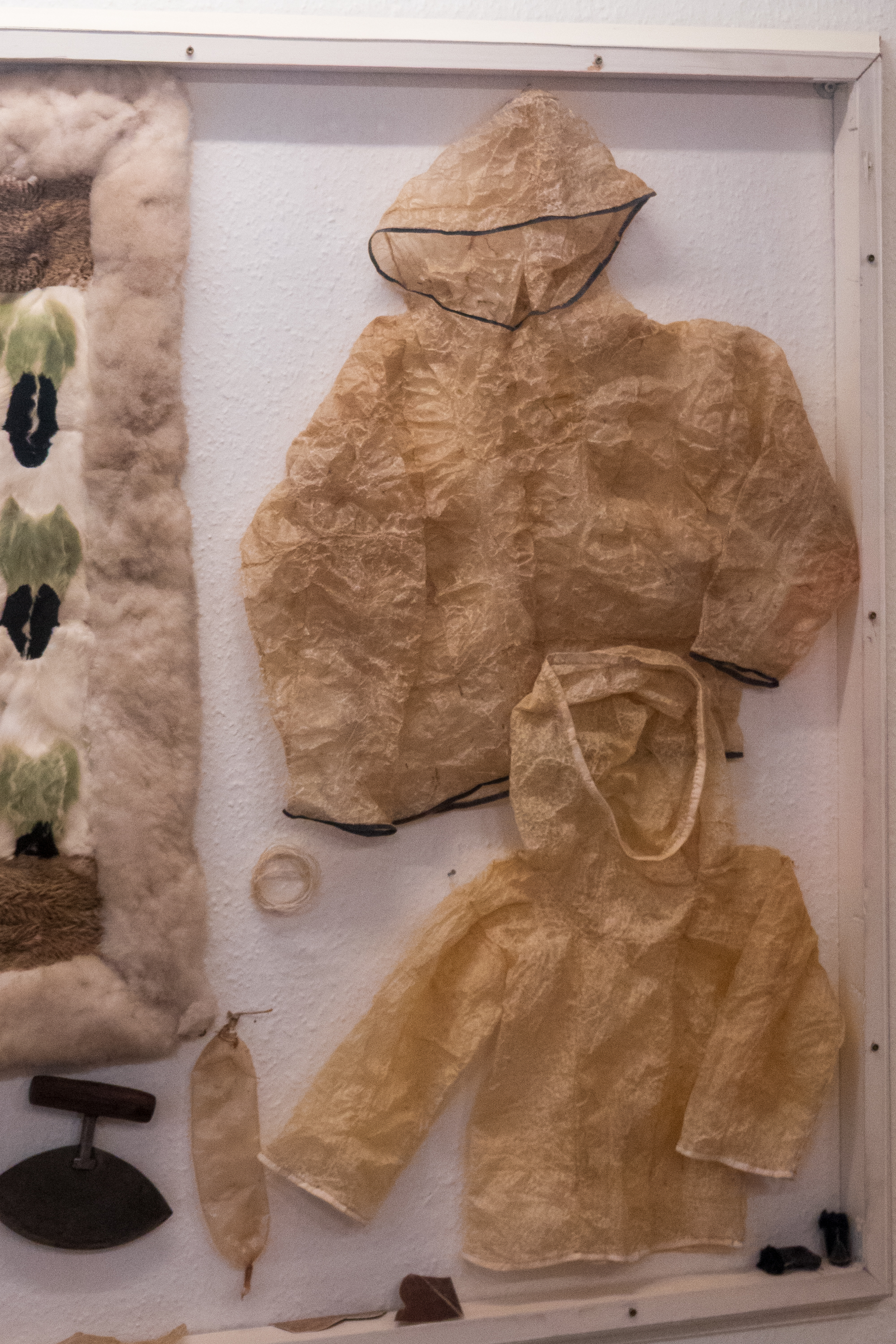
Traditional clothes are warm!Memorial to the lives lost in 1959 when the Hans Hedtoft sank. The life ring is the only thing ever recovered.
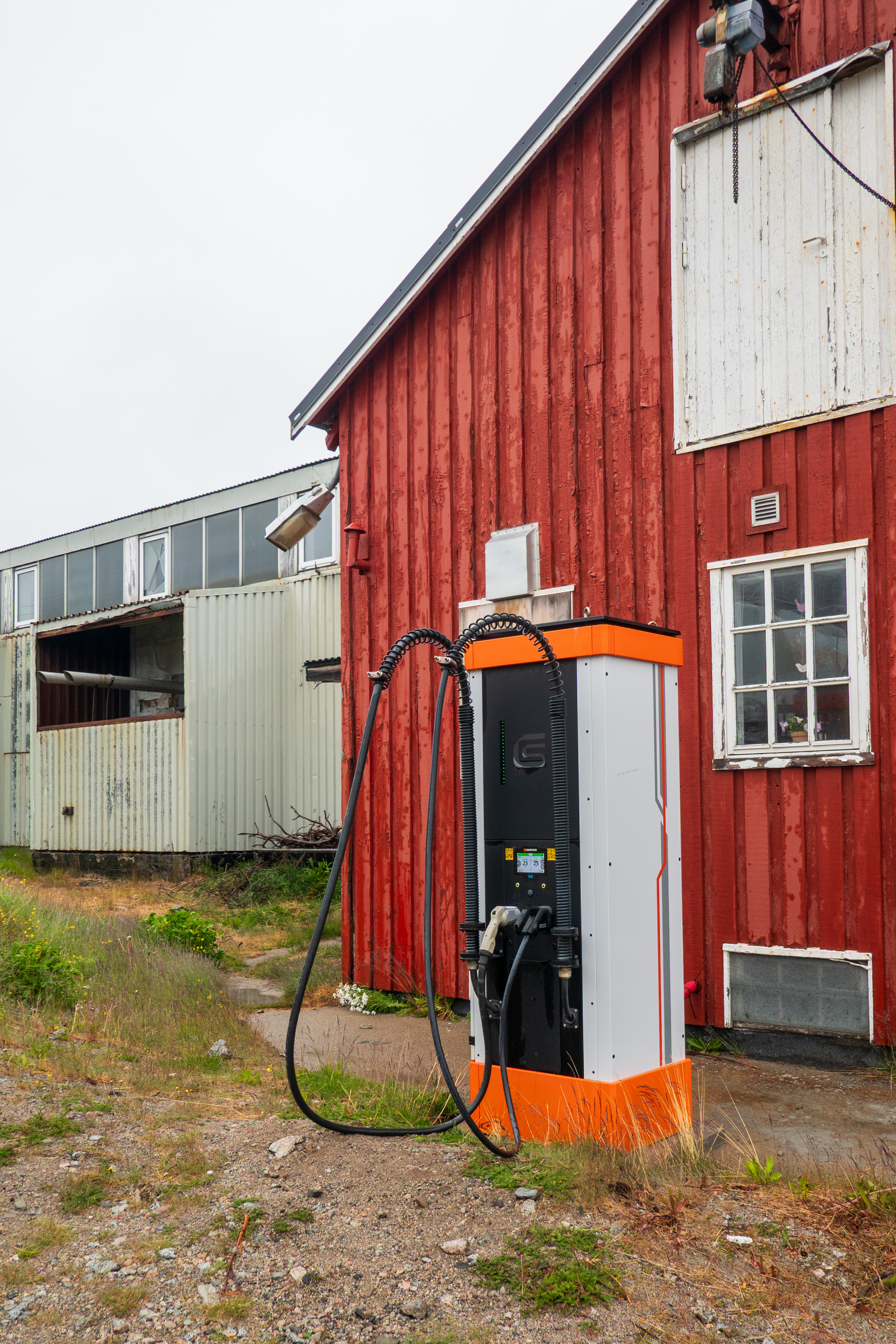
High Speed EV charger. (Everyone knows that EV’s won’t work in cold weather.)
Our next stop was Nanortalik and it was even wetter. In fact we got soaked during our visit! But that did not stop us from exploring the tiny hamlet. The good news was that the infamous Greenland midges did not like the rain any more than we did!
We have been to a lot of places, in many counties, and have always prided ourselves in our adaptability. Here, in Greenland, we had a tremendous feeling that life is REALLY hard and precarious. History records that the Vikings arrived during a warm period and basically abandoned Greenland when the temperatures dropped. We felt a sense of isolation that we never felt in, say, Sahara towns. We were surprised, as we have always considered ourselves very flexible. But Greenland is not on our list of retirement sites.
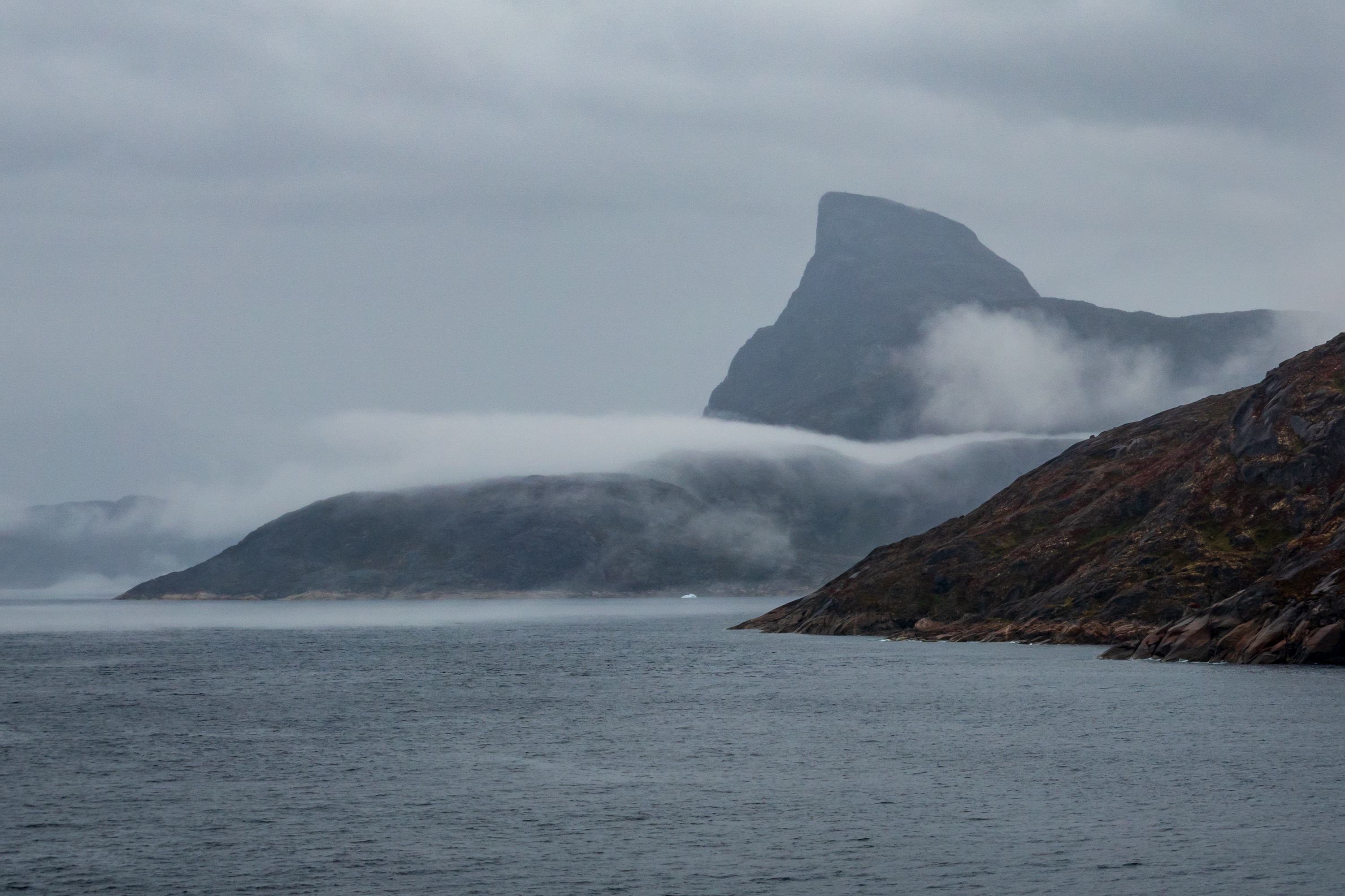
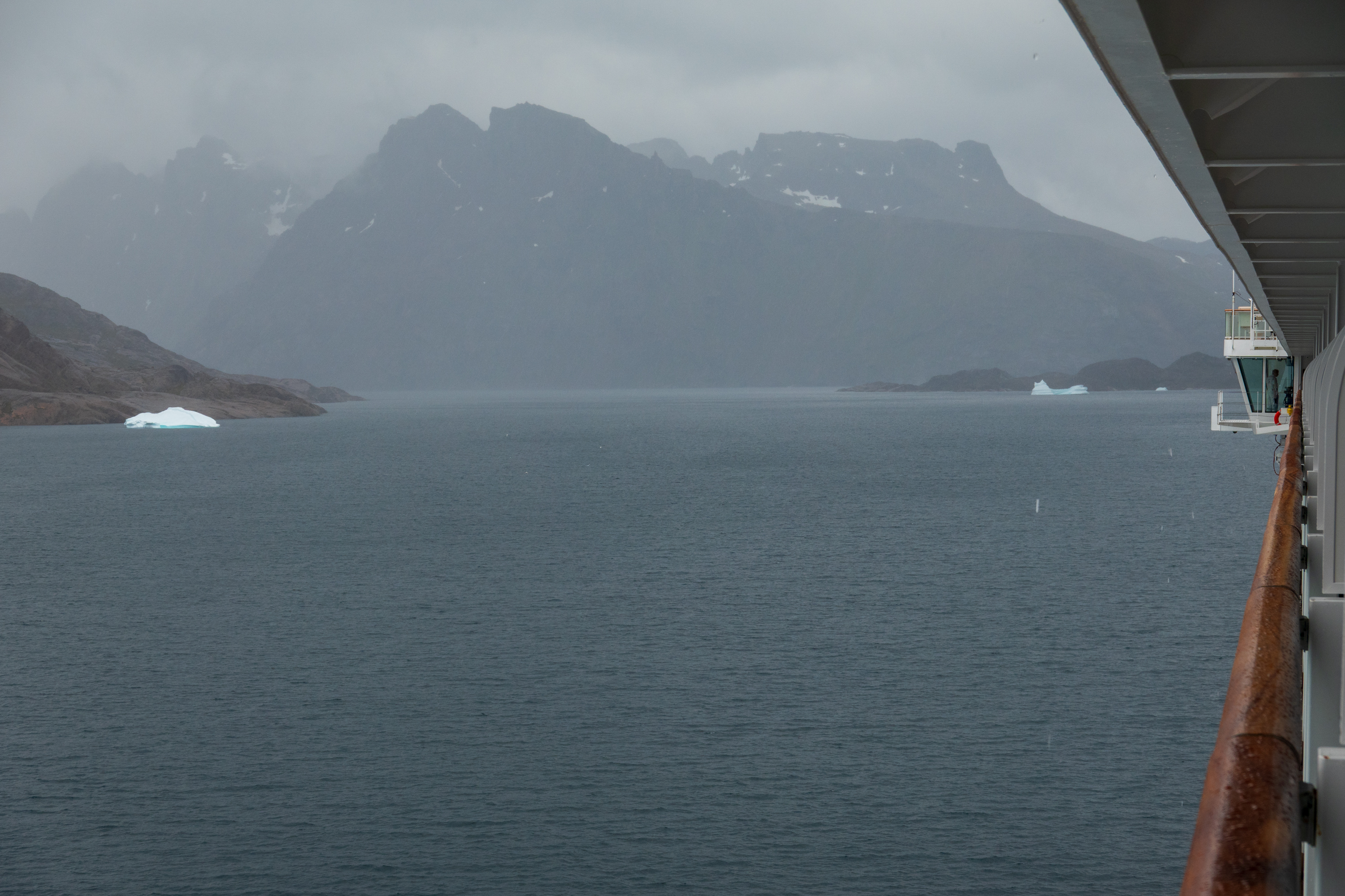
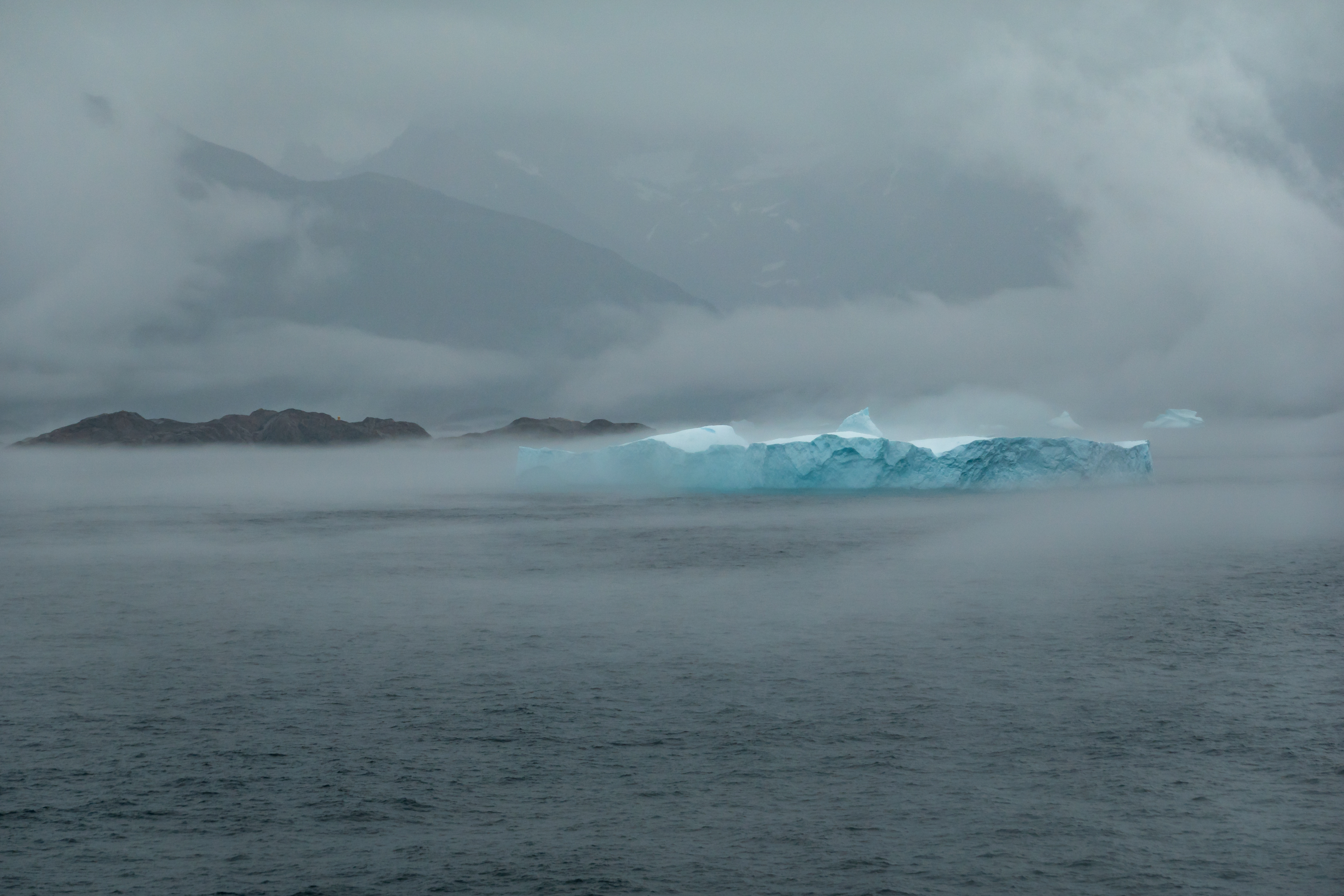
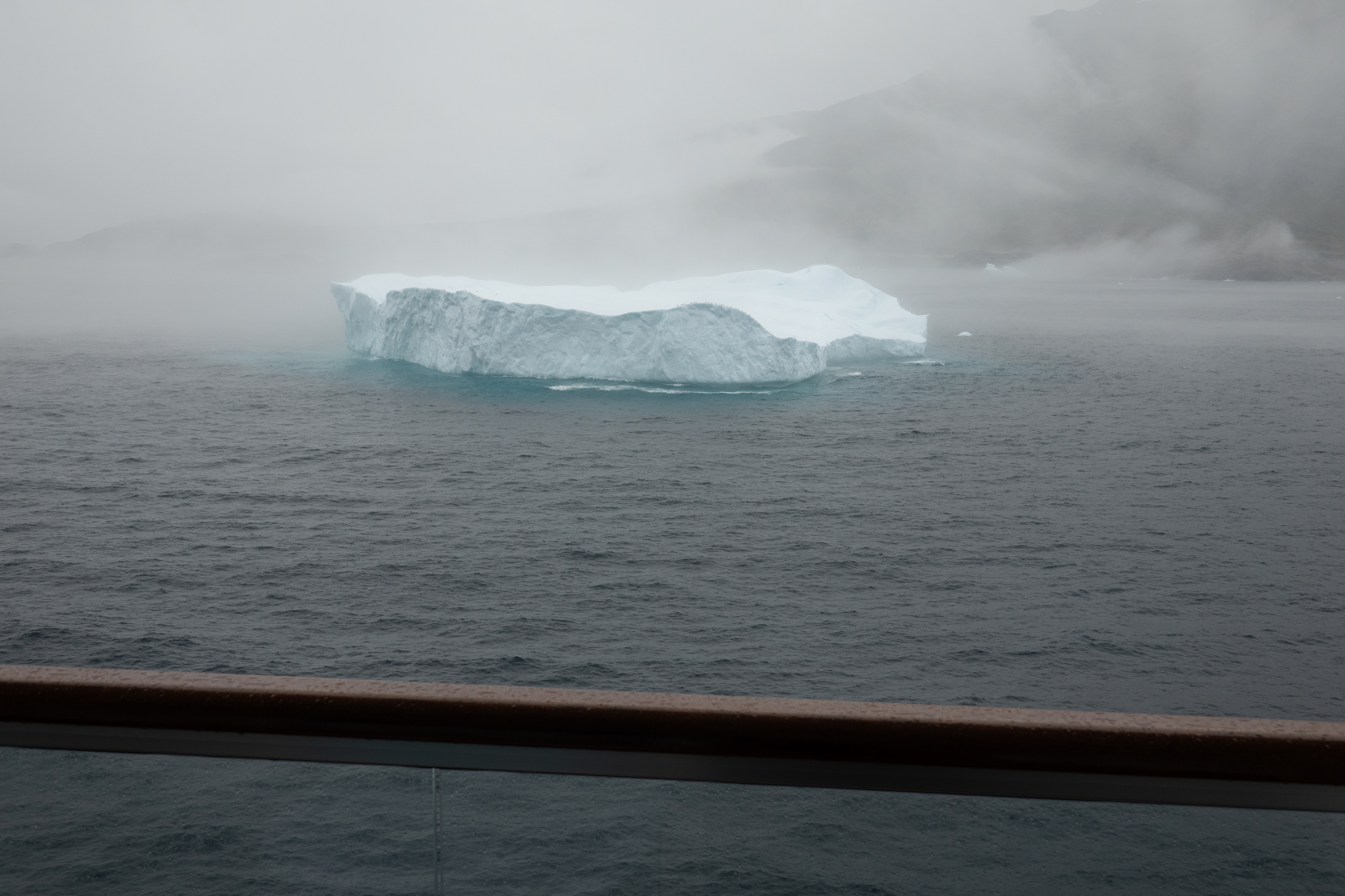
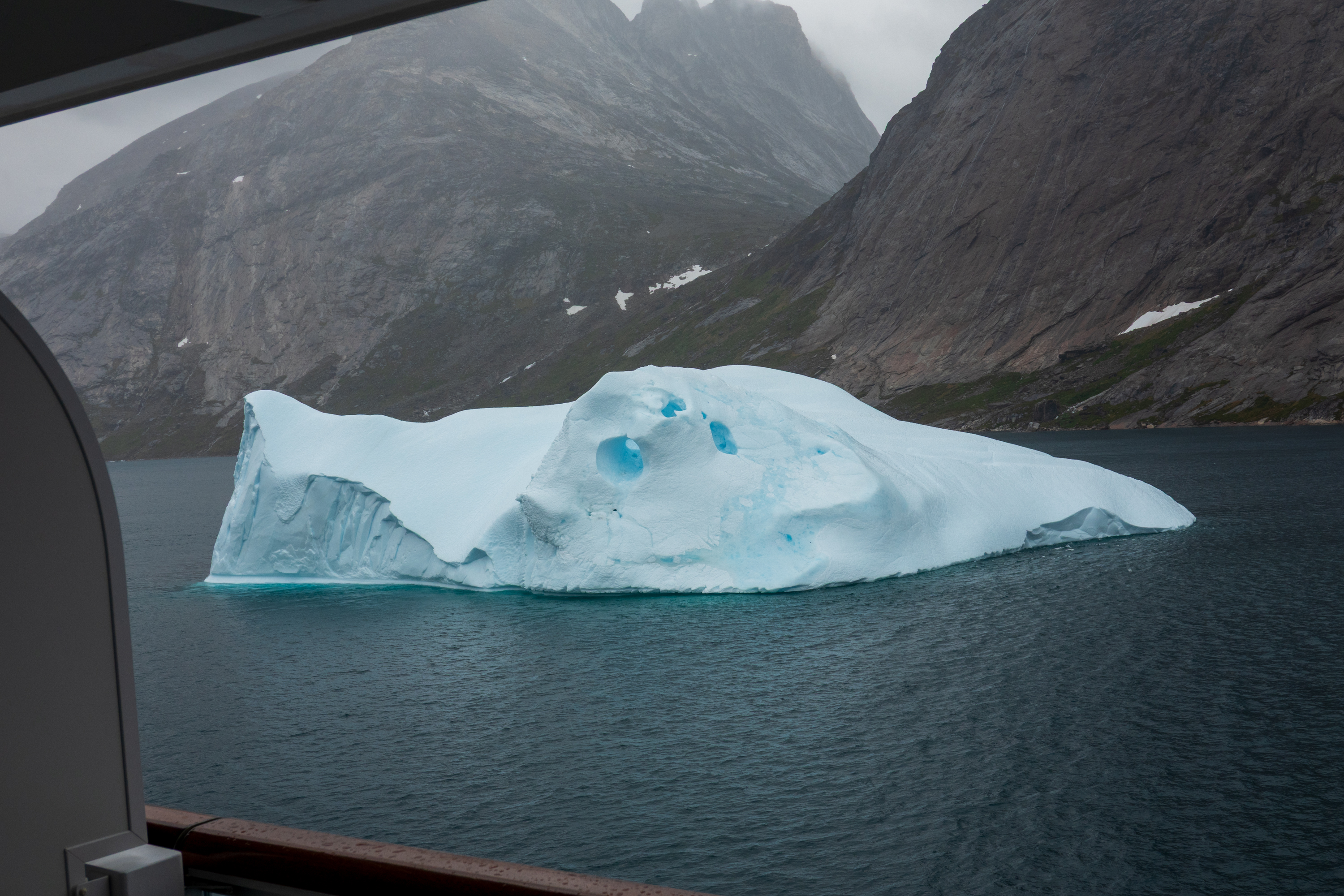
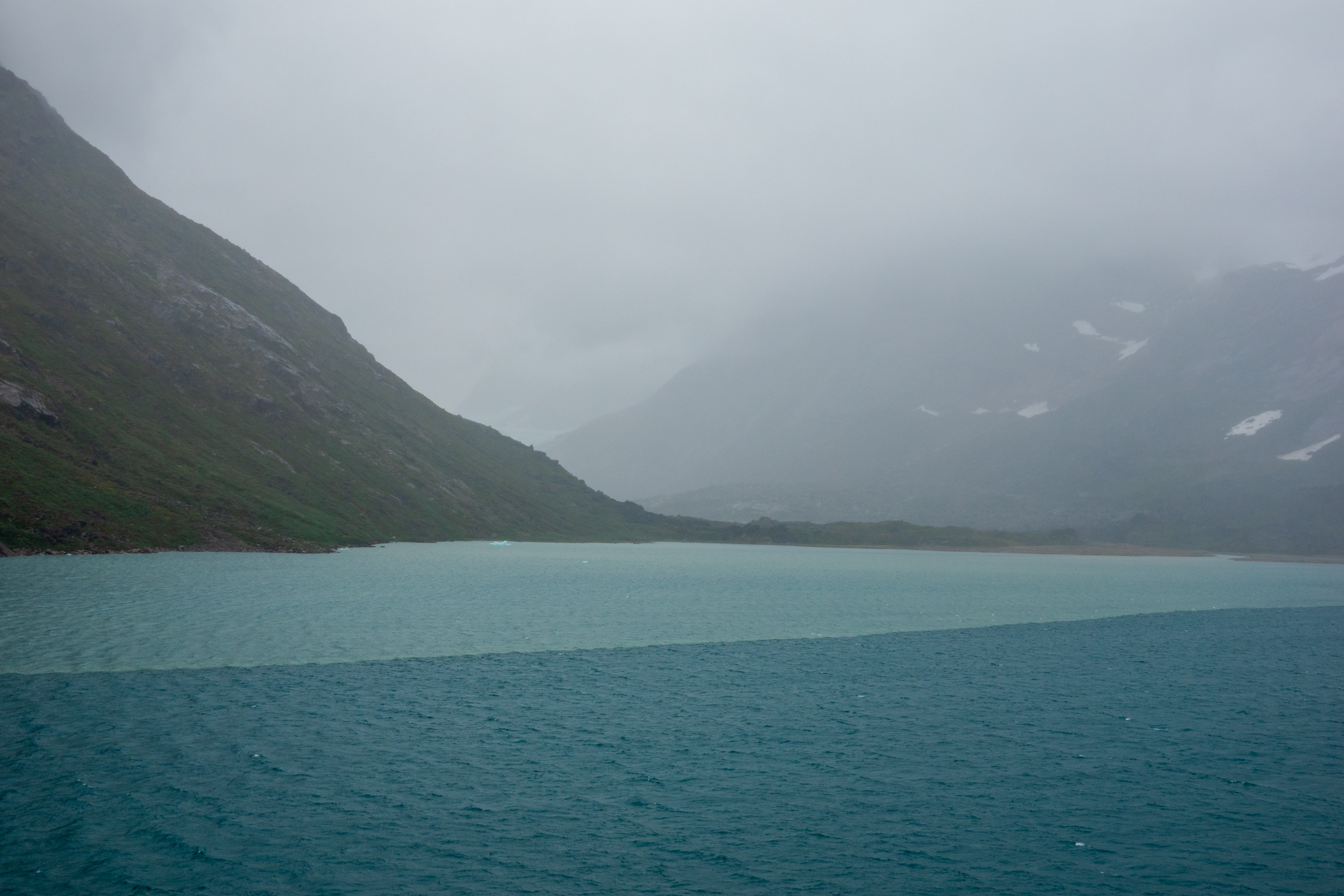
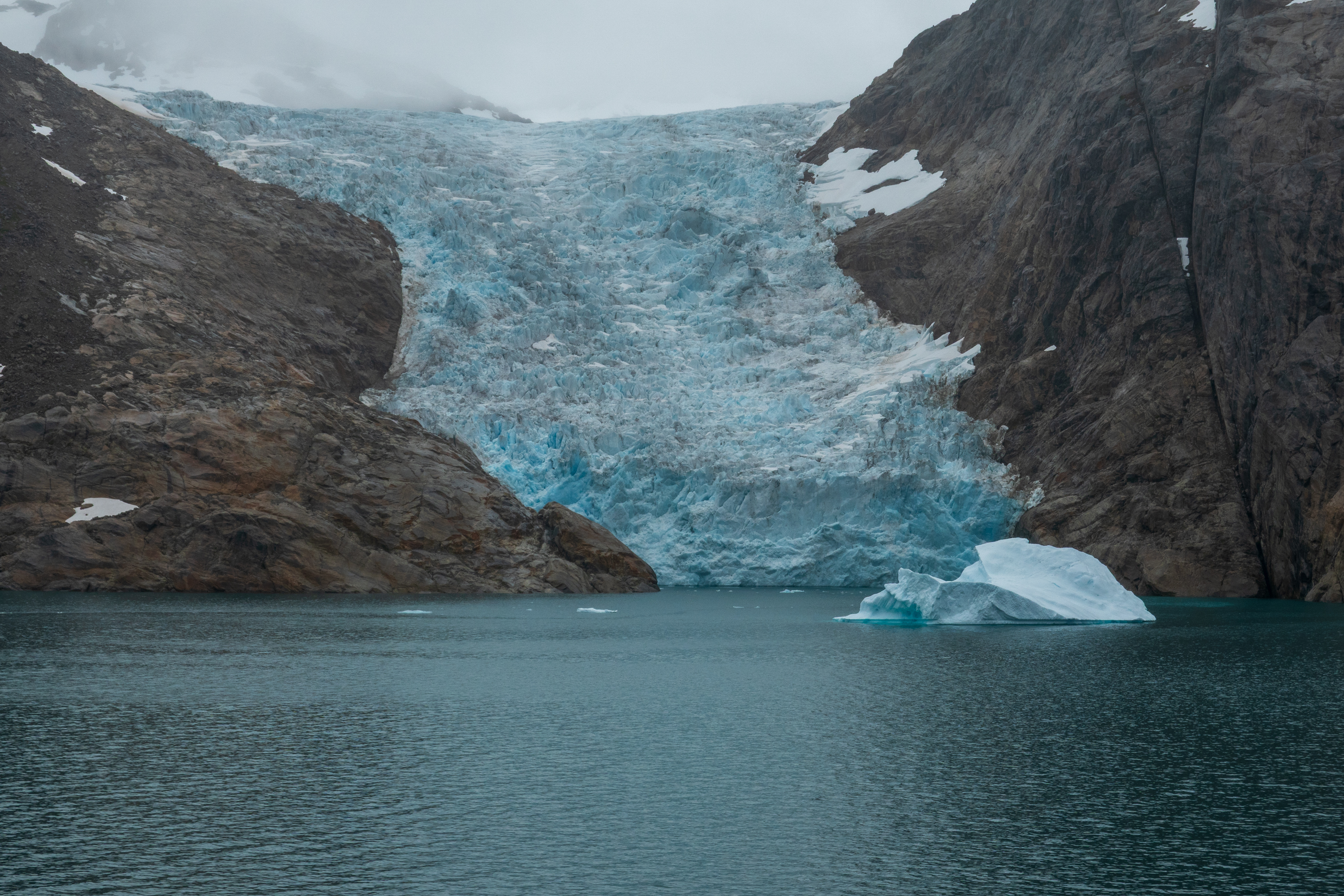
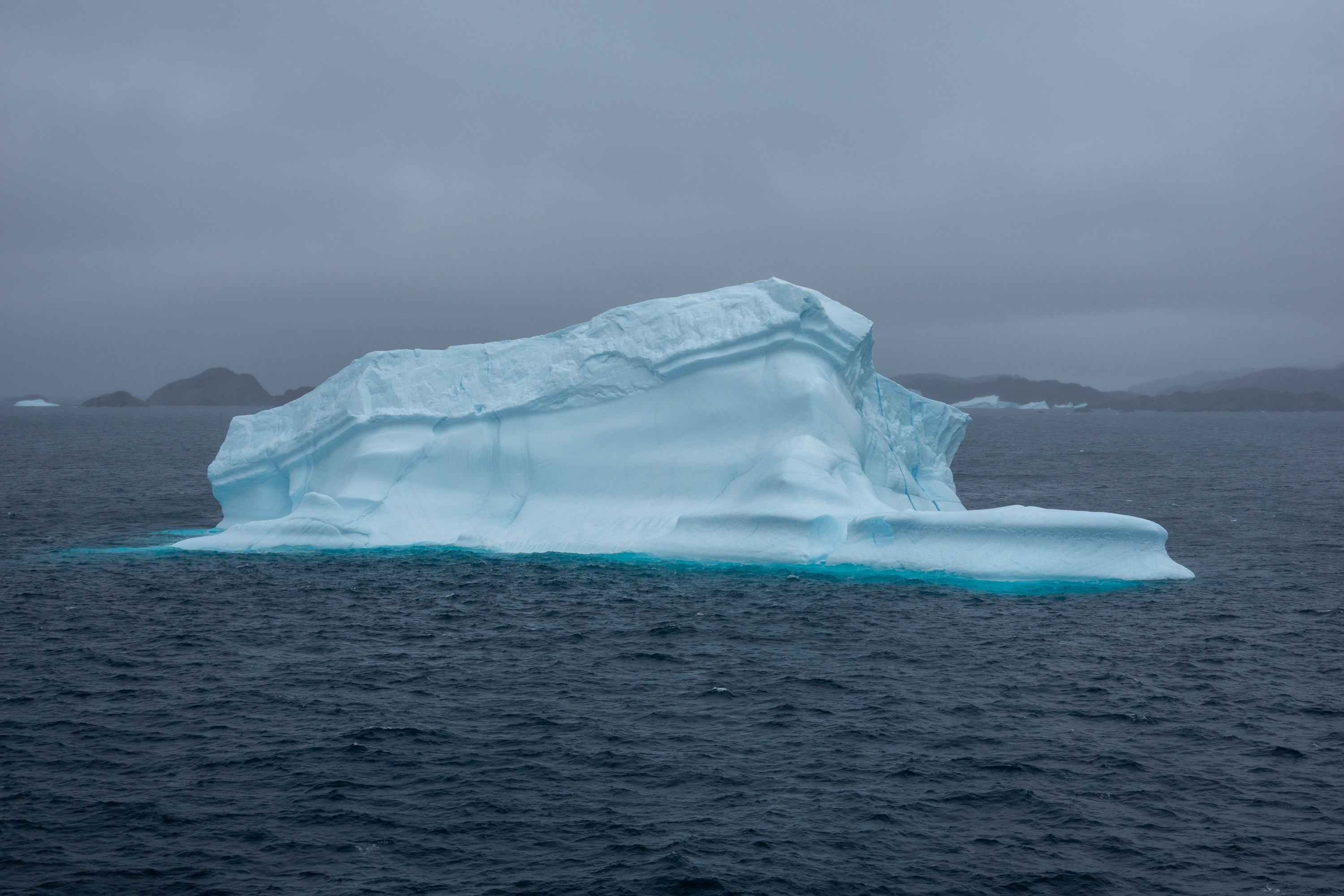
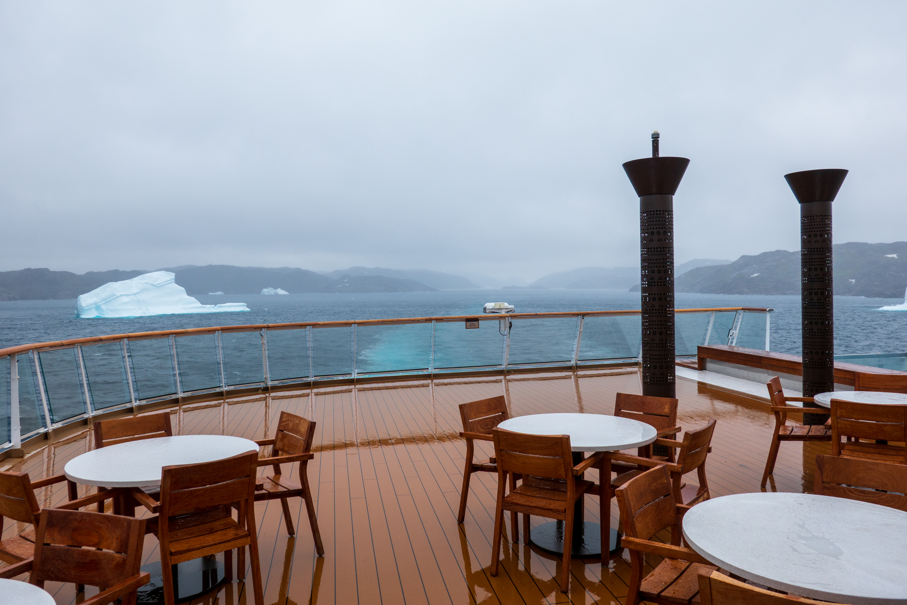
Leaving Nanortalik, we sailed the fabulous Prins Christian Sound channel.(https://en.wikipedia.org/wiki/Prince_Christian_Sound) Only passable in summer, it provides an alternative to the often stormy waters below Cape Farewell. (See the mentions of the sinking of the Hans Hedtoft.) Fans of Alaska’s Inside Passage will love it as it provides amazing sights of waterfalls, glaciers coming down to the fjords and narrow passages. Very dramatic and spooky on a cloudy day. We watched one of the glaciers calf icebergs and even saw some whales.
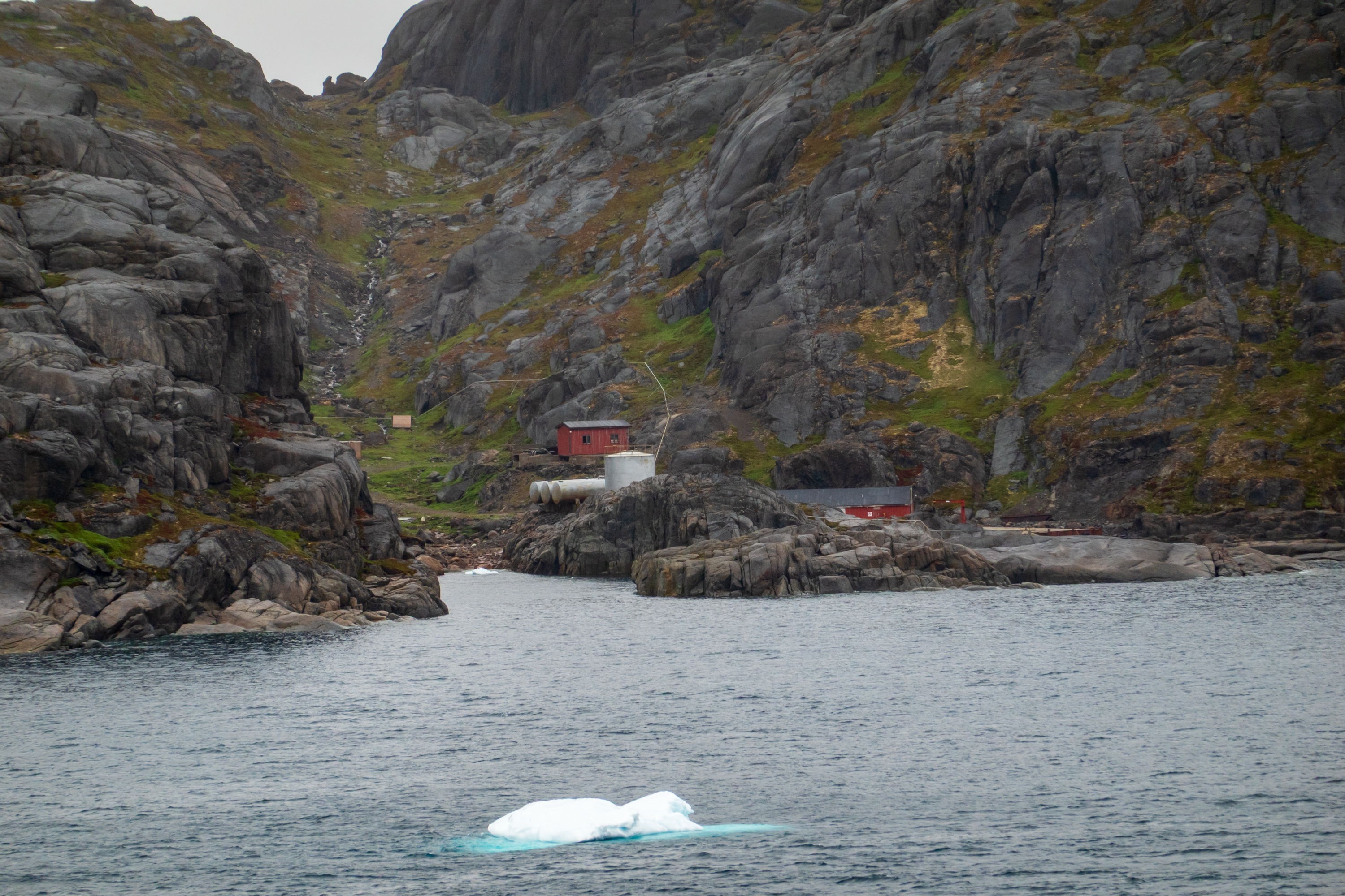
Bluie East One was a weather station located at the entrance to the Prince Christian Sound near the southern tip of Greenland. It was built by the US military during WW2, for the purpose of providing weather data. It remained in use for the same purpose after the war, and is jointly run by the International Civil Aviation Organization and the Tele Greenland today. It is now totally automated, but back in the day, people had to climb the hundreds of steps up to the antennae on the mountain top.
A last view of the sound and Greenland.
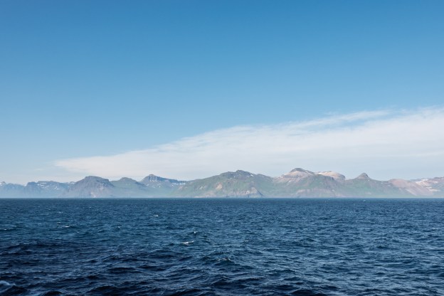
Back in the Atlantic again, we sailed a day of flat calm seas to Northern Iceland.