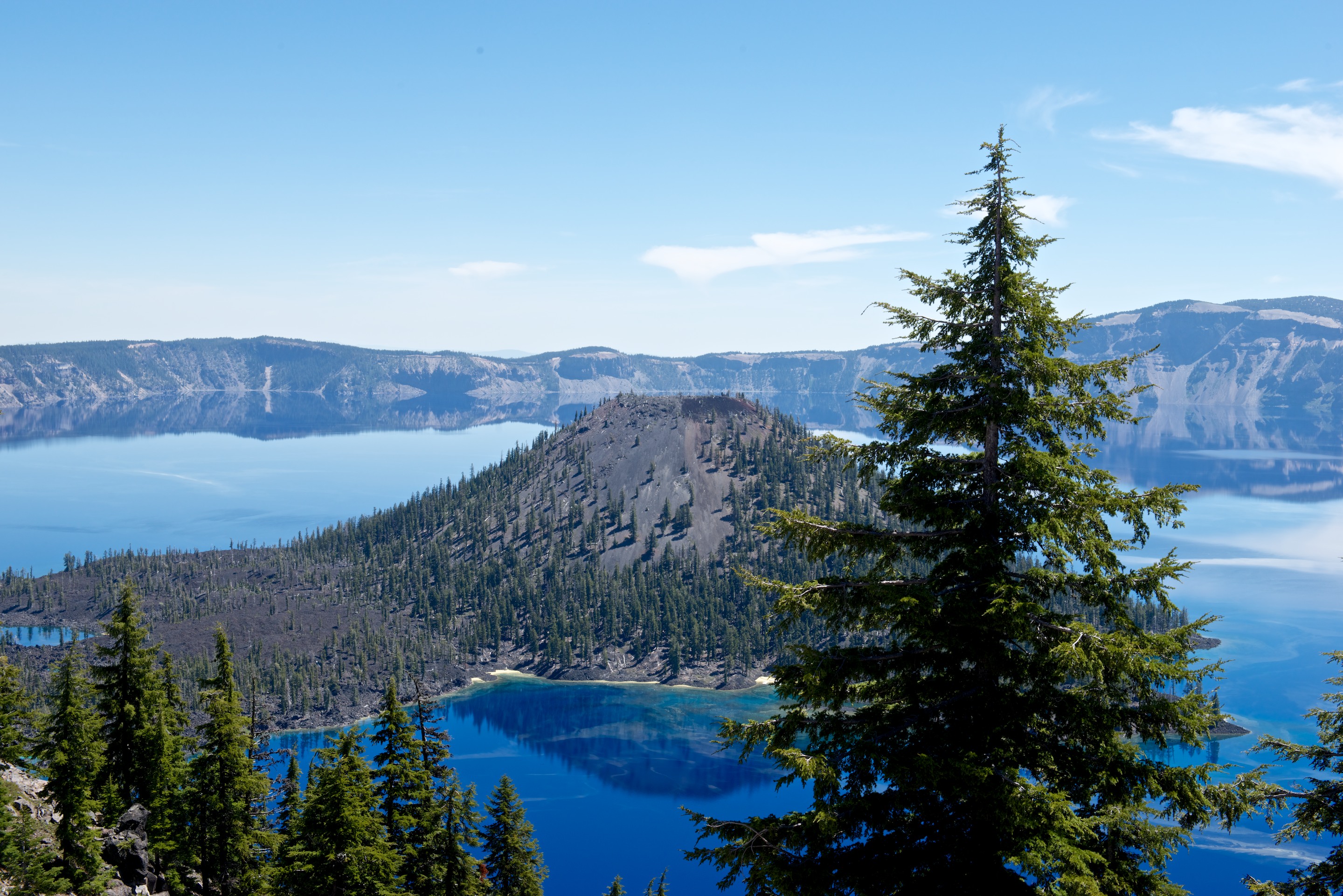
For those of us who dream of great both-ways-round-the-world overland trips, Overland Expo (http://www.overlandexpo.com) is always a lot of fun. Sure, most of the folk who attend are really just four wheelers, but some are world travelers and, through round tables and other presentations, there is always the hope that we can persuade more Americans to be a bit less insular and combine their love of 4×4 with world travel.
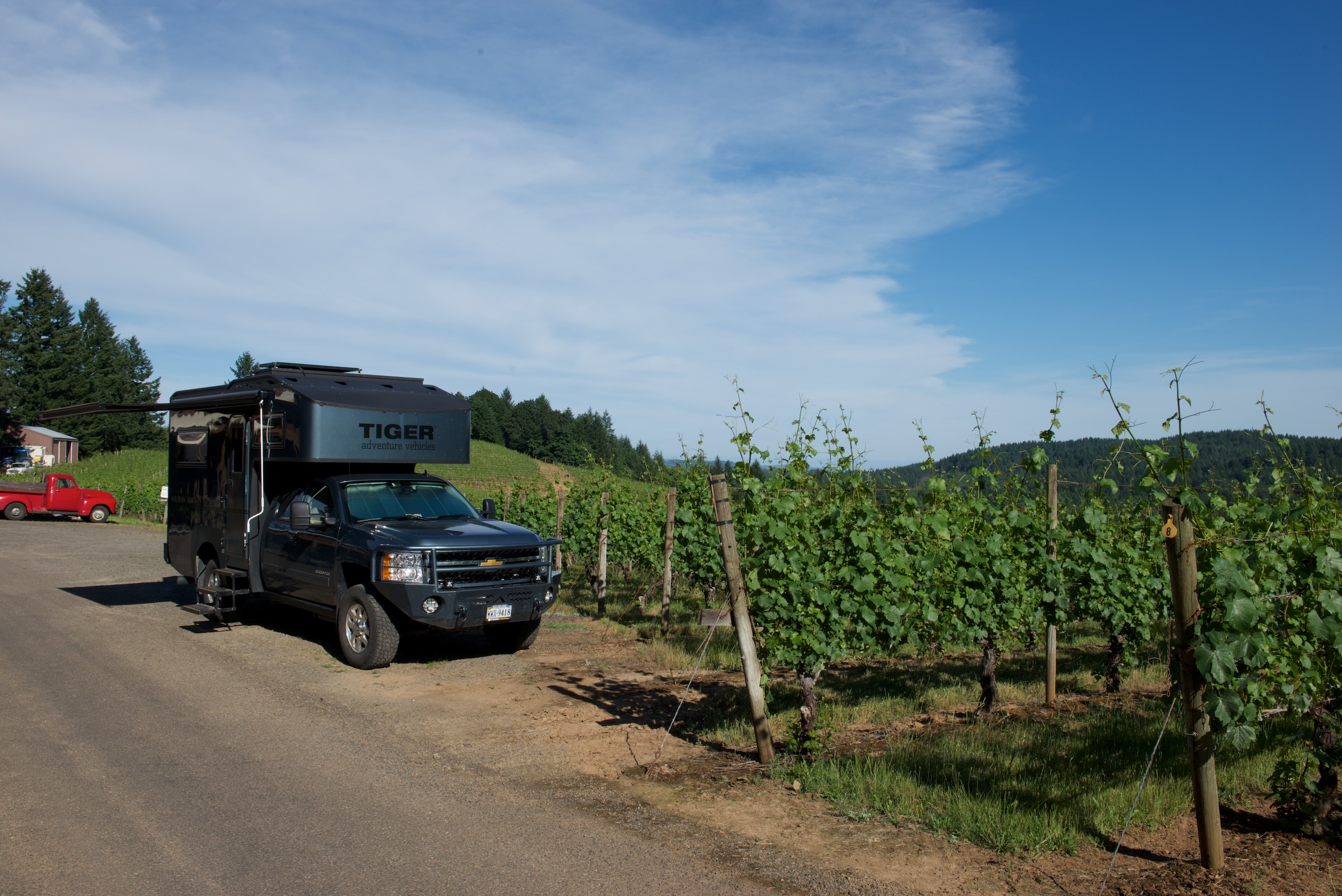
Fred gives various presentations on travel and RV electrical issues and has moderated and participated in round tables on Africa, South America, border crossings, and other issues. Most of his presentation materials are under the “Documents” page of this site and can be downloaded. (Feedback and discussion always welcome.)
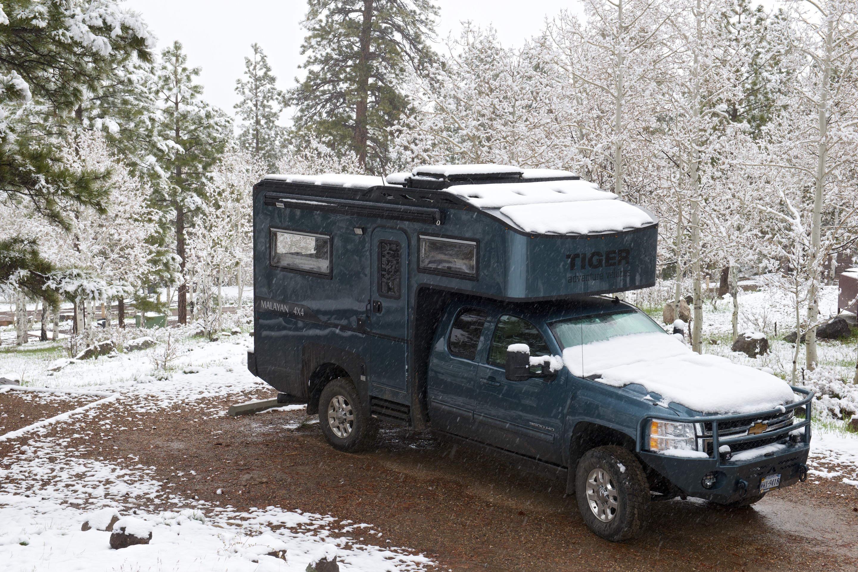
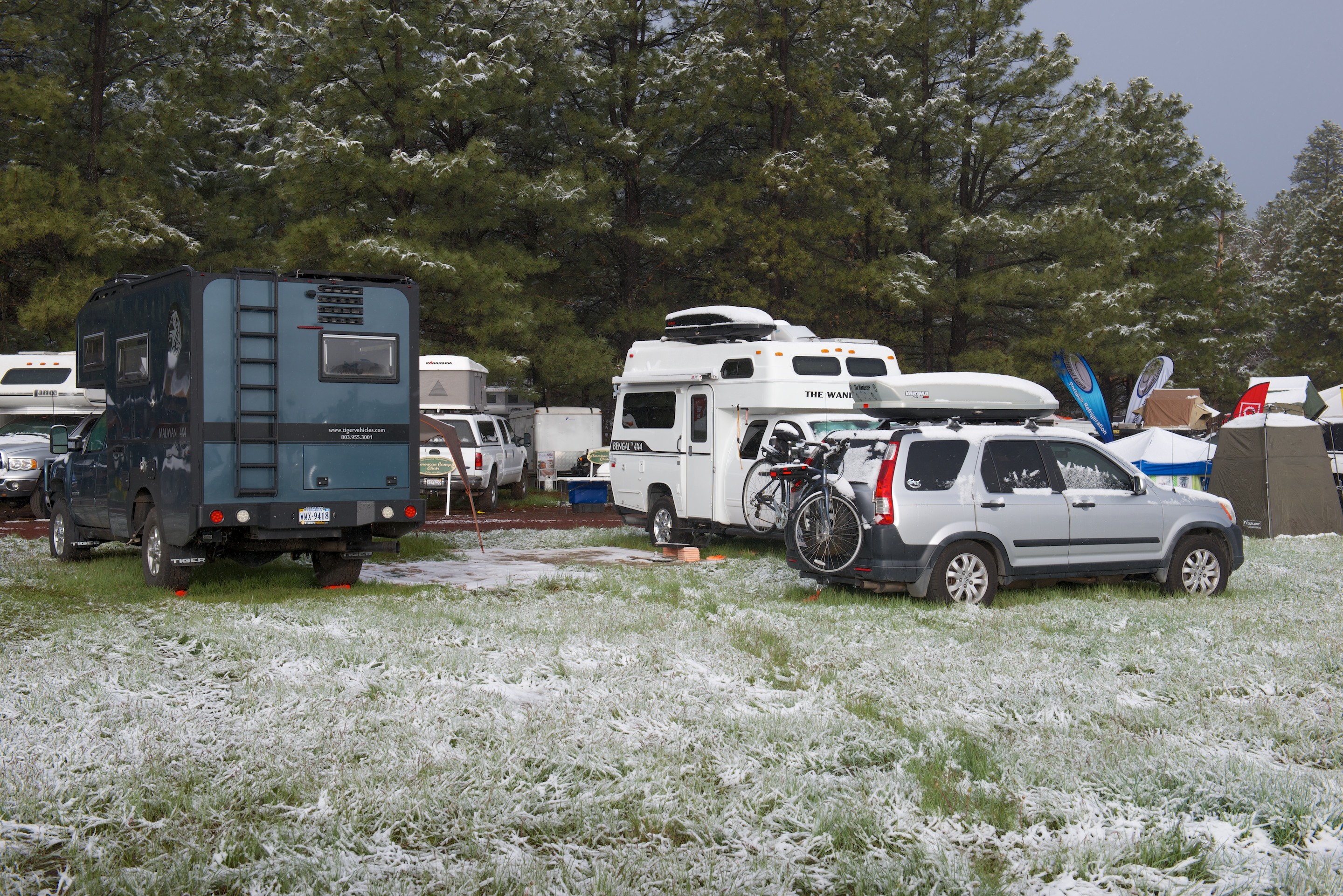
This year Overland Expo West was dubbed “Snoverland Expo” because a May snow storm turned Mormon Lake into a giant mud pit. (Took us several cleanings to make the floor of the Tiger acceptable.) After that, we were looking forward to the colors and crisp Fall weather of Overland Expo East in Asheville. We did, however, take the precaution of buying a mat for the Tiger.
Rather than simply tanking down the motorway, we routed ourselves via the Outer Banks to visit aviation history with the Wright Brothers, to give Denise the opportunity to walk on the beach, and to gorge on seafood. (Essential pre-trip reading: http://www.amazon.com/The-Wright-Brothers-David-McCullough/dp/1476728747) We didn’t have constant, bright sunny weather – there was a huge storm coming, but neither did we have stifling heat. We visited the Wright Brothers Memorial and the Cape Hatteras lighthouse.
Our first stop was the Oregon Inlet campground. (http://www.nps.gov/caha/planyourvisit/campgrounds.htm) No hookups, but you can use the dump station at a nearby marina.
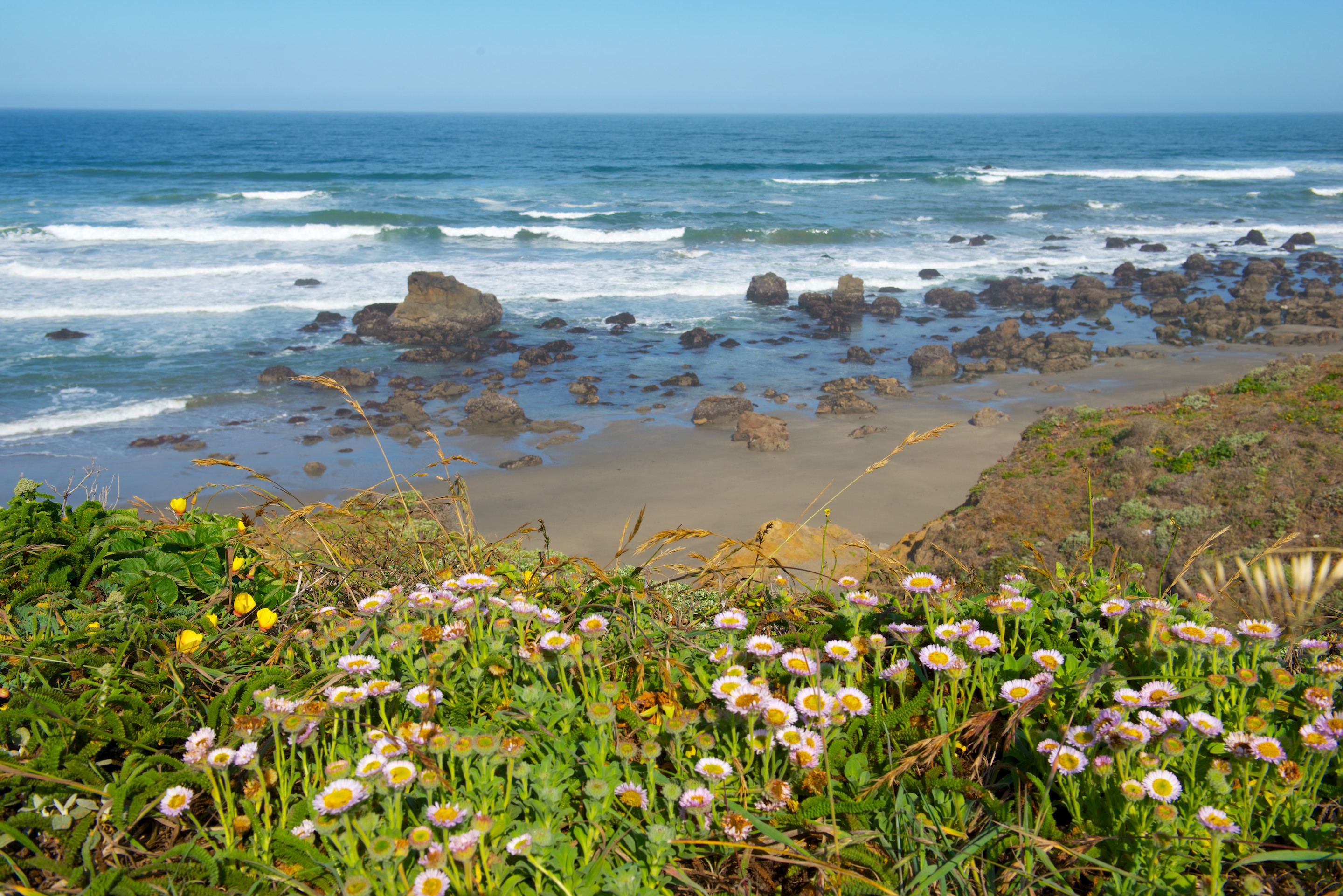
Denise could pop over the dune for her beach walk.
We drove down to admire the relocated Cape Hatteras light at the “Graveyard of the Atlantic.” The stones are from the original foundation.
And then drove to the original site. It was damp and blustery!
The Wright Brothers Memorial sits atop a large sand dune, now grassed over to protect it from the many visitors.


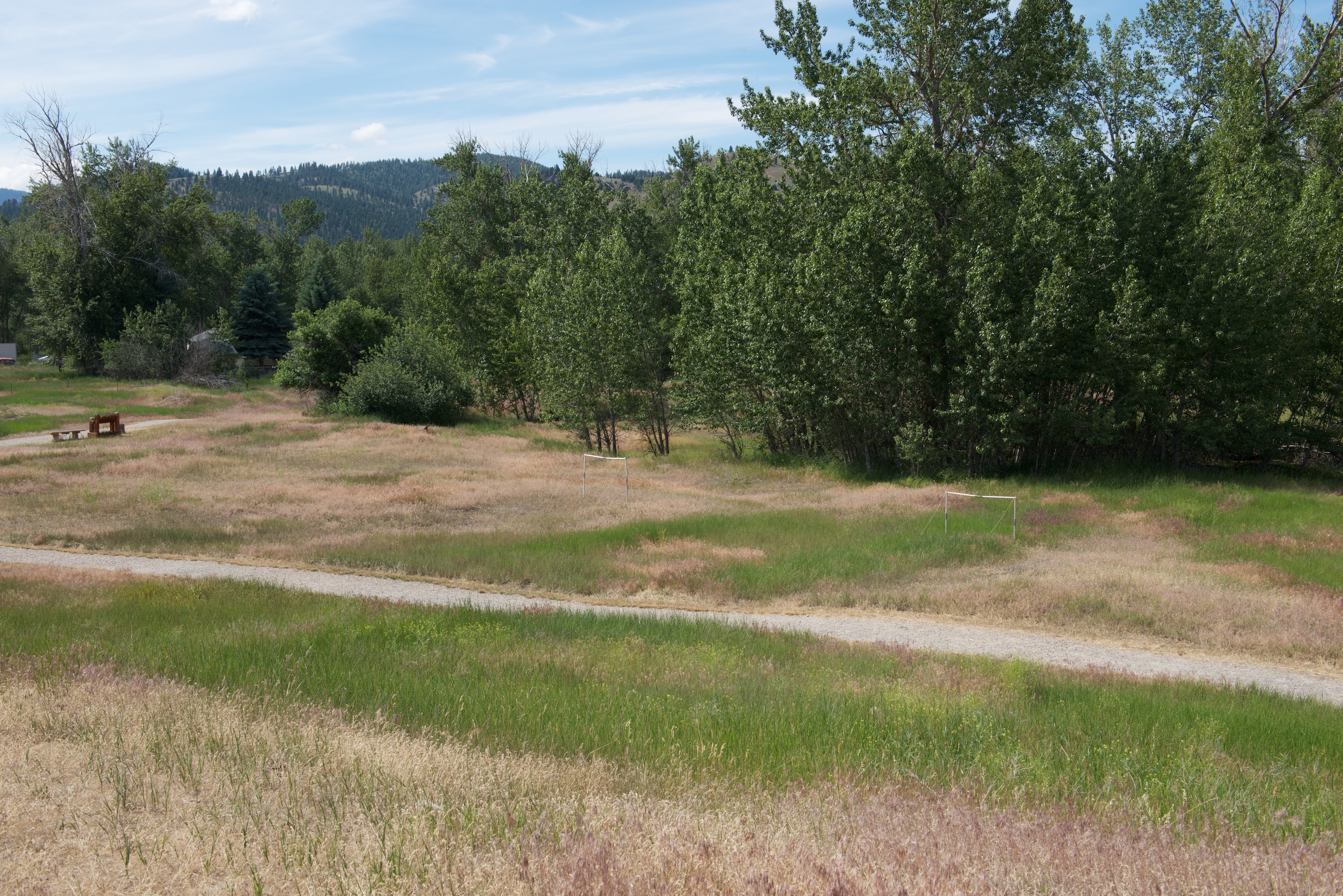
The hill was used for glider experiments during the first two summers that the Wright Brothers spent at Kitty Hawk. The actual flight took place on open ground in front of the dune. Today there is a recreation of the launching track along with stones marking each of the flights.
Interestingly, the brothers were not worried about getting an airplane to fly; they considered that to be relatively easy. They spent most of the first two years developing flight controls and learning to control an aircraft. History proved them to be correct, the challenge was not to get the plane off the ground, but rather to guide it. Some of their first patents, and patent court cases, were over the controls that they designed.
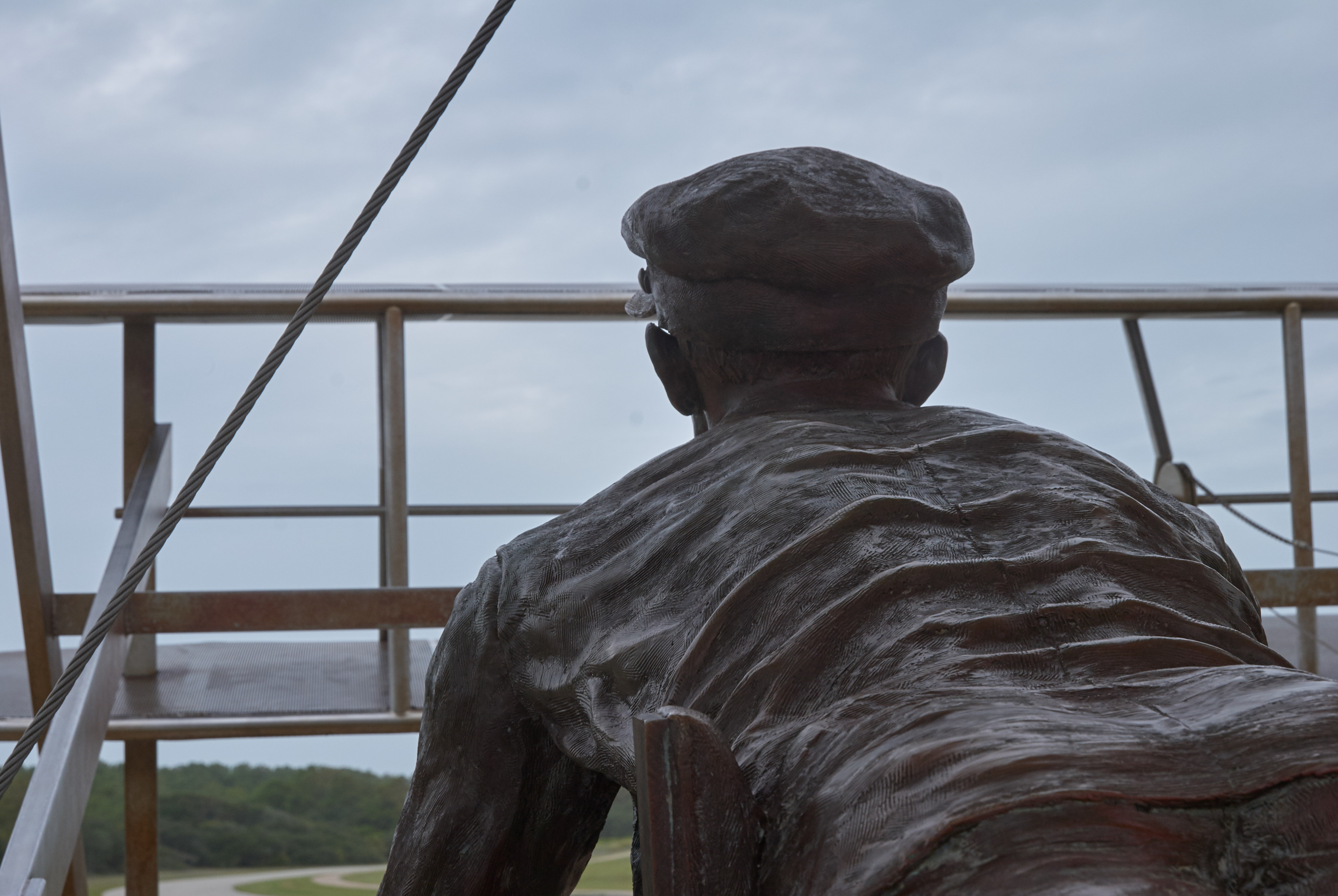
Behind the dune is a most evocative exhibit, a life size recreation of the moment of lift off.
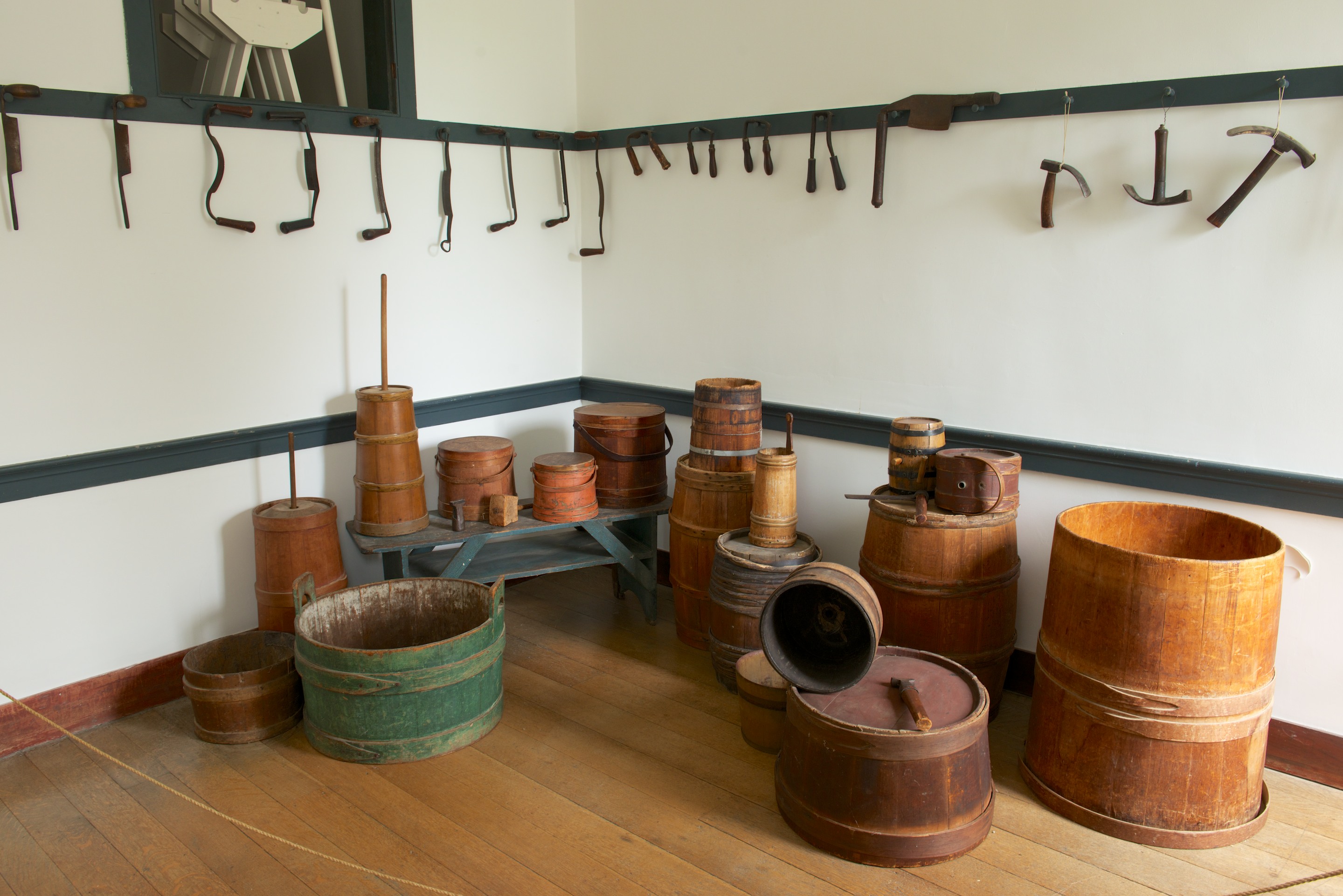
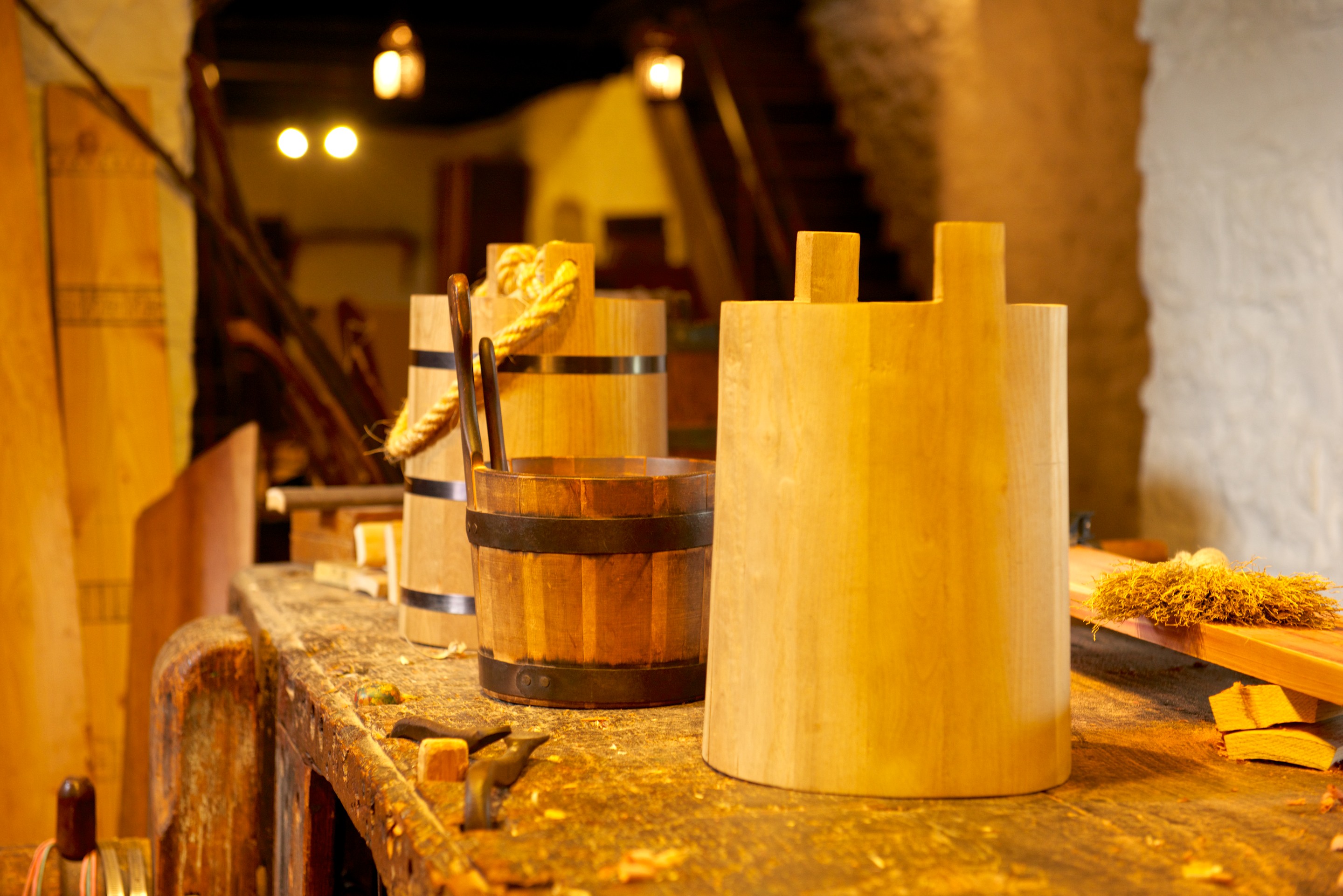
There are full size recreations of the buildings that the brothers construction to live in and to store their kites, gliders, and airplane. Conditions were Spartan and one year they were consumed by mosquitos. Note the beds up in the rafters.
There is also an excellent museum, with full size, super detailed reconstructions of the second glider and the first airplane.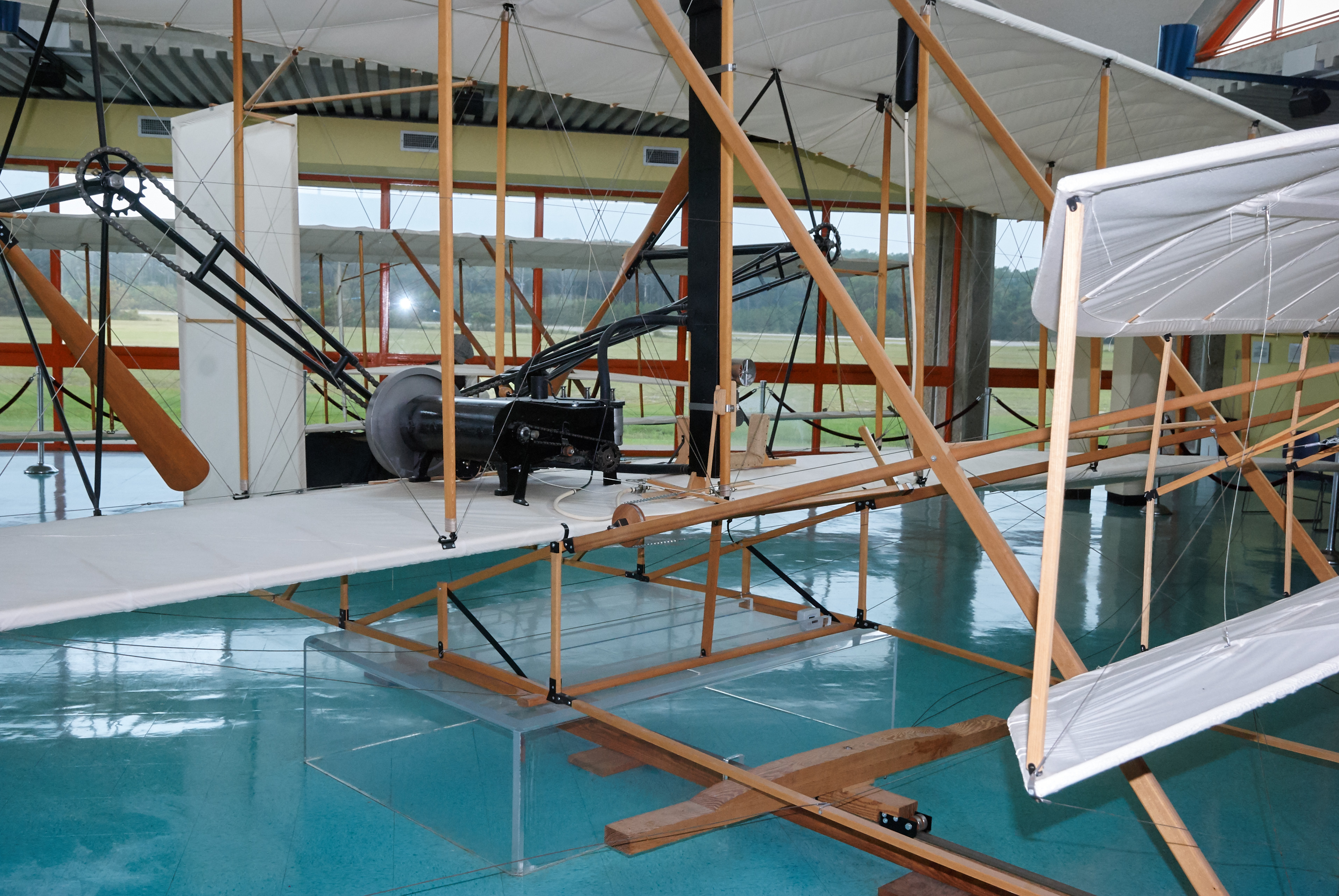
You can see the bicycle DNA everywhere on the airplane.
View of the “cockpit” with the engine to the pilot’s right.
Leaving the Outer Banks, we heading inland through pretty, but not densely populated country. As we traveled, our morning cappuccino alarm went off and things were looking desperate. In the small town of Columbia, NORTH Carolina, suddenly saw a sign advertising espresso and dove off the highway. The establishment turned out to be the tasting room for the Wineries on the Scuppernong. (http://www.vineyardsonthescuppernong.com) The coffee was wonderful and we spent way too much money on nifty gifts. We continued on through Columbia, SOUTH Carolina, to pick up Number One Son and headed up the mountain to Asheville.
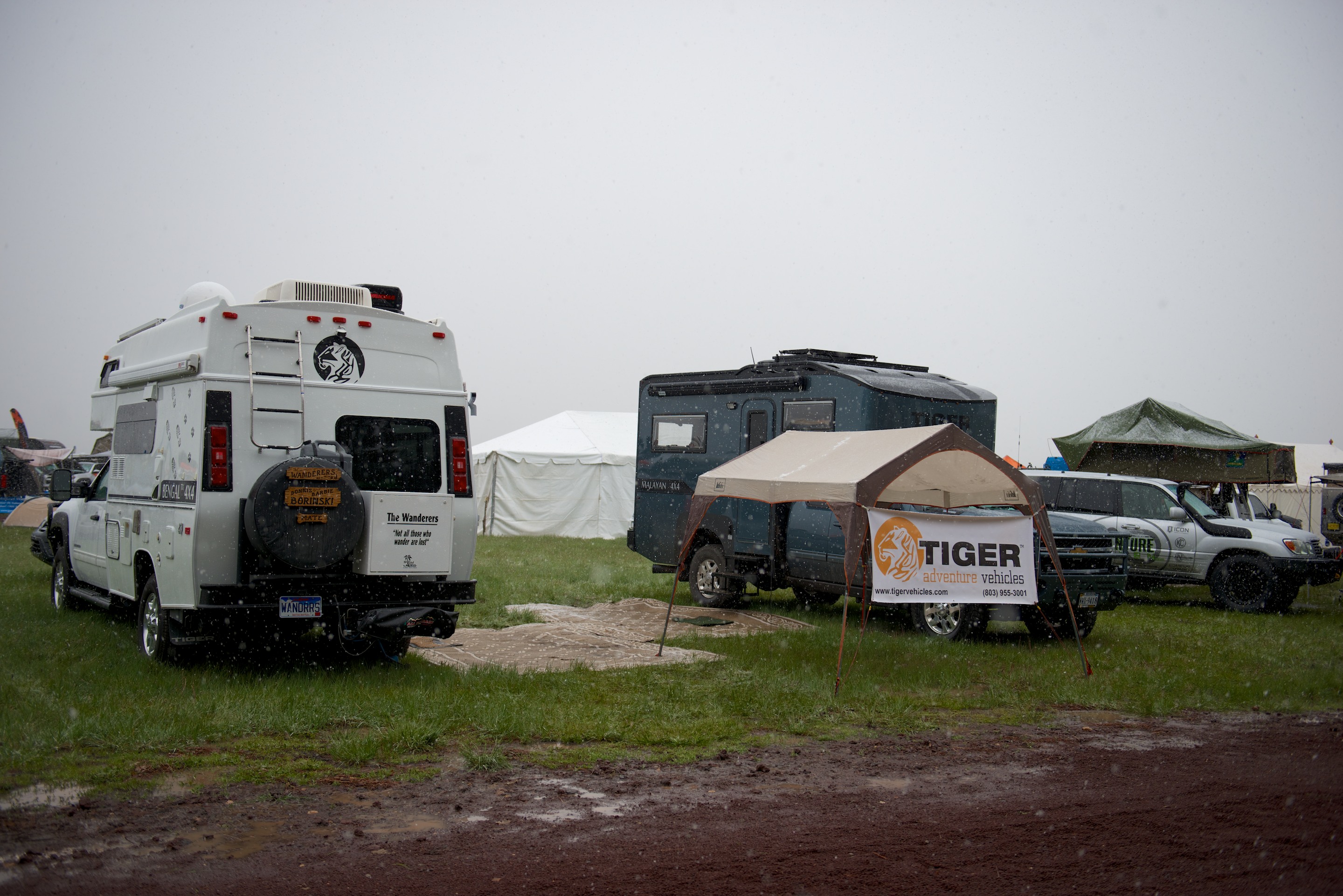
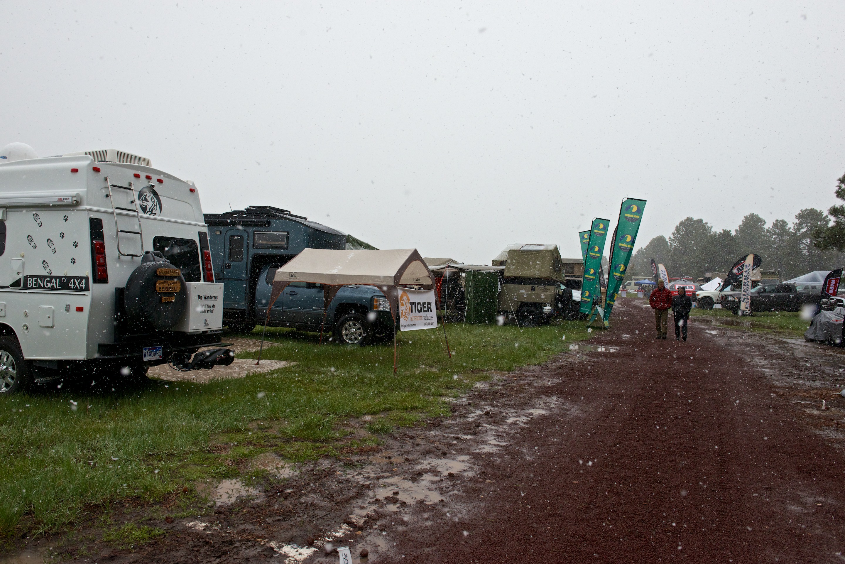
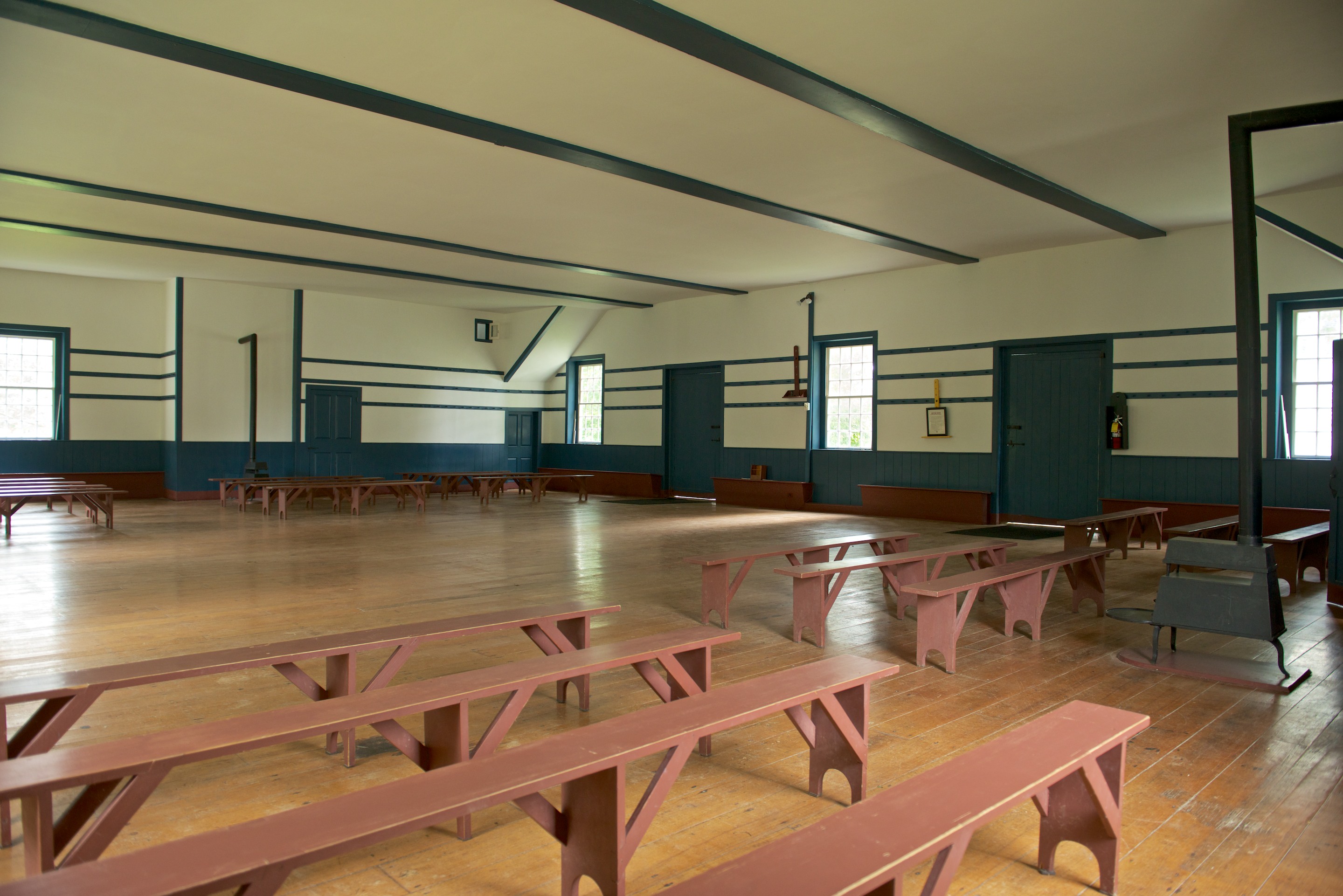
Overland Expo East was a bit rainy last year, but this year, with Tropical Storm Joachim bearing down, was much worse. Still, we made it to the exhibition site and, using newly acquired wooden ramps, got reasonably level. We were joined by long time Bengal Tiger owners and the owners of the newest Siberian Tiger, and their three, huge, black dogs. (The Bleu cat was most unimpressed.) The weather turned steadily damper and the rain got heavier. As the event continued, it got so bad that parked vehicles were sliding down the mountain side. Our friends, the Turners (http://robinsonfuso.com), who were supposed to move their truck to the show area for a presentation were told to stay put and move the people up the hill. Fred’s classes were in tents, so that went well; and he had really enthusiastic attendance for his presentations on overland toilet options, NOT called “Why don’t we do it in the road?” Not surprisingly, perhaps, many people confessed to signing up just to learn about composting toilets. We are overdue a blog post on these and other Ndeke Luka systems, but you can get a preview here: http://natureshead.net
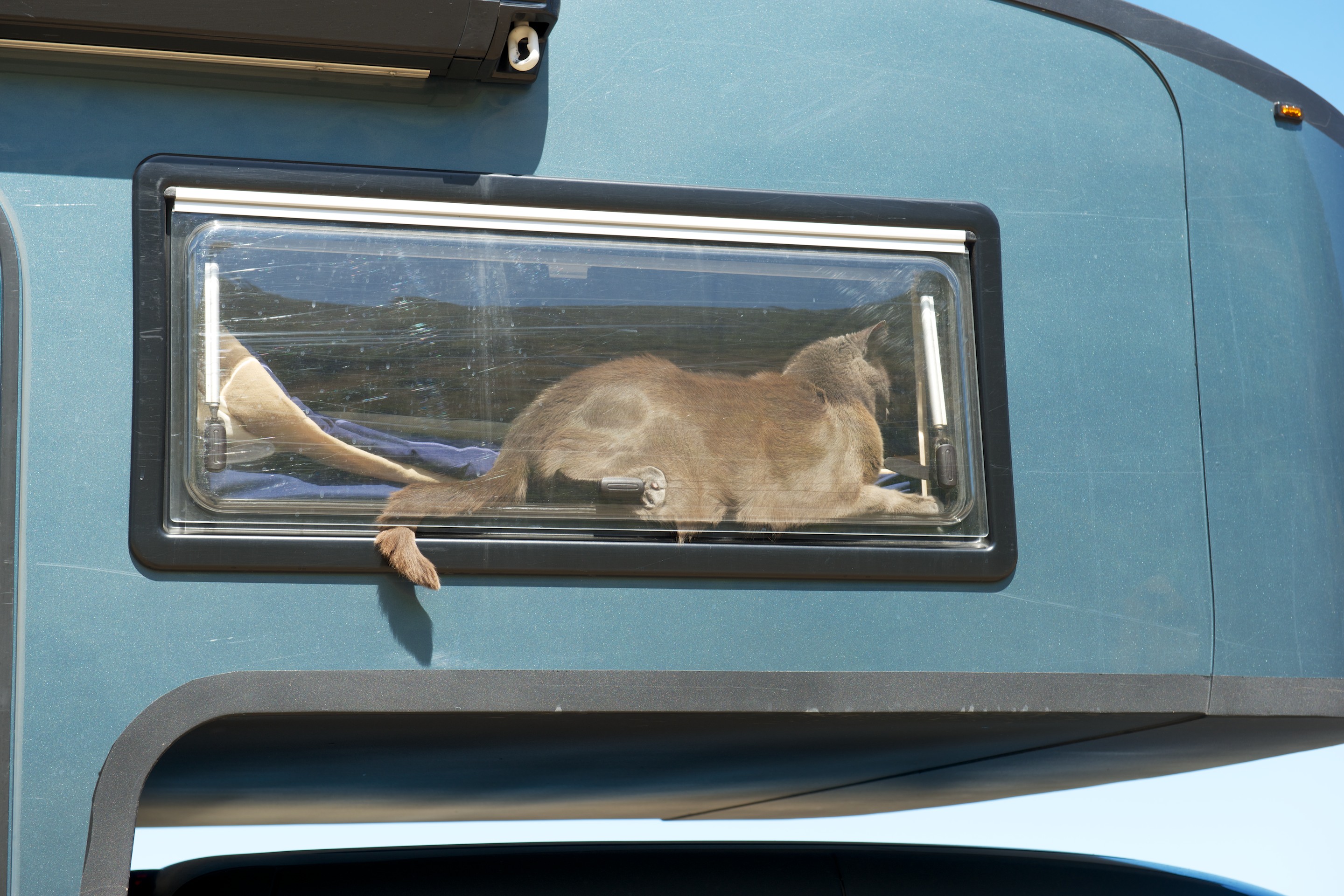
Norlina Bleu was unimpressed with the weather and settled down to snooze on the dash. He was supposed to be handing out brochures.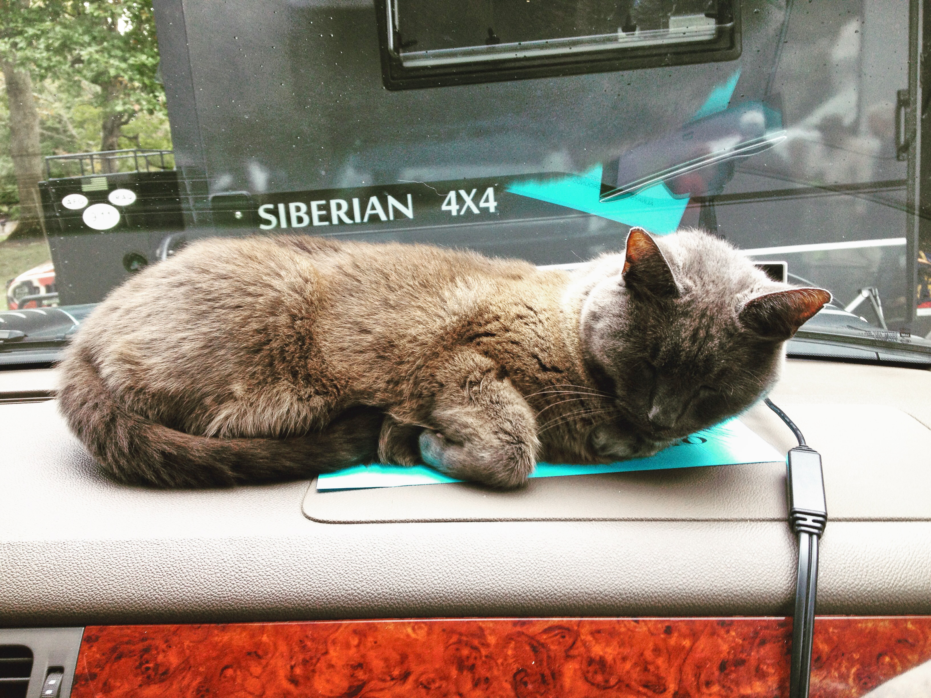
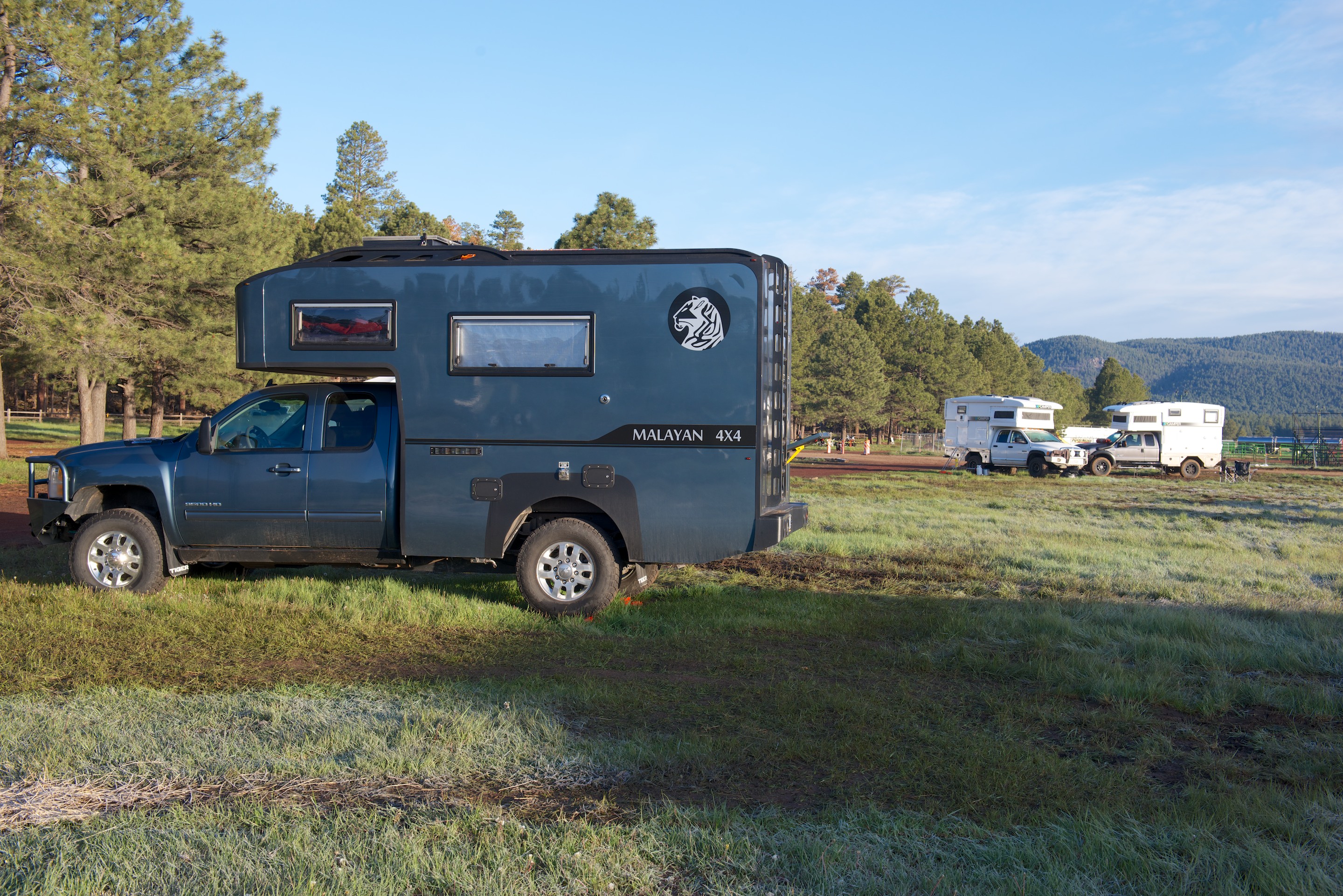
A kraal of four Tigers.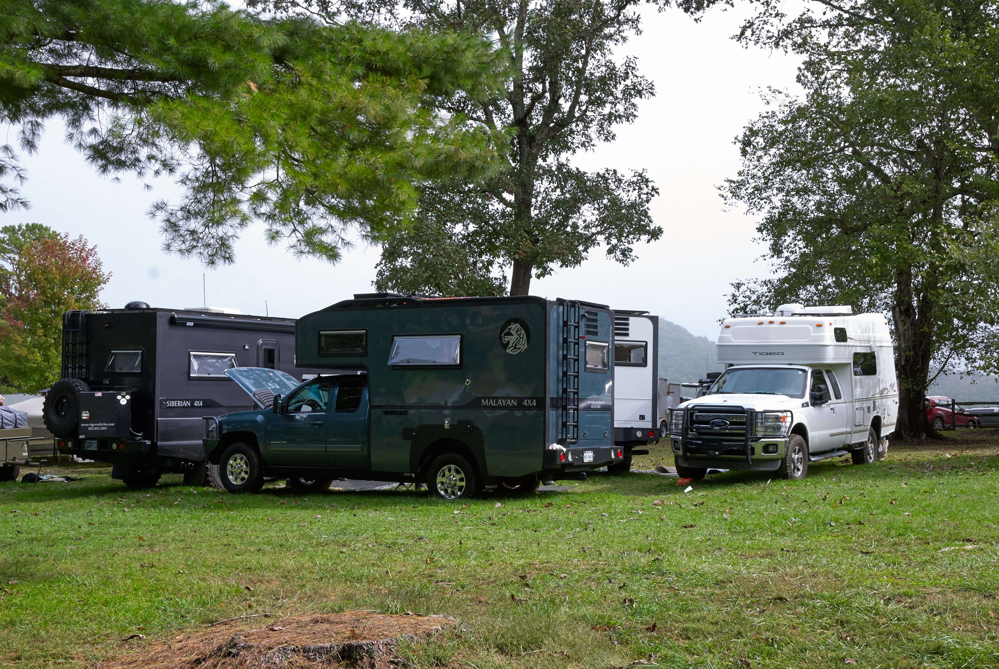
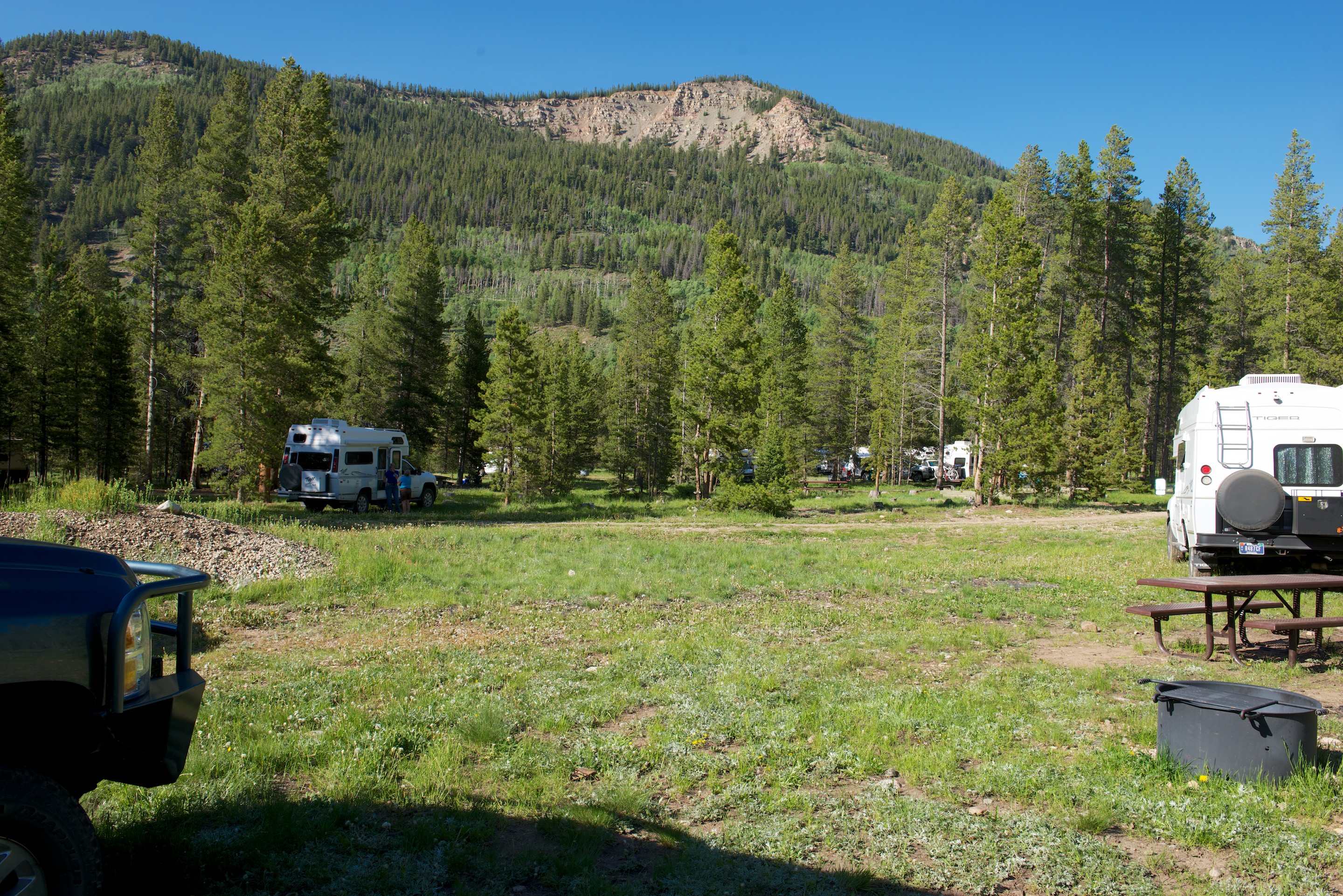
View of the exhibitor’s hill from the classroom tents.
And the classroom tents across the lake. Camping areas are beyond.
Aluminess bumpers.

Denise and the proud owner of the new Siberian between two Tigers.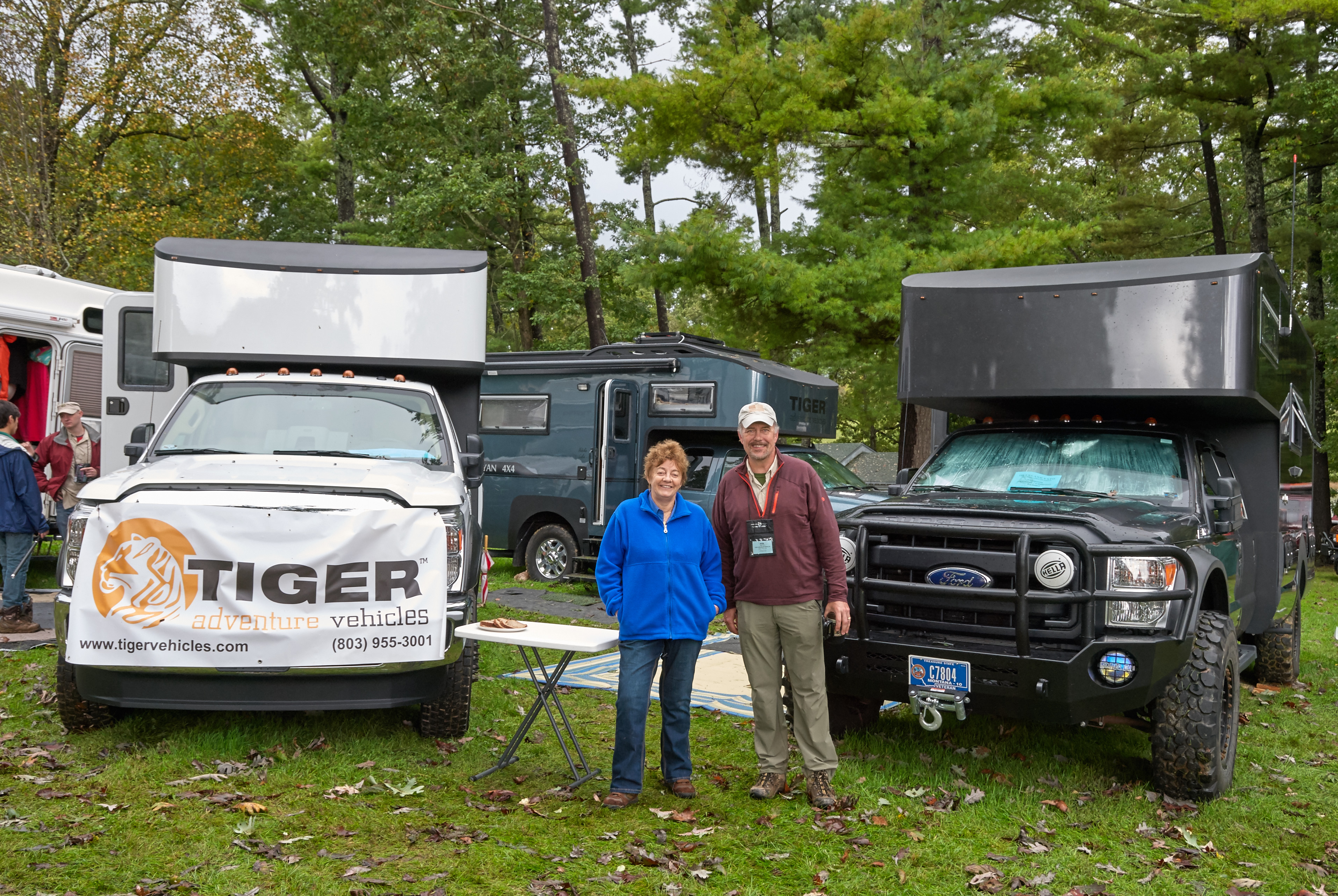
Despite the weather we had a steady stream of visitors. (The new mat earned its keep.)
While the rain in Asheville was not as bad as elsewhere, coming at the end of a week of rain, the grounds got so soggy that they eventually had to turn day visitors away; there was no safe place to park.
Naturally, as soon as Overland EXPO ended, the sun came out. As last year, we went into Asheville for a ramble. There is ample parking for larger vehicles at the welcome center and from there it is an easy five minute walk into the tourist downtown. One of the attractions is beautifully preserved and repurposed old buildings. Woolworth’s, S&W Cafeteria, S.S. Kress – all of the landmarks of the 1950’s are still there, they have just been converted to stores or arcades. The Kress Emporium (http://www.thekressemporium.com), for example, is a great place for Christmas shopping. For lunch we went back to Chorizo, a rather interesting Latin restaurant. They make an effort NOT to serve Mexican food and most of their dishes are quite interesting. (http://chorizonc.com)
Heading home we spent the night at a favorite, Harvest Hosts winery in southern Virginia. They have just changed their name to White Barrel, but the German influenced wine is just as good. (The winery previously known as Attimo, http://whitebarrel.com)


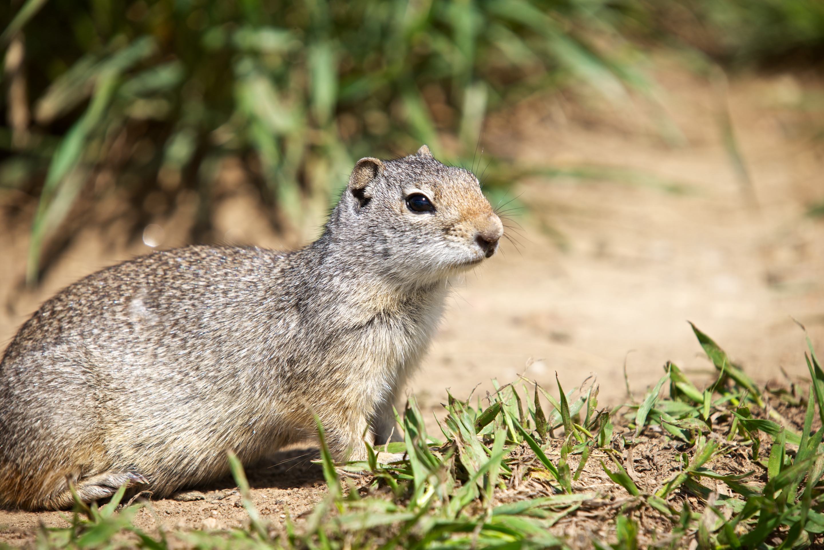
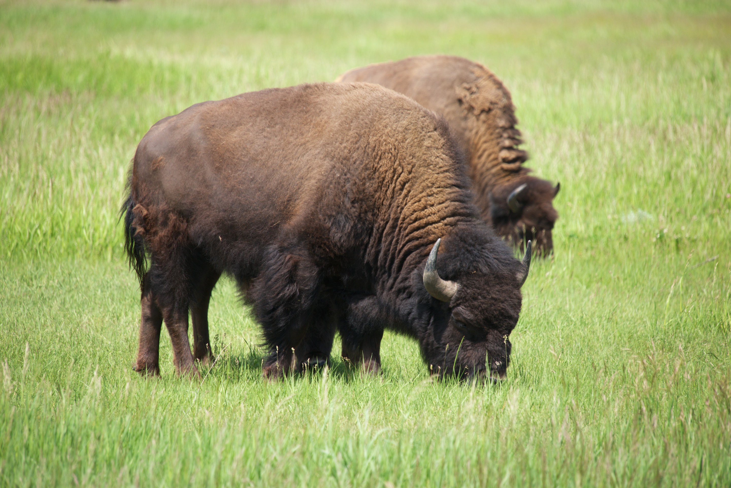
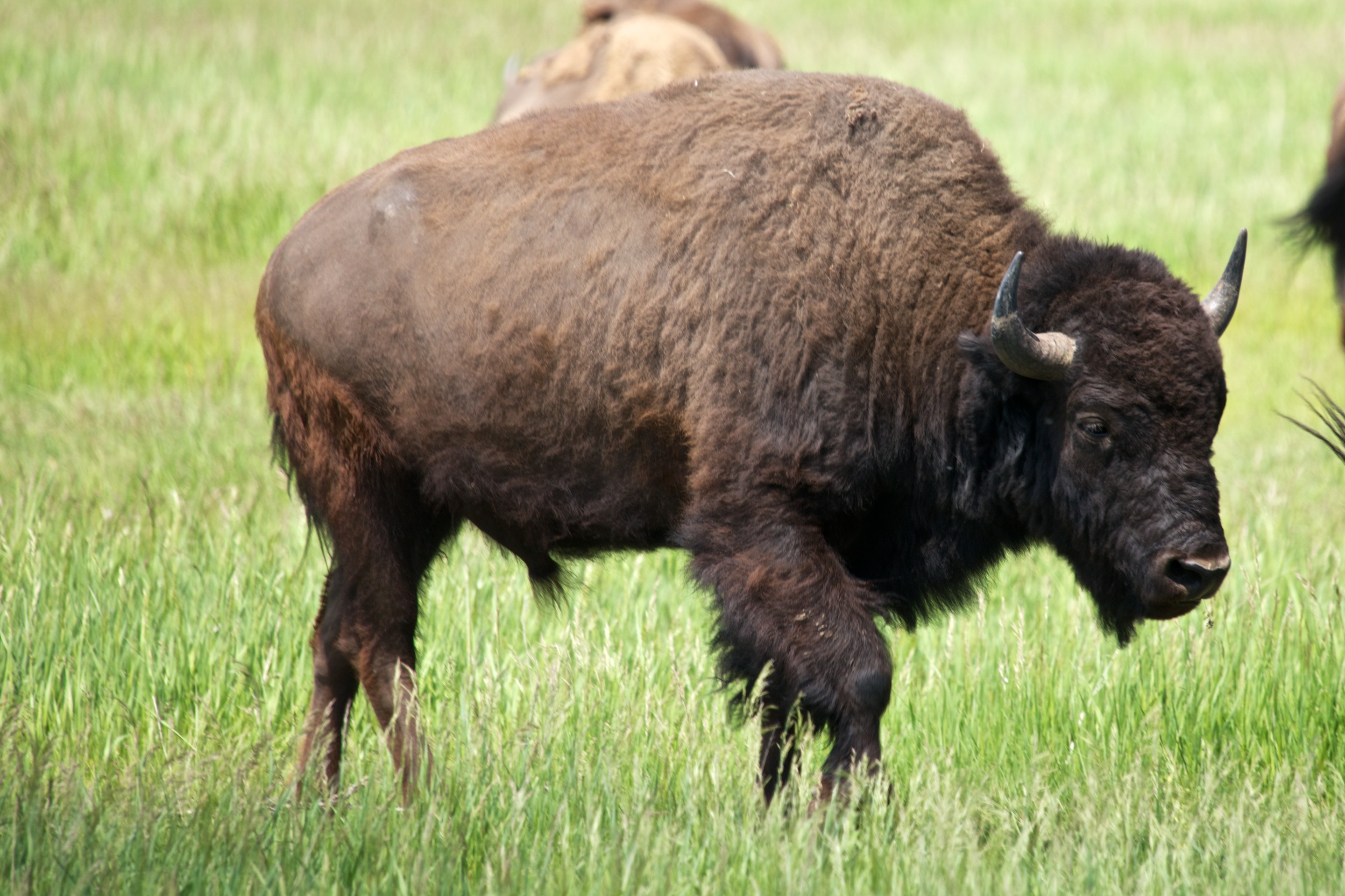
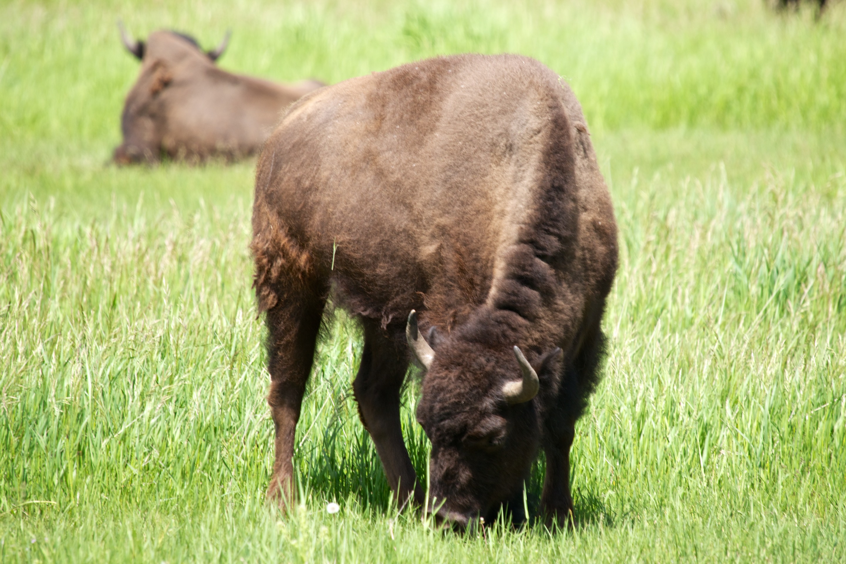
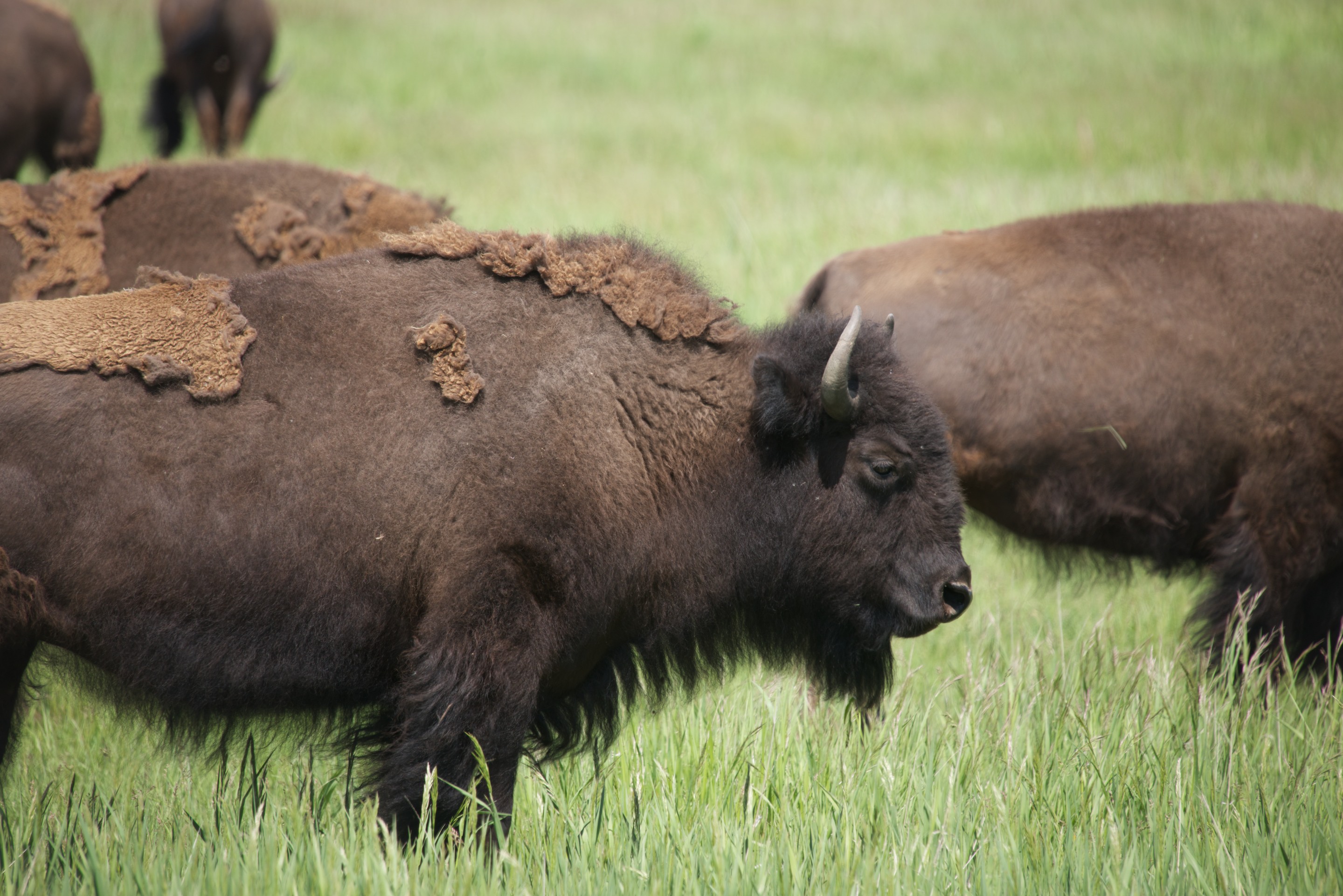
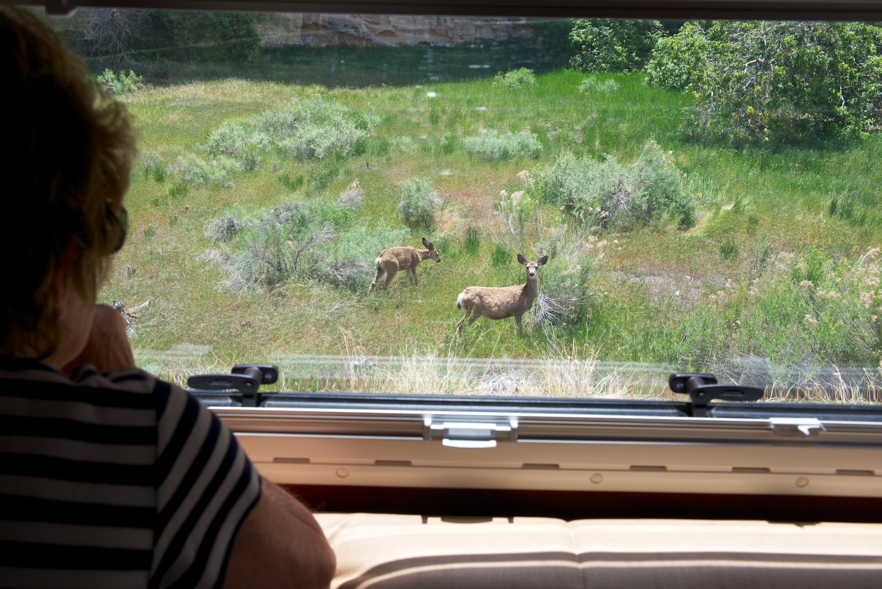
 The hosts were charming, the pronghorn deer wandered by and the ground squirrels were cute!
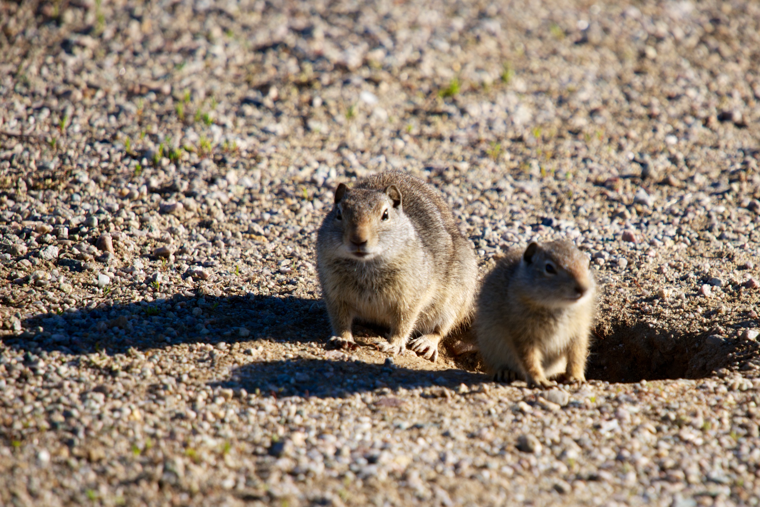
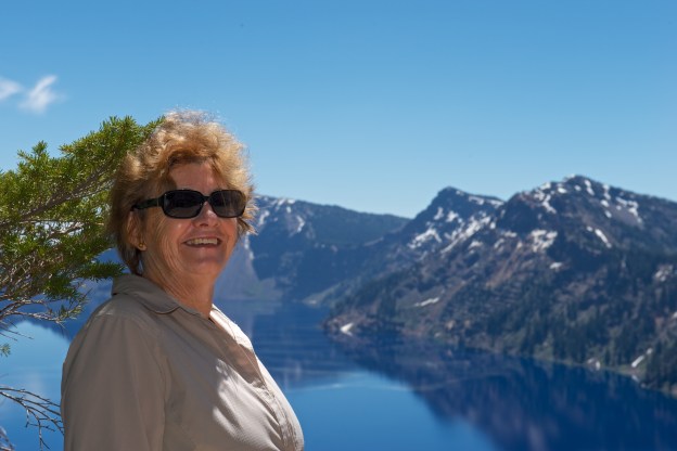
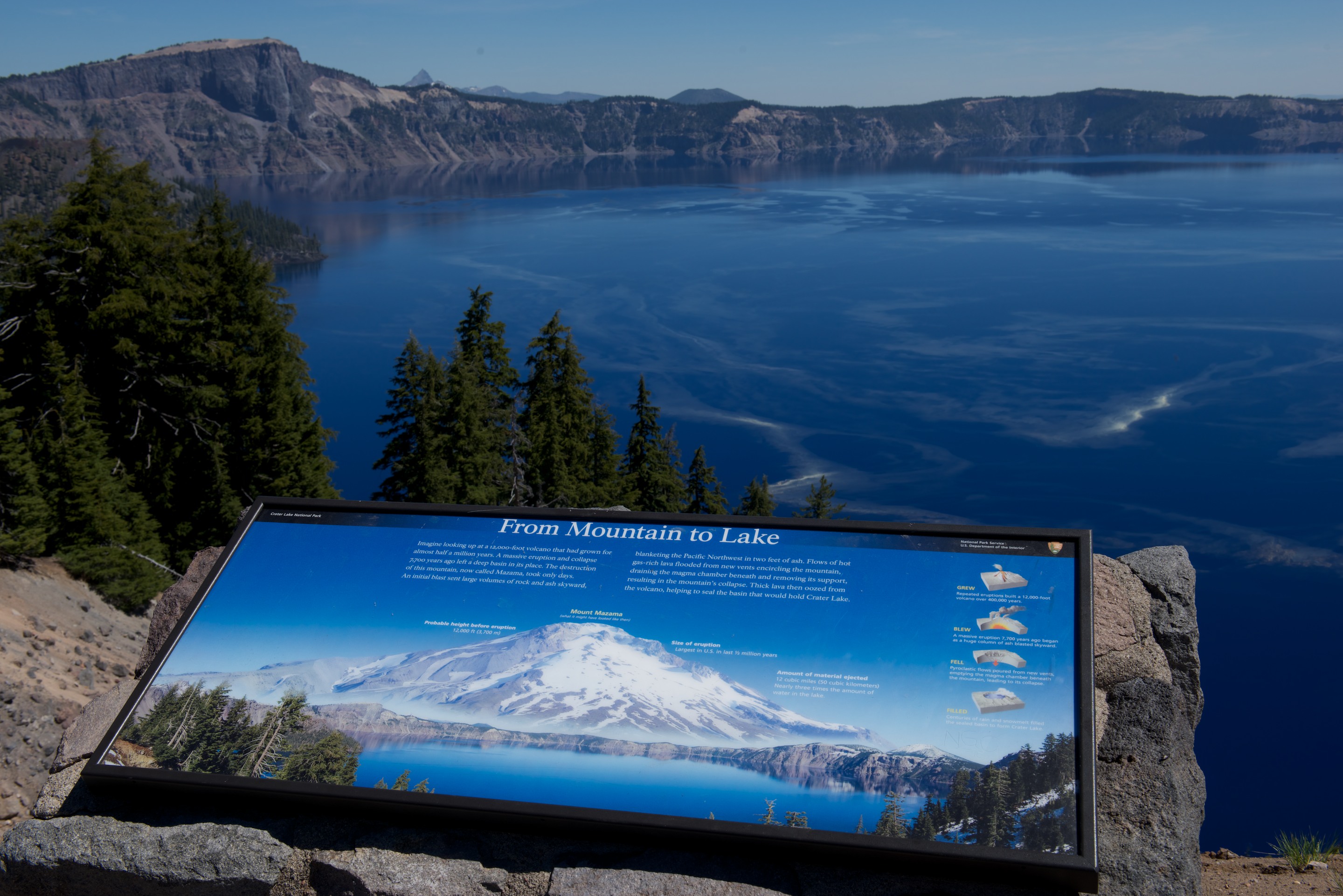


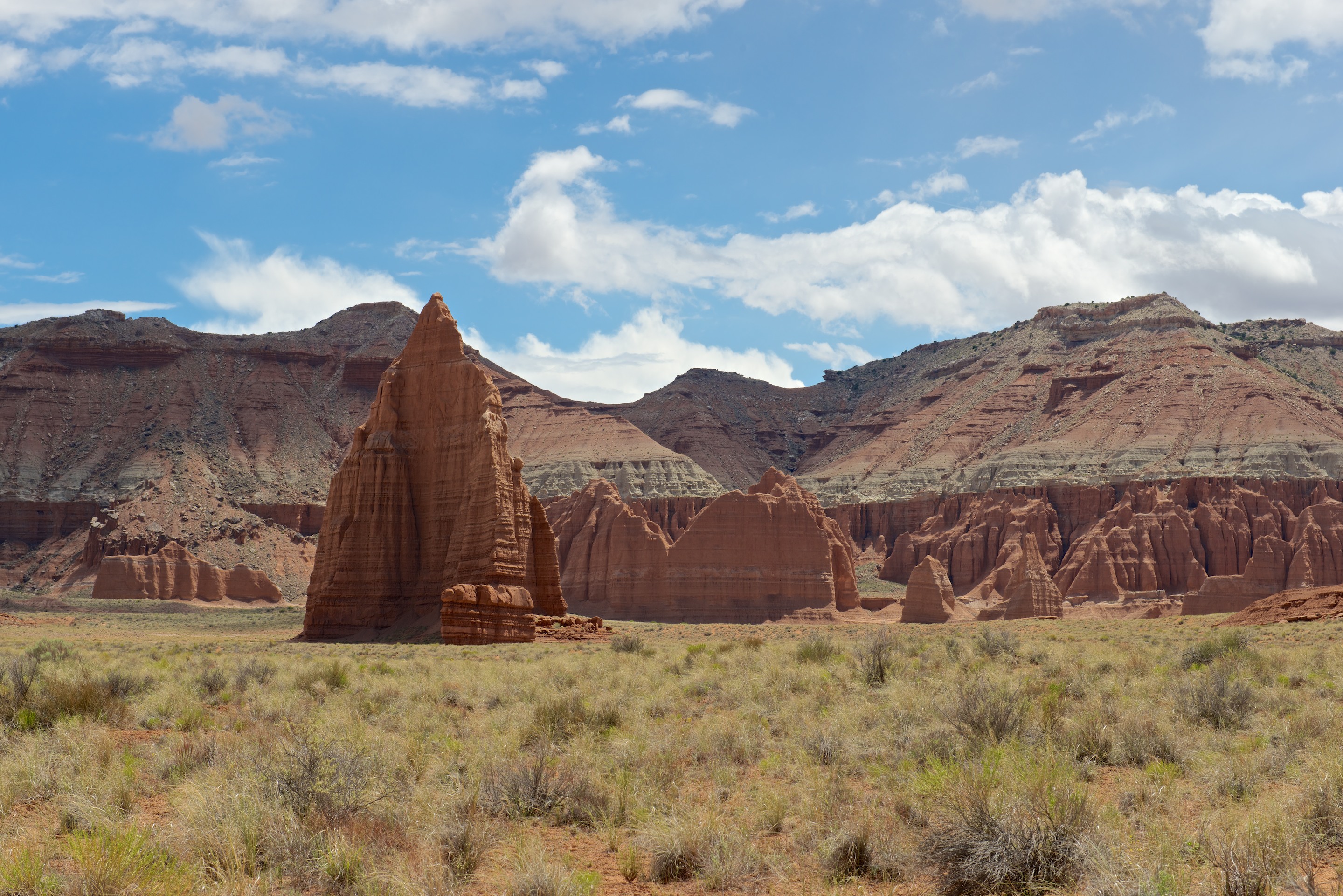
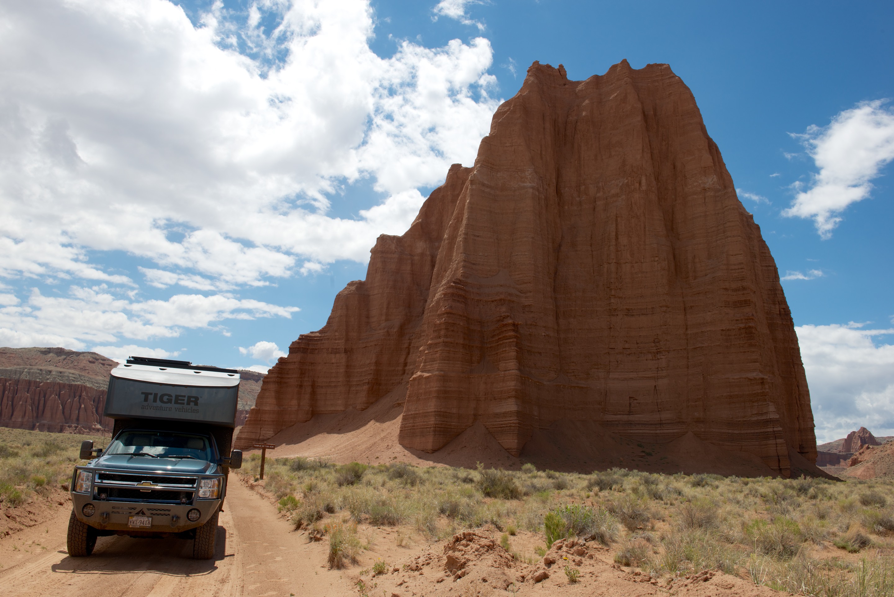
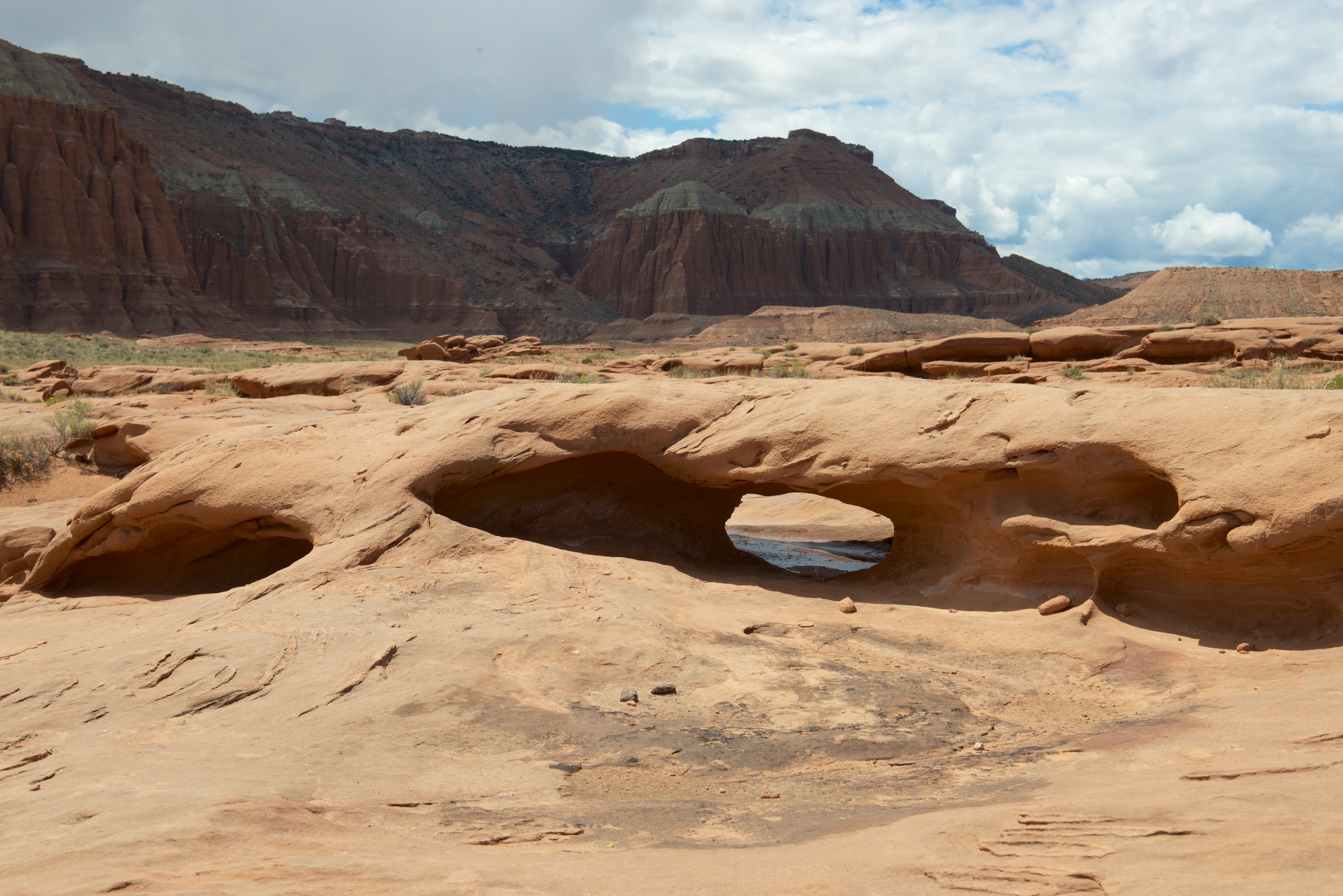
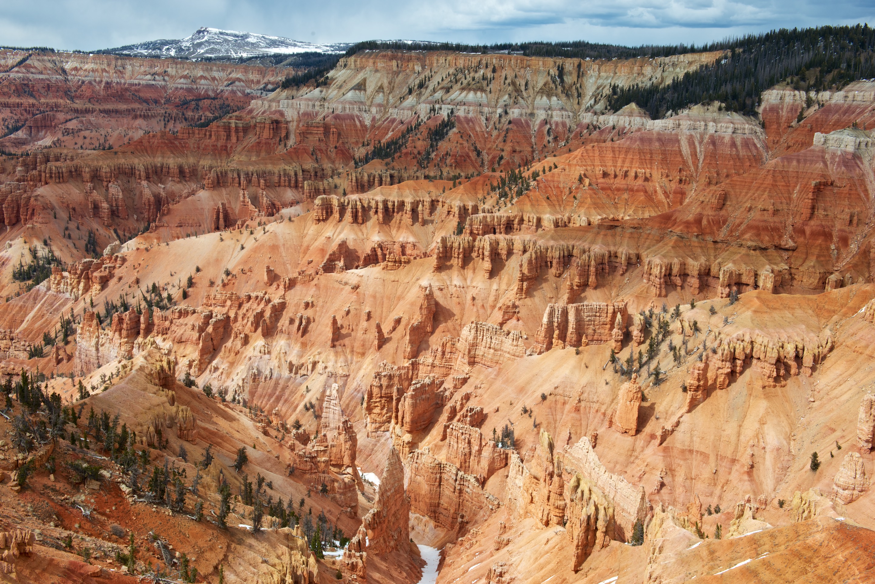
 They certainly turn the scenery on here. Arlington is going to look positively staid after all this!