Category Archives: Expedition Vehicle Travel

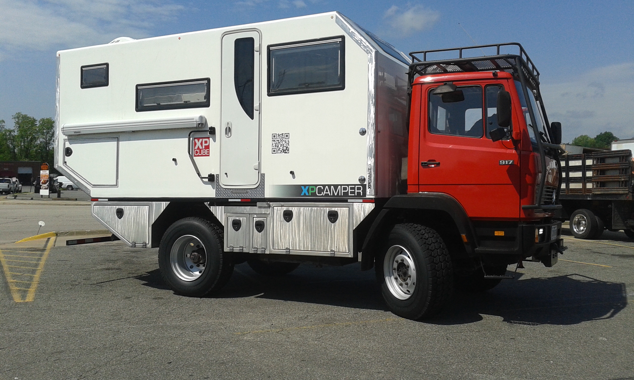
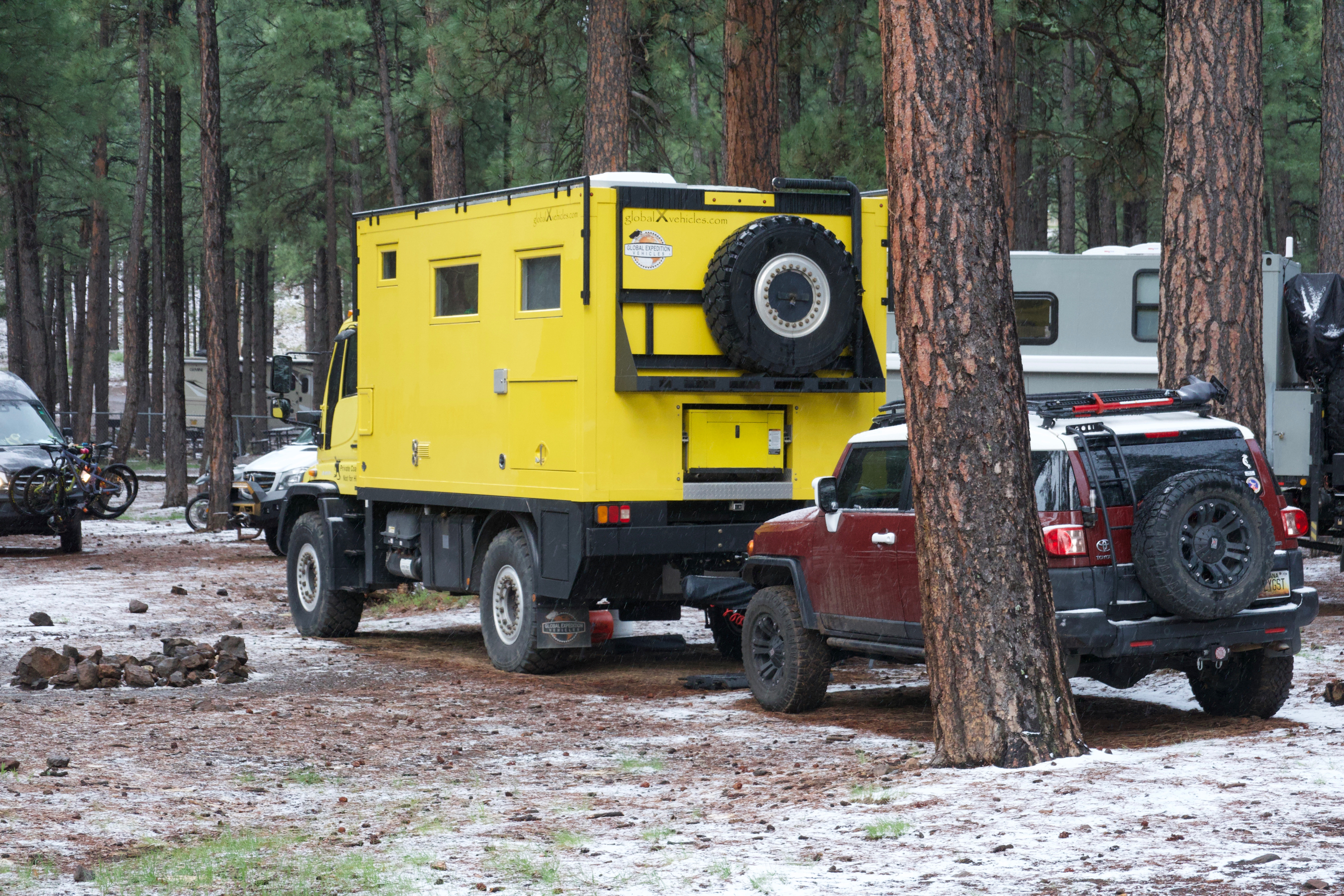
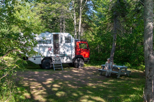
An expedition vehicle is basically a four season capable RV that does not depend on hookups and has 4×4.

Discovering Route 395

After Overland EXPO, we wanted to go somewhere to shoot pictures of the 917 in action. Bad weather put paid to plans to return to the Valley of the Gods, so we headed west, across Death Valley to California.

Along the way we stopped for the obligatory photo on old Route 66,

We did not spend any time in Death Valley; we merely popped through the 20 Mule Team Canyon, but that said, it is spectacular.
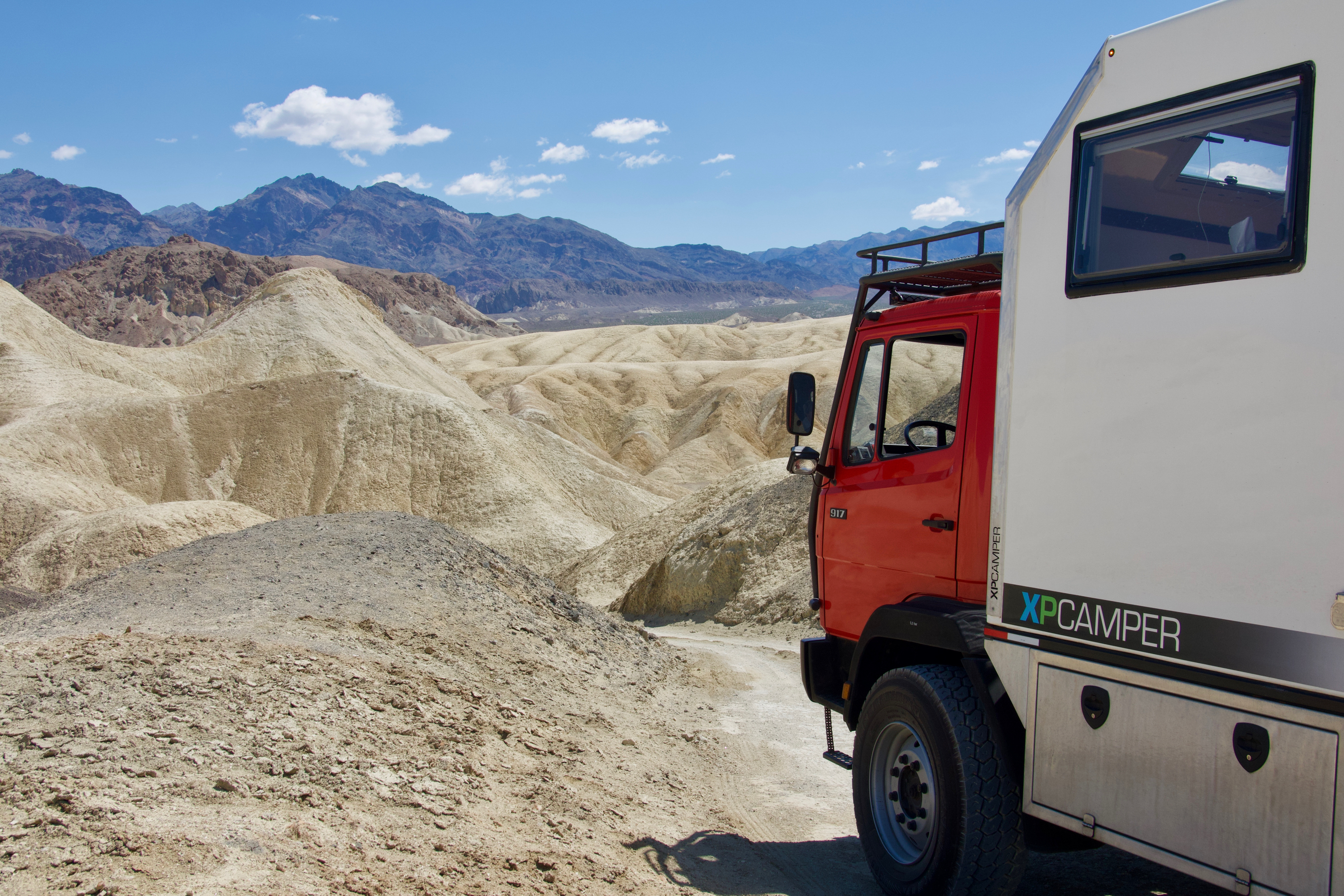
The grades into the valley test your exhaust brake to the maximum! Oh, and the views are amazing. But with an 18,000 lb. vehicle, the road commands a lot of attention.

A grade of almost 10%. Note the road continuing across the valley.

In May the temperature in the valley is not bad, but you can imagine what it is in high summer!
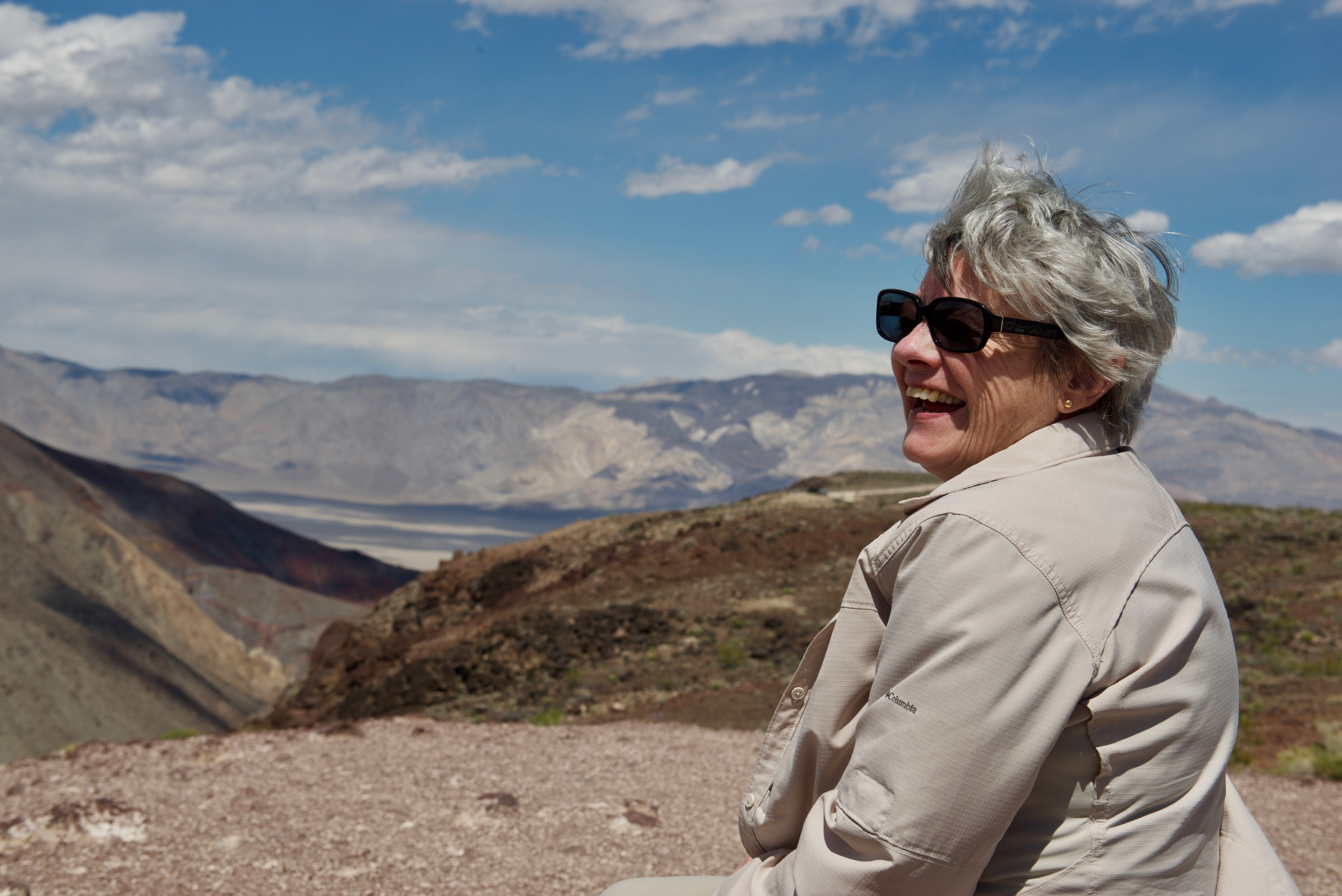
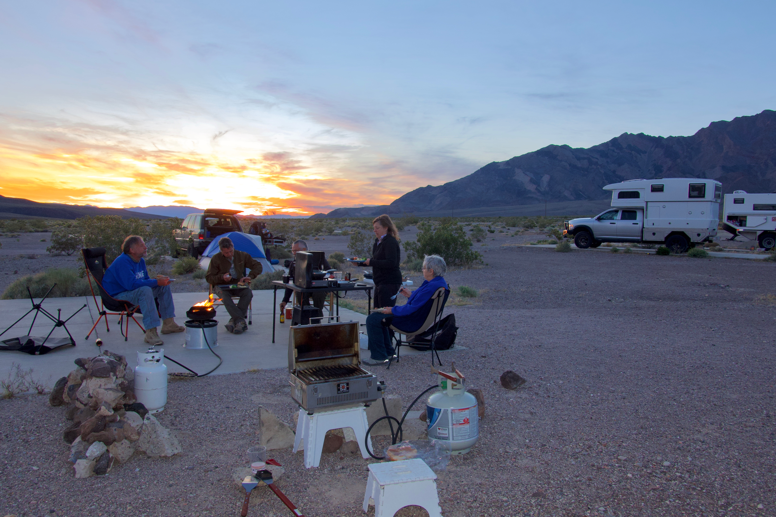
Climbing out the the valley, we camped at an abandoned work site, known as “The Slabs.” (The old foundation slabs make nice level campstites!)
Once into California, we turned north on US 395. We had never heard of Route 395 which runs along the Sierra Nevada, but we very much enjoyed driving it.  We are not alone – it even has a Facebook group.

Our first stop was the Alabama Hills. The Hills have been Hollywood’s secret weapon since the 1930’s. You want the Hindu Kush (“Gunga Din”), the Lone Ranger’s massacre site, Afghanistan (“Iron Man”), a burned villa (“Gladiator”), or simply spectacular scenery for westerns, great and not so great? The Alabama Hills provide it all in an area about two by five miles. We drove around the rocks a bit (proving that the swing away rear bumper would swing!) and then settled in for the night.
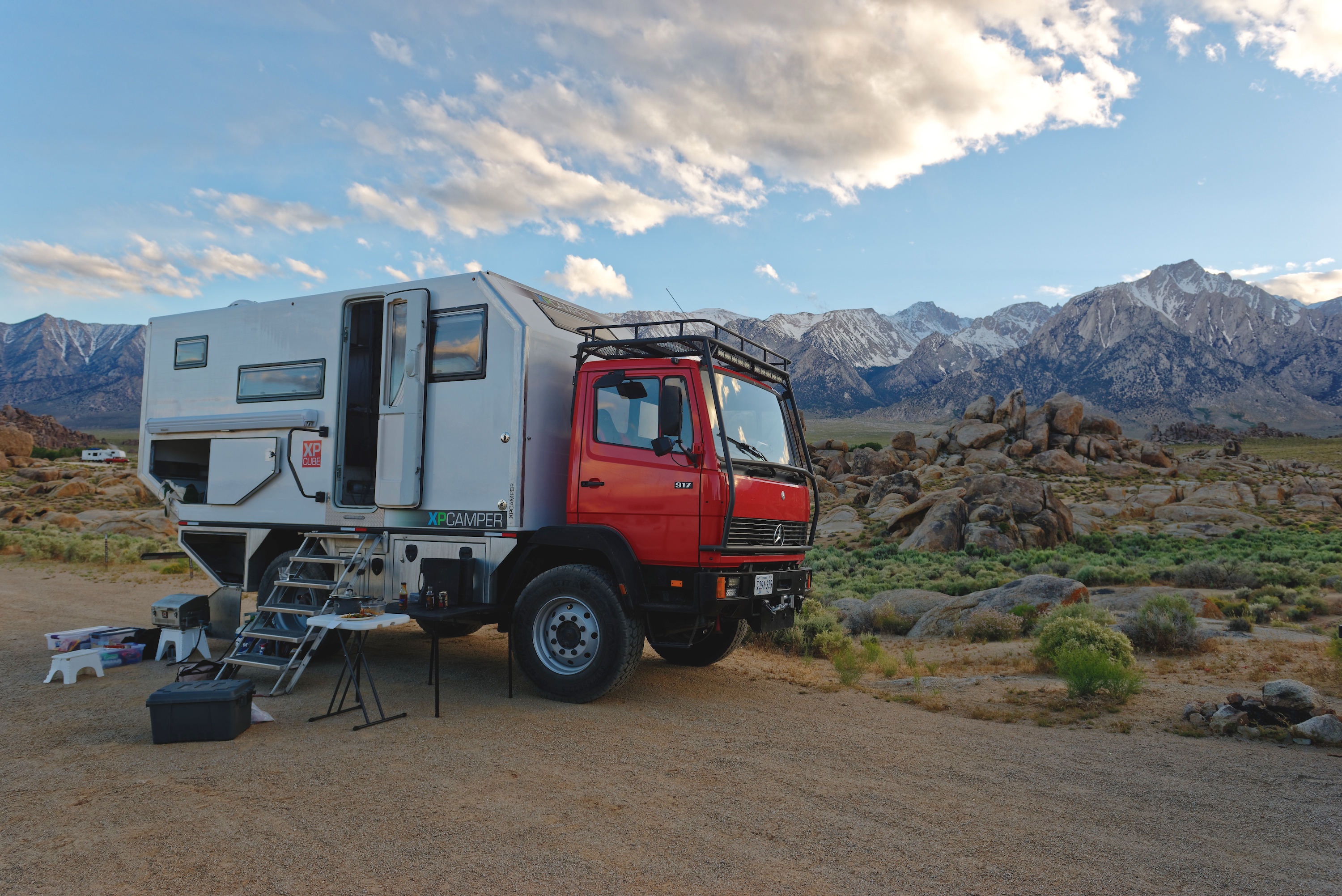
No, we are not in the Hindu Kush.
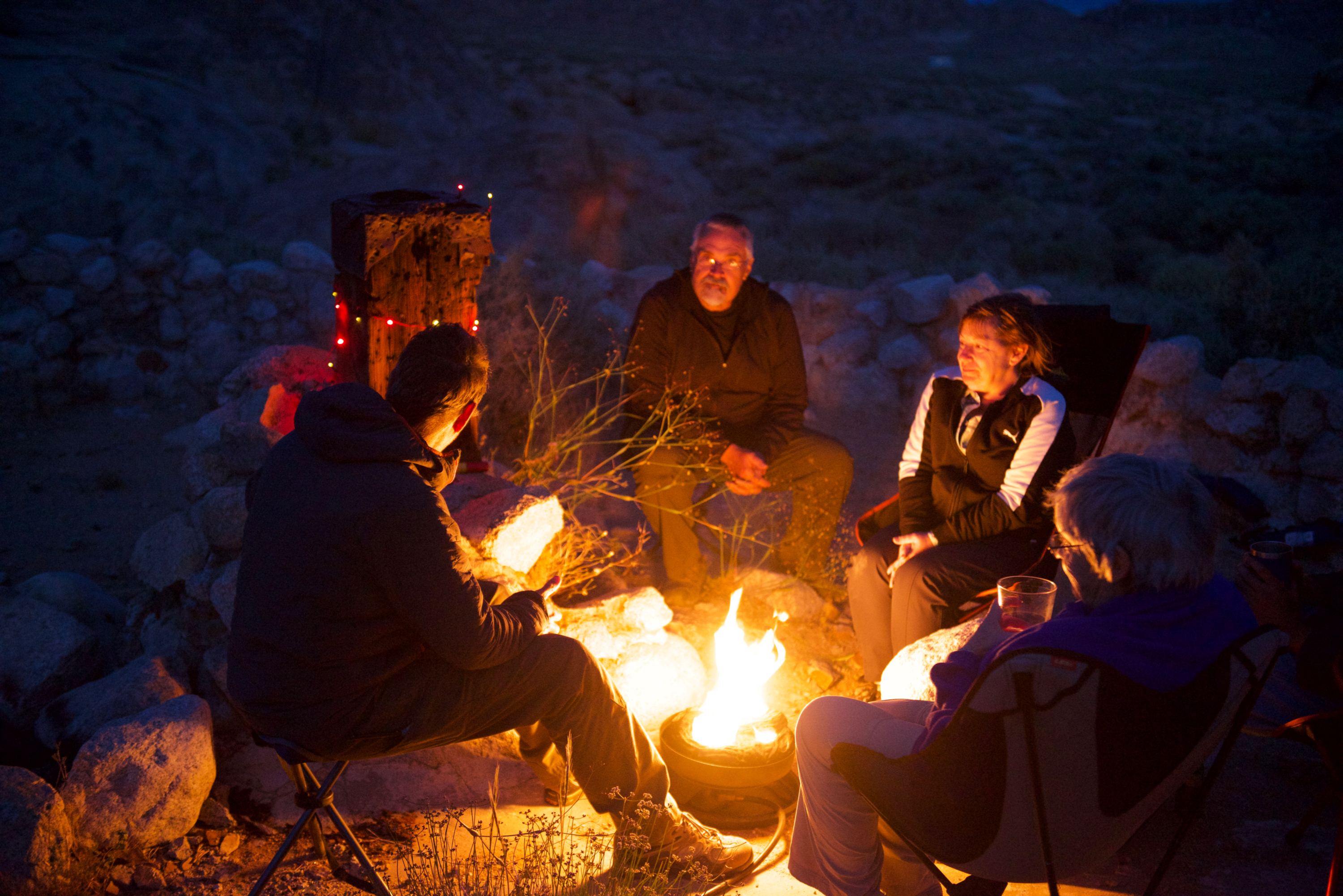
The next day dawned grey and dismal, but we still drove under Gunga Din’s bridge, almost by accident. (Sadly, Annie, the elephant, was no longer there.) This is a great video: https://vimeo.com/8561946

The bridge spanned from the concrete in the foreground to the rock on the other side of the truck. The “yawning chasm” was a matte shot. You are standing where Annie the elephant stood when she shook the bridge.

We left the Alabama Hills and headed into Lone Pine to visit the Film History Museum.  This was most interesting with everything from cars used in the era to memorabilia and posters from different movies.  Fred especially liked the old movie camera car, used to film racing cowboys and crashing wagons.

The town of Lone Pine has what may be the most beautiful McDonald’s in the world. (We went to the espresso bar, not as scenic, but better coffee.)

All of the scenery on Route 395 was incredible, though we could have wished for better weather – rain, clouds and even snow were our constant companions. 

Then it was time for a visit to a most moving and sad location, Manzanar, National Historic Site. One of the Japanese Internment Camps, established after the bombing of Pearl Harbor, it housed about 120,000 ethnic Japanese of which 60% were US citizens. They, for the most part, lost everything; homes, businesses, and even pets were abandoned at short notice. Allowed to carry, only a suitcase, they were forced into the windy, dusty high desert environment.  Parts of the camp have been reconstructed and interviews with former residents tell their stories. A very sad and shameful part of our history.

As we continued our drive north, we stopped at the Laws Train Museum and Historical Site, a collection of old houses and memorabilia from the late 1800’s and one of the last narrow gauge engines and cars from west of the Rockies.  The Laws Depot from 1883 is there.  Other than the falling rain, it was pleasant.

Heading north still, we decided to see the Obsidian Dome, a volcanic feature amongst a number of volcanic calderas, cones and lava flows.  As the road climbed, the rain turned to snow and we found ourselves in deep drifts.  Of course we managed to get stuck as we were not expecting this and were not even in 4×4.  (Yes, we should have been).  This posed a bit of a problem – we had sand ladders and “Go Treds” but no shovel. (Don’t even say it!) We successfully extricated ourselves using the rear winch. For the first time in our lives, Mr. “I-don’t-need-no-stinkin-winch” was saved by a winch. (Yes, we did have a nice new tree strap.) Actually, the truth is that Denise ran the winch while Fred drove.
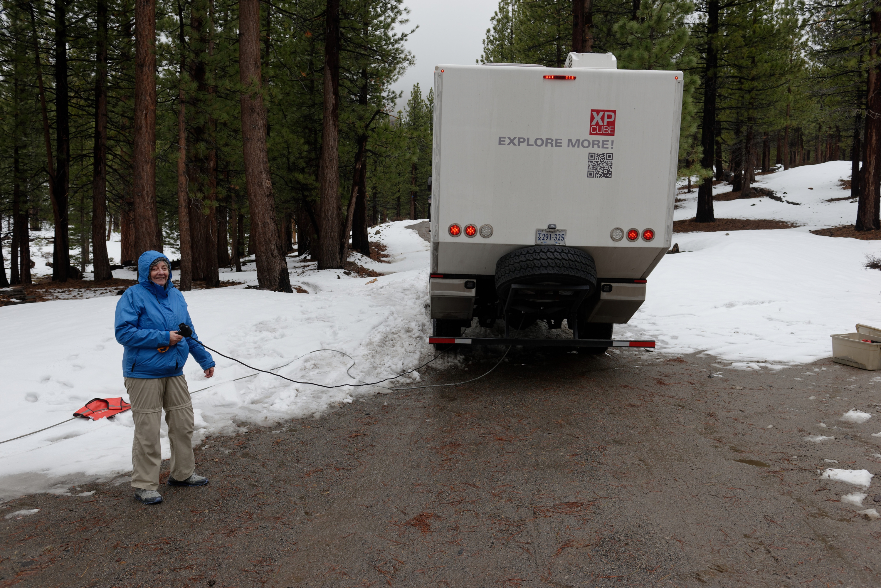
Denise, a beautiful wench, or is it winch?

Once out, the snow was falling, so we decided to stay put and camped beside the drift!!  Next morning we had a dusting of snow on us but the sun was shining!  We had not seen it in so long!

Our final stop on 395 before heading into Nevada was at the Mono Lake, known for its tufas.  Mono Lake is a salt lake, which forms tufas, strange spires and knobs, when fresh water springs containing calcium bubble up through the lake water and combine with the carbonate-rich waters of the lake. 

We started at the Visitor Center and then retraced our steps to the South Tufa area where a footpath led down to the lake and close encounters with both dry and wet tufa.  There are no fish in the lake only briny shrimp, which are a favored source of food for several migrating birds.  There are also alkali flies which are a food source.  There were a few birds around but we did not visit in the main migration season.

The Mono Basin is very volcanic with the youngest mountain range in the US.  For example, Panum Crater only erupted 650 years ago.

As we left, we went to the Panum Crater, and climbed up the side to view the lake and the crater, before heading into Lee Vining to enjoy an ice-cream on the first sunny day in a week!  And on to Nevada where we planned to visit friends, for the Memorial Day weekend.

On the Road, Again

This time our departure was rather rushed as we could not leave until the new wheels arrived from Germany.  (http://www.expeditions-lkw.de/felge-11-75×22-5-8-loch-et-110-kronprinz.html  Thank you, Fabian!) They made it by the skin of their teeth and we drove to Baltimore on the Wednesday to pick them up and then dropped them at the tire shop.  Fred had them installed with the new tires on the Friday and then it was all systems go for departure on the following Wednesday. Thank you all of the wonderful folk at Alban Tire, Springfield. (https://www.albantire.com

New, round wheels and tires!

It always takes far longer to get ready than one thinks it should but we made it out about 11 AM with most of what we planned to take with us!  And in the U.S. one can always buy what one forgets!  In other parts of the world that is not always the case!

We were heading for Overland Expo West, (https://www.overlandexpo.com/west) so had a limited amount of time to make it to Flagstaff, Arizona which made for long driving days. We could see considerable flooding as we approached the Mississippi River and as the river was cresting further north at that moment, we were glad to get through without problems. Perhaps as result of all of the rain, the spring flowers beside the interstate were lovely, even into the desert.

We took the shortest possible route, Interstate 40, but were frankly shocked by the state of the road surface in several of the states and by the general lack of open rest areas. Oklahoma had not one rest area available, so no wonder all the truck stops advertised “clean toilets”.  Even a camper needs a rest area for a lunch stop.  Eating lunch in a truck stop parking area is no fun. 

That said, there were some pleasant surprises en route. The KOA in Grants, New Mexico is not impressive from the road, but it turns out to be lovely and right in the middle of “El Malpais” (badland). (https://koa.com/campgrounds/grants/) They even have a short, annotated lava/nature walk which gives you a sense of the unique geology of the region.

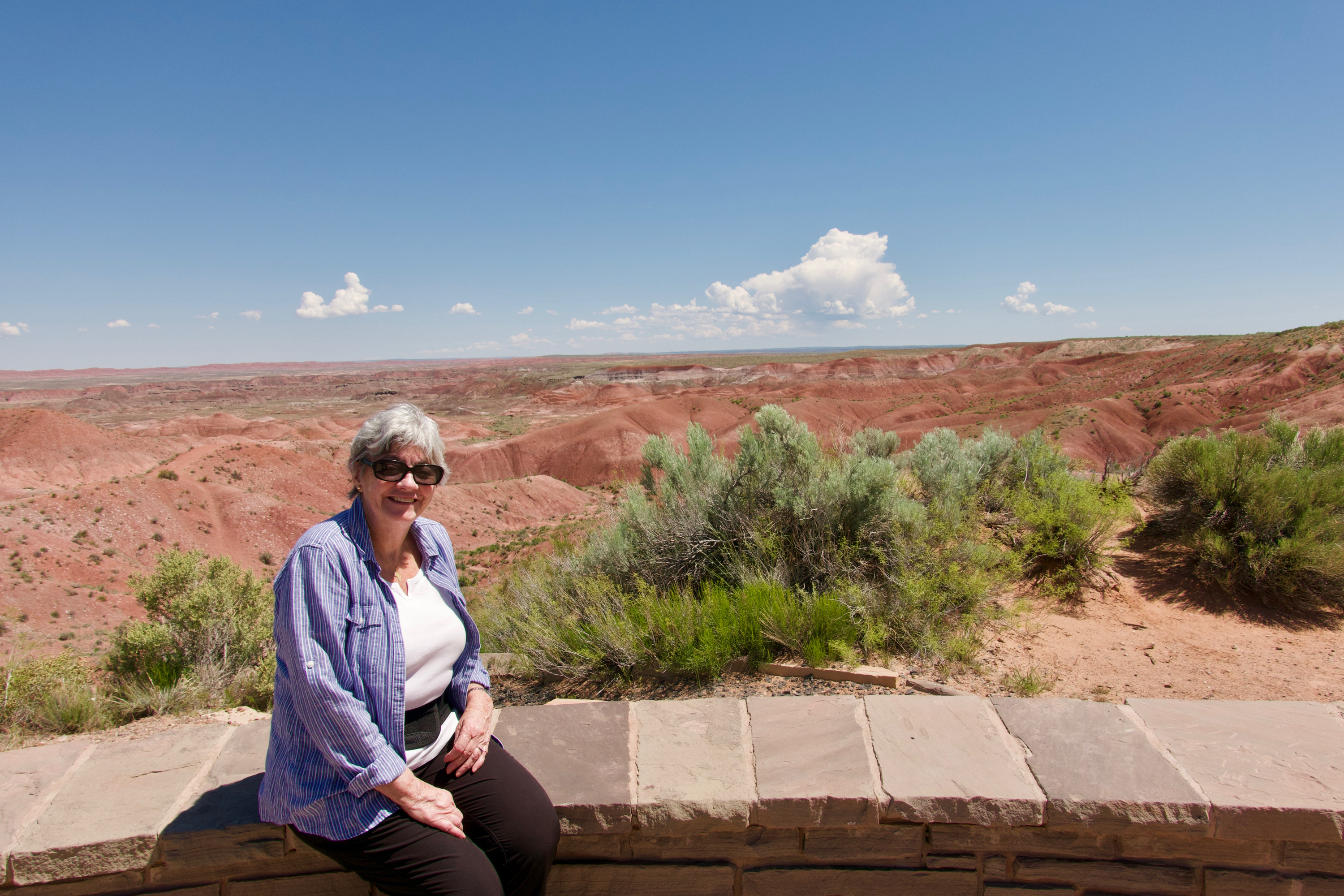
As it was warm and the sun was shining, we made a flying return to the Painted Desert and stopped at the same overlooks we had visited on our first trip west in 2014. That time it was cold enough to chill the proverbial monkeys! This time it was lovely and the sunlight made the colors so much richer.

But we made it to Flagstaff in time, met up with friends at the KOA and headed to Overland Expo. And the new wheels and tires? Round and wonderful! We could make as much as 60 MPH!

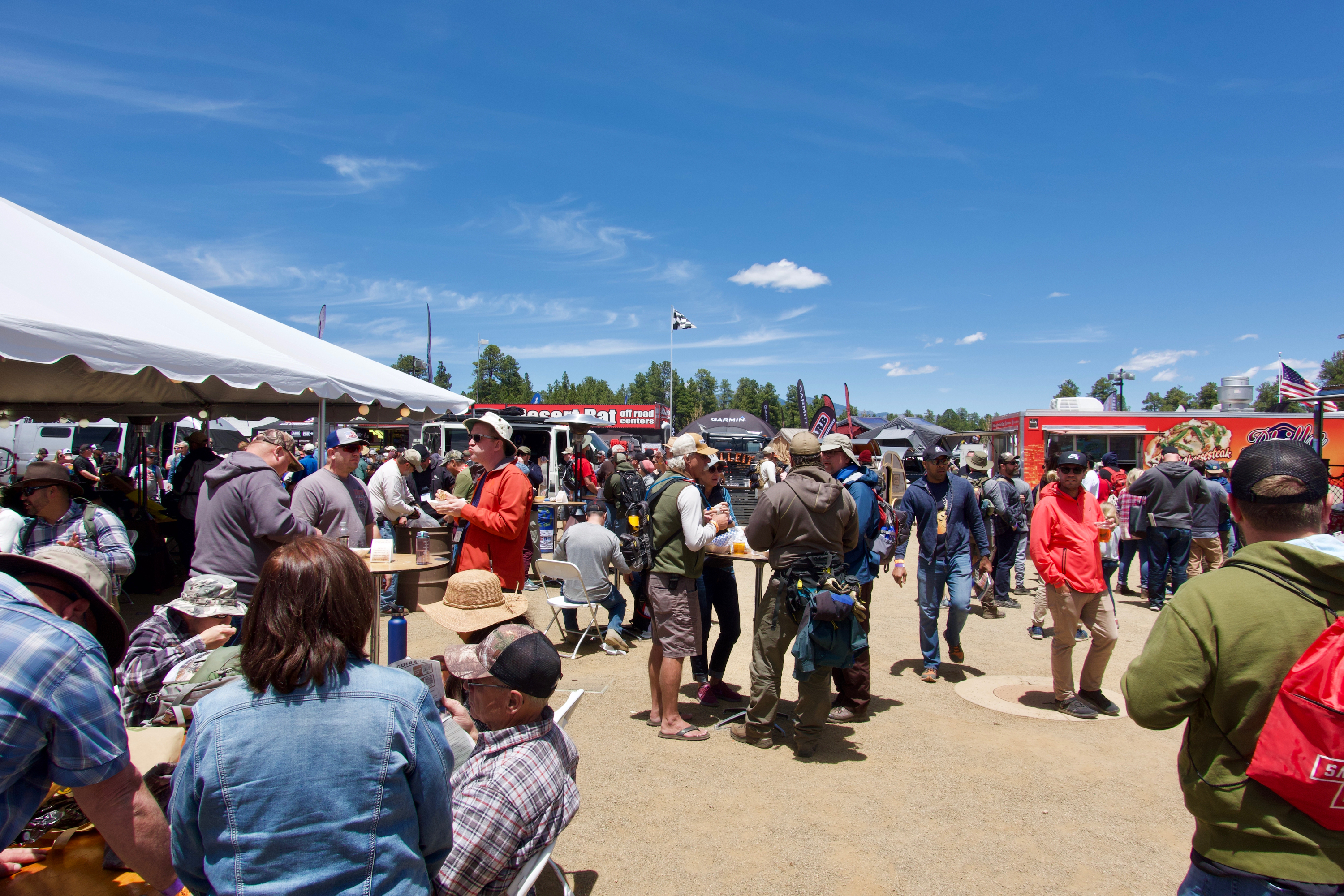
Overland Expo is in a new venue, Fort Tuthill Park, which is right in Flagstaff, a boon for day trippers and those who stay overnight in hotels. The event is now up to 22,000 people, and, as Denise’s brother would say, it was “heaving.”

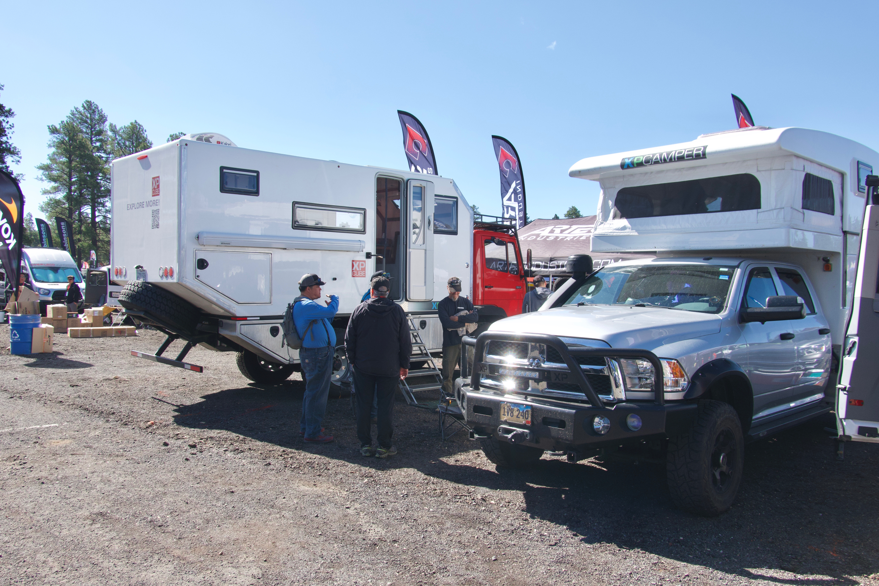
We showed the 917 at the XPCamper display and were busy dawn to dusk.

We were able to slip away and catch Dan Grec’s wonderful presentation on West Africa. (http://theroadchoseme.com)

Fred was also able to catch a presentation on driving to the Eye of Africa: https://en.wikipedia.org/wiki/Richat_Structure a cool looking hole that can only be appreciated from space. Go figure! Still, we may put it on our agenda for the coming years. This link gives a good impressionistic view of the event: https://americanadventurist.com/overland-expo-west-2019/

True to the history of Overland EXPO in Flagstaff, it snowed on Monday morning!

We even saw Rob and Nina Blackwell’s old truck in the camping area. The new owner is said to be delighted with it. (http://whiteacorn.com)

An old friend from EXPO’s past. (This is the truck they drove across Asia to Europe.)


Turning Towards Home

Now it was time to head south and we decided to make another stop in the Hudson Valley of New York State to help our daughter celebrate her birthday.  But before leaving Canada there was a monastery that Denise wanted to visit.  First, because she had never gone to a monastery before and second, they were known for cheese making and Gregorian chant in a modern style, both of which appealed.

So we headed for the Abbaye St Benoit du Lac (https://abbaye.ca/index.php/fr/) tucked away in the southern edge of Quebec south of Magog.  (Gog and Magog? What could go wrong?)  The  Abbaye was founded in the early 20thcentury by French monks of the Benedictine Order, after being banished from France (who knew that monasteries had ever been banned in France?) and had been built in stages, mostly quite modern.  The church was built on more traditional lines.  We took part in an interesting tour and attended part of the daily Mass, which included chants. We then headed to the store for a selection of cheeses and of course, a CD or two.  We completed our visit to the area by buying some fresh crusty bread and proceeded to eat lunch by opening one of our new cheeses.

We then headed for the US skirting Montreal and crossing over the border near the St. Lawrence Seaway at Cornwall.  The crossing was uneventful, but it occurred later that this was such a small post that an expedition vehicle might well have raised eyebrows.

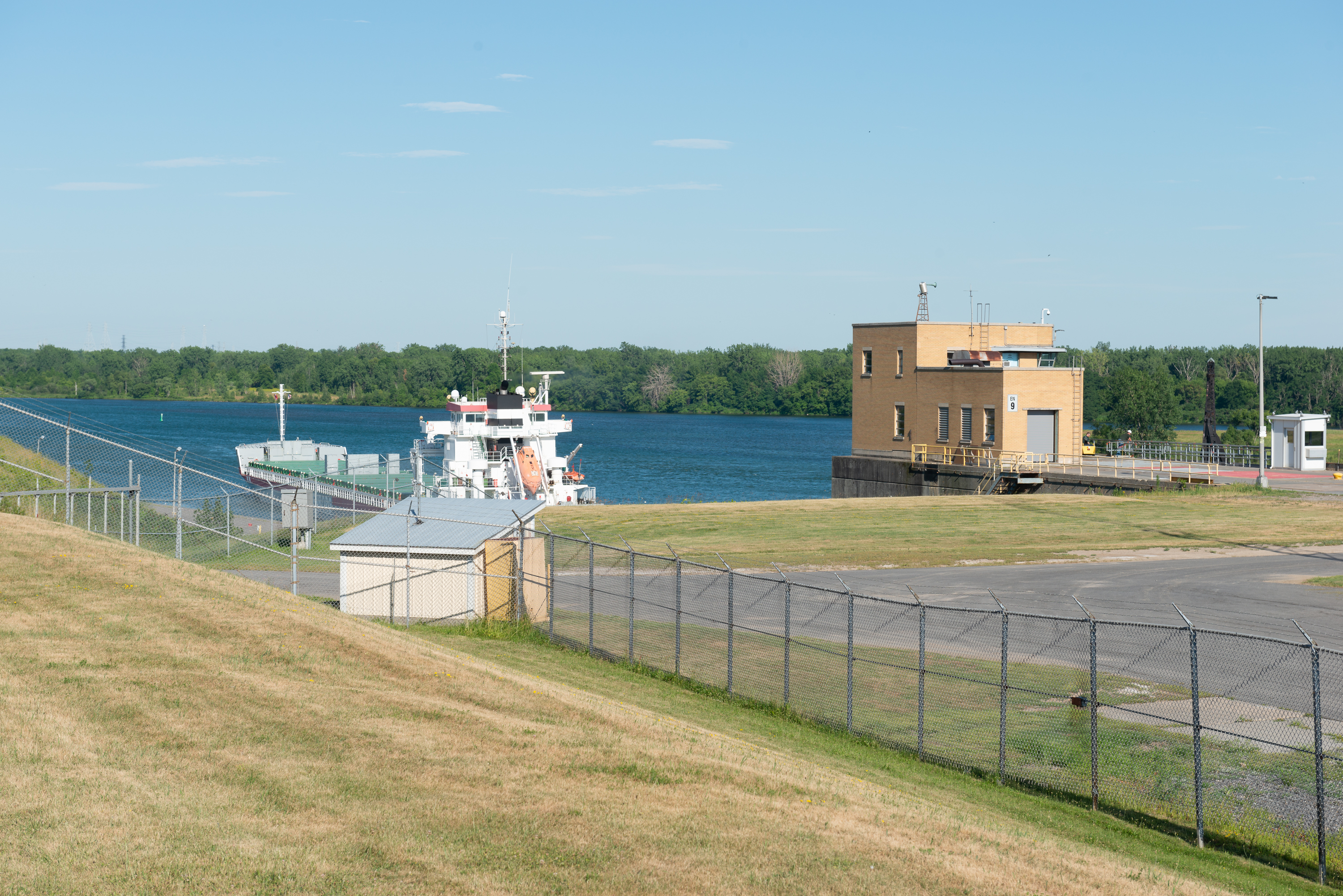
Fred had long wanted to visit the Seaway, having seen the old Walter Cronkite film as a child. (https://www.seaway.dot.gov/explore/video-about-the-seaway) And, of course, having lived in Panamá, transited Suez, and spent time on an English canal boat, we are ALL about canals! But neither of us realized that most of the viewing points for locks are on the Canadian side.  We did however discover that the Eisenhower Locks were next door to the Robert Moses State Park (https://parks.ny.gov/parks/51/details.aspx) and that the park has a campground, right on the Seaway. So we headed there.  As it was close to 5 pm, we headed first to the Park office to see if there was a space available.  Indeed there was and we acquired an electric only space (all that was available) in one of the two campgrounds.  From one of the lookout areas we then watched a ship go through the lock before heading to our campground.

Only the ship’s bridge is still showing over the top edge of the lock.

Leaving the lock and heading towards the Atlantic. The next lock is about a mile downstream, across a small lake.

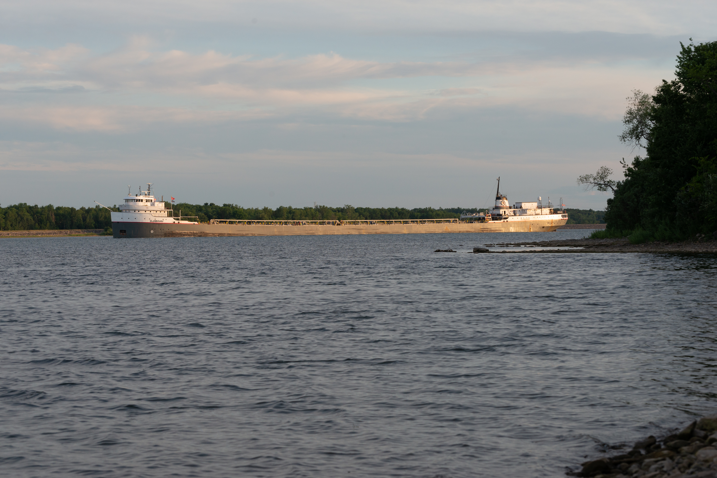
This was a lovely site, nicely wooded with a path leading to the water’s edge.  Blue approved and went to explore the beach.  Fred looked up the time of the next ship passing the locks and walked out to the water to watch its passage and take a photo or two.

A classic Great Lakes ore carrier came into view.

And lined itself up with the lock chamber.

We knew that the weather was supposed to worsen overnight. And indeed it did.  We awoke to pouring rain and set off to visit the Visitor Center in cloudy, cool weather.  There were no ships due to pass but we enjoyed the film of the creation of the Seaway (the same film that Fred had seen at the cinema once in the 50’s). (https://www.seaway.dot.gov/explore/visitors-center)

We spent the day heading east and then south through New York before stopping for the night in Lake George.  We took a site at the Lake George Battleground State Park campsite, which is right in the center of town.  This made it easy to decide to go out for dinner.  The weather had improved during the day and the sun was shining so we Googled restaurants in walking distance and decided to try what looked like a reasonable Indian restaurant (http://www.tandoorigrilllakegeorge.com/menu.php) just up the road.  We left the skylight in the camper wide open to cool it and with not even an umbrella between us, headed out.  Well, just after we placed our order, the heavens opened and it poured.  Fred raced back to the campground to close the skylight to prevent us having a totally wet bed and drove the truck back to the restaurant, as there was parking available.  Soggy Fred arrived back in time for his dinner and we had a lovely meal before driving back to our site in shining sun again!  The food was so good that we ordered more and packed the fridge so as to offer an Indian meal to my daughter and her family the next night!


Quebec City

We headed south through Quebec on the first rainy day we had experienced in ages! So, as we had no campground reservation, our priority was a stop at the campground we had selected as our first choice, Camping de la Fort de la Martiniere (http://www.campingdelamartiniere.com/index_en.html) where we hoped to spend three nights. There was room for us and we verified the information we had seen on the campground website about how we were going to get to Quebec City across the river the next morning. And yes, there really is a fort de la Martiniere, right next to the campground; http://www.fortwiki.com/Fort_de_la_Martiniere 

Next morning dawned bright and sunny though cool and we set off on our day’s jaunt. This involved first a fast walk to the bus stop about a kilometer away (a fast walk as we were a little late leaving and did not want to miss the bus). The bus arrived on time and we then had a pleasant 20 minute ride to the ferry terminal. We paid for round trip tickets and went on board the ferry to Old Quebec. It was rather nice to have a short cruise across the river included in our day! (https://www.traversiers.com/en/our-ferries/quebec-city-levis-ferry/home/) 

Quebec from the river with our twin ferry leaving the Quebec side.

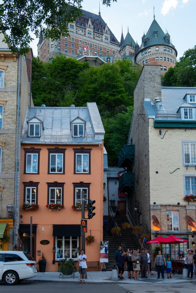
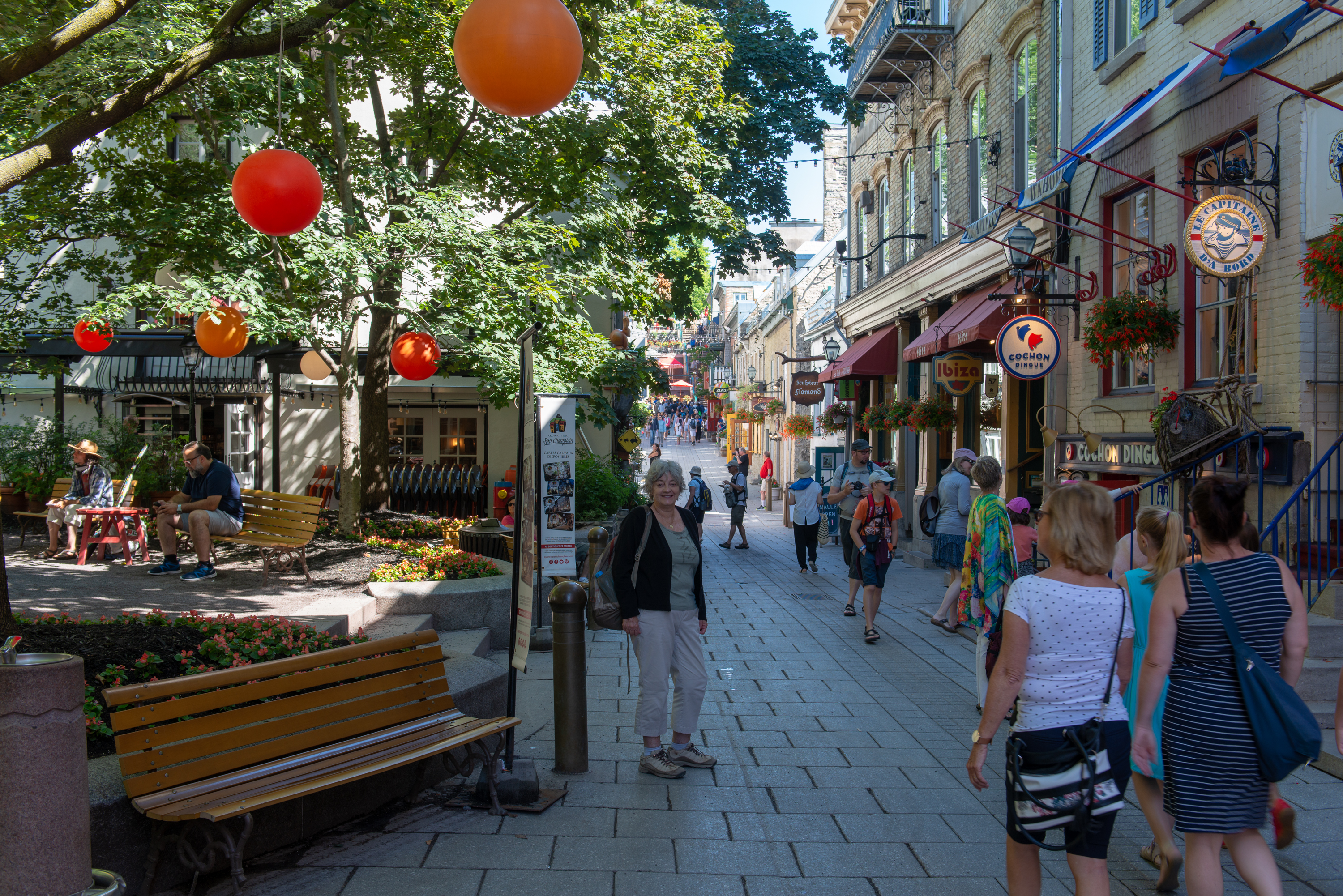
Once there, we disembarked and headed for a cup of coffee. We went up a narrow staircase to the Rue Petit Champlain and found a lovely coffee shop, open to the street where we could view the passers by and catch our breath. (https://www.chocolateriegigi.ca) The coffee and the goodies were wonderful! The streets in the old section were narrow, decorated with a myriad of flower baskets and pots and charming in a very European way. They were also packed with tourists. And of course hearing French spoken all around made it seem quite European, even if the accent was quite different.

We wandered up the street to the Place d’Armes (which brought back memories of Plazas de Armas, squares of the same name all over South America) via the nifty funicular, a kind of open air elevator. 

From the Place d’Armes we could enjoy views of the Fairmont Chateau de Frontenac, the iconic hotel which overshadows the city and is in every postcard. (https://en.wikipedia.org/wiki/Château_Frontenac)

Fairmont Hotel. The funicular top terminal is just to the right of the picture — looks like a door.

Statue celebrating faith.

Alas, the timing was wrong for tea! (But then we probably could not have afforded it. And we’ll skip our usual rant about the Canadians ending tea service just when it should begin!)

We decided to take a hop on-hop off bus as these are usually a good way to get a feel for a new town and indeed we were taken on a tour of some of the outer areas which we would never have found.  We “hopped off” to have lunch on the Grande Allée.

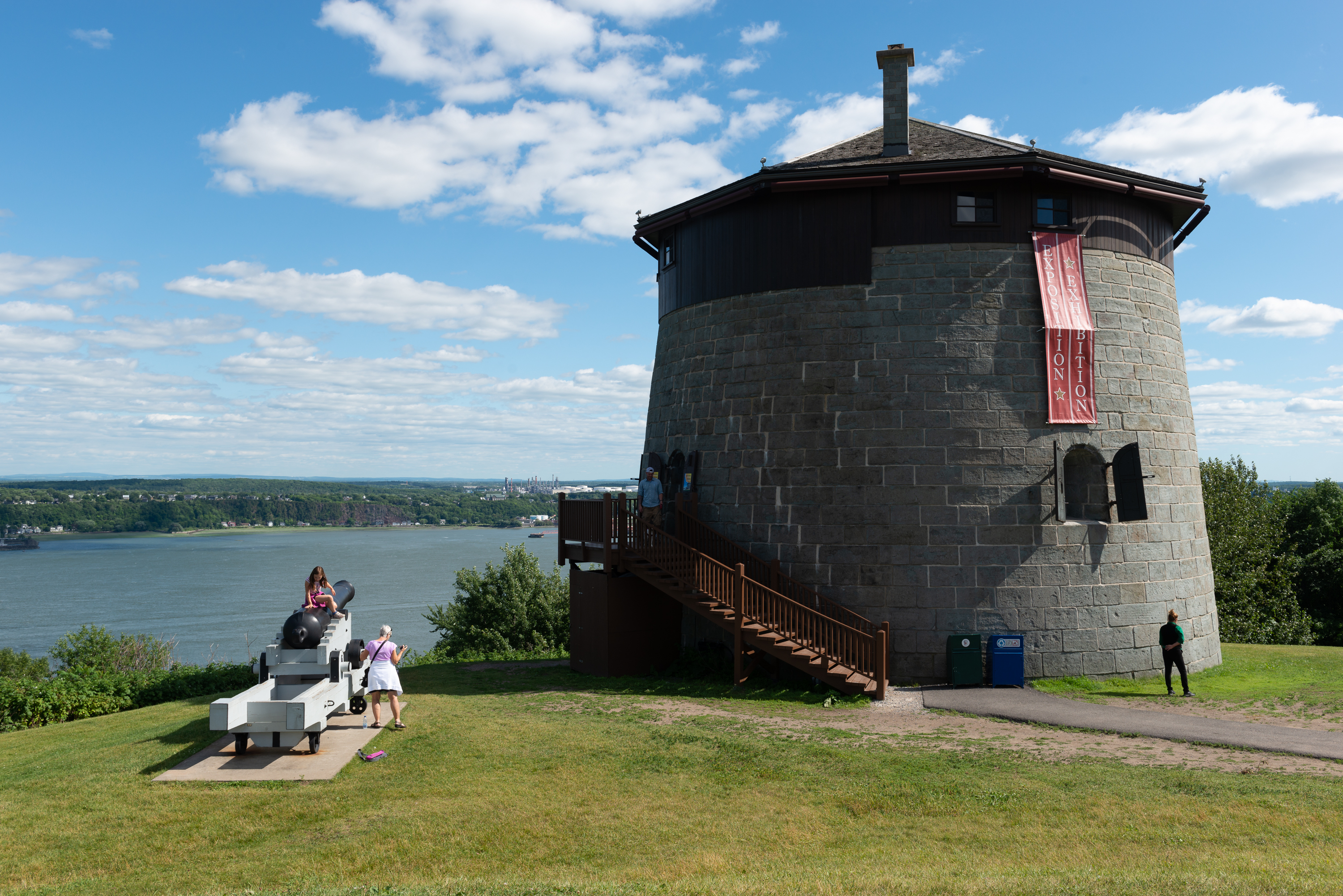
After lunch we walked across to the George V Square to the Museum of the Plains of Abraham. (http://www.ccbn-nbc.gc.ca/en/) Here was our opportunity to learn more about the role played by Quebec in the Seven Years War (or French and Indian War as it was known in the English colonies) in an excellent setting with lots of hand on information of the era and an excellent audio-visual portrayal of the Battles for Quebec. Our visit ended with a bus tour of the actual Plains, which, to our surprise were really hilly and not plains at all! We got off at one of the four Martello towers built in the surrounding area.  The tower was used to store armaments and for protection. Fred was intrigued – a type of fortification that he had never heard of! (https://en.wikipedia.org/wiki/Martello_tower) 

The wooden roof is a concession to the bitter Quebec winters. In war time it would be removed. Fans of the Tower of London and similar Norman forts will recognize the external wooden ladder which leads to the only door, well above ground level.

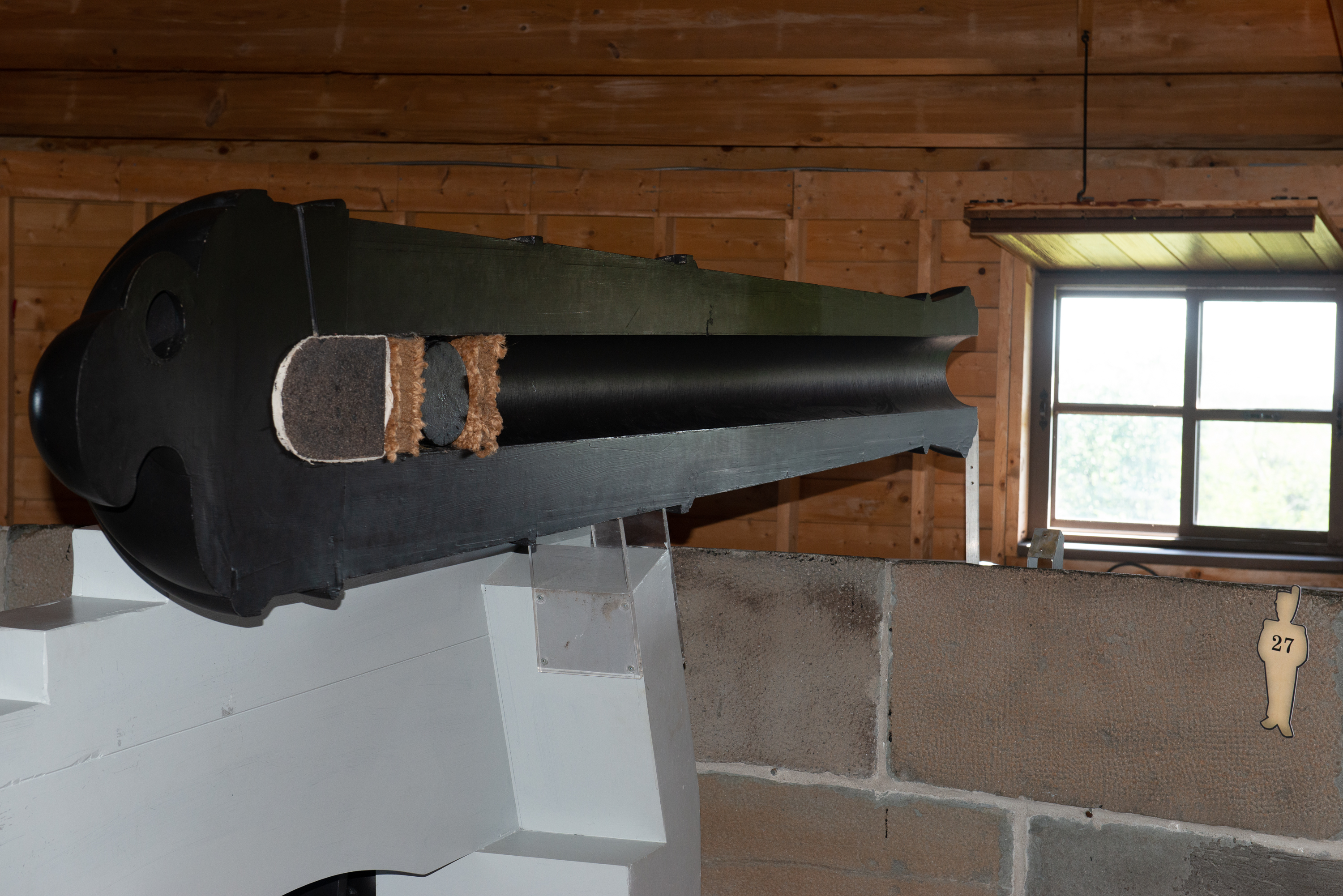
Pivot gun replica. For those of you who have wondered how to load a Civil War era cannon …

We then walked back along the Governor’s Walk on the edge of the Citadel (a functioning military camp) to our coffee shop for another coffee, this time with ice-cream.  It was a long hike and we had earned our coffee.

Heavy lift ship coming up the Saint Lawrence towards Montreal.

Ferrys passing mid river. Levis in the background. Our campground was some miles beyond, down the river to the right of the picture.

Then back to the ferry for the trip back to our campsite. We had to run and jump in front of the bus, but the driver was charming and helped us find our stop. The “forumule” of bus and ferry was a hit!

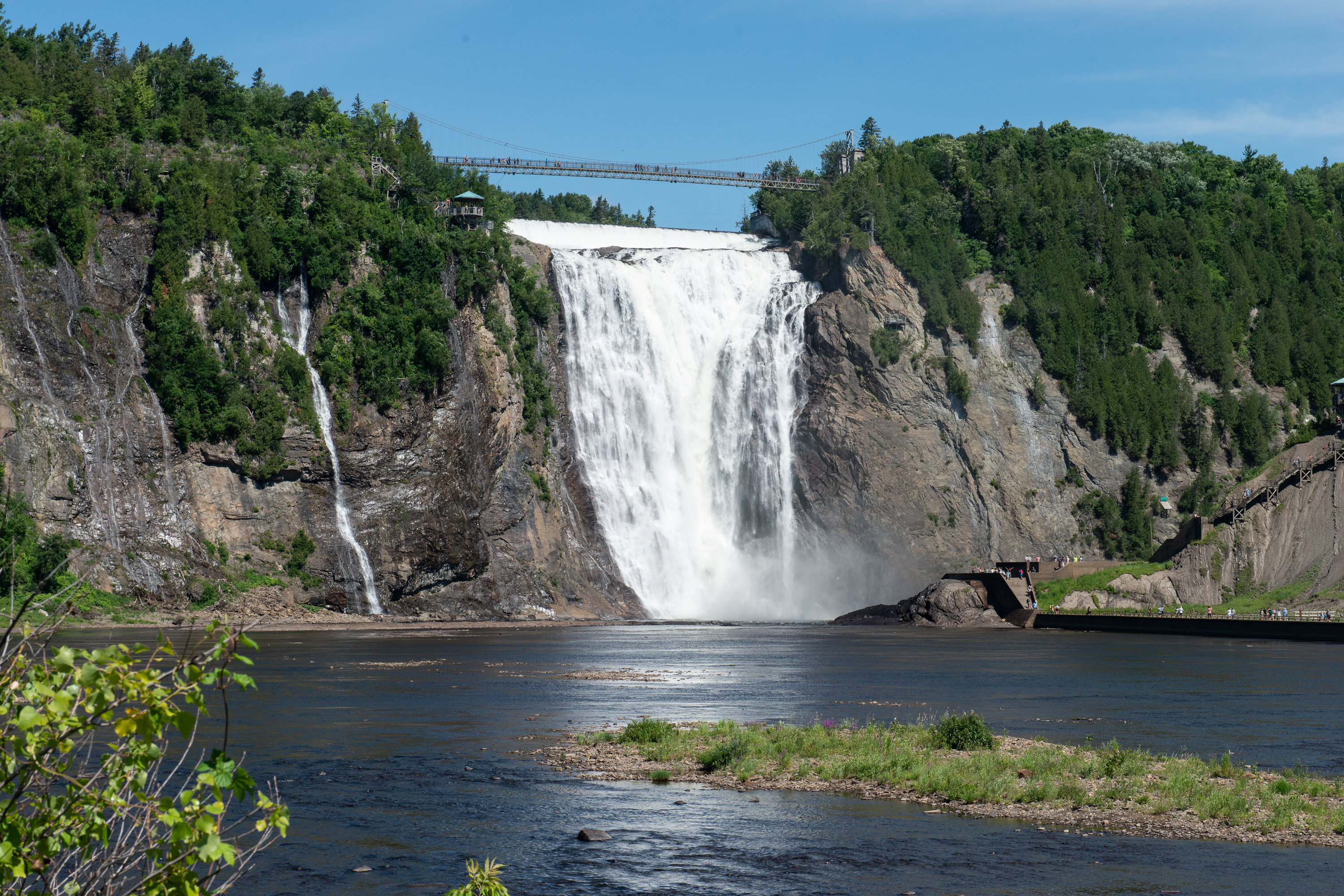
The next day we decided that the weather was too nice for a museum (although the Musee de la Civilization did beckon) so we headed to the Montmorency waterfall. This involved crossing the St. Lawrence on a bridge that prohibited trucks (Ooops!) and a sojourn through a residential neighborhood or two – funky GPS! The falls are quite spectacular even in a time of drought and after admiring from below, we took the cable car up to the top. 

There we crossed the suspension bridge to admire the falls from above.

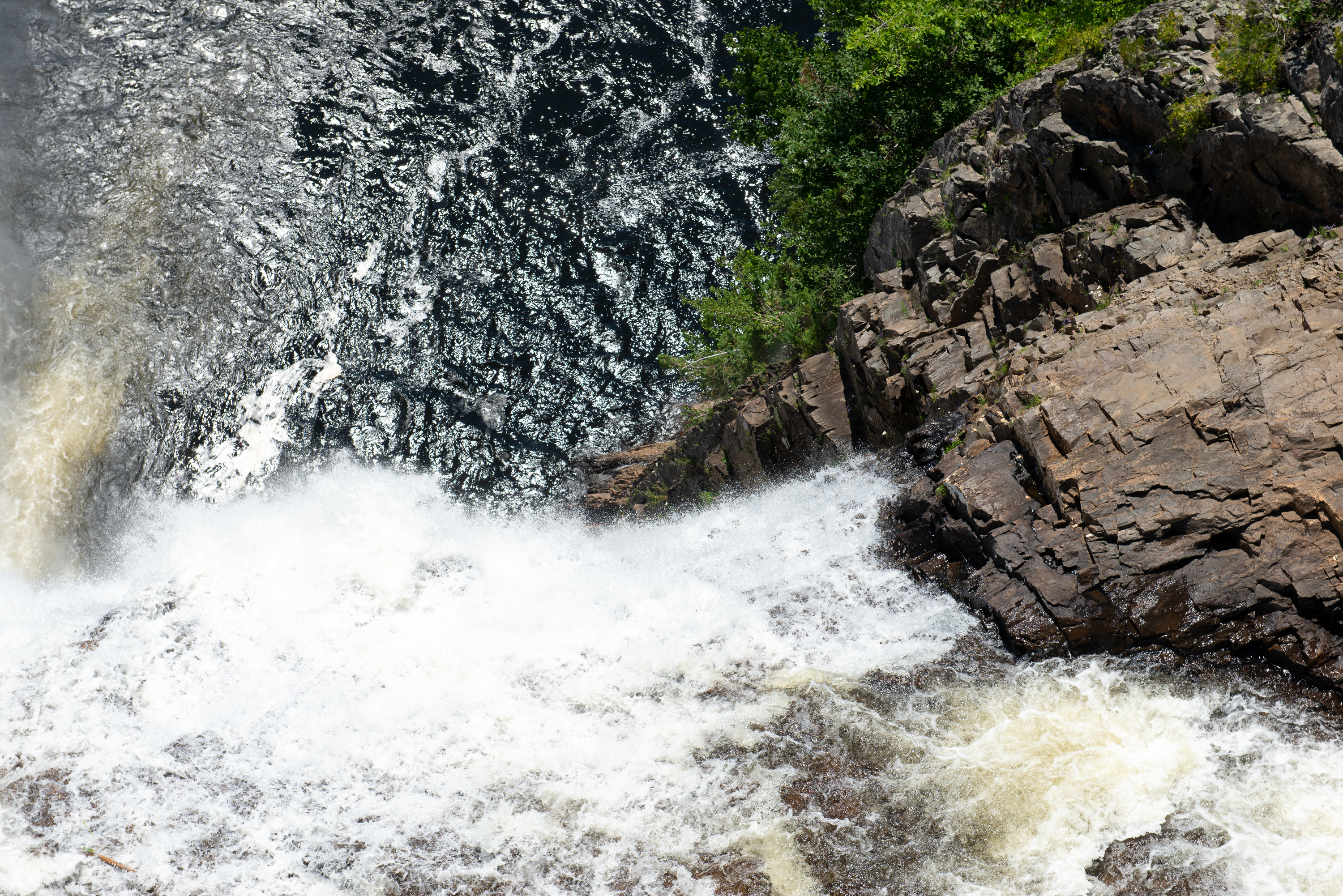
After our return to the base of the falls, we wandered closer to the actual falls, to the point where the spray was getting us wet. 

Back at the campground we enjoyed the spectacle of a cruise ship coming up the Saint Lawrence in the sunset.

New Brunswick Part Deux

After leaving Prince Edward Island, we headed north in New Brunswick up the eastern coast.  We were heading for the Acadian Historical Village (https://www.villagehistoriqueacadien.com/en) but decided to stop along the way at the Aquarium in Shippagan. (http://aquariumnb.ca/site/en/home) The Aquarium was small but dedicated to fish and other sea creatures found locally and there was a short video explaining the importance of the cod fishing industry to the region also. As noted in our post on Louisbourg, the importance of Cod fishing in the 1600’s is one of those aspects of history which had completely escaped us. Like most people, we never understood why the name “Cape Cod” was so important back in the day. The visit was most interesting because, unlike most large aquariums, the focus was entirely local. The best part was the seal pool and the feeding of the three seals, Nina (the glutton), Oceania (an aged seal) and D’Amour (the youngest). (https://www.cbc.ca/news/canada/new-brunswick/seal-pup-born-in-shippagan-aquarium-1.1231465) They enjoyed performing for the crowd and both earned and enjoyed their herring dinner!

We then headed to the Shippagan Town campsite, a task made easier by big green signs painted directly on the road. We took our usual unserviced site. (http://www.camping.shippagan.com) This one, however, was buried in the woods and was beside the bay with spectacular views and we enjoyed a stroll along the wooden boardwalk after supper 

_ND88305

_ND88306

Quite lovely. The mosquitoes were fierce but vast quantities of repellent helped with that.

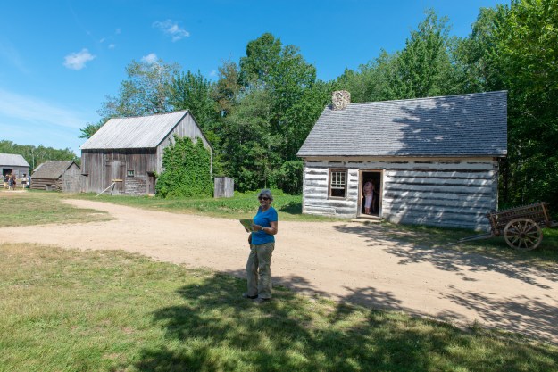
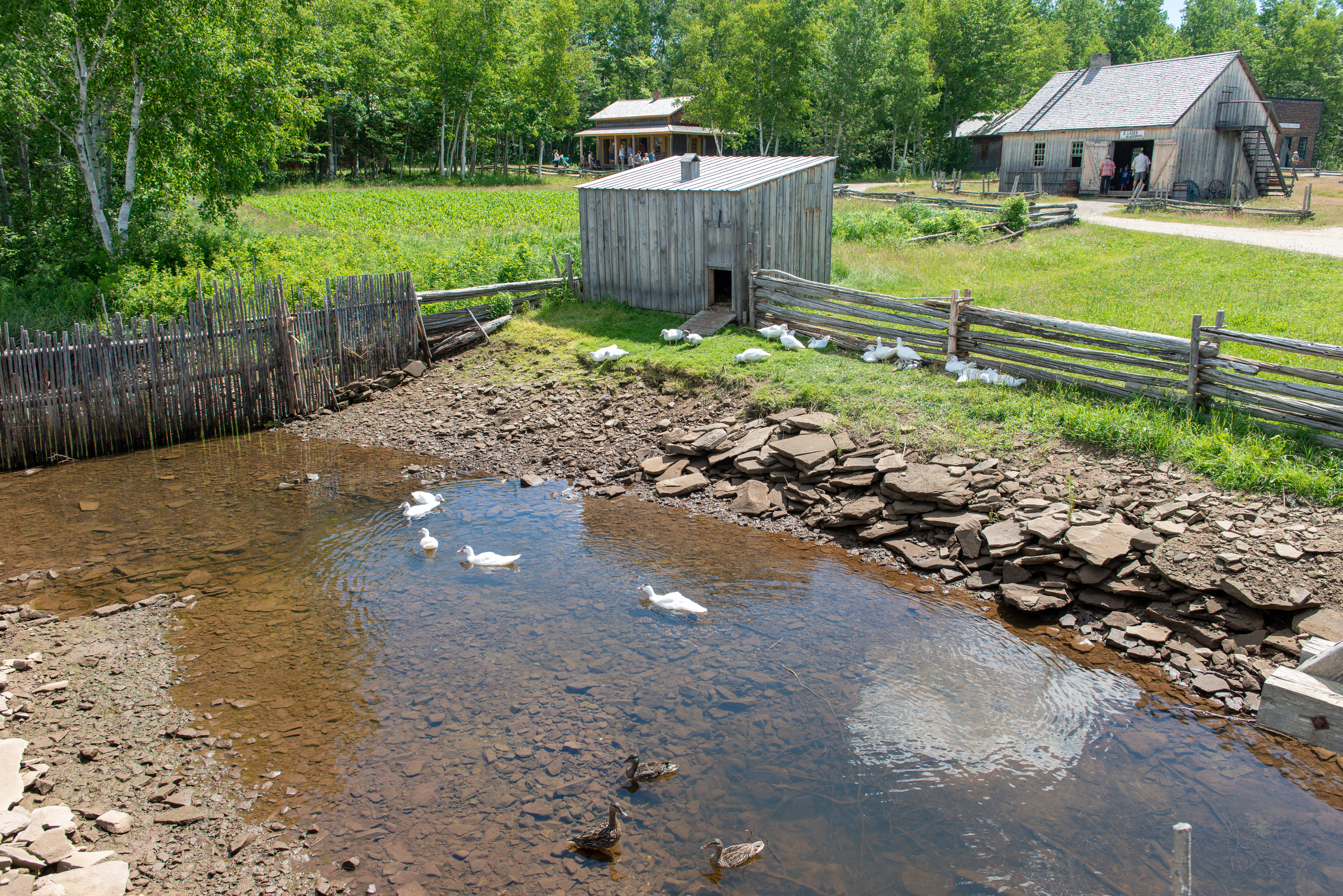
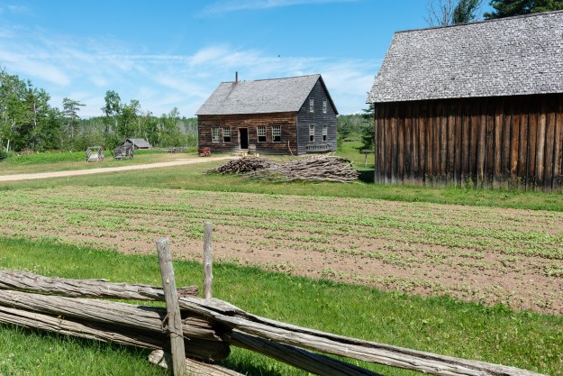
We had trouble finding the Acadian Historical Village as it was shown in the wrong place on our map and the GPS had no record. A nice gentleman gave us directions and we found our way to a fascinating visit. The village has relocated and restored old building, homes and businesses, dating back to 1770 and showing aspects of Acadian life up to 1949. (Think Dearborn Village, the Weald and Downland, and similar collections.)

_ND88310


Dear pig, are you willing, to sell for one shilling, your ring? Said the piggy …

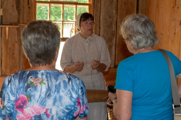
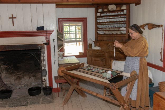
Denise was fascinated to discover flax growing outside one home from the late 1700’s.  Inside, the costumed interpreter in period dress showed how the flax stalks were prepared, spun and then woven into a light weight linen fabric. 

_ND88324

_ND88327

This was used to make clothing and bedding.  There were examples of wool being spun, rugs being hooked and other household needs being made.

_ND88322

It was also fascinating to see the progression in the stoves throughout the ages. All using wood to burn, they became more sophisticated as the centuries passed.  

Fred loved the early garage with old fashioned pumps and three Model T Fords in the garage.

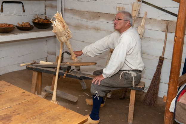
There were several industries in the village as well, a grist mill, a cooper’s shop, and, of course, the gentleman making brooms the hard way.

One can still spend the night in the 1920 hotel, though of course, we did not.

We did ride the farm cart AND the electric bus around the village one time before leaving, which was great fun.

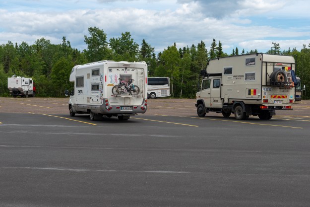
Fred noticed a Belgian Camper in the parking lot as we left, built on a Mercedes truck similar to the 917.  The family were not around however so we could not exchange notes. They do not appear to have a website, but they are on Facebook: https://www.facebook.com/Adamis-on-the-road-1589720364408143/

_ND88364

Next stop Quebec City!

The Search for Anne of Green Gables and other Forays

We spent ten days in Cape Breton and loved every minute of it, but it was time to move on. We now headed towards Prince Edward Island to learn about the life of Lucy Maud Montgomery, who wrote Anne of Green Gables and its sequels. Denise read these as a teen and Fred has now discovered them, courtesy of “Anne with an E.” (https://en.wikipedia.org/wiki/Anne_(TV_series))

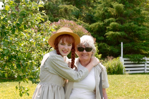
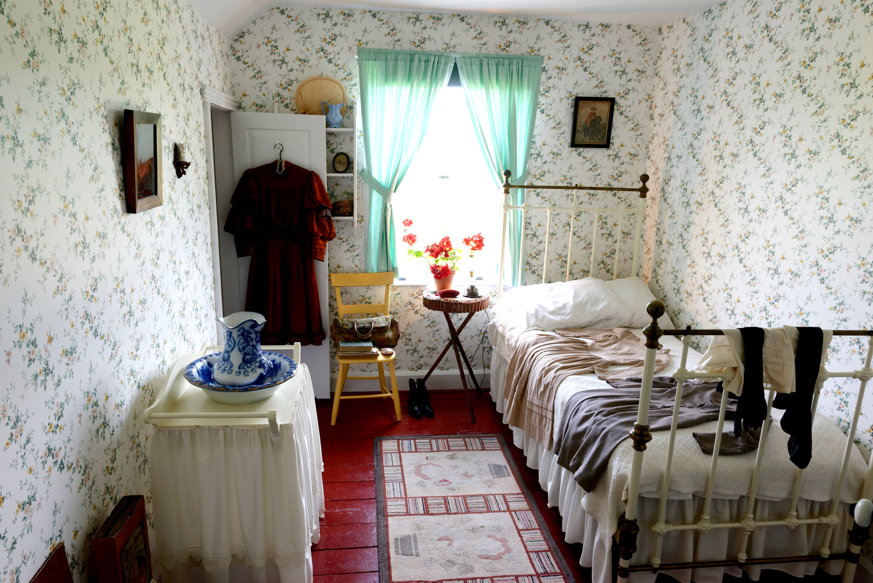
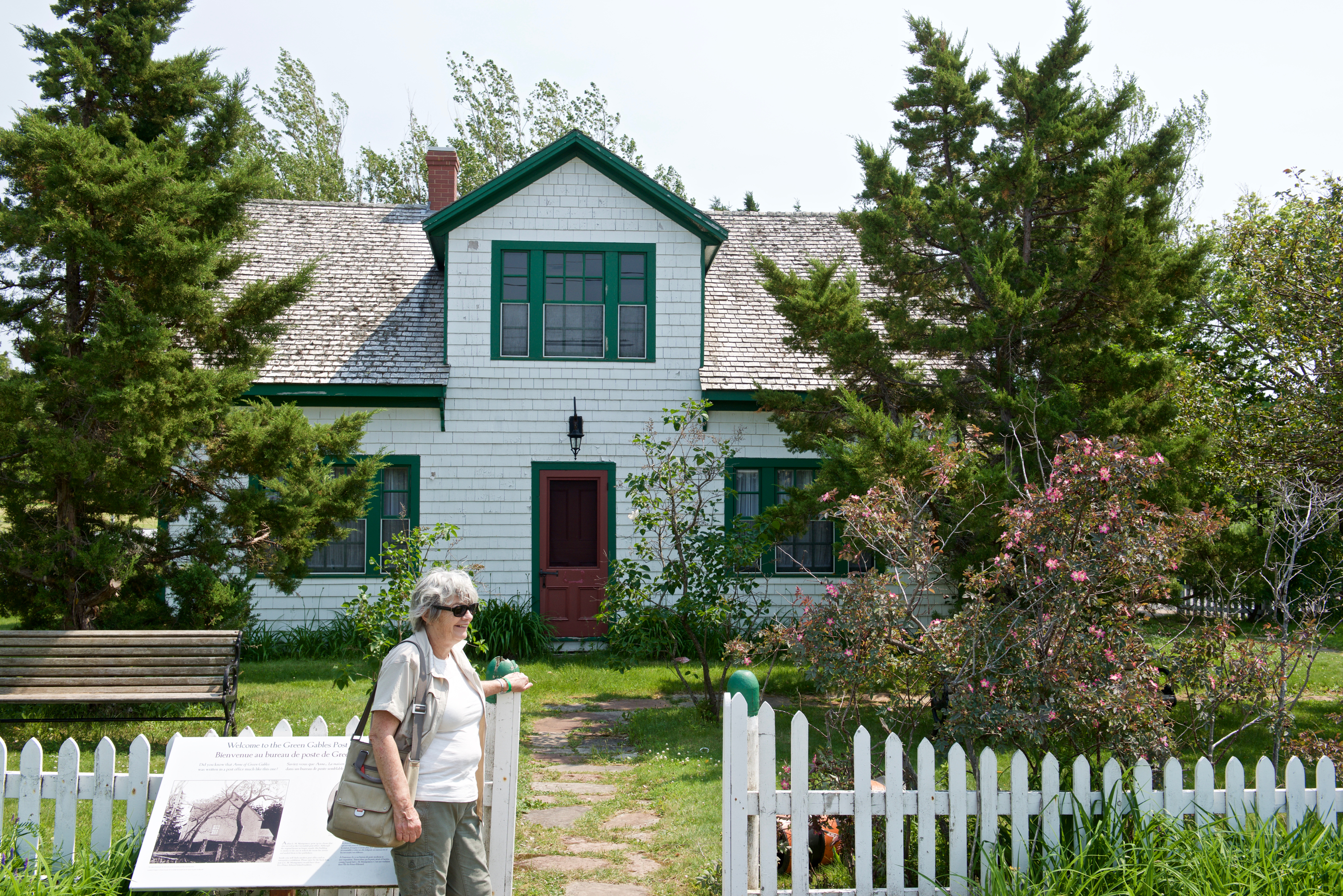
We went to the Prince Edward Island National Park in search of a campsite for three nights and were happy to get a site at the centrally located Cavendish Campground.  There was a delay before we could take possession so we headed off to the the Anne of Green Gables Heritage Site, which is part of the National Park.  There we viewed a house dressed like Green Gables, as described in the book, and furnished appropriately. 

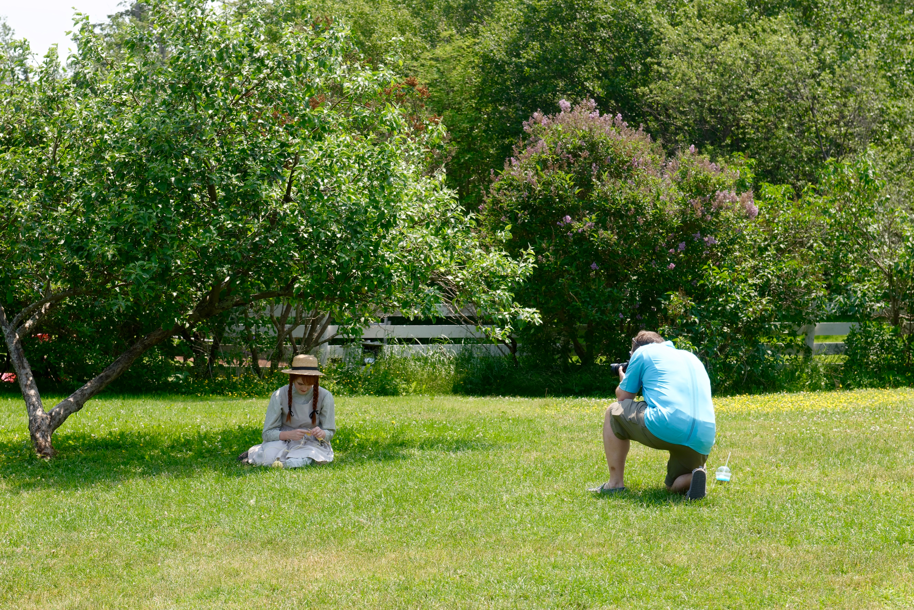
We had arrived in Cavendish at the tail end of a large music festival and lots of people were attending that so the Green Gables site was not packed with people.  People were photographing “Anne” sitting under a tree with her knitting!

We then headed down the Haunted Wood Trail towards the site of Lucy Maud Montgomery’s grandparents’ home.  The building is long gone and we declined to pay to visit an open field.  But then we made a serendipitous find – the Post Office.


Lucy Maud Montgomery served as assistant postmistress for many years. (http://cavendishbeachpei.com/members-operators/cavendish-post-office/) Still a functional Post Office, it houses a small museum set up as a post office of that era, filled with exhibits and memorabilia. 

Arguably a more authentic display than the Green Gables recreation.

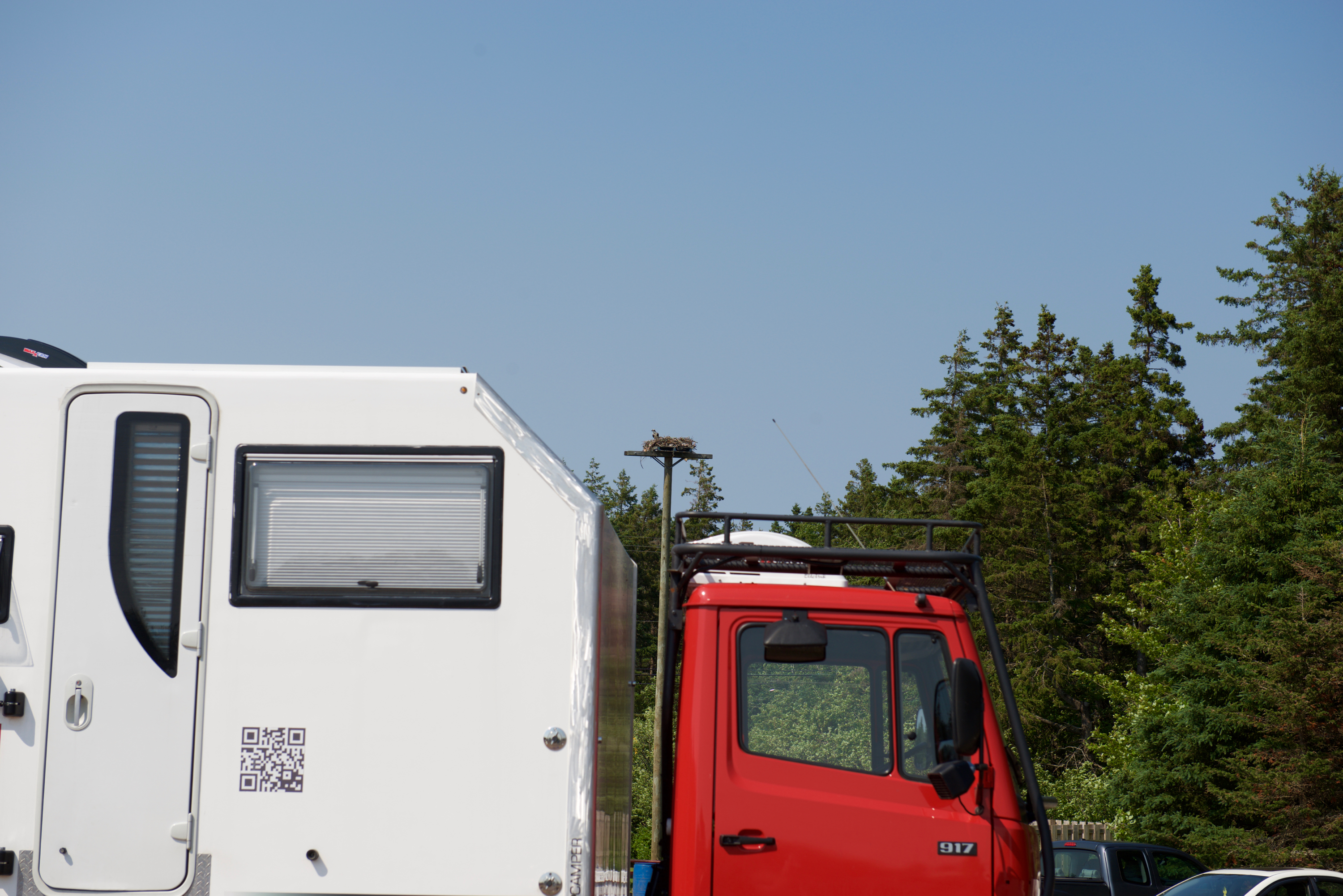
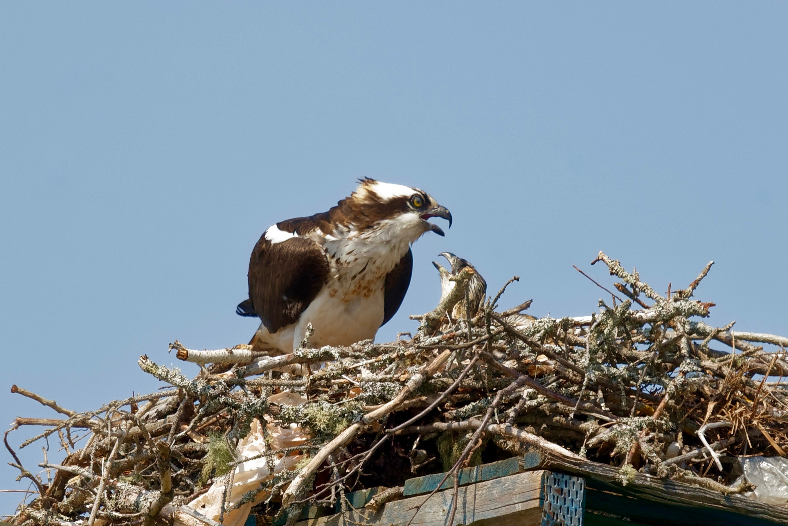
Back in the parking lot, we stopped to admire a mother Osprey and (greedy) chicks.

Wait until daddy gets here with dinner!

Continuing our themes of music and history, we headed next to the Acadian Musical Village in Abrams Village, where we hoped to eat a lunch of traditional Acadian food and hear some Acadian music.  (https://www.villagemusical.ca) On the way, we stopped at the Acadian Museum in Miscouche, where displays and a video gave us additional  historical context for the various Acadian expulsions by the British during the Seven Years War.  (http://museeacadien.org/an/)

Mischouche Church

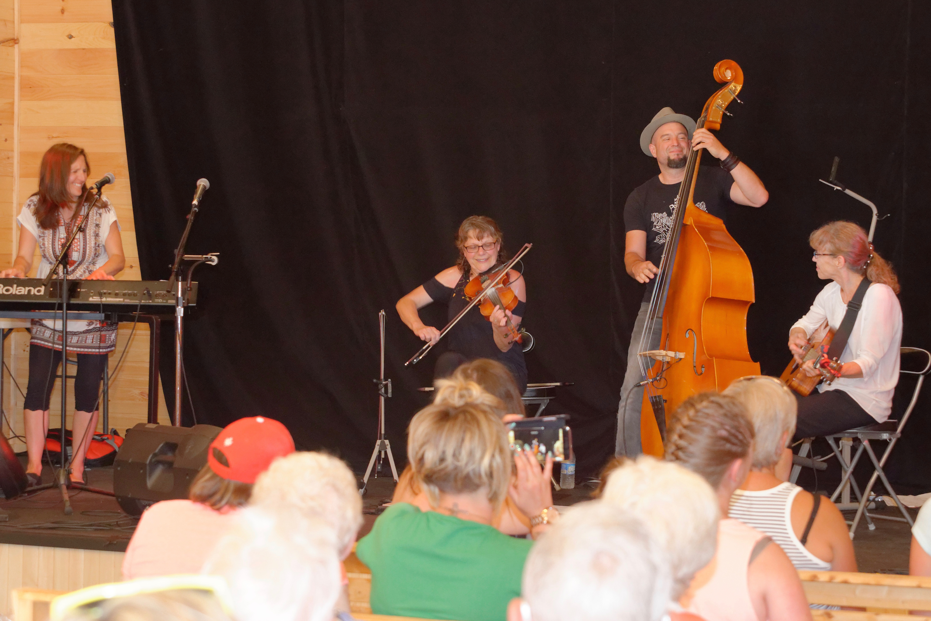
Unfortunately the restaurant at the Musical Village was overwhelmed with a very large group so we were unable to eat lunch there.  Fortunately, there is always food in the camper!  But we thoroughly enjoyed the music by the group Gadelle.  (https://www.facebook.com/rootsmusic/) There was a difference in the style with more singing of old French songs, though many similarities remained, especially in the fiddling and the foot stomping.


On our final day we assembled the bikes and discovered the Homestead Trail from our campground.  It was a pleasant ride, along the bay and through farmland. We concluded with a ride down to the beach.  It was so windy that it was unpleasant but there were still a lot of people on the beach.

Denise would have liked her picture by the giant potato at the Potato Museum but we did not happen to pass by it (and it was not that important).  Who knew that potatoes were such an integral part of the PEI economy though? We passed field after field of them.  Prince Edward Island reminded us a great deal of England, only an England with more firs than deciduous trees and much larger fields.

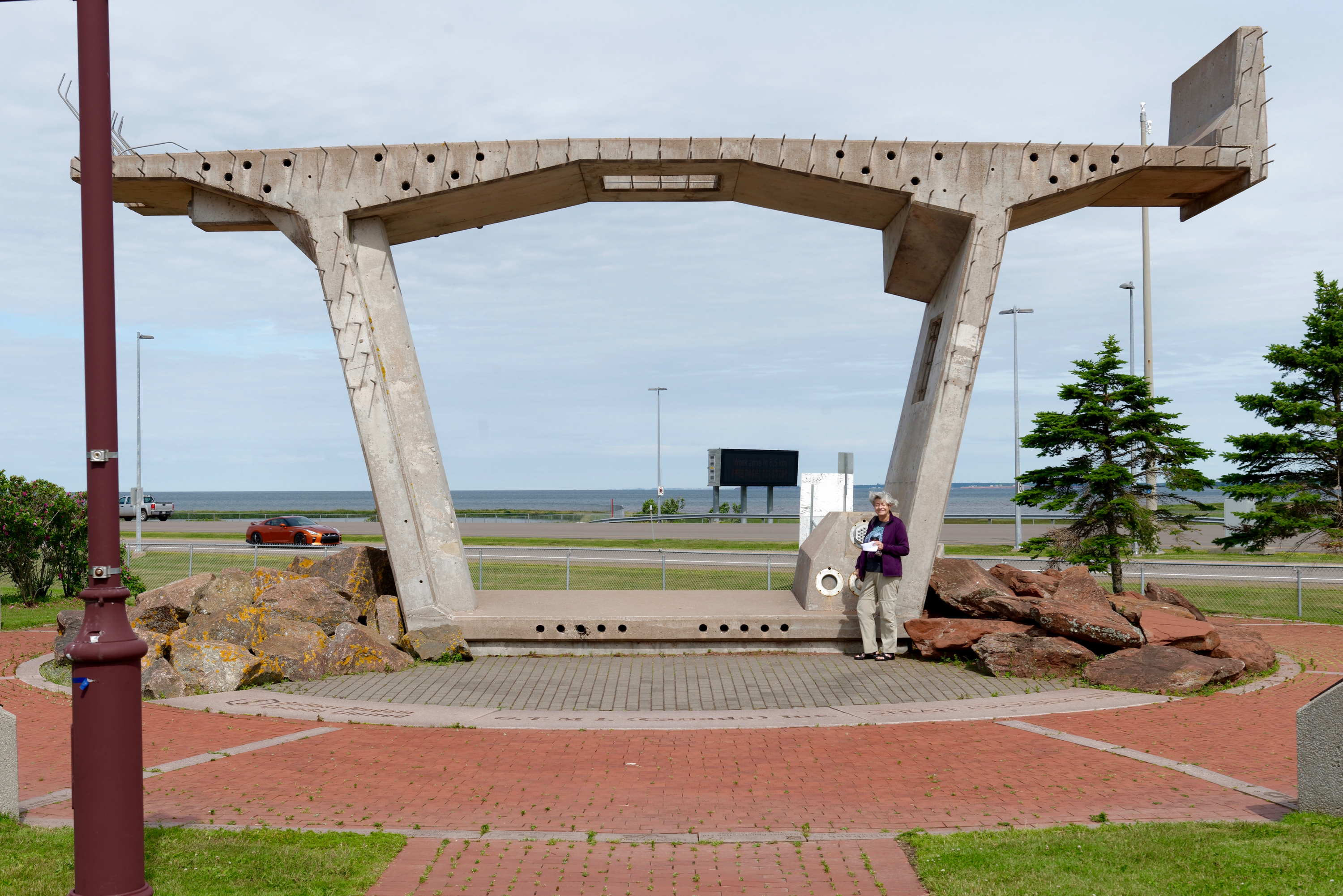
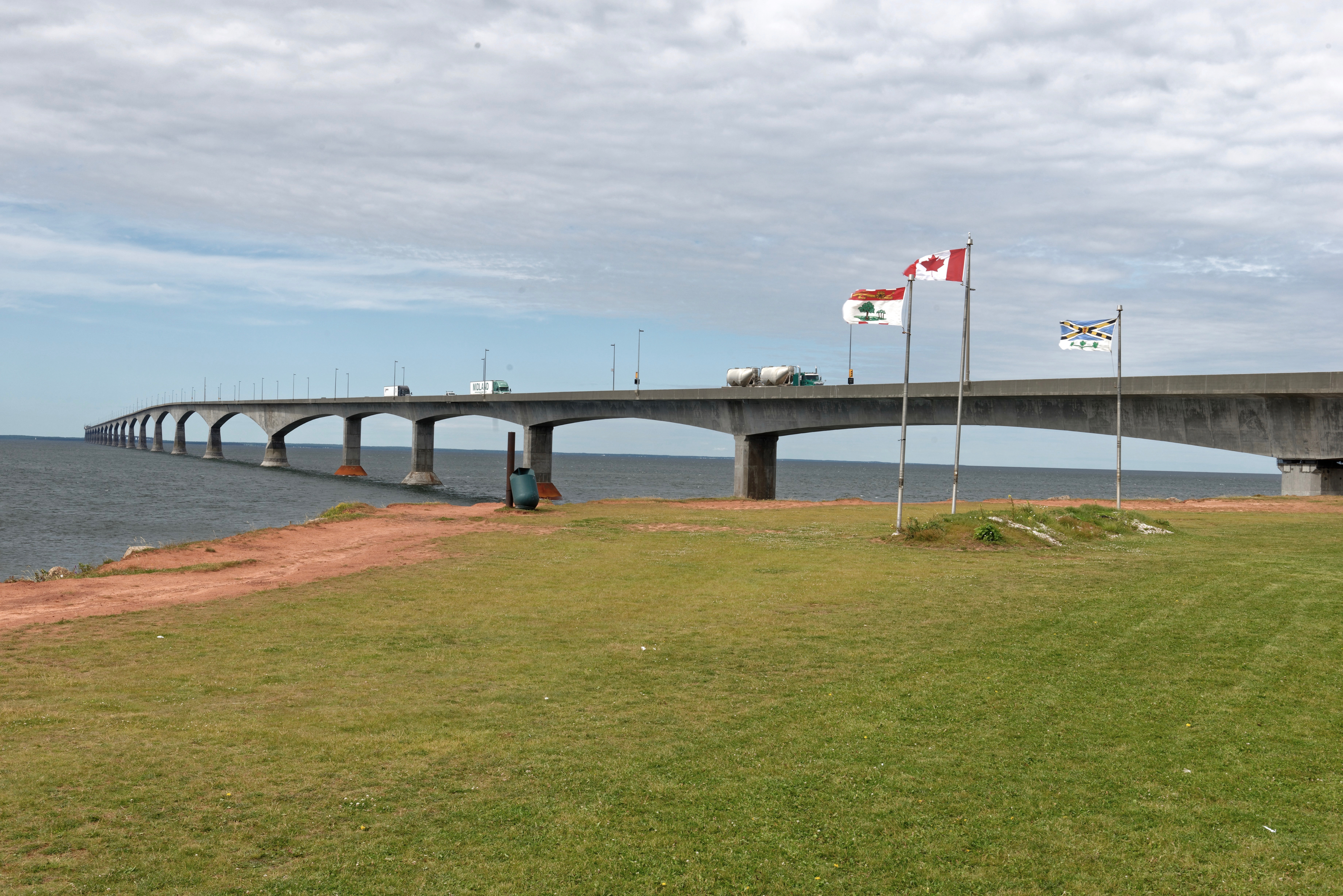
Time to head north again, back into New Brunswick, heading towards the Province of Quebec. We stopped at the Confederation Bridge Park to view the bridge and try not to be blown away (by the wind or the view) as we took a photo or two. (https://en.wikipedia.org/wiki/Confederation_Bridge) The bridge itself is simply amazing, in length, height, history, etc.

Denise by a sample bridge section.

Heading Back In Time

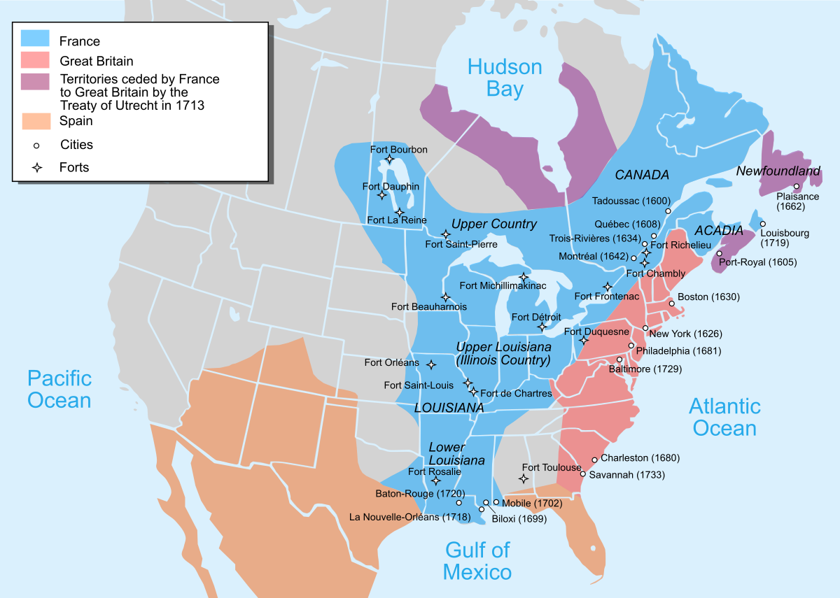
Our next stop was Louisbourg, about 35 km south of Sydney, where we planned to visit the Fortress, a National Historical Site,.  The site was founded by the French in 1713 and was twice besieged twice by the British (at least by “American” colonists, before being finally demolished in 1760.  It was reconstructed in the 1960s and encompasses one fourth of the original French town and fortifications.  What we in the United States call the “French and Indian War” was actually a part of the Seven Years War, the first real world war. In Canada, it included the expulsion of the Acadians, an event which resonates to this day. (https://en.wikipedia.org/wiki/Seven_Years’_War) Most Americans are unaware of the extent of French territories in the New World. This map may help:

You can see why Americans were so worried about the threats from the Spanish during the early years of the Republic and why Jefferson, despite massive opposition, was so eager to acquire Louisiana. Sad that so little of this is taught in US history courses.

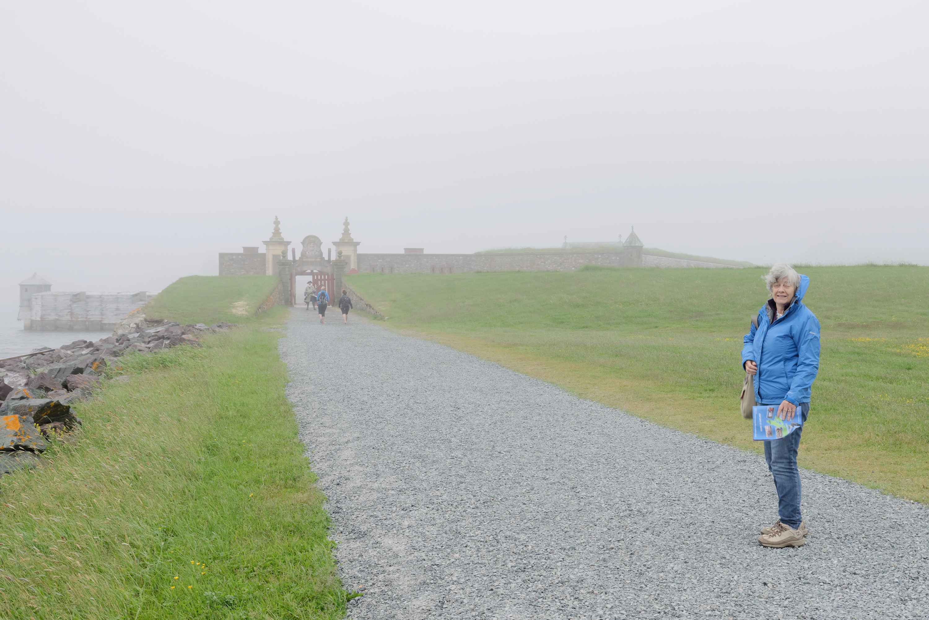
We arrived in Louisbourg on a sunny afternoon, but too late to do justice to the Fortress, so we agreed we would head out in the morning.  We expected to spend a couple of hours there and then move on towards the mainland of Nova Scotia.  Next day dawned cold and misty, but we layered up and headed out.  Apparently such weather is quite common and the sea mists blow in on a regular basis.  It was chilly to put it mildly but we found our visit fascinating. 

We stopped at a fisherman’s hut, outside the city walls, where we learned all about the importance of cod fishing, because cod could be salted and then dried at which point it could be kept for years and was valuable back in Europe.  In 1731, cod exports were worth more than 3.1 million French livres (pounds). The industry was so profitable, that some fishermen came over only for the season and wintered in France. 


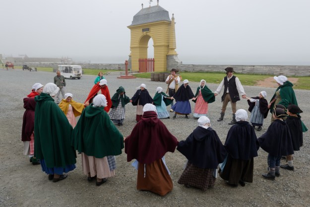
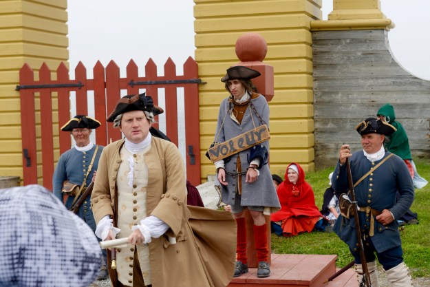
We then entered the Fort through the Dauphin Gate where we were greeted by a soldier in costume warning of the rules and regulations! (We were identified as English spies.)

We first visited the fortifications before heading into the town proper. 

There are a number of houses open for viewing, furnished according to the class of the people who inhabited them, from farmers to successful business people, to the Governor’s quarters.  

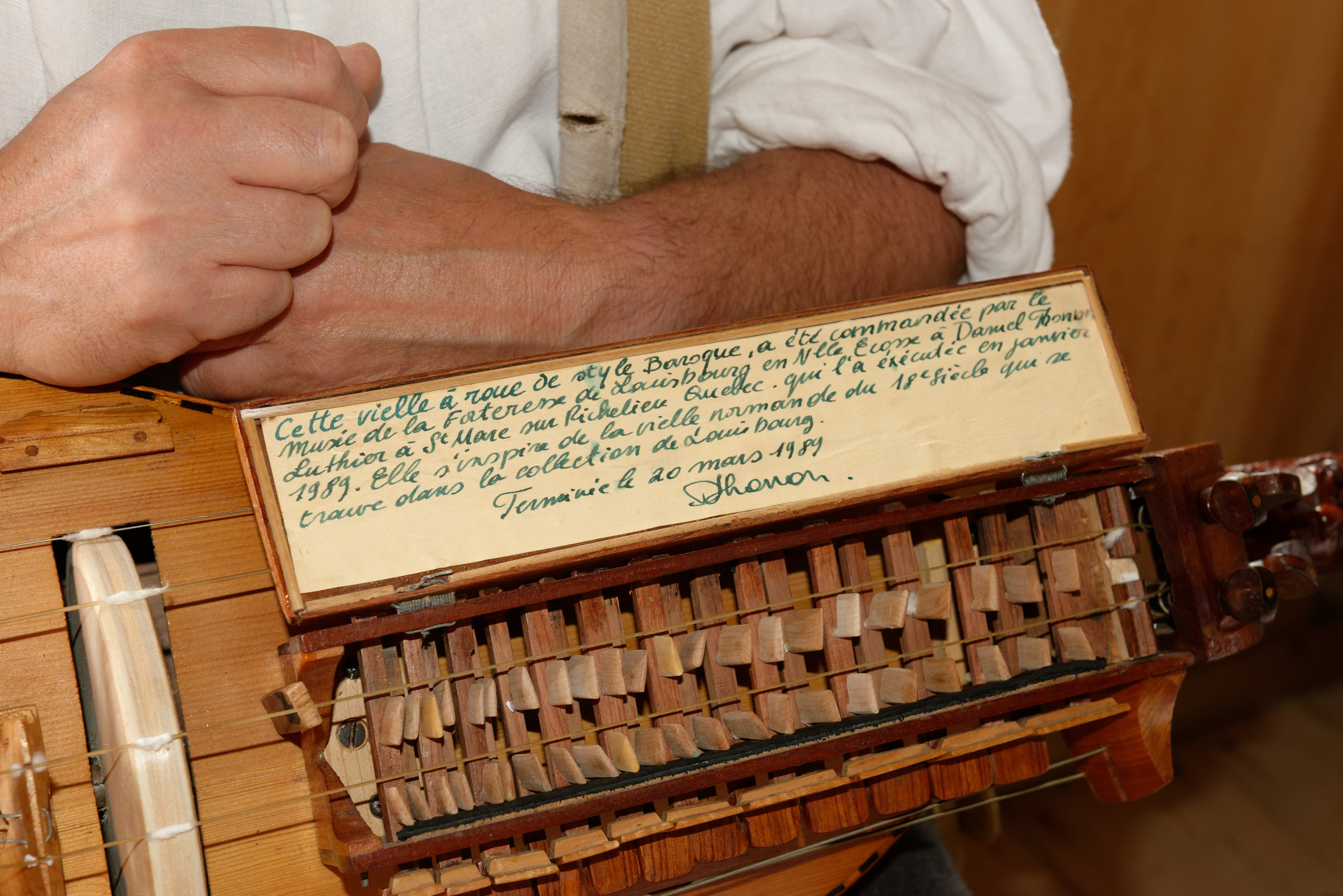
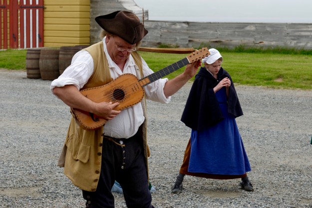
We stopped at one house where we met a musician who performed on a variety of instruments.  We discussed life in general during the era and then the instruments of the era.  He used a traditional ten string guitar, a recorder and also a hurdy-gurdy.  He brought it out to show us, and gave us a short concert.  (Sur le pont d’Avignon, l’on y danse, l’on y danse, etc.) Fred has always been fascinated by the Hurdy Gurdy (Vielle a roue) and loved having the chance to examine one in detail.

Tune this nightmare!

Basically, it is a form of violin, bowed by a rosined wheel with the various melody strings stopped by wooden frets attached to keys. Tuning is an absolute nightmare as EVERYTHING, from the strings to the frets, is adjustable and everything responds to changes in humidity.

His instrument was a reproduction of an original which reposes on a bed, on display in the fort. His day job is repairing pipe organs and other musical instruments and he is hoping that one day they will let him restore the original Hurdy Gurdy. He told us he would be performing with a group of children, so we made sure to attend!

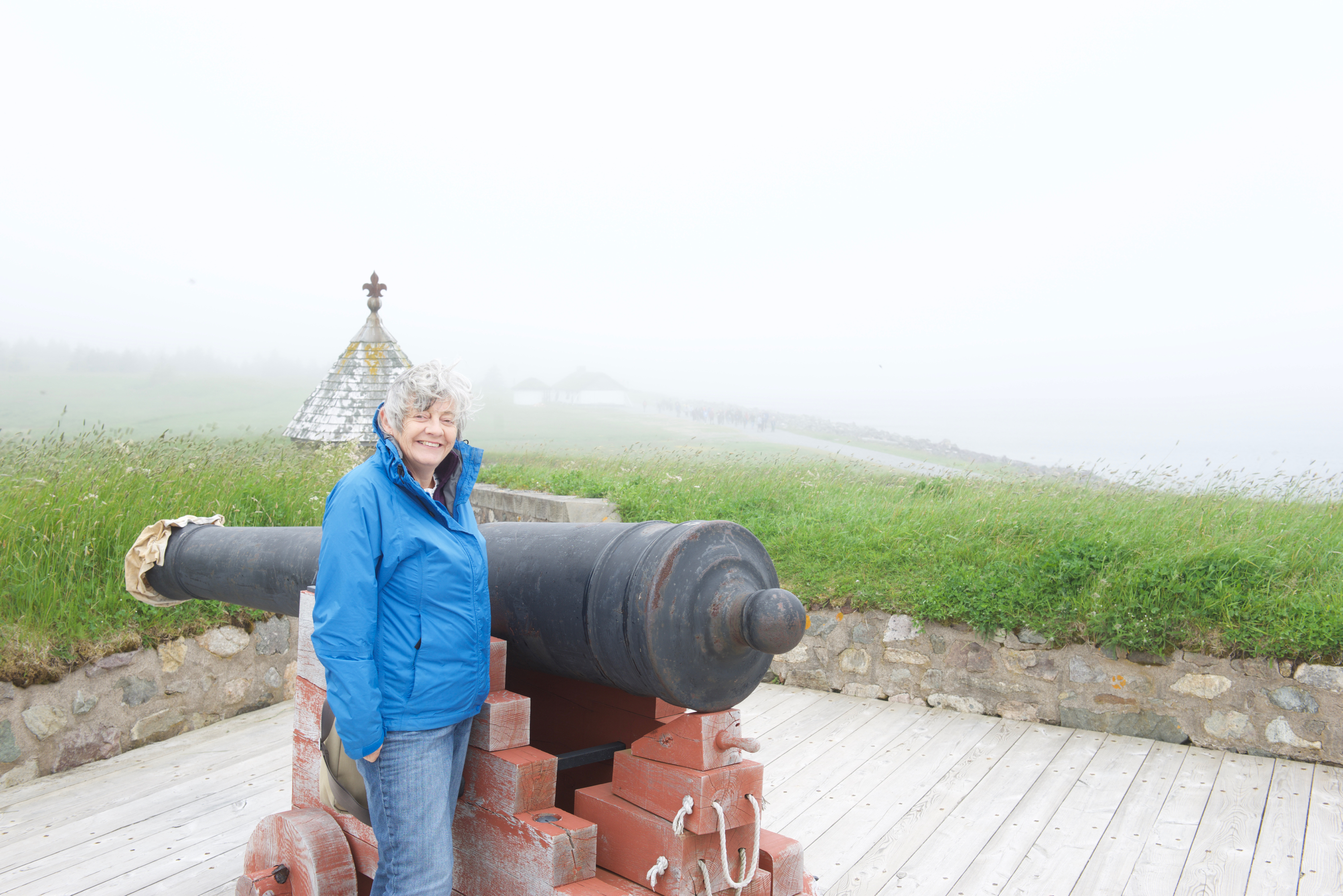
We went on to watch the fife and drum marching, and the musket and cannon firing, at the King’s Bastion, before visiting the displays and rooms belonging to the Governor. 

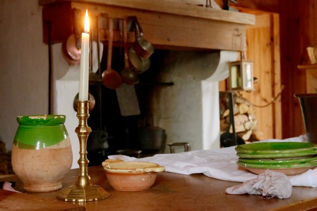
Then, cold and hungry we decided it was lunch time.  We headed for the Inn where “lower class food” was being served.  Fred ordered a meal, which turned out to be a bowl of soup and turkey pie with vegetables.  Denise ordered a bowl of soup, which came with bread baked in the Fortress bakery.  We both ordered hot rum to warm us up!   We were given pewter spoons with which to eat and large bibs to tie around our necks. Yes, the napkins were large enough for us to “make ends meet.” (You can see that we spend entirely too much time in historical recreation sites, we are even learning the language(s).) The food was good so we decided to try desserts, a cookie and a piece of rum cake.  The rum cake was the best, it was excellent.  Or maybe it was the hot rum we had imbibed!

After visiting some more houses, and watching our friend perform with the children, we headed back to the car park. 

_ND88229

_ND88223

_ND88234

A thief gets his reward and the magistrate warns the wise guys in the crowd that there is room for two in the irons!

We decided it was too late to try and leave so we returned to the  Louisbourg campground for another night.  We set out the next morning back to the mainland after a wonderful ten days in Cape Breton.

Songs in the Highlands (The Ceilidh Trail, Part Deux)

We then headed north to the Cape Breton Highlands National Park (https://www.pc.gc.ca/en/pn-np/ns/cbreton), where we had a reservation in one of their campgrounds, Broad Cove.  Having been told that all of the campsites would be full for Canada Day, we had decided that this would be the perfect place to celebrate.   Our site turned out to be huge with lots of trees.  No services but that is not a problem for us and the Blue Cat liked the site a lot. (It’s all about the cat.)

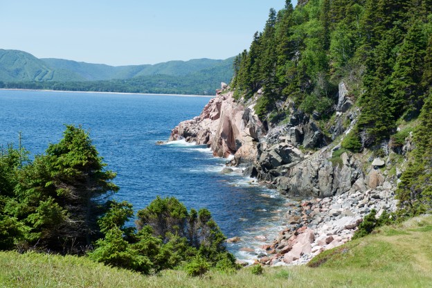
The weather on the day after our arrival was stupendous.  Sunny but cool and absolutely glorious for hiking.  We took the Middle Head hike of about two hours on a headland surrounded on three sides by rocky cliffs and ocean. 


It was quite beautiful with views of the ocean and the lobster boats out fishing.  At the very end of the headland, was a rocky cliff covered in seabirds. 

Quite spectacular.  We stopped on our way out to make some enquiries about a KitchenFest ceilidh  at the Keltic Lodge which we planned to attend that evening, and then had lunch on the cliff near the Keltic Lodge, overlooking Ingonish Cove. 

The ceilidh was excellent and featured four musicians playing a variety of fiddle, guitar, piano and pipes.

We walked on two more trails while at Broad Cove; around Warren Lake and on the Clyburn Trail. 

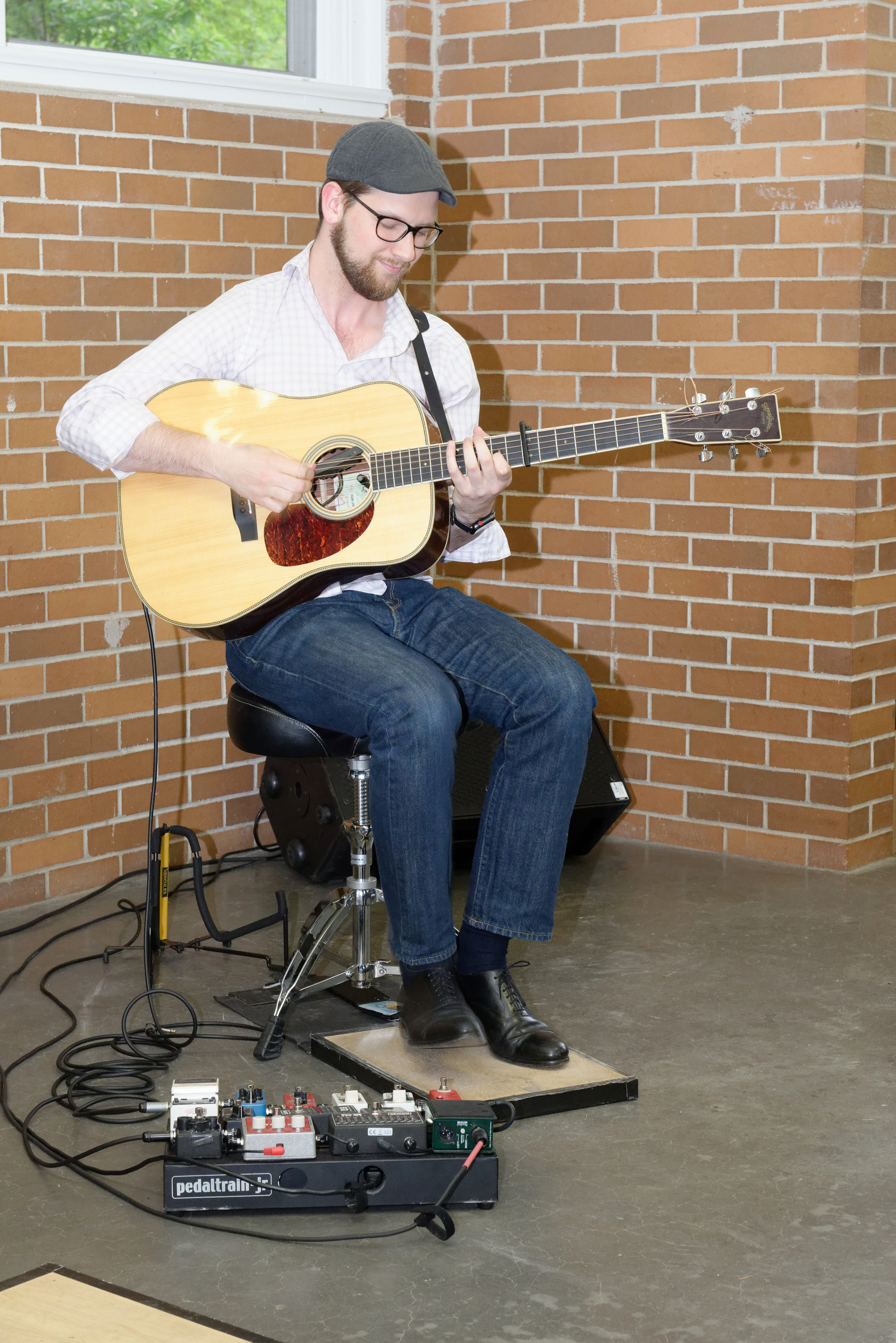
Both were enjoyable but the weather was foggier and gloomier and it did not inspire us to barbecue and eat outside.  We did attend a free KitchenFest ceilidh at our Campground on the night before we left.  It was quite wonderful with  Anita MacDonald and Ben Miller and a guitarist, Zakk Cormier. (https://benandanita.com)

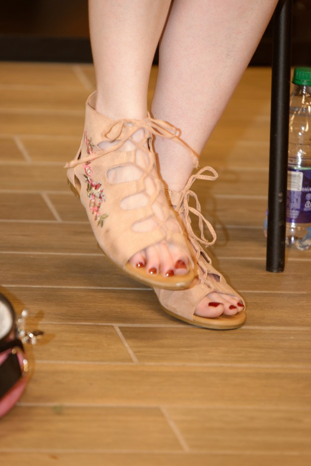
Note the tap shoes and floor board. (And a pedal board that would make a rocker proud.)

Because of the weather we were in a small activity center instead of a large open air theater and the atmosphere was electric.  Great fun.  A true informal ceilidh or gathering. Fred enjoyed the explanations of the lowland pipes and discussion of chord playing in DADGAD tuning.

We were in two minds whether it was worth heading up to the very tip of the island but the next day dawned sunny so we decided to go, which proved to be an excellent decision.  We found the Meat Cove Campground (and Chowder Hut) perched on the mountain slopes at the very tip of the island.  It was literally the end of the road!  (http://meatcovecampground.ca)

The sites were not flat but we did not care. We could sit by our camper and stare at the ocean or watch the campers coming around each headland and descending each grade until they popped up in the campground.

We went down to the beach by the campground so Denise could dip her toes in the freezing water.  Just to say she had!  To be fair it was cold but only cold!  The views were spectacular with ocean on all sides, it seemed, lots of lobster pots and fishing boats doing the rounds to check them.  We decided to have dinner on the deck at the Chowder Hut, a very pleasant restaurant at the campground.  Denise enjoyed another lobster and Fred had a mixed seafood platter he liked also! Terrible name for a very nice facility. We were joined by a young lady from Seattle, traveling in a Westfalia camper with her dog. She was taking time off from software engineering. By the time dinner finished the campground was full to the limit with a big Class C camped in the restaurant parking lot. (Good deal, probably the largest, flattest site there.)

The next morning it was time to finish the Cabot Trail and head south.  We stopped at Pleasant Bay to visit the Whale Interpretative Center which was simple but most interesting. (https://www.novascotia.com/see-do/attractions/whale-interpretive-centre/1576) The harbor, industrial but pretty.  A lot of the fishing harbors are not picturesque at all, but simply places of work.  They can also be so touristy that they do not attract either. 

We continued south around the curves and the ups and downs of the Trail towards Cheticamp.  The grades are noticeable, in the 14% to 16% range for the most part, which Fred and the 917 found exciting at times. Let us say that Fred and the exhaust brake are good friends! Safely in Cheticamp, we headed for the Cape Breton Highlands National Park campground and checked in.  

It turned out that there was another ceilidh at the Campground Visitor Center that night, so we walked over to enjoy that!  The featured performer was a young lady on fiddle, accompanied by a pianist. Once again there was a subtle style shift, but not to the Francophone as we expected at an Acadian village. 

Flying feet!

Most Celtic musicians perform seated and, in lieu of a drum set, there is a lot of foot tapping, nay, stomping. This can get quite extreme, with musicians using resonant wooden foot panels, like those used by tap dancers, and, in some cases, wearing tap shoes. The guitarist at the Broad Cove campground did this, as did the fiddle player at Cheticamp. Indeed, she told us that she actually started as a step dancer and so it was completely natural. The sound, and sight, are quite remarkable and we found ourselves imagining a friend who plays for the McLean Symphony tearing up some Beethoven in tap shoes. The mind boggles!

_ND88150


Seriously, the beat is quite infectious. Much Celtic music uses exotic time signatures, but underlying it all is a steady 4/4 beat which makes it great for dancing. One musician told the legend that the seated foot tapping arose so that people could “dance” on Catholic holy days and a priest, looking in the window, would simply see people seated at the table. Don’t know if that is true, but a drummer might go hungry in this part of the world!  Especially when people add jingle bells to their trousers. (Same idea as in Bolivia.) We feel fortunate to have visited during the Celtic music festival called KitchenFest that has made so many ceilidhs available at different places.


Ceilidh is pronounced “KAY-lee.” (Part One)

On to Cape Breton Island and yet another Visitor Center for information – we are beginning to feel like real tourists!  The Visitor Centers are wonderful, full of charming and helpful people and lots of information.  We acquired a map of the Cape Breton Highlands National Park with nice hikes pre-marked for us, a calendar of the KitchenFest music festival and leaflets of other interesting places.  (https://kitchenfest.ca) They even helped with the next campsite reservation, so we headed off on the Ceilidh Trail hoping to hear some Celtic music.  Ceilidhs (pronounced “KAY-lee”) are music based gatherings and the music is traditional Celtic music of Scotland.  Most of the inhabitants of Cape Breton Island are of Scottish origin and to our surprise, Gaelic is frequently spoken and heard, in coffee shops and in supermarkets. Even some of the road signs are in Gaelic.

Music plays an important role in Cape Breton life and it has been an enjoyable experience for us to discover it in this form and meet some of the musicians. The Gaelic College in St. Ann’s is spearheading this and has organized the two week long KitchenFest music festival for the last five years. They organize other Gaelic focussed activities also.  By chance, we had arrived in Cape Breton during the KitchenFest festival so we have had lots of opportunity to listen to music.

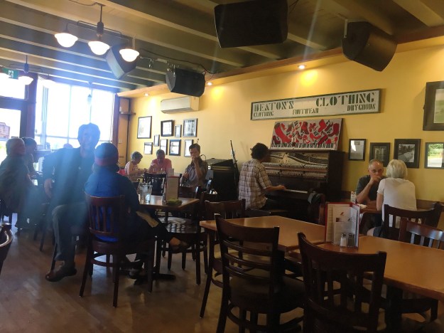
We headed first for Mabou, which sounds like something from Star Wars, but is a thriving village on the west coast of Cape Breton in the heart of the Ceilidh Trail.  Our first night we went to the Red Shoe, a well known pub with live music. (https://www.redshoepub.com) The food was much more imaginative than you might expect and we enjoyed a wonderful dinner while we listened to our first local performers, Joe MacMaster and friends. This turned out to be Joe, on fiddle, and a pianist, name unknown. 

IMG_0821

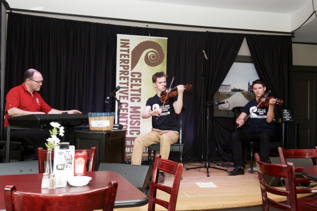
Inspired by this and fascinated by the use of a piano to accompany jigs and such, we headed the next day to the Celtic Music Interpretive Centre in Judique, a town just south of Mabou.  (http://www.celticmusiccentre.com We first visited their interpretive room where we learned about the history of the Scots and Celtic music in Cape Breton, tried out a few dance steps and had violin lesson.  Never having touched a violin before, Denise found this fascinating.  We should add that Fred was (slightly) better than Denise was, due to his guitar experience!

We then headed into the restaurant for a light lunch and a Celtic music performance.  Lunch was excellent (lobster roll again for Denise!) and the performing musicians were Joe MacMaster, this time with Olivier Broussard on fiddle  and Allan Dewar on piano.  The music was even better than the food.  Joe played fiddle, bagpipes and finally piano and gave explanations as he went.  (Impressive for those of us who struggle with one instrument and even more impressive when you consider the vast differences in technique between these three instuments.) Fred asked Olivier about the differences between Francophone and Anglophone music and was fascinated to be told that there was no difference as there was only Gaelic music. (Easy to forget that the Bretons of France are Celts.) We stayed for the full event from about 11.45 to 3.00 PM. Then Denise sat down to discuss piano theory with Joe. Most of us think of the piano as a melody instrument, but here it was basically a replacement for a rhythm guitar (chords in the right hand) and a bass guitar (roots and arpeggios in the left). All of the pianists we heard were real theory monsters, responding on the fly to keys being called out at the beginning of each set.

Some Cape Breton music trivia:

— The dominant instrument is the violin, or fiddle. Why do Scots play the fiddle? Seems that after the Battle of Culloden Moor in 1745 (https://en.wikipedia.org/wiki/Battle_of_Culloden), the English banned the bagpipes as a way of weakening Scottish identity and introduced the violin as a way of “civilizing” the Scots. So the Scots happily started playing traditional pipe tunes on the fiddle, a practice that continues to this day.

— We heard it argued that Cape Breton music is more traditional than contemporary Scottish music as the island, and its musicians, were always more isolated. A similar comment has been made of US vs. UK English pronunciation – that is that the US pronunciation is older.

— We listened to a piper from Mabou who has been playing in Scotland for the last twenty years. Why? Bigger market. He introduced us to the Lowland or Border pipes, a simpler version of uilleann or “elbow” pipes. (https://en.wikipedia.org/wiki/Border_pipes) The uilleann pipes are more commonly associated with Ireland. (https://en.wikipedia.org/wiki/Uilleann_pipes) And for the really hard core, Google will be happy to introduce you to a least a dozen other bagpipes. Who knew?

As it was pouring with rain the next day, we decided that an indoor event would be fun and stopped to visit the Alexander Graham Bell Historic Site at Baddeck.  (https://www.pc.gc.ca/en/lhn-nhs/ns/grahambell) A most interesting visit. Bell started his career studying speech and working with the deaf. His father had developed the system of “visible speech” (https://en.wikipedia.org/wiki/Visible_Speech) and Alexander Graham Bell continued these efforts. It was his understanding of sound, coupled with a knowledge of electricity that led him to invent the telephone, even if it took him 20 years to prove it. He also developed a light based telephone, but this was less practical, until you get to the present day and consider fiber optic cable communication.

Bell was an early pioneer in aviation, using the money he made from the telephone. He, along with Glenn Curtiss, was a founder of the AEA, the Aerial Experiment Association (https://www.thecanadianencyclopedia.ca/en/article/alexander-graham-bell-aviation-pioneer/) He was instrumental in helping to develop the first manned airplane in Canada, the Silver Dart which flew in 1909.  The replica on display was built using the original specifications and materials (where practical) and flown again in 2009 in honor of  the centennial of the first flight.  He also worked on a series of hydrofoil designs. A most fascinating man.

We also enjoyed a cup of excellent latte in a nice coffee shop in Baddeck (Bean There Cafe http://visitbaddeck.com/bean-there-cafe/) and were fascinated to hear Gaelic being spoken around us.  We had no idea that Gaelic was so prevalent.

From Baddeck, we continued to the Broad Cove campground were we planned to hunker down for the the Canada Day weekend.
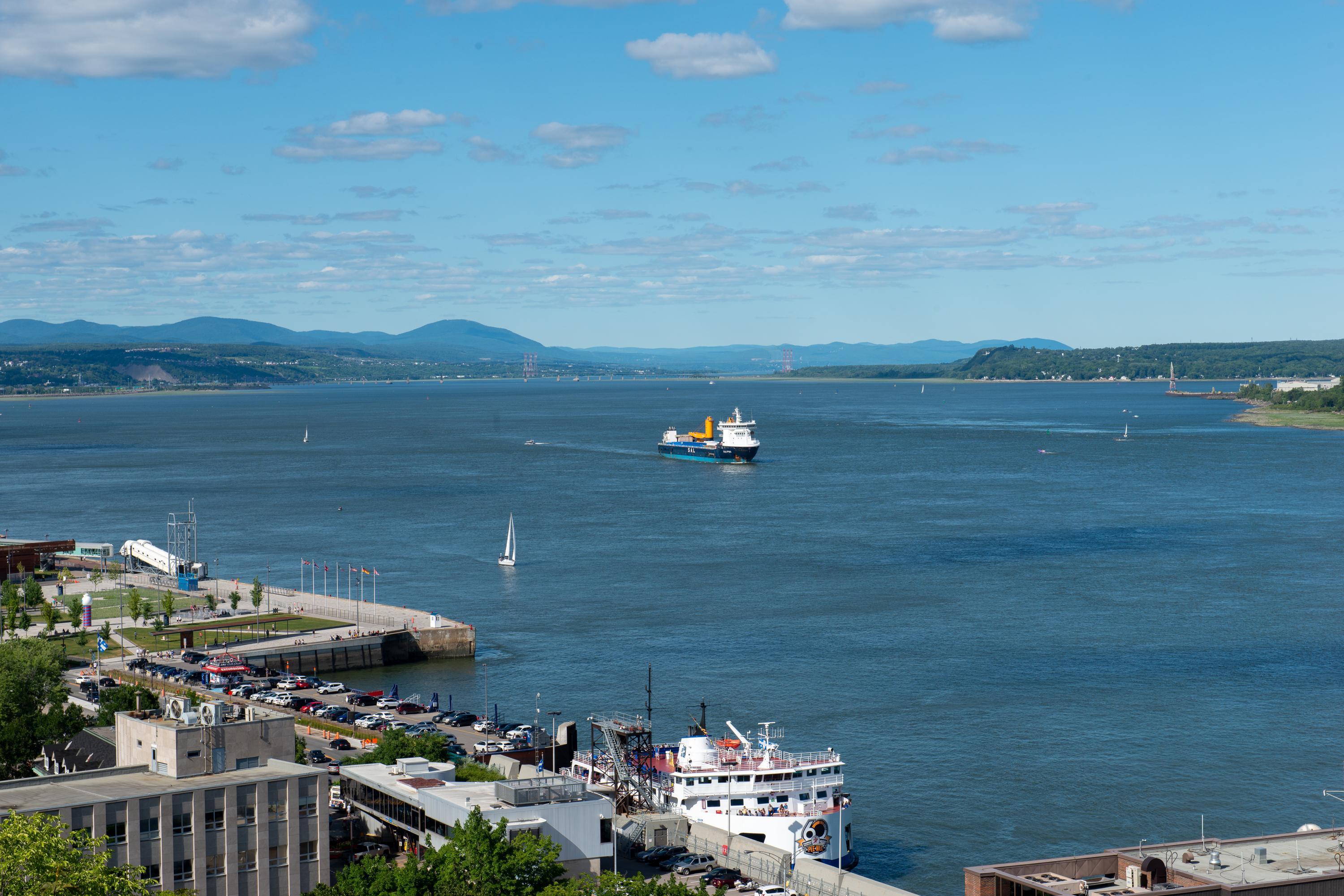
Canada Here We Come

So, we set off for Canada and stopped for a homemade, pot luck brunch to eat up as much open food as possible in case Canadian Customs wanted items destroyed.  Well, the border was absolutely deserted and we passed through with no questions of food items in the camper or pets on board.  Like true tourists, our first stop was the information office just over the border.  They were exceedingly helpful and told us where the supermarket was and suggested we visit St. Andrews by the Sea, a nearby resort town. We followed their advice and spent two nights there, camping right on the ocean.  (http://www.kiwanisoceanfrontcamping.com)

_ND88005

They had live music there the first night and we listened until we got too depressed by the country music they were playing.  None of the songs ever end happily!  So we went back to the 917 and fixed dinner. That did end happily.

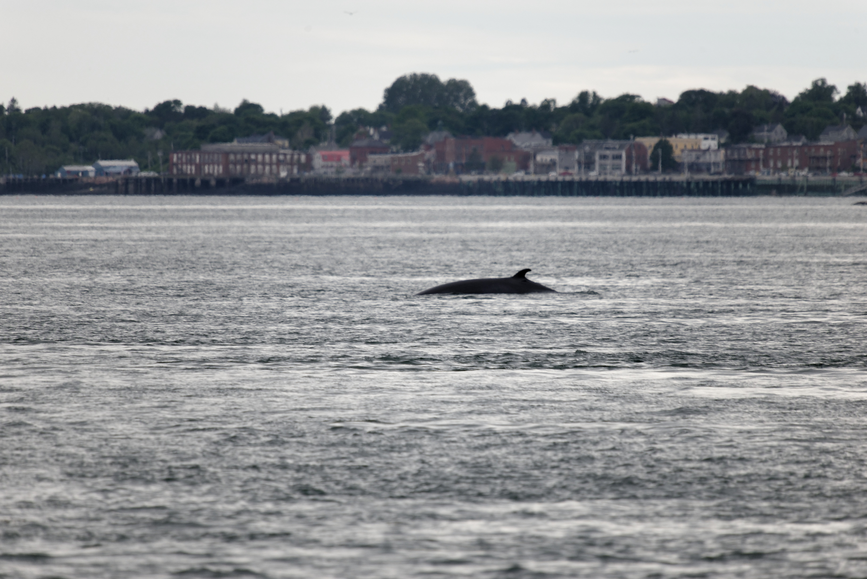
The next day we walked the small town and booked a whale watching cruise on a tall ship.  (http://jollybreeze.com).  The sun went in before we boarded and it was a chilly afternoon on board but a cup of hot chocolate followed later by homemade pea soup, warmed us up. we saw a couple of Minke whales, plus a selection of basking seals and several porpoises. Minkes are not exceptionally large whales, but they do meet the test of having-seen-a-whale. It was a well run and fun cruise. Fred spent much of the voyage chatting with the owner’s father, who was crewing. The Jolly Breeze was built in New Zealand from the plans of an English pilot boat.


Minke Whale

Denise has noted and enjoyed a mass of lupins wherever we are both in New England and Maine and now in New Brunswick.  It brings back memories of reading the children’s tale “Miss Rumphius” to our daughter when she was small.  She even bought a Miss Rumphius t-shirt with a scene from the book.  Lupins do not grow wild in Virginia!

_ND87976

Lupins were to become a constant theme during our time in Canada, flowering along almost every road.
We decided to visit the Museum of New Brunswick in St. John’s so we went to the campground in Rockwood Park. (http://rockwoodparkcampground.com) A lovely spot; a huge park only about thirty minutes walk from the old downtown. We headed into town on foot, enjoyed the museum and a cup of coffee in town before heading back. 
Most US history books imply that there was general rejoicing at the end of the American Revolution with all of the colonialists ecstatic at winning their freedom. In fact, the country was deeply split with at least 100,000 loyalists fleeing to Canada. St. John was founded as a loyalist refuge, growing from a tent camp to a city in only one year. There are some interesting aspects of the loyalists that are overlooked in most US history courses. They include:

— Black Nova Scotians. The ships carrying loyalist refugees to Canada had an odd admixture of black passengers – free blacks who had gained their freedom by enlisting in the Royal Army, and, on some of the same ships, enslaved blacks being taken by their loyalist owners to Canada. 

— Militias. It is an article of faith of (too many) Americans that we won our independence with home brew militias that somehow defeated the regulars of the Royal Army. The truth is very different – rebel militias were notoriously unreliable, prone to desert at harvest time and unable to withstand the fire of British regulars. Washington depended on the Continental regulars and thousands of French soldiers to win our independence. (A tip of the hat to Benjamin Franklin, John Adams, and our other first diplomats for negotiating with the French for ships and troops and with the Dutch for recognition and money.) In fact, there were more French troops at the battle of Yorktown that Cornwallis was not entirely out of order wanting to surrender to the French. What all of this have to do with loyalists? Only that there were loyalist militias as well as patriot militias and, with the end of the war, they wanted to escape the United States to avoid retribution.

One of the attractions of downtown St. John is the preserved loyalist house, survivor of innumerable fires and urban development.

We think our round trip was probably close to 4.5 miles with the last part decidedly uphill!  So we stopped by the lake in the park to listen to live music and enjoy a glass of wine before tackling the last hill to the camper.  An enjoyable interlude.

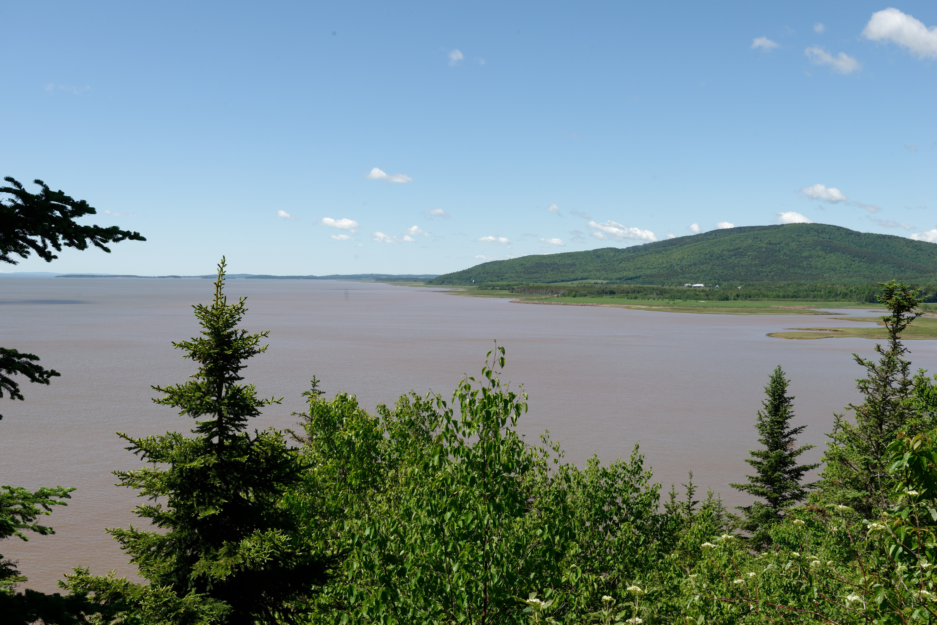
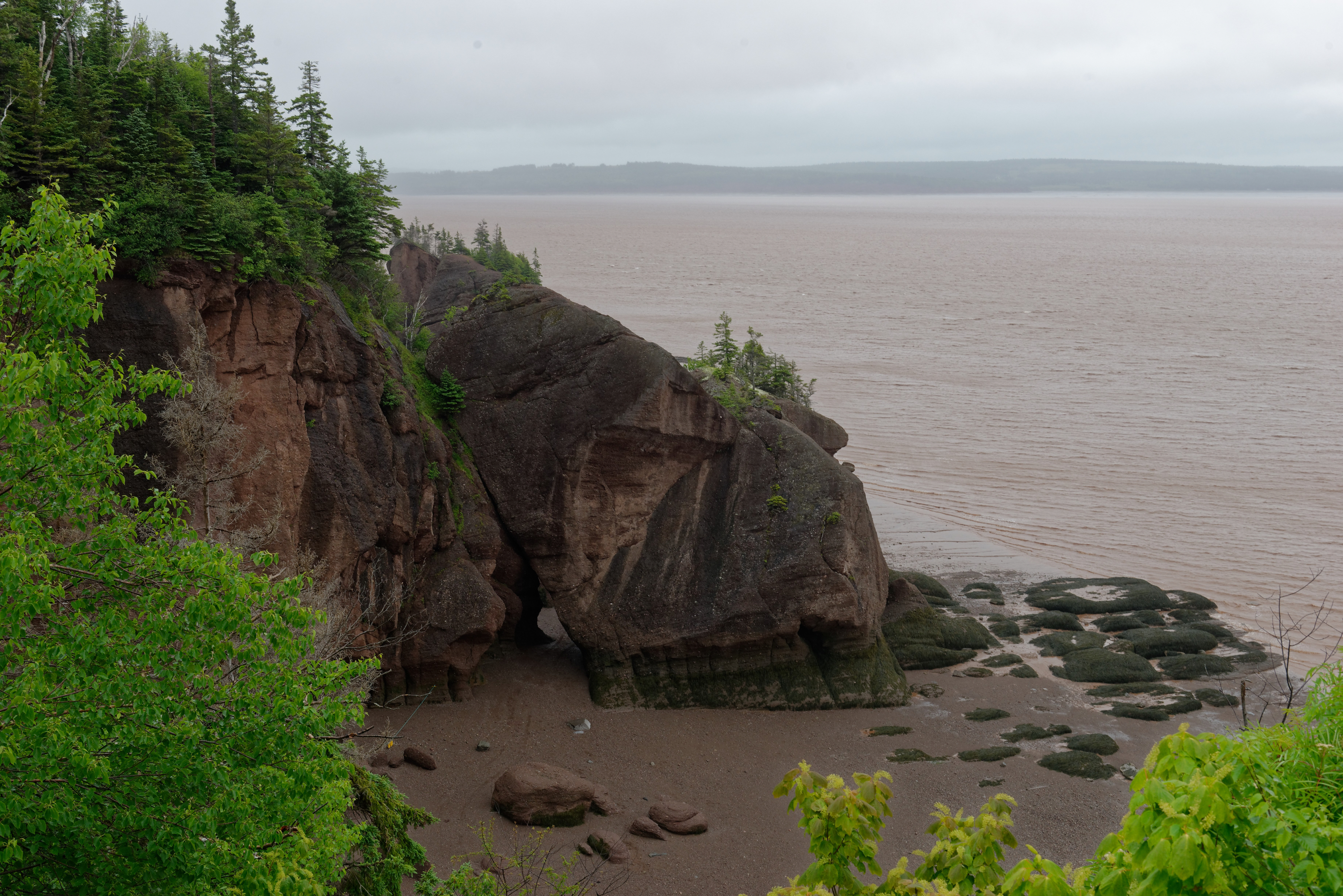
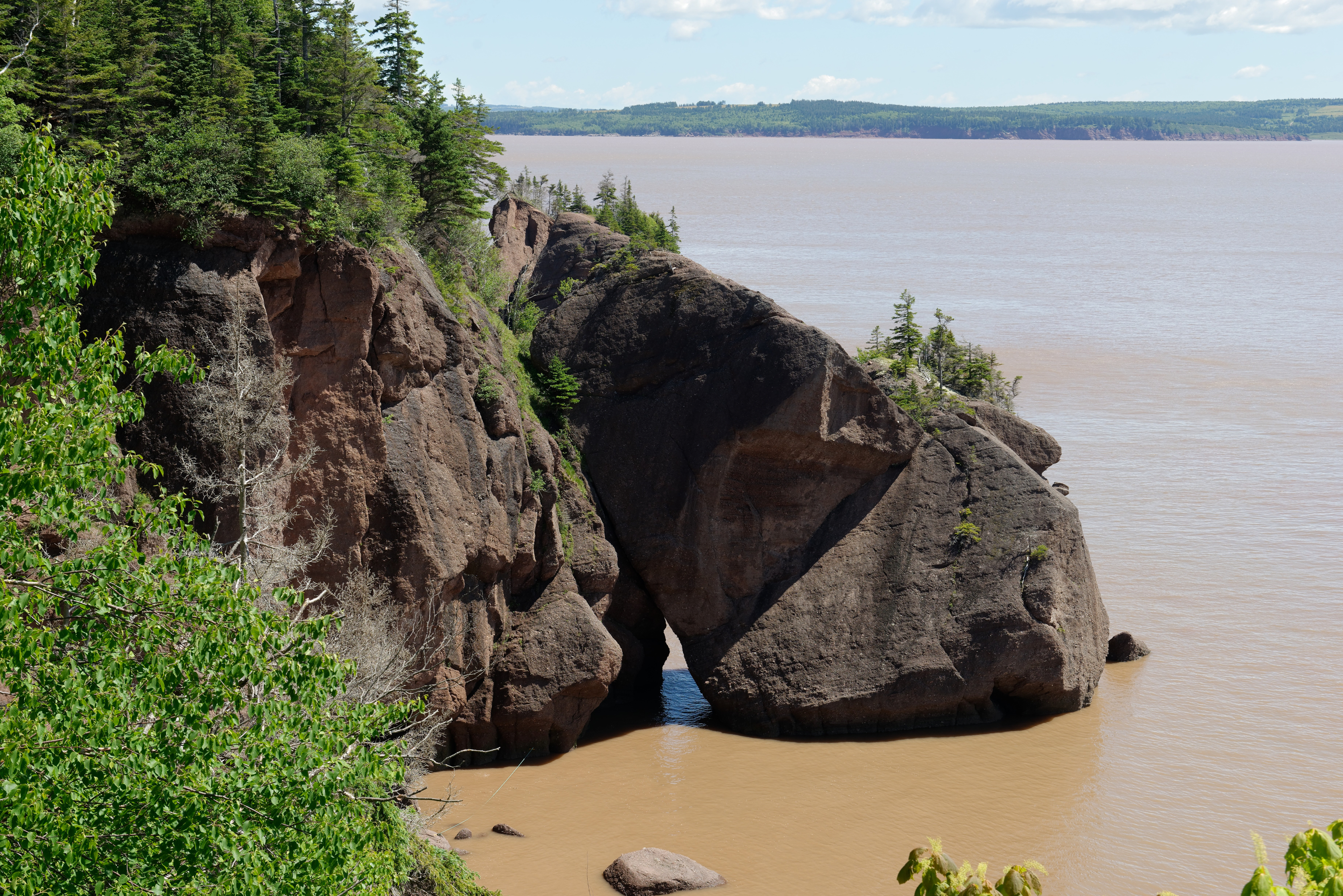
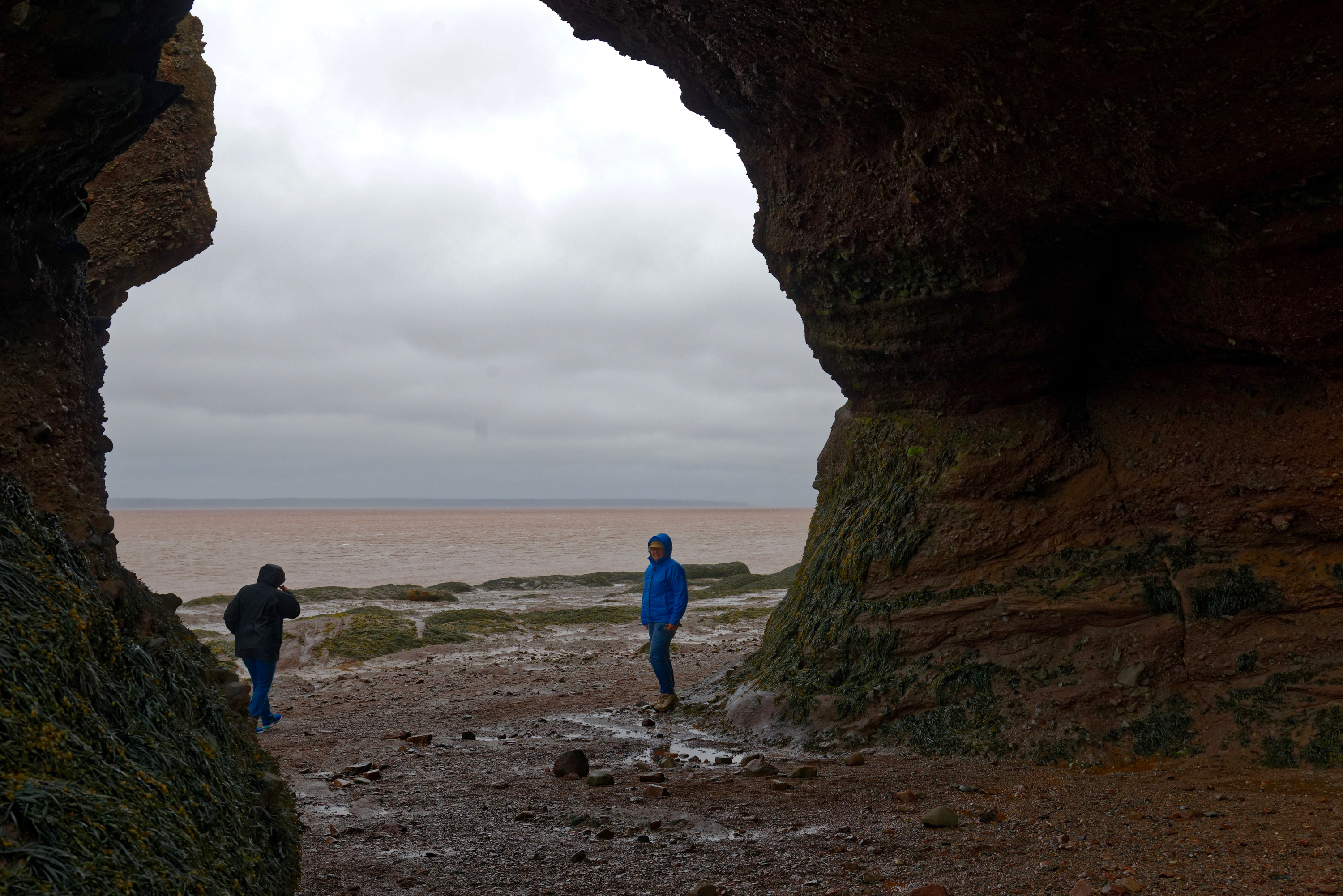
Leaving the next morning, we headed towards the Hopewell Rocks (https://en.wikipedia.org/wiki/Hopewell_Rocks) to discover all about huge tides (up to 46 feet) of the Bay of Fundy.  We checked into the Headquarters Campground of the Fundy National Forest (https://www.pc.gc.ca/en/pn-np/nb/fundy/activ/camping/avantpays-frontcountry/administration-headquarters) and watched the rain fall.  As the afternoon progressed, it began to clear a little so we added layers and raincoats and headed for the Rocks as it was almost low tide.  It was indeed amazing.  We visited all the viewpoints and descended to the beach where we ambled among the shaped rocks  on the sea floor.  Somewhat chilled, we headed back to our campsite for dinner.  We returned in the late morning of the following day and with much better weather, and duly admired the views with high tides, this time in shirt sleeves! The “rocks” themselves resemble nothing so much as the “temple” monoliths of the Capitol Reef in the western US being made of compressed earth with lots of rocks mixed in.

Low Tide

High Tide

Low Tide

High Tide

Denise down on the sea bed.

We stopped in Moncton to shop and continued just over the border into Nova Scotia. We spent the night at a lovely RV Resort called Loch Lomond https://www.lochlomondrvpark.com). We always like it when campgrounds don’t make us pay for the hookups we don’t use! The next morning we headed for Cape Breton. Picking a side road at random to stop for lunch, we ended up at the Barney’s River school museum. It doesn’t open until July, but we were able to have lunch safely off the road. (https://www.novascotia.com/see-do/attractions/barneys-river-station-school-museum/1455)