Category Archives: Expedition Vehicle Travel

An expedition vehicle is basically a four season capable RV that does not depend on hookups and has 4×4.

Silver by the Ton

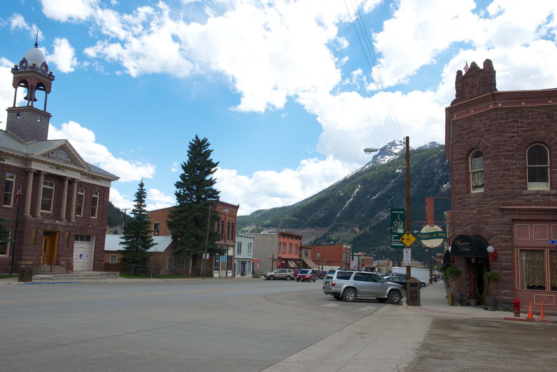
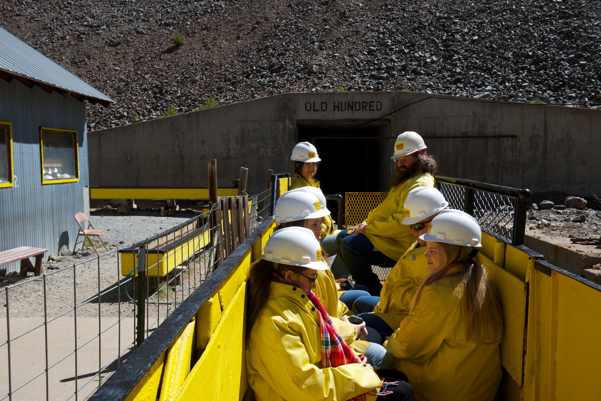
Having mined out (!) the attractions of Silverton proper, the mining ghost town of Animas Forks beckoned to Fred and the Old One Hundred Mine and Tour was on the way, so we set off from Silverton to check both out. We made it the five miles to the Old One Hundred Mine promptly and in time to join their first tour at 10.30 AM, where we had the good fortune to be two of only ten or so people. It was a great tour that even Denise found interesting. We went down into the mine on an electric train wearing full yellow raincoats and hard hats and felt the water dripping onto us as we rode. The hard rock mines are apparently always full of water and there were streams running alongside the trail we took. Mining in the Silverton area dates from the 1880’s and seven levels had been cut into the mountain producing gold and silver, plus various base metals, before the mine closed in the 1960’s. We visited the most recent level, Level 7, on the bottom. Most of the ore was extracted from the higher levels, some three thousand feet above us. The tour included information on how the metals were mined, including actual tests of some of the equipment, like the drills and a mucker, a kind of scoop. And it was loud! You can see how miners lost their hearing with multiple drills going, and all the other equipment working, plus blasting of the ore. I am glad that I am not a miner! We returned to the surface and found the next group assembling for their tour. Many more on this tour! We walked up a short distance to photograph the original bunkhouse, which sits just visible perched at 13,000 feet, or the original entry point for Level 1.

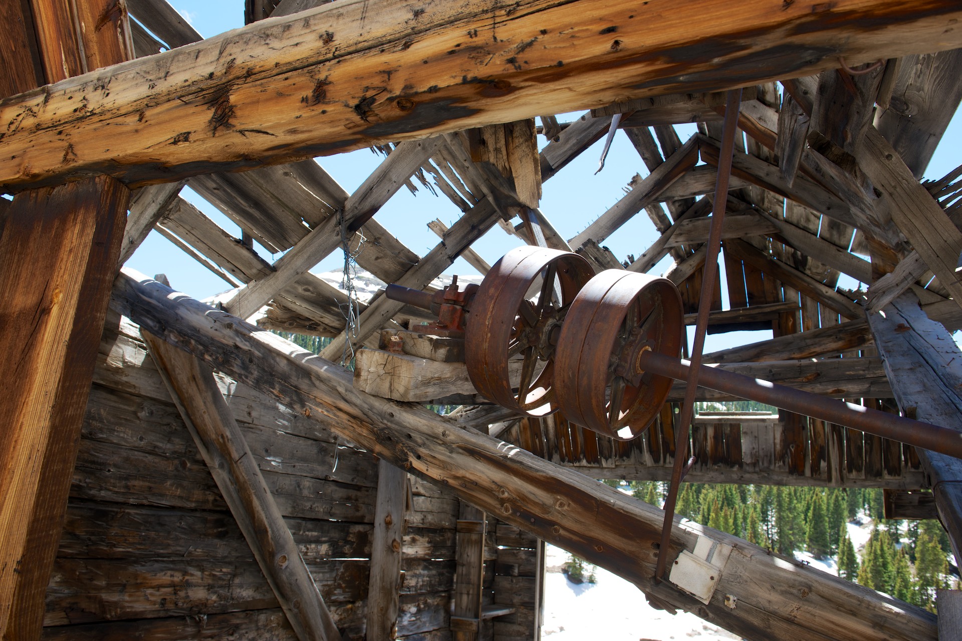
Animas Forks  007 Got to look closely here (zoom in) but you can see the remains of the cable system that carried ore from the mines to the crushing station.

Animas Forks  008 Back in the day, these cable systems ran all over all of the hills. When combined with the railroads, they provided a very efficient way to move ore, and people. The network of cable systems was vast.
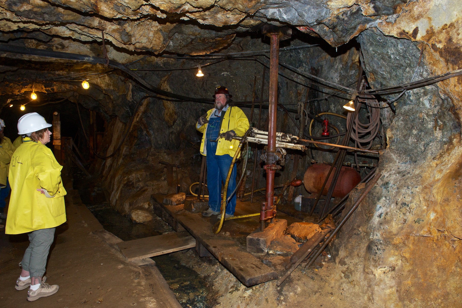
Animas Forks  009 Animas Forks  010 Animas Forks  011 Denise standing by a seam of ore.

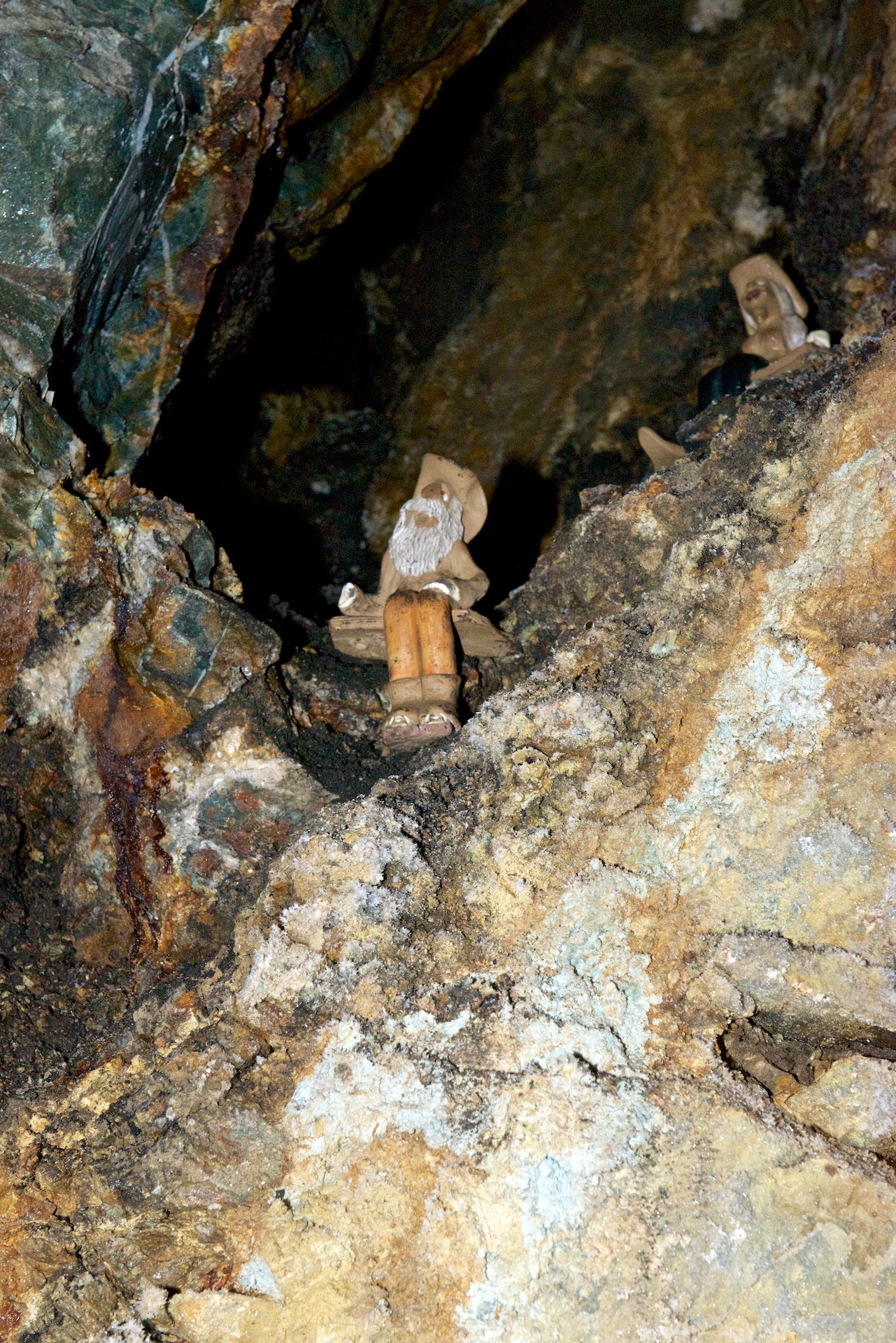
Animas Forks  012“Tommyknockers” hidden away in the mine. The legend of the Tommyknocker reminds of nothing so much as the legends of “El Tio” in Potosi.
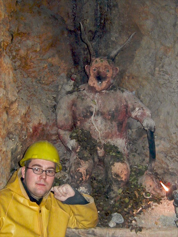
Animas Forks  020Mike with El Tio in Potosi, Bolivia. Note the offerings of coca leaves, alcohol, and a cigarette. Miners share some beliefs all over the world. (No coca leaves in Colorado.)
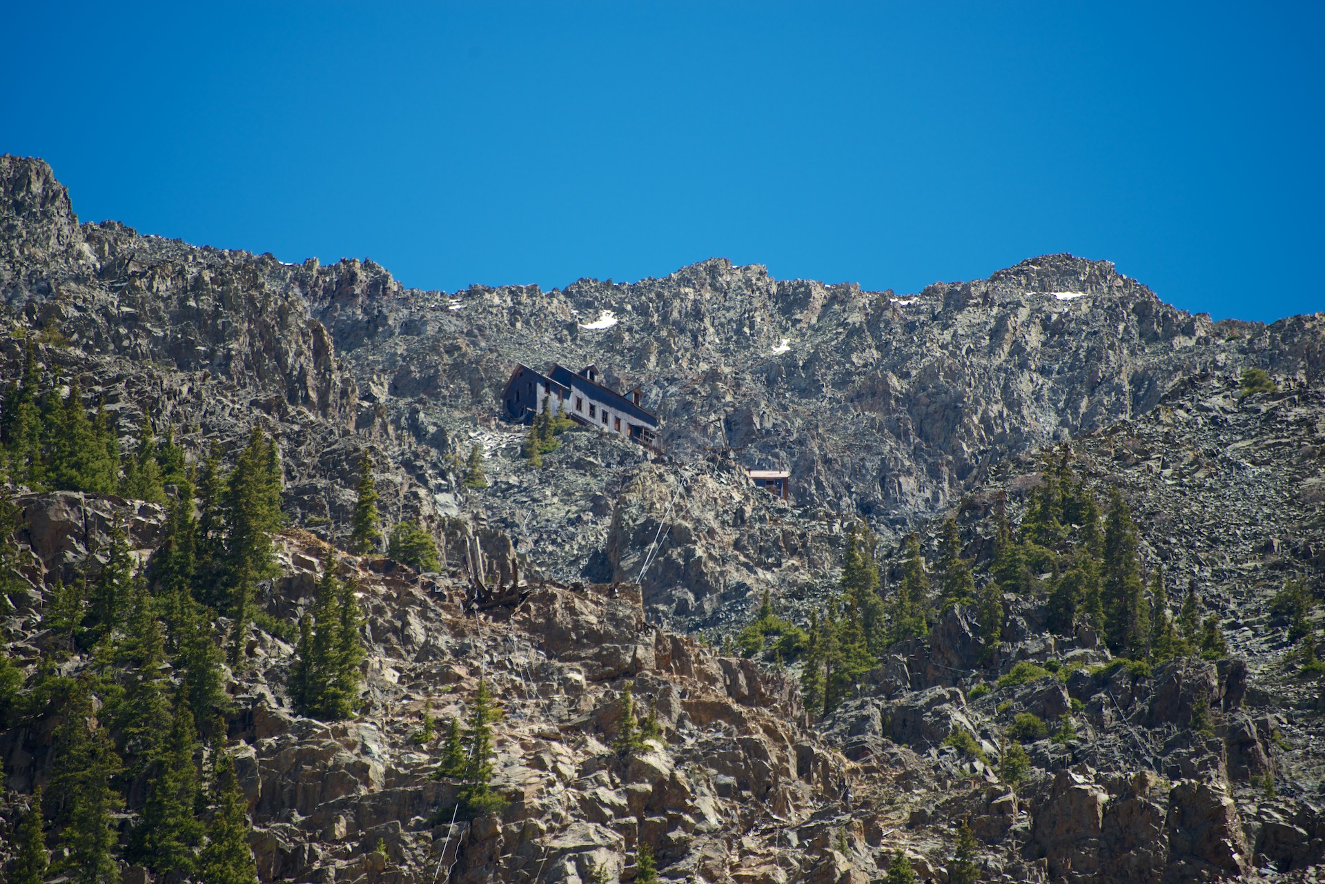
Animas Forks  013Long tele shot of the old bunk house. A wonder that anyone could actually sleep at that altitude.

We then headed for Animas Forks, about twelve miles from (and two thousand feet above) Silverton. The road was decent dirt as far as Eureka and then deteriorated and became much rockier and steeper. Fred had wanted to try the Cinnamon Pass to Lake City, which was rumored to be open but still difficult. After discussions with the Tourist Information Office in Silverton, he decided not to tackle it and indeed we gave a lift up to Animas Forks to a young hitchhiker who had been on our mine tour. Of course, we then met a ranger who commutes across it daily and he said that it was fine! But we were committed by then, so we enjoyed a fascinating visit to the old buildings and mine, walking through the snow runoff and even some snow. Imagine, snow on June 1. There is still considerable snow around in the upper altitudes and multiple roads are still closed because of snow. We were still very early in the tourist season. We returned to Silverton, dropped off our passenger and headed for Ouray and a campsite while the road was open.
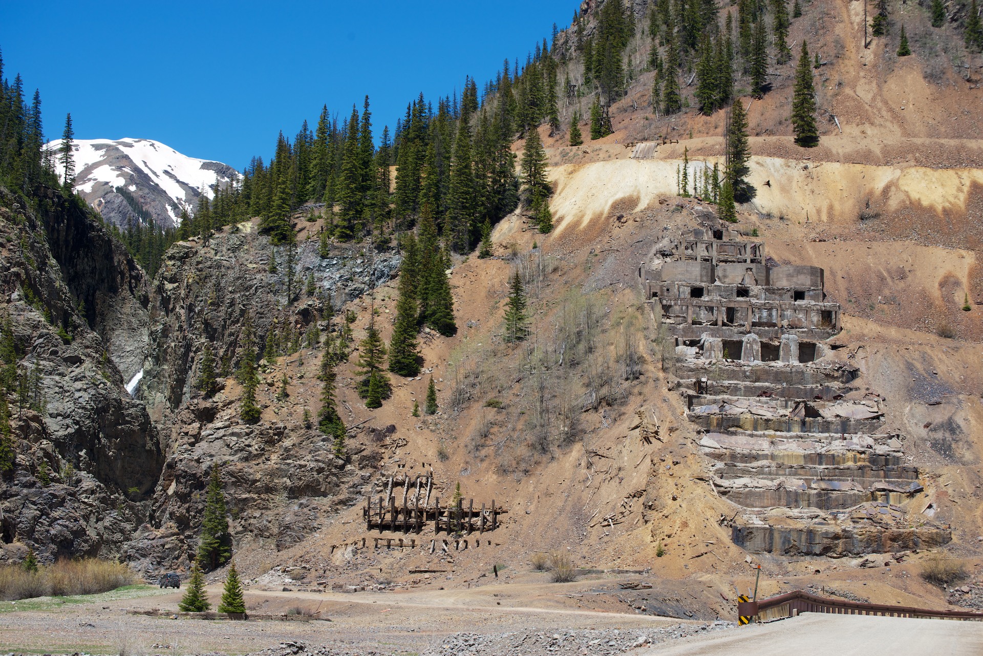
Animas Forks  014 Ruins of an old ore mill. The mills were generally built on slopes so that gravity would help carry the ore from one level to another. Similarly, mines were usually laid out with the main entrance on the lowest level.
Animas Forks  015 Animas Forks  016 Animas Forks  017 Animas Forks  018

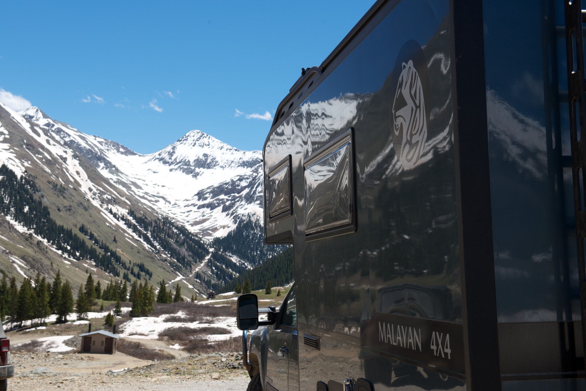
The main road from Silverton to Ouray had suffered a landslide and only one lane was open and only when the crews were not working. So Sunday was by far the best day to go to Ouray and minimize the delays. It was “ho hum another beautiful drive” down a winding road full of hairpin bends and lacking quite a few guardrails but we made it safely and camped in a lovely Forest Commission primitive campsite. In this case, that meant chemical toilets were available but no water. We need neither so for us the charm of the site was only emphasized by the view of the snowcapped peak.

Animas Forks  019

Still Kinda High!

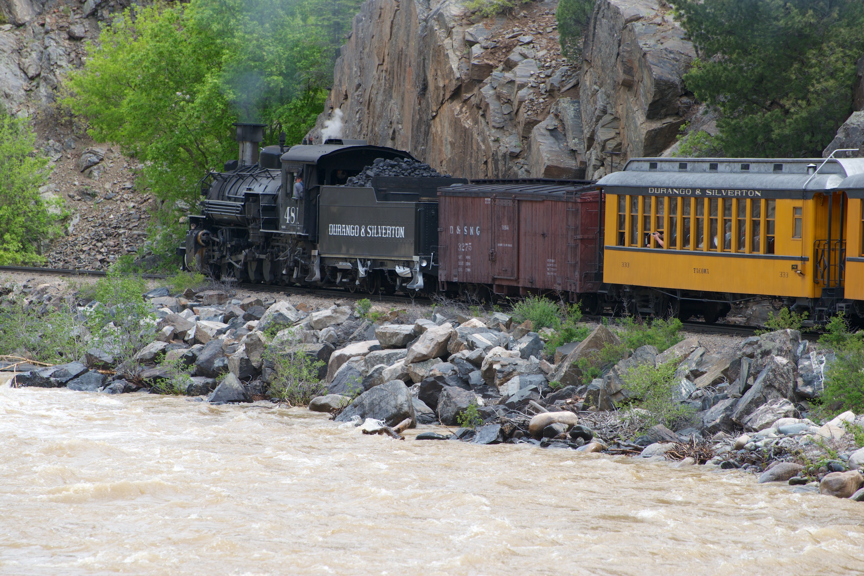
We really liked the campsite we found in Durango, the United Campsite. It was on the free trolley line into Durango, which made getting around really easy and it also had the railway line for the Durango and Silverton Narrow Gauge Railway running through it! So we were able to wave at the steam train at least four times a day! (http://www.unitedcampgrounddurango.com)

Shopping completed, we settled in for the evening. The only excitement was a small Bleu jail break, but he was easily retrieved. He then went for a walk wearing his harness and leash. He is getting much more relaxed about going outside on his leash and is really enjoying it, especially the rolls in the sand that make him all dirty!

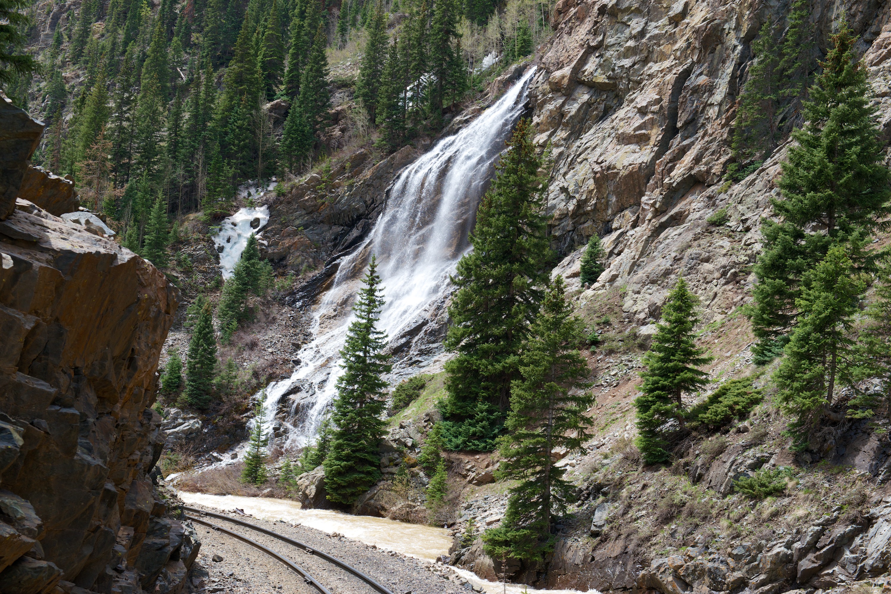
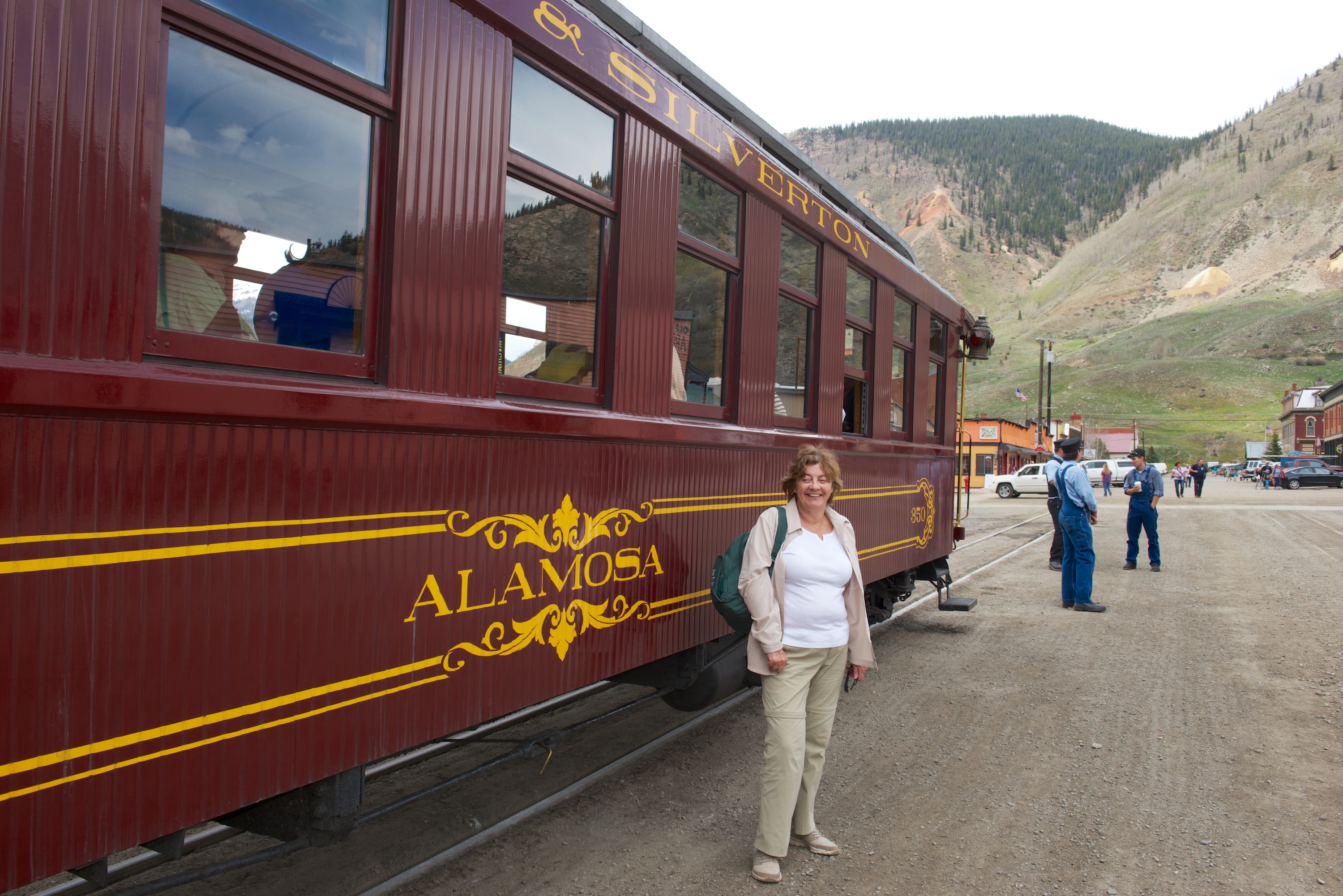
Our second day we were off on the trolley at 7.40 AM to the train station. We were off to Silverton on the train. (http://www.durangotrain.com) We had splurged for First Class Tickets so that Fred could stand on the rear observation platform and (we hoped) get good photos.  He was indeed able to do this for quite a bit of the time and he enjoyed it. Unfortunately, the day was somewhat overcast but we did get a little sunshine in between the clouds and the actual rain shower that accompanied us as we left Silverton. The scenery was spectacular as the train ran alongside the Animas River and as we steadily climbed the forest changed from pine to spruce and aspen, through a deep gorge with lots of snow melt churning. Meanwhile the San Juan Mountains and their snowy peaks were getting ever closer.

Durango-Silverton  0001There is something magic about an RV park with a train running through it.

Durango-Silverton  0003

Durango-Silverton  0004

Durango-Silverton  0006This young lady came out to meet the train when it stopped for water. She knew that handouts were in the offing!

Durango-Silverton  0007

Durango-Silverton  0008Looking back towards Durango.

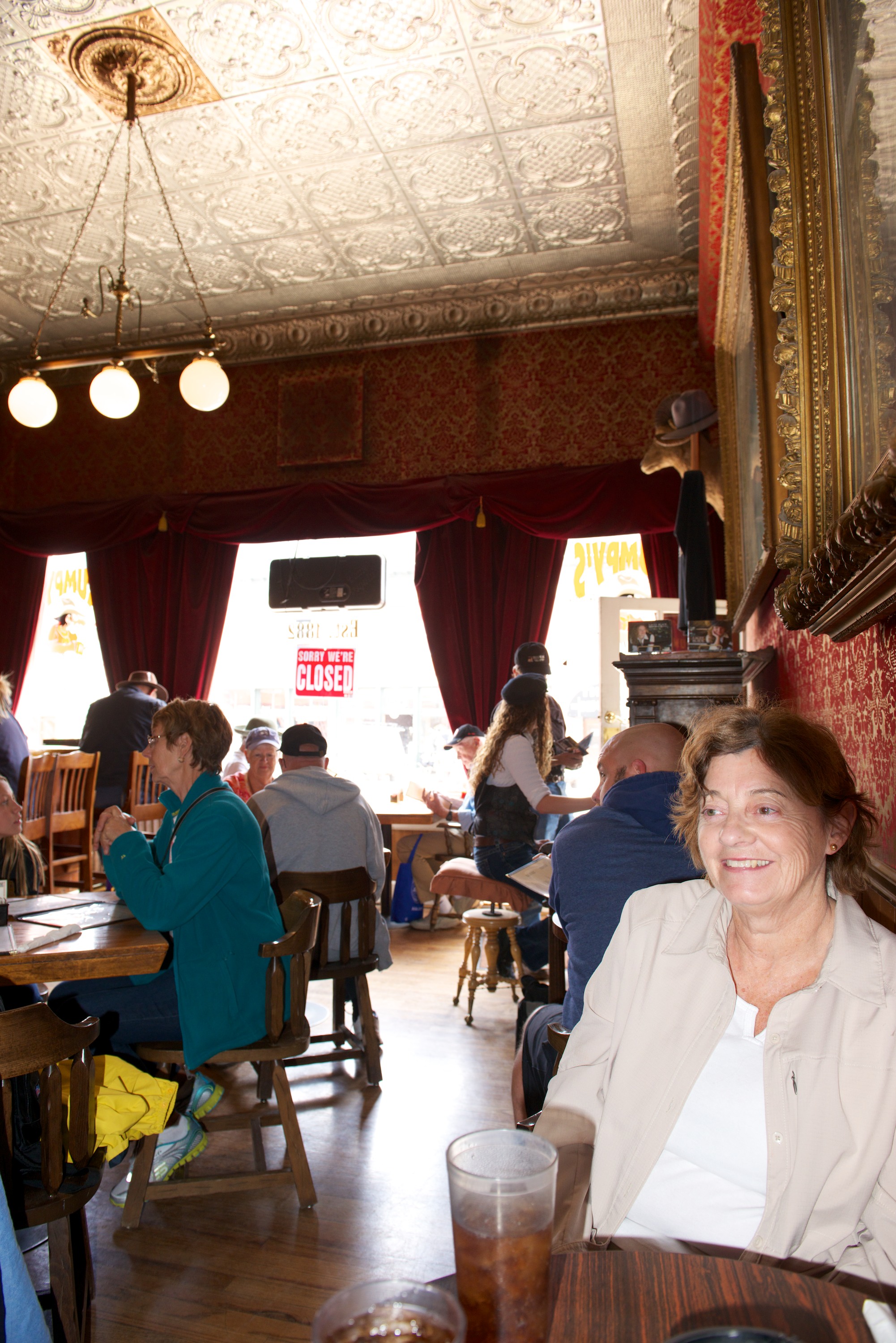
Silverton is an old mining town that still has many of its original (saloons and brothels) buildings intact, though serving different purposes of course! We chose to go to Grumpy’s for lunch, primarily to hear the honky tonk piano player who adds to the atmosphere of an old saloon and hotel. In fact, several of the old bordellos now house restaurants!

Durango-Silverton  0009

We wanted more time there and determined to return with Ndeke Luka; this time though, it was back to the train and Durango.

Durango-Silverton  0010

Durango-Silverton  0011

Durango-Silverton  0013As always there were chores that needed to be done, laundry, shopping etc. We took the Trolley into Durango for a Himalayan lunch, which was actually quite good though the buffet had distinct Indian overtones. (http://www.himkitchen.com) We also visited the Train Museum, which included a huge model train layout, plus several of the old engines and old cars from the era. The general memorabilia was interesting.

Bleu was startled by some mule deer coming through our campsite and also by the train whistles. He was happy to leave Durango, but we enjoyed it and the spectacular scenery that accompanied our drive to Silverton.

Animas Forks  001

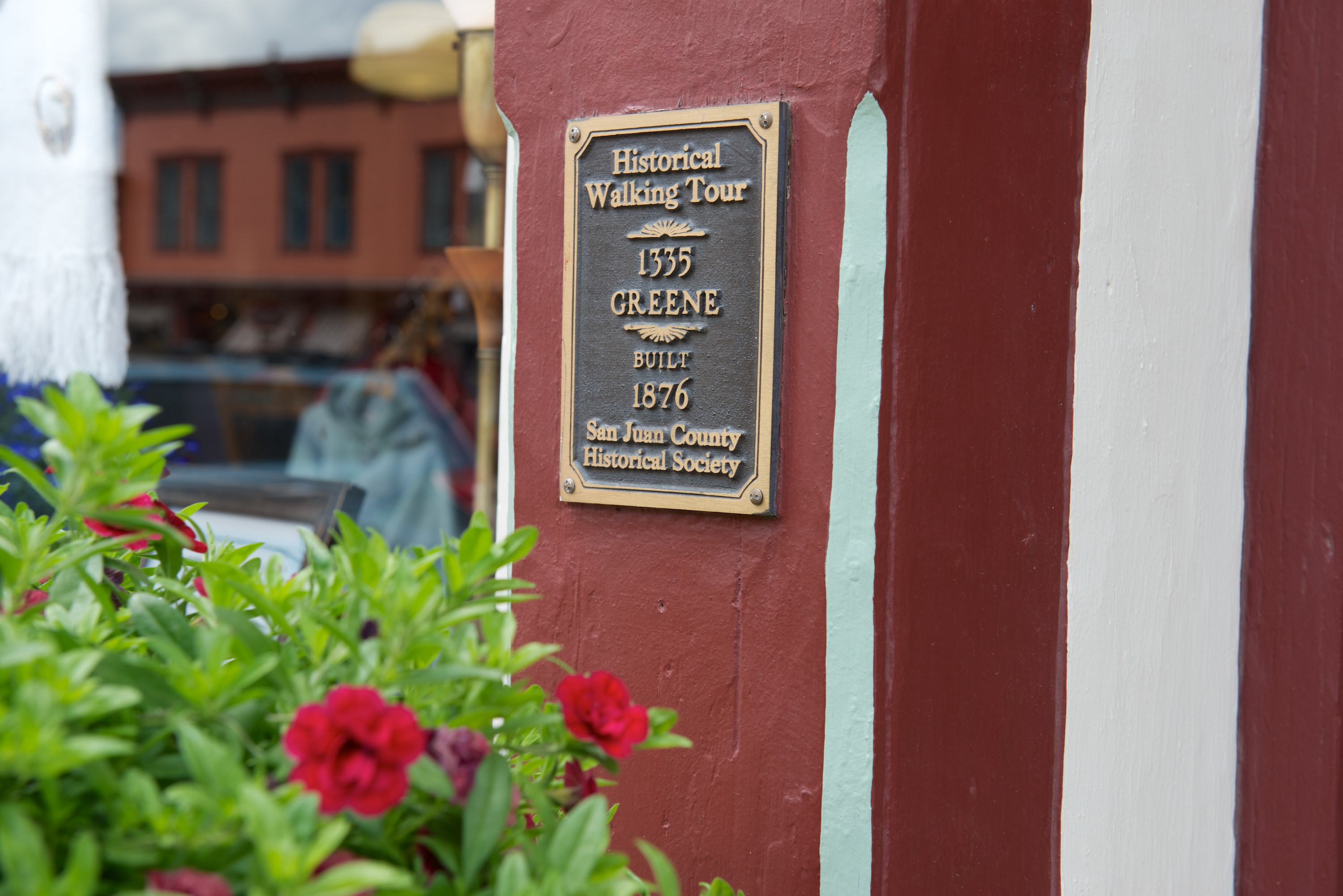
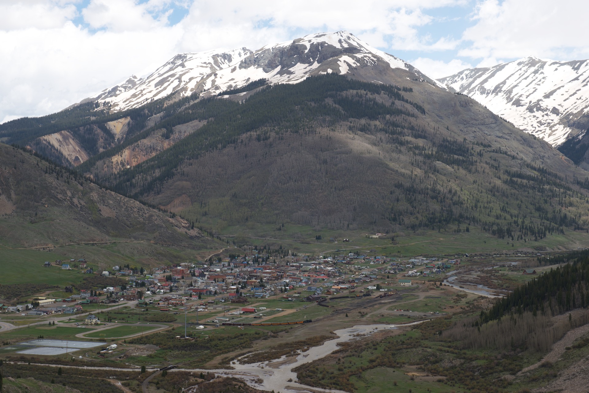
Like many small towns in the mountains, Silverton has only one paved road. We started our visit by riding the stagecoach. Only a short ride but fun! Our stagecoach horses were called Sonny and Cher, but the dog in the driver’s box was clearly in charge! We then visited the Jail and the Museum, both of which were fascinating. The jail was built in 1902 but was amazingly modern with steel cells and other modern features. The Museum included examples of various rocks and crystals found locally and a history of mining, with three levels of a mine showing equipment used to explain how mining of the era was done. We then wandered the town with our Walking Tour leaflet in our hands, taking notice of the dates of the buildings and the various uses to which they had been put.

Animas Forks  002 Animas Forks  003 Animas Forks  004 Animas Forks  005 Animas Forks  006

We confess to eating dinner at the Handlebar Restaurant (part of an old hotel) and it was excellent.  We even had dessert, homemade peach cobbler and vanilla ice cream and bread pudding with bourbon sauce before staggering back to Ndeke Luka. Silverton is at 9,500 feet so one notices the altitude sometimes! (http://www.handlebarssilverton.com)

(More photos to  come, WiFi permitting.)


Rocky Mountain High and Higher!

It is going to feel very strange when we finally do come down the mountain(s); we have been at anywhere from 6,000 to 12,000 feet in altitude for the last couple of weeks. We are actually used to it now! Memories of life in La Paz, Bolivia.

Although our goal when leaving Utah was Durango, Colorado, we allowed ourselves to succumb to temptation and stopped at Mesa Verde National Park.  Although we had already visited Bandelier National Monument and also Chaco, the ruins at Mesa Verde are on a much larger scale and we felt that this visit would complete the experience. So, we stopped at the Visitor Center and both acquired all the information we needed and checked out the excellent displays, before heading to check in at the campground. We then headed to the museum up the mountain. It was a longish drive, about 15 miles, and the views were quite wonderful. Canyons below, cliffs above and snow capped peaks in the distance – plus various outlooks where these could all be photographed. The museum was interesting with a selection of dioramas of Puebloan life at different times and stages of occupation at Mesa Verde and we watched the excellent movie, which gave a good background on the life and history of the pueblo, as far as it is known.

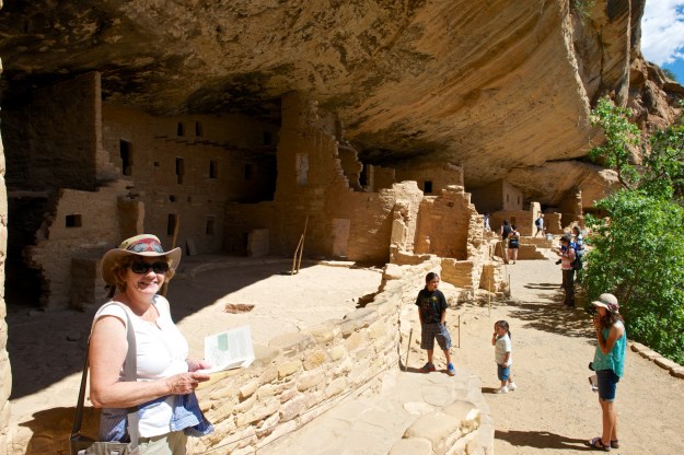
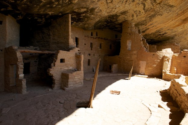
We then headed down to the “Spruce Tree House”. This house did not require the purchase of tickets for a ranger tour, though we did buy a self-guide booklet. We had a good idea of what we would see and indeed, the site was bigger and much more complete but we were able to recognize the various features.  There was a rebuilt kiva complete with entrance, so of course, Fred had to go down to take photos. The rebuilt kiva really brought the other ruins we had seen to life.

Mesa Verde  001

Mesa Verde  002

Mesa Verde  003After hearing so much about “kivas” at other sites, we finally had some reconstructed ones.

Mesa Verde  004The kiva interior was quite spectacular.

After our visit, we drove the Mesa Top Loop.  This had a number of overlooks where we could see a pit house, visit the sun temple and also see across the valley to various sites including the Cliff Palace. This is probably the most famous of the sites at Mesa Verde and requires a ticket for a ranger led tour. We decided that the view from across the valley would be enough, especially when we saw the hordes of tourists milling around.    Mesa Verde  005For scale, zoom in on the people on the right.

The highlight of the evening was a number of mule deer grazing around the campsite. They seemed to have reserved their favorite site.Mesa Verde  006


They did not seem to need any “hookups.” 

Just a Little Corner of U (Utah, that is)

So much to see and so little time has led us to leave our explorations of Utah for the next trip west. However, we did enjoy the short time we spent there and will look forward to  next time.

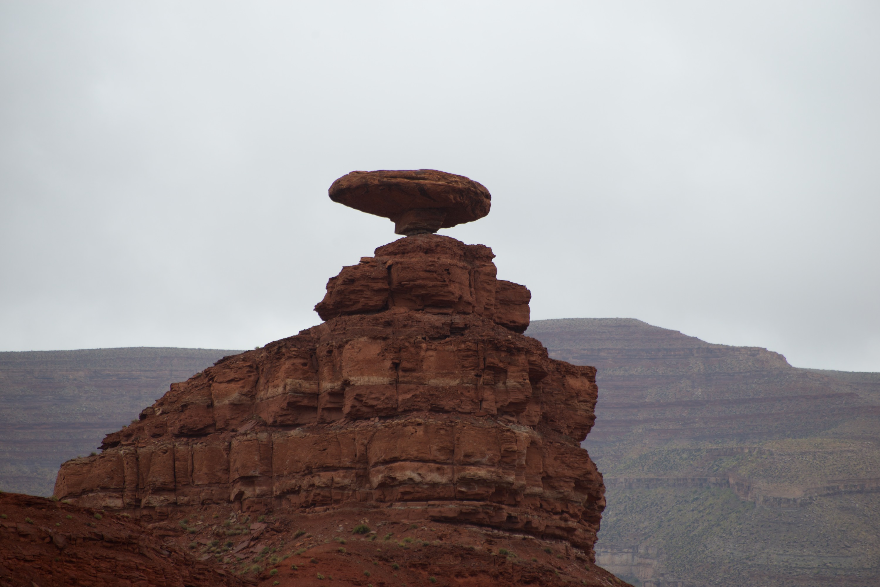
After leaving Monument Valley, we headed into the Valley of the Gods, in the rain, to camp. We did stop at Mexican Hat to take a picture of the namesake rock. We were a little underwhelmed, it was quite small and, especially in the rain, looked rather bleak.

VGods  0001

Ndeke Luka quickly got covered in a nice layer of red mud, which makes it look rather macho! Jesting aside, we found a lovely campsite near some buttes in the Valley of the Gods and spent a relaxing day there. (https://www.utah.com/monumentvalley/ValleyOfTheGods.htm) N.B., The Valley of the Gods was used to film parts of the TV shows “Airwolf” and “Dr. Who.” Thanks to Tiger owner Jack Arnold for the suggestion that we go to the Garden: http://www.jackarnoldphoto.com

VGods  0002 Battleship Rock

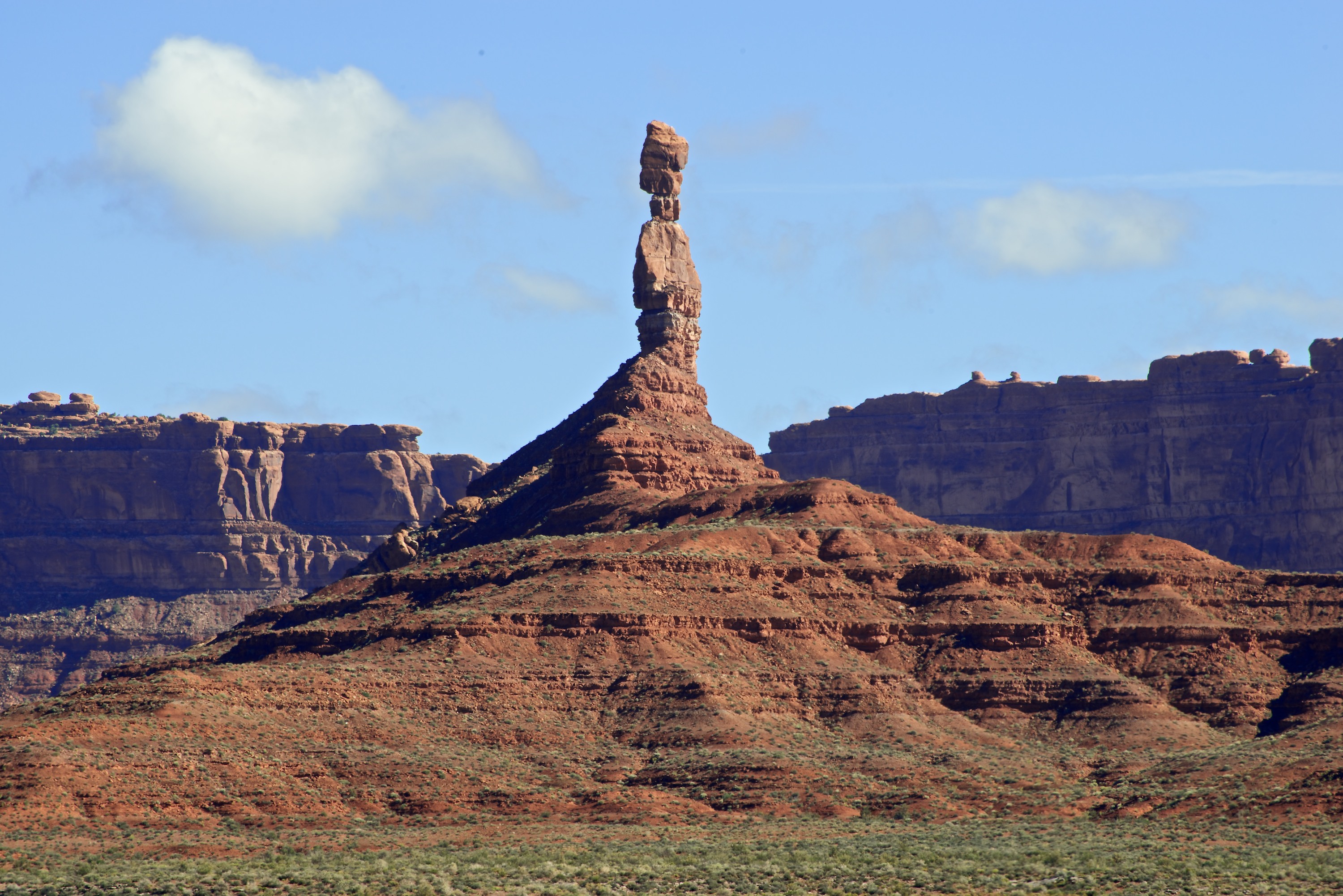
VGods  0004 Pretty Balancing Rocks (Several hundred feet high.)

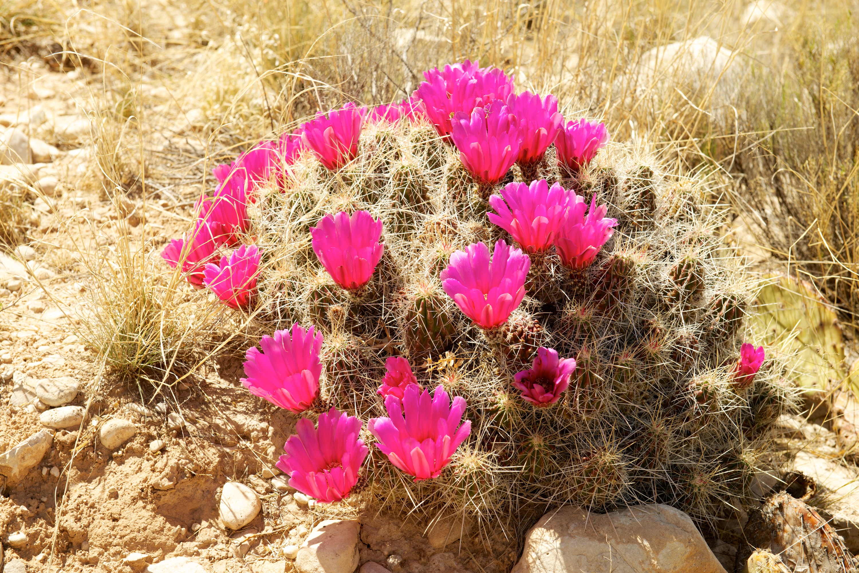
We took a walk in the afternoon, after the rain stopped, and Denise saw at least two new types of spring flowers. One of the joys of this trip, has been the number and variety of spring flowers that we have seen blooming in the desert. We do not always know what they are but we do enjoy seeing them.

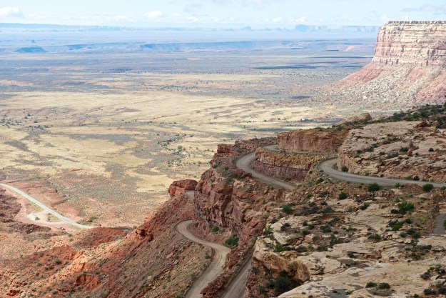
As we were so close, we went to see the Natural Bridges National Monument. Our road led us out of the Valley of the Gods, up an amazing road to Cedar Mesa, via the Moki Dugway. The road was a series of steep and sharp curves, as we climbed up and the views back towards the Valley of the Gods were amazing, especially as the rain had cleared any dust or smoke. Quite spectacular. The link from “Dangerous Roads.org” sets the right tone:  http://www.dangerousroads.org/north-america/usa/783-mokee-dugway-usa.html

VGods  0005

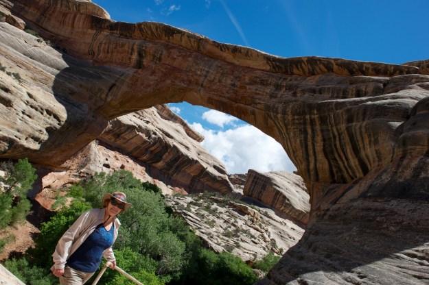
There are three natural bridges at the Monument; Sipapu, Kachina and Owachomo.  (http://www.nps.gov/nabr/index.htm) There are trails to the bases of all three, the first two being a little rougher and more challenging than the third. We descended Sipapu to a marvelous oak grove at the stream under the bridge, via a series of paths, rocks, steps, ladders, and hand rails for great views and a little much needed exercise! We also climbed down to Owachomo, which proved somewhat easier and less strenuous (at least going down!) but also was well worth it.

The primitive campground at Natural Bridges was full, so we camped in the forest outside.

Natural Bridge  001Sipapu from the overlook. Hard to see the bridge at first, then you see the hole and can see how the water originally went around the pier of rock to the left of the photo.

Natural Bridge  002Sipapu from 3/4 of the way down. Note the beautiful green trees.
 

Natural Bridge  003Sipapu, seen from the bottom.

Natural Bridge  005 Denise at Owachomo.

Natural Bridge  004  

And on to Colorado. Utah we hardly knew you, but we’ll be back!

Arizona – Does anyone really know what time it is?

(With apologies to the the band, “Chicago.”)

We have never been in a state that made it so difficult to tell the time! Most of Arizona is NOT on Daylight Savings Time, but much of Arizona is on Navajo Reservations and they ARE on Daylight Savings Time. Just to make it more interesting, the Hopi reservations are on Arizona time. But fortunately, we have not been seriously early or late despite the challenges!  This is of course, one of the advantages of camping! One morning we left the campsite in Utah, drove four miles down the road back into Arizona and gained an hour and then lost it again on our return to the campsite! Endless opportunities for confusion.

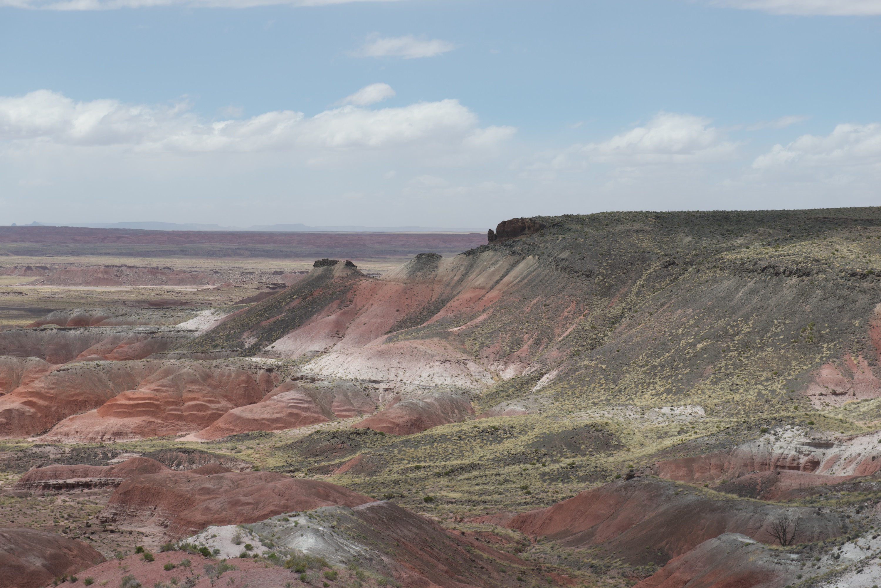
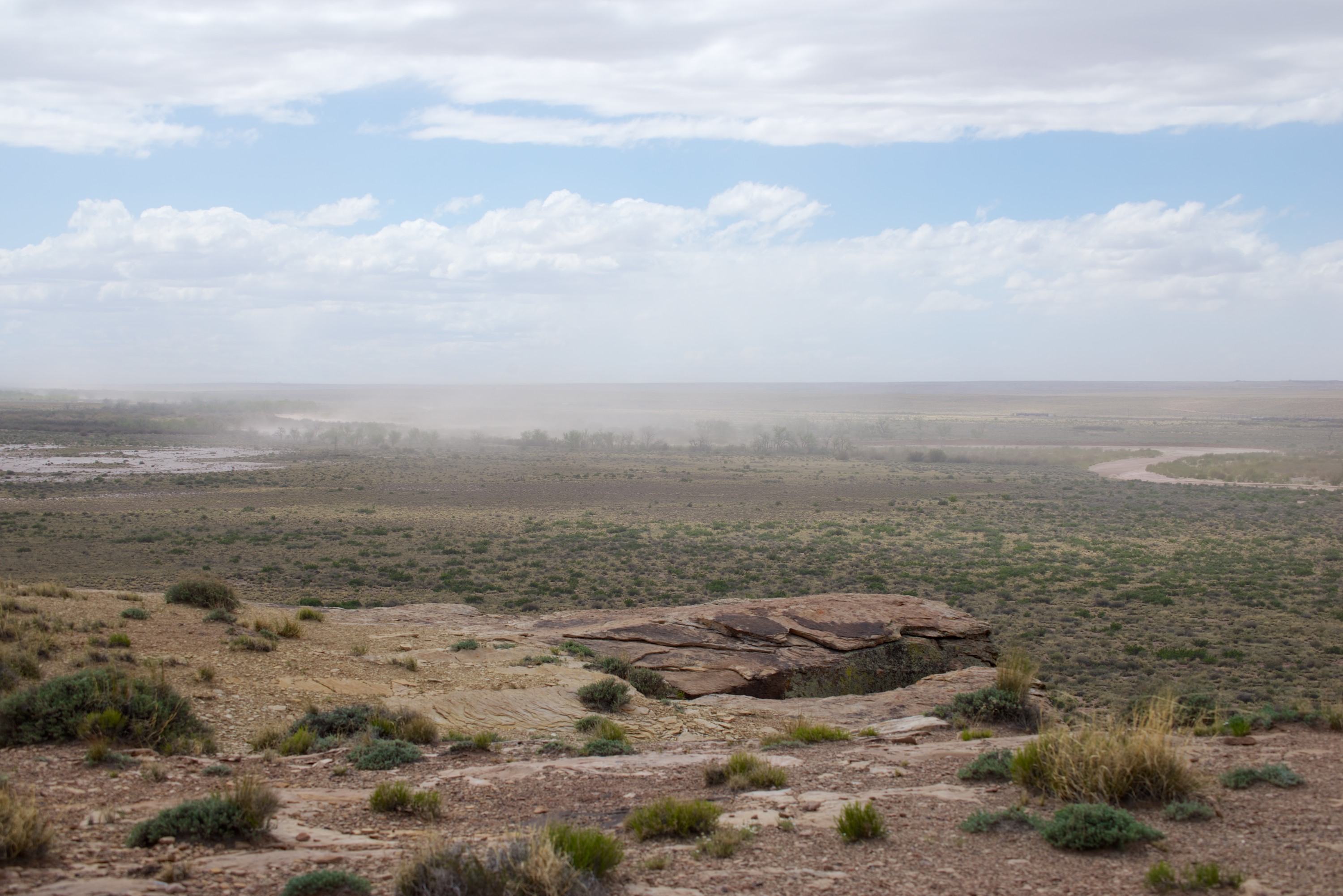
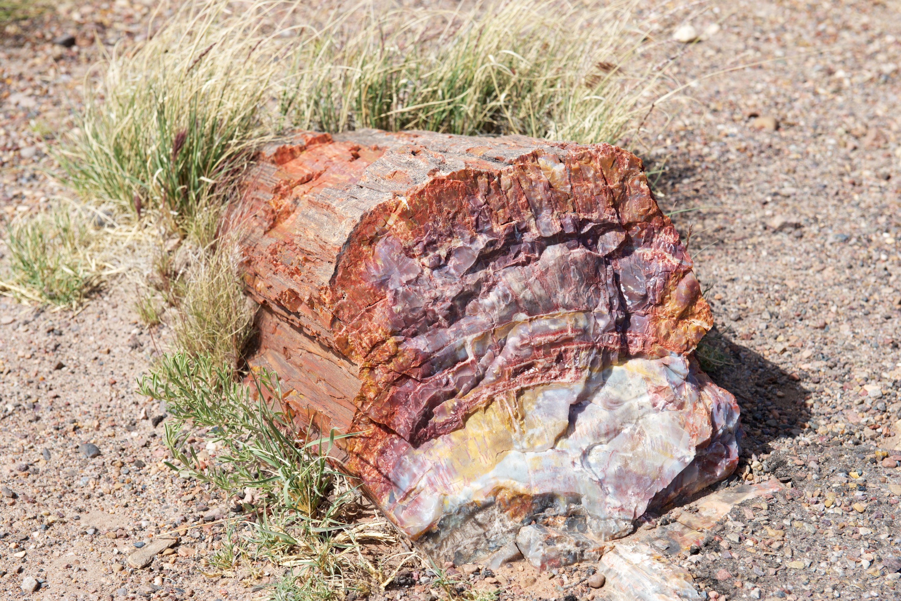
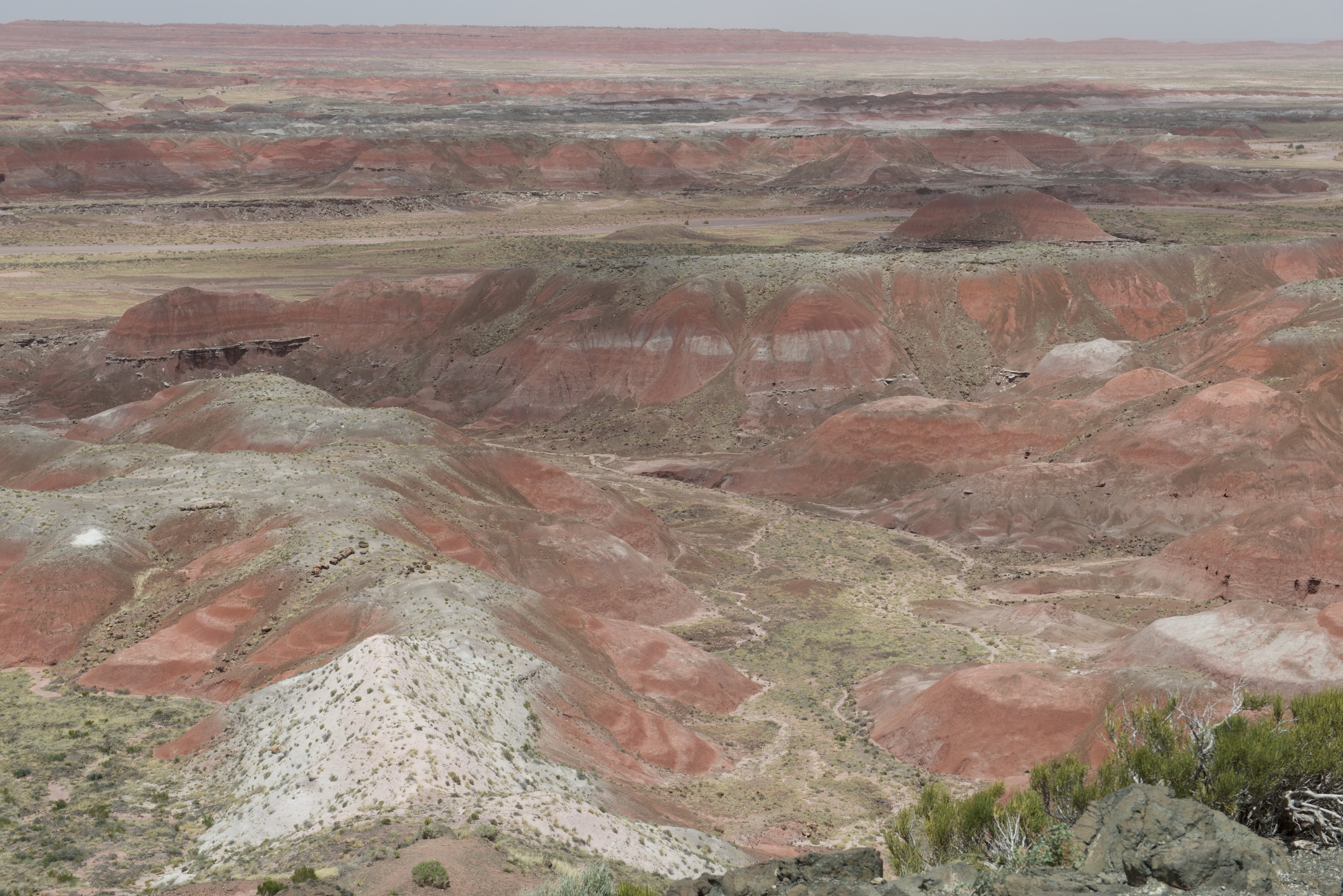
En route to Flagstaff, we made a stop at the Painted Desert and Petrified Desert National Park. The colors of the desert were a bit muted due to the dust, stirred up by the howling gale, which was exceptionally strong that day, close to 50 mph. Talk about blowing a hoolie! We did brave the wind to see some wonderful petrified wood with its incredible colors, but I cannot say it was a pleasant experience.

PaintDesert  0002 PaintDesert  0003 Nifty custom built camper on an Iveco “Daily” 4×4. Owned by a charming French couple whom we met again at Sunset Crater.

PaintDesert  0004 PaintDesert  0006Dust blowing in the wind.

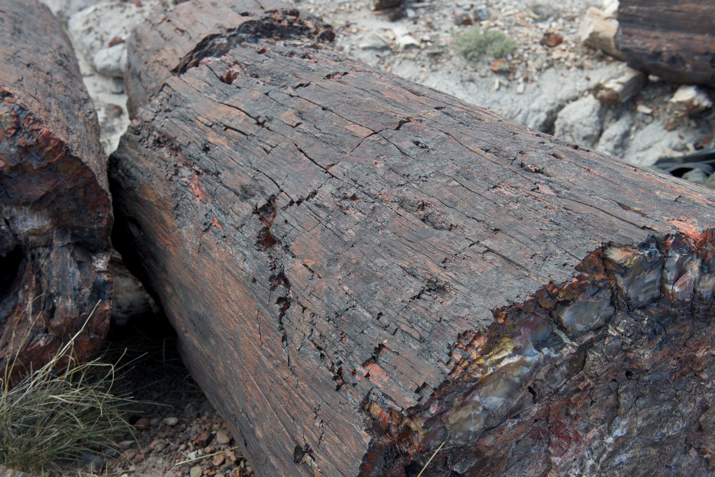
PaintDesert  0007 PaintDesert  0008 PaintDesert  0009 PaintDesert  0010You can really see the wood on the outside of this log.

On the last leg of our trip to Flagstaff, we made a little detour, to Meteor Crater. When Fred was a child, he crossed the United States twice by car, and both times drove right by the crater without stopping. This time, he was DETERMINED to see the thing. And from the south side. (Which requires a small scramble over the rocks to an old mine site.)

MeteorCrater  0003

MeteorCrater  0002Looking north towards the visitor center.

 MeteorCrater  0004Looking west towards the San Francisco mountains, over Flagstaff.

Once in Flagstaff, we needed to prepare both ourselves and Ndeke Luka for the Overland Expo, so we headed to the KOA campsite which was in a good location. We found it full of various campers and off road vehicles heading to Overland Expo, including Robinson Fuso and its owners, Jon and Emily Turner, with whom Fred had corresponded but had never met. So, it was fun to have company while we organized laundry and cleaned the Tiger. We went first to a car wash with large bays, then cleaned inside to make Ndeke Luka presentable. We did spend a day in Flagstaff learning both the local history by visiting the Riordan Historic Mansion, built by a local family who owned the lumber mill, and the geological history by visiting the Sunset Crater, a cinder cone just outside town. Flagstaff sits on the slopes of the San Francisco mountains, the remnants of a mega volcano that blew in prehistory and the whole area is a mass of lava and tuff and contains many craters. None are active, for now.

As we travel it is fun to meet and re-meet acquaintances. We met a French couple at Painted Desert and again at the Sunset Crater, where they were staying in the campsite. They too were impressed with the crater.

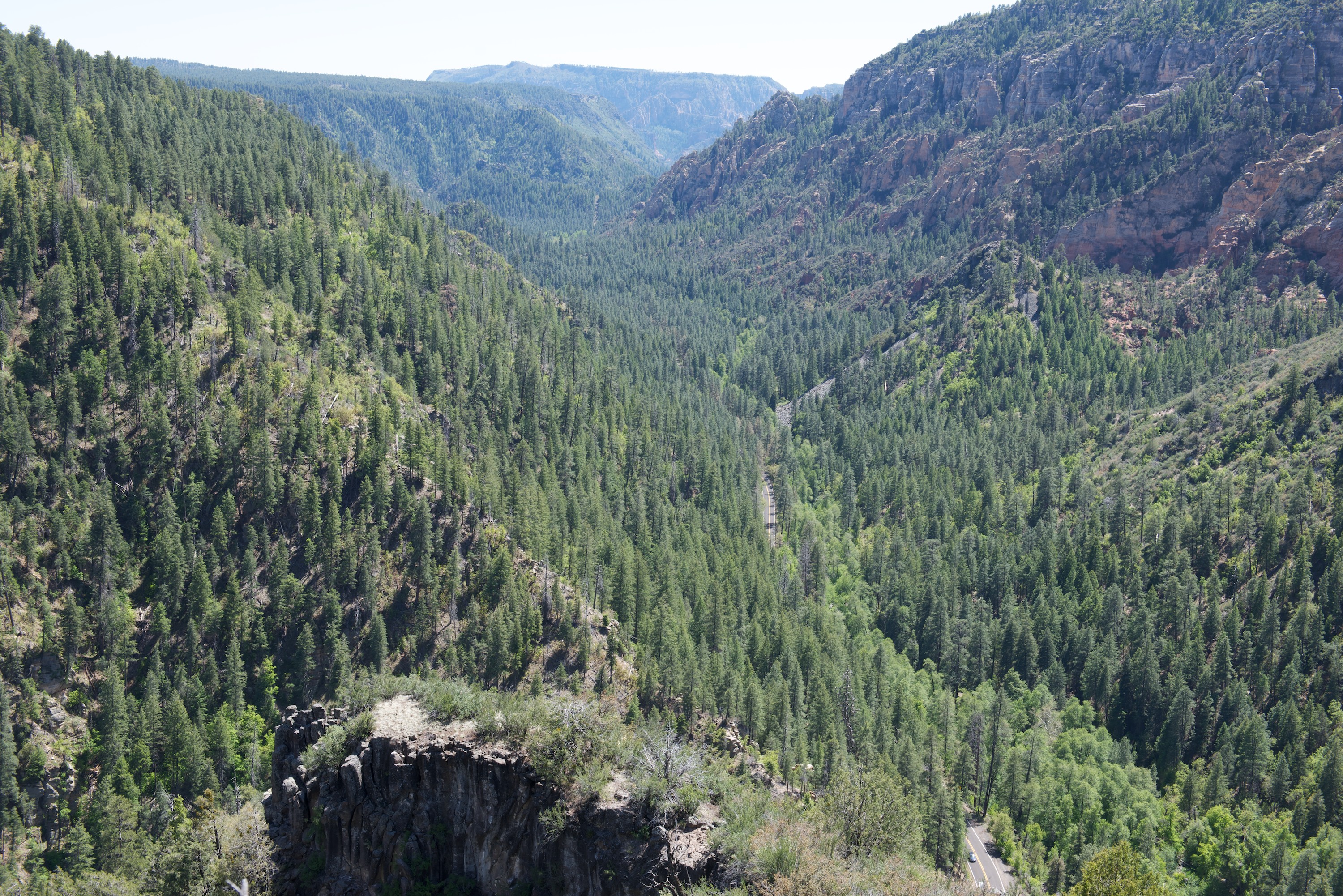
We also made a day trip to Sedona. The town was highly touristy, as we expected, but we did get a great pizza and salad for lunch. The drive up and down the Oak Canyon road was fun and the views from the top were great.

SedonaOEXPO  0001 SedonaOEXPO  0002 SedonaOEXPO  0003 SedonaOEXPO  0004

(Right after we left the Flagstaff area, there was a terrible fire in the Oak Canyon area. We saw the smoke from the Grand Canyon.)

With a clean camper and a larder full of food (not to mention the fridge), we set off for Mormon Lake Lodge, site of the Overland Expo.  This year’s event was very successful with several thousand attendees. We parked in the Provan Tiger section, along with a Bengal that Mark Guild had brought and a Malayan LT.  Fred gave four presentations and was also took part in two roundtables, so Denise was responsible for showing our Malayan HT.  Each day produced a steady stream of interested persons, so it was a busy time and quite hard work!  However, all the visitors seemed to like the vehicles and were appreciative.
SedonaOEXPO  0006Tigers, old style and new.

SedonaOEXPO  0005

Norlina Bleu, handing out Tiger literature. We had to explain that the cat was NOT included in the price.

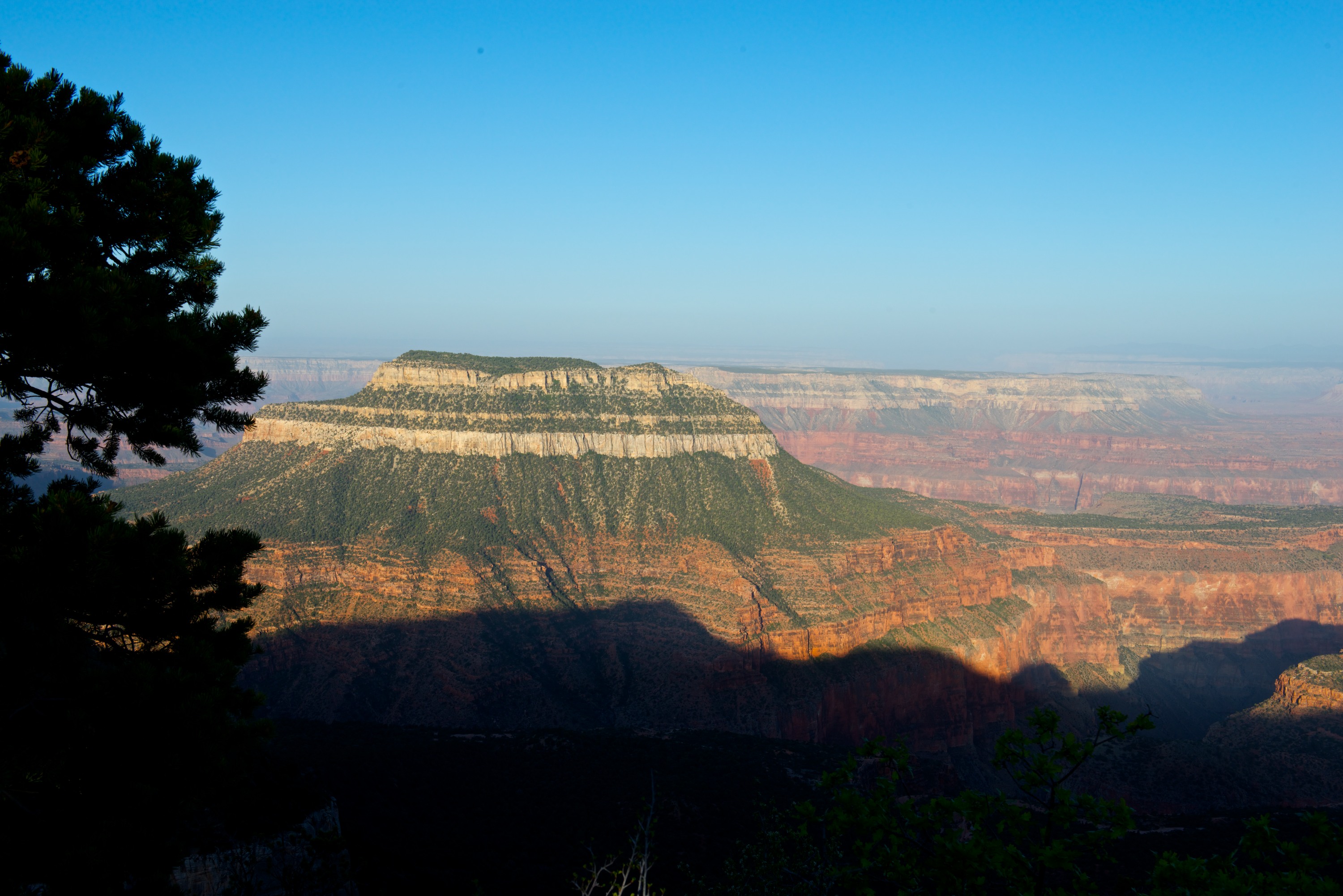
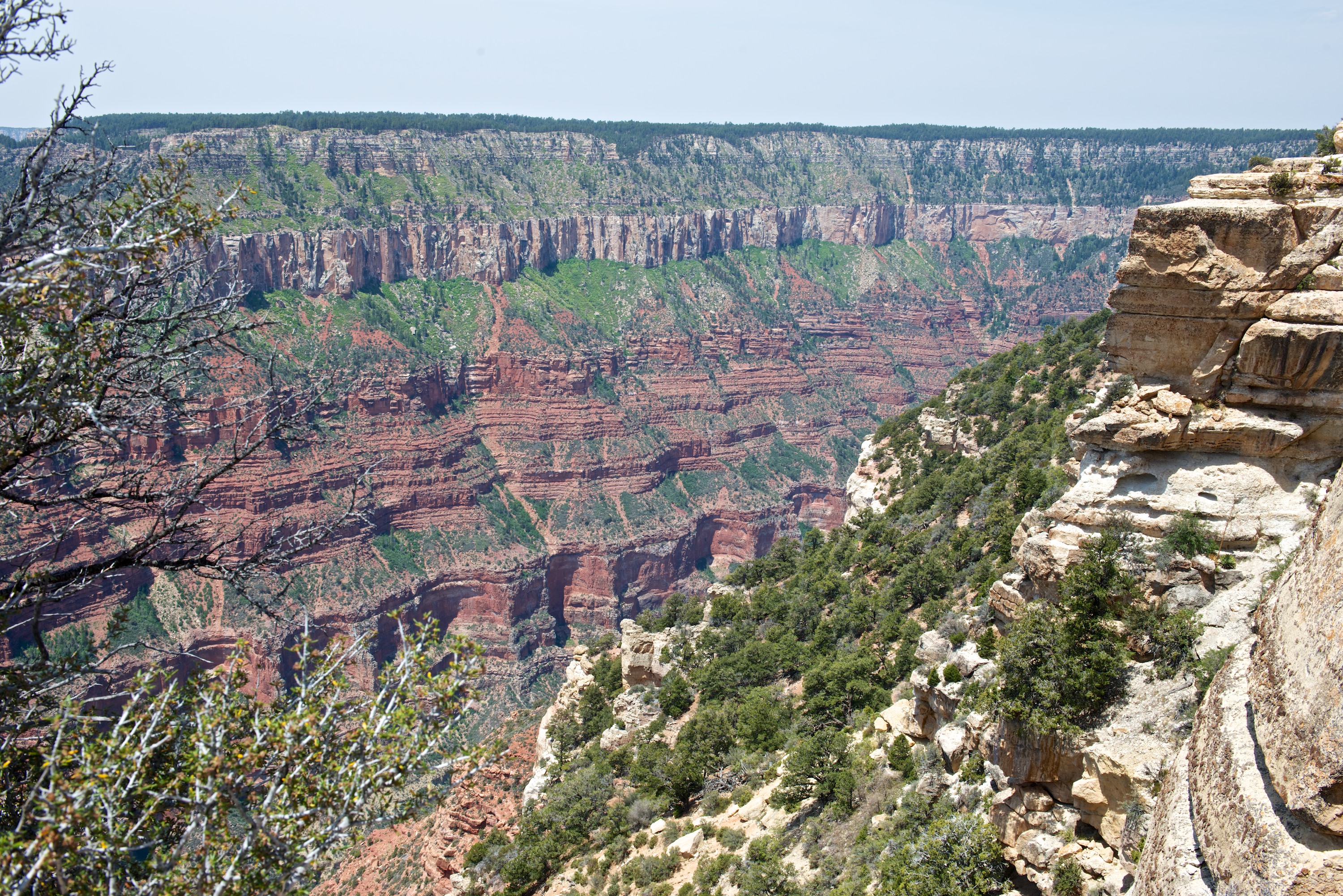
Along with Robinson Fuso (and Jon and Emily) we then headed north to the Grand Canyon. (http://robinsonfuso.com/) We could not get a reservation for the North Rim Campsite, nor Point Sublime, but after a little research, we went into the Kaibab National Forest and camped on two of the Points on the Rainbow Rim Trail, overlooking the Canyon. With chairs placed in full view of the Canyon, it proved very pleasant to sit and enjoy an evening glass of wine. Our first campsite on North Timp Point was great. Our second, at Parissawampitts was a little more challenging but worked after Emily found a wonderful campsite. We enjoyed some great dirt roads, some walking and lots of great company. Denise also thoroughly enjoyed a one hour mule ride along the canyon rim on a greedy mule called Fancy.

GCanyon  0005 GCanyon  0001 GCanyon  0014 GCanyon  0015

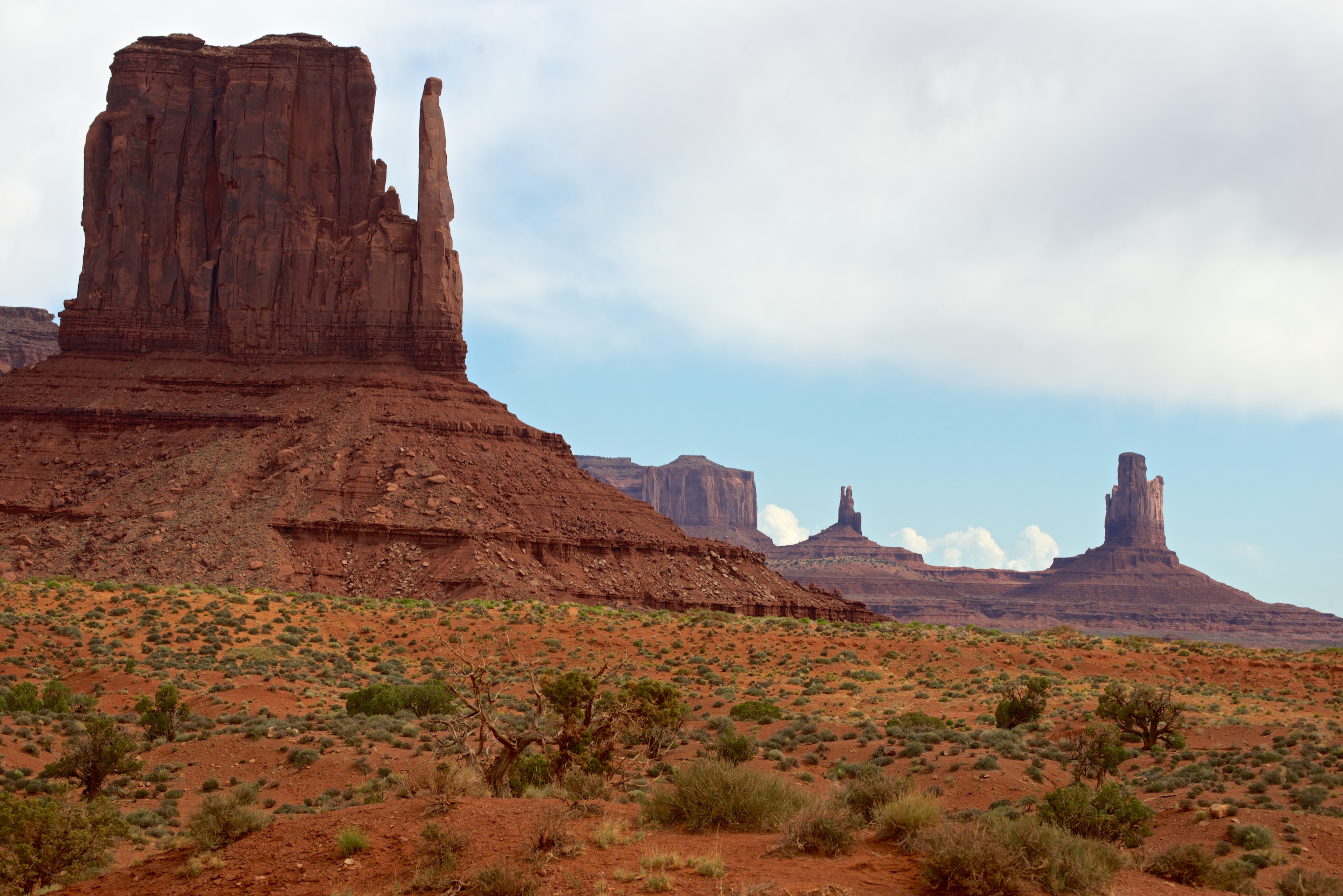
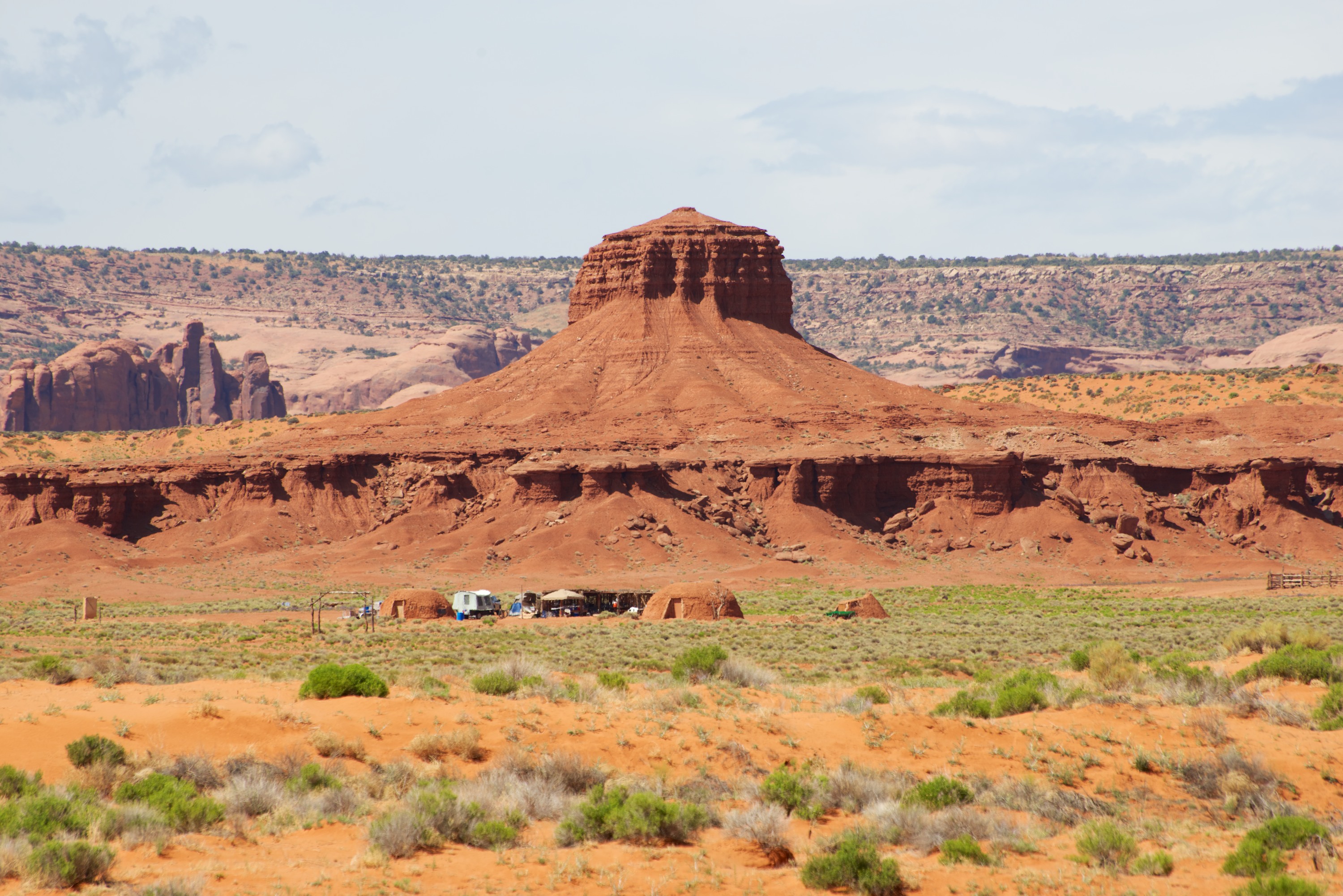
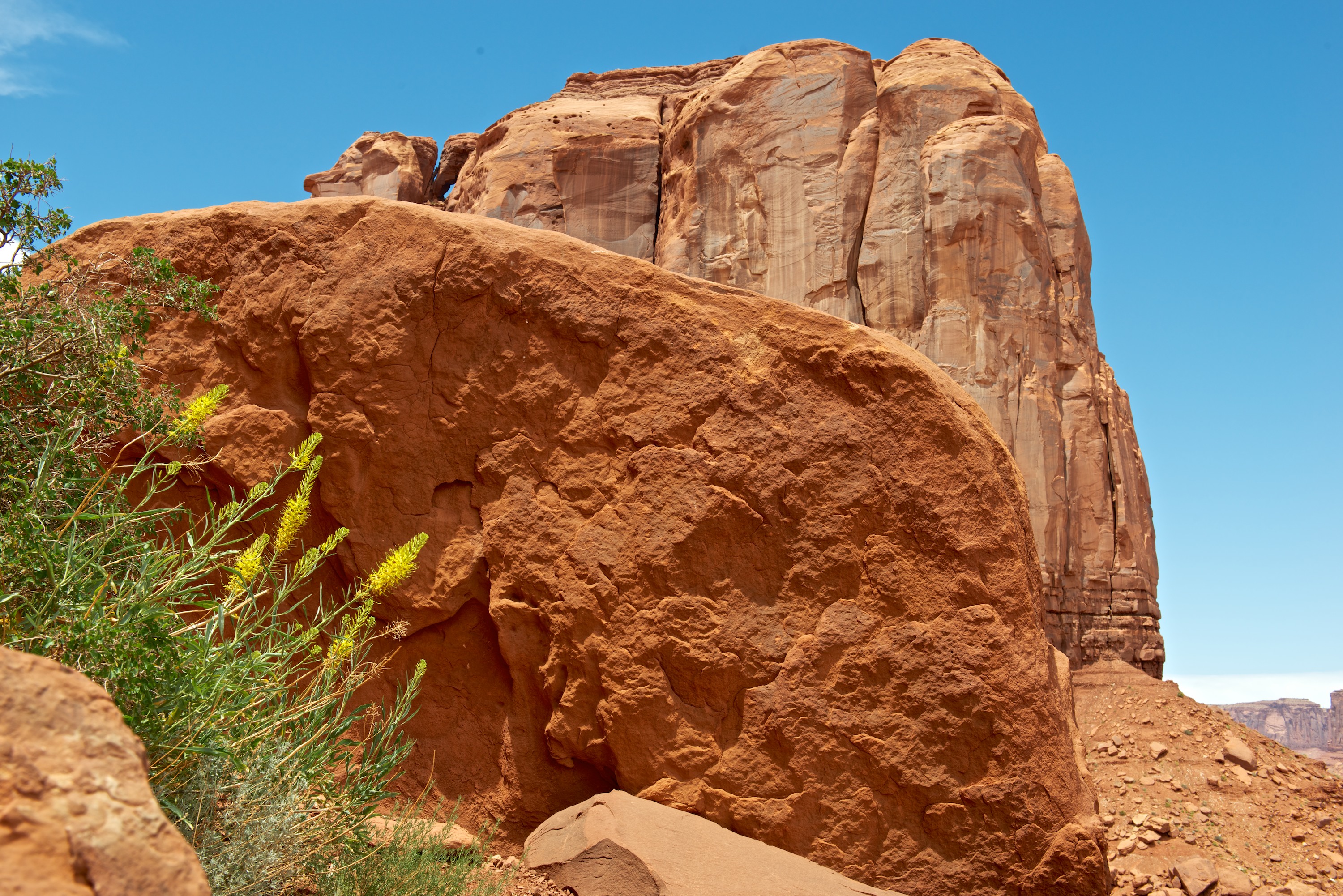
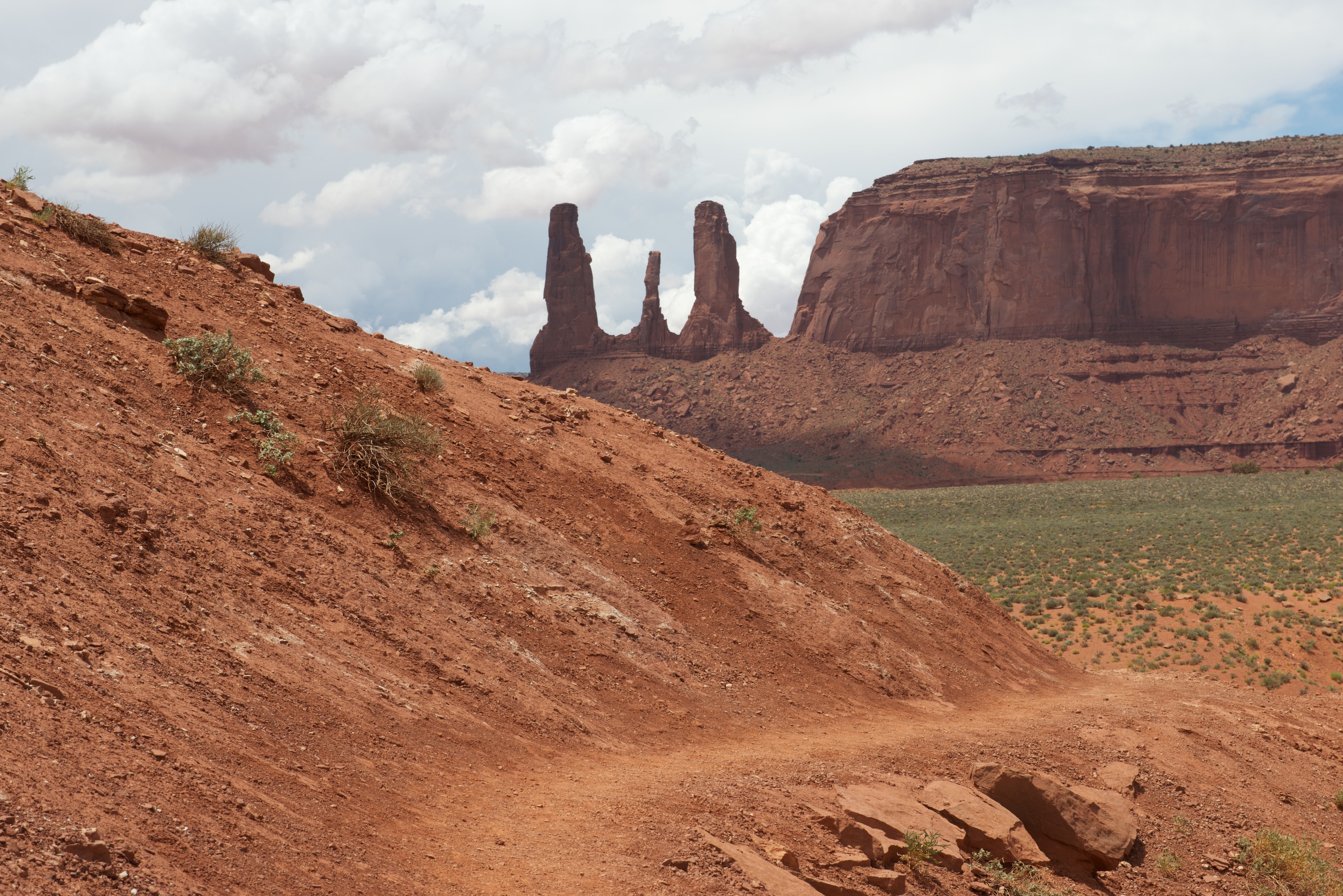
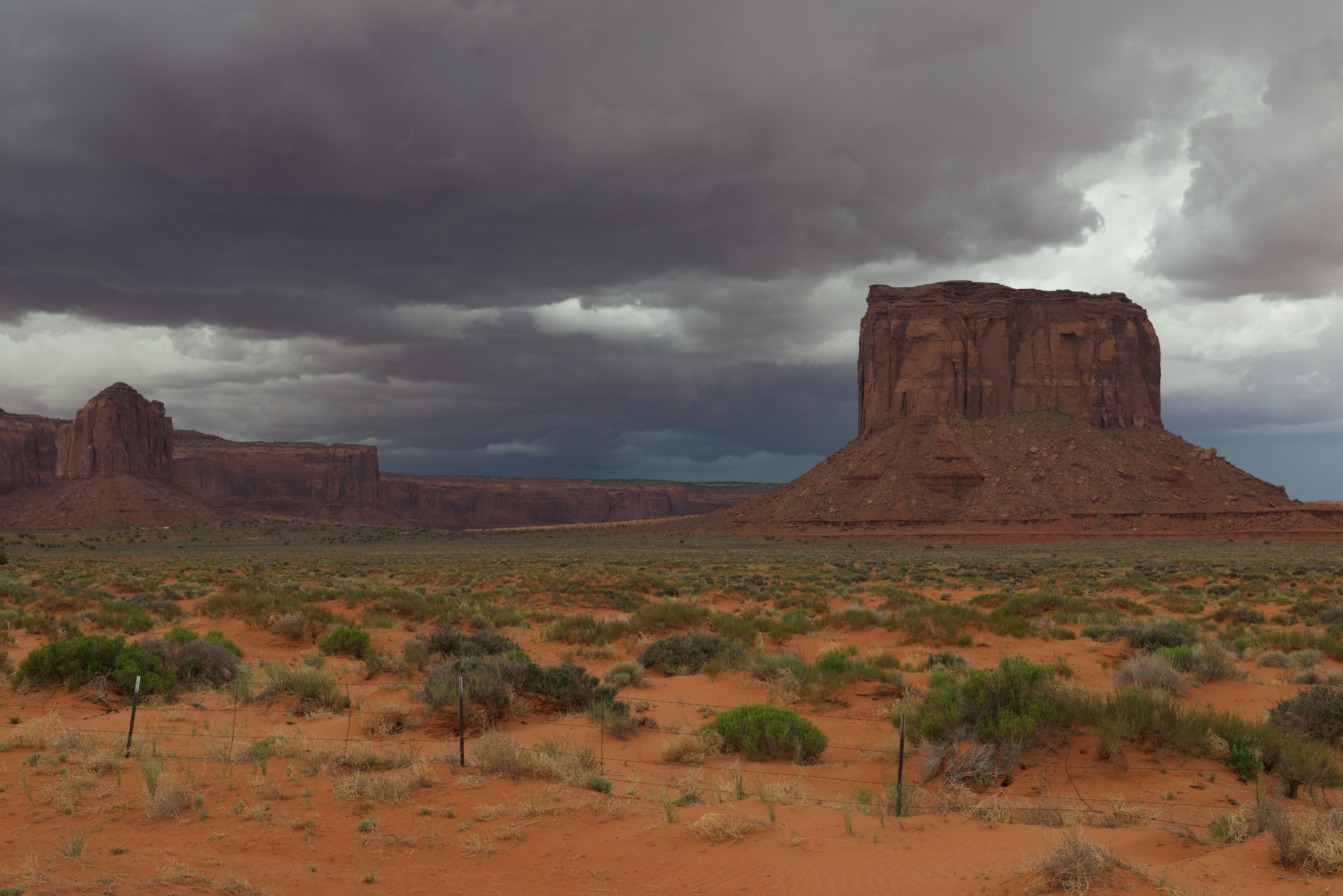
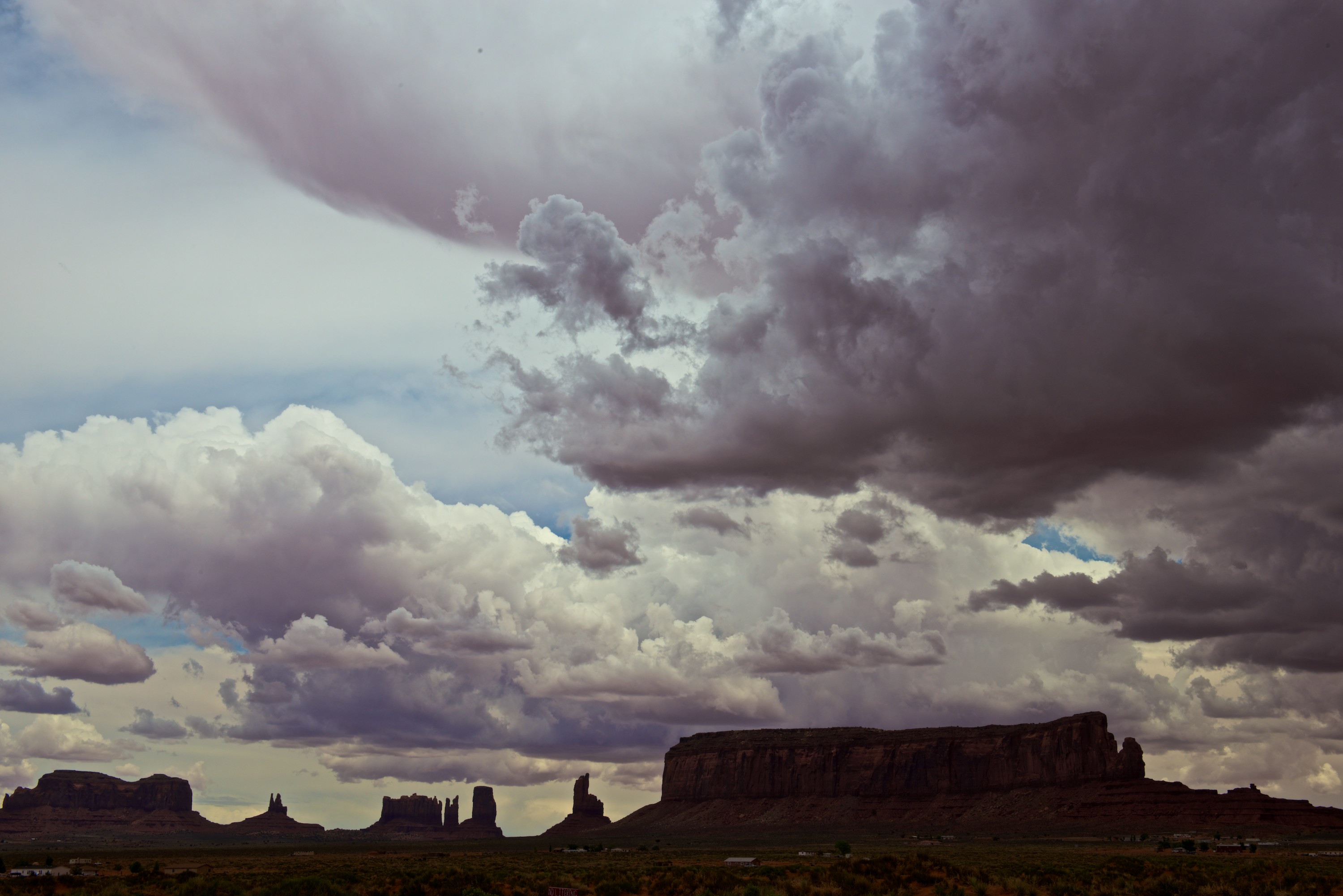
Our last stop, barely in Arizona, was Monument Valley.  We set off to drive the circuit road, advertised as being unpaved and rough, for the full 17 miles and were soon exceedingly pleased that the Malayan drives so well off road. The road is indeed rough and reminded us of roads we have known and loved in Africa. Bleu, on the other hand, was not thrilled. He has decided he is not in favor of being an off road cat! He likes to ride on the dashboard when we are on unpaved roads as it bounces less but he keeps changing the settings on the GPS! But the drive was certainly worth it. It took us about 5 hours to make the tour and we loved every minute. The buttes and peaks are spectacular! We had a great day from a photography point of view with lots of amazing clouds as well as plenty of sunshine.

MValley  0001

Rain at Monument Valley.MValley  0002 MValley  0003 MValley  0004

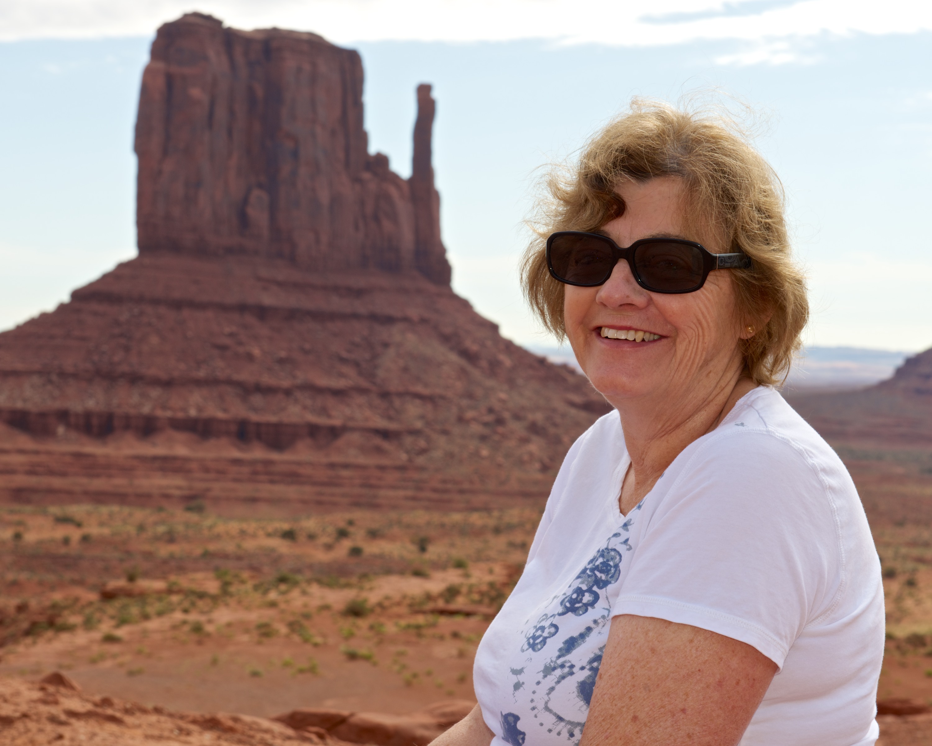
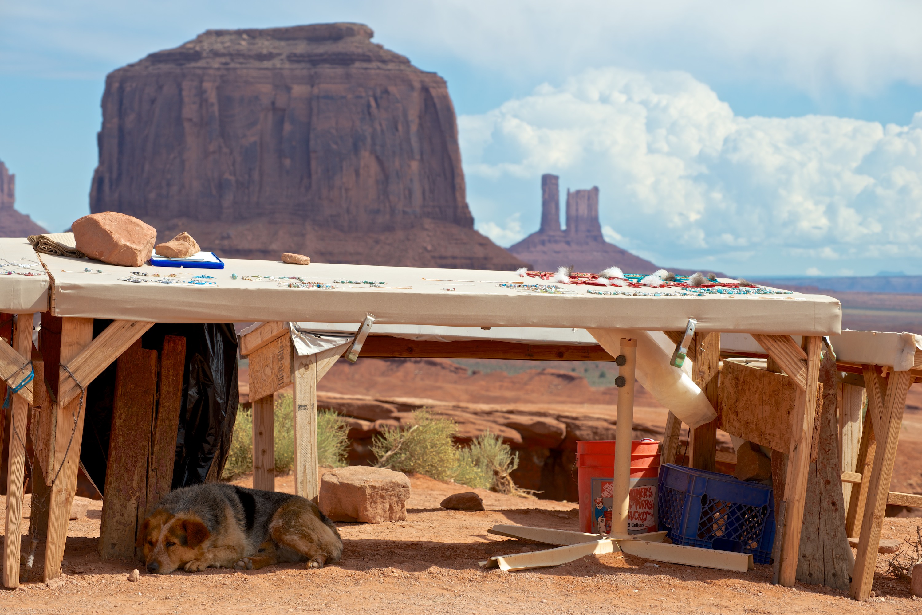
Obligatory portraits at the Mittens.MValley  0006 MValley  0007Dog, selling jewelry.

MValley  0008Iconic shot, from John Ford’s Point.

MValley  0009 MValley  0010 Ndeke Luka, with the dancers and the totem pole.

MValley  0011You could really make a Western here …

MValley  0013 MValley  0014 MValley  0015 MValley  0016Tourists, calling it a day.

MValley  0017 MValley  0018Dramatic clouds.


Even more Enchantment

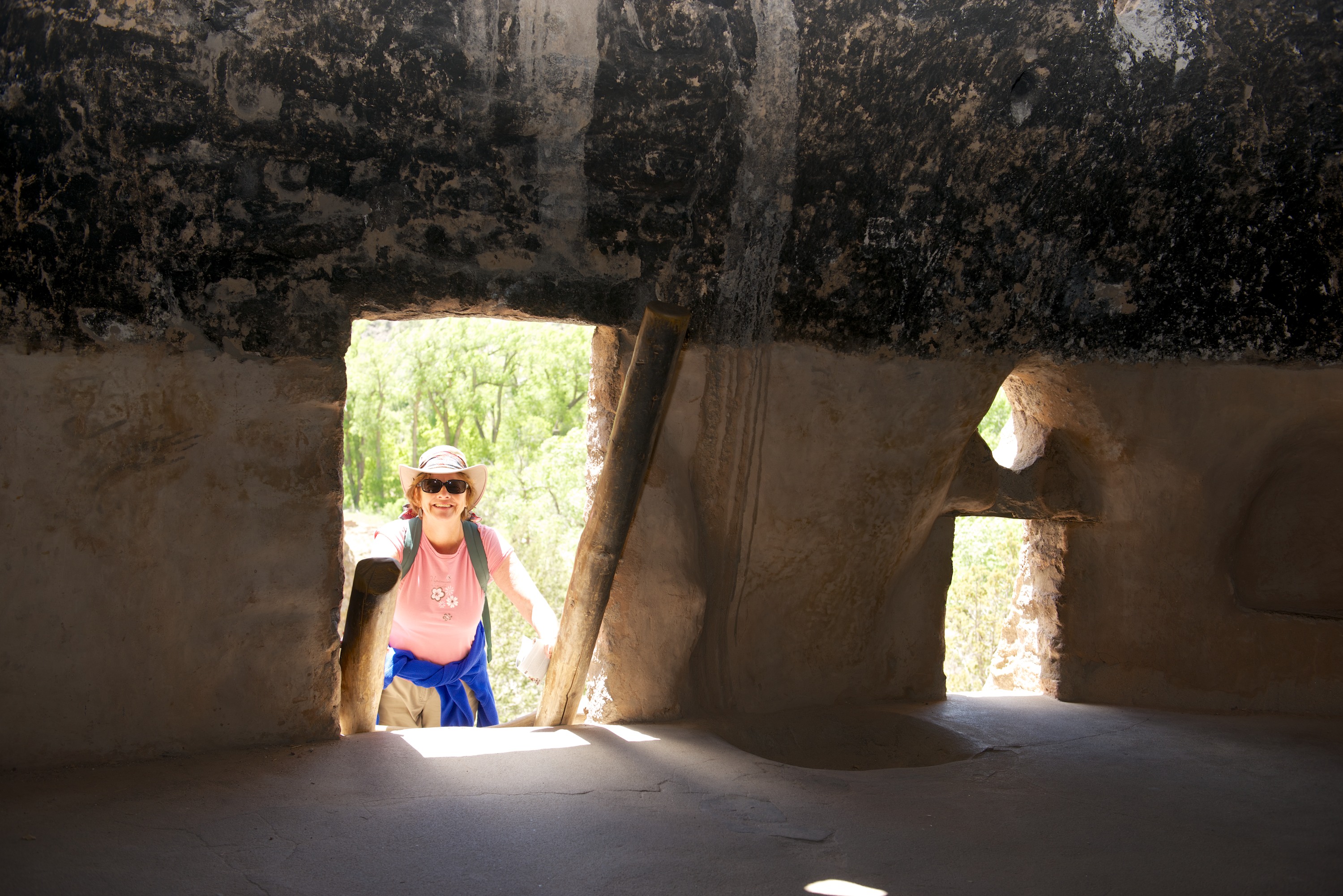
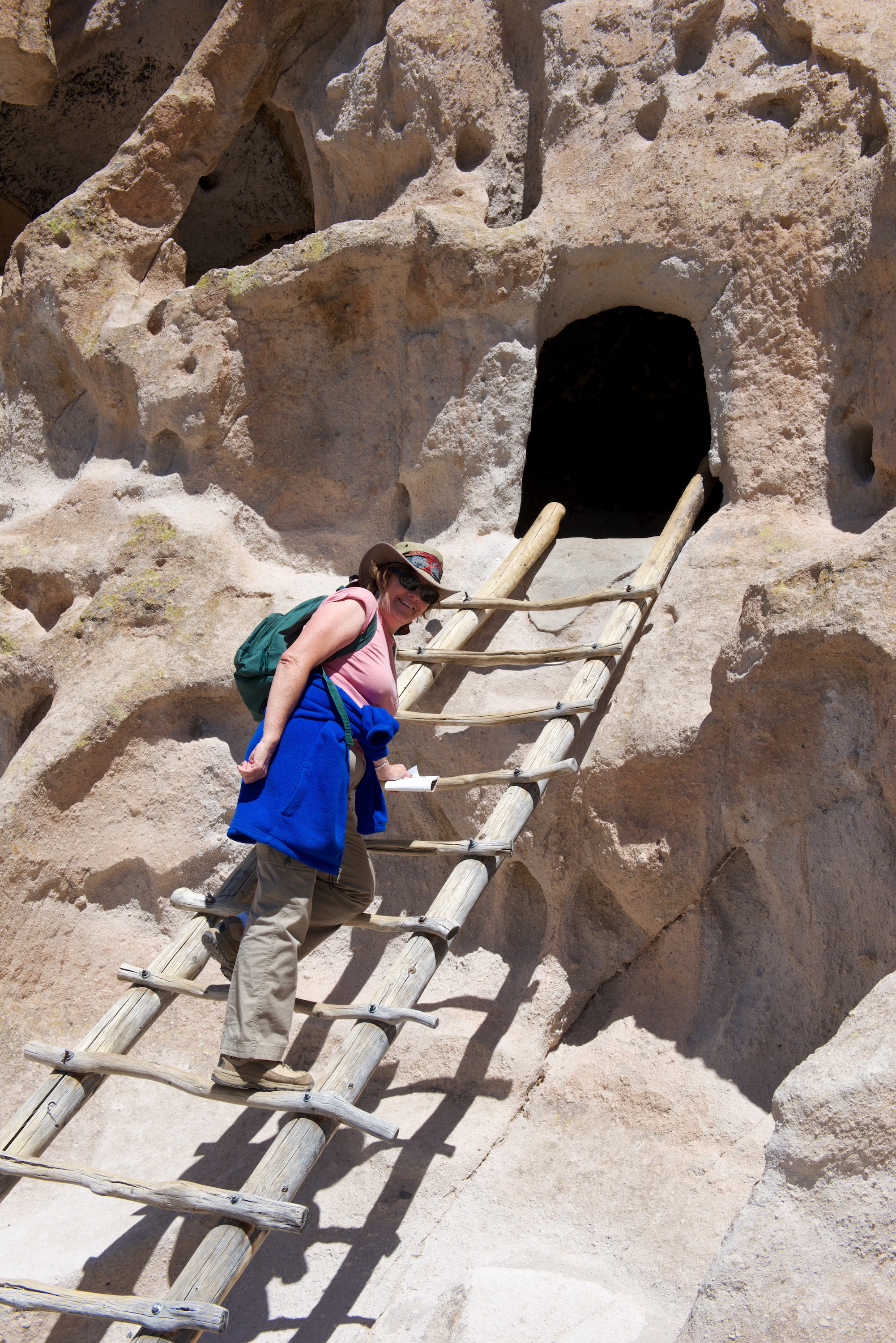
We regretfully left Santa Fe and headed to the Frijole Canyon of Bandelier National Monument, a site occupied until the 1400’s by the Ancestral Pueblo.  (http://www.nps.gov/band/index.htm) There are remains of a pueblo village, Tyuonyi, which includes a circle of homes, plus several kivas (underground meeting rooms), two of which had been rebuilt, while the others appeared simply as dips in the ground and had not been touched. We also climbed up to view the cliff dwellings, including the Alcove House with its reconstructed kiva and ruins of cliff houses.  The views along the cavern were quite green, at least in comparison to the barrenness around it, due to the stream running through it. The views of the canyon itself, with the mesa behind it were spectacular.  We camped at a very nice campsite at the National Monument, though by the evening, the weather had changed and it was windy and cold.  It reminded us what a joy it is to have a warm Tiger in which to retreat!  The cliffs, where the houses were built, were formed by volcanic ash hardening after a massive eruption and we next went to see the caldera, at Valle Grande, which resulted from the eruption.  The caldera formed a huge grassland area at 10,000 feet, with occasional small “hills”, where the volcanic action continues.  The purported elk herds were absent without leave, though perhaps that was because it was snowing!  The weather on this trip seems to swing from one extreme to another with gay abandon.
Bandelier  0002

Bandelier  0005

Bandelier  0006

Bandelier  0008 Reconstructed kiva called the “Alcove House.”

Bandelier  0009The Alcove House from the valley floor.

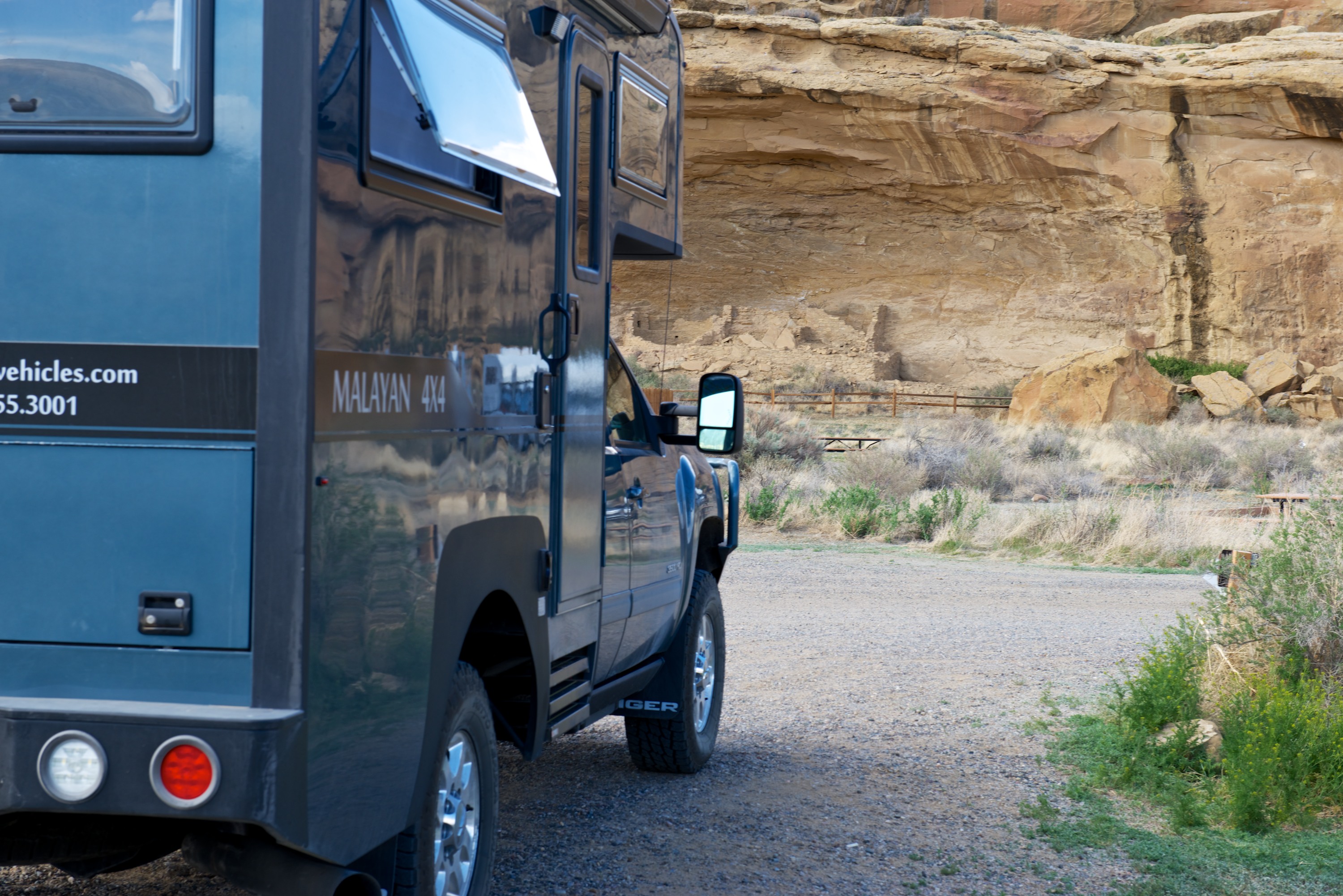
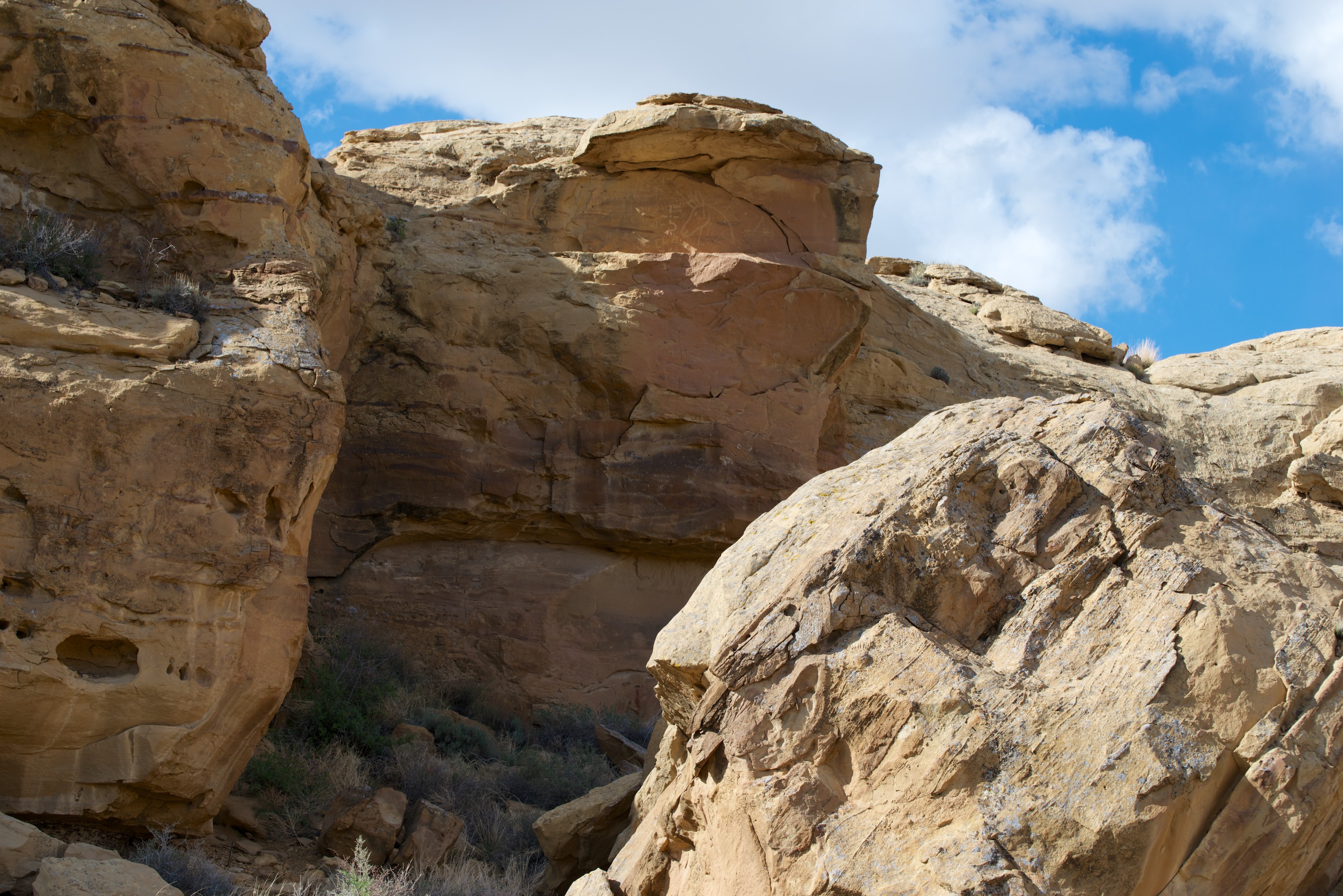
We then headed to the Chaco Cultural National Park. (http://www.nps.gov/chcu/index.htm)  En route, in additional to snow, it hailed and rained on us, though never enough to do any good and wash any of the dust off!  Our trip to Chaco proved remarkably easy and the Tiger acquitted itself well on the dirt roads. Denise loved driving!  Upon arrival, we purchased our camping spot but were told we could only stay one night.  A pity, but we decided to make the most of our time and set off to take photos of Fajada Butte, an amazing structure all on its own and of great significance to the Chacoan peoples who lived there for more than 400 years.  Near the campsite were also some petroglyphs, hard to see, but worth it for the ambience.  How many campsites have ancient rock art?

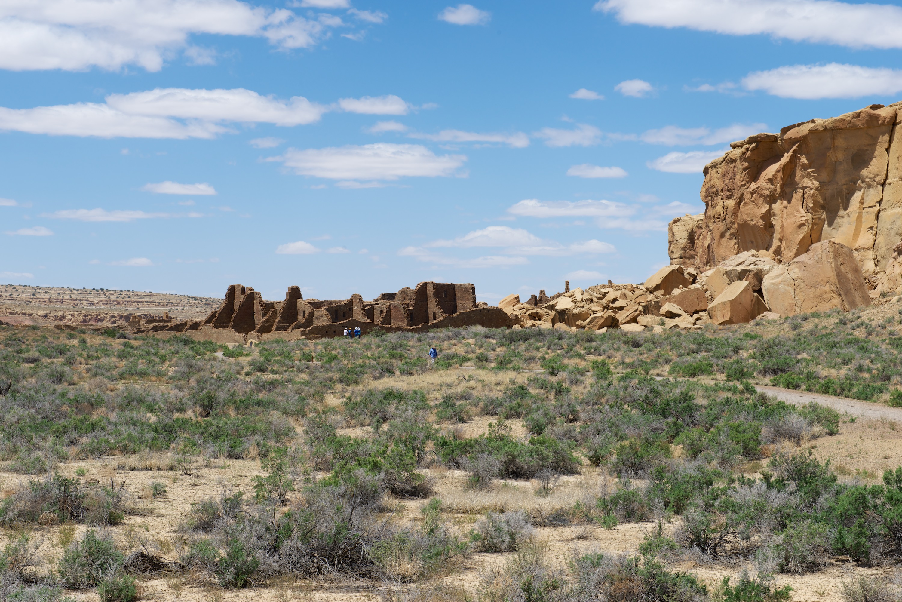
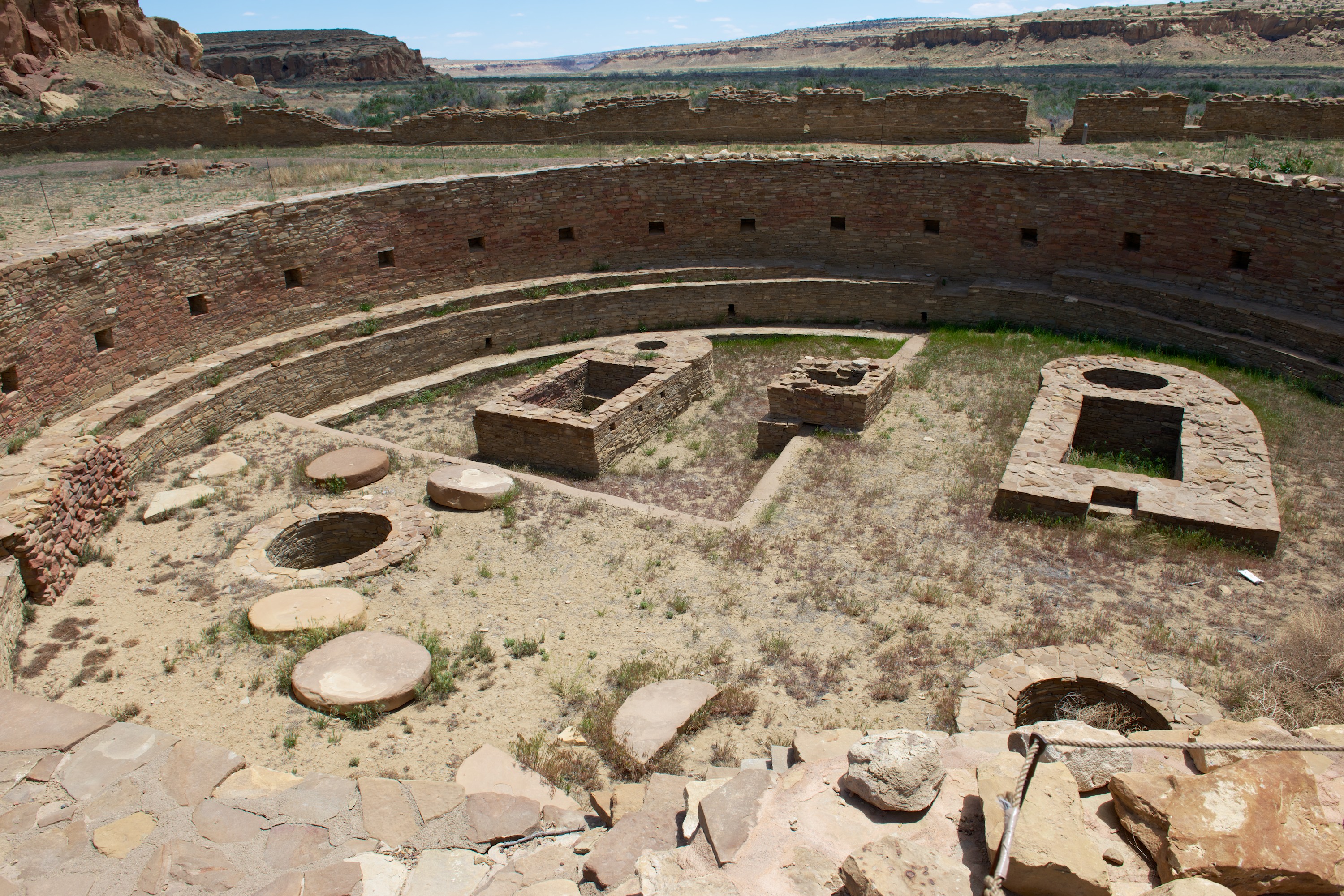
Next day, we were able to talk our way into a second night’s camping (someone had left early), so we signed up for that and then set out to view the sites.  There are five in total and we only saw three before exhaustion set in.  We began by hiking in a ranger guided tour to Una Vida, a small great house, most of which was under our feet as it has not been excavated.  The ranger was informative and we learned a lot about the sites as a whole.  We then climbed the cliff to view the petroglyphs (and take photos of course).  We then saw Chetro Ketl and Pueblo Bonito, both large sites with multiple buildings with many rooms and kivas, both the large Great Kivas and small kivas and round rooms.
It was a much warmer evening and Fred had energy to hike up to take evening photos of Fajada Butte.  I stayed behind to keep Blue company!  Blue is thriving as a camper cat and becoming more adventuresome all the time.  His leaps from the couch to the bed are quite amazing.

We left Chaco via dirt road, (this time with Fred driving) and were pleased again with Ndeke Luka’s stability.  We are headed to Arizona but stopped for the afternoon (and chores) in Gallup, NM at a very pleasant RV park on a Route 66 theme.  This is our first RV park for a week and we remain impressed with our constant solar power.  We have only plugged into RV park electrics on the three days in San Antonio when the temperature hit the upper 90’s. The air conditioning felt wonderful for sleeping!

Chaco  0001 How often can you camp right next to ancient ruins?

Chaco  0002

Chaco  0003Denise admires an ancestral Puebloan building sheltered by the rocks at the Chaco campground.

Chaco  0004 Defaced rock carvings.

Chaco  0005 The carvings are up on the the cliff.

Chaco  0006 Sunset in the campground.

Chaco  0007

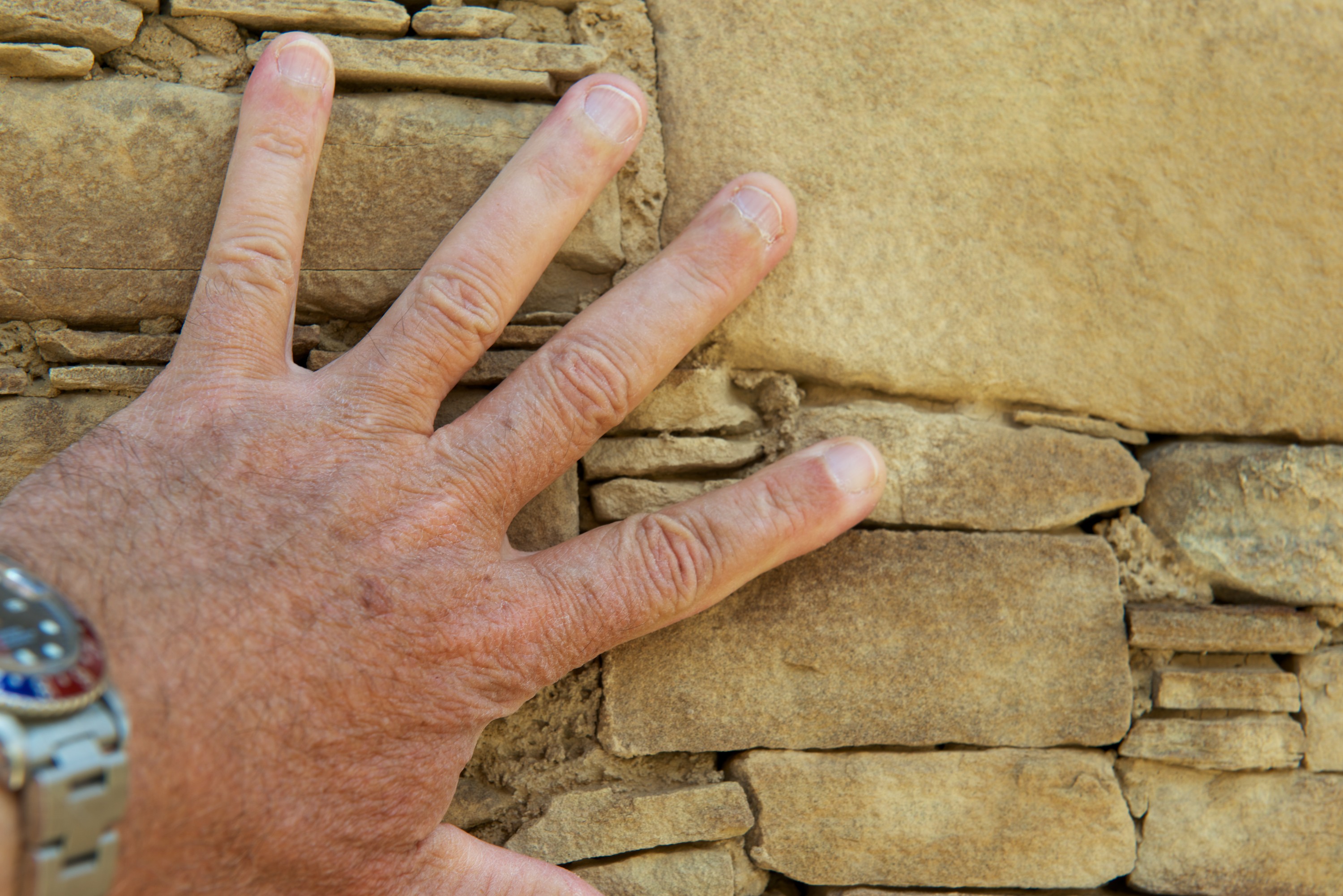
Chaco  0010 Beautiful stonework.

Chaco  0013

Chaco  0014 The massive ruins of Pueblo Bonito rise four stories tall.

Chaco  0015 An excavated “great” kiva. All of these structures would have been underground.

Chaco  0016

Chaco  0017 The next great rock that will fall.

Chaco  0019

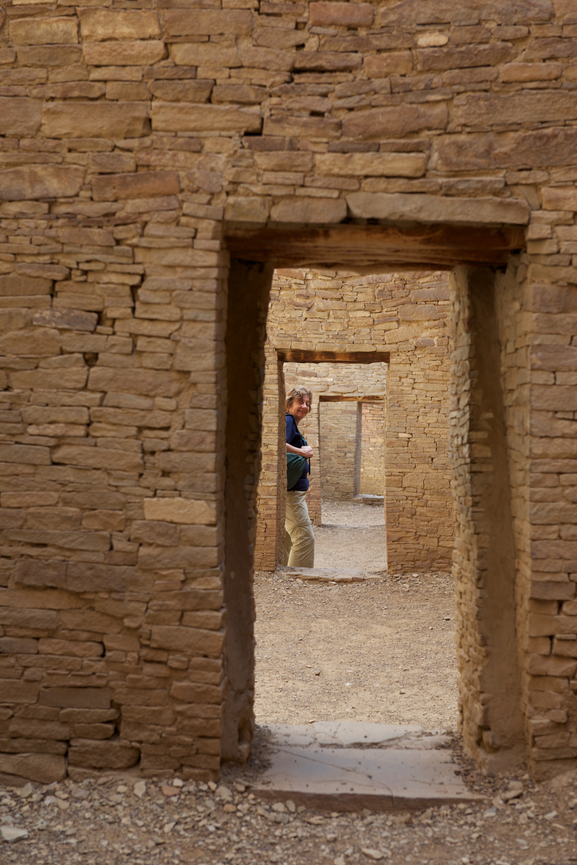
Chaco  0020 Unusual diagonal connection between rooms.

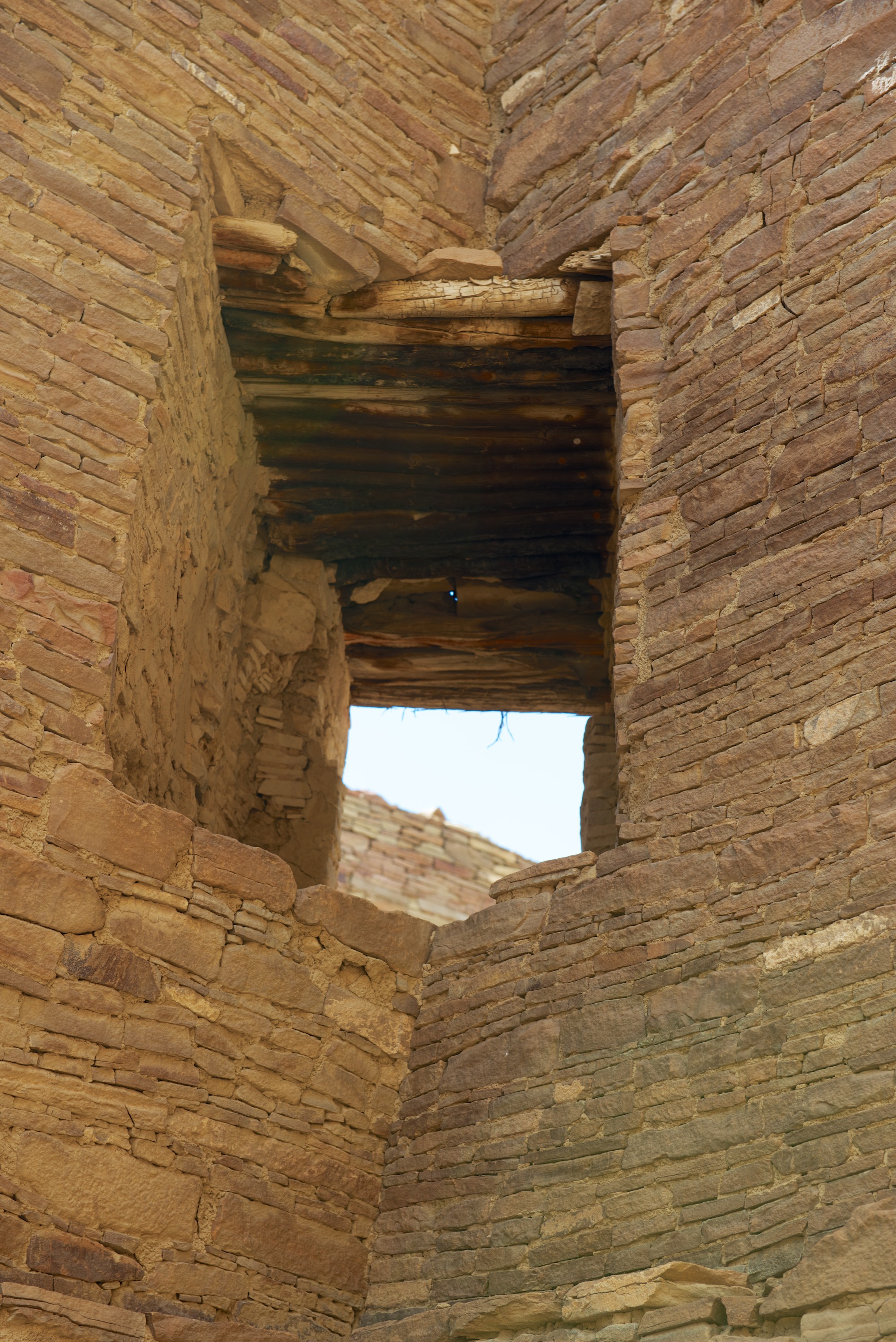
Chaco  0021 Original roof/floor beams, hundreds of years old.

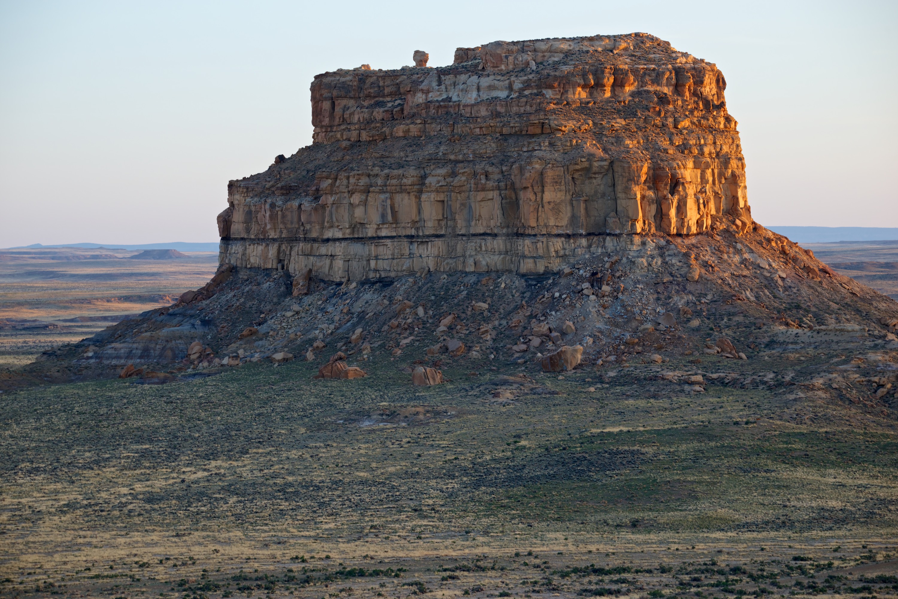
Chaco  0022 Fajada (belted or sash) butte at sunset.


Tierra Encantada

We entered New Mexico from West Texas, from the desert, and continued to drive through the desert for days.  It was dry and bleak with an occasional oil well pumping and a few head of cattle occasionally visible in what looked like desert ranges. No shade anywhere and the sun shone down relentlessly from a deep blue sky. There was nothing enchanting about this.

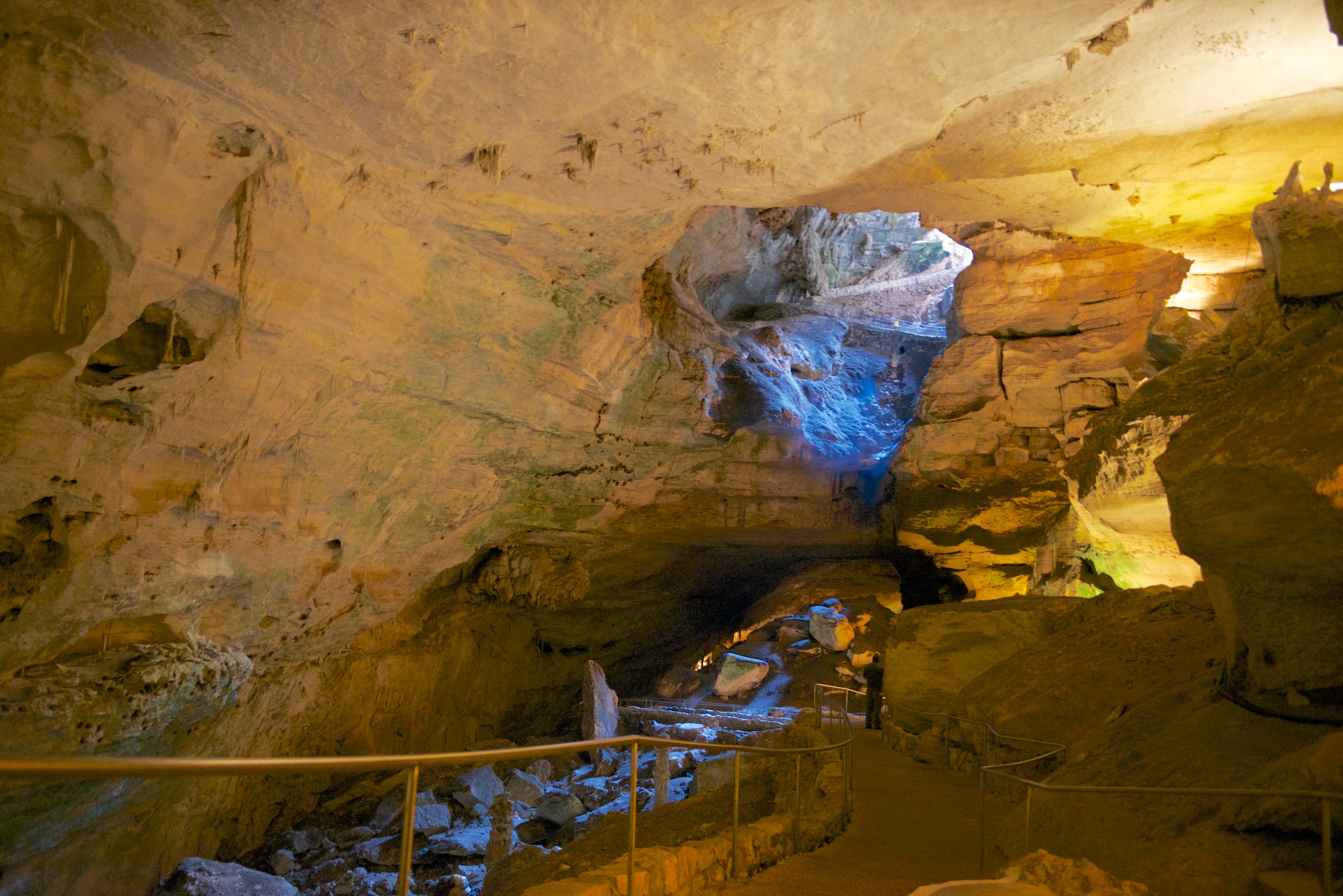
Our first stop was at Carlsbad Caverns.  We arrived in the afternoon to get our bearings but decided to visit the caverns the next morning.  We did however return at 7.00 pm for the bat flight.  This was not spectacular as it is early in the season and there are fewer bats in residence in the cave, but we had an interesting introduction by a ranger and we did indeed see a number of bats fly out of the entrance of the cave and chitter above our heads.  Brought back memories of Bangui, where we had thousands upon thousands of bats in the trees near the Residence. These bats were considerably smaller and  quieter.

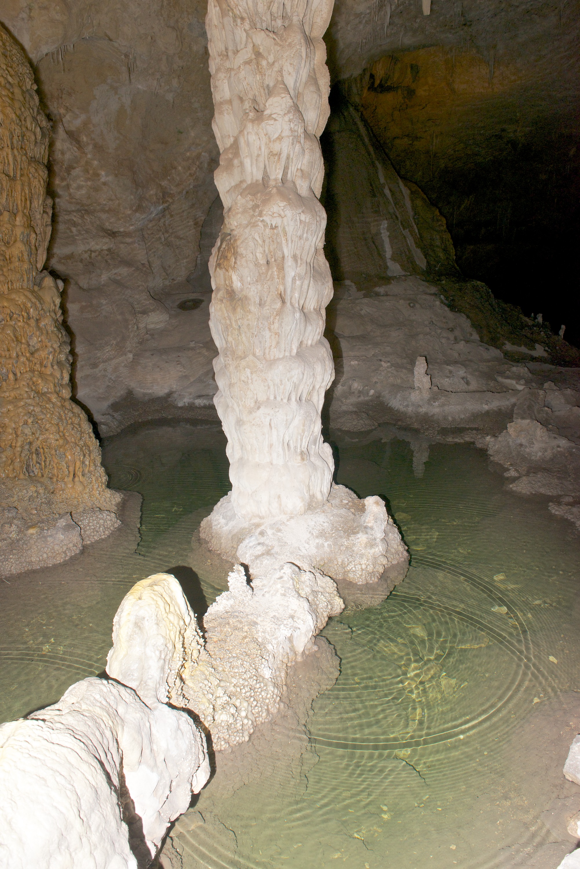
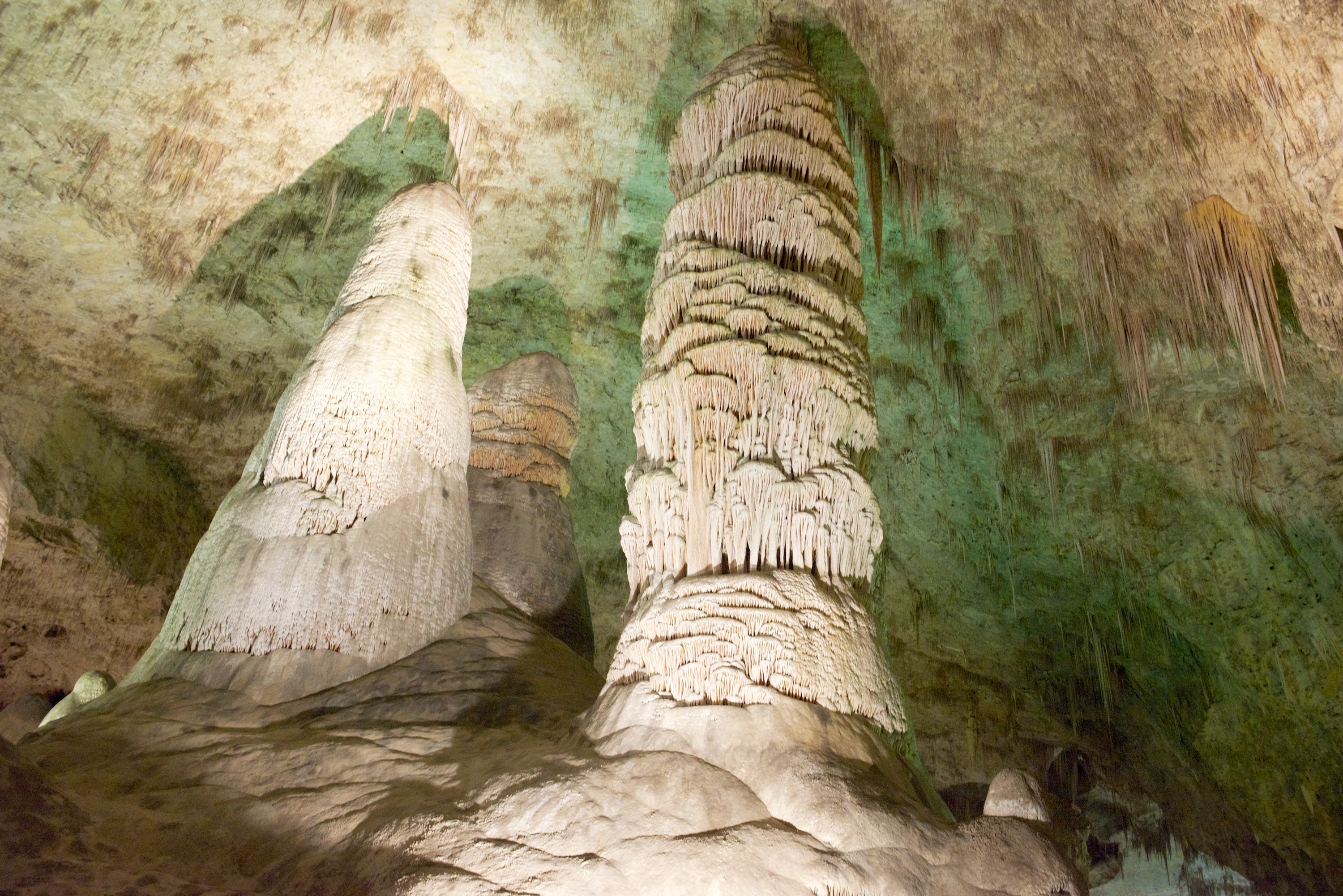
The campsite near the entrance to the Carlsbad Cavern National Park was full, but they let us stay in the residential area at a reduced rate and they had a laundry and excellent internet service!  Plus we were back up at the caverns by 8.30 AM the next morning when they opened the cave entrance, ready to visit.  We entered on foot through the Natural Entrance descending about 800 feet over a distance of 1.25 miles.  It was an amazing experience.  In order to reduce moss growth, the NPS reduces the amount of lighting, only using just enough that one can continue the descent.  Certain really spectacular formations are lighted but most are not.  It gives one a real feeling of how it must be to explore a wild cave.  Once at the base, we walked a 1.7 mile loop of the Big Room.  This is a huge cavern, which is the most popular part of the caverns to be seen by tourists as it has elevator service down and up. We enjoyed our visit and the many spectacular formations of stalagmites and stalactites.  They are still discovering new caves and galleries so it is an amazing complex.  At the end of the visit, we wimped out and took the elevator back up!

Carlsbad  0001

Carlsbad  0002

View back towards the Natural Entrance from the first room in the cave. A bat’s eye view, if you will, as this is their flyway.

Carlsbad  0003 Column in a pool of water.

Carlsbad  0004 It is a long hike down.

Carlsbad  0005 Enormous columns, over 50 feet high.

Carlsbad  0006 The lower levels of the cave are closed to the public. But the ladder from an old expedition is still available …

Carlsbad  0007 The Big Room is, well, big. Click the image for a larger view and look for the person for perspective.

We went on to visit the Living Desert Zoo and Garden, a botanical garden and animal research zoo, specializing in desert wildlife and fauna.  It was an easy way of seeing everything that is native to this region. As the temperature was near 90F, we saw a lot of dozing animals – Black bears, wolves, mountain lions, elk, prairie dogs et al were sending up lots of zzz’s.  It was a good visit though we might have seen more action in the morning!

LivingDesert  0001 LivingDesert  0002 LivingDesert  0003 LivingDesert  0004

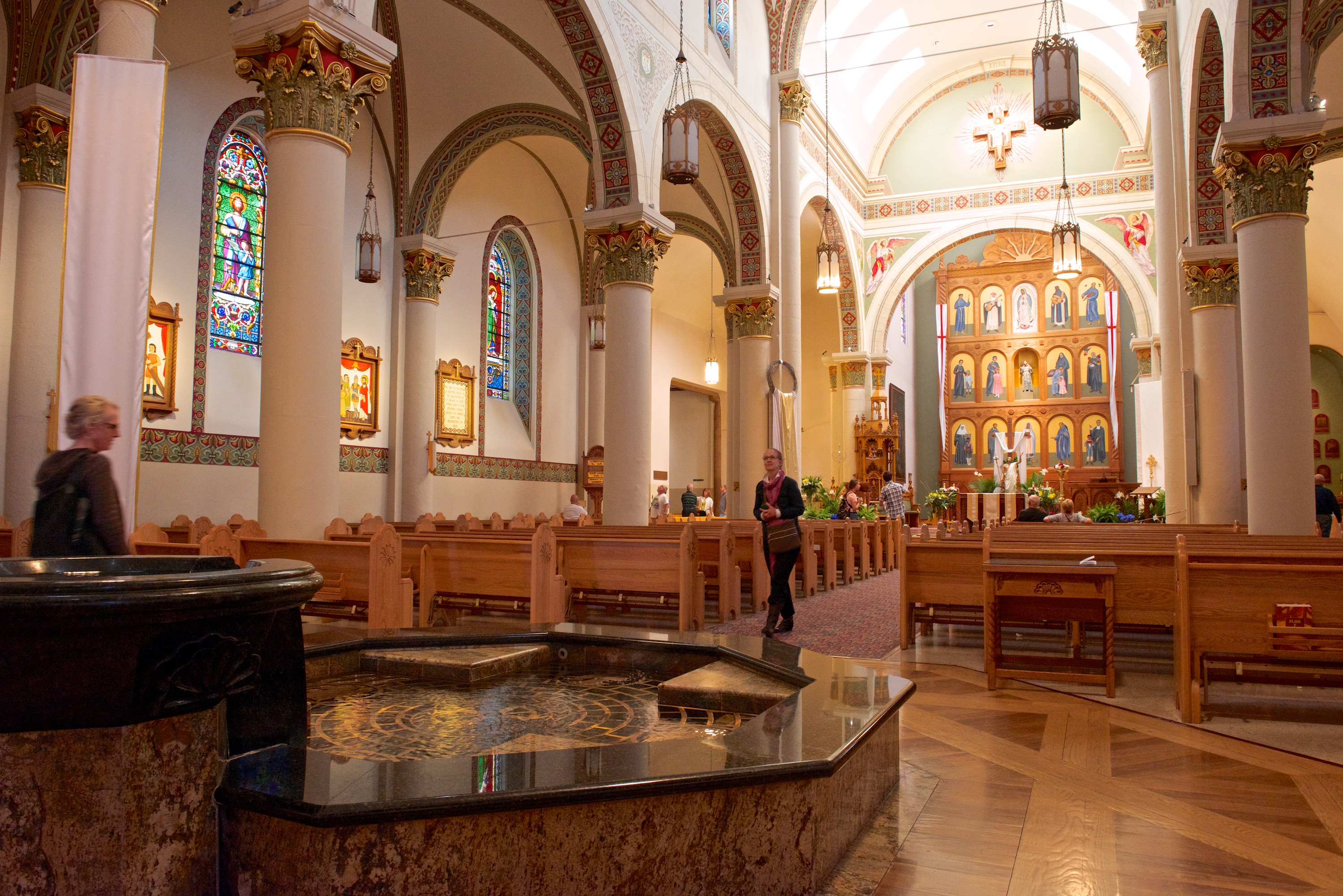
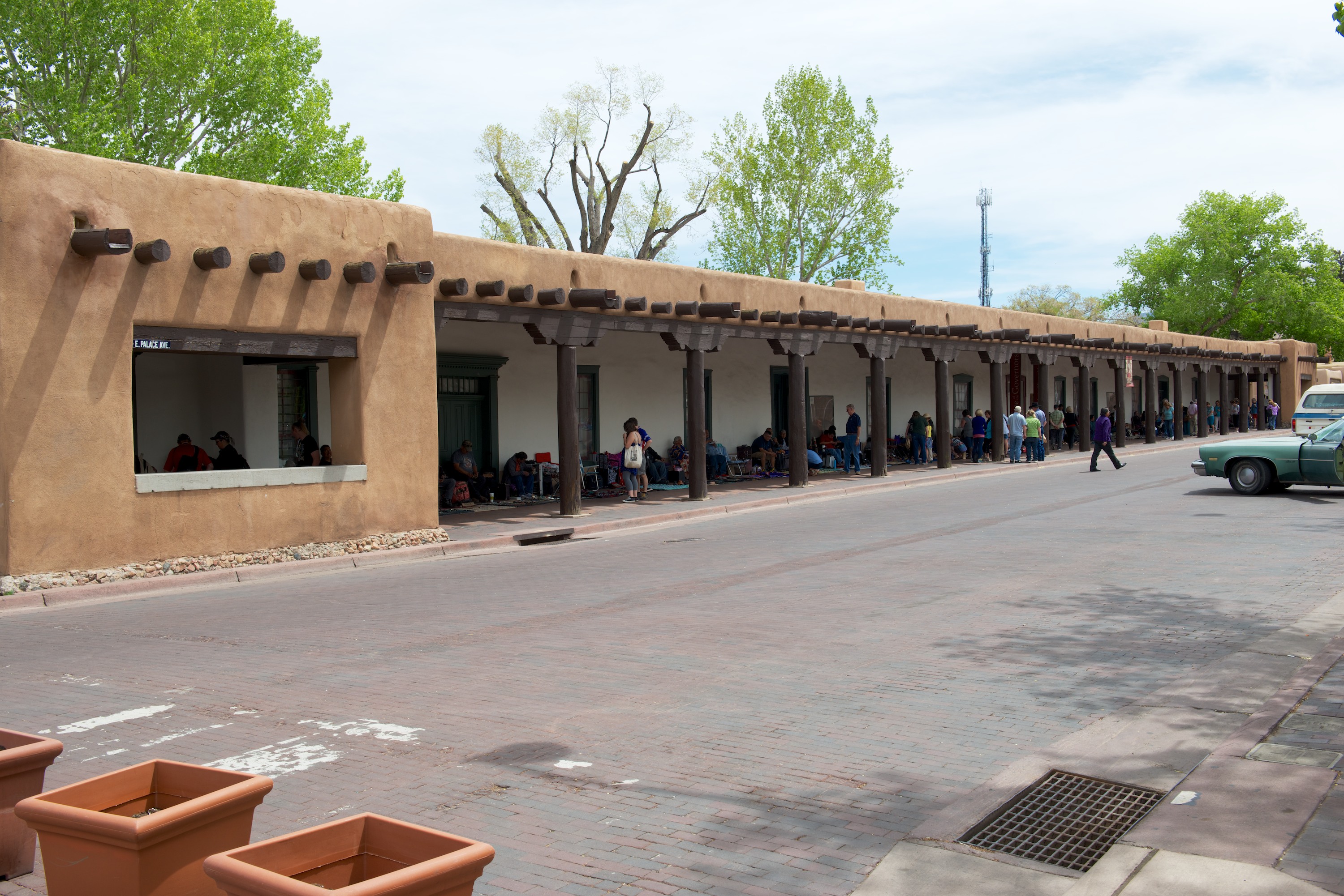
Santa Fe is a lovely town with adobe architecture, amazing history, and the advantage of being much cooler!  In fact, it was chilly at times. Wonderful!  We camped at the Black Canyon campsite, just outside of town in the Santa Fe National Forest. It proved so pleasant that we remained a third night.  After days of desert, camping among pine trees was such a pleasure, even at 8,000 feet!  We visited the Plaza, including the Cathedral and also the San Miguel Mission, both wonderful old adobe churches, with statues brought from Mexico in the 1500’s.  We also spent a couple of interesting hours in the Governor’s Palace and History Museum, which was excellent.  We also had to support the economy of the jewelry vendors outside the museum of course!

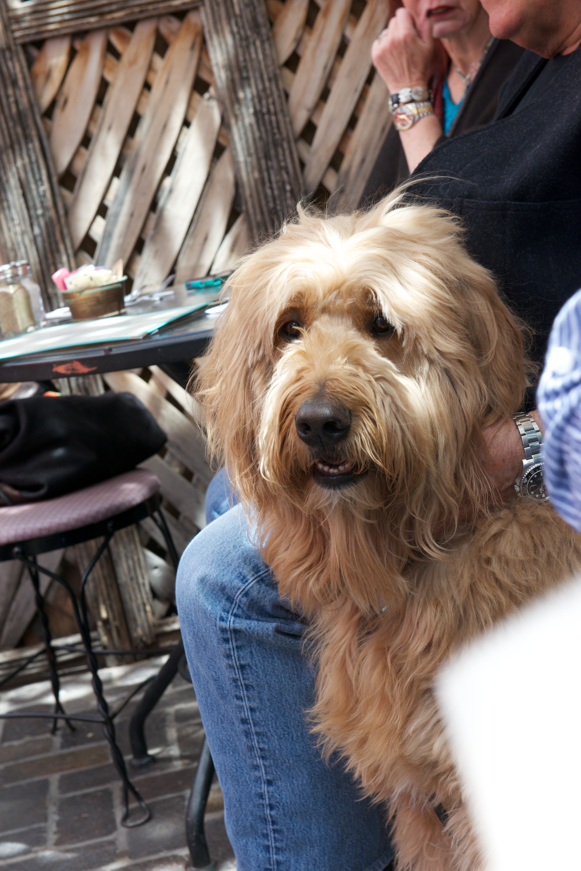
Armies may or may not travel on their stomachs, but we are always on the lookout for a good feed. We had enjoyed our taqueria in San Antonio and we wanted to see if we could discover how New Mexican food differed from that of Texas and Mexico. Don’t know that we found the differences, but thanks to a tip from a local, we found “The Shed” half a block up the street from the Plaza. Built in an old building with a traditional enclosed patio, The Shed offered wonderful food and dogs. Lots of dogs. From a monster described as a cross between a standard poodle and a golden retriever, to a pack of labradors, all in training to be companion dogs. All in all, highly recommended, great food for man or beast. http://www.sfshed.com/home.html

SantaFe  0001 Even the tourist information center is beautiful.

SantaFe  0002 The baptistry in the Cathedral is modern and quite remarkable for its design and symbolism.

SantaFe  0003 The statue of Maria de la Reconquista. Today, this is taken as a reaffirmation of faith; after 1680, it was a very literal reconquest.

SantaFe  0004 SantaFe  0005 The Governor’s Place is one of the oldest buildings in Santa Fe having survived even the Pueblo revolt of 1680, occupation by the Pueblos, and reconquest by the Spanish.

SantaFe  0006 SantaFe  0007 Put a saddle on that beast!

SantaFe  0008

SantaFe  0009Obligatory nature/flower/animal/bird shot. (Taken in our campground at Black Canyon.)


I Knew Texas was Big, but …

it took two more days of pretty much just driving to reach our next goal, Fort Davis! Of course, there were wonderful interludes like stopping for coffee and an amazing cinnamon bun in a small town called Medina. The coffee shop also had that most wonderful of commodities, free internet! We then walked across the street to a wonderful ACE Hardware where we proceeded to buy peat moss, split loom wire protectors, tie wraps and some other odds and ends – we made their day for the most eclectic mixture of purchases.

We stopped for the evening in a really nice independent campsite (no other real options) called the North Llano River RV Park. They had a great laundry, which meant that the clothes got washed. It was pleasant, much cooler than the temperatures we had suffered in San Antonio and we were invited to share a glass of wine with some very pleasant Texans in a nearby space. (It all started when Denise accosted one of the ladies who was walking a beautiful German Shepherd.) We ended up joining them for dinner at a local dive and enjoyed chicken fried steak with lots of fried vegetables (potatoes, squash and huge onion rings. (Well, it is Texas!). There was a salad bar also, so the diet was only partly shot!

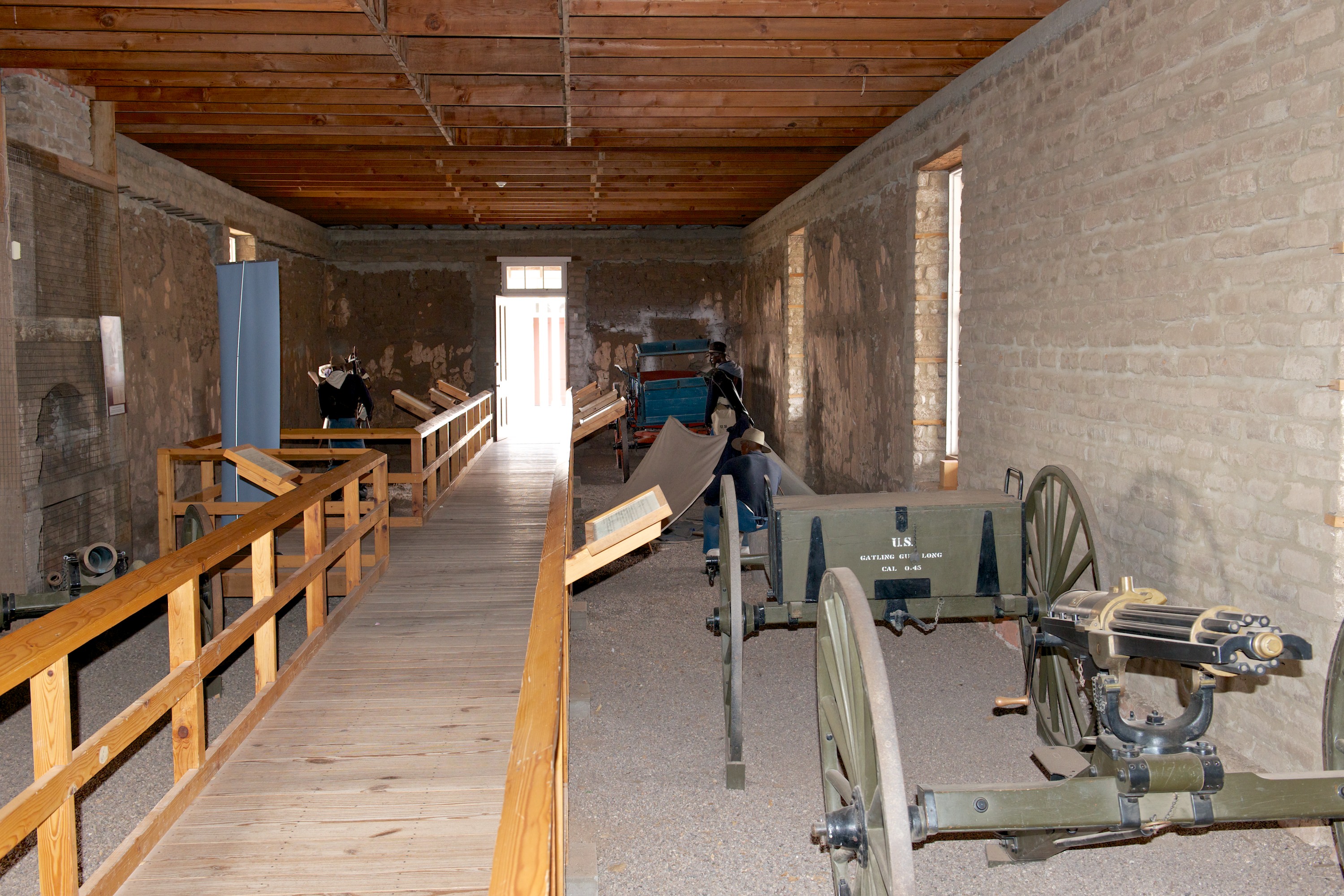
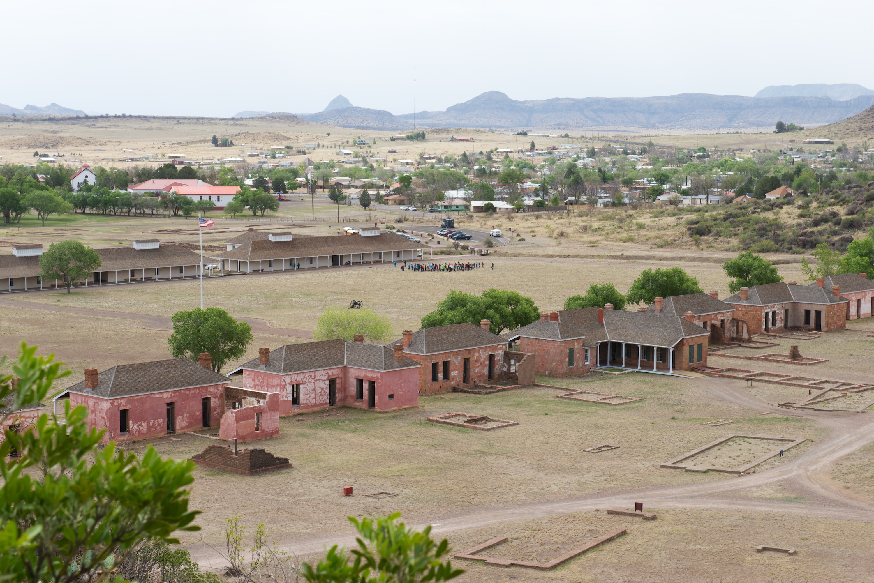
The next day we made it to a lovely state park, Fort Davis State Park. It was still very windy and temperatures had not made it above the low 60’s so it felt cold. The next day dawned cloudy and still super windy. It felt very cold, so having dressed in multiple layers, we headed out to tour the restored fort. The day continued windy and cloudy, but we had a wonderful time inspecting all of the exhibits and climbing to the top of the mountains behind the fort. Fort Davis had a long and fascinating history, from being established before the Civil War, evacuated and occupied by the Confederates during the Civil War, and reoccupied by the U.S. Army after the Civil War. It was manned by the famous “Buffalo Soldiers” for a time before finally being closed when the Indian Wars ended. See more here: http://www.nps.gov/foda/index.htm Highly recommended.

FTDavis  0004Looking across the parade ground towards the Officers’ quarters. We climbed to the top of the mountain in the background.

FTDavis  0005

FTDavis  0006Denise playing the “Road to Fort Davis” game. It took about a month to reach Fort Davis from San Antonio.

FTDavis  0001 View climbing the hill. Note the school kids invading the site.

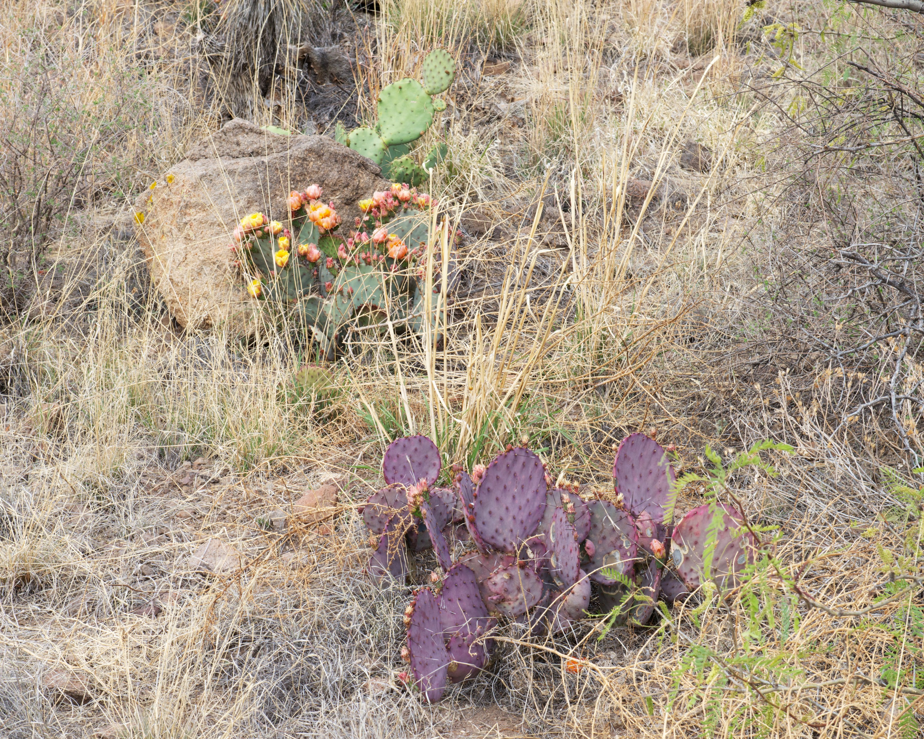
FTDavis  0003 FTDavis  0008Beautiful cacti on the hill.


Into Texas, or, “To Camp or Not to Camp”

With apologies to the Bard, the question is not “To camp or not to camp?” but “Where to camp?” Whether ‘tis nobler in the mind to seek out a pristine forest or local park, or to yield to the temptations of a commercial campground with power and water. With the temperatures soaring into the stratosphere, we have done a bit of both.

Our first campsite in Texas was just over the state line in a county park. It was really more of a day park but they did allow some camping and once we had bought a permit for the princely sum of $3.00 they escorted us to our site. They pointed out that they locked the gates at 7:00 PM and wished us a pleasant evening. It’s the first time we have ever had a whole park to ourselves!

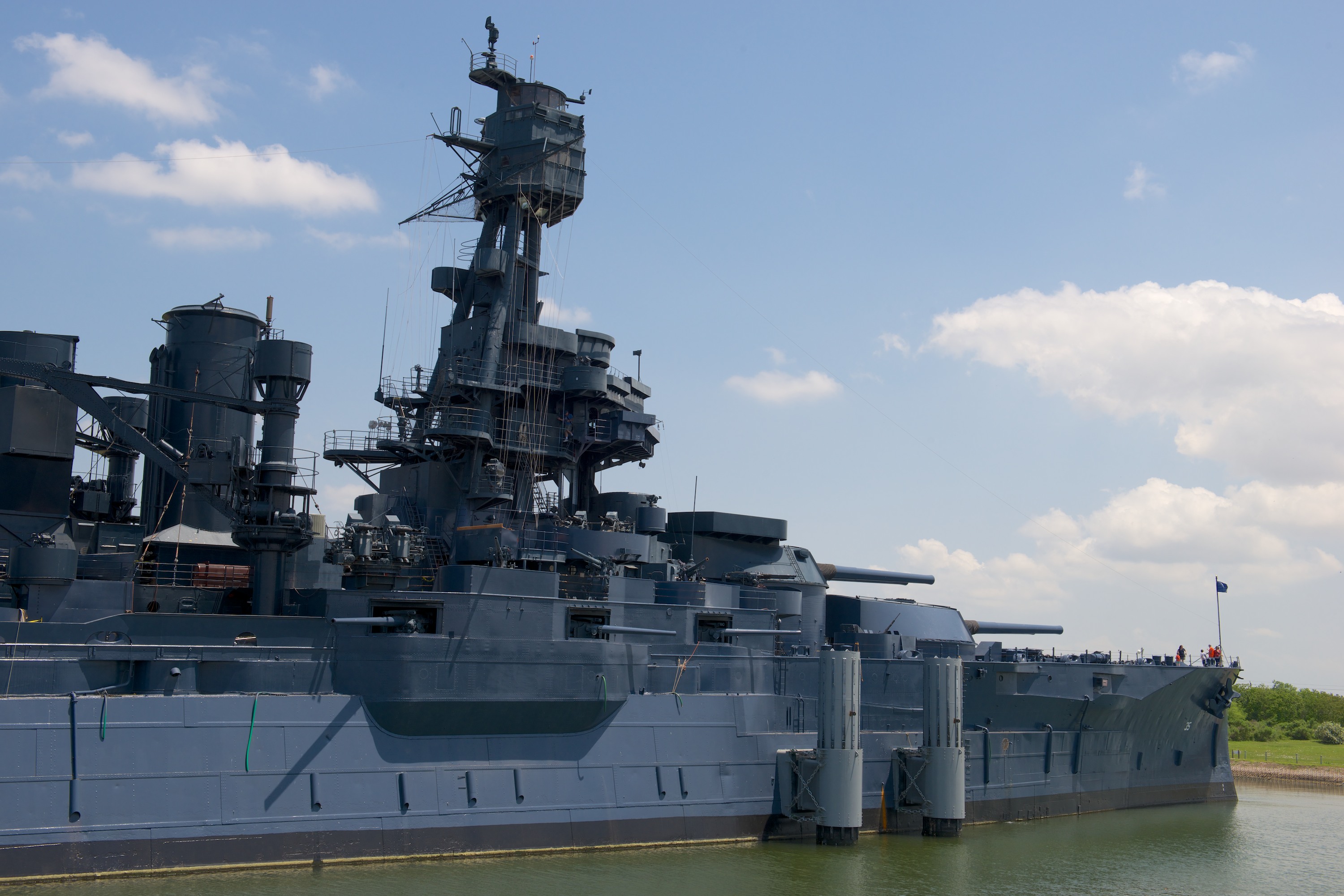
The highlight of our first full day in Texas was a visit to the USS Texas, which is on the Gulf side of Houston at La Porte. It shares the honors with the San Jacinto battlefield which, while preserved, sits incongruously in the midst of acres of oil refineries and holding tanks. The USS Texas is a bit unique among modern museum ships as she is a 1914 “Super Dreadnaught.” As such, she was built to burn coal, has two triple expansion piston engines, and, most unusually for U.S. battleships, she has five turrets. She served in the First World War but saw no combat. Between the wars she was converted to oil and equipped with new, tripod masts so that she resembles a famous ship that was one generation newer, the USS Arizona. Despite her age, she saw extensive action in the Second World War, most notably at the Normandy invasion and later at Iwo Jima and Okinawa. Fans of things naval will rejoice in the anachronistic combination of 5” casement mounted guns along side the ubiquitous 3”/50, quad 40mm, and 20mm guns. Highly recommended.

OEXPO  0011 (1) OEXPO  0009 (1) OEXPO  0008 (1)

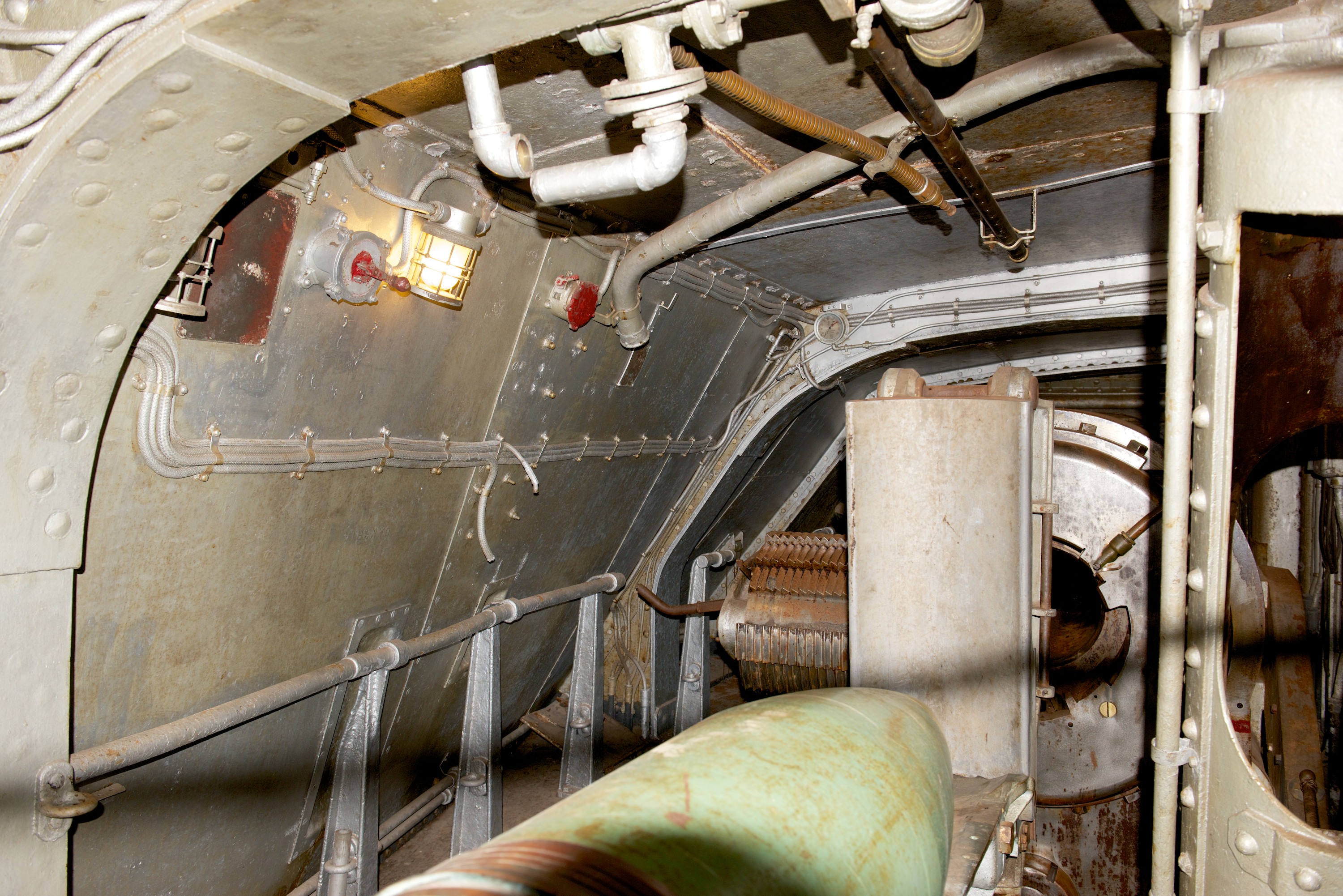
Breech of 14″ main battery gun with shell on the track.

OEXPO  0007 (1)

San Jacinto monument as seen from the U.S.S. Texas.

OEXPO  0010 (1)

Can’t be too careful. (I won’t repeat what I was told to do with prophylactics when I was a Midshipman.)

Our second night in Texas we found ourselves shut out of the inn or at least the State Park where we stopped first. So we ended up cheek and jowl with dozens of other campers in an independent campground. If the camp was less than charming, our neighbours did prove to be and even loaned us their long handled “Class A” windshield cleaning wand and soapy water to wash our windscreen the next morning! It made quick work of a small vehicle like Ndeke Luka. We then headed to San Antonio.

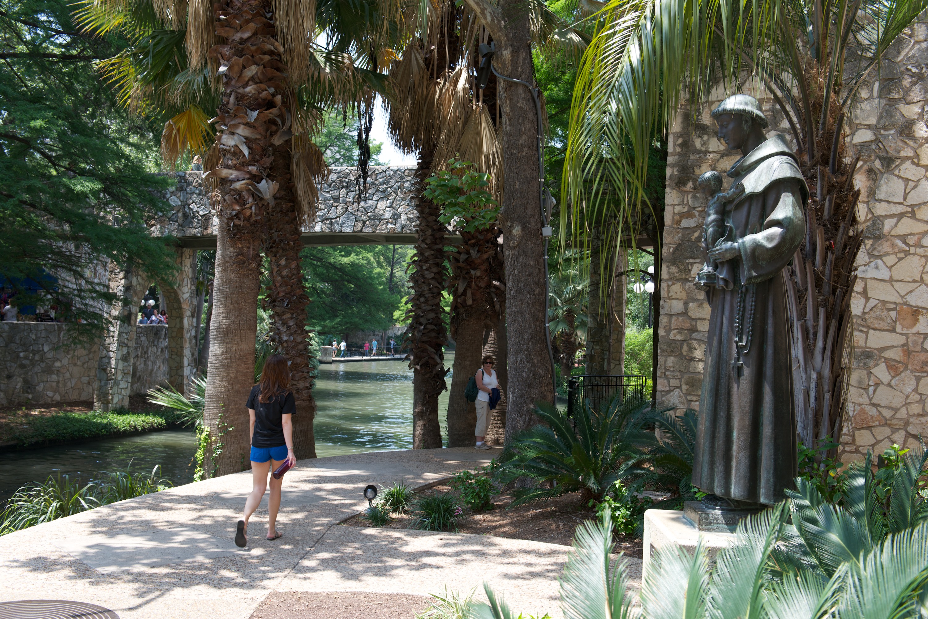
San Antonio again found us in a very busy and rather tightly packed, independent campsite but with a great location on the river and very near the missions. It also had lots of shade, and better than average Internet access. Every bit of shade helped as the temperature set a new record of 99F. We ate at a wonderful Mexican casual diner across the street. Looked like nothing, but all but had a line out the door. (We were the only Anglos in the place.) We ate very well and were even serenaded by a trio of Mariachi players. At this point, it was clear that we were in Texas!

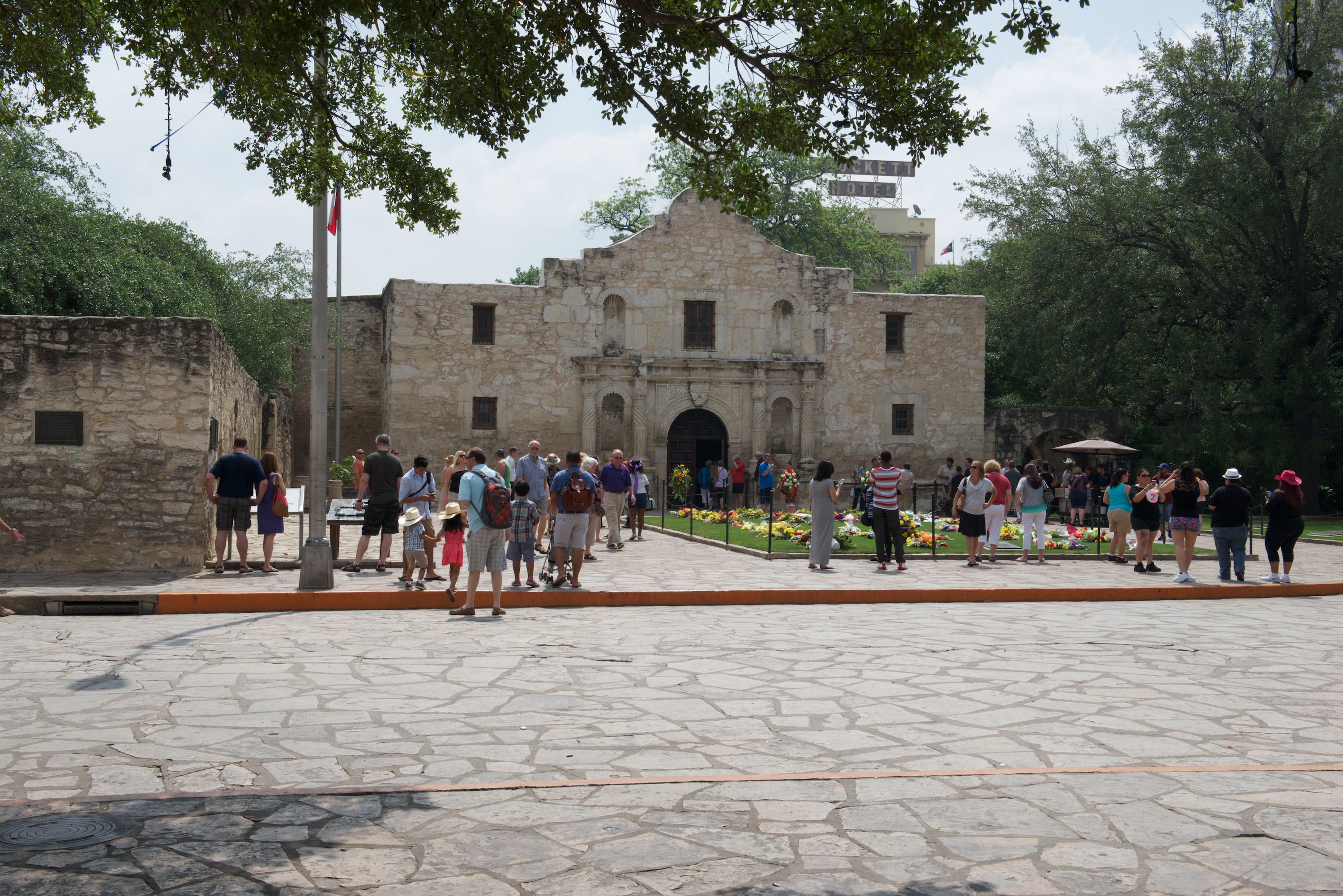
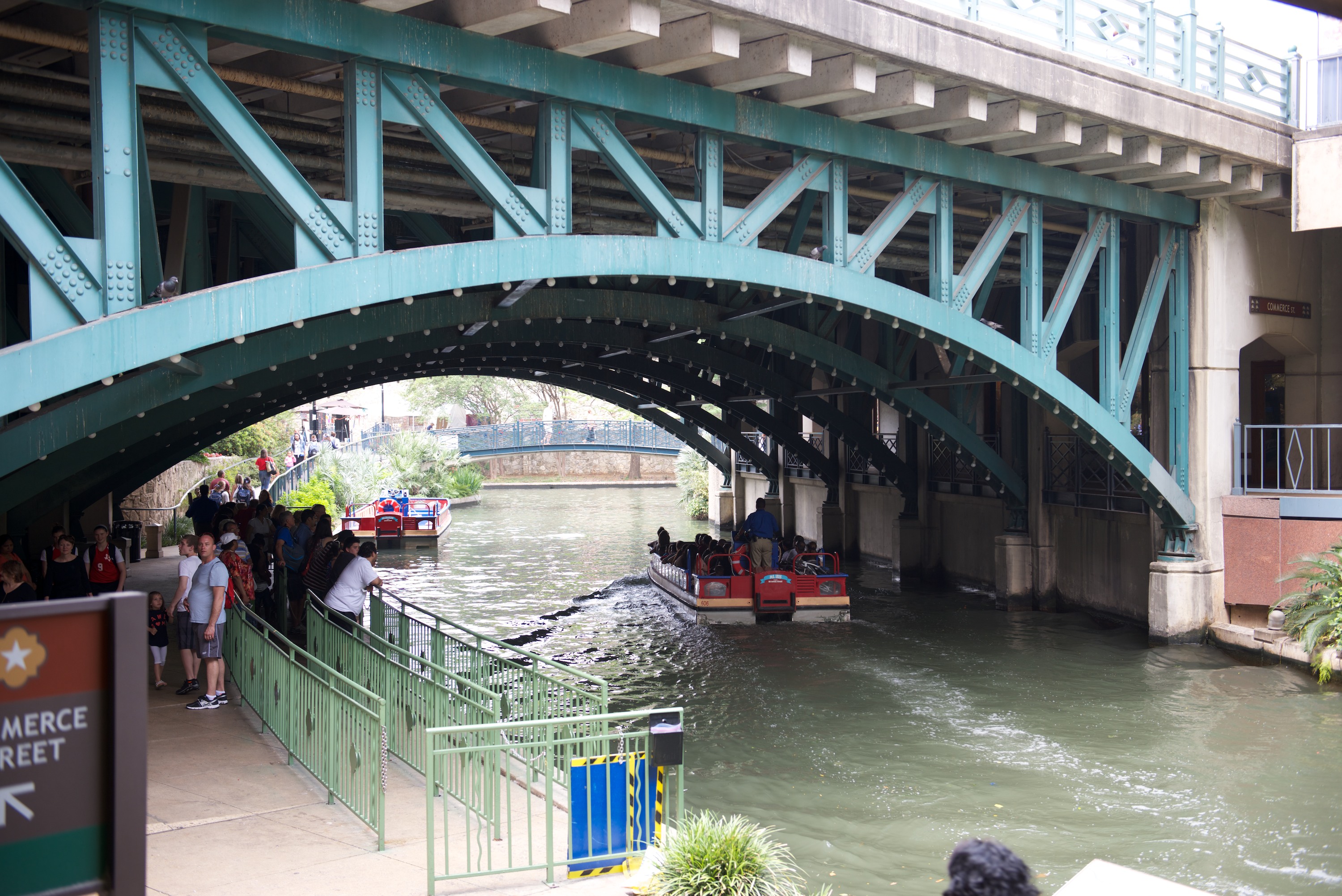
A well-placed bus stop outside the campground deposited us in San Antonio, a short walk from the Alamo, which was much easier than parking. The Alamo looked just like its photos! Of course, all true history buffs know that the actual fort, the old mission walls, were in front of the famous facade, which is only the front of the church. We were fortunate enough to join a historical lecture and learned a lot about the history of Texas, which stood us in good stead as we completed our visit in the museums.  We took a double decker bus tour that was a bit underwhelming. We thought the town had rather a gritty feel to it that did not encourage us to wander.  It may have been partly detritus due to the closing parade of the Fiesta celebration for there was a goodly amount of trash everywhere. However a riverboat ride on the river by the Riverwalk was enjoyable and well worth it. It was cool and shady for the most part also which may have helped. We lunched on the Riverwalk in a pleasant and cool Mexican café (what else?) with great people watching opportunities.

OEXPO  0013 (1) OEXPO  0012 (1)OEXPO  0014 OEXPO  0015

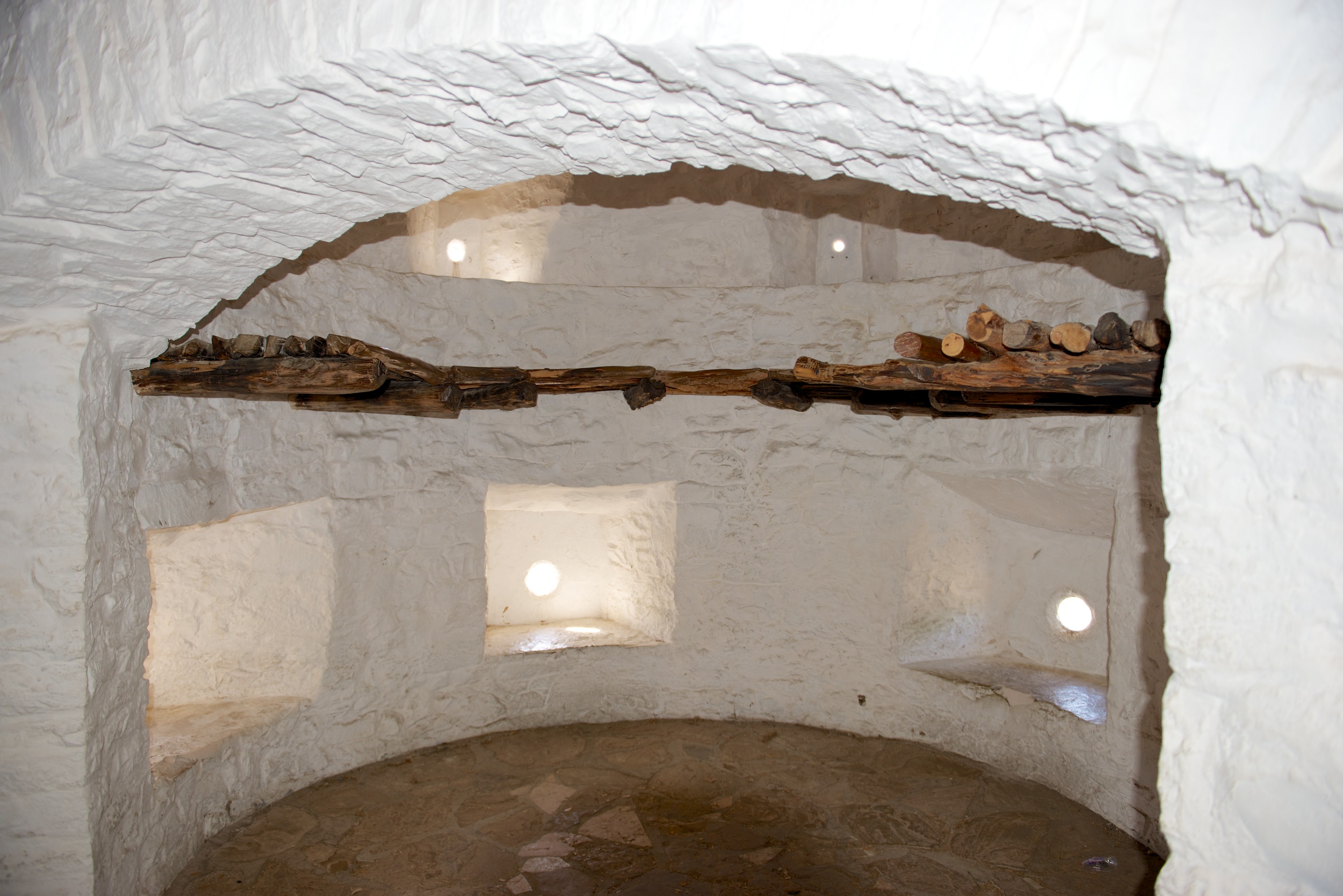
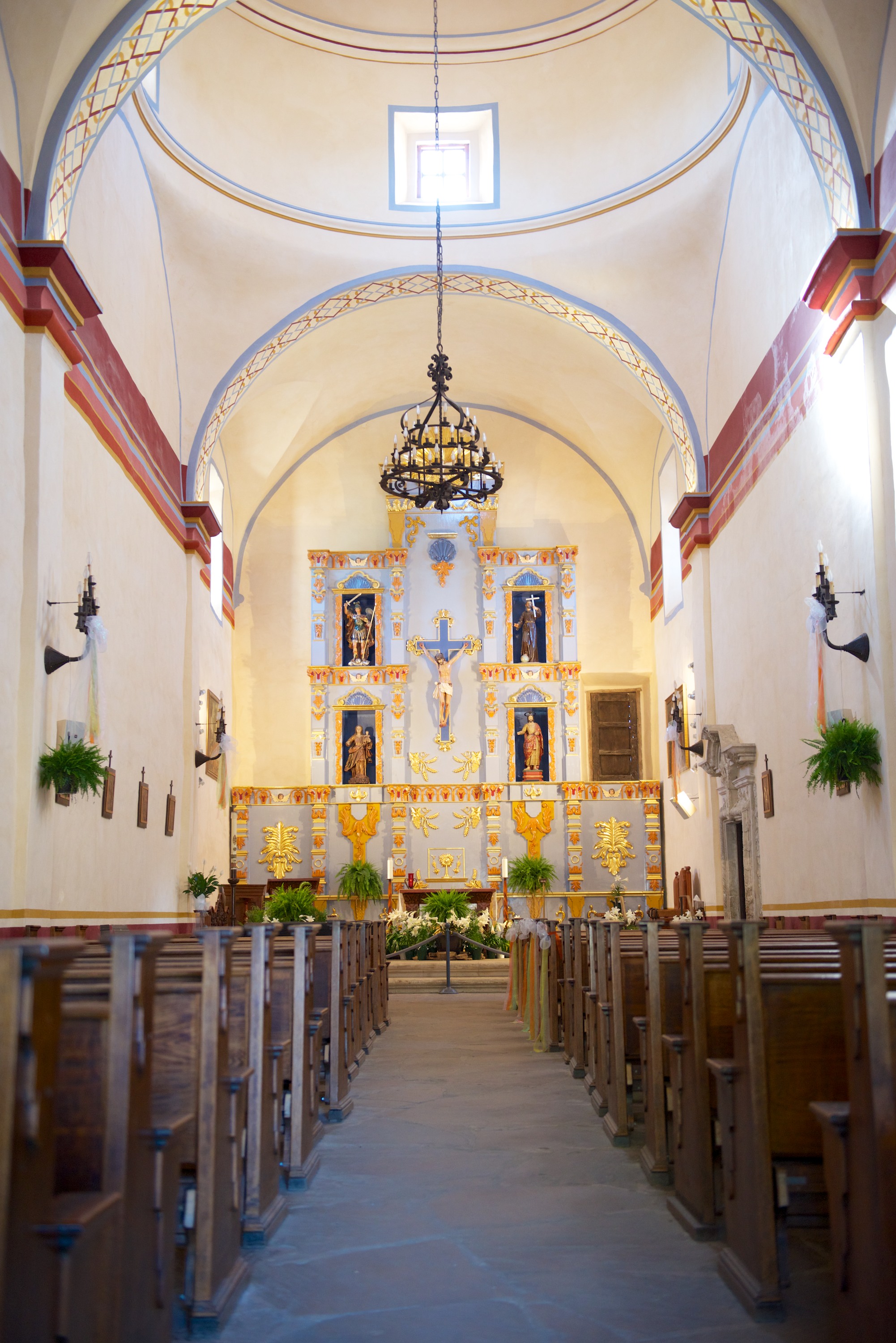
We ended our visit to San Antonio the next day with visits to two of the missions. Mission San Jose is especially worth a visit as it has been almost completely reconstructed and, as a result, looks more like the Alamo than the Alamo itself. You can really see that the missions were well built to repel attacks by those Indians who did not convert.

OEXPO  0016 OEXPO  0017

Interior of the corner bastion, cannon down below, muskets above.

OEXPO  0018 OEXPO  0019 OEXPO  0020

Fun Facts about San Antonio: (These must be true as we heard them from tour guides.)

— San Antonio has long had a large German population. Like Rick, they came for the waters. In this case, to use the waters to make beer. With the coming of Prohibition, they faced ruin. So they moved production to Mexico and gave their San Antonio beers new names – like “Corona”, “Dos Equis”, et al.

— The fajita was invented by a Mexican living in San Antonio. When it was a hit, he went home, hoping to make his fortune in Mexico. The Mexicans, however, dismissed the fajita as not being an authentic, Mexican dish. So he returned to San Antonio, took U.S. citizenship and opened a restaurant named “Mi Tierra.” Which restaurant is open to this day.

— San Antonio has a large flour industry, but not a lot of corn. So the German flour miller began to make tortillas from flour and they remain an option in Tex-Mex restaurants.

True? Who knows, but they make good stories.

OEXPO  0021

Finally, hiding from the sun at the Hill Country Nature Reserve.

Et toi! Or how to say “Hi” in the Louisiana Bayous.

Heading down towards the Gulf Coast, we drove that iconoclastic road, Highway 61, of devilish fame. We passed many crossroads but, sadly, Fred’s guitar playing is no better. Actually, Highway 61 was a very pleasant drive, not at all evocative of hard labor or oppression. It was an easy drive with no traffic though Fred was amazed when we came to a four way stop, where two four-lane highways crossed, in the middle of a small town, and nary a traffic light in sight. Such faith in human nature that traffic rules will be obeyed! (Or maybe everyone KNEW where the devil hung out.)

We crossed into Louisiana and found ourselves on a 19-mile bridge. Yes, we had arrived in the swamps and the road was built on pillars over the shortest distance through the swamp, 19 miles. Quite amazing. We stopped at the Visitor Center and enjoyed free coffee and a short movie. They are still building the whole complex and it is going to be well worth a stop when finished. But it did not tempt us to stop for lunch, though a restaurant covered in folk art called Crazy Bout Catfish did. We had a great lunch and both decided we liked crawfish. We knew we liked catfish courtesy of Catfish Dewey’s in Ft. Lauderdale, Florida!

Creole "raised cottage." How the creoles, not the Acadians, lived

Creole “raised cottage.” How the creoles, not the Acadians, lived

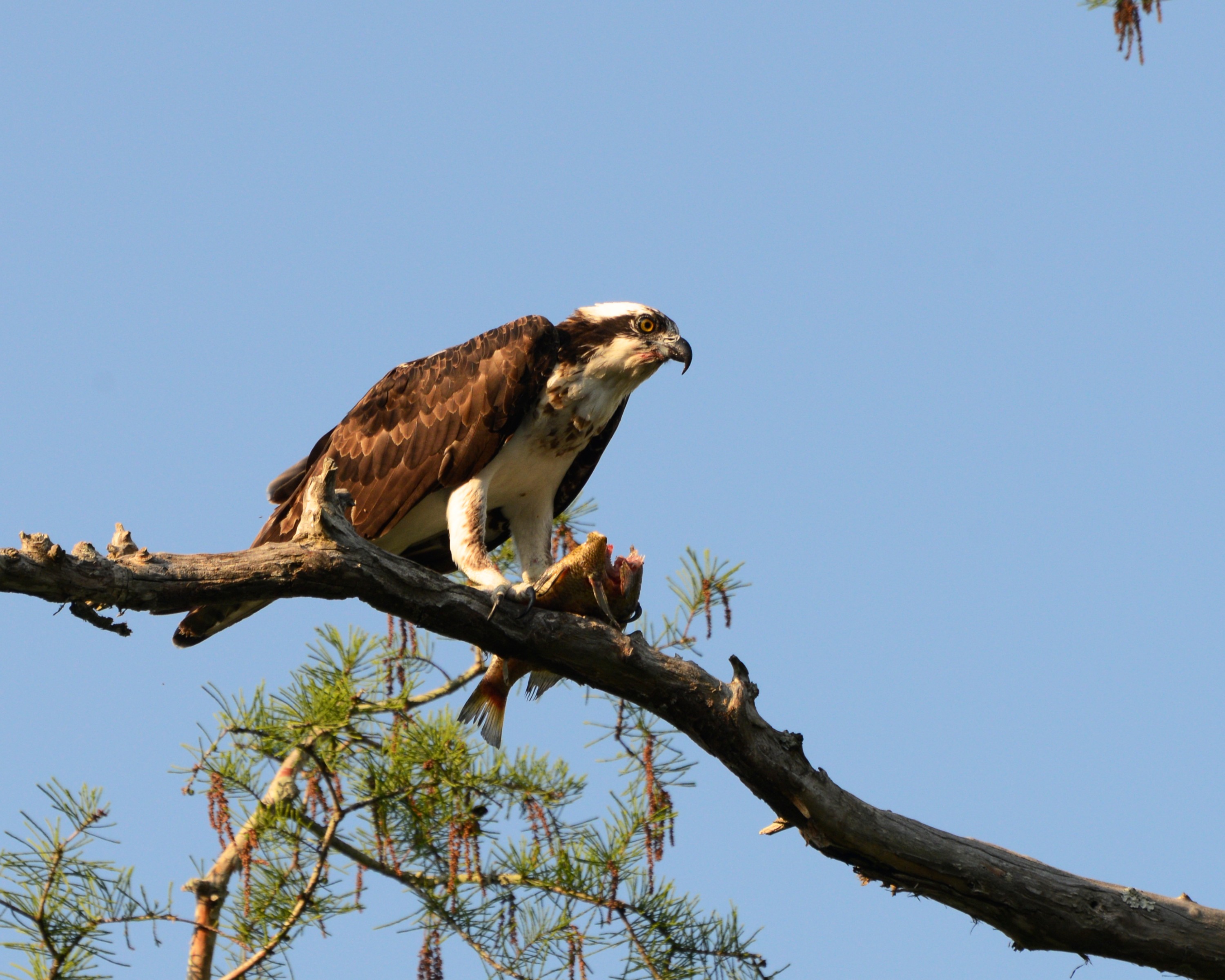
We were entering Acadia and the blending of the Acadian and Creole cultures and Denise wanted to visit a museum, the Longfellow-Evangeline State Historic Site, as it specifically documented their lifestyles, customs and culture. It was a fascinating place where you can see both an Acadian farm and cabin and a French Creole built Raised Creole Cottage. Both were furnished with appropriate furniture and tools. While there, we chatted to one of the Rangers and she recommended we head for the swamp, where a friend of hers owned a business. He would let us camp on the edge of the bayou. So we headed deeper into the swamp and indeed found Champagne’s Swamp Tours. We took swamp tours when living in Florida, but decided to join the evening tour in a small, flat bottomed boat. It was quite an experience and well worth it as you got to see everything up close and very personal. We saw at least a dozen alligators and various birds, including an osprey sitting on a branch munching on a fish. Everyone was snapping photos and it did not move.

Obligatory alligator photo.

Obligatory alligator photo.

Dinner is served.

Dinner is served.

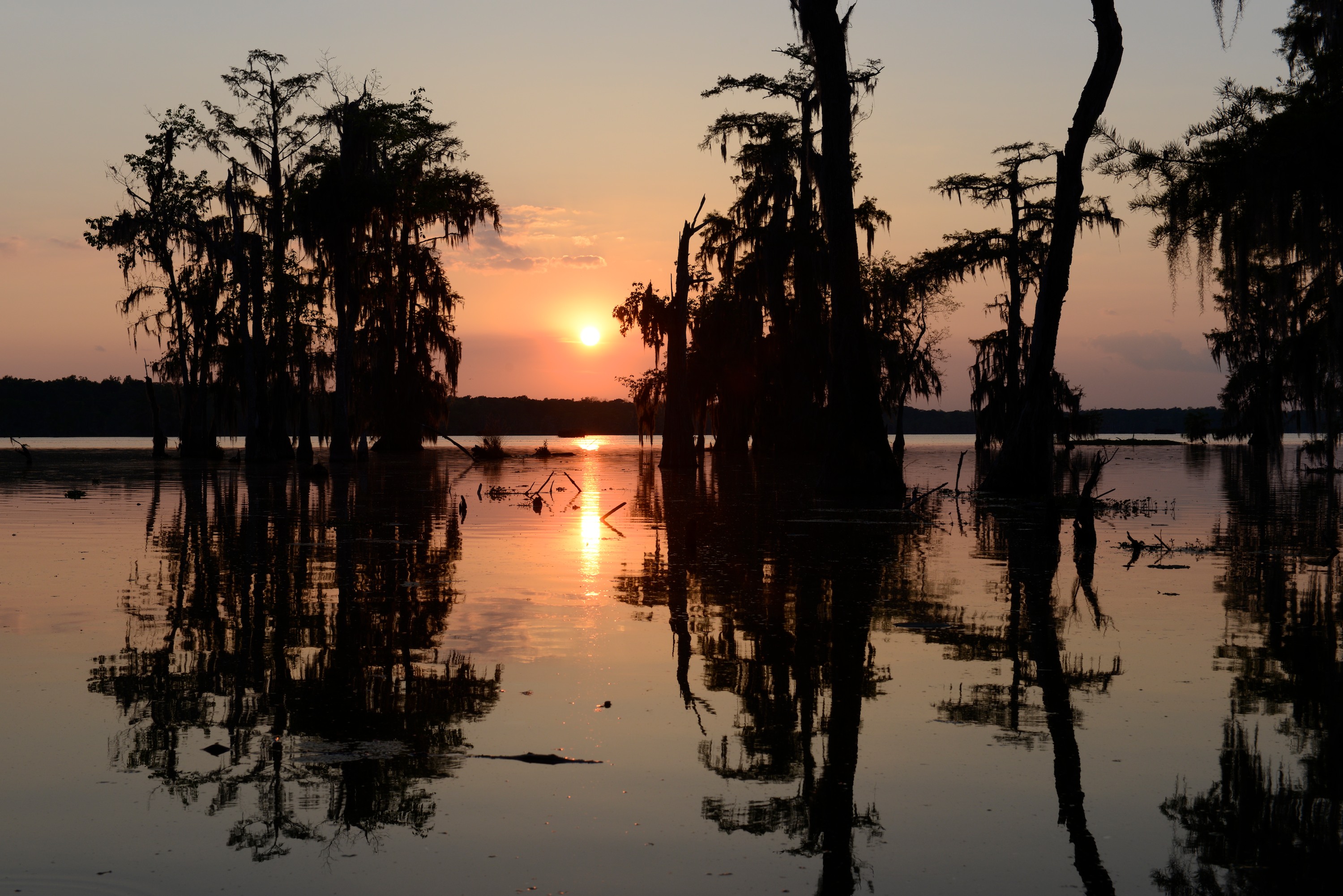
Sunset on the Bayou.

Sunset on the Bayou.

A misty, moisty, morning.

A misty, moisty, morning.

We moved on, the next day to Avery Island, home of Tabasco pepper sauce. We have used the stuff for years and, a bit like visiting Lynchburg, the home of Jack Daniels, we wanted to make the pilgrimage. While the tour itself is a bit underwhelming as, unlike the Jack Daniels tour, you do not get to visiting the actual production or curing facilities, it is well worth the one dollar toll to get to Avery Island, if only to trace the fascinating history of the place. Avery Island is actually a salt dome and while most of the peppers are actually grown in Central America from seeds from Avery Island, the salt mine is still active and the barrels are still covered with salt during the aging process. And where do you get primo barrels in this day and age? From Jack Daniels, of course. In fact, they are used much longer to age Tabasco than they are to age Jack Daniels. Worth noting – Tabasco gives out more and better free samples than does Jack Daniels!